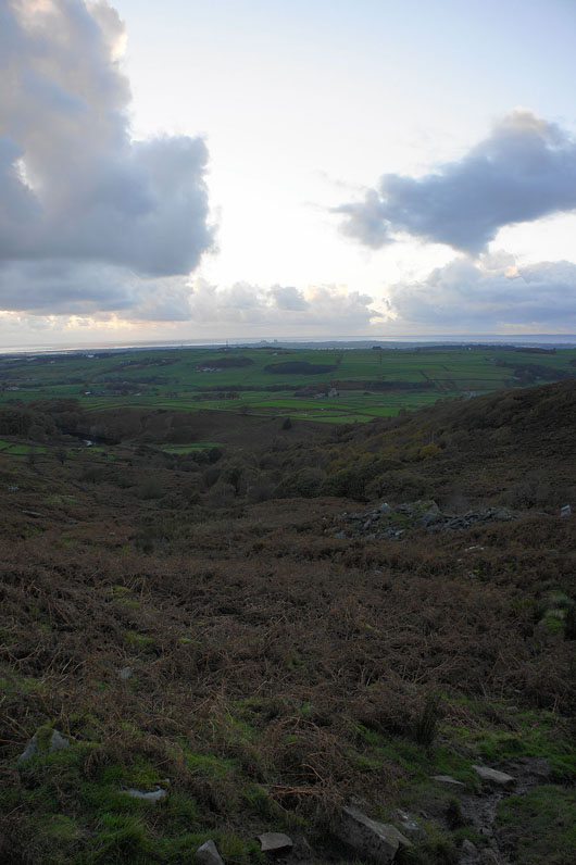
3rd November 2013 - Grit Fell & Clougha Pike
Walk Details
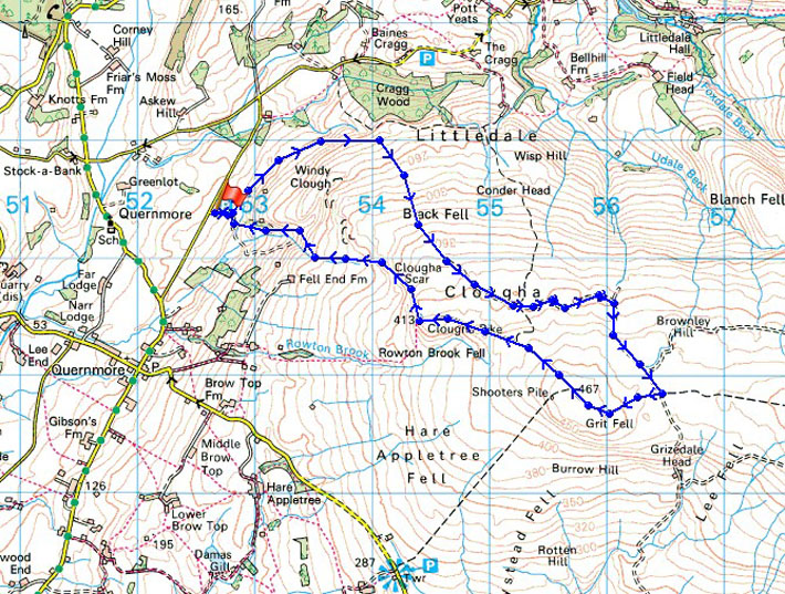
Distance walked: 6.2 miles
Total ascent: 1256 ft
OS map used: OL41 - Forest of Bowland & Ribblesdale
Time taken: 5 hrs
Route description: Birk Bank car park on Rigg Lane-Birk Bank-track round the back of Clougha-Grit Fell-Clougha Pike-Clougha Scar-Birk Bank car park on Rigg Lane
After yesterdays terrible weather of strong winds and heavy rain, today was a getting better sort of day. Apart from a brief shower not long after setting off it was dry and the strength of the wind gradually decreased through the day so that there was only a strong breeze blowing on Clougha Pike.
From the car park I followed a path across Birk Bank to pick up the shooters track that makes for the col between Ward's Stone and Grit Fell. I then paid a visit to the summit of Grit Fell before heading to Clougha Pike. My route back took me down Clougha Scar and through the woodland on Birk Bank to the car park.
Route map
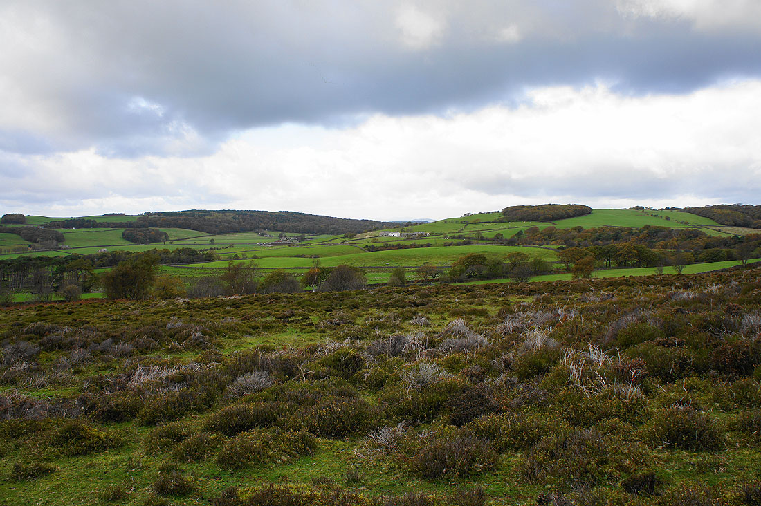
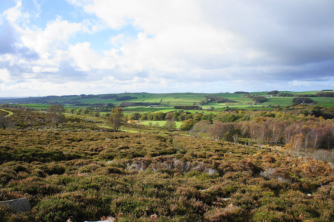
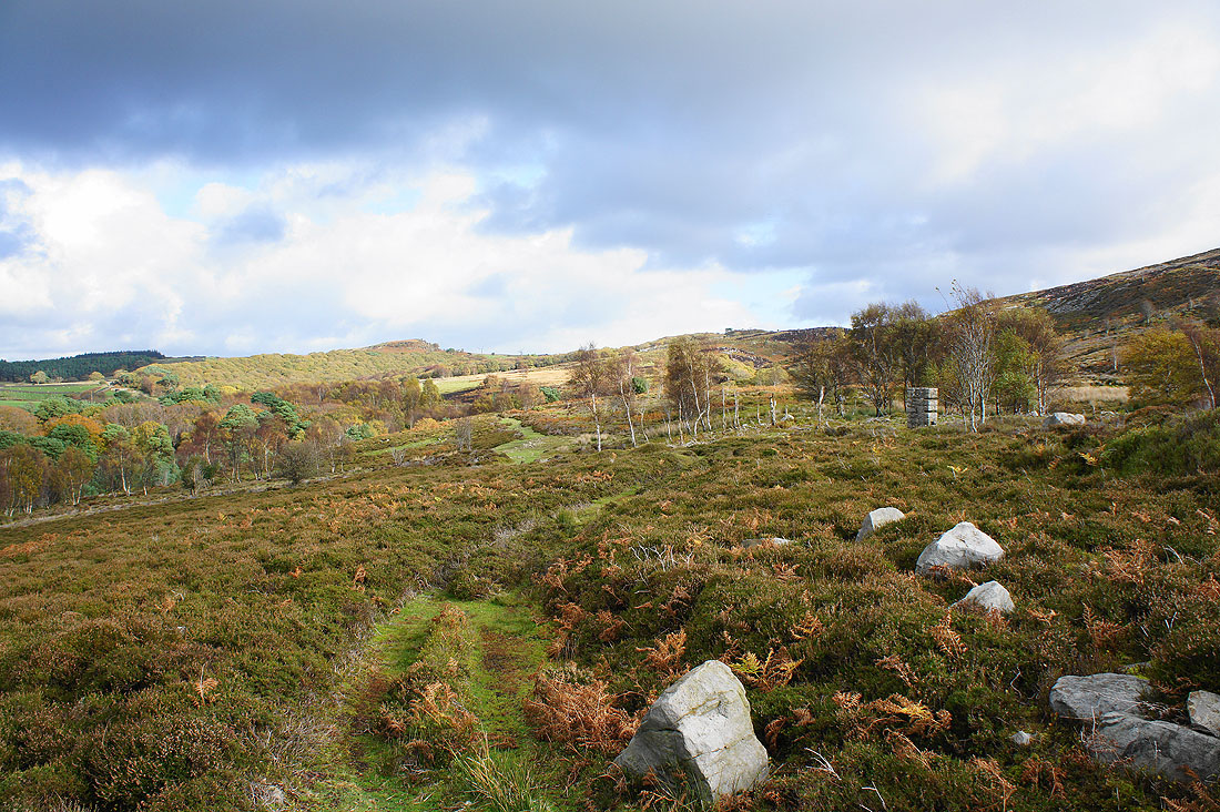
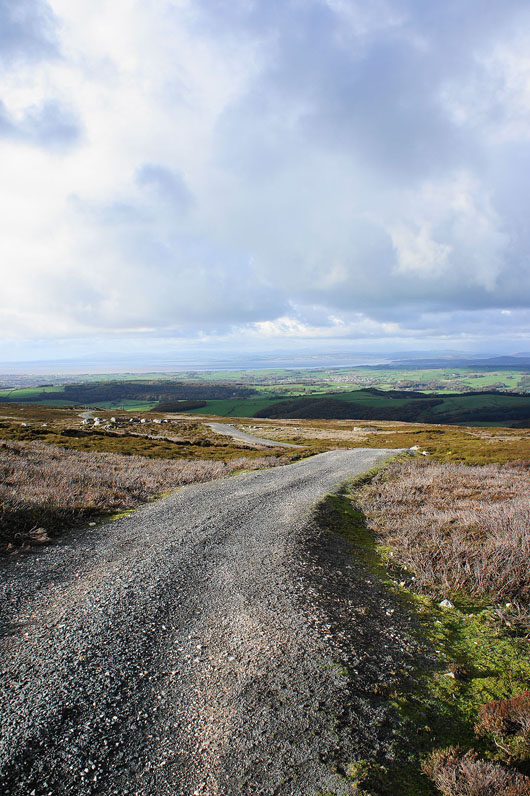
There are some nice views of the surrounding countryside as I follow the path across Birk Bank...
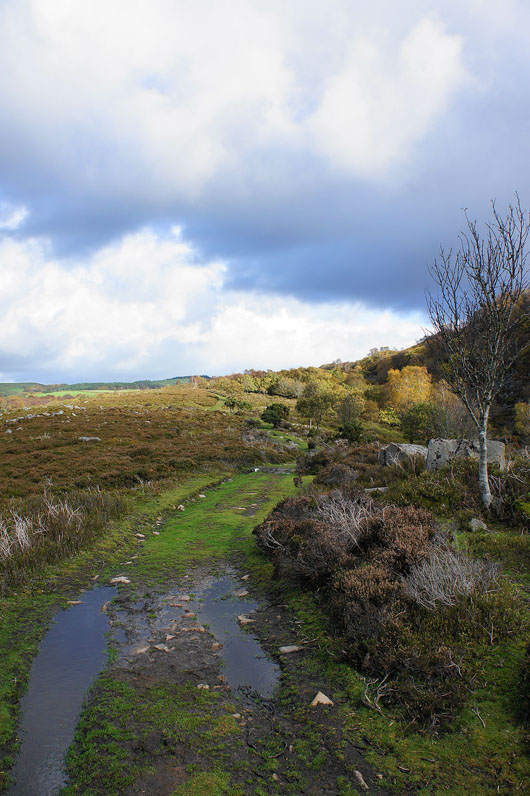
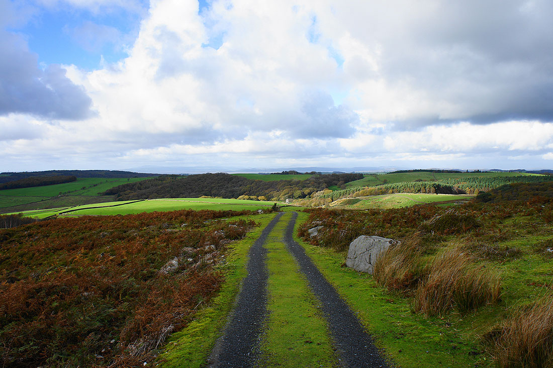
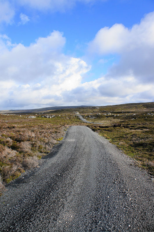
I'm on the shooters track and it didn't take long for the views to expand
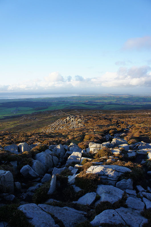
There are some cairns on the hillside above the track and it's worth the short detour to see the view. Across Caton Moor to the Lune valley.
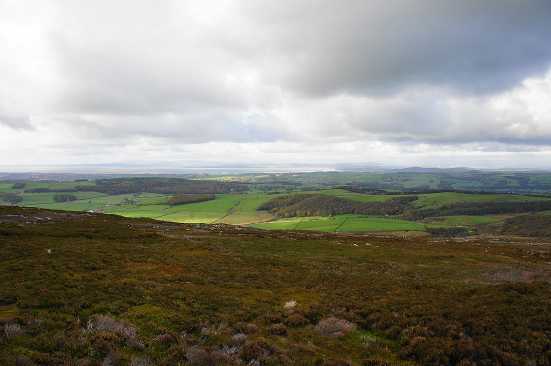
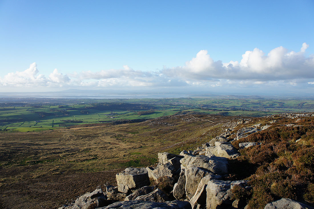
Morecambe Bay in the distance
I can't help turning round every few steps
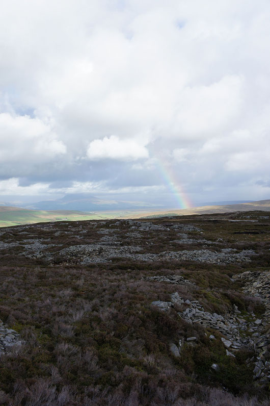
It looks like the weather isn't so great to the northeast near Ingleborough
Onwards and upwards
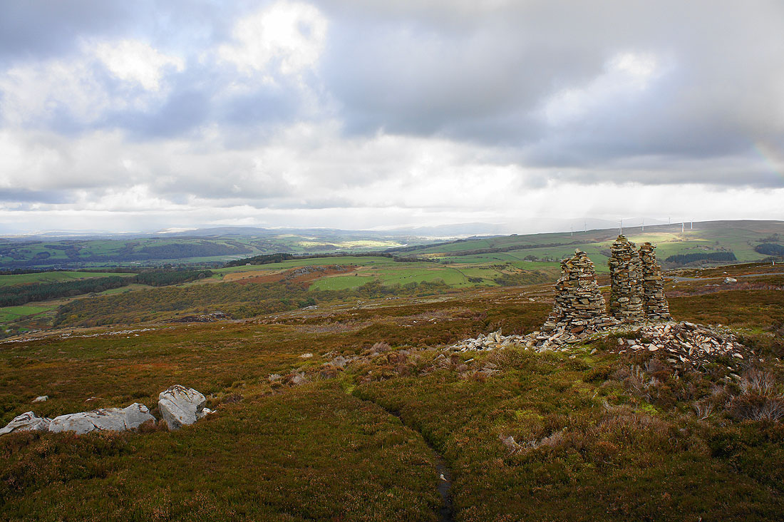
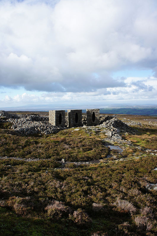
The Andy Goldsworthy "art in the countryside" installations on Clougha. They're on the hillside above the track.
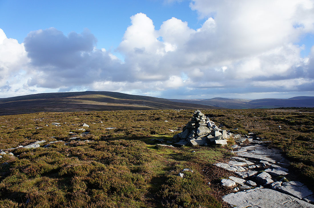
Ward's Stone from the summit of Grit Fell
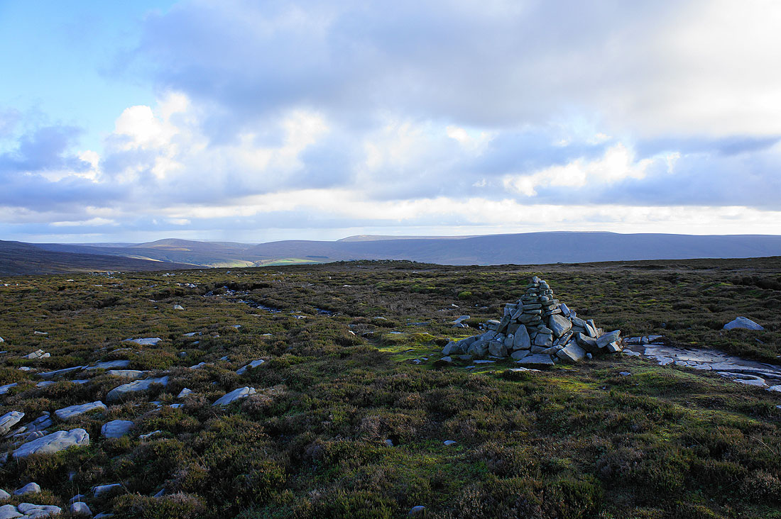
and looking towards the Trough of Bowland and Hawthornthwaite Fell
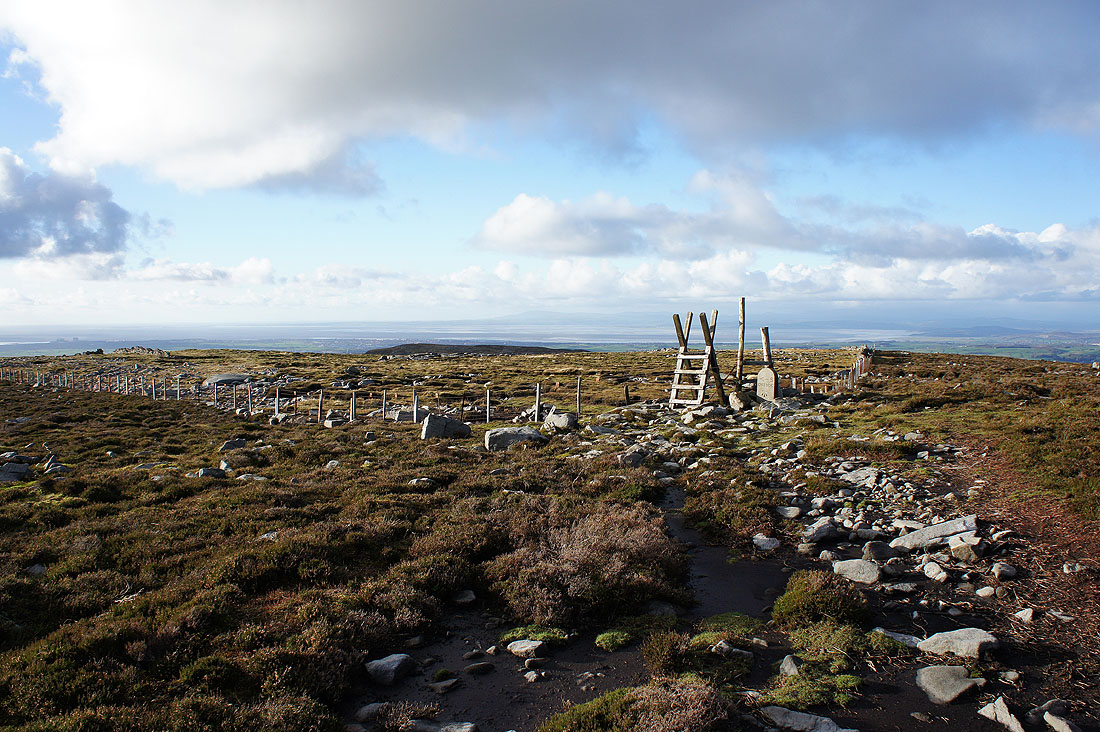
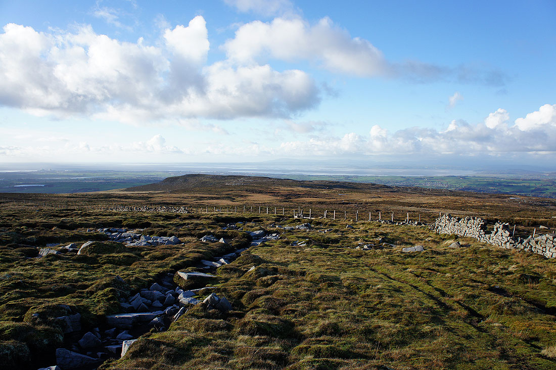
The view ahead as I make my way from Grit Fell to Clougha Pike is hard to beat..
On the summit of Clougha Pike. A fantastic view in all directions. To the northwest is Morecambe Bay and the Lake District fells.
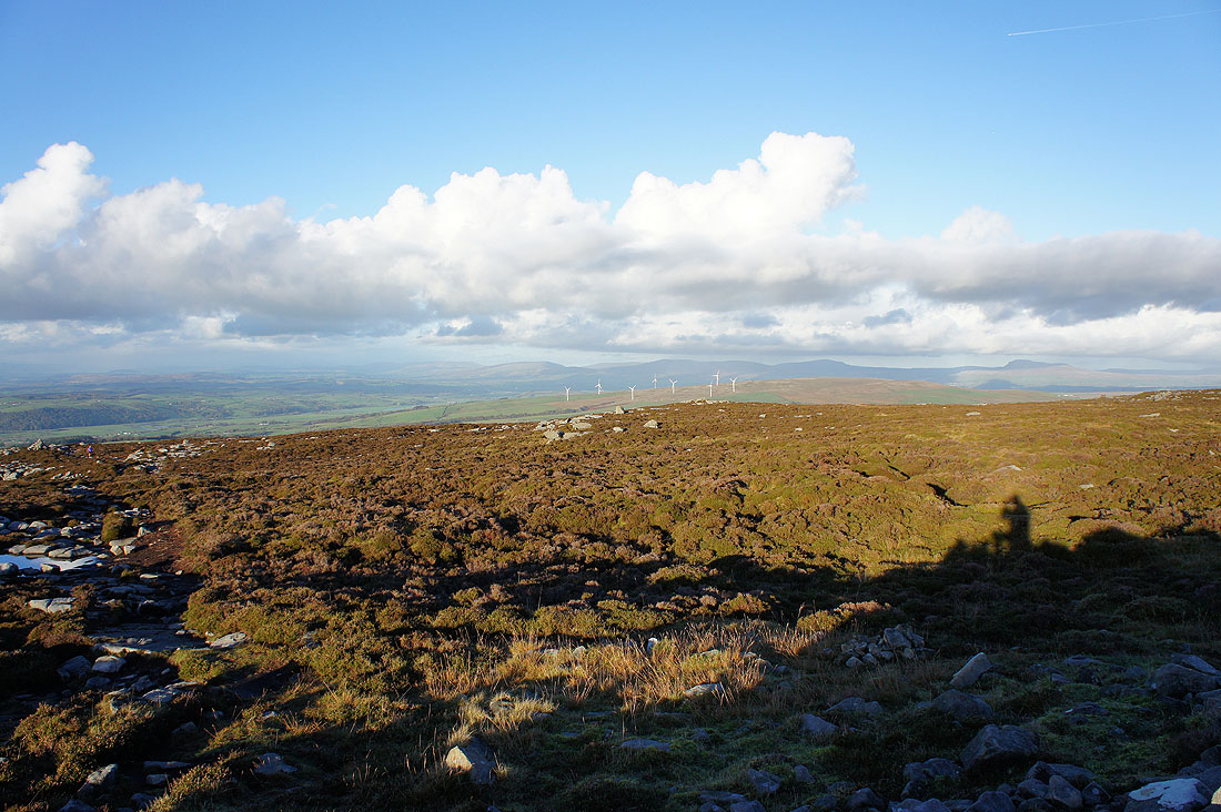
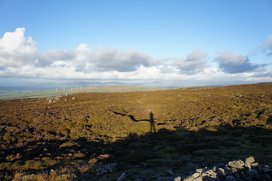
To the north and northeast are the hills of the Yorkshire Dales..
..with Ingleborough being the easiest to spot. My shadow is pointing towards it.
Wyresdale and the Fylde coast to the southwest
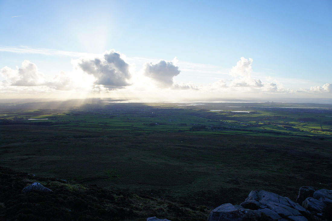
The estuary of the River Lune to the west
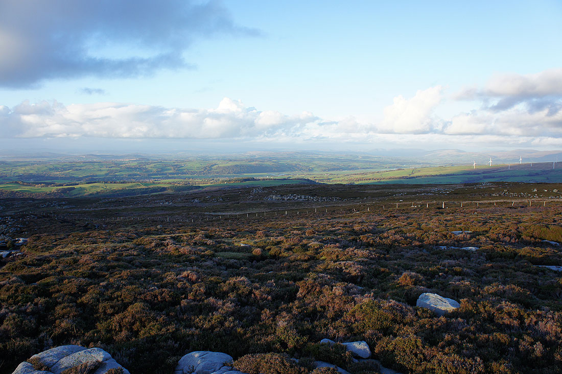
The valley of the River Lune runs across the middle of the picture as it flows down from its source in the Howgills
Making my way down Clougha Scar
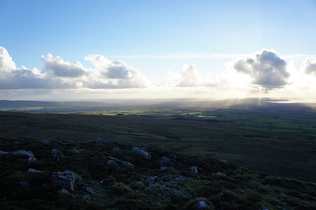
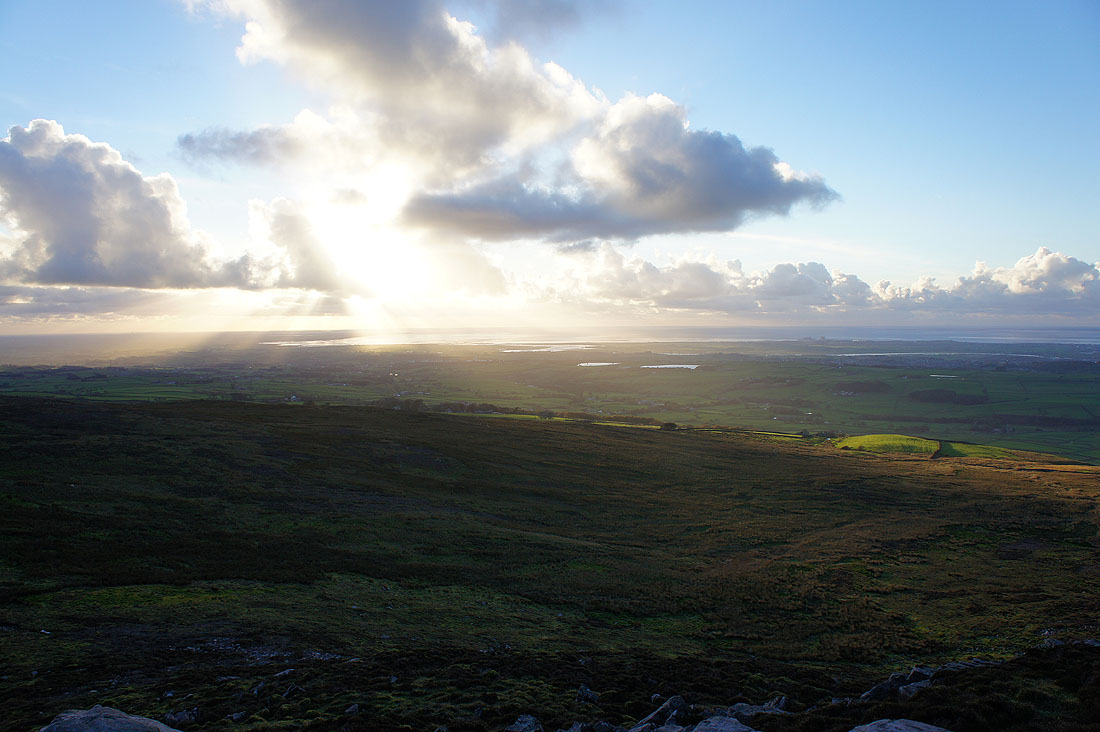
The sun sets over the Lune estuary
A walk through the woods below will take me back to the car park
