3rd November 2023 - Mill Gill Force and Thornton Rust Moor
Walk Details
Distance walked: 10.4 miles
Total ascent: 1509 ft
OS map used: OL30 - Yorkshire Dales, Northern & Central areas
Time taken: 6 hrs
Route description: Bainbridge-Yore Bridge-Grange-Mill Gill-Whitfield Gill-Low Straights Lane-Moor Road-Askrigg-Silver Street-Worton Bridge-Worton-Worton Scar-Thornton Road-Thornton Rust-Thornton Rust Moor-Carpley Green Road-Blean Lane-Bainbridge
It's my Friday off work so I've decided to head to Bainbridge in Wensleydale and do a walk that would take in Mill Gill Force and Whitfield Force, two waterfalls that are in the same wooded ravine above nearby Askrigg. I've visited these waterfalls twice before, and both times were in autumn, which was deliberate so that I could take them in with the autumn colours of their woodland setting. Unlike the previous two occasions I worked out a different route. Instead of starting from Askrigg, and then climbing up to Ellerkin Scar after visiting the two waterfalls; I started from Bainbridge, visited Askrigg after the two waterfalls, then crossed Wensleydale to Thornton Rust to then cross Thornton Rust Moor for a return to Bainbridge. I had thought about taking in Addlebrough as well, but there just wasn't the time. It was an enjoyable walk, one that I'll do again, and was done on a fine, crisp autumn day with a mixture of cloud and sunny spells.
From where I parked my car in Bainbridge I left the village by walking north along the road to Yore Bridge. Once across the bridge I took the footpath on the right and followed it up to the line of the disused railway, crossed it, then up to the road at Grange. I crossed the road, took the footpath opposite up through fields to Mill Gill, then followed the footpath up Mill Gill to visit Mill Gill Force. From Mill Gill Force I retraced my steps and left Mill Gill to head uphill to Whitfield Gill and Whitfield Gill Force, and after visiting that waterfall I retraced my steps to a footbridge over the gill, and took a footpath up the other side of Whitfield Gill to the top of Low Straights Lane, where I stopped for lunch on a conveniently placed bench. After this break I walked down Low Straights Lane until I'd crossed the ford on Askrigg Beck, then took a footpath on the right down through fields to reach Askrigg Beck again, and from there a footpath east to reach Moor Road in Askrigg. I then walked down through Askrigg until I reached Silver Street, then along Silver Street to its end and briefly onto a track, from where I took a footpath southeast across fields to Worton Bridge, which I crossed to walk along the road through Worton to the A684. From Worton I crossed the A684 and followed a footpath up through fields to Worton Scar and Thornton Road, which I walked east along to the village of Thornton Rust. A track leaves Thornton Rust opposite the village hall and I walked up this to its end at a car park, crossed the ford over West Beck, then took the track opposite and the bridleway across Thornton Rust Moor to the top of Carpley Green Road. A walk down Carpley Green Road and Blean Lane brought me to a footpath on the left, which I used to reach the A684 just outside Bainbridge, and from there I walked back into Bainbridge to where I'd parked my car.
Route map
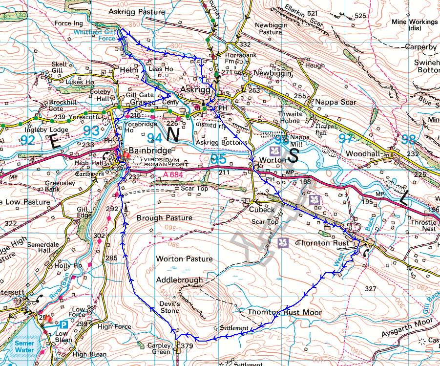
© Crown copyright. All rights reserved. License number PU 100034184.
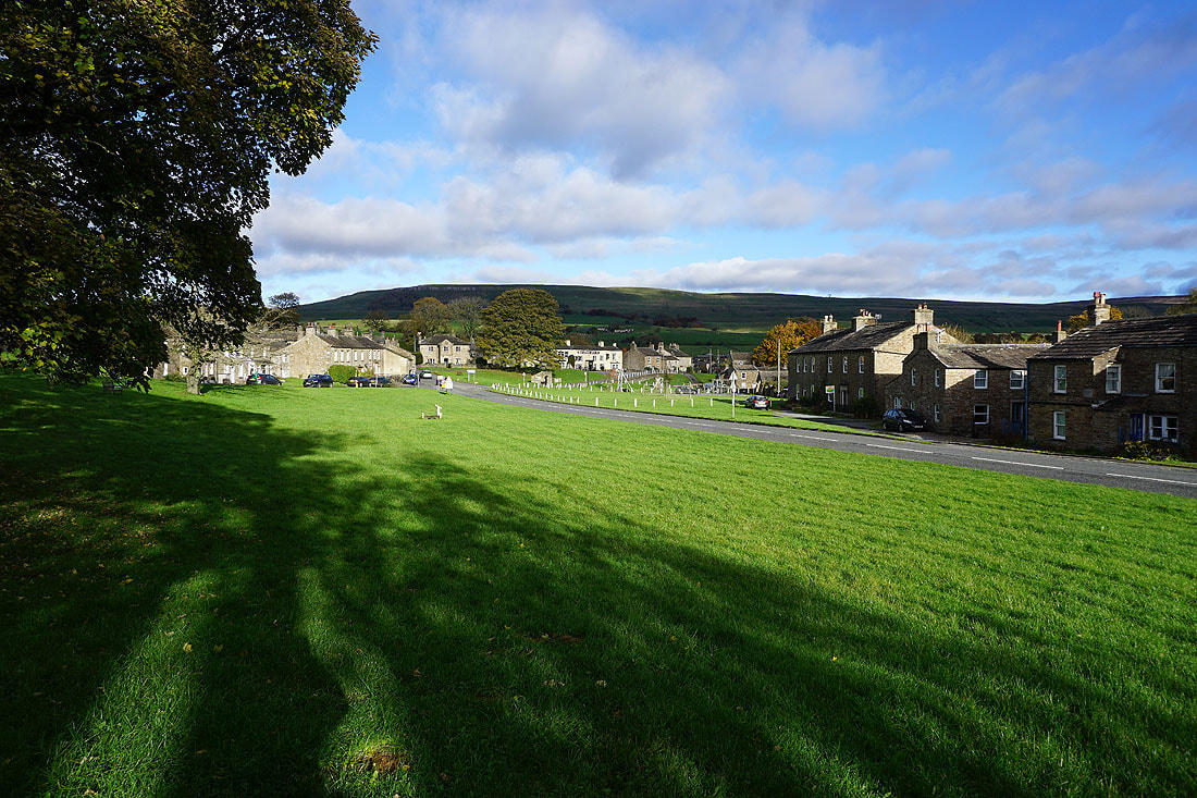
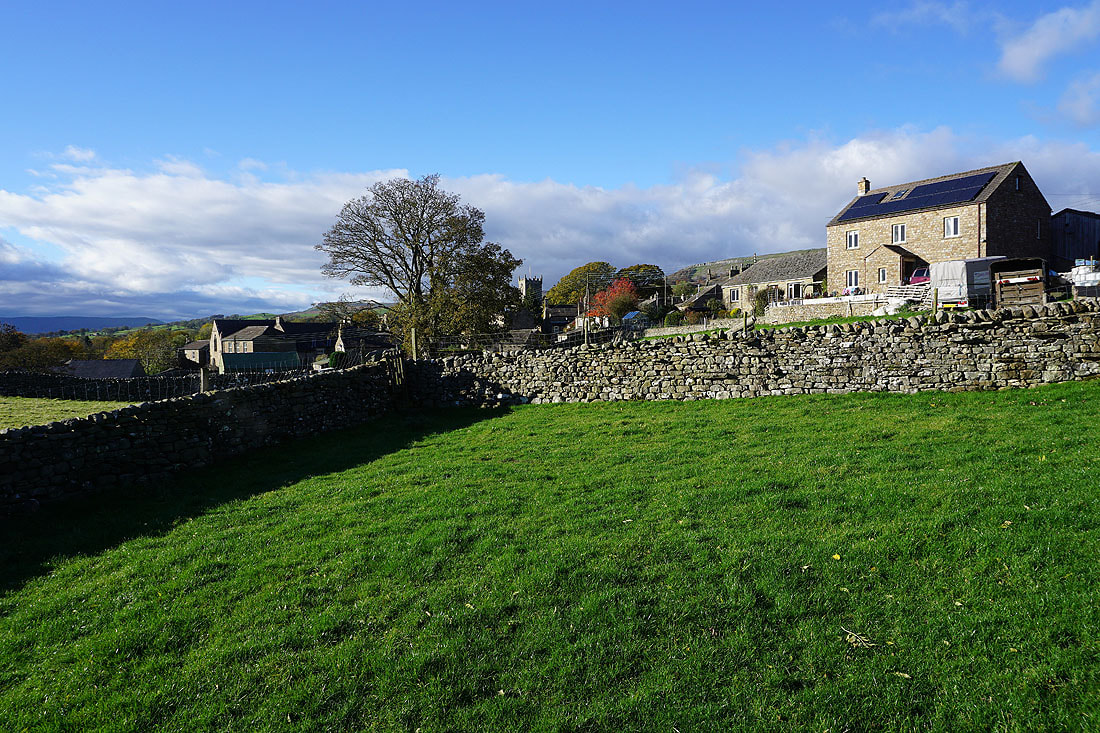
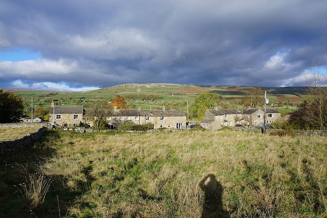
It's a fine autumn morning in Bainbridge

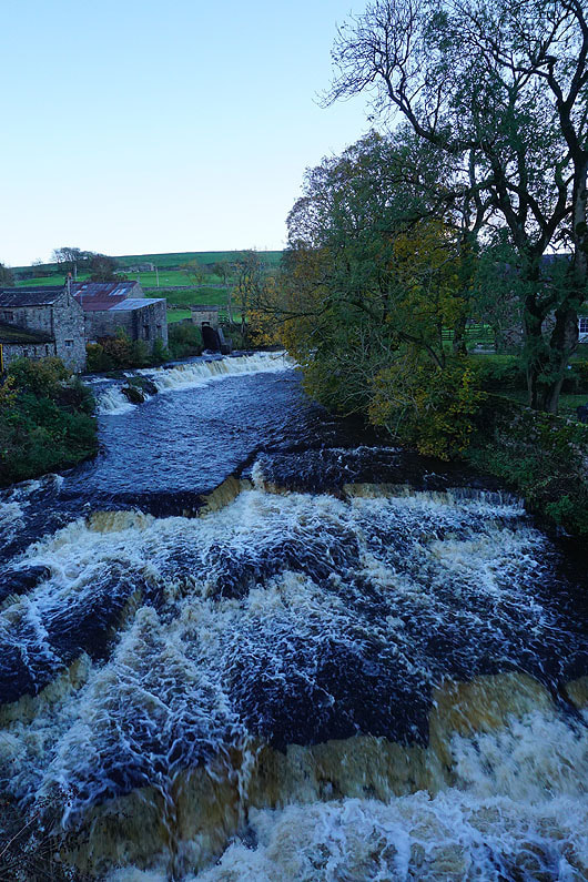
The River Ure from Yore Bridge
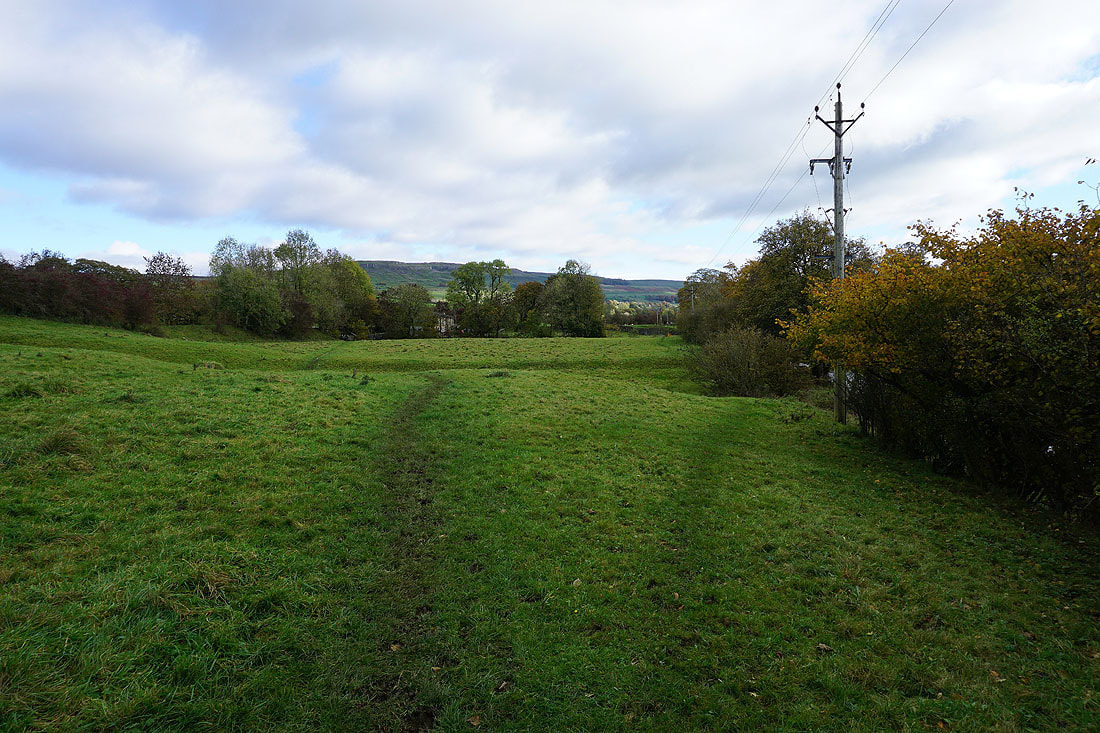
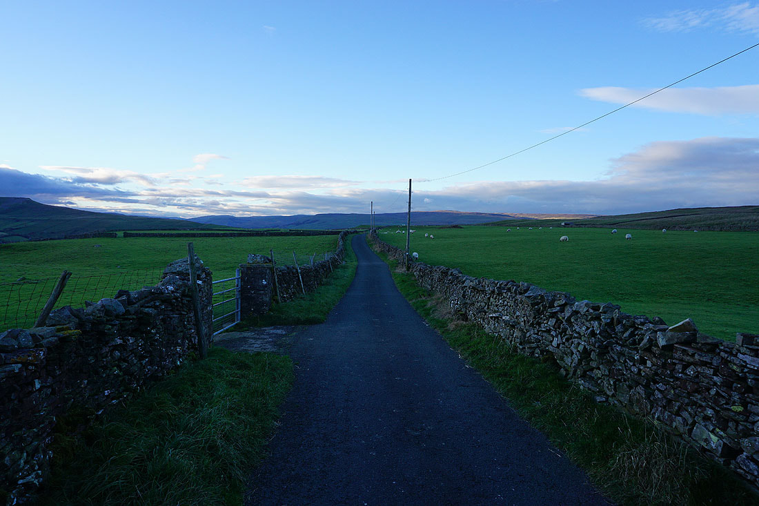
From Yore Bridge I follow a footpath east up to the road to Askrigg
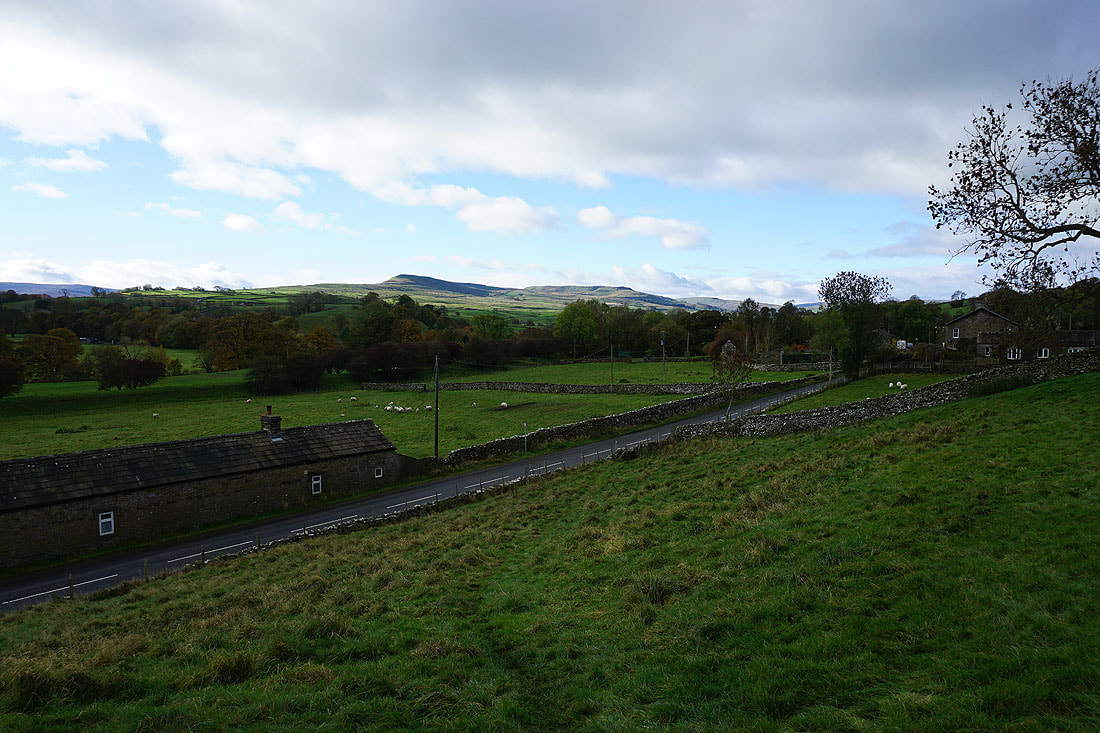
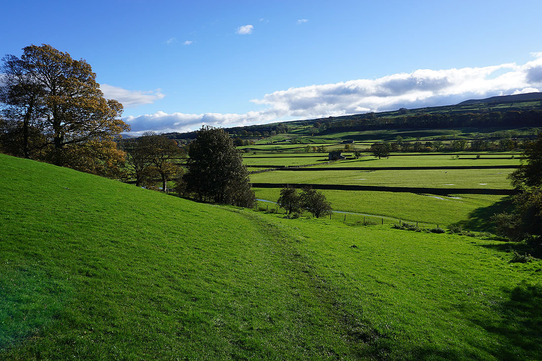
Having crossed the road to Askrigg, looking back to Bainbridge High Pasture and Burtersett High Pasture on the other side of Wensleydale
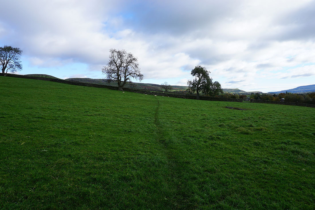
Following the footpath across fields to Mill Gill
To my right, a view down Wensleydale to Penhill

Into Mill Gill. No problems with locating the path to Mill Gill Force.
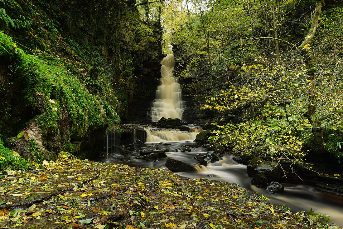
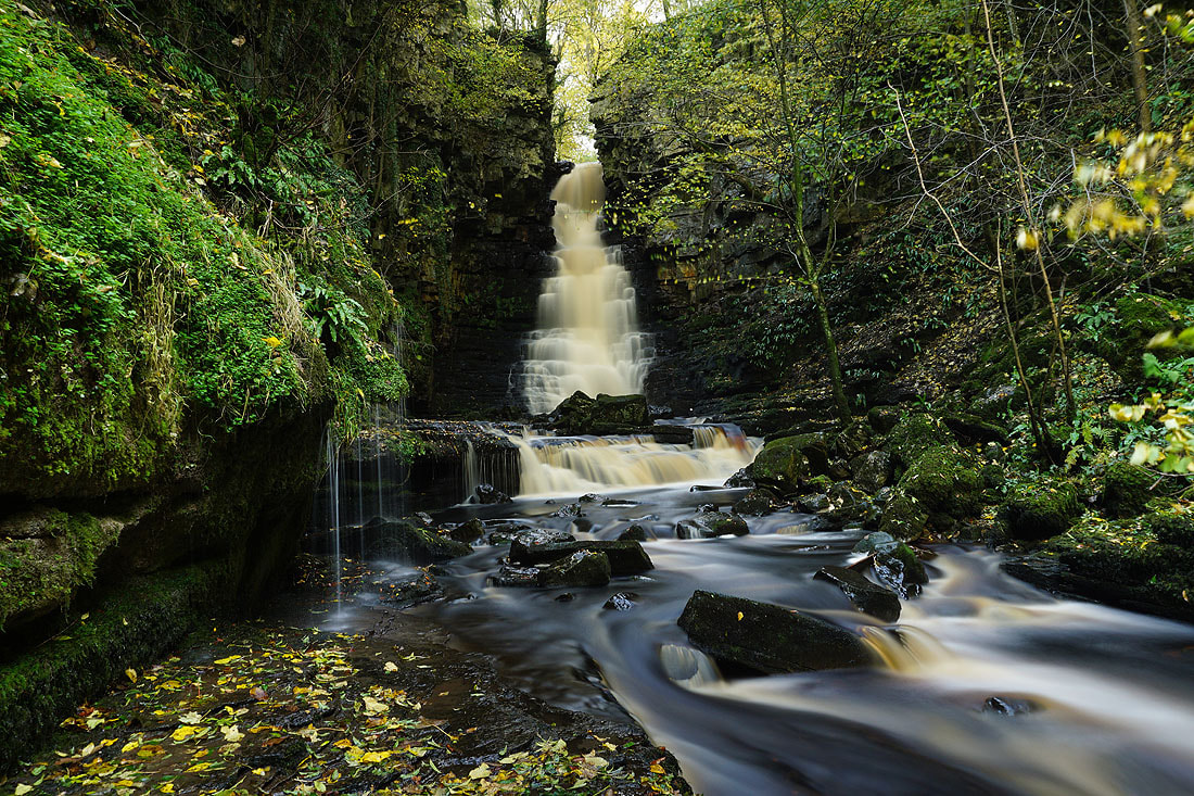
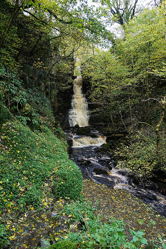
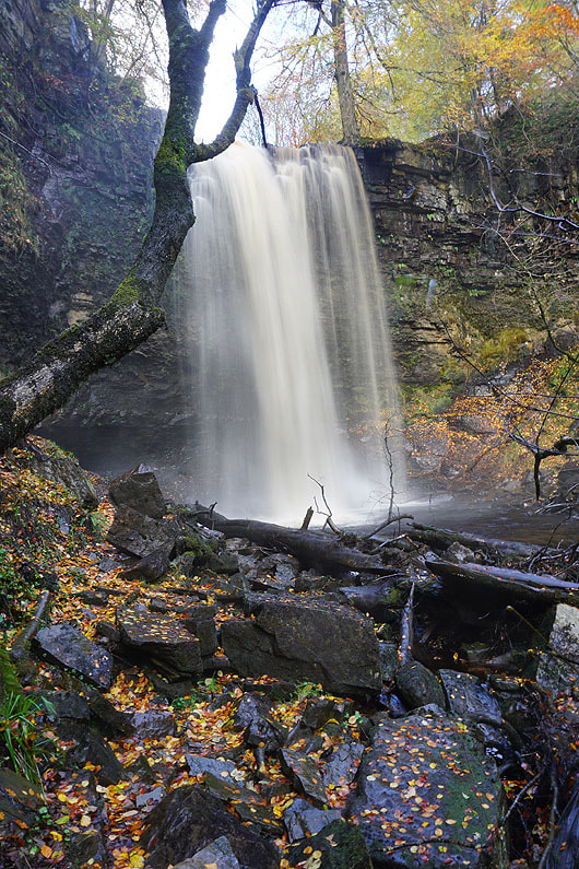
A couple of photos of Mill Gill Force, from the first spot that I set my camera and tripod up at..
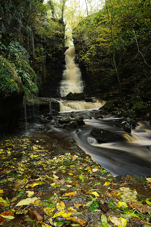

Now a bit closer. It has a great setting in a wooded ravine, especially at this time of year with the colours of autumn...

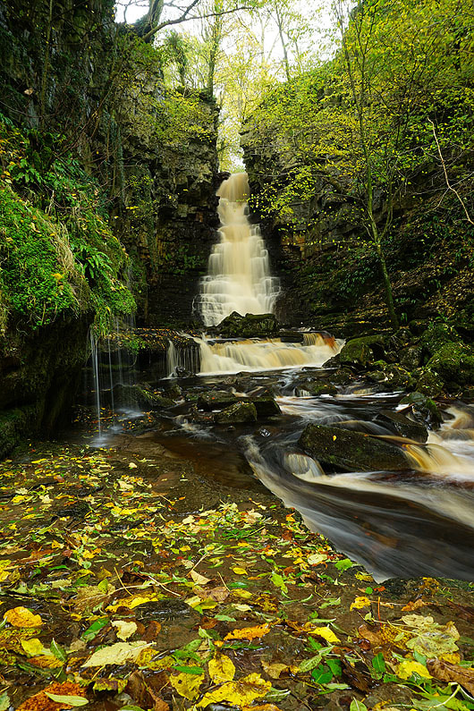
I think taking a photo in portrait is the best way aspect
|
One last shot as I head back up the path
|
Whitfield Scar and Helm above as I follow the footpath up to Whitfield Gill
At the waterfall of Whitfield Gill Force. It was not easy to get to where I'm stood.
Heading back down Whitfield Gill
|

A small waterfall just below the footbridge across the gill
|
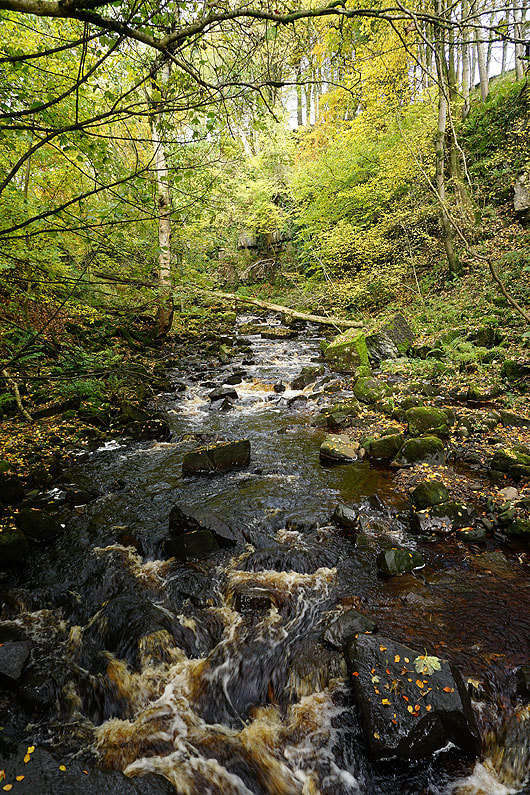
Looking up Whitfield Gill from the footbridge
|
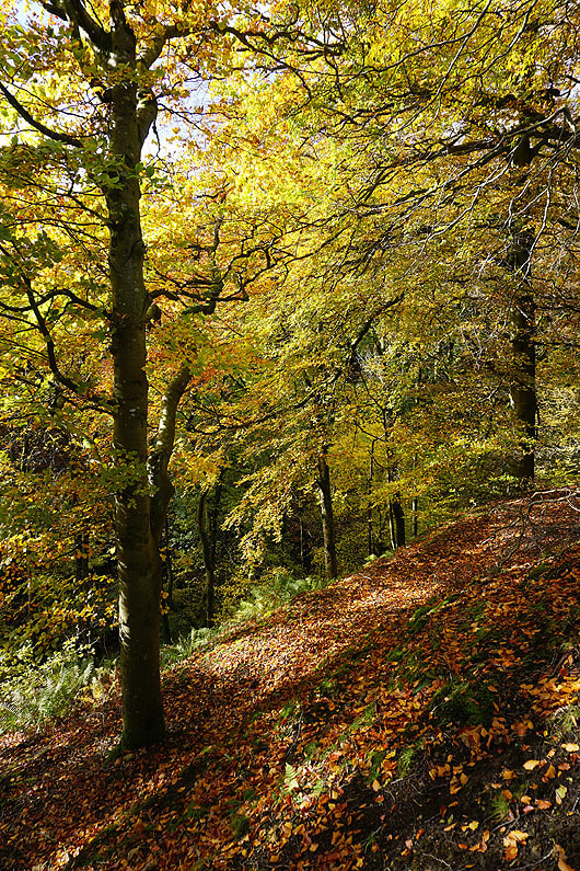
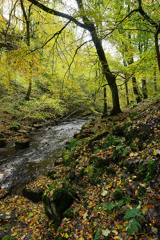
Great autumn colours in the woods of Whitfield Gill from the footpath up to Low Straights Lane
|
Heading down Low Straights Lane
Looking back up to Whitfield Scar and the woodland of Whitfield Gill
and across Wensleydale to Addlebrough, Bainbridge, and Wether Fell..
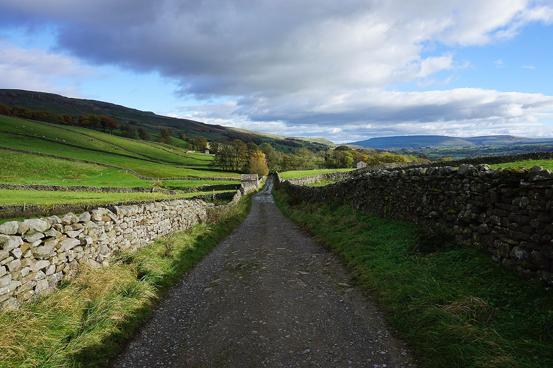
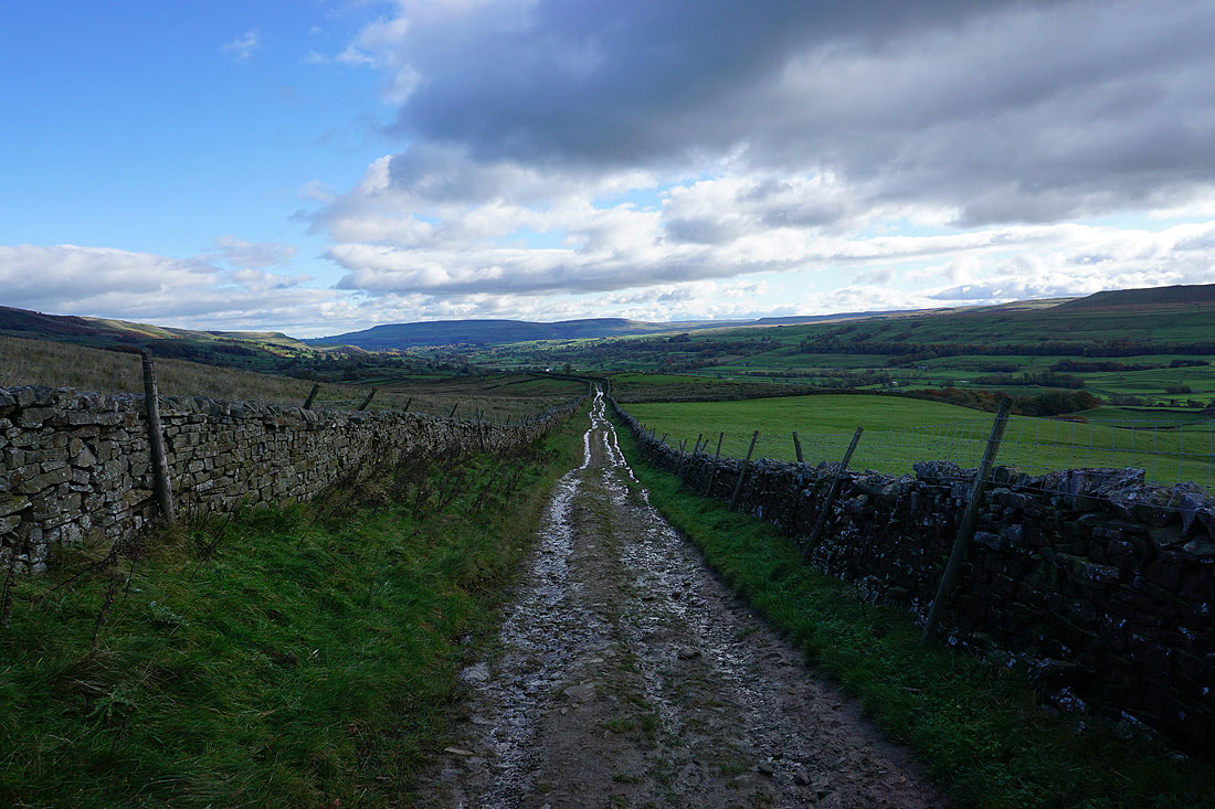
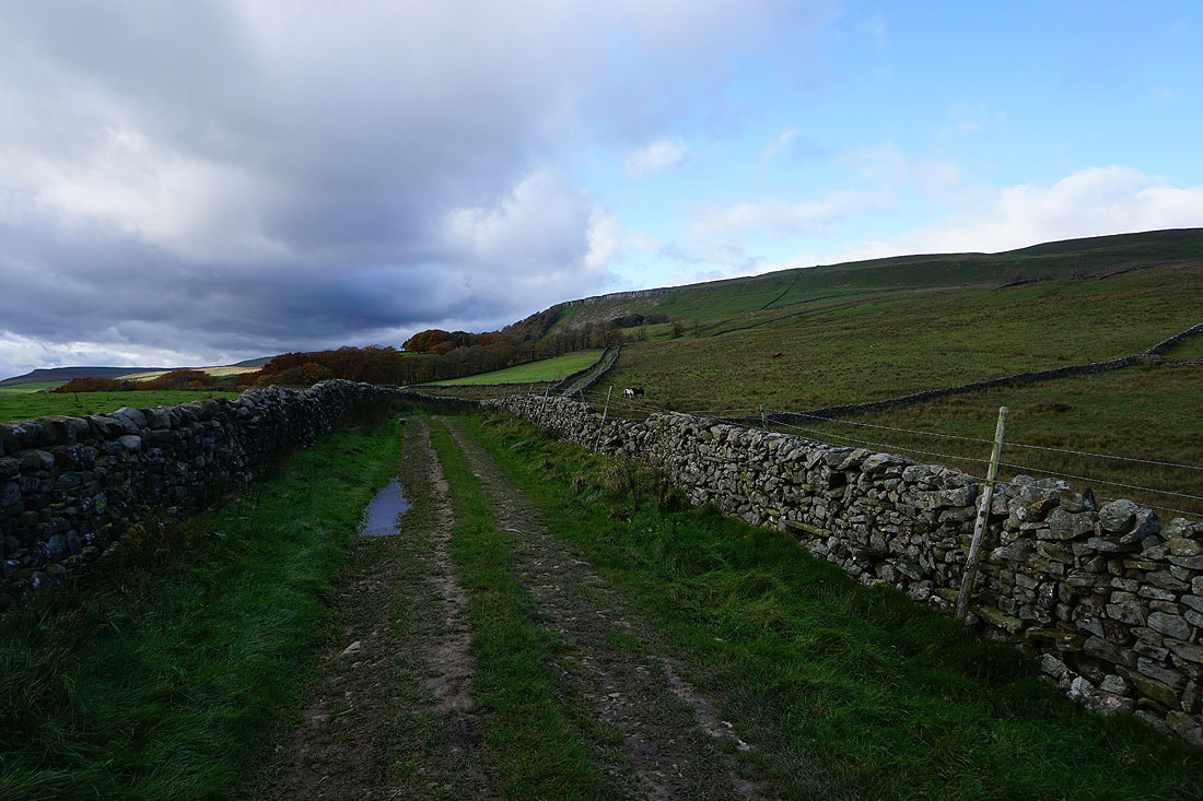
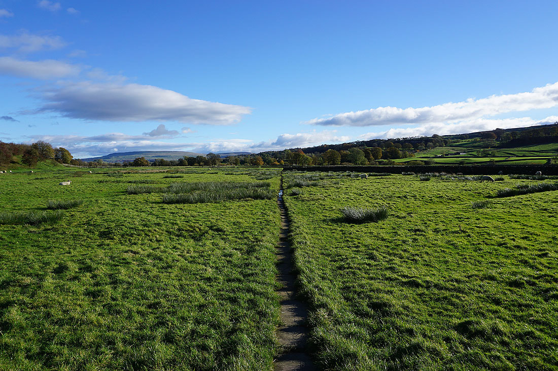
Nearing the bottom of Low Straights Lane and I'll take a footpath on the right after crossing the ford on Askrigg Beck
Addlebrough on the other side of Wensleydale as I follow the footpath down to Askrigg
Ellerkin Scar above the roofs of Askrigg..
..and Addlebrough on the other side of Wensleydale
Leaving Askrigg behind
From Askrigg I follow the footpath to Worton Bridge..

Looking back to Askrigg with Whitfield Scar above as I reach Worton Bridge
and up to Ellerkin Scar

The River Ure from Worton Bridge

In the hamlet of Worton
Great views across Wensleydale as I take the footpath from Worton up to Worton Scar..

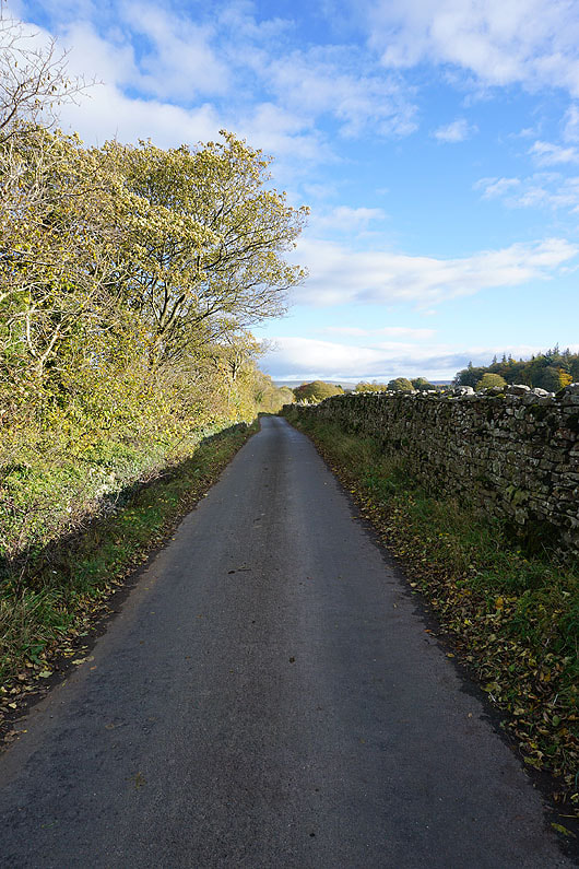
On the road to Thornton Rust
|
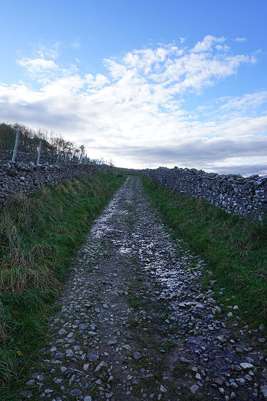
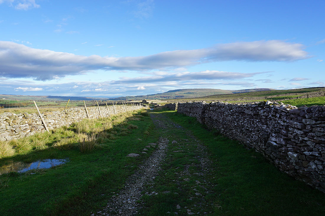
Leaving Thornton Rust on the bridleway to Carpley Green
|

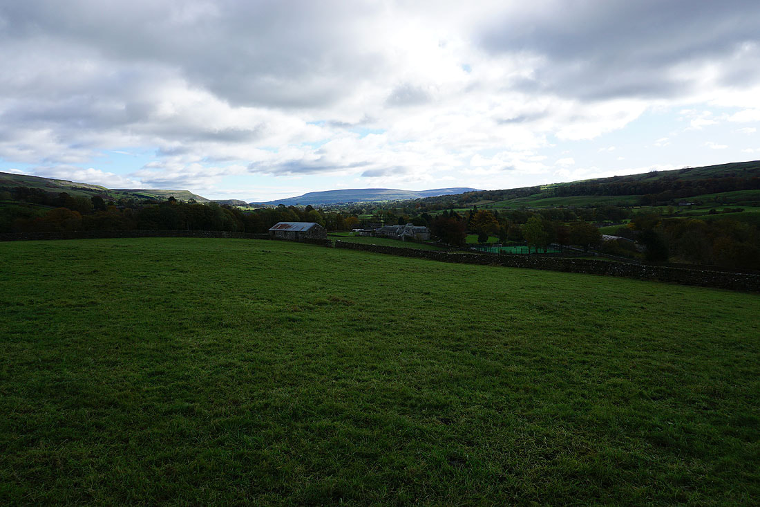
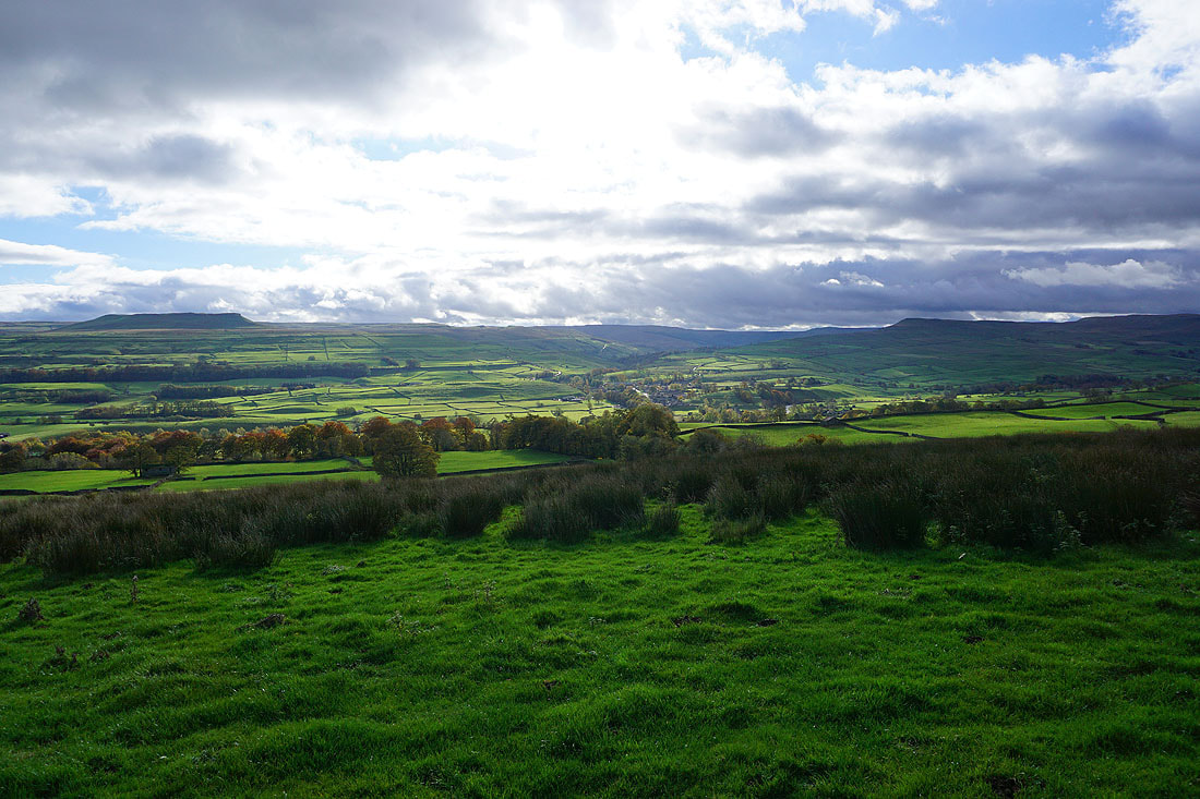
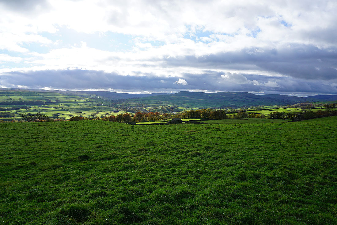
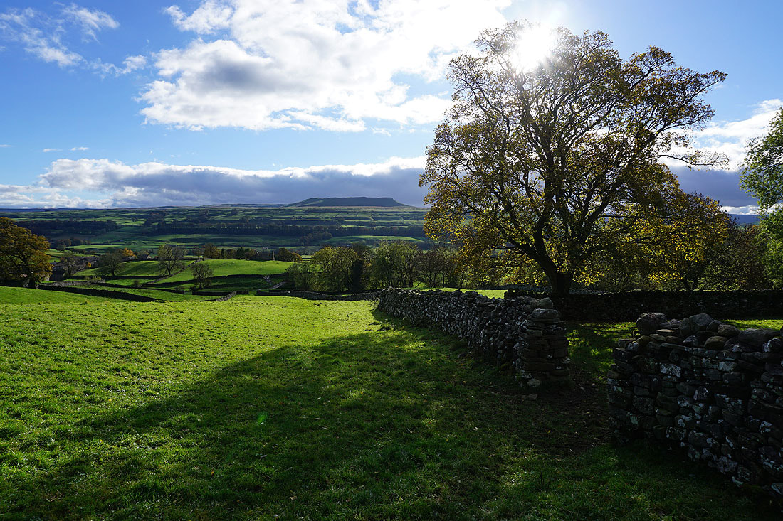
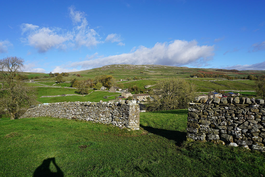
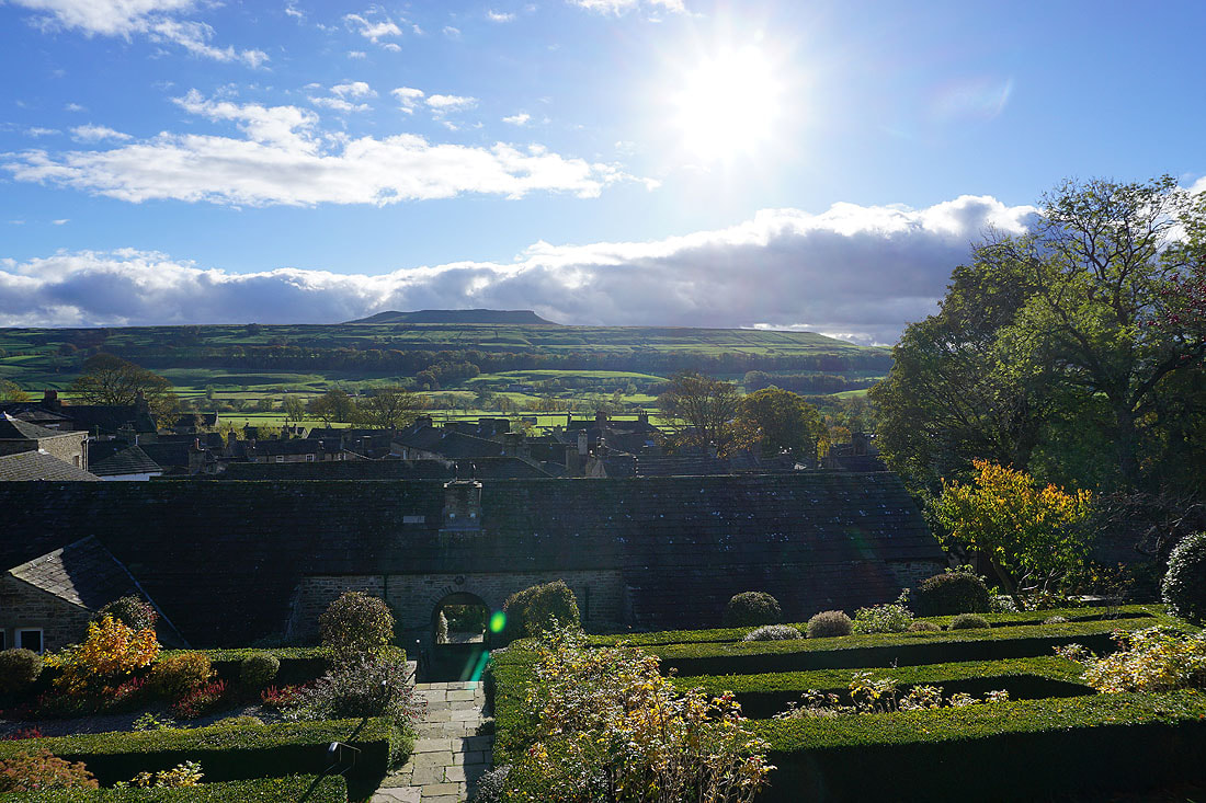
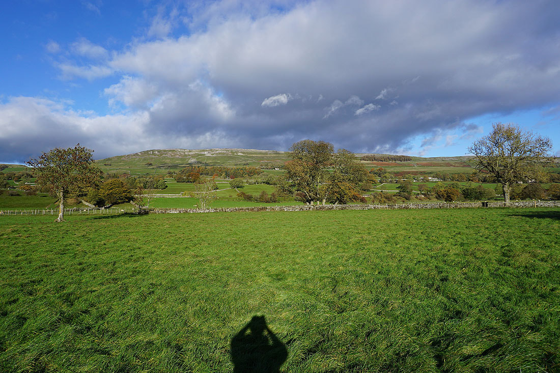
Looking across Wensleydale and the roofs of Thornton Rust to Carperby Moor and Ivy Scar

and down Wensleydale towards Leyburn
Following the bridleway up onto Thornton Rust Moor and the top of Addlebrough appears ahead
Looking back to Penhill in the distance
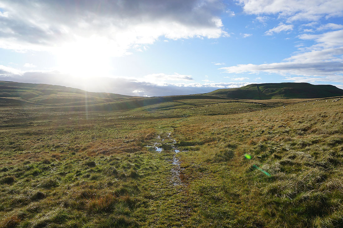
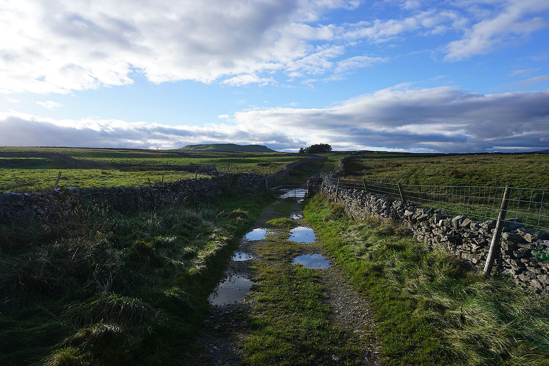
Crossing Thornton Rust Moor
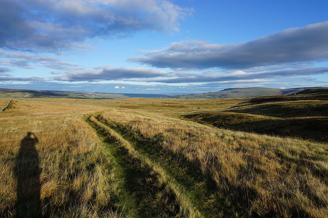
Looking back across Thornton Rust Moor to Wensleydale and Penhill
Following the bridleway down to the top of Carpley Green Road
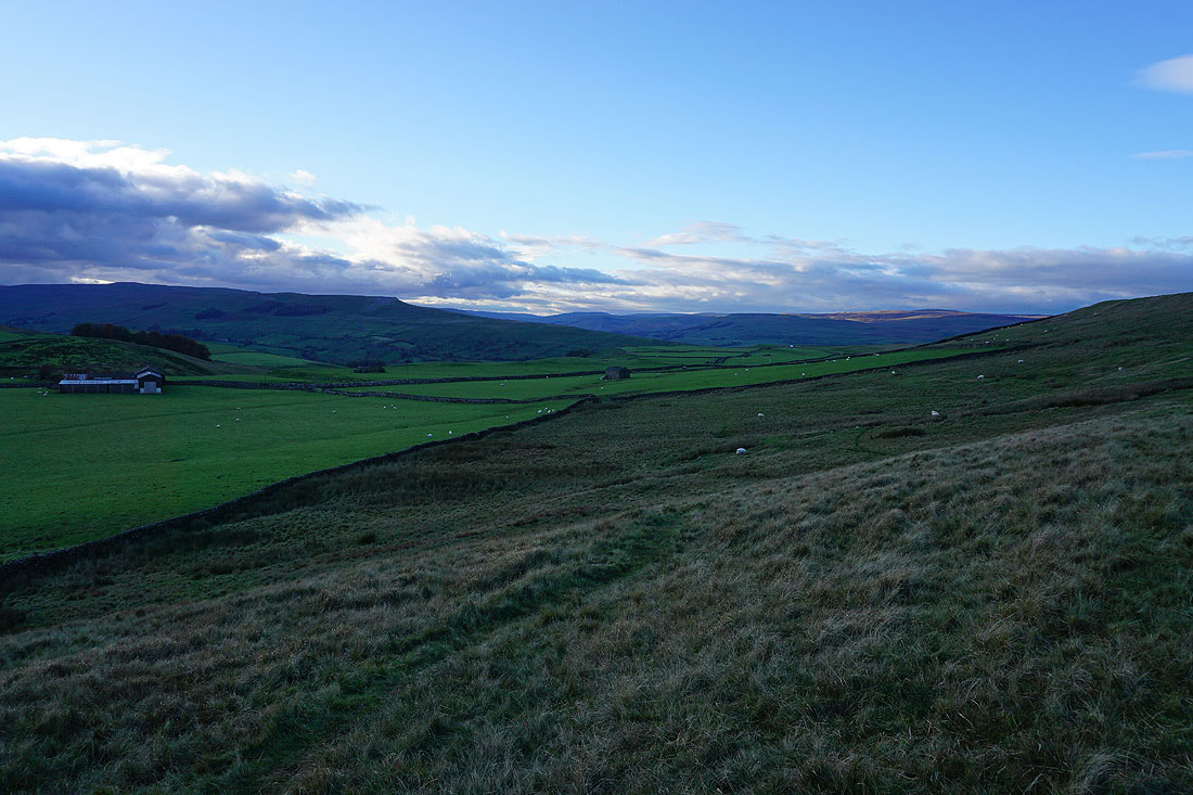
Walking down Carpley Green Road towards Bainbridge
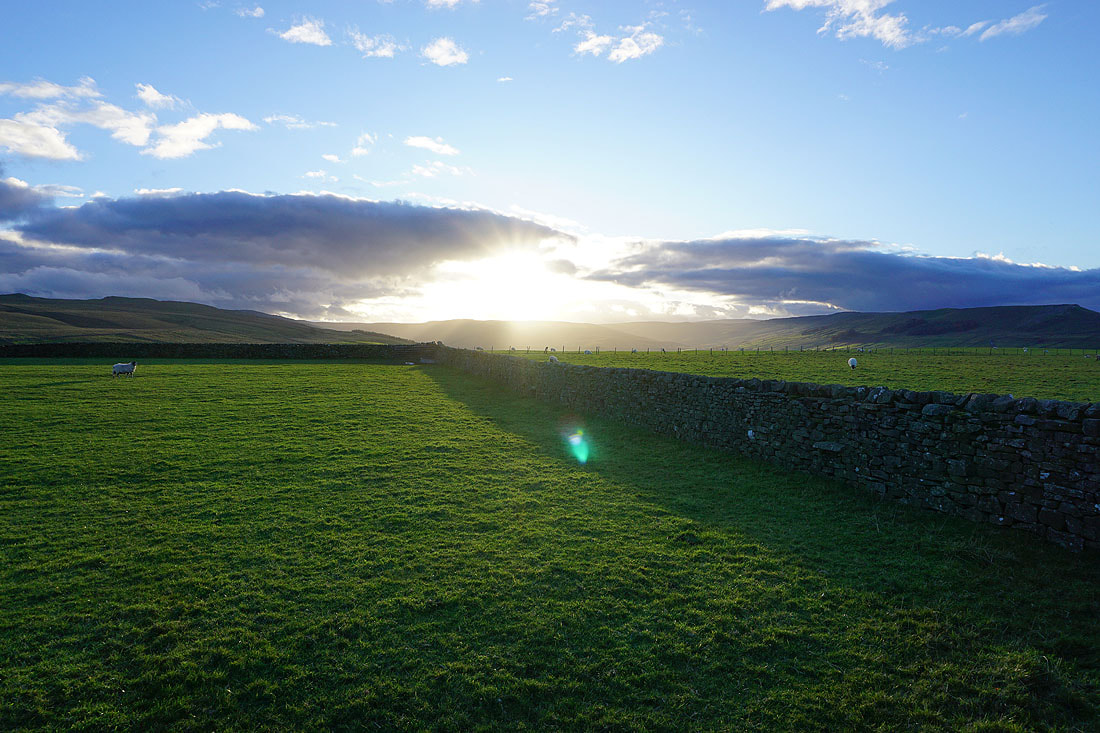
It's a bit closer to sunset than I planned it to be
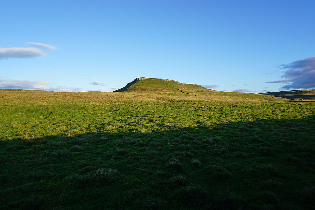
Addlebrough is still in the sunshine

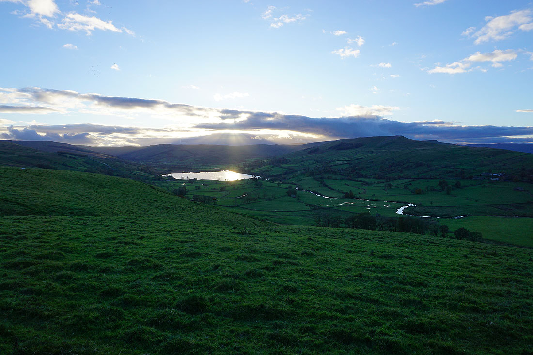
The sun sets over Semer Water and Raydale..

Bainbridge comes into view below as I walk down Blean Lane

The River Bain from the footpath down to Bainbridge
|
and again from the bridge over the river
|