3rd September 2023 - Bowland Knotts and Catlow Fell
Walk Details
Distance walked: 11.3 miles
Total ascent: 1703 ft
OS map used: OL41 - Forest of Bowland & Ribblesdale
Time taken: 6 hrs
Route description: School Lane, Gisburn Forest-New House-Pike Side-Bowland Knotts-Cold Stone-Catlow Fell-Cross of Greet-Lythe Fell Road-Cross of Greet Bridge-Lythe Fell Road-Copped Hill Clough-New House-School Lane, Gisburn Forest
For my second walk of the weekend I decided to head for Gisburn Forest in the Forest of Bowland and do a route that took in Bowland Knotts and Catlow Fell. It's familiar territory, and it was only last August that I did the exact same walk. This corner of the AONB along with the northwestern corner around Clougha Pike are my favourite places in the Forest Bowland. Both have gritstone outcrops and crags to clamber about on, and fantastic views, assuming the weather co-operates. It did today, there were spells of warm early autumn sunshine, good visibility for enjoying the long distance views from the tops of the fells once any mistiness and the bit of low cloud on the hills of the Yorkshire Dales had cleared, and with the heather in bloom some extra colour added to the moors.
After parking in the main car park on School Lane I took the footpath north along the track through the woodland of Gisburn Forest, across Hasgill Beck and up to the barn of New House. From New House I took a footpath up onto the hillside of Pike Side, then a track across Old Moss to reach Keasden Road and Bowland Knotts. After a break for lunch I made my way west along Bowland Knotts to the trig point, then down and up to Cold Stone, and then up onto and across Catlow Fell. When I reached the wall corner and fence junction at Crowd Stones I followed the fence down to the Lythe Fell Road and the Cross of Greet. I then had a long walk down the Lythe Fell Road ahead of me, to the Cross of Greet Bridge, and to the track at the top of Copped Hill Clough. I took this track, and then a footpath down by Copped Hill Clough to a footbridge over the River Hodder, and the path from there up to the barn of New House. I then retraced the steps of my outbound route back to where I was parked.
Route map
© Crown copyright. All rights reserved. License number PU 100034184.

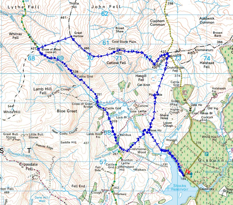
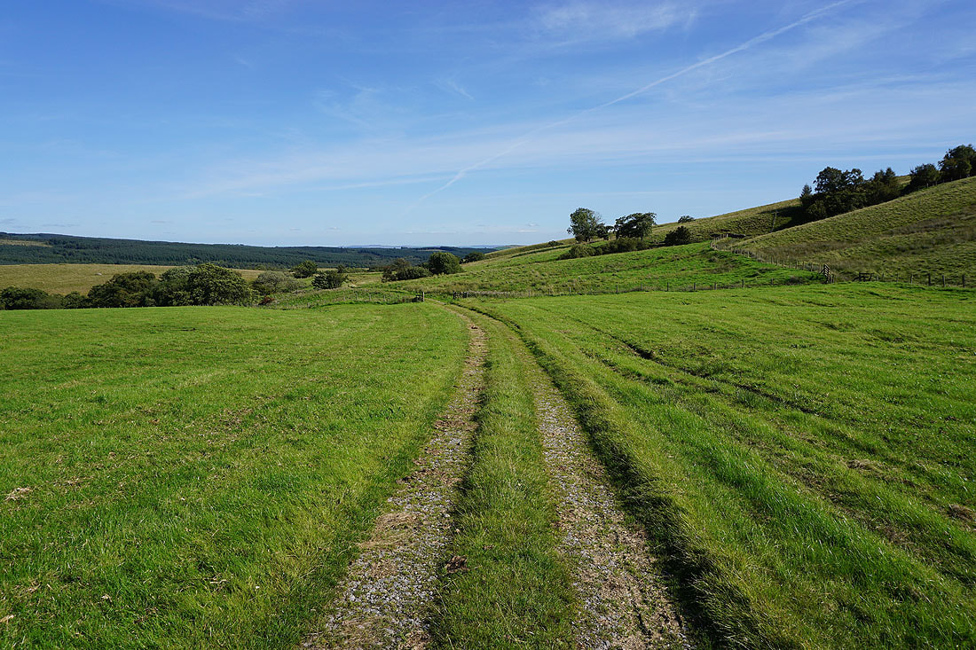
Following the path through the woodland by Stocks Reservoir
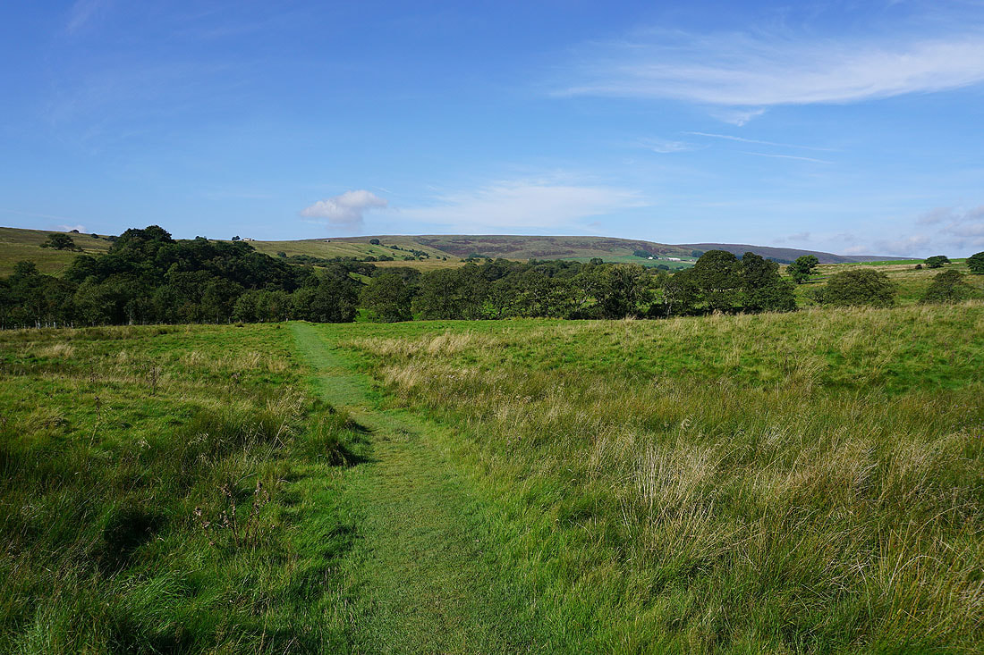
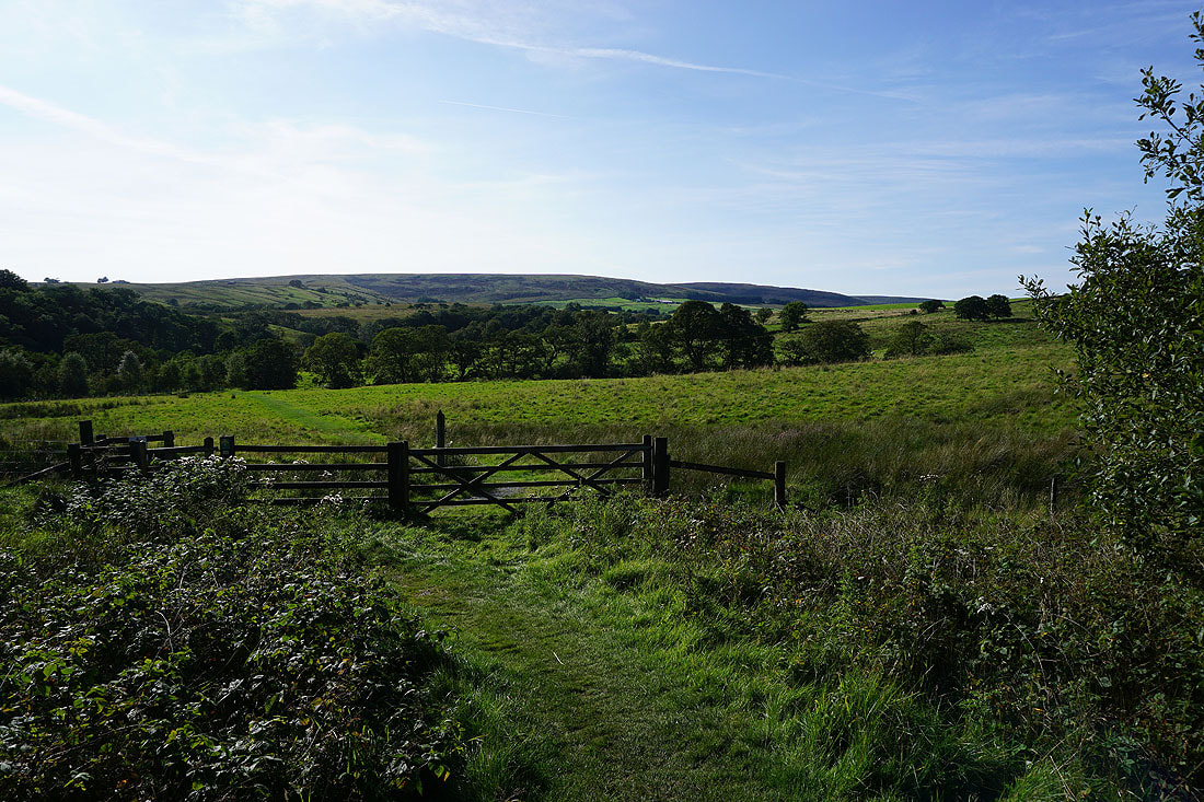
The open countryside beckons as I leave the woodland around Stocks Reservoir behind

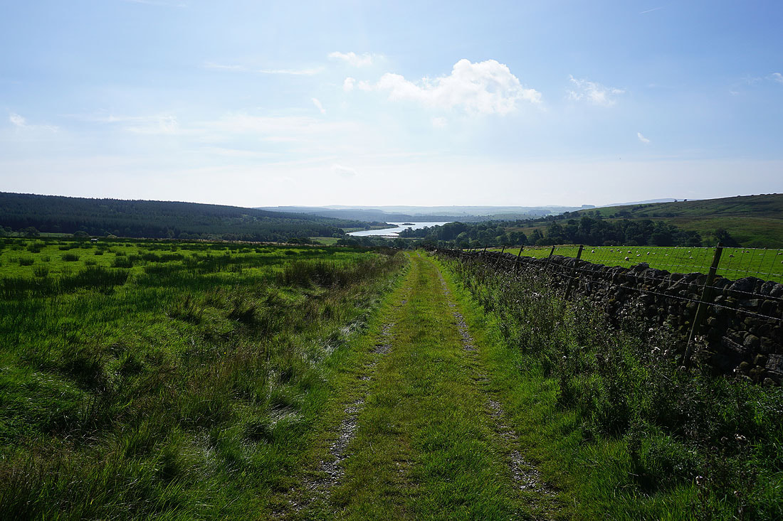
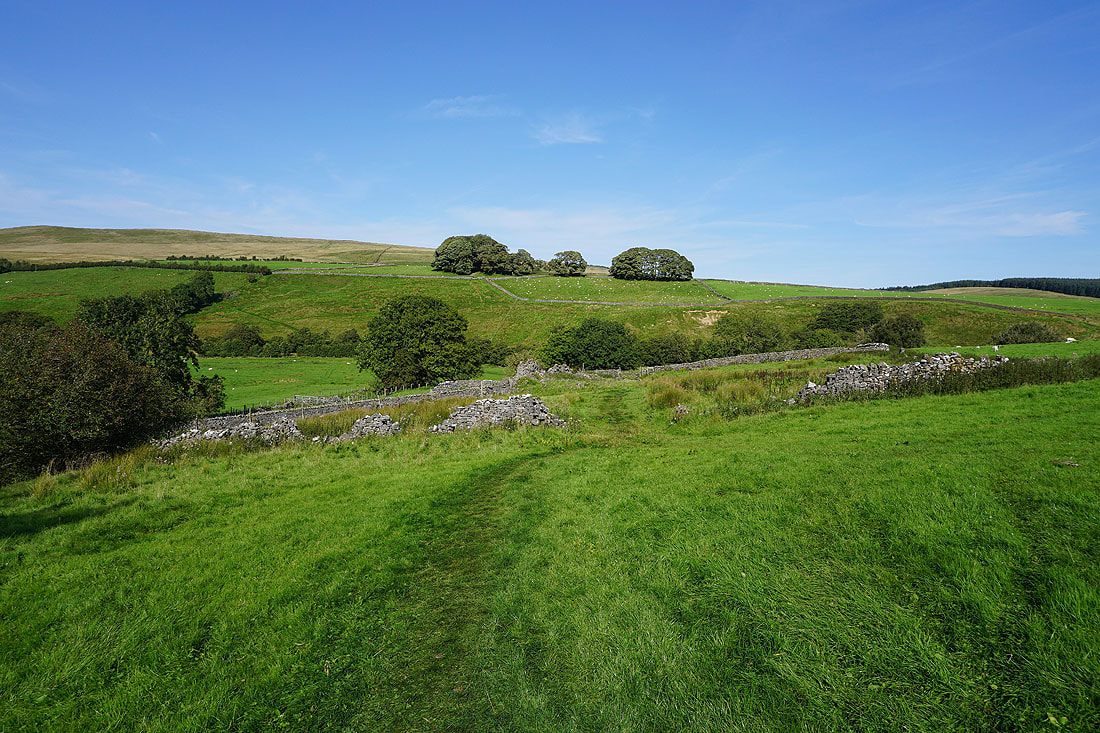
Following the footpath up to New House, with a look back to Stocks Reservoir..
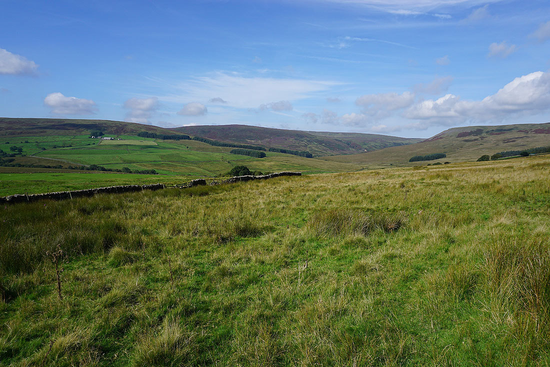
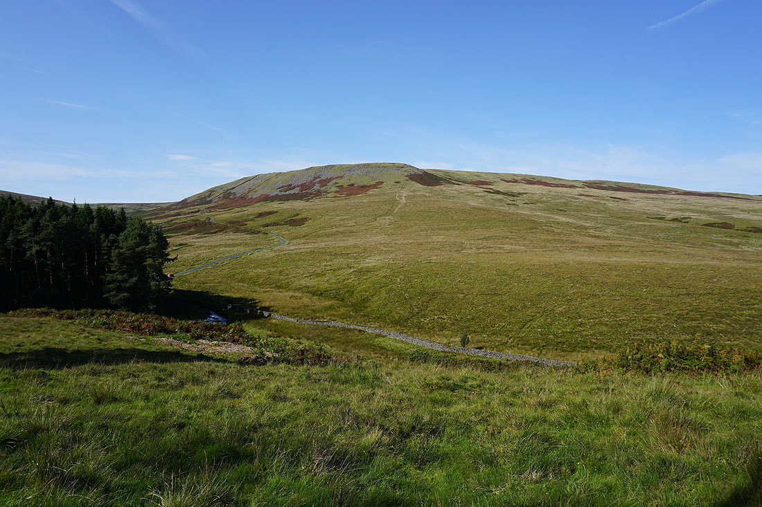
White Hill and Catlow Fell as I head up Pike Side..

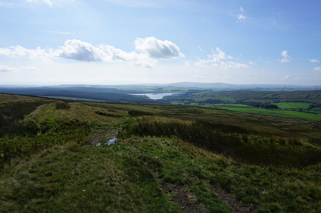
Looking back to Stocks Reservoir as I reach the top of the footpath up Pike Side
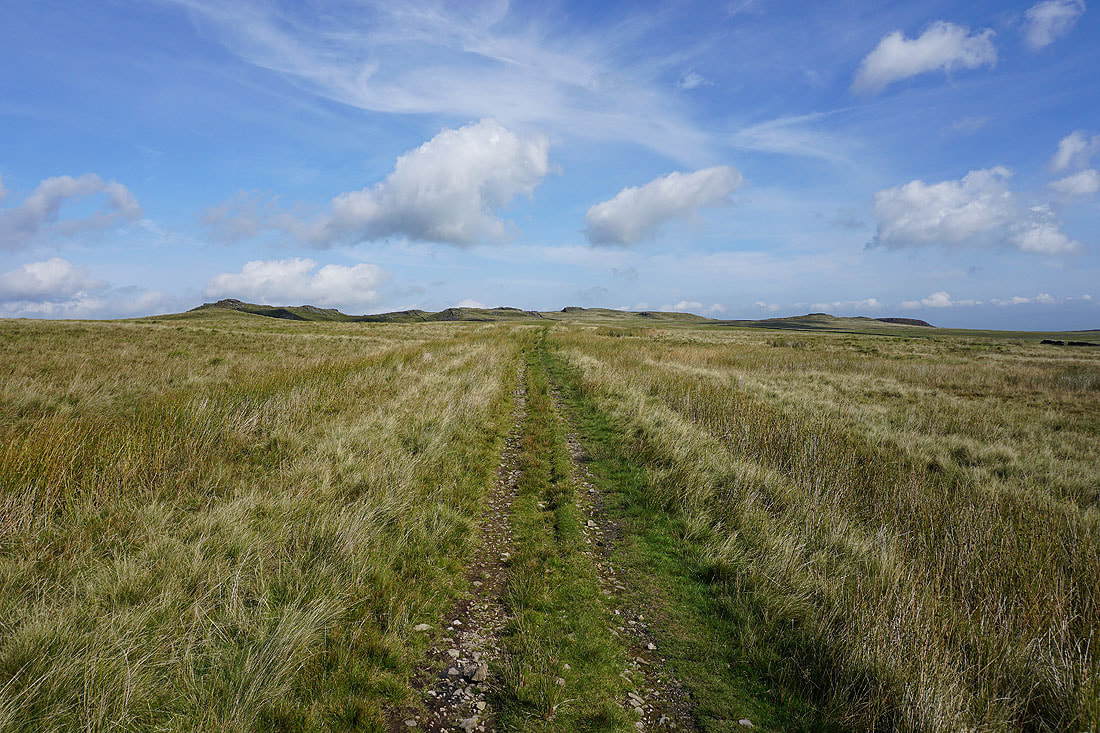
The enticing profile of Bowland Knotts ahead..
Looking across Gisburn Forest to Whelp Stone Crag
and back to the hazy outline of Pendle Hill, and to Easington Fell
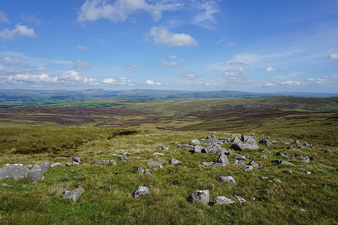
The highest summit of Bowland Knotts, which has a trig point on it, is the one on the left
Couldn't resist taking another photo of the crags with some heather in the foreground
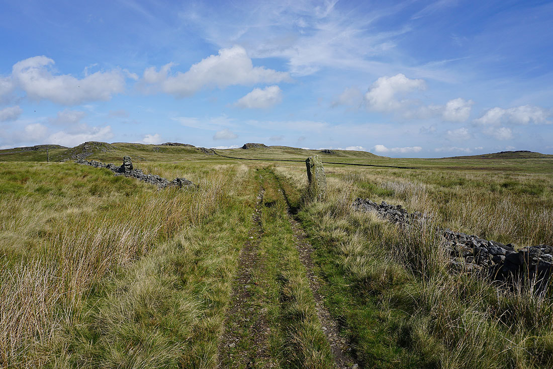
Having reached Keasden Road I climb up onto the rocky outcrops that mark the eastern end of Bowland Knotts. Looking west across Keasden Road to the rest of Bowland Knotts, with White Hill and Catlow Fell in the distance..
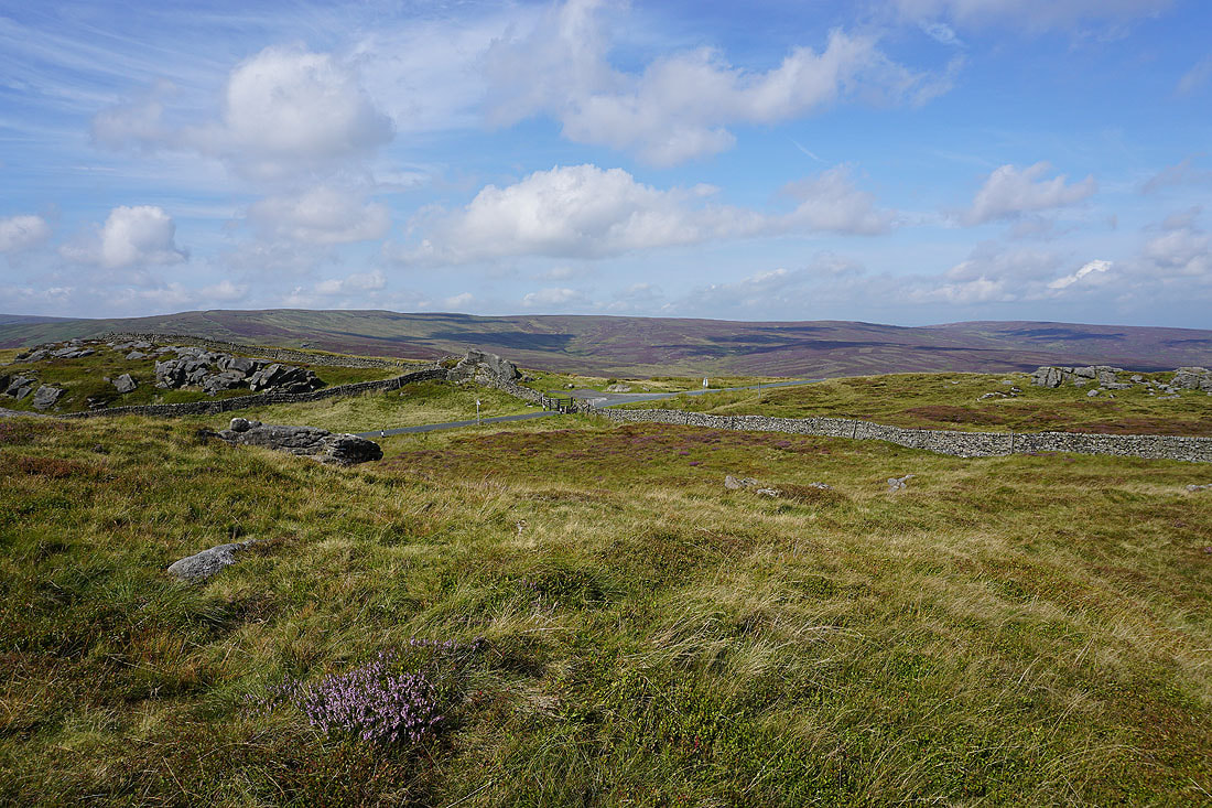
To the northeast are Whernside and Ingleborough, but the murk and low cloud over that way is doing a good job of hiding them
Looking east to Rye Loaf Hill in the distance on the left, with Gisburn Forest and Whelp Stone Crag on the right
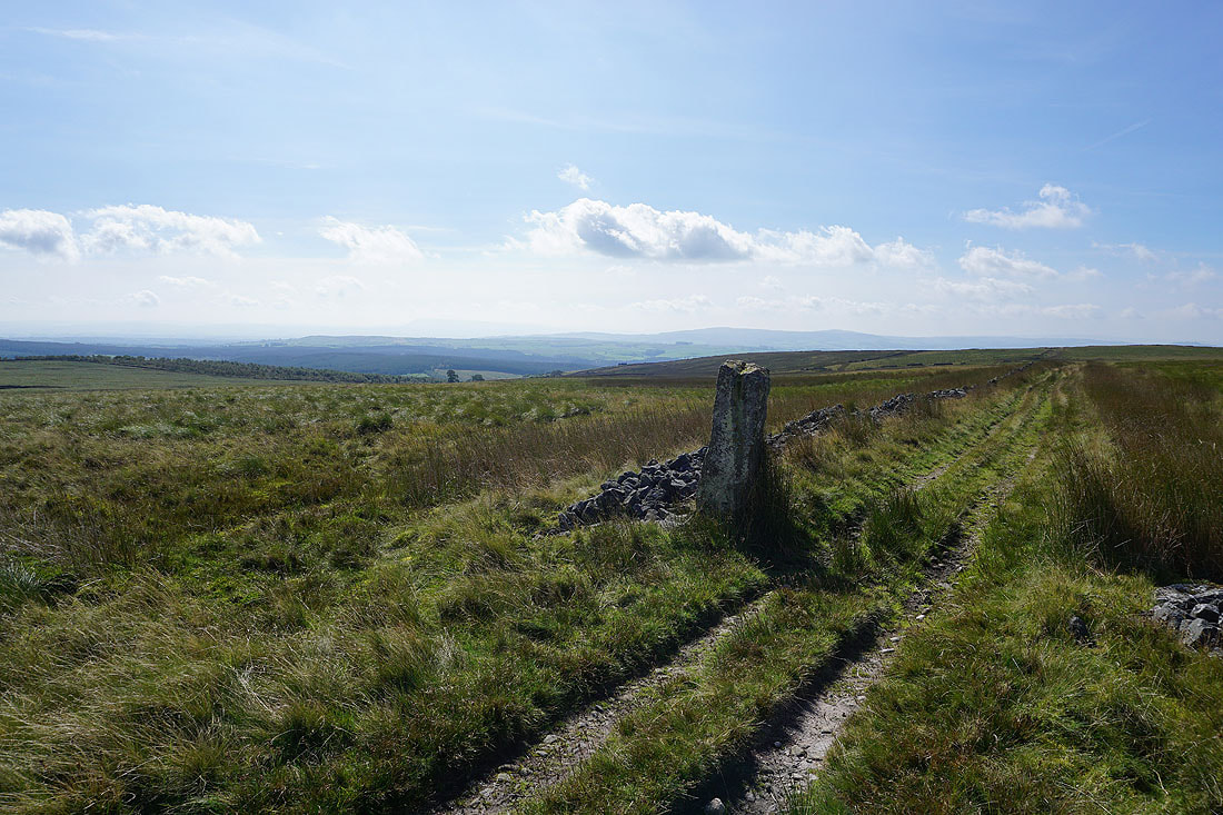
Keasden Road makes its way down to Stocks Reservoir
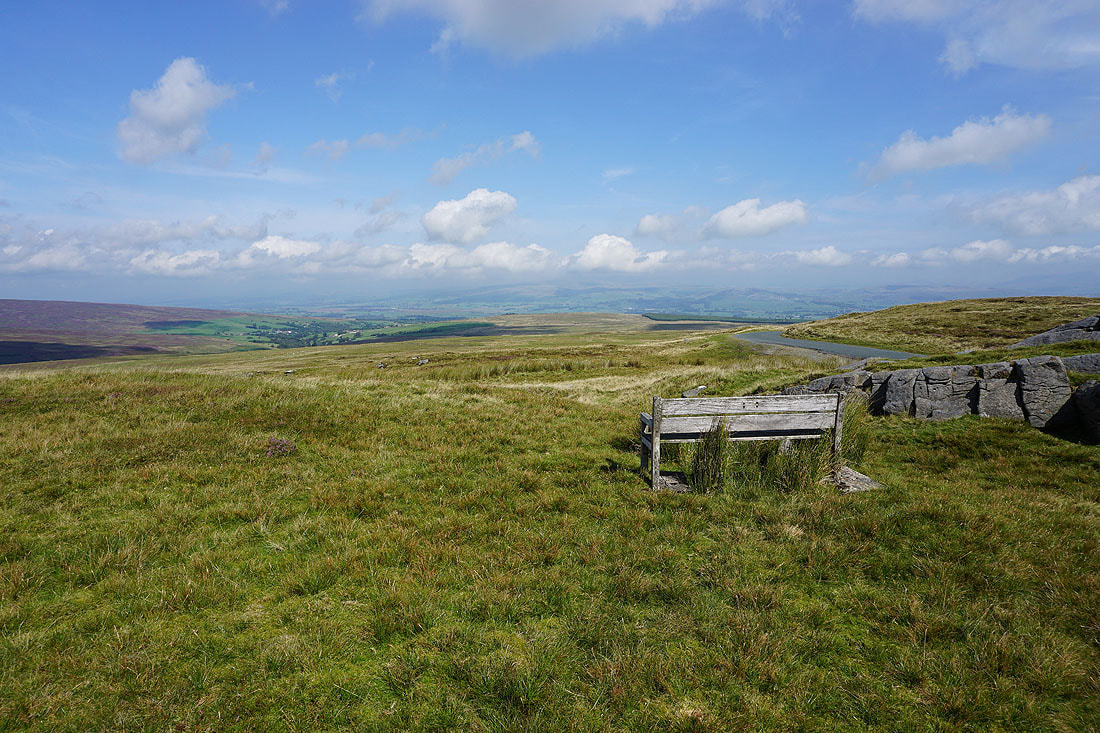
After crossing Keasden Road I pass a bench with a fantastic view
Heading for the Bowland Knotts trig point, which is on top of the rise in the middle
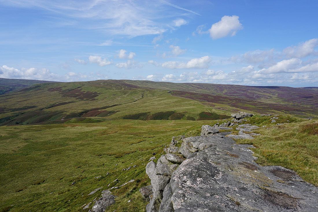
There are lots of boulders and craggy outcrops to pass
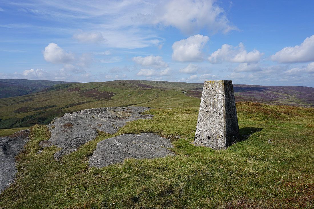
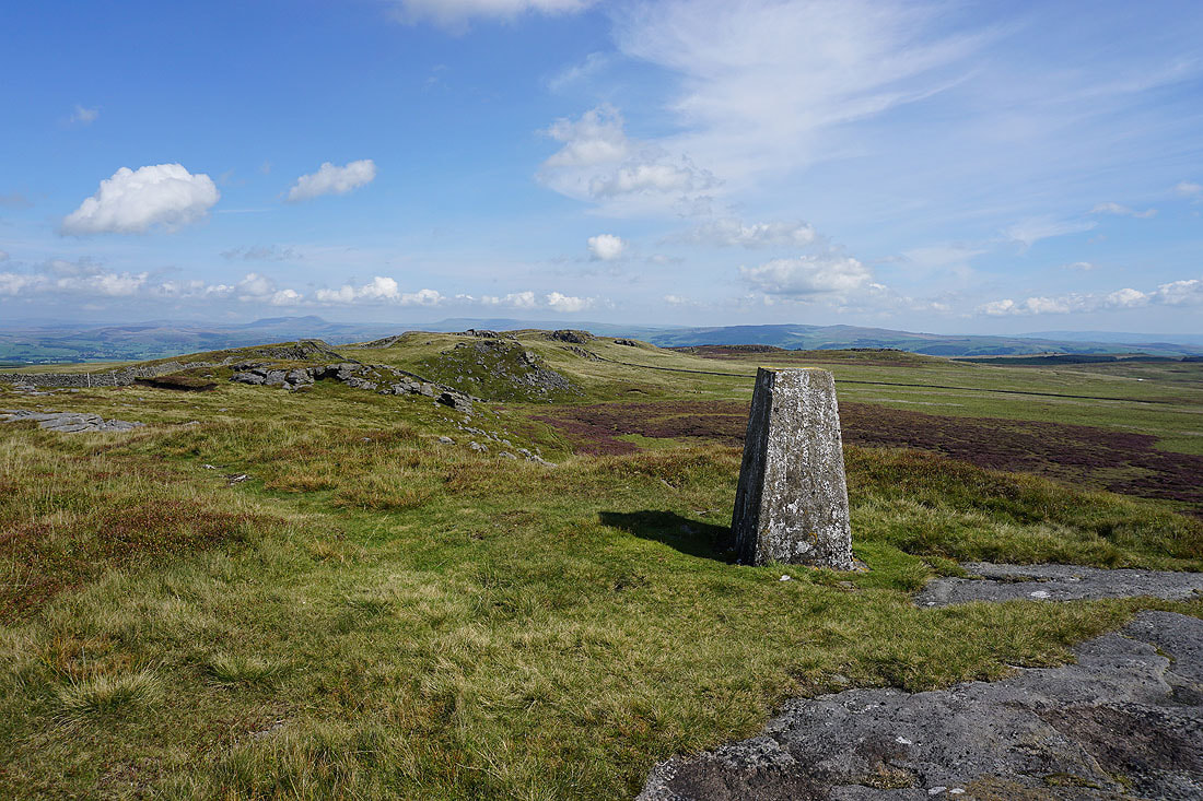
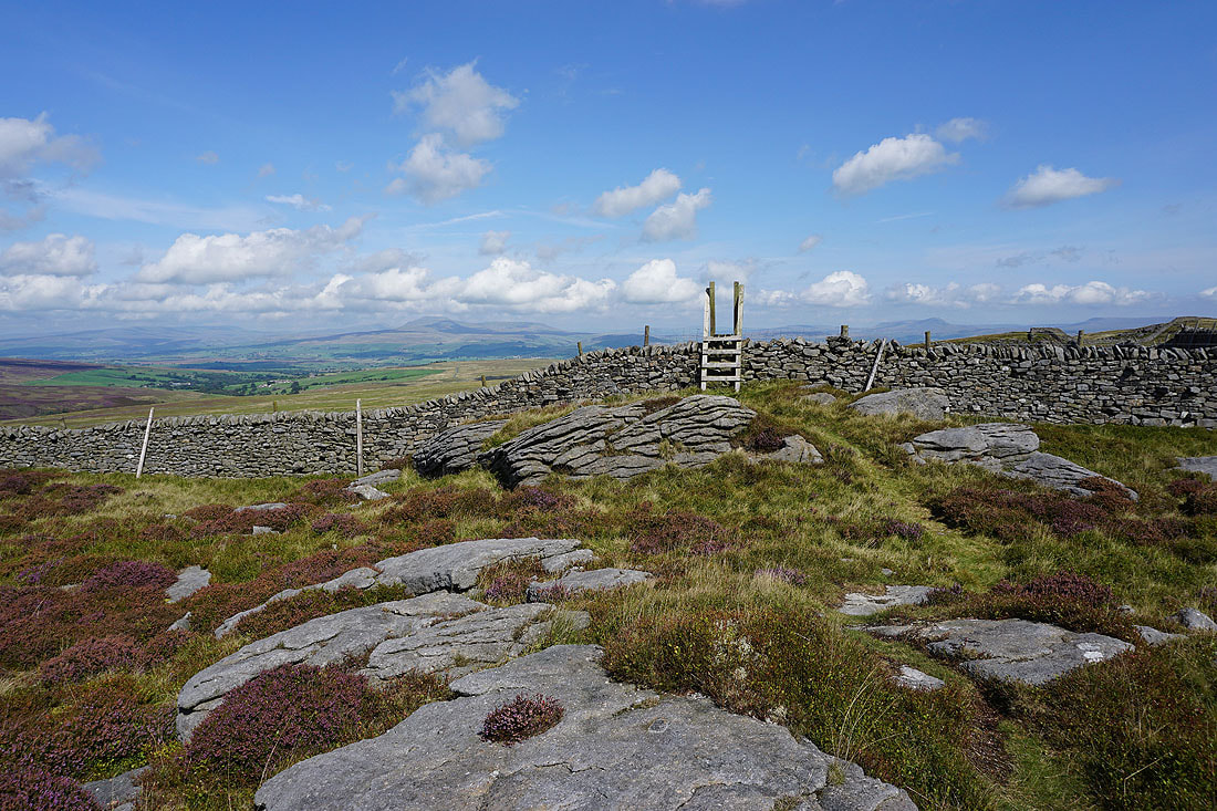
At the trig point on Bowland Knotts
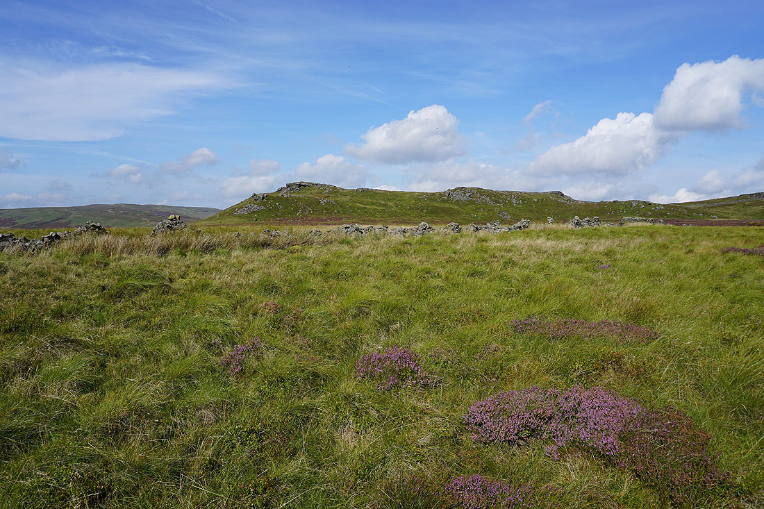
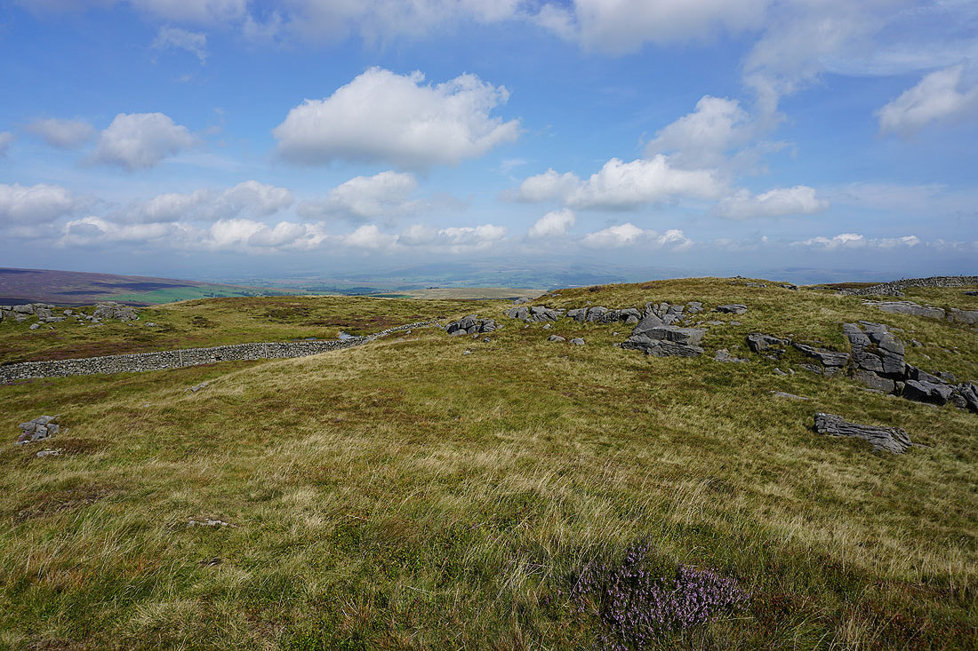
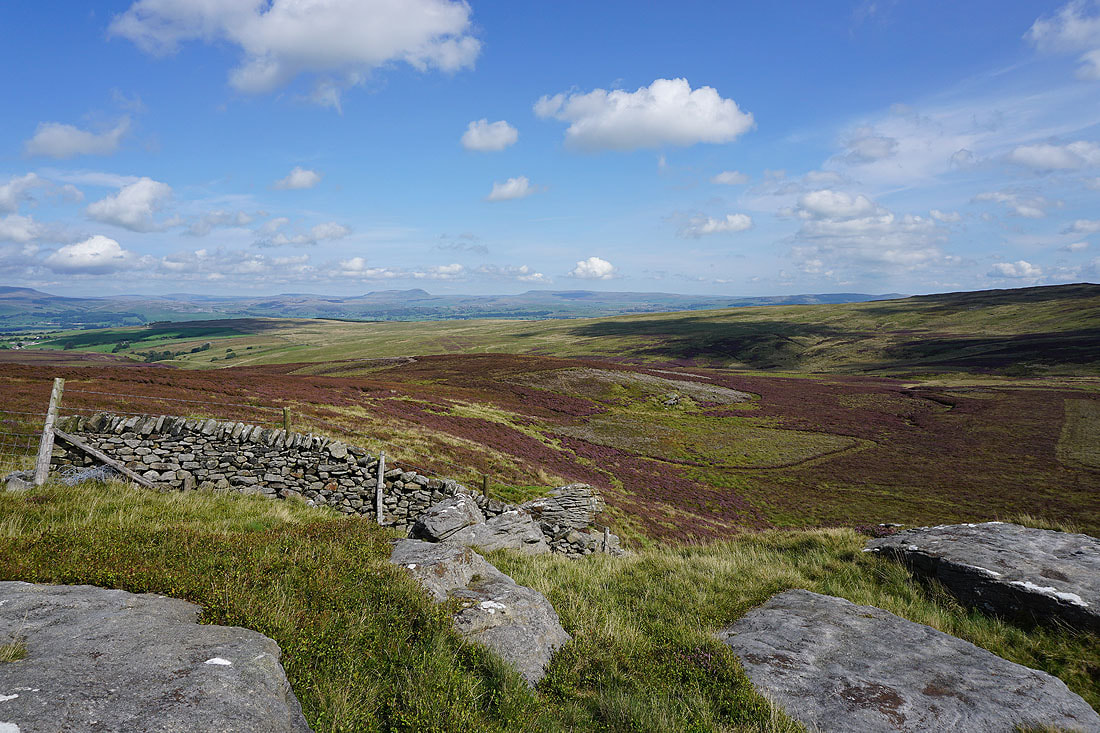
Cold Stone and Catlow Fell to the west
Gisburn Forest and the hazy outline of Pendle Hill on the right

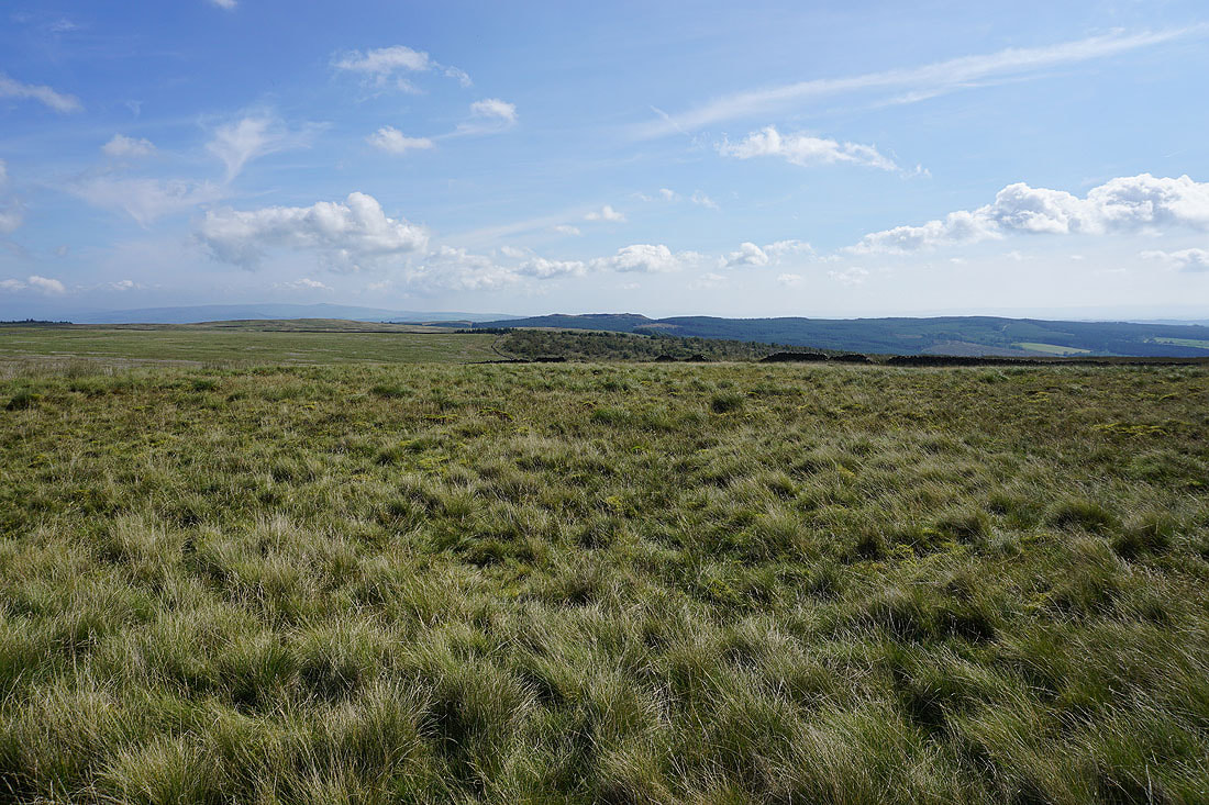
Easington Fell in the distance to the south
Looking east along Bowland Knotts to Penyghent, Fountains Fell, and Rye Loaf Hill in the distance
Leaving the trig point the cloud finally clears from Ingleborough in the Yorkshire Dales..
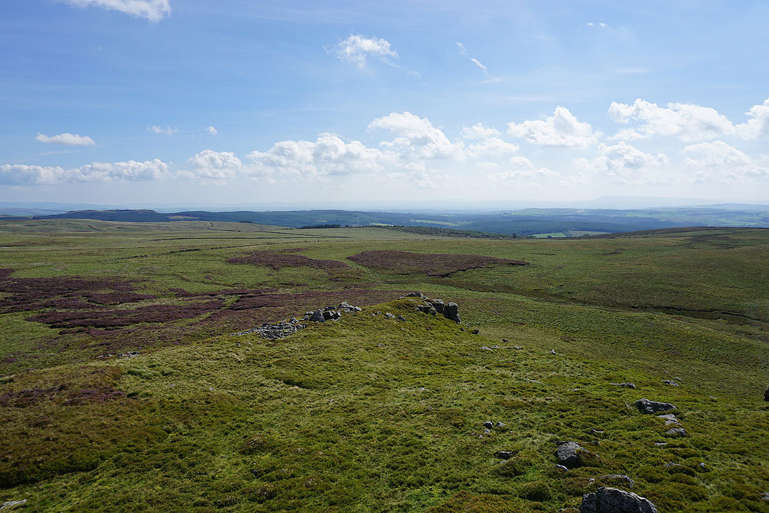
Leaving Bowland Knotts and heading for Cold Stone and Catlow Fell
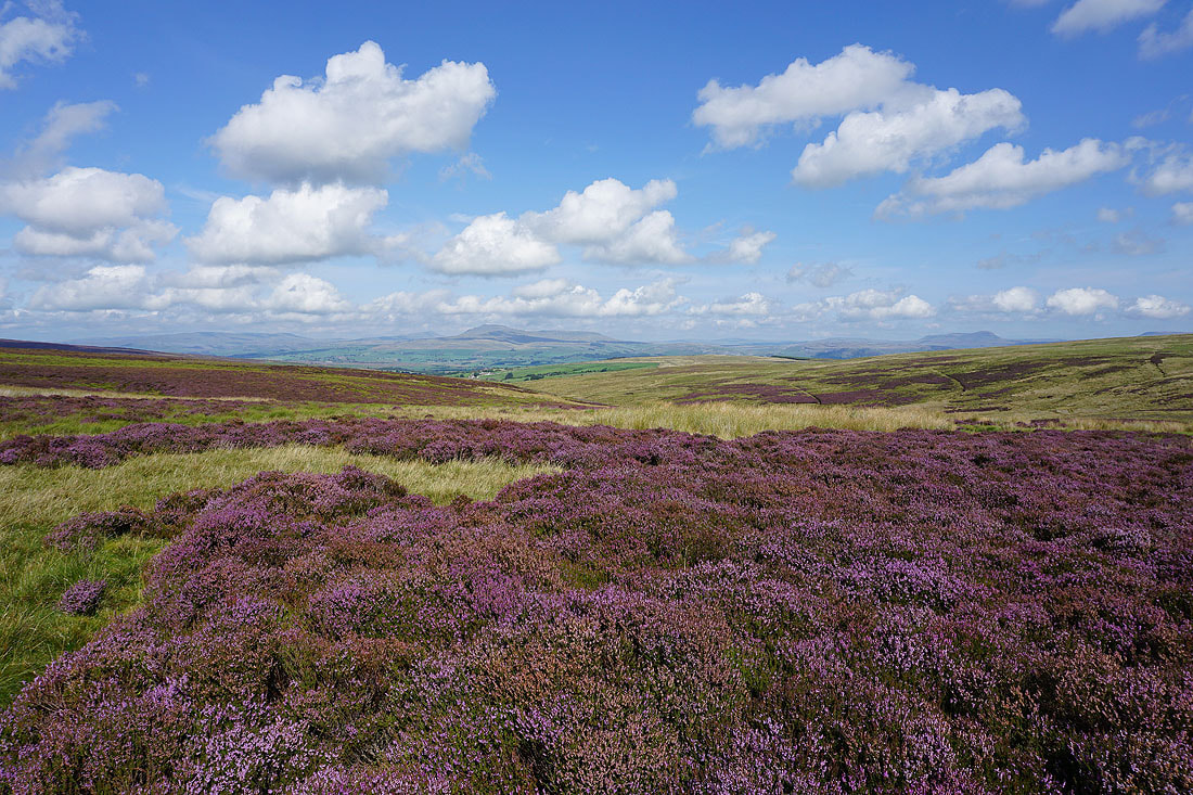
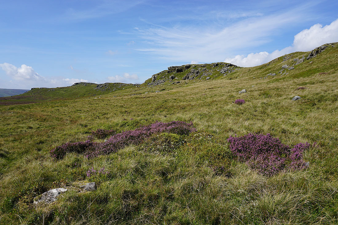
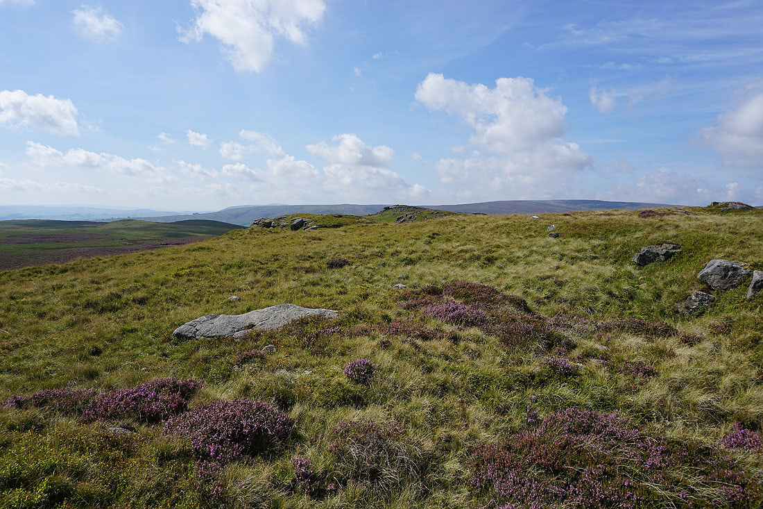
The flowering heather provides some colour for taking in the view to Whernside, Ingleborough and Penyghent from the dip between Bowland Knotts and Cold Stone
A short but steep climb to Cold Stone
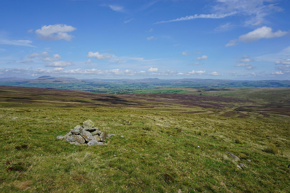
Penyghent and Fountains Fell in the distance from Cold Stone
and looking back to Bowland Knotts
Looking across to Whernside, Ingleborough, Penyghent and Fountains Fell..
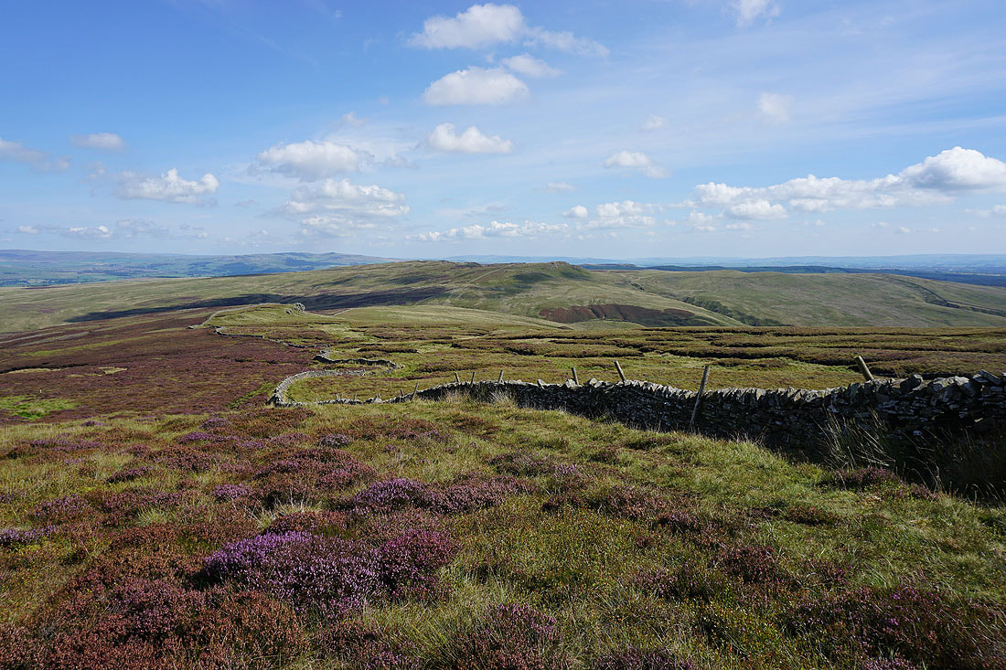
..and back to Bowland Knotts as I head up onto Catlow Fell

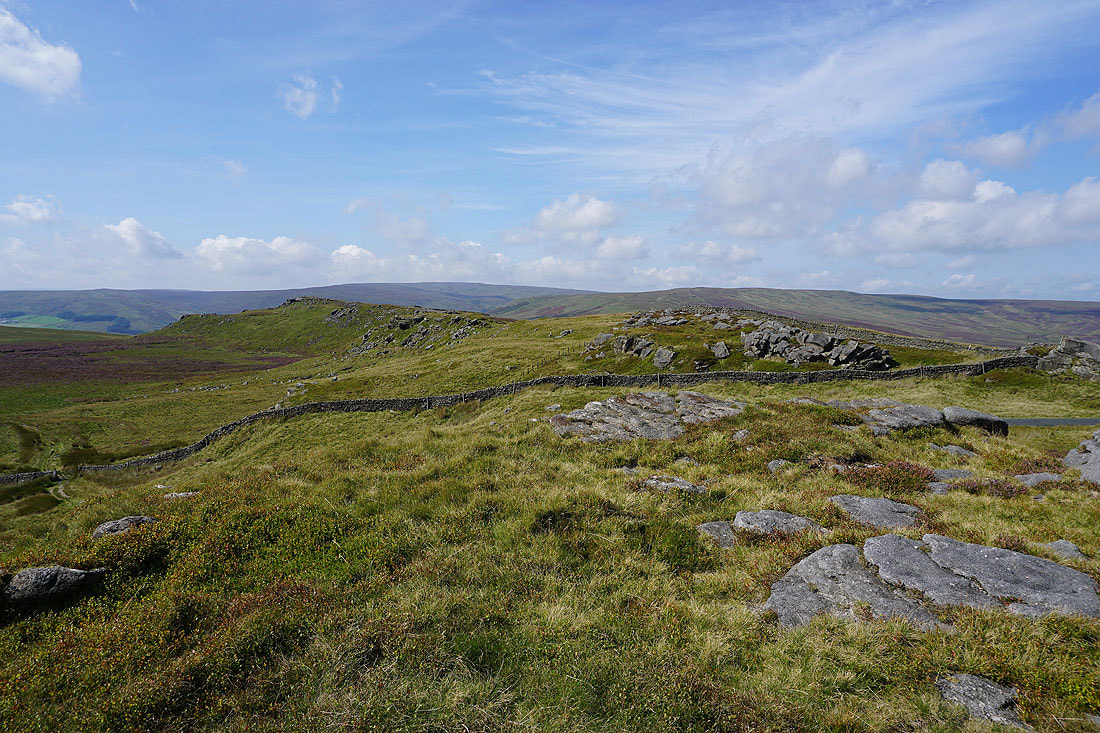
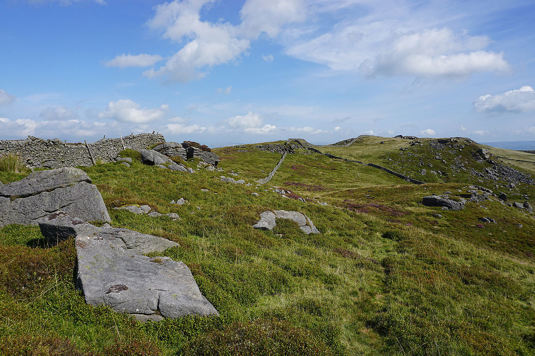
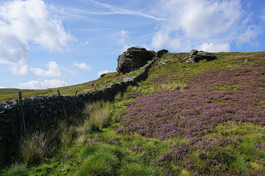
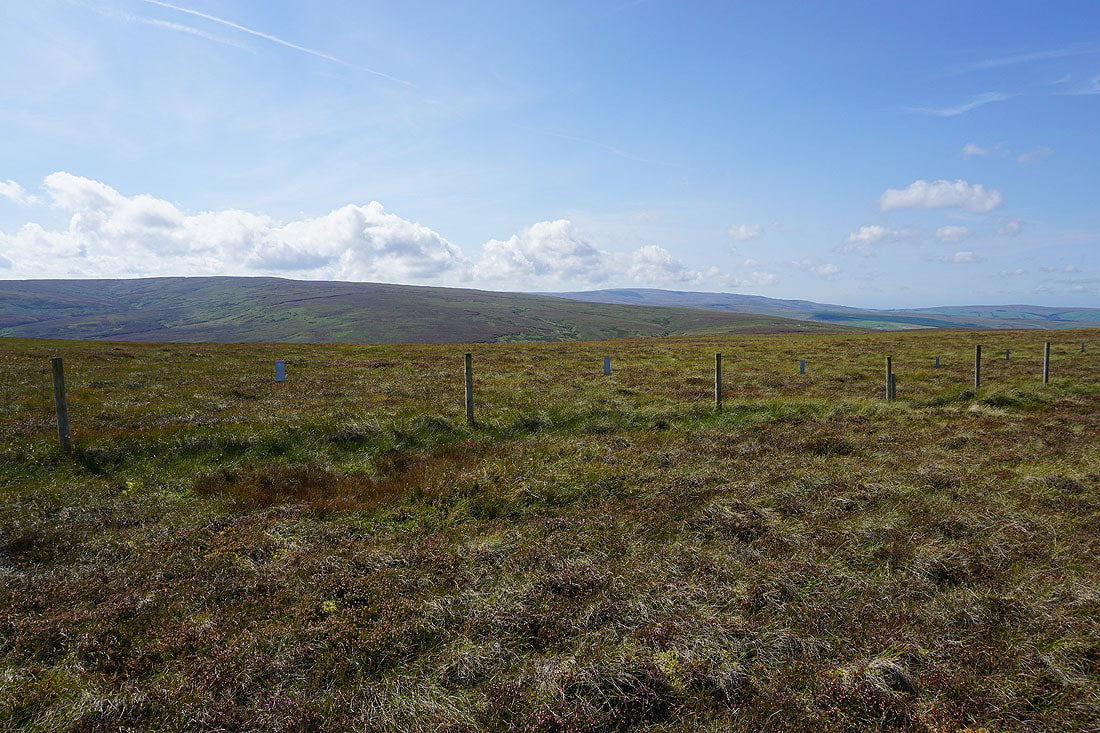
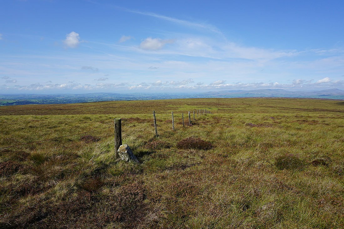
The wall becomes a fence as I approach the top of Catlow Fell
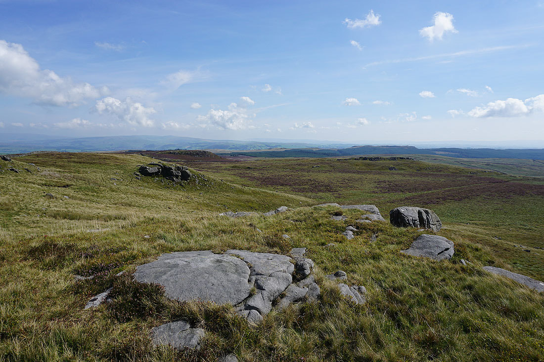
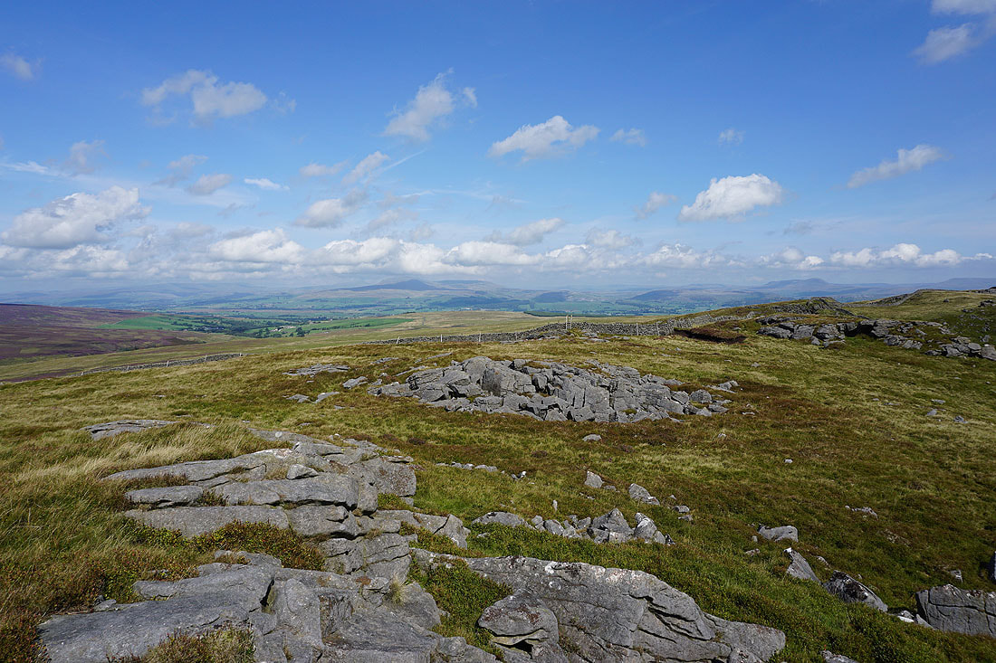
Penyghent, Fountains Fell, and Rye Loaf Hill in the distance, from the collection of rocks of Ravens Castle
White Hill, Ward's Stone and Caton Moor
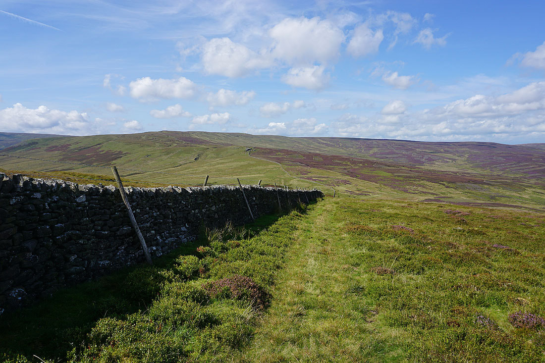
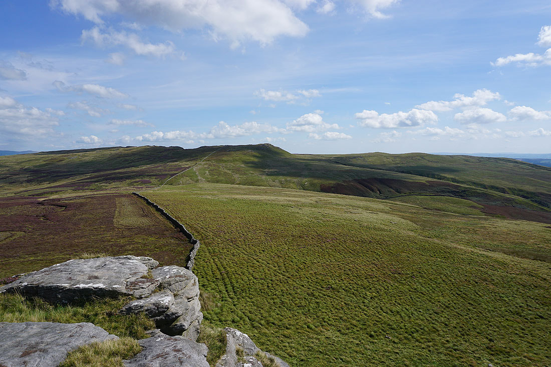
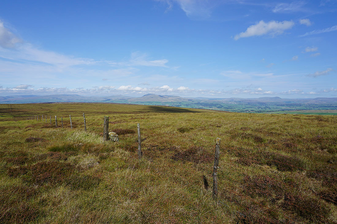
Following the fence across the top of Catlow Fell
Ingleborough, Penyghent, and Fountains Fell to the northeast
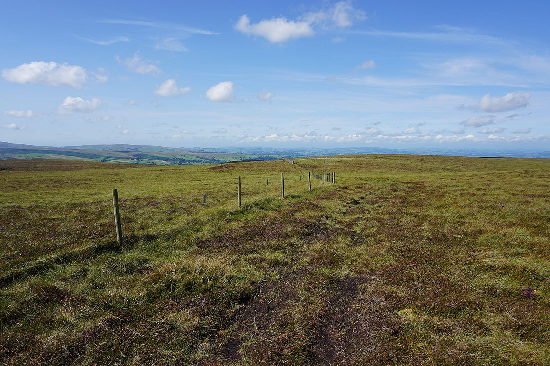
Before following the fence down to the Lythe Fell Road I followed this one north to take in the view across Burn Moor to the Lune Valley, and the Yorkshire Dales..
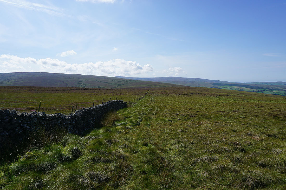
Following the fence down to the Lythe Fell Road
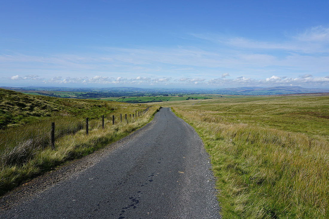
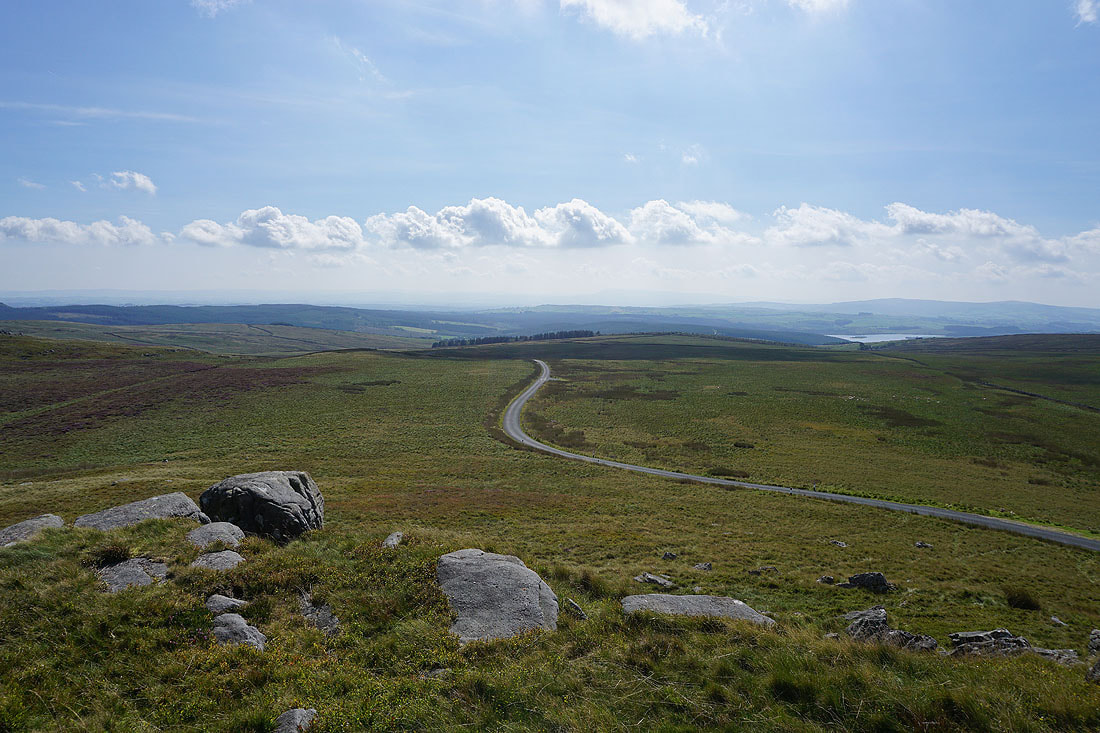
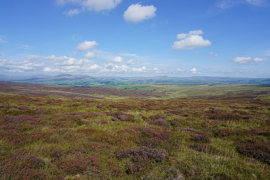
Glorious views from the top of the Lythe Fell Road
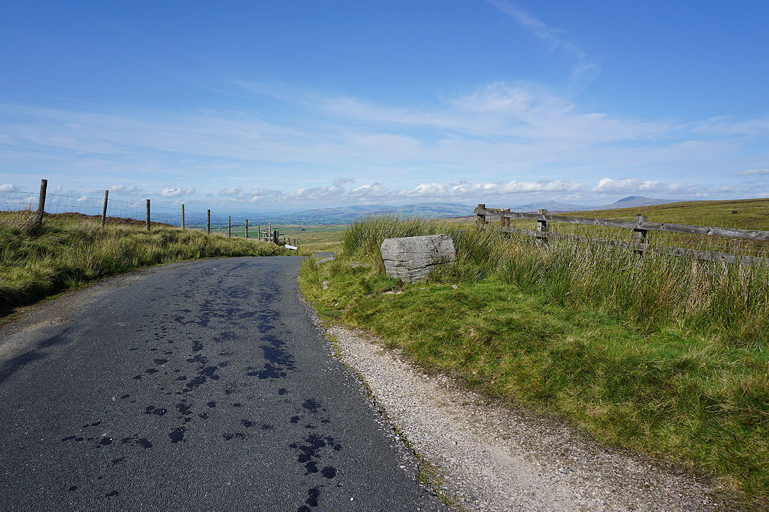
The boulder has a hole in its top, which once held the Cross of Greet
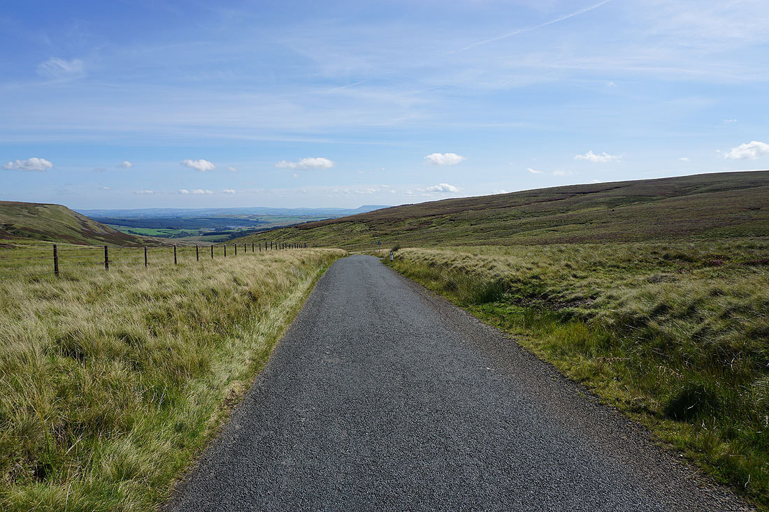
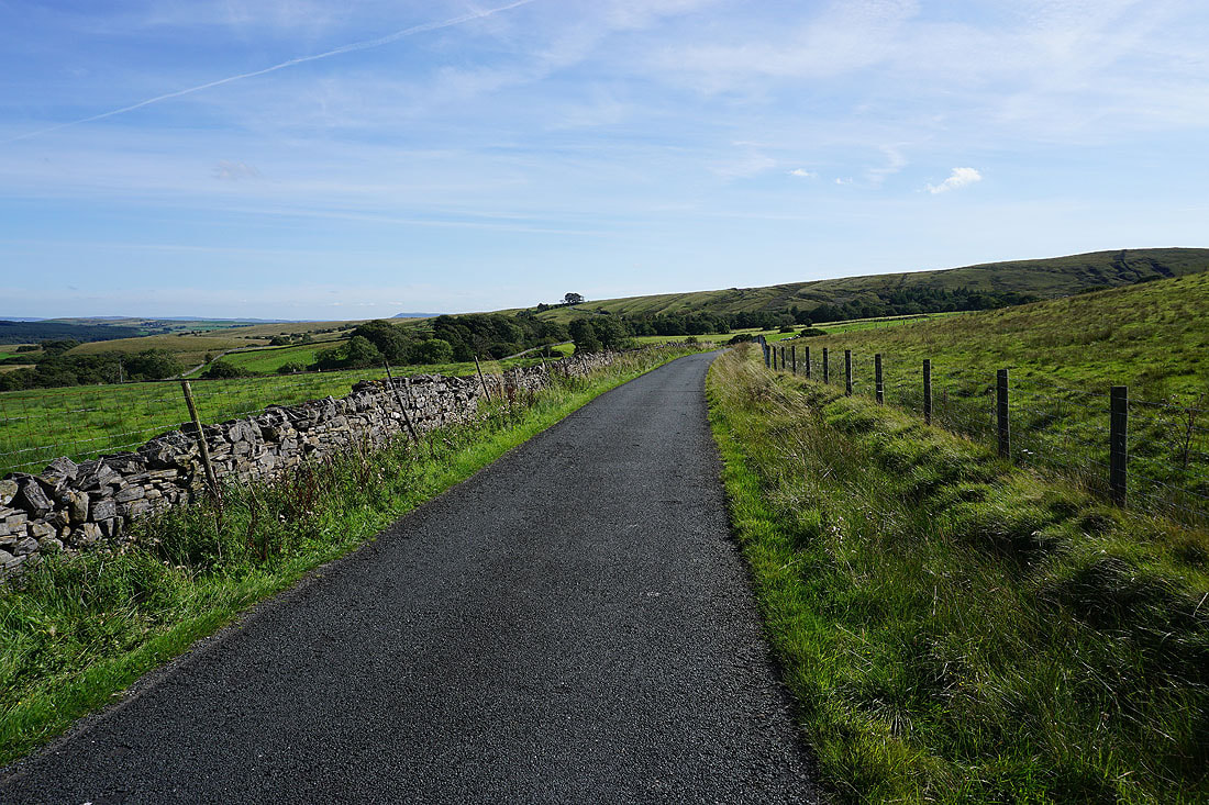
Walking down the Lythe Fell Road to the Cross of Greet Bridge..
Below the steep western slopes of Catlow Fell
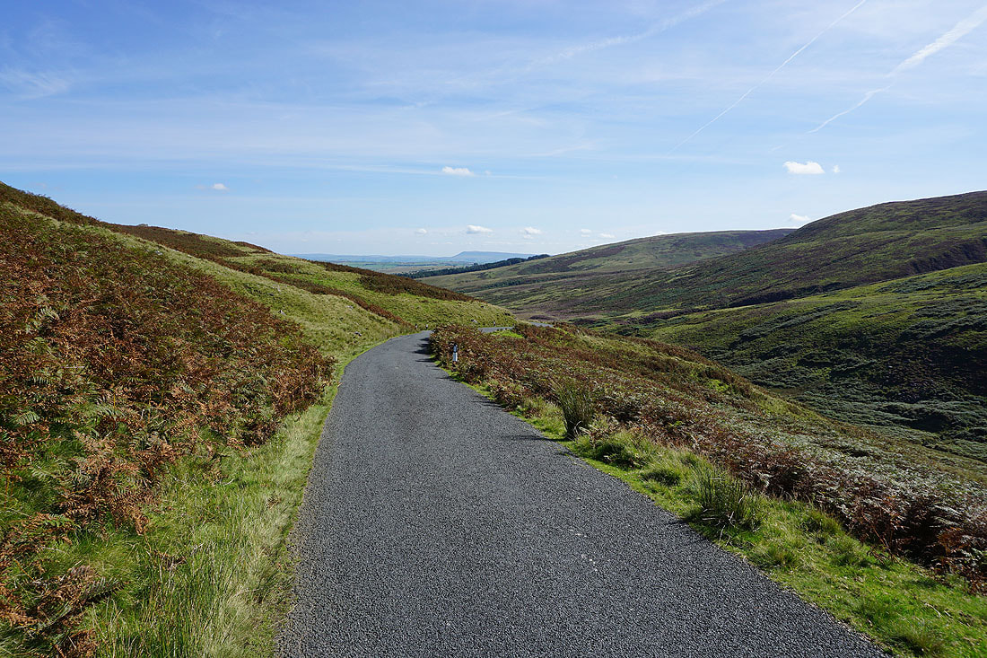
Catlow Fell from the road south of the Cross of Greet Bridge
From the Cross of Greet Bridge I continue walking south along the Lythe Fell Road
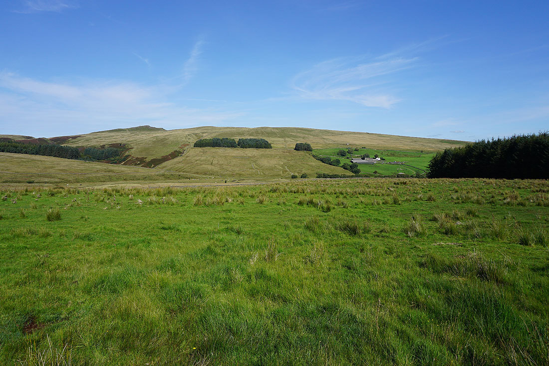
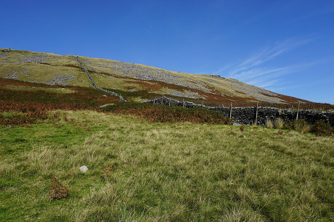
Bowland Knotts and Pike Side above Catlow Farm
Looking back to Catlow Fell
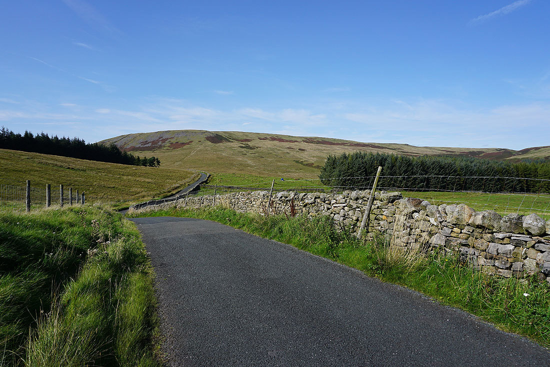
I leave the Lythe Fell Road for a track, then footpath, down Copped Hill Clough..
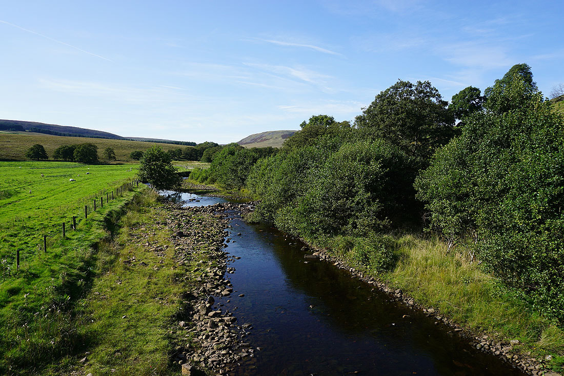
Crossing the River Hodder
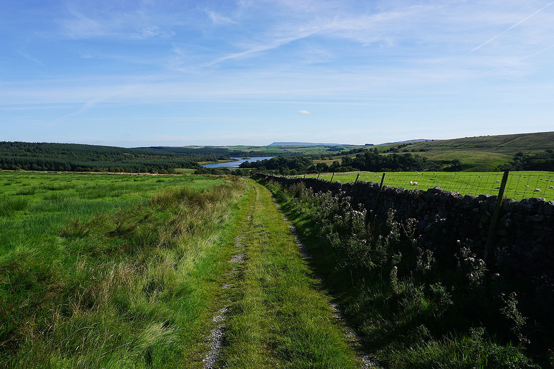
Heading back down to Gisburn Forest and Stocks Reservoir
One last shot looking across the countryside around the River Hodder before I enter the woodland of Gisburn Forest
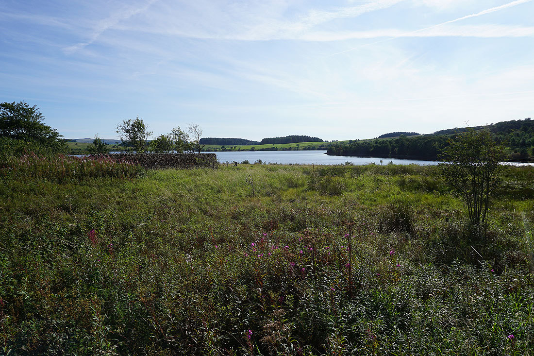
A final shot of Stocks Reservoir as I return to the car park