4th April 2010 - A walk in the northern Howgills
Walk Details
Distance walked: 13.2 miles
Total ascent: 2955 ft
OS map used: OL19 - Howgill Fells & Upper Eden Valley
Time taken: 7 hrs
Route description: Gaisgill-Ellergill-Rispa Pike-Uldale Head-Blakethwaite Bottom-Docker Knott-Over Sale-Bush Howe-The Calf-Hazelgill Knott-West Fell-Langdale Knott-Cowbound Lane-Town Head-Longdale-Gaisgill
A long walk in the northern Howgills. Setting off from Gaisgill the route takes in Uldale Head, Docker Knott, Bush Howe to The Calf. The route back takes in Hazelgill Knott, West Fell and Langdale Knott.
Route map
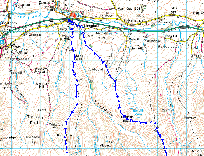
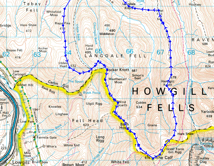
© Crown copyright. All rights reserved. License number PU 100034184.
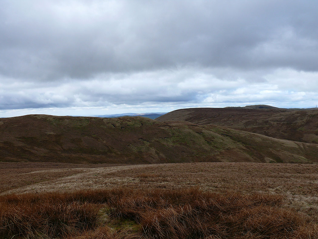
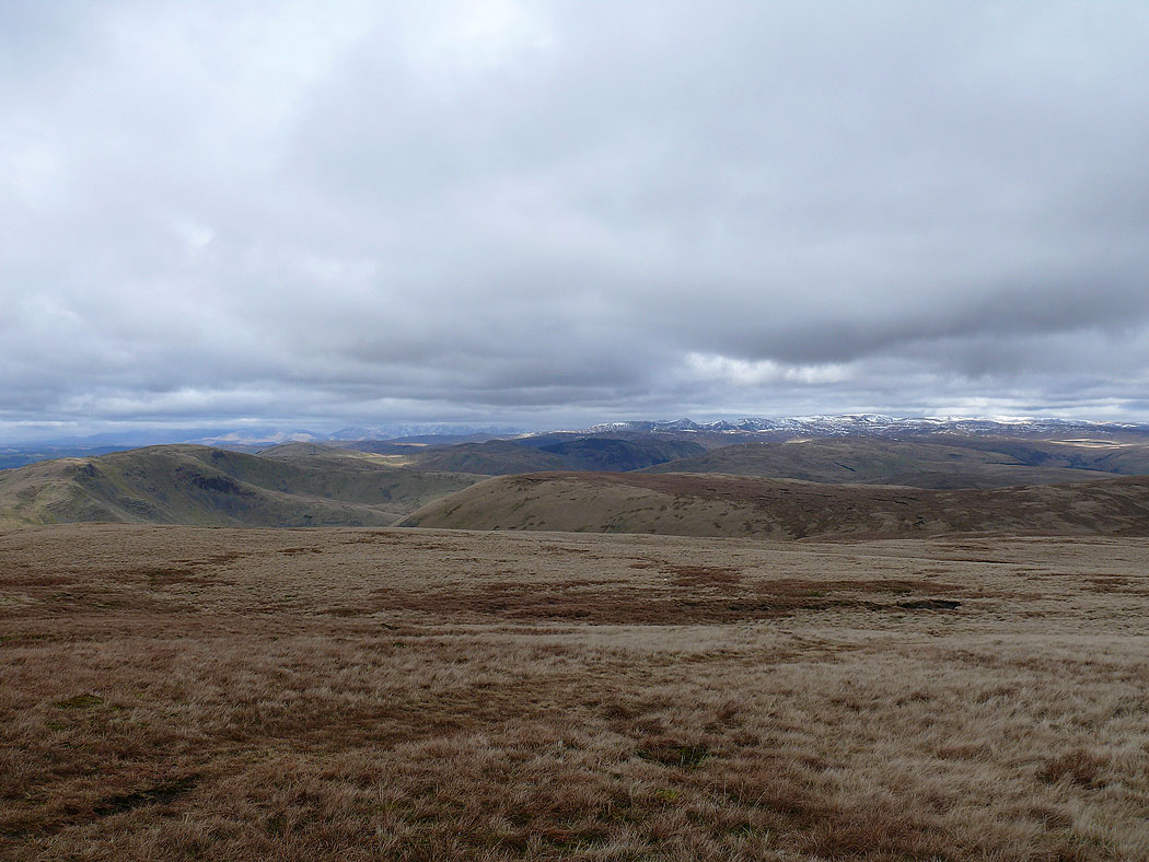
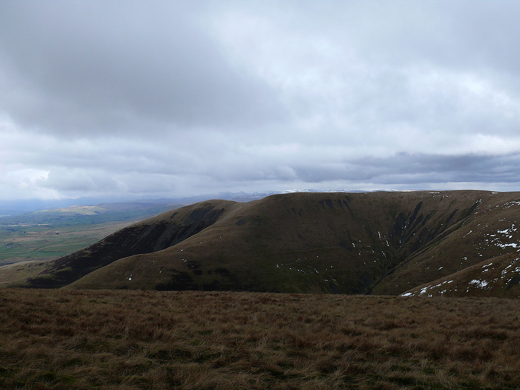
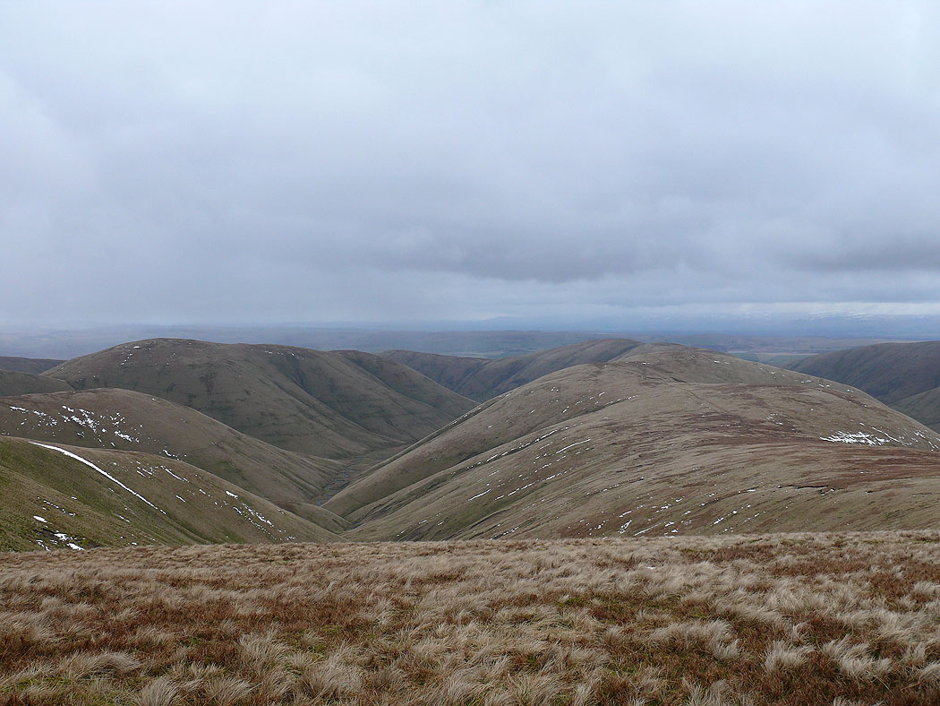
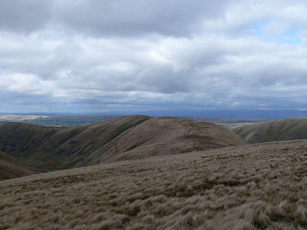
View from the first top of Rispa Pike
Towards the Lake District from Rispa Pike
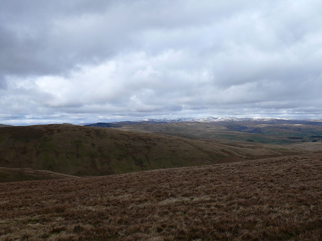
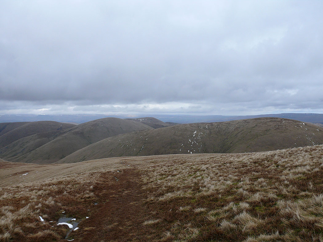
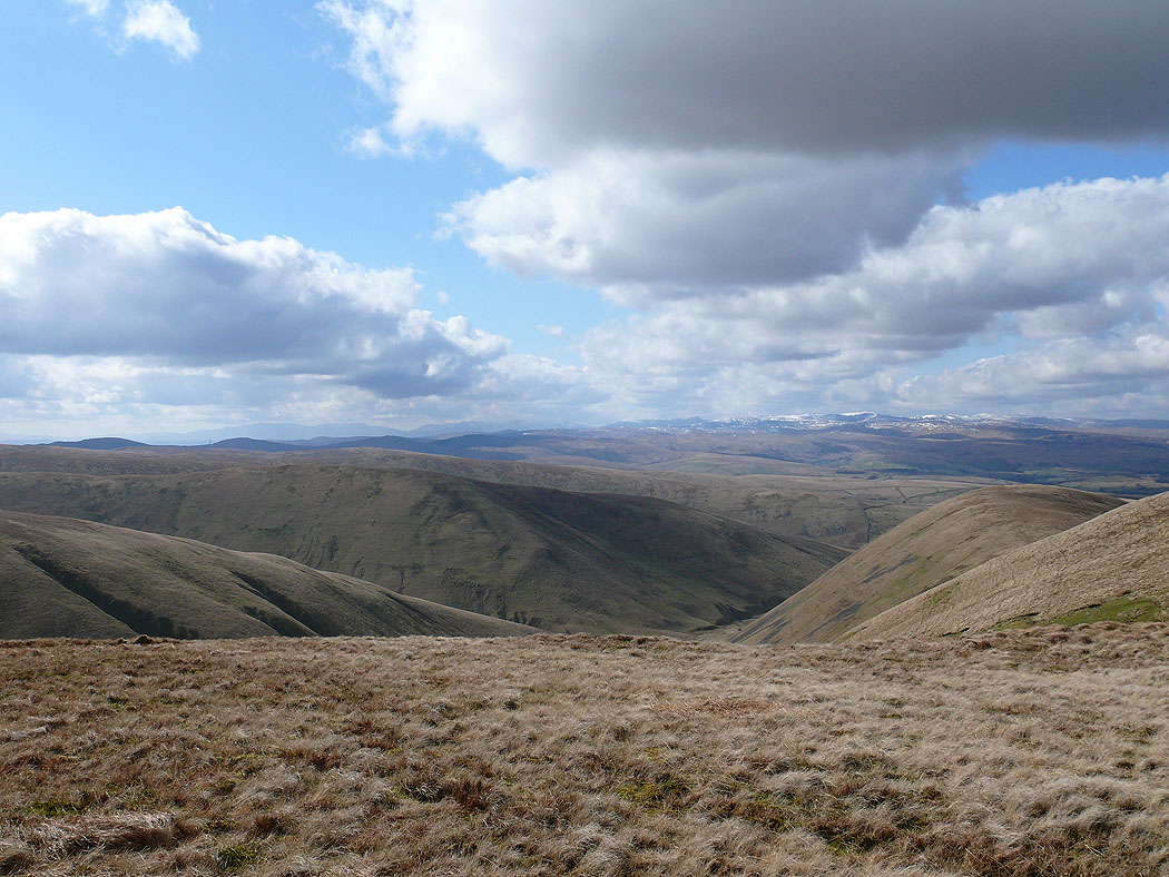
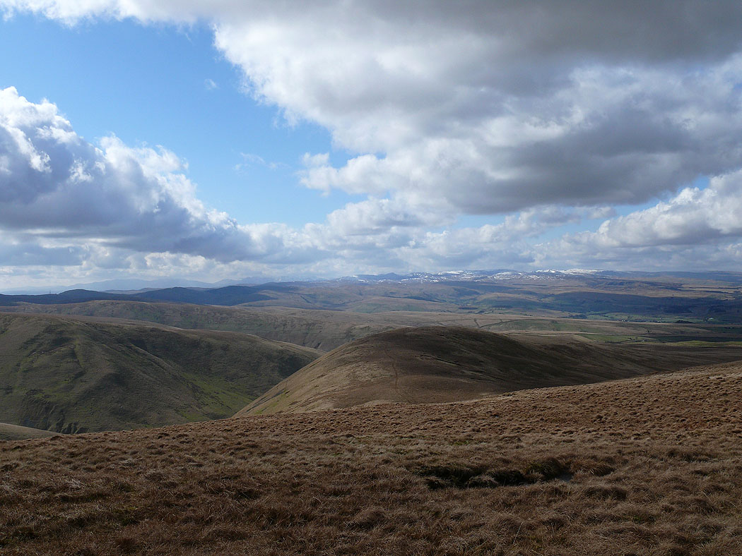
View towards the Lake District from Uldale Head
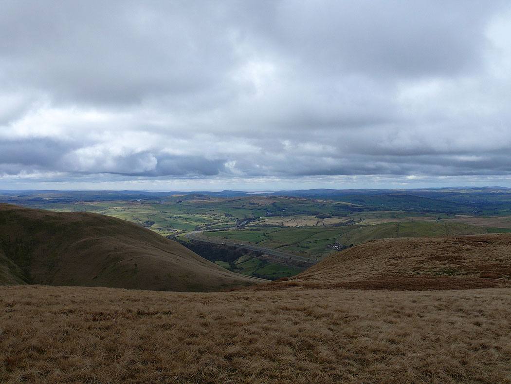
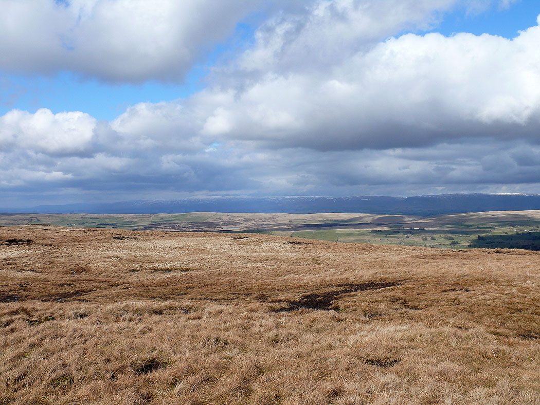
The view towards Morecambe Bay from Uldale Head
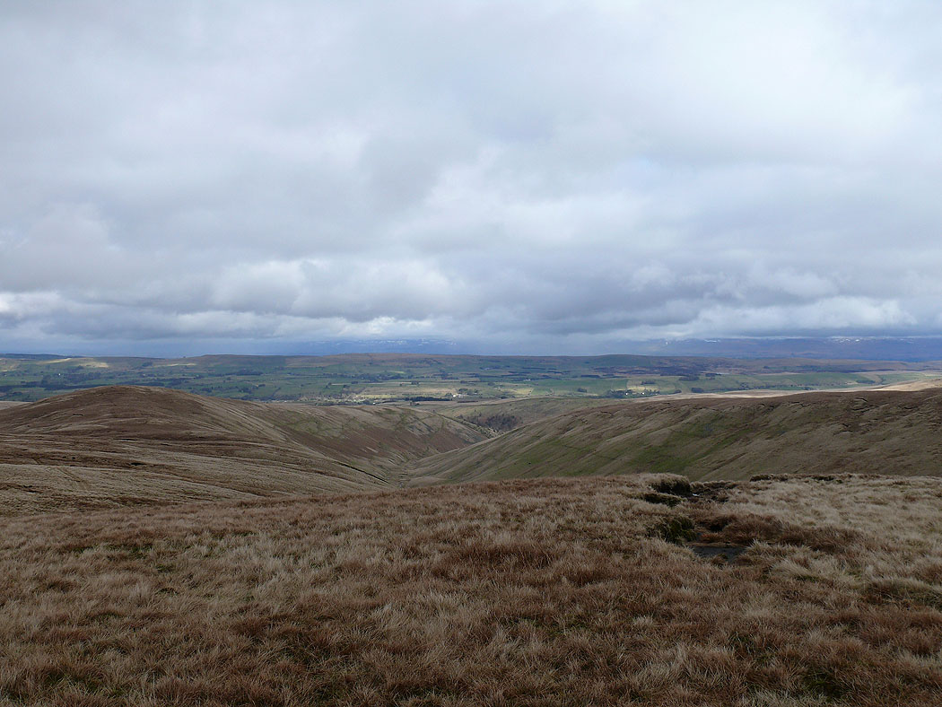
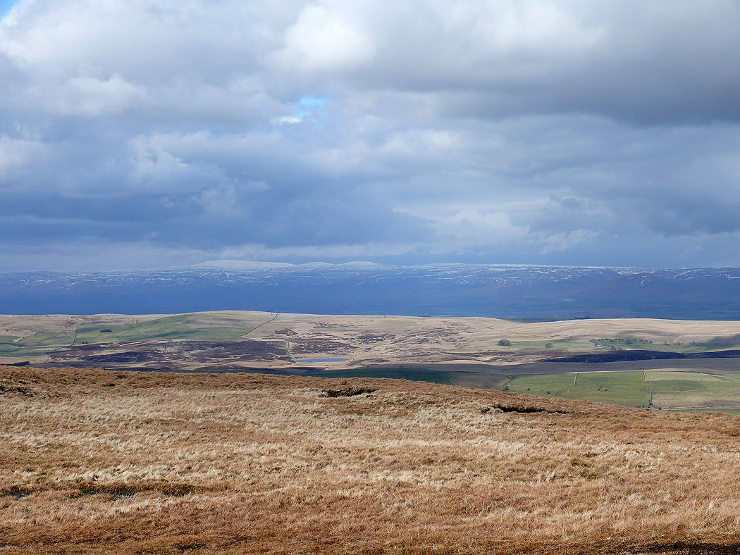
Uldale from Uldale Head
Another view towards the Lake District from Uldale Head
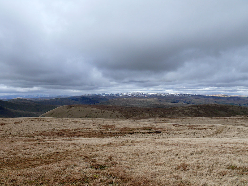
Fell Head from Bush Howe
The view north from Bush Howe
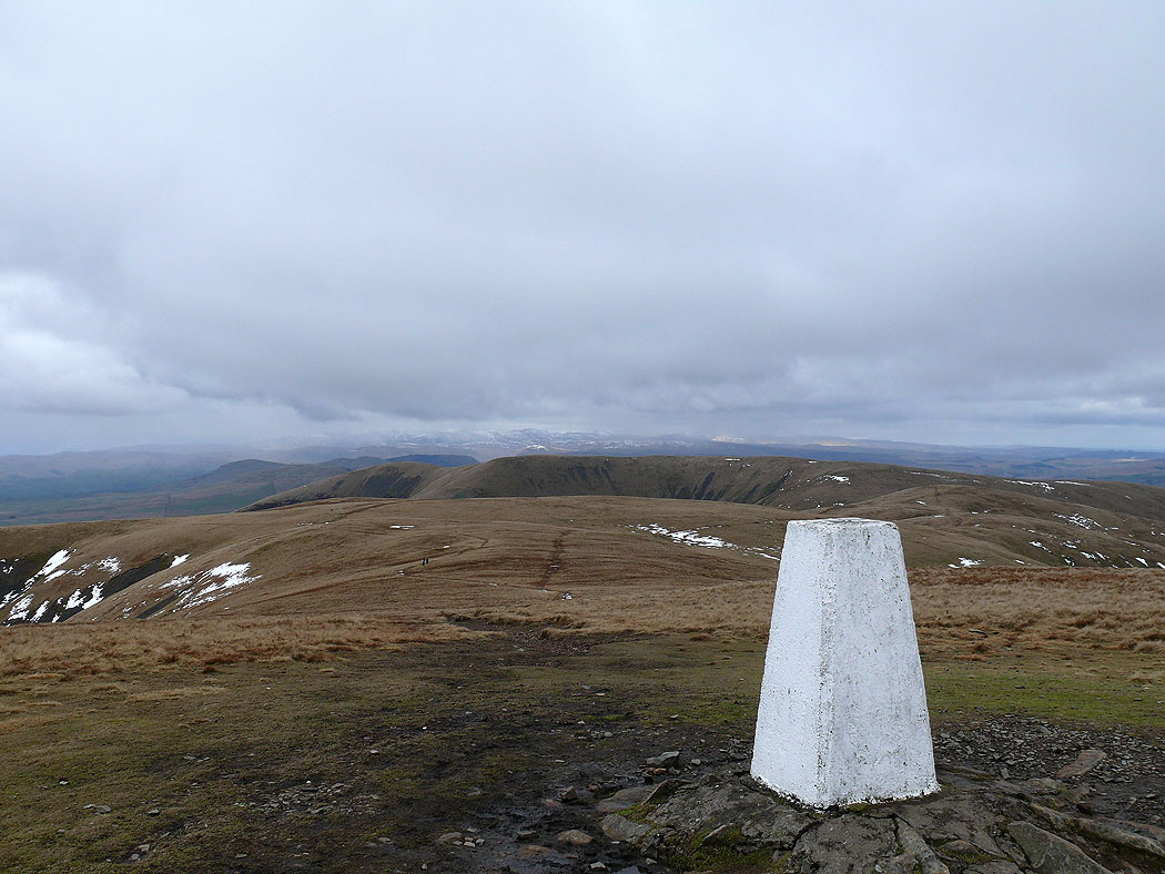
The Calf
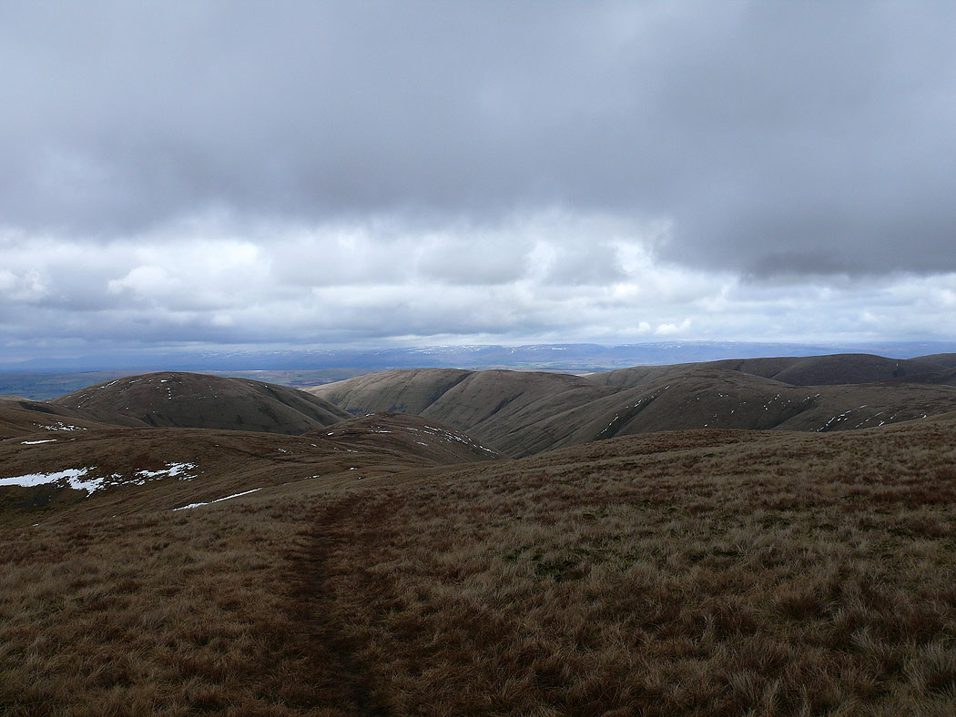
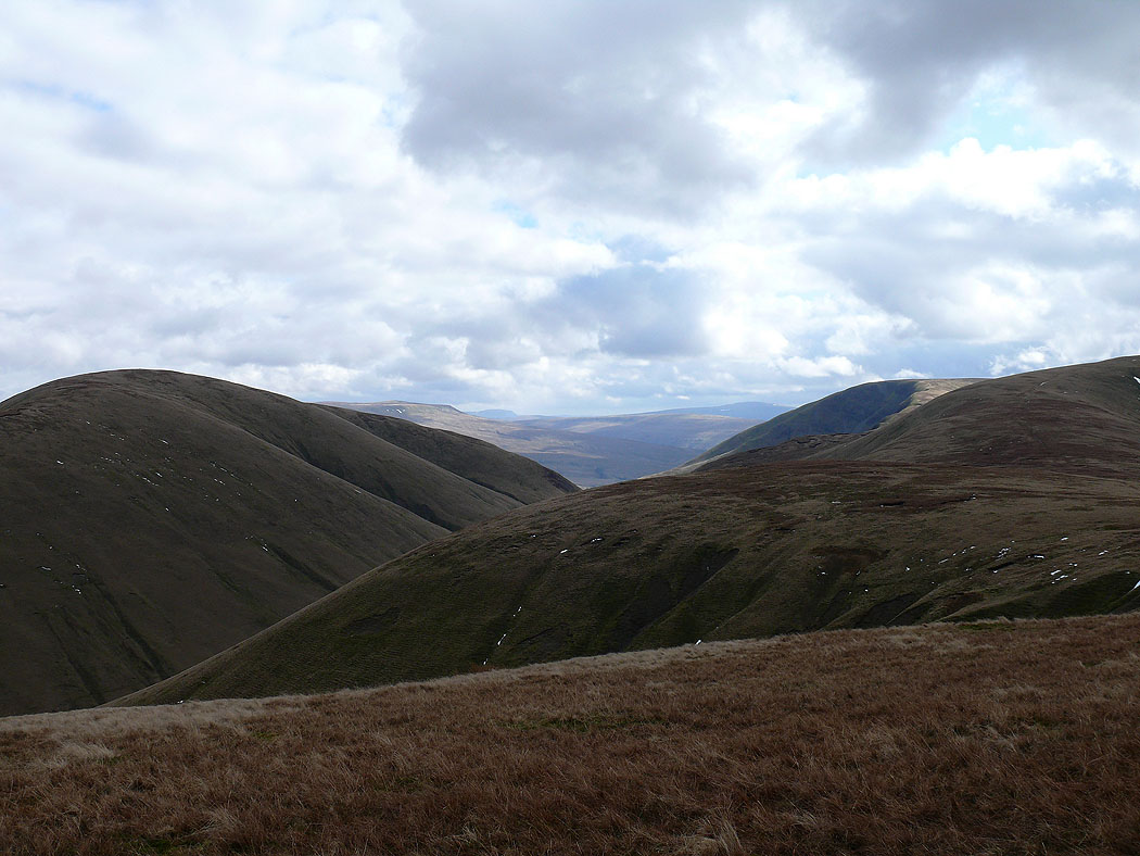
Heading for Hazelgill Knott. The high point on the right is Randygill Top.
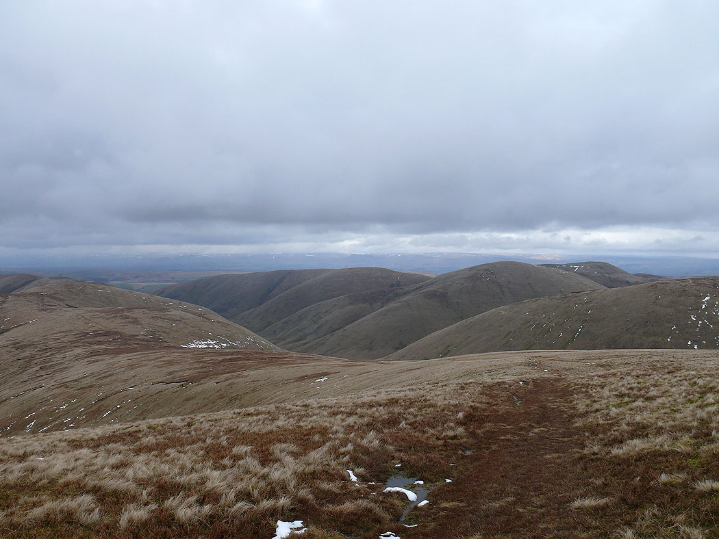
Langdale below. The ridge on the right is the route back over Hazelgill Knott and West Fell.
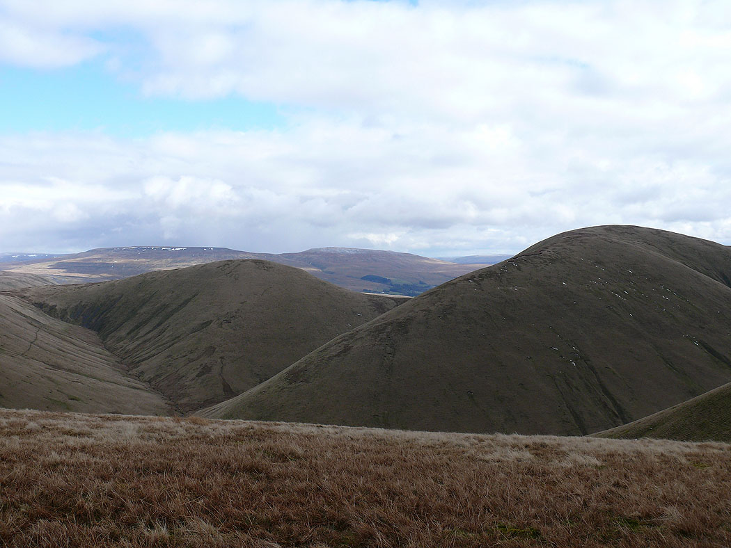
Randygill Top and Yarlside
On Hazelgill Knott. Yarlside on the left, Cautley Crag can be seen on the right.
Kensgriff and Yarlside. Wild Boar Fell and Swarth Fell in the distance.
Heading for West Fell
A view to the Lake District on the way to West Fell
The North Pennines from West Fell
Zooming in on Cross, Little and Great Dun Fells
Heading down to Langdale Knott and back to the start