4th April 2015 - Darwen Moor
Walk Details
Distance walked: 6.7 miles
Total ascent: 1190 ft
OS map used: 287 - West Pennine Moors
Time taken: 4.5 hrs
Route description: Roddlesworth Information Centre, Tockholes Road-Ryal Fold-Darwen Hill-Witton Weavers Way-Duckshaw Clough-Darwen Moor-Cartridge Hill-Tockholes Road-Witton Weavers Way-River Roddlesworth-Roddlesworth Information Centre, Tockholes Road
There's fine weather forecast for the rest of the Easter weekend. I've decided to stick to doing walks locally, I won't have far to drive and I can leave home at a reasonable time in the morning and get back in time for tea. Plus, if there are any traffic jams on the M6 I won't get stuck in them. Todays destination is Darwen Moor in the West Pennine Moors, somewhere I haven't been to for a couple of years. The weather turned out better than I thought it would, there were some nice sunny spells and with the great visibility it was a lovely day to be up on the moor.
I started the walk from the car park of the Roddlesworth Information Centre on the Tockholes Road. From the back of the car park I took the short cut to the track to Ryal Fold Farm. I followed a field path downhill towards Earnsdale Reservoir before heading up to the track round the north side of Sunnyhurst Hey Reservoir. I then made my way up to the Jubilee Tower on Darwen Hill. The Witton Weavers Way trail was then followed round the eastern side of the moor until I reached Duckshaw Clough, here I left the trail for a track that goes up and over the moor. I did a there and back to the top of Cartridge Hill before following the track down to the Tockholes Road. I crossed over and then made my way through the woods down to the River Roddlesworth. To finish, I had a steep path to climb up to the car park.
Route map
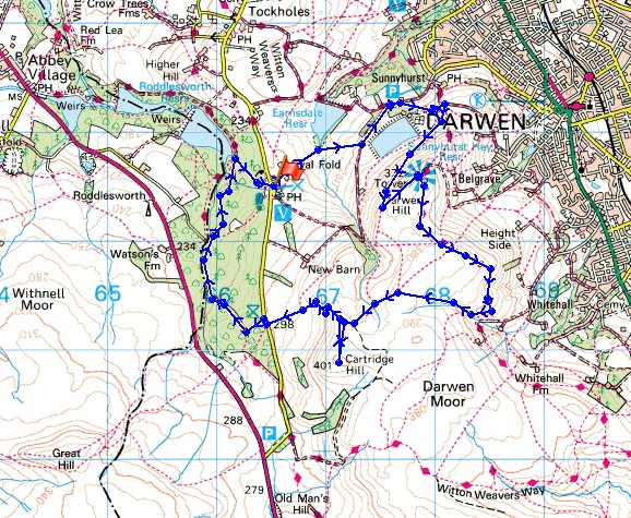
© Crown copyright. All rights reserved. License number PU 100034184.
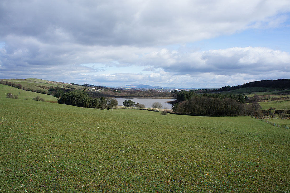
Earnsdale Reservoir backed by Pendle Hill as I head downhill from the car park
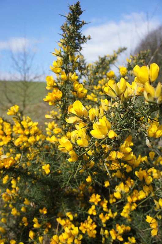
The recent fine weather is certainly encouraging the gorse to flower
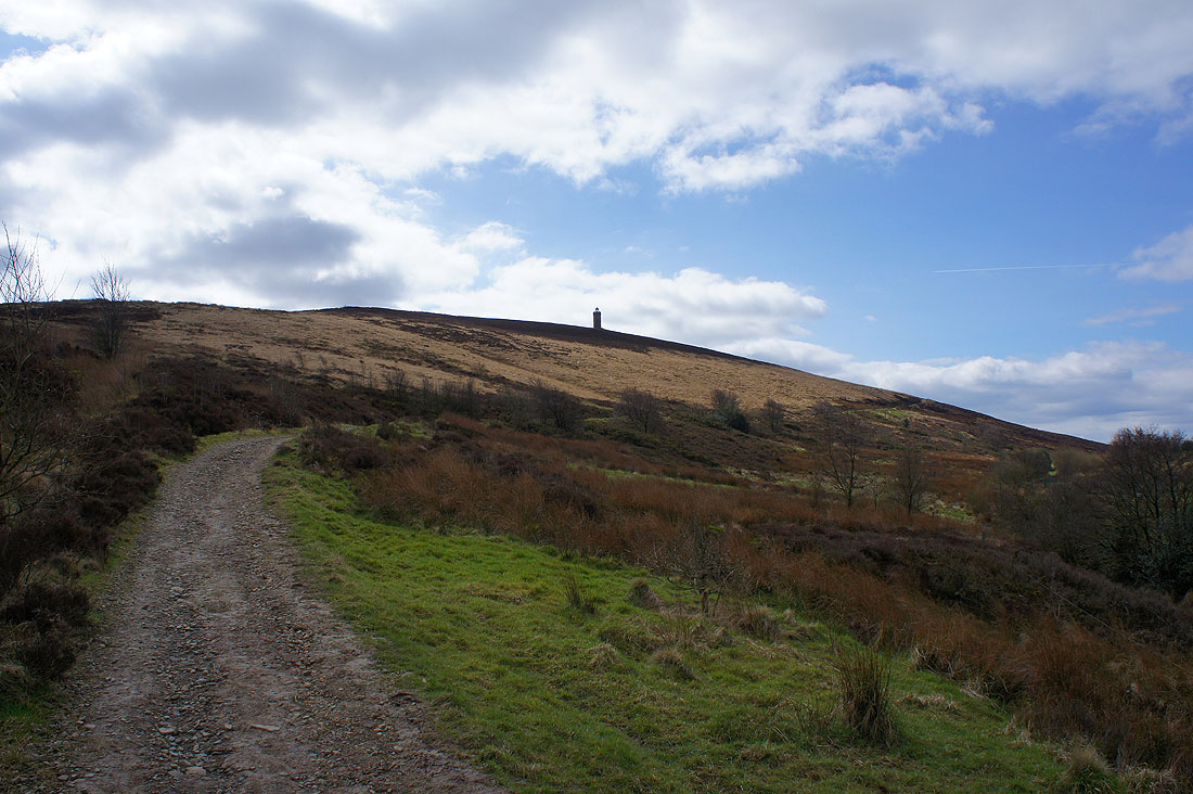
On the track up Darwen Hill
Expanding views as I gain height
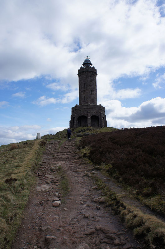
The final approach to the Jubilee Tower
The trig point is somewhat overwhelmed by its lofty company
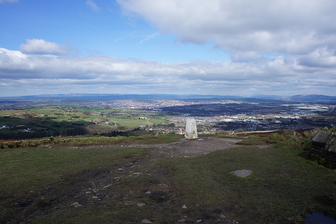
The view from the top of the tower. Winter Hill in the distance beyond Darwen Moor.
Sunshine on Great Hill
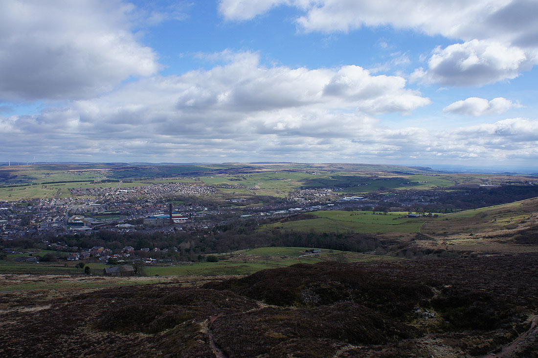
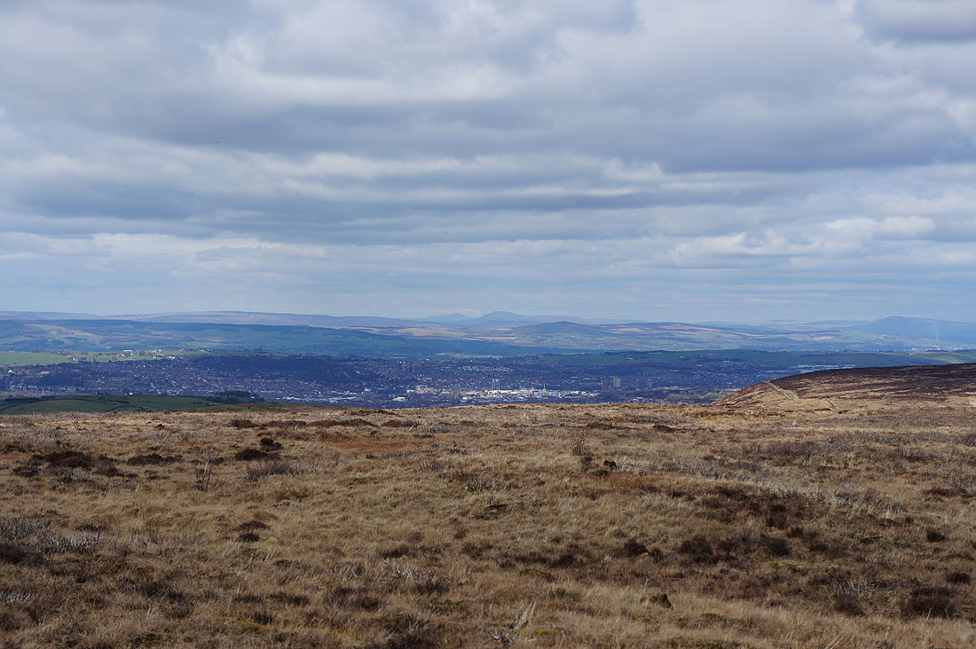
Looking across Darwen to Haslingden Moor and Holcombe Moor
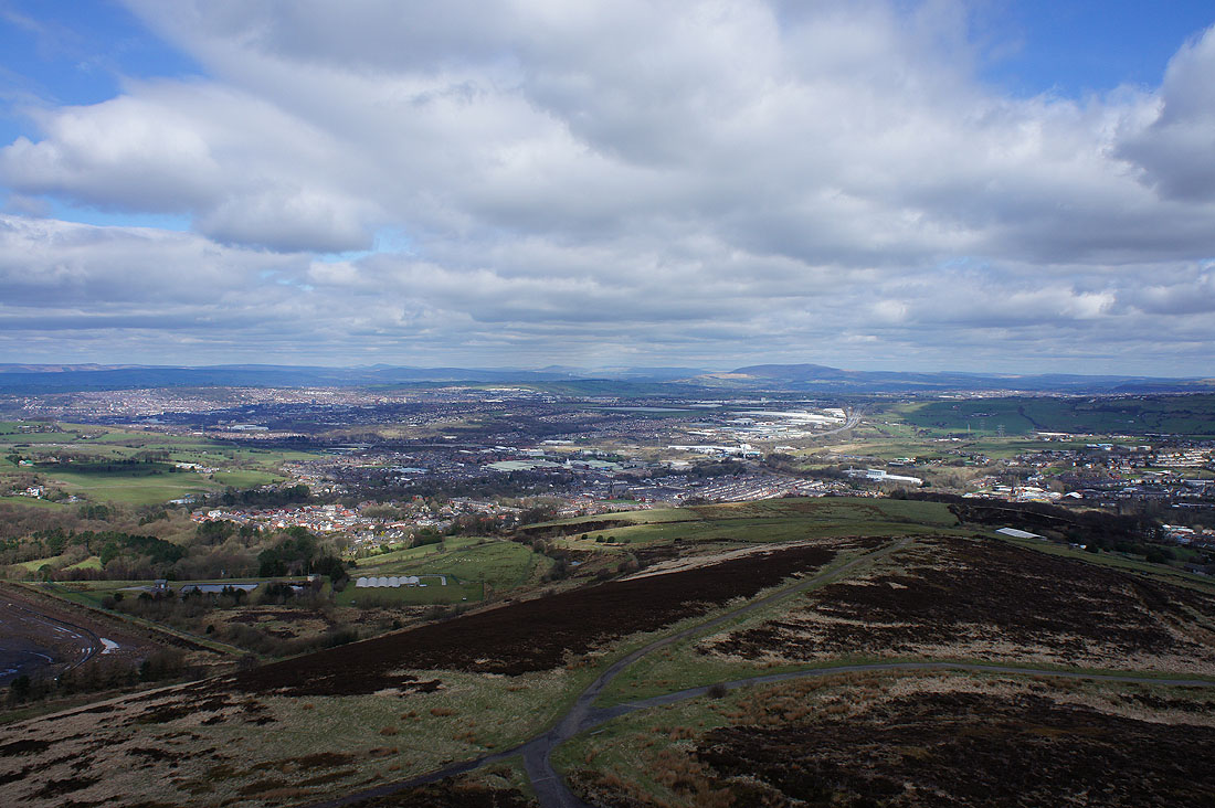
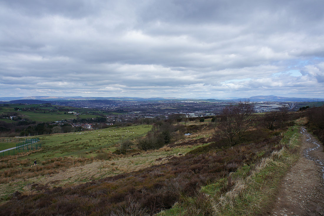
Blackburn with Pendle Hill in the distance. I can also clearly make out Ingleborough and Penyghent in the Yorkshire Dales, there's great visibility today.
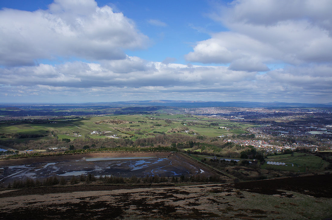
and finally looking towards the fells of the Forest of Bowland. Sunnyhurst Hey Reservoir below has been drained and the plan is to return it to nature. Obviously, still a work in progress.
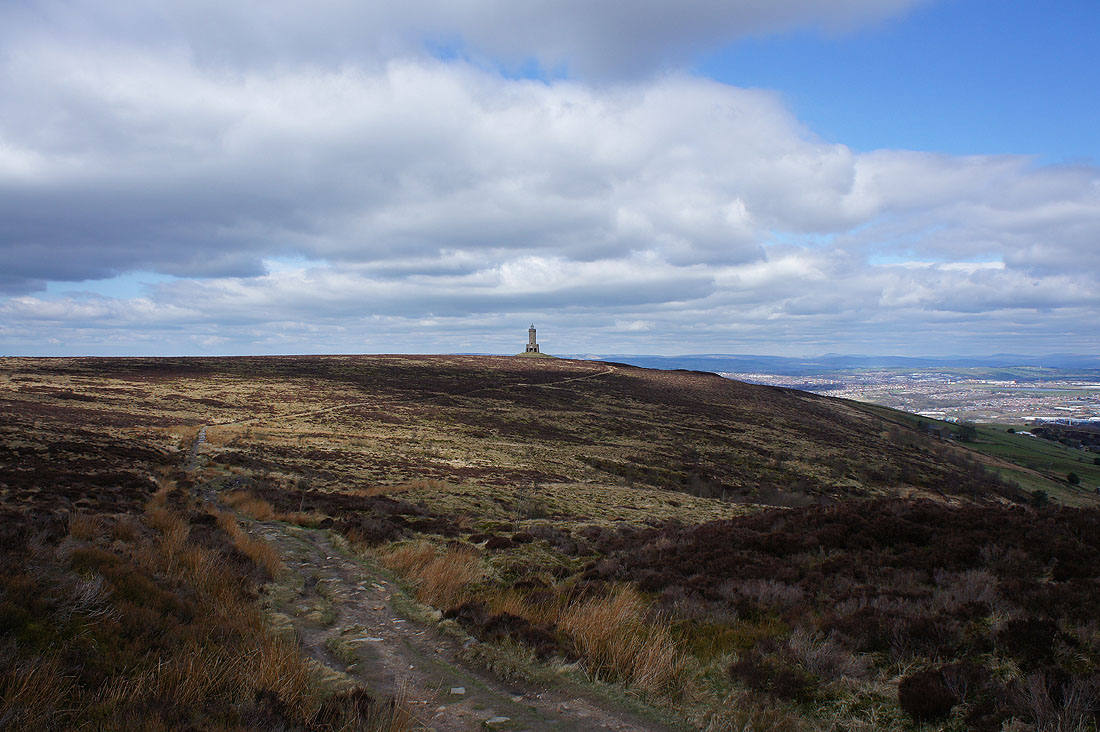
Looking back to the Jubilee Tower as I take..
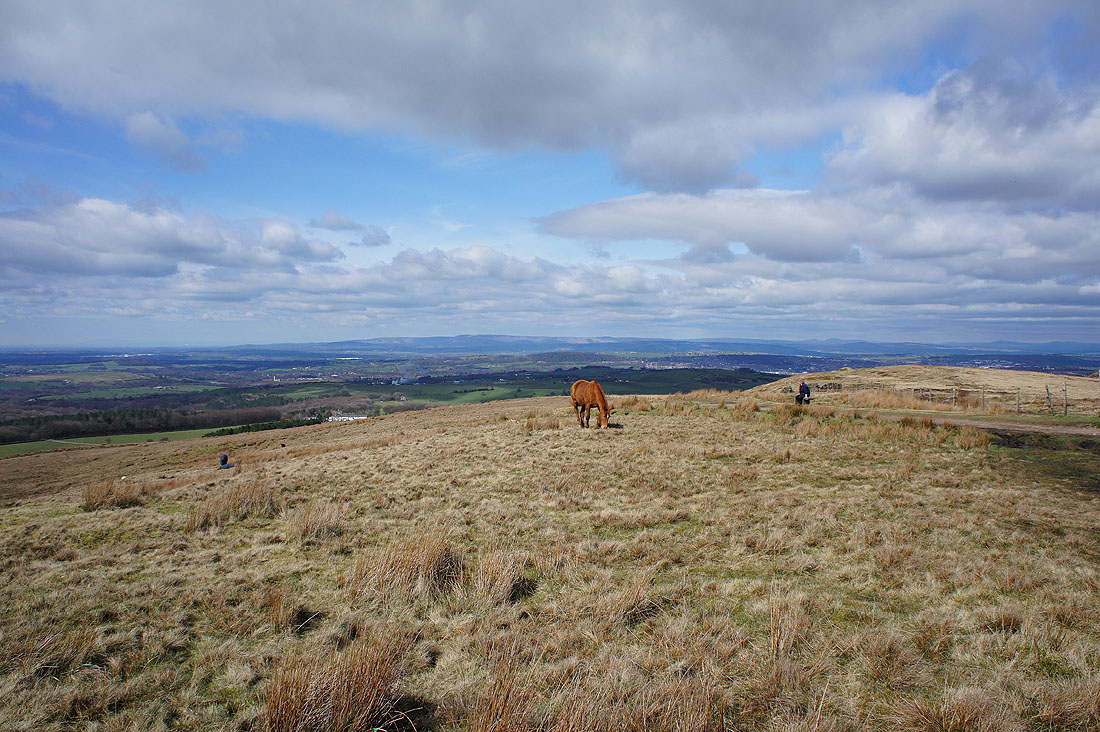
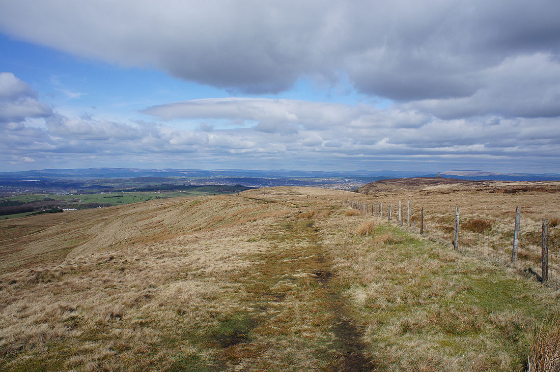
..the path of the Witton Weavers Way along the eastern side of Darwen Moor
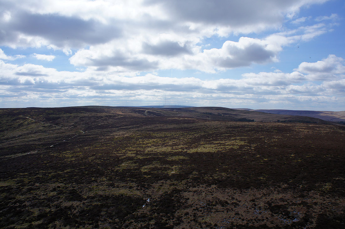
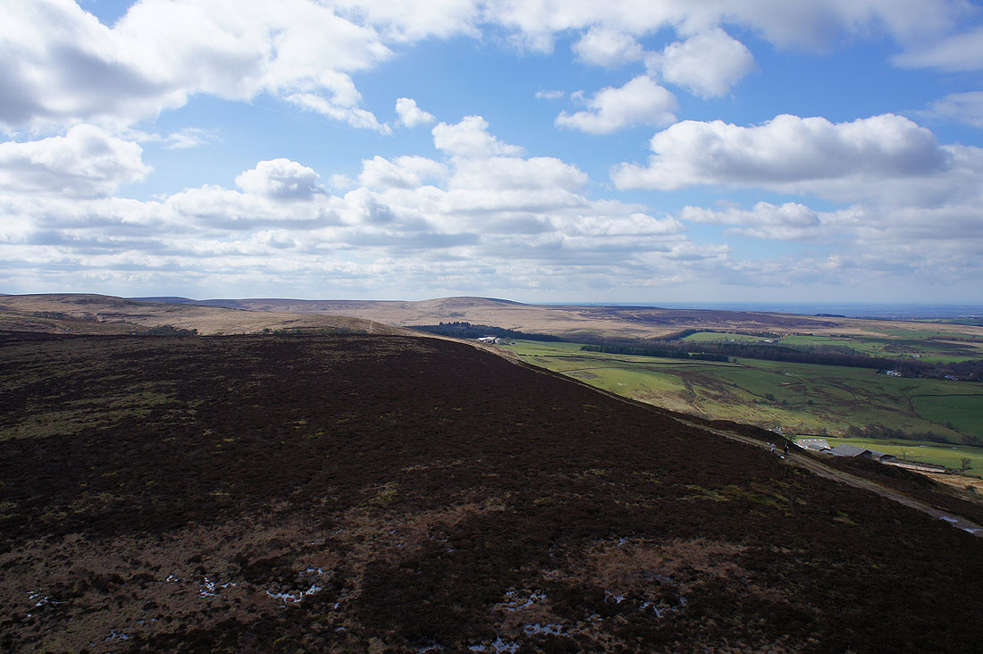
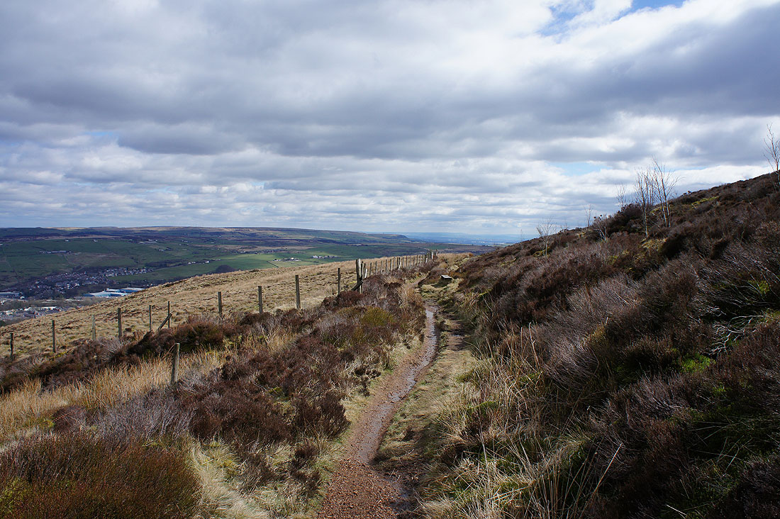
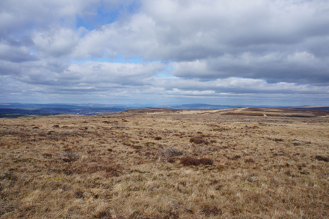
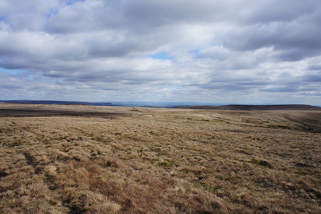
Crossing the top of the moor
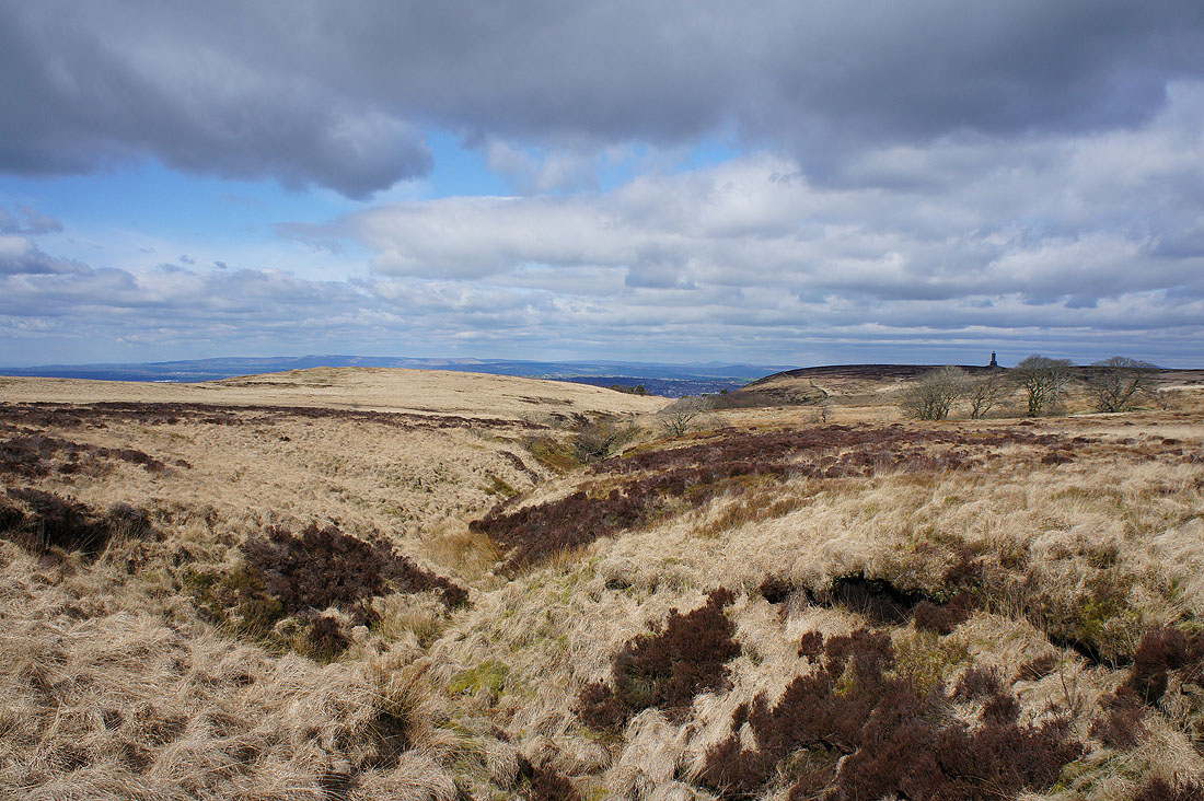
A colourful scene as I pass the top of Stepback Brook
Fantastic views as I leave the track behind and head up Cartridge Hill
The Forest of Bowland, Yorkshire Dales and Pendle Hill
Looking out to the coast around the Ribble estuary
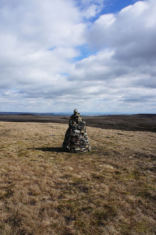
Someone has put some effort into building this handsome cairn
Cartridge Hill is the highest point of Darwen Moor by just a metre but it does overtop most of the moor by enough to give good all round views. To the northeast, the fells of the Yorkshire Dales and Pendle Hill.
Zooming in on Whernside and Ingleborough
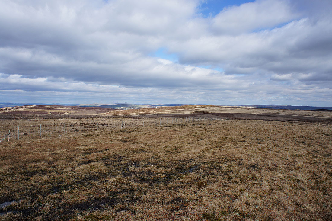
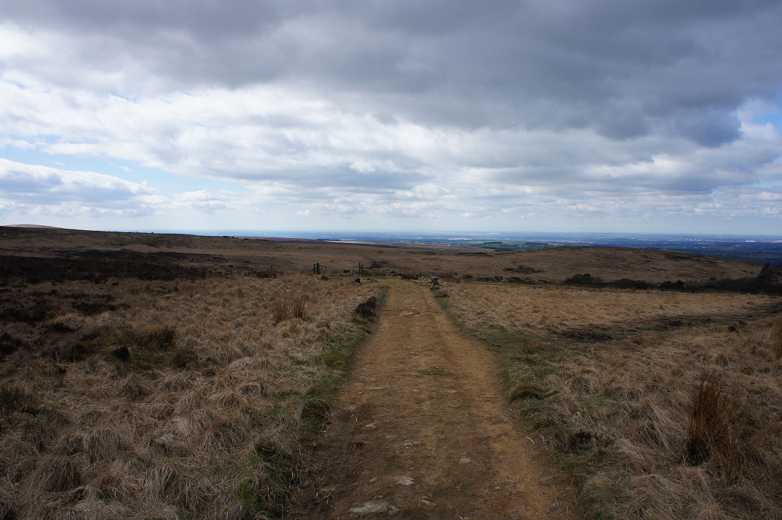
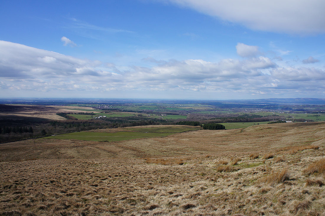
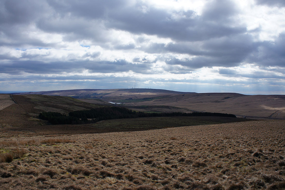
To the east, more of Darwen Moor
To the southeast, through a gap in the moors, the hills of the Peak District can be seen. I could make out the swells of Black Hill, Bleaklow and Kinder Scout.
Winter Hill to the south
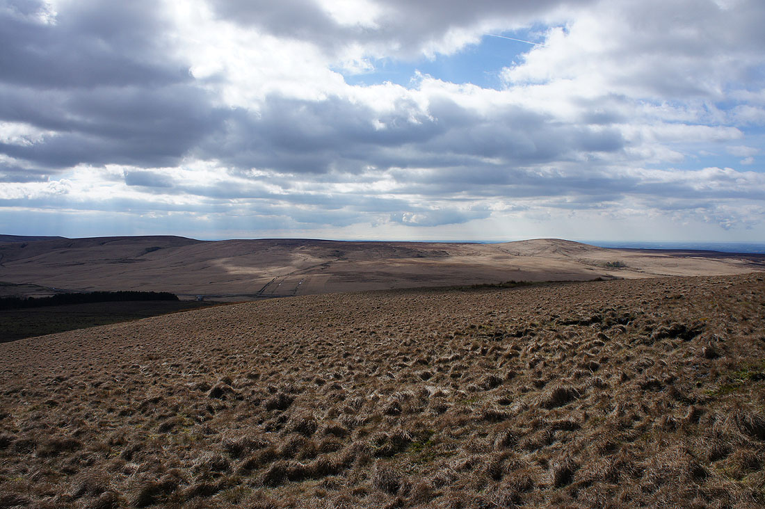
and finally to the southwest and west are Spitlers Edge and Great Hill on the other side of the Belmont Road
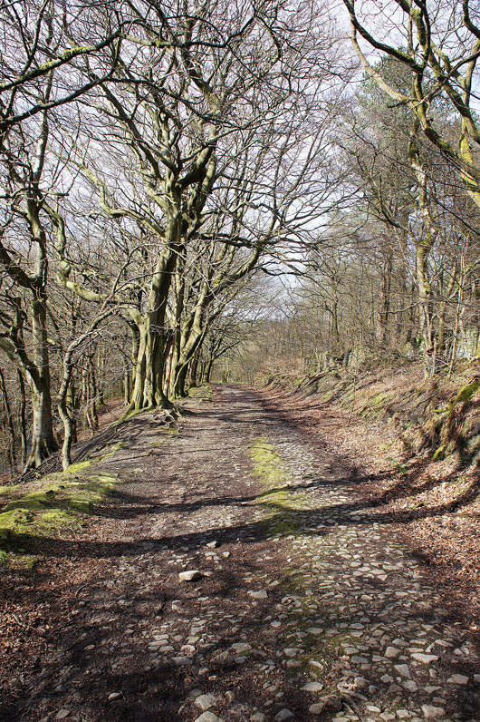
Walking through the woodland above the River Roddlesworth
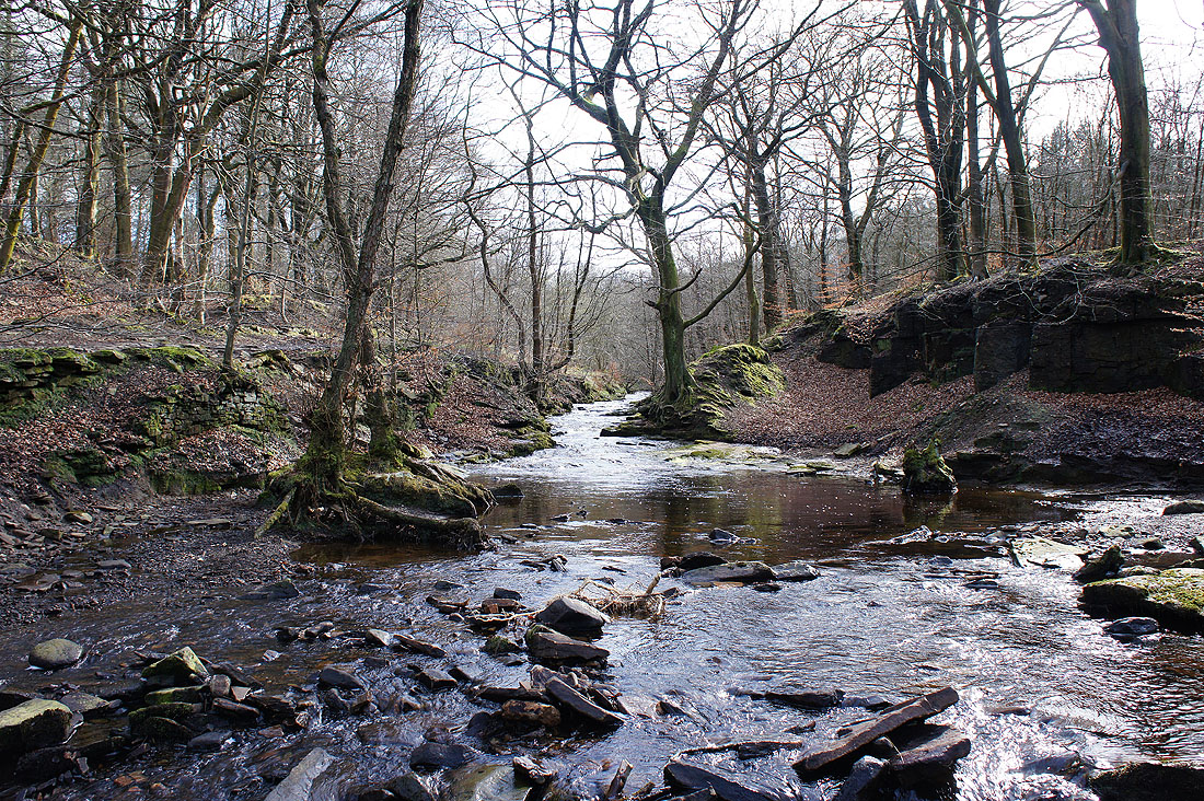
A final shot by the River Roddlesworth before I head up to the car park