4th April 2021 - Wheathead Height and Weets Hill
Walk Details
Distance walked: 13.1 miles
Total ascent: 2157 ft
OS map used: OL21 - South Pennines
Time taken: 6 hrs
Route description: Foulridge-B6251-Reedymoor Lane-Sand Hall-Slipper Hill Reservoir-Barnoldswick Road-Great Stonedge Farm-Beverley Road-Brownley Park-Blacko-Blacko Bar Road-Pendle Way-Wheathead Lane-Wheathead Height-Rimington Moor-Whytha Road-Middop Hall-Stocks Lane-Pennine Bridleway-Weets Hill-Lister Well Road-Copy Nook-High Lane-Booth House Farm-Hey Fold-Hey-Foulridge
I think I was a bit too keen in heading out for walk today, especially when there's a really nice day forecast for tomorrow. However, I couldn't resist the sight of blue skies and spring sunshine in the morning, which I thought was the story for the rest of the day. I decided on a route onto the moors to the west of where I live, it was their turn, setting off at about 1100. The sunshine didn't last though, and after passing through Blacko the skies filled with low cloud and covered the top of Pendle Hill. I did the rest of the walk under grey skies with limited brightness, and with a strong and cool breeze.
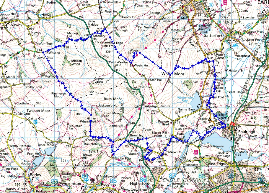
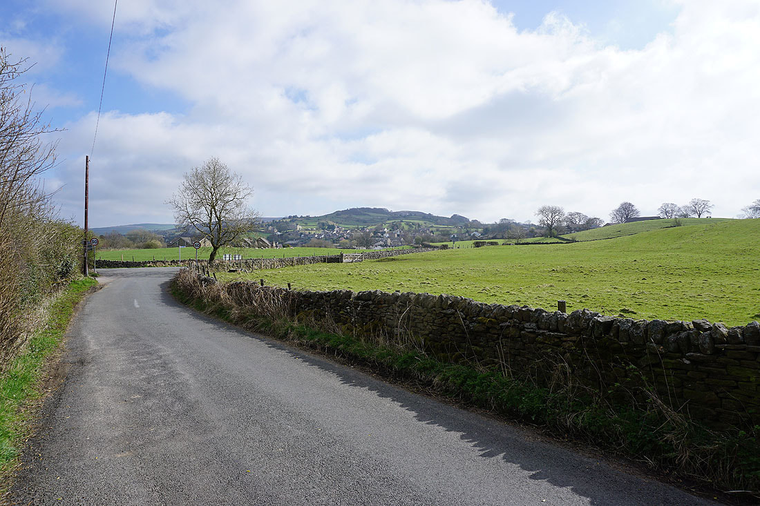
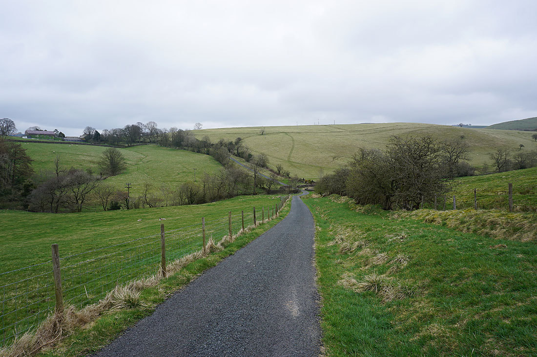
From where I live in Foulridge I walked up to and then west along the B6251, then along Reedymoor Lane to Foulridge Lower Reservoir. I then walked up the track to Sand Hall, took the footpath on the left past Slipper Hill Reservoir and to Slipper Hill, where I crossed the lane and took the footpath opposite past cottages and up the hillside to Barnoldswick Road. Instead of crossing the road I followed the footpath southwest by the road until I reached the junction of Beverley Road with Barnoldswick Road at the Cross Gaits Inn. I crossed the road and took the footpath opposite across fields to Great Stonedge Farm, turned right and briefly followed a track, then went straight on onto a footpath at a row of cottages. At the end of this I turned right and followed a footpath by fields to Beverley Road, then turned left and walked along Beverley Road until I reached the track to Blacko Hill Side Farm on the right. I walked up the track until it turned to the right, here I took a footpath on the left and followed it west across fields to reach the A682. After a brief walk west by the A682 I turned left and walked down Blacko Bar Road until I reached the bridge over Blacko Water, where I took the Pendle Way on the right, and followed this north to Wheathead Lane, which I walked up until I reached a track on the right opposite the track to Briercliffe Farm. I followed this track up onto Wheathead Height, then the footpath north across and down Rimington Moor to the track to Higher Gills Farm. After walking down this track I turned right and walked east along Whytha Road to Middop Hall, then along Stocks Lane to and across the A682 to reach the Pennine Bridleway. I then walked up the Pennine Bridleway to its top at Weets House Farm, where I left it and made my way up to the trig point on the summit of Weets Hill. From the top of Weets Hill I then followed a path southeast across access land to reach the bridleway of Lister Well Road. I turned left and followed Lister Well Road until I reached a footpath on the right, which I took down to Copy Nook and High Lane. I briefly walked south along High Lane to take the footpath on the other side of the road down to Booth House Farm, then followed a path south across fields, down to the bridge over County Brook and to County Brook Lane. I then briefly walked up County Brook Lane, took the footpath on the left and followed it over the little hill past Hullet Hall and then turned right and took the path to Hey Fold. From Hey Fold I then took a path south through Hey and to Whitemoor Road, where a path southeast down through fields to the end of Station Road in Foulridge saw me back home.
Total ascent: 2157 ft
OS map used: OL21 - South Pennines
Time taken: 6 hrs
Route description: Foulridge-B6251-Reedymoor Lane-Sand Hall-Slipper Hill Reservoir-Barnoldswick Road-Great Stonedge Farm-Beverley Road-Brownley Park-Blacko-Blacko Bar Road-Pendle Way-Wheathead Lane-Wheathead Height-Rimington Moor-Whytha Road-Middop Hall-Stocks Lane-Pennine Bridleway-Weets Hill-Lister Well Road-Copy Nook-High Lane-Booth House Farm-Hey Fold-Hey-Foulridge
I think I was a bit too keen in heading out for walk today, especially when there's a really nice day forecast for tomorrow. However, I couldn't resist the sight of blue skies and spring sunshine in the morning, which I thought was the story for the rest of the day. I decided on a route onto the moors to the west of where I live, it was their turn, setting off at about 1100. The sunshine didn't last though, and after passing through Blacko the skies filled with low cloud and covered the top of Pendle Hill. I did the rest of the walk under grey skies with limited brightness, and with a strong and cool breeze.
From where I live in Foulridge I walked up to and then west along the B6251, then along Reedymoor Lane to Foulridge Lower Reservoir. I then walked up the track to Sand Hall, took the footpath on the left past Slipper Hill Reservoir and to Slipper Hill, where I crossed the lane and took the footpath opposite past cottages and up the hillside to Barnoldswick Road. Instead of crossing the road I followed the footpath southwest by the road until I reached the junction of Beverley Road with Barnoldswick Road at the Cross Gaits Inn. I crossed the road and took the footpath opposite across fields to Great Stonedge Farm, turned right and briefly followed a track, then went straight on onto a footpath at a row of cottages. At the end of this I turned right and followed a footpath by fields to Beverley Road, then turned left and walked along Beverley Road until I reached the track to Blacko Hill Side Farm on the right. I walked up the track until it turned to the right, here I took a footpath on the left and followed it west across fields to reach the A682. After a brief walk west by the A682 I turned left and walked down Blacko Bar Road until I reached the bridge over Blacko Water, where I took the Pendle Way on the right, and followed this north to Wheathead Lane, which I walked up until I reached a track on the right opposite the track to Briercliffe Farm. I followed this track up onto Wheathead Height, then the footpath north across and down Rimington Moor to the track to Higher Gills Farm. After walking down this track I turned right and walked east along Whytha Road to Middop Hall, then along Stocks Lane to and across the A682 to reach the Pennine Bridleway. I then walked up the Pennine Bridleway to its top at Weets House Farm, where I left it and made my way up to the trig point on the summit of Weets Hill. From the top of Weets Hill I then followed a path southeast across access land to reach the bridleway of Lister Well Road. I turned left and followed Lister Well Road until I reached a footpath on the right, which I took down to Copy Nook and High Lane. I briefly walked south along High Lane to take the footpath on the other side of the road down to Booth House Farm, then followed a path south across fields, down to the bridge over County Brook and to County Brook Lane. I then briefly walked up County Brook Lane, took the footpath on the left and followed it over the little hill past Hullet Hall and then turned right and took the path to Hey Fold. From Hey Fold I then took a path south through Hey and to Whitemoor Road, where a path southeast down through fields to the end of Station Road in Foulridge saw me back home.
Route map
© Crown copyright. All rights reserved. License number PU 100034184.
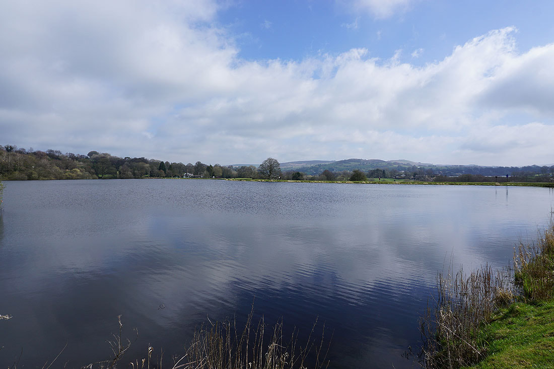
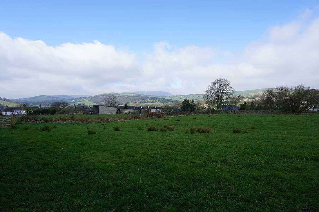
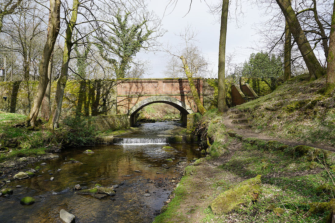
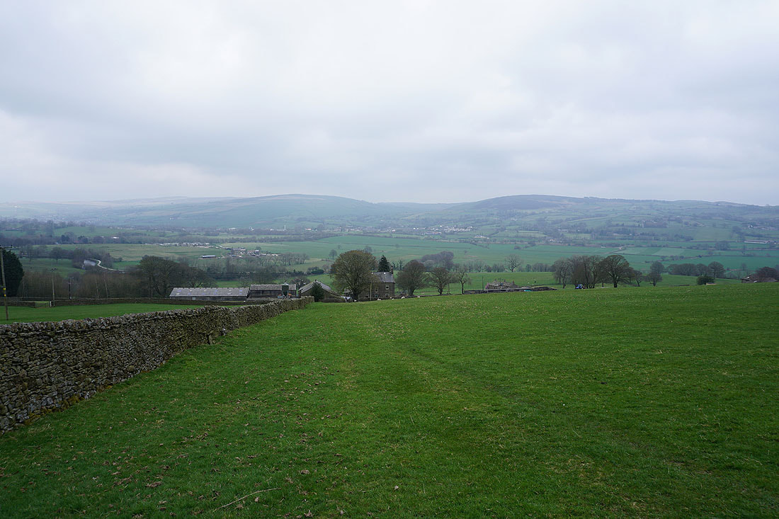
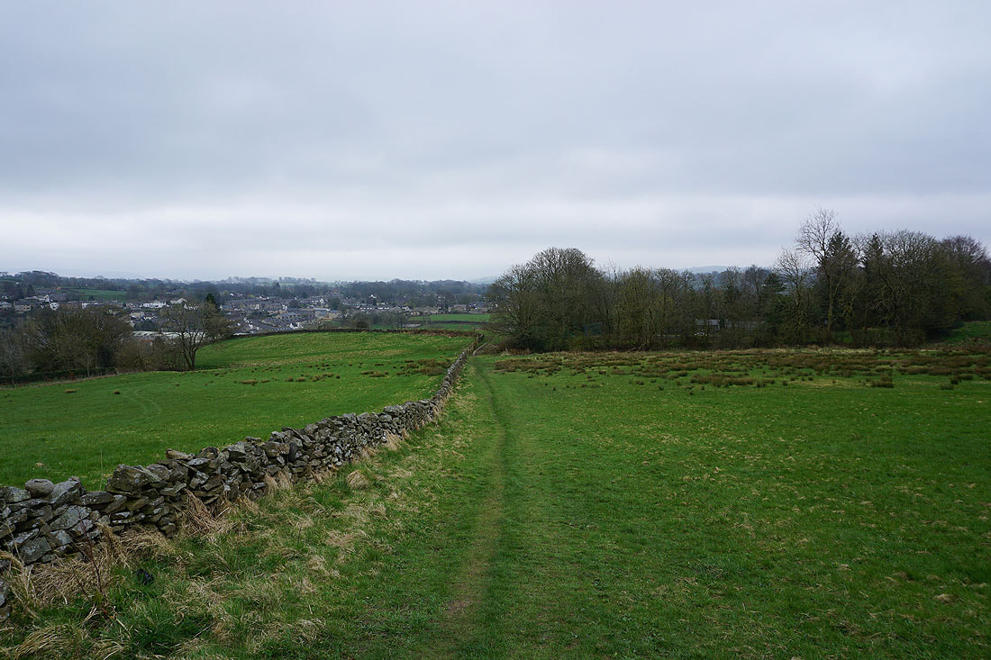
Foulridge beneath Noyna Hill
Past Sand Hall
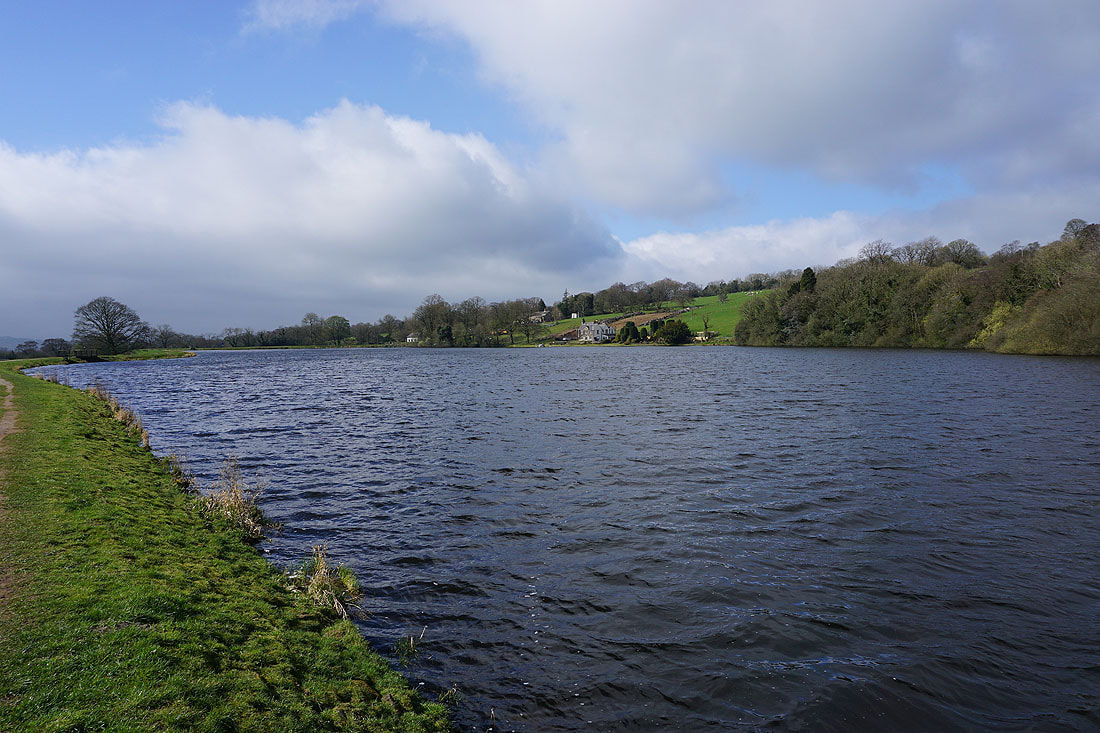
Making my way round Slipper Hill Reservoir..
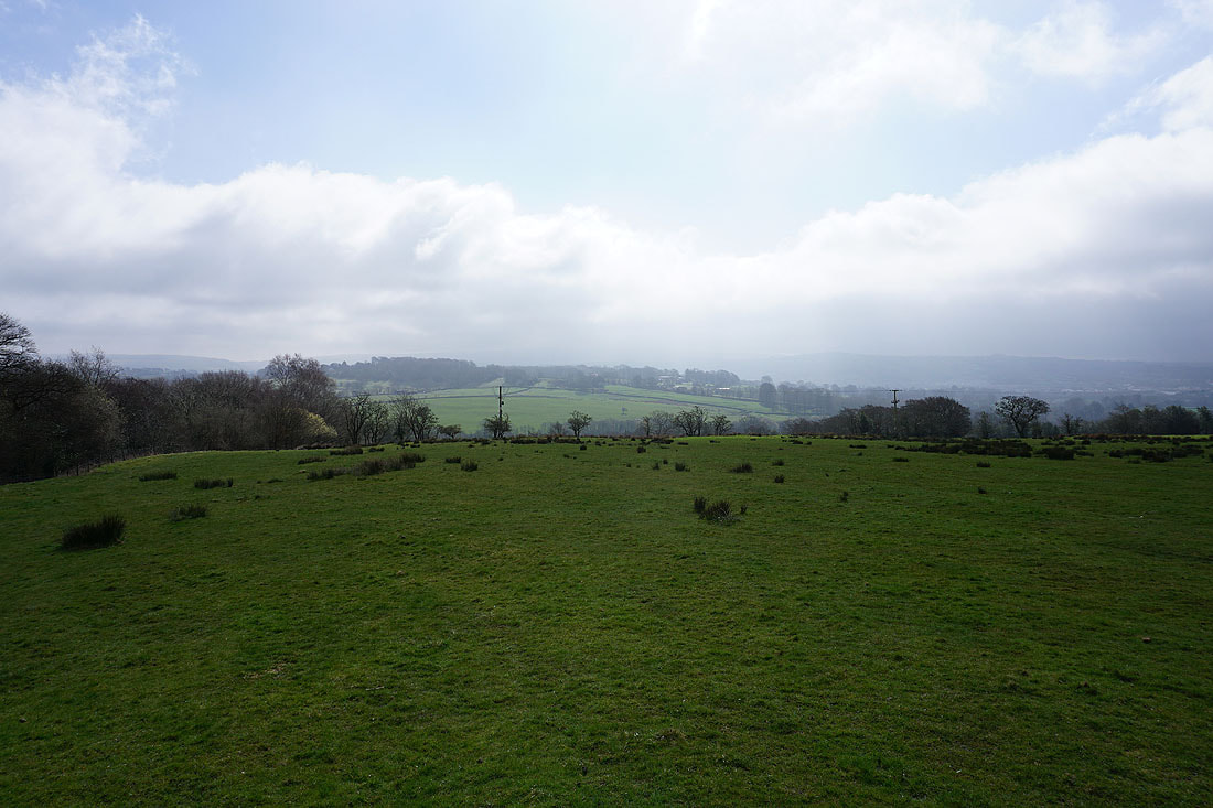
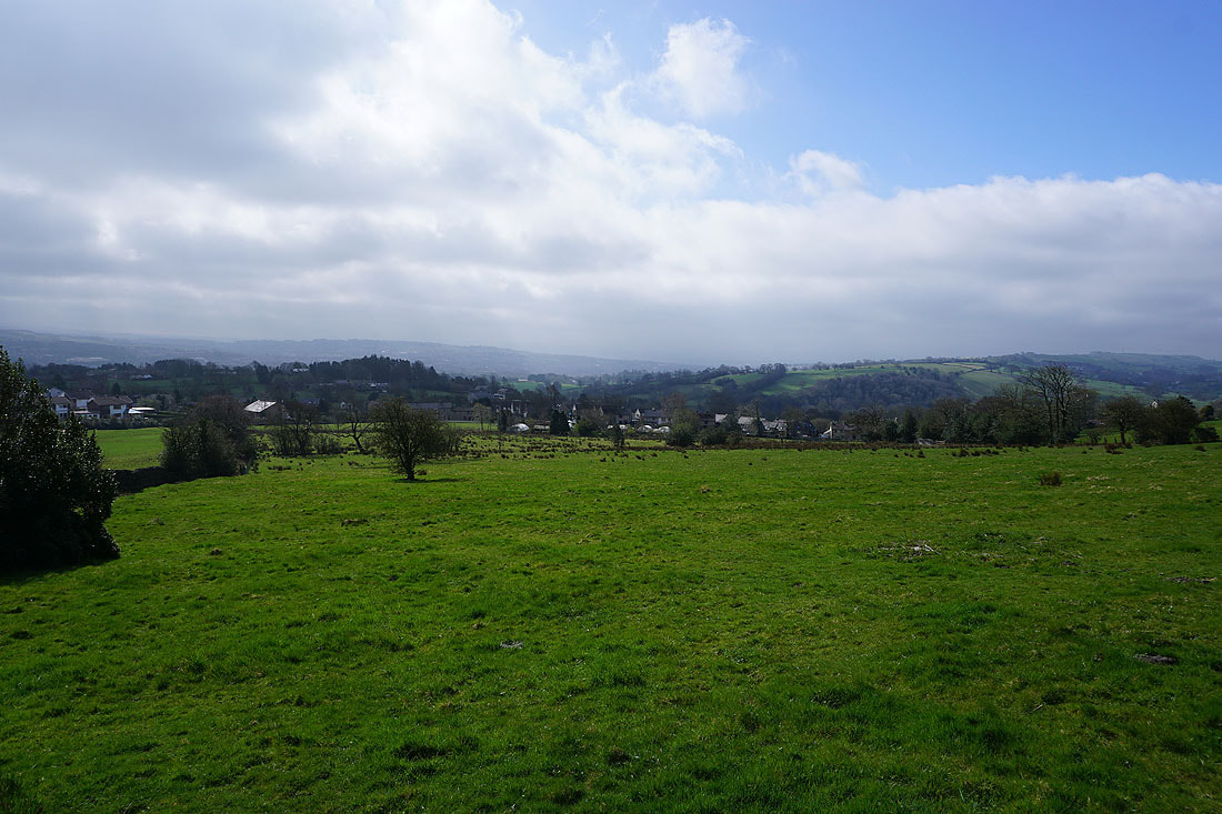
Murky skies to the south..
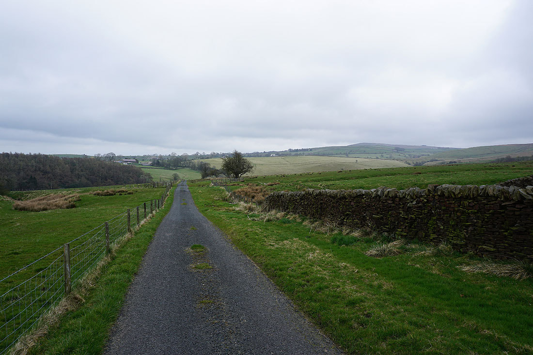
..as I follow the path by Barnoldswick Road towards Blacko
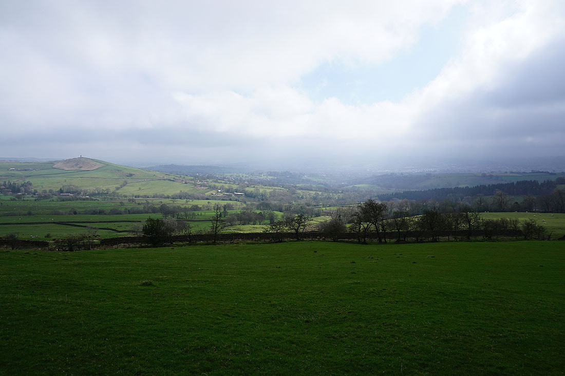
Pendle Hill and Wheathead Height from Great Stonedge Farm
Pendle Hill from Blacko. That low cloud isn't clearing.
Looking south across the roofs of Blacko
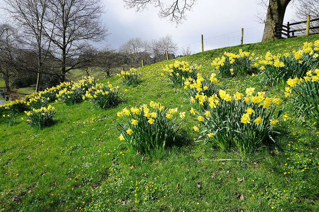
A fine display of daffodils by Blacko Bar Road
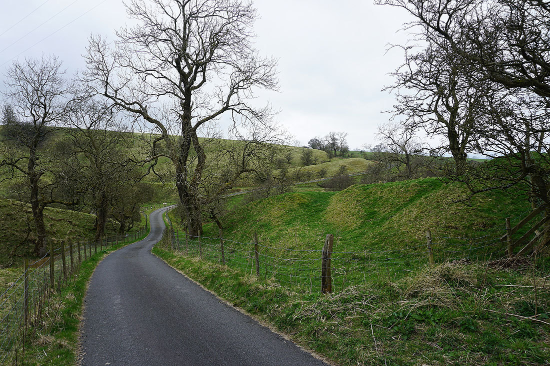
Briefly on the Pendle Way from Blacko Bar Road to Wheathead Lane..
Sunshine on Blacko Hill and Blacko as I follow the track up onto Wheathead Height
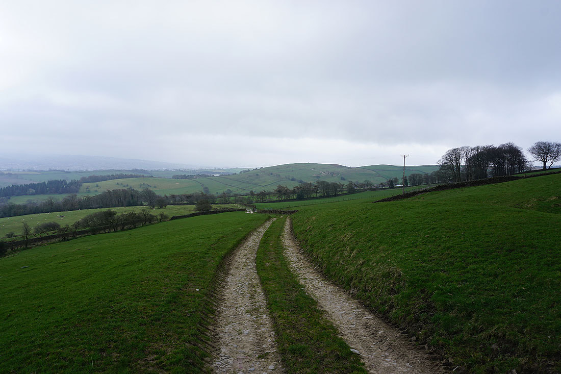
Looking back along the track to Brown Hill
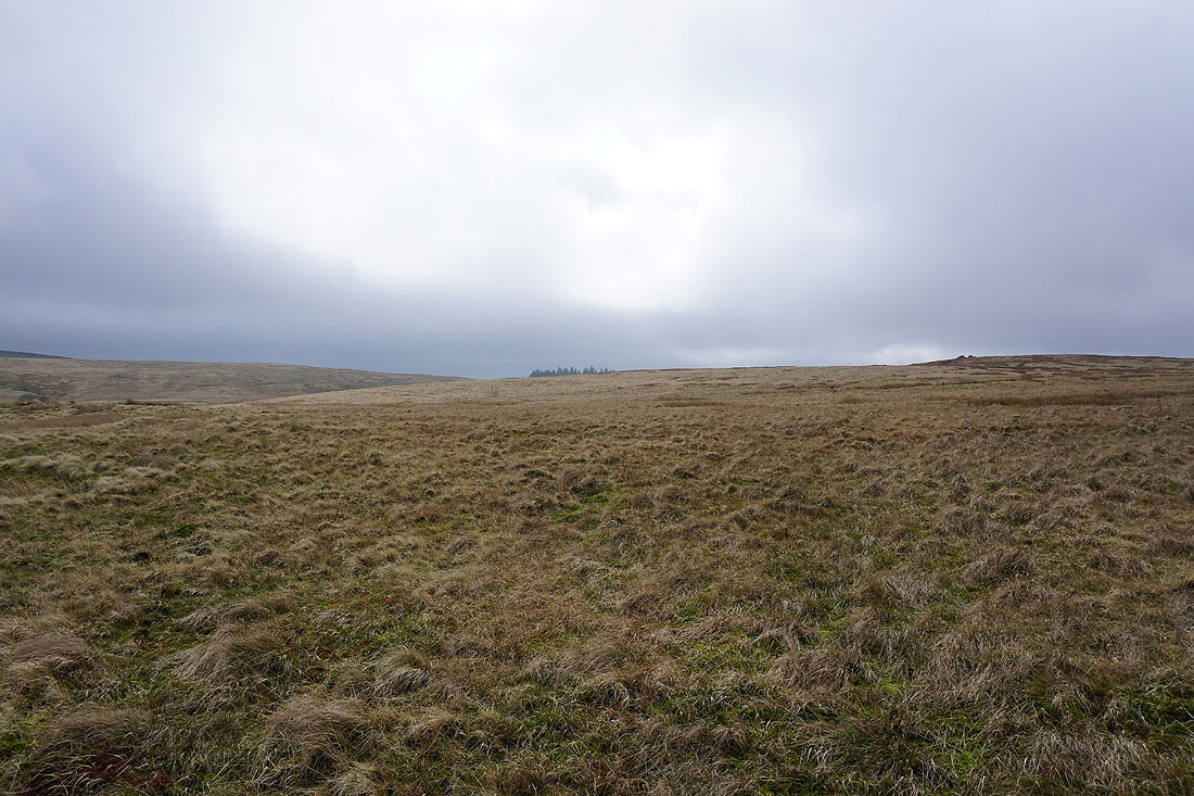
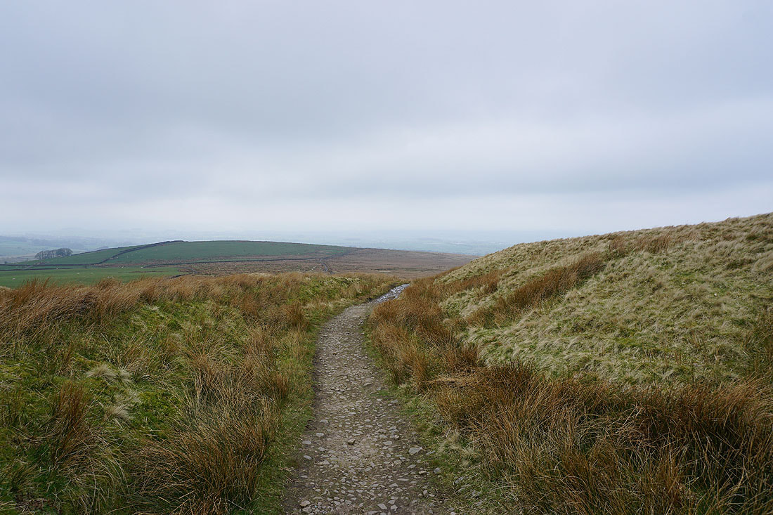
The sunshine is disappearing as I make it up onto Wheathead Height
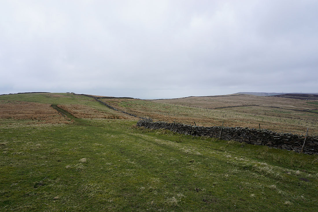
On Wheathead Height
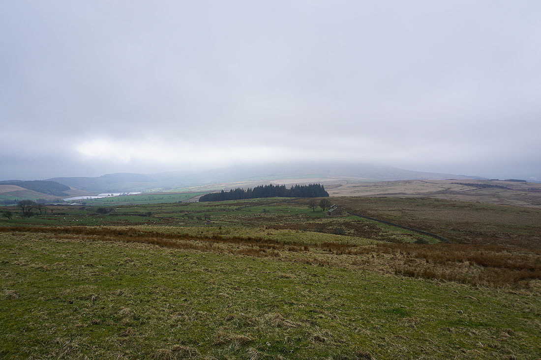
The Black Moss Reservoirs and a cloud covered Pendle Hill
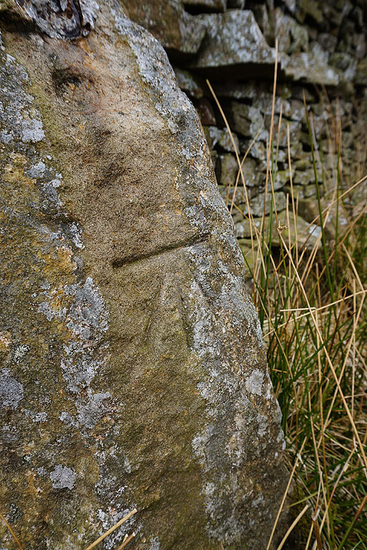
OS benchmark on a gatepost by the stile onto Rimington Moor. Once you start noticing them they seem to be everywhere.
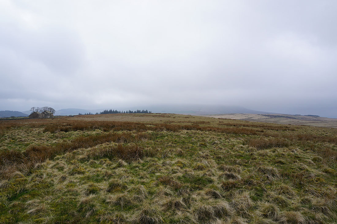
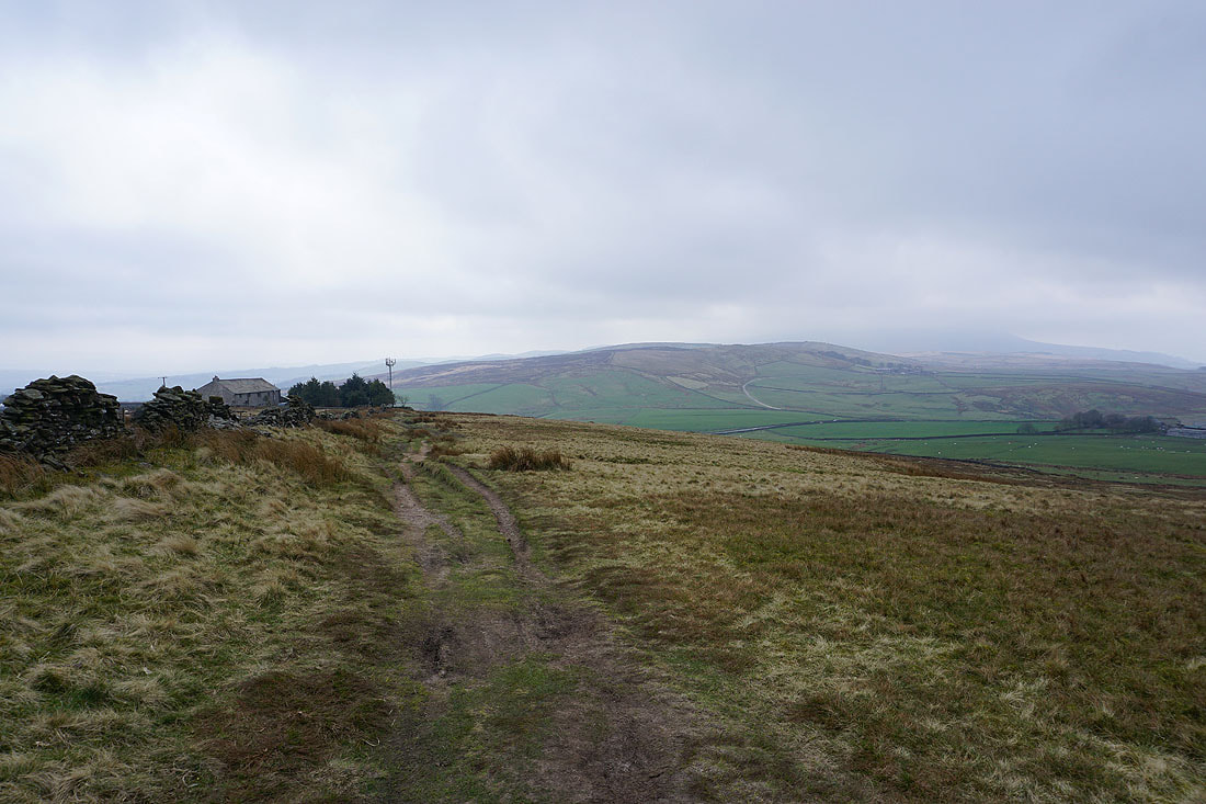
The ruins of Firber House and Pendle Hill from Rimington Moor
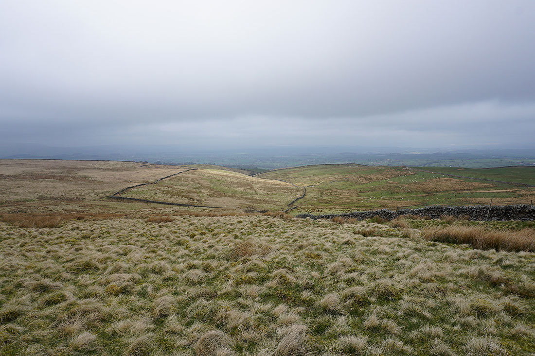
Looking north to the Ribble Valley from Rimington Moor
While I'm sat having my lunch the sun tries to break through..
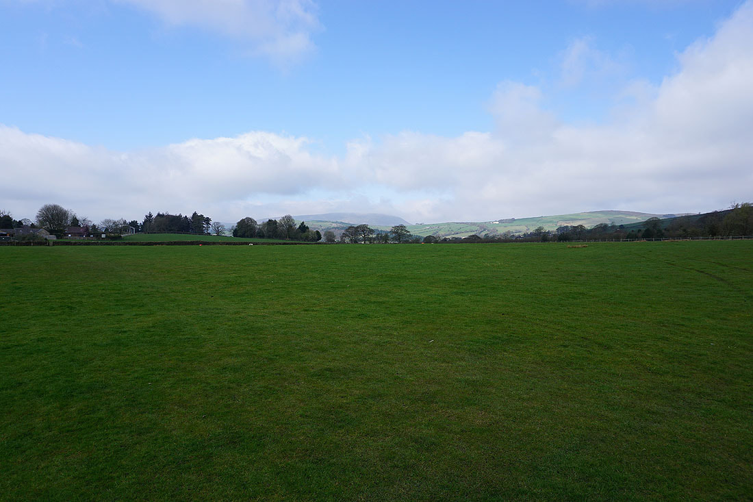
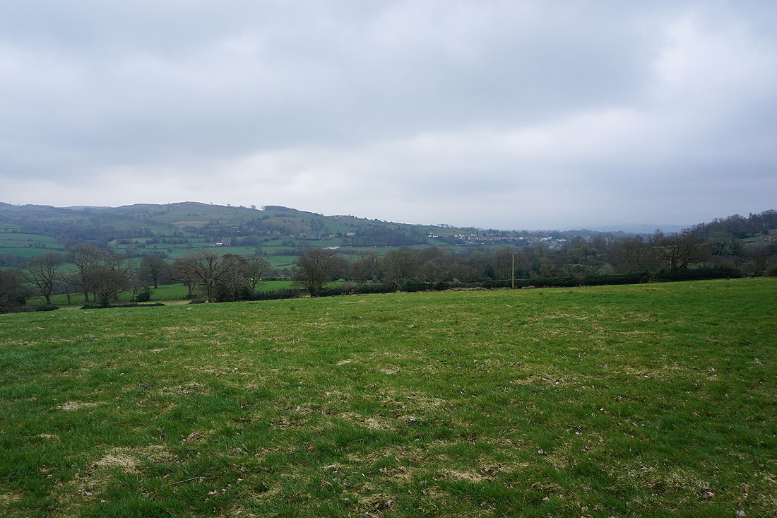
Looking north across the Ribble Valley..
..as I walk east along Whytha Road..
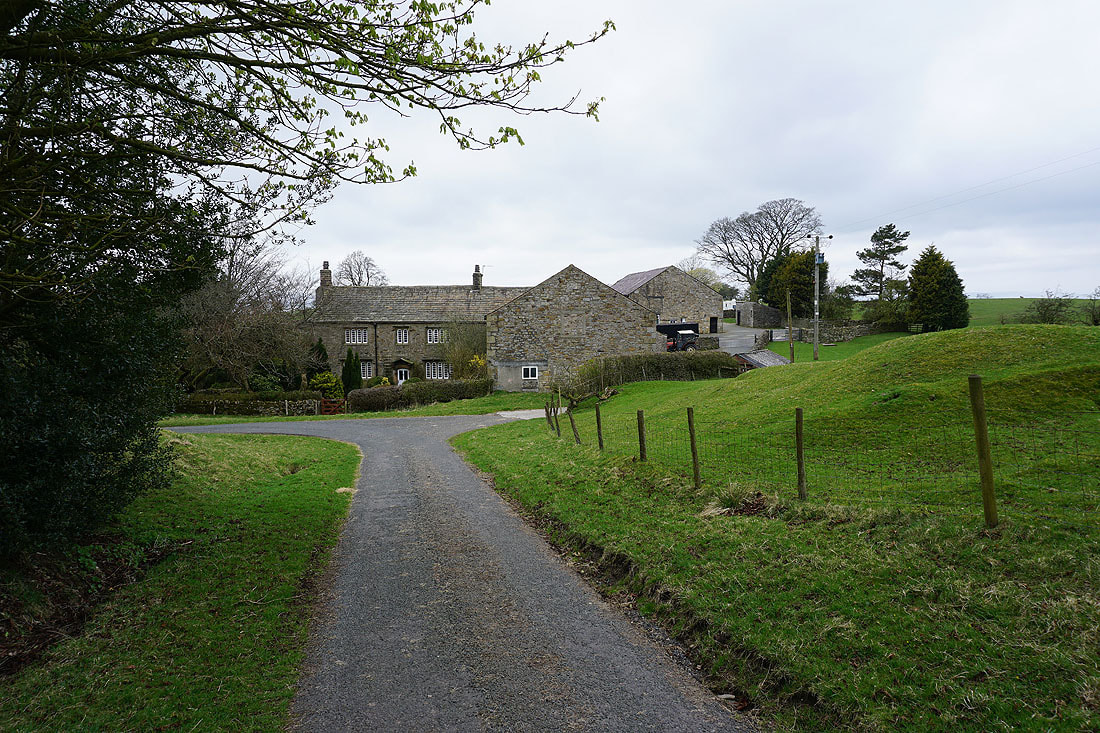
..to Middop Hall
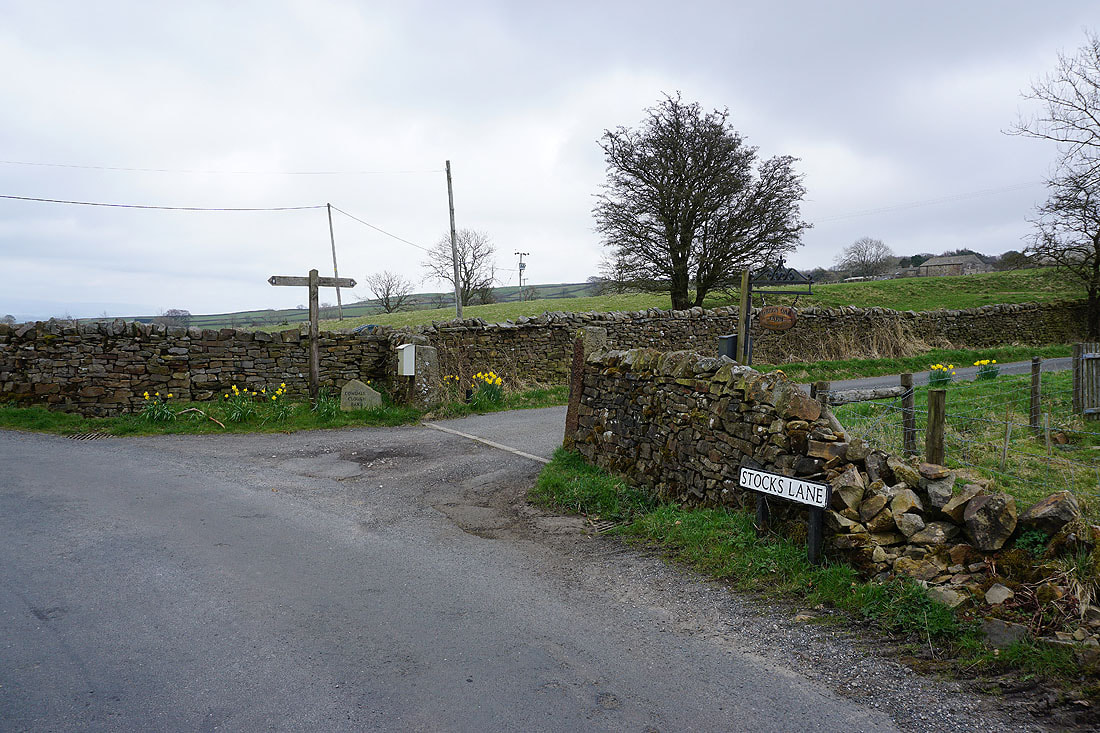
The cloud is lifting on Pendle Hill as I look back along Stocks Lane
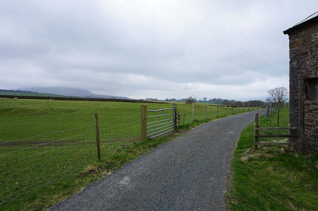
Looking back along Stocks Lane as I walk along it up to the A682
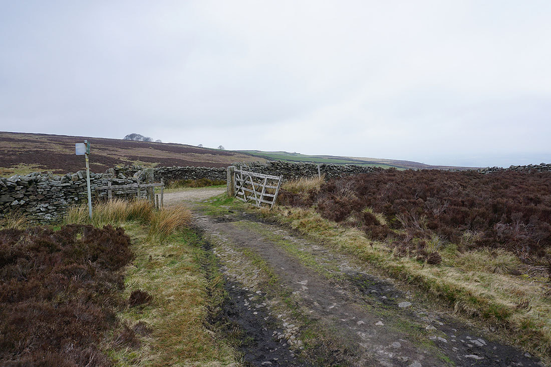
At the end of Stocks Lane and I turn right onto the Pennine Bridleway
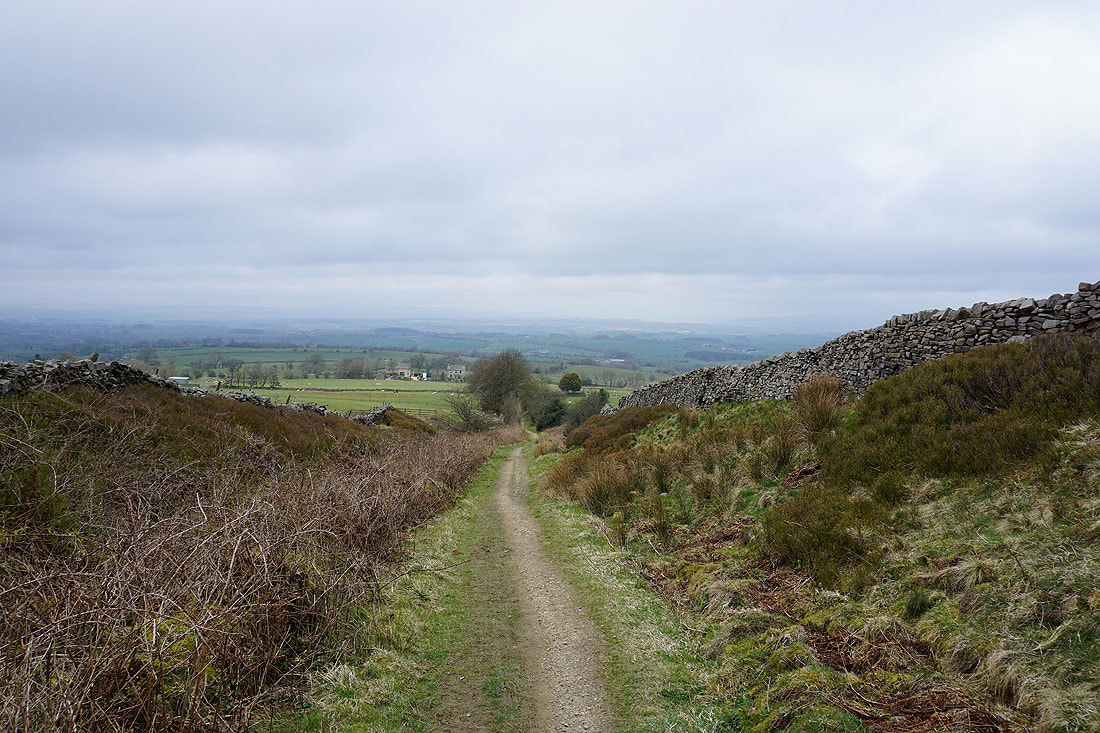
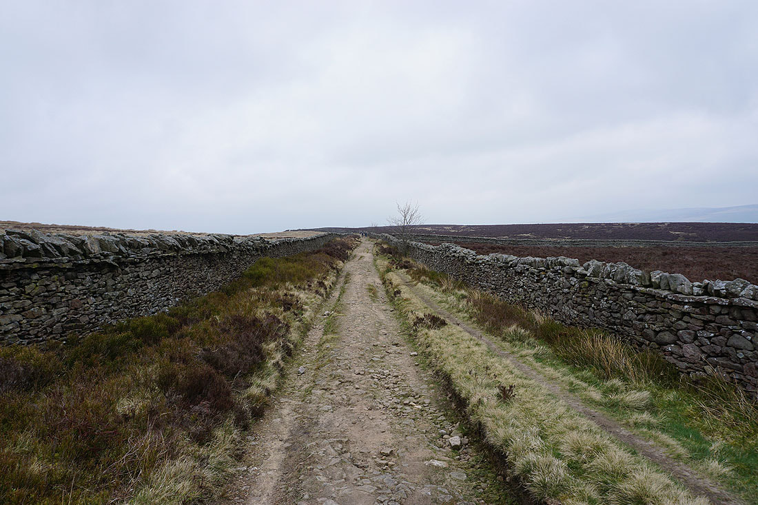
Looking north along the Pennine Bridleway
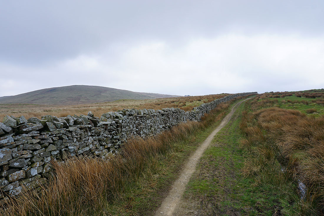
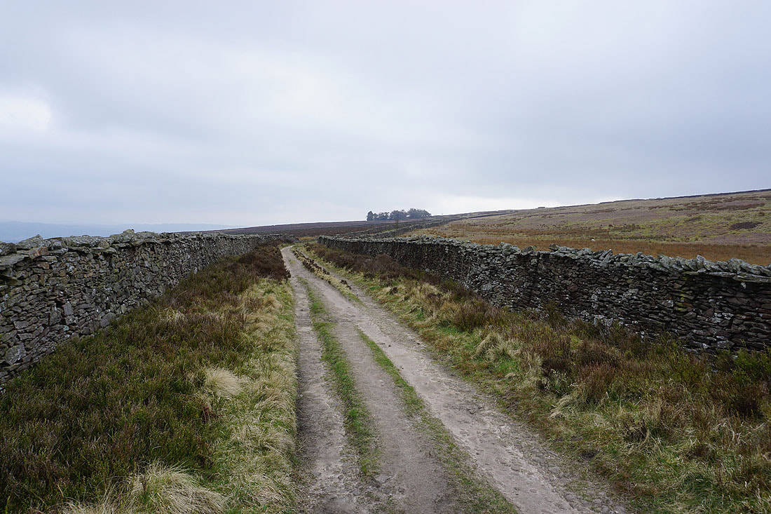
Weets Hill on the left as I head uphill
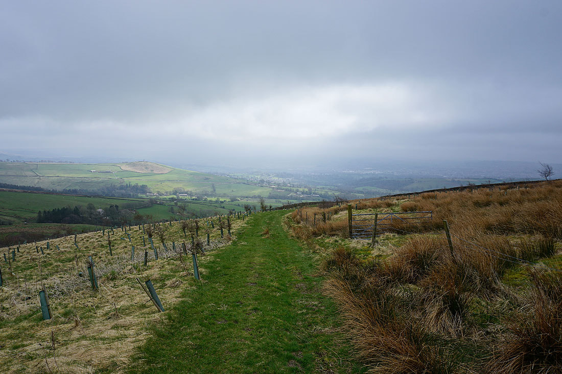
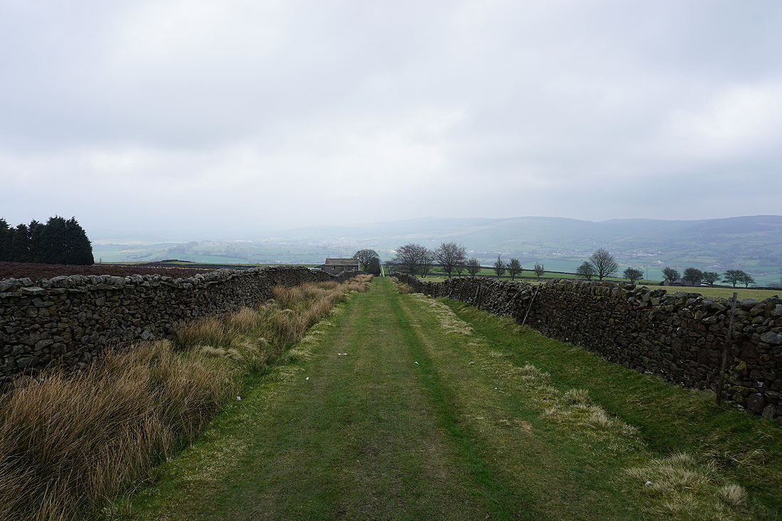
Looking north to the Ribble Valley as I reach the top of Pennine Bridleway
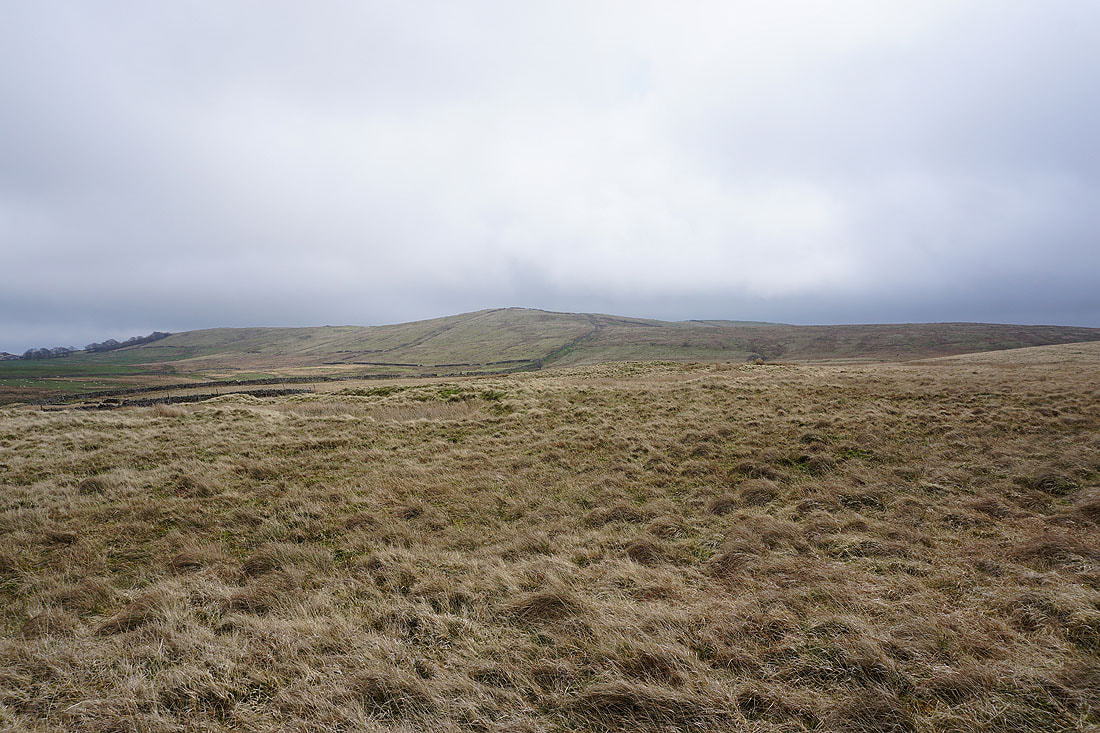
Wheathead Height, Rimington Moor and a cloud covered Pendle Hill to the southwest from Weets Hill..
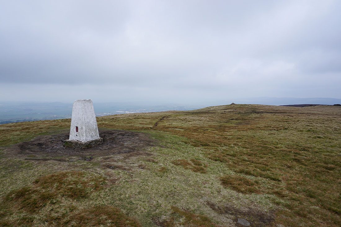
At the trig point on Weets Hill. The low cloud means that the view isn't up to much.
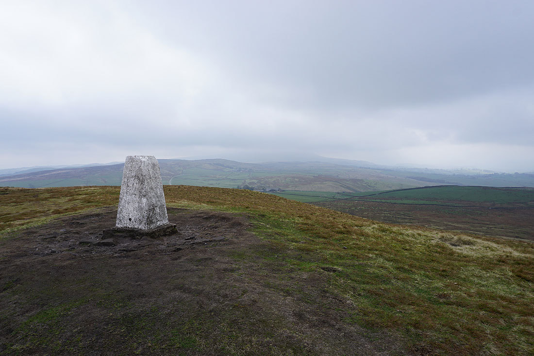
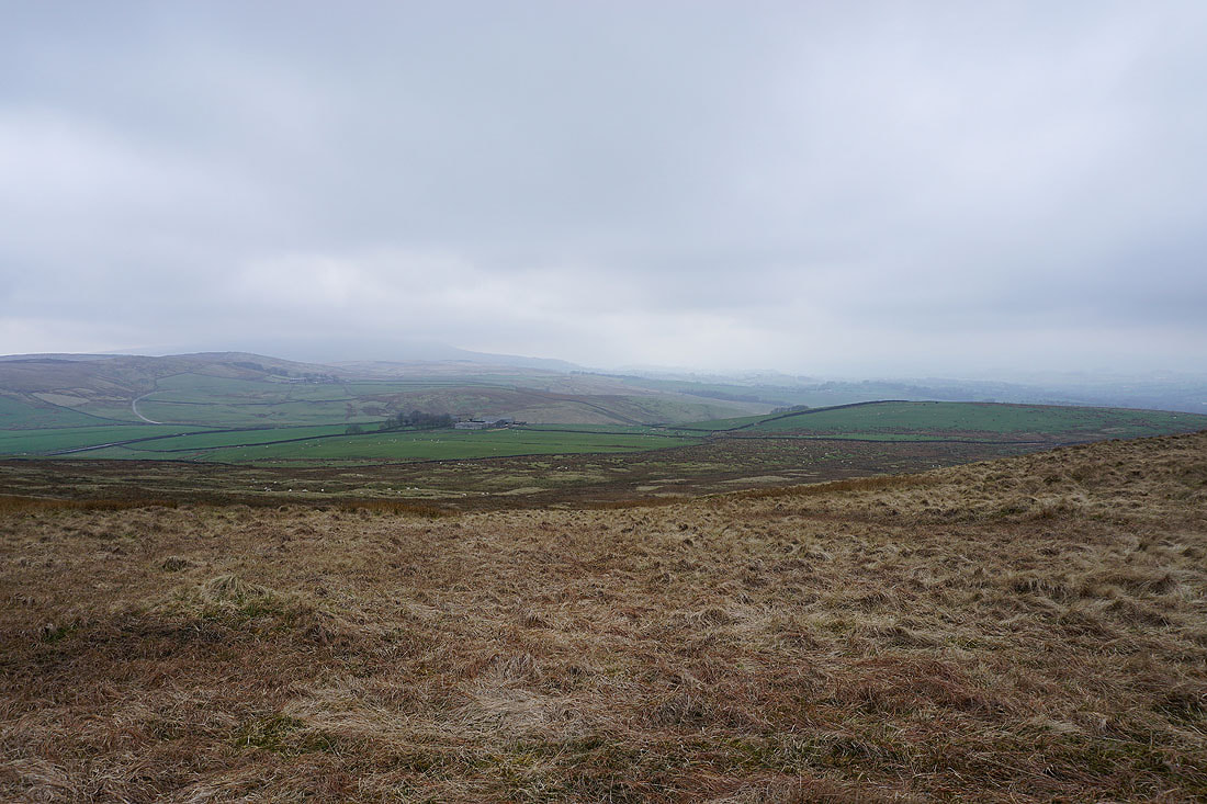
A cloud covered Pendle Hill to the southwest
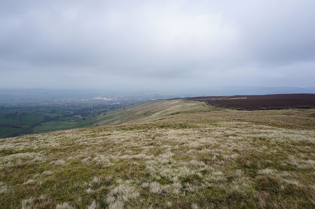
The town of Barnoldswick below
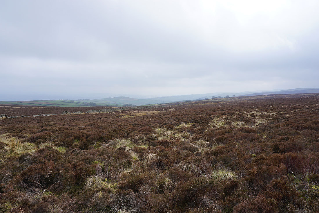
Looking across the heather covered moor to Blacko Hill
Crossing the moor to Lister Well Road
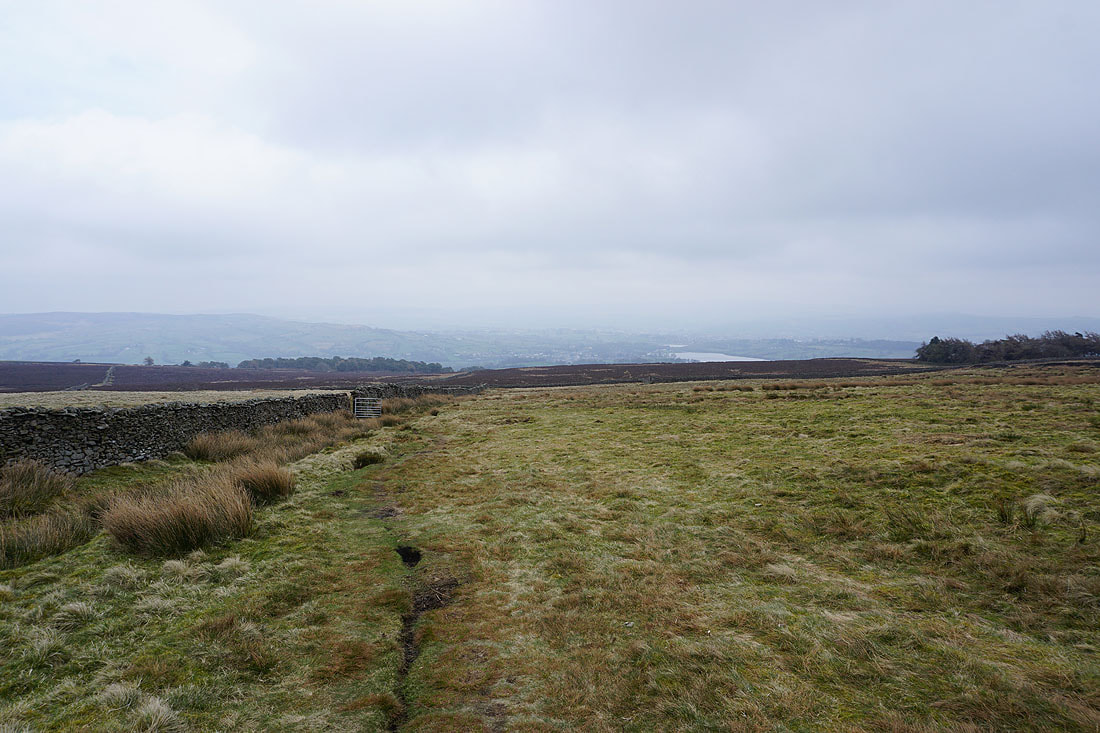
Heading north along Lister Well Road
Looking back along Lister Well Road
The bridleway of Lister Well Road is left behind for the footpath down to High Lane..
Bleara Moor and Kelbrook Moor from above Booth House Farm
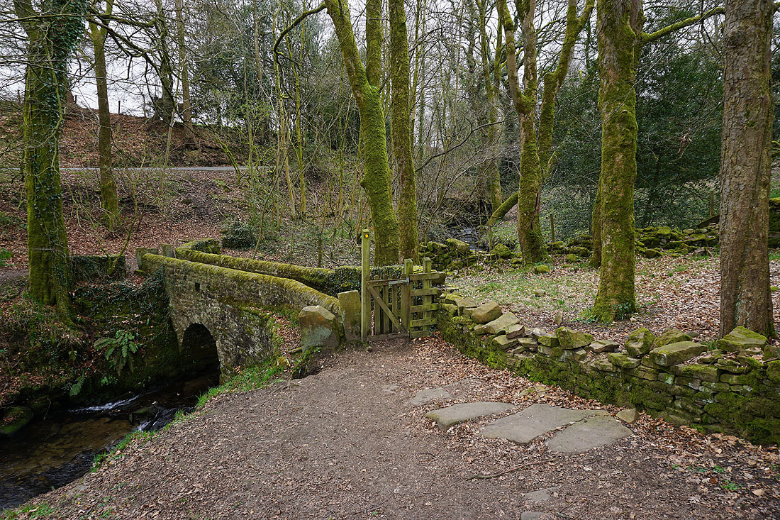
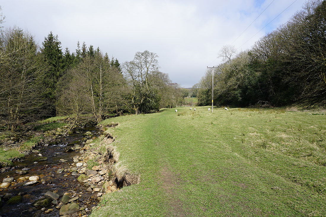
Across the footbridge over County Brook
Noyna Hill..
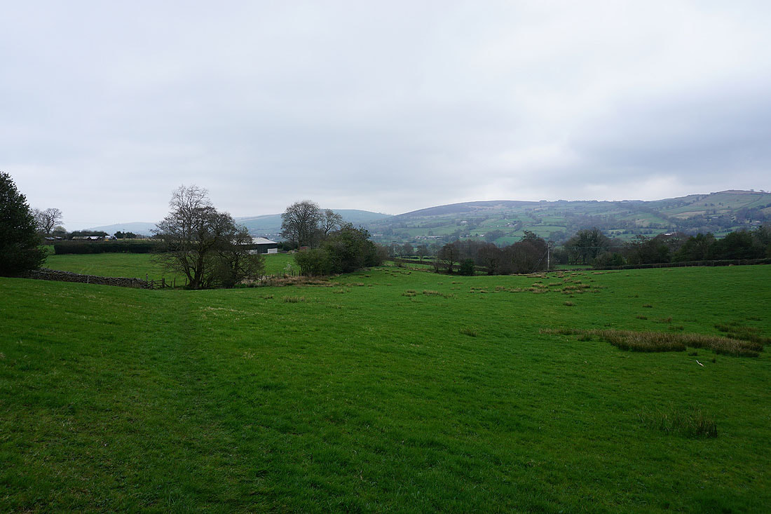
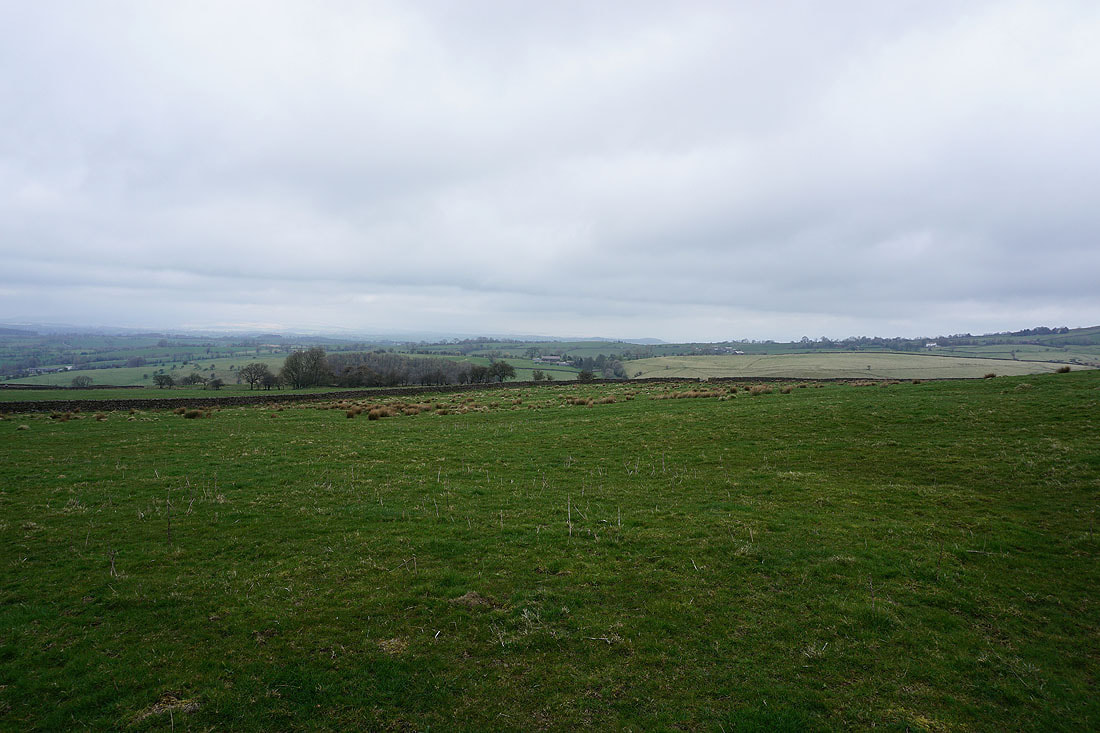
..and Bleara Moor and Kelbrook Moor as I follow paths back to Foulridge
Heading down to Foulridge and home