4th August 2018 - Anglezarke Moor
Walk Details
Distance walked: 8.6 miles
Total ascent: 1362 ft
OS map used: 287 - West Pennine Moors
Time taken: 4 hrs
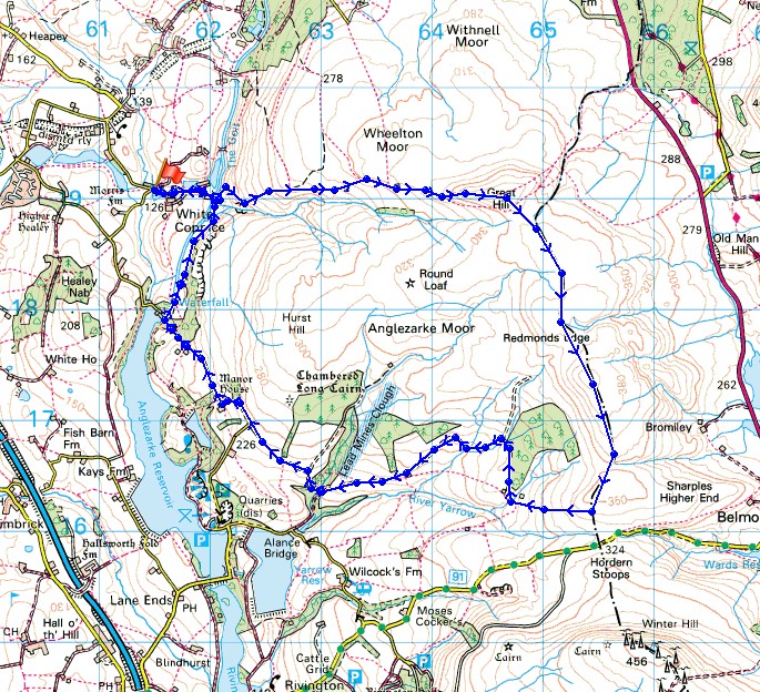
Route description: White Coppice-Drinkwaters-Great Hill-Spitlers Edge-Hordern Pasture-Lower Hempshaw's-Lead Mines Clough-Jepson's Gate-Moor Road-Stronstrey Bank-White Coppice
Summer is back! I hadn't originally planned on heading out on a walk today but I couldn't resist the lure of those sunny skies so I drove around to White Coppice near Chorley after lunchtime for a walk across Anglezarke Moor. It's one that I've done several times during the last few years and really enjoy. I decided to go the other round from the last time in March so that I could have my lunch at the shelter on Great Hill.
From the hamlet of White Coppice I made my way past the cricket club, over the catchwater drain of The Goit and up the path to Great Hill. Once on I'd had my lunch on Great Hill I took the flagged path south across Spitlers Edge and over Hordern Pasture. On the way down I turned right onto the path to the ruins at Lower Hempshaw's. I didn't stay on the public footpath when I reached Lower Hempshaw's however (it doesn't seem to exist on the ground), the track that winds its way across the hillside from here and down to Lead Mines Clough is much easier to follow. After crossing the bridge in Lead Mines Clough I made my way up the bridleway and across the hillside to Jepson's Gate. I then walked north along Moor Road down to where The Goit enters Anglezarke Reservoir, where a walk along the path beneath Stronstrey Bank brought me back to White Coppice.
Total ascent: 1362 ft
OS map used: 287 - West Pennine Moors
Time taken: 4 hrs
Route description: White Coppice-Drinkwaters-Great Hill-Spitlers Edge-Hordern Pasture-Lower Hempshaw's-Lead Mines Clough-Jepson's Gate-Moor Road-Stronstrey Bank-White Coppice
Summer is back! I hadn't originally planned on heading out on a walk today but I couldn't resist the lure of those sunny skies so I drove around to White Coppice near Chorley after lunchtime for a walk across Anglezarke Moor. It's one that I've done several times during the last few years and really enjoy. I decided to go the other round from the last time in March so that I could have my lunch at the shelter on Great Hill.
From the hamlet of White Coppice I made my way past the cricket club, over the catchwater drain of The Goit and up the path to Great Hill. Once on I'd had my lunch on Great Hill I took the flagged path south across Spitlers Edge and over Hordern Pasture. On the way down I turned right onto the path to the ruins at Lower Hempshaw's. I didn't stay on the public footpath when I reached Lower Hempshaw's however (it doesn't seem to exist on the ground), the track that winds its way across the hillside from here and down to Lead Mines Clough is much easier to follow. After crossing the bridge in Lead Mines Clough I made my way up the bridleway and across the hillside to Jepson's Gate. I then walked north along Moor Road down to where The Goit enters Anglezarke Reservoir, where a walk along the path beneath Stronstrey Bank brought me back to White Coppice.
Route map
© Crown copyright. All rights reserved. License number PU 100034184.
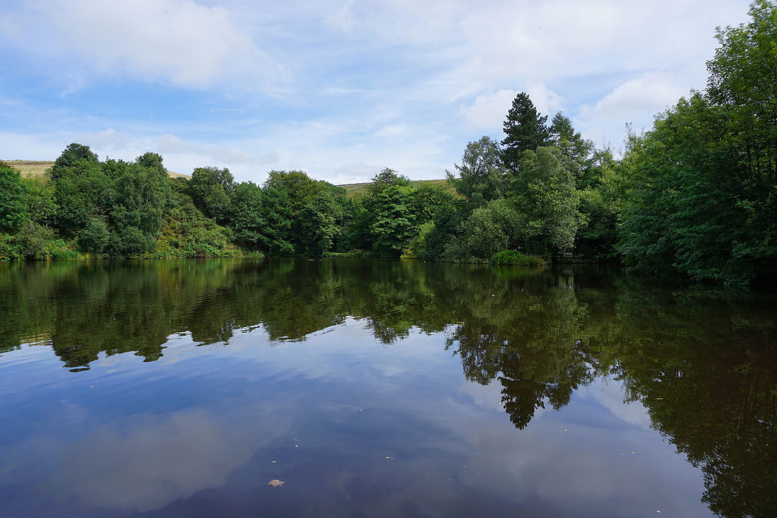
Reflections in one of the fishing lodges at White Coppice as I set off
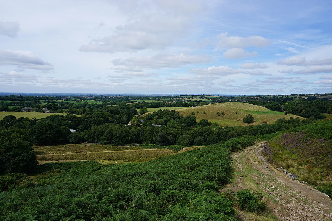
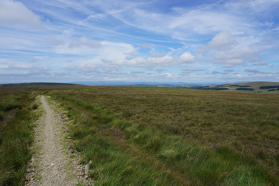
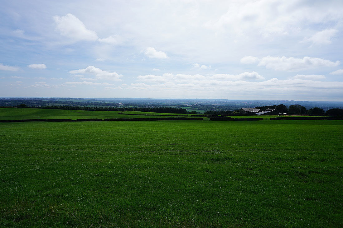
Expanding views across the Lancashire countryside as I follow the path up Great Hill..
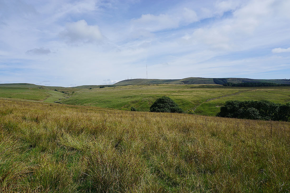
The moors look great this afternoon...
Looking out towards the coast as I join the footpath from Brinscall
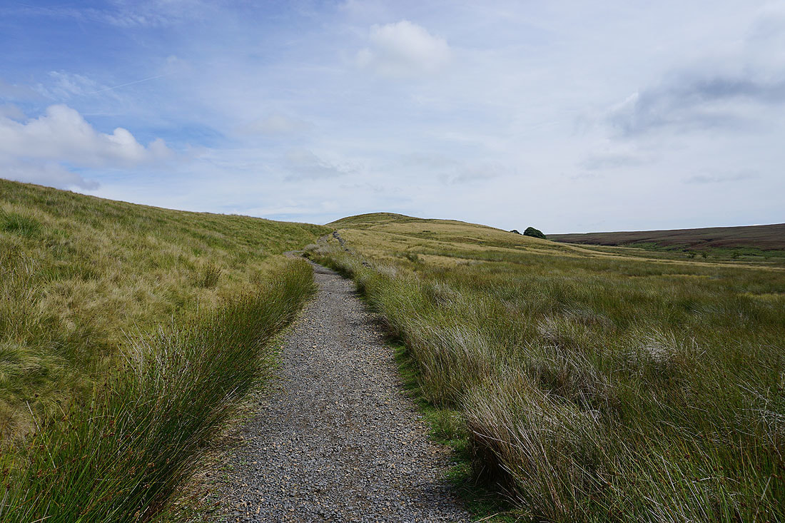
The final climb to the top of Great Hill
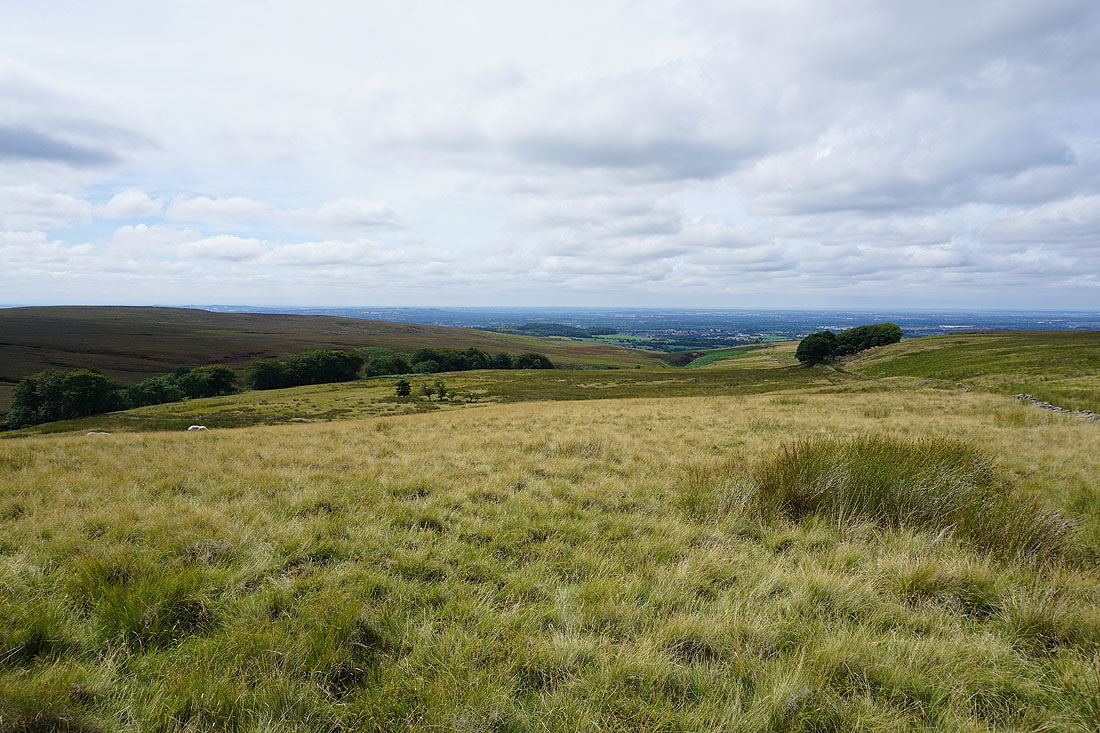
Looking down the valley of Dean Black Brook towards Chorley
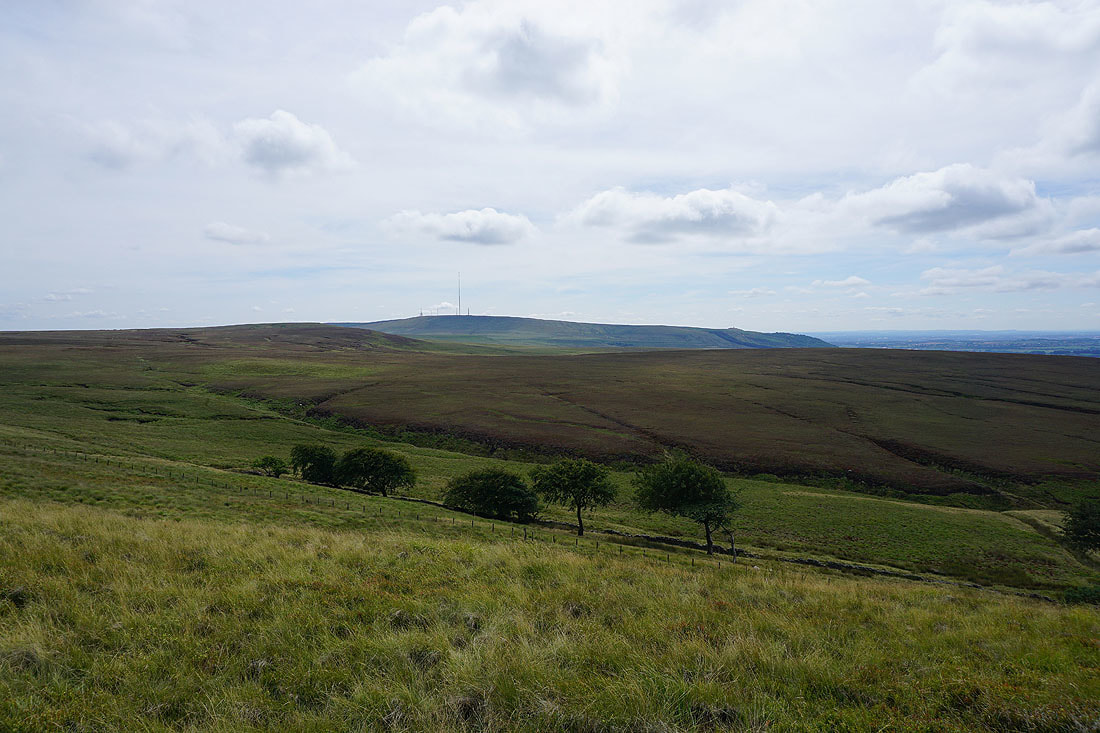
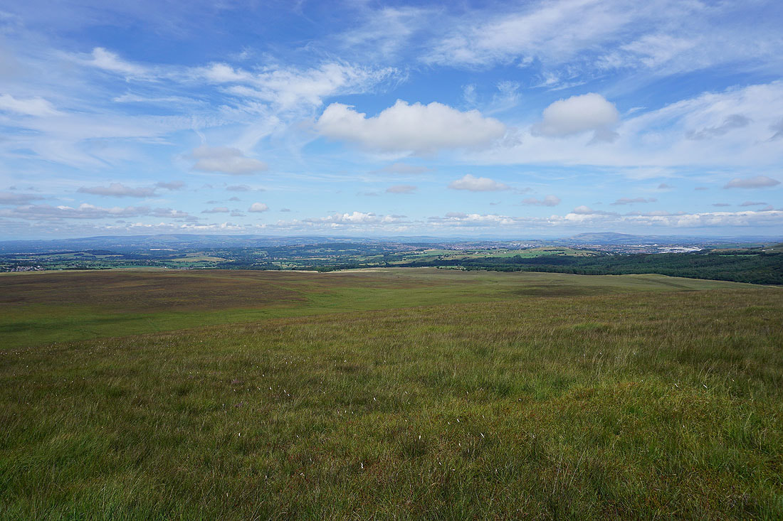
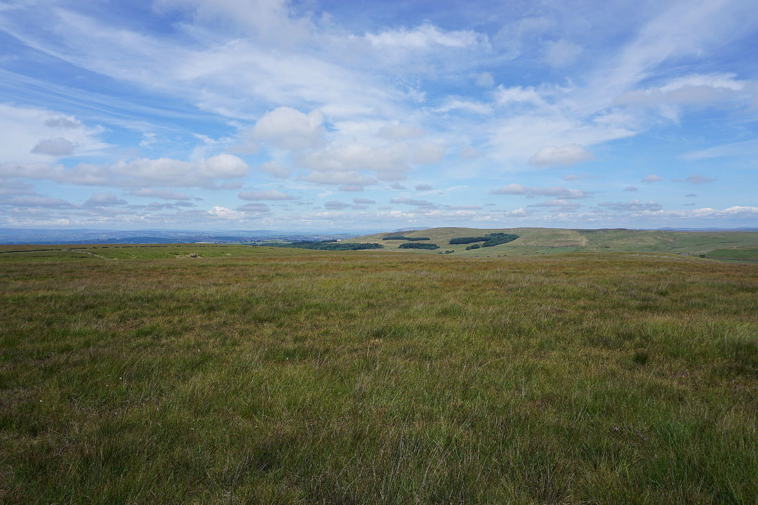
Winter Hill beyond the rest of Anglezarke Moor
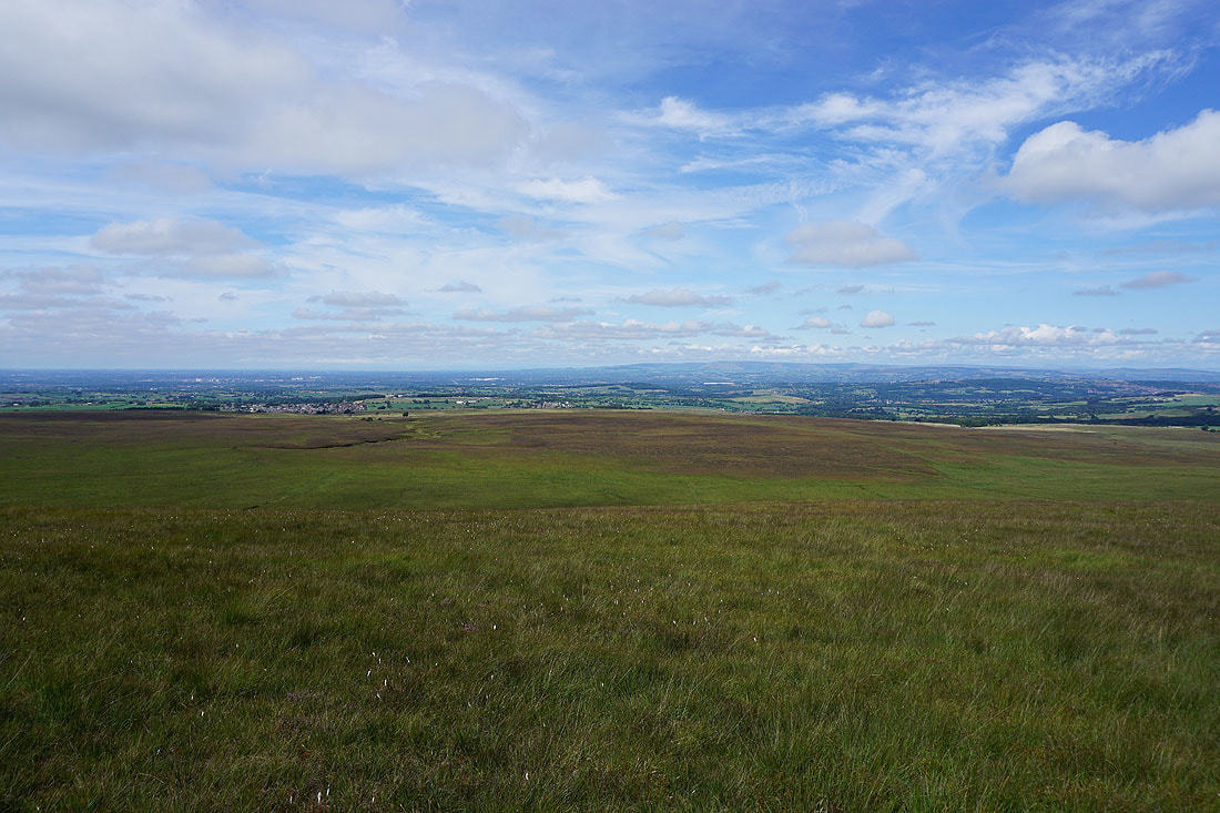
There's a fantastic view from northwest round to northeast, taking in the Forest of Bowland on the other side of the Ribble Valley, Pendle Hill, and Darwen Moor. I could even make out Ingleborough and Penyghent in the Yorkshire Dales...
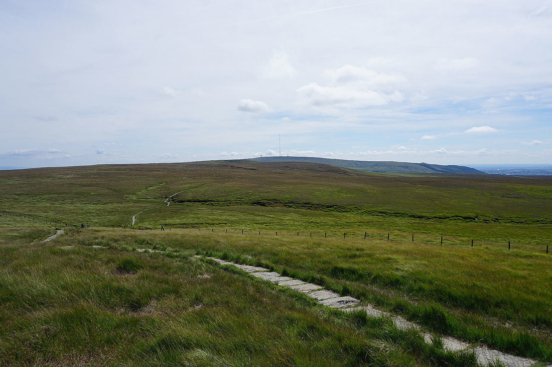
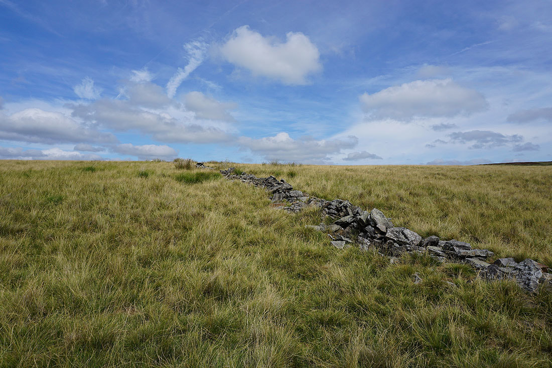
Taking the flagged path south to Spitlers Edge with Winter Hill in the distance
Looking back to Great Hill
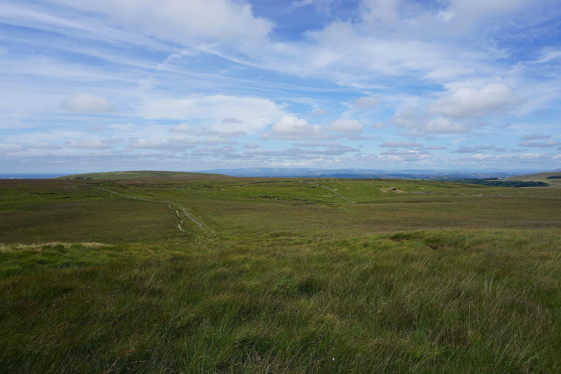
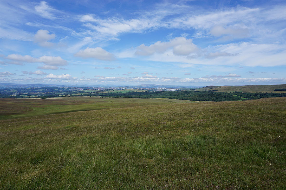
Great Hill and a distant Forest of Bowland from Spitlers Edge
Darwen Moor and..
..Longworth Moor to the east
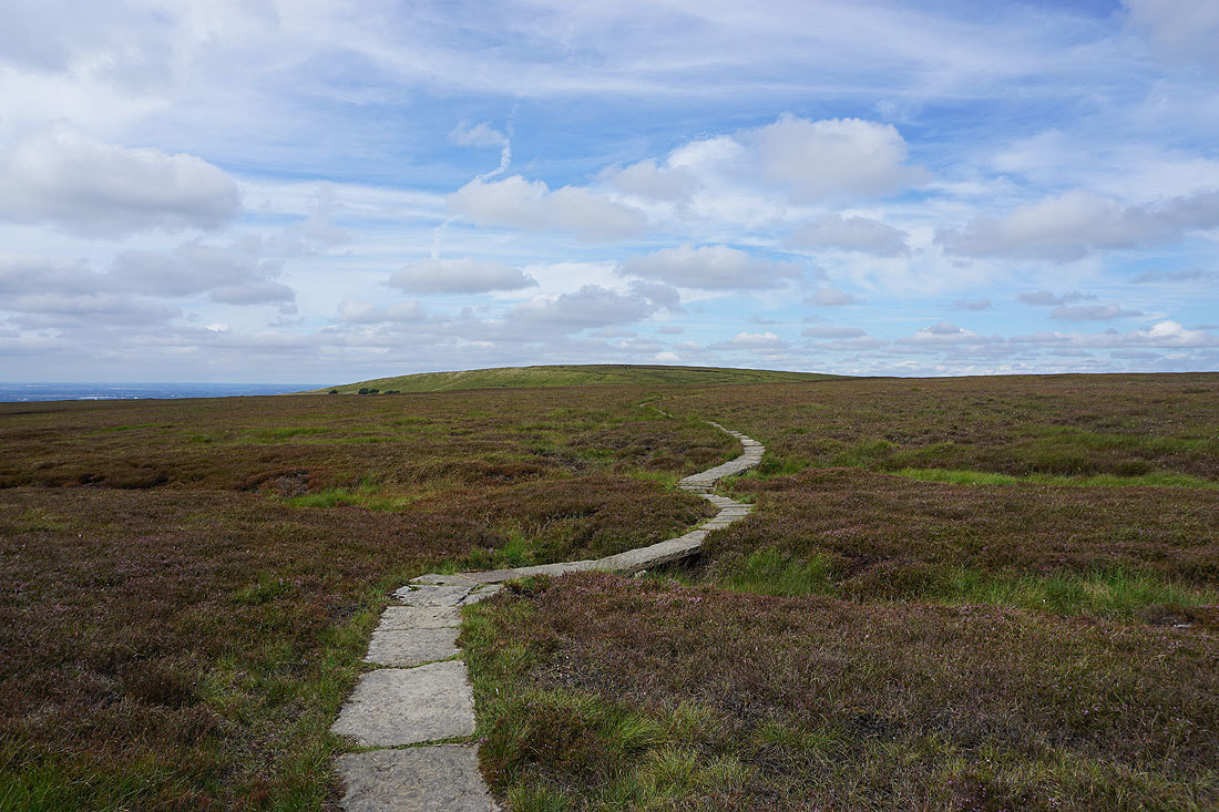
Another look back to a distant Forest of Bowland before..

..and lose that view as the path descends to Hordern Pasture with Winter Hill in front of me
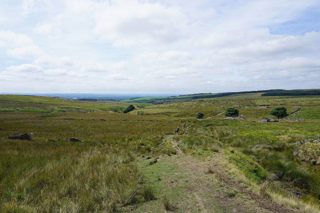
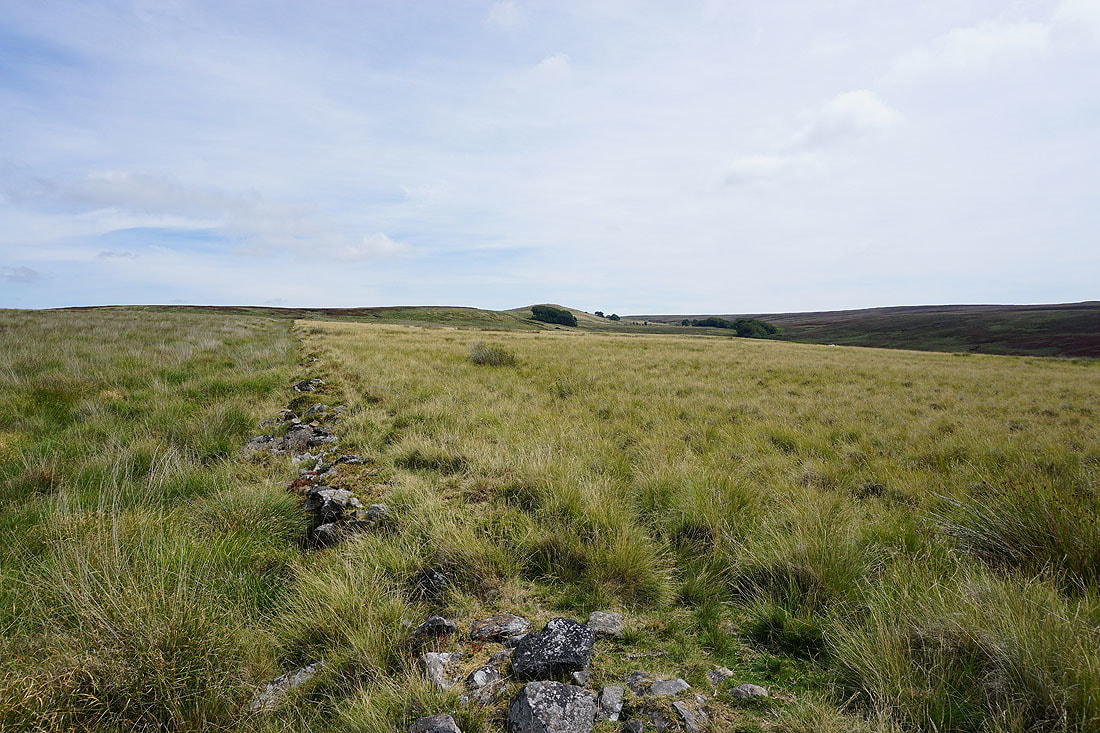
On the path from Hordern Pasture down to the ruined farms of Higher and Lower Hempshaw's
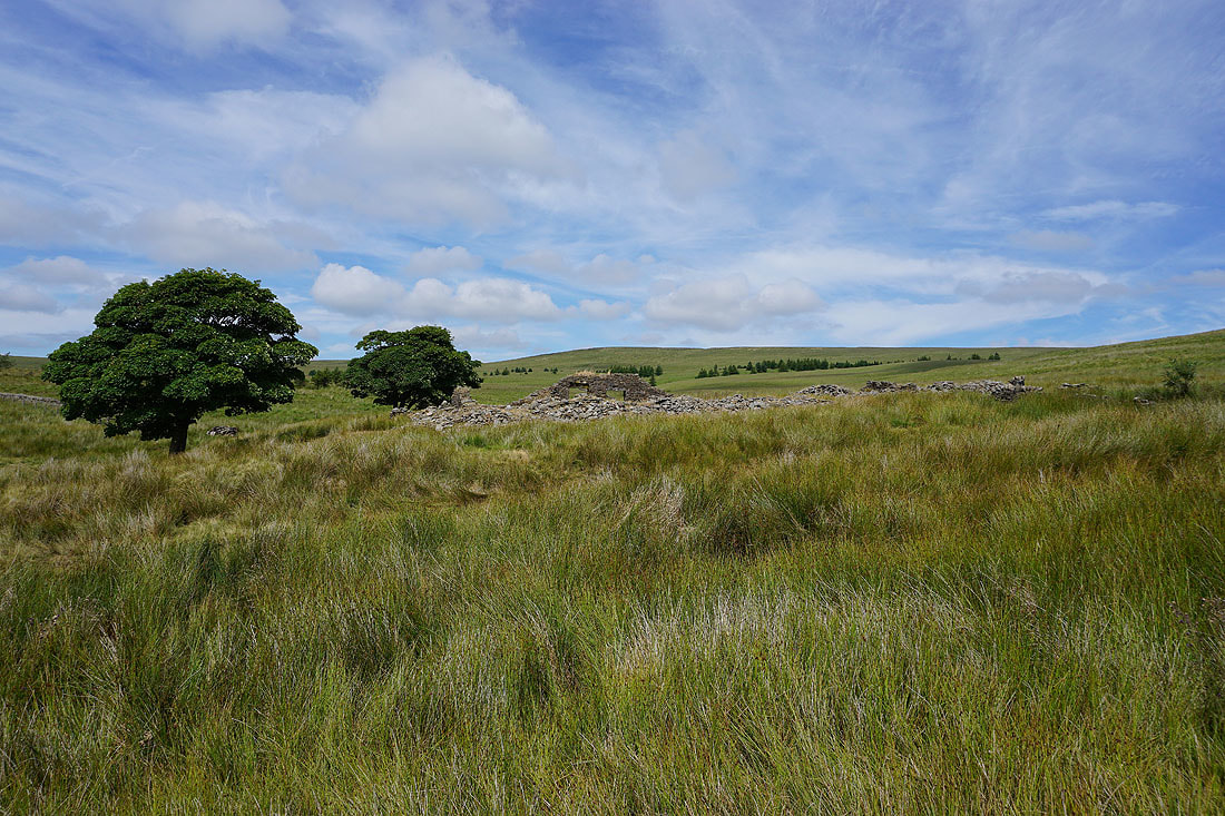
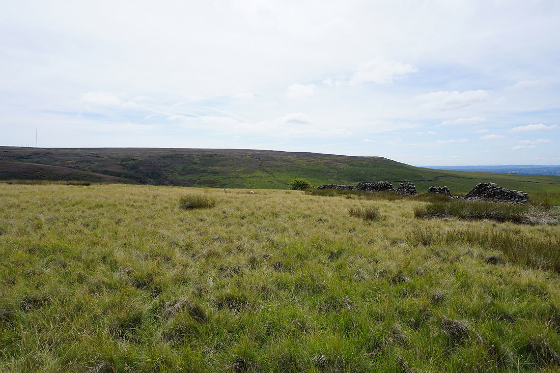
The ruins of Higher Hempshaw's
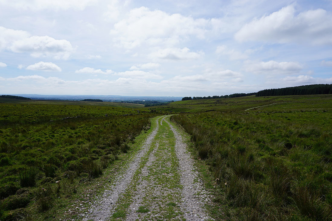
There's now a good track to follow to Lead Mines Clough
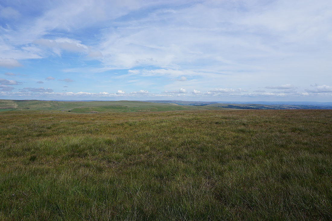
Looking back at Anglezarke Moor
Winter Hill above the valley of the infant River Yarrow
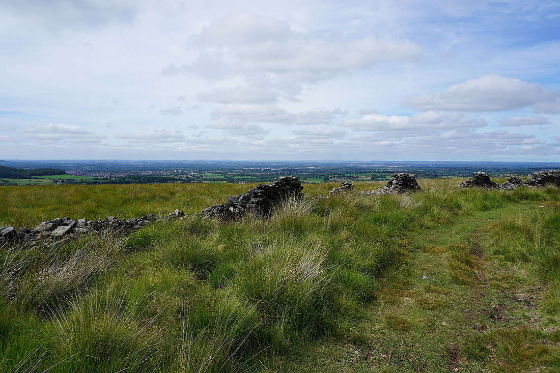
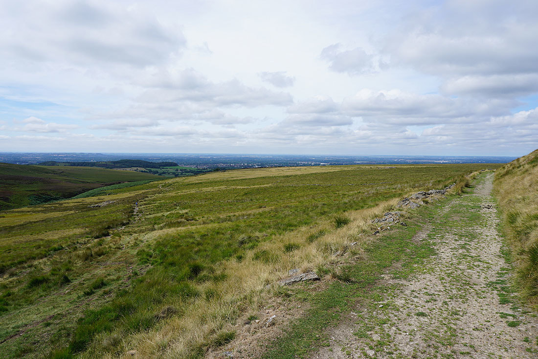
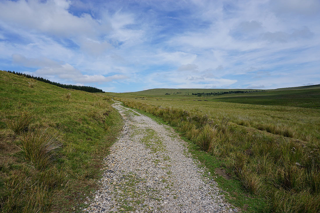
Looking south across Lancashire from the bridleway at Jepson's Gate
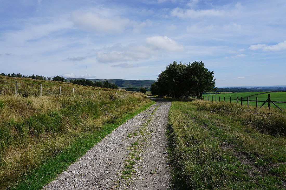
and looking back along the bridleway
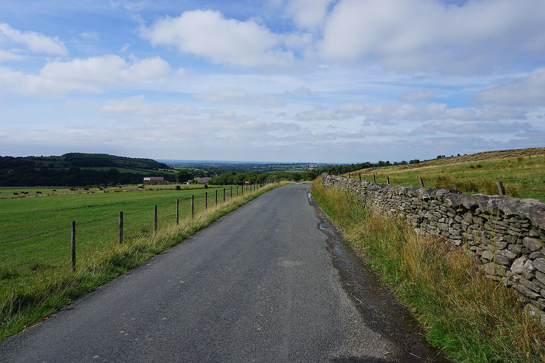
Walking north along Moor Road as I head back to White Coppice
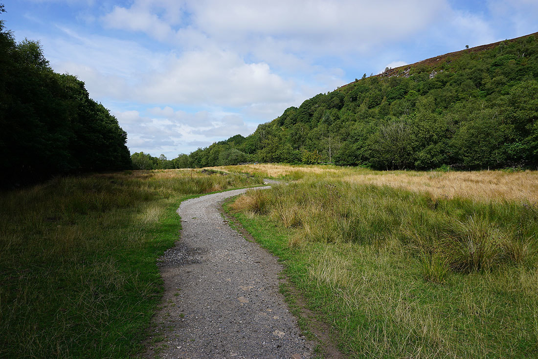
On the path beneath Stronstrey Bank
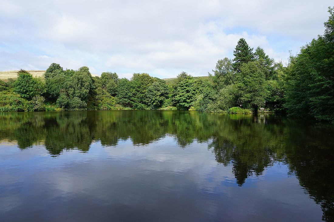
Reflections again at White Coppice