4th December 2013 - Giggleswick, Smearsett & Pot Scars
Walk Details
Distance walked: 9.0 miles
Total ascent: 1586 ft
OS map used: OL2 - Yorkshire Dales, Southern & Western areas
Time taken: 6 hrs
Route description: Langcliffe-Ribble Way-Giggleswick Scar-Feizor-Pot Scar-Smearsett Scar-Little Stainforth-Stainforth Force-Ribble Way-Langcliffe
My Dad joined me for this midweek walk in the Yorkshire Dales. It started out cold and sunny but some cloud developed as the breeze strengthened throughout the day, a prelude to the following days storm. Mid-walk refreshments were enjoyed in Elaine's Tearooms in Feizor, well worth a visit.
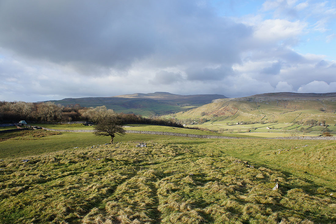
From Langcliffe we crossed the road up Ribblesdale and the Ribble to briefly follow the Ribble Way to reach the path up onto Giggleswick Scar. We then walked along the top of Giggleswick Scar to pick up the bridleway across to Feizor. We left Feizor by the bridleway to Wharfe but soon left this for the path to Little Stainforth. After passing through a gate we could leave the path to head for the top of Pot Scar. Just a short walk along the top and we reached the trig point on Smearsett Scar. Our route back took us down into Little Stainforth and along the Ribble Way to Langcliffe.
Total ascent: 1586 ft
OS map used: OL2 - Yorkshire Dales, Southern & Western areas
Time taken: 6 hrs
Route description: Langcliffe-Ribble Way-Giggleswick Scar-Feizor-Pot Scar-Smearsett Scar-Little Stainforth-Stainforth Force-Ribble Way-Langcliffe
My Dad joined me for this midweek walk in the Yorkshire Dales. It started out cold and sunny but some cloud developed as the breeze strengthened throughout the day, a prelude to the following days storm. Mid-walk refreshments were enjoyed in Elaine's Tearooms in Feizor, well worth a visit.
From Langcliffe we crossed the road up Ribblesdale and the Ribble to briefly follow the Ribble Way to reach the path up onto Giggleswick Scar. We then walked along the top of Giggleswick Scar to pick up the bridleway across to Feizor. We left Feizor by the bridleway to Wharfe but soon left this for the path to Little Stainforth. After passing through a gate we could leave the path to head for the top of Pot Scar. Just a short walk along the top and we reached the trig point on Smearsett Scar. Our route back took us down into Little Stainforth and along the Ribble Way to Langcliffe.
Route map
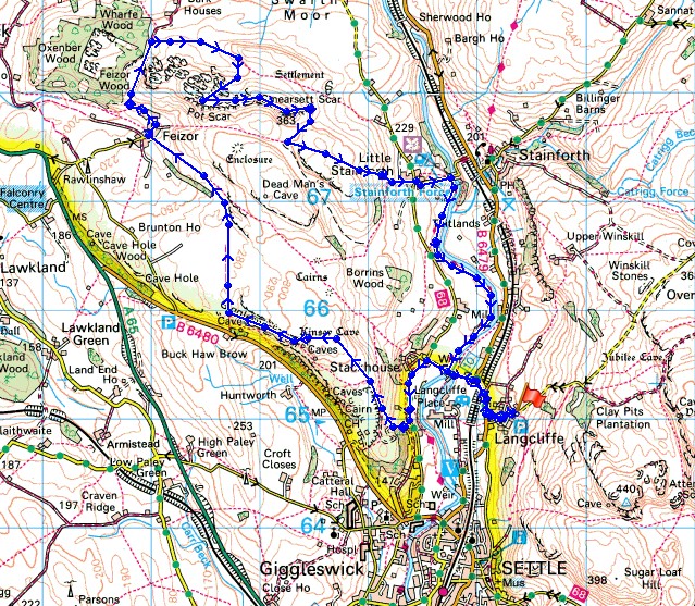
© Crown copyright. All rights reserved. License number PU 100034184.

A fine start to the day in Langcliffe
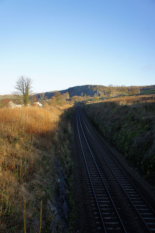
Crossing the Settle to Carlisle line
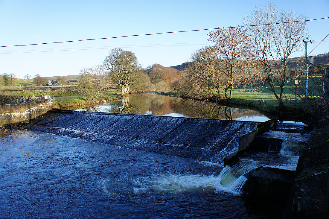
The weir on the Ribble as we cross the river
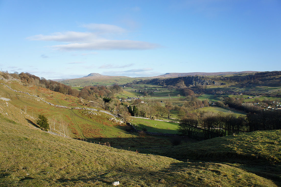
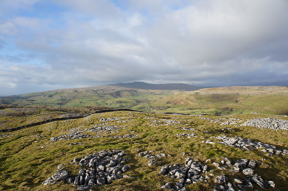
Penyghent, Fountains Fell and Ribblesdale as we head up onto Giggleswick Scar
On the top of Giggleswick Scar. In the short time it took us to reach here cloud has covered the tops of Penyghent and Fountains Fell.
Ingleborough also shrouded in cloud
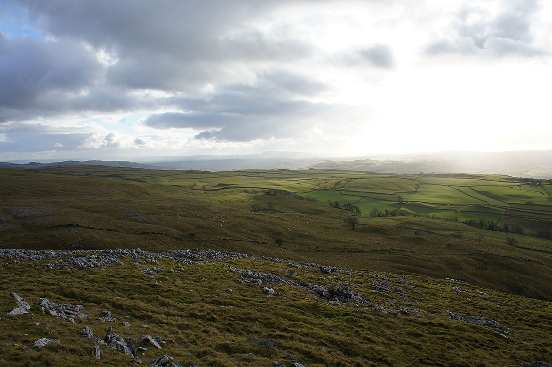
The Forest of Bowland
Settle in the valley below
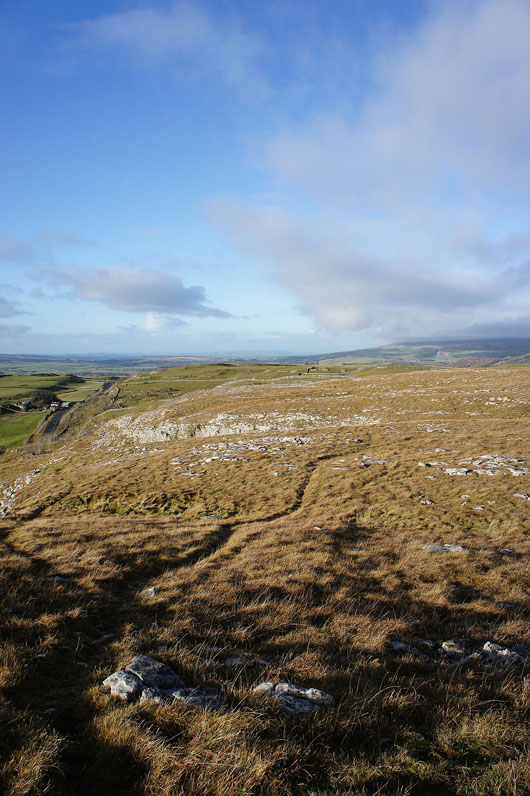
Heading along the top of Giggleswick Scar
|
|
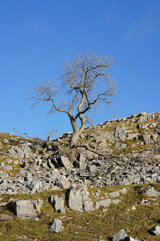
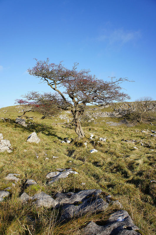
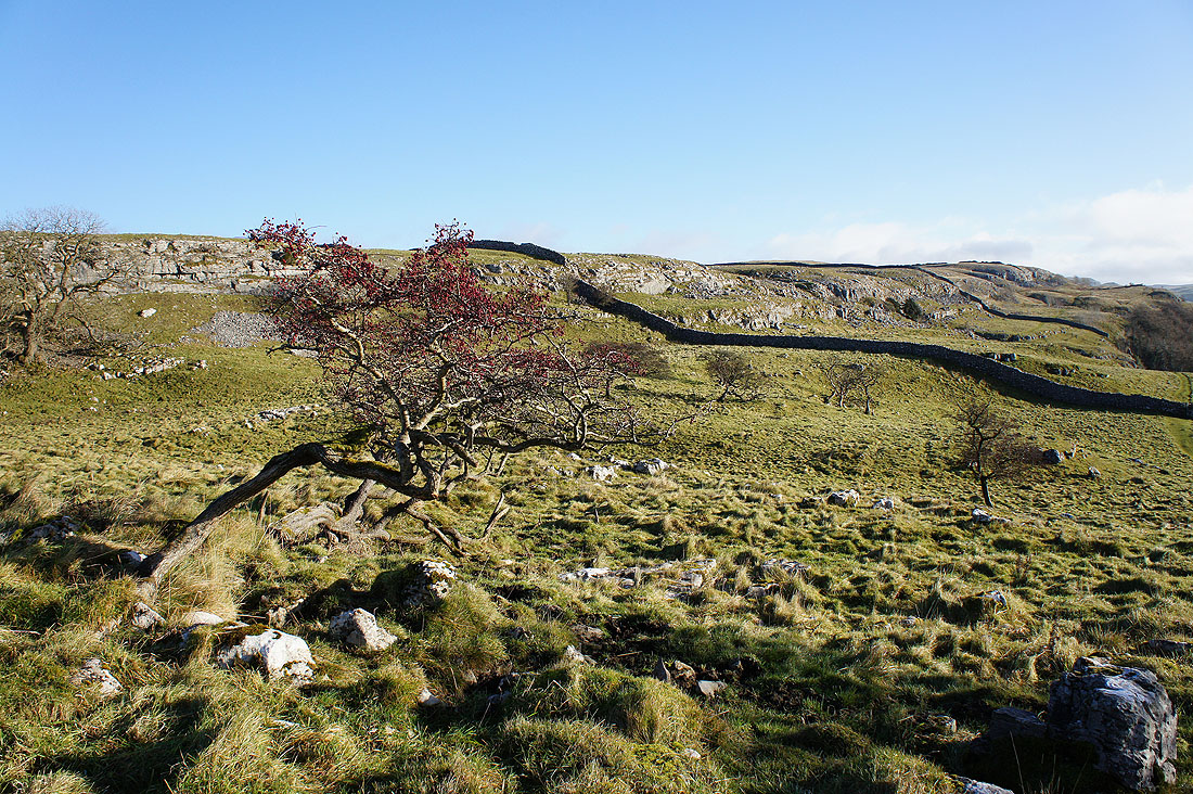
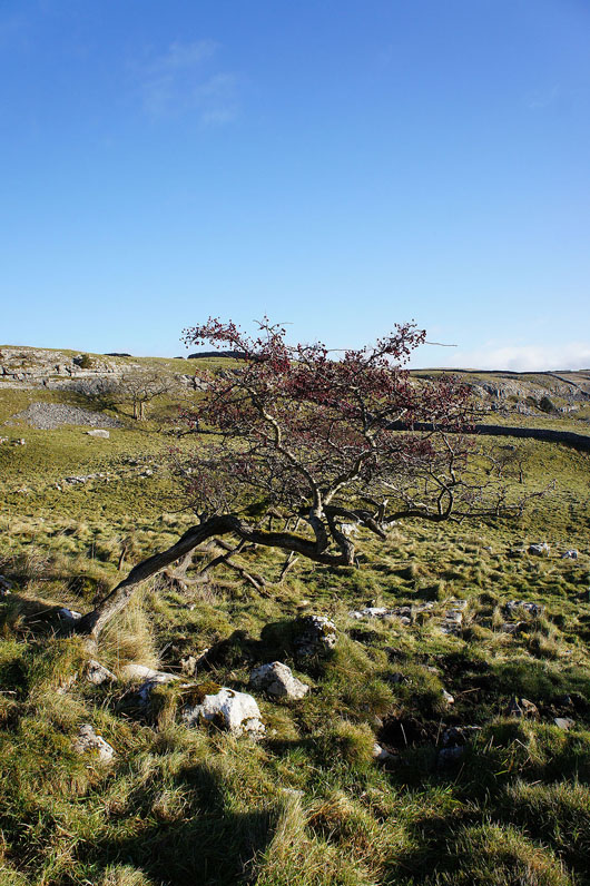
A few of the many knarled and twisted trees on top of the scar...
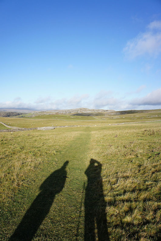
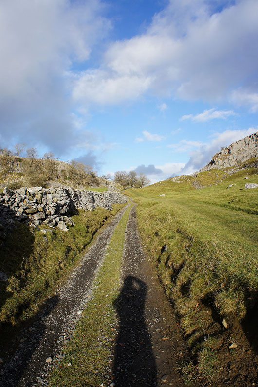
On the bridleway to Feizor. No disguising that I'm not alone.
The hamlet of Feizor just ahead
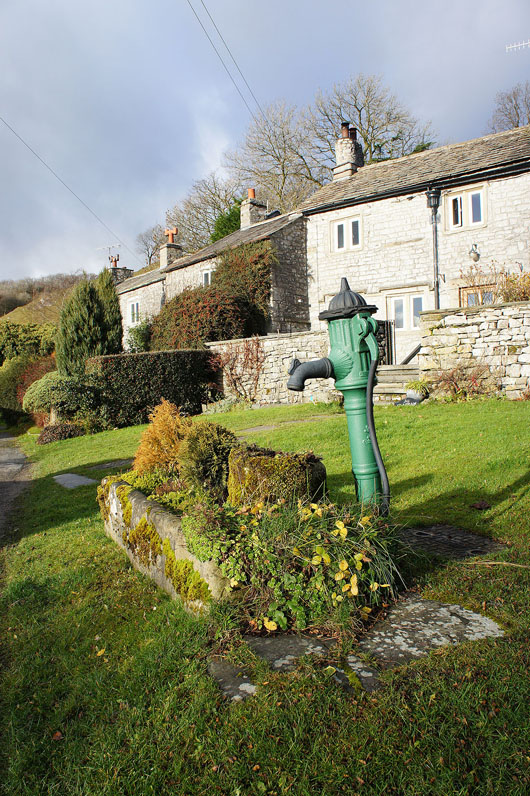
In Feizor
The bridleway that will take us round the back of Pot Scar
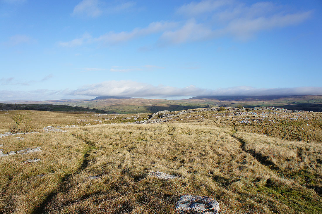
Ingleborough in view again as we head up onto Pot Scar
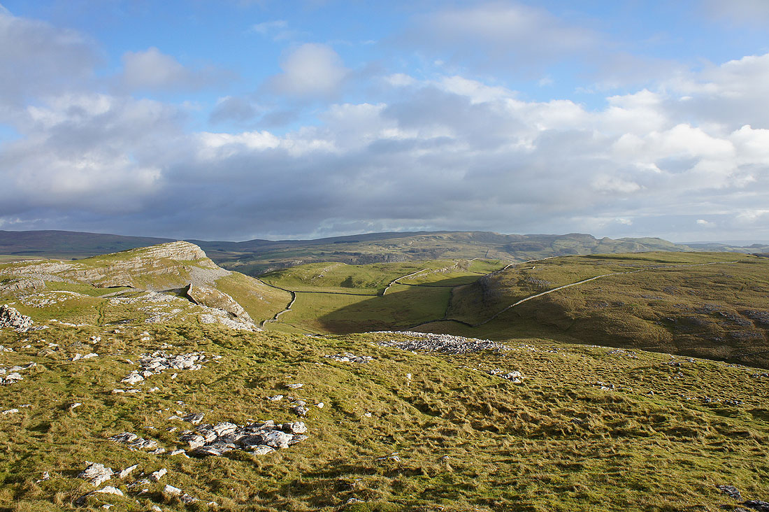
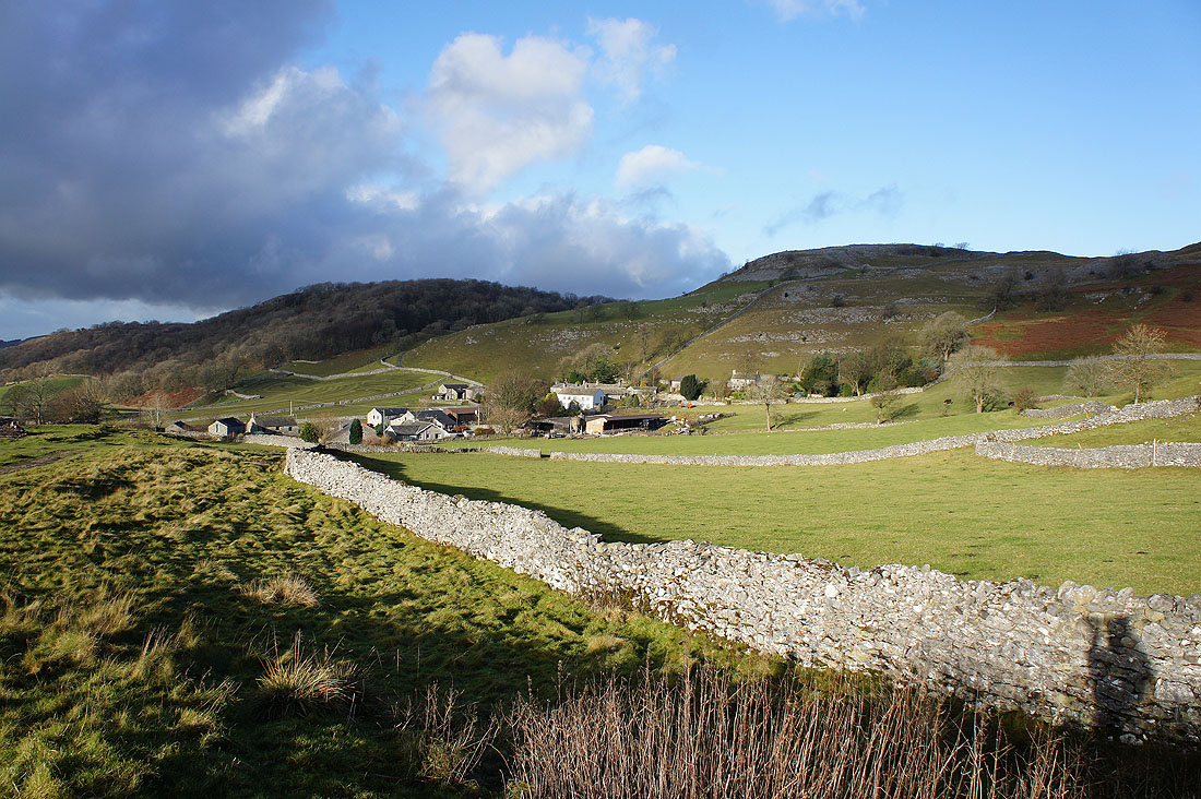
The view from the top of Pot Scar. That's Smearsett Scar in the sun on the left with the hills of Warrendale Knotts above Settle in the distance.
Penyghent and Fountains Fell
It's a bit murky but Pendle Hill can be made out in the distance
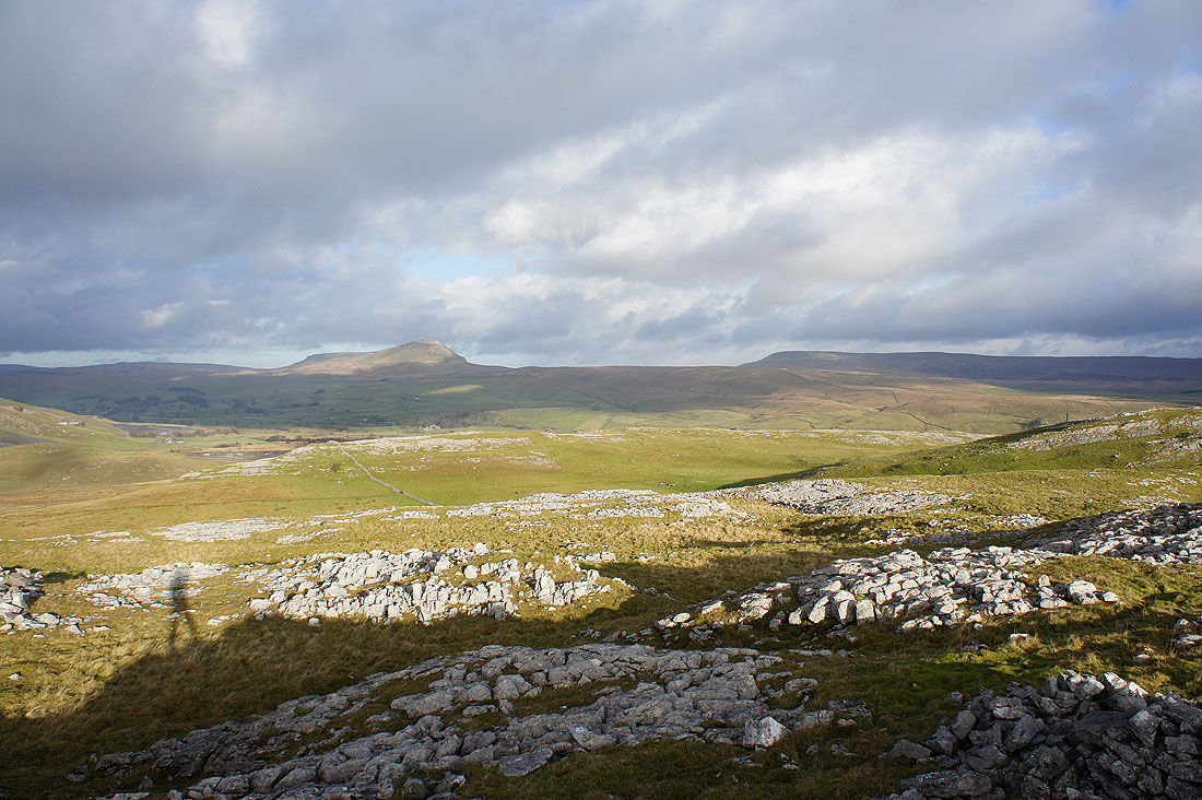
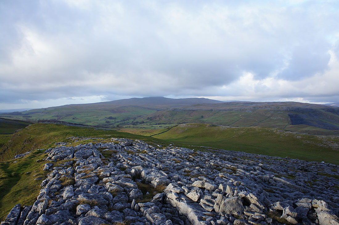
Ingleborough from Pot Scar
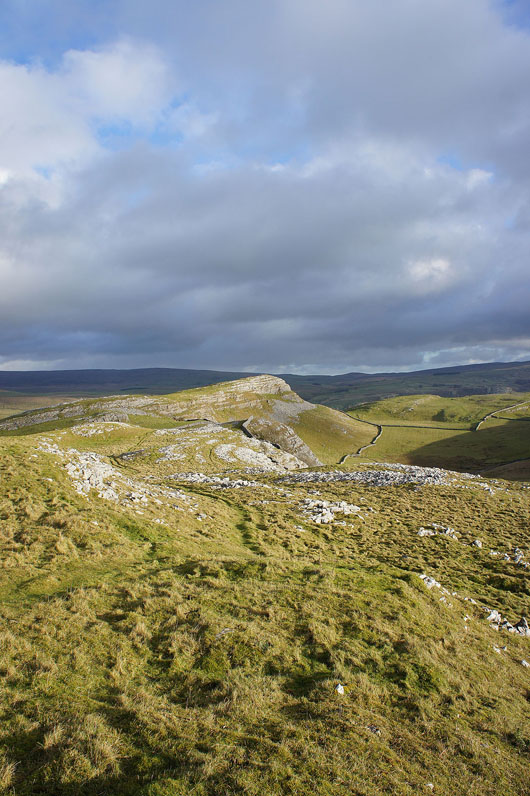
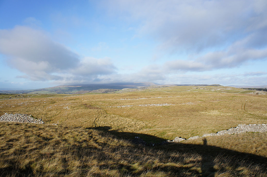
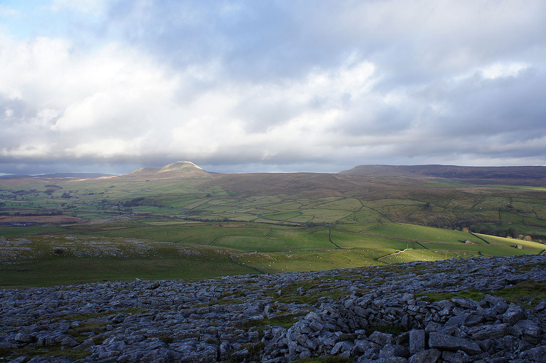
Smearsett Scar
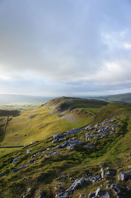
Now on Smearsett Scar looking back to Pot Scar
Ingleborough from Smearsett Scar
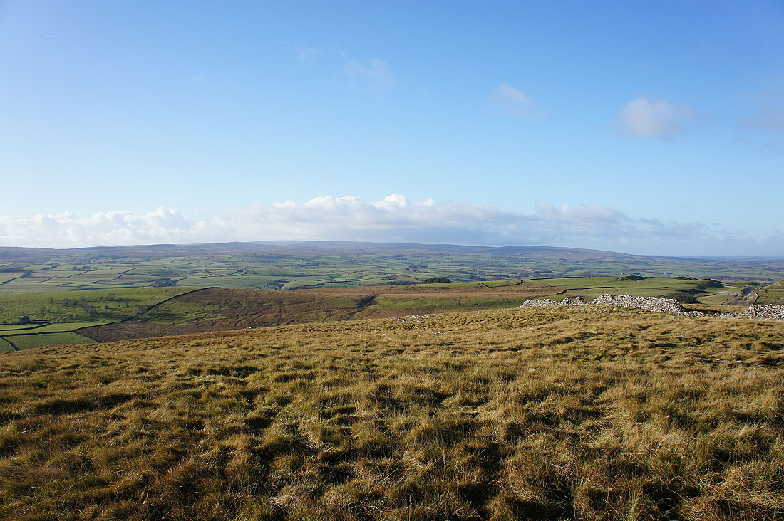
Penyghent and Fountains Fell
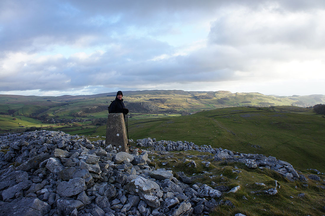
My Dad braving the cold on Smearsett Scar
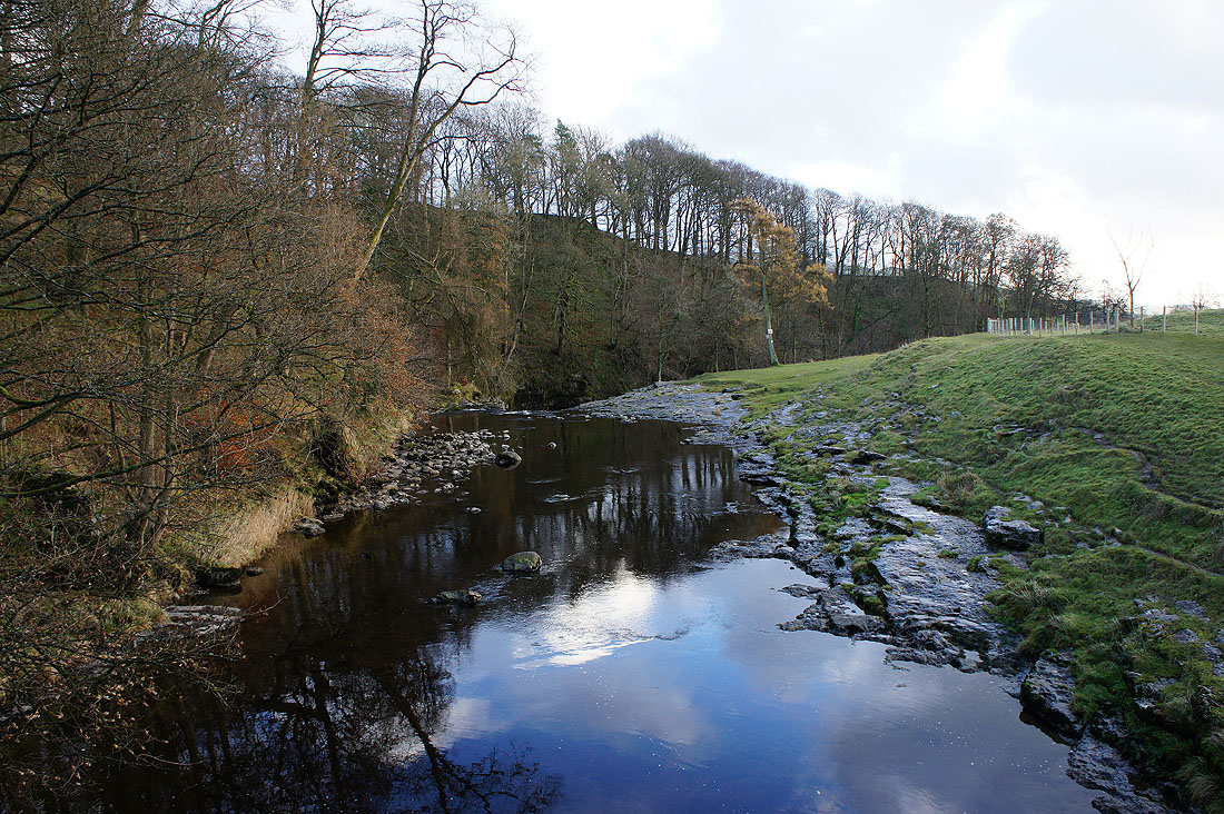
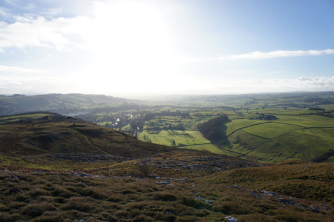
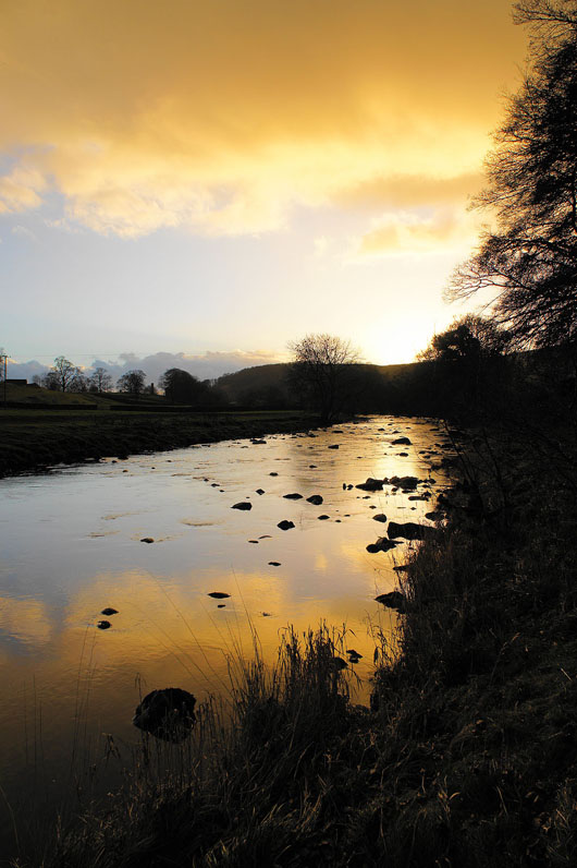
From Smearsett Scar we've made our way down through Little Stainforth to Stainforth Bridge to pick up the Ribble Way. The Ribble from Stainforth Bridge.

Stainforth Bridge and the River Ribble
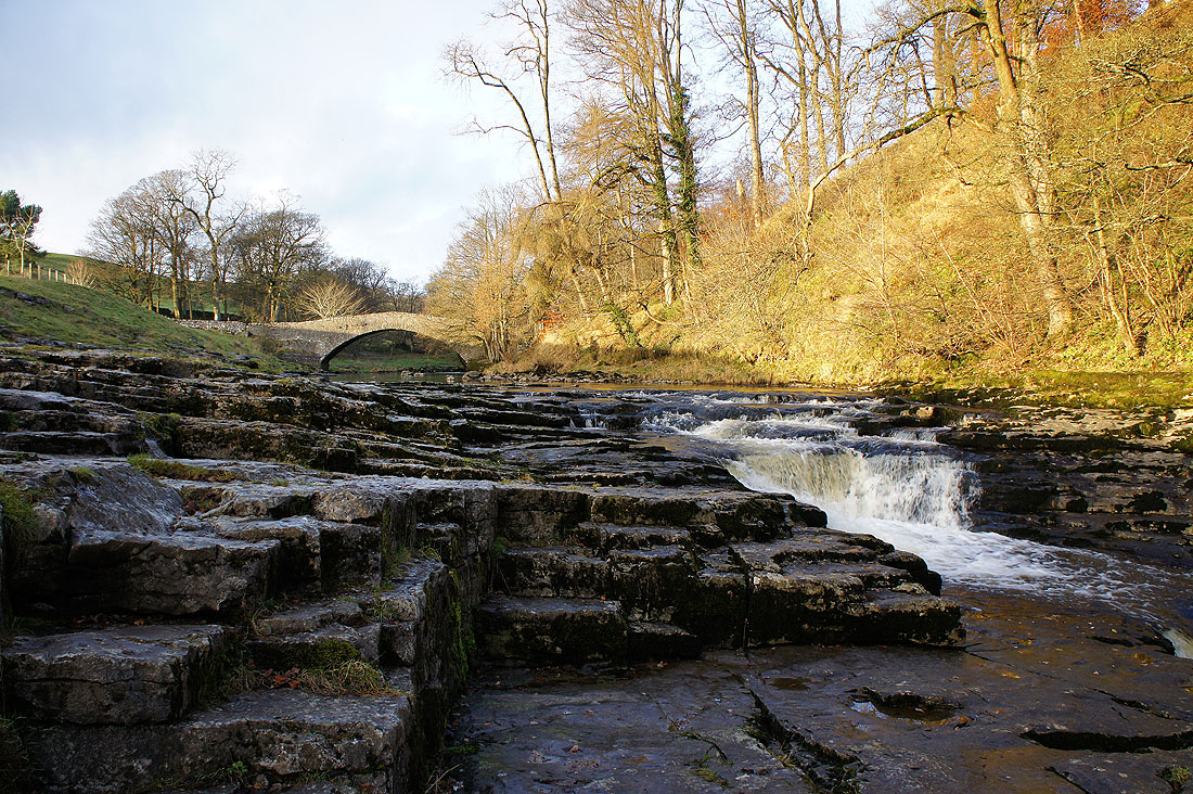
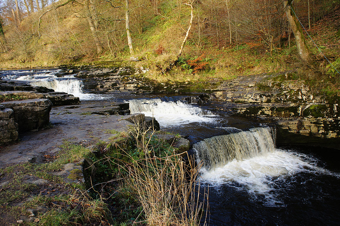
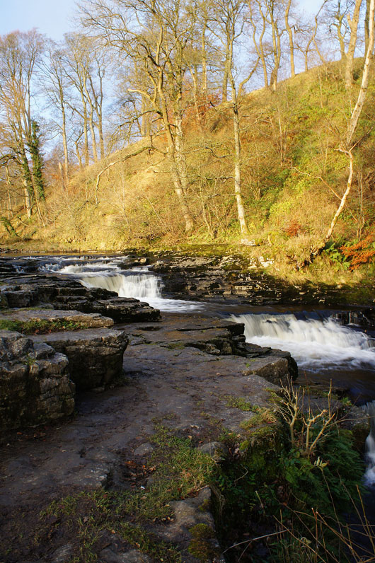
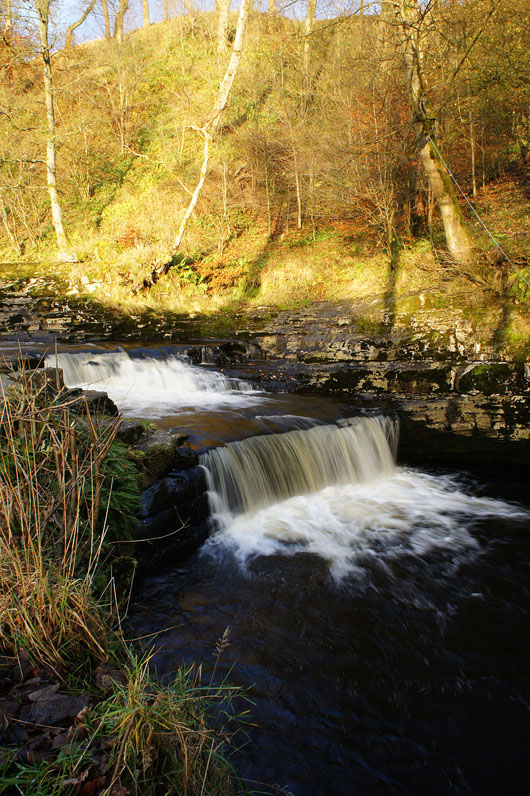
Just a short way downstream is the waterfall of Stainforth Force...
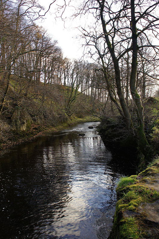
The Ribble continues on its way in quieter mood
On the Ribble Way back to Langcliffe
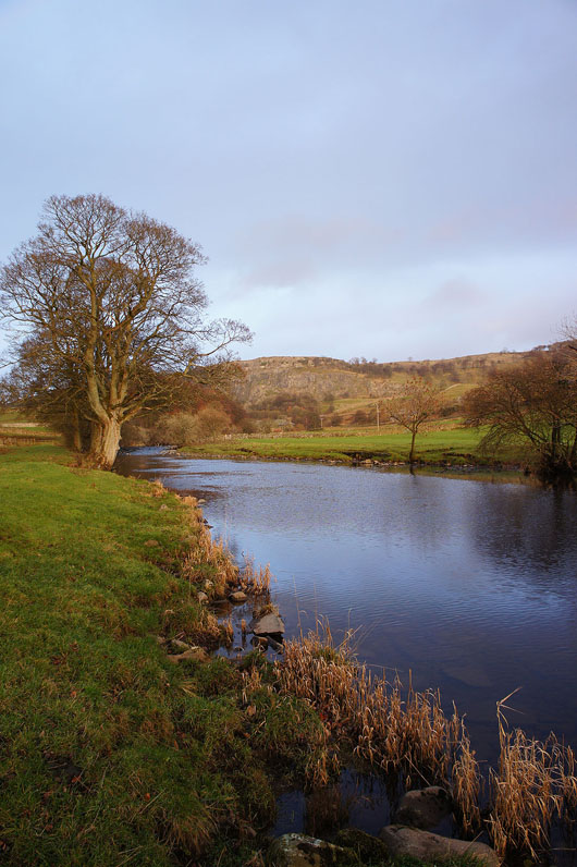
Stainforth Scar across the Ribble
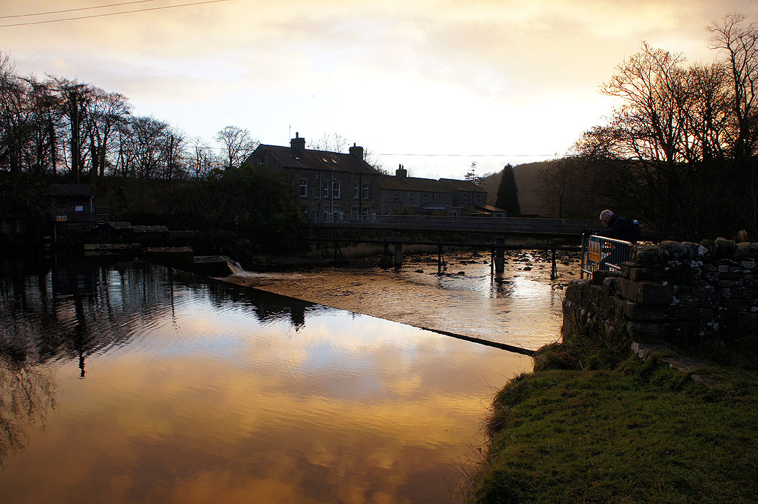
We're back at the weir and the footbridge across the river for a short walk to Langcliffe