4th December 2016 - Gragareth
Walk Details
Distance walked: 9.4 miles
Total ascent: 1975 ft
OS map used: OL2 - Yorkshire Dales, Southern & Western areas
Time taken: 6 hrs
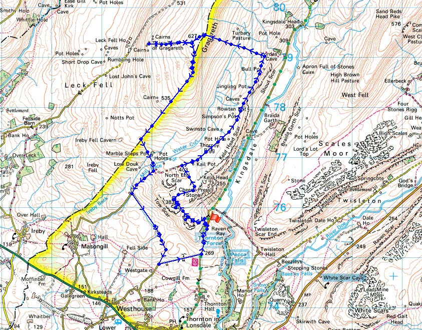
Route description: Thornton Lane-Hunt's Cross-Tow Scar-Cheese Press Stone-Turbary Road-Turbary Pasture-Gragareth-Three Men of Gragareth-Gragareth-Ireby Fell-Turbary Road-Tow Scar Road-Westgate Lane-Thornton Lane
I'd narrowed down where I was going to walk this weekend to one of two routes in the Yorkshire Dales and in the end it was the weather that made me go for this one on the western edge of the Dales. With the wind in the east I was promised more sunshine here. I really only came up with this route at the last minute after reading through "The Mountains of England and Wales, Volume 2:England" by John and Anne Nuttall. Their walk that took in Gragareth had them start by climbing the east side of the fell from the Kingsdale road and crossing the wall to visit the trig point. Once I knew that I could do that then I could work my own route that took in Gragareth, Tow Scar and the Turbary Road. This was a really enjoyable walk and one that I would definitely do again. There's a fantastic combination of scenery with the limestone pavement of Low Plain and the Cheese Press Stone and the high moorland of Gragareth with its wide ranging views. Even better was having a fine early winters day to appreciate it.
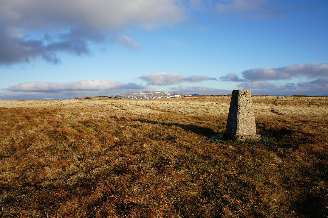
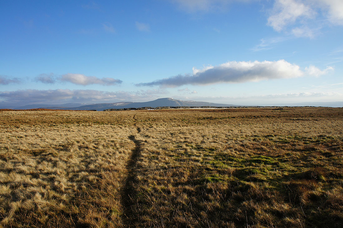
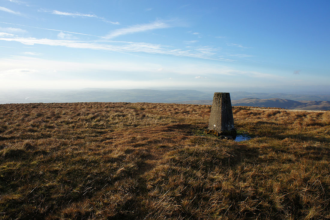
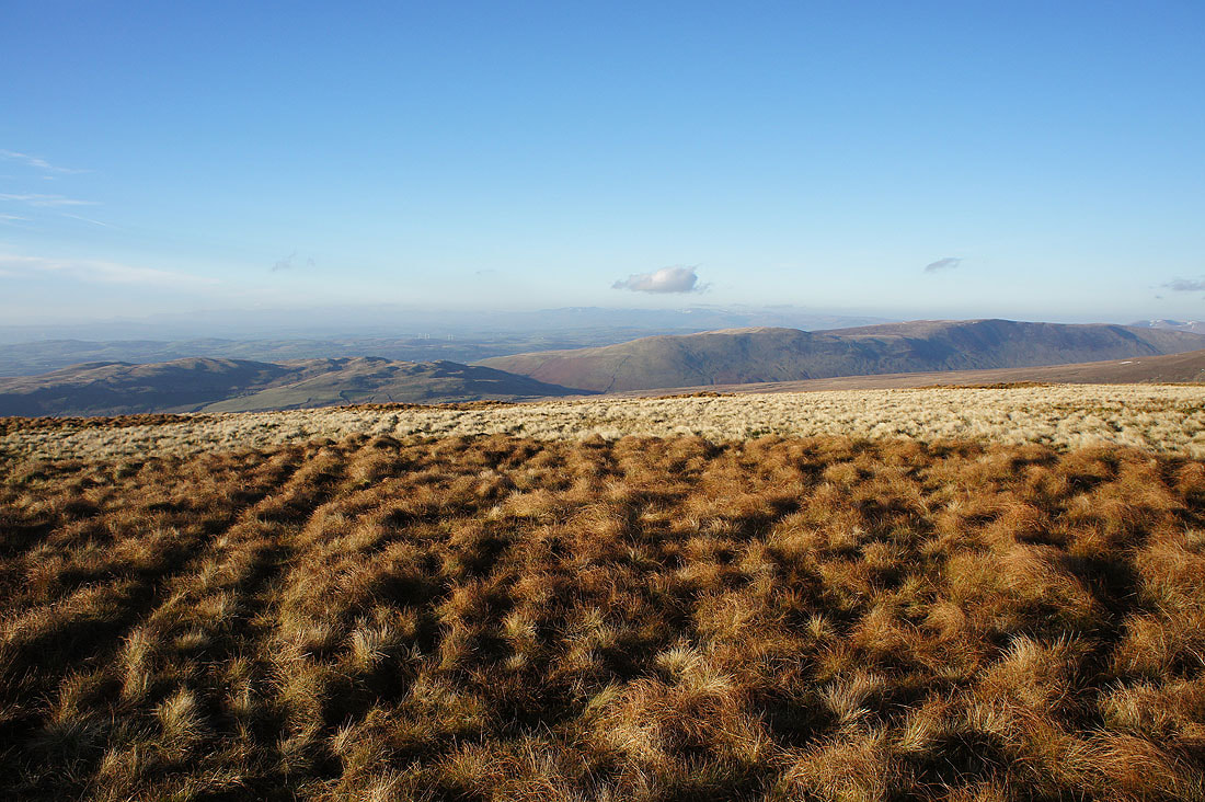
From where I parked in the layby at the top of Thornton Lane I started by going through a gate on the western side of the road to take a quadbike track onto the moor. This was left to visit the top of Hunt's Cross and the trig point on Tow Scar before following it up onto Low Plain. After a bit of wandering about the limestone pavement I finally spotted the Cheese Press Stone. That found I crossed Low Plain to reach the byway of Turbary Road. I followed this clear track north along the hillside above Kingsdale (stopping at a convenient spot for lunch) to its end on the hillside of Turbary Pasture above Yordas Wood. Time to head up. A fairly clear trod in the grass took me uphill by a wall to reach the summit wall on Gragareth where a stile was crossed to reach the trig point on the other side of the fell. I went straight past the trig point though and down the hillside to visit the cairns of the Three Men of Gragareth. After having a break here and taking in the views I made my way back up to the trig point and south to the summit wall. At the wall corner at the top of Ireby Fell a stile and gate was used to access this fellside so that I could make my way down Ireby Fell by the western side of its eastern boundary wall (the other side would have been OK as well, with stiles crossing the intervening walls, but I didn't know that at the time). About half way down I reached a stile in the wall which I crossed to take a path across the hillside past Marble Steps Pot to reach the track of Turbary Road. I followed this downhill before turning left onto the track of Tow Scar Road which took me down to Westgate Lane. Walking up this road and then up Thornton Lane took me back to where I was parked.
Route map
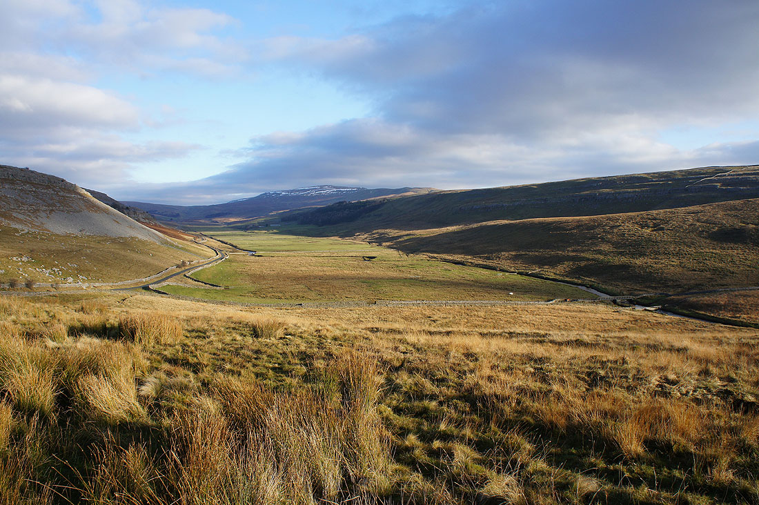
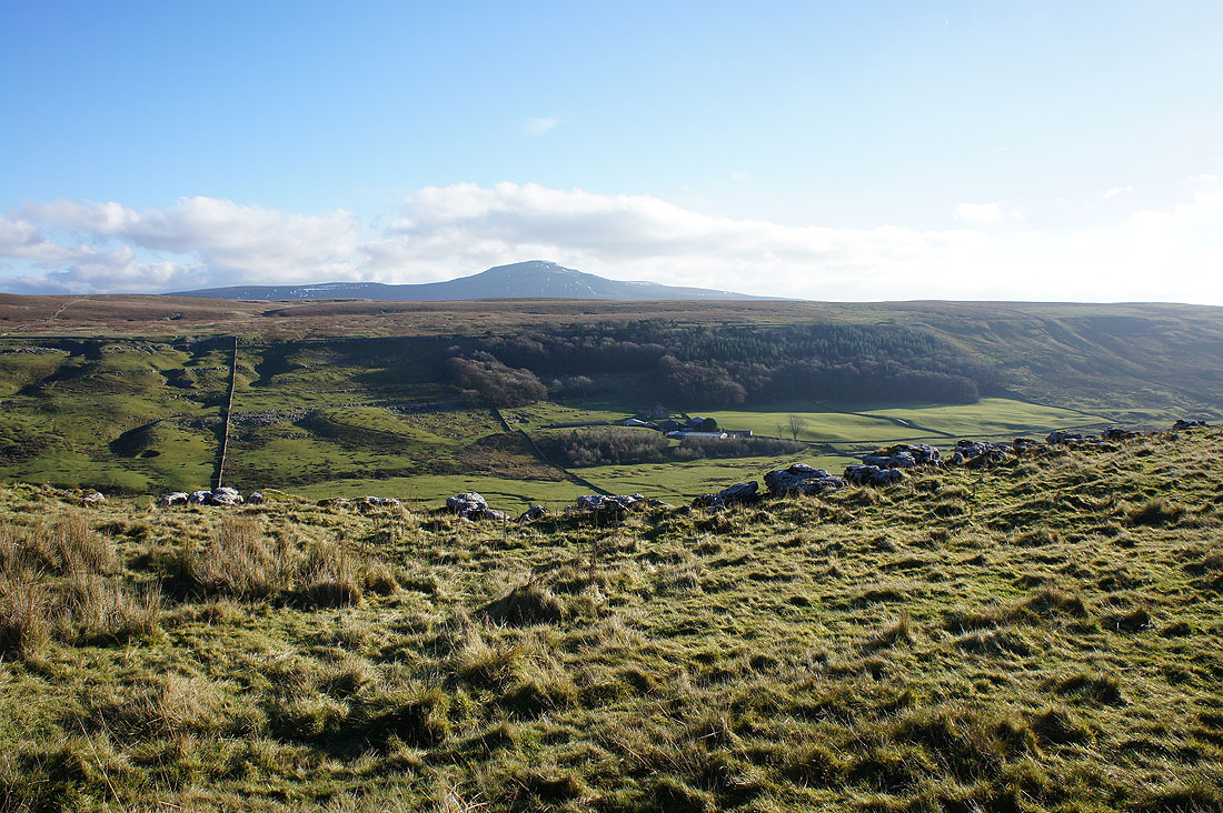
The valley of Kingsdale backed by Whernside from where I parked my car
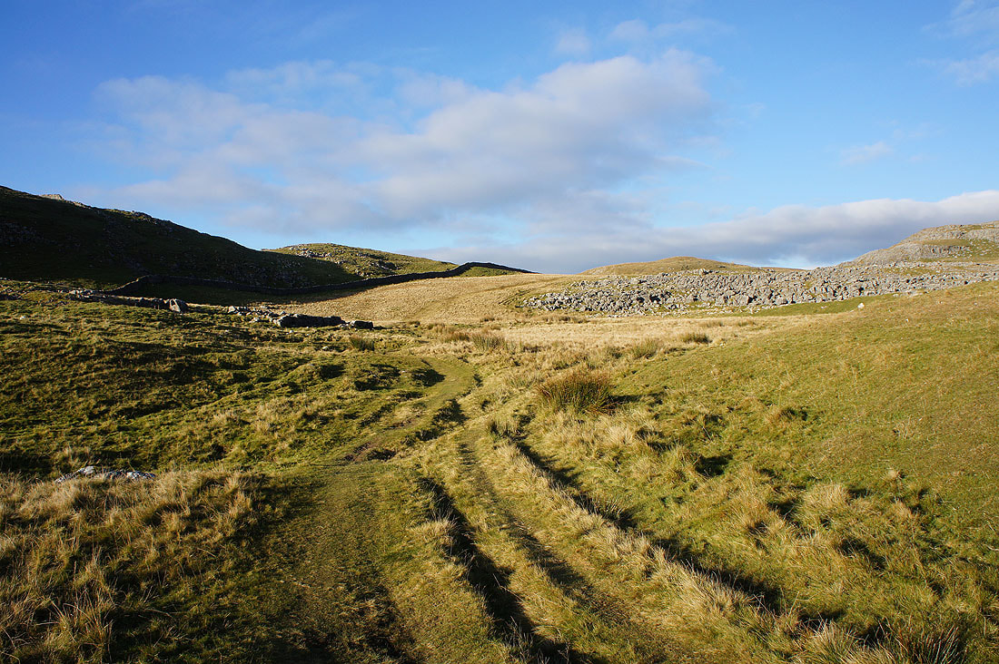
A track leaves the road and heads onto the moor towards Hunt's Cross and Tow Scar
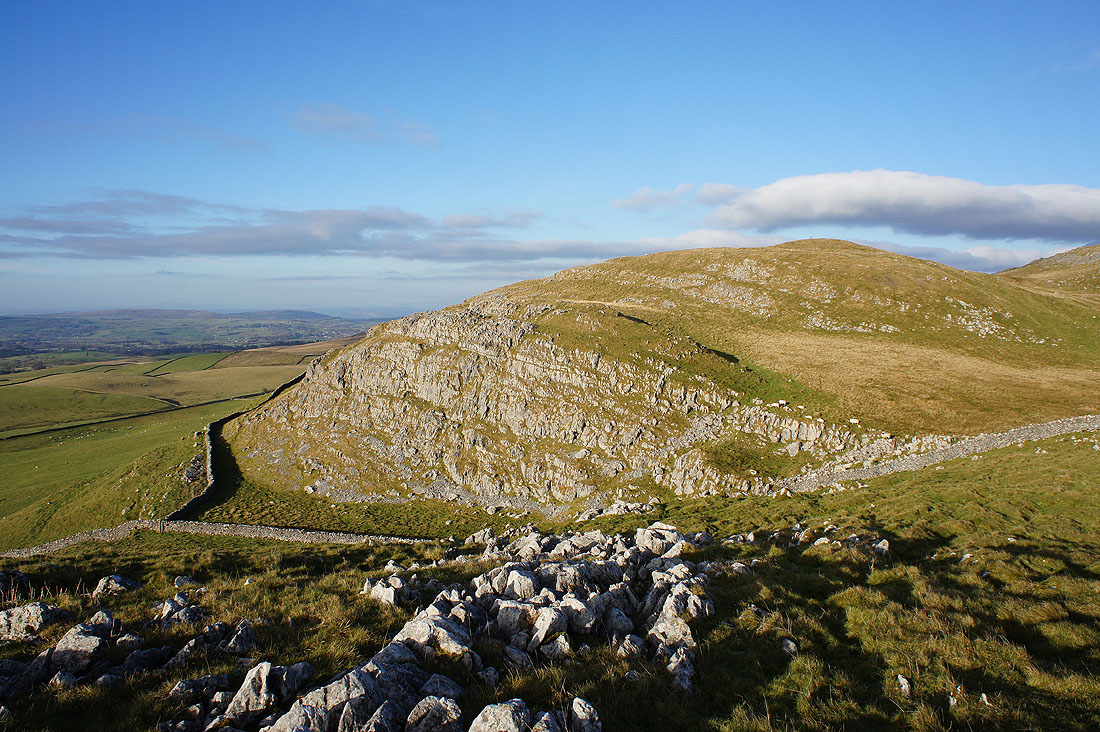
Tow Scar from Hunt's Cross
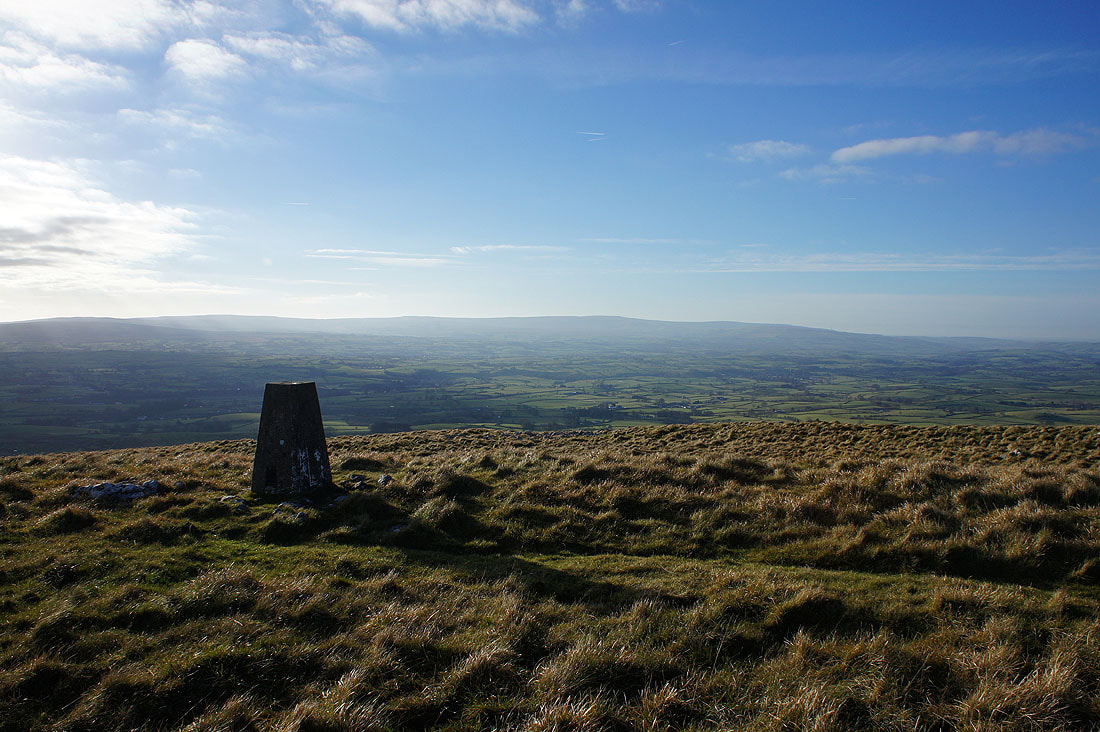
The fells of the Forest of Bowland in the distance from the trig point on Tow Scar
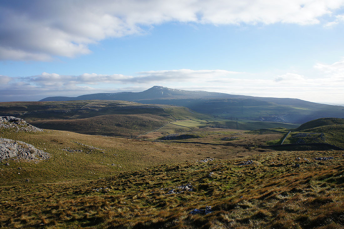
Ingleborough beyond Kingsdale and Twisleton Scar End
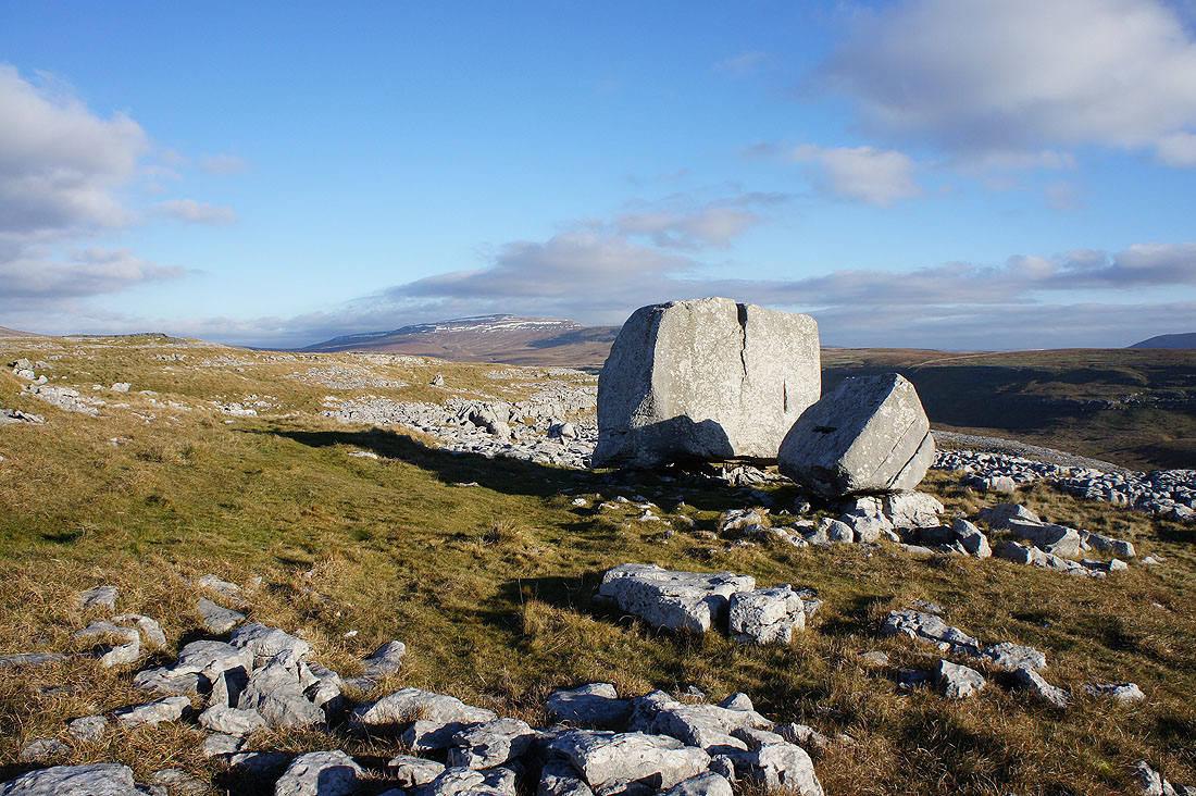
After a bit of a wander about I finally found the Cheese Press Stone on the limestone pavement of Low Plain
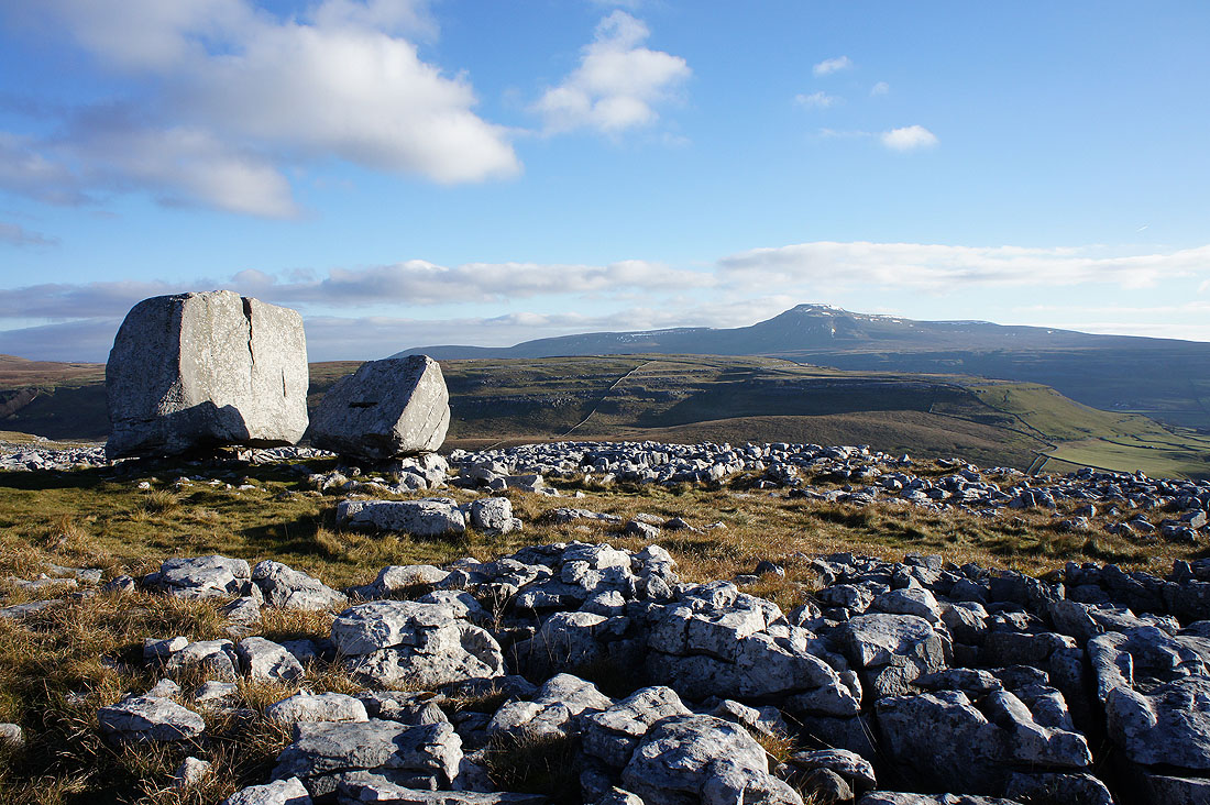
The Cheese Press Stone with Ingleborough behind Ewes Top and Twisleton Scar End
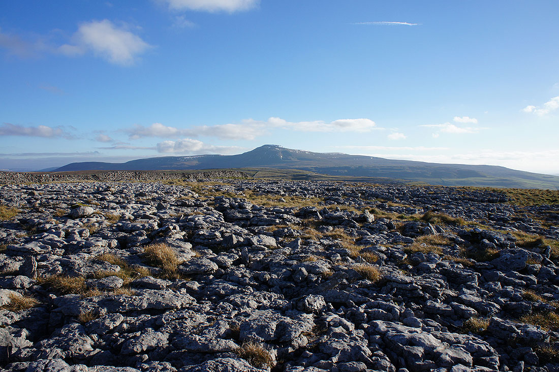
Ingleborough from Low Plain
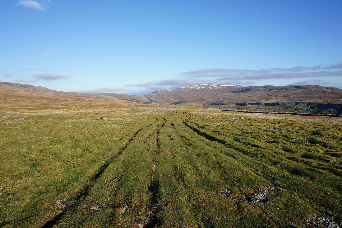
I've left the limestone pavement of Low Plain for the byway of Turbary Road which I'll follow up Kingsdale
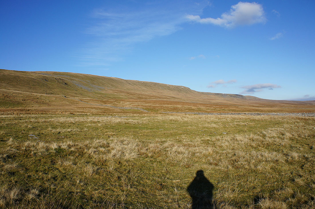
The slopes of Gragareth rise to my left
The deep dark hole of Rowten Pot. I took a peep over the side, it was a long way down.
Braida Garth Farm below in Kingsdale
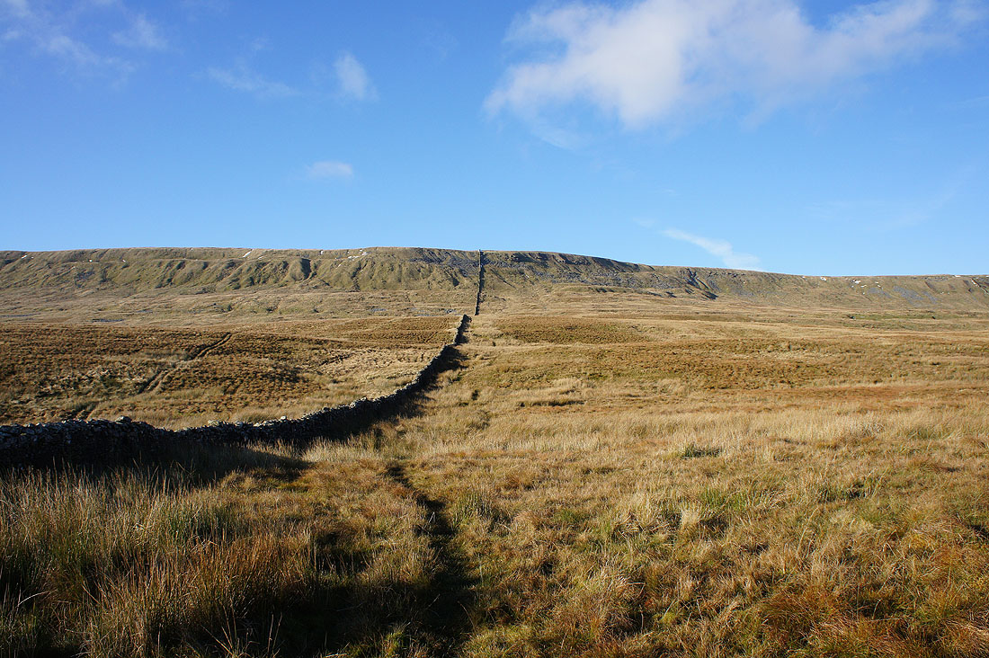
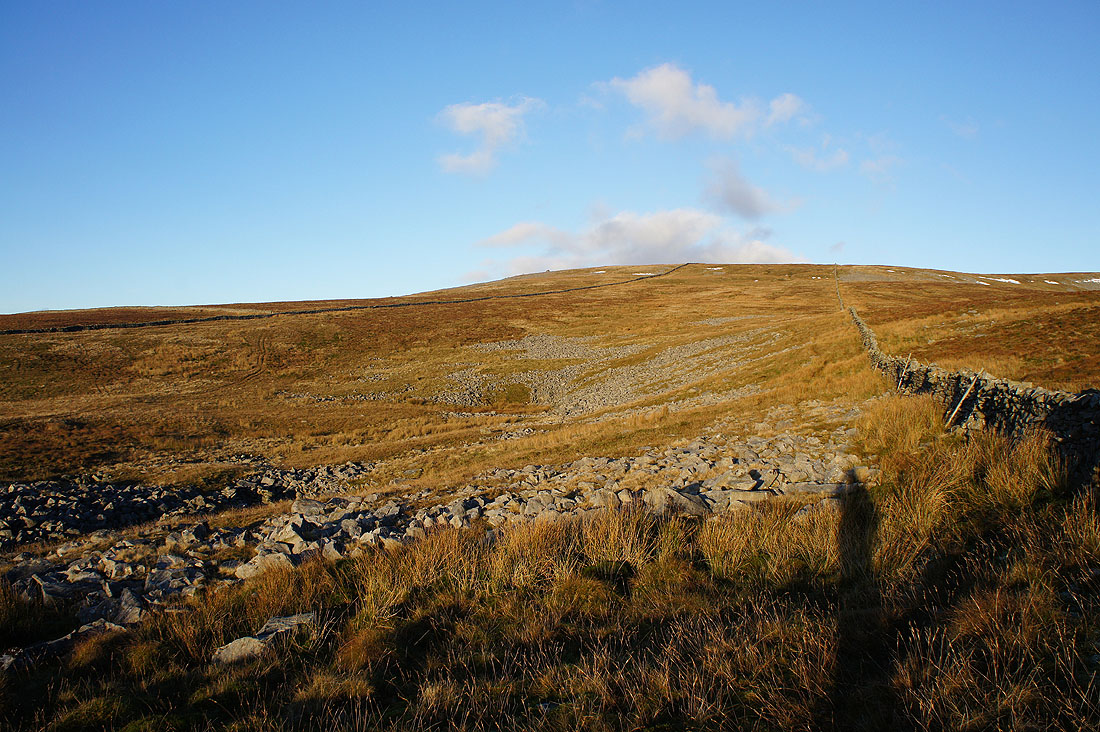
Time to head up. The track of Turbary Road petered out when it reached the wall on the left and fortunately I found a reasonably clear trod in the grass to follow uphill.
Turning round to look across to West Fell on the other side of Kingsdale and Ingleborough beyond. The sheepfold below is on the map.
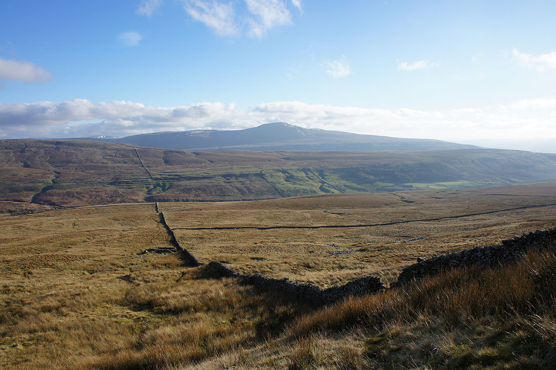
Whernside as I almost reach the top of the climb
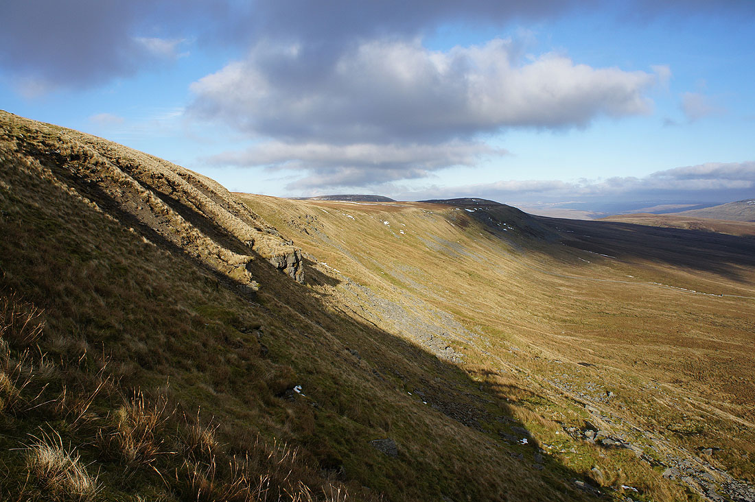
Looking north along the escarpment of Blakeamaya
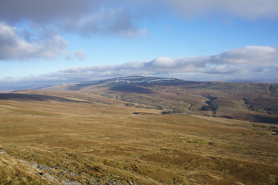
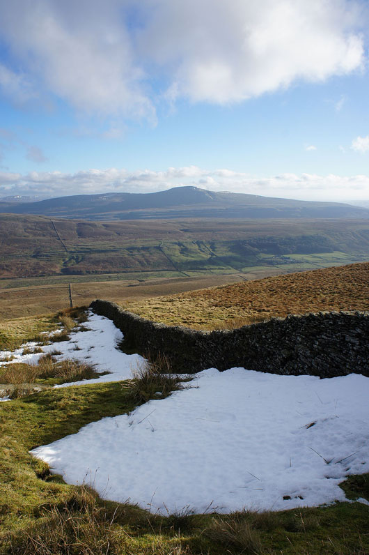
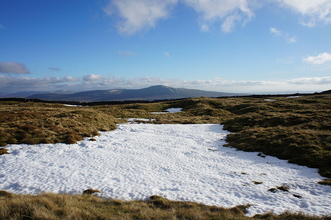
Ingleborough and patches of frozen snow
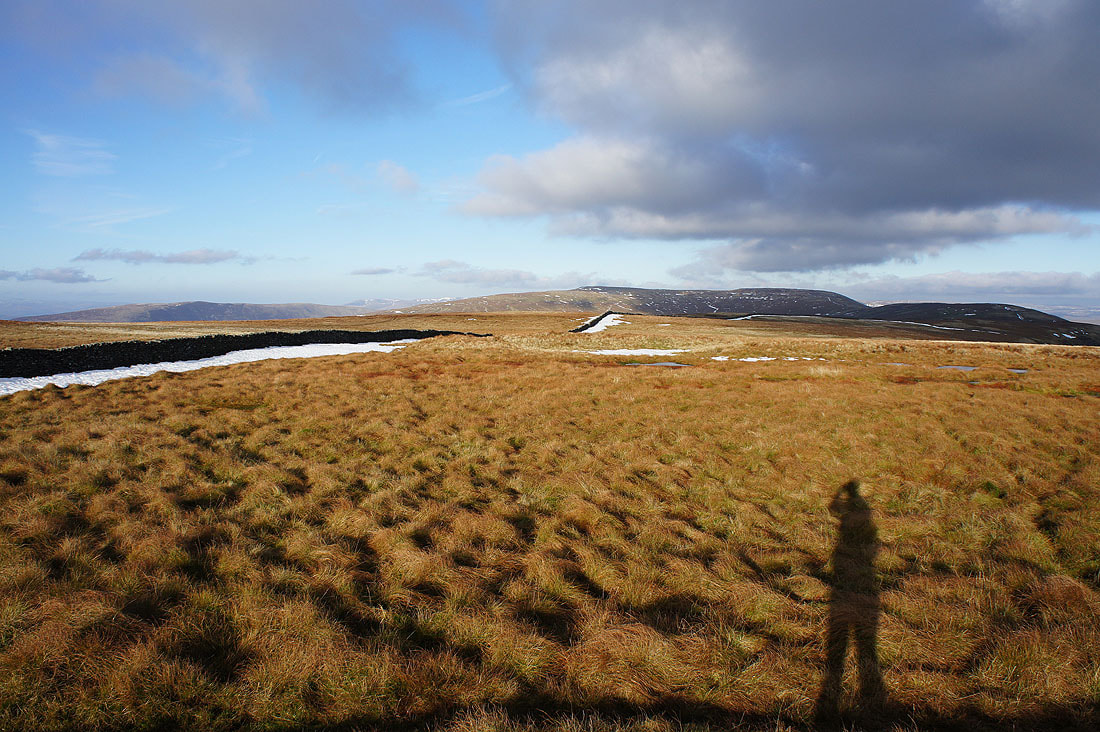
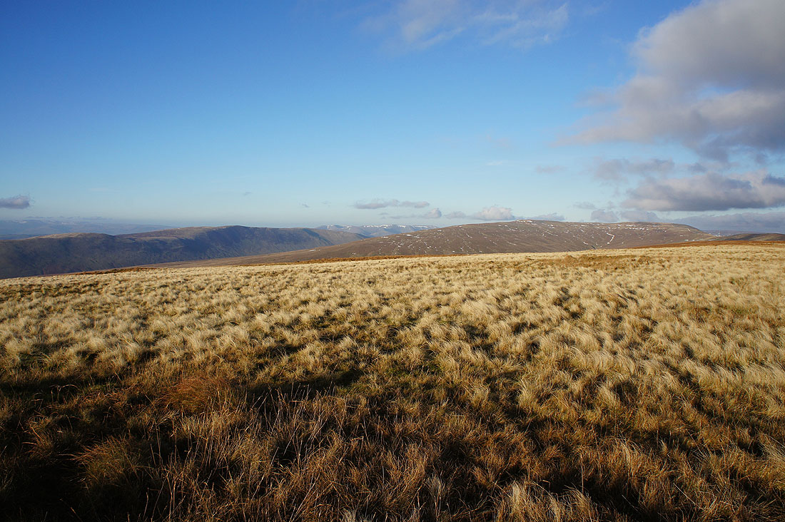
Looking north to Great Coum as I reach the broad summit of Gragareth
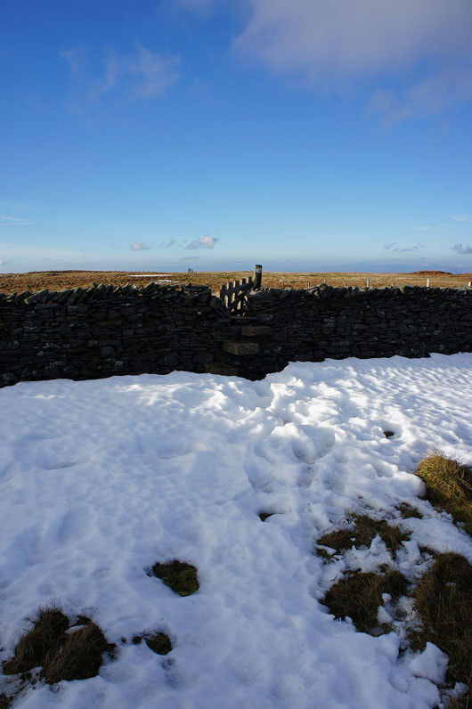
The stile that will give me access to the trig point and the other side of the fell
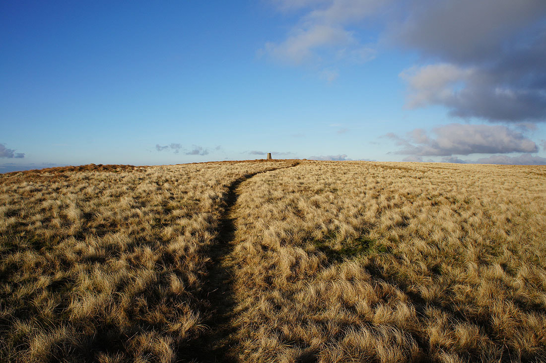
Ingleborough as I head for the trig point
I went straight past it though and down the hillside to the cairns of the Three Men of Gragareth. The valley of Lunesdale below.
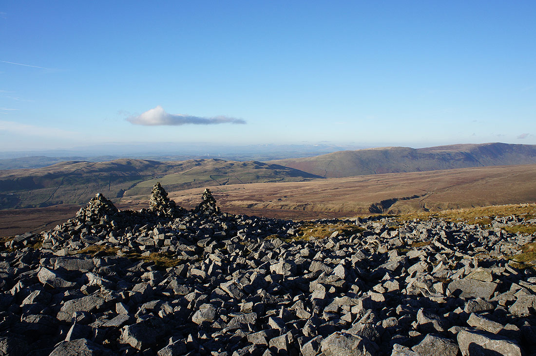
Barbon Low Fell, Middleton Fell and despite a bit of haze I can make out the Lake District fells in the distance
Middleton Fell and Crag Hill with a bit of the Howgills visible in the gap between them
Back at the trig point. Whernside in the distance..
..and Ingleborough
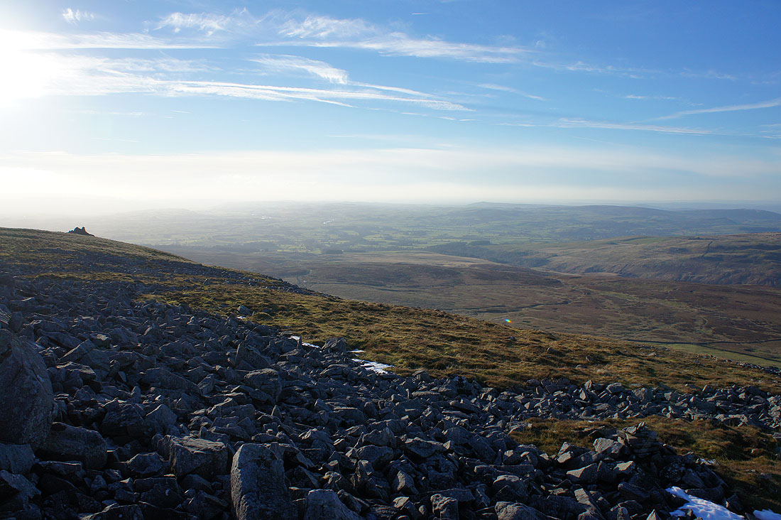
A hazy view across Lunesdale
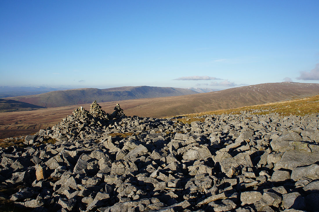
The view to the northwest of Barbon Low Fell, Middleton Fell and the hazy outline of the Lake District fells. It's 1420 and a lovely light is developing across the moor.
Middleton Fell, the Howgills, Crag Hill and Great Coum
Leaving the trig point behind
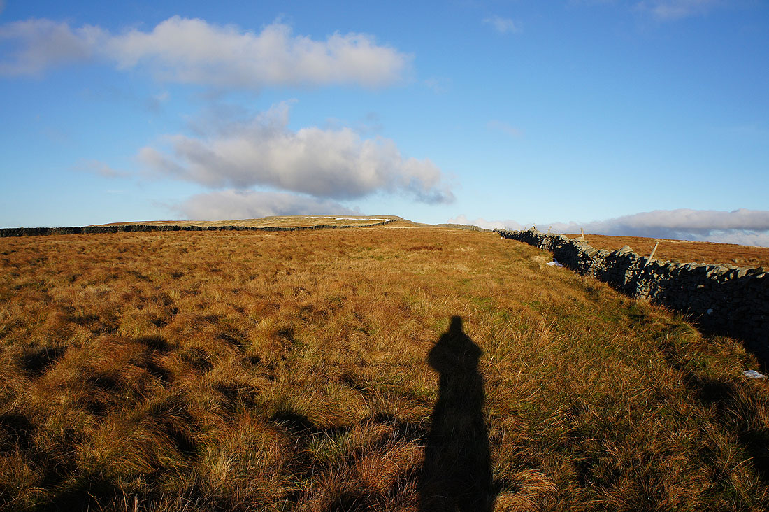
The top of Ireby Fell. A stile and gate gave me access.
A quadbike track helps me follow the wall downhill
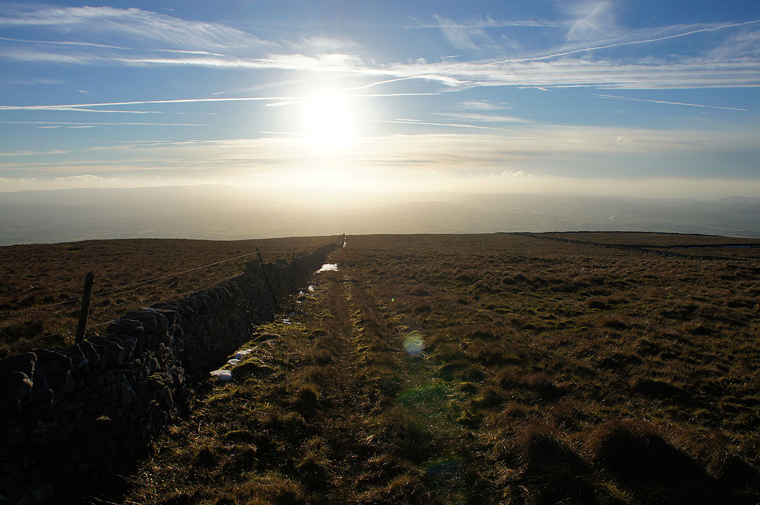
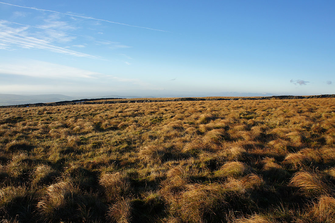
On Ireby Fell at 1445. The moorland looks great in the low winter sun..
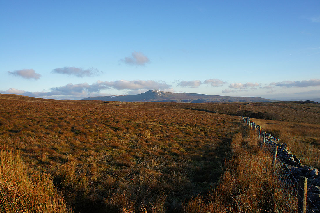
Ingleborough back in view
and that was the point where I crossed the wall to follow a path across to Turbary Road. There are a number of named potholes in this area; Marble Steps Pot, Lamb Pot and Steps Pot which are in the stand of trees on the left of the photo.
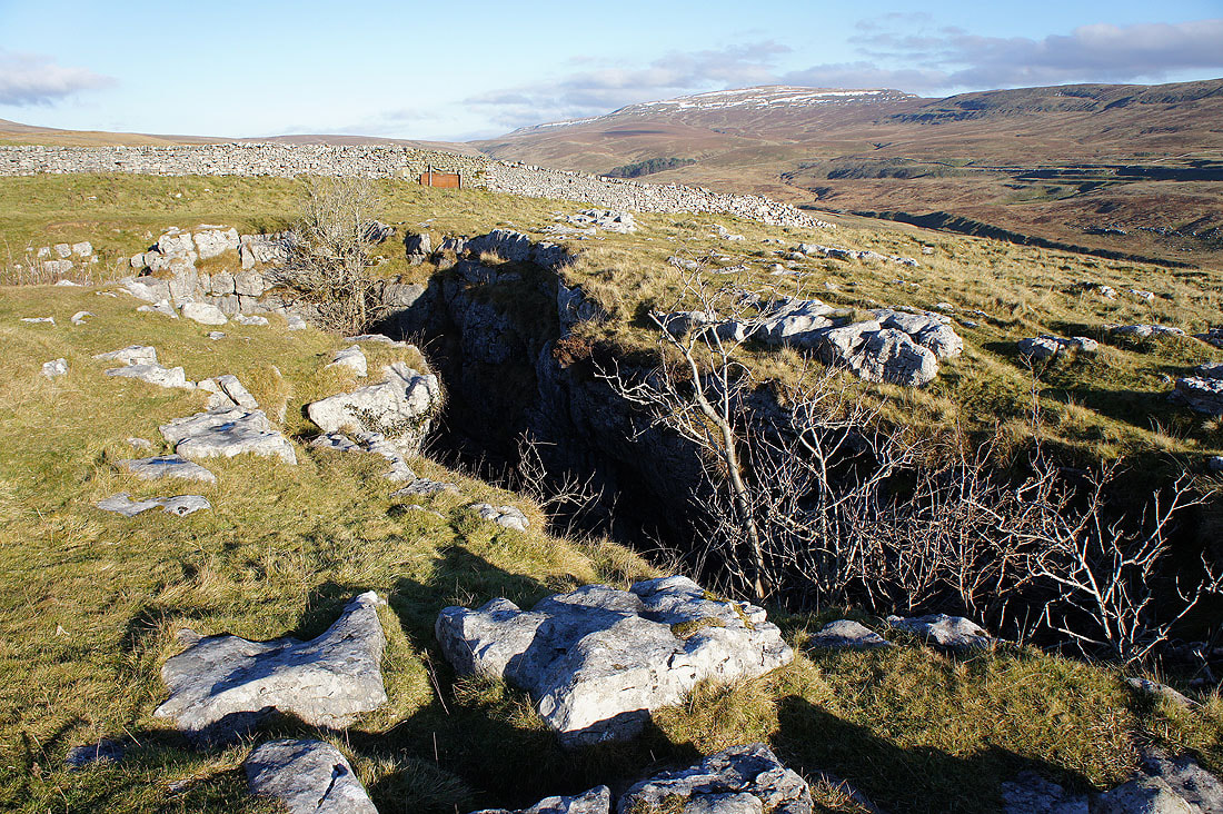
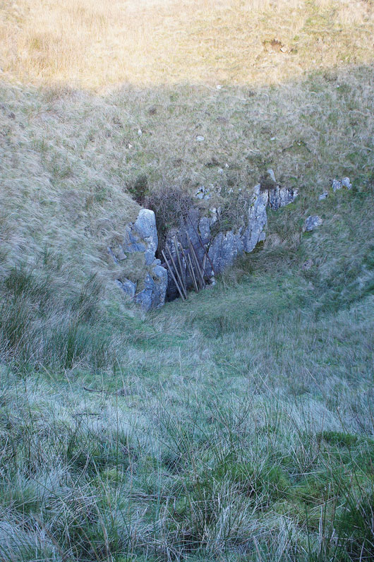
I also passed this hole in the ground. I'm not sure if it has a name or if it's just one of the "Shake Holes" on the map but I did go down and have a look. If you were so inclined then you could go underground.
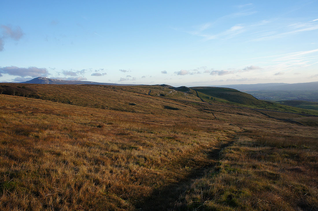
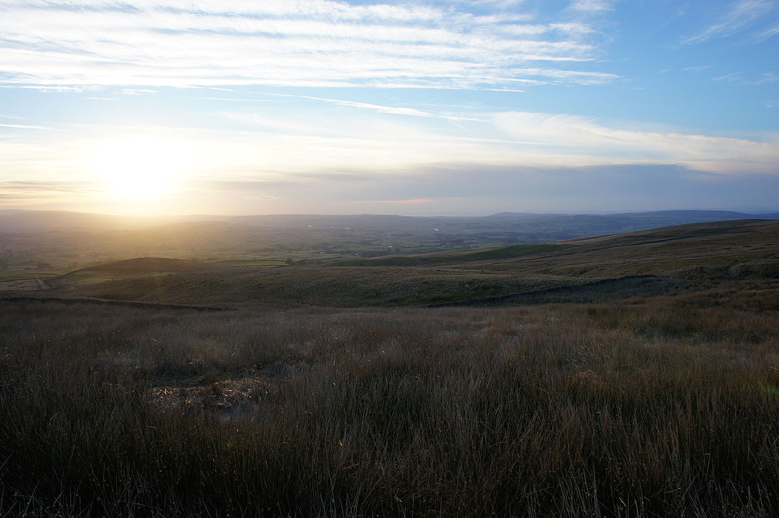
The sun starts to set over Lunesdale
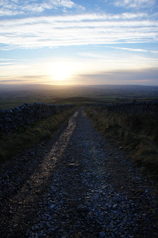
On my way down Turbary Road..
..and onto the track of Tow Scar Road
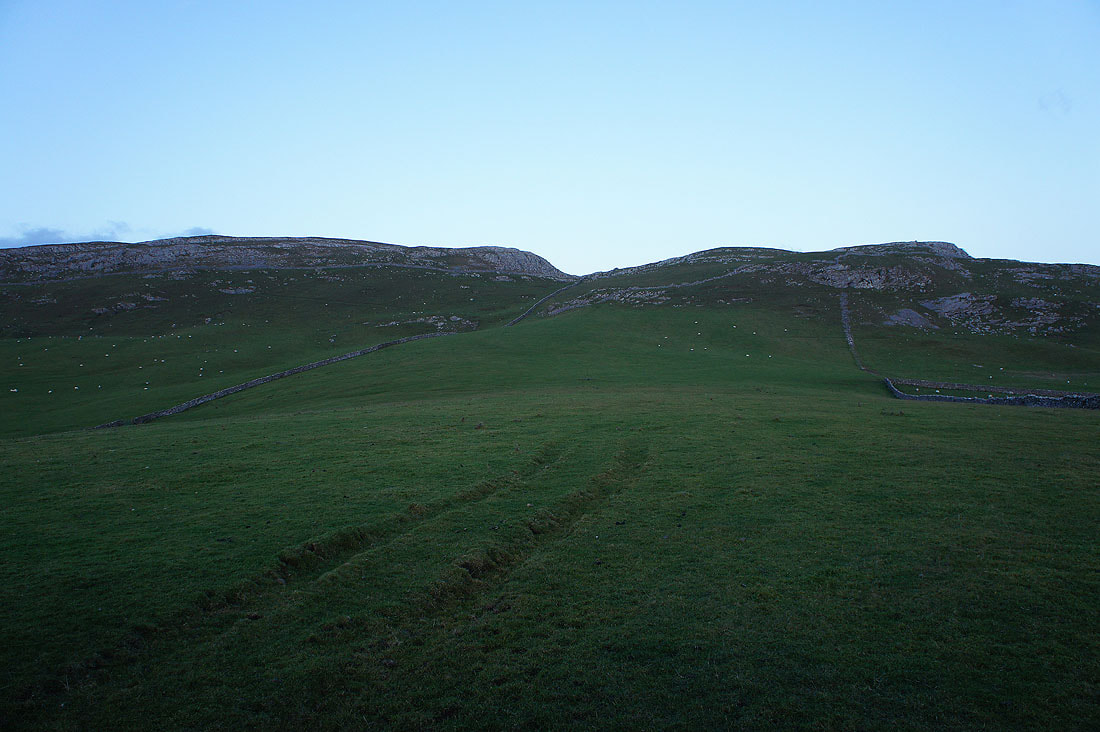
Tow Scar and Hunt's Cross
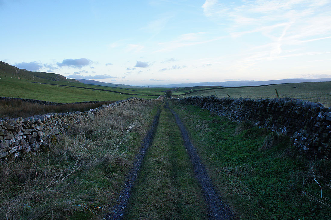
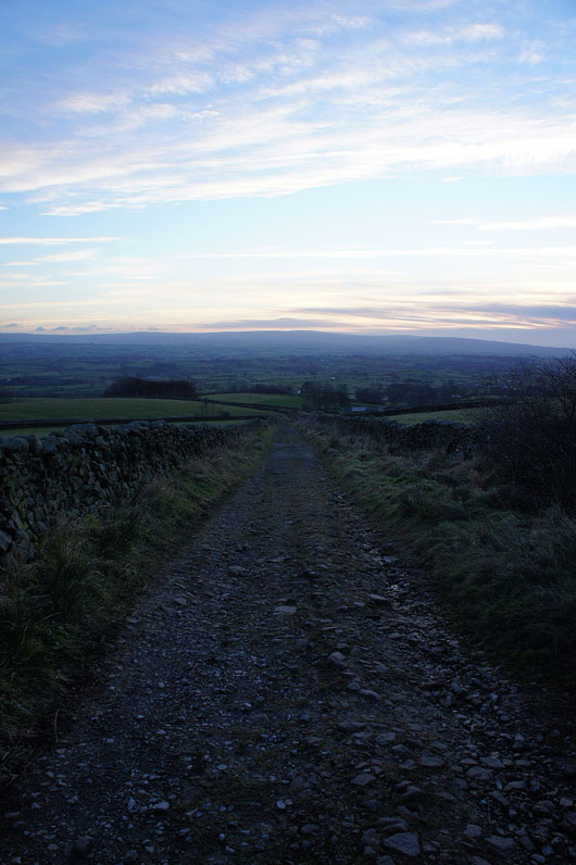
Heading down Tow Scar Road to Westgate Lane in the failing light
