4th July 2015 - The moors above Kelbrook
Walk Details
Distance walked: 8.8 miles
Total ascent: 1562 ft
OS map used: OL21 - South Pennines
Time taken: 5 hrs
Route description: Kelbrook-Heads Lane-Pennine Bridleway-Harden Old Barn-Kitchen Farm-Scald Bank-Black Lane Ends-Warley Wise Lane-Pennine Bridleway-Knarrs Hill-Pendle Way-Shaw Gate Farm-Flass Bent Farm-Great Edge-Noyna End Farm-Noyna Hill-Old Stone Trough Lane-Kelbrook
I was in two minds about which day to walk on this weekend. Saturday afternoon was forecast to be good once the murk had cleared from the overnight storms while Sunday would be cooler with sun and showers. I think I made the right choice by heading out on Saturday afternoon. There were some lovely warm sunny spells (with a cloudy spell in the middle of the walk) plus a cooling breeze and I particularly enjoyed the view from Noyna Hill at the end of the afternoon. My drive to work now takes me through this countryside and it was good to appreciate seeing it on foot.
After parking on Church Lane in Kelbrook I made my way up the bridleway of Heads Lane and onto the Pennine Bridleway to Harden Old Barn and Kitchen Farm. From here I followed a footpath across to the Pendle Way which took me to Scald Bank and then Skipton Old Road at Black Lane Ends Tavern. I crossed the road onto Warley Wise Lane, a walk down the road and I reached the Pennine Bridleway which I followed to Knarrs Hill. On the other side of Knarrs Hill the Pennine Bridleway was left for the Pendle Way. After heading down through a few fields I reached a crossroads of paths at High Laith Beck, I turned right and made my way uphill through Shaw Gate Farm and back across Skipton Old Road to Flass Bent Farm. A path goes round the farm, then up onto the hill of Great Edge and down to Noyna End Farm on Cob Lane. I then made my way up onto Noyna Hill from Noyna End Farm for the best views of the day. After making my way down to the road at Cragg Farm outside Foulridge I followed Old Stone Trough Lane back to Kelbrook.
Route map
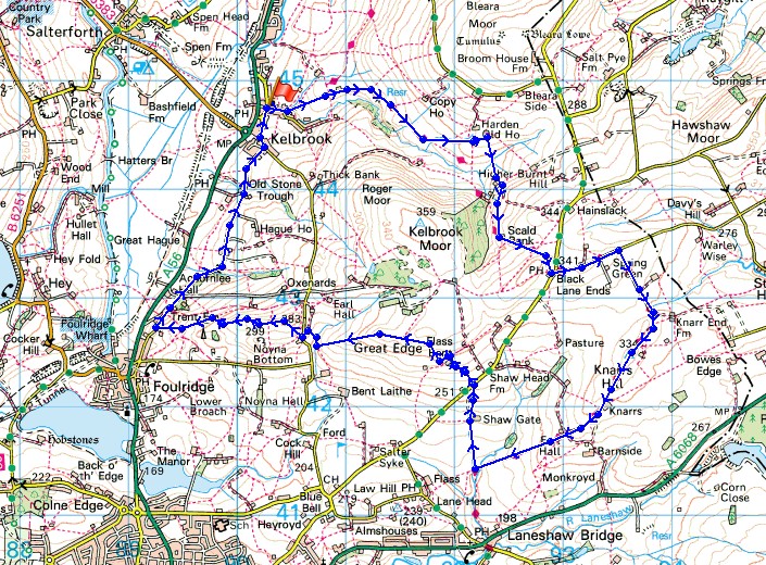
© Crown copyright. All rights reserved. License number PU 100034184.
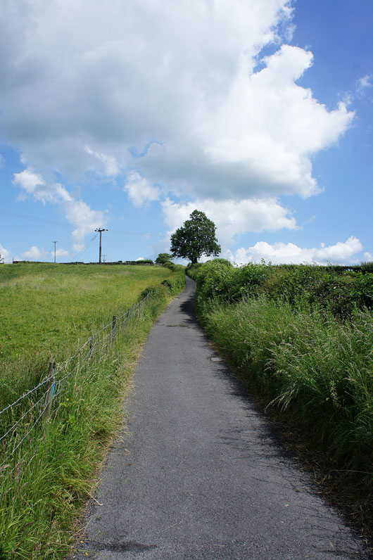
Leaving Kelbrook behind on the bridleway of Heads Lane, which soon becomes the Pennine Bridleway
Looking back to Kelbrook
Roger Moor to my right. Can't help doing an impression in my head.
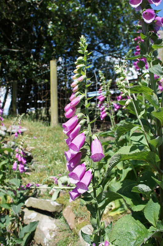
Lots of foxgloves in flower
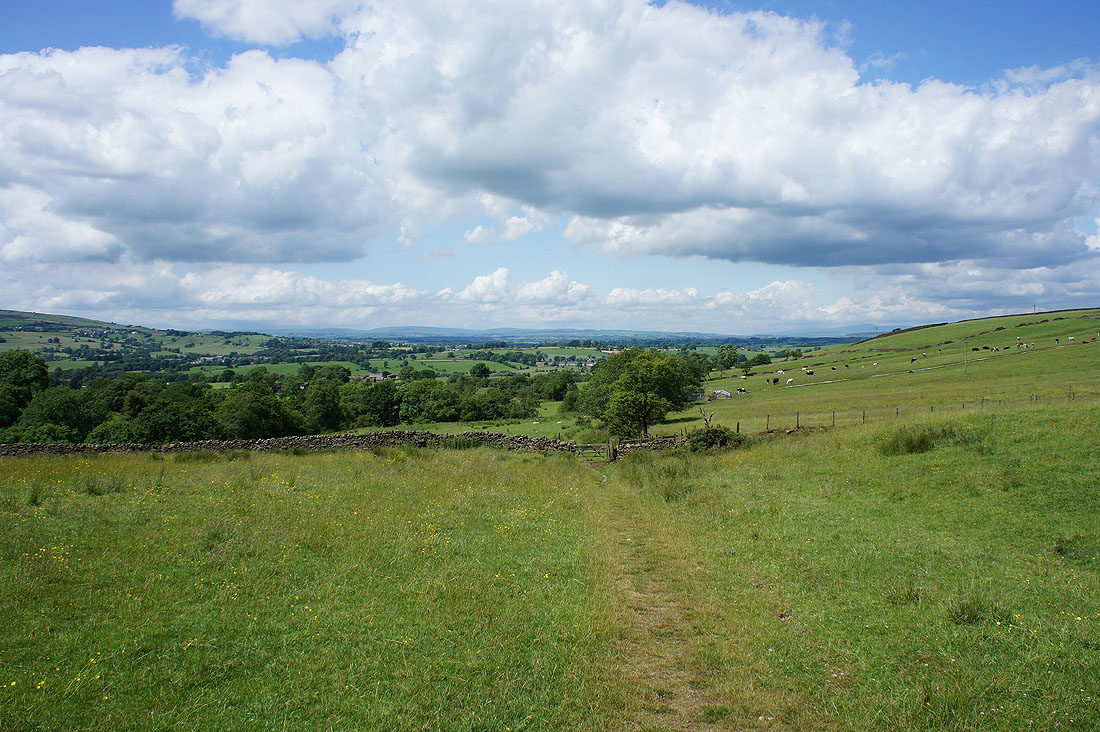
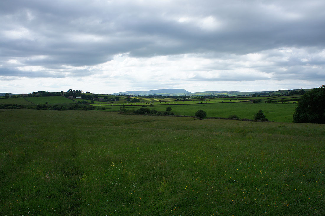
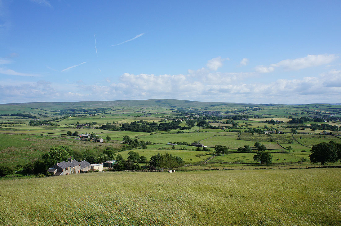
As I gain height the view becomes more extensive with the Forest of Bowland in the distance and Ingleborough can just about be made out on the right
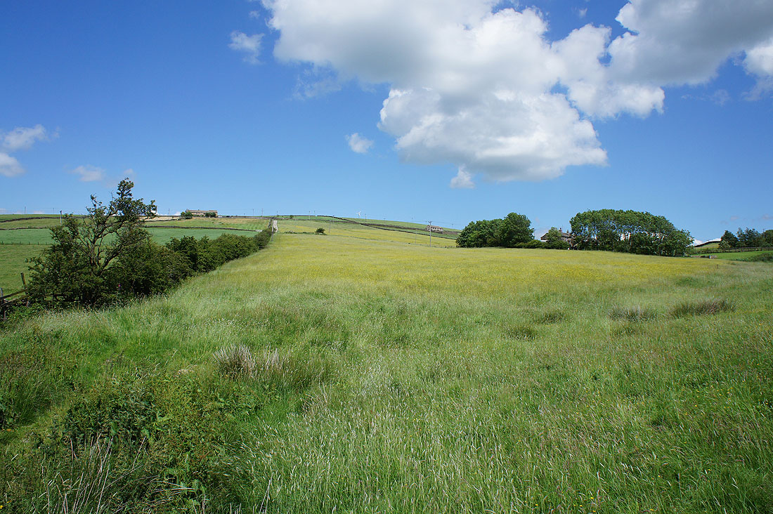
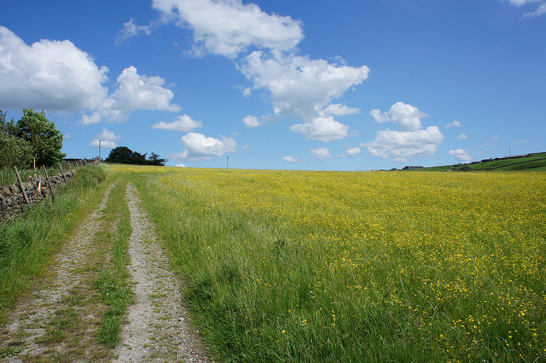
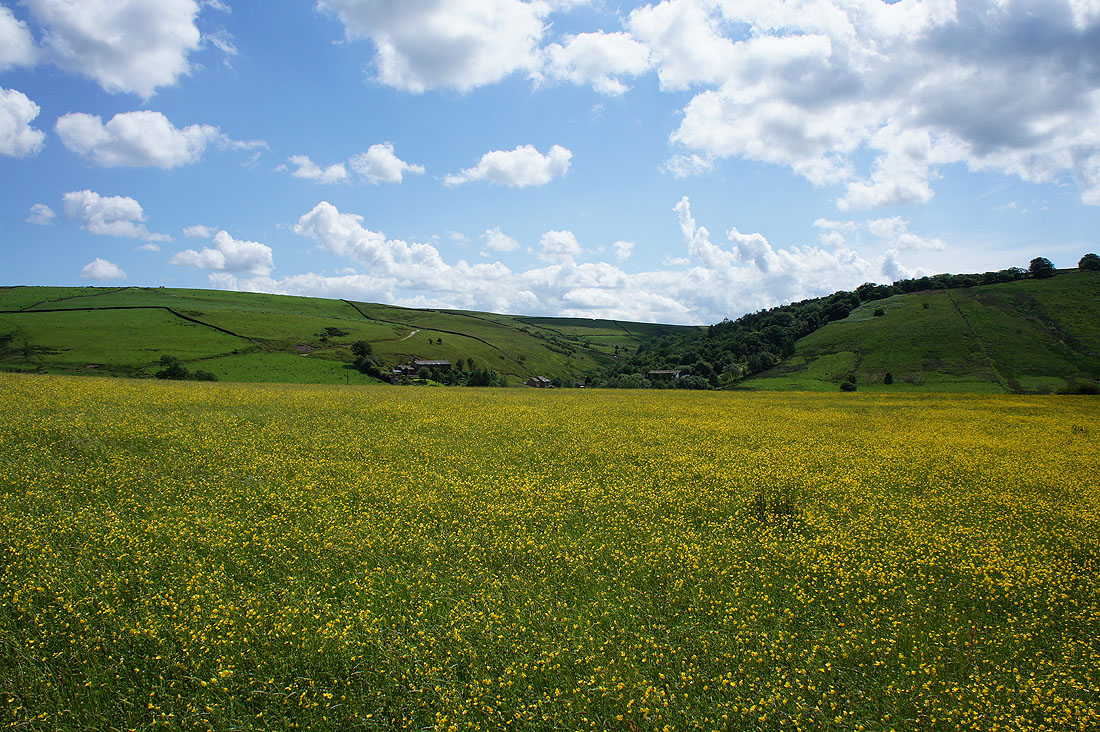
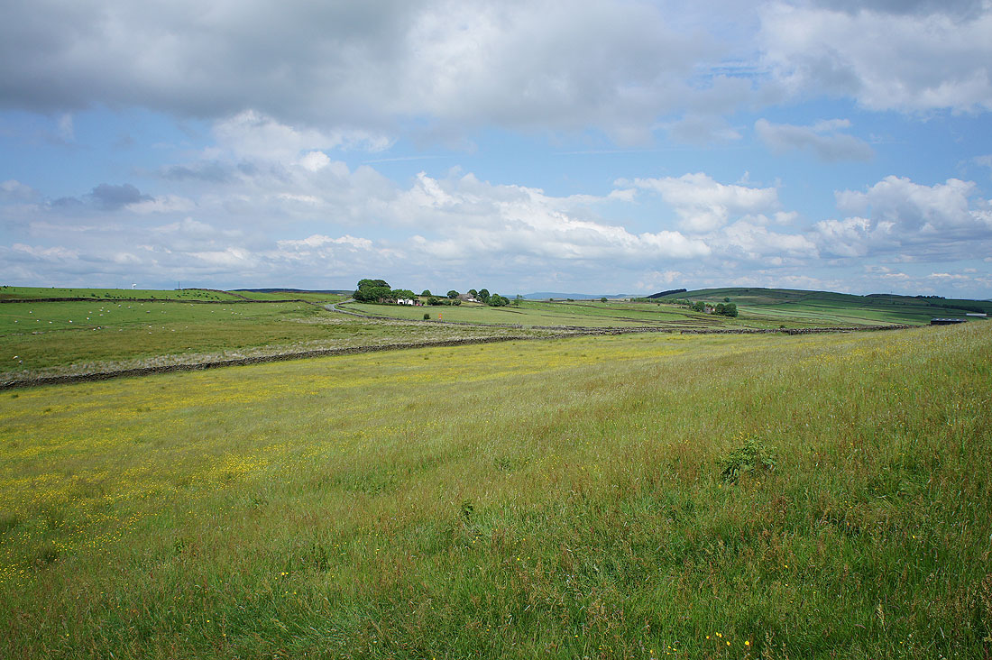
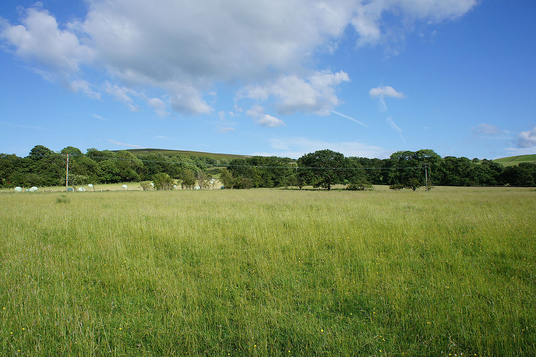
I do enjoy seeing these buttercup filled pastures below blue skies and fluffy clouds....
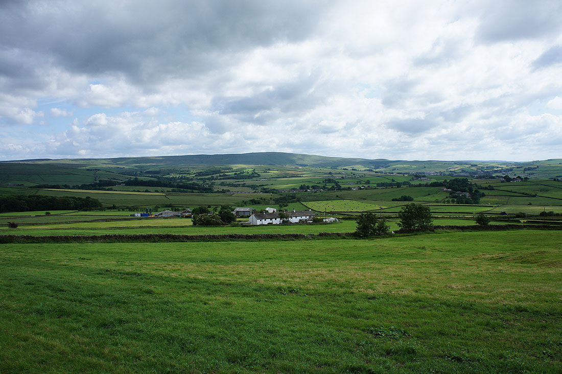
Above Harden Clough Farm and looking down Harden Beck towards Kelbrook
Past Scald Bank
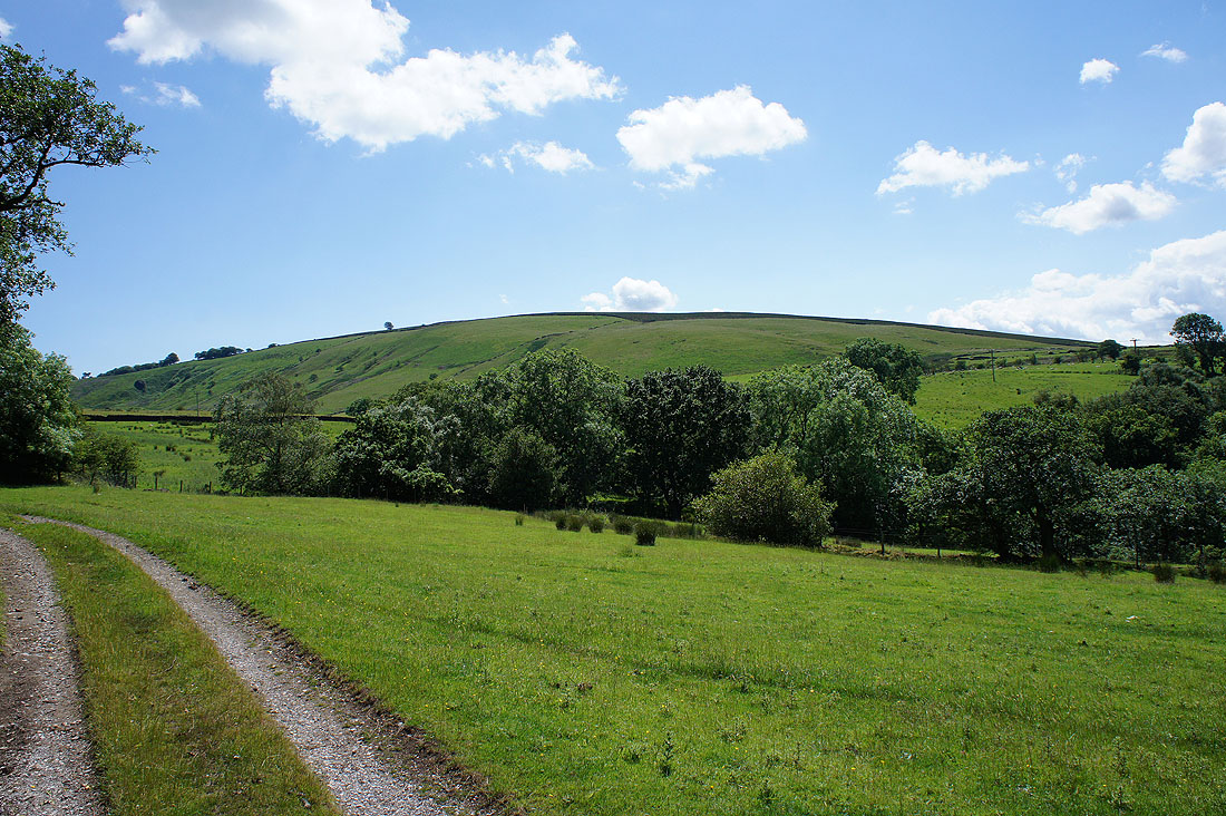
The moorland around Skipton Old Road, which I'll cross at Black Lane Ends Tavern
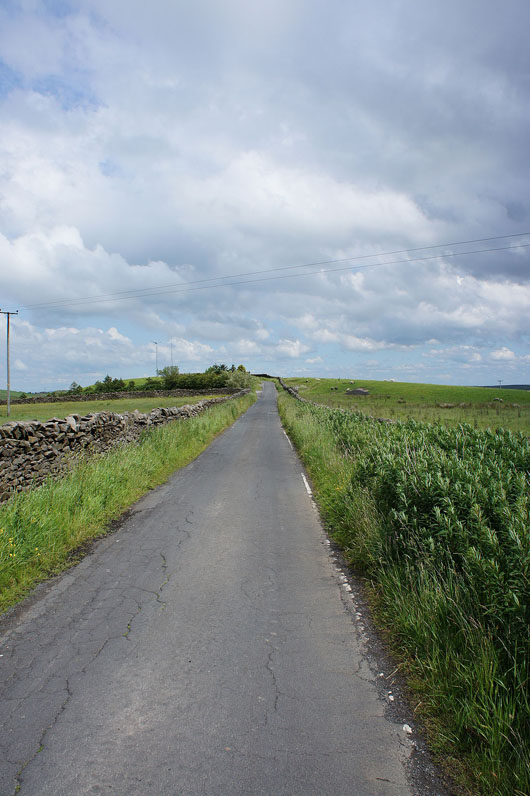
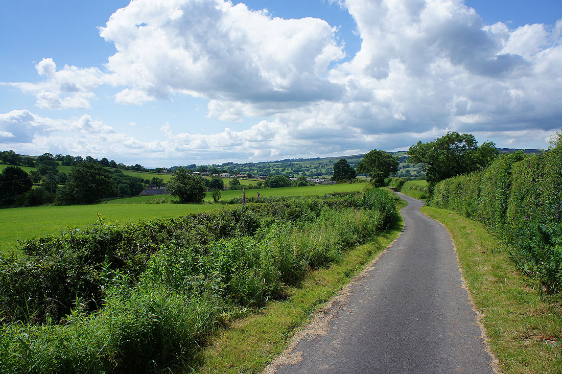
On Warley Wise Lane
The Pennine Bridleway then leaves the lane for this track towards Knarrs Hill
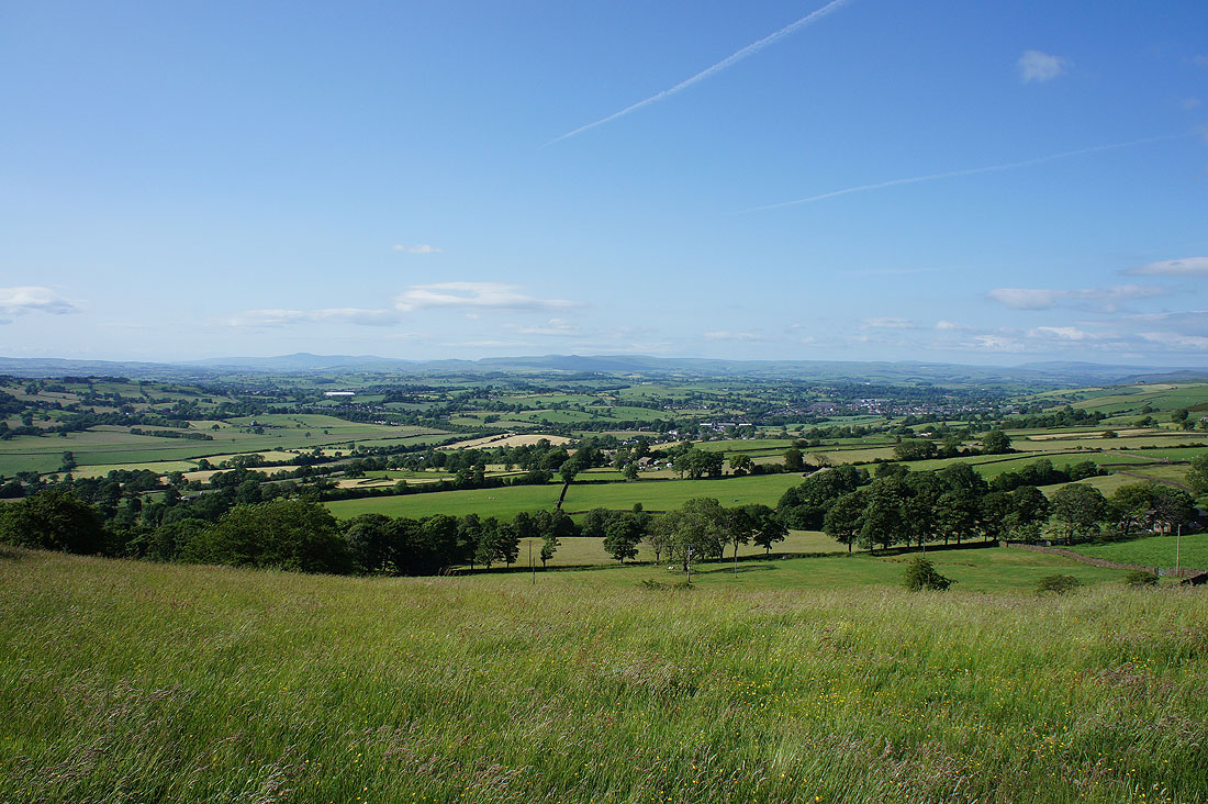
I've lost the sunshine for now but there's still some over Airedale
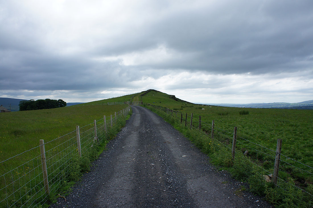
Knarrs Hill ahead
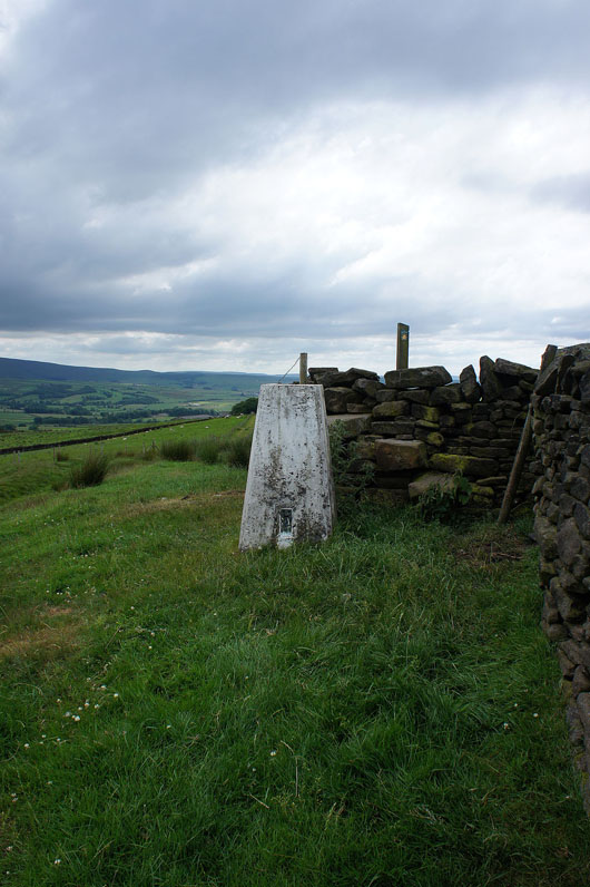
The trig point on Knarrs Hill, with a wall for close company
Pendle Hill from Knarrs Hill. Much to my surprise I found myself stood next to a picnic table.
Boulsworth Hill
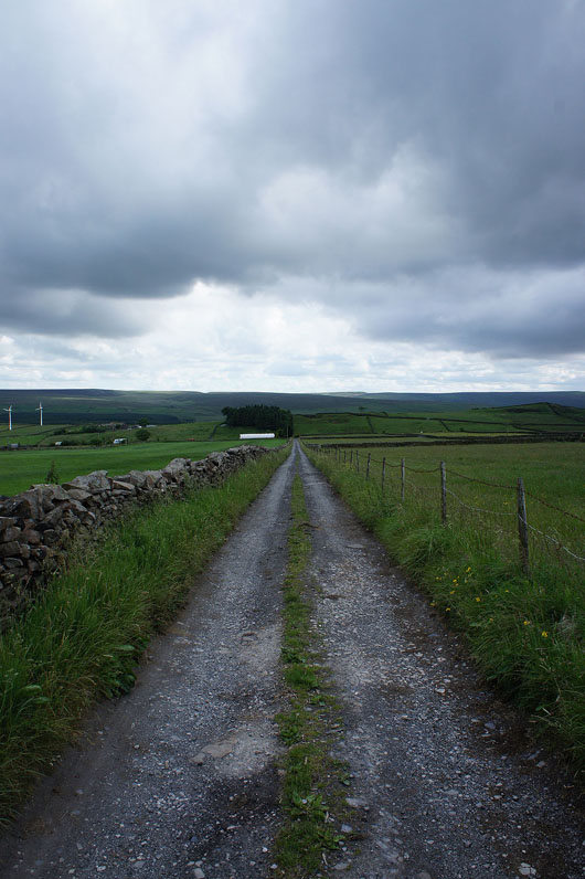
On the Pendle Way down towards Shawhead Beck, where I'll turn right and head uphill to cross back over Skipton Old Road
Boulsworth Hill above Shay Head Cottages from the driveway to Flass Bent Farm
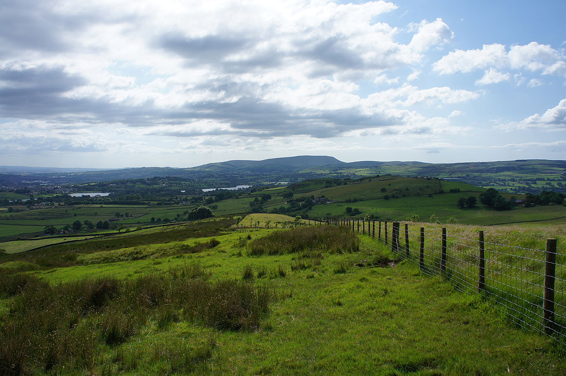
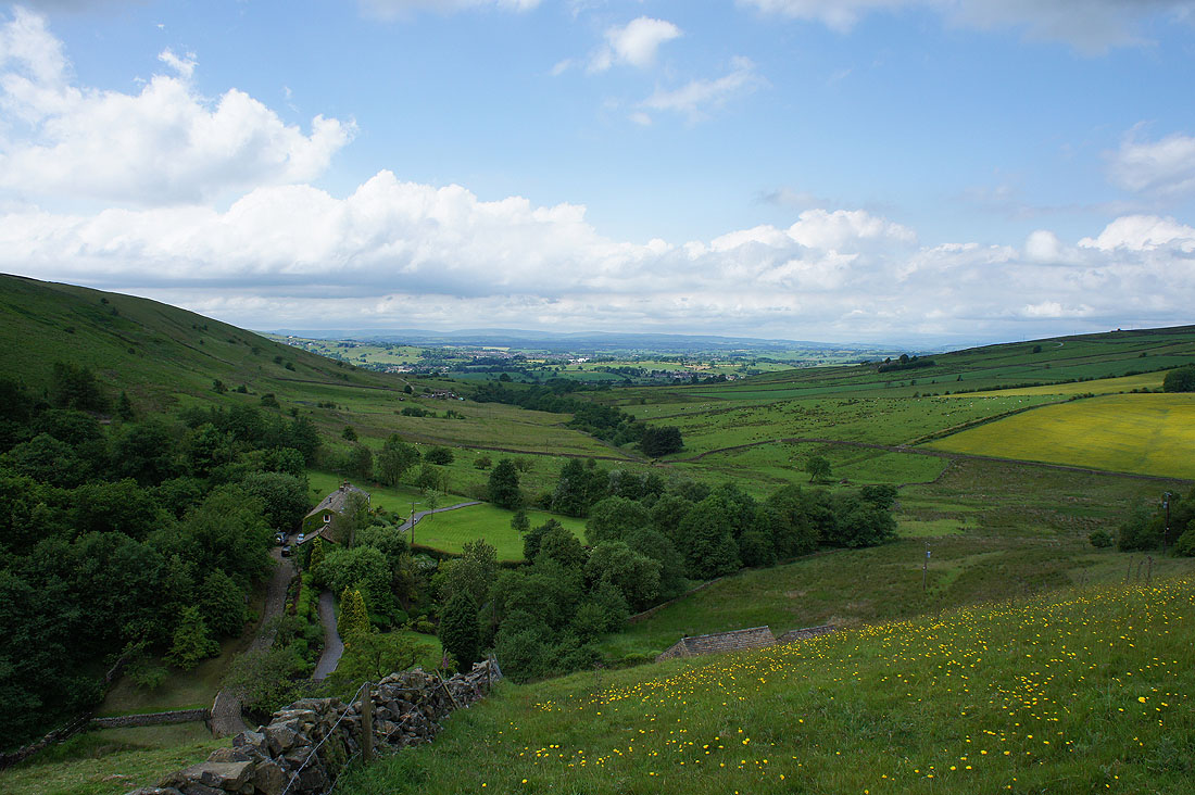
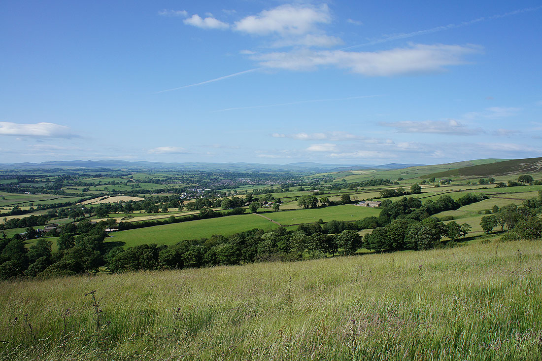
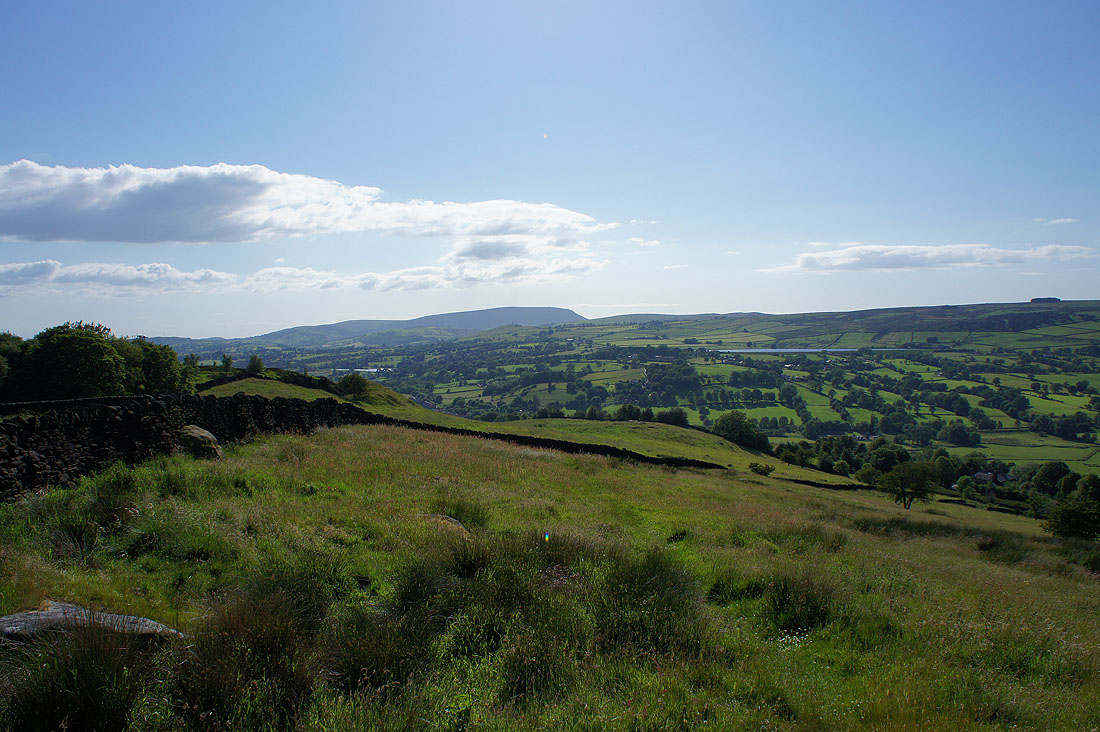
and Pendle Hill as I head down Great Edge. The two stretches of water are Foulridge Upper Reservoir on the left and Foulridge Lower Reservoir on the right.
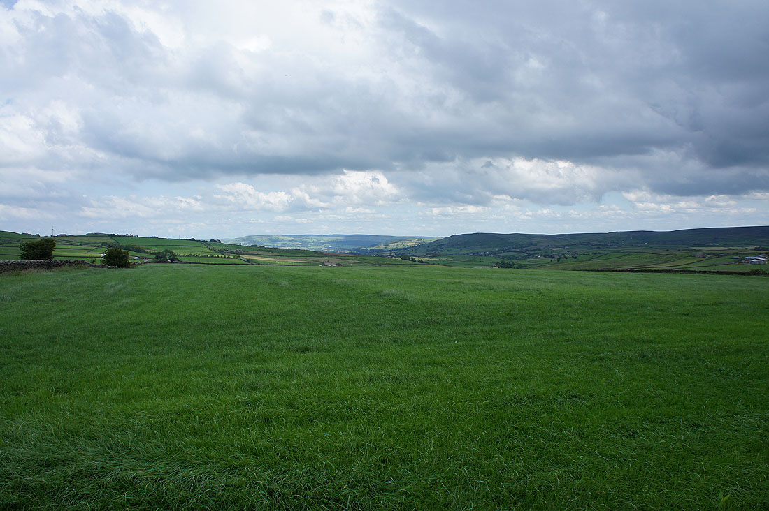
For the first time in quite a while the view opens up to the north. I should get a better one from Noyna Hill.
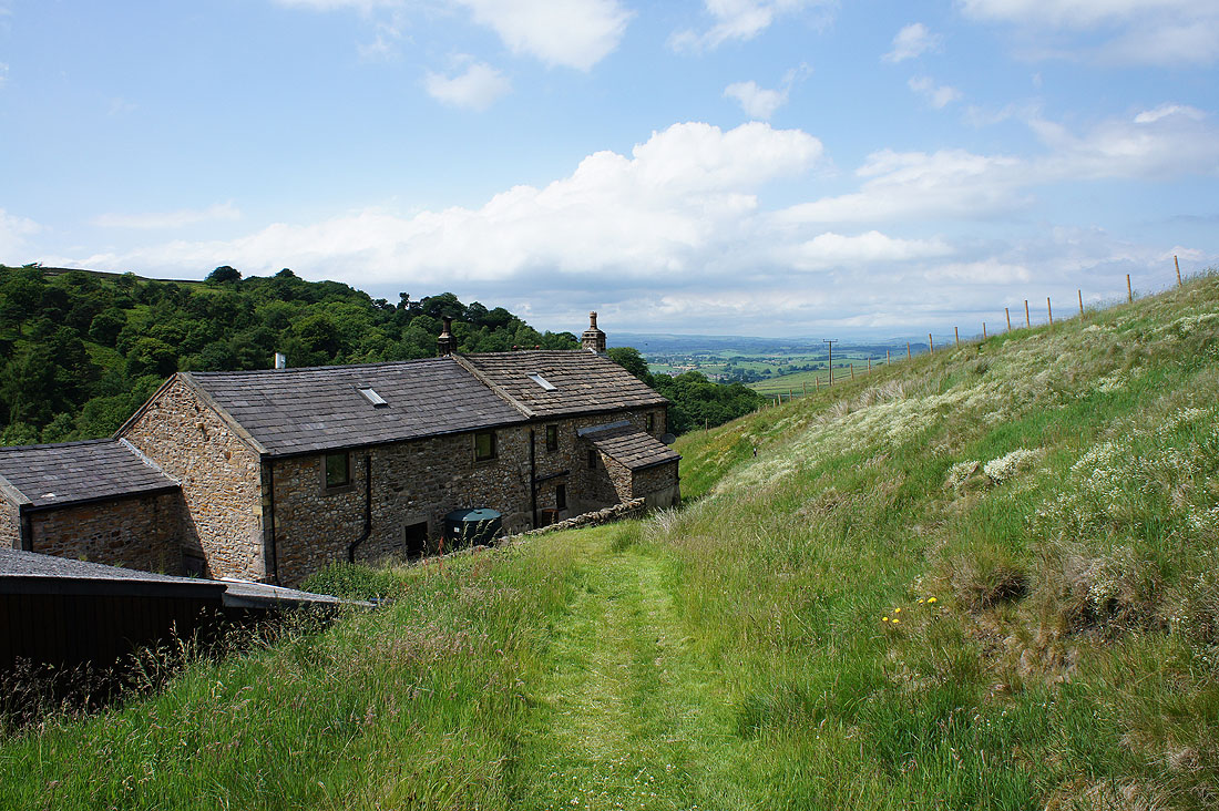
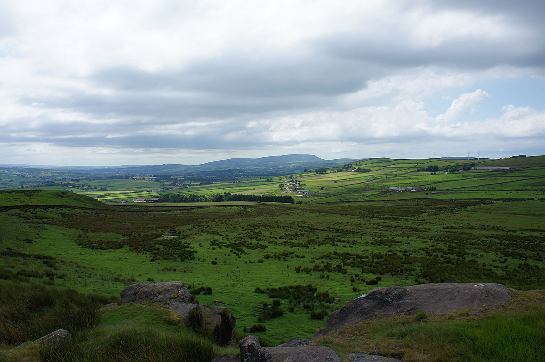
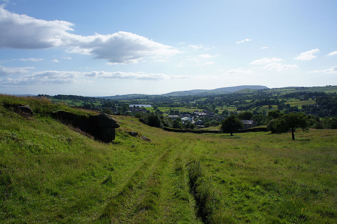
Boulsworth Hill from above Noyna End Farm as I head up Noyna Hill. It may be small in stature but it more than makes up for it with the view it commands.
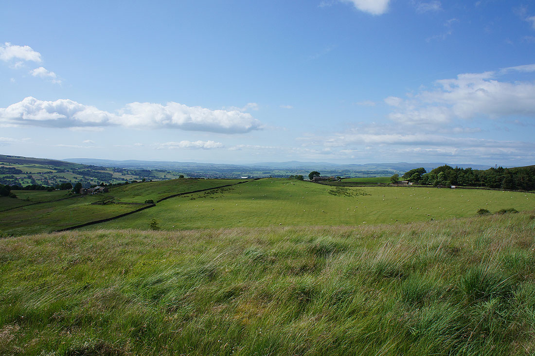
Particularly this one, looking north towards Ingleborough and the hills above Settle and Malham..
..with Great Whernside above Wharfedale in the distance on the right
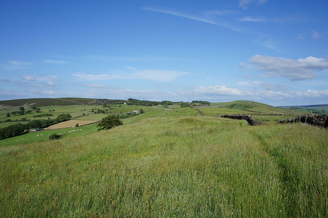
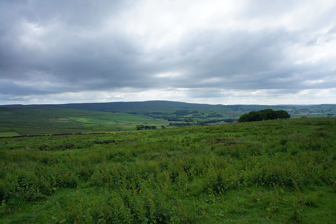
Looking back along the top of Noyna Hill. Kelbrook Moor on the left and Great Edge on the right.
Pendle Hill as I make my way down to Foulridge..
A lovely end to the afternoon..
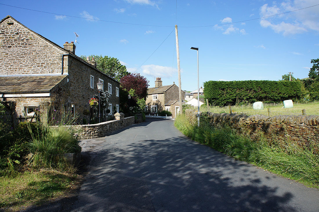
..as I make it back to Kelbrook