4th June 2011 - The Great Ridge
Walk Details
Distance walked: 12.3 miles
Total ascent: 2680 ft
OS map used: OL1 - The Peak District, Dark Peak area
Time taken: 7.5 hrs
Route description: Edale-Barber Booth-Chapel Gate-Lord's Seat-Mam Tor-Hollins Cross-Back Tor-Lose Hill-Townhead-Bagshaw Bridge-Backside Wood-Clough Farm-Rowland Cote-Ollerbrook Booth-Edale
A walk from Edale over the Great Ridge of Lord's Seat, Mam Tor, Back Tor and Lose Hill.
Route map
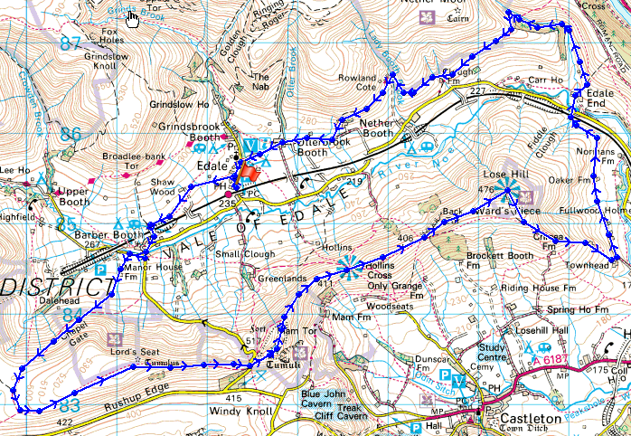
© Crown copyright. All rights reserved. License number PU 100034184.
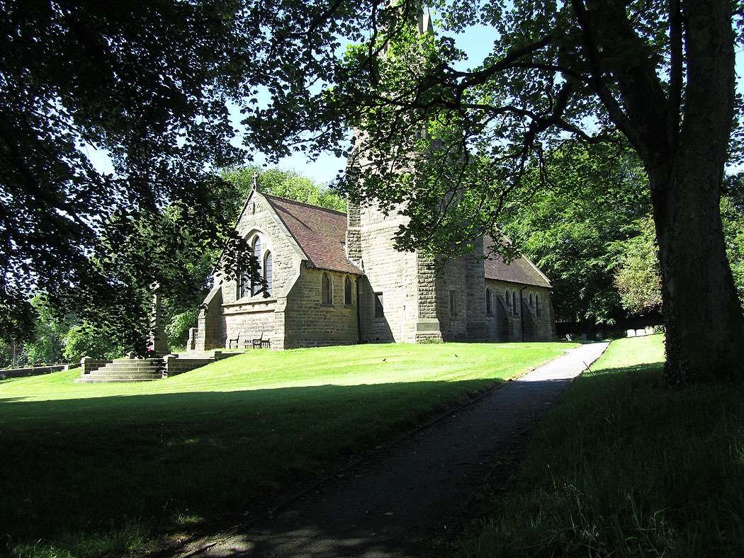
The parish church in Edale
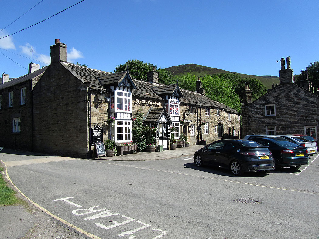
The Old Nag's Head pub. The official start of the Pennine Way. From here I followed the Pennine Way to Upper Booth.
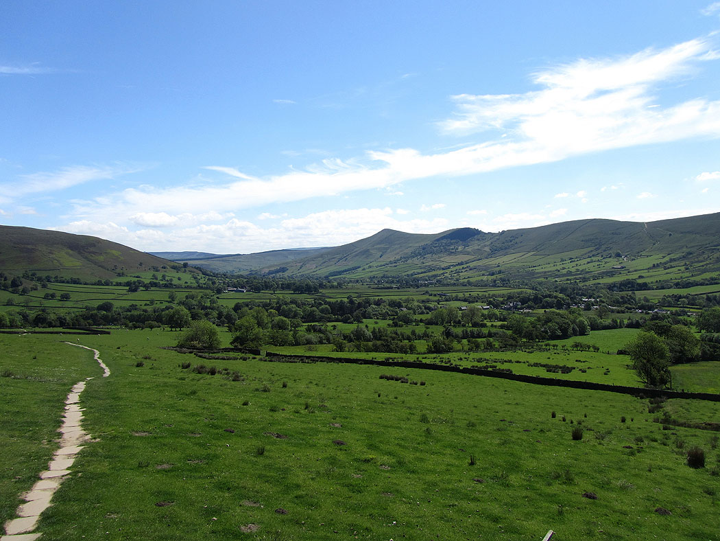
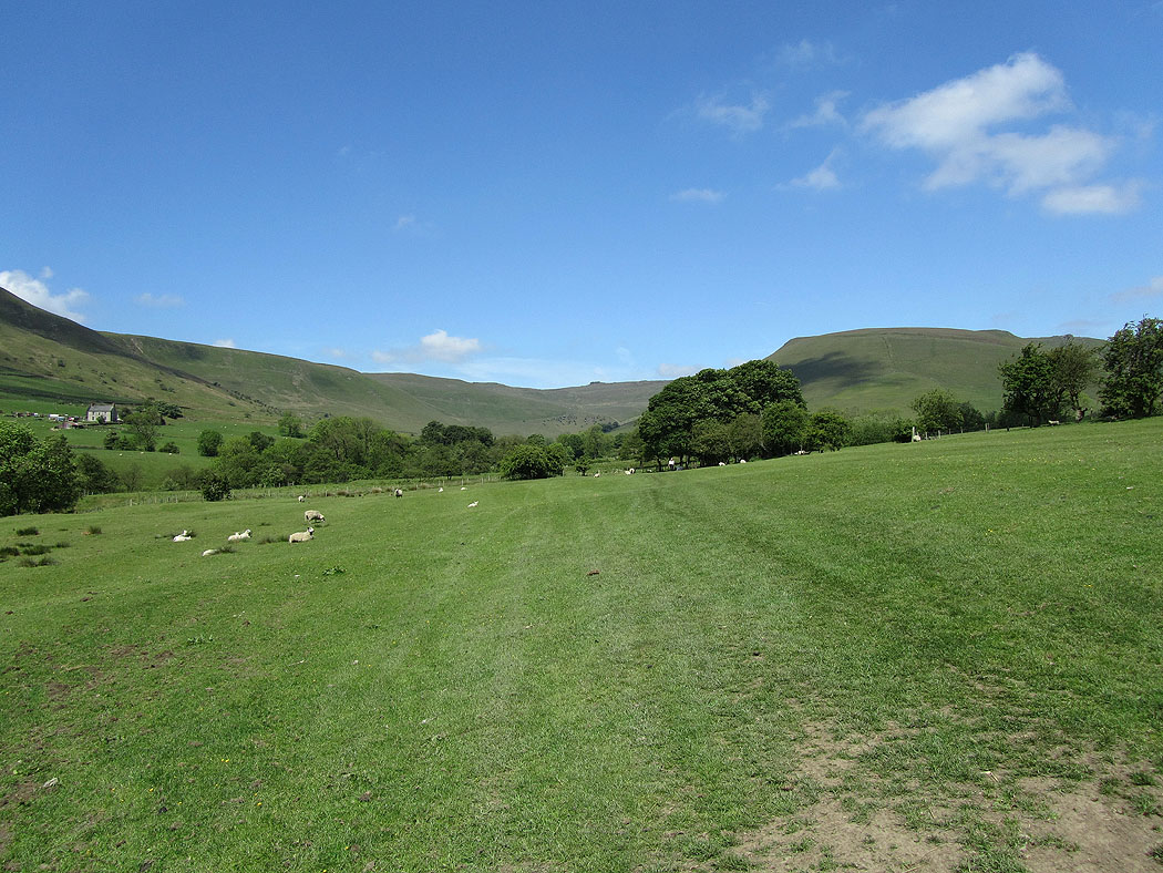
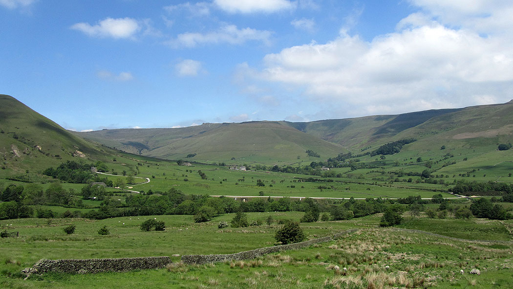
Views of the Vale of Edale from the path to Upper Booth..
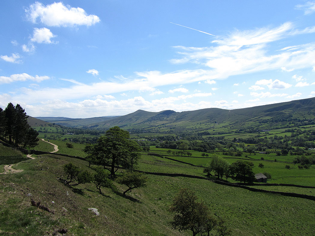
The head of Edale
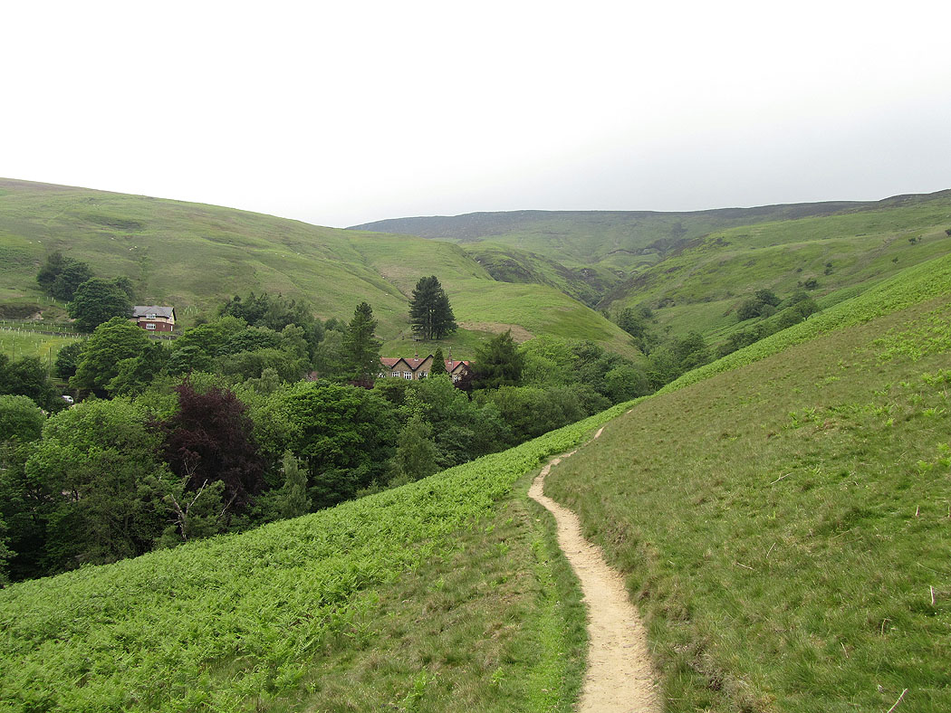
Upper Booth
Zooming in on Edale Rocks
Heading across fields to Barber Booth
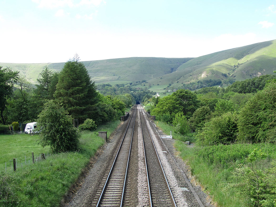
Gowburn Tunnel
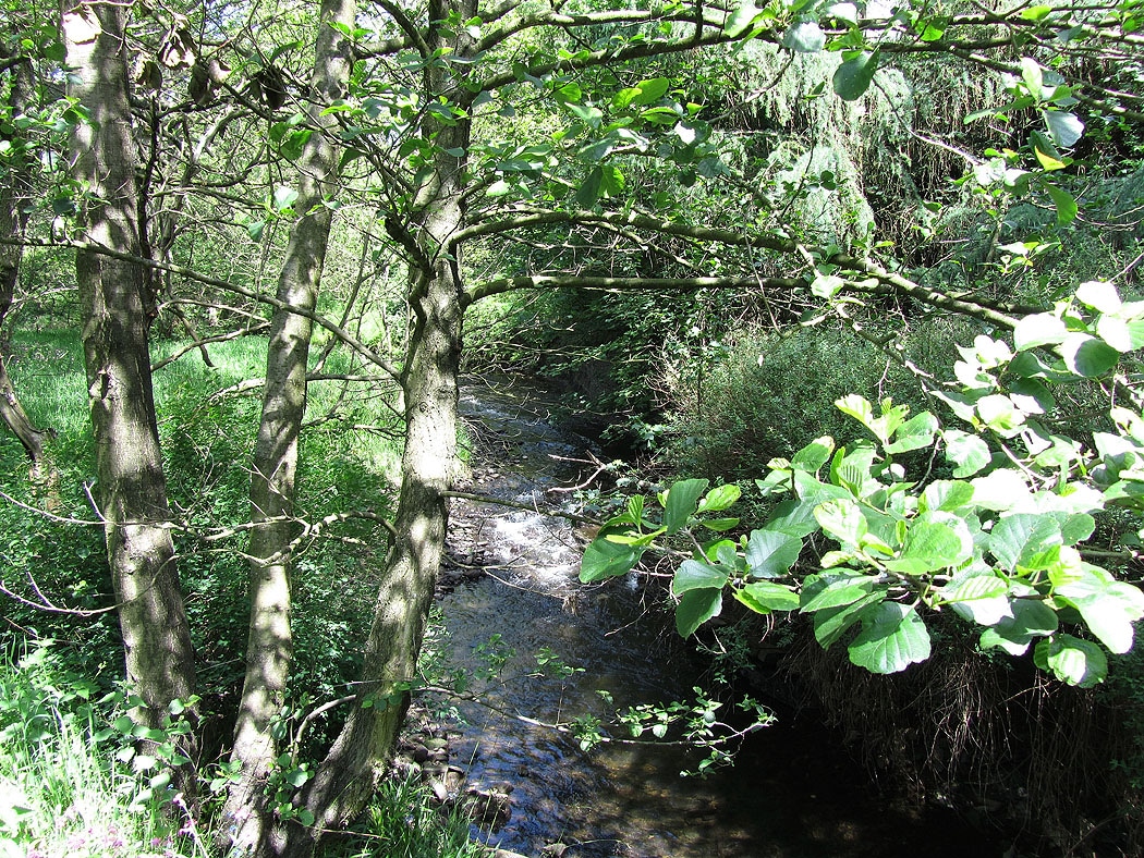
The River Noe at Barber Booth
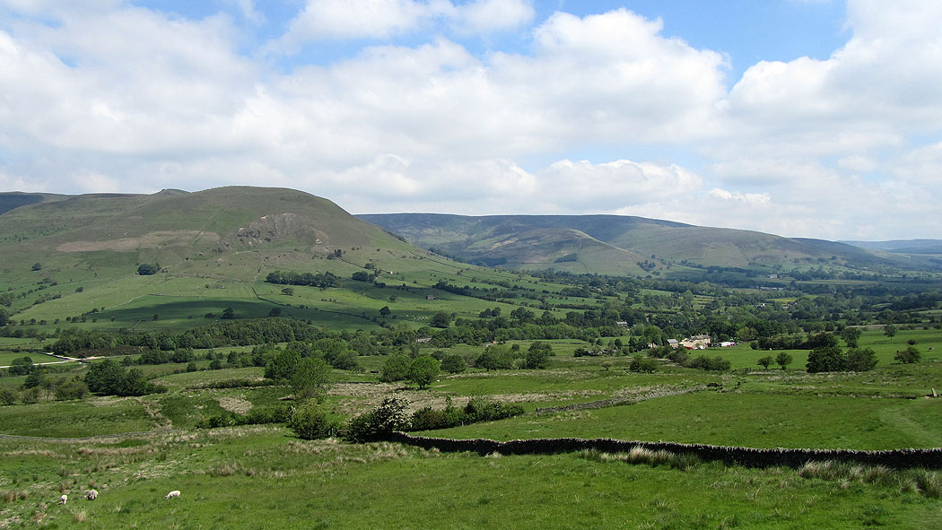
The Vale of Edale from the start of the Chapel Gate track
The southern edge of Kinder Scout..
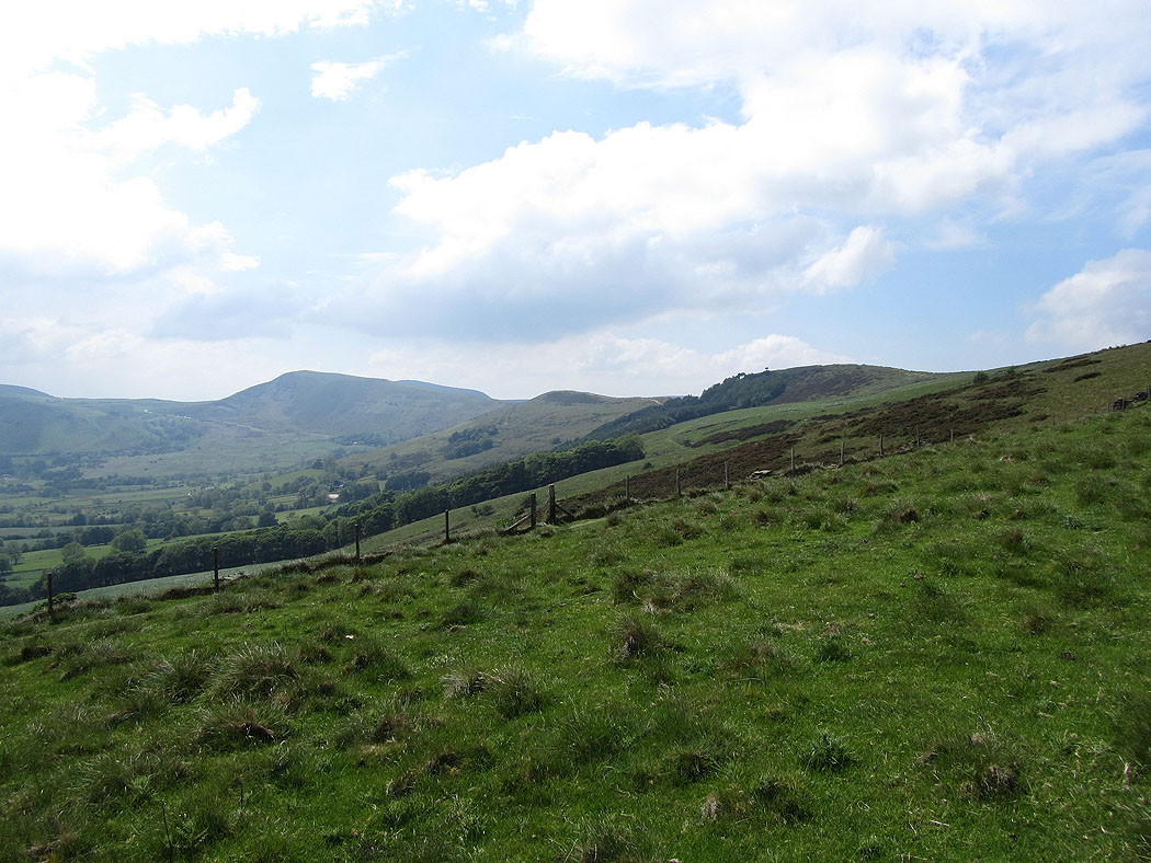
Looking south to Axe Edge Moor, Black Edge and Shining Tor as I head for Lord's Seat
Mam Tor and the Great Ridge from Lord's Seat
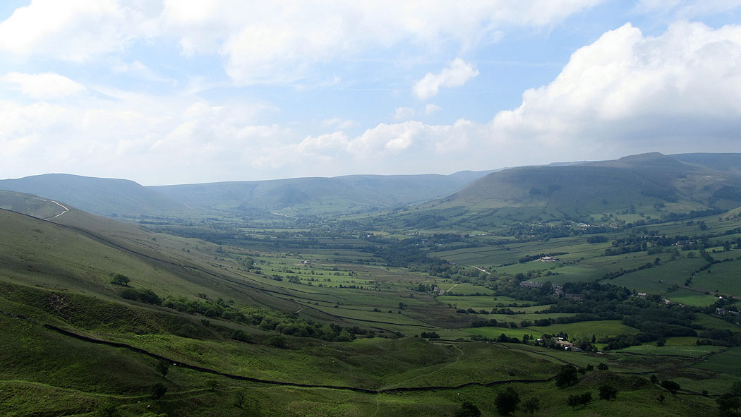
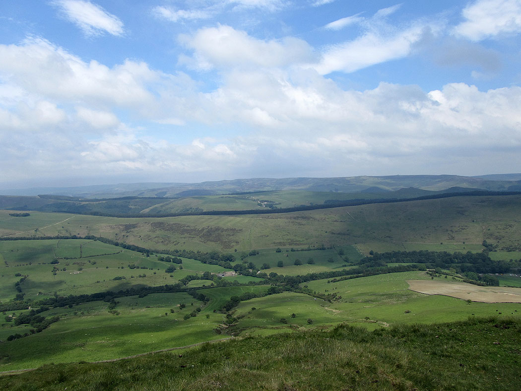
and the Vale of Edale
Kinder Scout from Lord's Seat..
Heading for Mam Tor
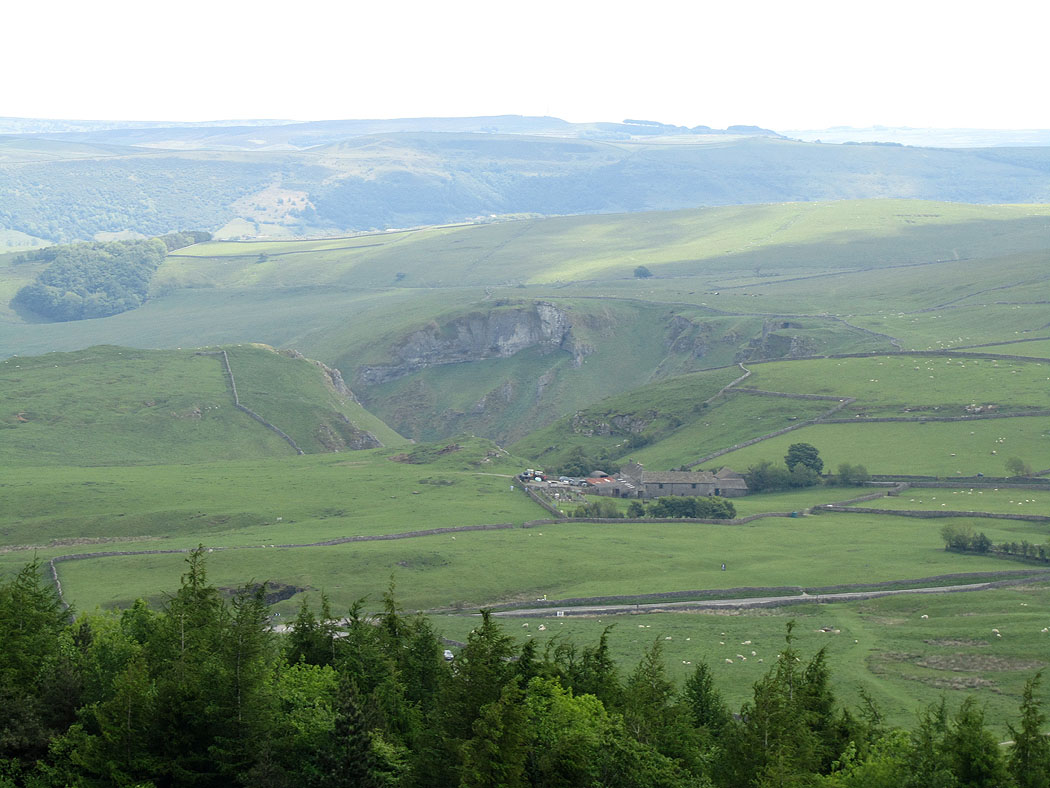
Zooming in on the crags around Winnats Pass
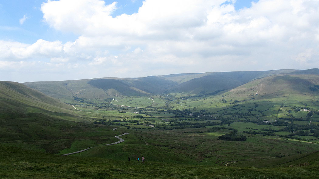
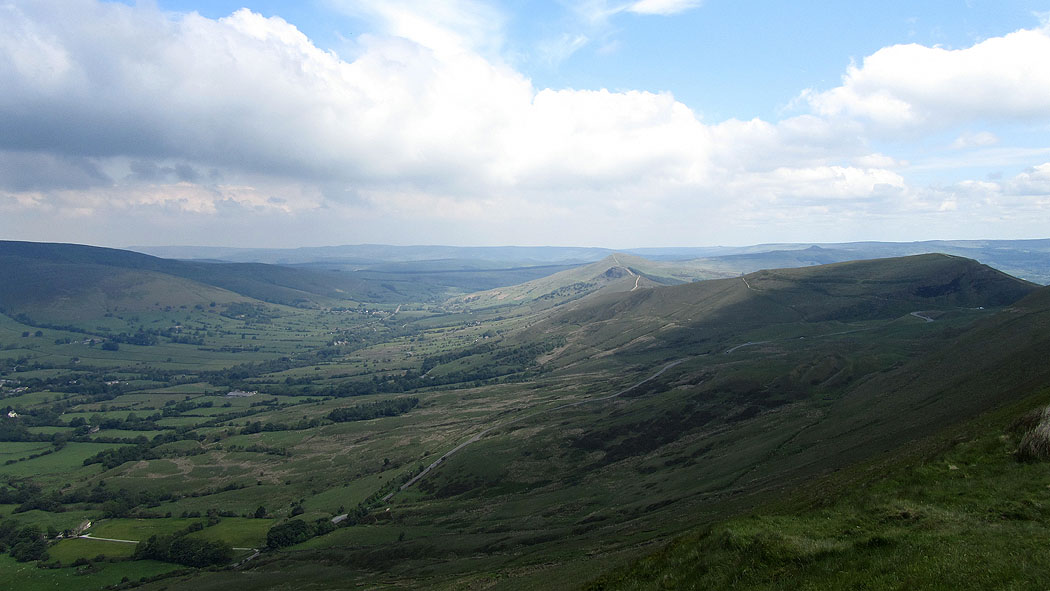
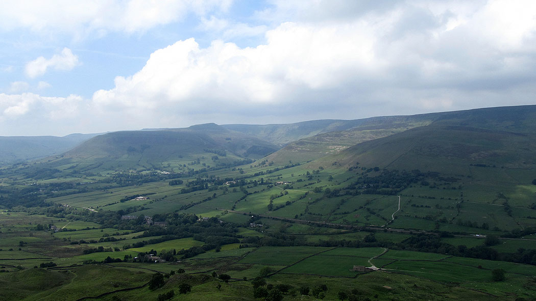
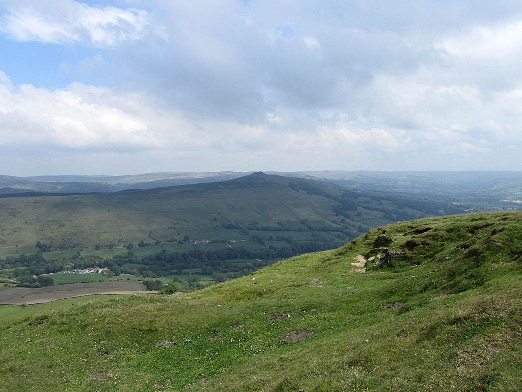
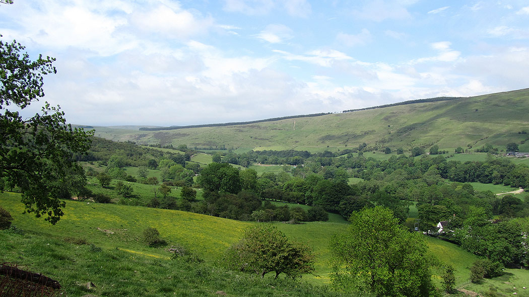
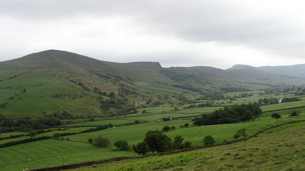
The Vale of Edale from Mam Tor
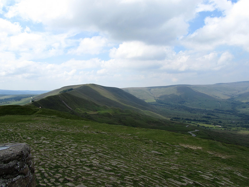
and the ridge to Lose Hill
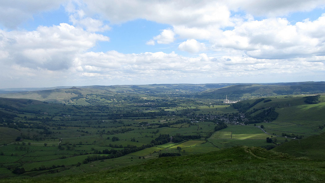
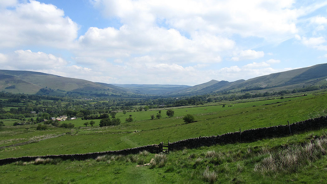
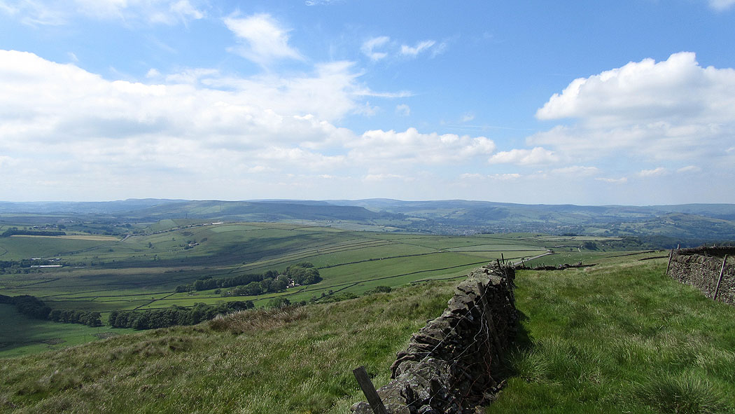
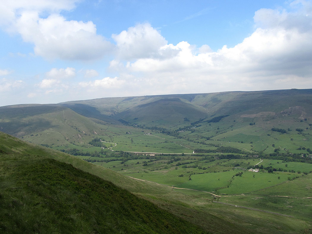
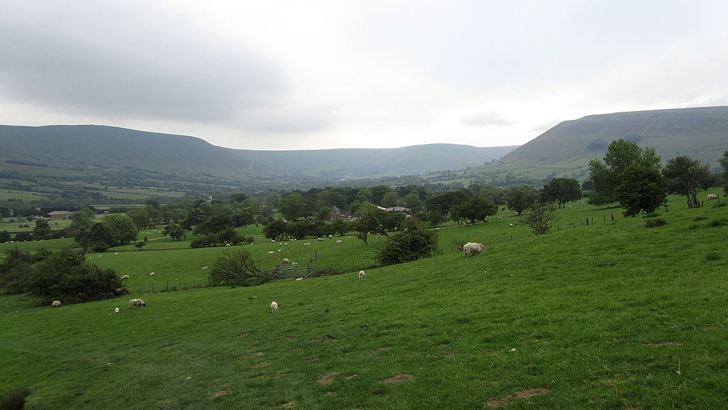
The Hope Valley
Rushup Edge and Lord's Seat
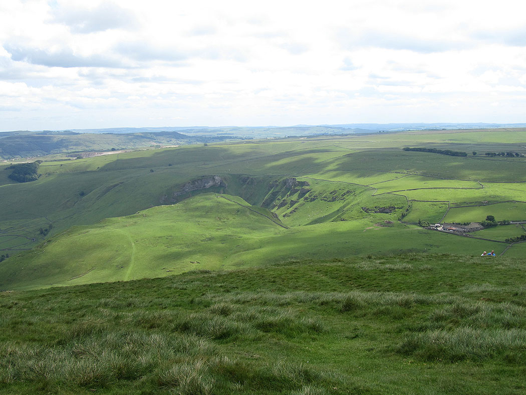
The Winnats Pass
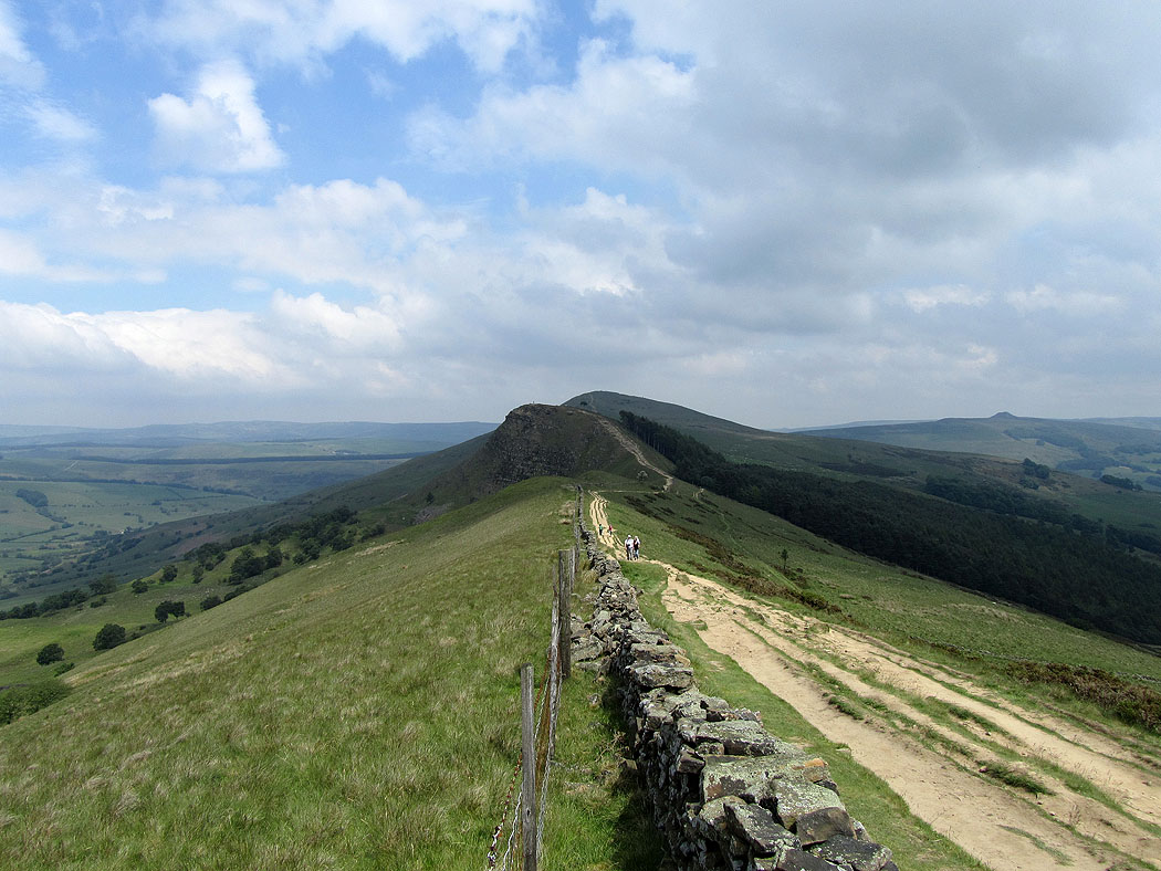
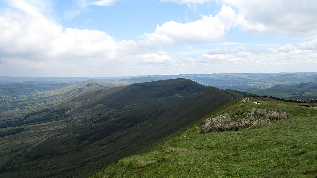
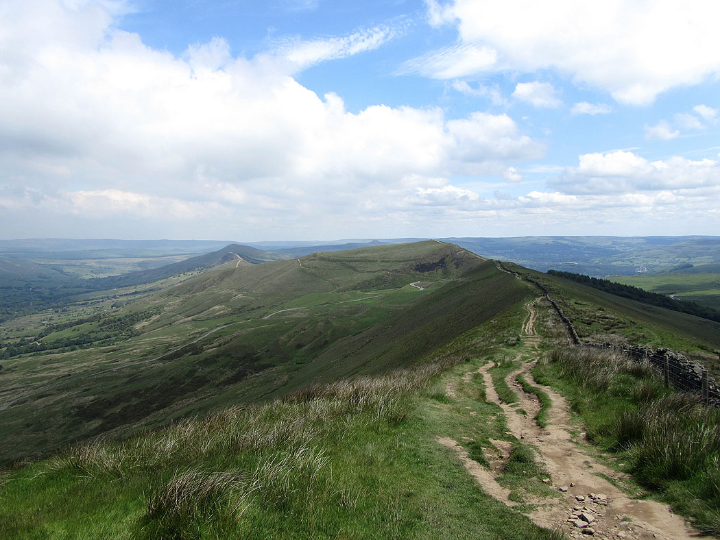
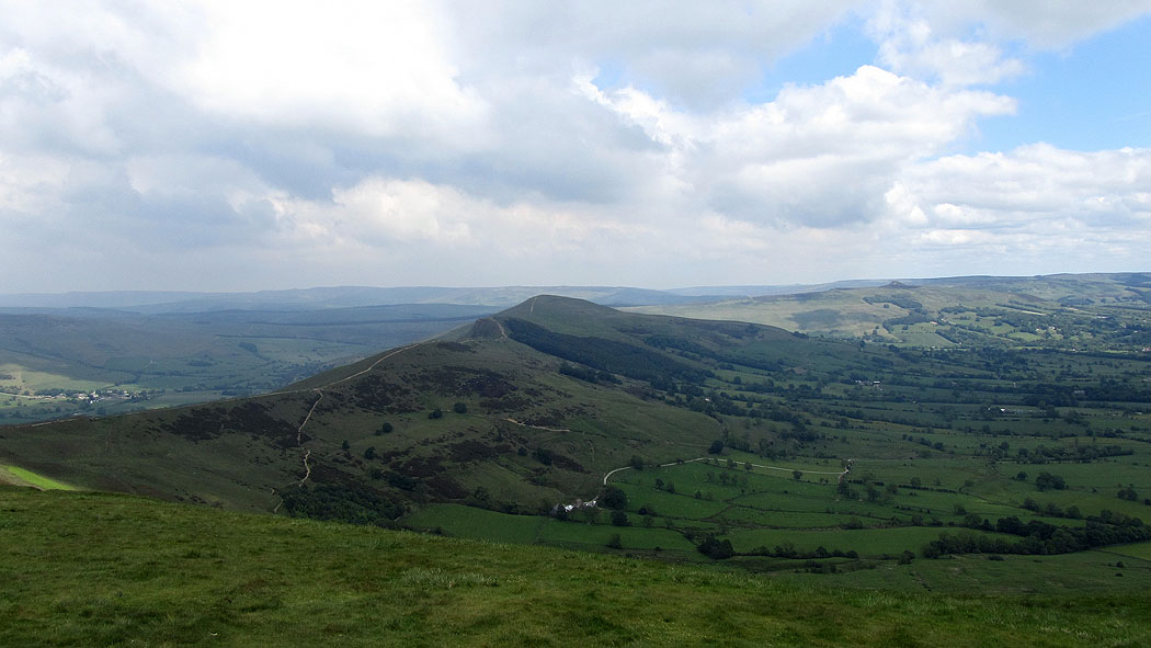
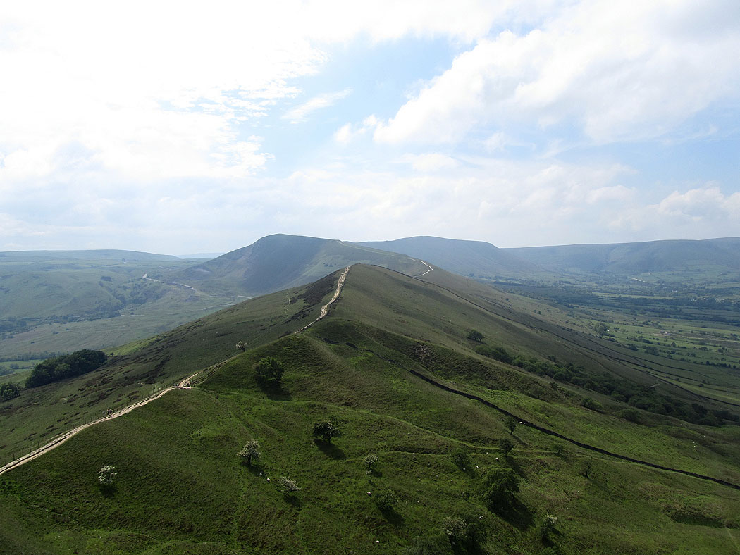
Along the ridge to Back Tor and Lose Hill
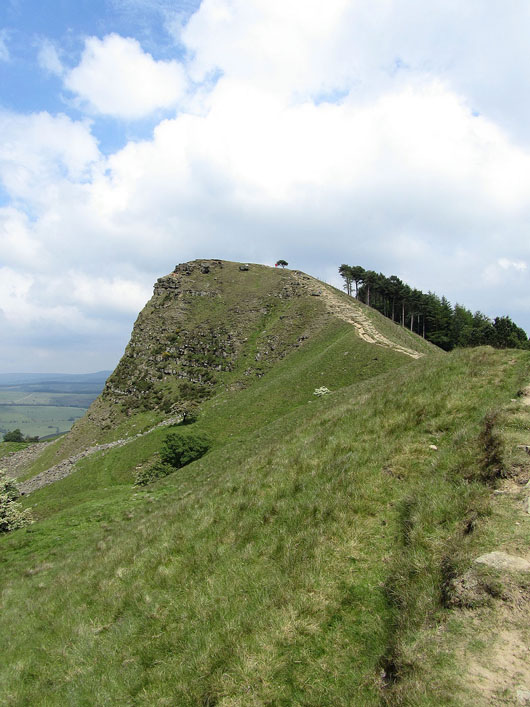
Back Tor
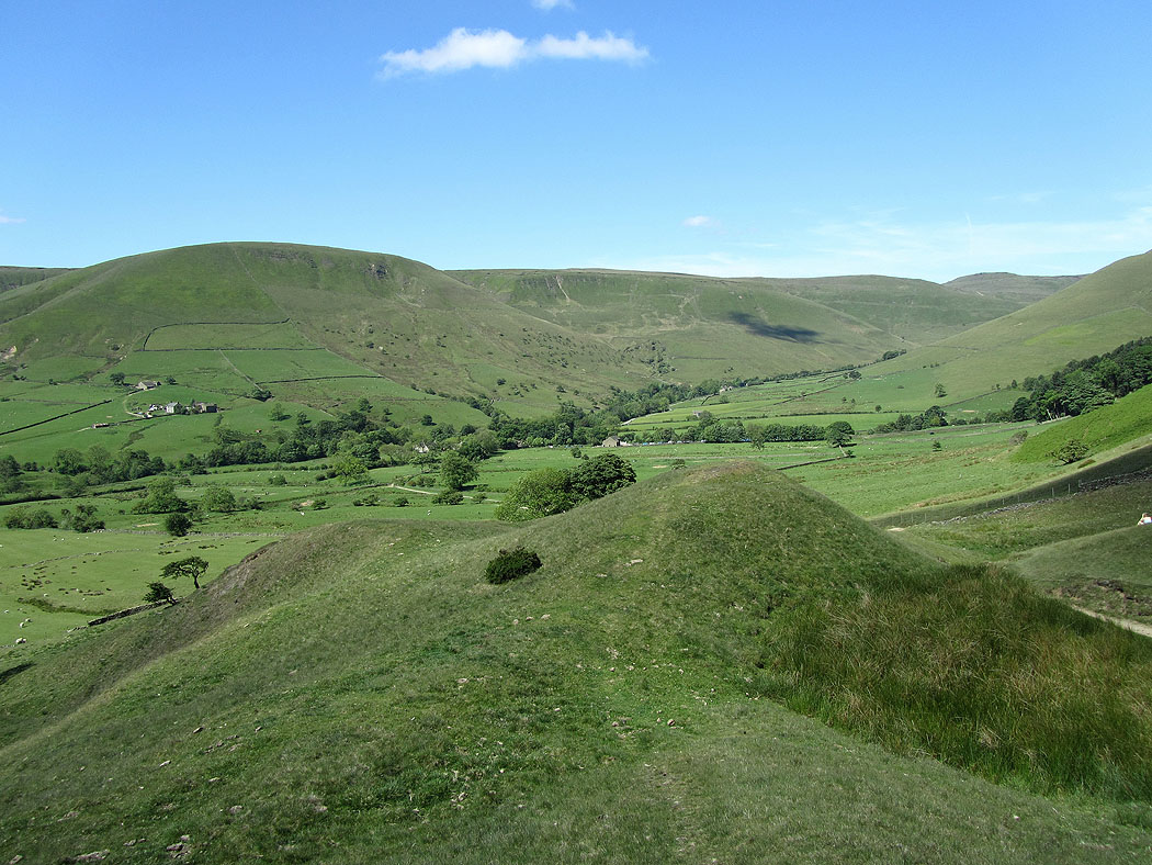
The Vale of Edale from Back Tor
The village of Edale and Kinder Scout
Looking back along the ridge to Mam Tor
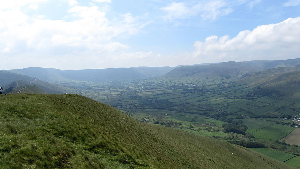
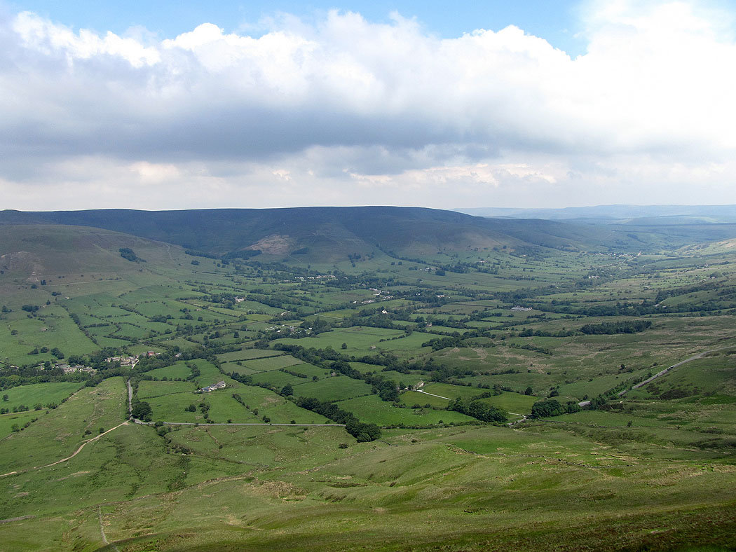
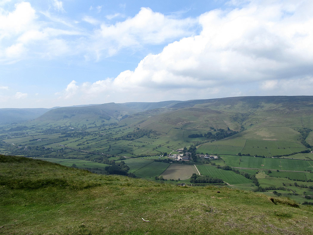
The Vale of Edale from Lose Hill
Looking across to the moors around the Derwent Valley
Win Hill
Kinder Scout from Lose Hill
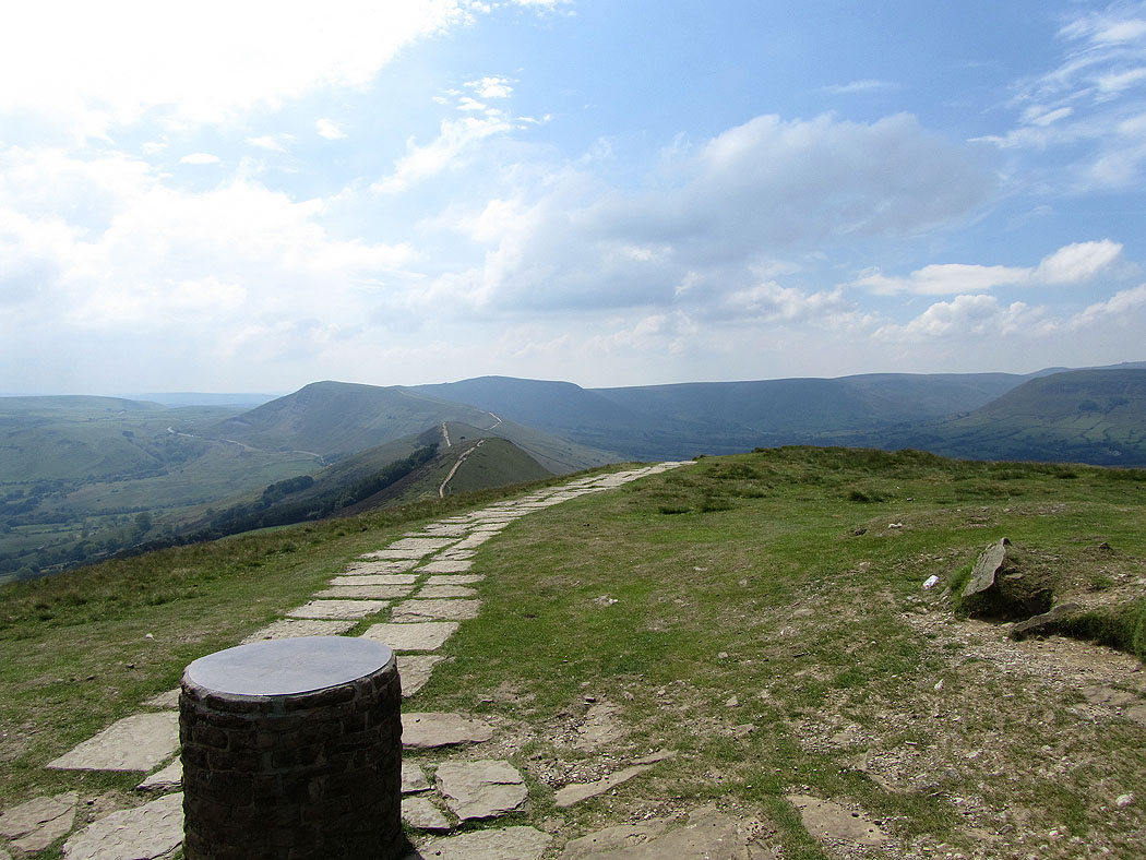
Looking back along the Great Ridge
Mam Tor on the descent of Lose Hill
The Hope Valley
The River Noe near the Edale Road
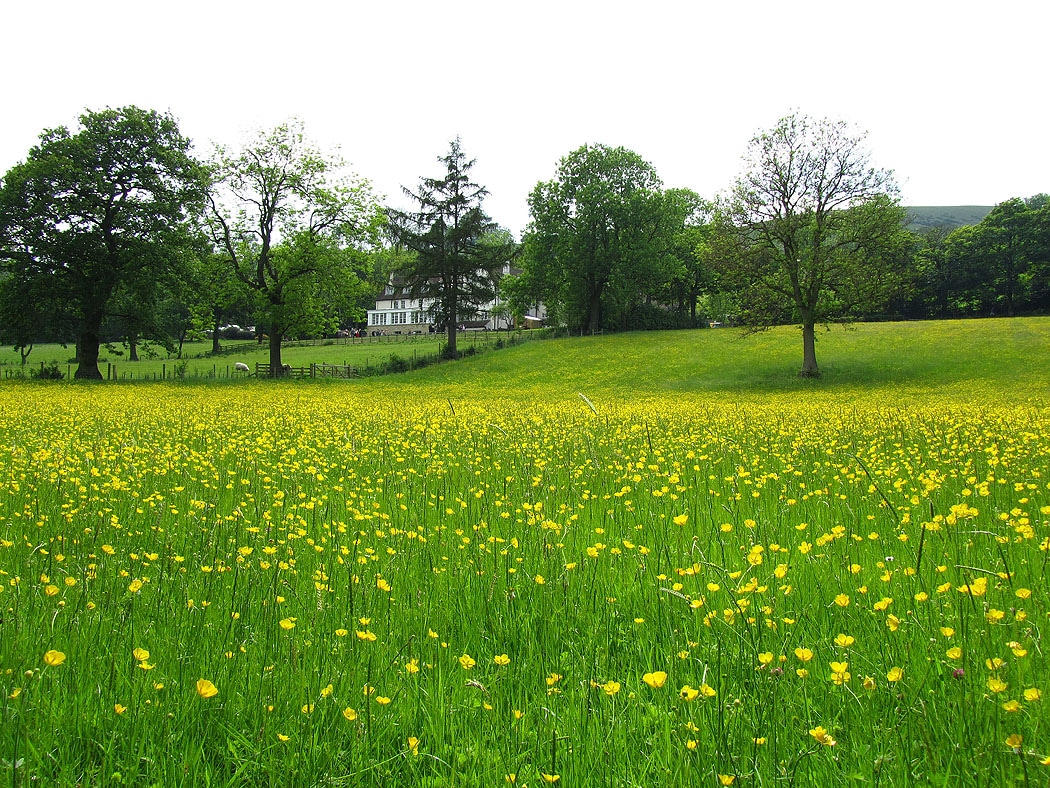
Buttercups!
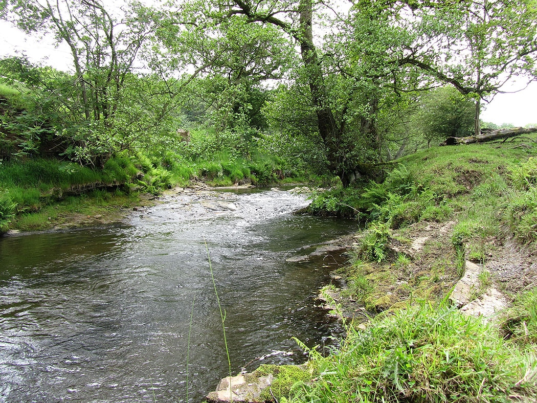
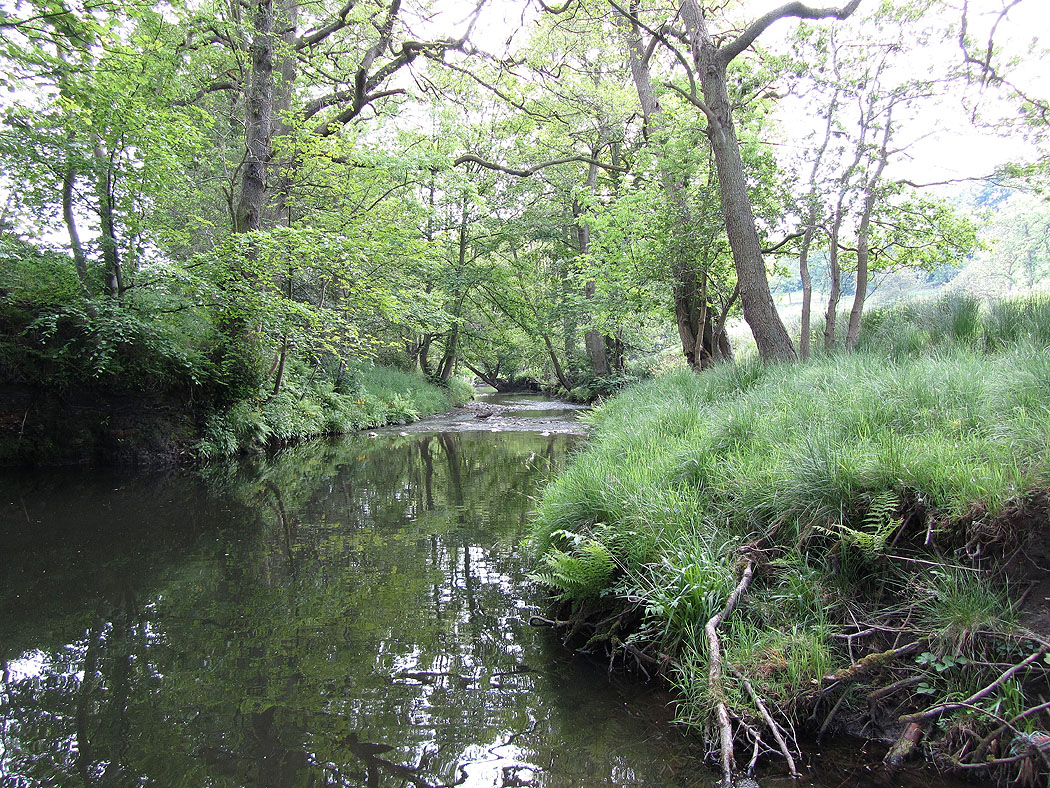
The River Noe near Bagshaw Bridge
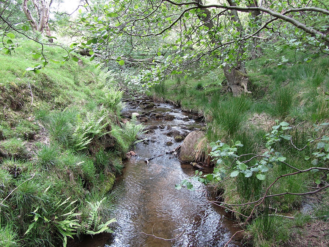
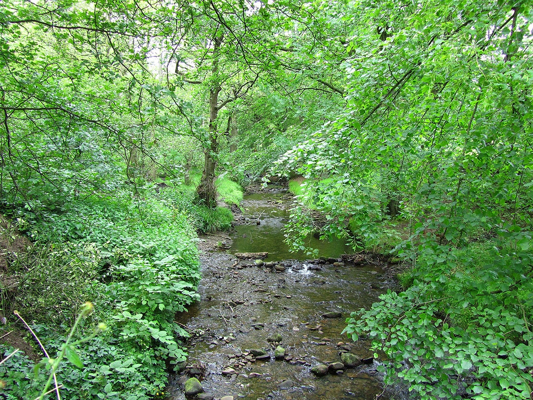
Jaggers Clough
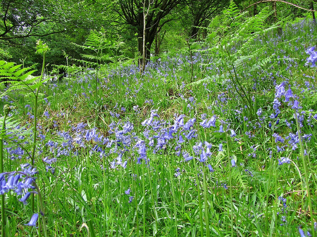
Bluebells in Backside Wood
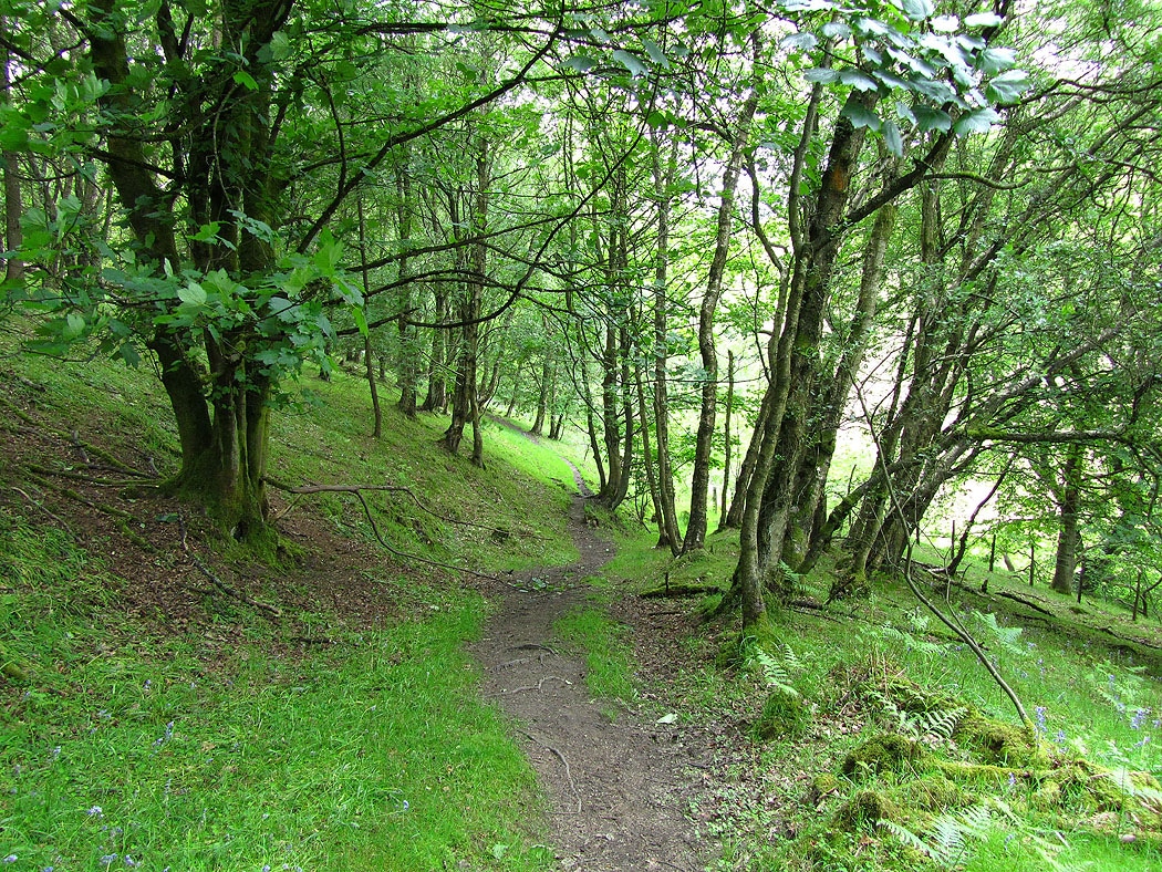
and Backside Wood
Lose Hill, Back Tor to Mam Tor from the path back to Edale
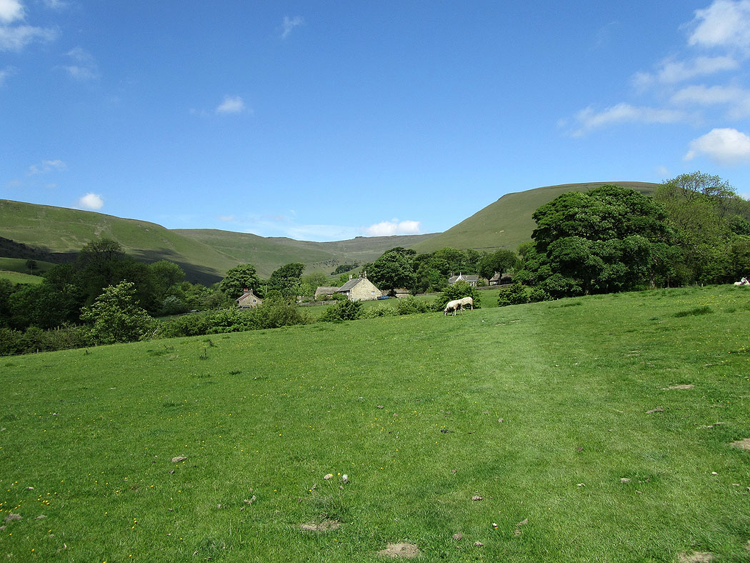
Rowland Cote next to Lady Booth Brook
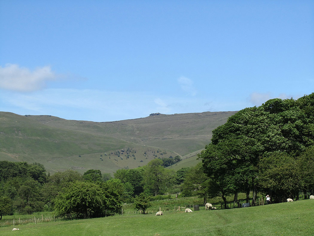
The Vale of Edale
Grinds Brook back in Edale