4th June 2012 - Penyghent
Walk Details
Distance walked: 11.9 miles
Total ascent: 2000 ft
OS map used: OL2 - Yorkshire Dales, Southern & Western areas
Time taken: 7 hrs
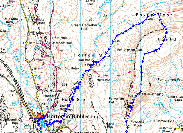
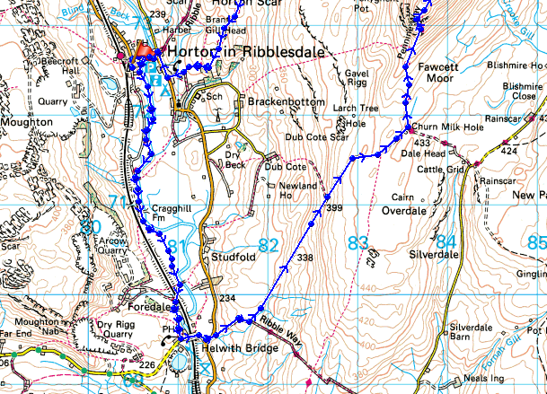
Route description: Horton in Ribblesdale-Ribble Way-Helwith Bridge-Long Lane-Pennine Way-Penyghent-Plover Hill-Foxup Moor-Horton Moor-Hull Pot-Horton Scar Lane-Horton in Ribblesdale
I decided to do Penyghent from Horton-in-Ribblesdale today but to make a day of it, extend the walk by heading off along the Ribble Way before doing the ascent and then heading back by going over Plover Hill.
Horton was really busy on this Bank Holiday Monday and I don't know where everyone went to but the only parts of the route where I encountered lots of people were where I joined the path from Brackenbottom and on the summit of Penyghent.
From where I parked in Horton I followed the Ribble Way down to Helwith Bridge. I then crossed over the B6479 Horton road to follow the track of Long Lane until it joins the Pennine Way for the ascent of Penyghent. After having my lunch on the summit I then made my way across to Plover Hill and then down to the path across Foxup Moor. The route back to Horton was by this path and Horton Scar Lane with a detour to visit Hull Pot.
Route map
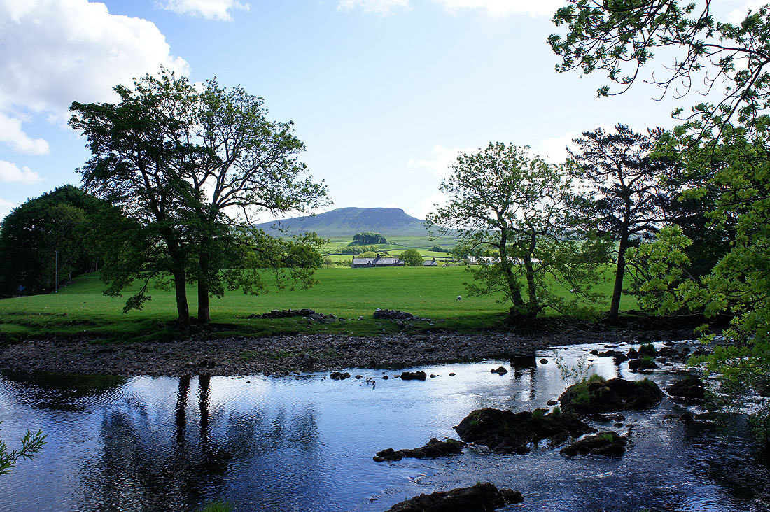
From Horton-in-Ribbledale the first part of the walk was to follow the Ribble Way down to Helwith Bridge. A shot of Penyghent through the trees.
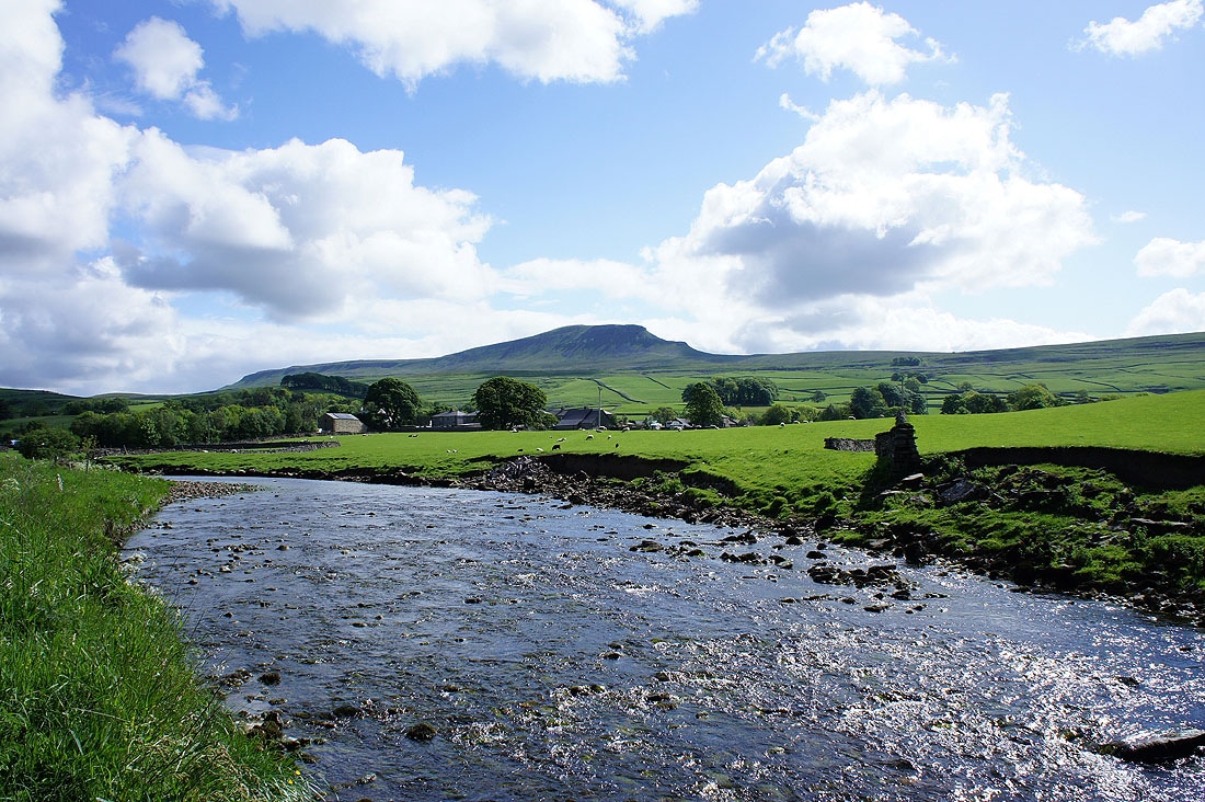
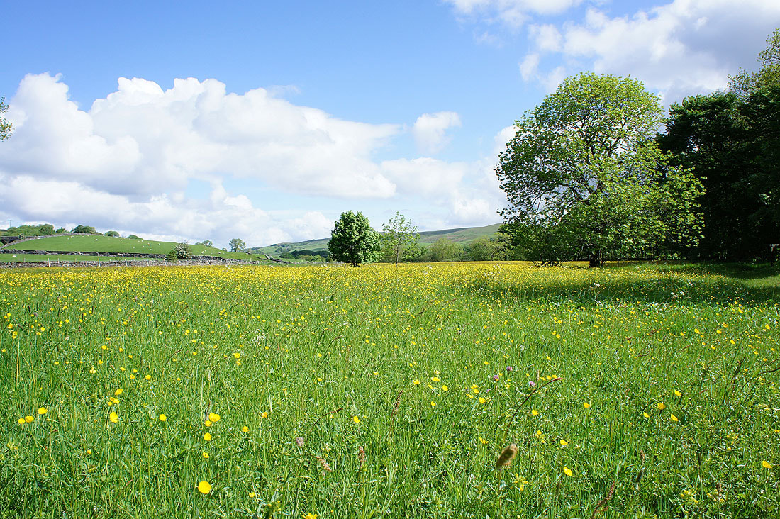
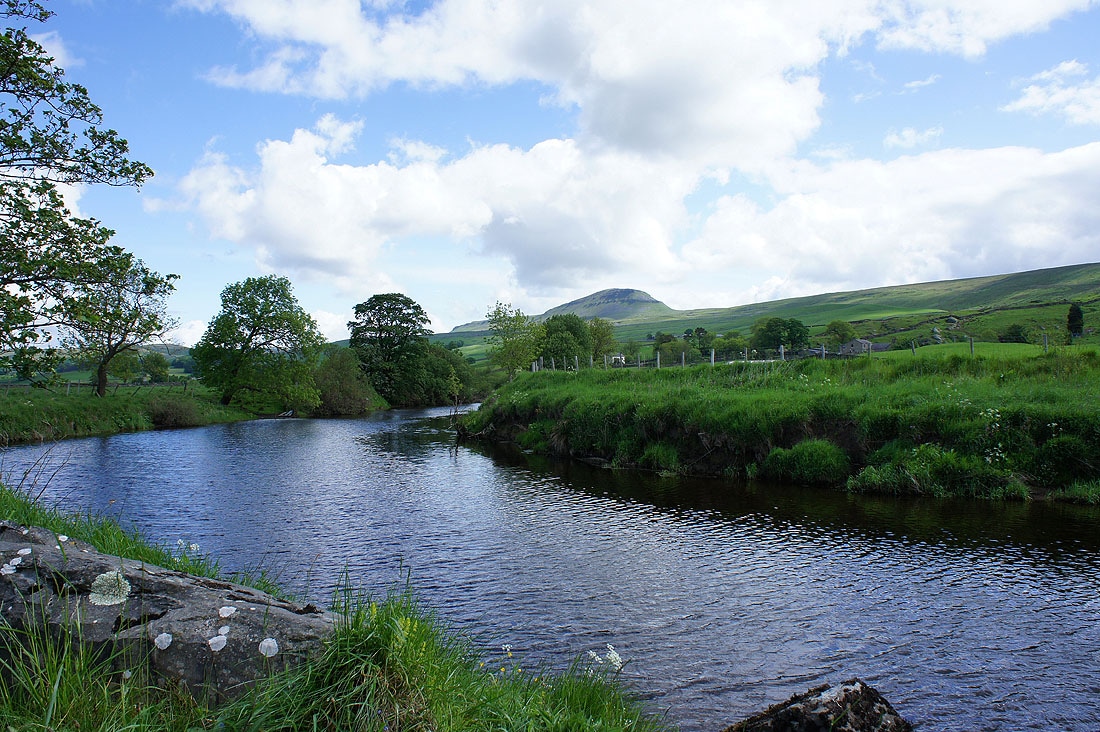
A few shots as I follow the Ribble Way...
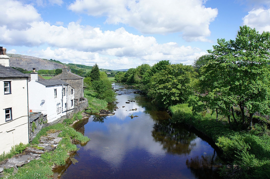
The Ribble from Helwith Bridge
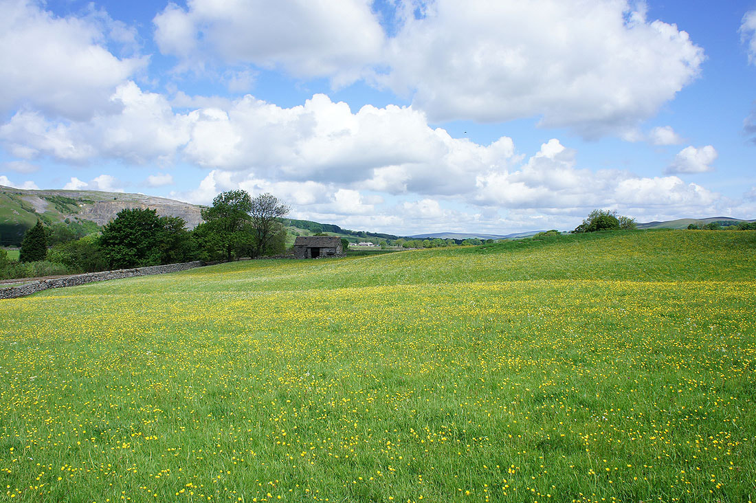
Another field of buttercups. I've just crossed over the Horton road to the track of Long Lane.
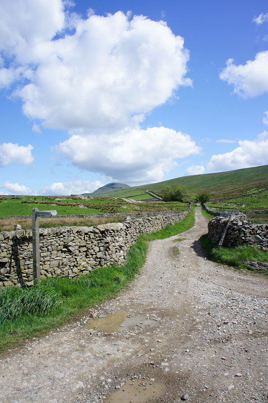
Now to head up the track of Long Lane
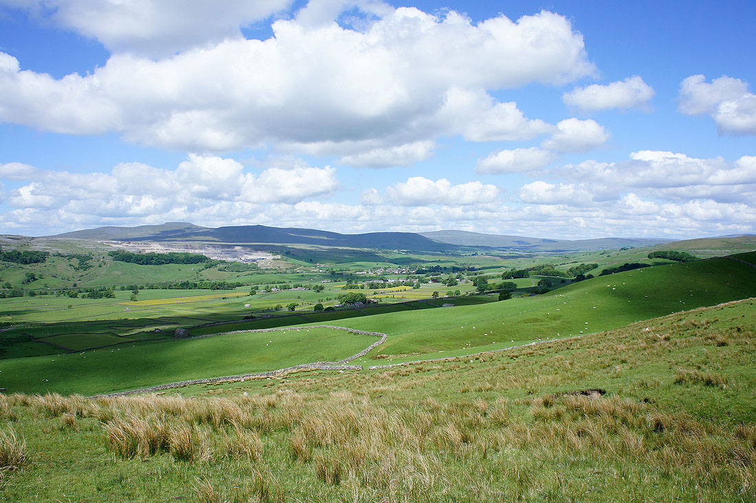
Ribblesdale from Long Lane
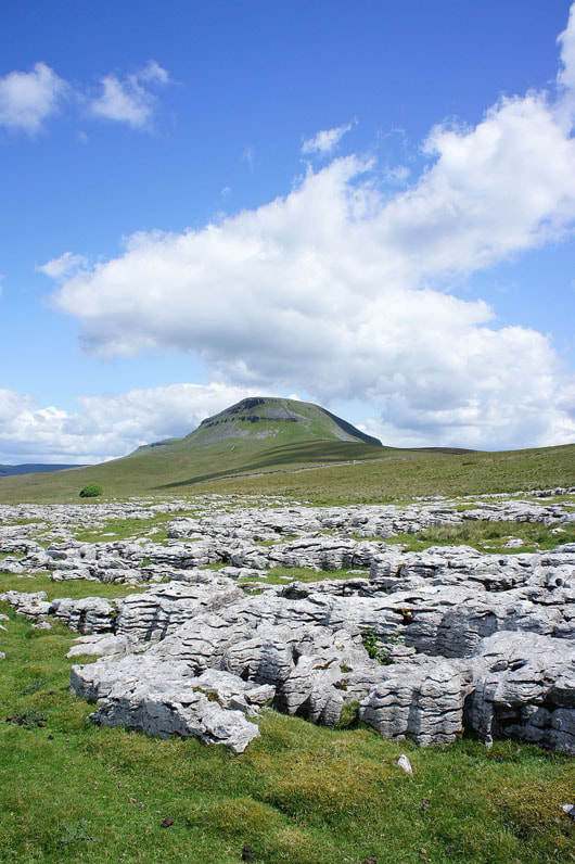
I've made a short detour off Long Lane to take this picture of Penyghent from Cote Scar
Penyghent as I join the Pennine Way as it comes up from Dale Head
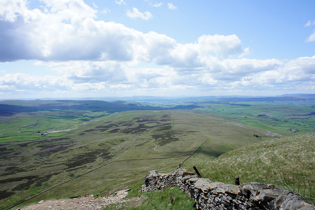
Pendle Hill in the distance from the top of the climb up Penyghent's steep southern face
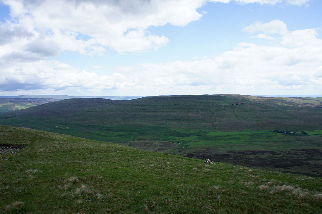
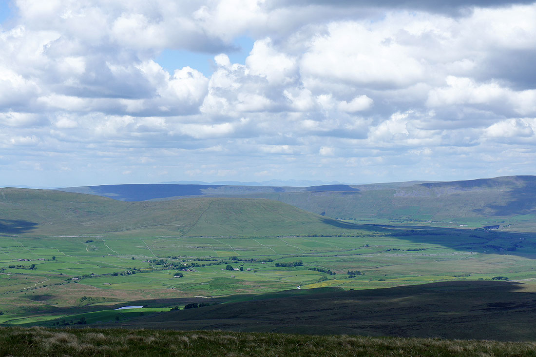
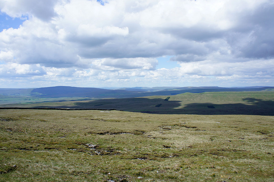
Darnbrook Fell and Fountains Fell
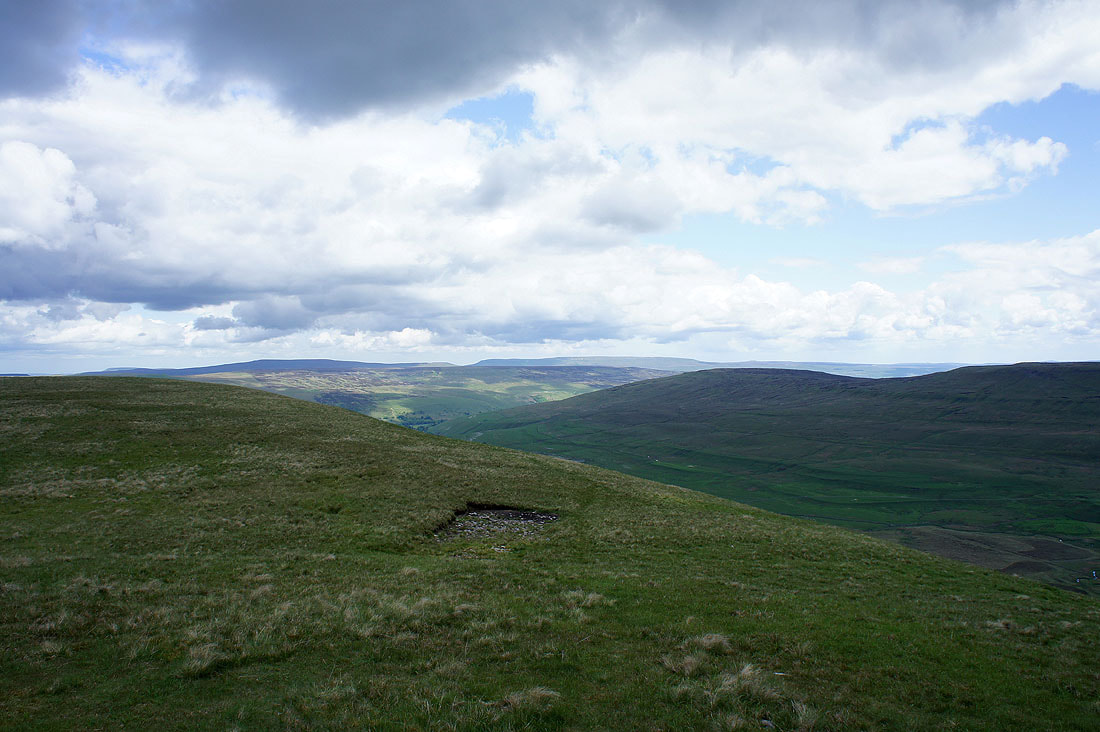
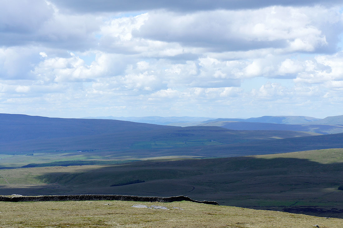
Buckden Pike and Great Whernside in the distance
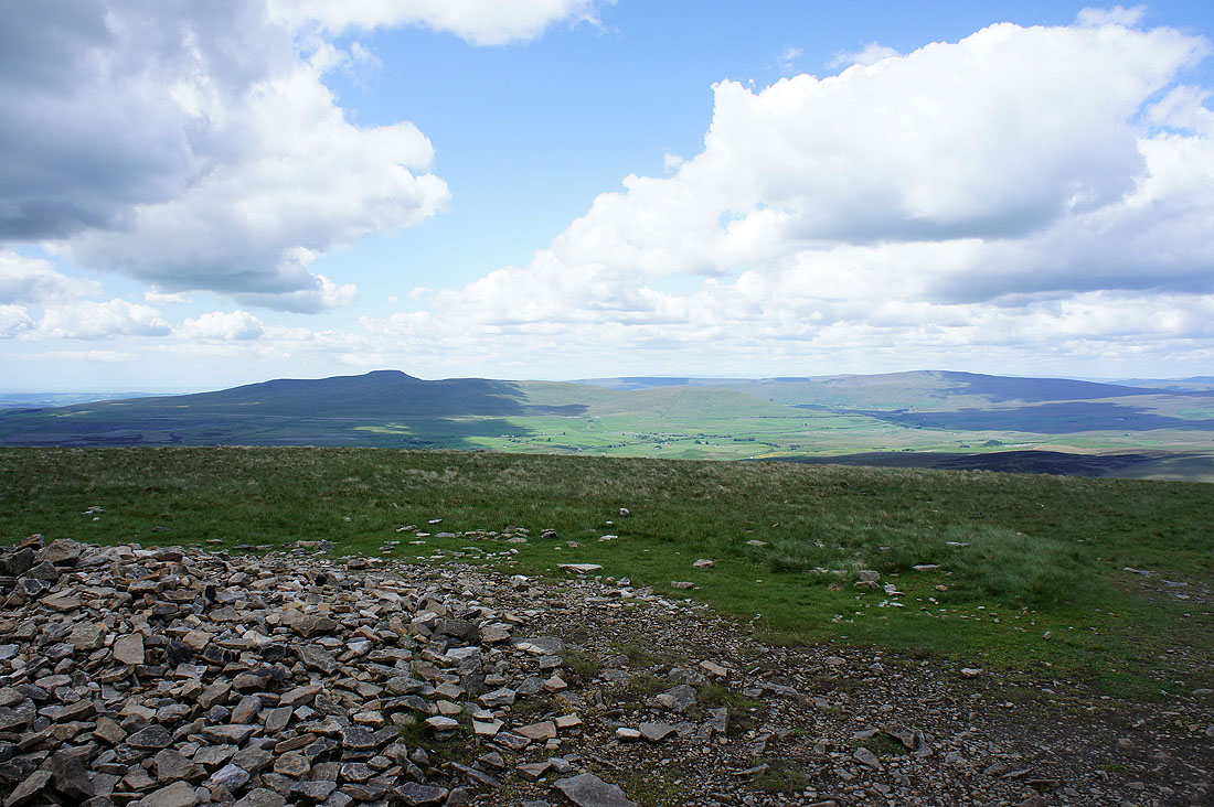
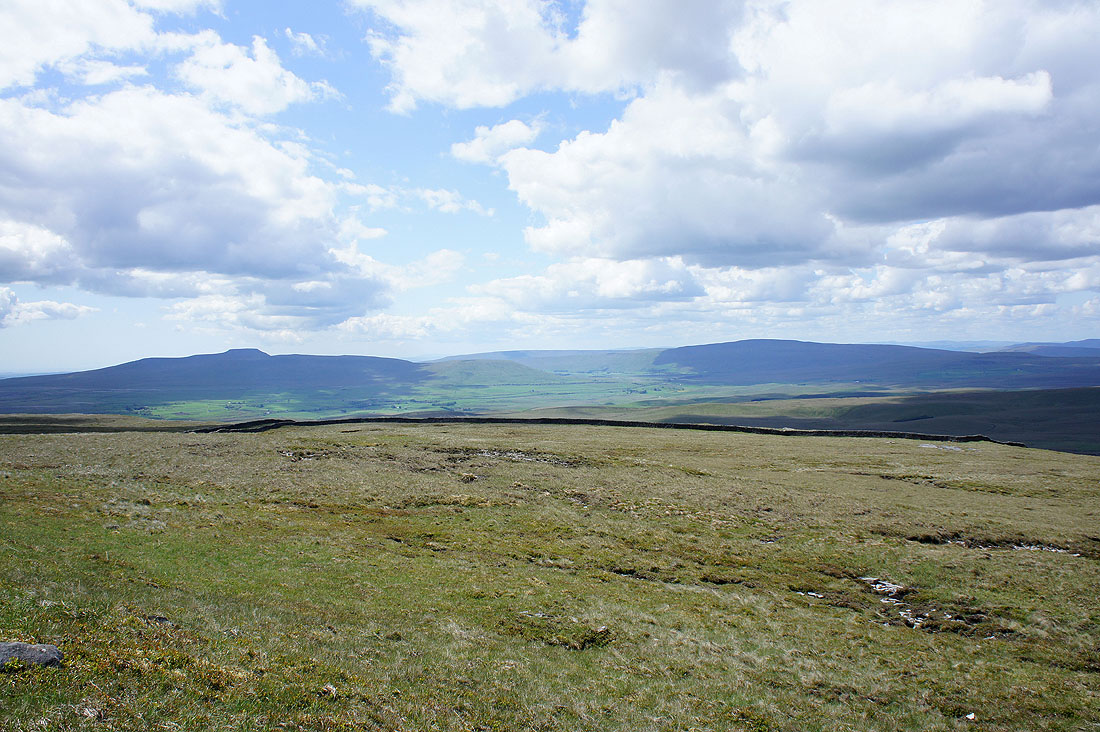
Ingleborough and Whernside from Penyghent
The jagged outline of the Lake District fells in the distance
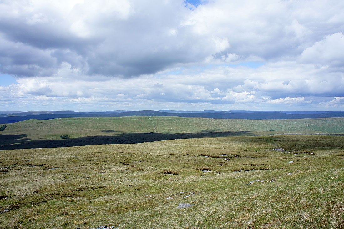
Lots of fells in view
Heading down off Penyghent bound for Plover Hill
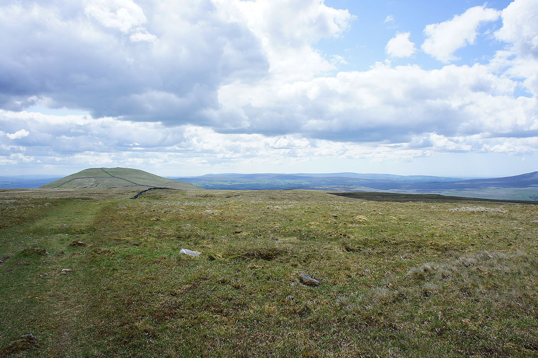
A look back to Penyghent from Plover Hill
Ingleborough and Whernside from Plover Hill
Some of the eastern and far eastern fells of the Lake District can be made out in the distance in the gap between Whernside and the Howgills. The highest point on the left is Helvellyn.
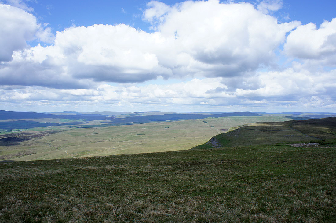
There's a great view to the north and northwest as you start the descent off Plover Hill. Whernside, the Howgills, Baugh Fell, Great Knoutberry Hill and Wild Boar Fell.
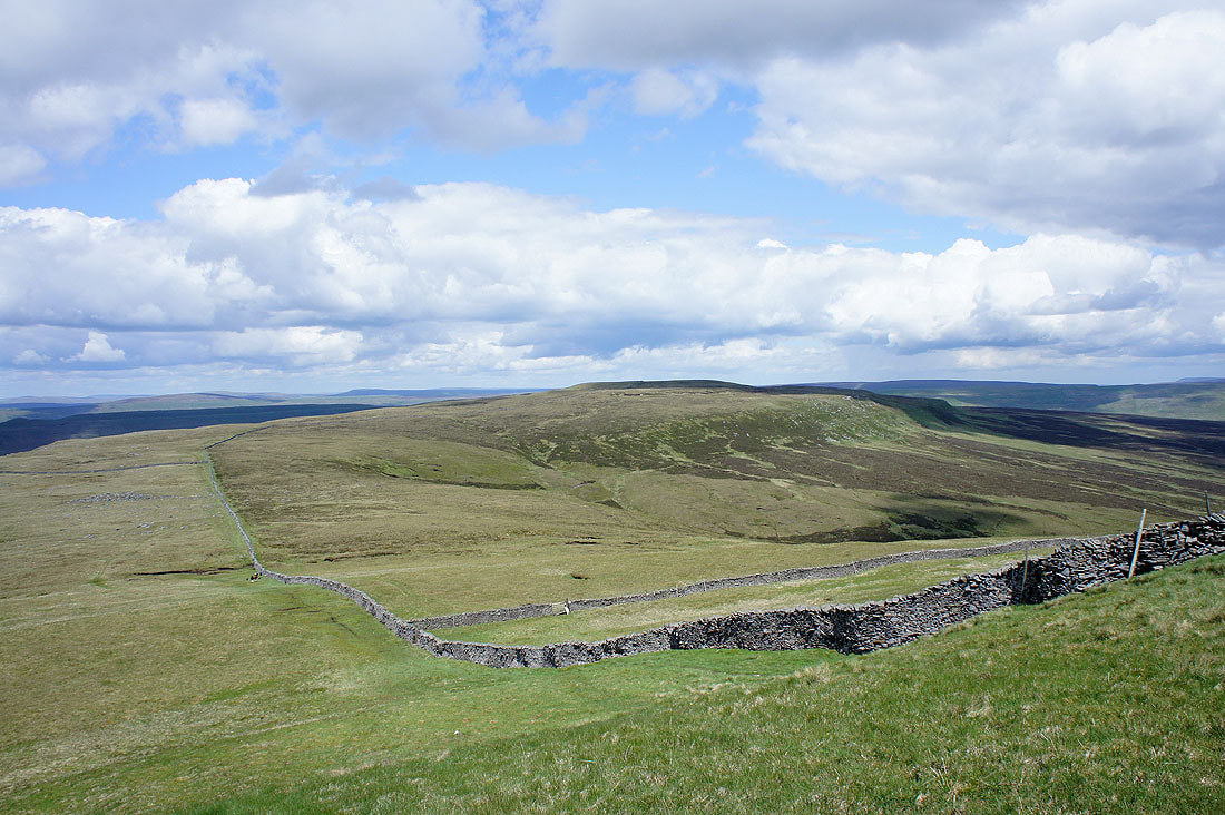
Wild Boar Fell, High Seat, Dodd Fell Hill, Great Shunner Fell and Lovely Seat
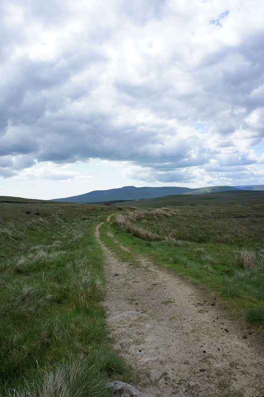
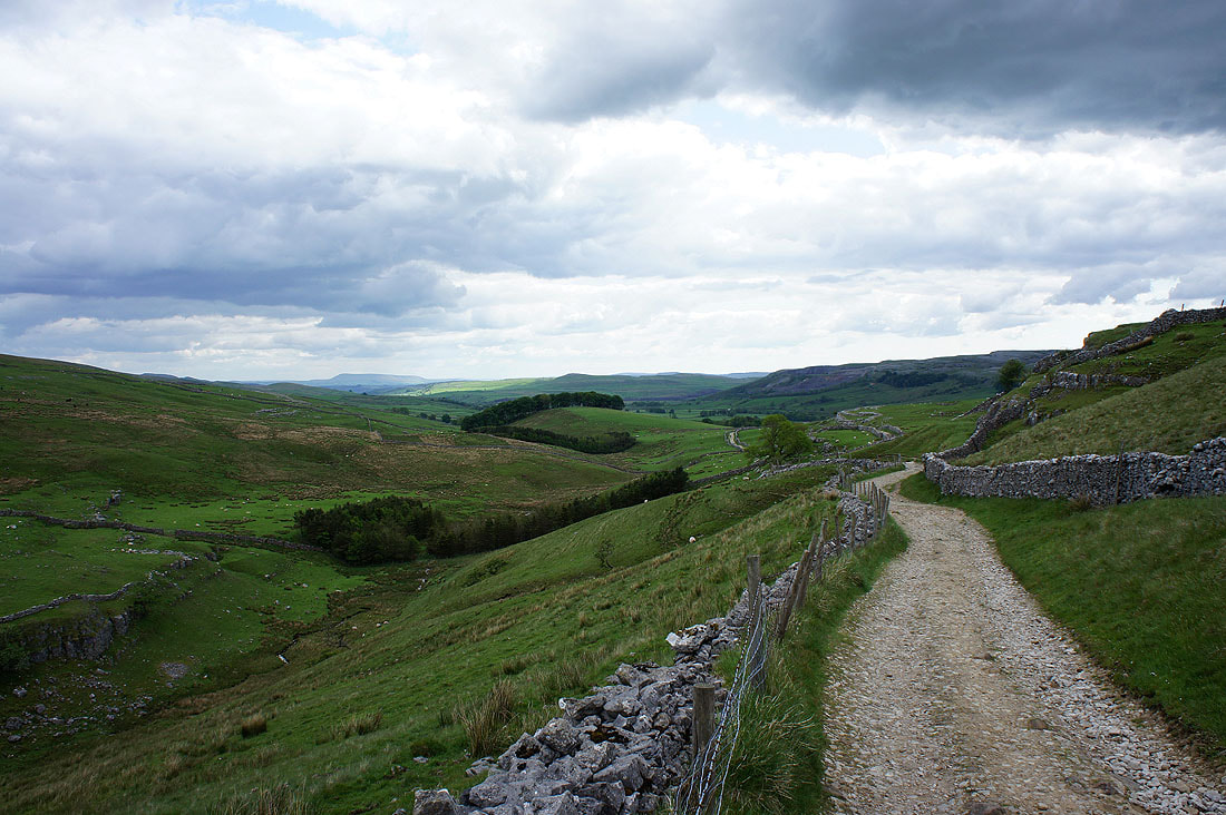
After the descent off Plover Hill and I'm on my way back to Horton
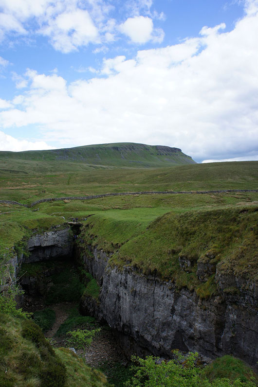
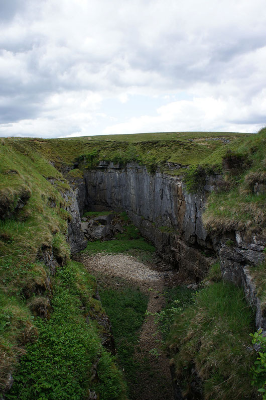
A couple of shots of Hull Pot. Just off the path and worth a look.
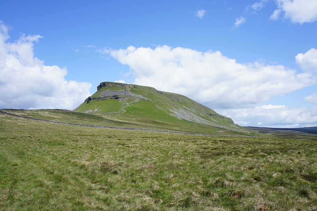
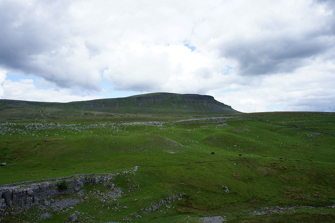
Penyghent from Horton Scar Lane
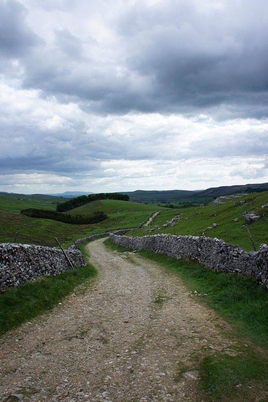
On Horton Scar Lane..
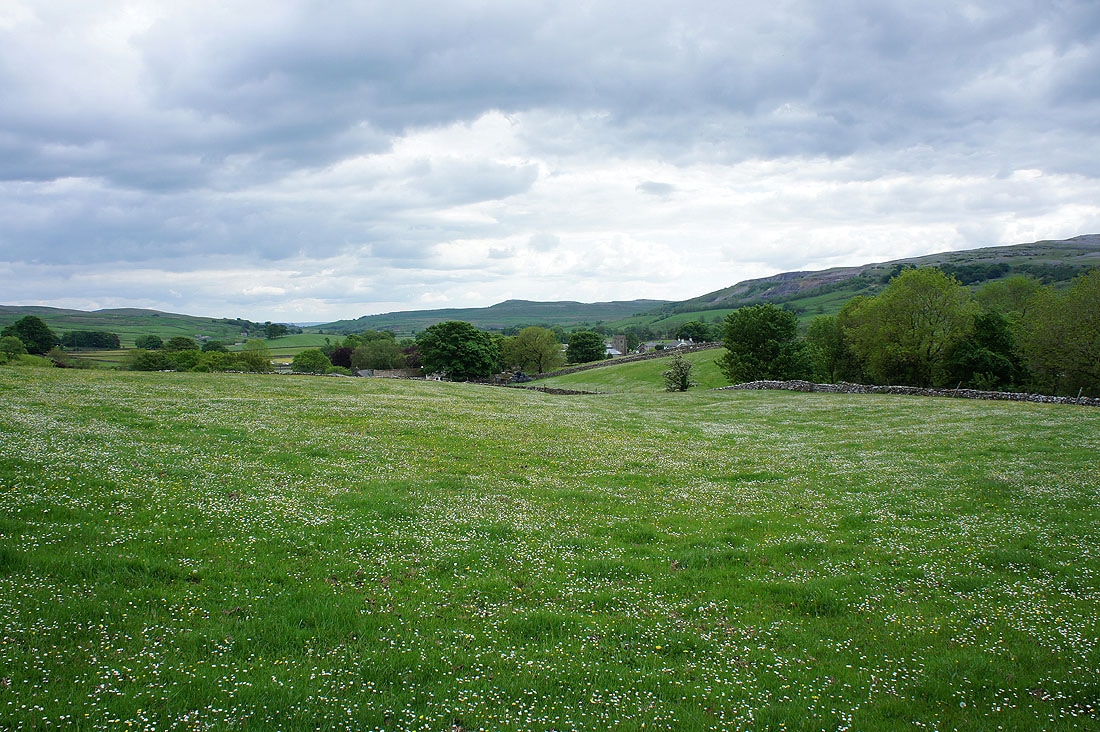
More meadows on the final descent back to Horton
