4th June 2022 - Wolfhole Crag and High Stephen's Head
Walk Details
Distance walked: 13.6 miles
Total ascent: 2074 ft
OS map used: OL41 - Forest of Bowland & Ribblesdale
Time taken: 7.5 hrs
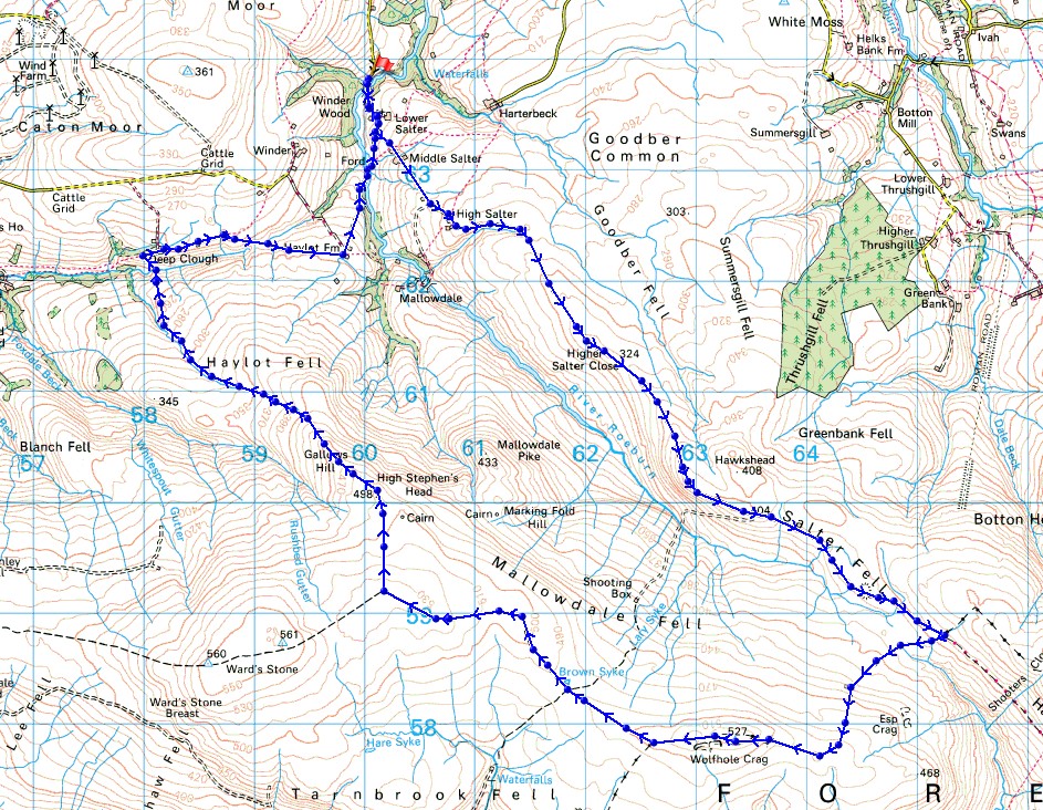
Route description: Barkin Bridge, Roeburndale-Lower Salter-Higher Salter Farm-Hornby Road-Wolfhole Crag-High Stephen's Head-Gallows Hill-Ragill Beck-Deep Clough-Middle Barn-Haylot Farm-Lower Salter-Barkin Bridge, Roeburndale
I made sure that I picked the day of the long weekend with the best weather for doing this walk in the Forest of Bowland. Although the walls and fences that run across these moors would help with navigation should the visibility deteriorate, good weather is essential for enjoying being on them and for taking in the views. About half of the route that I worked out for today was new to me. I'd been trying to work out how to do a circular walk that would take in the northern half of the track of Hornby Road, having walked the southern half of it a few times by starting from Slaidburn, and it was pretty obvious that starting from Roeburndale was the only option. Once I knew where I would be setting off from I just had to work out how to get back, and that would be by visiting Wolfhole Crag, then crossing the moorland to the west of it to reach High Stephen's Head, and descending from there to pick up footpaths back to Roeburndale. The going underfoot on the moorland part of the walk was pretty good for the most part with quite a bit of dry weather recently, except for the descent from Gallows Hill down Haylot Fell to Deep Clough. Marshy ground and long, tussocky grass aren't a nice combination. I was glad that I had my trekking poles with me. The forecast proved to be accurate and I had a fine early summer's day for being up on the fells of Bowland, with the best of the sunny spells during the second half of the afternoon.
From where I parked my car at Barkin Bridge in Roeburndale I walked up the road past Lower Salter and Middle Salter to Higher Salter Farm and onto the track of Hornby Road. I then followed the track south across Alderstone Bank and Salter Fell to reach a gate in a fence that crosses the track at the moorland watershed of the River Roeburn and the Whitendale River. I left Hornby Road here and made my way west and south by the fence up towards Wolfhole Crag, joining a wall for the final approach to the summit. After a break for lunch I followed the wall or fence west from Wolfhole Crag along the top of the moor, across a shooters track, and then on towards Ward's Stone until I reached a junction of walls and fences on the moorland top to the south of High Stephen's Head. I then followed the wall north to High Stephen's Head and after a final break, and to take in the view, I made my way by a fence to Gallows Hill. I kept by this fence as I descended from Gallows Hill, it soon joined the headwaters of Ragill Beck, and then lower down a wall came in from the left. When it did I had to get across Ragill Beck so that I was on its northern side, then follow the beck north to a junction of walls and a kissing gate to pick up the permissive path from access land down to Deep Clough. After crossing Deep Clough I picked up the public footpath east to Deep Clough Farm, then took the footpath from there east past Middle Barn, across Bladder Stone Beck and up to Haylot Farm. I then followed the bridleway north from Haylot Farm down to and across the River Roeburn, and up to the road to Lower Salter. A walk down the road past Lower Salter took me back to Barkin Bridge.
Total ascent: 2074 ft
OS map used: OL41 - Forest of Bowland & Ribblesdale
Time taken: 7.5 hrs
Route description: Barkin Bridge, Roeburndale-Lower Salter-Higher Salter Farm-Hornby Road-Wolfhole Crag-High Stephen's Head-Gallows Hill-Ragill Beck-Deep Clough-Middle Barn-Haylot Farm-Lower Salter-Barkin Bridge, Roeburndale
I made sure that I picked the day of the long weekend with the best weather for doing this walk in the Forest of Bowland. Although the walls and fences that run across these moors would help with navigation should the visibility deteriorate, good weather is essential for enjoying being on them and for taking in the views. About half of the route that I worked out for today was new to me. I'd been trying to work out how to do a circular walk that would take in the northern half of the track of Hornby Road, having walked the southern half of it a few times by starting from Slaidburn, and it was pretty obvious that starting from Roeburndale was the only option. Once I knew where I would be setting off from I just had to work out how to get back, and that would be by visiting Wolfhole Crag, then crossing the moorland to the west of it to reach High Stephen's Head, and descending from there to pick up footpaths back to Roeburndale. The going underfoot on the moorland part of the walk was pretty good for the most part with quite a bit of dry weather recently, except for the descent from Gallows Hill down Haylot Fell to Deep Clough. Marshy ground and long, tussocky grass aren't a nice combination. I was glad that I had my trekking poles with me. The forecast proved to be accurate and I had a fine early summer's day for being up on the fells of Bowland, with the best of the sunny spells during the second half of the afternoon.
From where I parked my car at Barkin Bridge in Roeburndale I walked up the road past Lower Salter and Middle Salter to Higher Salter Farm and onto the track of Hornby Road. I then followed the track south across Alderstone Bank and Salter Fell to reach a gate in a fence that crosses the track at the moorland watershed of the River Roeburn and the Whitendale River. I left Hornby Road here and made my way west and south by the fence up towards Wolfhole Crag, joining a wall for the final approach to the summit. After a break for lunch I followed the wall or fence west from Wolfhole Crag along the top of the moor, across a shooters track, and then on towards Ward's Stone until I reached a junction of walls and fences on the moorland top to the south of High Stephen's Head. I then followed the wall north to High Stephen's Head and after a final break, and to take in the view, I made my way by a fence to Gallows Hill. I kept by this fence as I descended from Gallows Hill, it soon joined the headwaters of Ragill Beck, and then lower down a wall came in from the left. When it did I had to get across Ragill Beck so that I was on its northern side, then follow the beck north to a junction of walls and a kissing gate to pick up the permissive path from access land down to Deep Clough. After crossing Deep Clough I picked up the public footpath east to Deep Clough Farm, then took the footpath from there east past Middle Barn, across Bladder Stone Beck and up to Haylot Farm. I then followed the bridleway north from Haylot Farm down to and across the River Roeburn, and up to the road to Lower Salter. A walk down the road past Lower Salter took me back to Barkin Bridge.
Route map
© Crown copyright. All rights reserved. License number PU 100034184.
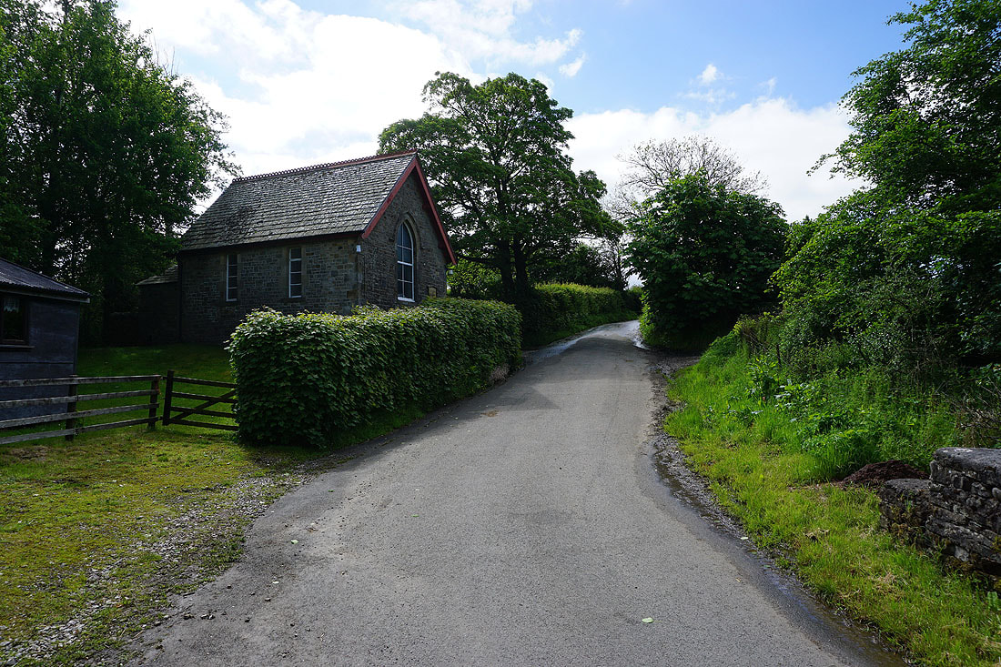
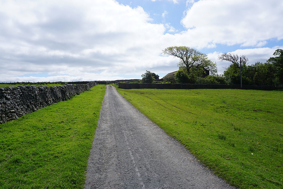
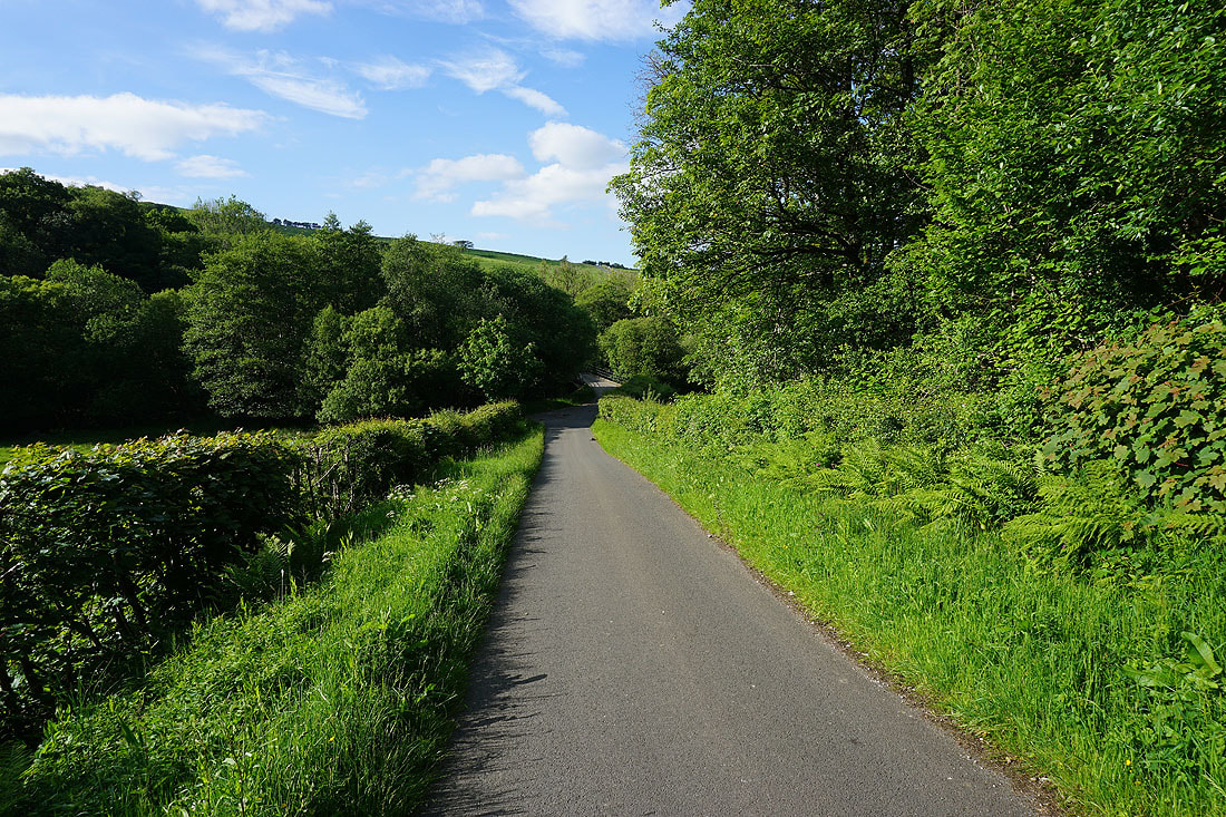
Starting from Barkin Bridge I walk up the road past the Methodist Chapel at Lower Salter
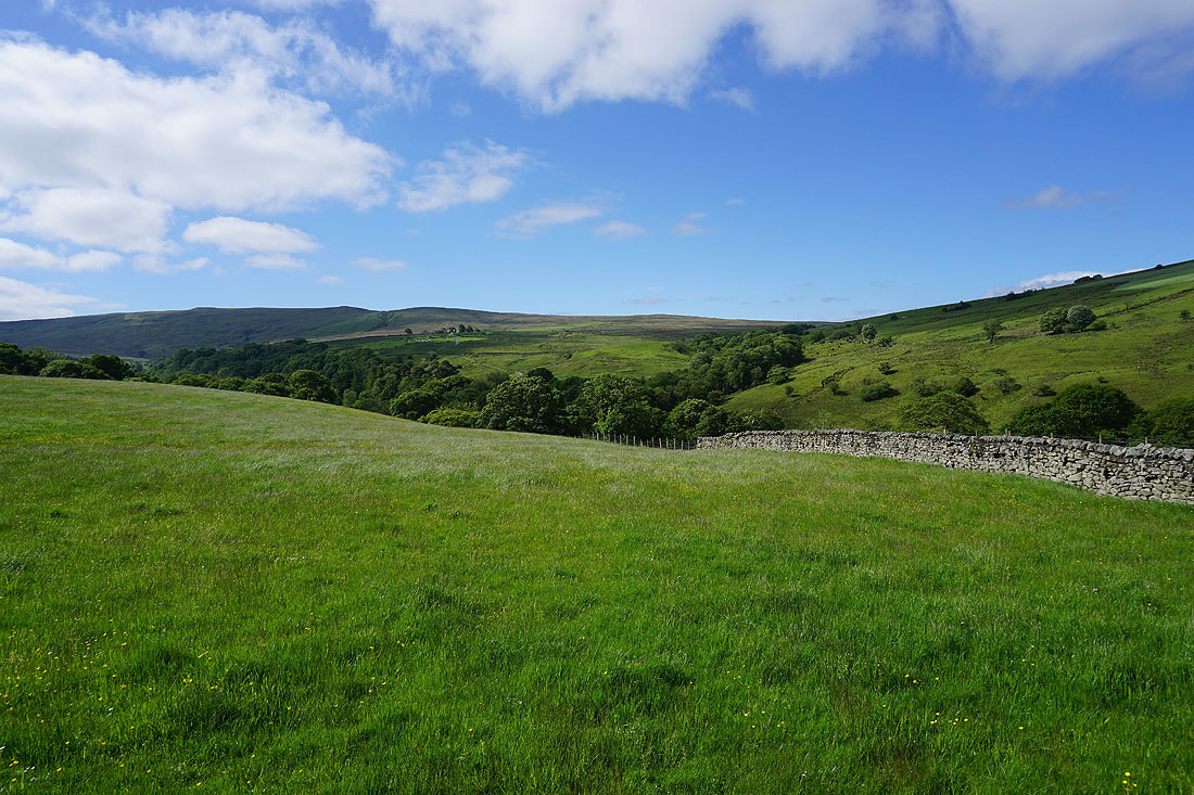
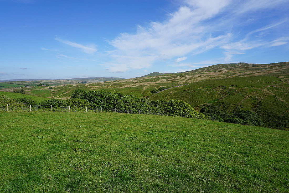
On the skyline to my right as I walk up the road to Middle Salter is the moorland that I'll be walking across on the way back down to Roeburndale
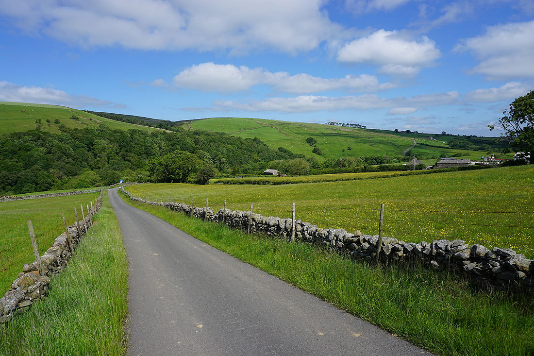
Looking back down the road to Whit Moor on the other side of Roeburndale
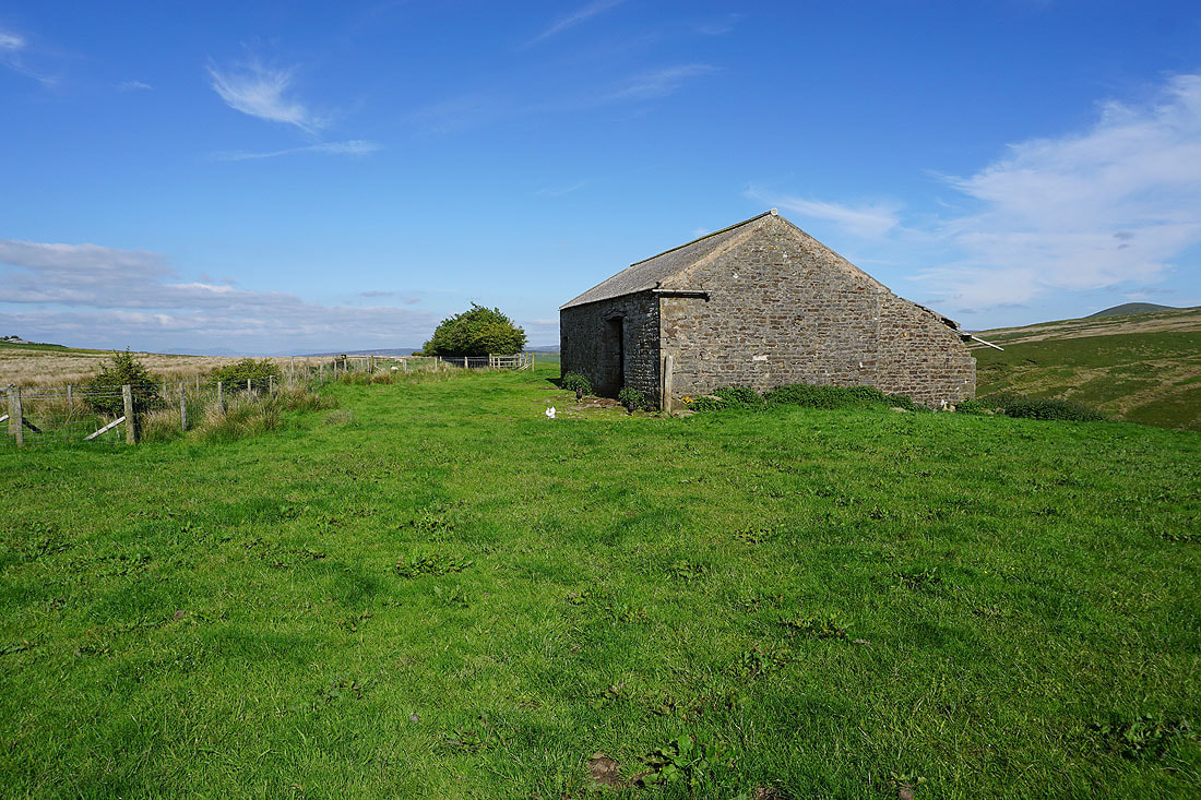
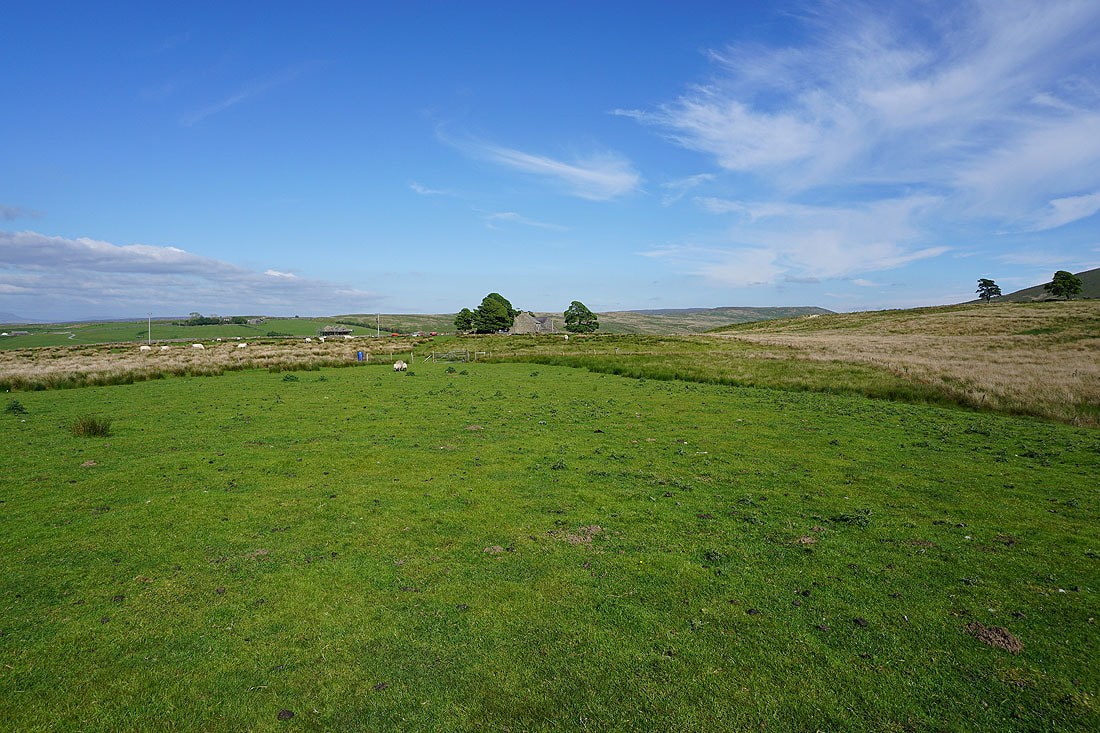
Approaching the end of the road at Higher Salter Farm
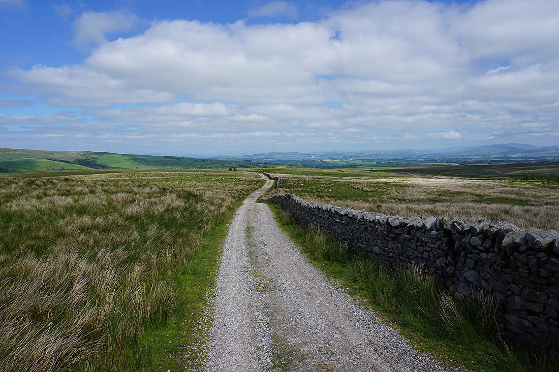
Onto the track of Hornby Road
Salter Clough
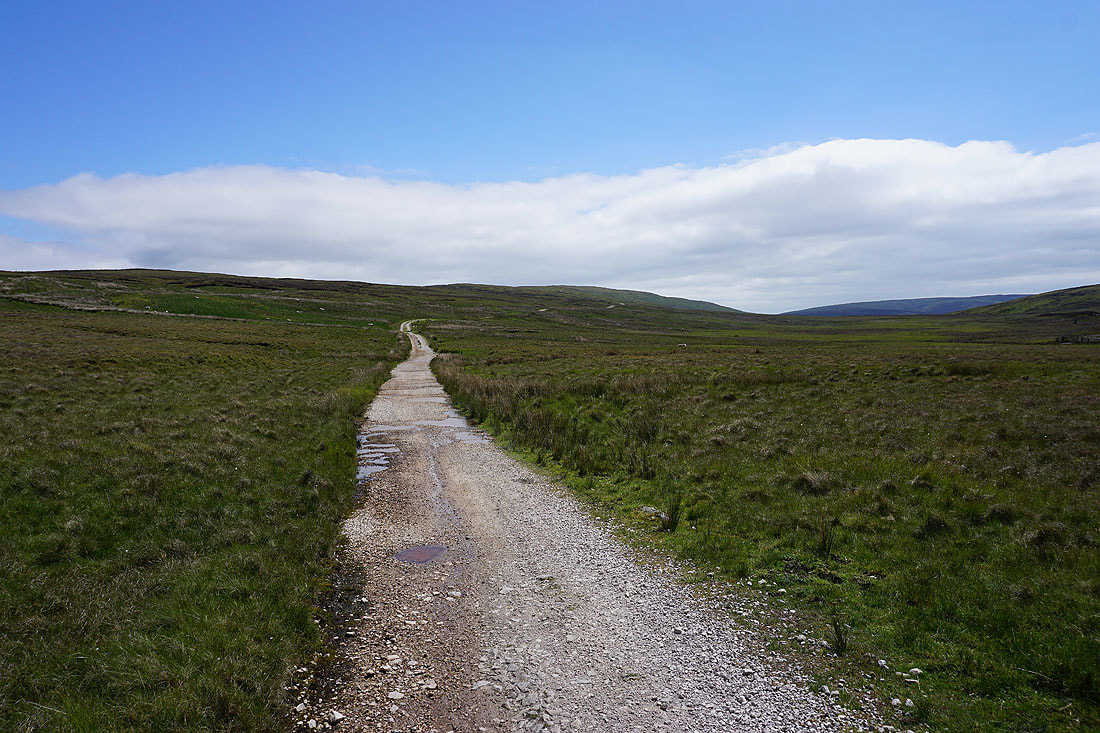
Heading south on Hornby Road
Looking back down to Roeburndale
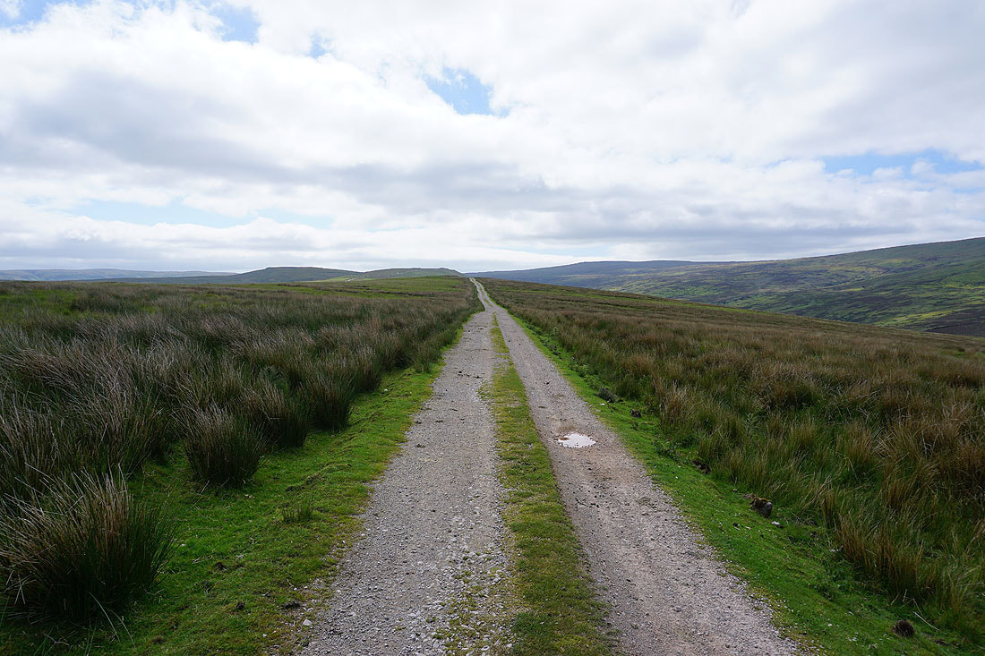
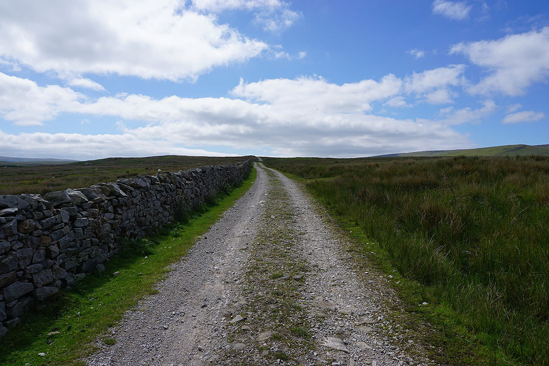
Following Hornby Road south up onto Alderstone Bank...
Looking northeast across Goodber Fell to Middleton Fell, Great Coum, Gragareth, Whernside and Ingleborough in the Yorkshire Dales
Turning round and I have Mallowdale Fell above the infant River Roeburn to my left
and the countryside around the River Lune in the distance beyond the moorland of Goodber Common
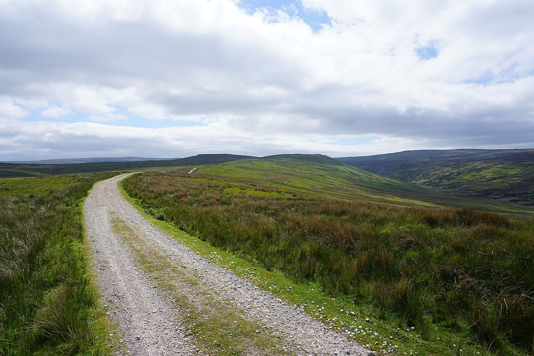
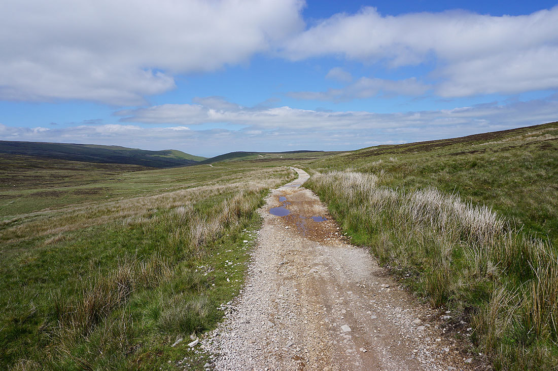
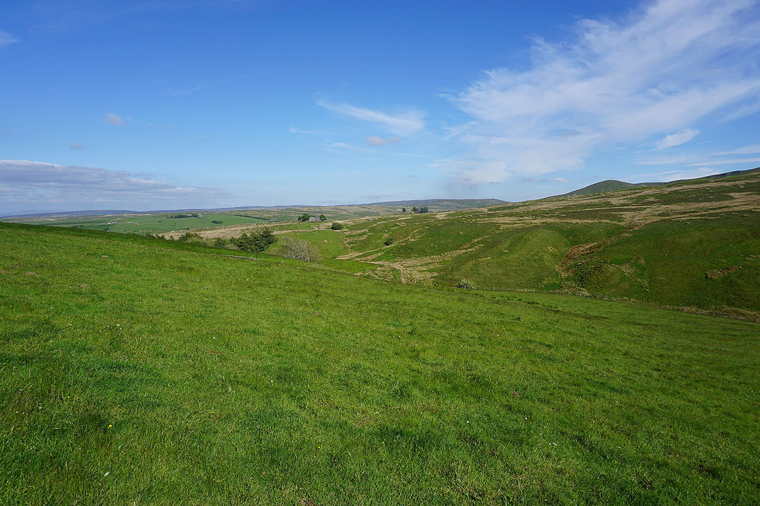
Crossing Alderstone Bank and I don't have far to go to reach the top of Hornby Road..
The slopes of Wolfhole Crag rise to my right
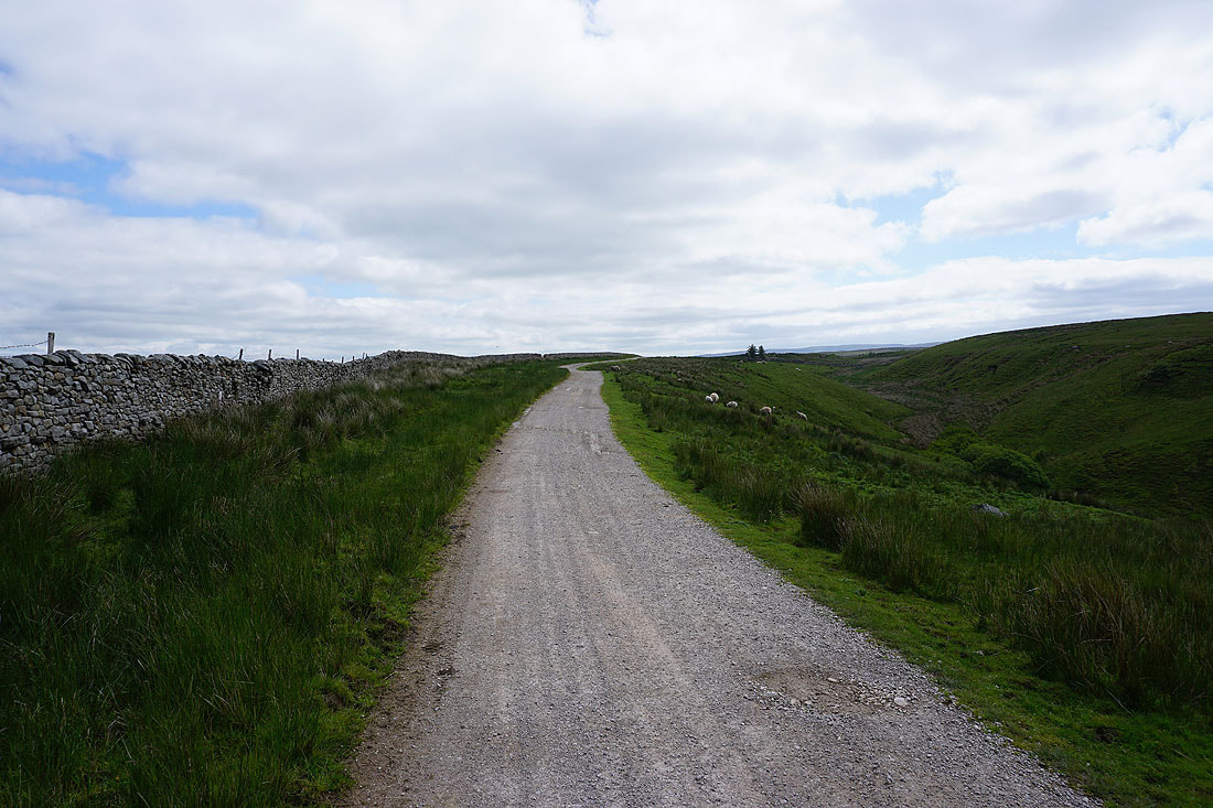
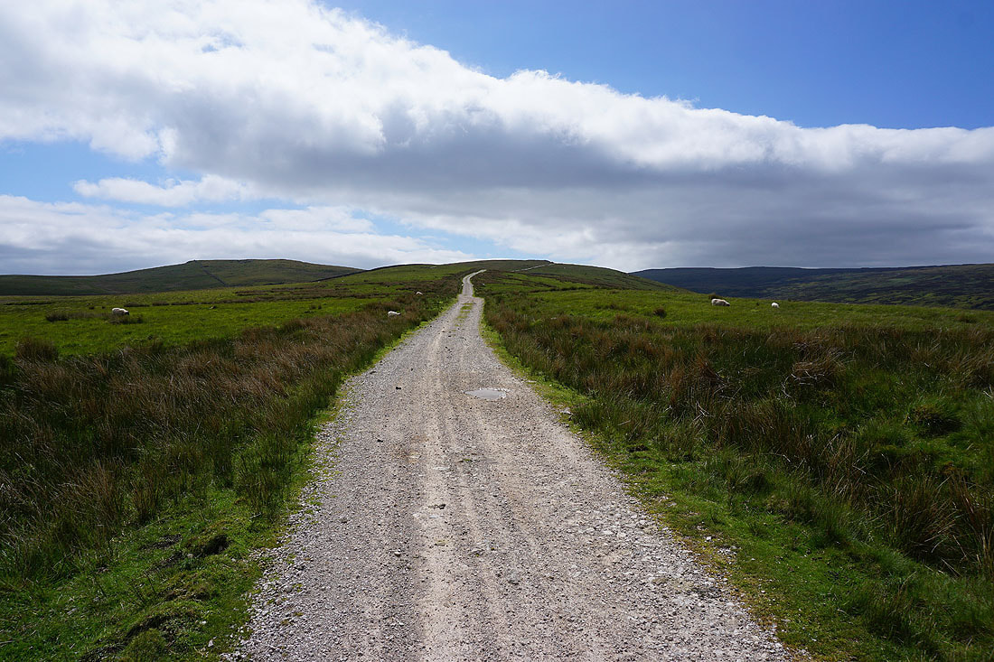
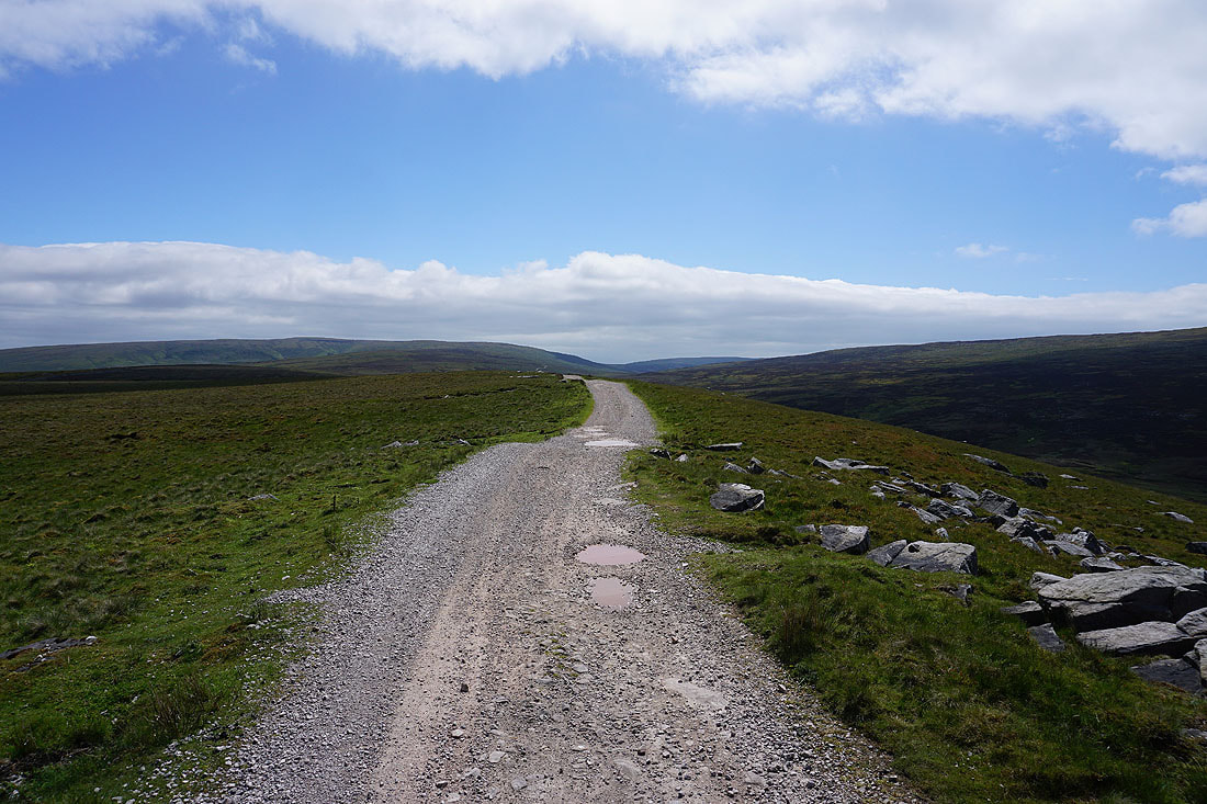
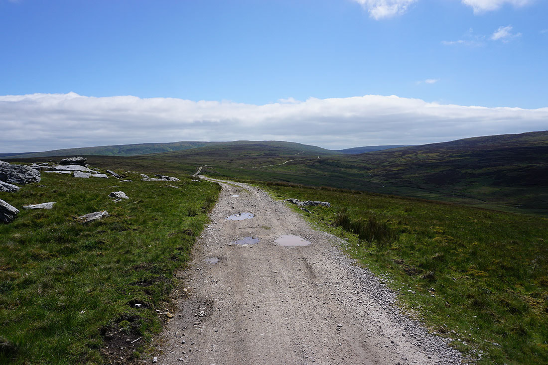
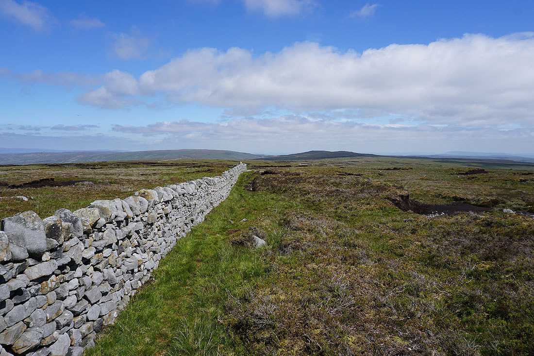
Following Hornby Road across Salter Fell..
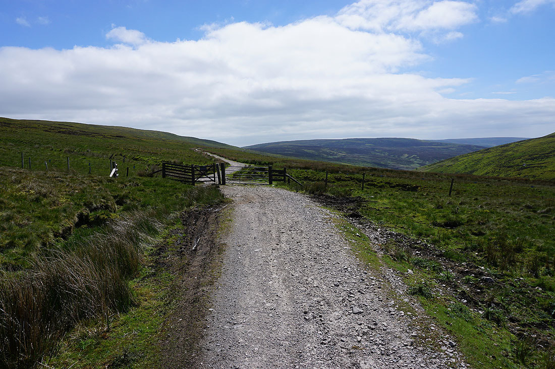
I finally reach the point where I leave Hornby Road and head for Wolfhole Crag
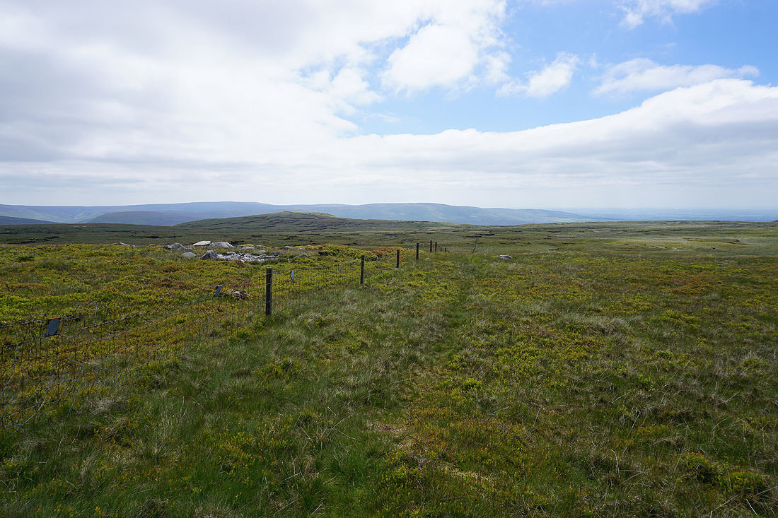
Following the fence across the moorland that makes up the watershed between the River Roeburn and the Whitendale River towards Wolfhole Crag. As you can imagine it's a bit wet underfoot..
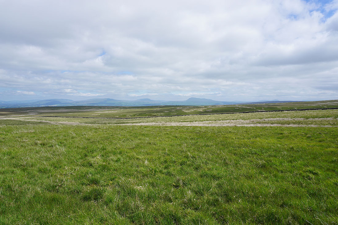
Looking back across the moorland of the watershed and the broad northern slopes of White Hill to Middleton Fell, Gragareth, Whernside and Ingleborough in the distance. I can make out the track of Hornby Road on the opposite hillside.
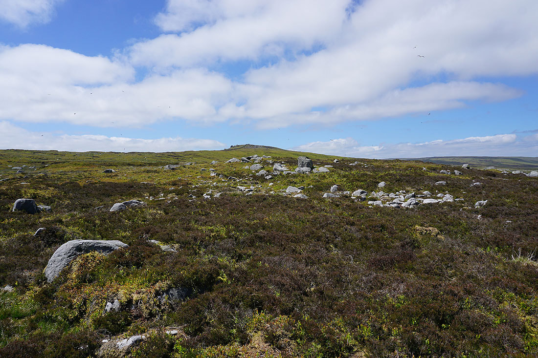
Approaching Wolfhole Crag..
Great Coum, Gragareth, Whernside, Ingleborough and Penyghent in the distance to the northeast as I reach the eastern end of Wolfhole Crag's summit
Pendle Hill in the distance beyond Burn Fell, Baxton Fell and Beatrix Fell
The trig point on Wolfhole Crag is in sight, and I can finally stop for lunch
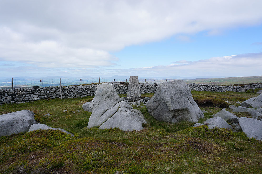
At the trig point on Wolfhole Crag with Whernside, Ingleborough and Penyghent in the distance
Looking south to Whins Brow, Totridge, Fair Snape Fell, Hawthornthwaite Fell and Brennand Great Hill. A persistent area of cloud has made it look a bit gloomy.
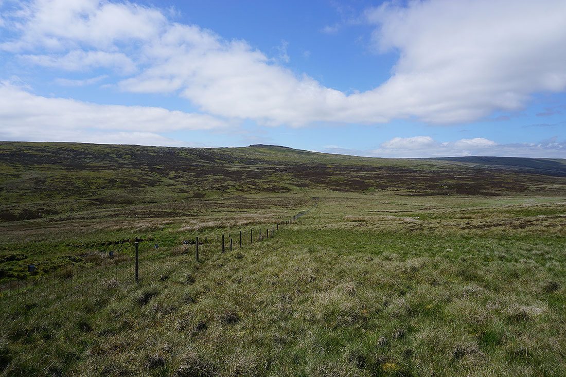
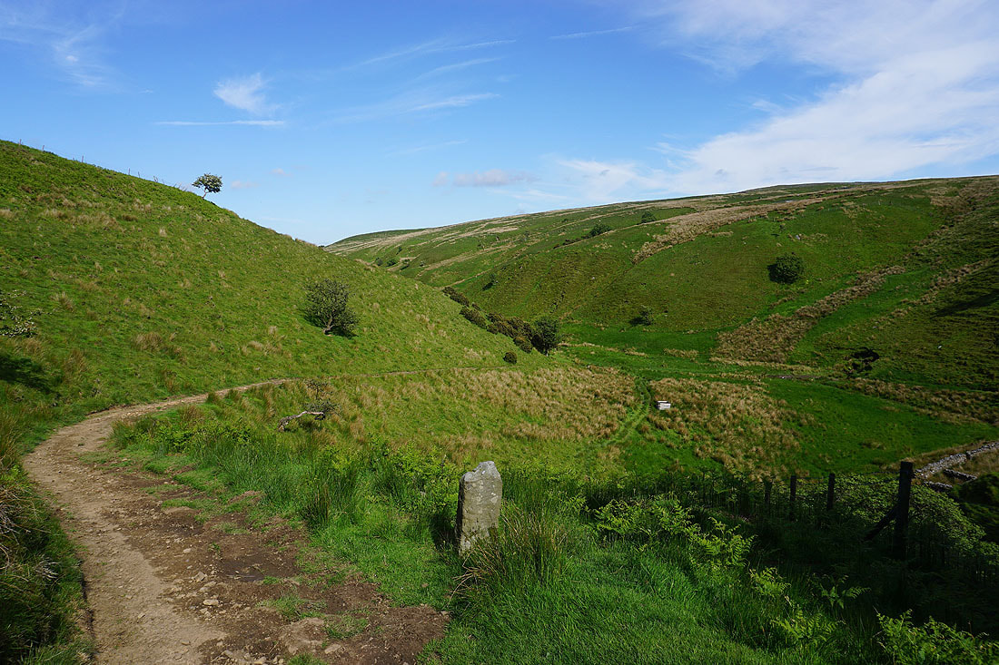
Leaving Wolfhole Crag I follow the wall west towards Ward's Stone
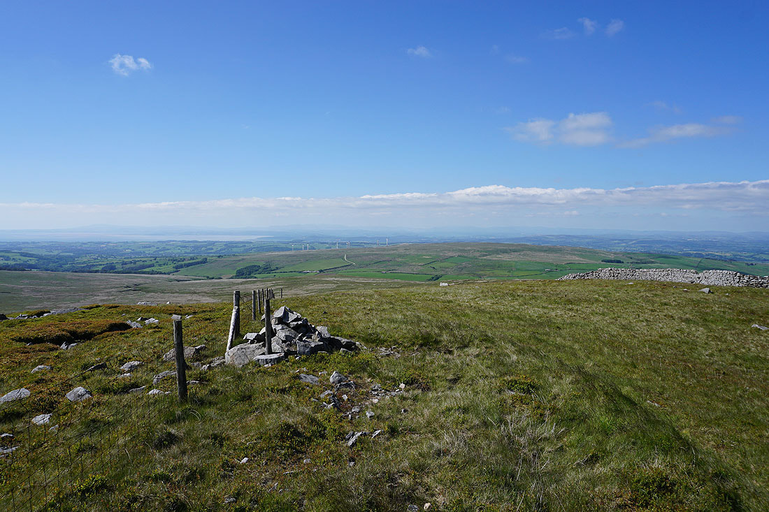
At the fence junction to the west of Wolfhole Crag
A few weeks ago I followed the fence south to Brennand Great Hill
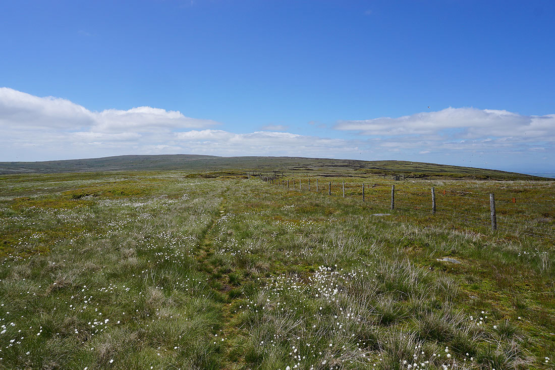
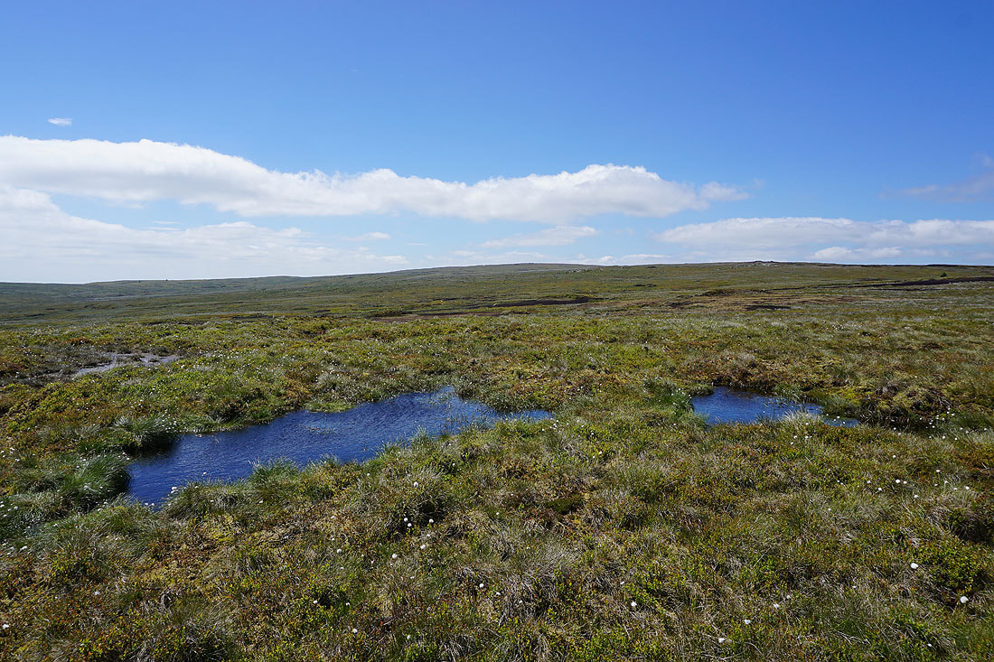
Plenty of cotton grass in flower on the moors to the west of Wolfhole Crag
Crossing the shooters track between Wolfhole Crag and Ward's Stone
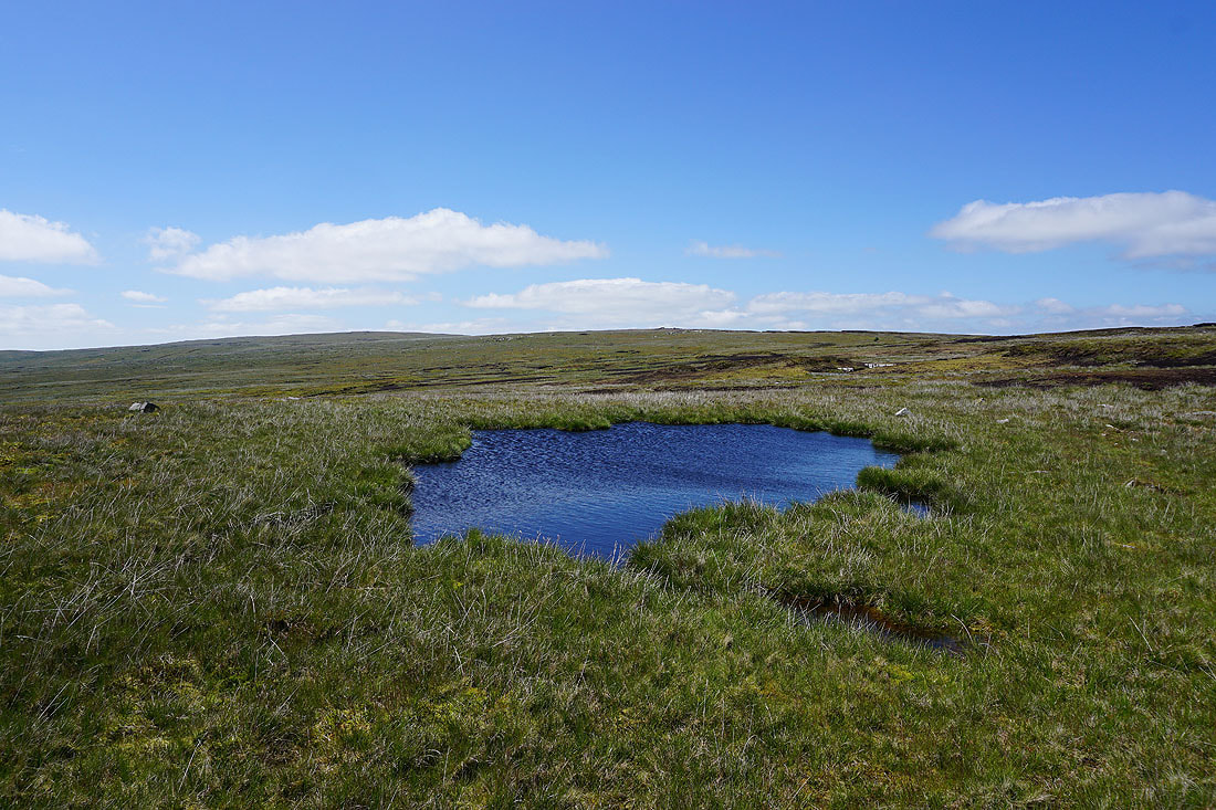
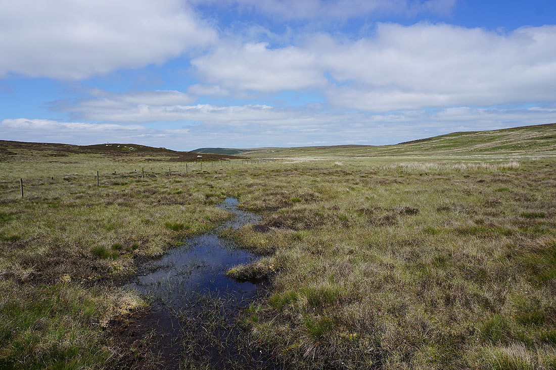
The strong breeze ripples the surfaces of moorland pools..
At a change in direction of the wall that I'm following I get a good view of Whernside, Ingleborough and Penyghent in the Yorkshire Dales
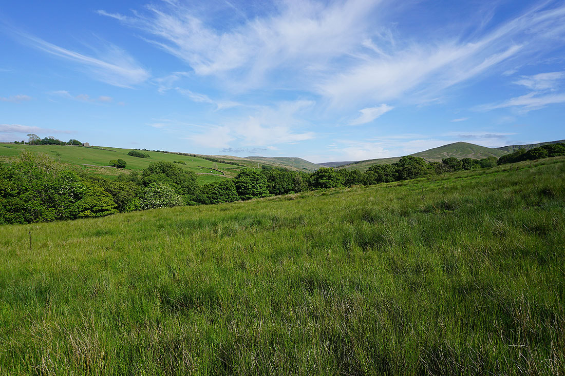
Looking south to Whins Brow, Brennand Great Hill and Totridge
and east to White Hill and Wolfhole Crag
The broad swell of Ward's Stone rises to the west
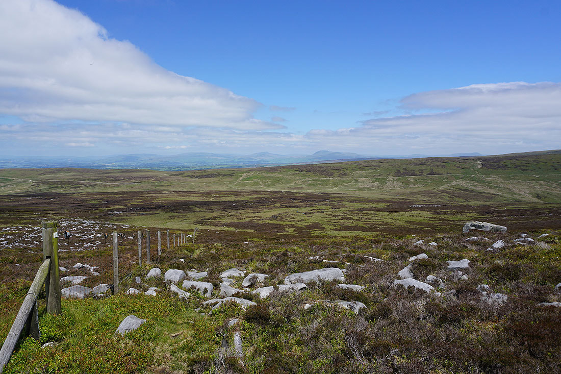
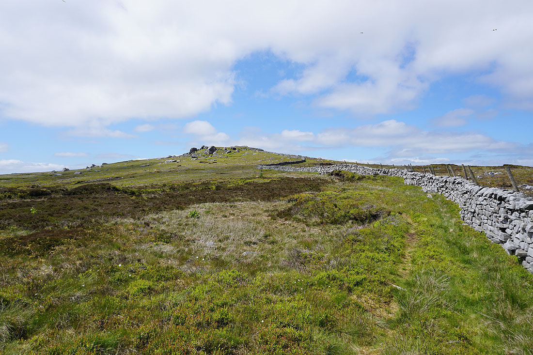
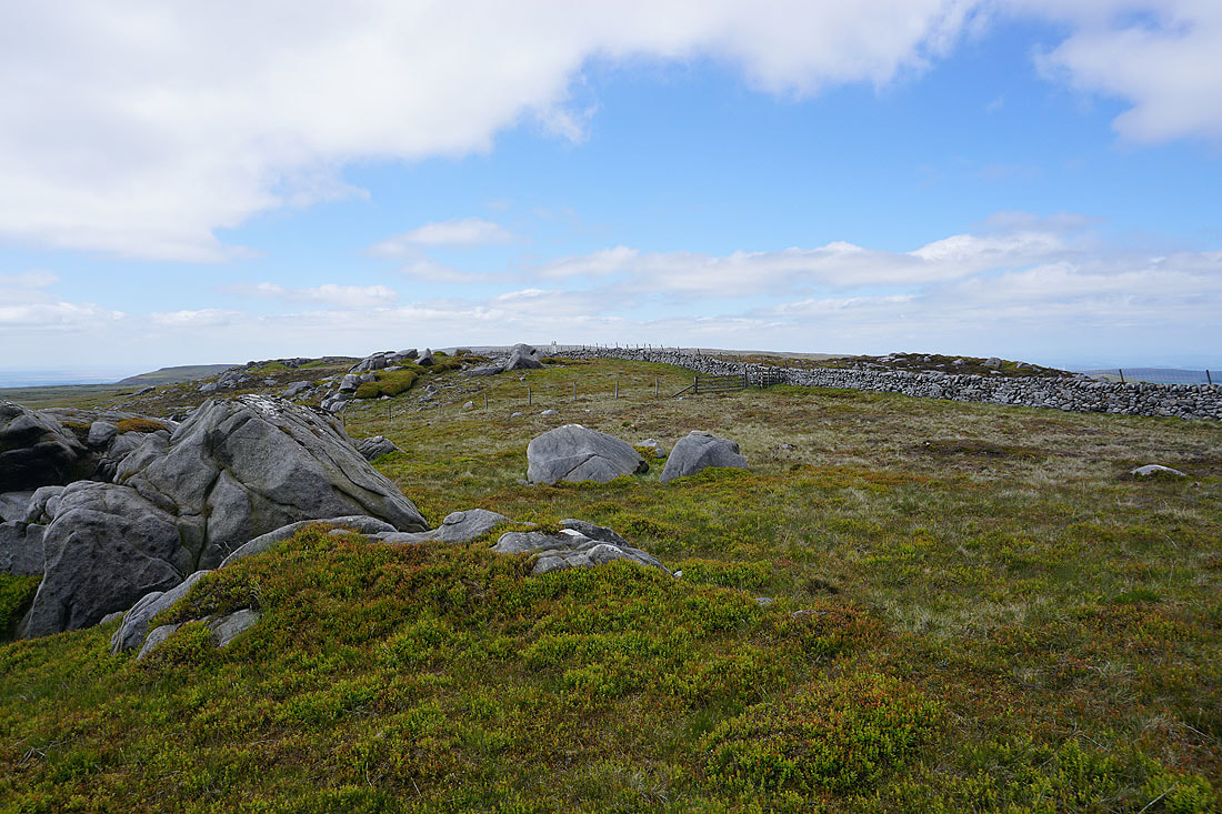
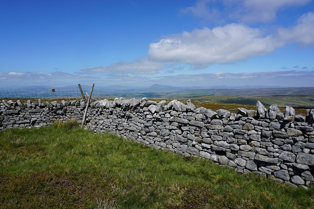
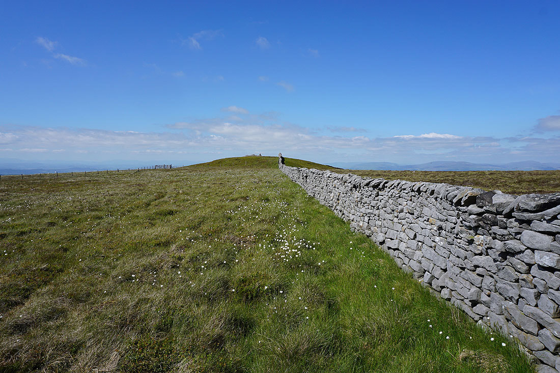
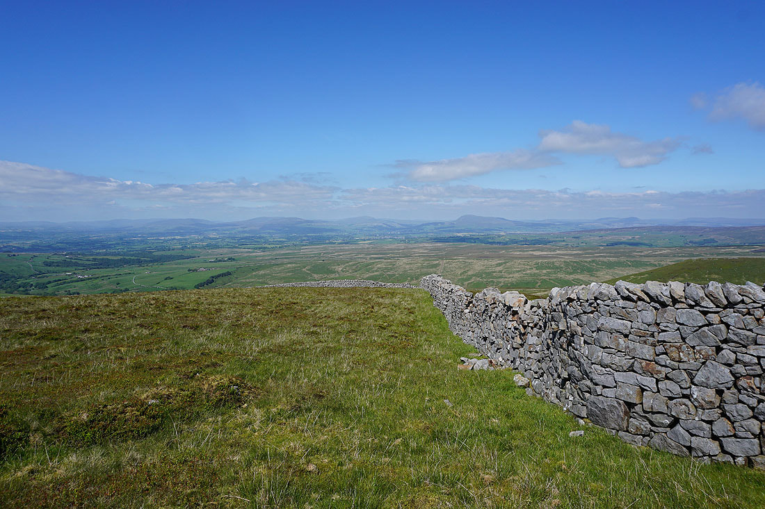
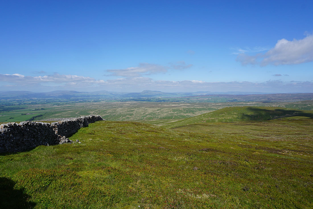
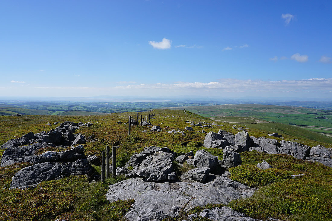
I finally reach the wall/fence junction at the moorland top to the south of High Stephen's Head. There's a great view across to the Yorkshire Dales from up here.
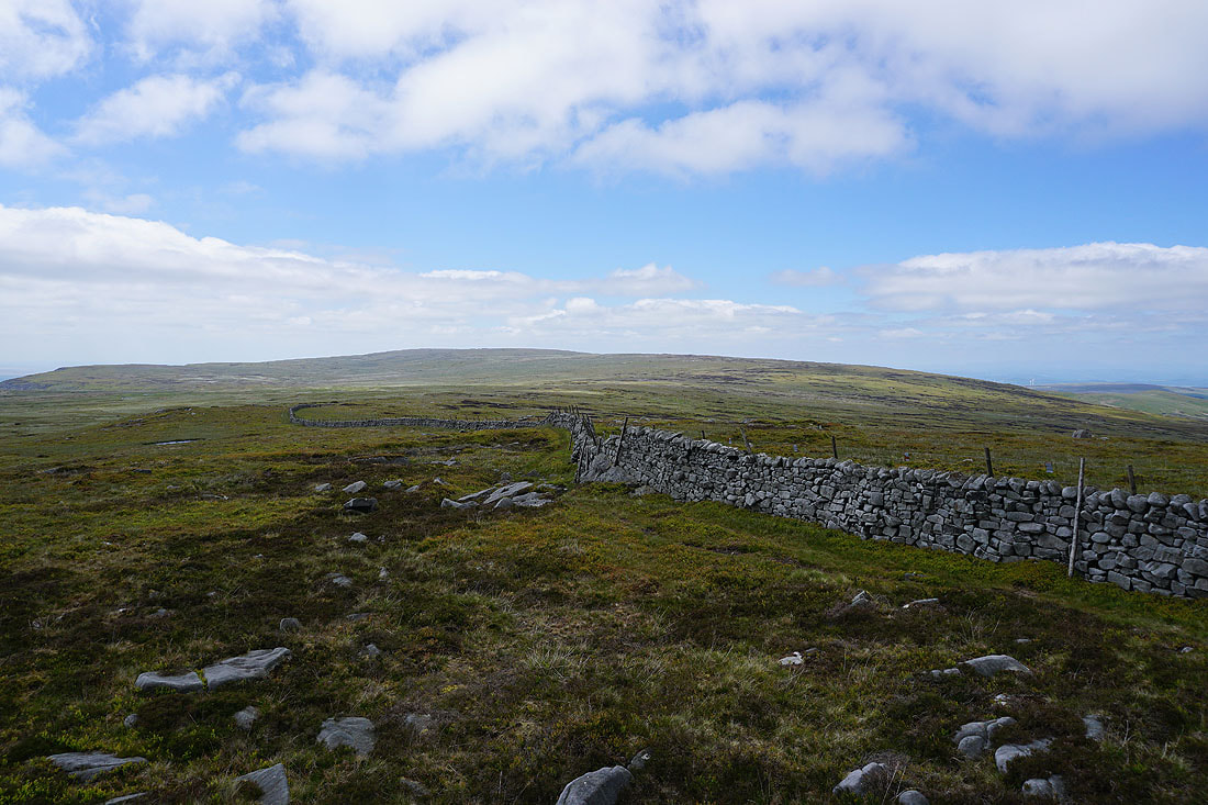
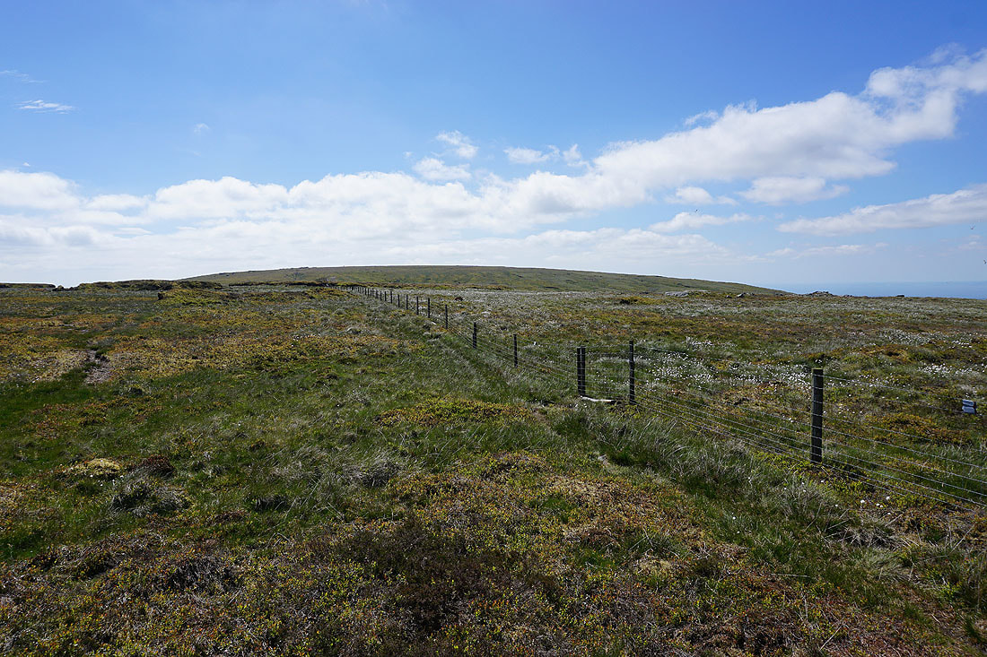
Following the wall north to High Stephen's Head. I don't think many people come this way, there was no clear trod in the grass to keep to..
Morecambe Bay and a hazy line of Lake District fells to the northwest as I reach High Stephen's Head..
Looking northeast across Goodber Common to Middleton Fell, Great Coum, Gragareth, Whernside, Ingleborough and Penyghent in the Yorkshire Dales..
Ward's Stone and Grit Fell behind me
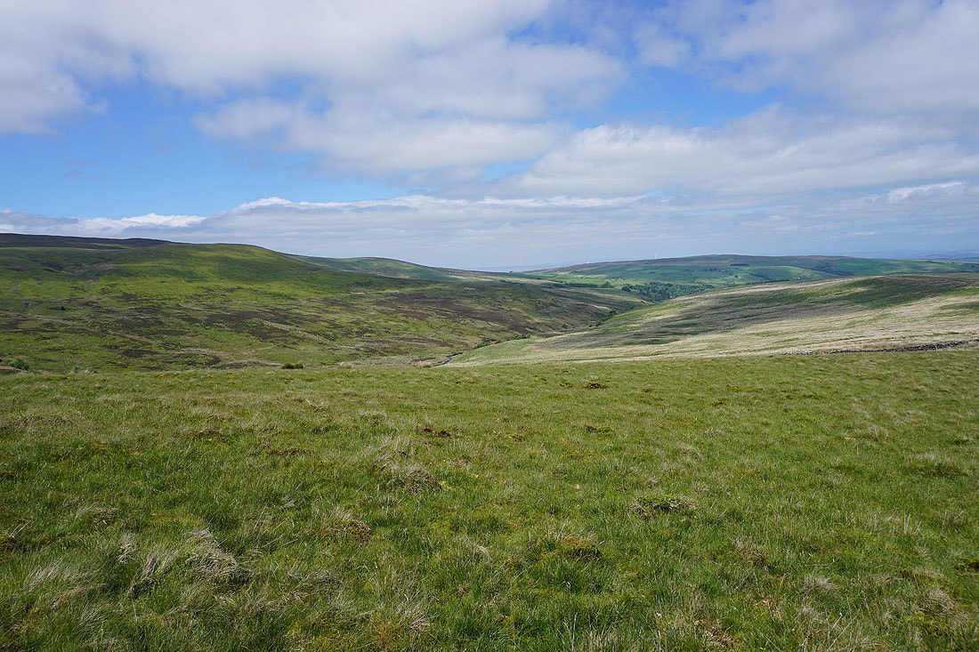
The wooded valley of Roeburndale below
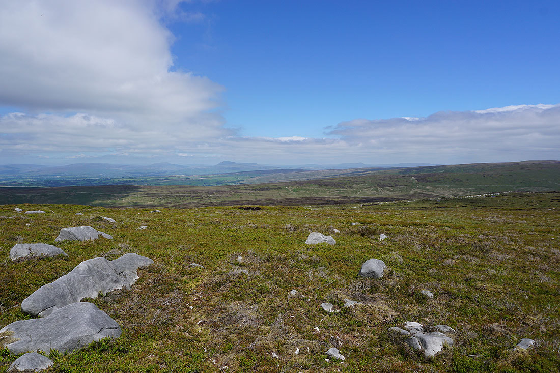
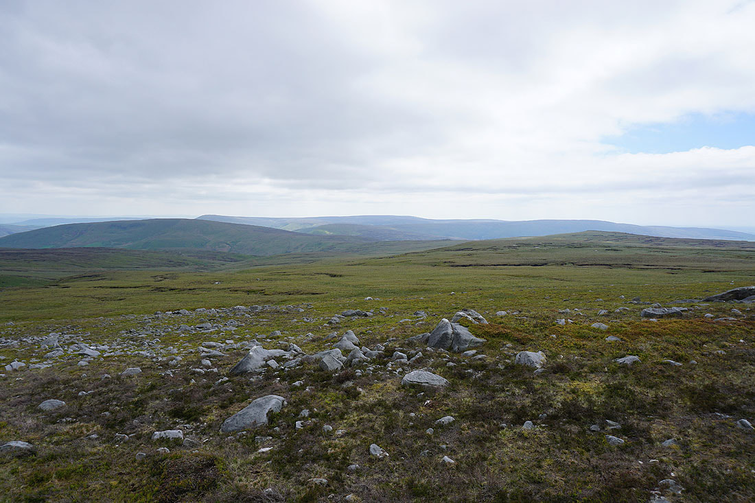
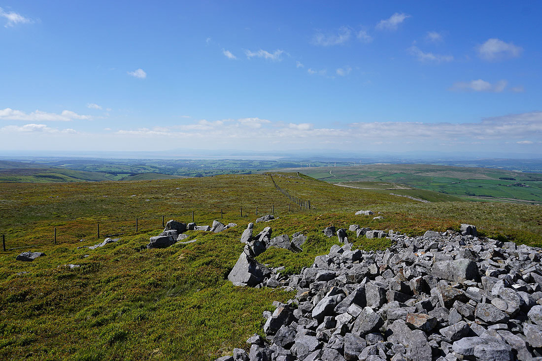
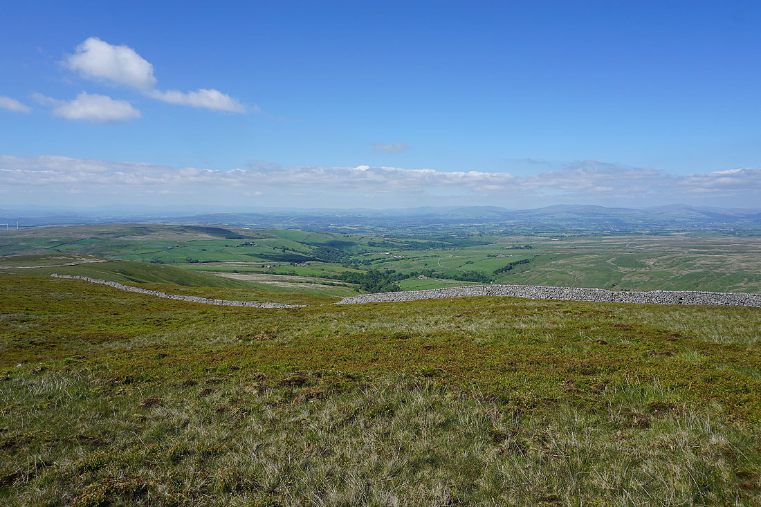
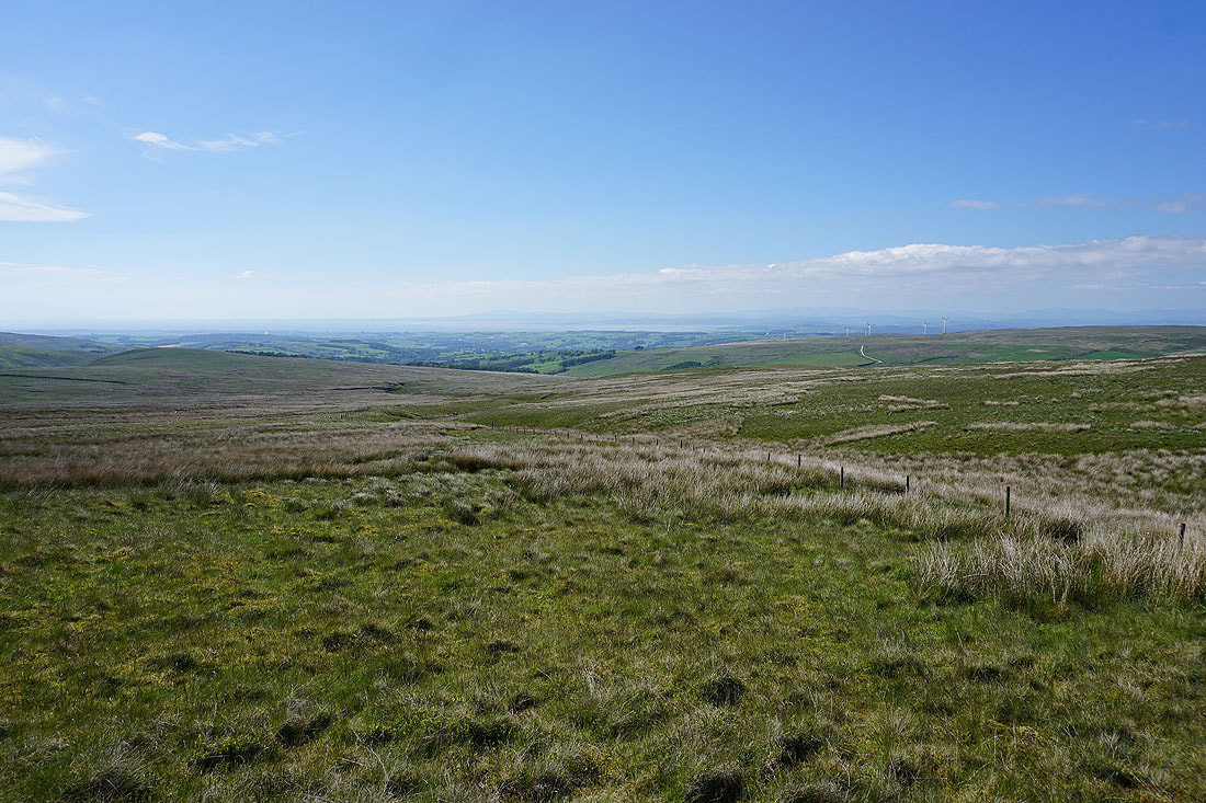
Great views across to the Yorkshire Dales, Morecambe Bay and the Lake District as I follow the fence northwest to Gallows Hill. I've got the best weather of the day for taking them in...
On Gallows Hill. Morecambe Bay and the Lake District in the distance beyond Caton Moor and its windfarm.
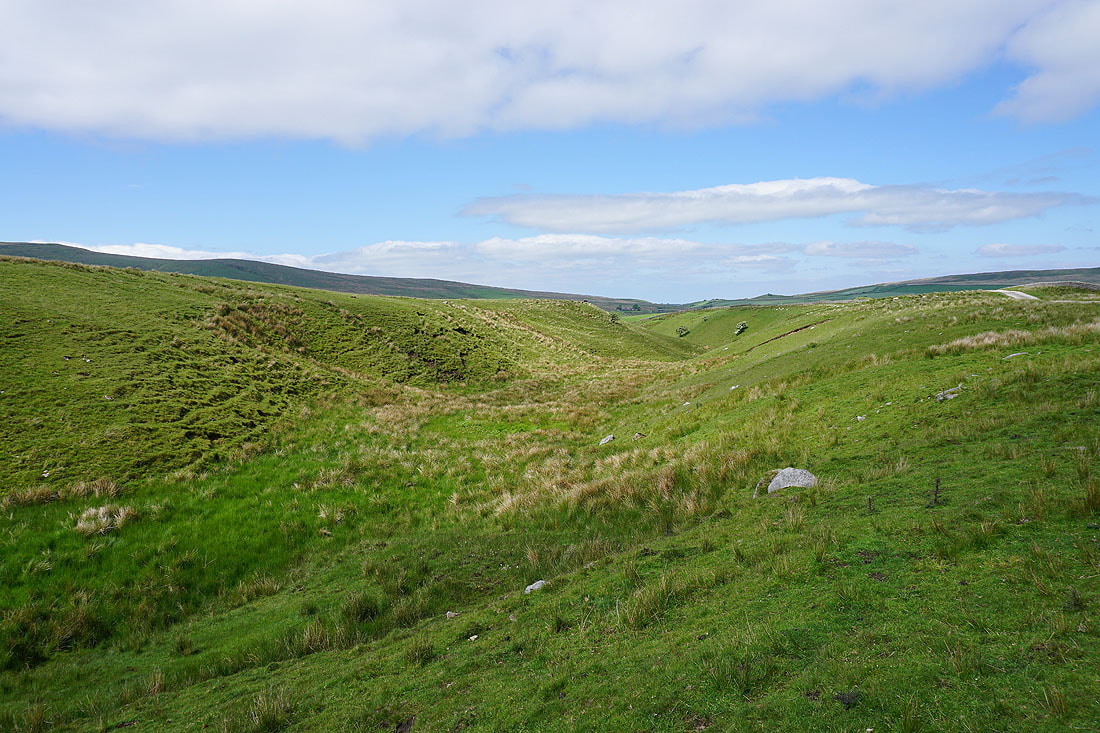
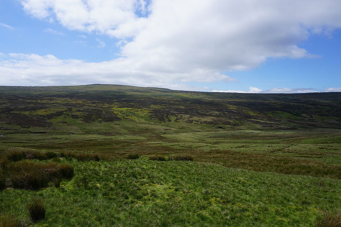
Blanch Fell and Foxdale below
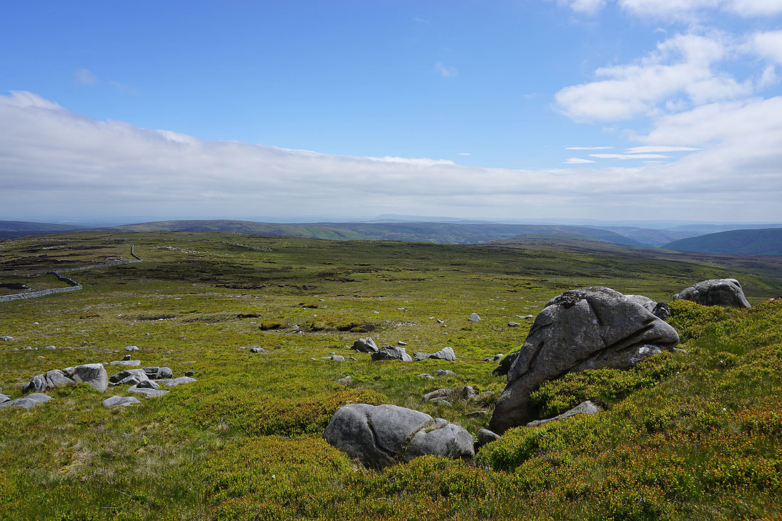
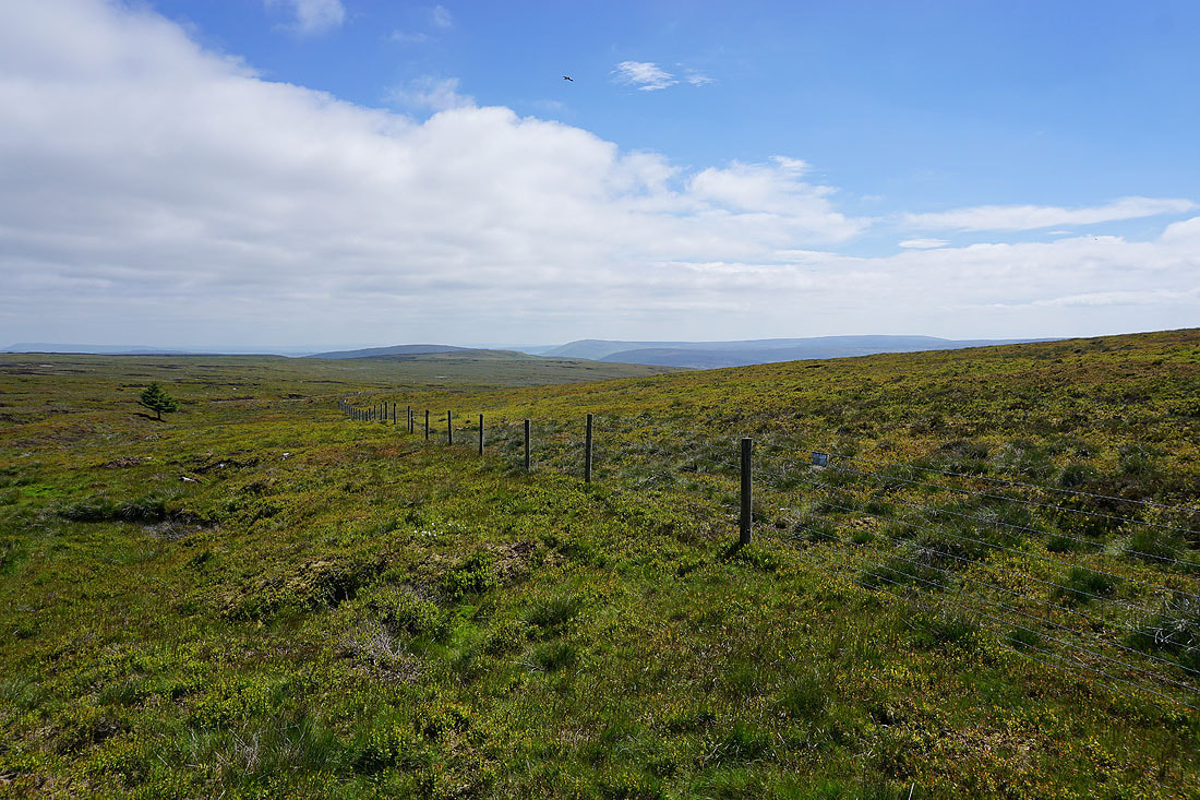
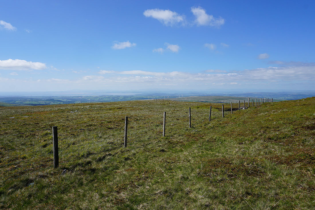
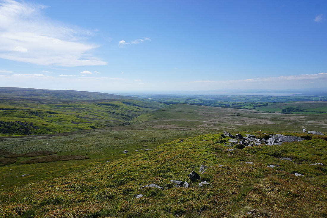
Leaving Gallows Hill I follow a fence down the western slopes of Haylot Fell. At the moment the going underfoot isn't too bad.
Looking back up to Gallows Hill
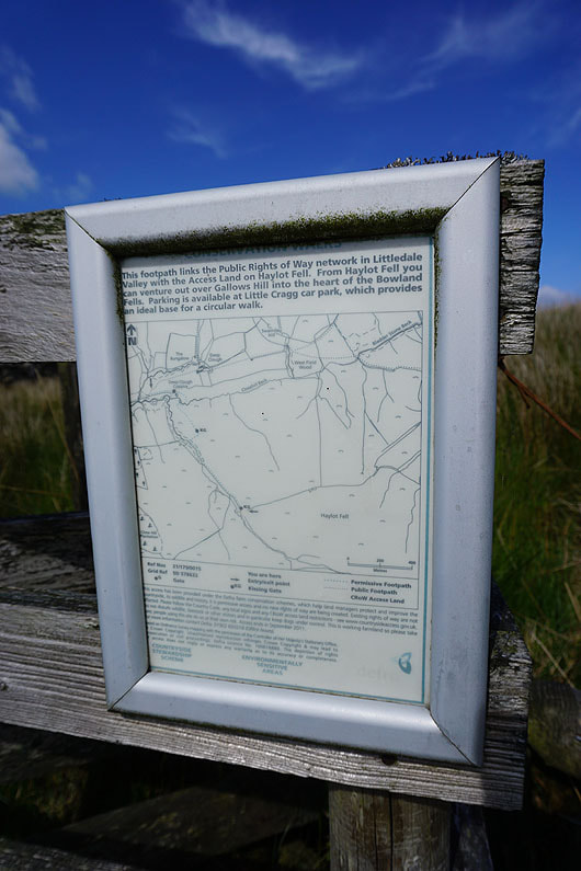
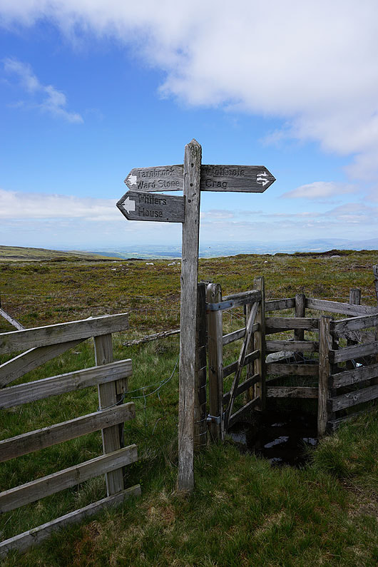
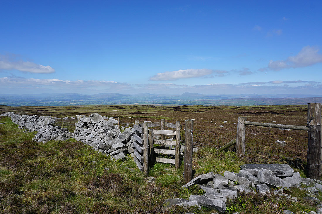
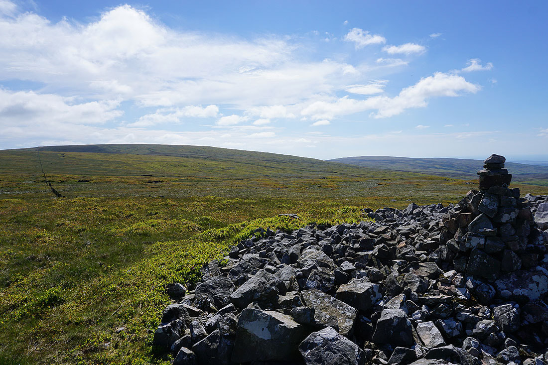
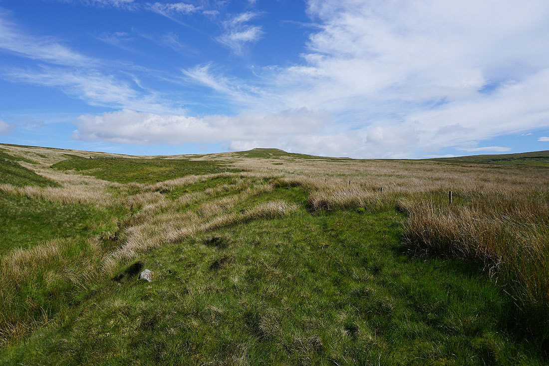
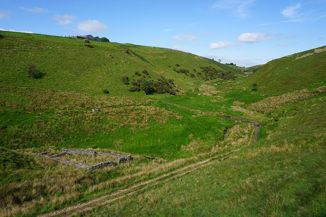
Reaching this sign at a junction of walls and fences above Ragill Beck on Haylot Fell confirms that I am where I thought I was. It wasn't easy getting here with long grass and marshy ground underfoot in places. It was a good job that I'd brought my trekking poles with me.
Following a quadbike track above Ragill Beck down to Deep Clough
Crossing Deep Clough..
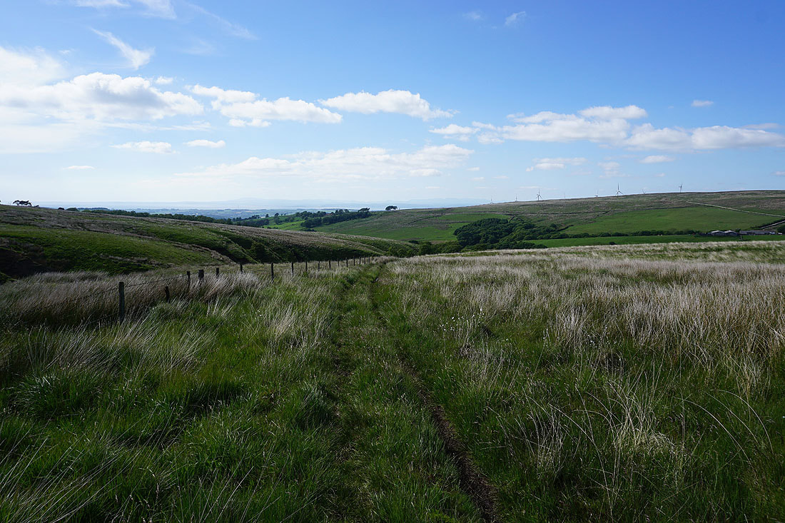
From Deep Clough Farm I follow a footpath east past Middle Barn
To my right Mallowdale Pike and Gallows Hill rise above the slopes of Haylot Fell
Heading east on the footpath across Bladder Stone Beck and up to Haylot Farm..
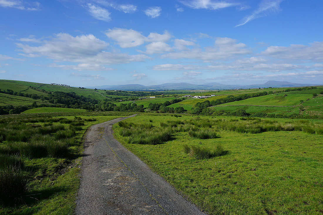
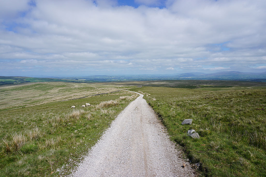
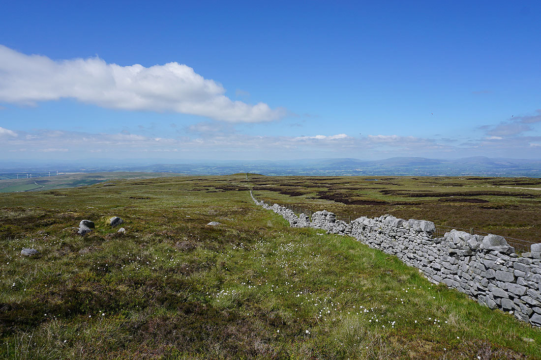
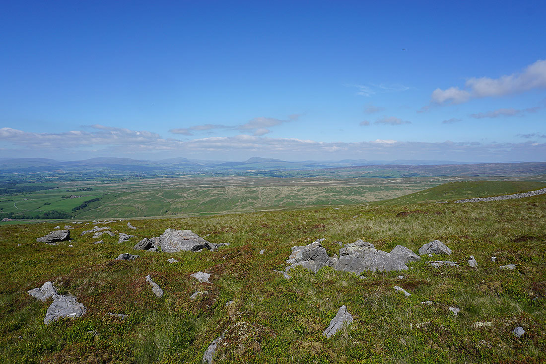
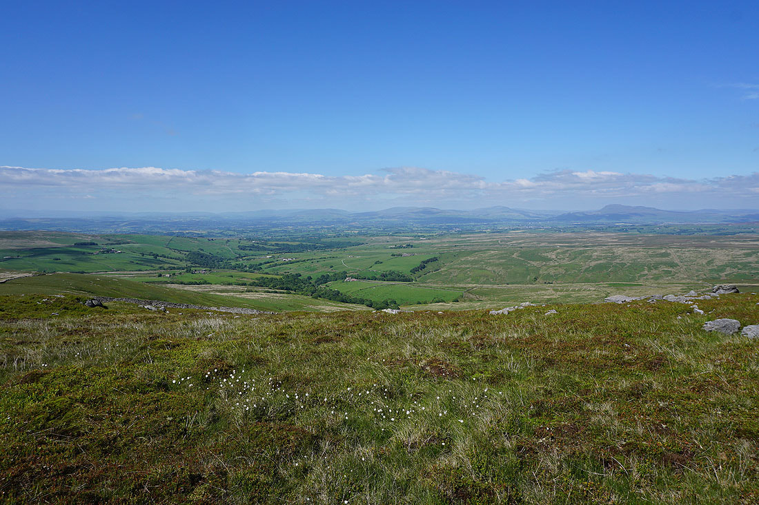
On the bridleway from Haylot Farm down to the road to Lower Salter. Great view of the Yorkshire Dales in the distance.
Alderstone Bank and Mallowdale Pike above the woods around the River Roeburn
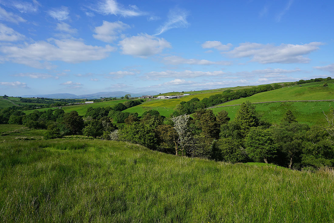
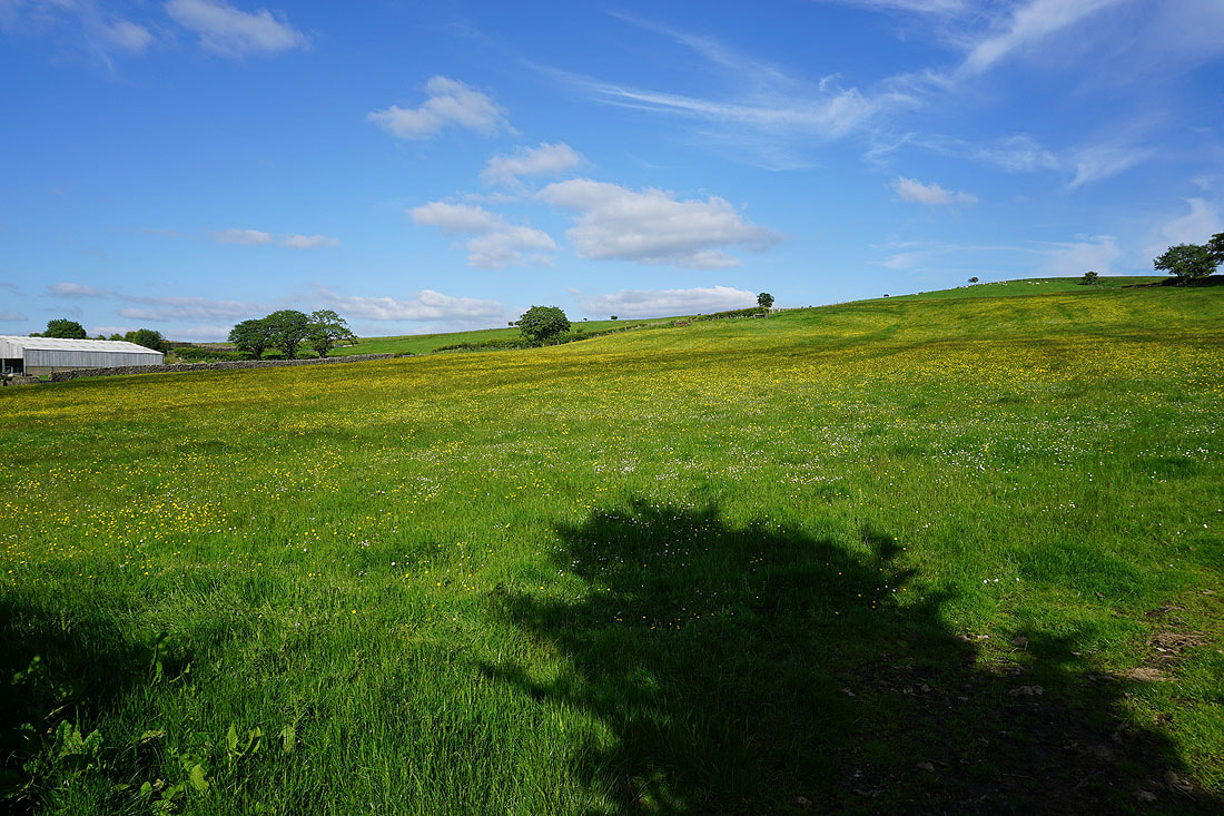
Looking across to Middle Salter Farm surrounded by buttercup filled fields
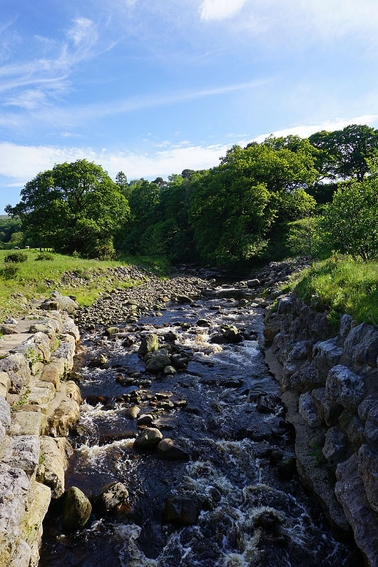
Crossing the River Roeburn
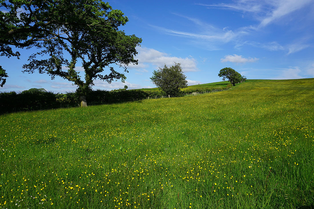
Buttercup filled fields bathed in late afternoon sunshine at Lower Salter..
I finish with walking down the road to where I'm parked at Barkin Bridge