4th June 2023 - Boulsworth Hill
Walk Details
Distance walked: 7.0 miles
Total ascent: 1477 ft
OS map used: OL21 - South Pennines
Time taken: 4 hrs
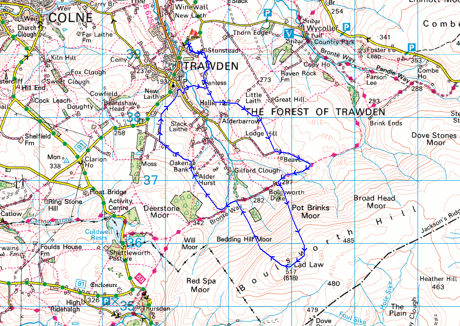
Route description: Trawden-Stunstead House-Higher Stunstead-Near Wanless Farm-Far Wanless Farm-Little Laith-New Laithe Farm-Mean Moss Farm-Pennine Bridleway-Boulsworth Hill-Abbot Stone-Pennine Bridleway-Alder Hurst Head-Oaken Bank-Pasture Springs Farm-Lanehouse, Trawden-Trawden Brook-Far Wanless Farm-Near Wanless Farm-Higher Stunstead-Stunstead House-Trawden
I couldn't resist the lure of the great summer weather as I decided to head out for a walk close to home this afternoon, so I made the short drive to Trawden for a walk up Boulsworth Hill. I've discovered that the Recreation Ground on Keighley Road above Trawden is a good place to start a walk up Boulsworth Hill from, and gives me plenty of options for taking different routes for getting there and back, and today's walk included some footpaths that I'd not used before. It was beautiful early summer's day with lots of blue skies and sunshine, a gentle breeze, and good visibility for taking in the views.
After parking at the Recreation Ground on Keighley Road above Trawden I crossed the road and took the footpath opposite to Stunstead House, where I turned left and took the footpath along a track to Higher Stunstead, then right along a track to Near Wanless Farm. I then took the footpath to Far Wanless Farm, and then the track towards Alderbarrow Farm before taking a footpath up through fields to Little Laith, and a footpath up through fields to New Laithe Farm. After making my way round New Laithe Farm I followed a footpath south across fields to Mean Moss Farm, from where I took a track up to the Pennine Bridleway. I then walked west along the bridleway until I reached a concessionary footpath on the left which I followed up to the trig point on the top of Boulsworth Hill. After a stop to take in the view I then made my way down by the path past the Abbot Stone and back to the Pennine Bridleway, which I briefly walked west along to reach a footpath on the right after crossing the ford over Will Moor Clough. I followed this footpath north to Alder Hurst Head, then down to Oaken Bank, from where I took a track up to Pasture Springs Farm, and a footpath on the right down through fields to Lanehouse in Trawden. I crossed the road at a bus stop, briefly walked down a cobbled lane, then took a footpath on the right down to and across Trawden Brook, then up to Far Wanless Farm. From Far Wanless Farm I retraced my steps to where I was parked at the Recreation Ground on Keighley Road above Trawden.
Route map
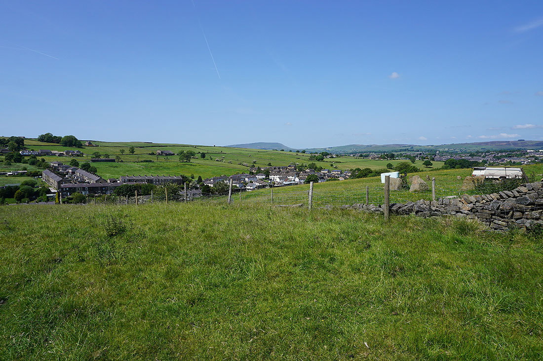
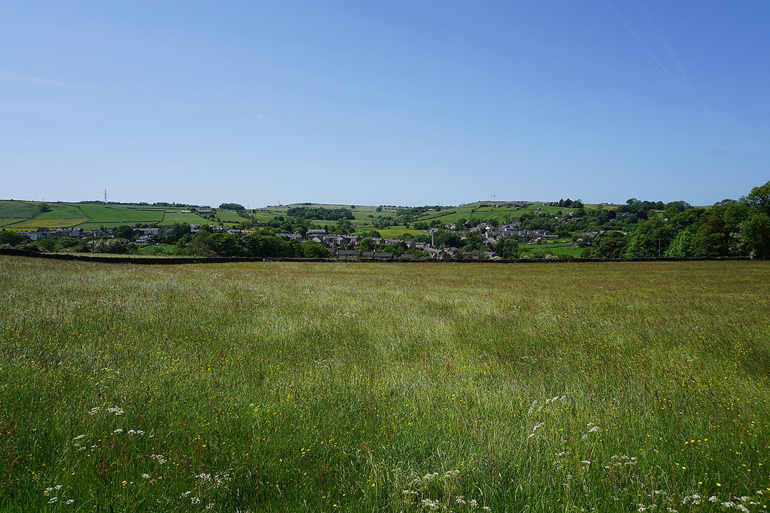
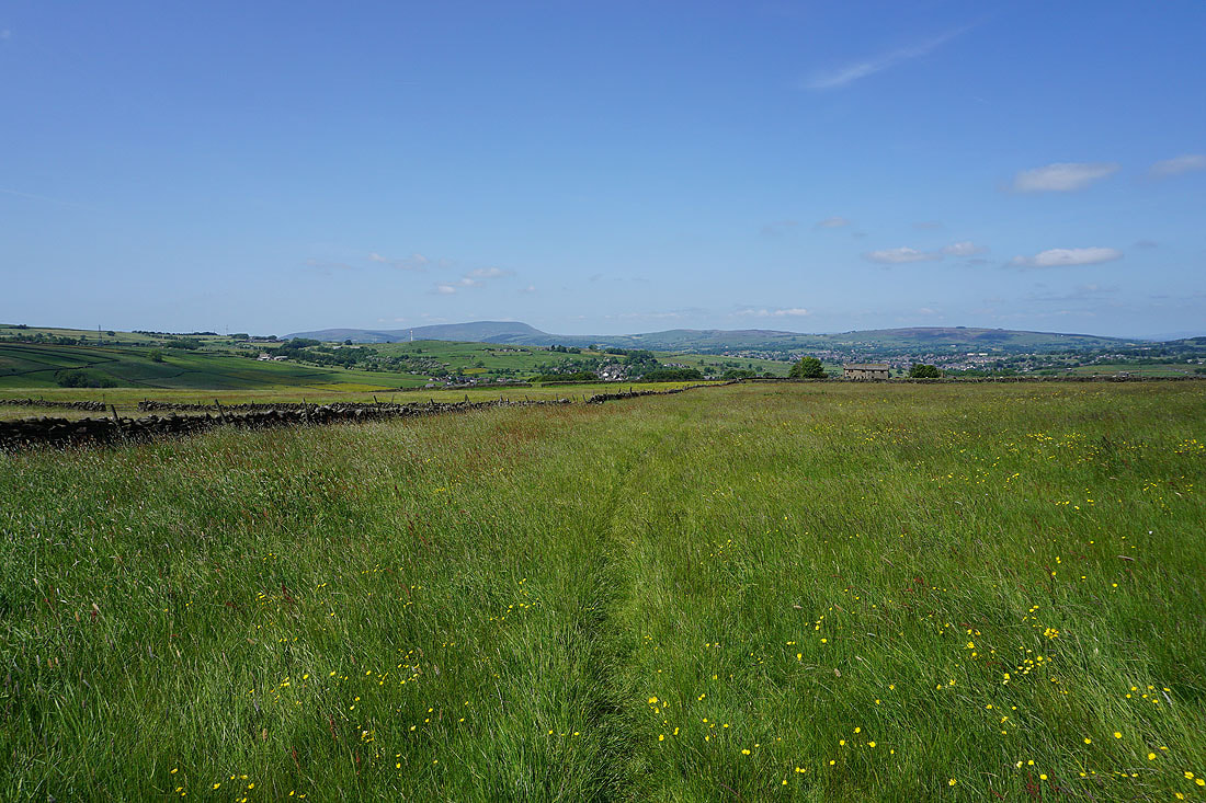
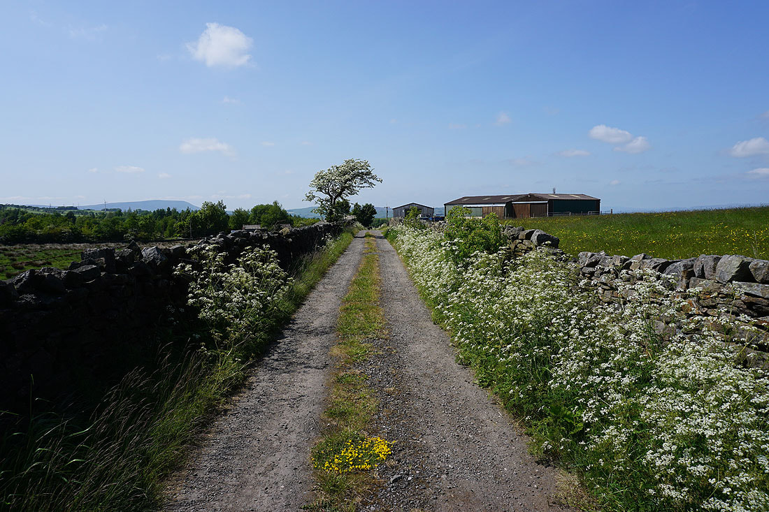
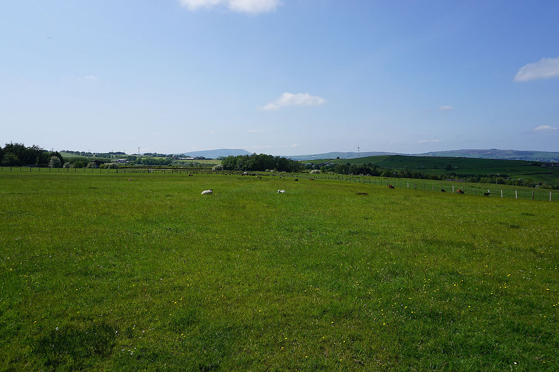
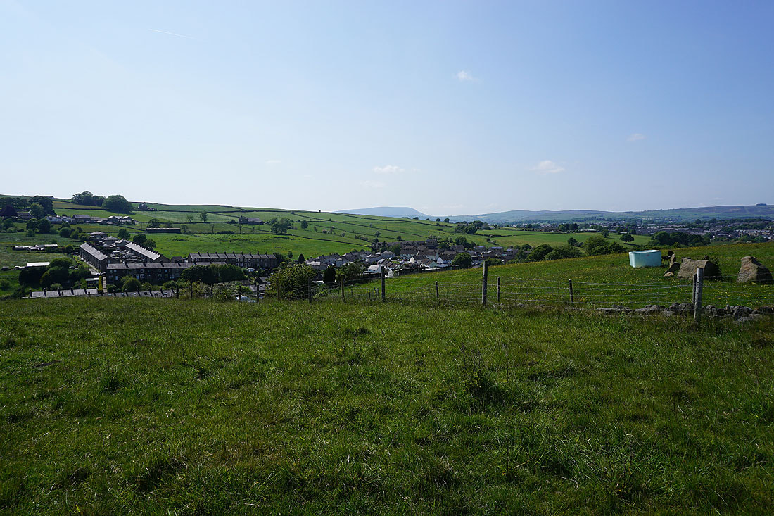
Pendle Hill in the distance above Trawden as I set off..
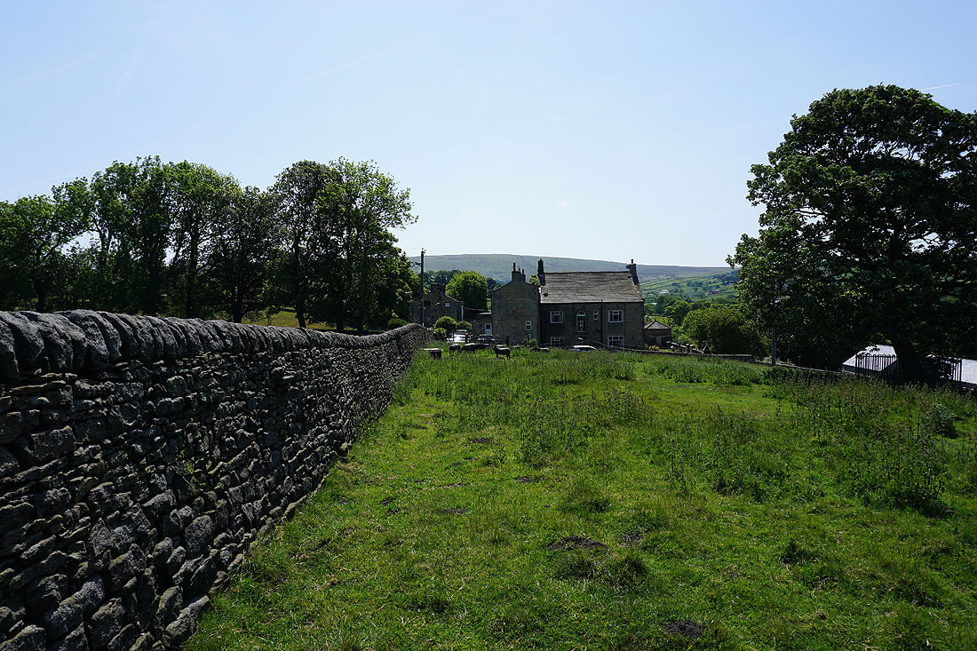
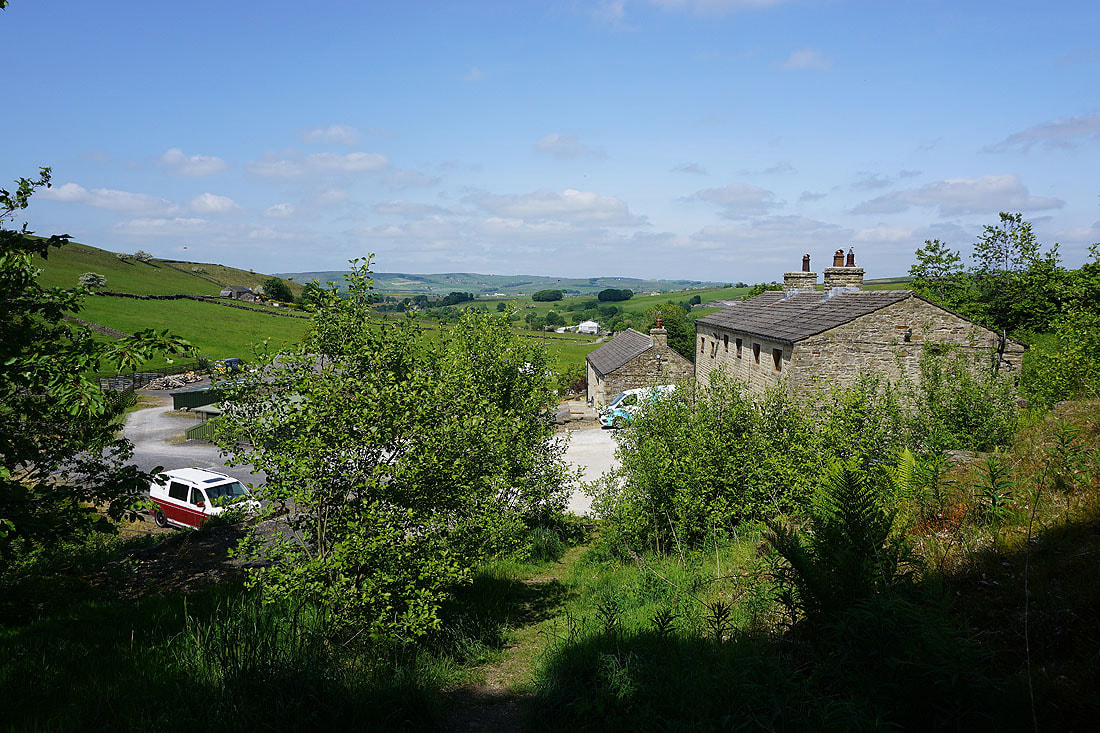
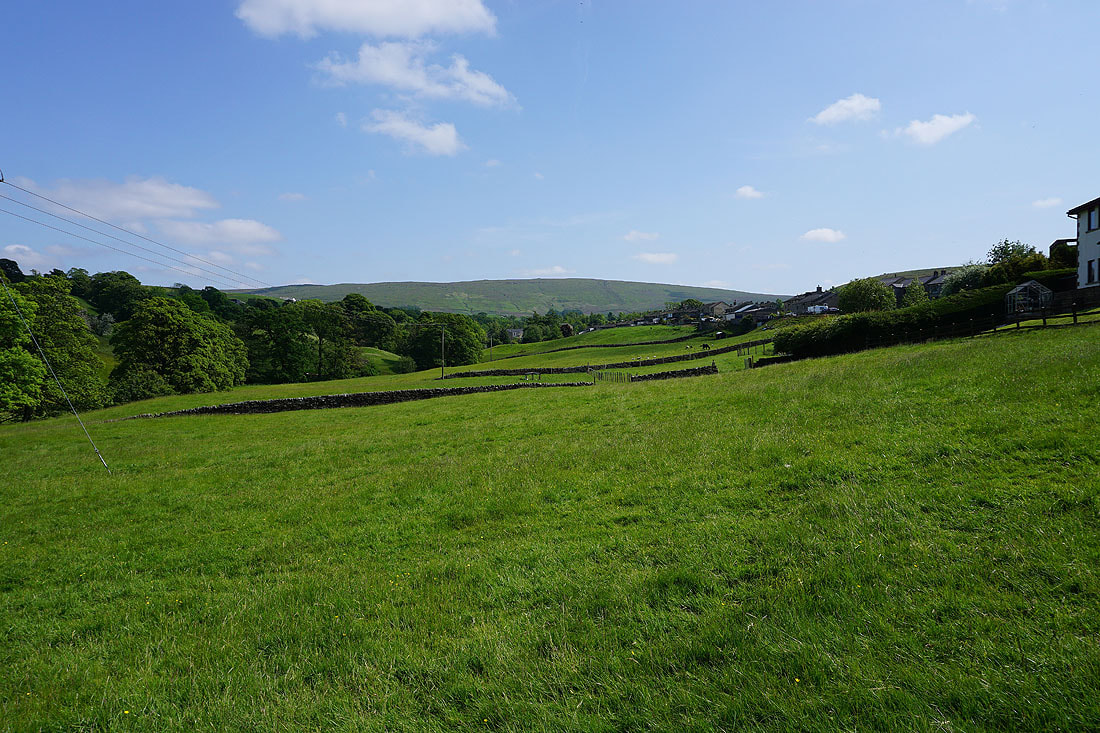
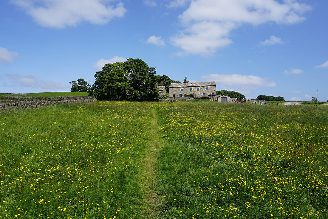
..on the footpath to Stunstead House
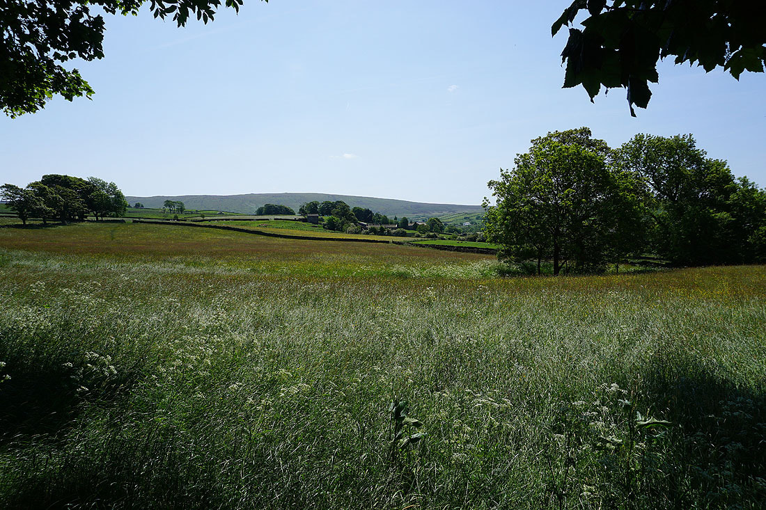
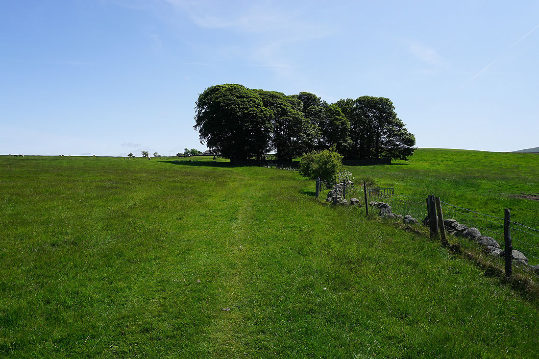
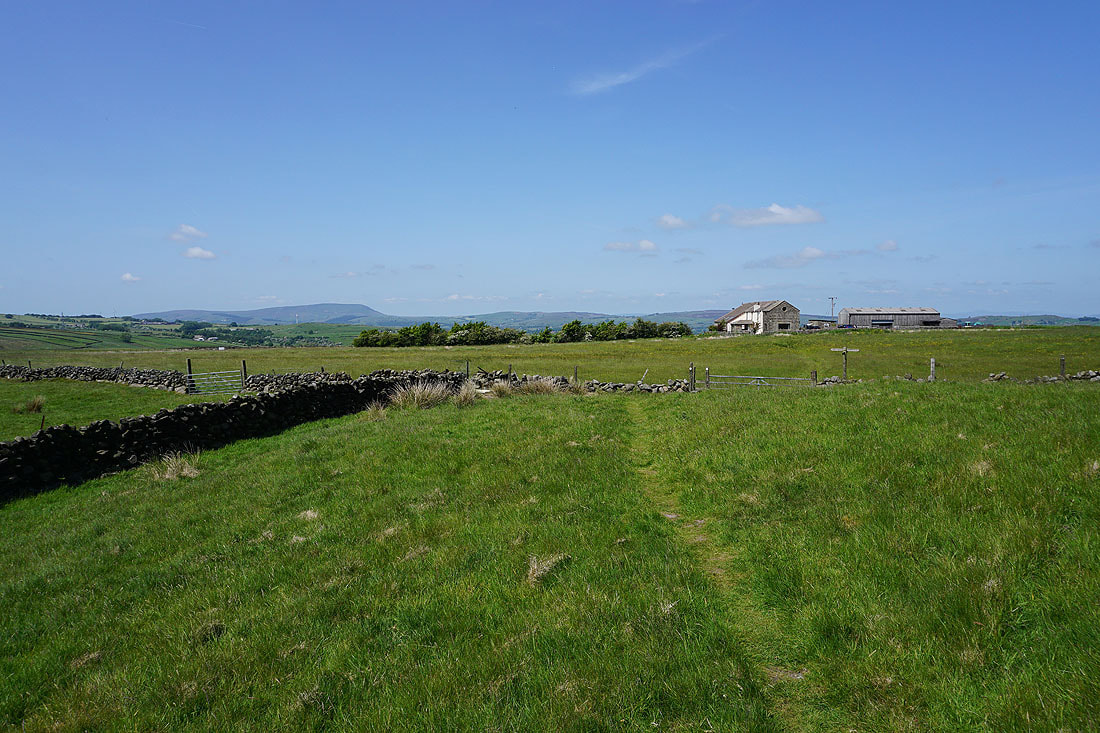
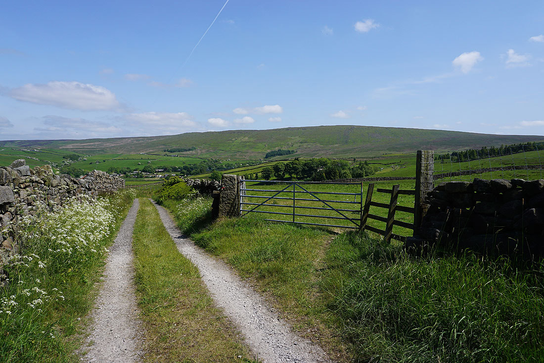
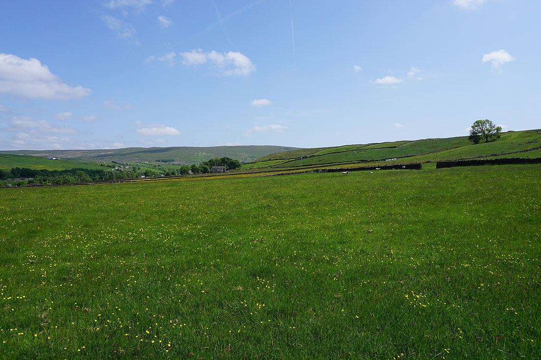
Boulsworth Hill in the distance
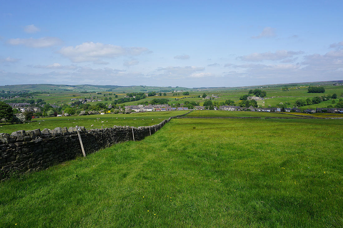
Views across Trawden as I take the footpath to Near Wanless Farm..
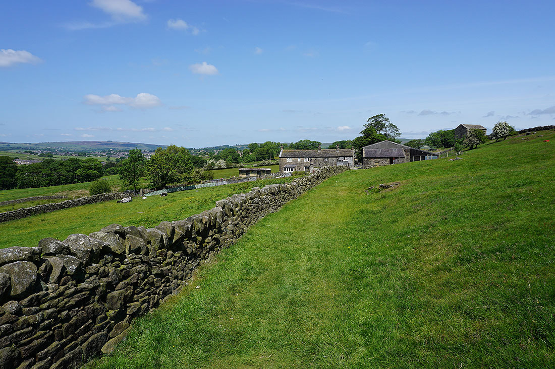
Past Near Wanless Farm
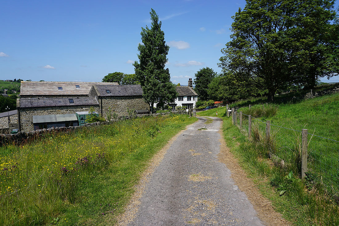
and Far Wanless Farm
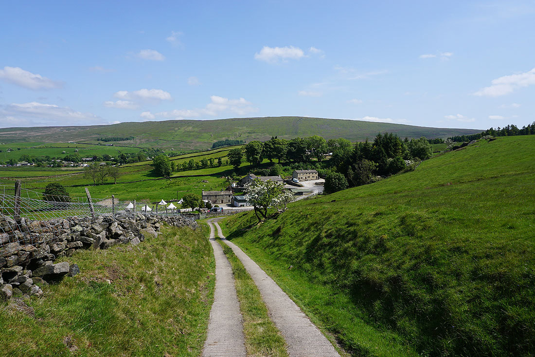
Boulsworth Hill in the distance as I walk along the track from Far Wanless Farm towards Alderbarrow Farm
I leave the track for a footpath up to Little Laith
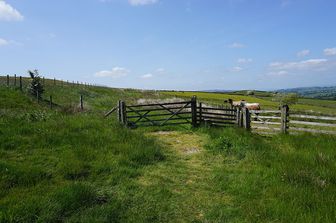
On the footpath from Little Laith up to New Laithe Farm
Looking back to Pendle Hill in the distance
and again from the footpath from New Laithe Farm to Mean Moss Farm
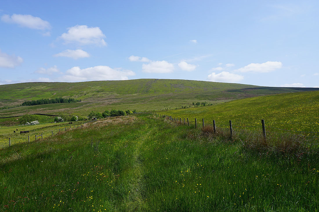
Boulsworth Hill from Mean Moss Farm
Pendle Hill from Mean Moss Farm
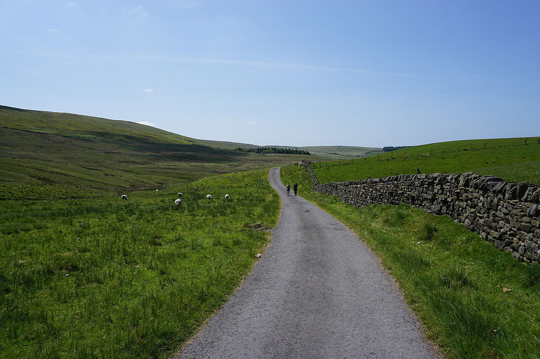
Walking west along the Pennine Bridleway beneath Boulsworth Hill
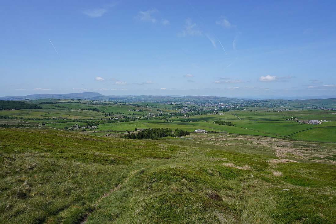
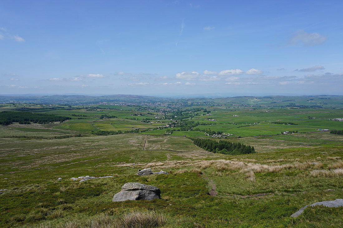
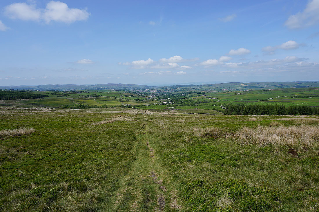
Views back down to Trawden, and to Pendle Hill and White Moor in the distance as I climb the footpath up Boulsworth Hill..
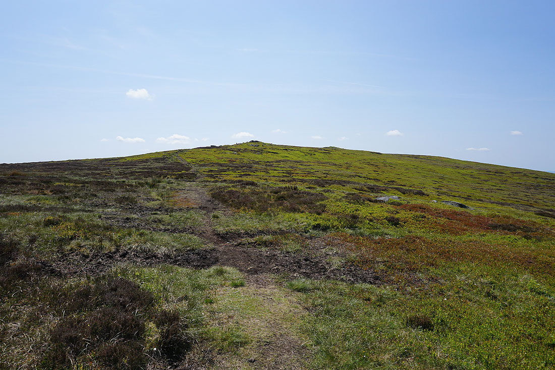
The summit ahead as I reach Little Chair Stones
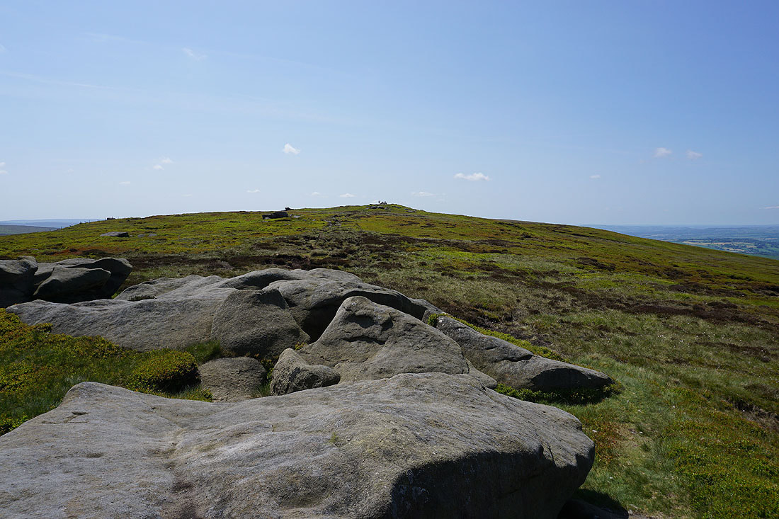
and again from Weather Stones
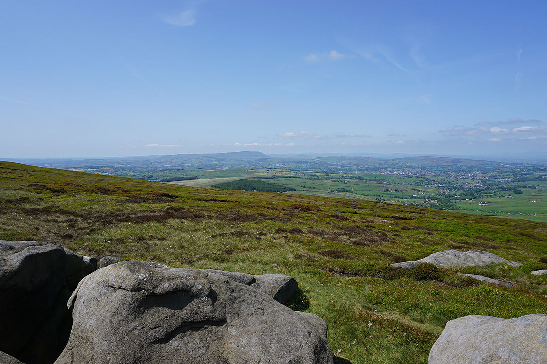
Pendle Hill in the distance from Weather Stones
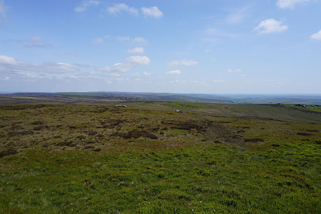
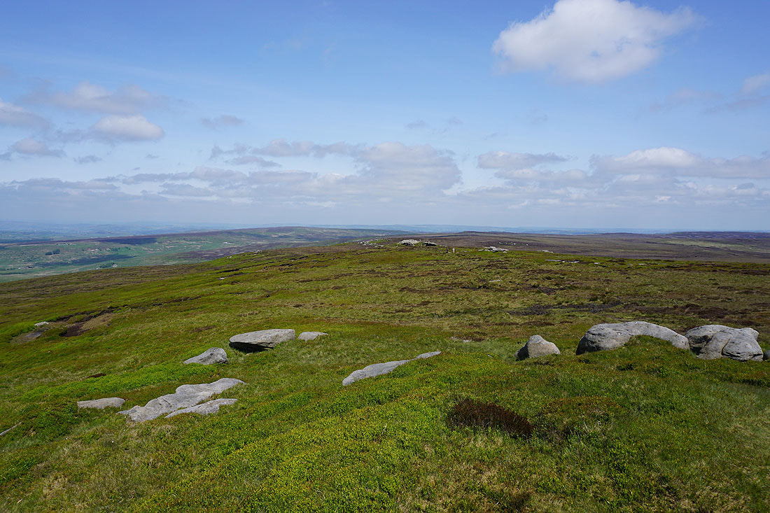
Looking east to Wolf Stones and Crow Hill
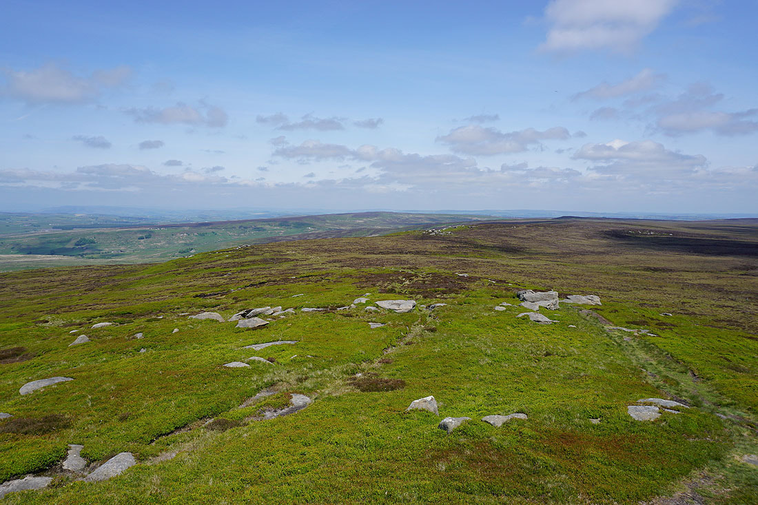
I've gone straight past the trig point and to the prominent outcrop that gives me a good view to the south and west. Dove Stones and the moors around Calderdale to the south..
..then round to the southwest, Grey Stone Hill, Gorple Hill, and Hoof Stones Height
and Thieveley Pike and Hameldon Hill in the distance
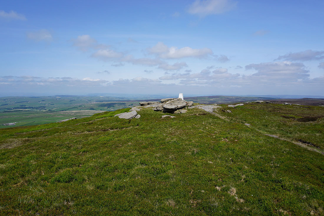
Back to the trig point..
Pendle Hill from the trig point on Boulsworth Hill
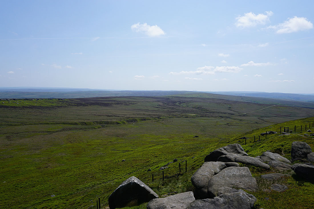
Withins Height and Wadsworth Moor to the southeast
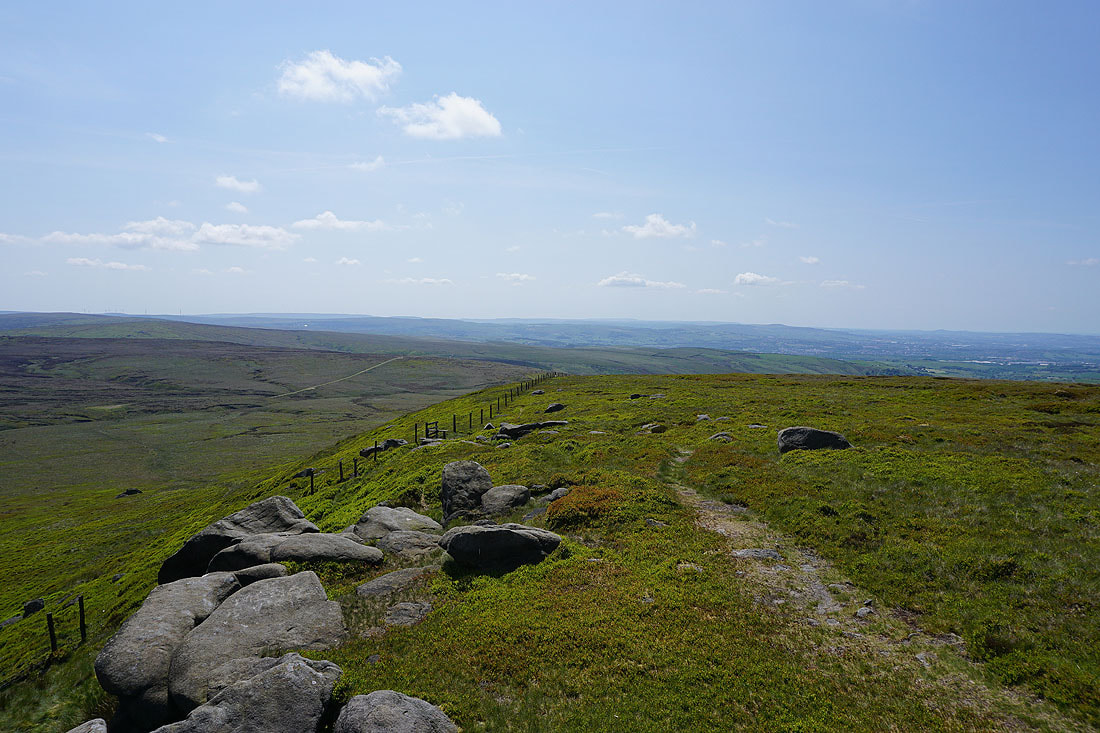
Wolf Stones and Crow Hill to the east
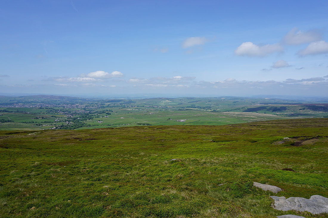
Looking north across the Forest of Trawden to White Moor and Kelbrook Moor
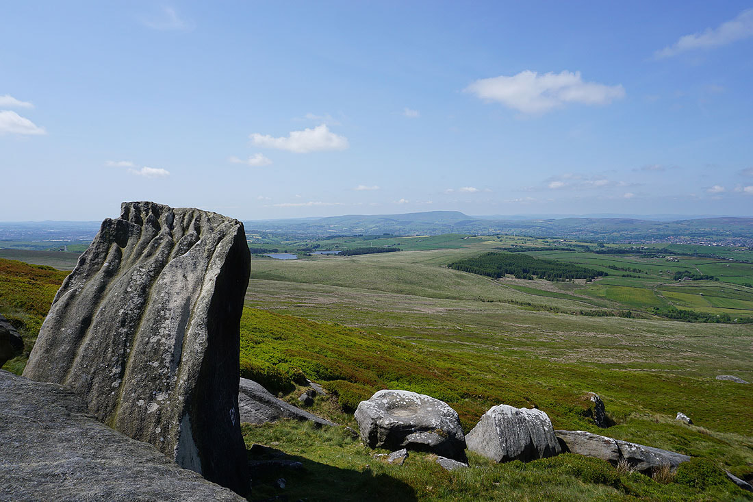
The Coldwell Reservoirs and Pendle Hill from the Abbot Stone as I make my way down
and looking across the Forest of Trawden to the Yorkshire Dales just about visible in the distance..
Looking east as I make it back down to the Pennine Bridleway
Leaving the Pennine Bridleway I take the footpath to Alder Hurst Head
Looking back to Boulsworth Hill
Down to Oaken Bank
Looking back to Oaken Bank and Boulsworth Hill as I walk up the track to Pasture Springs Farm..
Just past Pasture Springs Farm I'll take a footpath on the right down to Trawden
Pendle Hill in the distance to my left..
..as I walk down through fields to Trawden
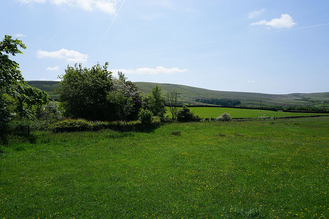
and Boulsworth Hill to my right
Boulsworth Hill in the distance from the footpath down to Trawden Brook from Lane House in Trawden
Heading up to Far Wanless Farm after crossing Trawden Brook
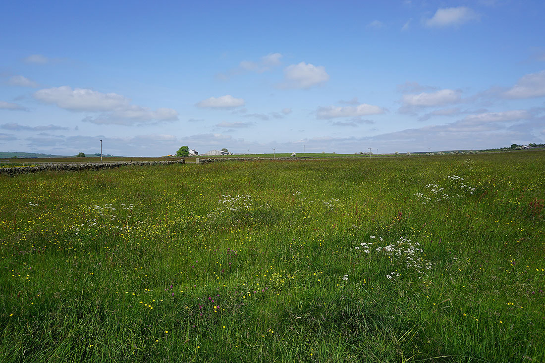
On the footpath to Near Wanless Farm
From Near Wanless Farm I take the track to Higher Stunstead
It's a beautiful afternoon for a walk in the Pendle countryside
Boulsworth Hill in the distance as I head back to Stunstead House
Pendle Hill in the distance above Trawden as I make it back to Keighley Road and Trawden Recreation Ground
