4th March 2015 - Summit Reservoirs
Walk Details
Distance walked: 8.5 miles
Total ascent: 1117 ft
OS map used: OL21 - South Pennines
Time taken: 5 hrs
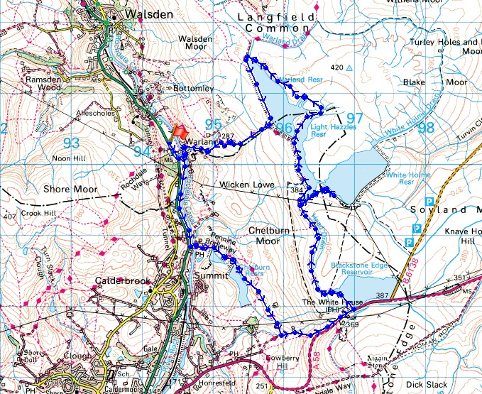
Route description: Warland-Warland Gate End-Rochdale Canal-Summit Lock-Pennine Bridleway-Castle Clough-A58-Blackstone Edge Reservoir-Pennine Way-Warland Reservoir-Warland Gate End-Warland
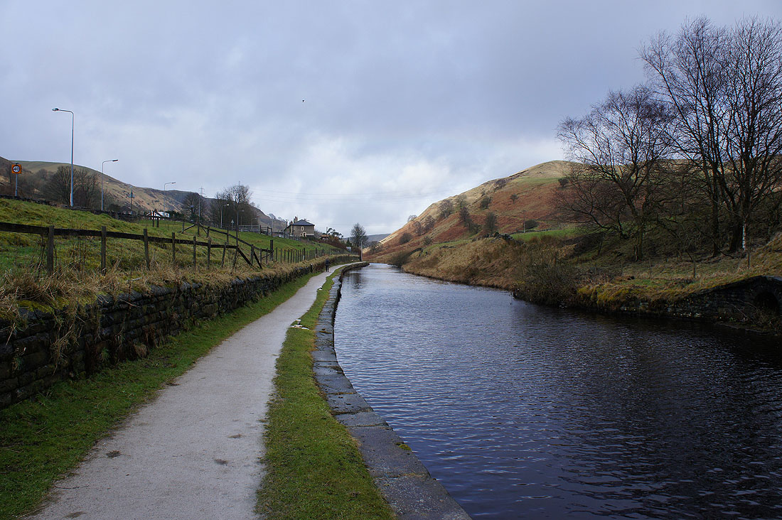
So much for the forecast of a fine day with sunny spells. This was my other walk that was the alternative to Stoodley Pike last Friday. The plan was to visit the moorland reservoirs above Summit as well as seeing the poem "Rain", one of the Stanza Stones that's next to the Pennine Way at Cows Mouth quarry. The skies were pretty overcast when I set off from home and there were a couple of showers on the drive to Warland but it was the persistant rain that set in when I was walking by the Rochdale Canal that starting me thinking about whether to continue with the route I had planned or not. Fortunately it started to brighten up as I was sat near Higher Chelburn Reservoir having my lunch and I decided to carry on. There was some nice sunshine to see "Rain" and the reservoirs.
I started the walk from a layby next to the A6033 at Warland. I then followed the road south to Warland Gate End where I turned left to head for the Rochdale Canal. After walking along the towpath I reached the West Summit Lock. I then crossed the canal to take the Pennine Bridleway uphill past Lower and Higher Chelburn Reservoir to Castle Clough where a path took me up to the A58 and Blackstone Edge Reservoir. I then followed the Pennine Way north past Light Hazzles Reservoir (with a detour to White Holme Reservoir) to Warland Reservoir. I decided to walk round the eastern side of the reservoir under Stony Edge before crossing the dam to follow the bridleway down Cote Clough back to Warland.
Total ascent: 1117 ft
OS map used: OL21 - South Pennines
Time taken: 5 hrs
Route description: Warland-Warland Gate End-Rochdale Canal-Summit Lock-Pennine Bridleway-Castle Clough-A58-Blackstone Edge Reservoir-Pennine Way-Warland Reservoir-Warland Gate End-Warland
So much for the forecast of a fine day with sunny spells. This was my other walk that was the alternative to Stoodley Pike last Friday. The plan was to visit the moorland reservoirs above Summit as well as seeing the poem "Rain", one of the Stanza Stones that's next to the Pennine Way at Cows Mouth quarry. The skies were pretty overcast when I set off from home and there were a couple of showers on the drive to Warland but it was the persistant rain that set in when I was walking by the Rochdale Canal that starting me thinking about whether to continue with the route I had planned or not. Fortunately it started to brighten up as I was sat near Higher Chelburn Reservoir having my lunch and I decided to carry on. There was some nice sunshine to see "Rain" and the reservoirs.
I started the walk from a layby next to the A6033 at Warland. I then followed the road south to Warland Gate End where I turned left to head for the Rochdale Canal. After walking along the towpath I reached the West Summit Lock. I then crossed the canal to take the Pennine Bridleway uphill past Lower and Higher Chelburn Reservoir to Castle Clough where a path took me up to the A58 and Blackstone Edge Reservoir. I then followed the Pennine Way north past Light Hazzles Reservoir (with a detour to White Holme Reservoir) to Warland Reservoir. I decided to walk round the eastern side of the reservoir under Stony Edge before crossing the dam to follow the bridleway down Cote Clough back to Warland.
Route map
© Crown copyright. All rights reserved. License number PU 100034184.
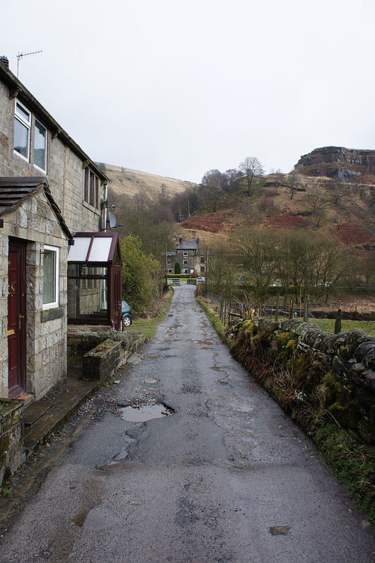
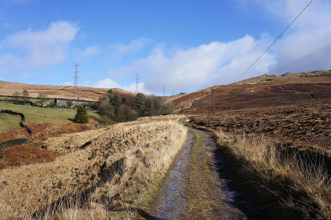
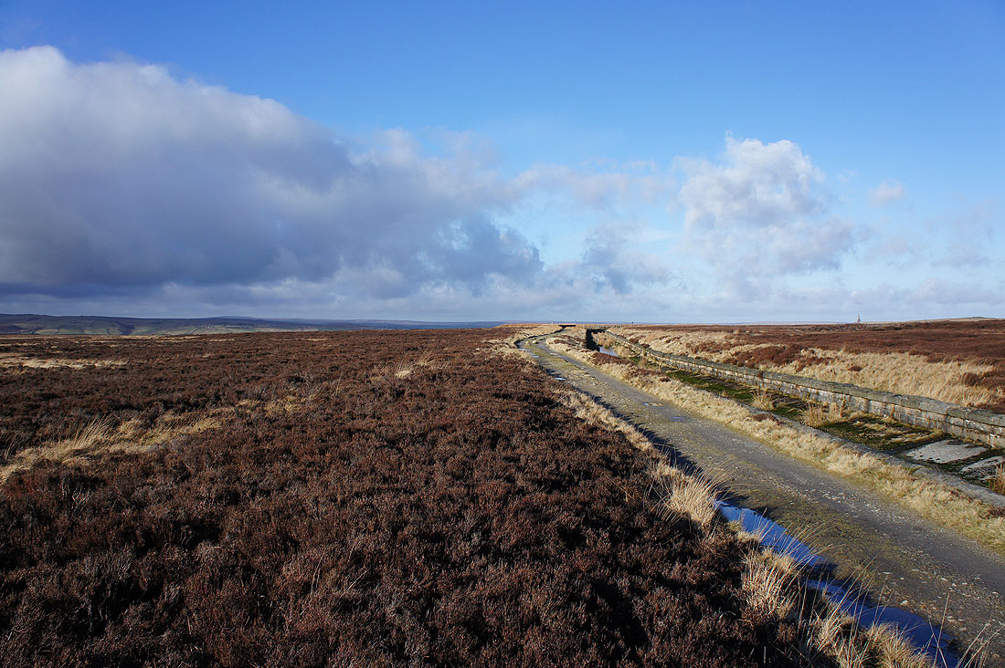
Heading down the track of Warland Gate End to reach the Rochdale Canal
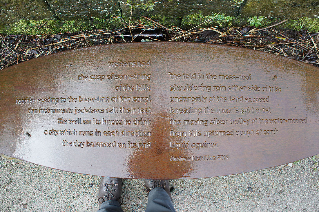
"Watershed". A poem next to the towpath by the Rochdale Canal.
It briefly tries to brighten up as..
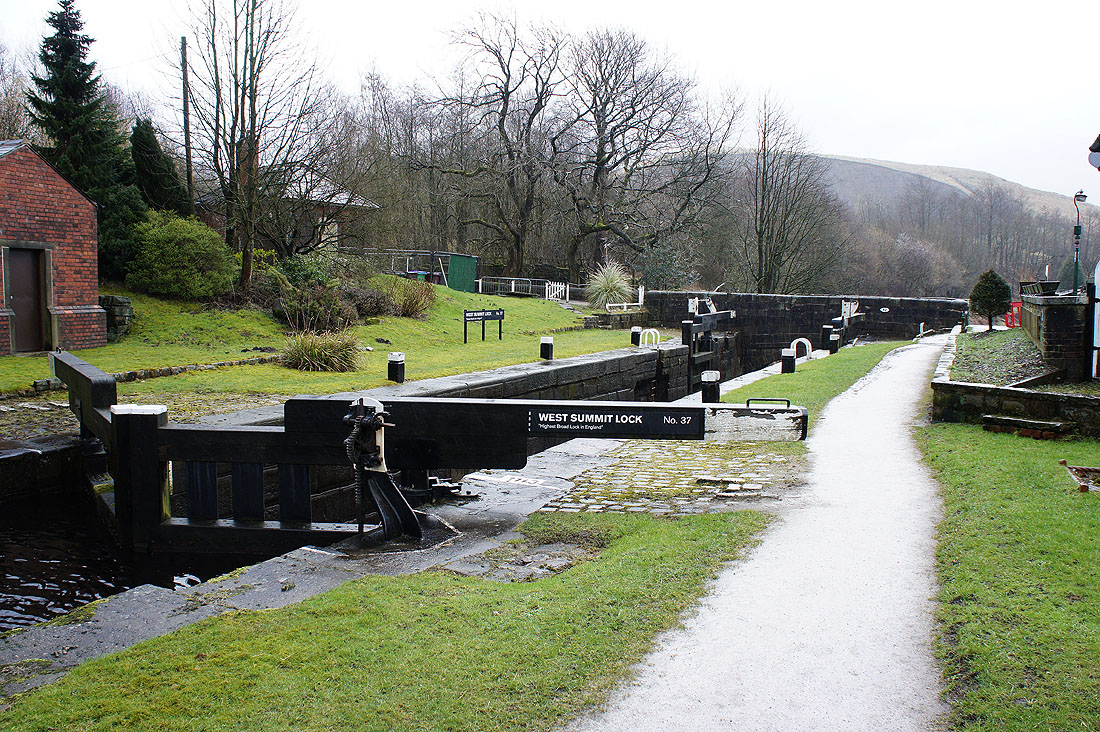
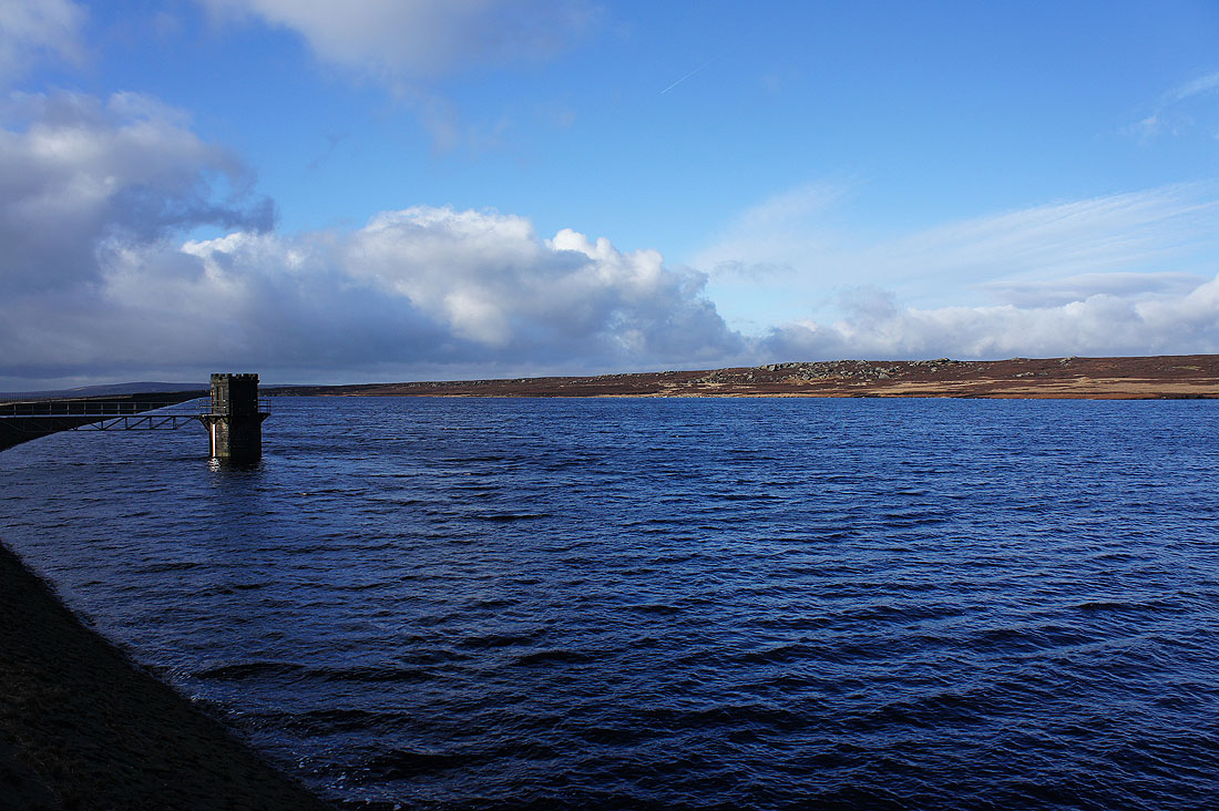
..I reach the West Summit Lock
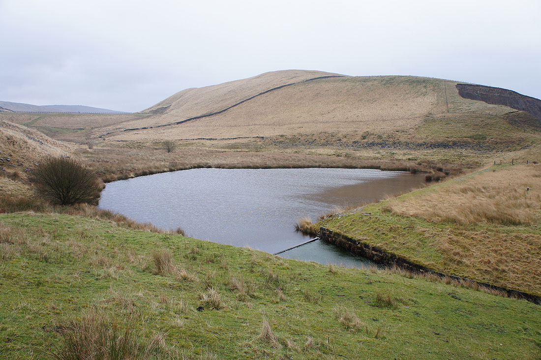
Lower Chelburn Reservoir from the Pennine Bridleway and it's started to rain again
Higher Chelburn Reservoir..
..and it finally looks like the weather is improving
That's better. Blue skies and sunshine as I leave the Pennine Bridleway and head up the path by Castle Clough.
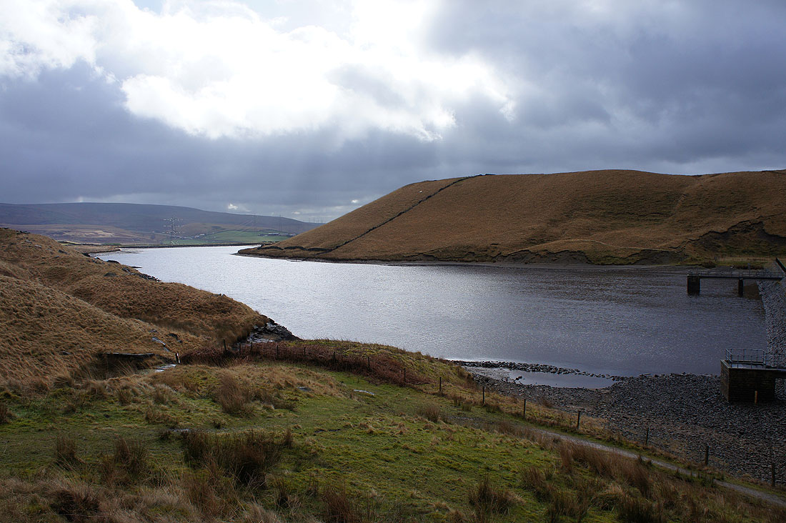
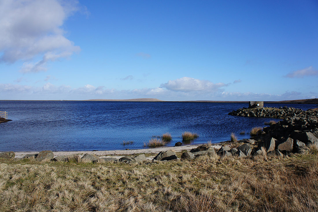
It's clouded over as I reach Blackstone Edge Reservoir and with the strong wind it feels pretty bleak
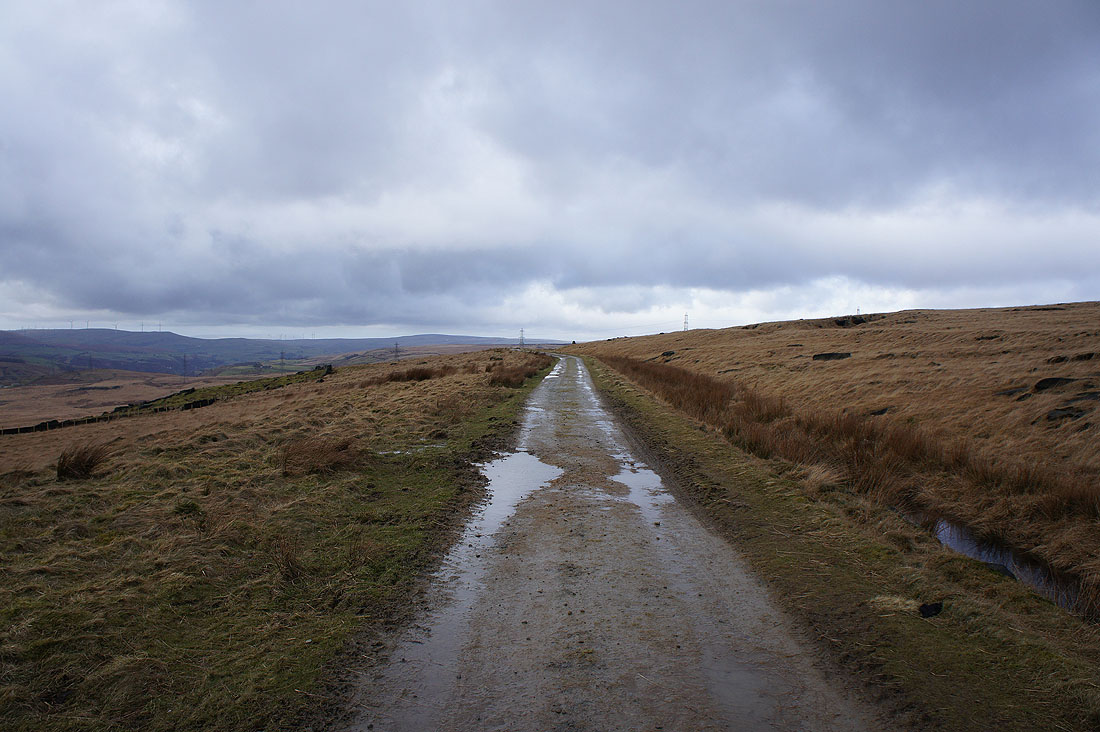
Heading north on the Pennine Way
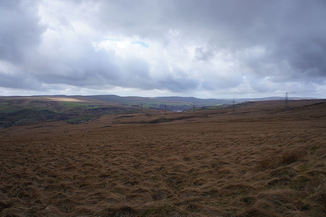
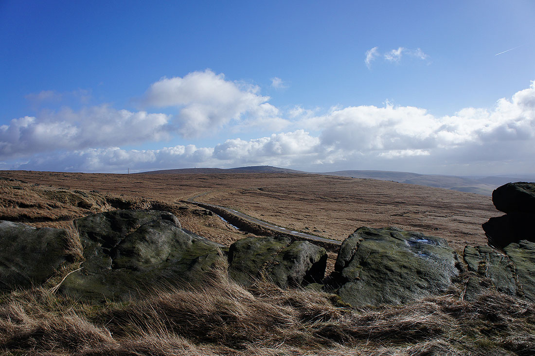
Signs of blue skies as I look across Summit to Freeholds Top
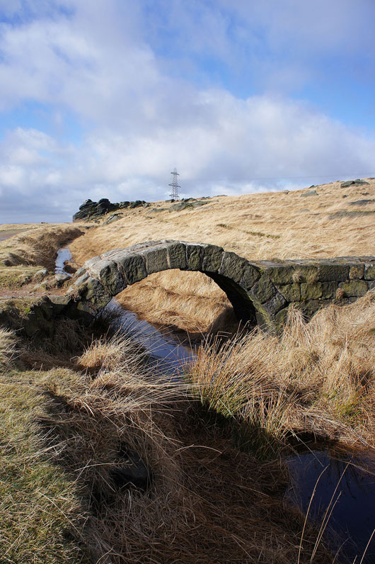
This lovely little stone arch bridge lets me cross the catchwater drain
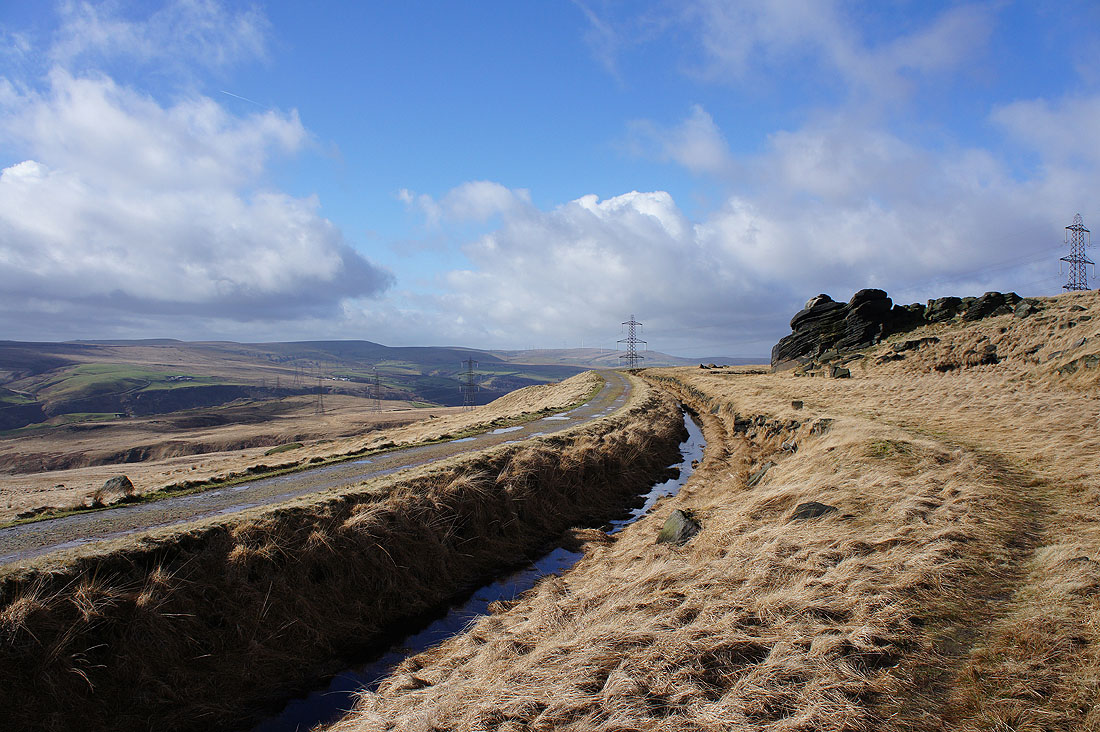
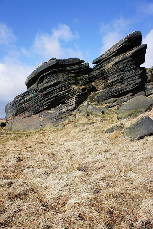
The rocky outcrop that is the site of "Rain" is just ahead
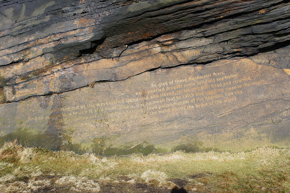
"Rain" by Simon Armitage. One of the Stanza Stones.
A view south to Blackstone Edge from the top of the outcrop
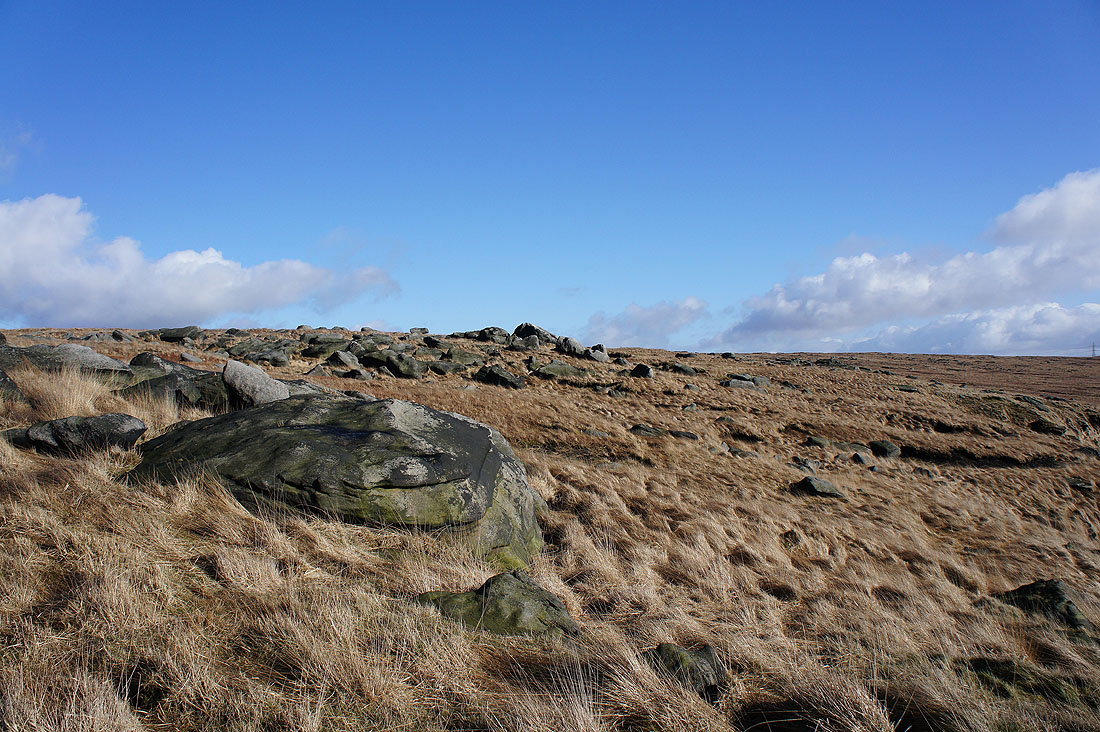
The bleached grass and gritstone boulders look good in the sun
The southern end of Light Hazzles Reservoir as I leave the Pennine Way..
..to have a look at White Holme Reservoir
After following the Pennine Way past Light Hazzles Reservoir I decided to follow a path around Warland Reservoir
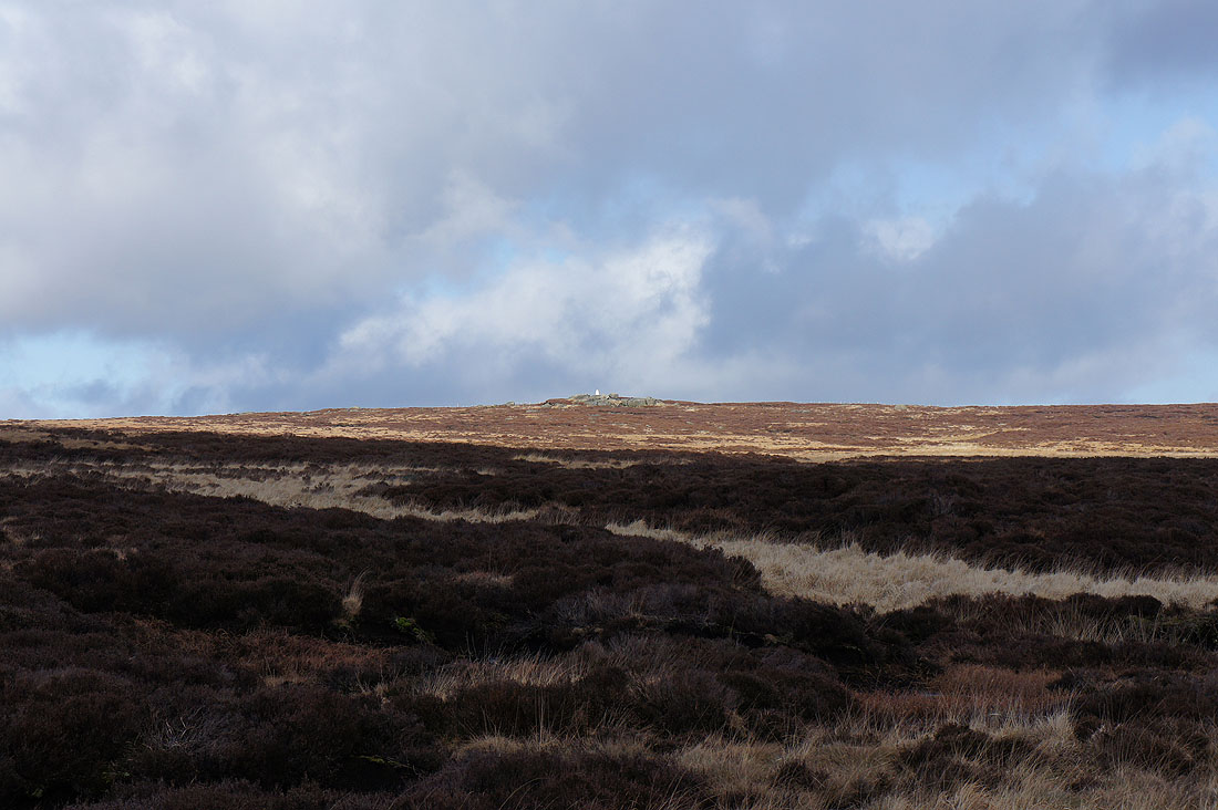
The bright trig point on Little Holder Stones above
The path heads under the boulders of Stony Edge to the northern end of the reservoir
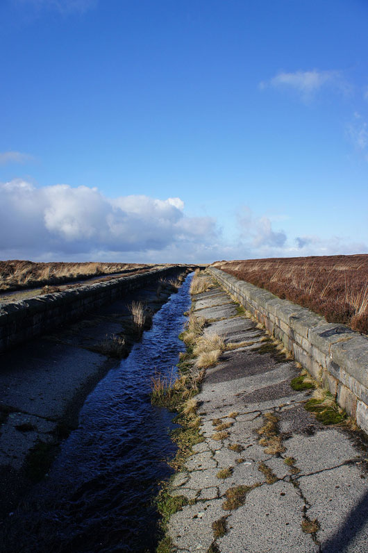
Crossing Warland Drain
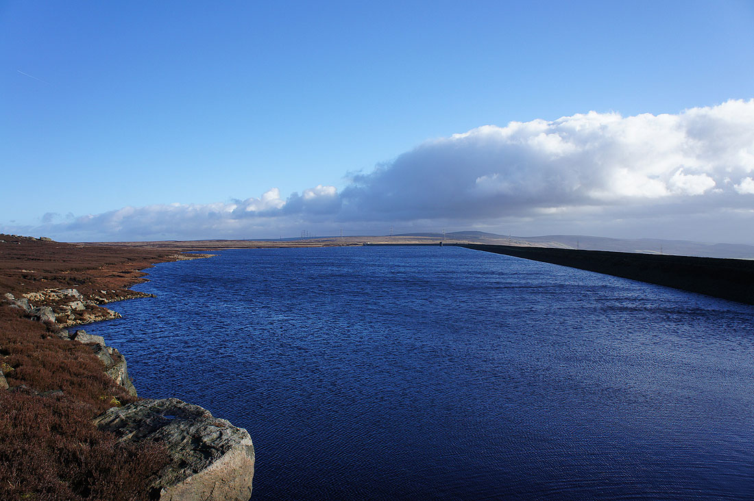
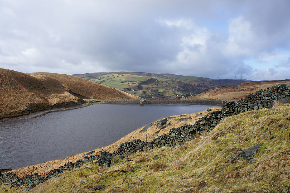
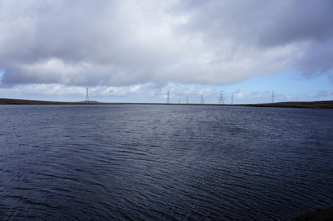
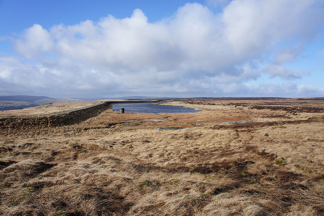
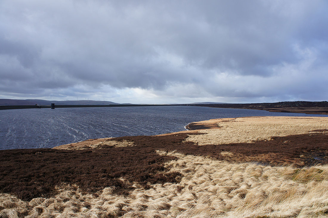
Warland Reservoir from its northern end
There's a brief chance for a view over Calderdale including the Stoodley Pike monument on the right
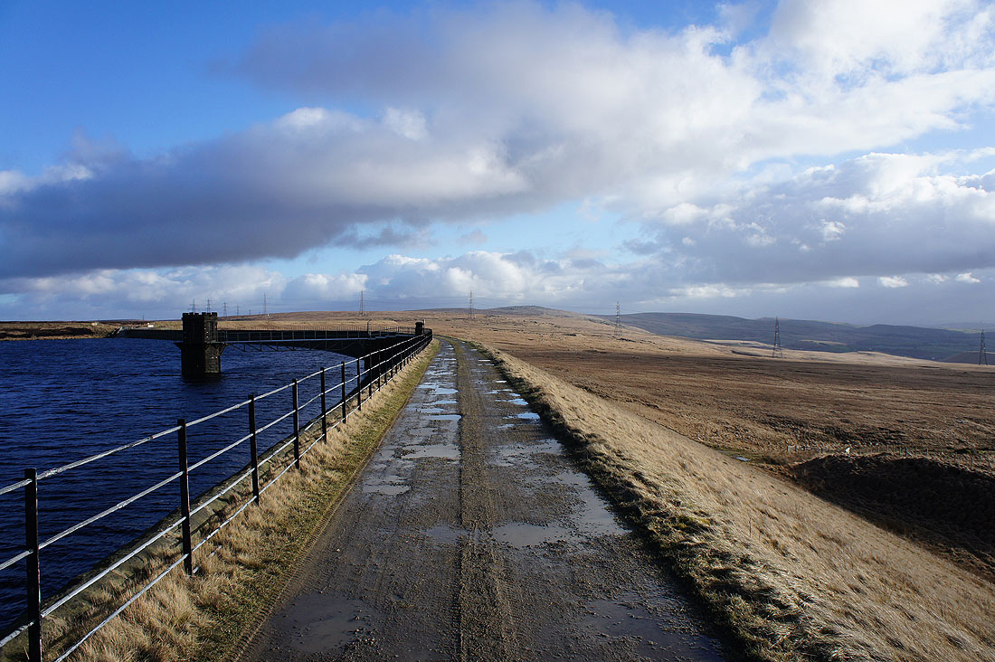
Heading along the dam
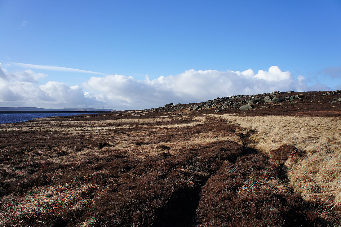
Warland Reservoir and Stony Edge
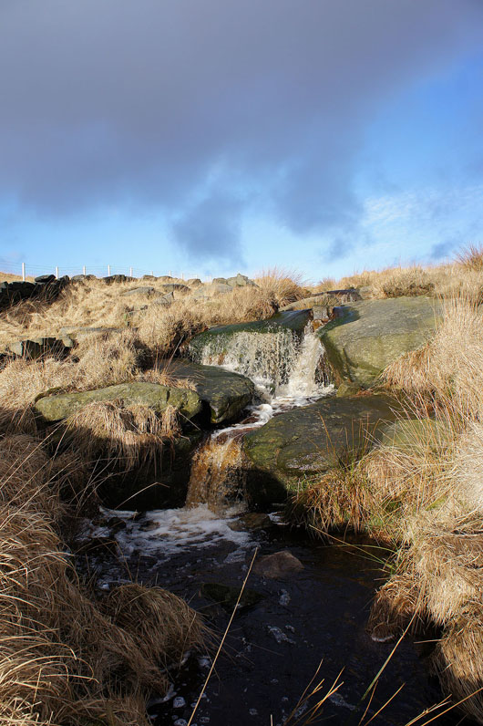
Some nice little cascades as I follow the bridleway down Cote Clough
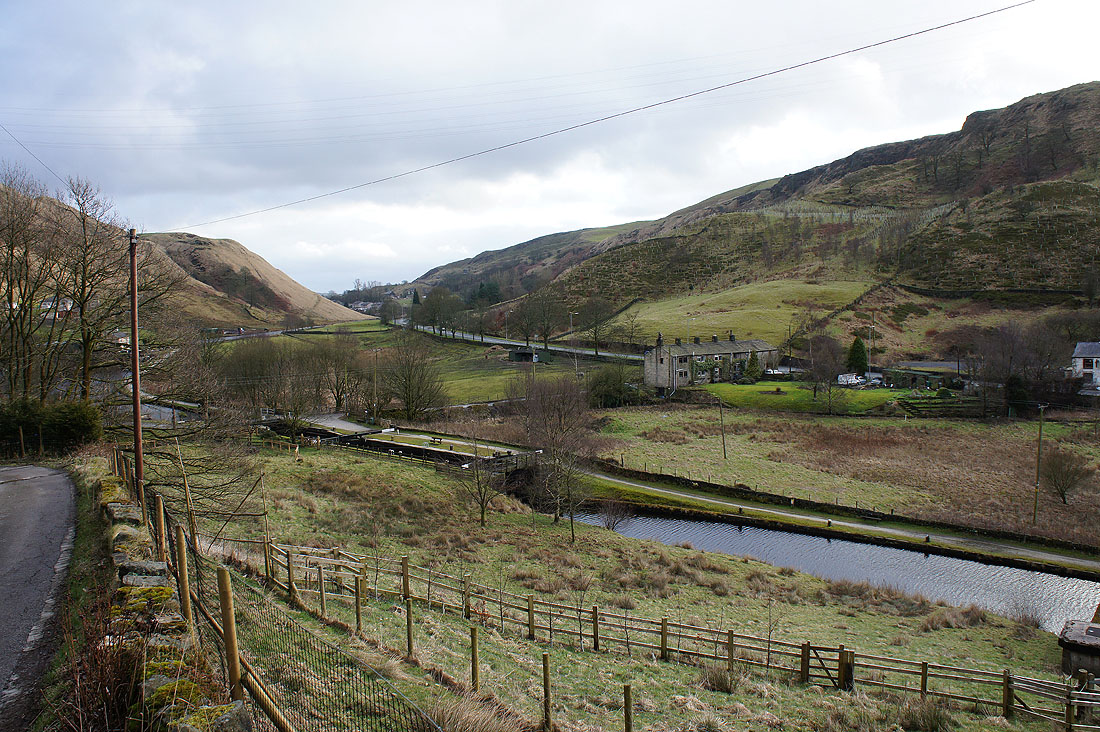
The canal is back in sight as I reach the bottom of Warland Gate End