4th March 2017 - Simon's Seat
Walk Details
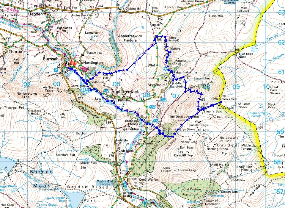
Distance walked: 9.6 miles
Total ascent: 1967 ft
OS map used: OL2 - Yorkshire Dales, Southern & Western areas
Time taken: 7 hrs
Route description: Burnsall-Dales Way-Howgill-Simon's Seat-Dalehead Farm-High Skyreholme-Trollers Gill-New Road-Appletreewick Pasture-Kail Lane-Dales Way-Burnsall
After no walk again last weekend because of poor weather it felt really good to get out today on what felt like the first day of spring. The sunshine in the afternoon had some warmth to it and with lighter winds I could roll up the sleeves of my fleece and appreciate it. This has to be one of my favourite walks in Wharfedale. There's a great combination of riverside scenery from the Dales Way and then there are the views to be had from Simon's Seat. Unfortunately I couldn't partake of my usual pre or post walk snack from the kiosk in the car park. It was closed all day (with the car park barriers up) and after a little research I discovered that the site had been put up for sale last year, so I don't know when or if it will be opening again.
From the car park in Burnsall I crossed Burnsall Bridge to then follow the Dales Way downstream by the Wharfe to the hamlet of Howgill. Once through Howgill and across Howgill Lane I followed the track up through the conifers and then the path to the summit of Simon's Seat. A there and back to the neighbouring outcrop of Lord's Seat (a break for lunch was taken here) was done before making my way down the northern slopes of the fell to Dalehead Farm. I then crossed fields and Blands Beck to reach High Skyreholme and after a short walk down the road I took the lane to Parcevall Hall. The path by Skyreholme Beck took me to Trollers Gill. Unfortunately with the beck in spate I had to take the alternative path to Trollers Gill to reach New Road. A short walk west along New Road brought me to the bridleway across Appletreewick Pasture, then the track of Kail Lane took me back to the Dales Way and Burnsall.
Route map
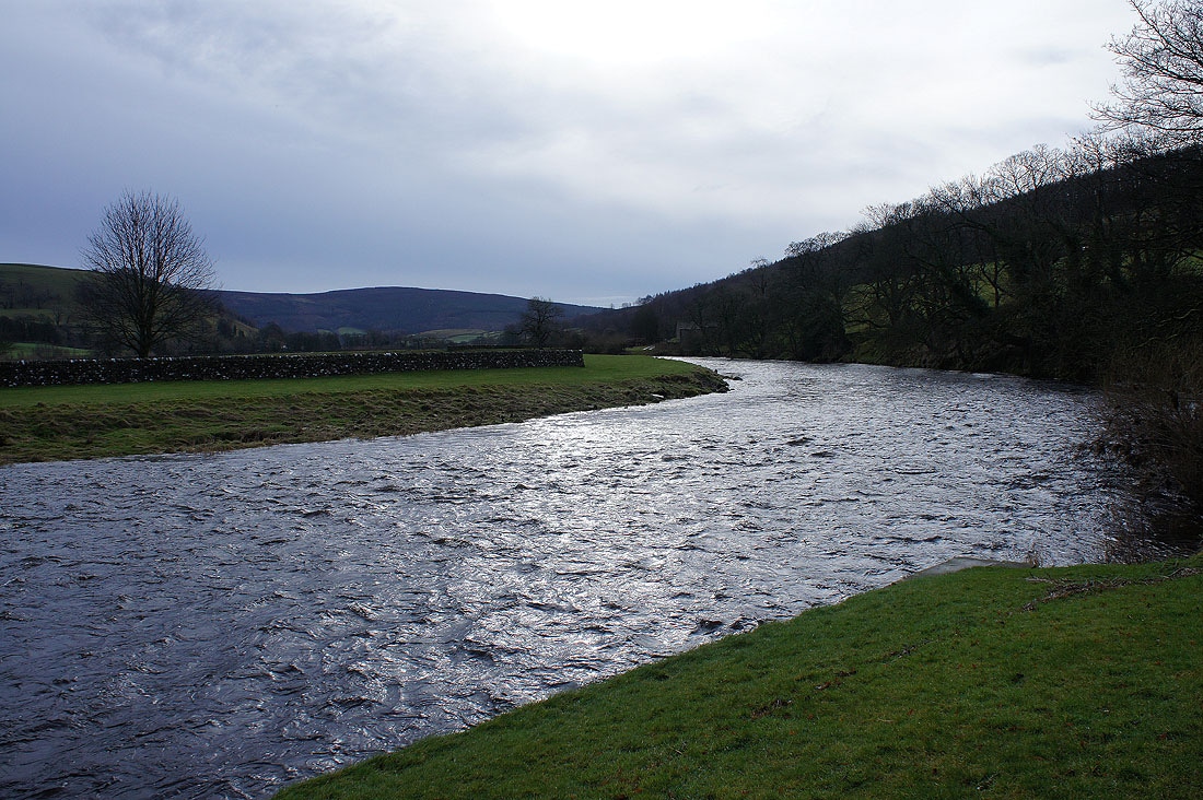
The River Wharfe from the car park in Burnsall
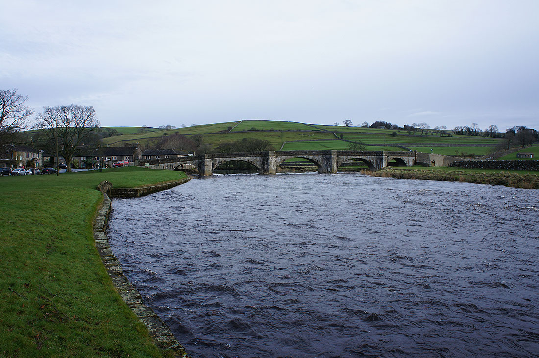
and Burnsall Bridge
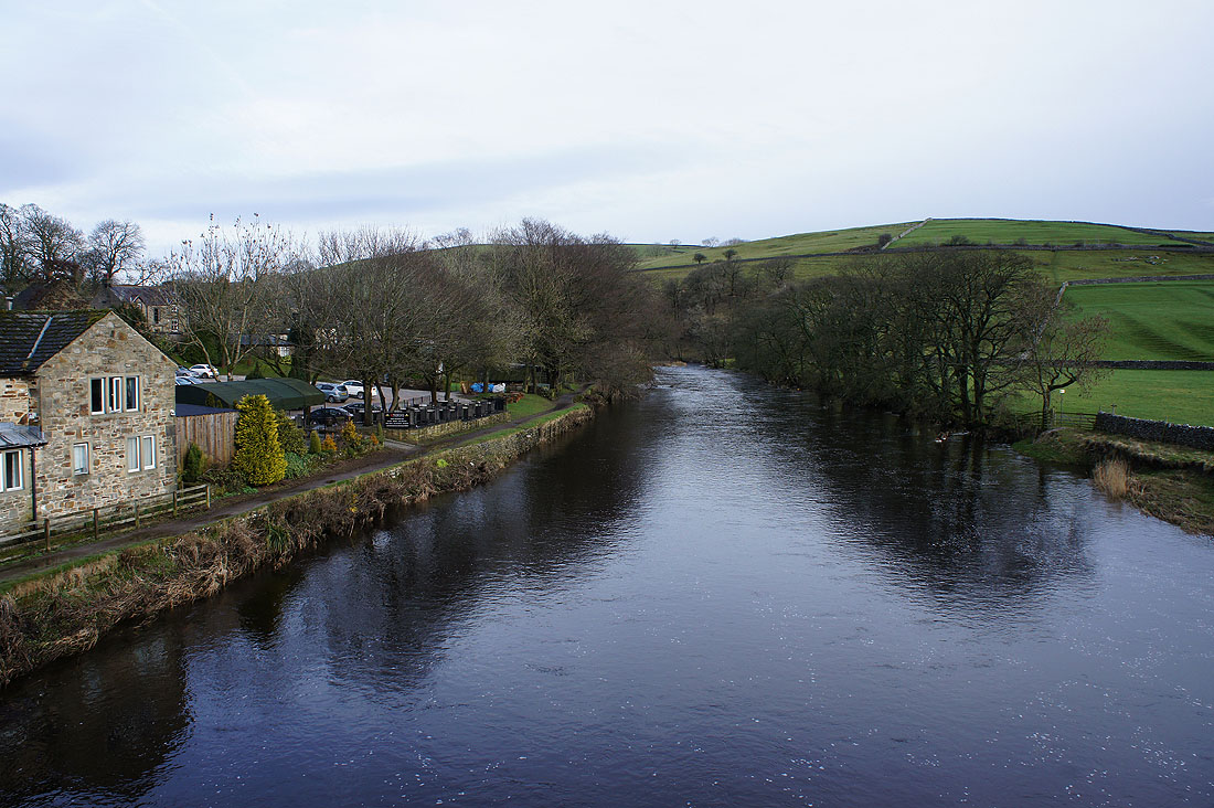
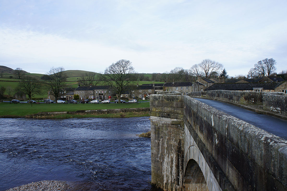
The Wharfe from Burnsall Bridge
and looking back to Burnsall as I cross it
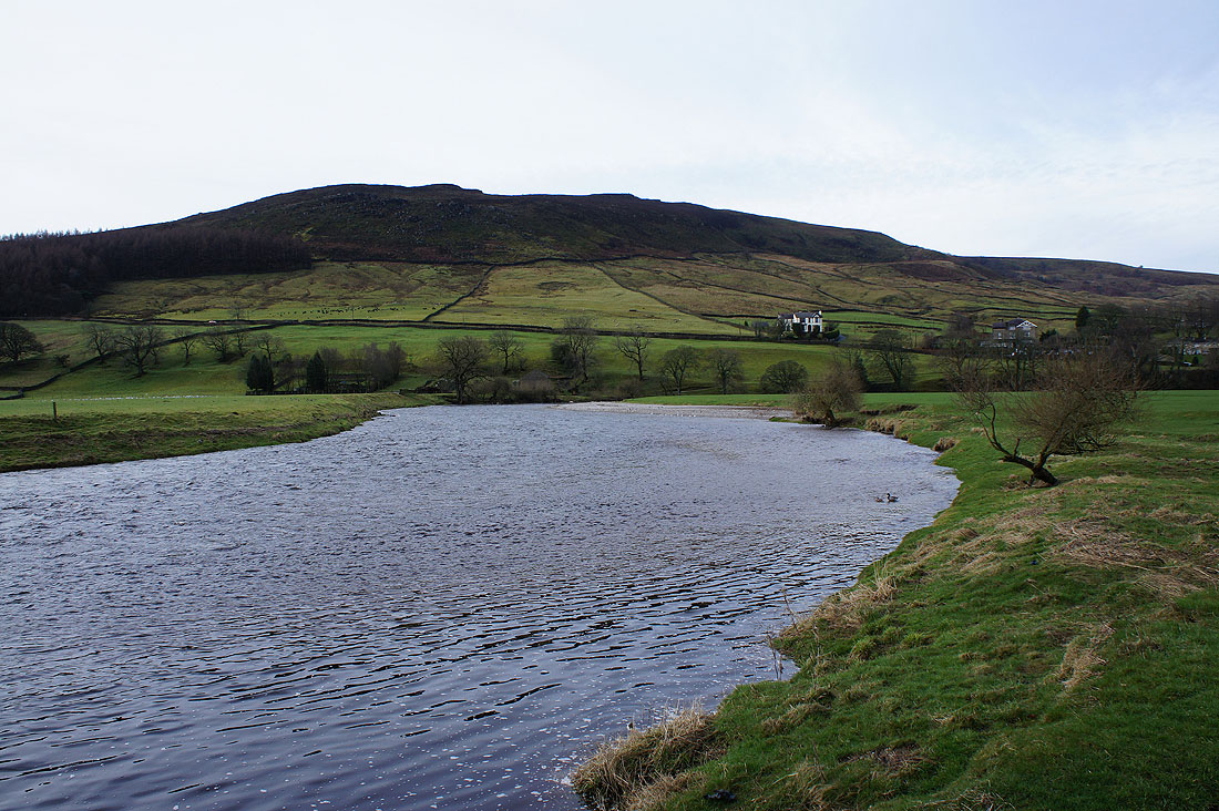
Numberstones End, the part of Barden Moor above Burnsall
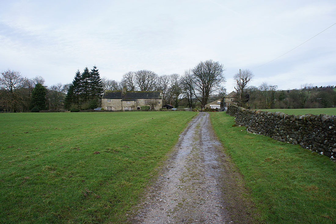
Looking back as I pass Woodhouse Farm
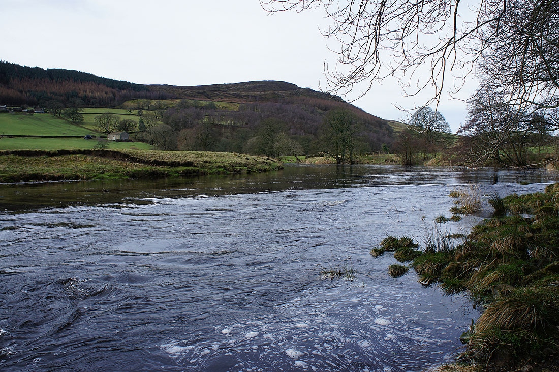
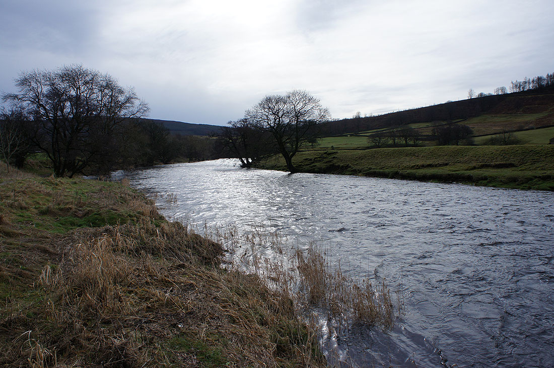
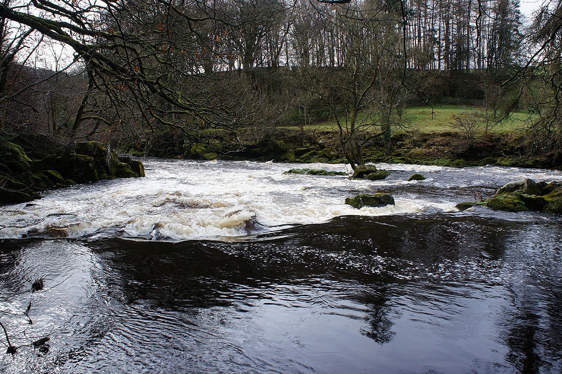
Riverside scenery as I follow the Wharfe downstream..
The village of Appletreewick
Simon's Seat now appears ahead
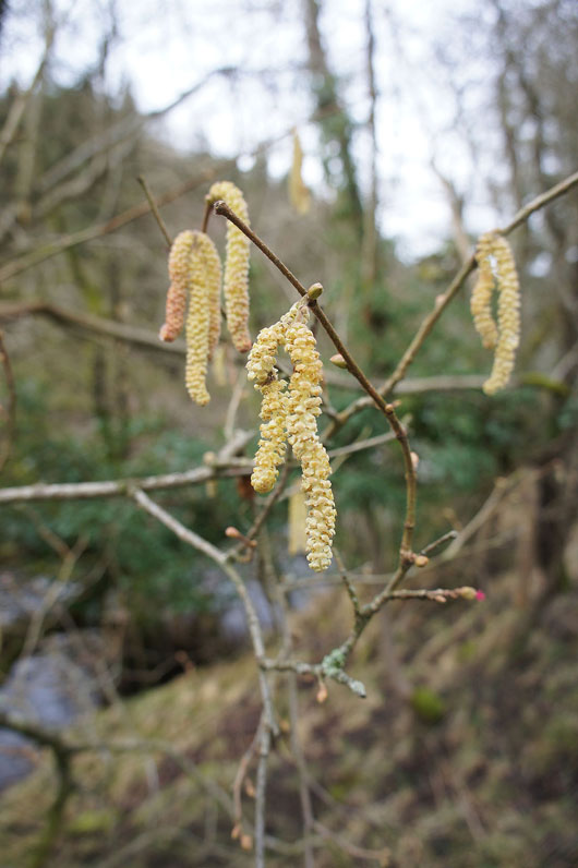
Signs of spring at last
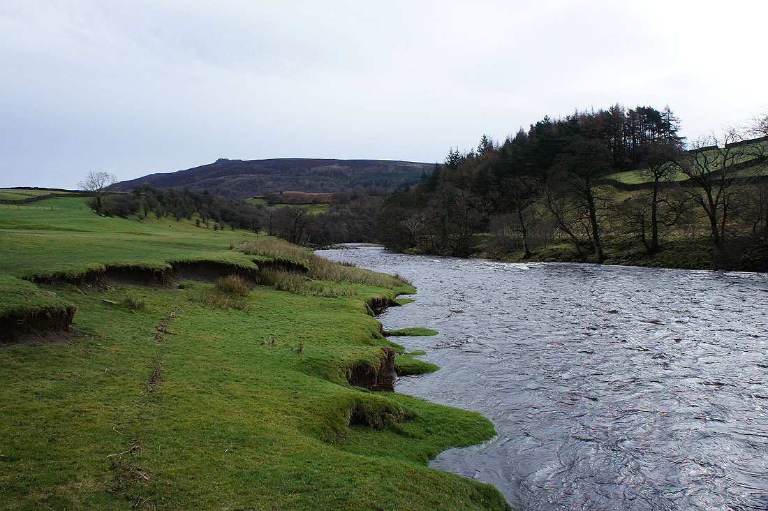
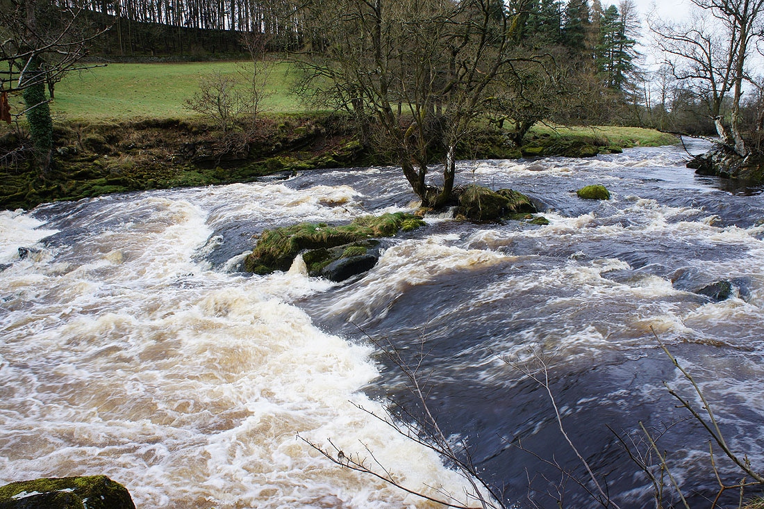
The river becomes more turbulent as I walk through the woodland on the approach to Howgill..
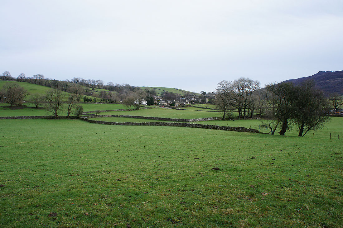
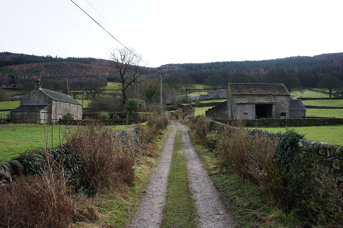
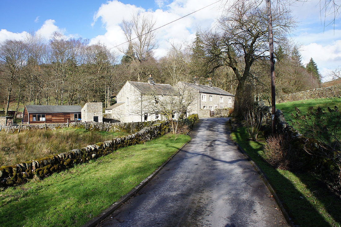
Walking through the hamlet of Howgill to Howgill Lane
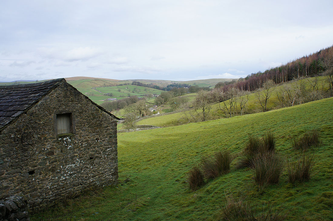
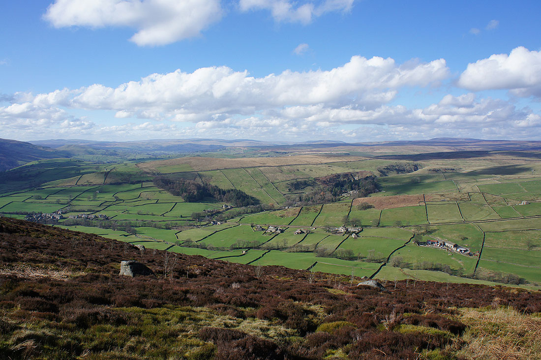
As I start up the path to Simon's Seat I get a view up the valley of Fir Beck to Skyreholme
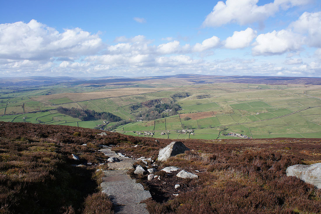
and down into Wharfedale
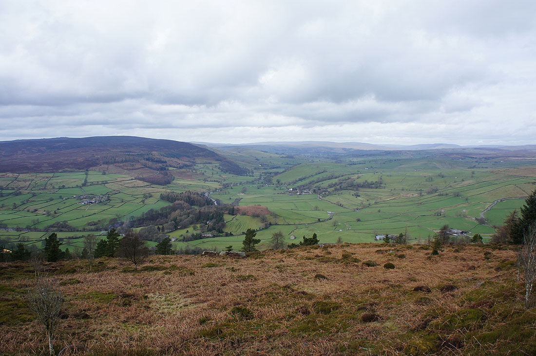
The view of which improves as I gain height
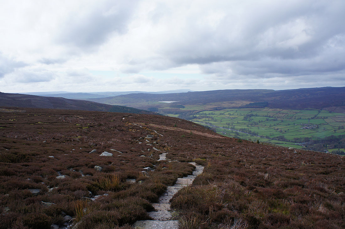
Looking back on the final approach to the summit to see Lower Barden Reservoir on Barden Moor with Pendle Hill in the distance behind
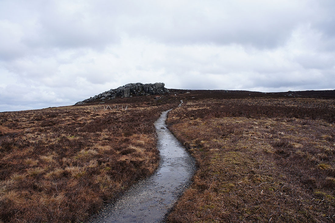
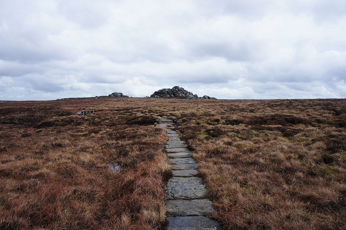
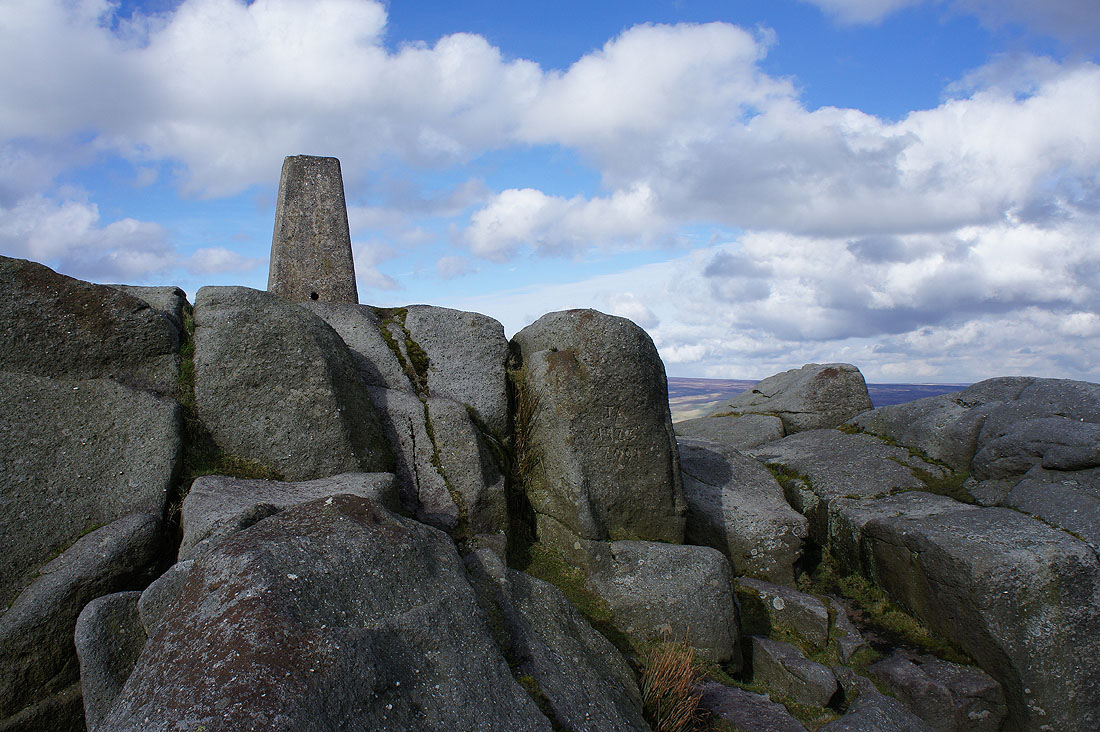
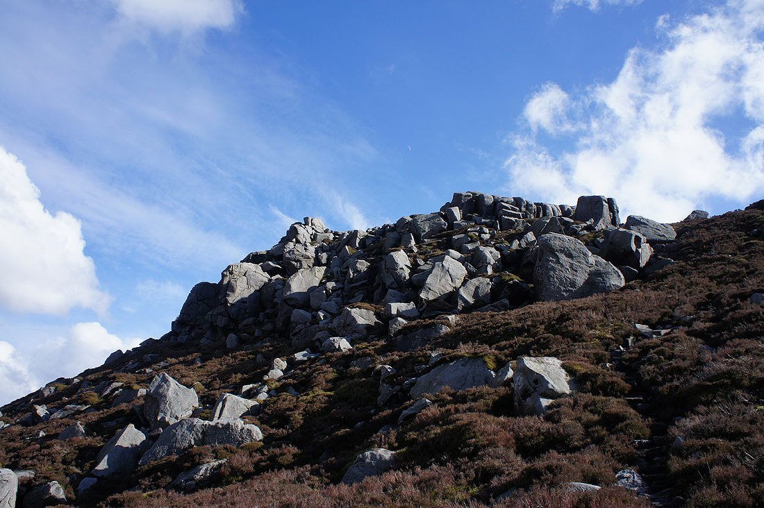
The summit rocks of Simon's Seat are now in sight
Straight past them though and on to Lord's Seat. I had my lunch sat on the outcrops on the left.
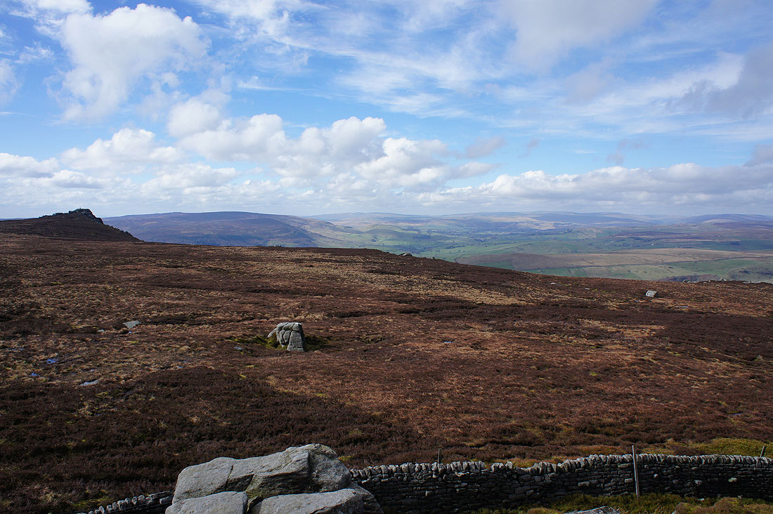
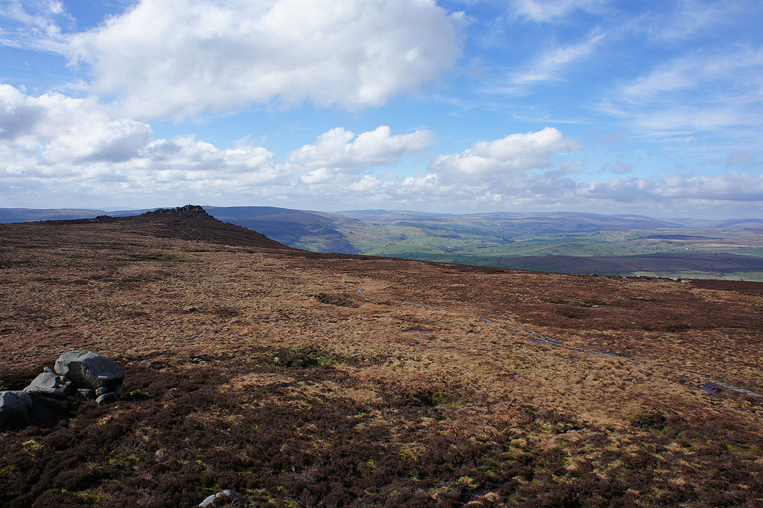
As I was sat having my lunch the sun decided to come out and it became a really nice spring afternoon. It made this view across Wharfedale look even better.
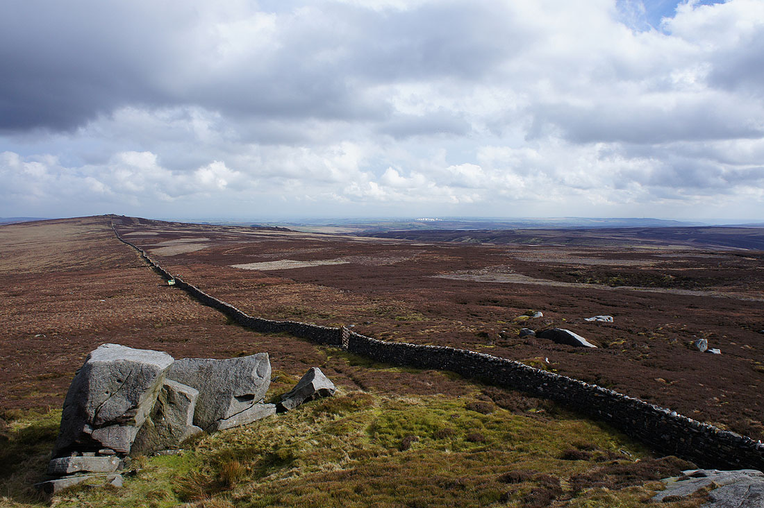
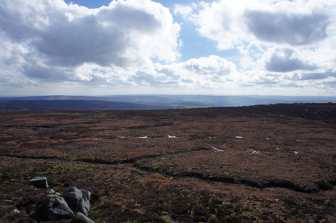
Pockstones Moor to the east, along with the radomes at Menwith Hill in the distance
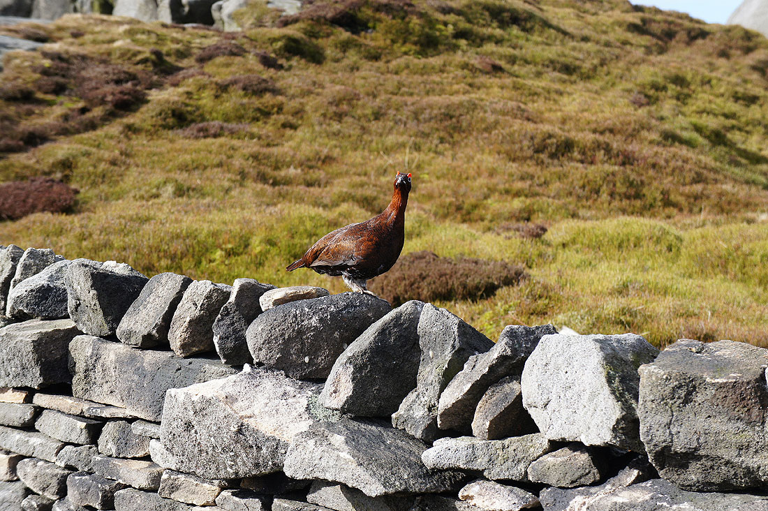
Hello there Mr. Grouse
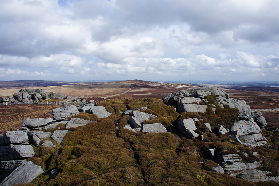
Simon's Seat and Wharfedale from the larger outcrops of boulders at Lord's Seat
Looking south to Beamsley Beacon and Ilkley Moor
and east to Great Pock Stones
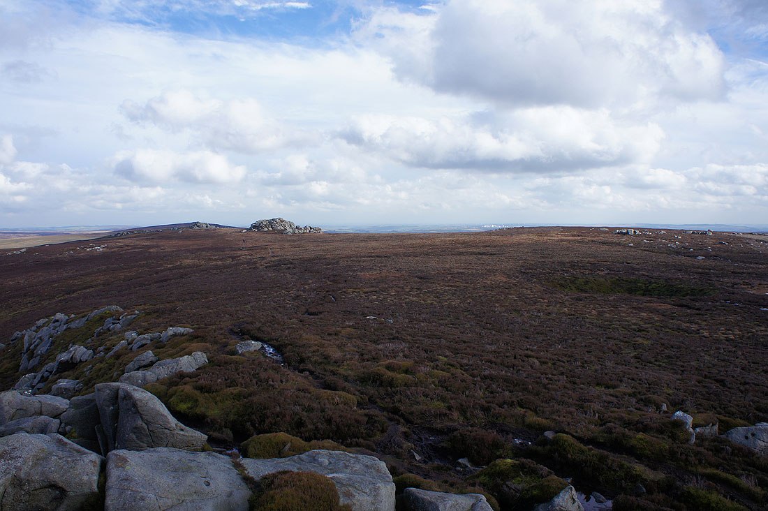
Looking back to Lord's Seat as I return to Simon's Seat
There's a little bit of a scramble to reach the trig point perched atop the rocks
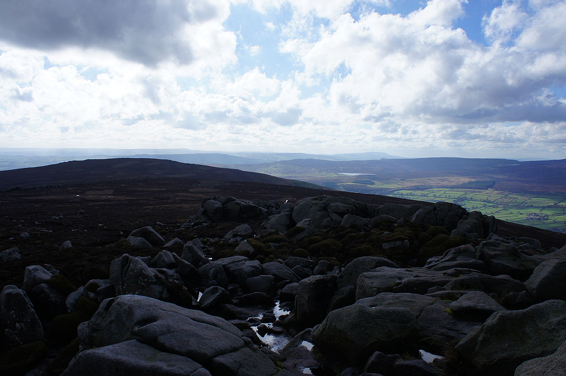
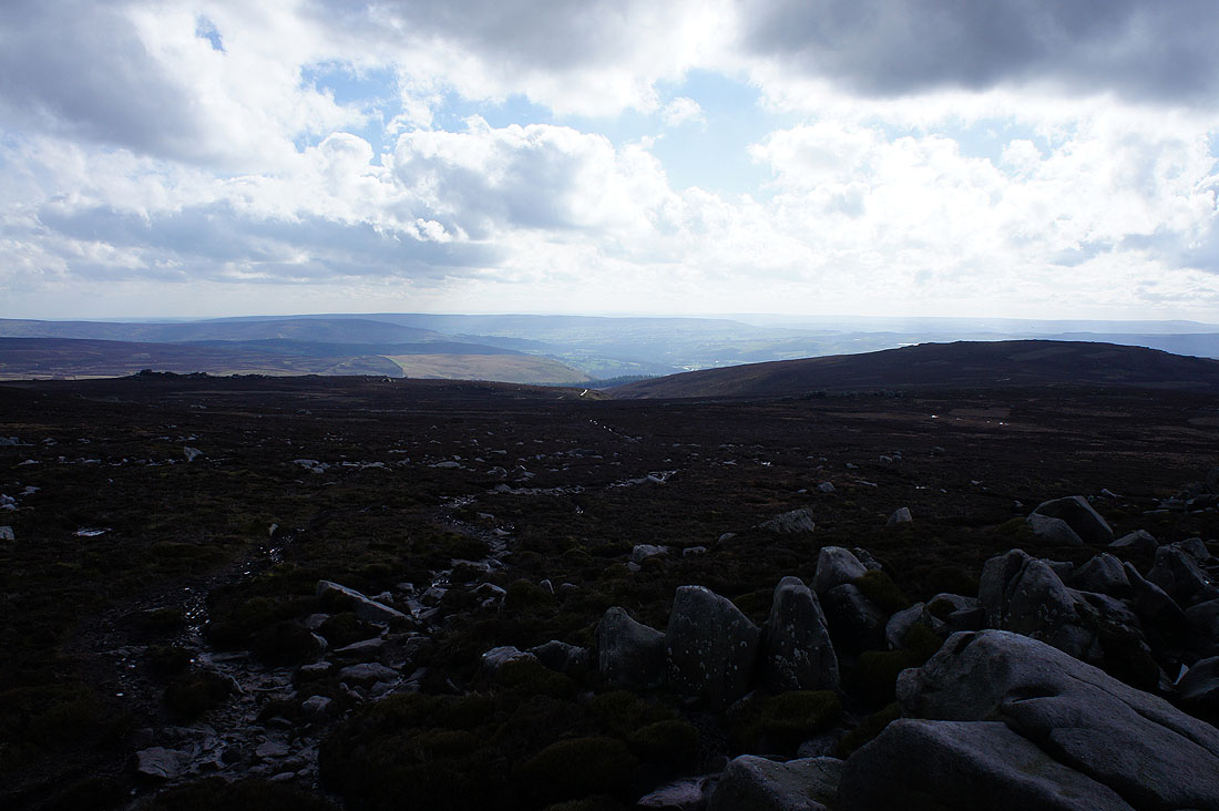
It's worth it for the view. South Pennines moors and Pendle Hill way in the distance beyond the nearby Carncliff Top and Barden Moor.
Ilkley Moor to the south
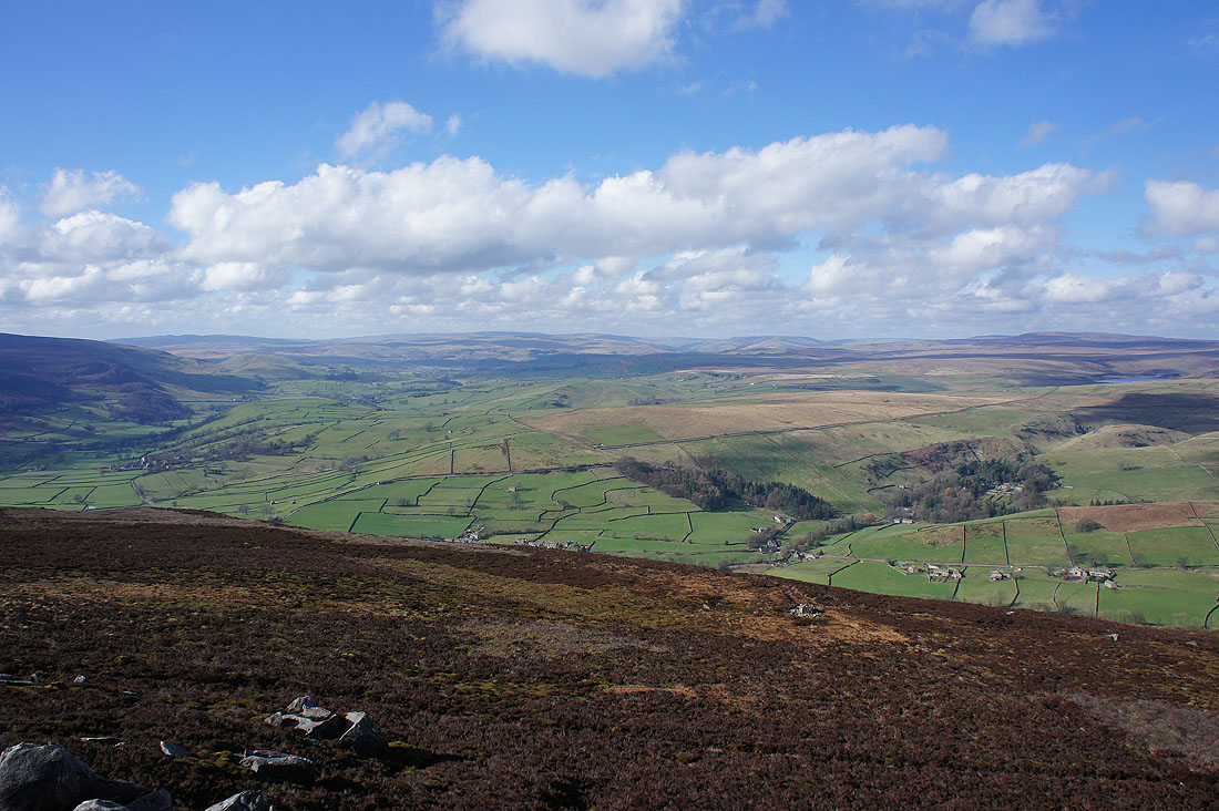
Pride of place goes to the view to the northwest up Wharfedale. Fells such as Fountains Fell, Darnbrook Fell and Great Whernside make up the distant skyline.
Blue skies above the summit rocks as I start to head down
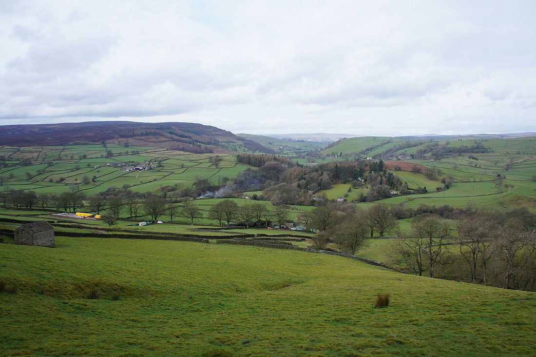
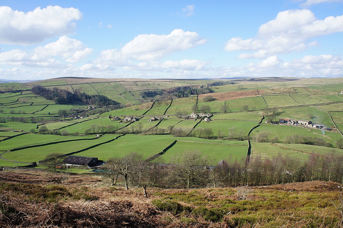
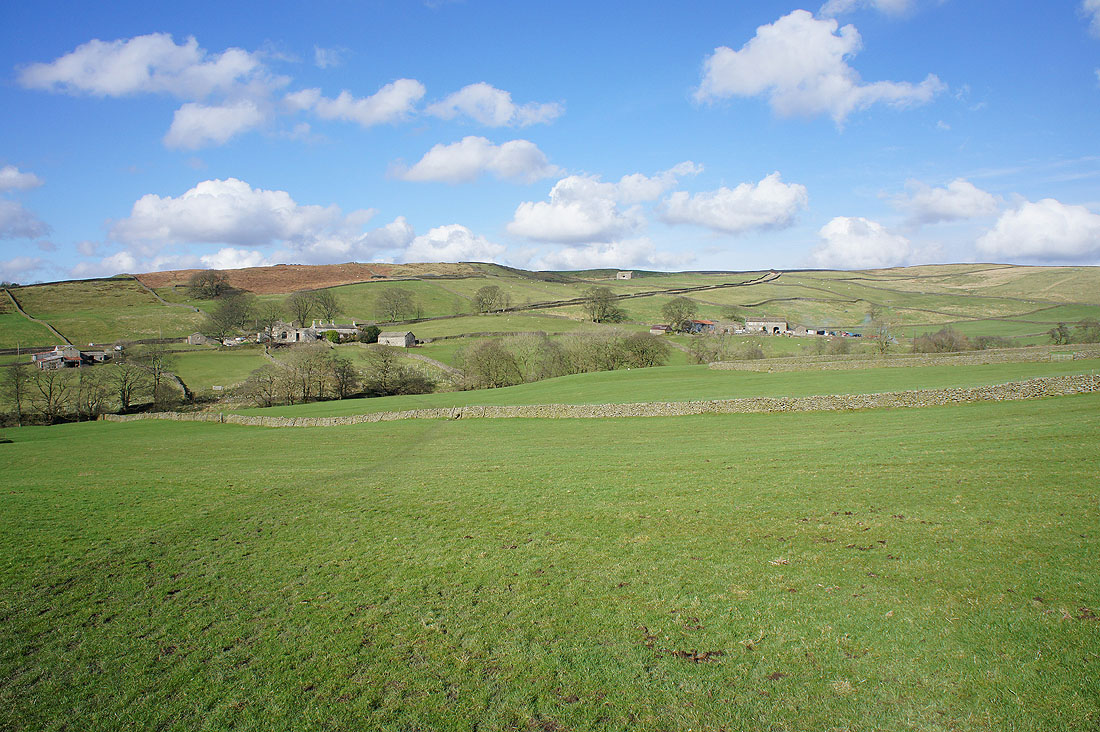
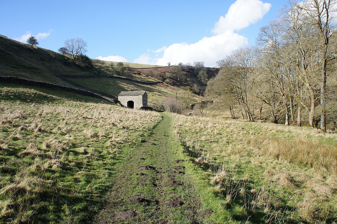
I have a great view ahead of me of the moors above Skyreholme and the valley that leads up to Trollers Gill...
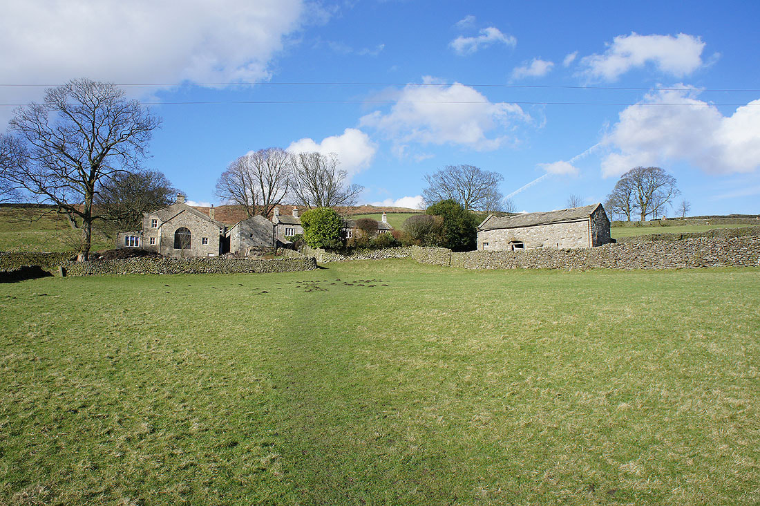
Crossing fields to High Skyreholme..
Then it's down the road to Middle Skyreholme..
..and along the lane to Parcevall Hall. It's gardens won't be open to the public until the 1st April.
On the path by Skyreholme Beck to Trollers Gill..
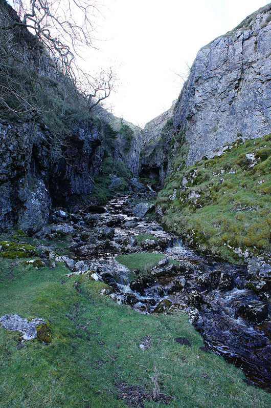
At the entrance to Trollers Gill and I won't be going this way today. I've been here a few times now and this is the first occasion that I've found the beck above ground in the ravine. I don't fancy trying to clamber over all that wet and greasy limestone so I'll take the alternative route.
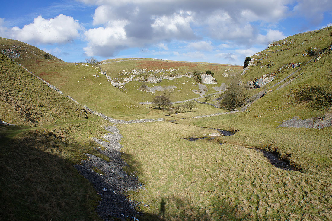
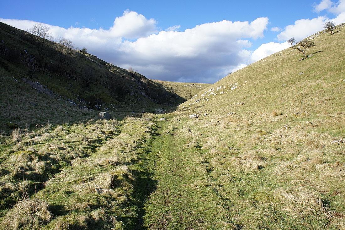
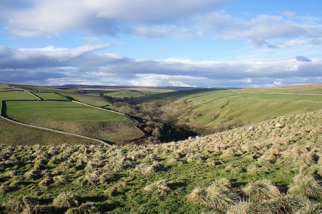
and this is it. It reminded me a lot of one of the limestone dales of the White Peak in the Peak District.
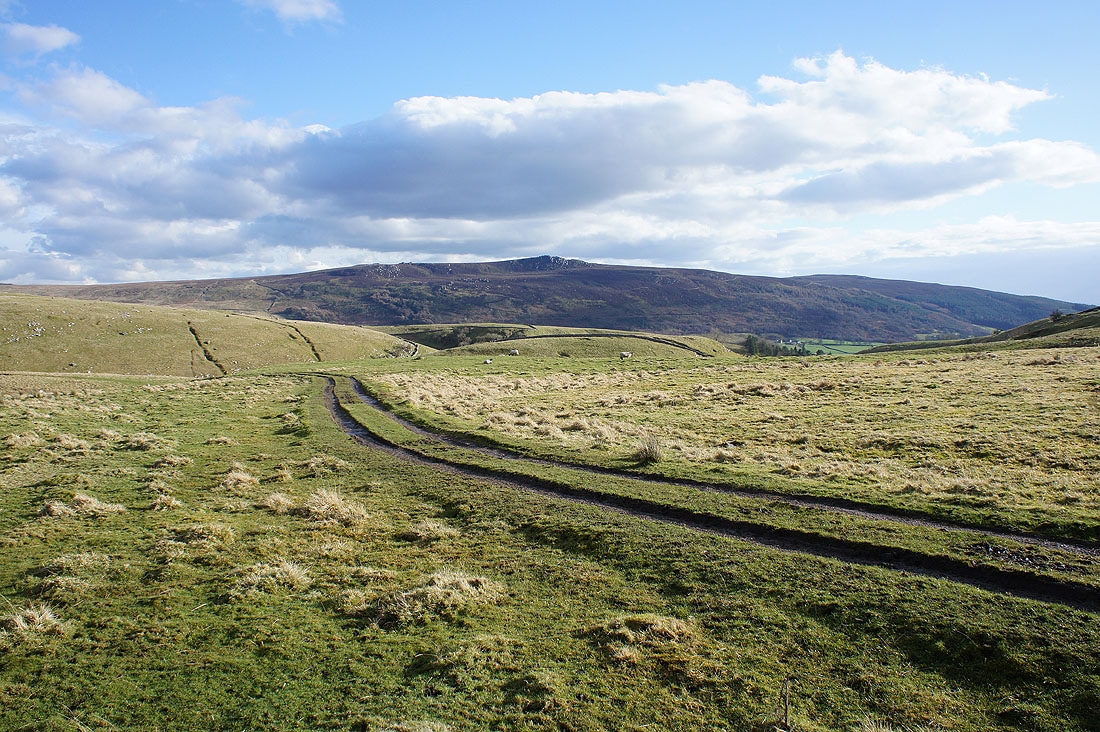
Simon's Seat as I leave the valley
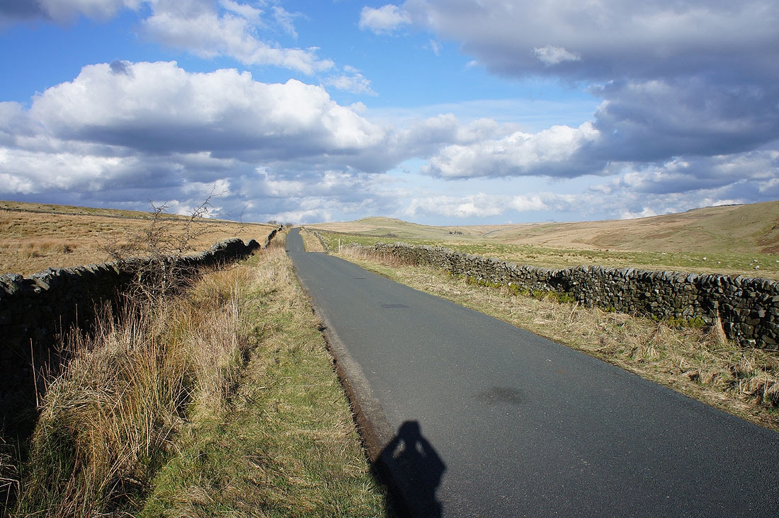
Looking back to see the limestone hill of Nursery Knot in the distance from New Road
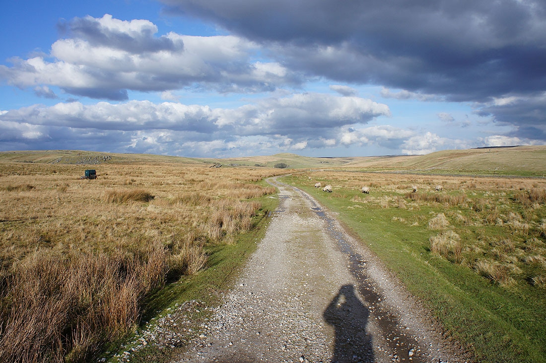
and from the bridleway across Appletreewick Pasture
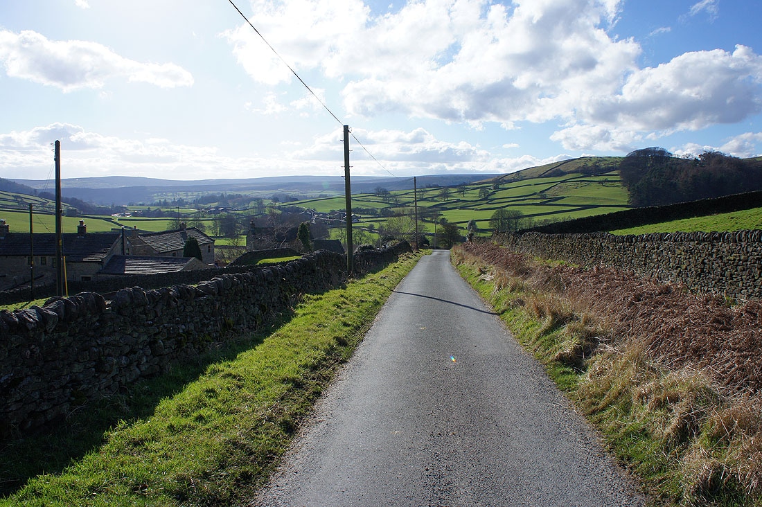
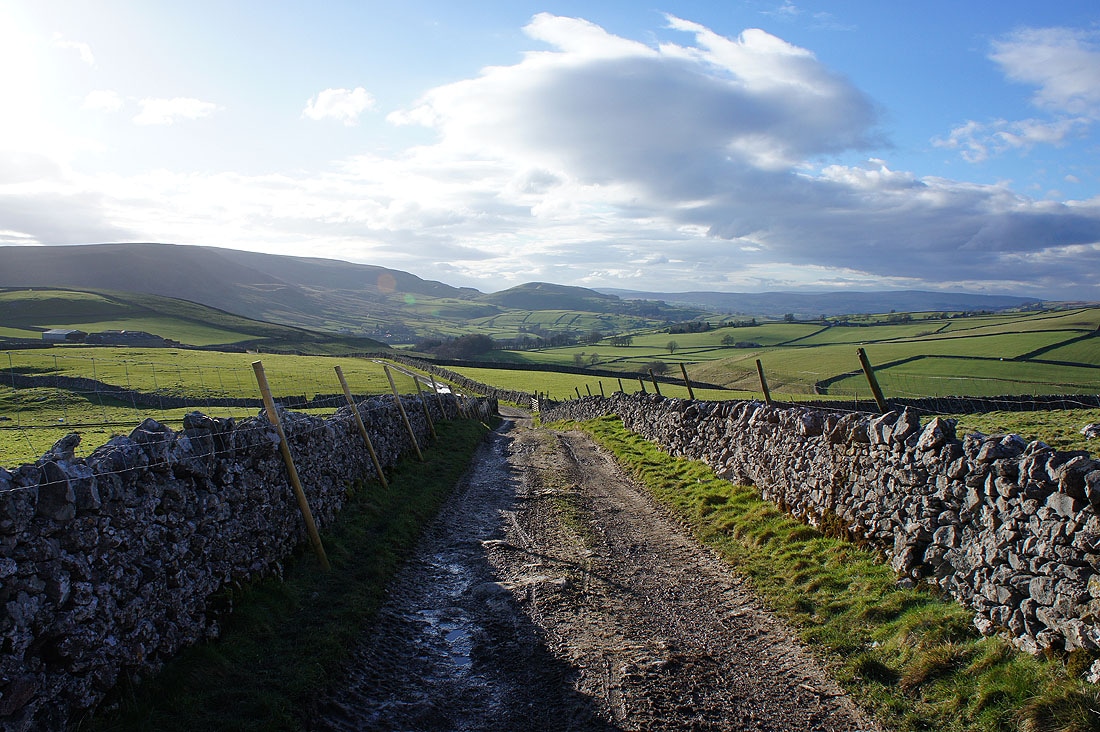
It's a lovely second half of the afternoon as I follow the bridleway of Kail Lane back towards Burnsall
The valley of Barben Beck to my right
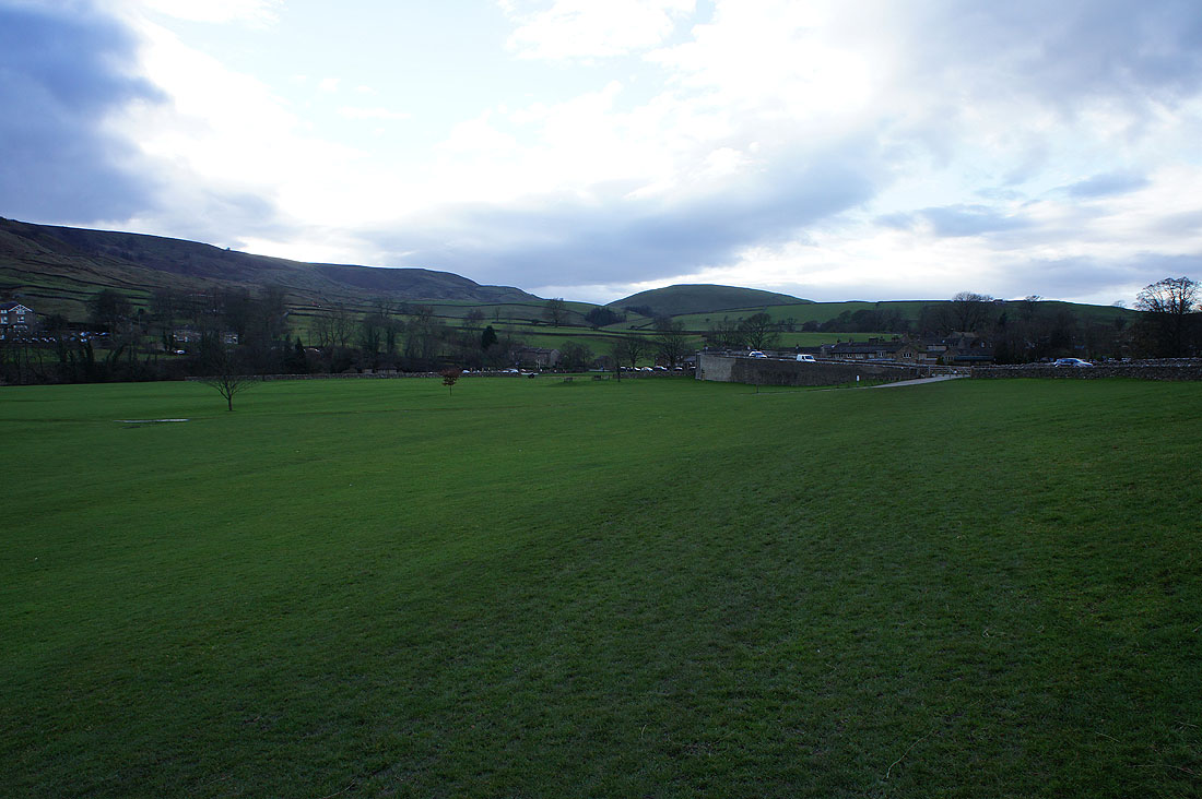
Back in Burnsall
