4th March 2023 - Fountains Fell
Walk Details
Distance walked: 12.6 miles
Total ascent: 1610 ft
OS map used: OL2 - Yorkshire Dales, Southern & Western areas
Time taken: 6.5 hrs
Route description: Watersinks car park- Pennine Way-Malham Tarn-Pennine Way-Malham Tarn House-Pennine Way-Tennant Gill Farm-Pennine Way-Fountains Fell-Fountains Fell south top-Knowe Fell-Henside Road-Malham Tarn Estate-Tarn Moss-Malham Tarn House-Pennine Way-Malham Tarn- Pennine Way-Watersinks car park
I decided to head for the Yorkshire Dales for my walk this weekend for an ascent of Fountains Fell, a fell I've been to the top of several times. Starting from the Watersinks car park, the route that I decided on was a variation of one that I've done a few times before, using the Pennine Way to get up onto Fountains Fell, and then following the moorland ridge south to Knowe Fell and down to Henside Road. What was different this time was taking the left hand side of the fork in the road east of Capon Hall so that I could head back through the Malham Tarn Estate to the car park. It gave me the opportunity to walk through the Nature Reserve, which I hadn't done before. The weather was more or less the same as it was yesterday, predominantly cloudy with very little in the way of brightness, but as luck would have it a few breaks in the cloud passed through while I was on the top of Fountains Fell. The little bit of sunshine on the moors certainly made for the best views of the day.
From the Watersinks car park by the road past Malham Tarn I followed the trail of the Pennine Way past Malham Tarn, Malham Tarn House, then north to Tennant Gill Farm and up onto Fountains Fell. Lunch was had at the northern end of the summit. I left the trail behind here to reach the summit cairn before heading south to Fountains Fell south top and down the ridge to the trig point on Knowe Fell. I continued south by the wall to pick up a bridleway that took me down to Henside Road. A rather long walk east along this road past Capon Hall brought me to a fork in the road, where I took the left hand one signposted for Malham Tarn Field Centre, and walking along this brought me to a track on the right into the Malham Tarn Estate. I took the track and followed it to Malham Tarn House, with a detour across the duckboards on Tarn Moss in the Nature Reserve. Once at Malham Tarn House I retraced my steps back to the Watersinks car park.
Route map
© Crown copyright. All rights reserved. License number PU 100034184.
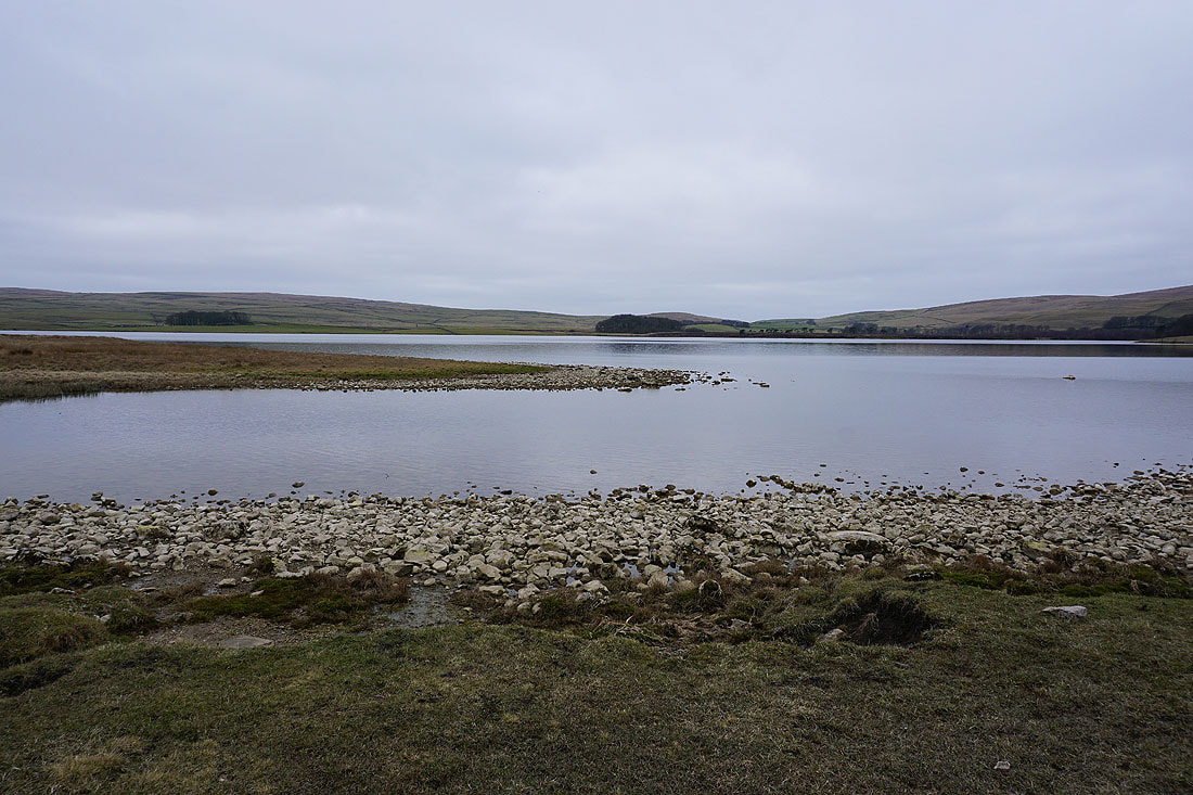
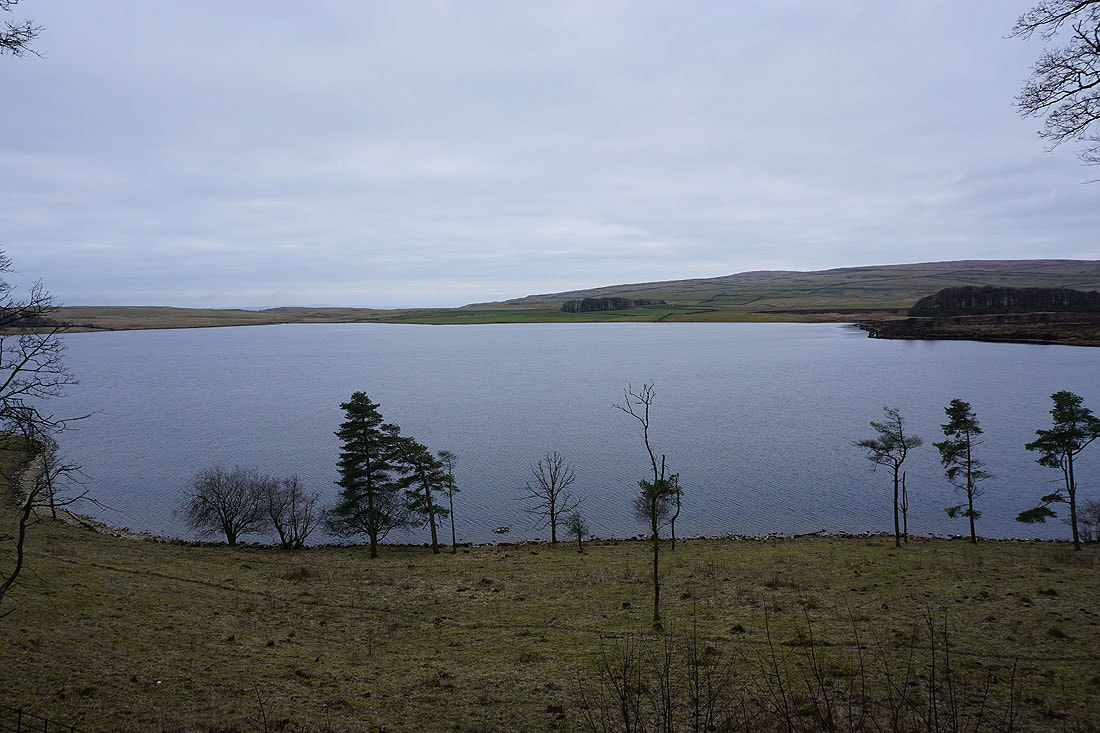
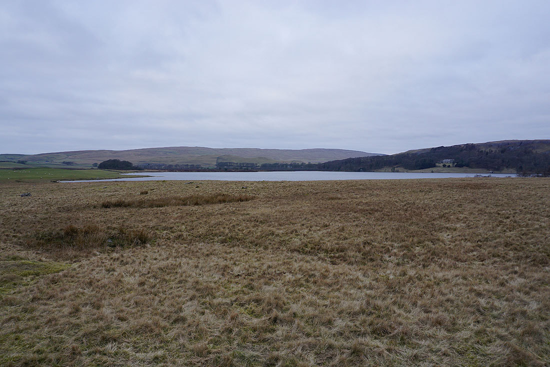
By the shores of Malham Tarn. The water level is a bit low after recent dry weather..
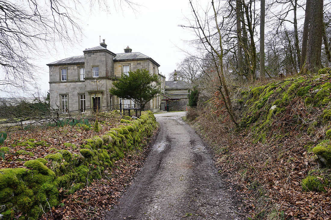
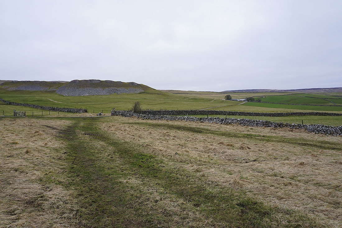
Passing through the grounds of Malham Tarn House
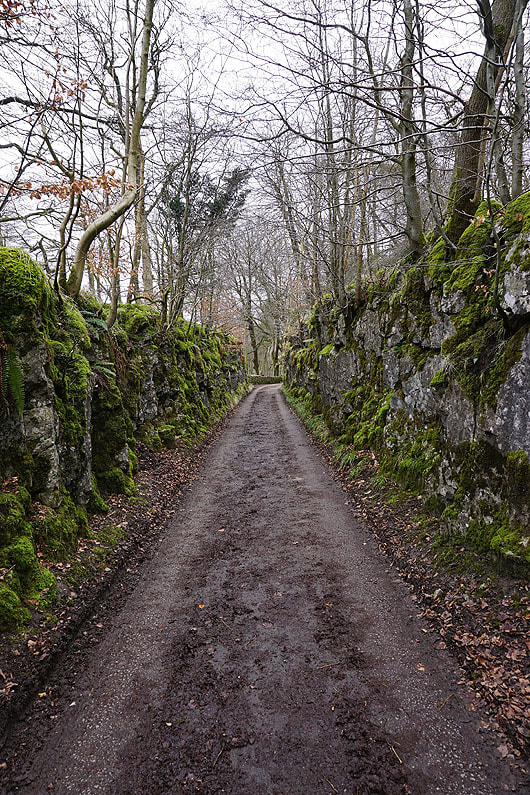
The Pennine Way goes through a cutting in the limestone
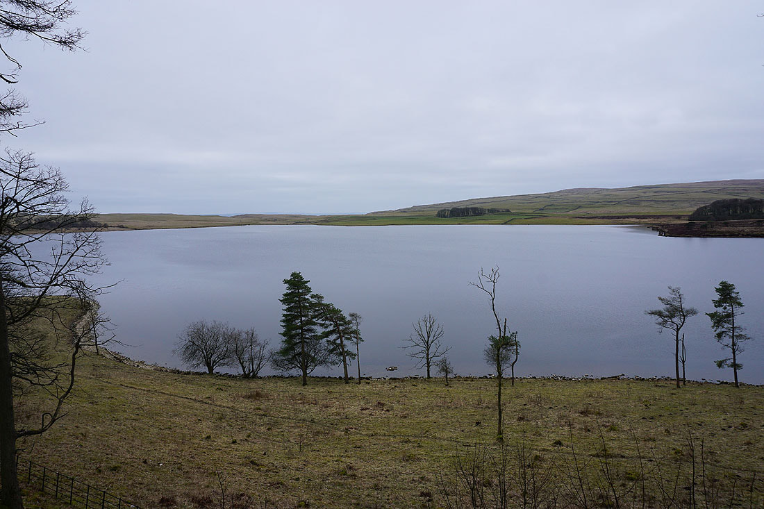
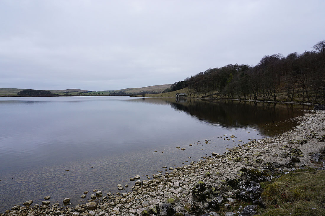
Malham Tarn from just past Malham Tarn House
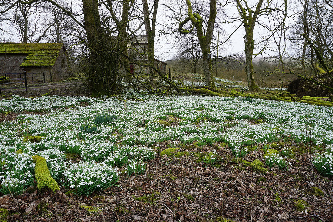
Drifts of snowdrops
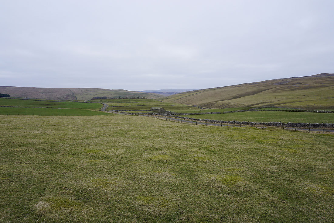
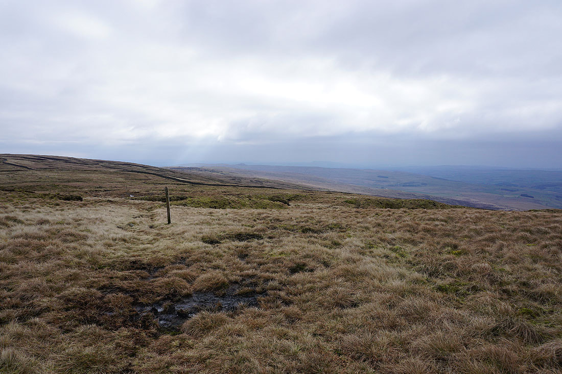
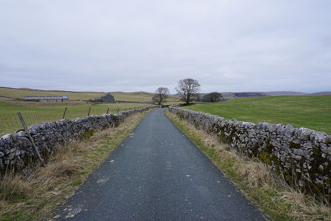
On the Pennine Way to Tennant Gill Farm..
The road to Arncliffe in Littondale
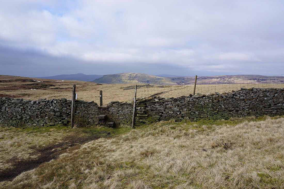
From Tennant Gill Farm the Pennine Way heads up onto Fountains Fell
Gaining height, a hint of Malham Tarn in the distance when I look back
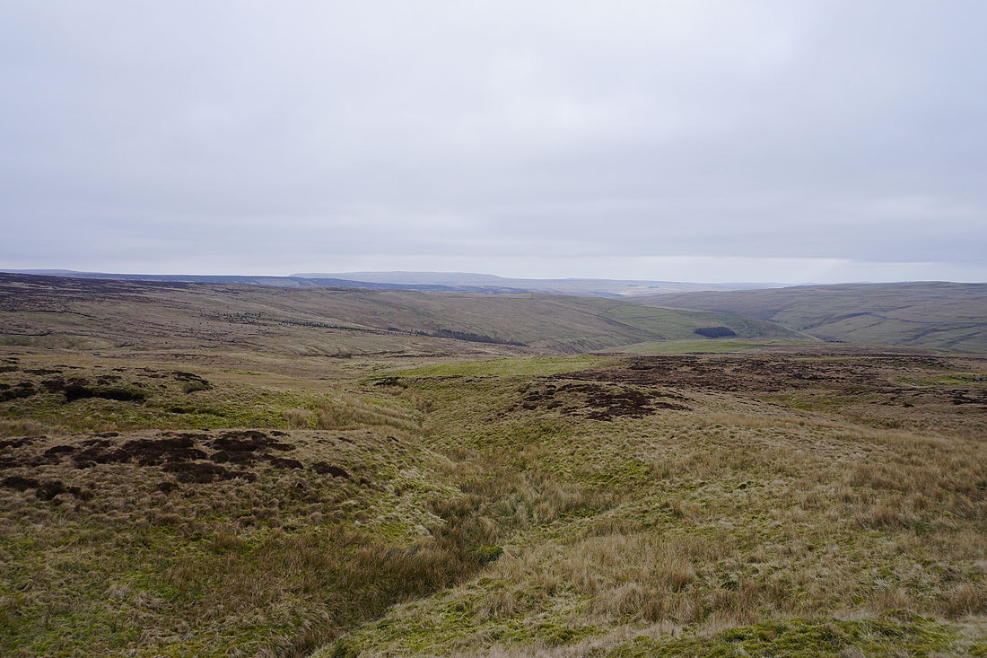
Great Whernside in the distance and the valley of Cowside Beck on the right
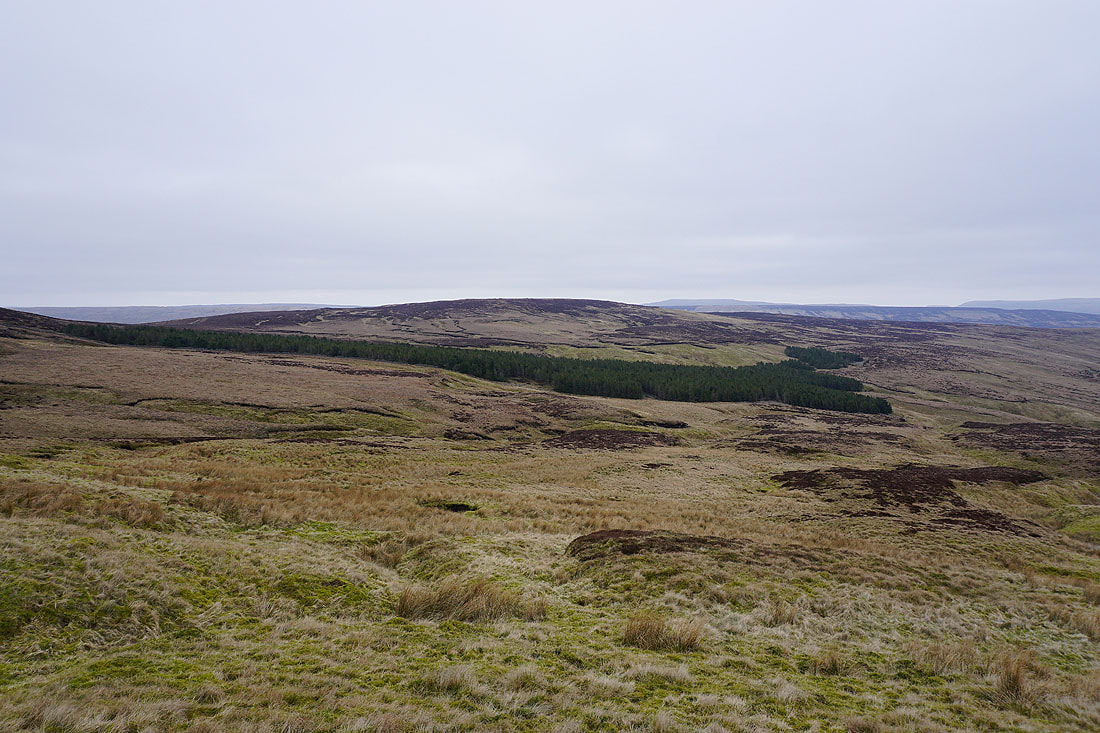
The sprawling slopes of Darnbrook Fell
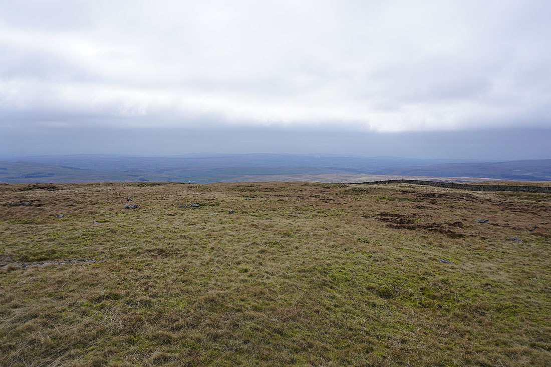
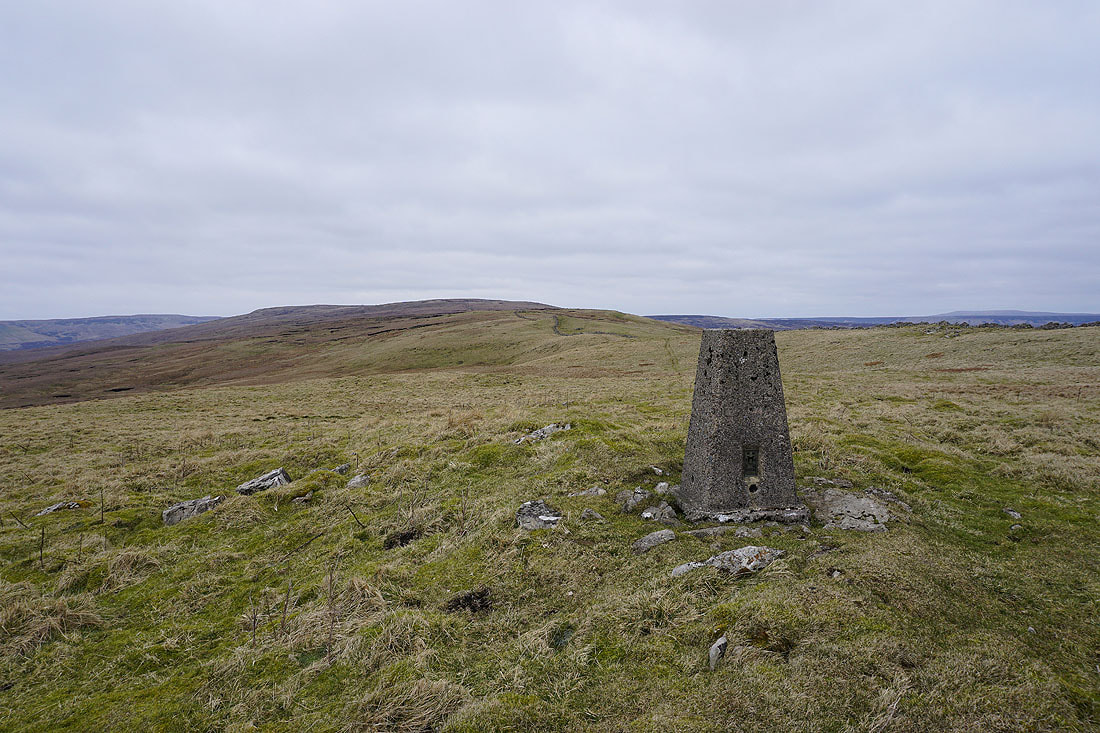
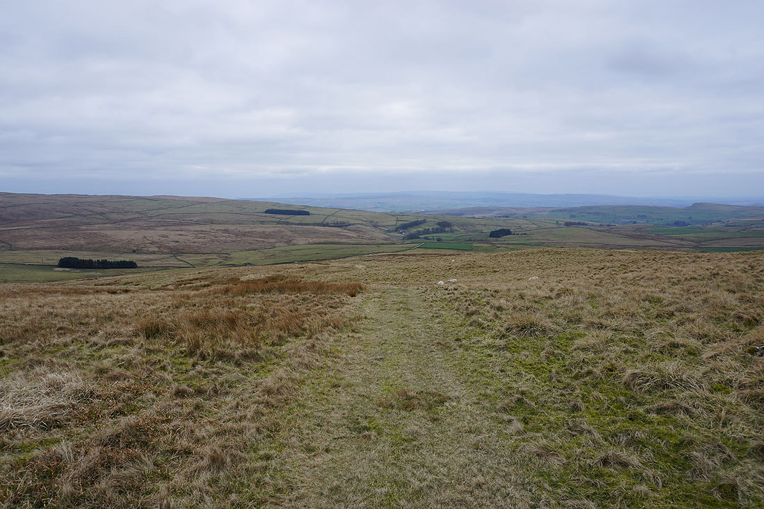
Ingleborough and Penyghent come into view as the Pennine Way reaches its summit across Fountains Fell
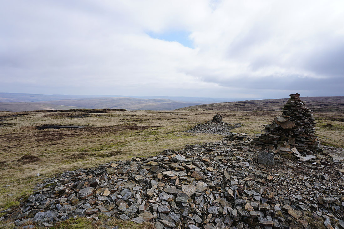
Ingleborough, Penyghent, Whernside, and Plover Hill from a cairn at the northern end of the summit. This was where I stopped for lunch. The little bit of sunshine is welcome.
and again from the top of the Pennine Way
The limestone moorland of Proctor High Mark to the southeast, with Barden Moor in the distance
Buckden Pike and Great Whernside in the distance beyond Darnbrook Fell and Old Cote Moor Top
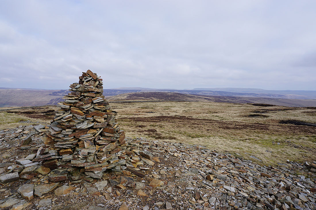
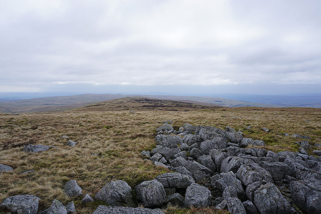
and again, from the summit of Fountains Fell
The Forest of Bowland to the southwest
Ingleborough, Penyghent and Plover Hill
Fells to the north, including Plover Hill, Dodd Fell Hill, and Great Shunner Fell
The pointed top of Rye Loaf Hill and the very hazy outline of Pendle Hill to the south
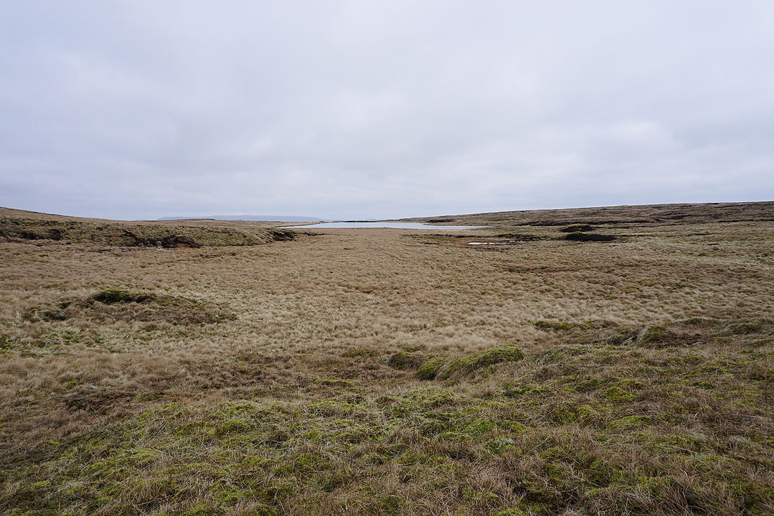
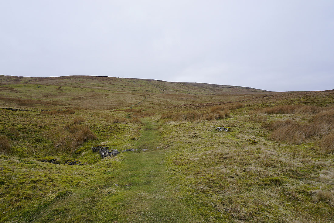
Passing Fountains Fell Tarn
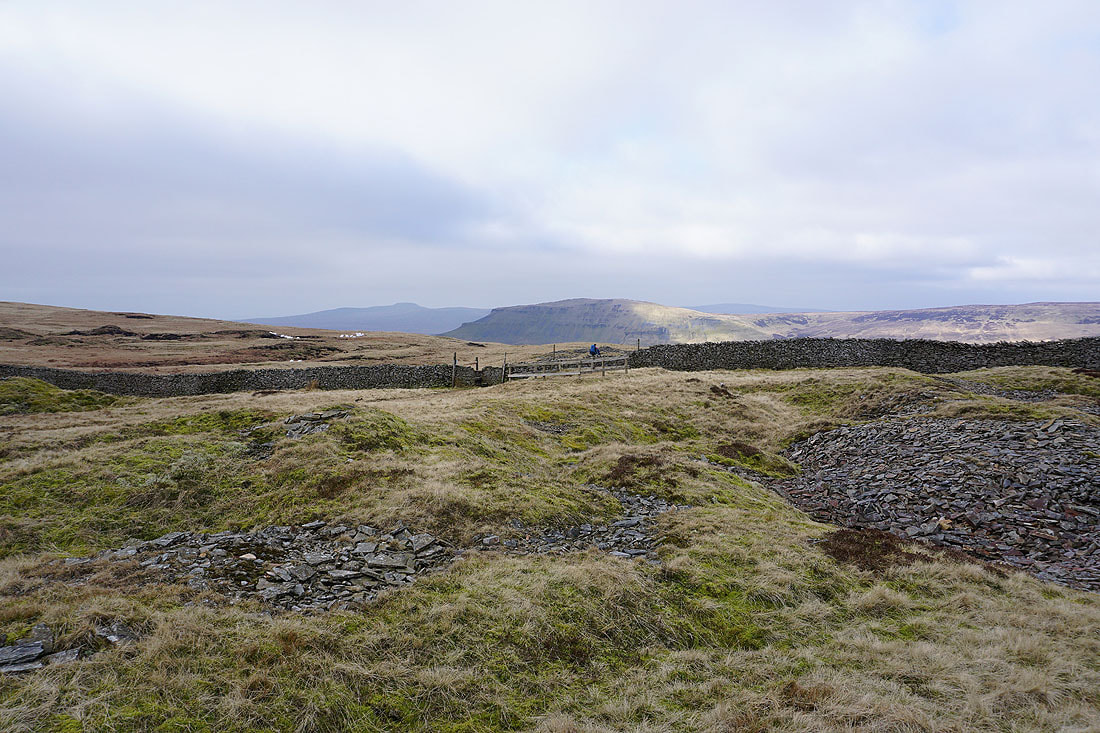
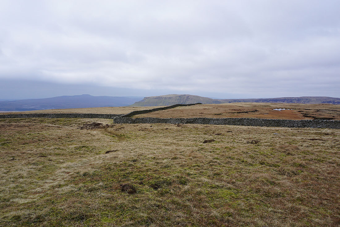
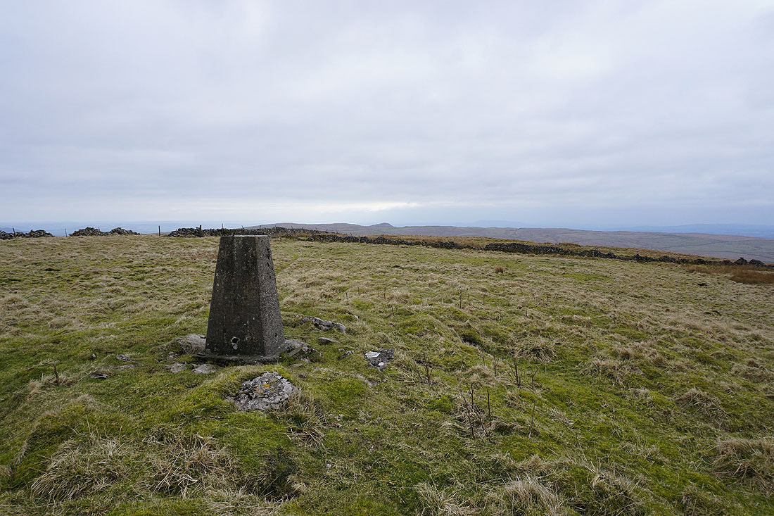
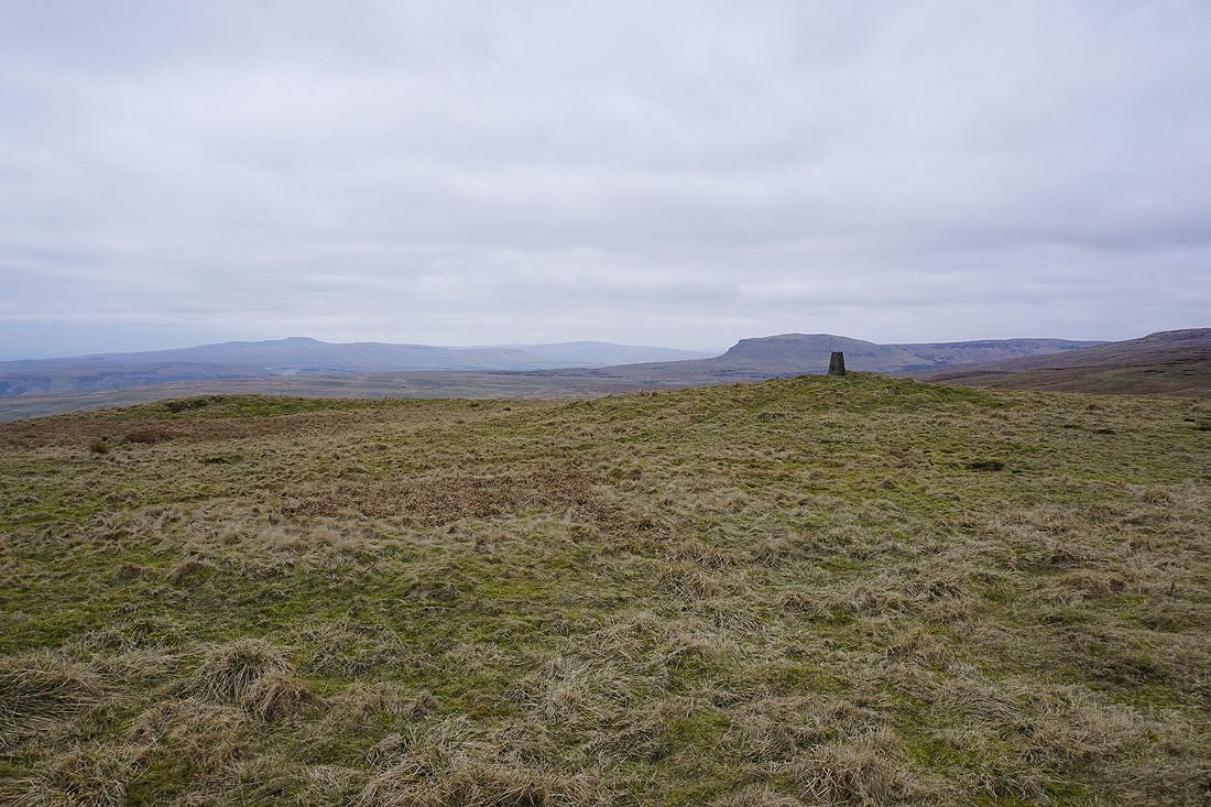
Ingleborough and Penyghent from Fountains Fell's south top
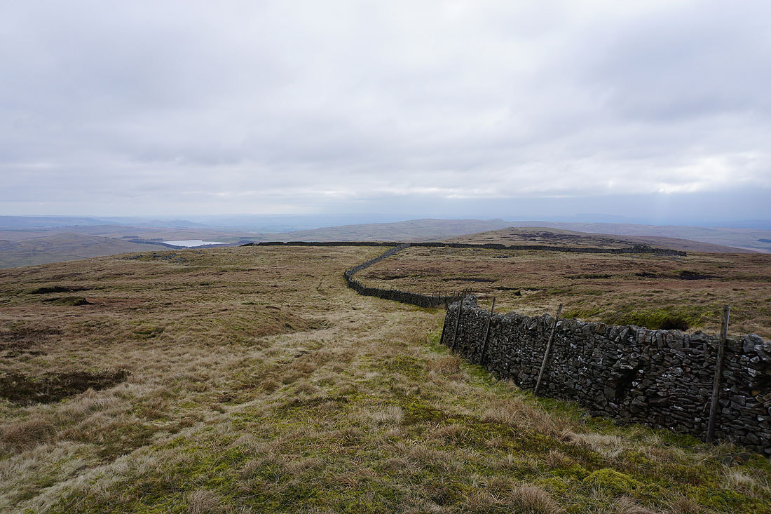
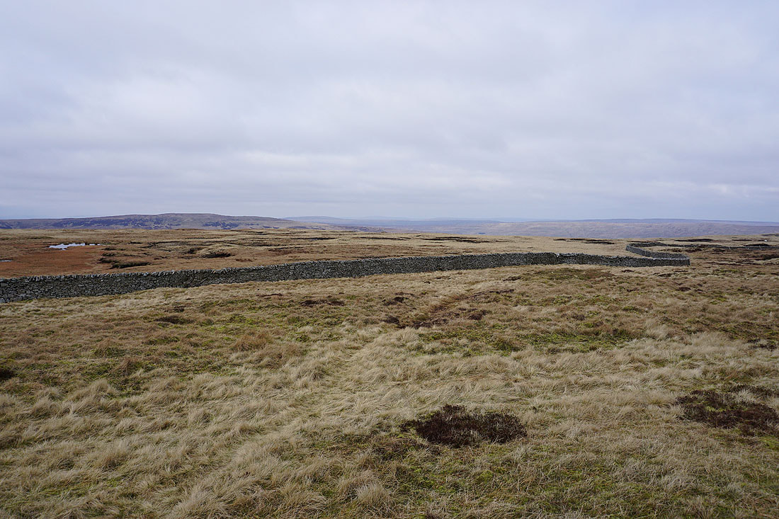
Malham Tarn and the moorland that I'll walk across to reach Knowe Fell
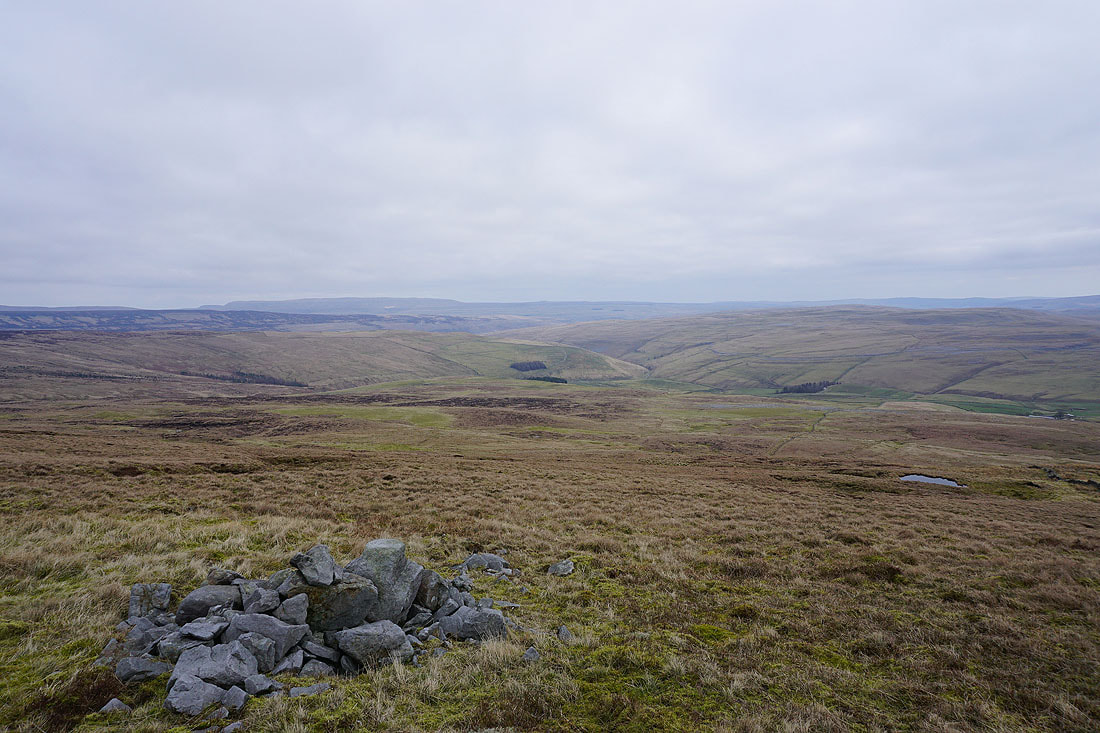
Great Whernside, the valley of Cowside Beck and the limestone moorland of Proctor High Mark
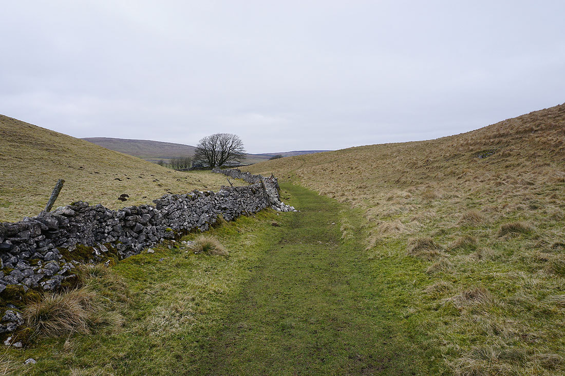
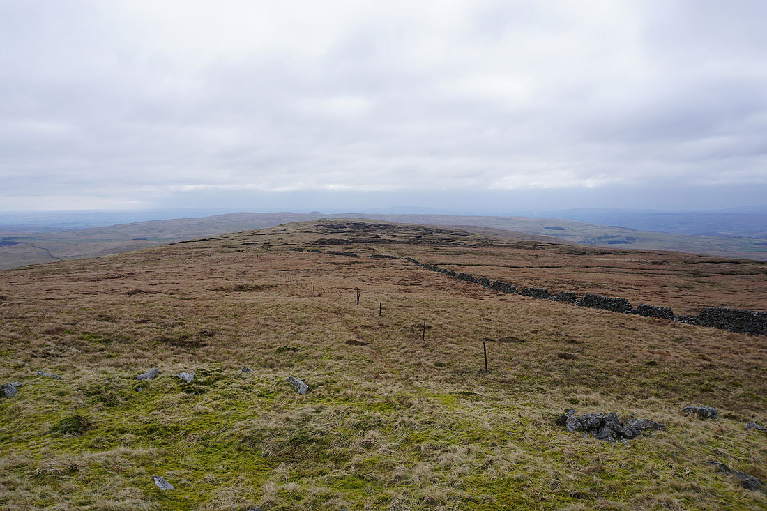
Heading south to Knowe Fell with the pointed top of Rye Loaf Hill in the distance..
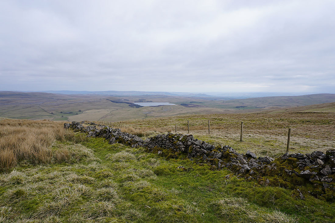
There's a great view of Malham Tarn from up here
Approaching the top of Knowe Fell
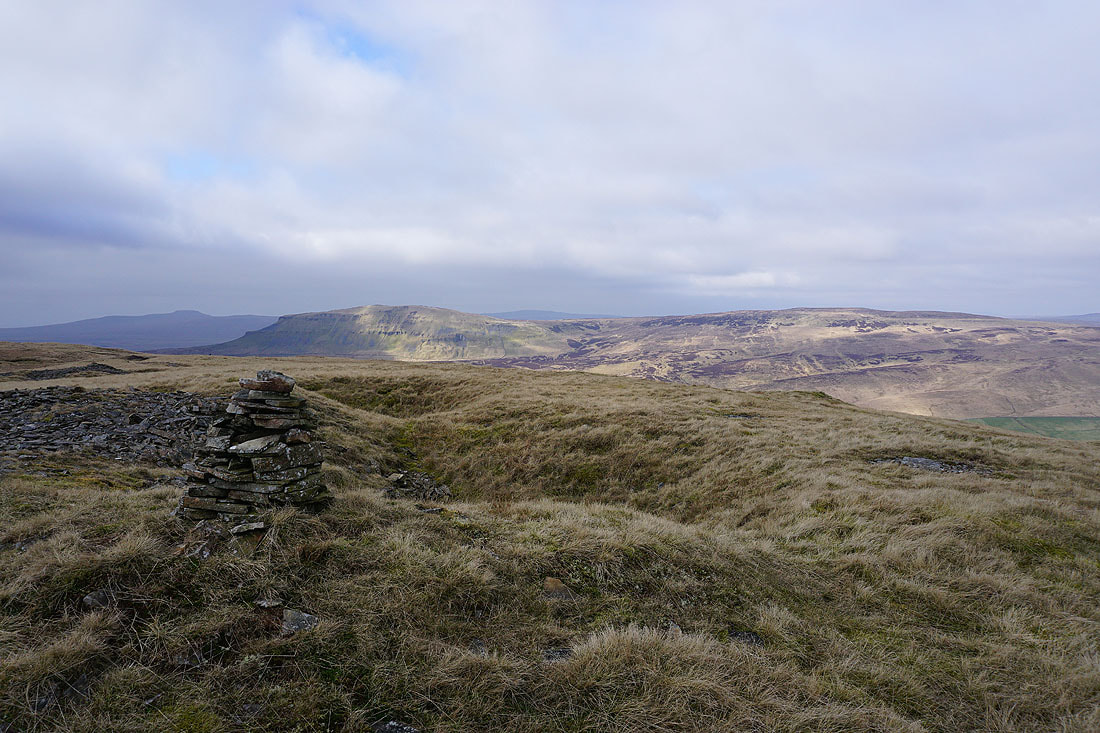
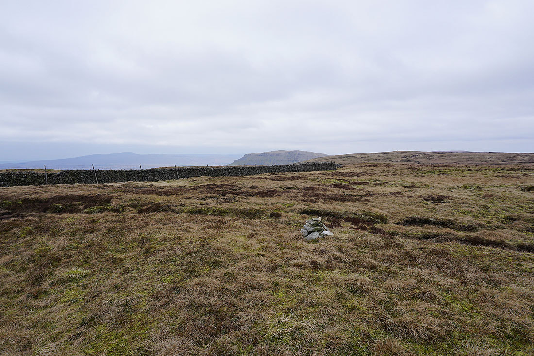
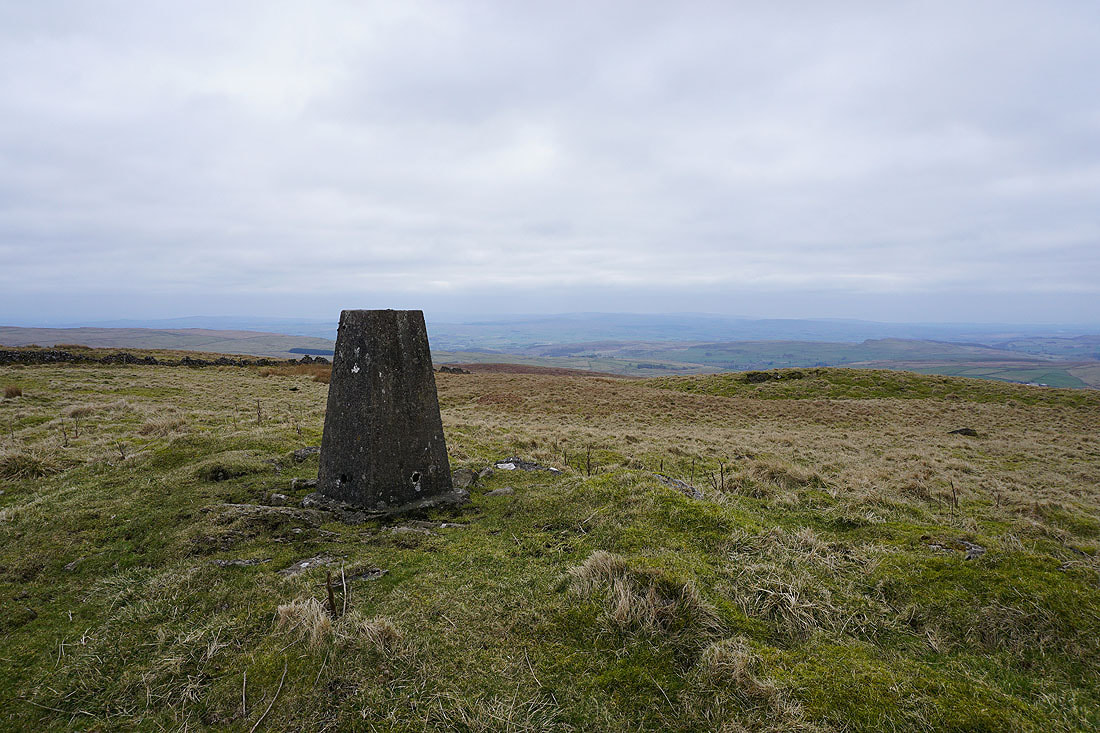
At the trig point on Knowe Fell. Looking back north to Fountains Fell.
Rye Loaf Hill to the south
and the Forest of Bowland to the southwest
Ingleborough, Whernside and Penyghent from Knowe Fell
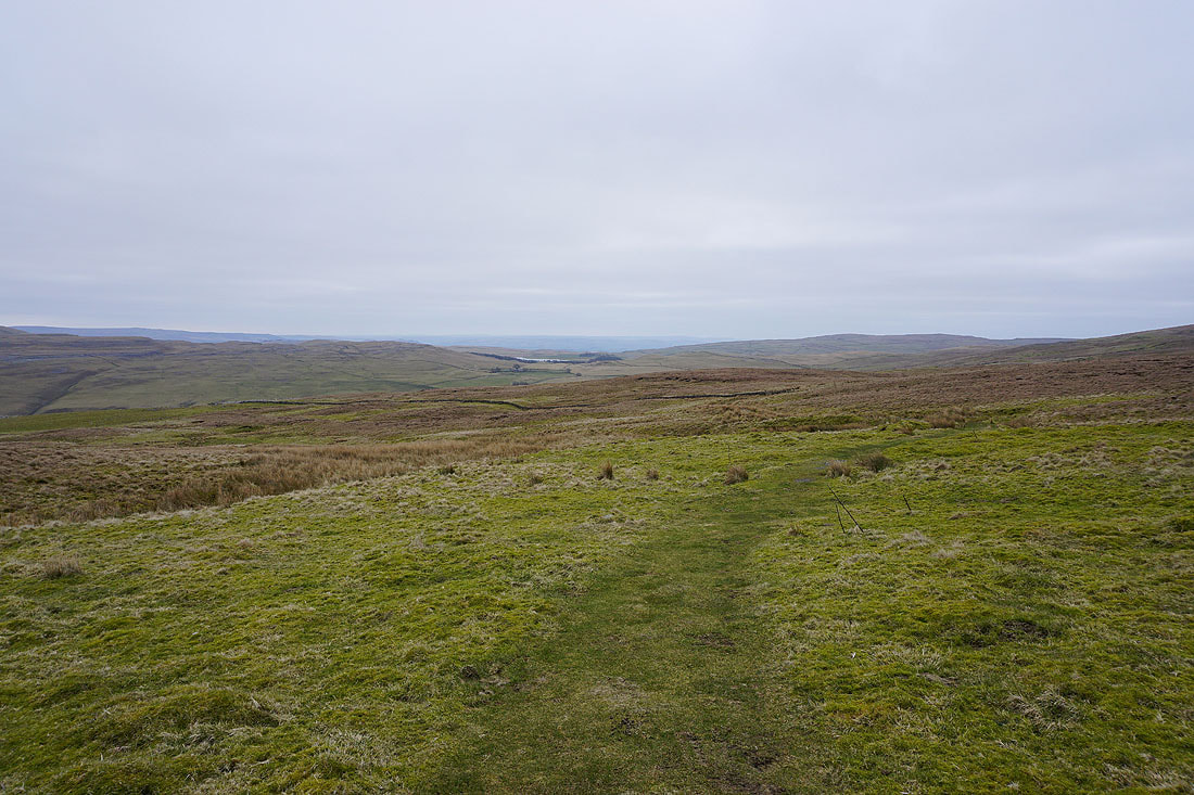
I get a view towards Ribblesdale as I approach the Langcliffe to Malham Tarn road
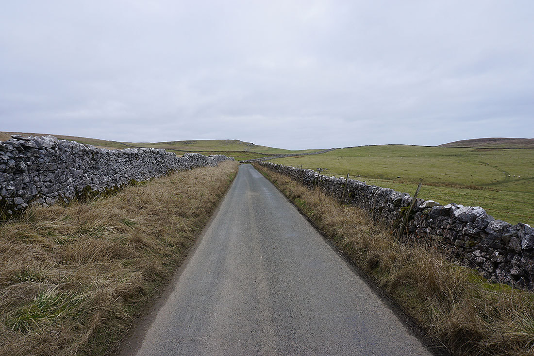
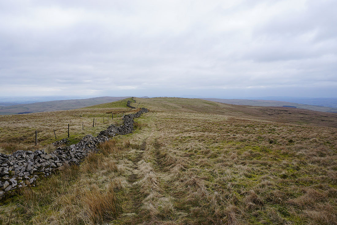
Off Knowe Fell and onto the road back towards Malham Tarn
A last chance for a view Ingleborough when I look back
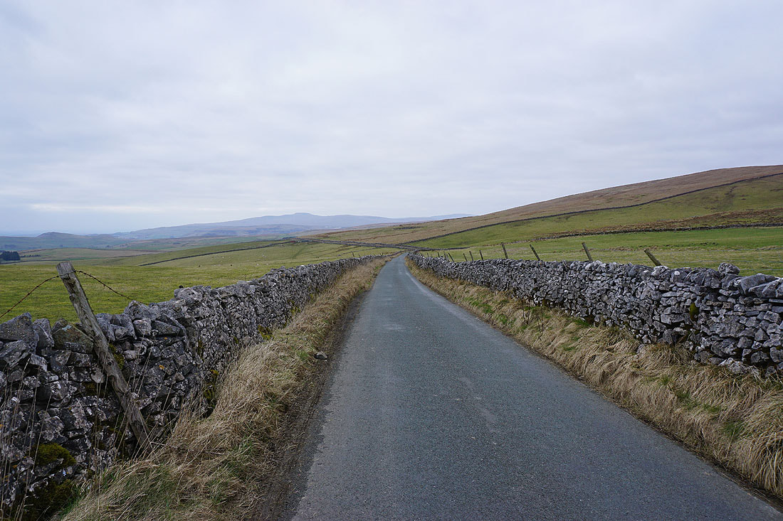
Walking along the road towards Malham Tarn House...
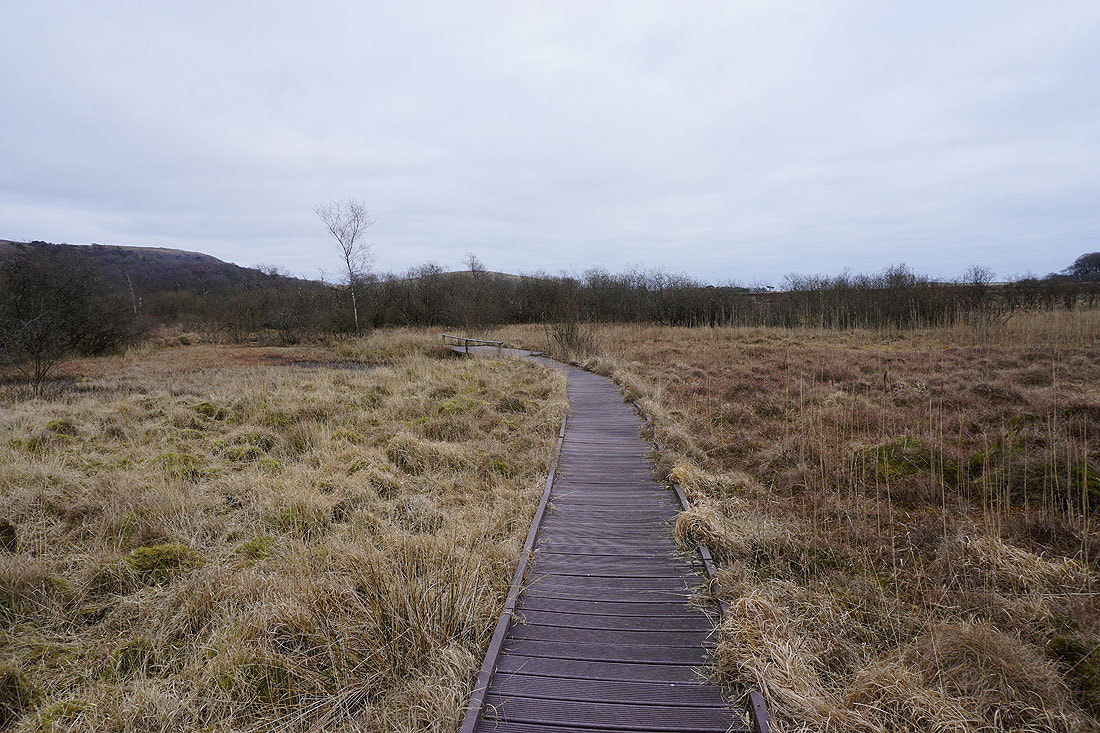
After leaving the road for a track through the Malham Tarn Estate I decided to take a walk along the duckboards across Tarn Moss
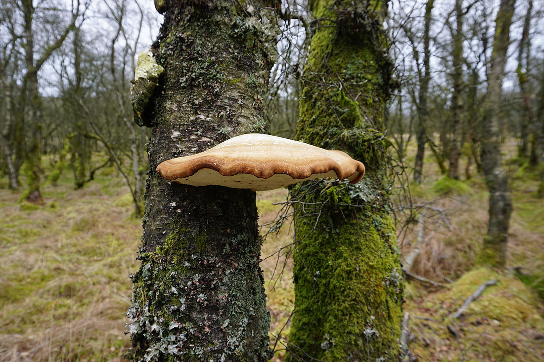
A great looking Bracket Fungus
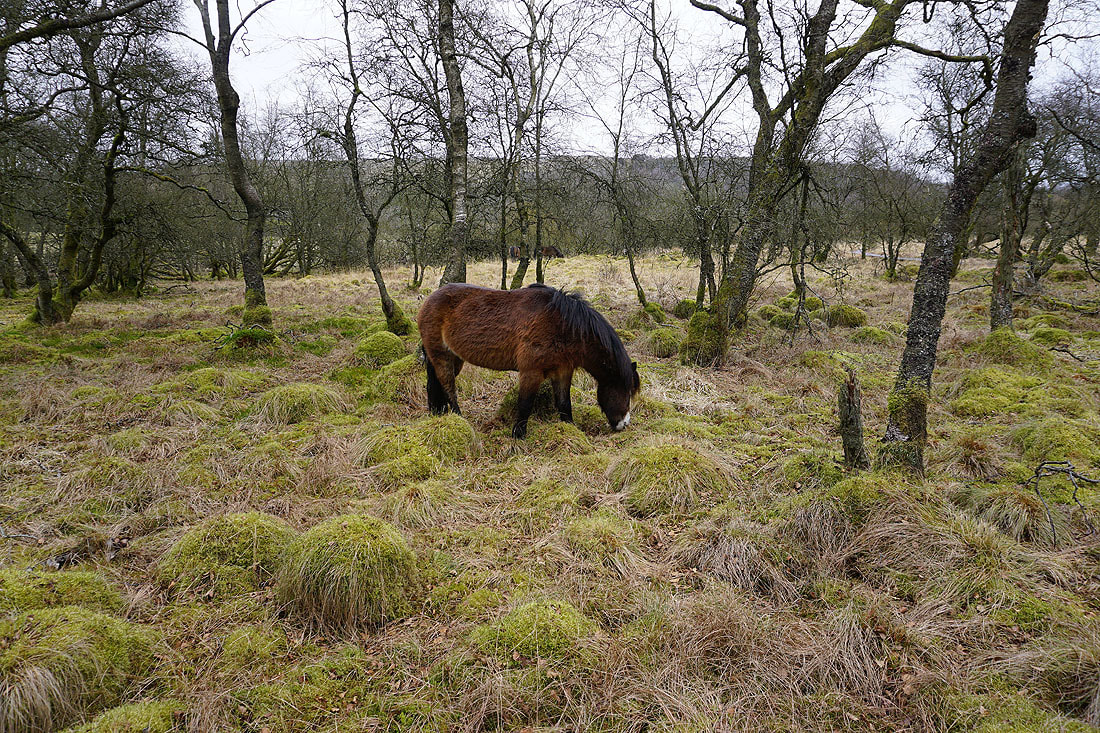
An Exmoor Pony
Malham Tarn from Malham Tarn House
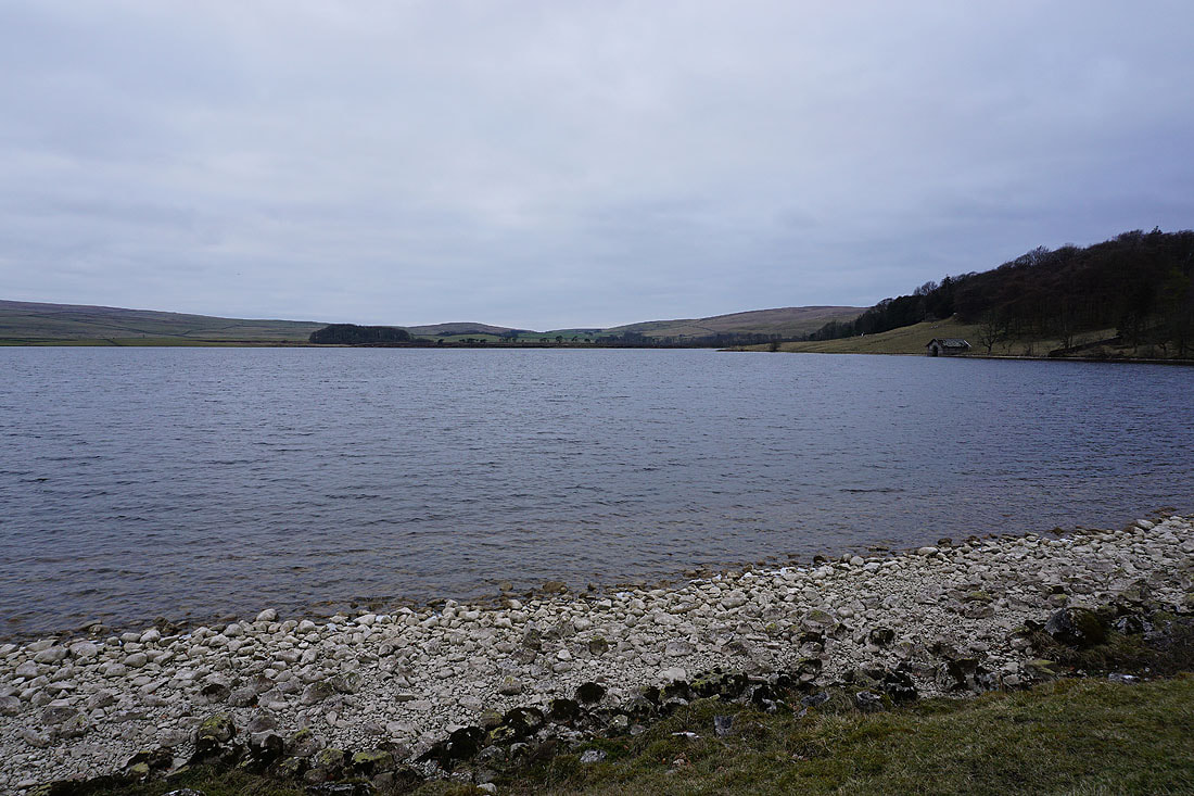
Back by the shores of Malham Tarn
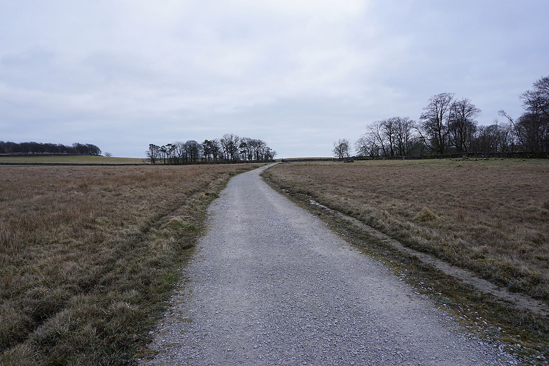
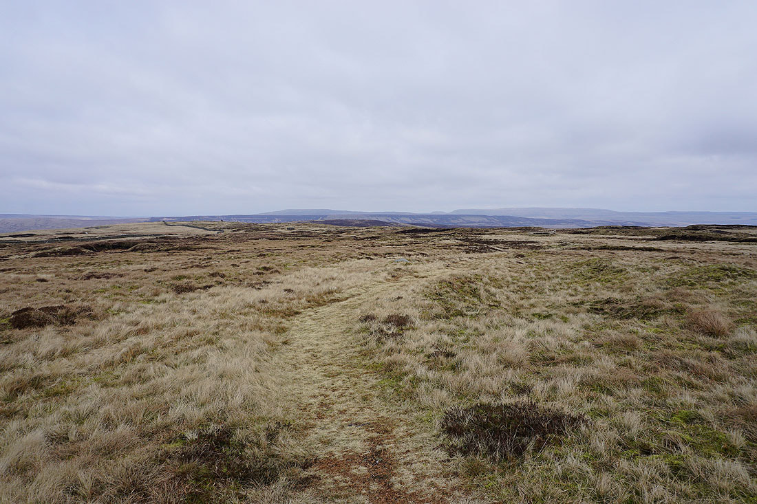
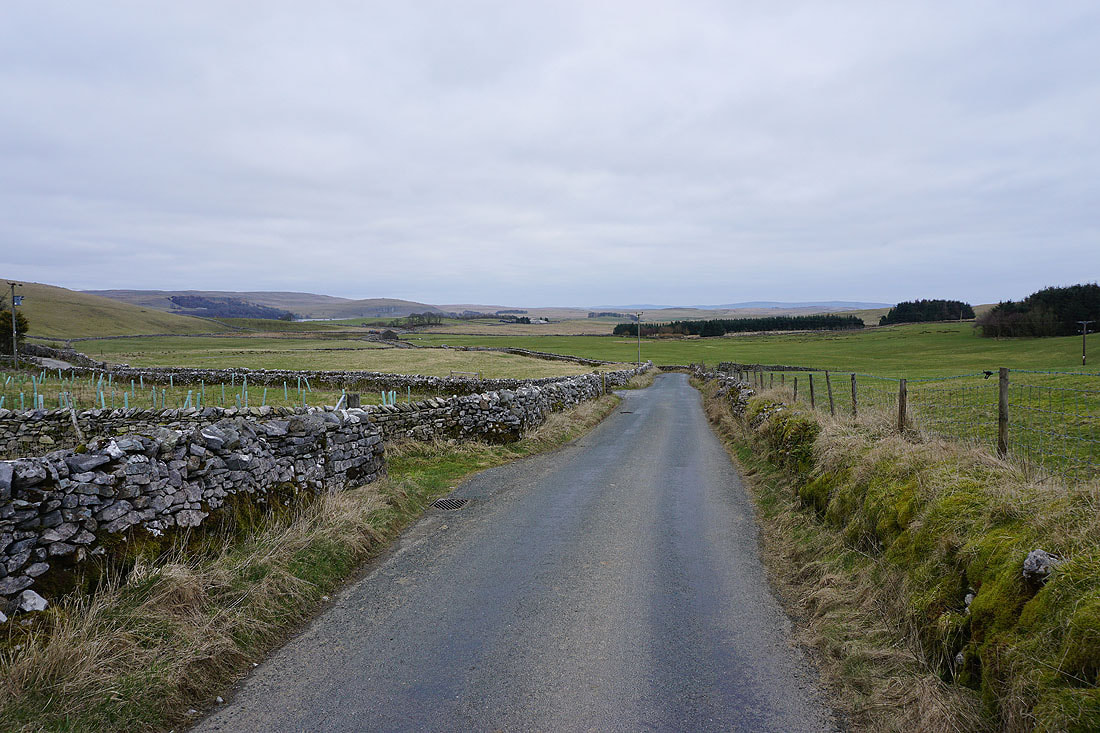
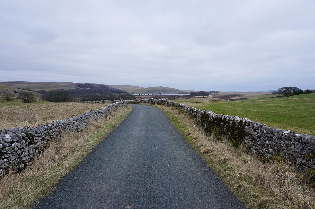
On the Pennine Way to the Watersinks car park
A last shot of Malham Tarn, backed by Fountains Fell