4th May 2013 - The Uldale Fells
Walk Details
Distance walked: 13.0 miles
Total ascent: 3529 miles
OS map used: OL4 - The English Lakes, North-western area
Time taken: 7.5 hrs
Route description: Layby by Over Water-Longlands-Longlands Fell-Lowthwaite Fell-Brae Fell-Little Sca Fell-Great Sca Fell-Knott-Great Calva-Knott-Great Sca Fell-Meal Fell-Trusmadoor-Great Cockup-Orthwaite-Layby by Over Water
The first walk of my Bank Holiday stay in the Lakes and a fine day is forecast for this big walk around the Uldale Fells.
From where I parked near Over Water some road walking had to be endured to reach the hamlet of Longlands. A short time was spent on the bridleway to Green Head before commencing the ascent of Longlands Fell. I then went round the tops visiting Lowthwaite Fell, Brae Fell, Little and Great Sca Fell, Knott and Great Calva. The return took me back to Knott and Great Sca Fell before heading down via Meal Fell and Great Cockup. Another bit of road walking through Orthwaite brought me back to where I was parked.
Route map
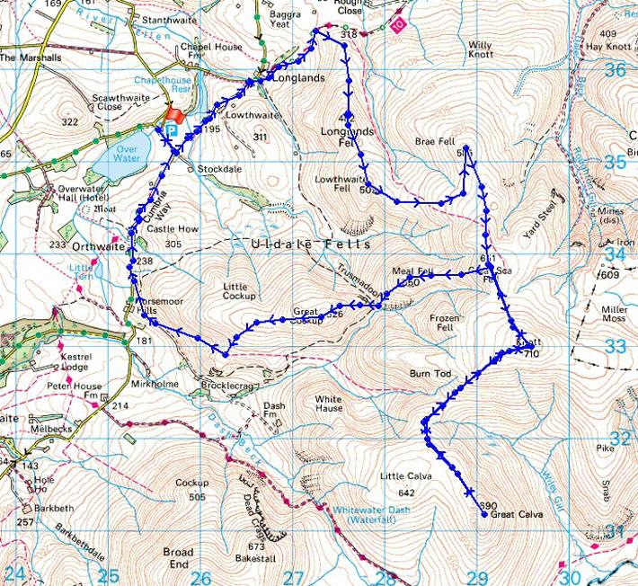
© Crown copyright. All rights reserved. License number PU 100034184.
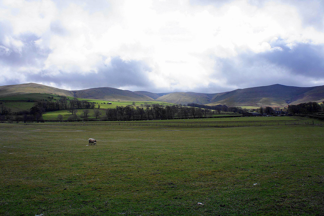
The Uldale fells from where I'm parked near Over Water
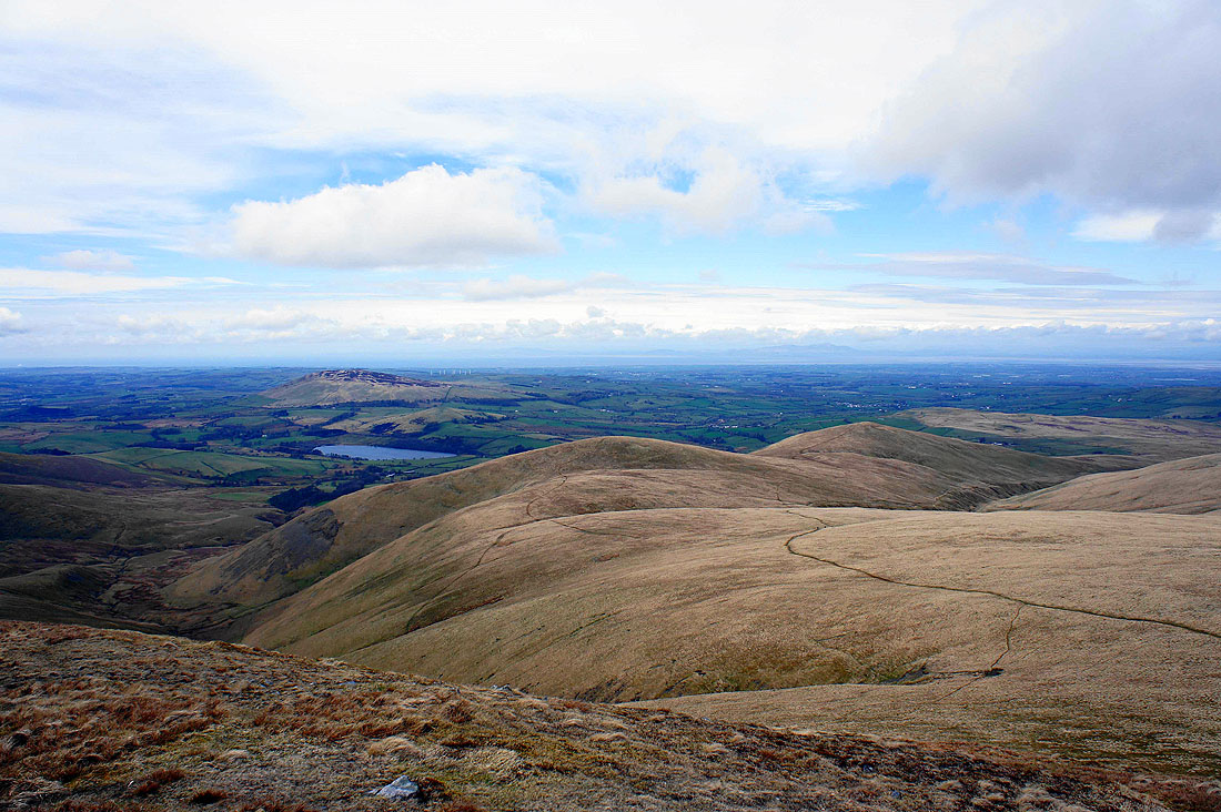
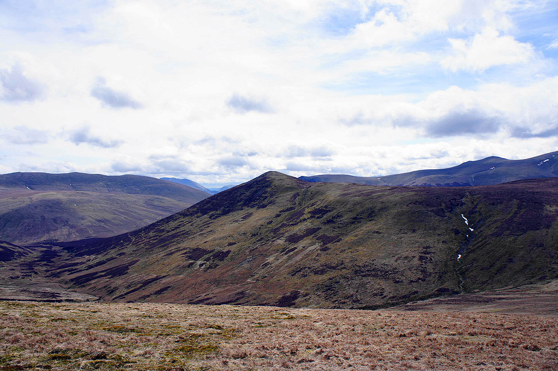
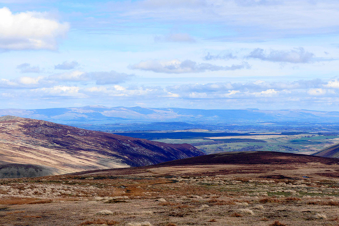
On Longlands Fell, the first top of the day. The view ahead to Little and Great Sca Fells and the next top of Lowthwaite Fell.
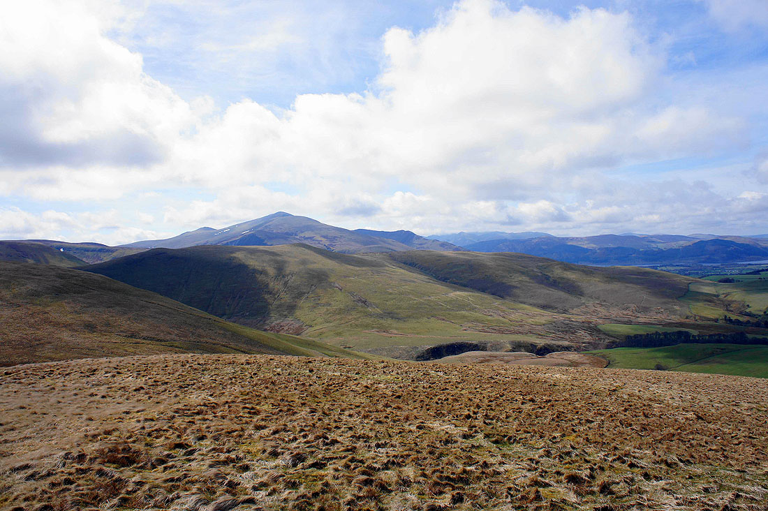
Great Cockup, my last top of the day in front of Skiddaw
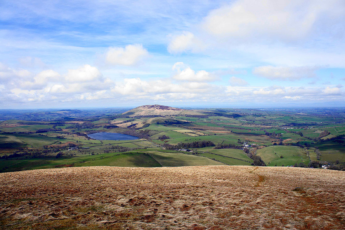
Over Water and Binsey
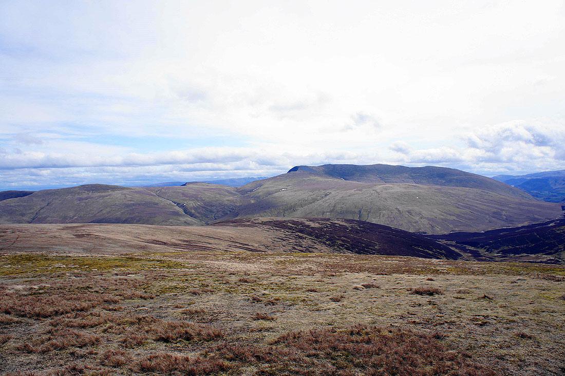
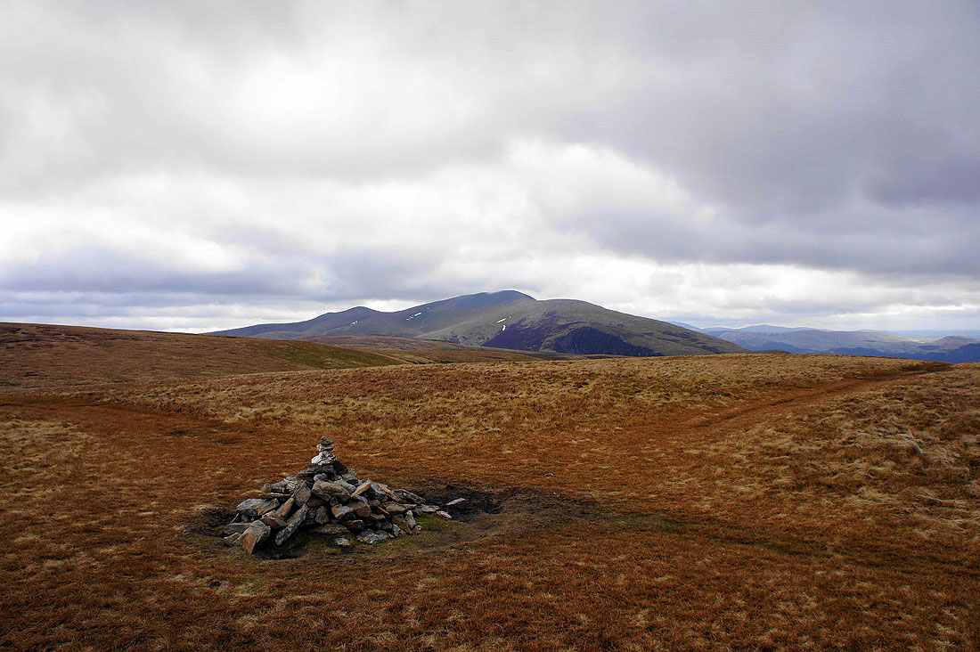
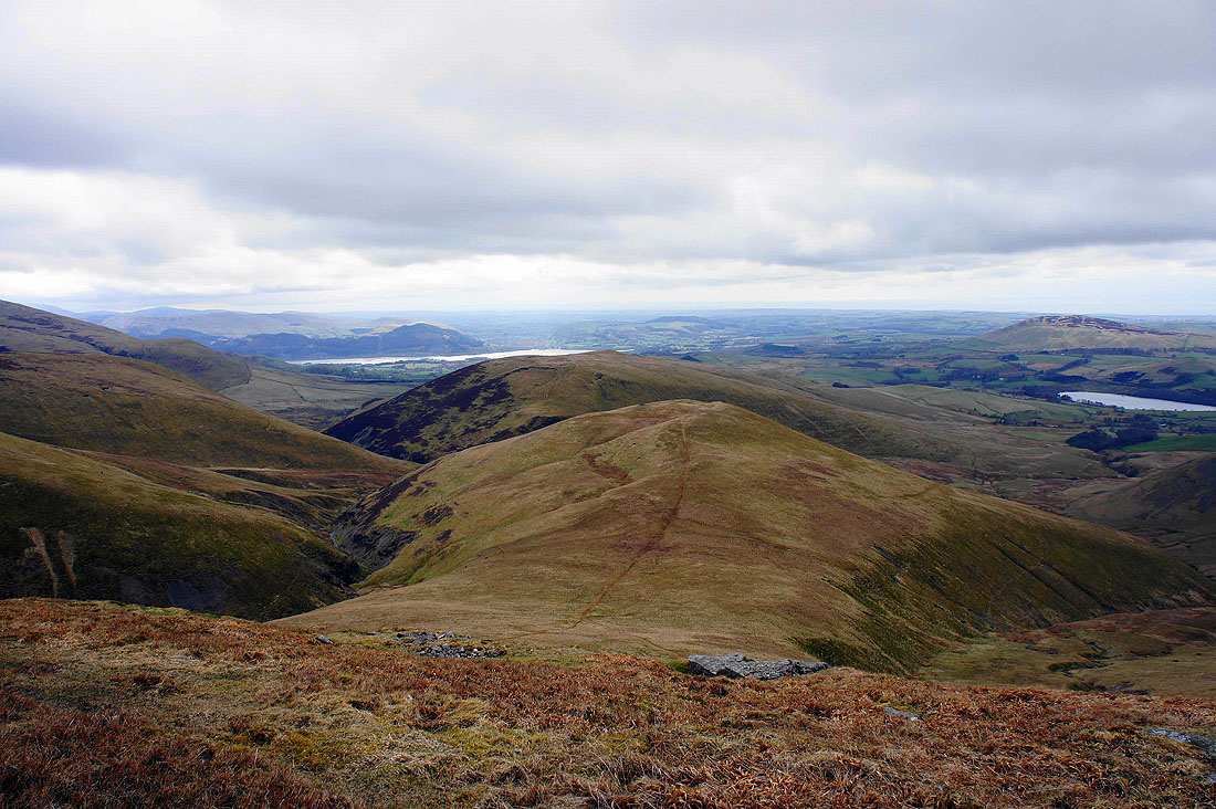
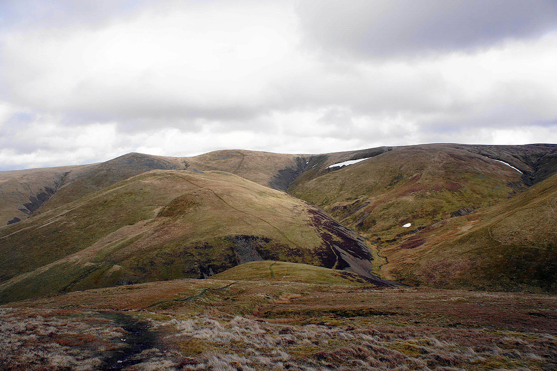
Little Sca Fell, Great Sca Fell and Knott from Lowthwaite Fell
On Brae Fell. The view across the northern plain to the Solway Firth.
Next stop, Little Sca Fell
The view from Little Sca Fell. Over Water below Binsey with Lowthwaite Fell and Longlands Fell on the right.
Looking back to Brae Fell
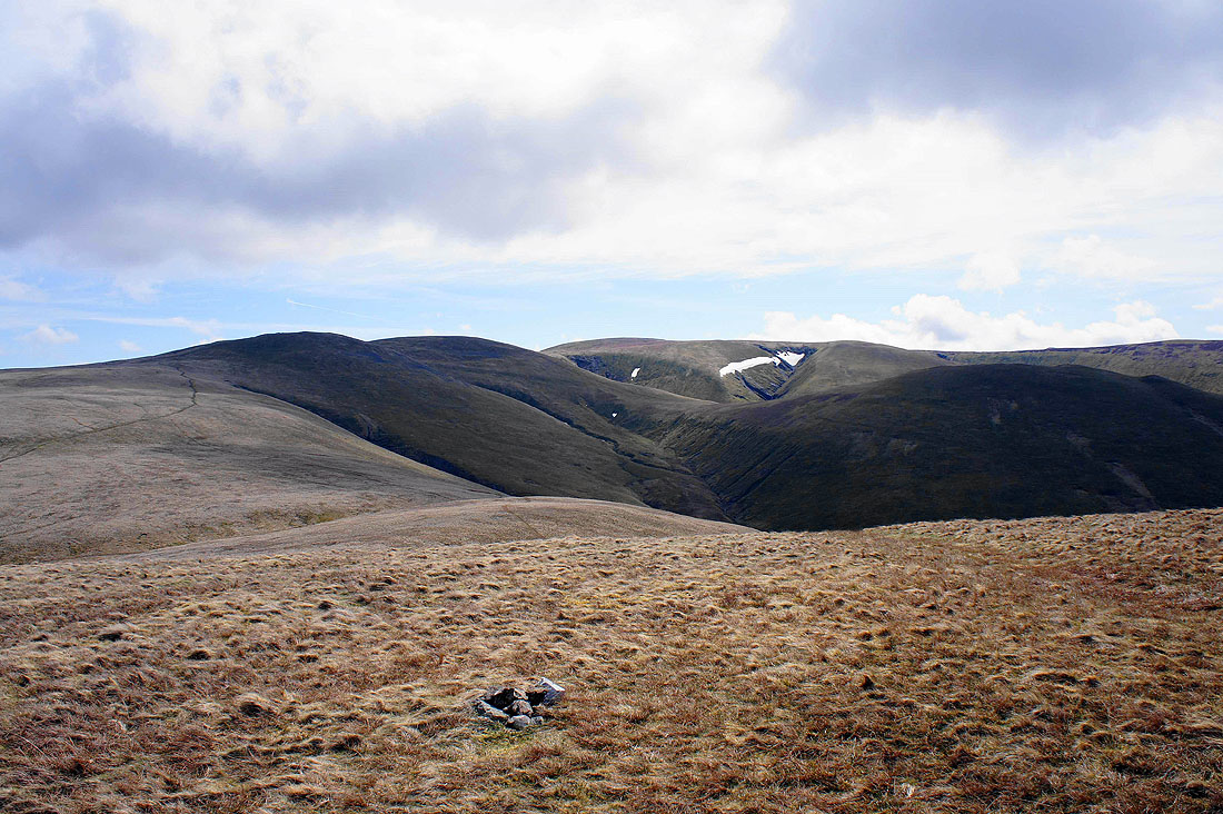
Skiddaw, Bakestall and Burn Tod, a shoulder of Knott
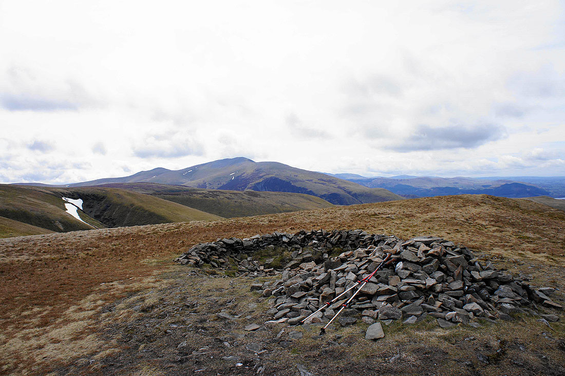
High Pike and Carrock Fell from Knott. I'll be here again after I've been to Great Calva.
Bowscale Fell, the less interesting side of Blencathra and Mungrisdale Common
Heading for Great Calva
Views from the summit of Great Calva. Carrock Fell, Bowscale Fell and Pike, the southern shoulder of Knott on the other side of Wiley Gill.
Mungrisdale Common and Blencathra with the River Caldew below
The best place to see the Cumbrian rift
Little Calva and Binsey with the Solway Firth in the distance
Skiddaw
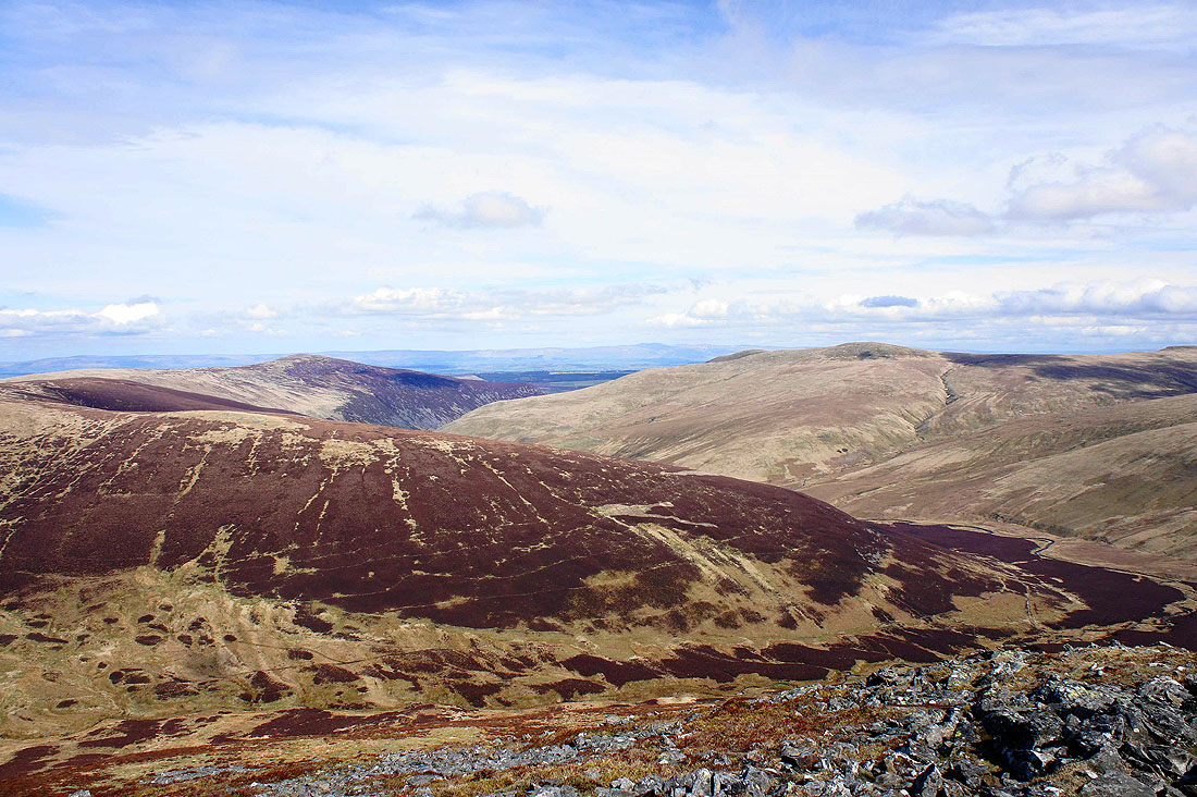
Back on Knott. Carrock Fell with the long line of the North Pennines in the background.
Zooming in on Cross Fell, Little Dun Fell, Great Dun Fell and on the right, Mickle Fell
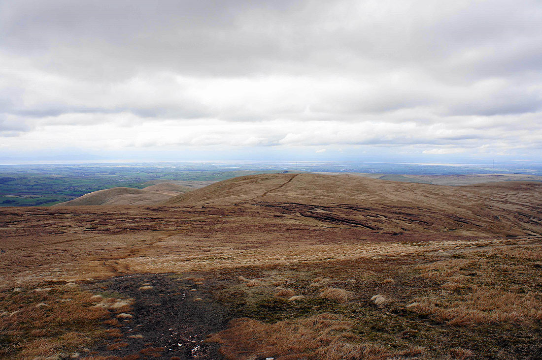
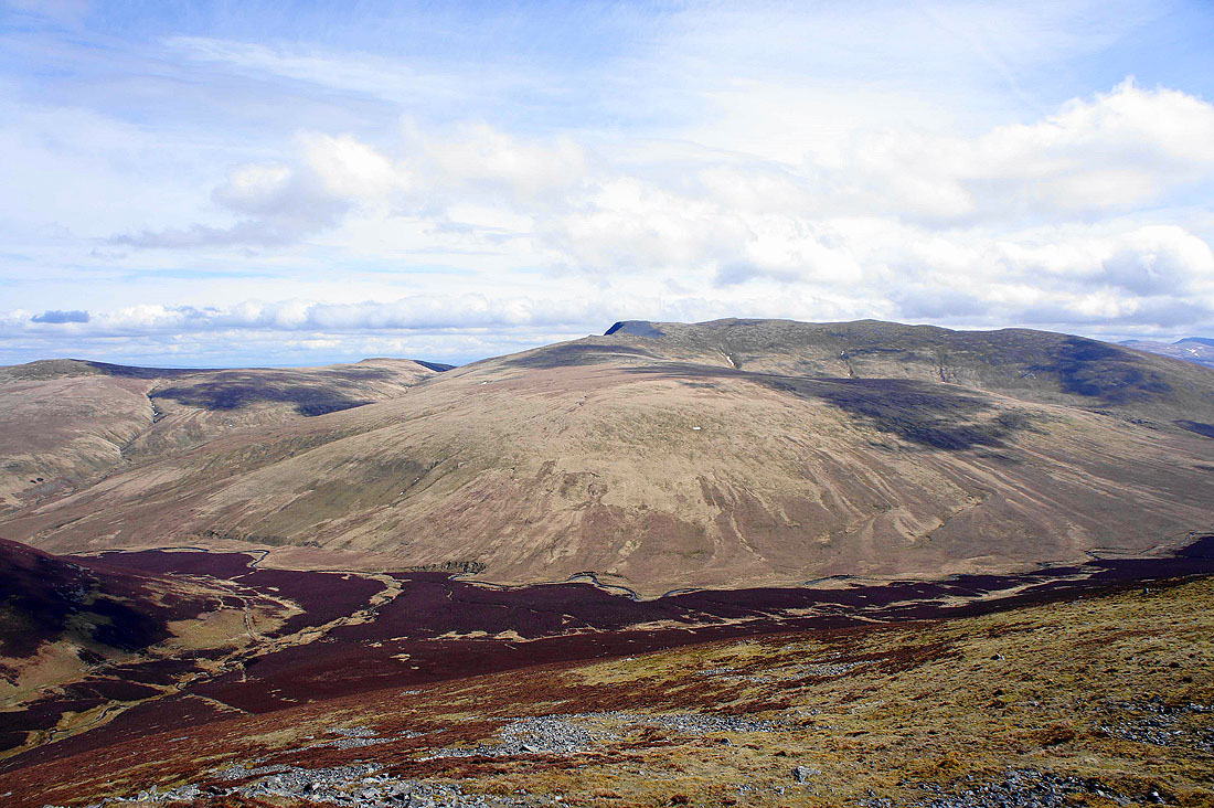
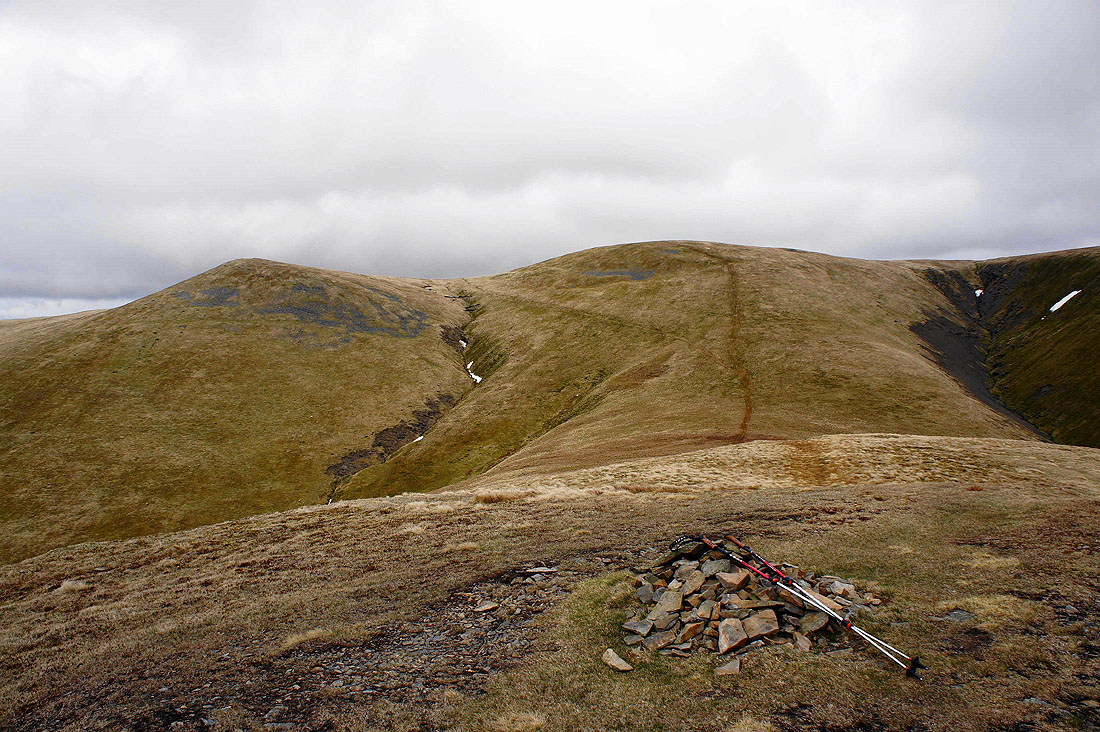
Heading back to Great Sca Fell. As you can see, the sunshine has gone.
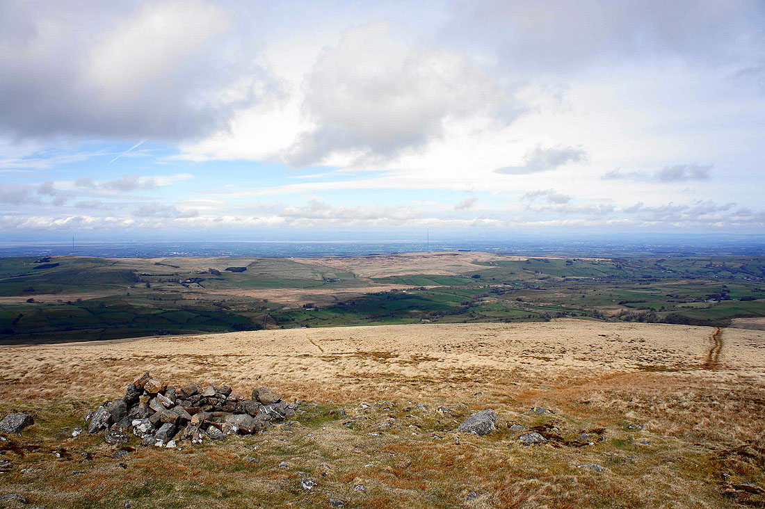
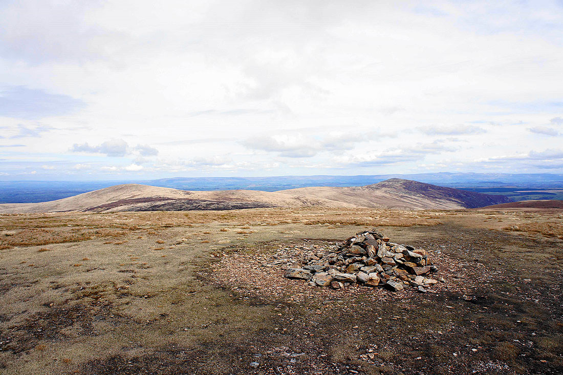
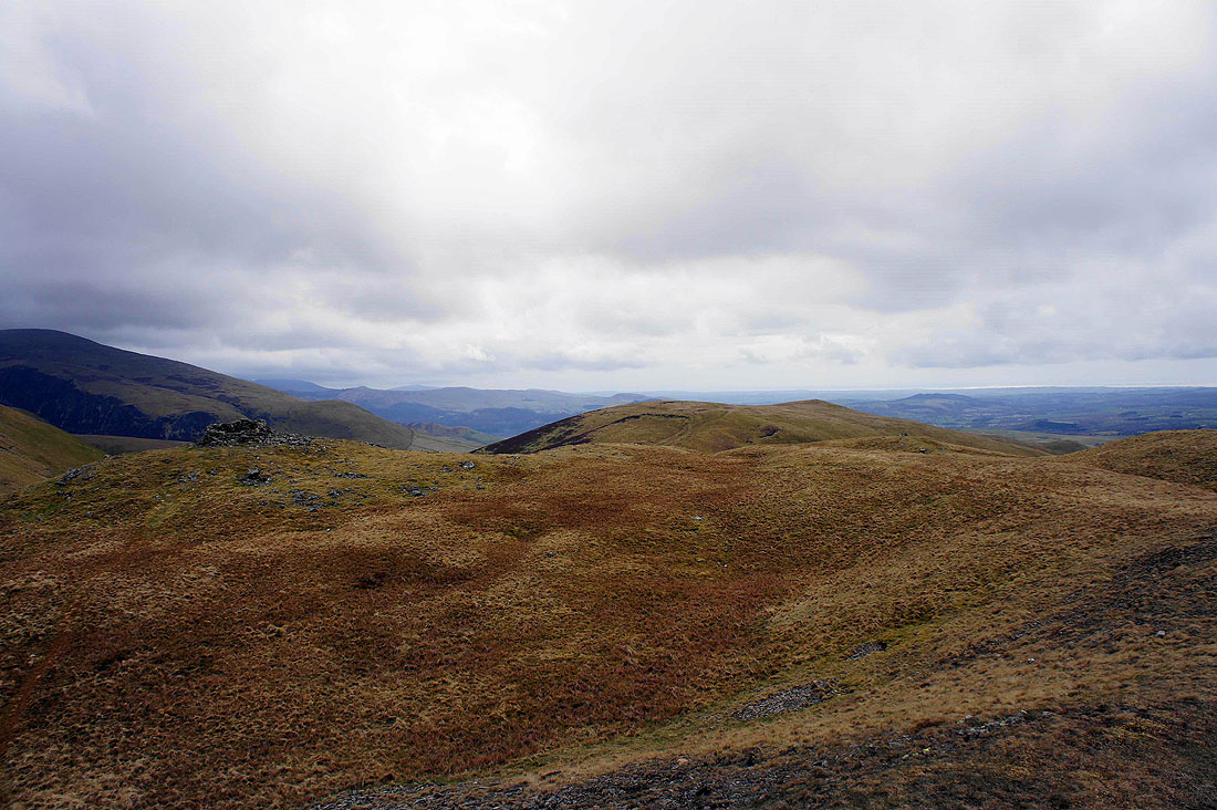
High Pike and Carrock Fell from Great Sca Fell
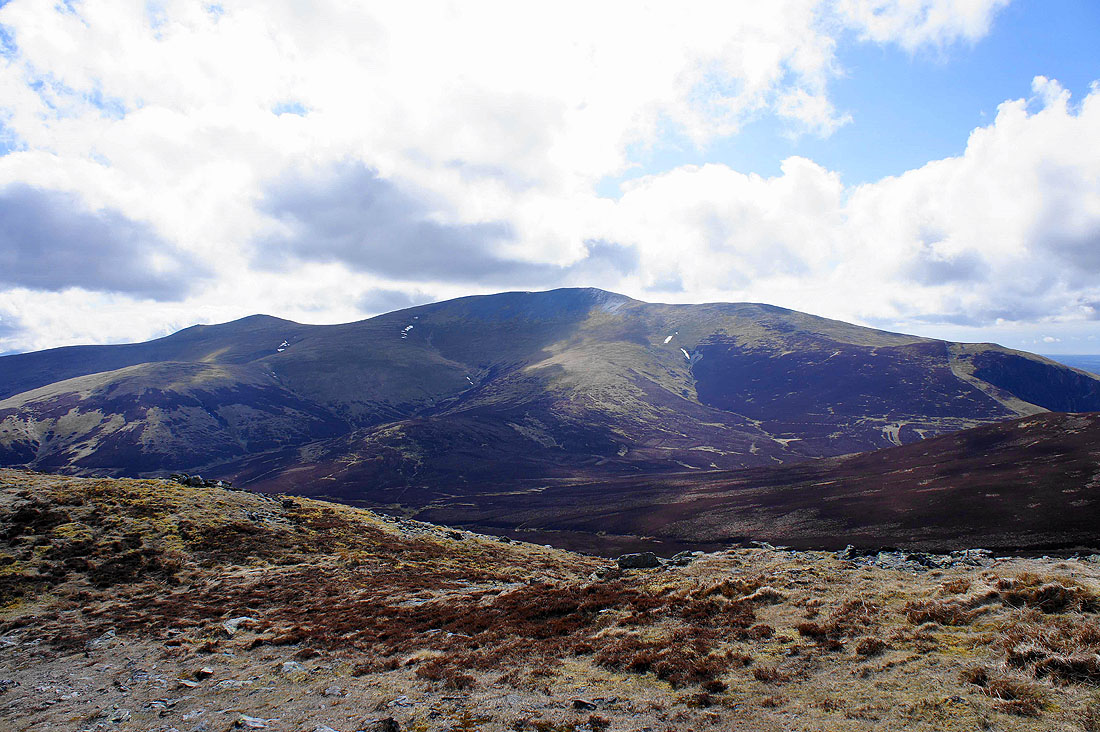
Skiddaw Little Man, Skiddaw and Bakestall
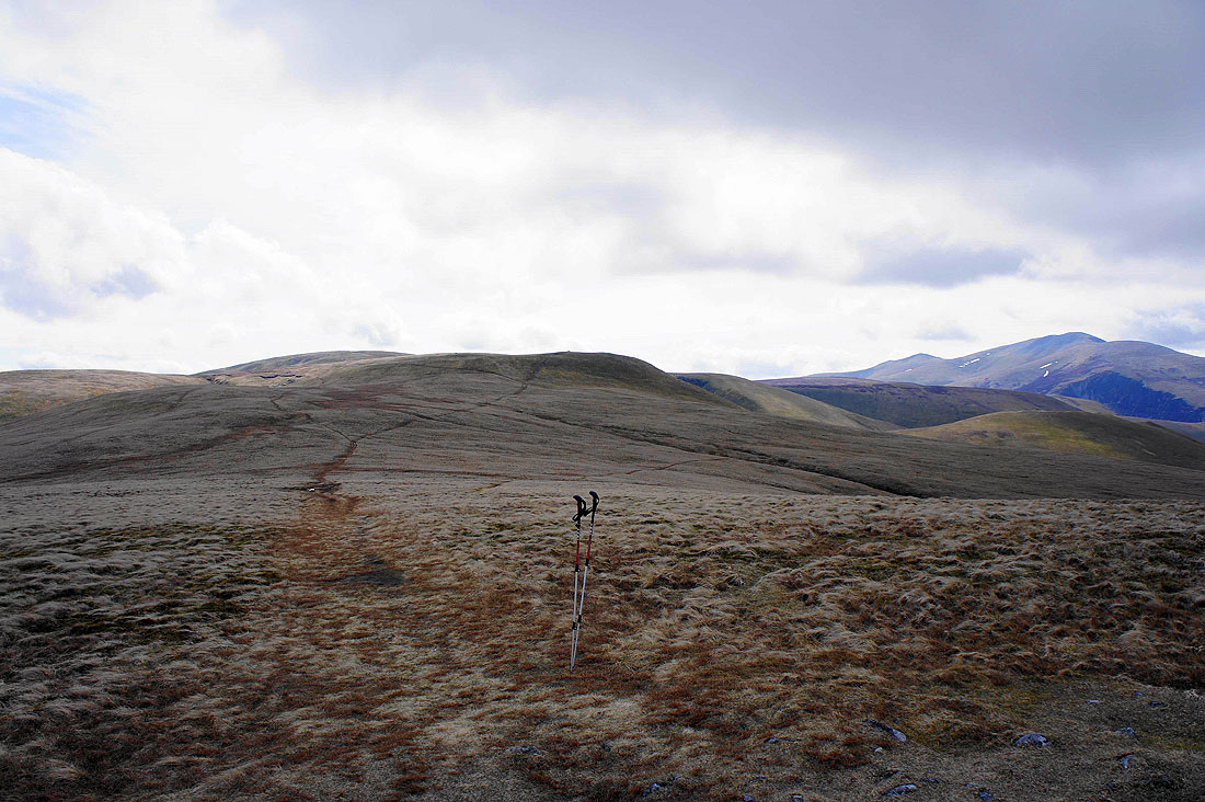
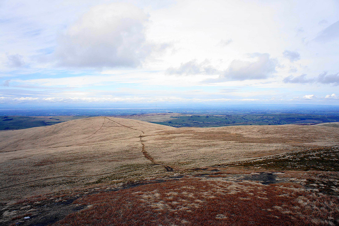
A steepish descent from Great Sca Fell to Meal Fell
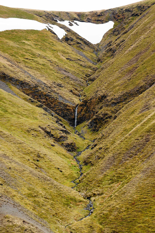
A waterfall in one of the two becks that become Frozenfell Gill
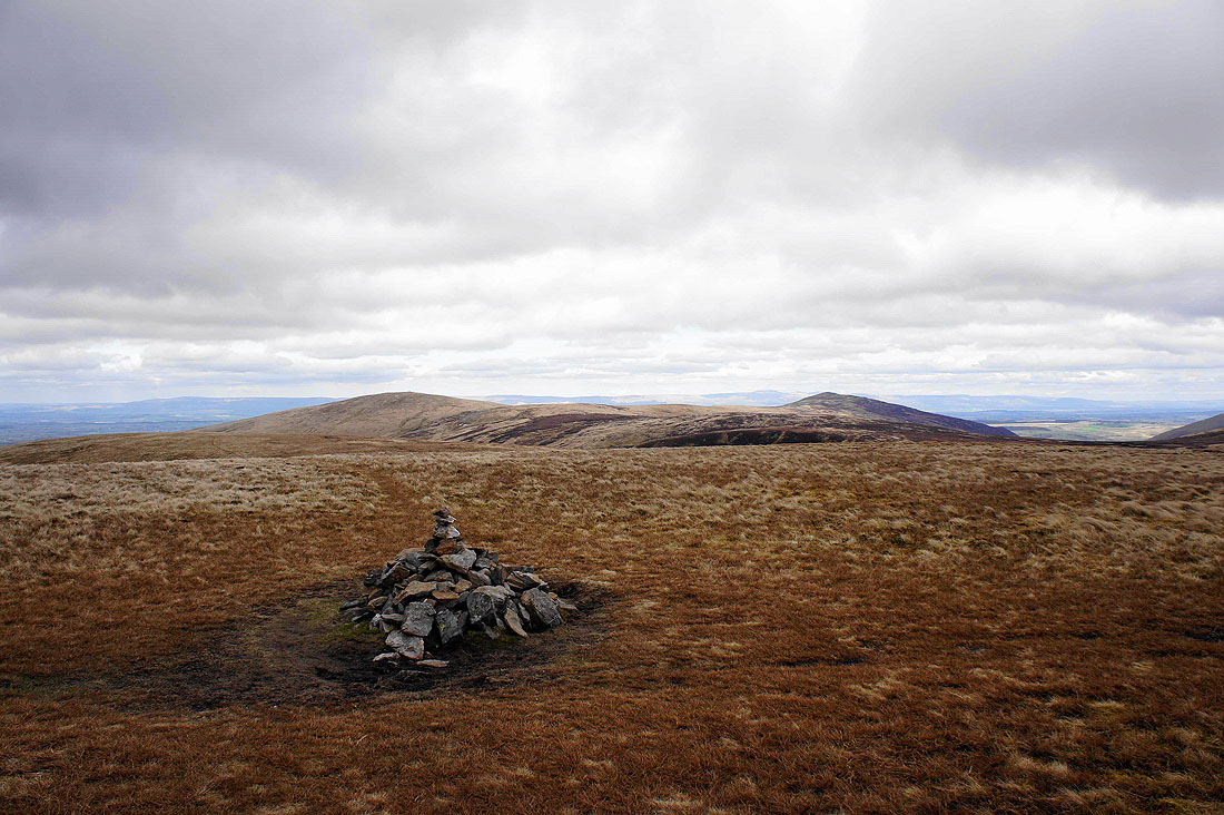
Little and Great Sca Fells from Meal Fell
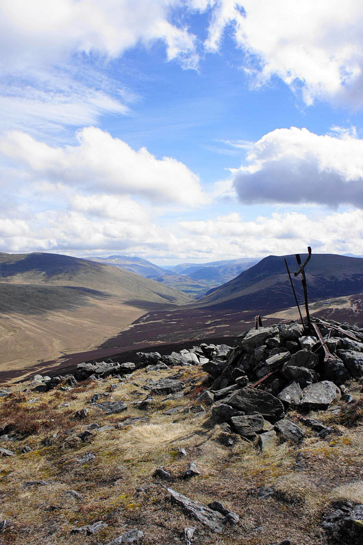
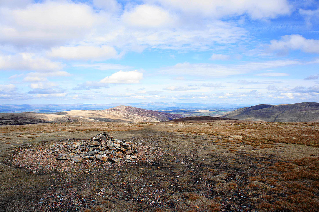
The summit of Meal Fell
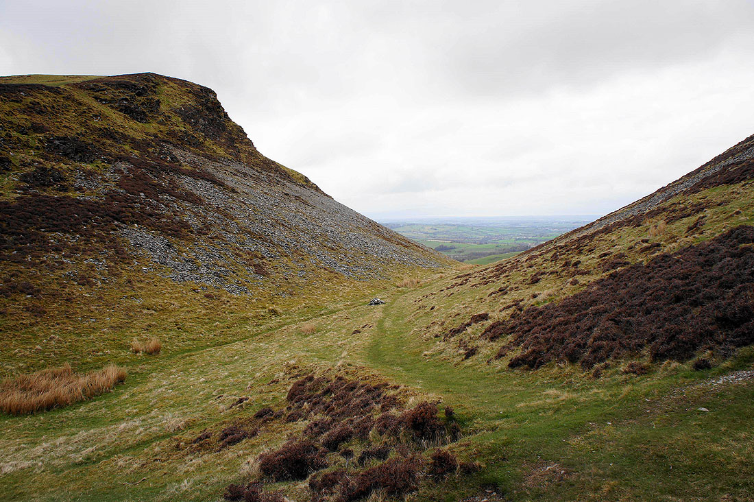
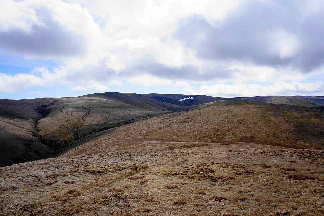
Trusmadoor. A gateway through the fells.
Almost at the top of Great Cockup and I turn round to have a look back at the view. Meal Fell in front of Little and Great Sca Fells on the left with Frozen Fell on the right. The valley of Burntod Gill is below.
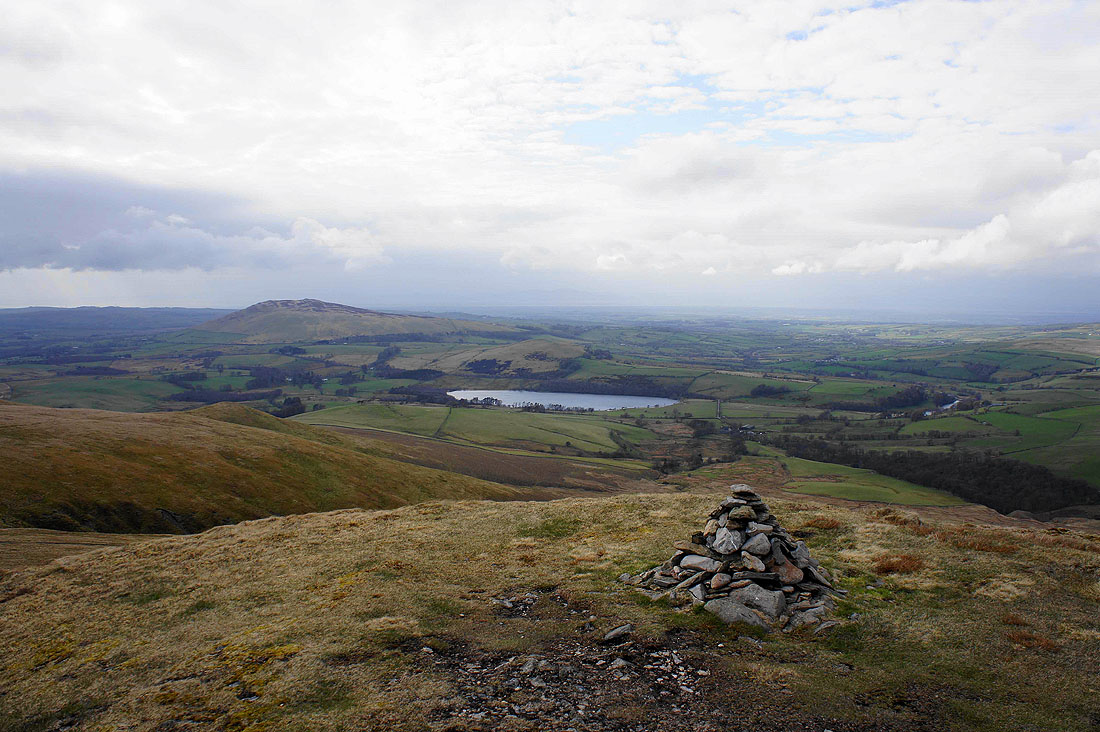
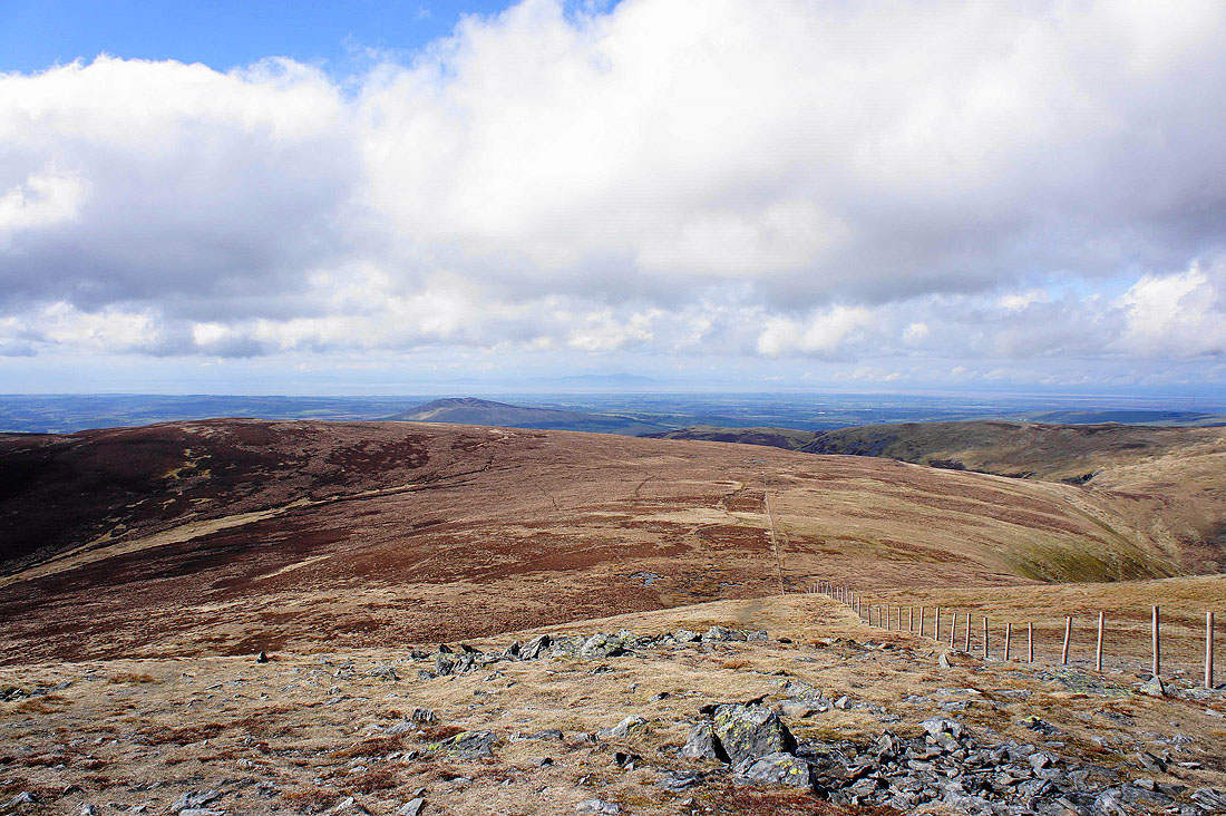
Binsey and Over Water from Great Cockup
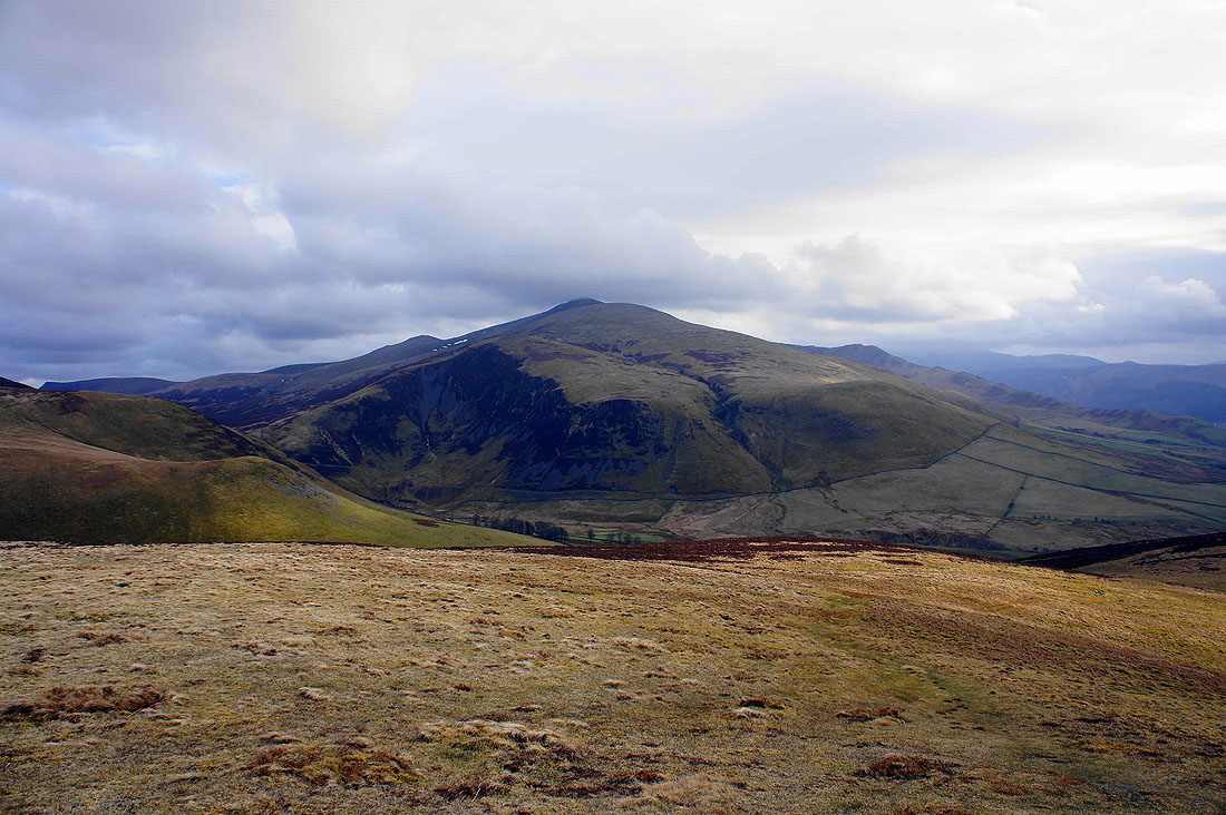
Skiddaw, Bakestall and Dead Crags
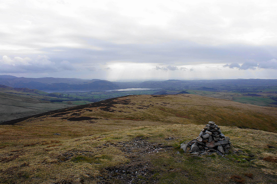
The sun glints off Bassenthwaite Lake
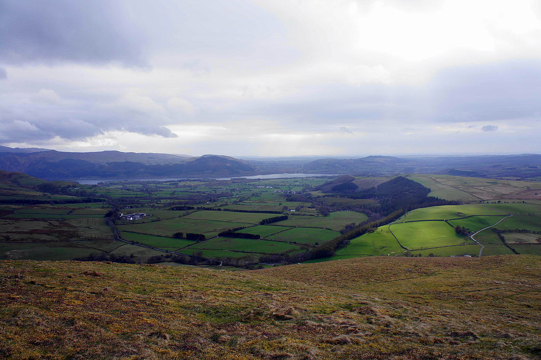
Heading down to find the bridleway that runs across the southern flank of the fell. Lord's Seat and Broom Fell are on the other side of Bassenthwaite Lake while the village of Bassenthwaite is below Park Wood on the right.
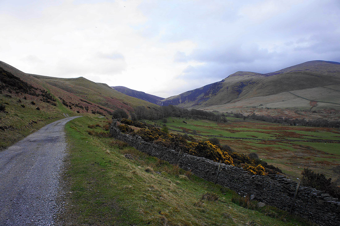
Looking up the valley of Dash Beck from the bridleway
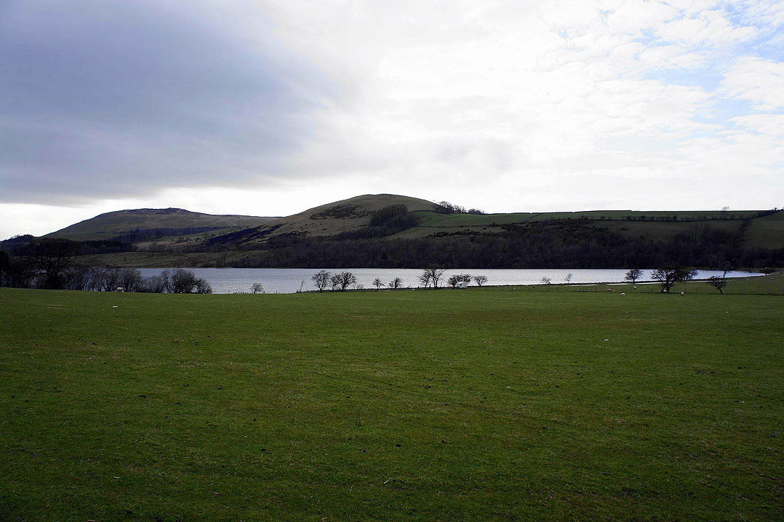
Back by Over Water with Latrigg (not the Keswick one) behind