4th May 2015 - Kinder Scout's northern edges
Walk Details
Distance walked: 9.4 miles
Total ascent: 1756 ft
OS map used: OL1 - The Peak District, Dark Peak area
Time taken: 7.5 hrs
Route description: Birchen Clough Bridge-Snake Plantations-Woodlands Valley-Fair Brook-Gate Side Clough-Seal Edge-Fairbrook Naze-The Edge-Snake Path-Snake Plantations-Birchen Clough Bridge
Beautiful weather for a bank holiday walk along Kinder Scout's northern edges and it was warm enough in the afternoon for me to go without a fleece. It's nearly four years since my only previous walk along them so I thought it was about time I reacquainted myself, I've walked other bits of Kinder Scout a few times in the intervening years. This is Kinder Scout's quiet side. Despite the good weather and it being a bank holiday I had the edges to myself for much of the time.
Before I set off I had to decide whether to walk down the bit of the A57 without a verge or avoid it by taking the path through the Snake Plantations. I chose the latter. So, from Birchen Clough Bridge I crossed the A57 and took the path into the conifers, down to the River Ashop and then back up to the A57 above the Snake Inn. Here there's a verge to use. I then followed the A57 past the Snake Inn to reach a path on the right down into the Woodlands Valley to Fair Brook. I crossed Fair Brook for a path that climbs across the hillside and then up Gate Side Clough to Seal Edge. The best part of the walk came next, along Seal Edge to Fairbrook Naze and then along The Edge. After descending from the western end of Kinder Scout I turned right and took the Snake Path down Ashop Clough. When I reached the Snake Plantations I then had to make my way back up through the conifers to Birchen Clough Bridge.
Route map
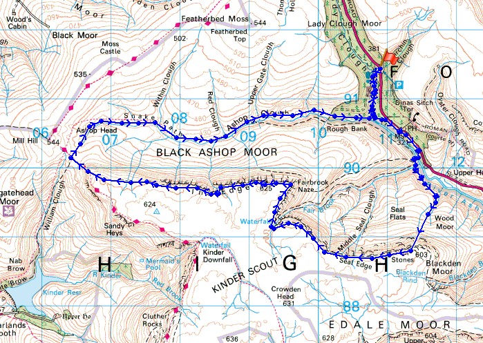
© Crown copyright. All rights reserved. License number PU 100034184.
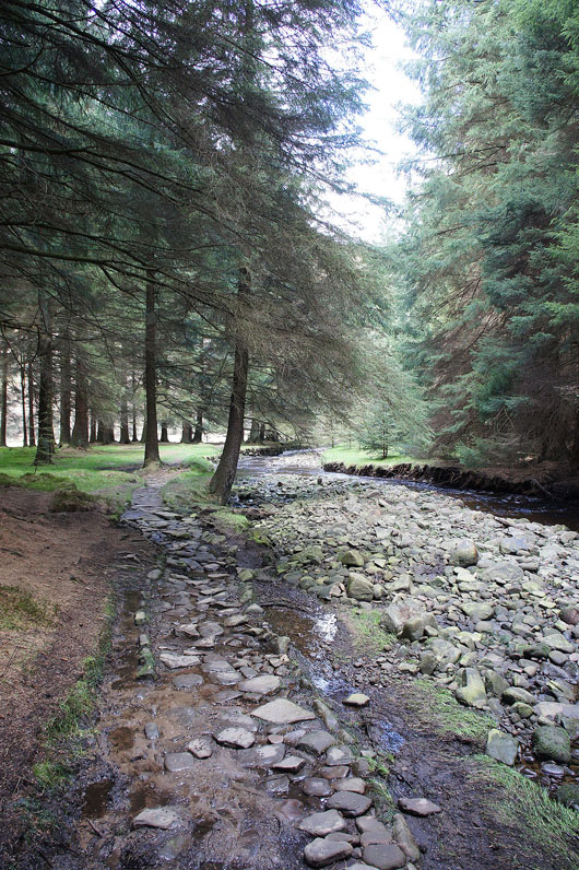
My walk starts with walking through the Snake Plantations
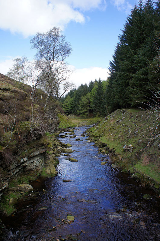
Across the River Ashop
and Fair Brook. That's Fairbrook Naze up there, I'll be walking along it later in the day.
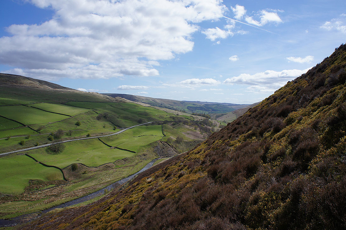
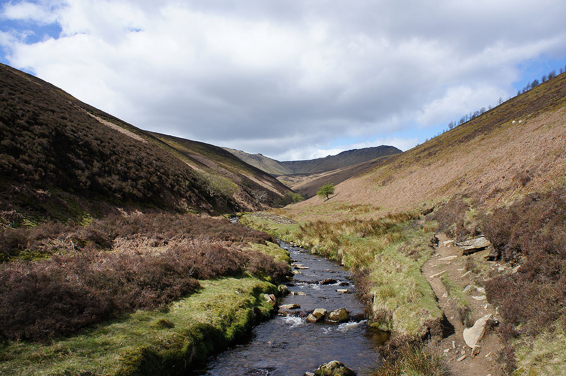
The Woodlands Valley. Looking towards Ladybower..
..and towards the Snake Pass
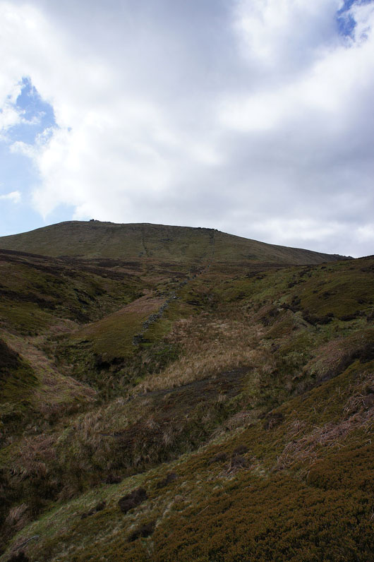
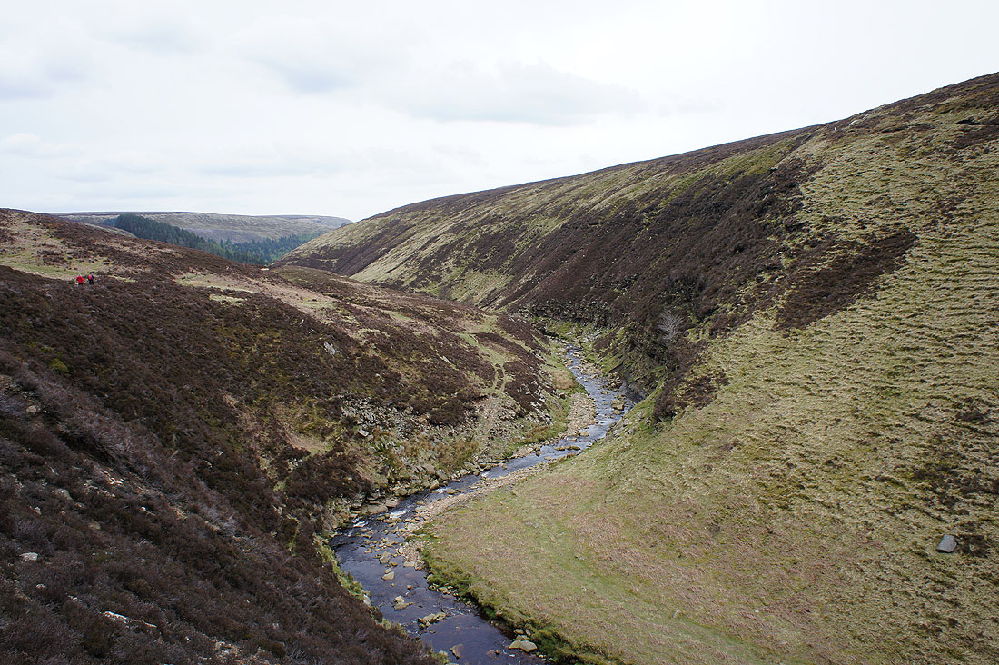
Most of the climbing of the day is done in one go, by Gate Side Clough up to Seal Edge
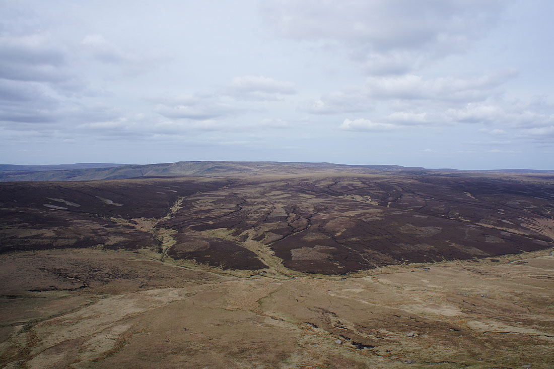
Great views as I gain height. Bleaklow in the distance with the Snake Plantations in Lady Clough.
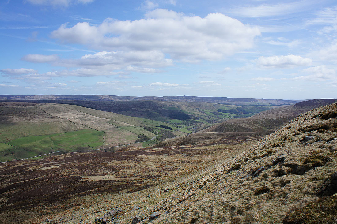
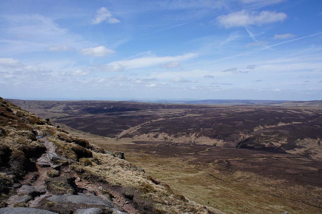
The Woodlands Valley below with Margery Hill and Derwent Edge in the distance
Great walking along Seal Edge to Fairbrook Naze to come
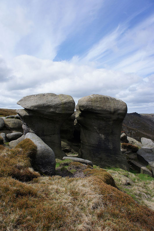
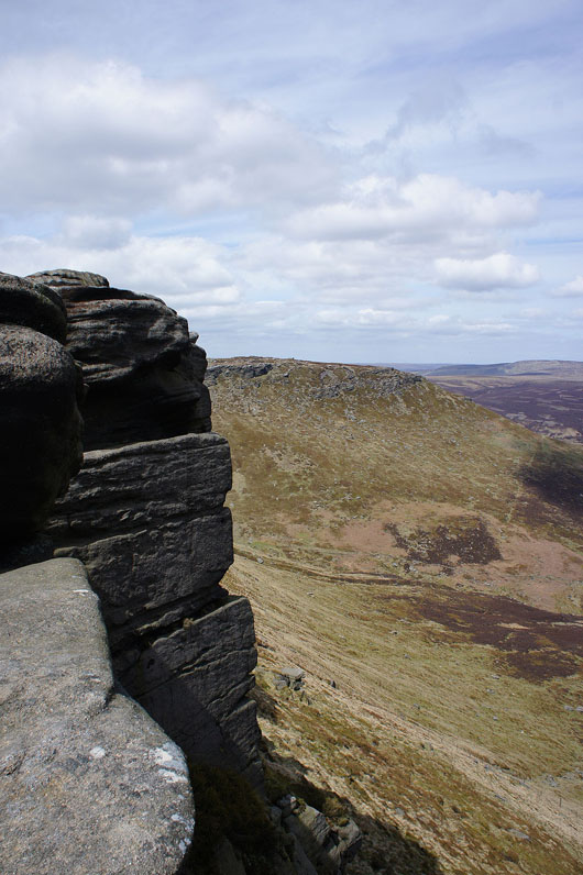
Eroded gritstone tors
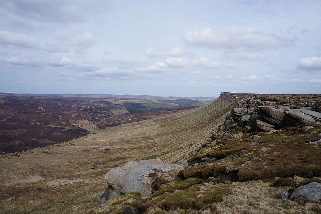
The prominent crag ahead is known as the Chinese Wall, a climbers crag
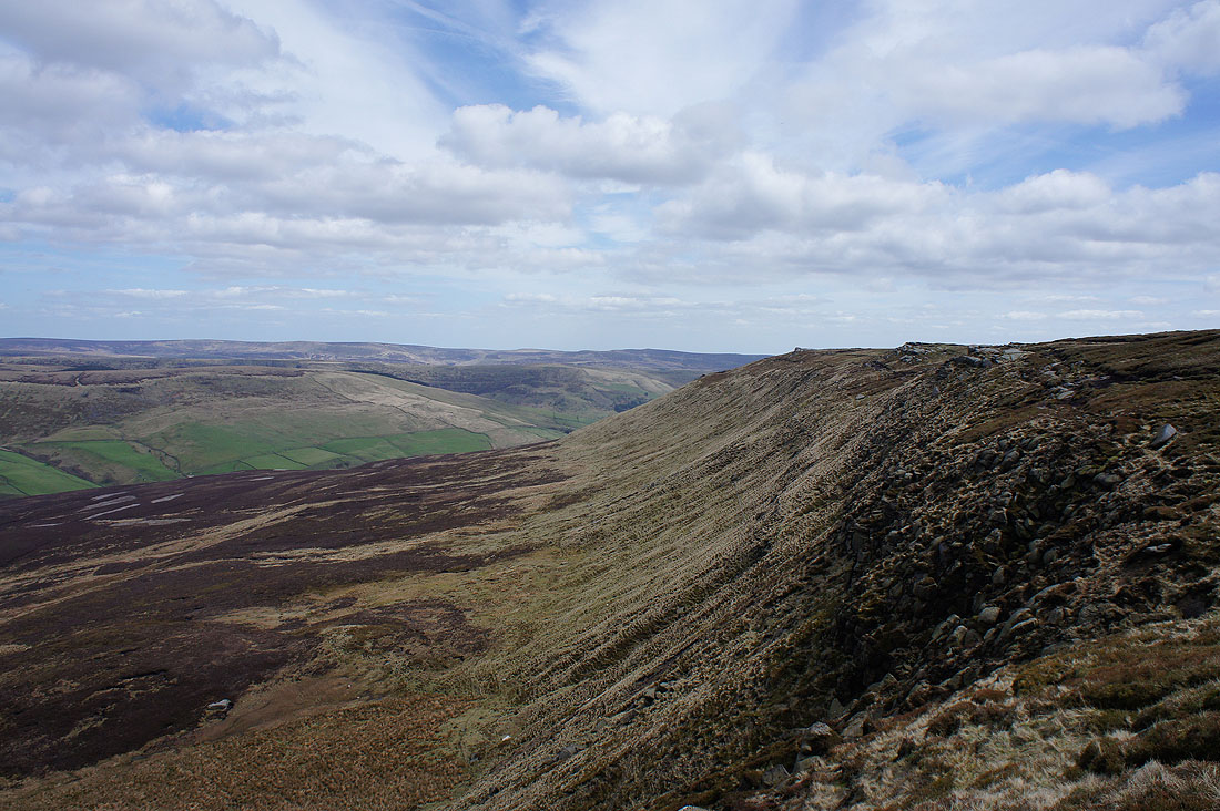
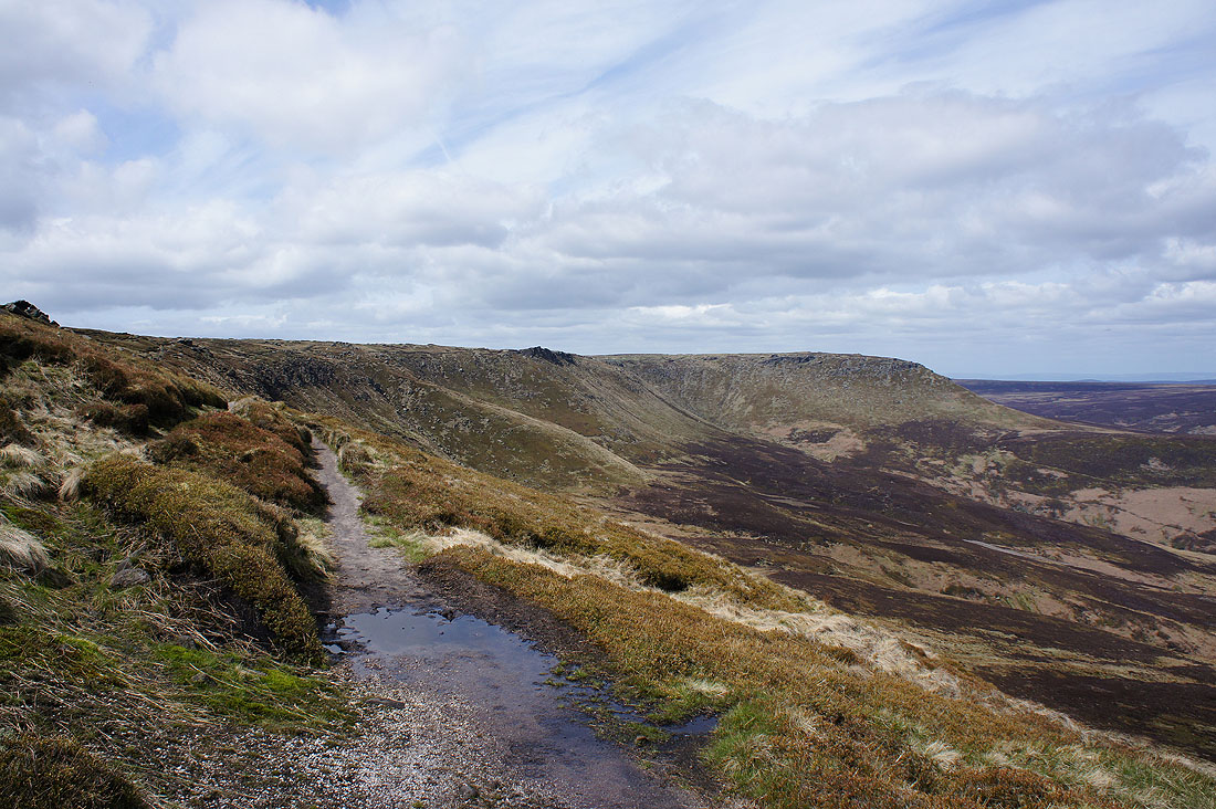
Looking back along Seal Edge
Fairbrook Naze from the top of the Chinese Wall
Crossing Fair Brook
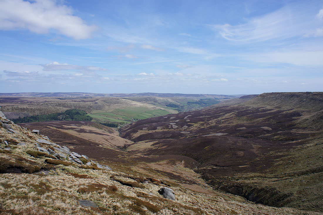
A great view as I make my way up to Fairbrook Naze. Margery Hill and Derwent Edge in the distance, the Woodlands Valley, Fair Brook, Seal Flats and Seal Edge nearby.
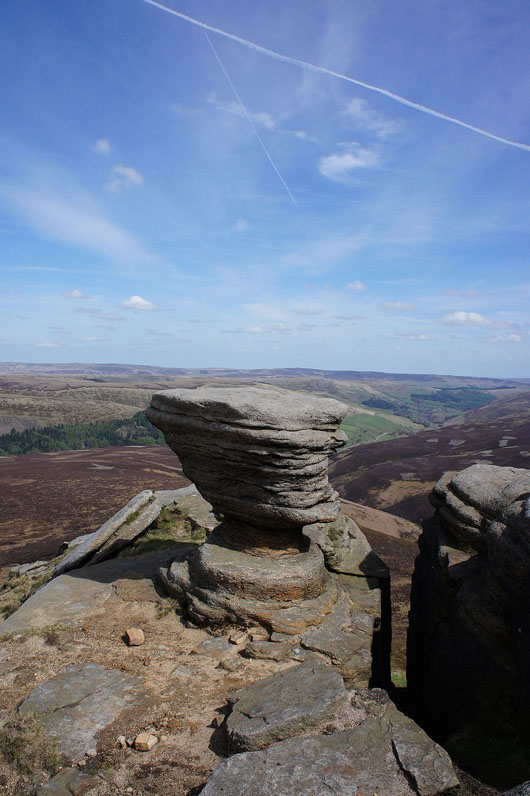
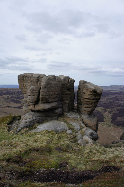
On Fairbrook Naze. This gritstone tor is the stand out feature. It reminds me of the Salt Cellar on Derwent Edge.
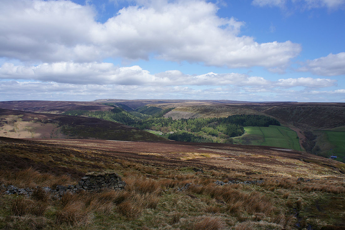
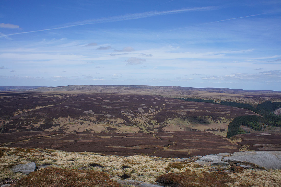
The Saddleworth Moors beyond nearby Black Ashop Moor
Bleaklow on the other side of the Snake Pass
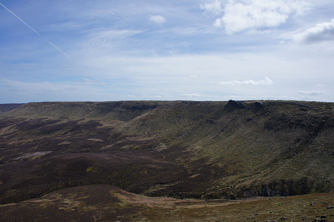
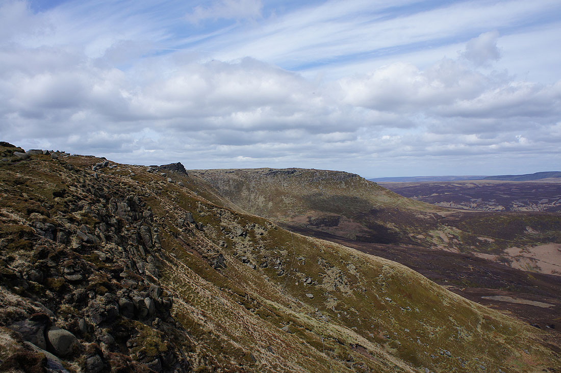
Seal Edge
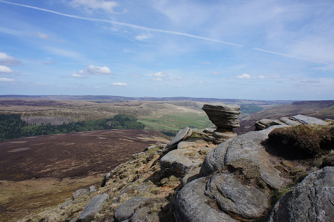
A last shot from Fairbrook Naze. Looking across Alport and Westend Moors to Margery Hill and Derwent Edge.
Just twenty minutes later as I set off along The Edge and high cloud has moved in and made the sunshine very hazy
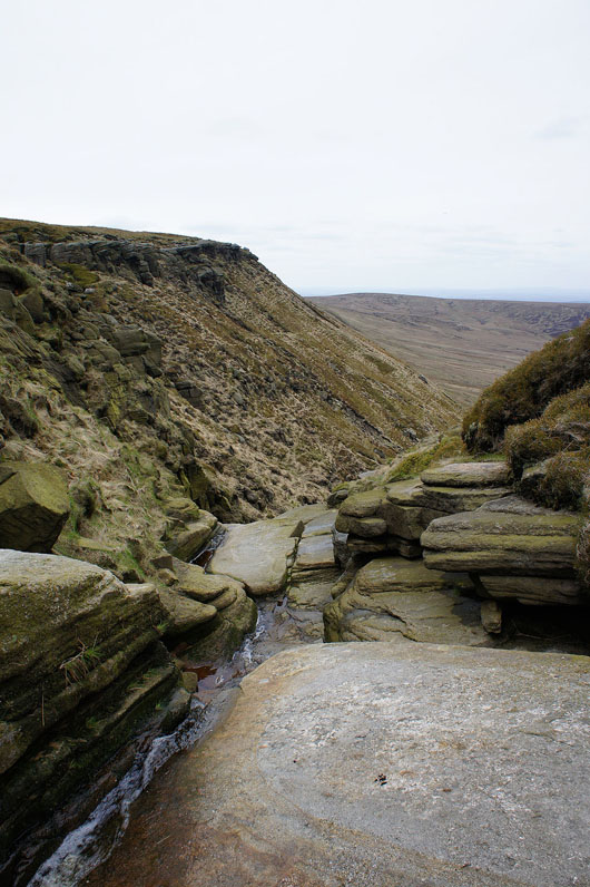
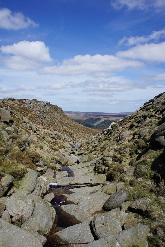
Nether Red Brook
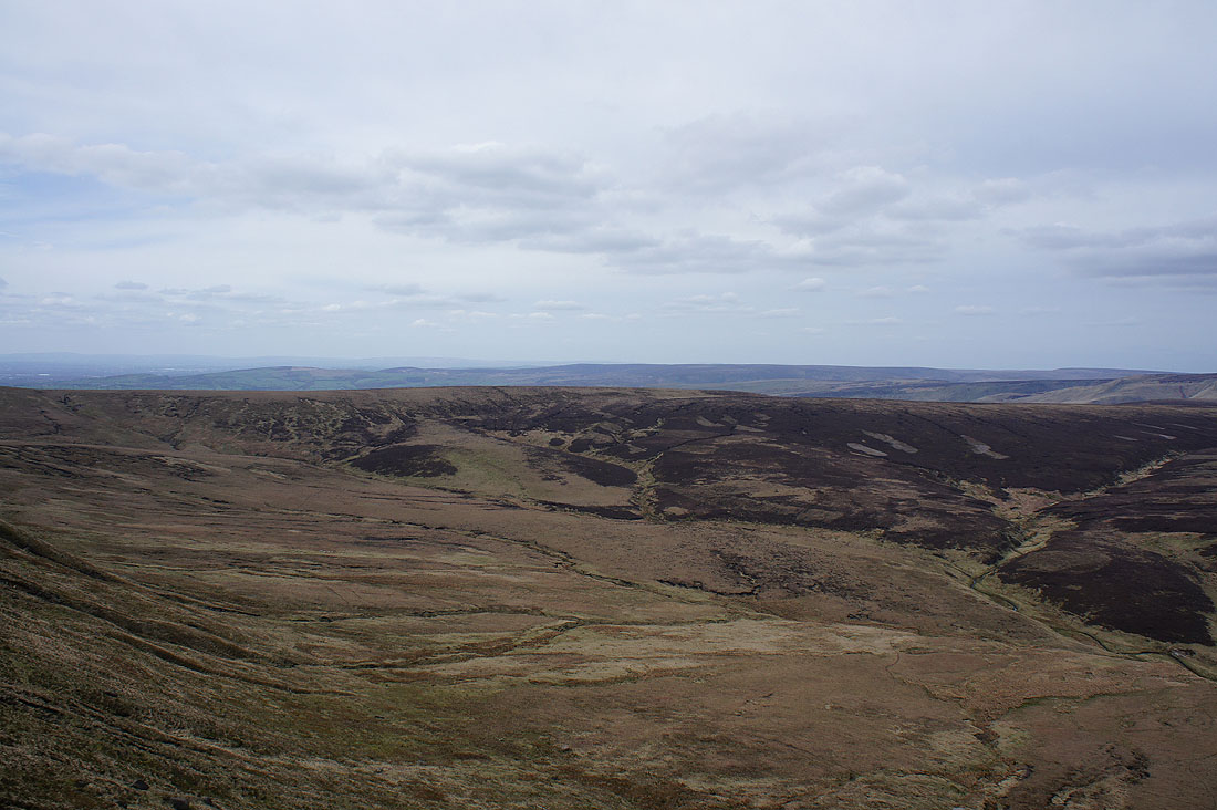
The Saddleworth Moors in the distance
The Boxing Glove Stones
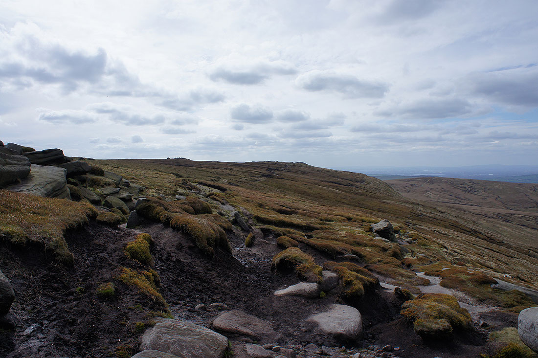
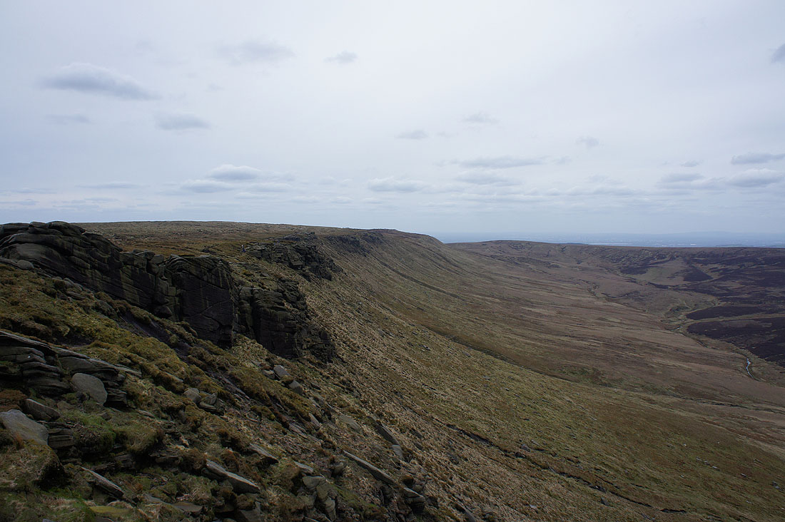
The gritstone outcrops peter out as I approach the end of The Edge
Looking back along The Edge
Bleaklow and Featherbed Top
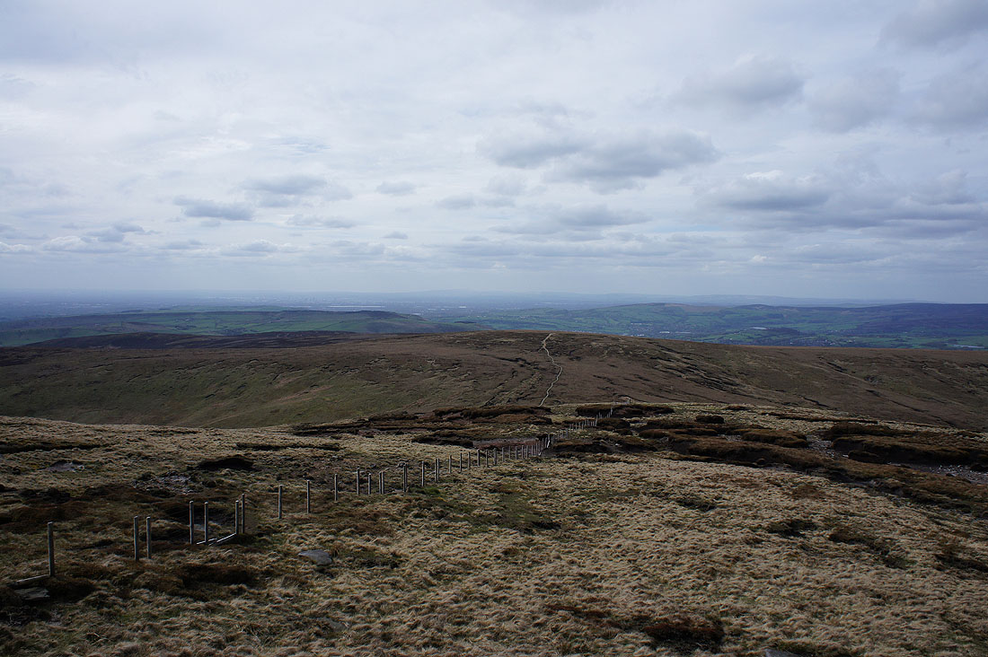
Mill Hill as I reach the western end of Kinder Scout. The flagged path of the Pennine Way heading up it stands out.
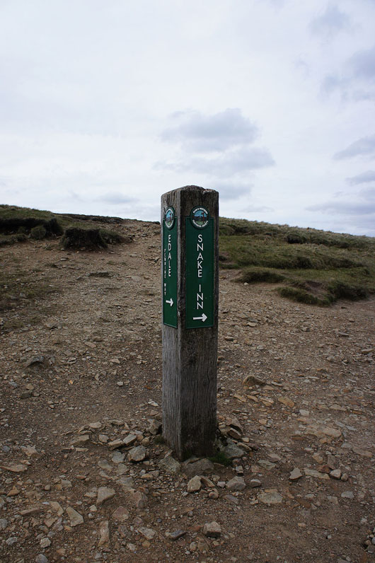
Which way? Turn right.
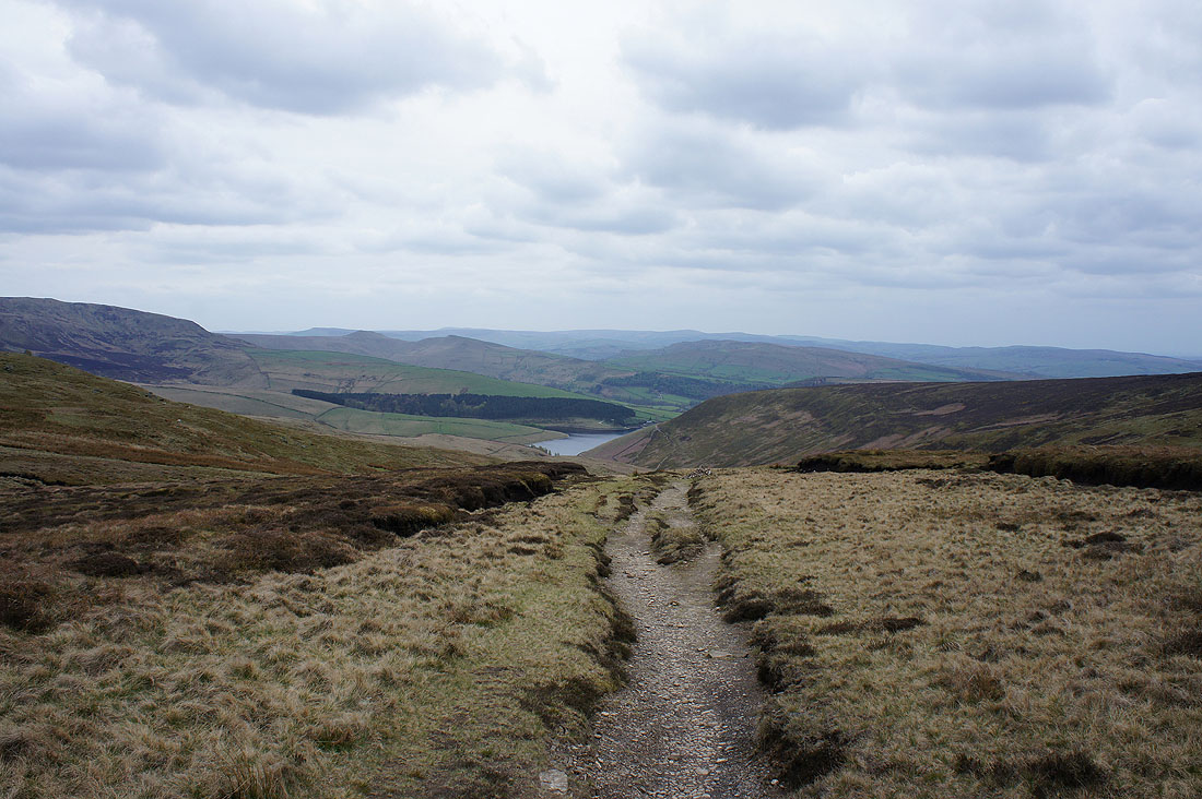
But first, a quick look down William Clough to Kinder Reservoir
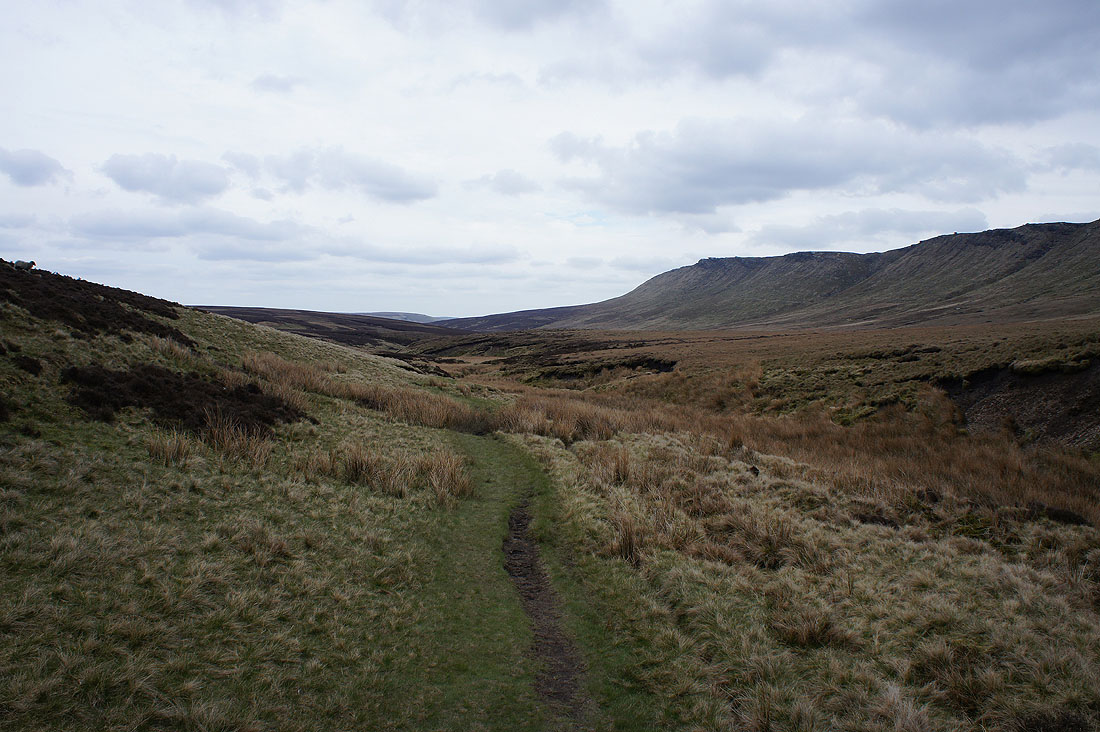
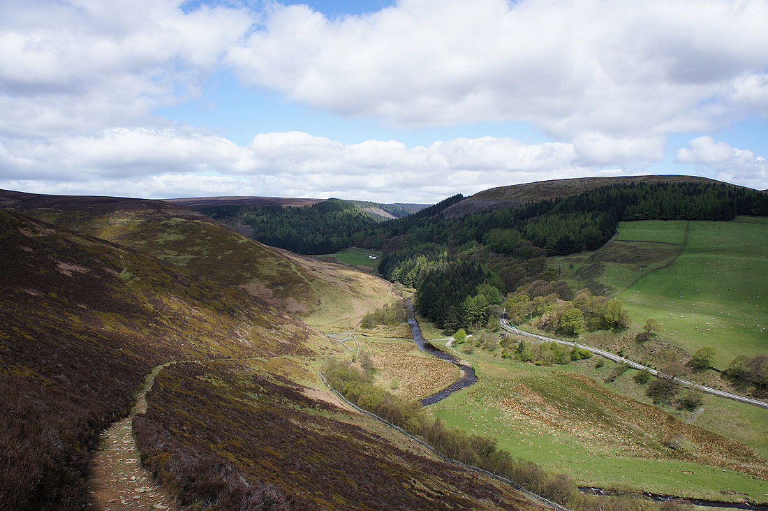
Following the Snake Path down Ashop Clough..
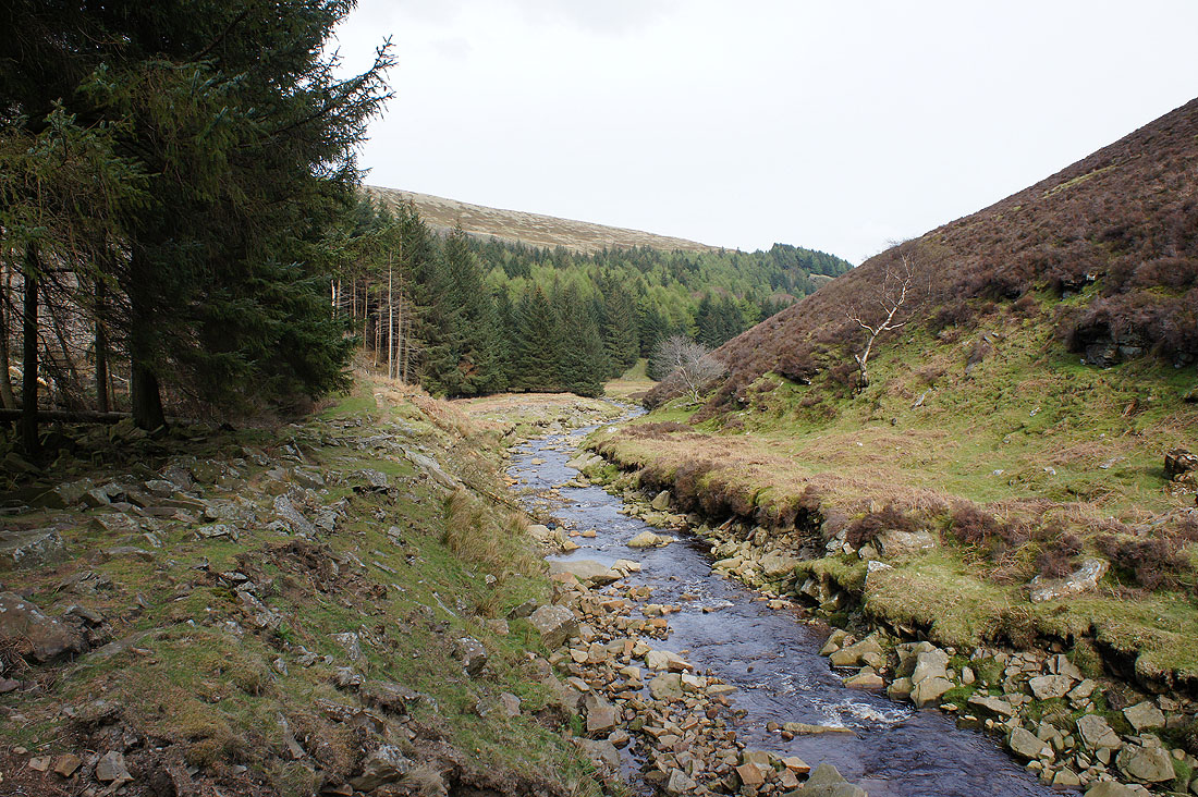
..to the Snake Plantations where I'll make my way back up to Birchen Clough Bridge