4th May 2019 - Roeburndale from Wray
Walk Details
Distance walked: 8.5 miles
Total ascent: 1304 ft
OS map used: OL41 - Forest of Bowland & Ribblesdale
Time taken: 6 hrs
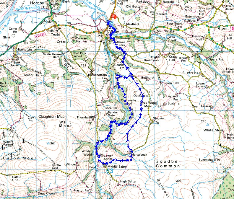
Route description: Wray-Wray Bridge-Pike Gill Wood-Alcocks Farm-Outhwaite Wood-Bowskill Wood-Barkin Gate Wood-Barkin Bridge-Lower Salter-Middle Salter-Goodber Beck-Harterbeck Farm-Wray Wood Moor-Alcocks Farm-Pike Gill Wood-Wray Bridge-Wray
The bluebell time of year has come around once again and today I decided to visit Outhwaite Wood in Roeburndale in the Forest of Bowland to get my fix. My only previous visit was in May 2016 and I was really impressed with the displays of bluebells on show. On this occasion I arrived in Wray and discovered that the Scarecrow Festival was on. I had heard of it but it never occurred to me that it was on this weekend. It meant that I had to park in a field next to the B6480 on the eastern edge of the village that had been set up as a car park. My route through Outhwaite Wood was different from last time, I kept to paths close to the top of the wood instead of ones lower down. Unfortunately I made a bit of a navigational error when I reached the River Roeburn at the bottom of the woods to cross it. In 2016 yellow flags on poles guided me up to the road on the western side of Roeburndale south of Back Farm. They weren't there this time and I couldn't see where to go, so I ended up trying to follow that route up to the road, though I knew I shouldn't. When I was walking down the road to cross Barkin Bridge I noticed a stile and sign for permissive access at the fence on the left on the northern side of the bridge. I'm guessing that this was where I should have ended up, probably by keeping close to the west bank of the River Roeburn. Aside from that issue the rest of the day was great, fantastic displays of bluebells and sunny spells for the rest of the walk once out of the woods, but distinctly cool compared to the warmth of Easter a couple of weeks ago.
After parking in the field set up as a car park on the eastern edge of Wray I walked east along the B6480 to Meal Bank Bridge where I took the path south by the Rivers Hindburn and Roeburn to Wray Bridge in Wray. I crossed the road and walked past the Bridge House Farm garden centre and then up the steep road opposite. I followed this uphill past Above Beck Farm to reach a bridleway on the right that headed down into Pike Gill Wood, across Hunt's Gill Beck and up to the road on the eastern side of Roeburndale at Alcocks Farm. I then turned left and after walking up the road I reached a public footpath on the right that heads down across a couple of fields and into Outhwaite Wood. I soon left the public footpath for the permissive paths. I took the one on the left that's reached more or less as soon as you enter the woods and I kept to this as it made its way south through Outhwaite Wood and Bowskill Wood. On exiting Bowskill Wood a route marked out with poles was followed down across a couple of fields into the woods by the River Roeburn. After crossing a footbridge over the river I think I should have followed it south to Barkin Bridge but didn't (as explained above). Once I reached the road on the western side of Roeburndale I followed it south up the valley over Barkin Bridge, past Lower Salter and up to Middle Salter, where I took a footpath on the left across fields to Goodber Beck and up to Harterbeck Farm. My route then took me across the fields above the eastern side of Roeburndale and Wray Wood Moor and past Outhwaite to the road on the eastern side of Roeburndale. From here I retraced my outbound route to where I was parked in Wray.
Route map
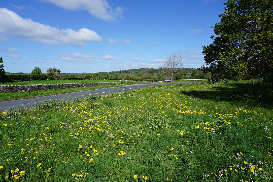
It's a beautiful morning as I join the footpath by the River Hindburn at Meal Bank Bridge outside Wray
The River Roeburn meets the River Hindburn just outside Wray
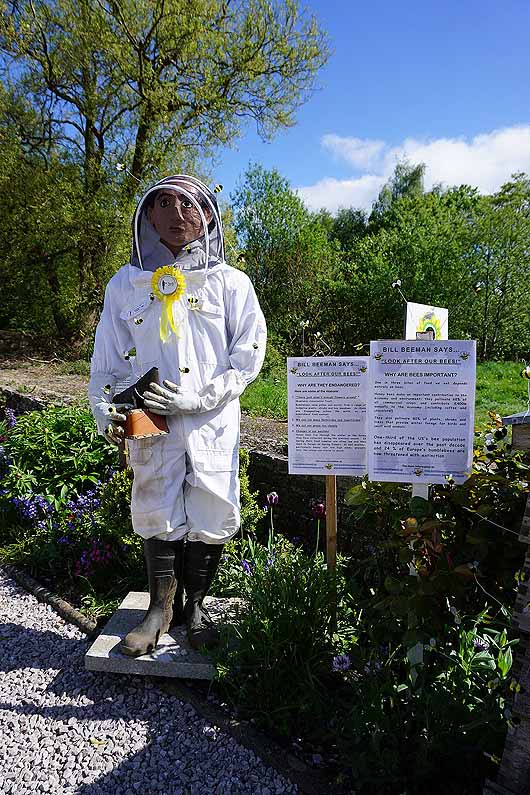
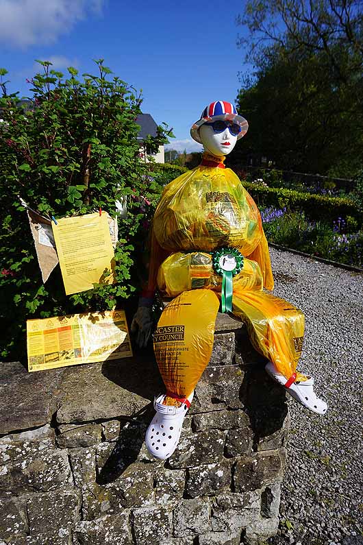
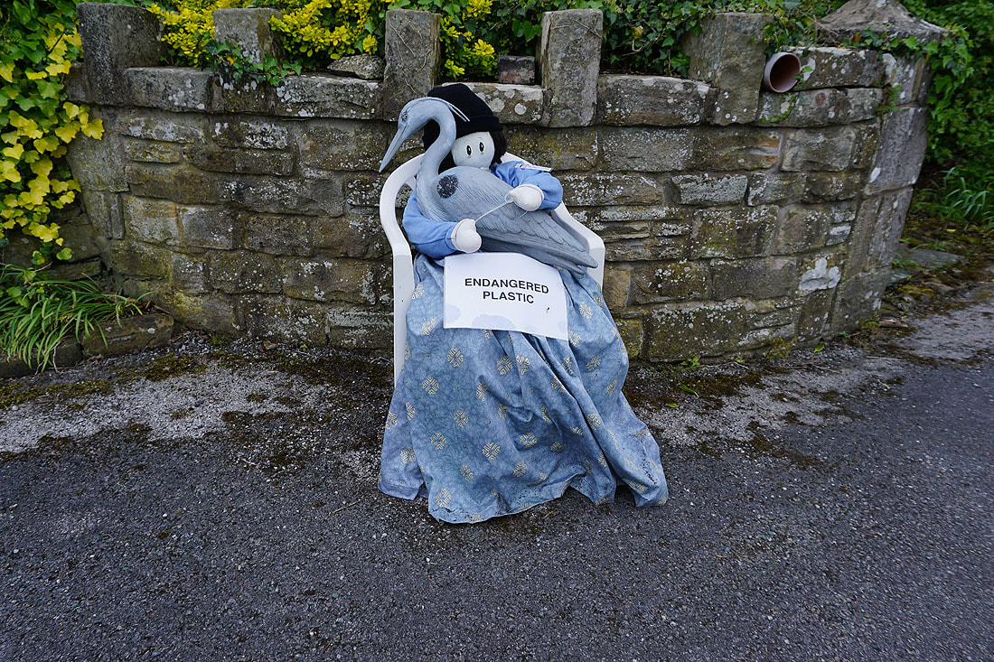
It's Scarecrow Festival time in Wray
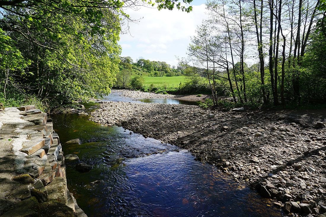
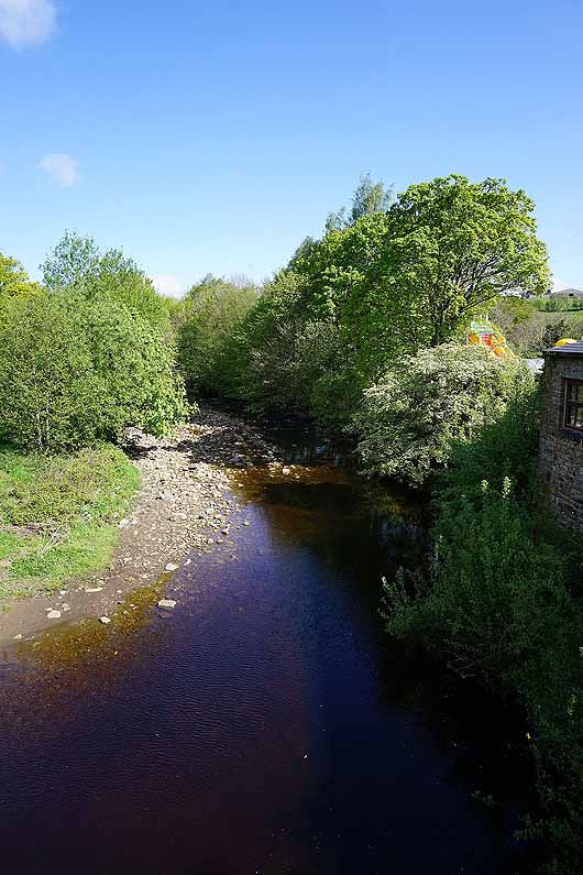
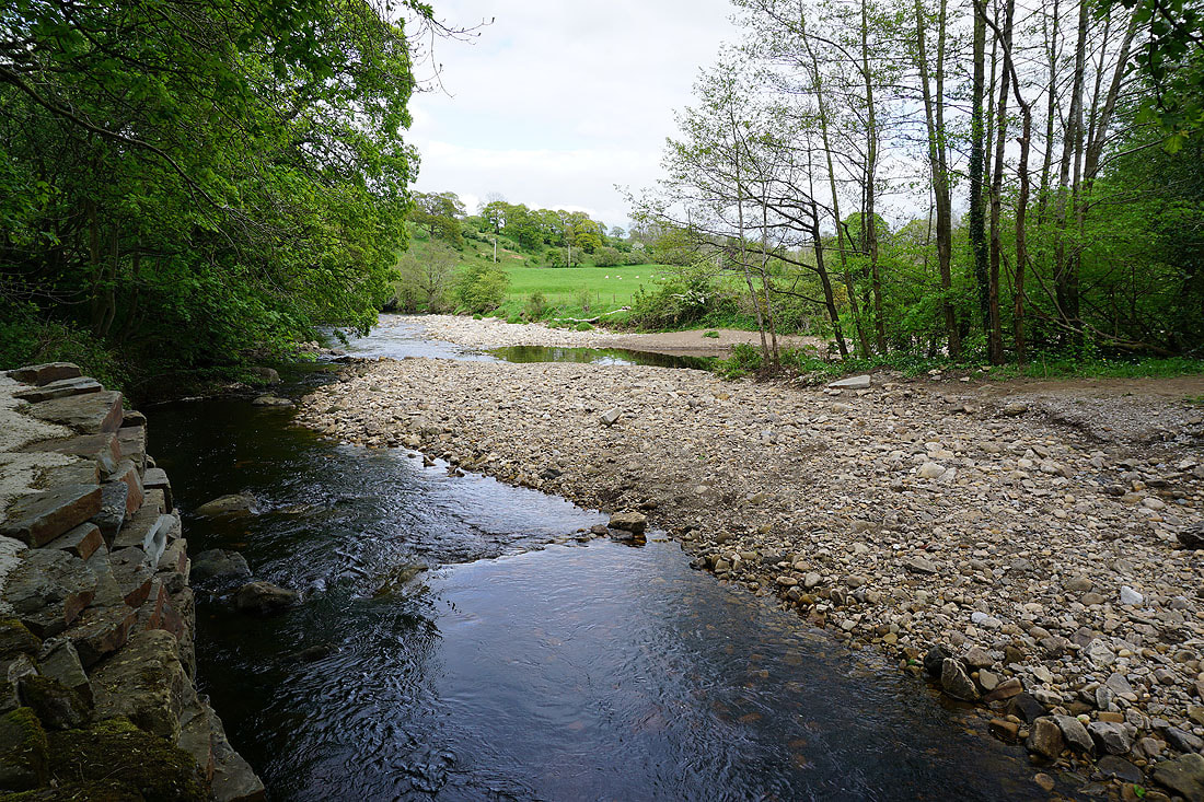
The River Roeburn from Wray Bridge
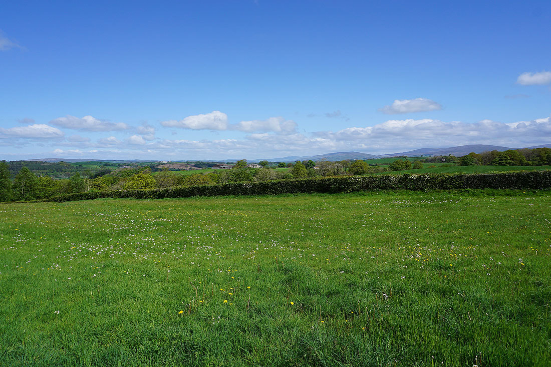
A fantastic view of the surrounding countryside looking towards Middleton Fell and Great Coum in the Yorkshire Dales from the path down to Pike Gill Wood
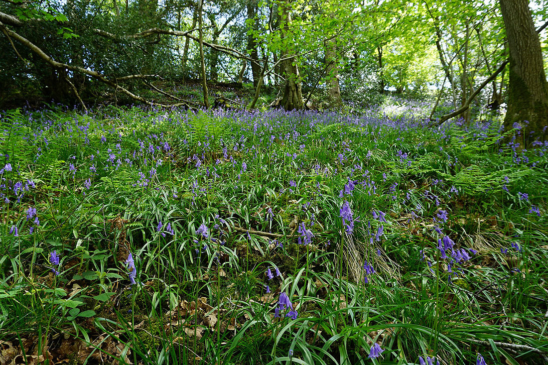
Bluebells in Pike Gill Wood
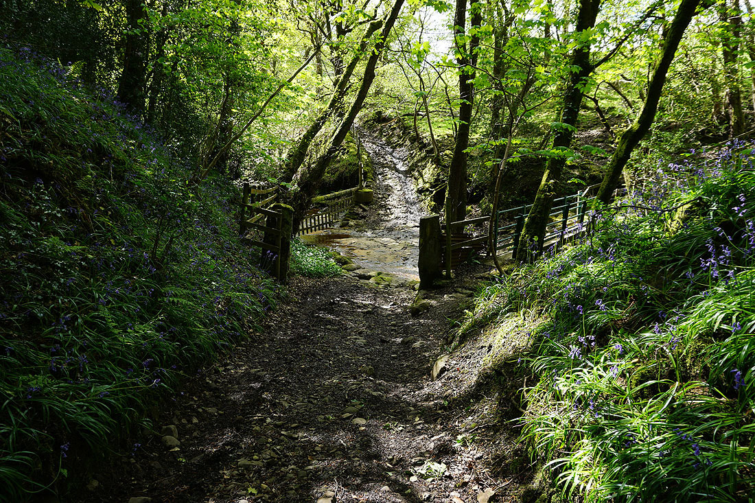
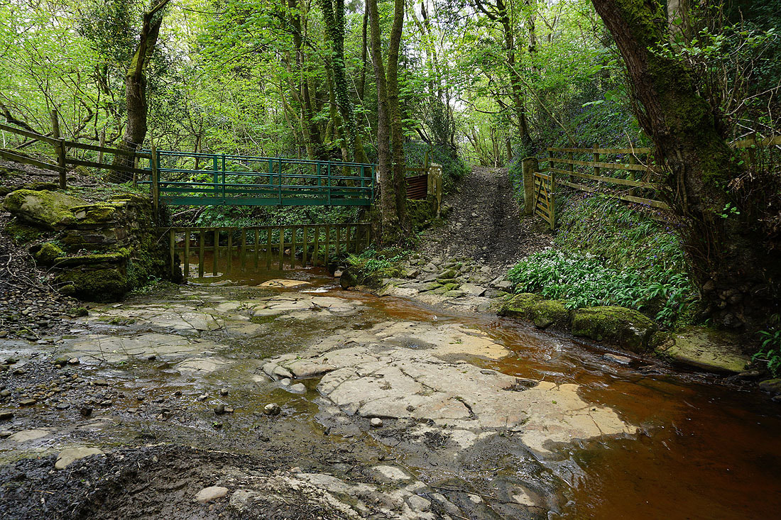
Crossing the ford over Hunt's Gill Beck
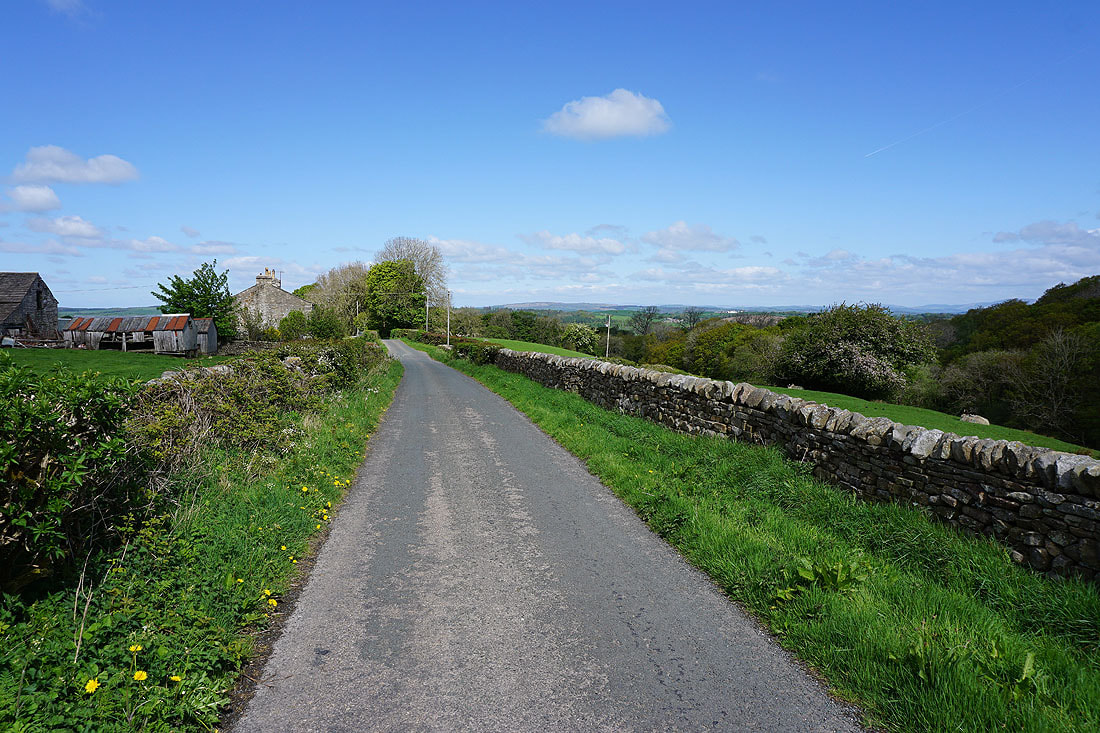
Looking back past Alcocks Farm from the road on the eastern side of Roeburndale
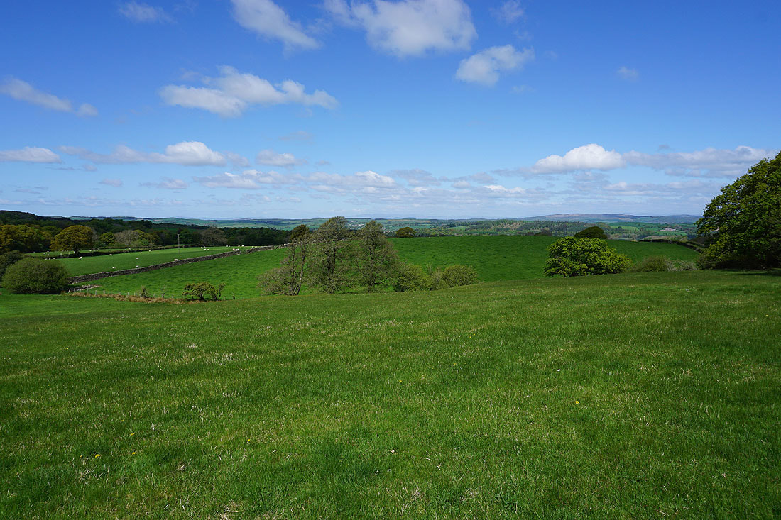
I can make out the Lake District fells in the distance as I follow the footpath down to Outhwaite Wood
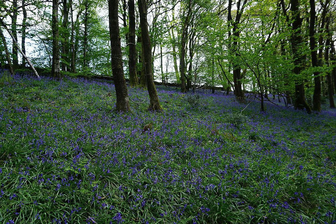
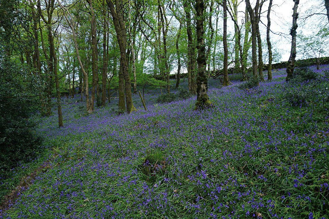
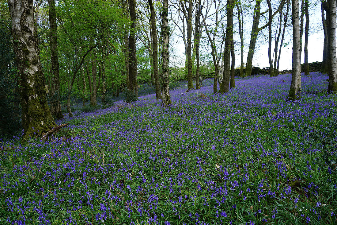
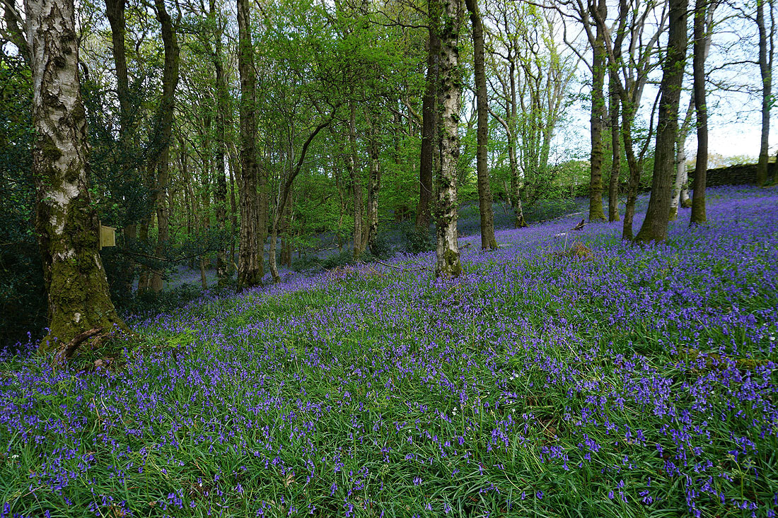
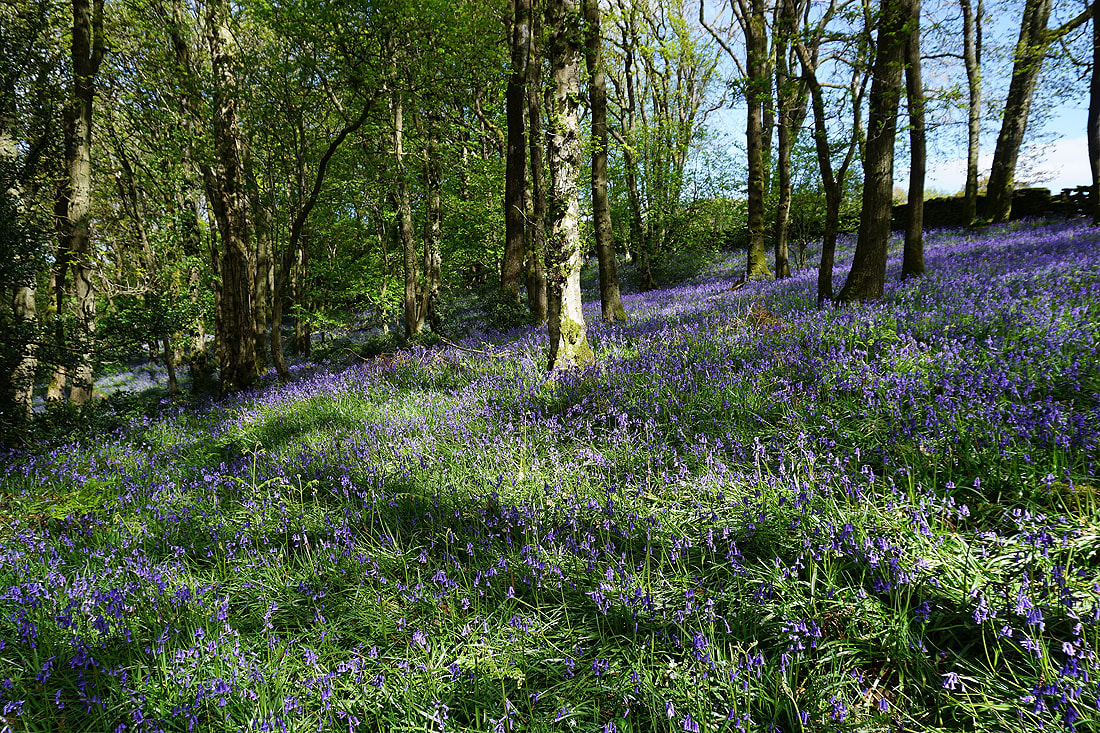
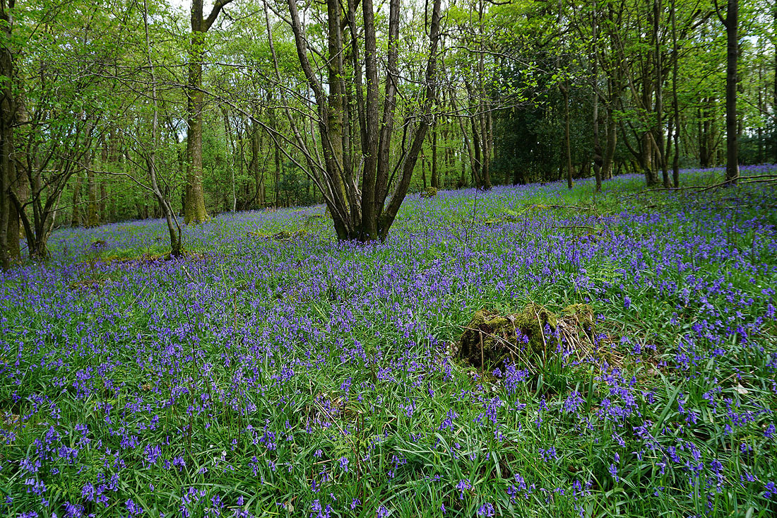
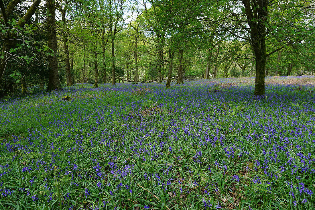
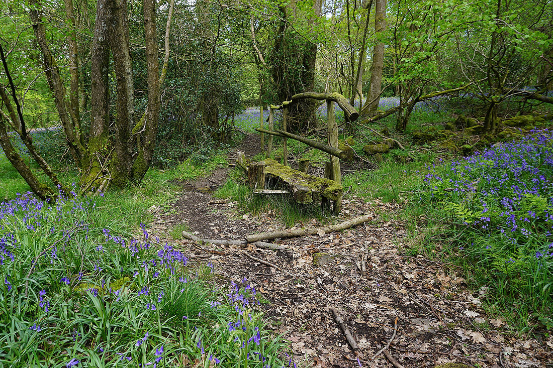
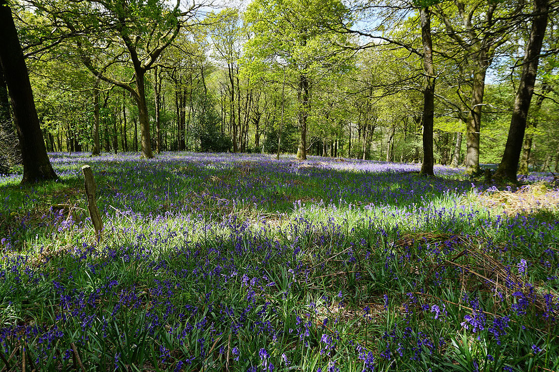
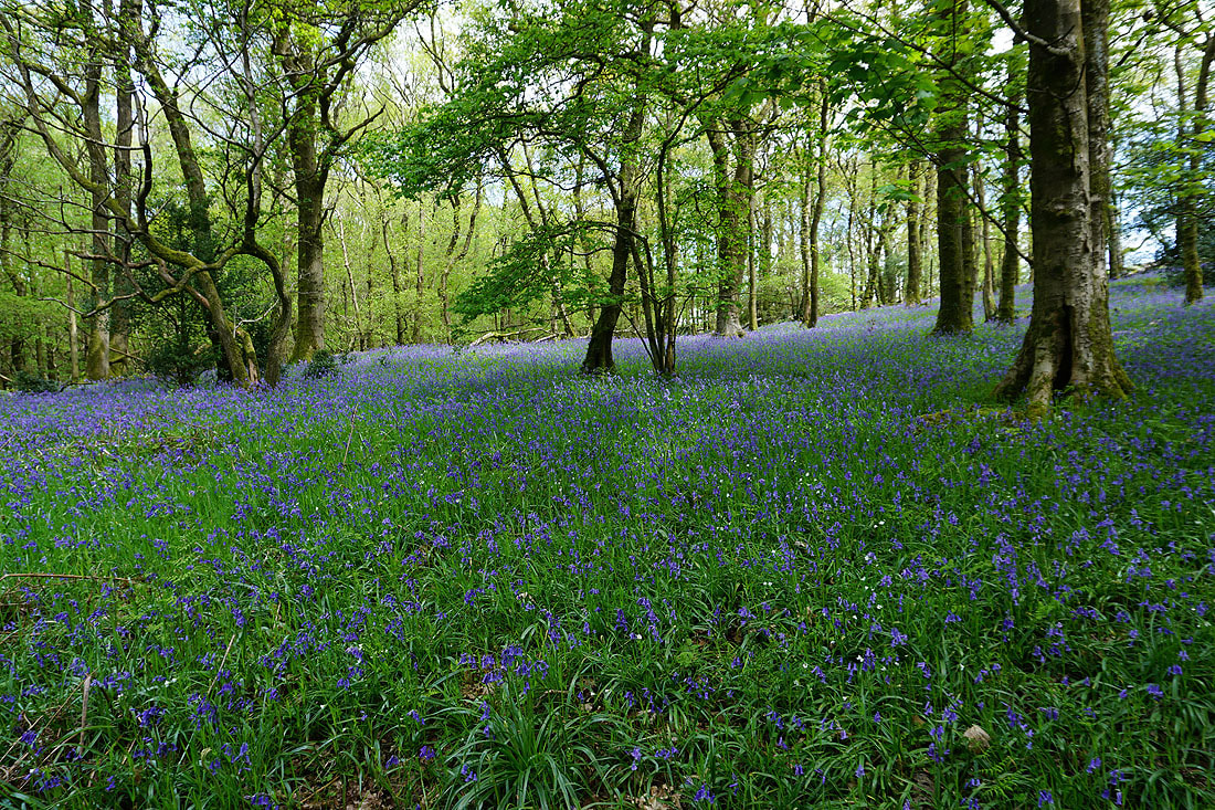
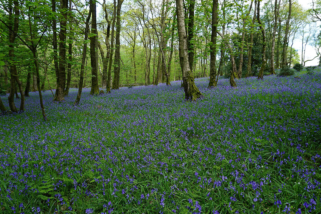
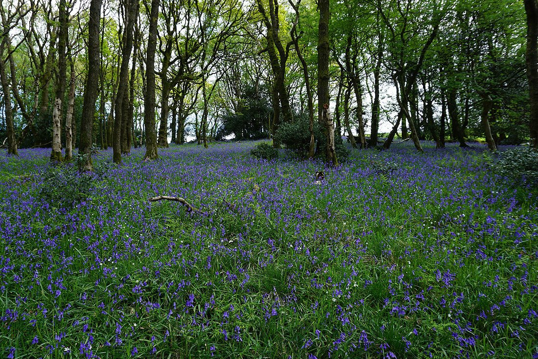
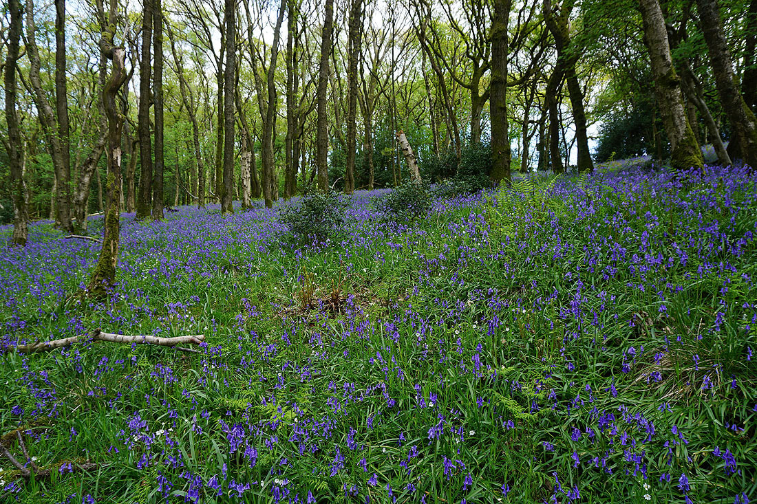
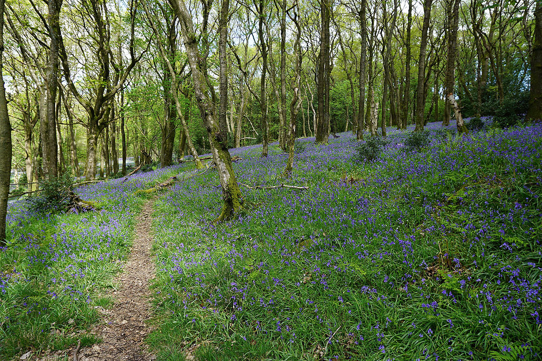
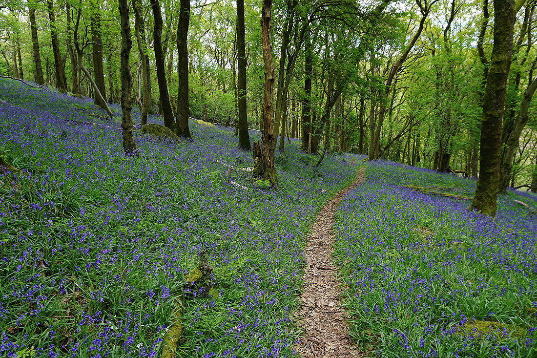
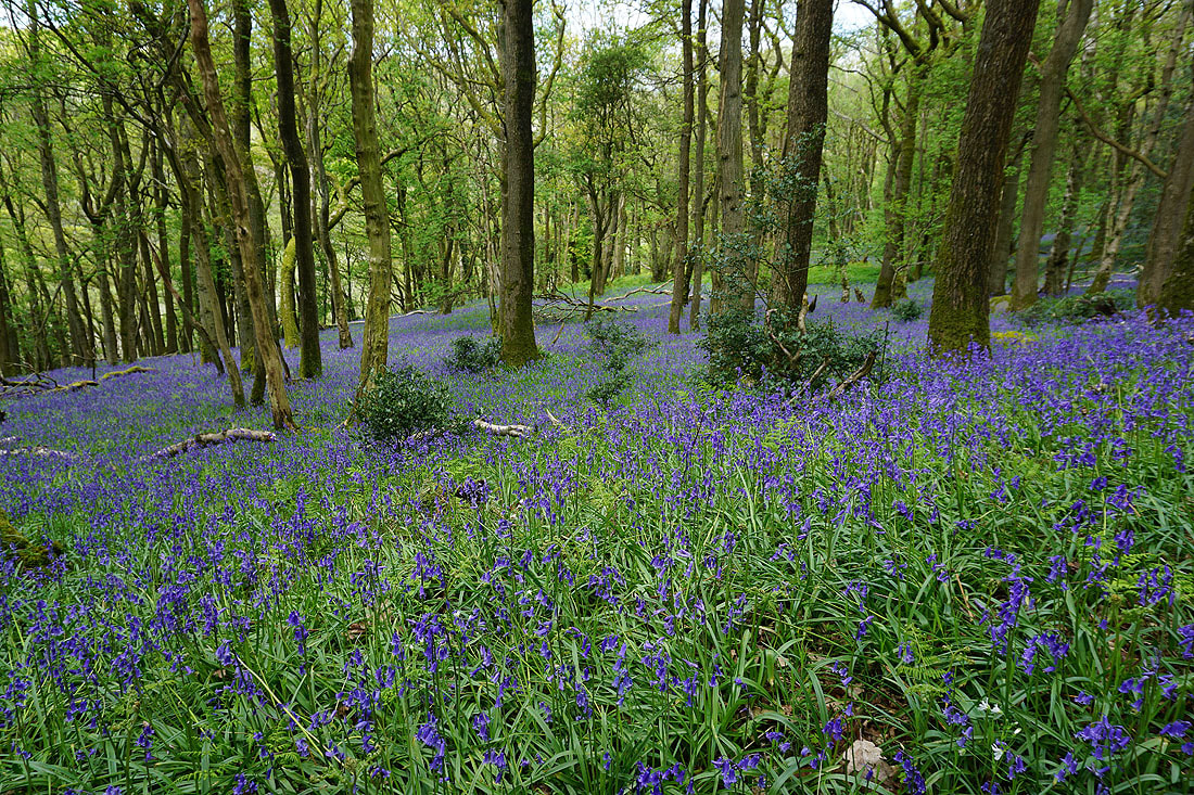
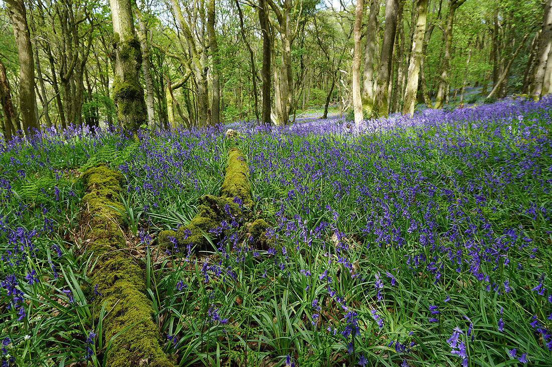
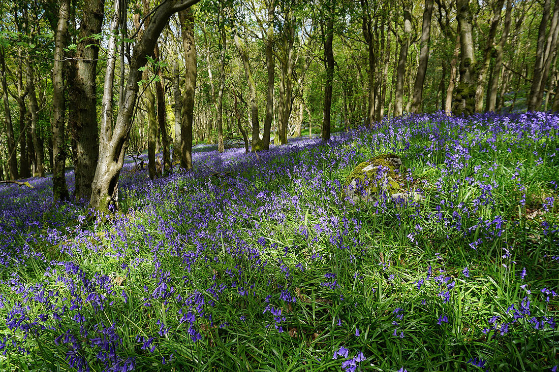
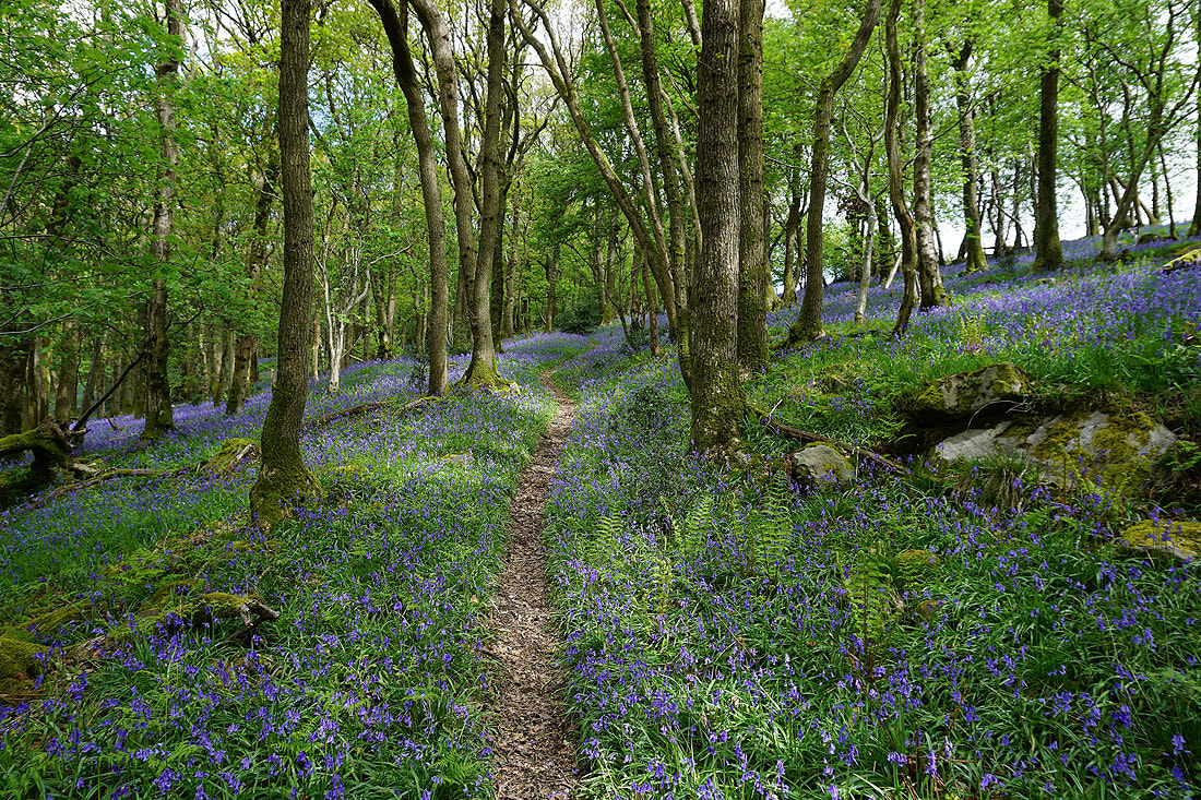
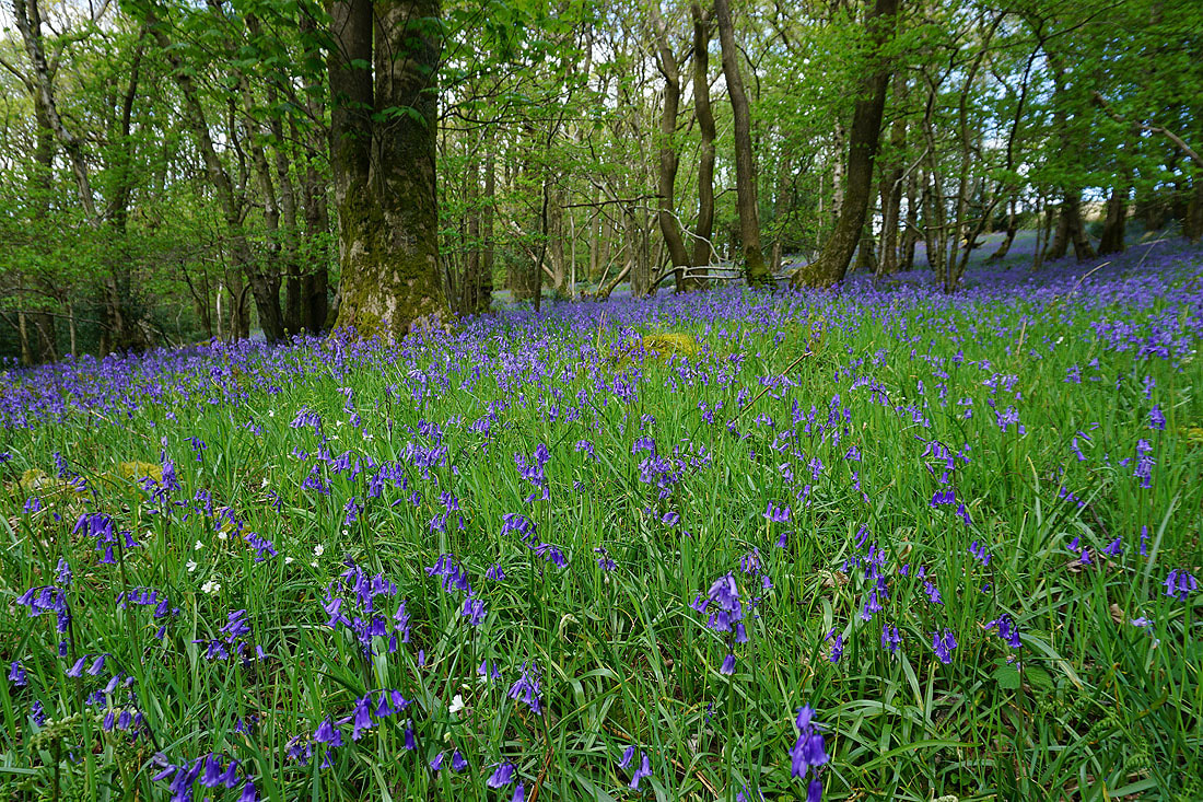
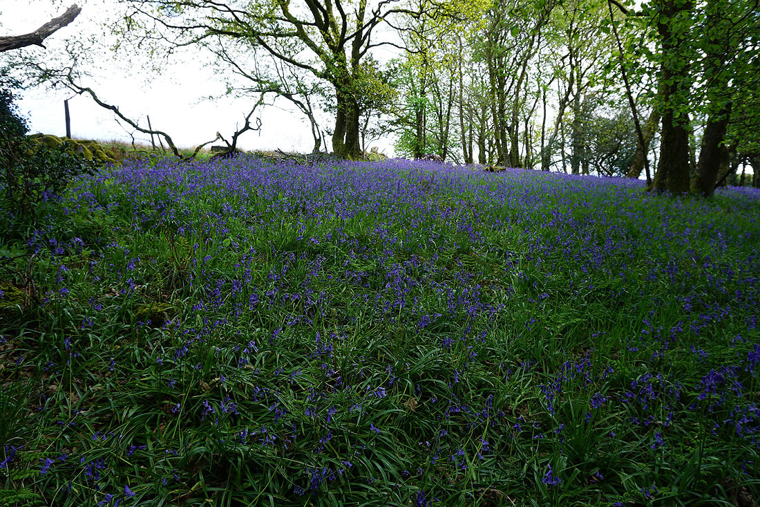
Lots of photos of the bluebells in Outhwaite Wood and Bowskill Wood. I kept to the upper path as it made its way south through the woods.....................
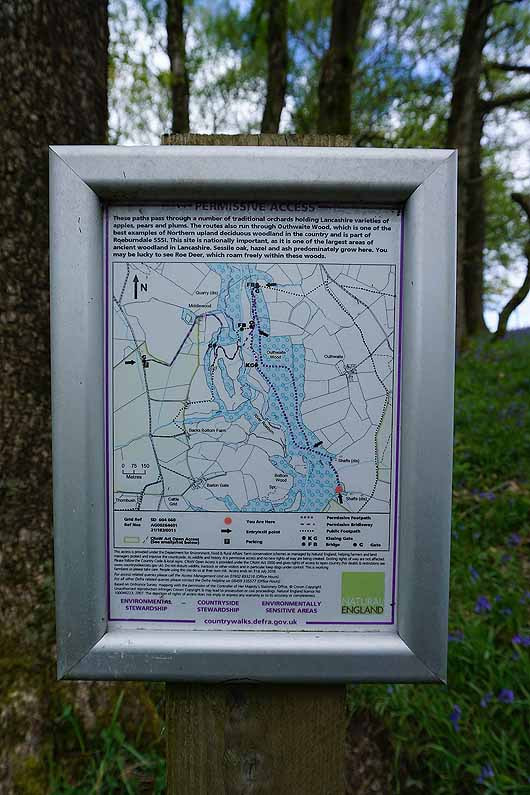
Natural England permissive access sign
Having left Bowskill Wood I follow the path down to the River Roeburn
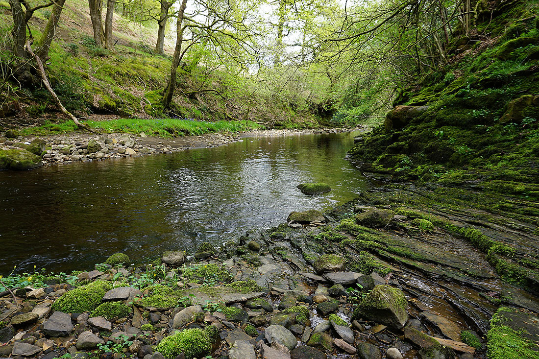
By the River Roeburn in Barkin Wood
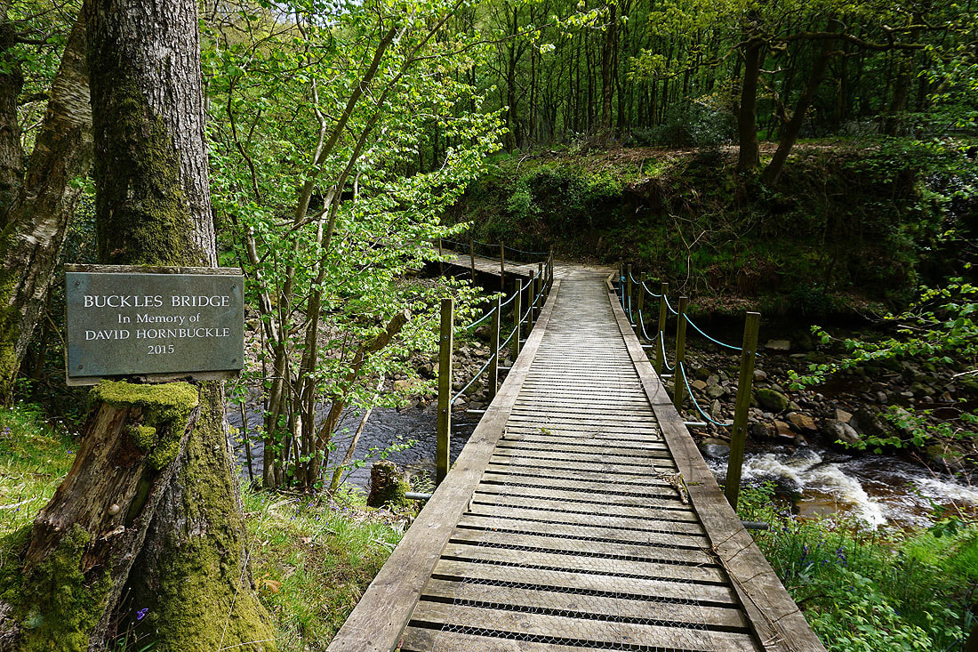
I then crossed this footbridge over the river. I think I went astray with my route finding from here.
Almost up to the road on the western side of Roeburndale and I have a great view across the top of the valley to Great Coum, Whernside, Ingleborough and Penyghent in the Yorkshire Dales
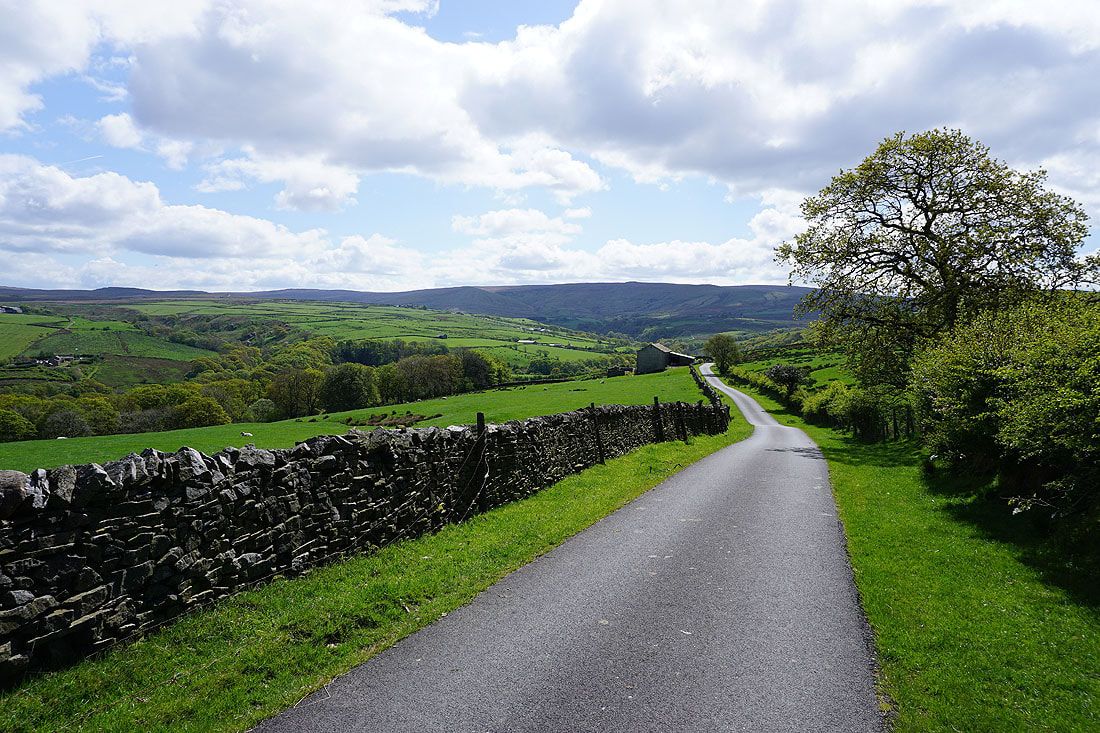
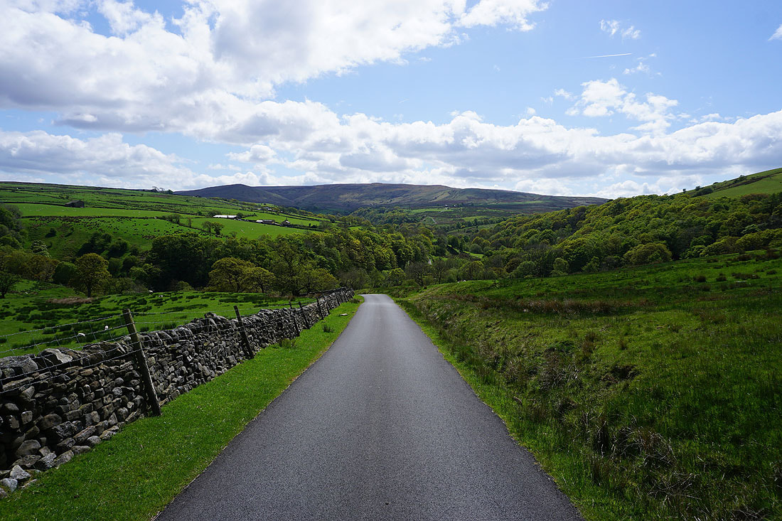
Following the road south down Roeburndale. The northern slopes of Ward's Stone form the backdrop.
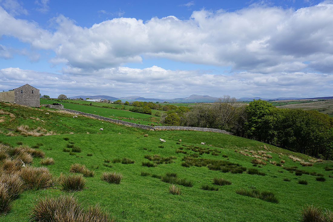
Great views across the top of Roeburndale to the west of Ingleborough and Penyghent as I follow the road south..
The road descends to Barkin Bridge
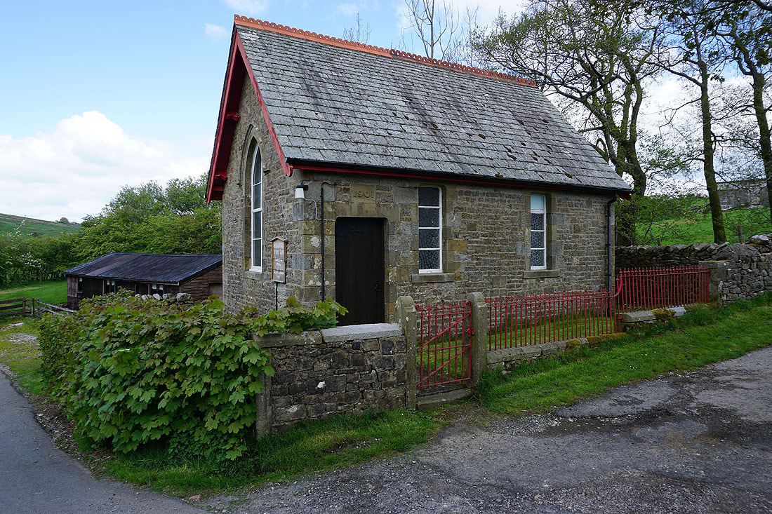
The methodist chapel at Lower Salter
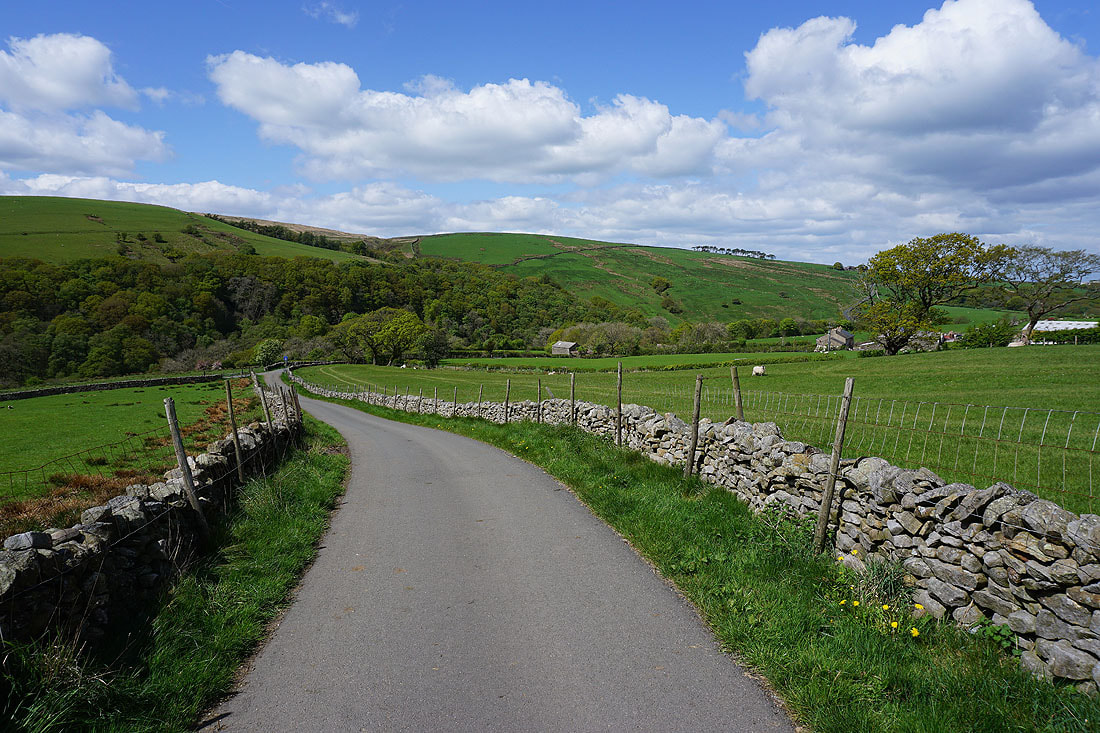
Looking back as I follow the road up to Middle Salter
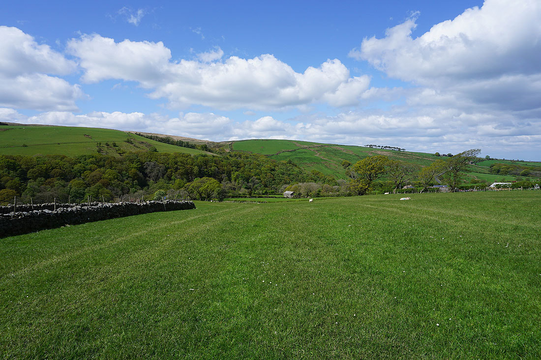
Whit Moor on the other side of Roeburndale
Whernside, Ingleborough and Penyghent in the distance behind Harterbeck Farm and the wooded Pedder Gill as I follow a path across fields to Goodber Beck
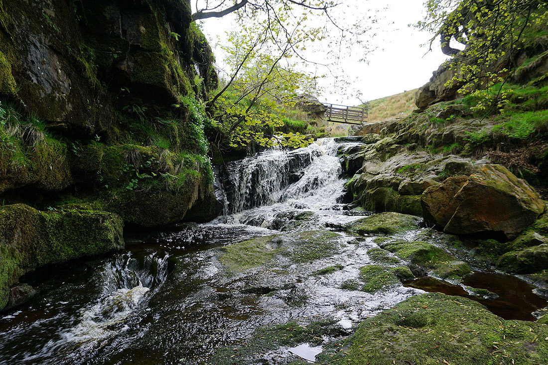
This little waterfall is just below the footbridge over Goodber Beck. There's a larger fall a little downstream but that would be quite an undertaking to reach.
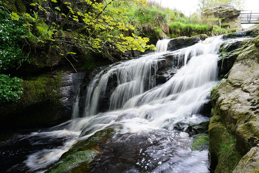
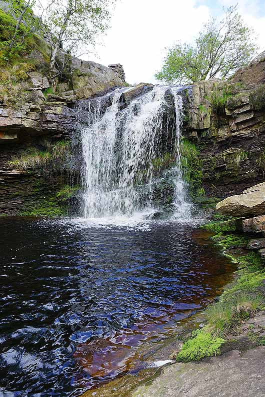
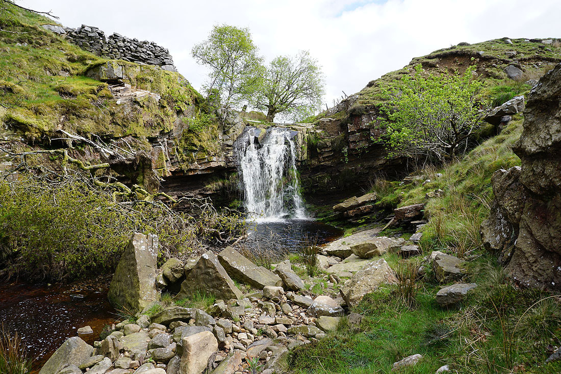
The waterfall upstream from the footbridge is worth a visit. Erosion and rockfall meant it was harder to reach than it was last time..
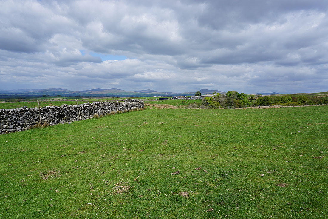
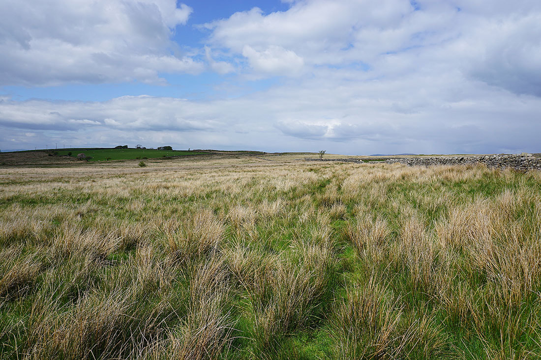
Past Harterbeck Farm and I'm following paths across fields and moors north to the east of Roeburndale...
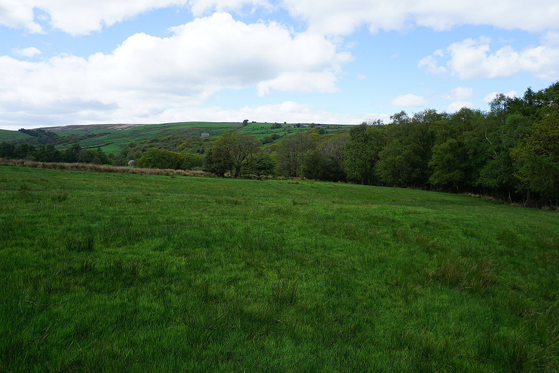
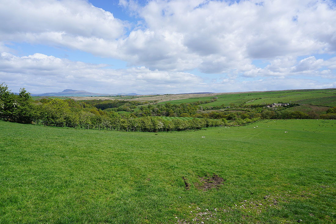
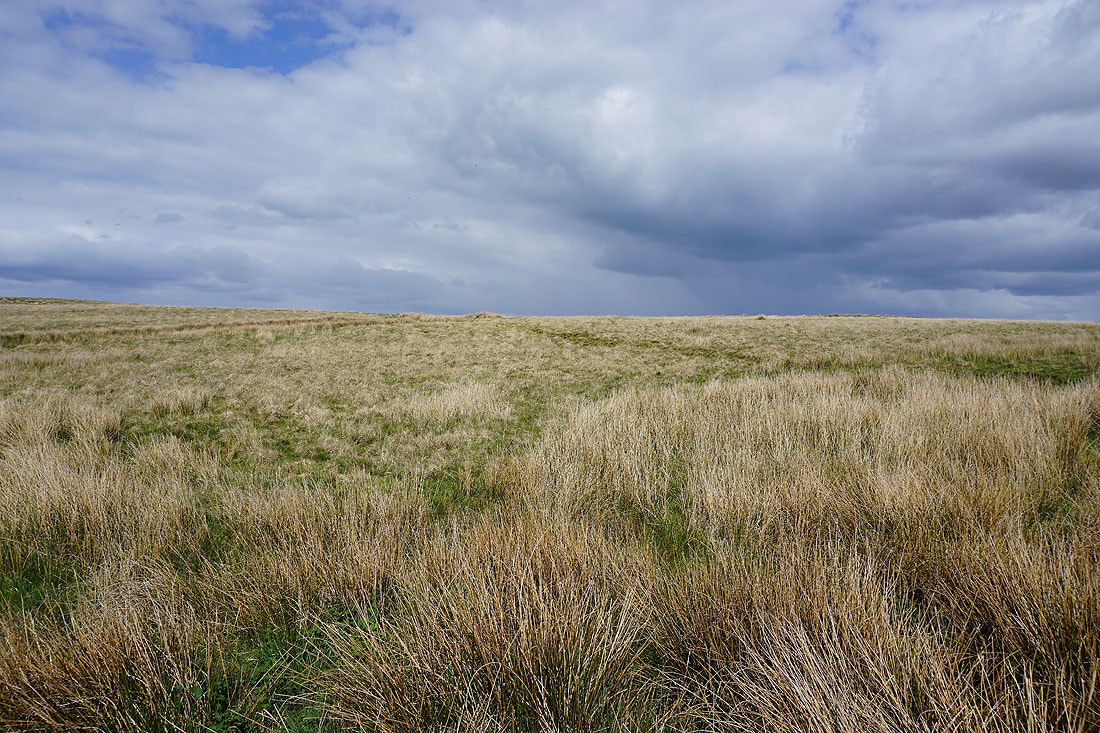
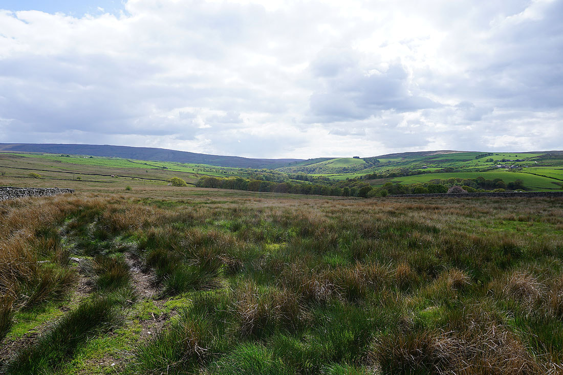
Looking back to the head of Roeburndale from Wray Wood Moor
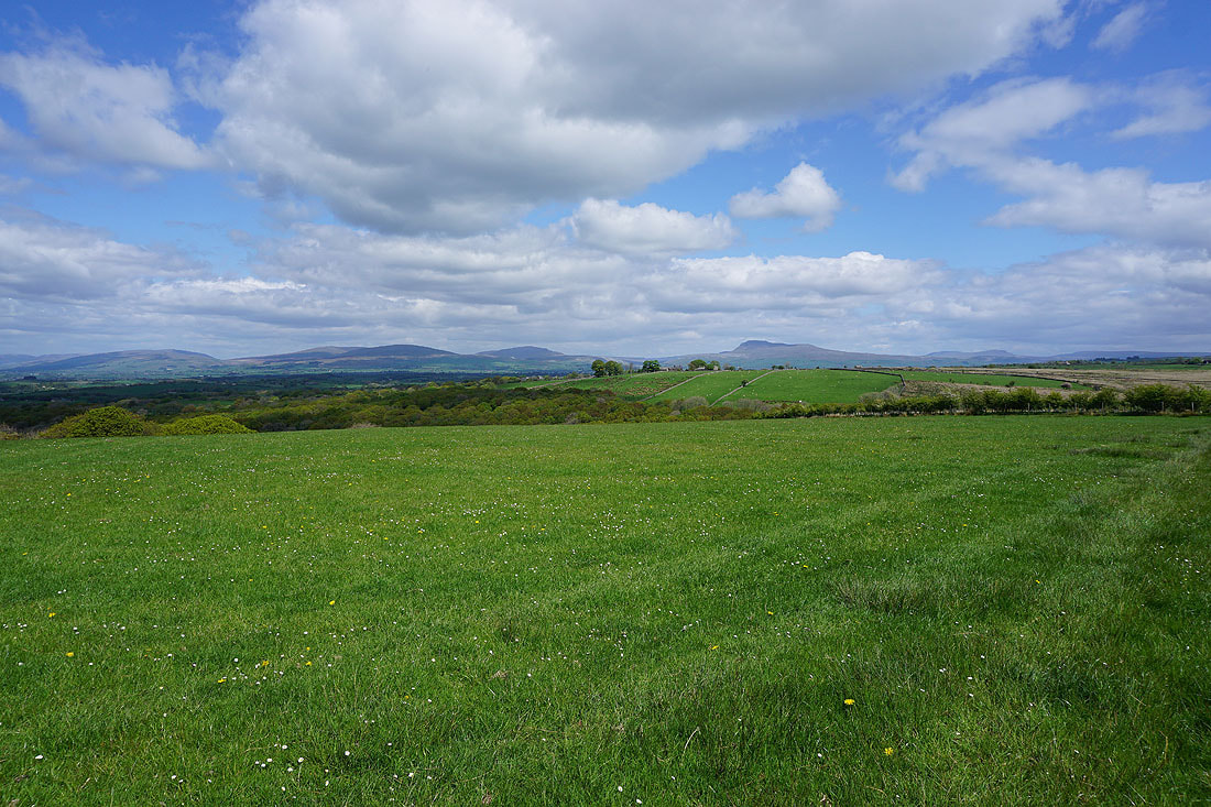
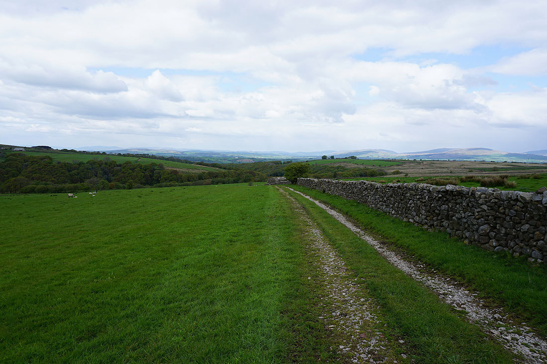
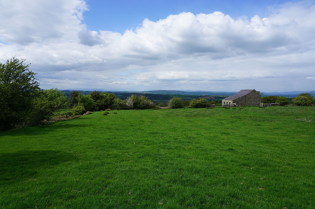
Great views all the way to the distant Lake District fells as I continue north
Back at the ford over Hunt's Gill Beck
and on the other side of Wray, where the rivers Roeburn and Hindburn meet
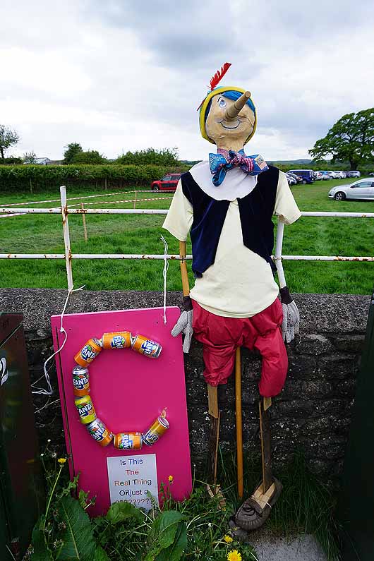
A couple more scarecrows as I reach the car park..
