4th November 2018 - Catrigg Force and Scaleber Force
Walk Details
Distance walked: 10.4 miles
Total ascent: 2197 ft
OS map used: OL2 - Yorkshire Dales, Southern & Western areas
Time taken: 6.5 hrs
Route description: Langcliffe-Lower Winskill-Stainforth-Pennine Bridleway-Catrigg Force-Pennine Bridleway-Winskill Stones-Jubilee Cave-Warrendale Knotts-Attermire Scar-Stockdale Lane-High Hill Lane-Scaleber Force-High Hill Lane-Lambert Lane-Mitchell Lane-Settle-Pennine Bridleway-Langcliffe
Not the best of weather this weekend but that didn't really matter, not with this walk that I had planned, a visit to Catrigg Force and Scaleber Force near Settle. I'd recently been to see Scaleber Force for the first time in September and it wasn't long after that that I decided to get myself a neutral density filter. Pairing that up with the tripod that I've had for some years meant that I could now take photos with long exposure times. I was really pleased with how the photos came out, especially those of Scaleber Force. Don't be surprised to see more of this sort of thing in the near future. I'll only be carrying my tripod when I'm pretty sure that I'm going to use it though, I don't plan on lugging that extra weight around for fun. Most of the day was pretty cloudy, grey and breezy with a bit of rain in the air every now and then but I was lucky to have a bit of sunshine while I was up at Winskill Stones.
From the car park in Langcliffe I took the track then footpath north to Lower Winskill then down to Stainforth. I left Stainforth by heading east up the Pennine Bridleway, leaving it to visit Catrigg Force, before leaving it again to take a track up to the road above Winskill Stones. I walked south along the road, across a cattle grid and then took a path up the hillside to the byway below Jubilee Cave, where I stopped for lunch on the limestone outcrops above the cave. I resumed by taking the path south beneath Attermire Scar, a there and back to the trig point on Warrendale Knotts was done, and then east to Stockdale Lane. I then made my way down Stockdale Lane, turned left onto High Lane Lane and followed that to Scaleber Bridge, where I made my way down to Scaleber Force. After making my way back up to the road I walked up High Hill Lane, turned left and took the track of Lambert Lane and then walked down Mitchell Lane into Settle. I kept to the top of the town taking Albert Hill, School Hill, Castlebergh Lane and Castle Hill to reach the Pennine Bridleway that took me part of the way north towards Langcliffe. Another bridleway was used for the last stretch.
Route map
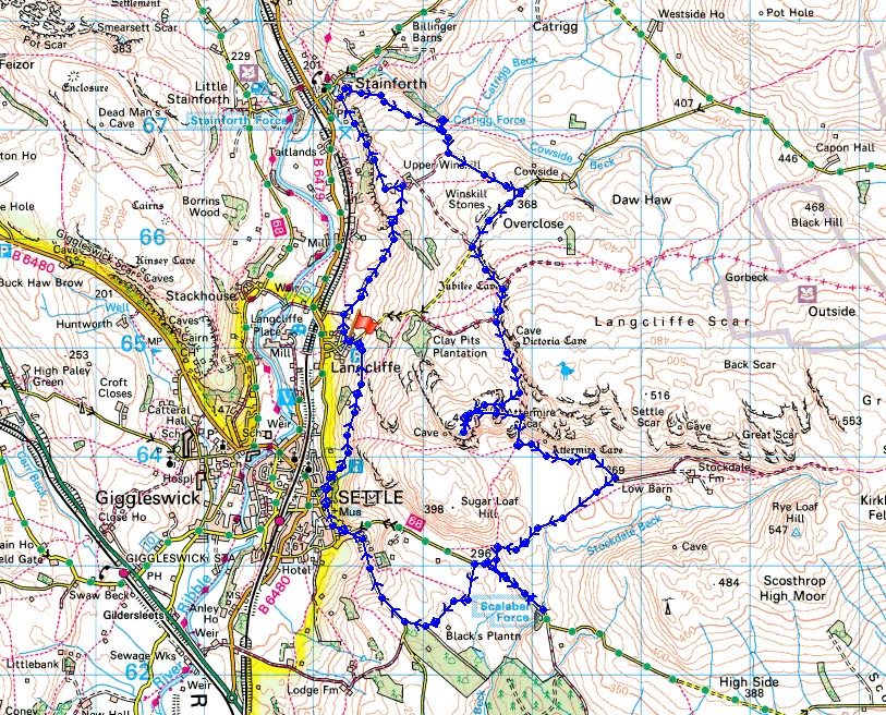
© Crown copyright. All rights reserved. License number PU 100034184.
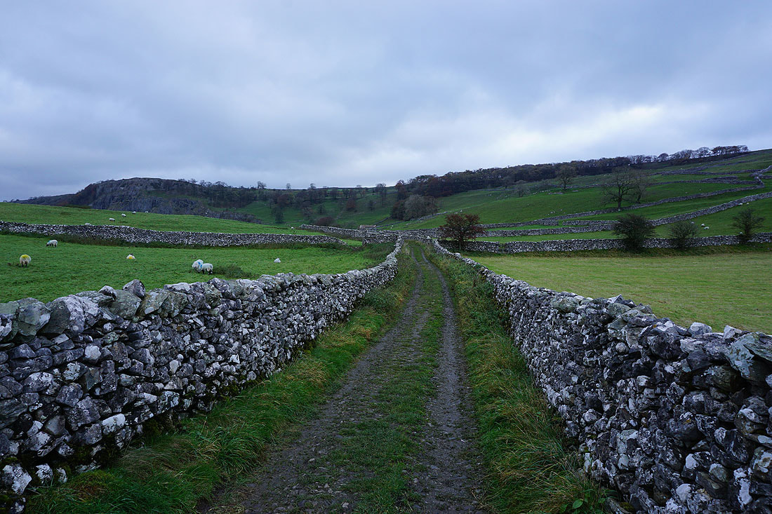
Leaving Langcliffe on the path to Stainforth
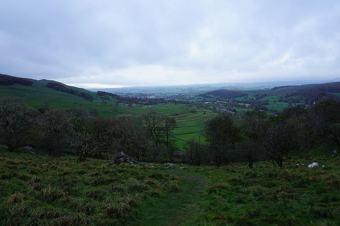
Looking back down Ribblesdale to Settle
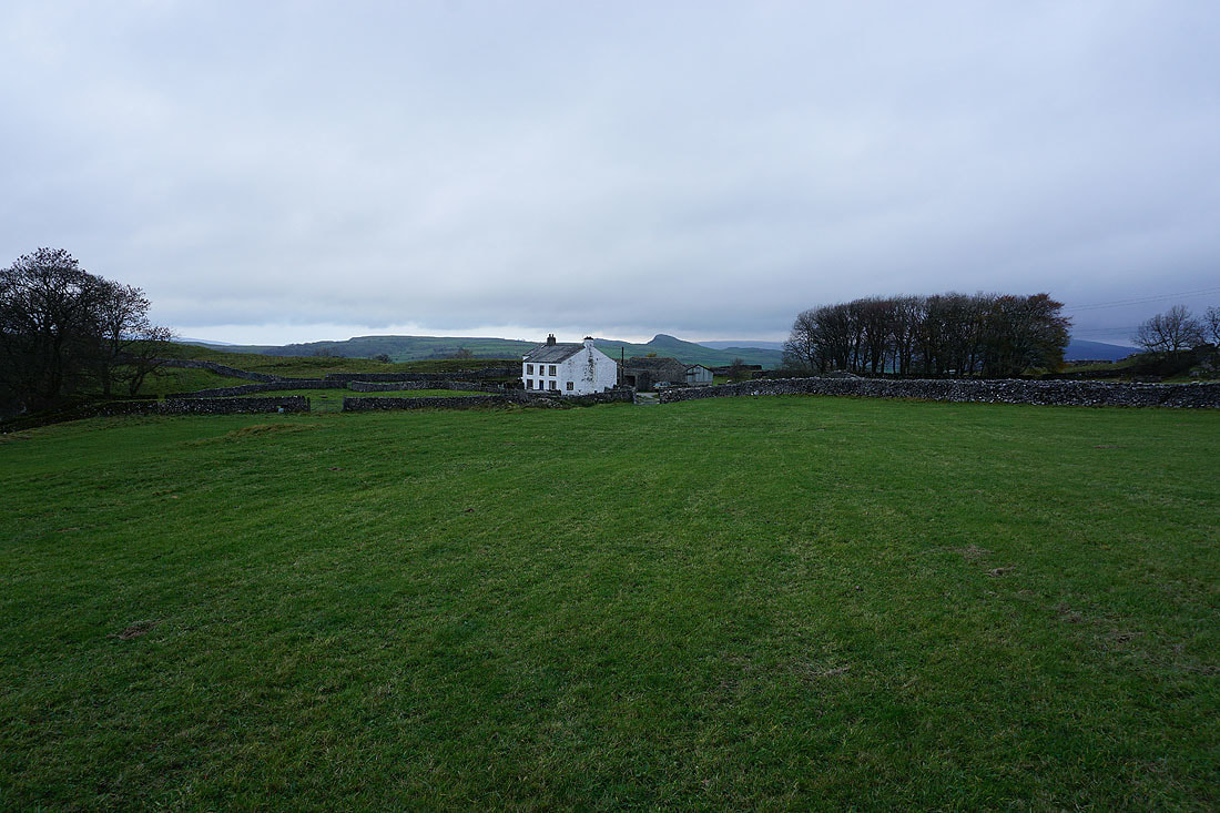
Passing Lower Winskill
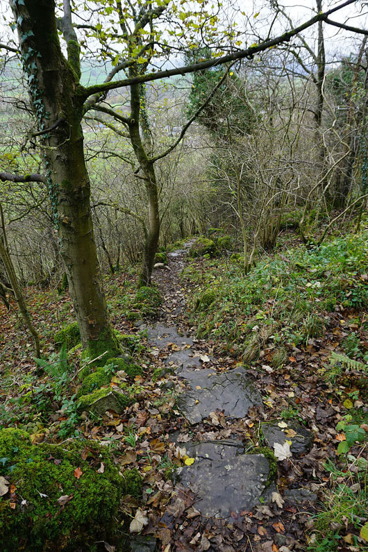
It's a steep path down to Stainforth with greasy limestone to contend with. Care was needed.
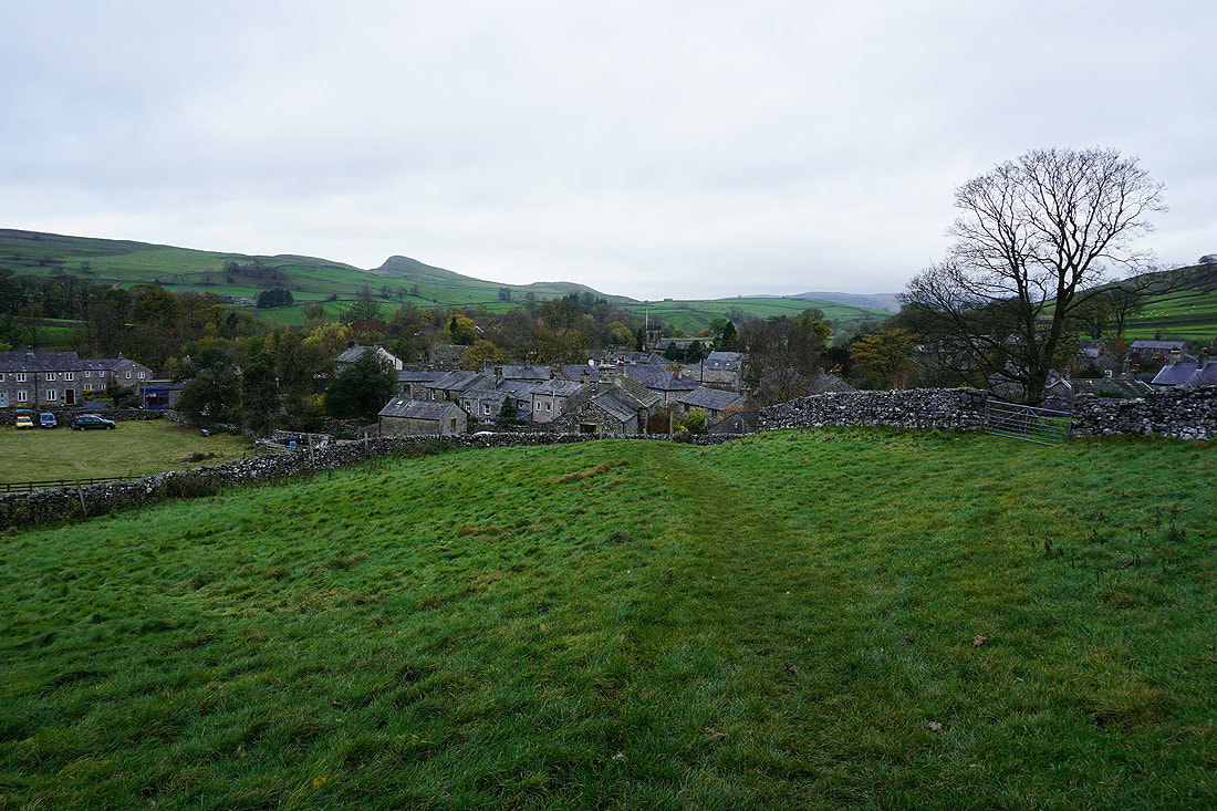
Arriving in the village of Stainforth
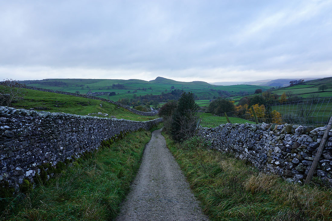
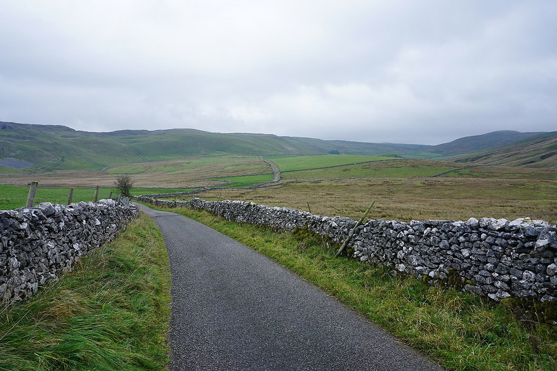
Looking back as I leave Stainforth by the Pennine Bridleway. The pointed hill on the other side of Ribblesdale is Smearsett Scar.
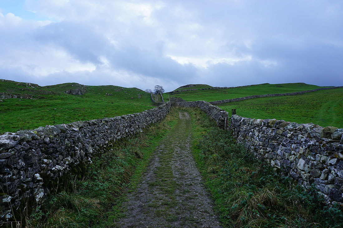
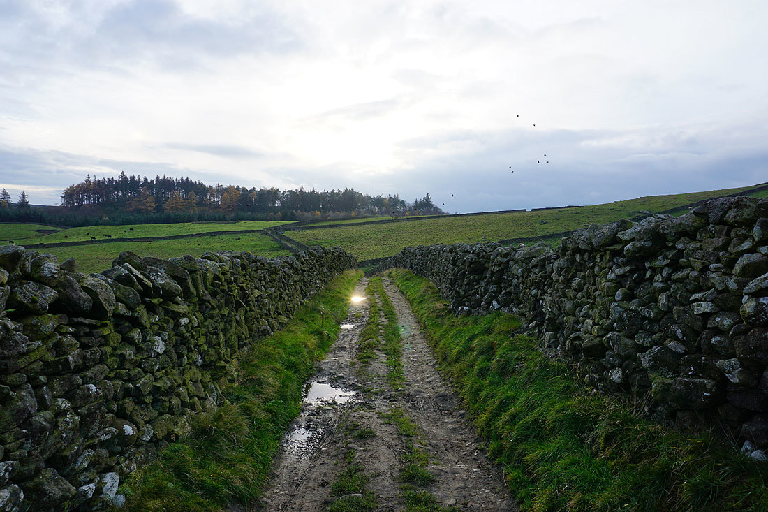
On the Pennine Bridleway to Catrigg Force
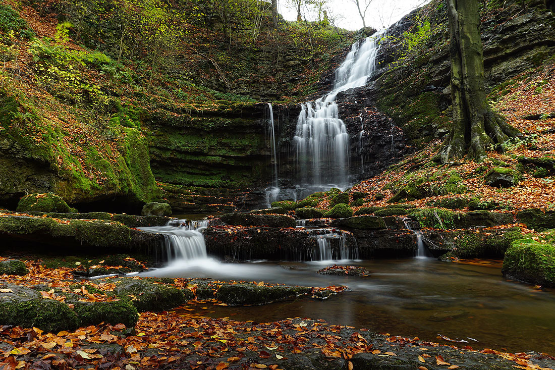
Catrigg Force. I took several photos using a tripod and ND filter. This was the one that I liked best. It's a 30 second exposure.
A normal hand-held shot
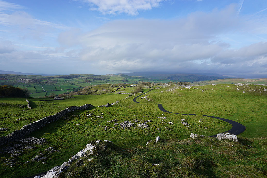
By the road through Winskill Stones
A cloud topped Ingleborough from Winskill Stones
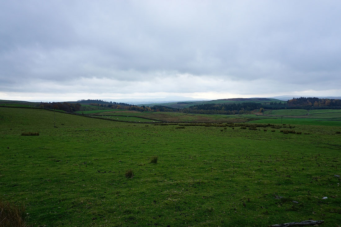
Along with cloud hiding much of the Forest of Bowland in the distance
It's a bit of good fortune that it's chosen now to brighten up. It makes the view across Ribblesdale to Lower Winskill and Smearsett Scar that much more enjoyable..
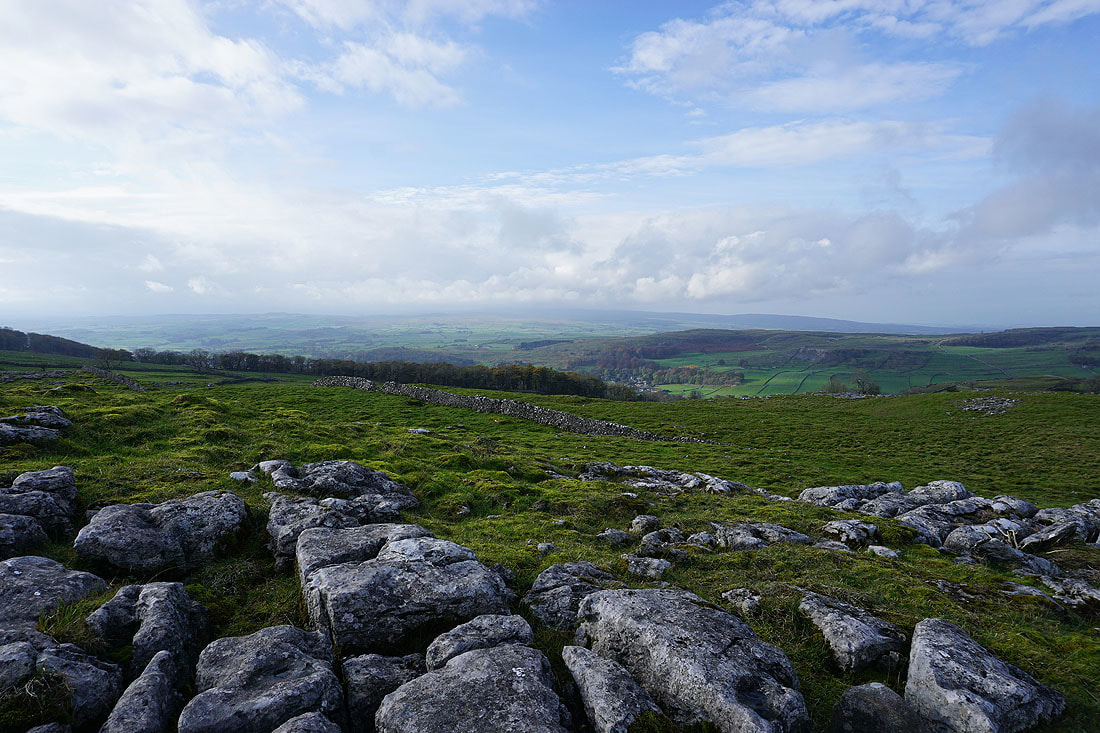
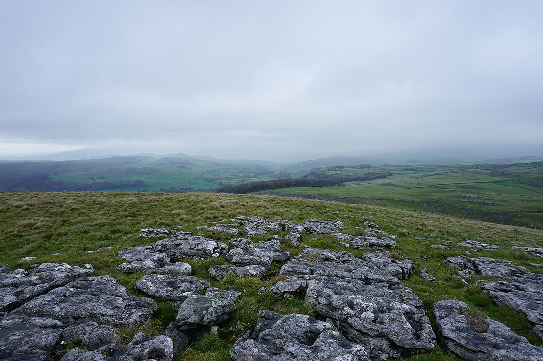
Penyghent and Fountains Fell from above Jubilee Cave, where I stopped for lunch
and looking south to Warrendale Knotts
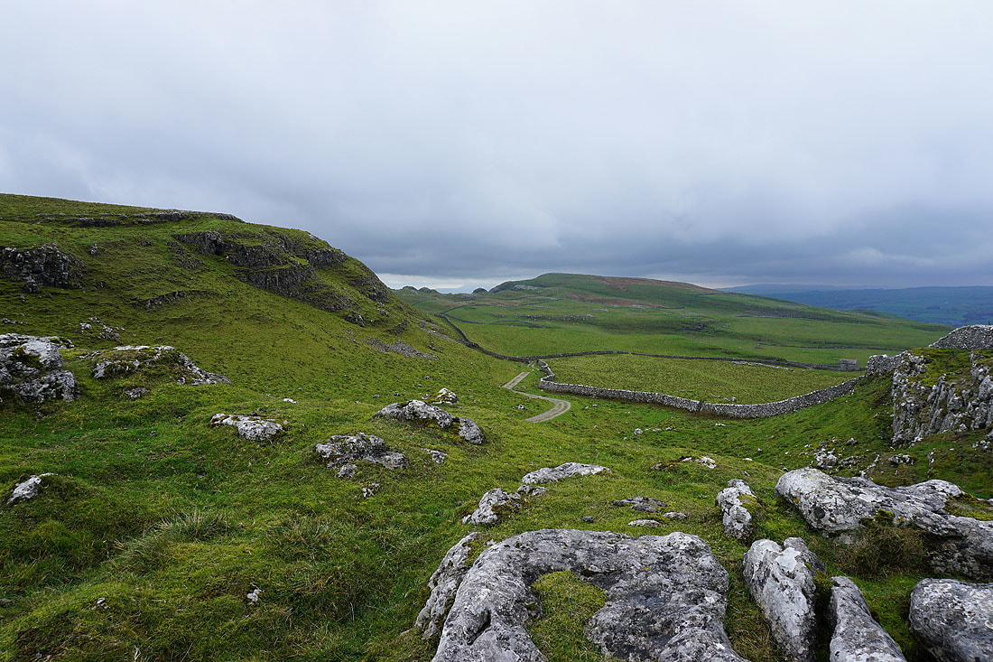
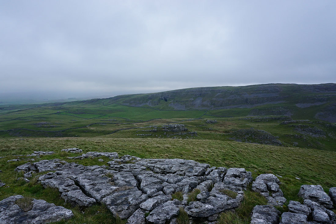
Following the path below Attermire Scar
Attermire Scar as I head for the top of Warrendale Knotts
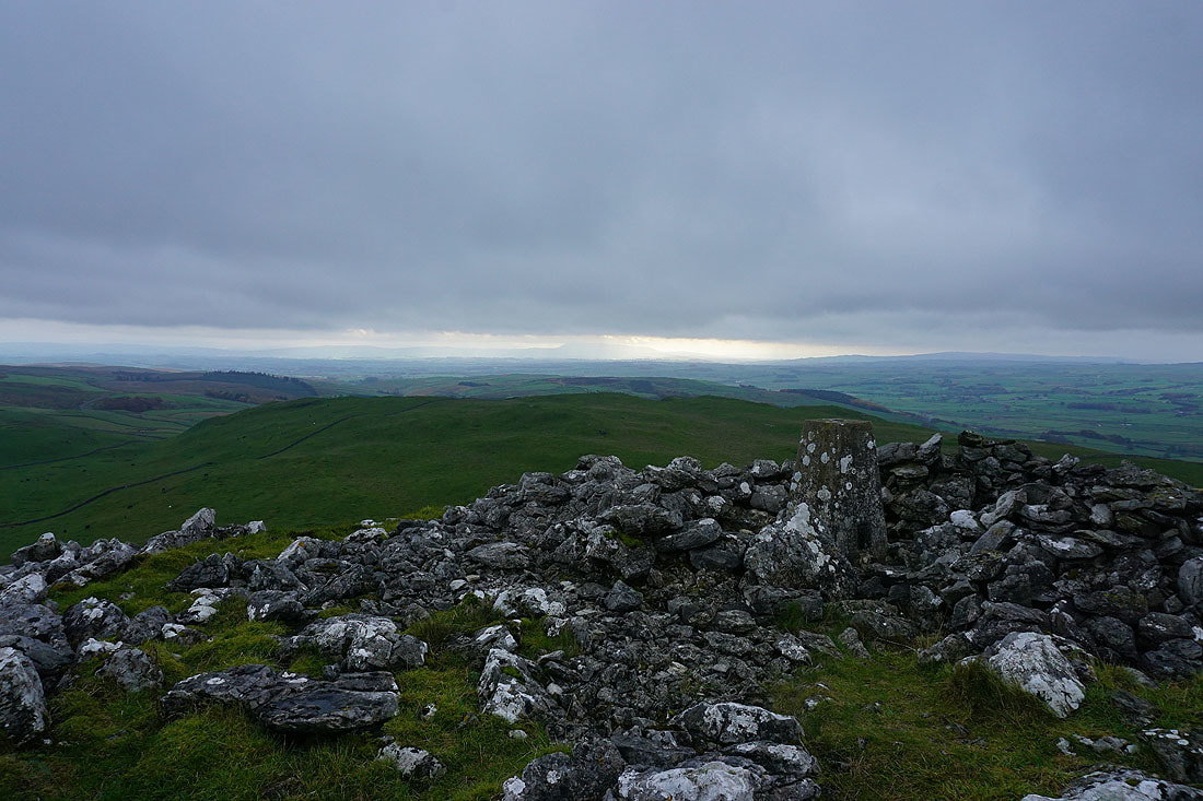
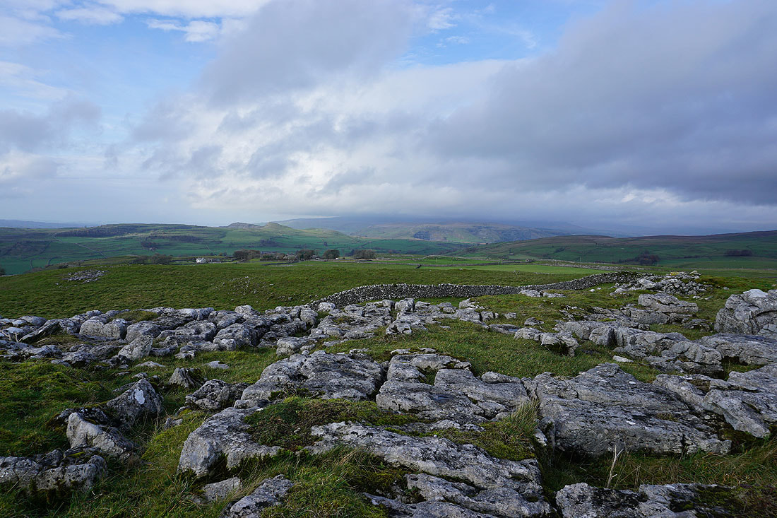
At the trig point on the top of Warrendale Knotts. A bit of sunshine on Pendle Hill in the distance.
There's certainly none here. Low cloud is shrouding the hills further up Ribblesdale and there's a bit of rain in the air.
The black hole of Victoria Cave in Attermire Scar
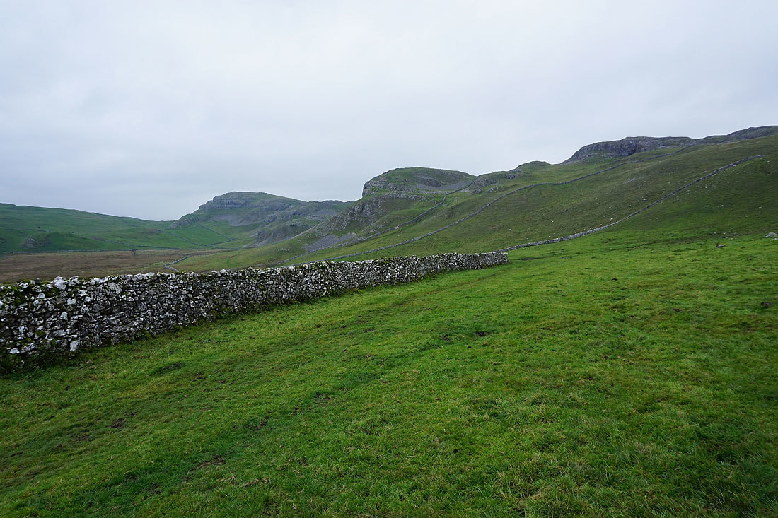
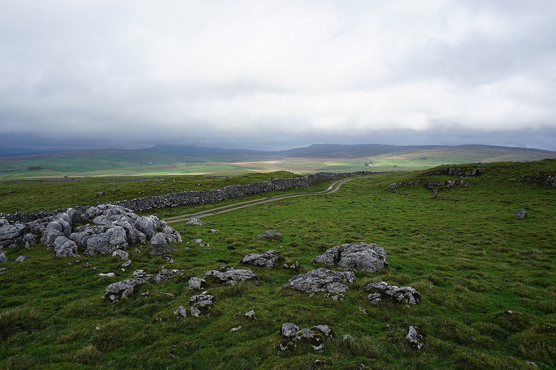
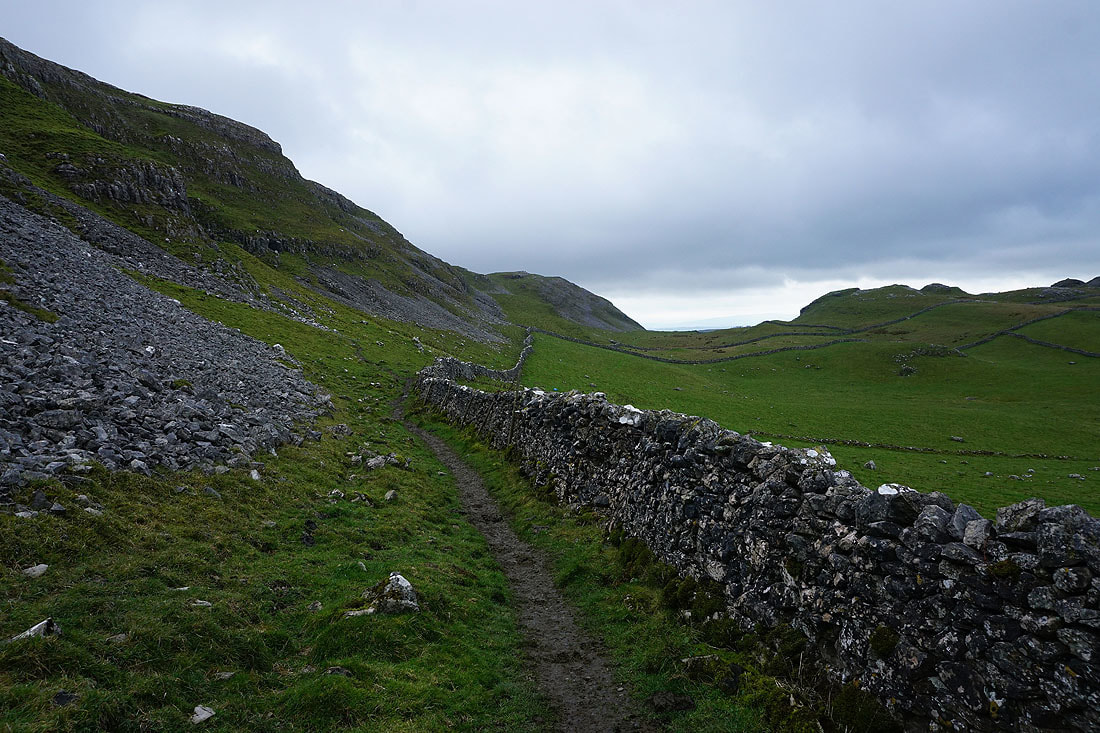
Looking back to Warrendale Knotts as I follow the path to Stockdale Lane
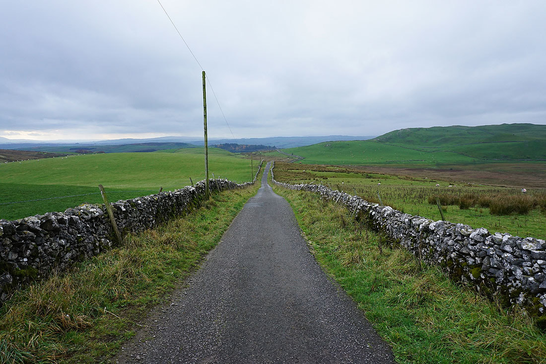
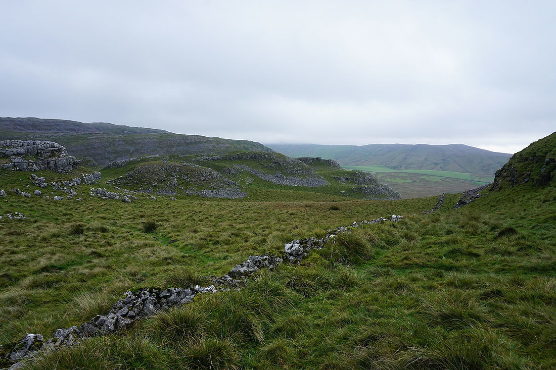
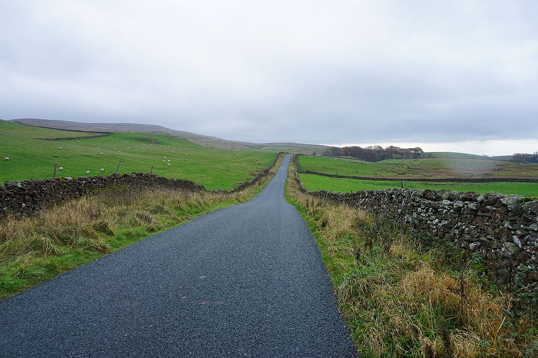
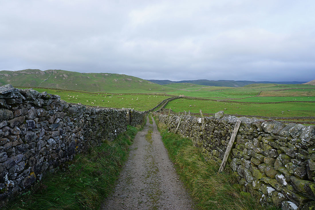
Heading down Stockdale Lane
Looking back up Stockdale Lane
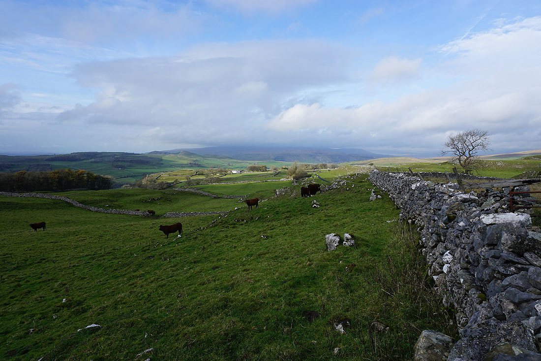
Pendle Hill in the distance..
..as I make my way along High Hill Lane to Scaleber Bridge
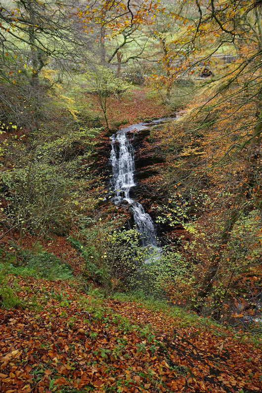
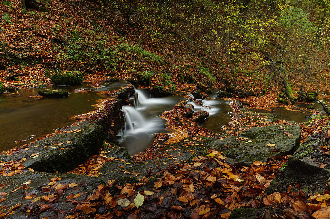
Scaleber Force from above as I make my way down
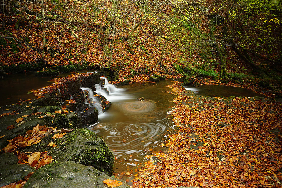
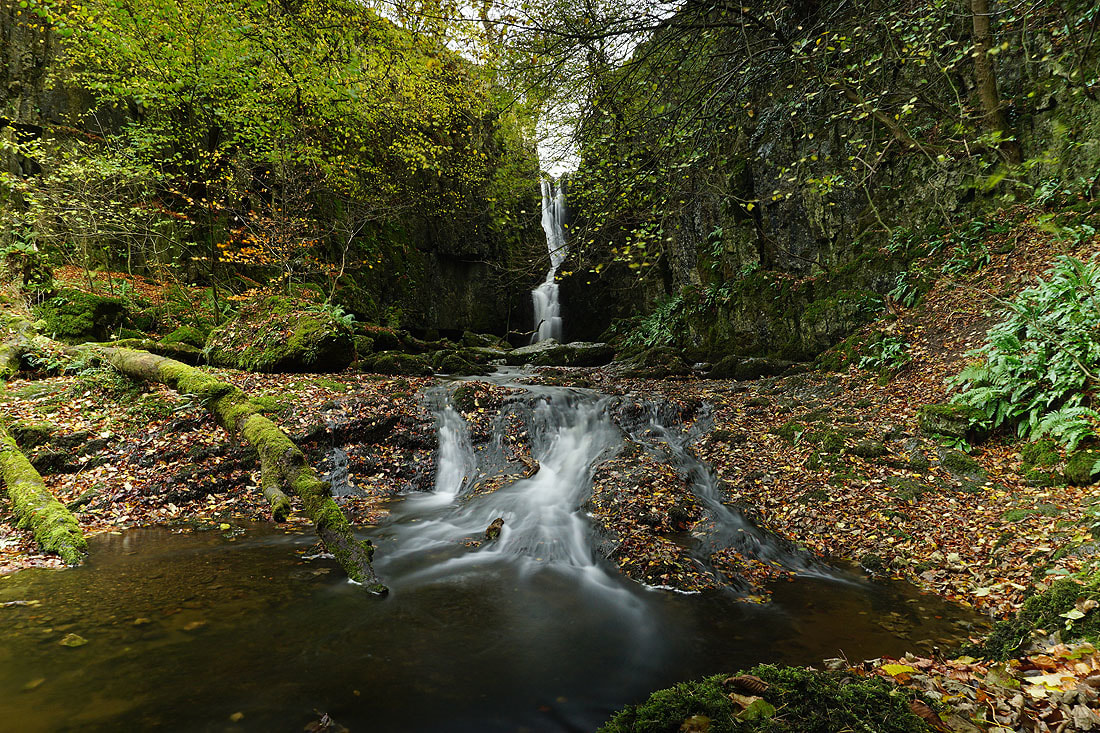
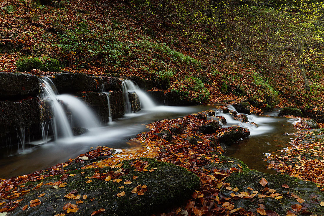
A few photos of the small waterfalls below the main one. All 30 second exposures...
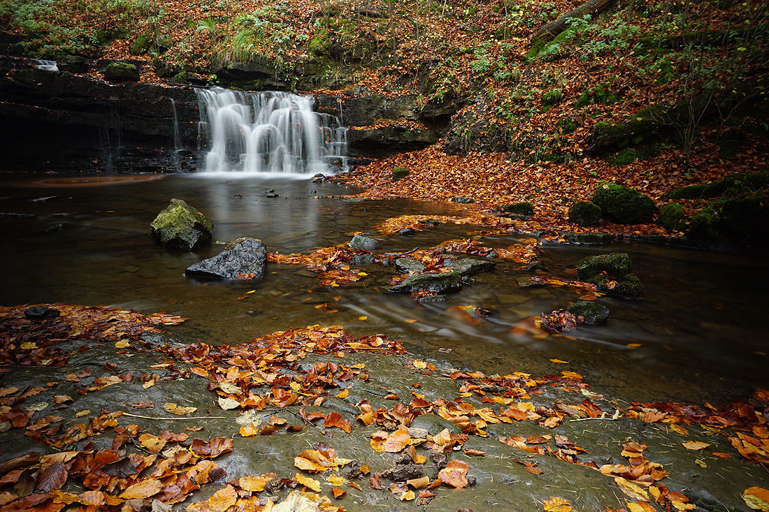
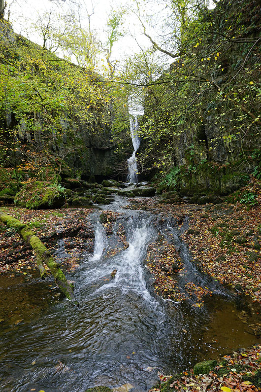
Scaleber Force. It was decidedly tricky to get up to where I'm stood.
Back below the main fall for a couple more
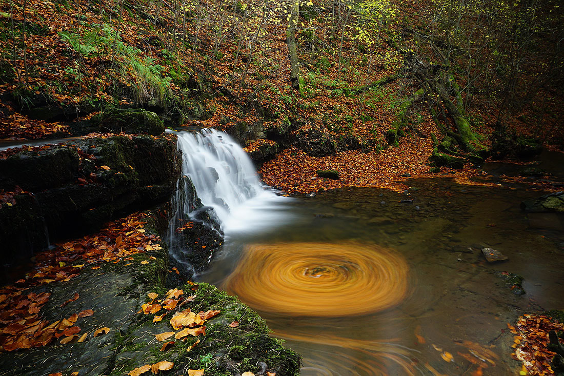
This final one is my favourite. I really like the leaves going round and round to create the swirl.
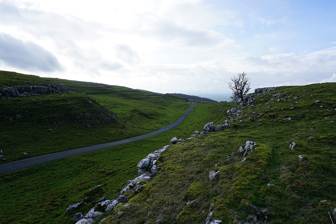
High Hill ahead as I make my way back along High Hill Lane
On the track of Lambert Lane past Preston's Barn..
Looking back along Lambert Lane to High Hill
Heading down Mitchell Lane to Settle..
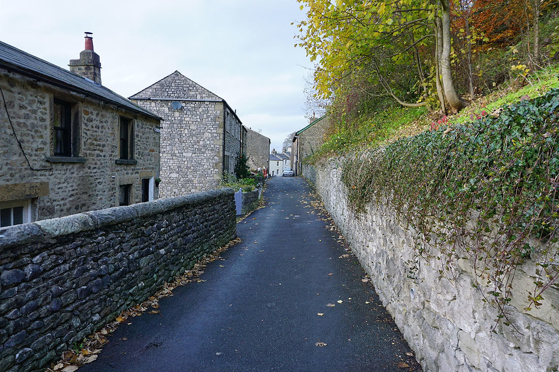
Making my way along the back streets of Settle to pick up the Pennine Bridleway back to Langcliffe
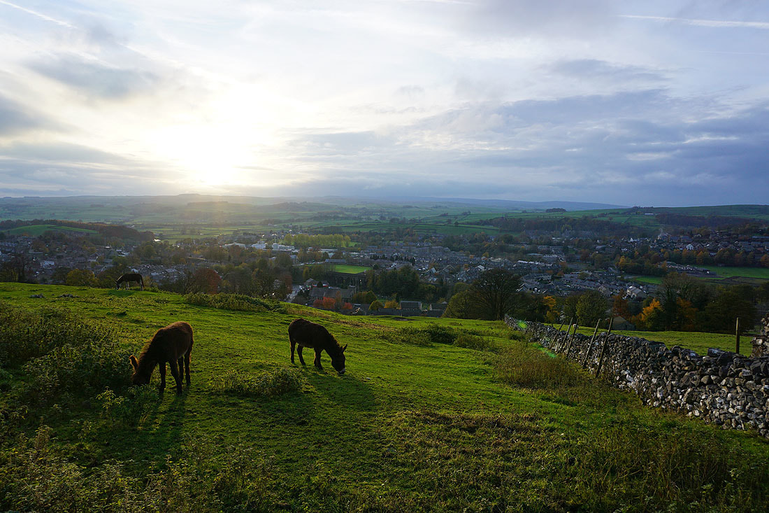
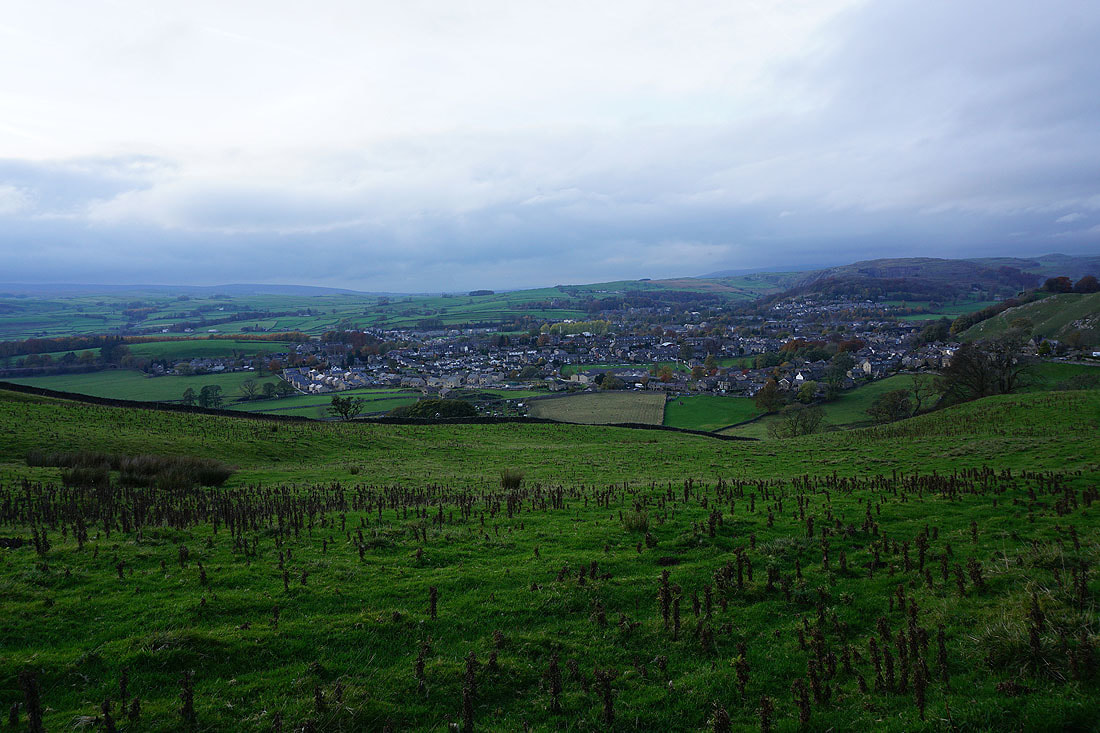
Settle from the Pennine Bridleway
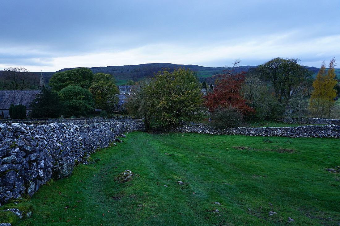
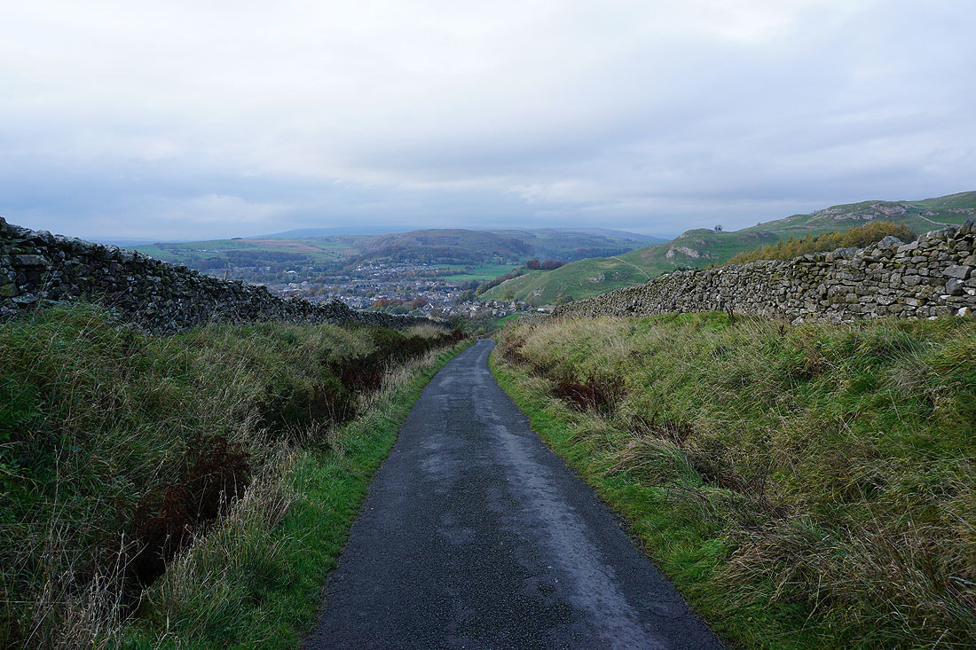
The final descent back to Langcliffe