4th October 2019 - Pendle Hill
Walk Details
Distance walked: 7.0 miles
Total ascent: 1012 ft
OS map used: OL41 - Forest of Bowland & Ribblesdale
Time taken: 3.5 hrs
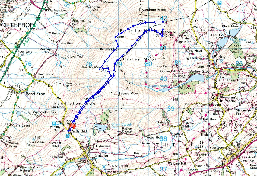
Route description: Nick of Pendle-Pendleton Moor-Ogden Clough-Pendle Hill-Downham Moor-Worston Moor-Scout Cairn-Mearley Moor-Pendleton Moor-Nick of Pendle
I've got today and Monday off work to make a long weekend. Although the forecast isn't great, it's still good enough for me to get out for some decent walks. When it passed lunchtime today and it looked alright outside, and I had nothing better to do, I thought I'd go for a walk up Pendle Hill. Unfortunately the weather decided to go downhill as I was going uphill. Not long after setting off from the Nick of Pendle the cloud came down and drizzly rain started to fall. It lasted until I'd reached the trig point and for the rest of the walk the cloud gradually lifted and it brightened up a little.
From my starting point at one of the laybys on the road across the Nick of Pendle I made my way up onto Pendleton Moor. I kept on the path as it made its way into Ogden Clough and followed it all the way up to the trig point and summit. I then crossed the stile onto Downham Moor, followed the path west, and crossed the stile onto Worston Moor to reach the Scout Cairn. I then walked across Mearley Moor before crossing the top of Howcroft Brook to pick up the path across Pendleton Moor back to the Nick of Pendle.
Route map
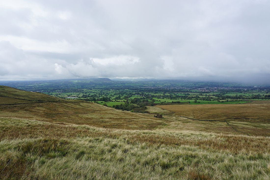
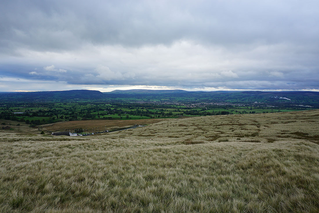
Longridge Fell and the Ribble Valley as I set off from the Nick of Pendle
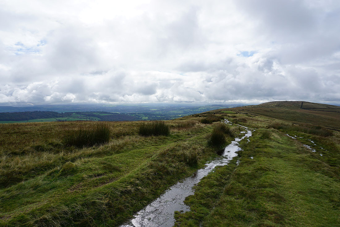
There are brighter skies if I look towards the West Pennine Moors
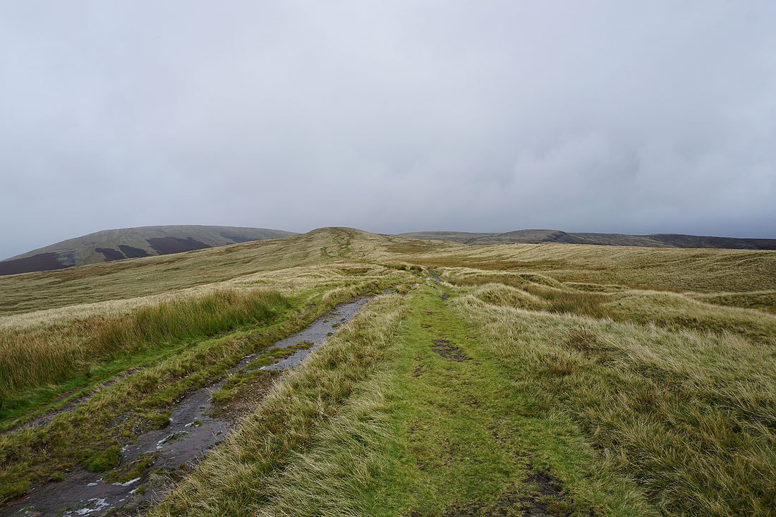
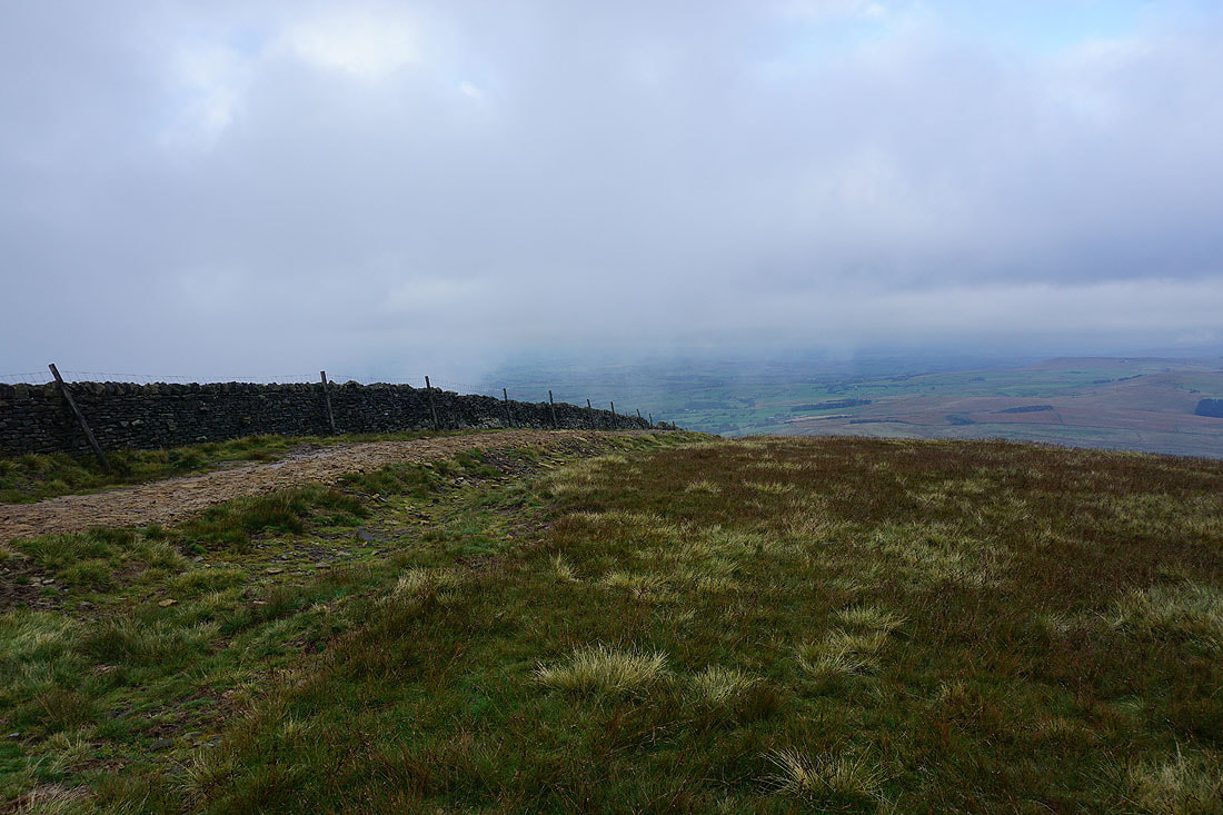
Grey skies ahead though
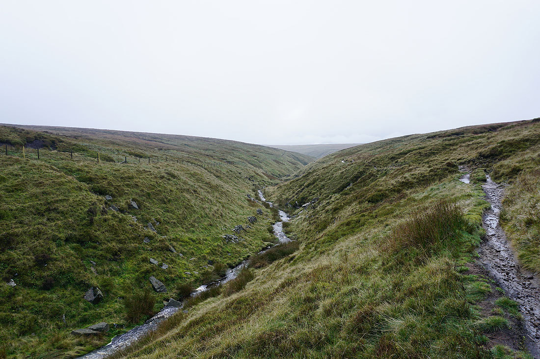
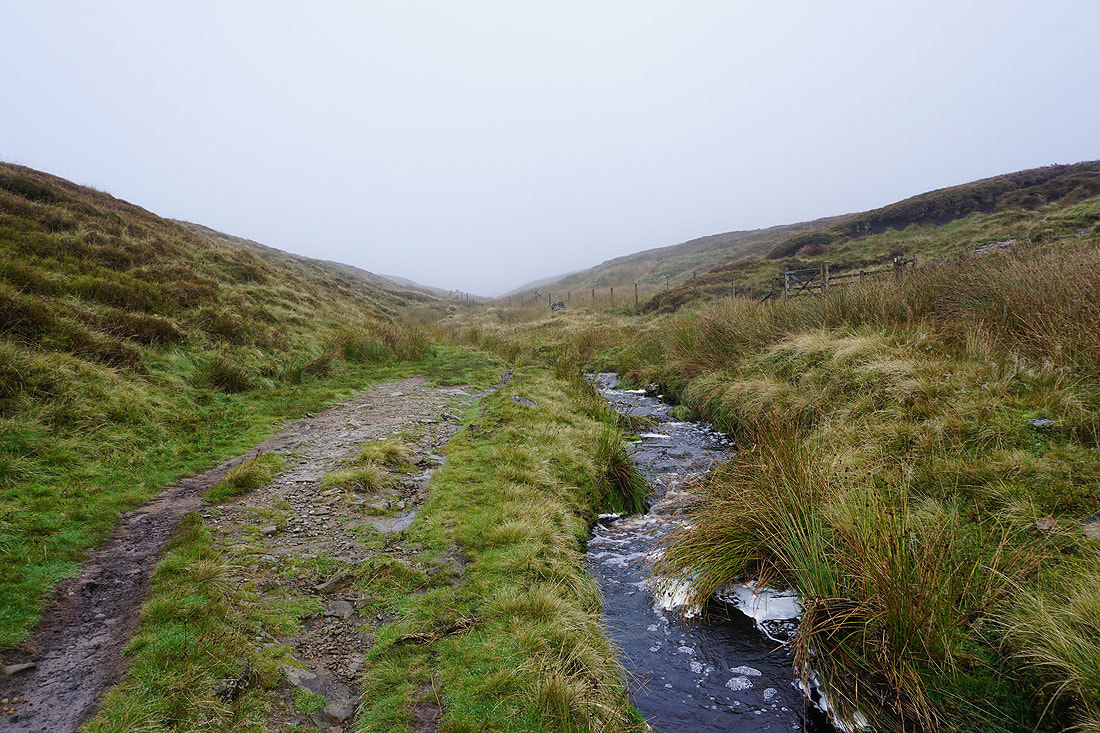
On the path up Ogden Clough..
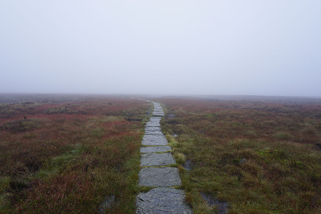
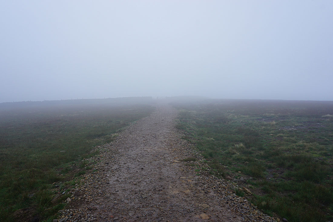
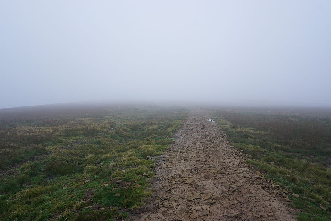
There isn't much to see as I head for the summit, and it isn't very nice with drizzly rain falling
No hanging around the trig point, and straight on to the wall and Downham Moor
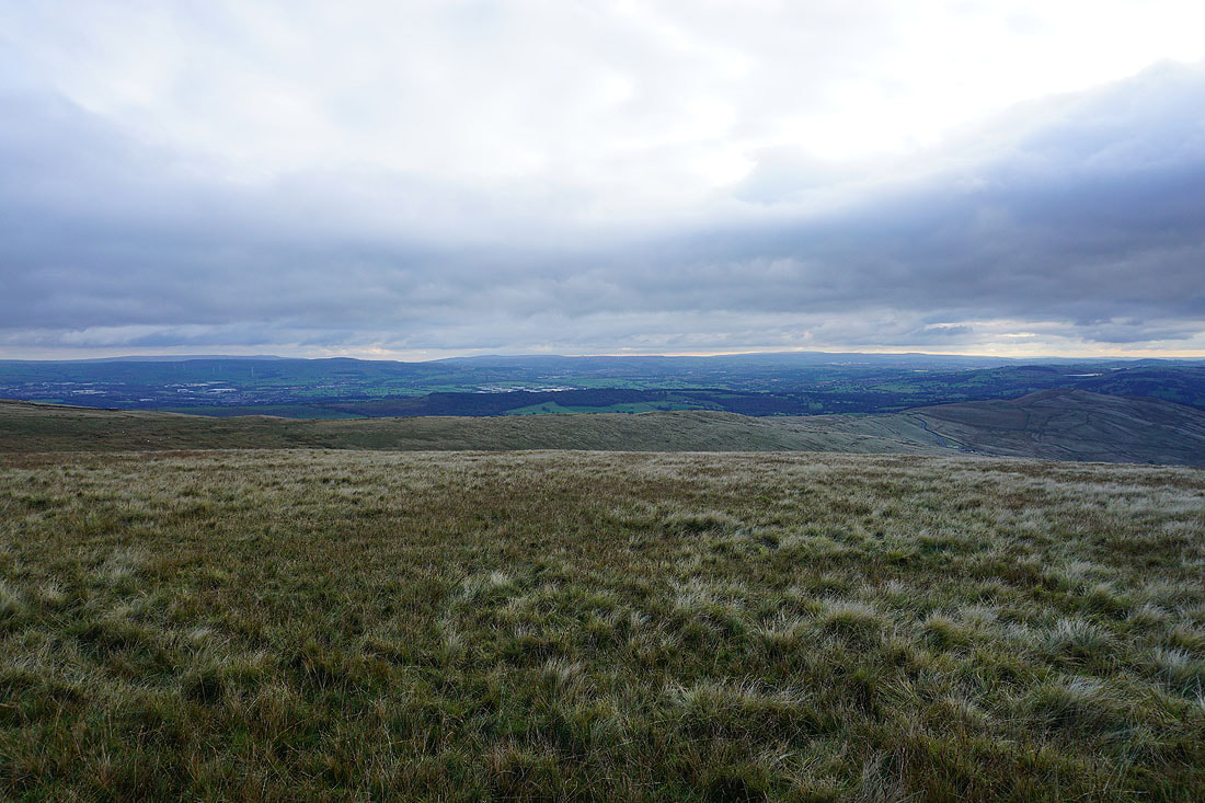
The cloud starts to lift
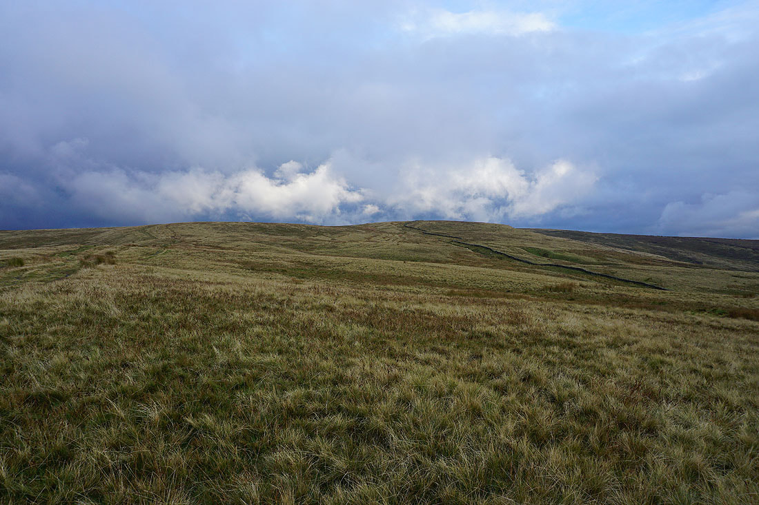
and I can now see Downham Moor
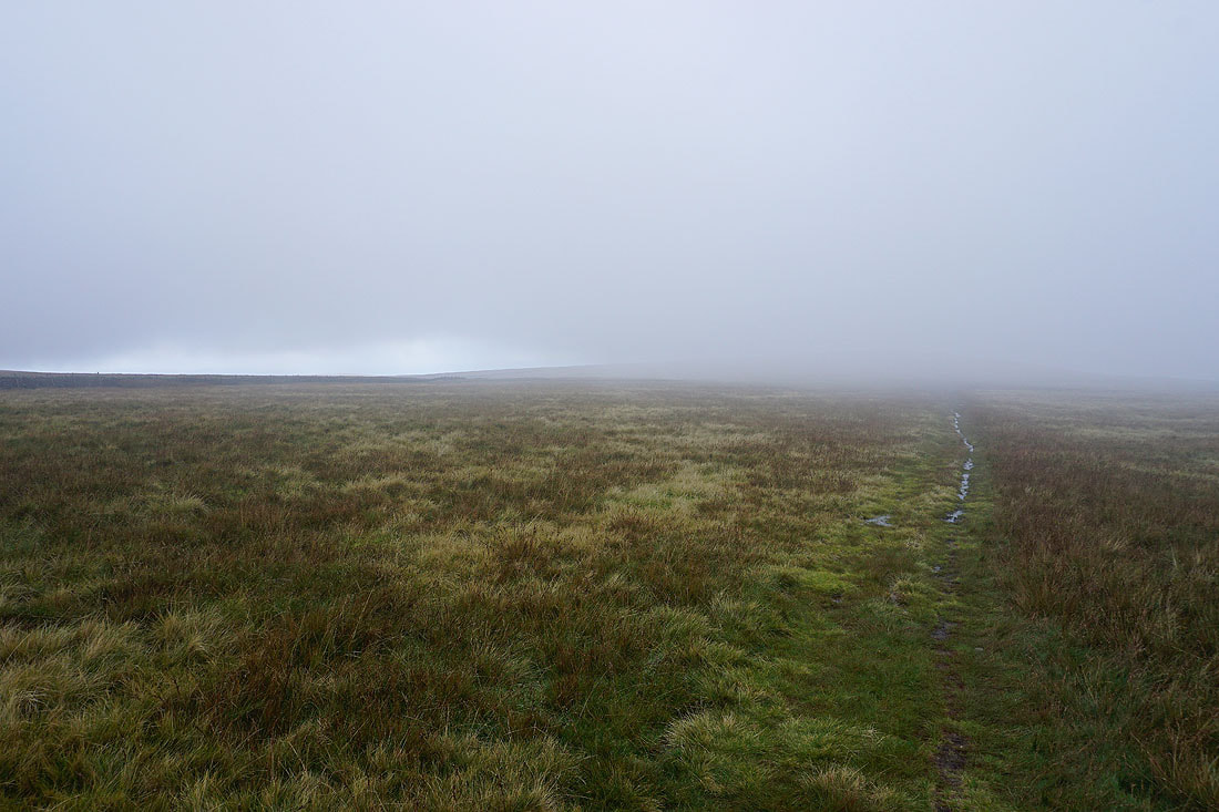
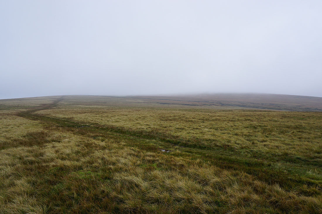
I spoke too soon as the hill disappears again..
Looking back to the summit from Downham Moor
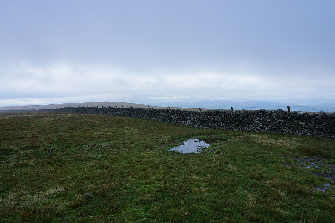
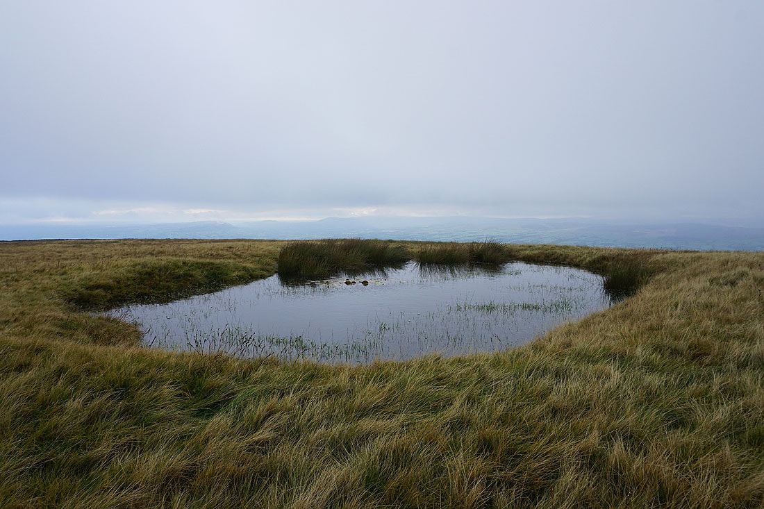
I can make out some of the Bowland fells from the pool on Downham Moor
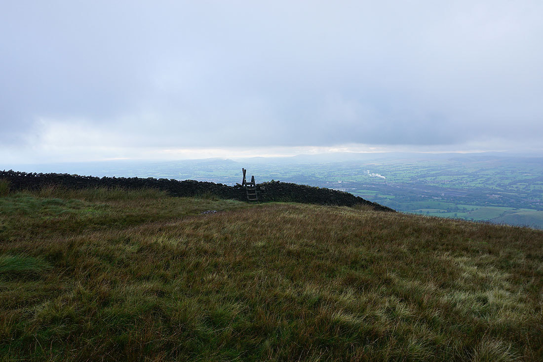
Across the stile onto Worston Moor
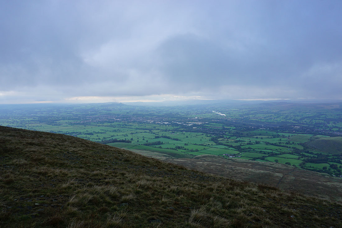
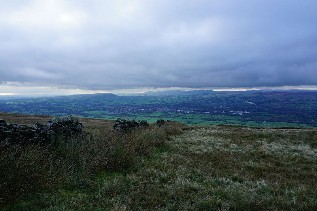
Longridge Fell, Clitheroe and the Ribble Valley from Worston Moor
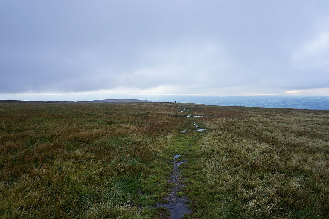
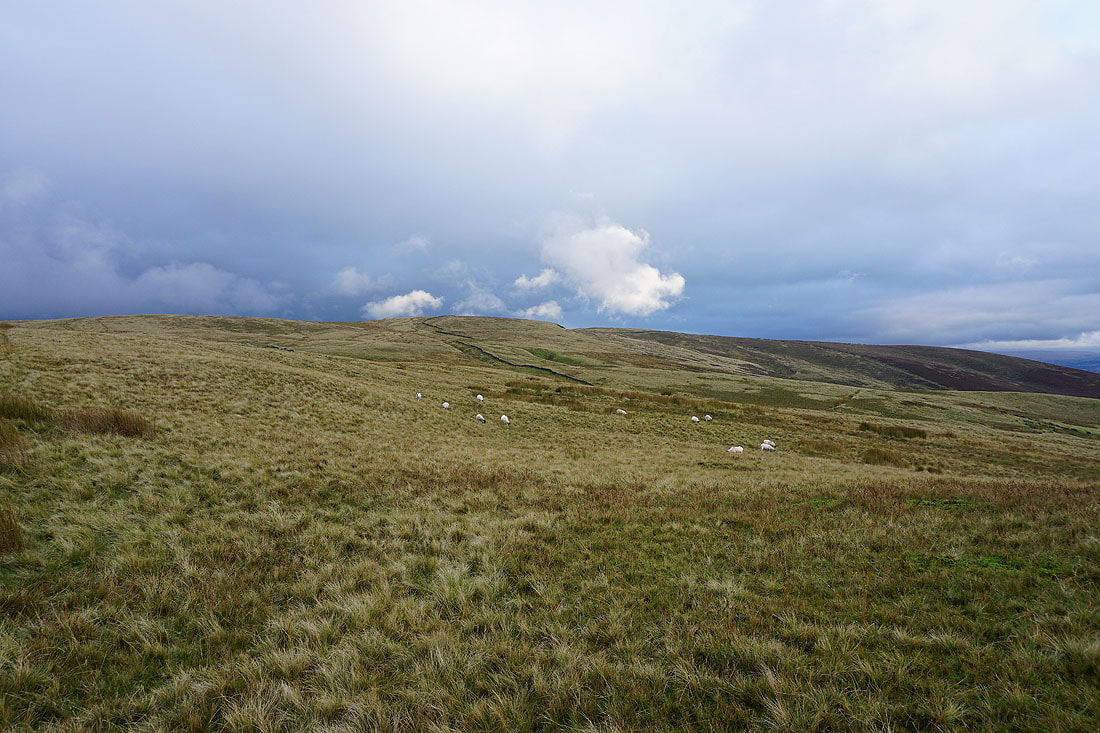
Heading for the Scout Cairn
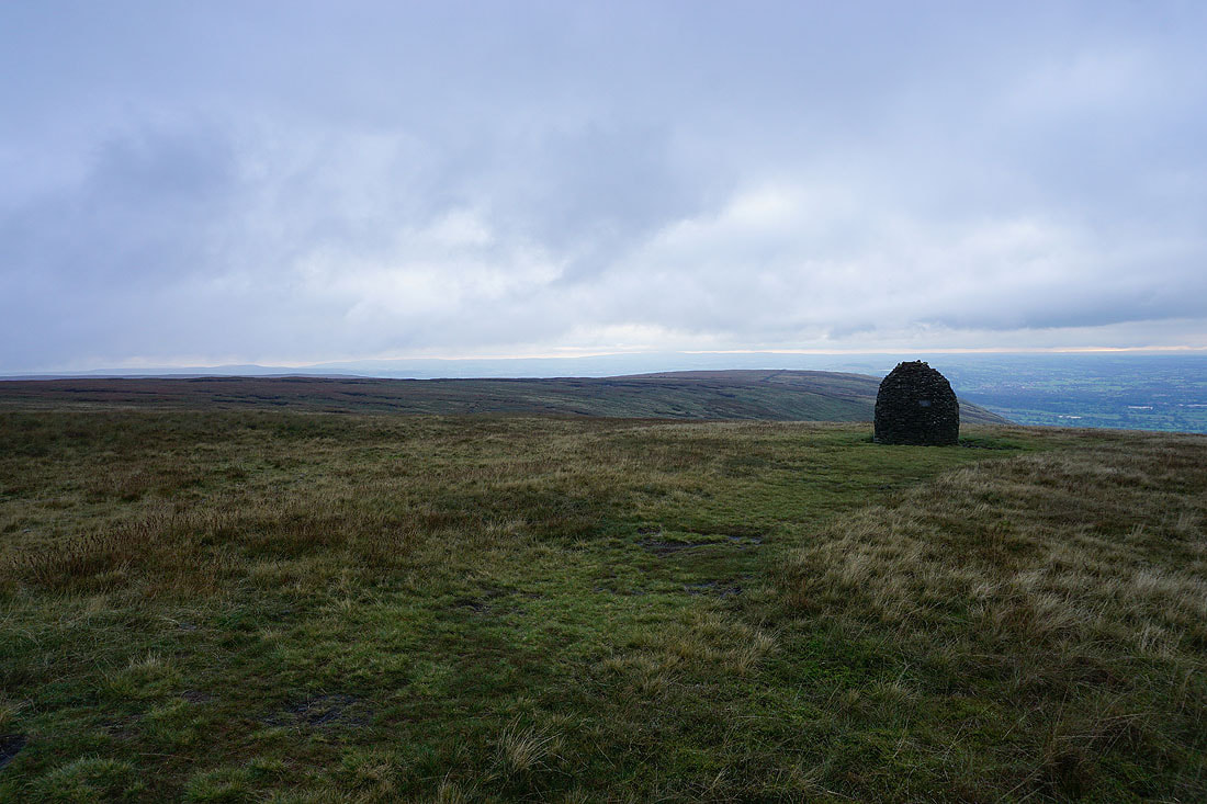
Mearley Moor from the Scout Cairn
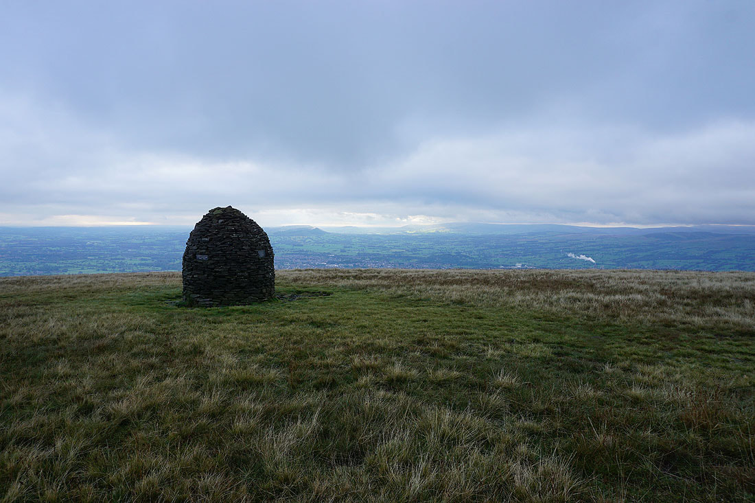
Longridge Fell, Parlick, Fair Snape Fell and Totridge on the other side of the Ribble Valley
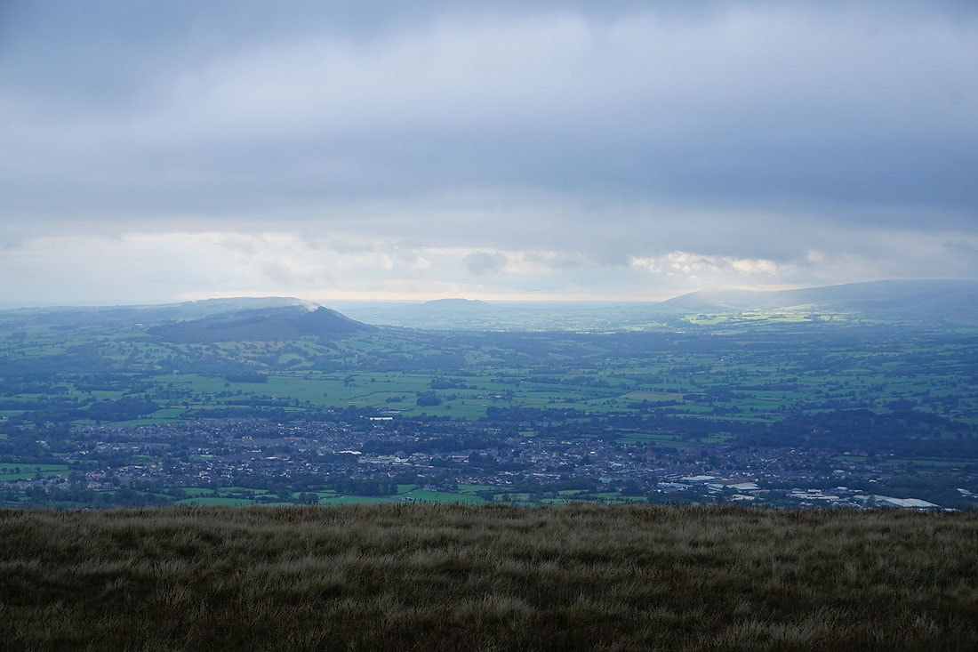
If I zoom in across Clitheroe I can see mist rising from the conifer plantations on Longrdige Fell
Longridge Fell, Clitheroe, Parlick, Fair Snape Fell and Totridge from Mearley Moor
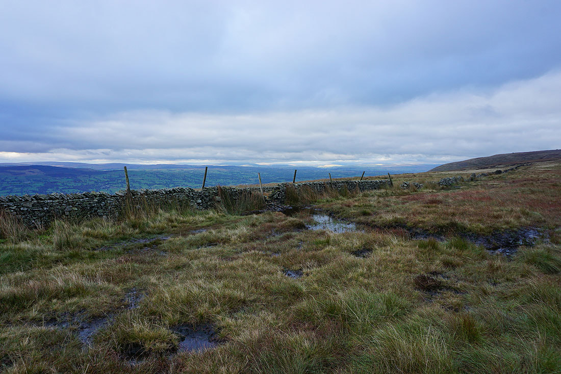
and if I look up the Ribble Valley I can see some sunshine on the western fells of the Yorkshire Dales
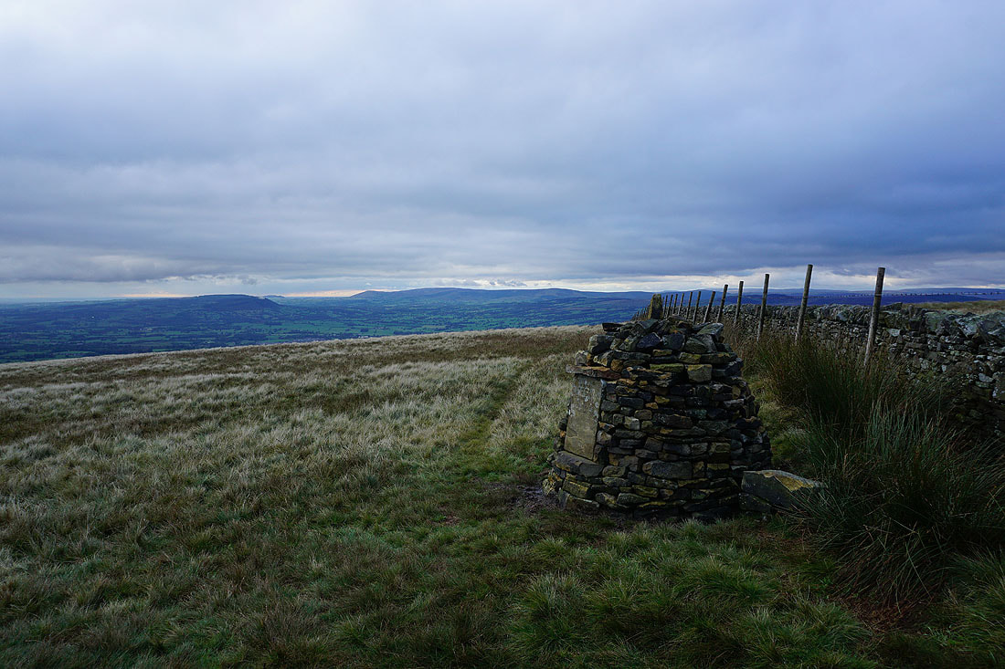
Longridge Fell, Parlick, Fair Snape Fell and Totridge from the Clayton-le-Moors Harriers cairn
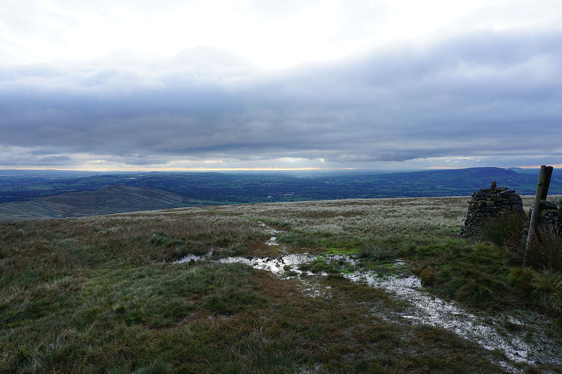
Looking down the Ribble Valley
The West Pennine Moors in the distance
The setting sun lights up the clouds..
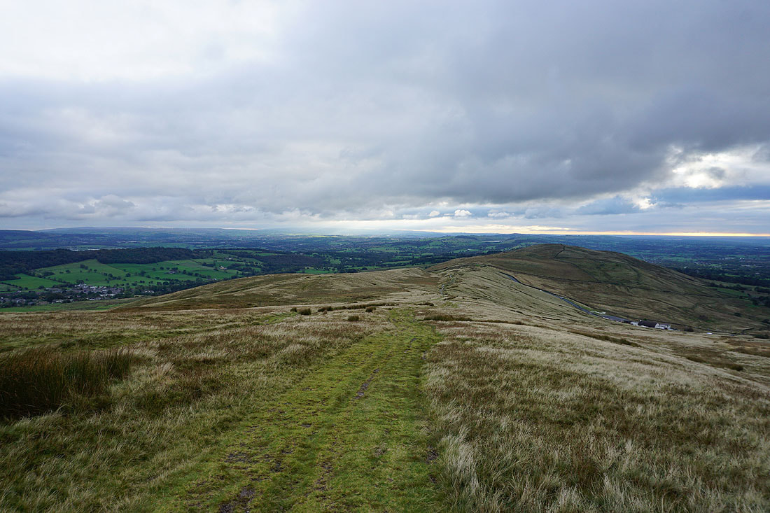
Heading back to the Nick of Pendle
A last shot across the Ribble Valley to the Forest of Bowland
