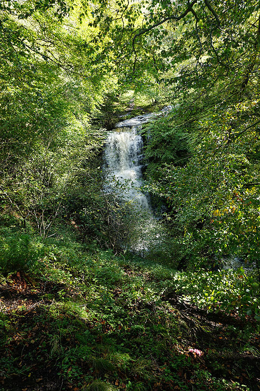
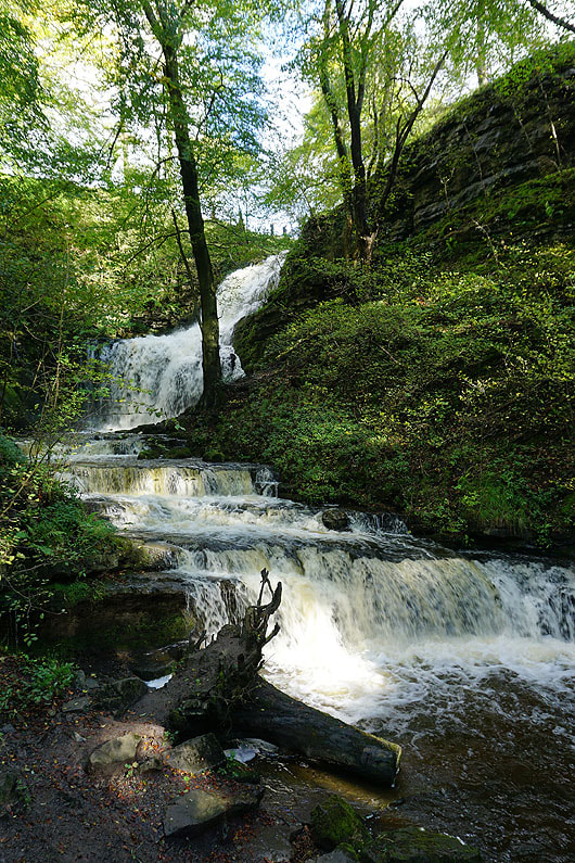
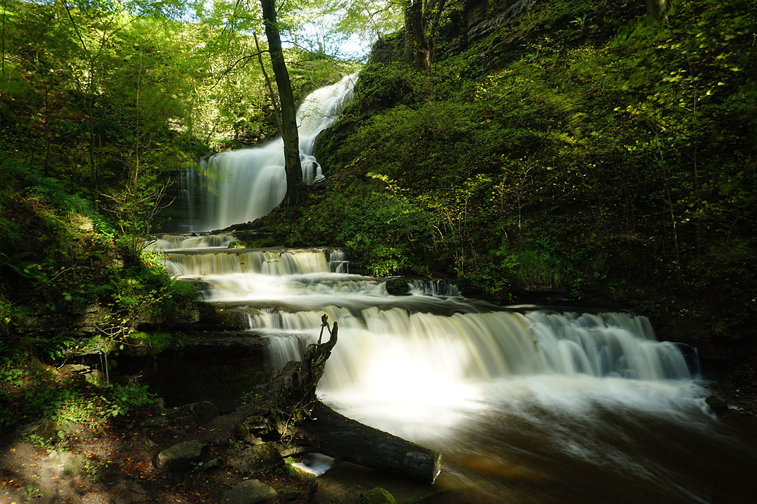
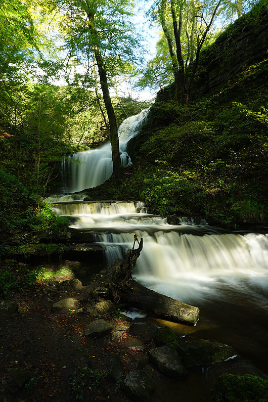
4th October 2020 - Scaleber Force and Warrendale Knotts
Walk Details
Distance walked: 12.8 miles
Total ascent: 1960 ft
OS map used: OL2 - Yorkshire Dales, Southern & Western areas
Time taken: 6 hrs
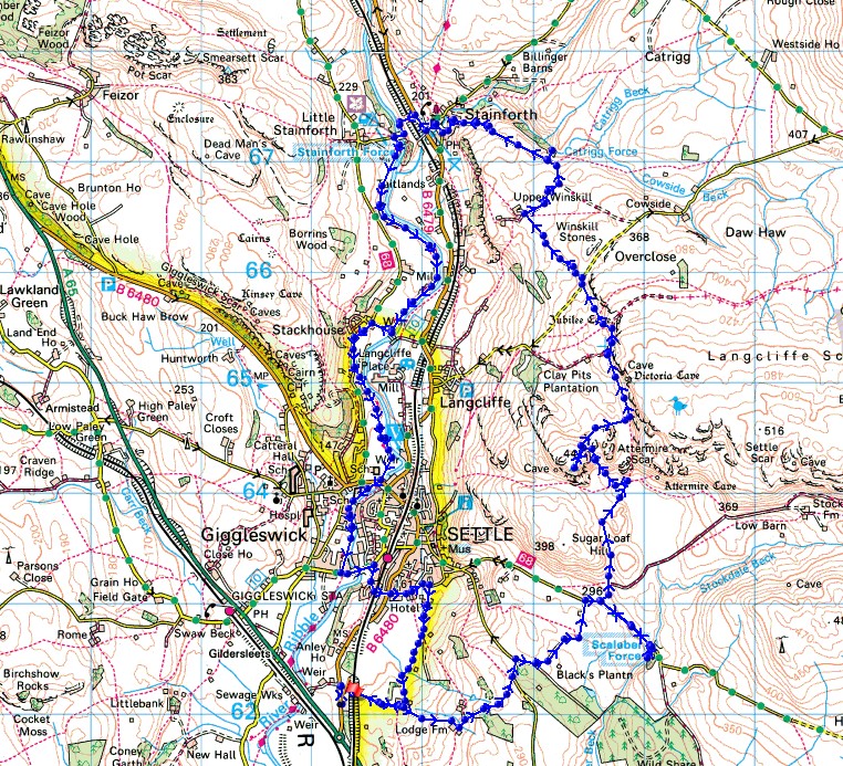
Route description: B6480-Lodge Road-Lambert Lane-High Hill Lane-Scaleber Force-High Hill Lane-Warrendale Knotts-Winskill Stones-Upper Winskill-Pennine Bridleway-Catrigg Force-Pennine Bridleway-Stainforth-Stainforth Force-Ribble Way-Penny Bridge-Station Road-Cammock Lane-B6480-Ingfield Lane-Brockhole Lane-Lodge Road-B6480
After all of yesterday's rain I thought it would be a good time to pay a visit to two of Ribblesdale's waterfalls, Scaleber Force and Catrigg Force. Instead of starting from Settle, which I would have done in normal times, I started from a layby on the B6480 just north of the roundabout with the A65. It had the advantage of being quiet and had access to the track of Lodge Road, though it did mean a walk along the grass verge to get to it. Before heading up Lodge Road I checked whether the footbridge over the River Ribble at the end of the track past Turnpike House actually existed or not, as it was on the route that I wanted to follow. According my OS map there was one, but on a certain online map there wasn't, and there isn't. Finding out saved me the disappointment of retracing my steps and a long detour. Both waterfalls were in fine form, with so much coming down Scaleber Force I couldn't get up onto the ledge that I took photos from on my last visit. I had some beautiful autumn weather for this walk, with great views across Ribblesdale from Warrendale Knotts, though as I was following the Ribble Way south to Settle the skies clouded over, and there were a few brief light showers as I made my way back to where I was parked.
From where I parked in the layby on the B6480 just north of the roundabout with the A65, I walked north along the verge to reach the track of Lodge Road on the right. I followed this east to Lodge Farm, and then up through Cowpasture Plantation to the top of Mitchell Lane, where I took the track of Lambert Lane on the right across to High Hill Lane. Here I turned right and walked along High Hill Lane to visit Scaleber Force before retracing my steps to take Stockdale Lane on the right. I wasn't on Stockdale Lane for long as I left it for a footpath on the left that took me north to the Dales High Way beneath Warrendale Knotts. I briefly followed the Dales High Way west before making a pathless ascent onto Warrendale Knotts to visit the trig point, and have a stop for lunch. After this break I made my way across to the path beneath Attermire Scar and followed it north to meet the Pennine Bridleway, where I crossed a ladder stile and made my way across to the road up from Langcliffe. Once over a cattle grid I took the track on the left down to Upper Winskill and then the Pennine Bridleway on the right, which I followed down to Stainforth, with a detour to Catrigg Force. I made my way through Stainforth to the B6479 and then crossed the road to walk down the lane to Stainforth Bridge over the River Ribble. I joined the trail of the Ribble Way here and followed it south to Settle until I reached Station Road, where I left the trail and followed Station Road east across Penny Bridge to its junction with Cammock Lane. I then walked up Cammock Lane to the B6480, crossed the road, and walked along Ingfield Lane until I reached the track of Brockhole Lane on the right. I then followed Brockhole Lane south to reach Lodge Road, which took me west to the B6480 and a walk along the verge back to where I was parked.
Route map
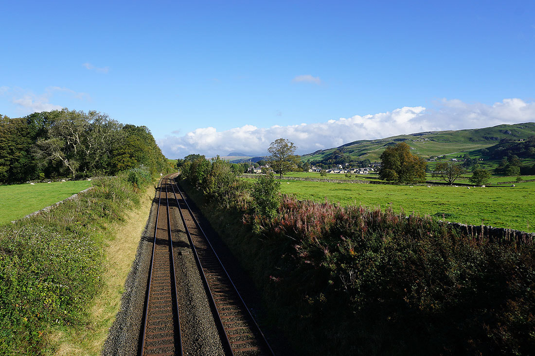
Crossing the Settle to Carlisle line with Penyghent in the distance, as I follow the bridleway of Lodge Road uphill
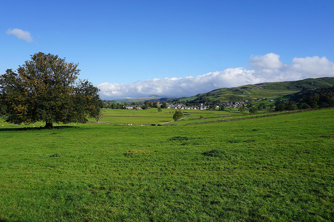
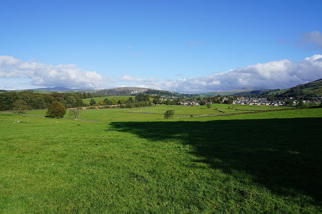
Views of Penyghent, Settle, Ribblesdale and Ingleborough..
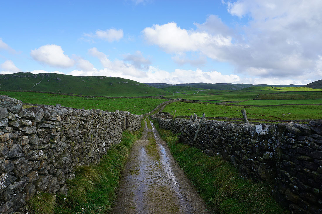
Following Lodge Road up to Black's Plantation
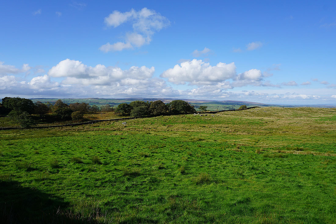
The Forest of Bowland in the distance to my left
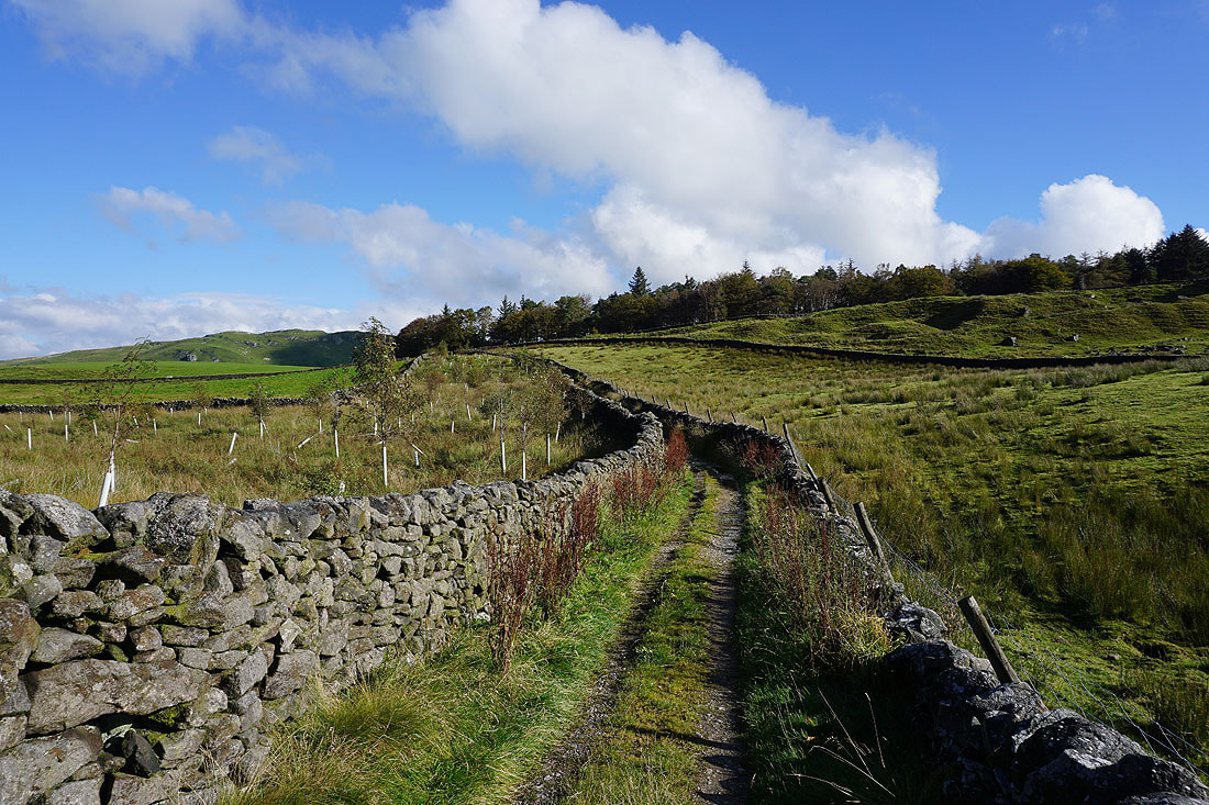
On the track of Lambert Lane..
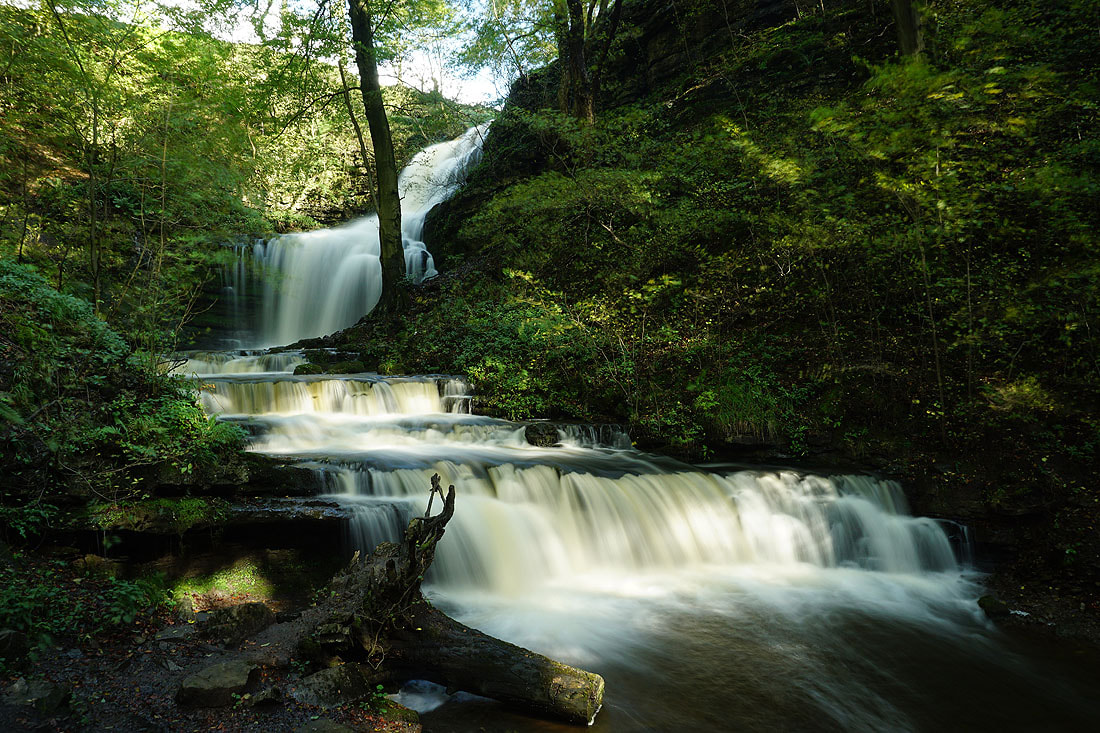
Scaleber Force...
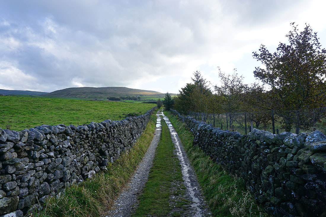
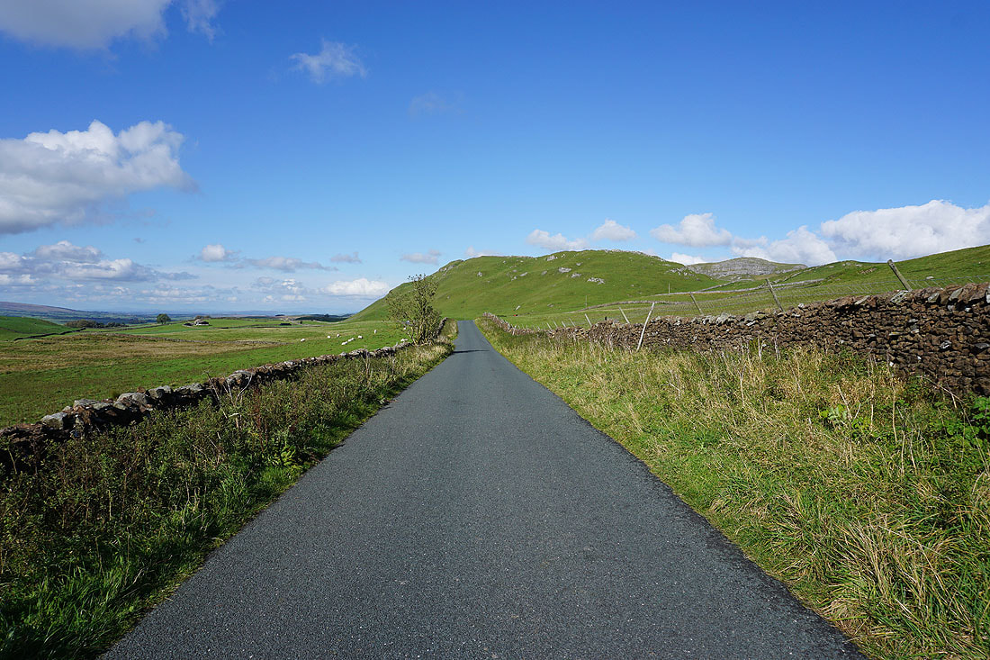
Heading back west along High Hill Lane with the limestone hills of Warrendale Knotts on the right
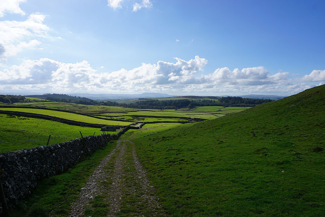
Pendle Hill in the distance as I turn round after leaving Stockdale Lane for the footpath to Warrendale Knotts
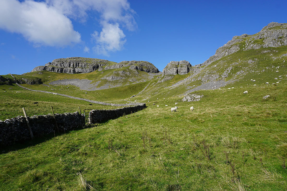
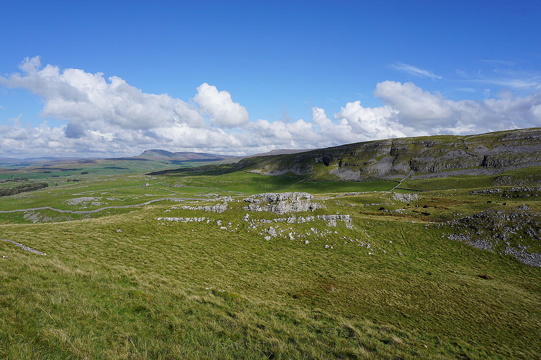
Warrendale Knotts bathed in autumnal sunshine. I'm going to climb up to the gap in the crags above the wall corner.
Penyghent and Attermire Scar as I head up to the trig point on Warrendale Knotts
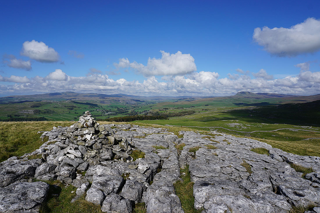
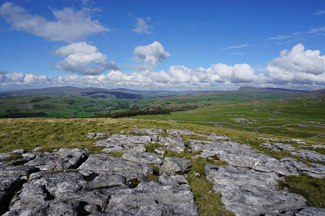
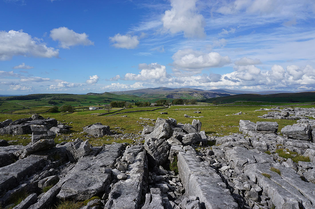
A great view of Ingleborough, Whernside, Ribblesdale and Penyghent from Warrendale Knotts
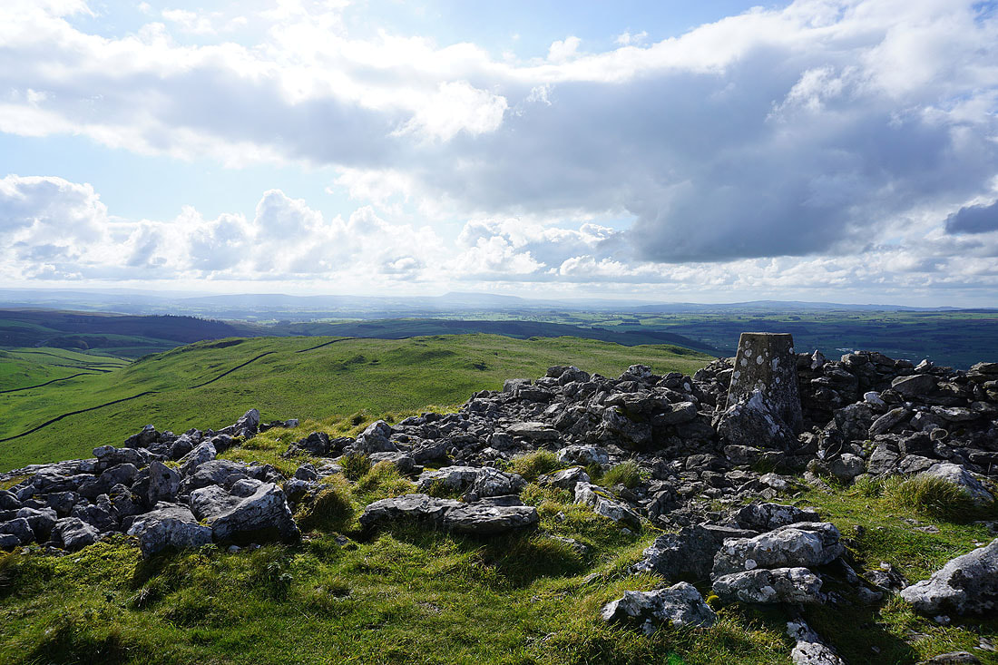
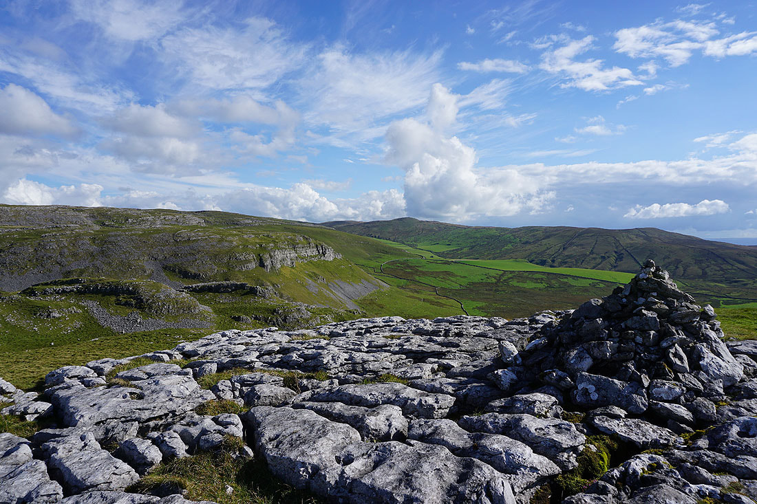
Pendle Hill in the distance to the south
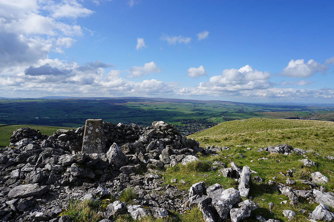
The Forest of Bowland, and I can make out a bit of Settle in the valley below
A beautiful autumnal day in Ribblesdale
Attermire Scar and Rye Loaf Hill
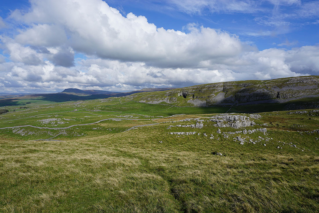
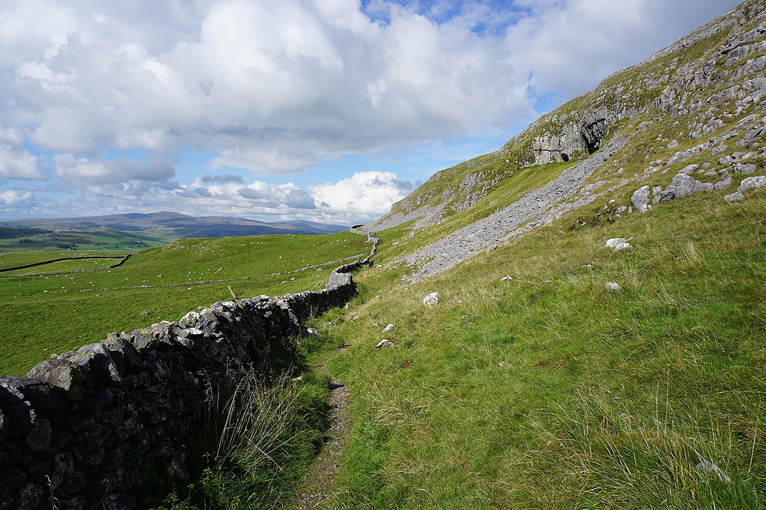
Penyghent, Fountains Fell and Victoria Cave as I leave Warrendale Knotts
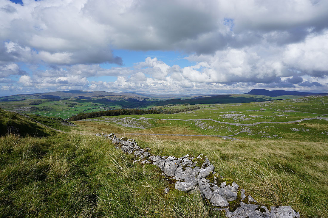
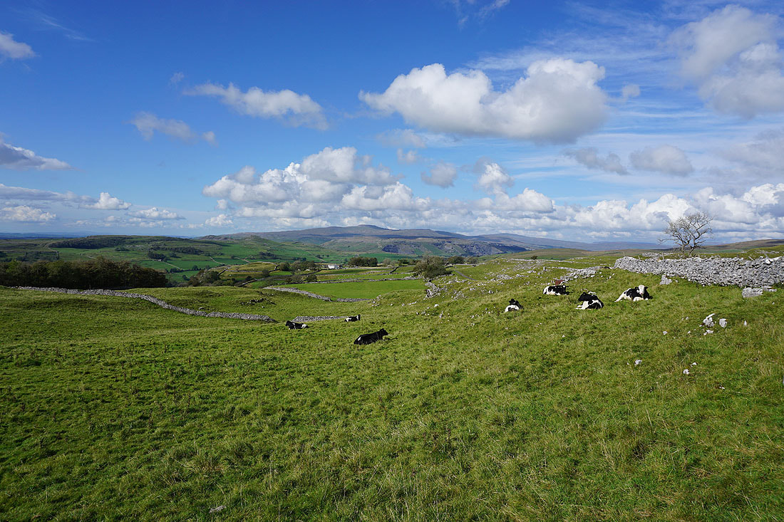
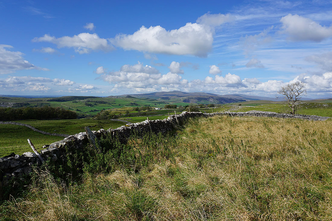
A ruined wall provides a foreground for another photo of the view up Ribblesdale
On the path beneath Victoria Cave
Ingleborough on the other side of Ribblesdale from the road to Langcliffe..
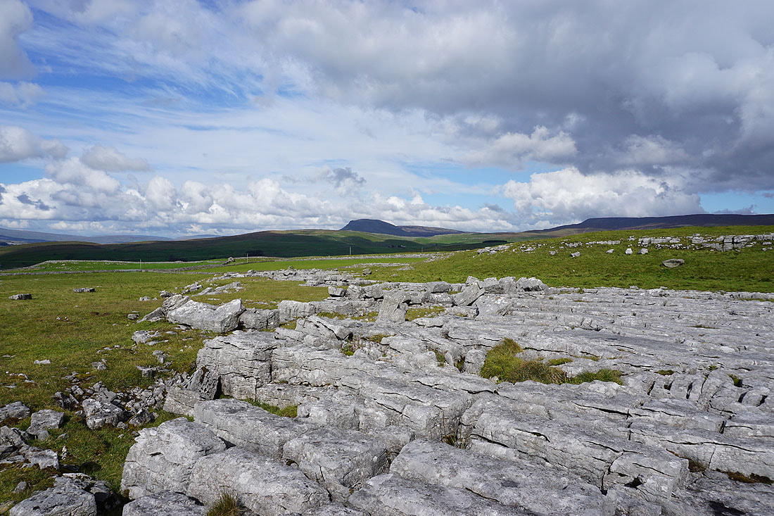
Penyghent and Fountains Fell from Winskill Stones
and Ingleborough on the other side of Ribblesdale
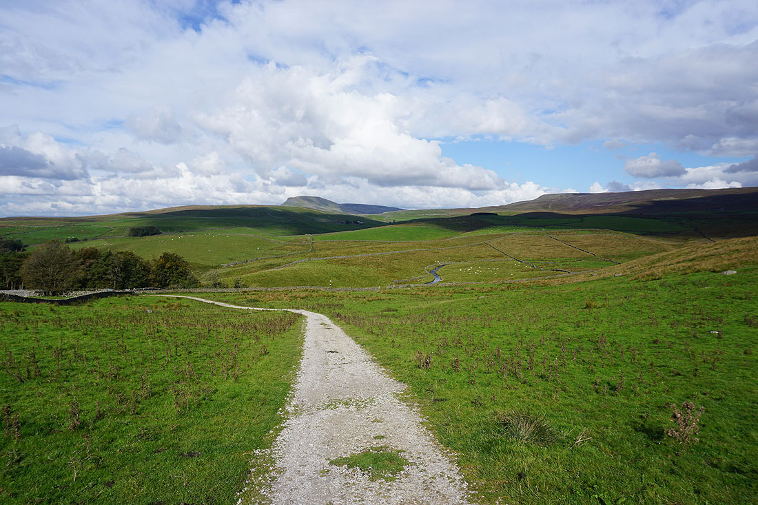
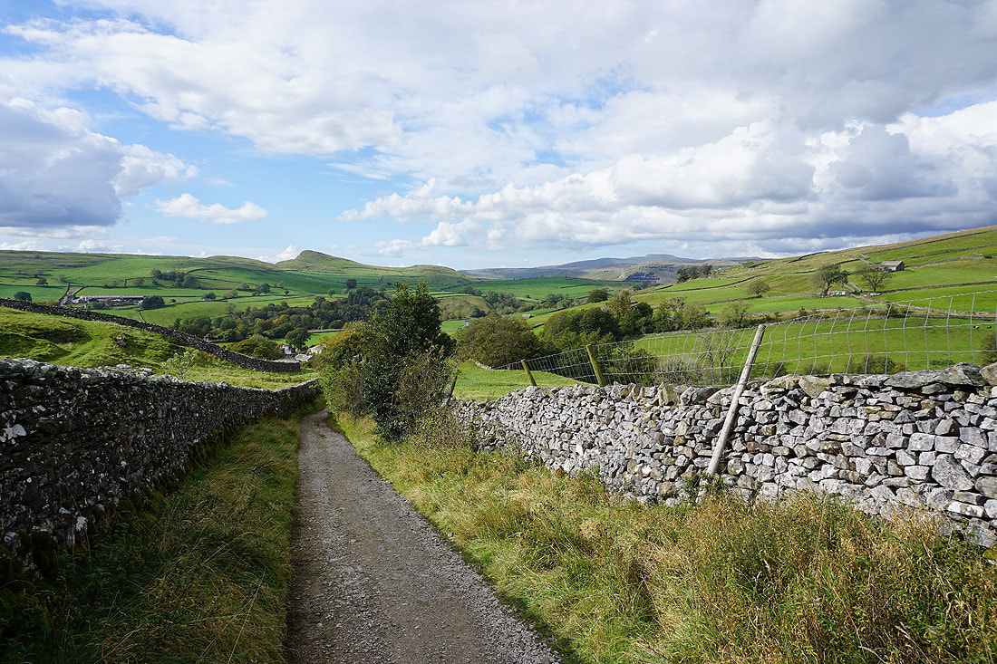
On the Pennine Bridleway to Stainforth, with Catrigg Beck ahead, which has the waterfall of Catrigg Force on it
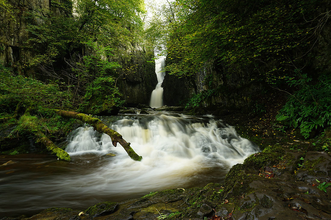
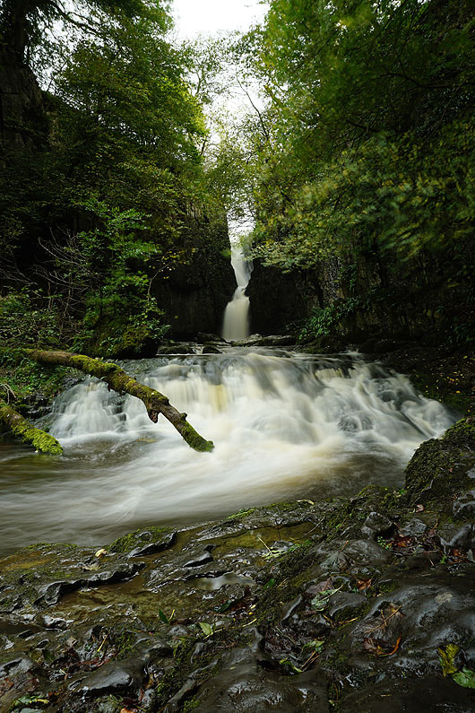
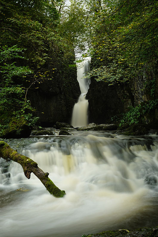
The waterfall of Catrigg Force...
Heading down to Stainforth with the pointed hill of Smearsett Scar on the other side of Ribblesdale
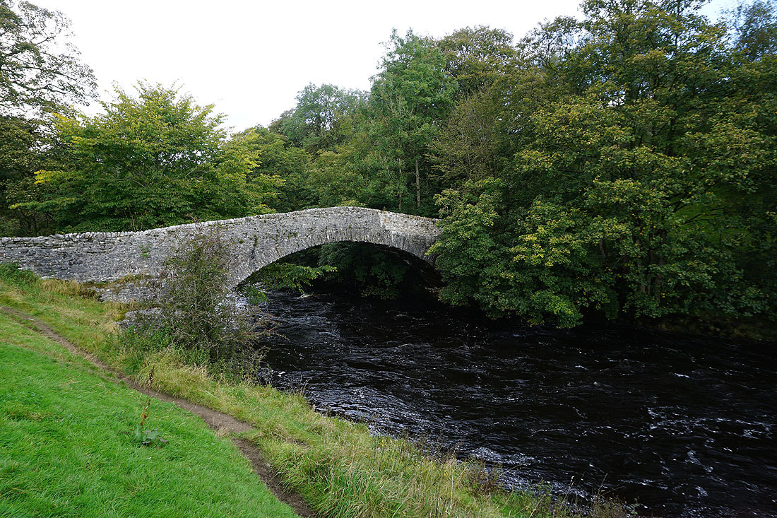
Stainforth Bridge over the River Ribble
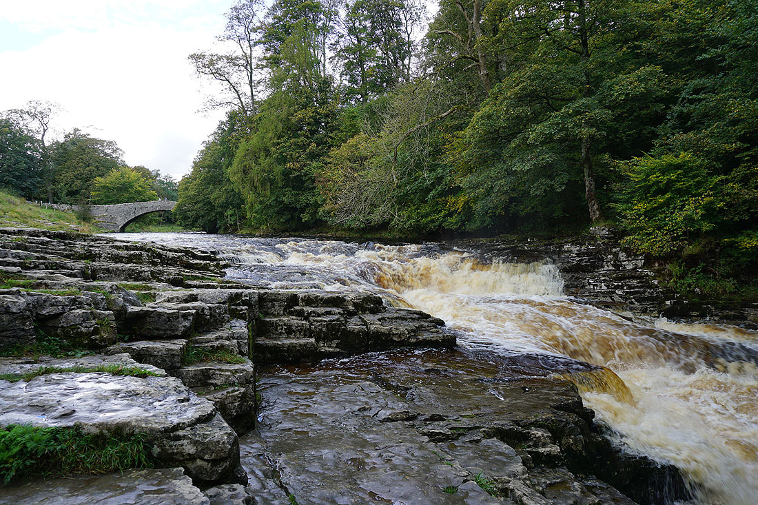
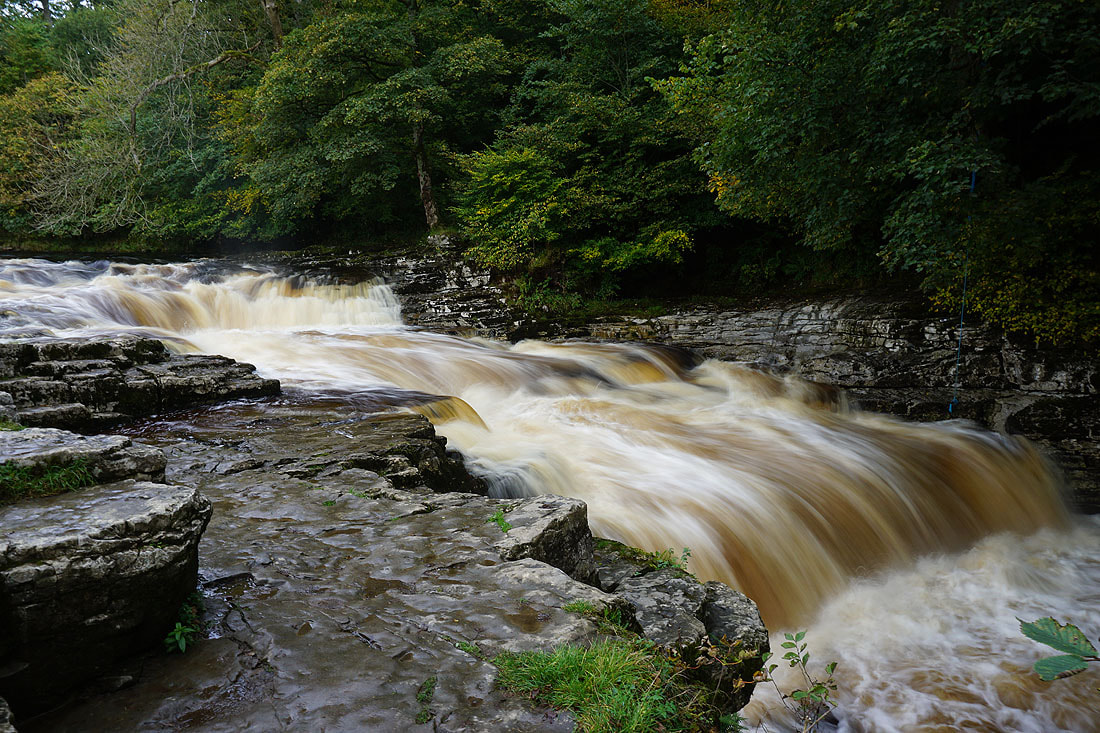
Stainforth Force..
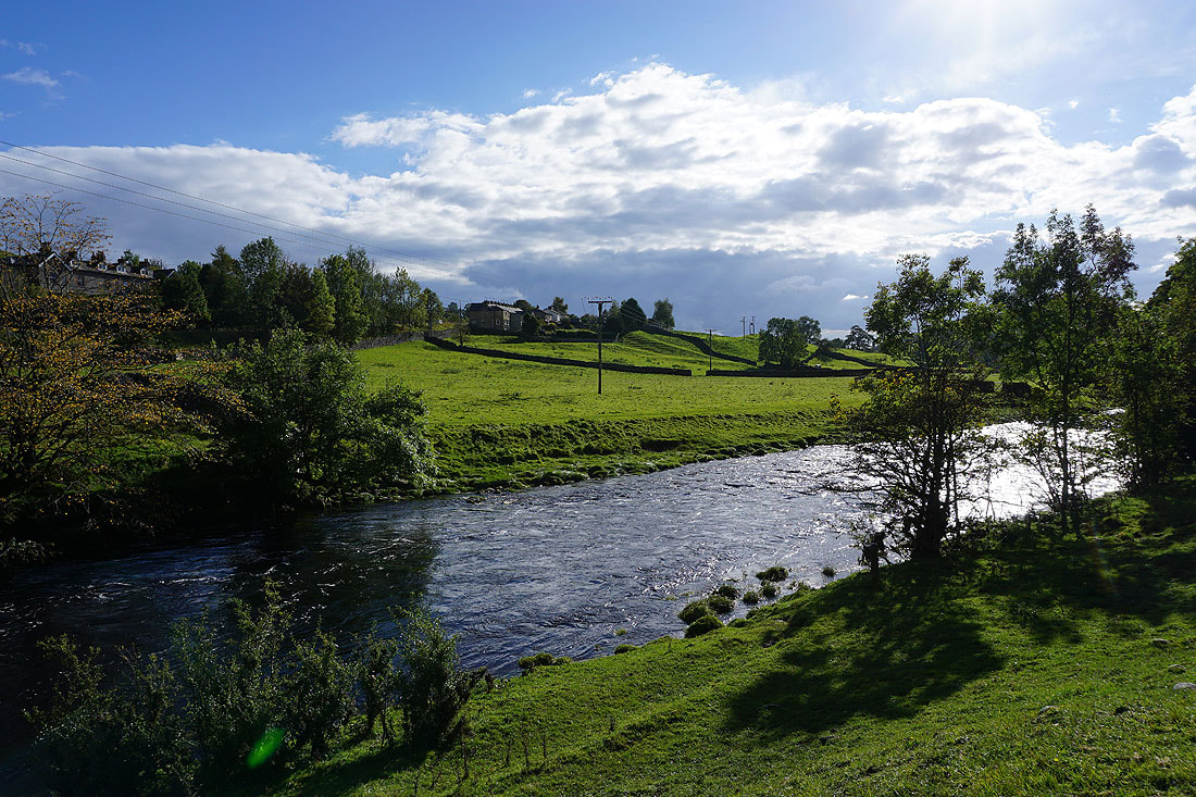
By the River Ribble as I follow the Ribble Way south to Settle
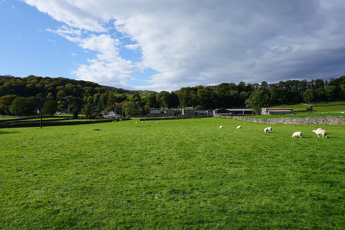
Past the hamlet of Stackhouse
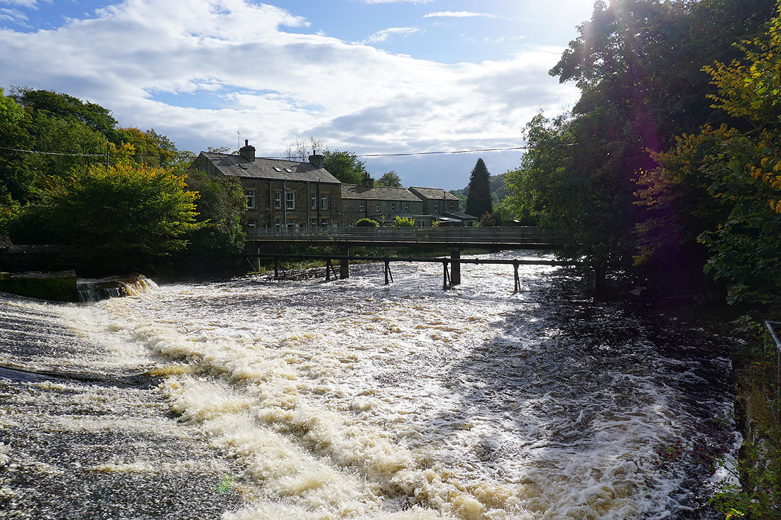
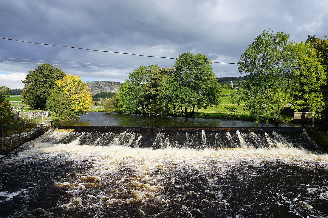
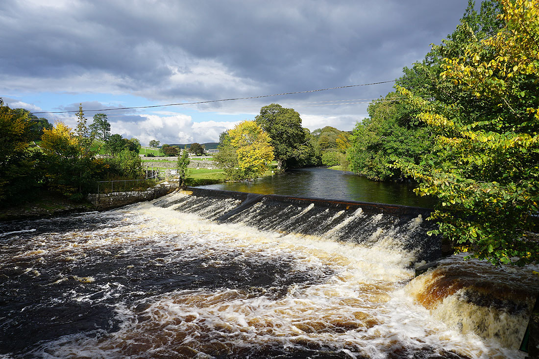
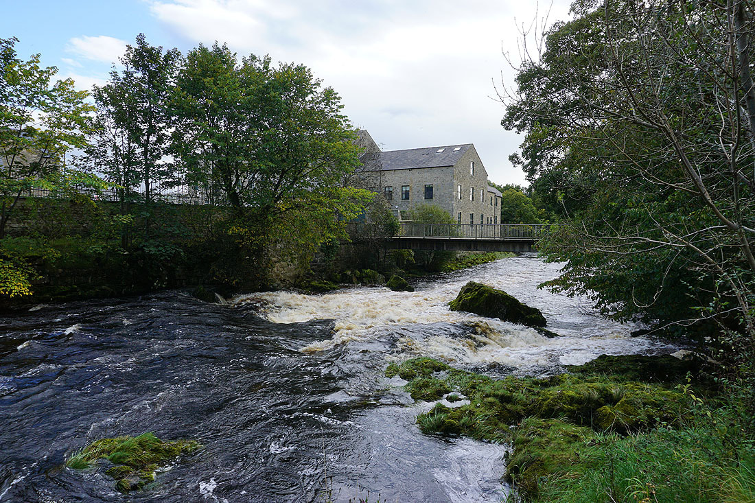
The weir on the Ribble below Langcliffe...
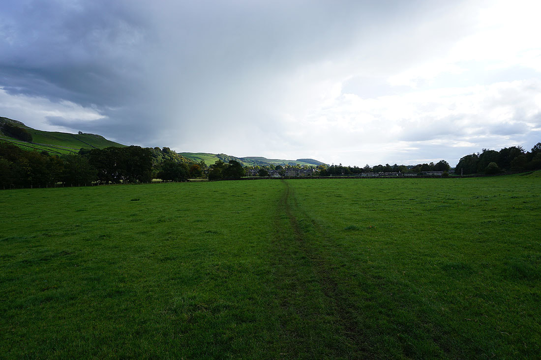
Approaching Settle on the Ribble Way
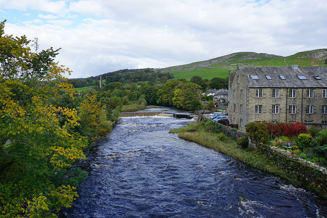
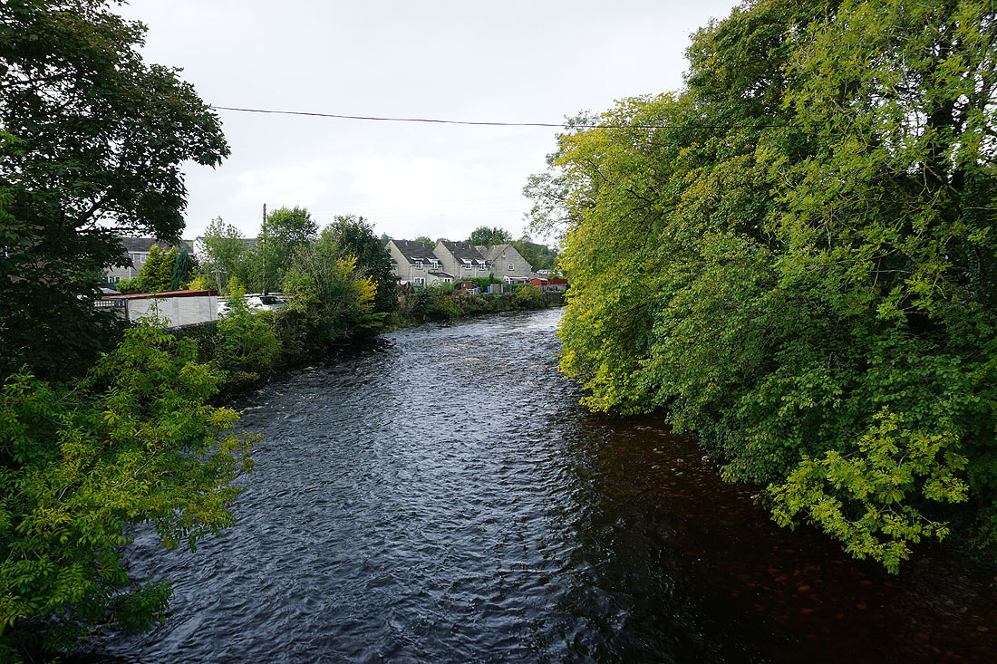
By the River Ribble in Settle..
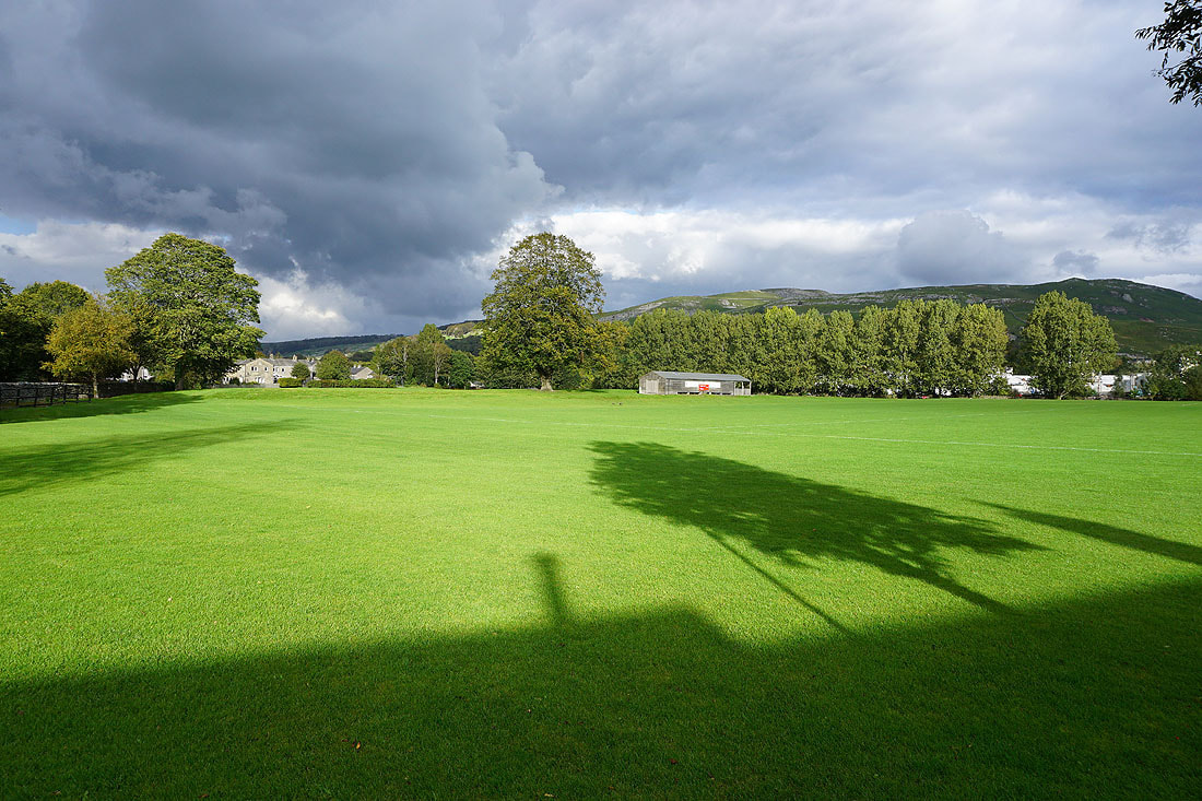
Bright sunshine on the pitch of Giggleswick FC
Crossing the River Ribble on Penny Bridge
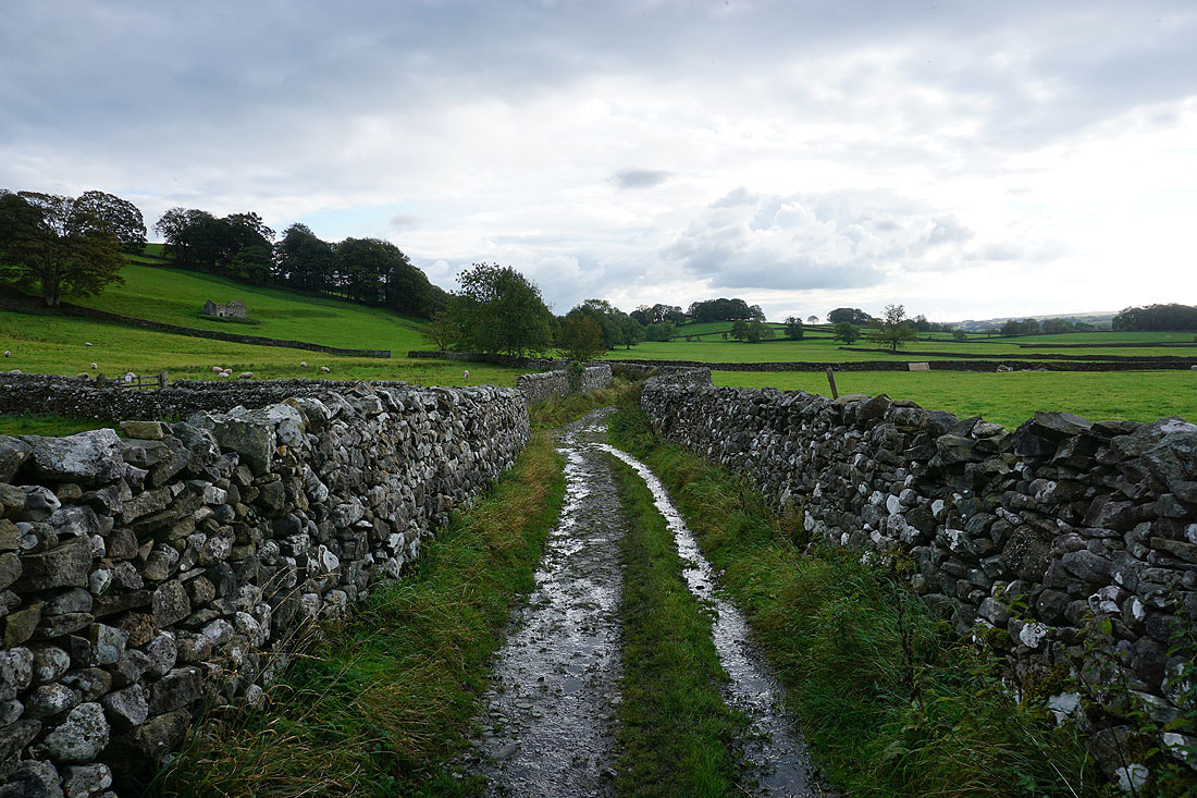
Heading south on the track of Brockhole Lane
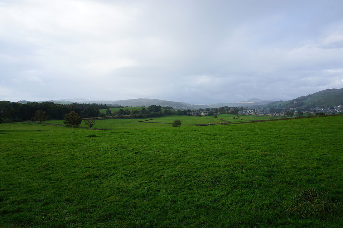
As I walk west along Lodge Road back to where I'm parked, a shower passes over Settle and Ribblesdale
