4th September 2016 - Pendle Hill
Walk Details
Distance walked: 7.0 miles
Total ascent: 1266 ft
OS map used: OL21 - South Pennines
Time taken: 5 hrs
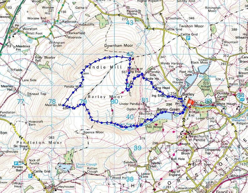
Route description: Barley-Lower Ogden Reservoir-Upper Ogden Reservoir-Ogden Clough-Mearley Moor-Worston Moor-Downham Moor-Pendle Hill-Pendle House-Pendle Way-Barley
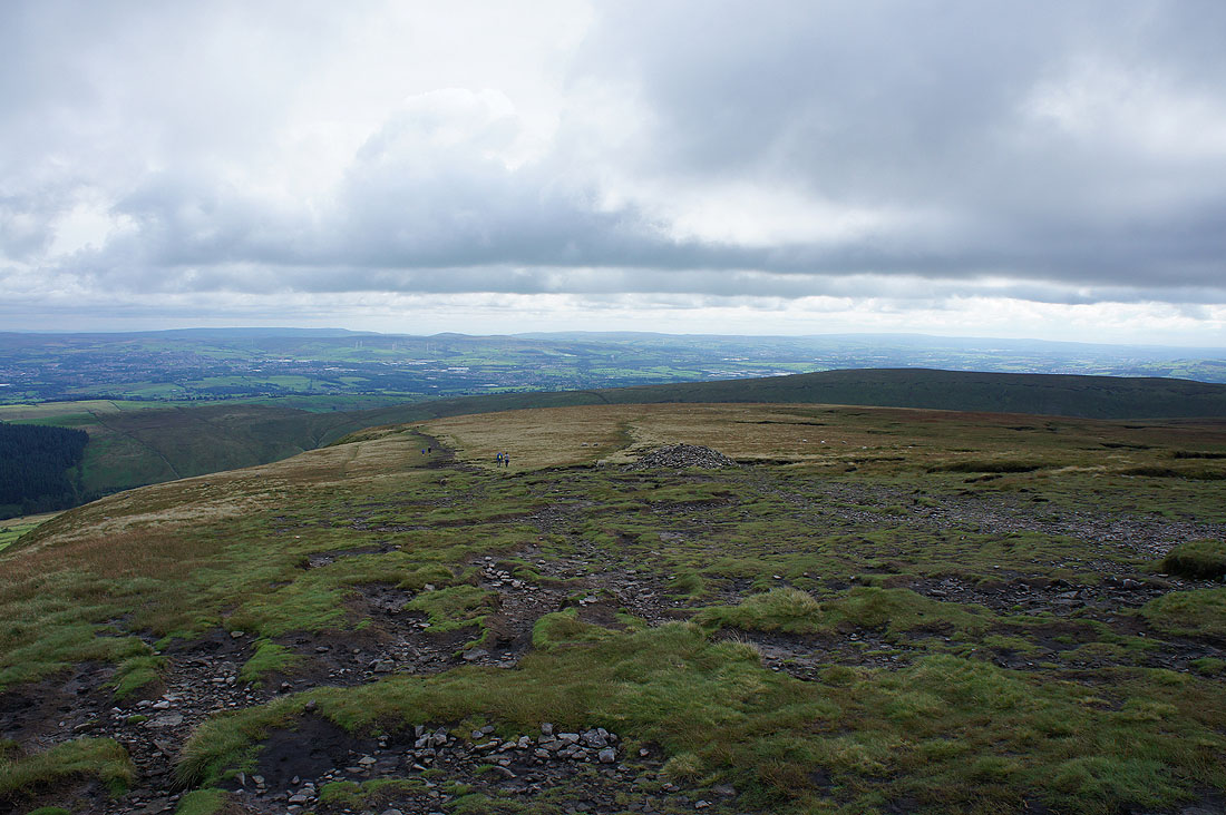
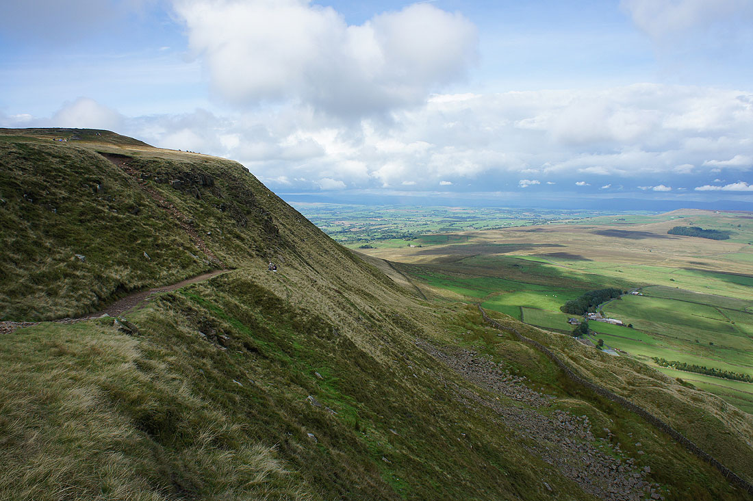
Not the walk that I had originally planned to do today but after yesterdays heavy rain it took a long time for the low cloud and grey skies to lift and break this morning. So, with the late start I decided to stay close to home and climb Pendle Hill from Barley. The sun soon started to break through after I'd set off and it turned into a reasonable afternoon with some sunny spells, a fresh breeze and good visibility to give great long distance views.
From the picnic site car park in Barley I set off by taking the access road to Lower Ogden Reservoir and then up to Upper Ogden Reservoir. I then took the path up Ogden Clough and when I'd crossed over to its western side I left it to make my way across to Mearley Moor. A walk north across boggy moorland brought me to the Scout Cairn on Worston Moor and after crossing a ladder stile I was on Downham Moor and heading for the summit. Once I'd taken in the view from the trig point I briefly followed the Pendle Way south before taking the path down the east face to Pendle House, and from there I took the Pendle Way back to Barley.
Route map
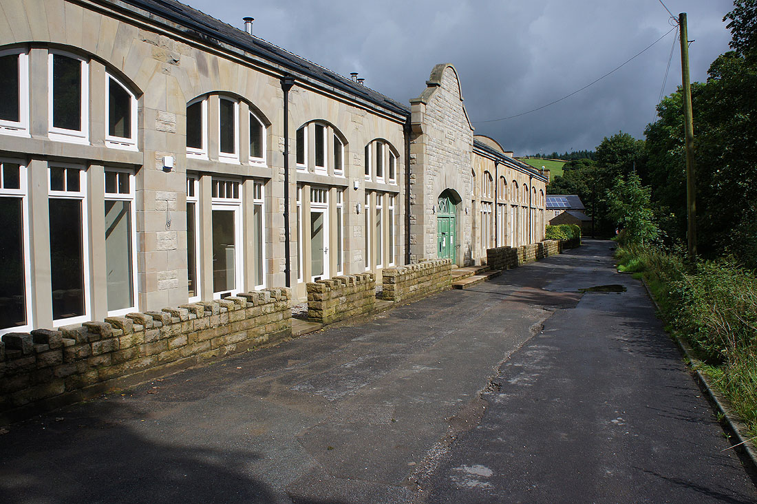
The former waterworks building has been undergoing a slow redevelopment and the ones at the far end look like they have been sold and are now occupied
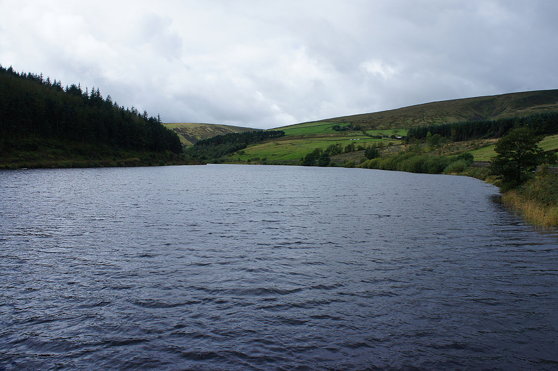
Lower Ogden Reservoir
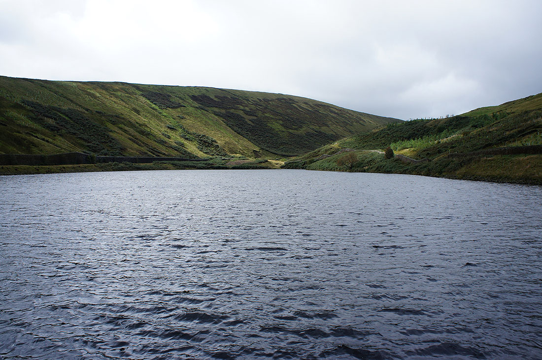
and Upper Ogden Reservoir
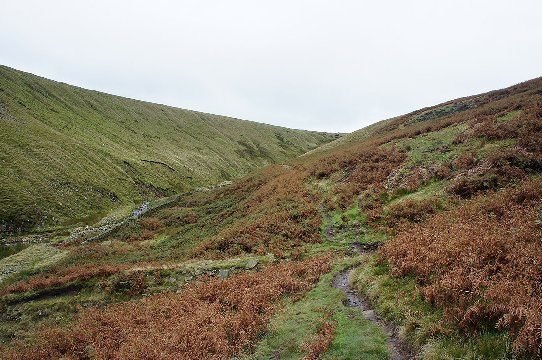
On the path up Ogden Clough
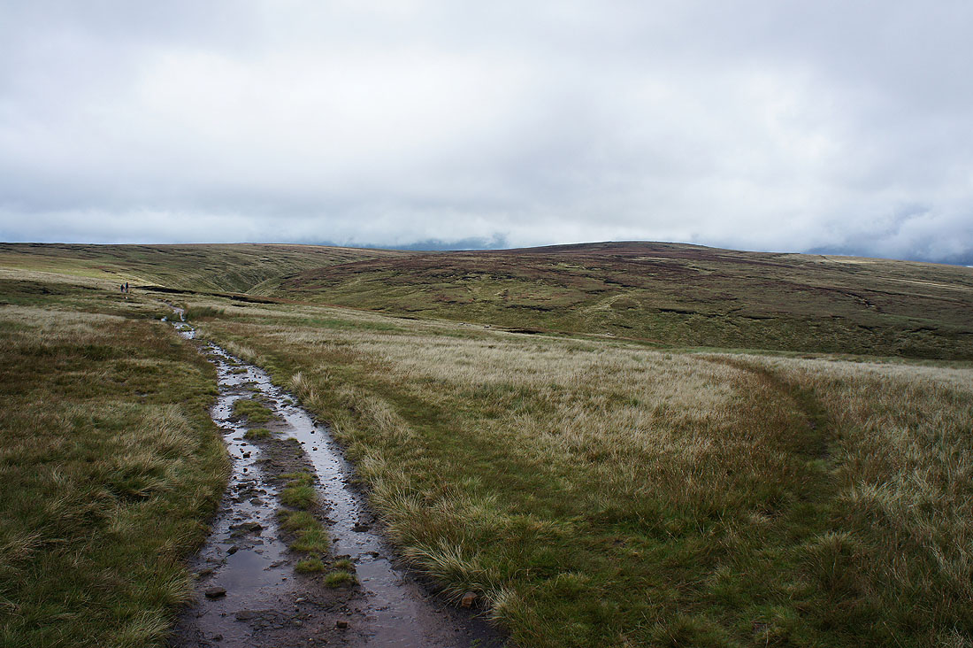
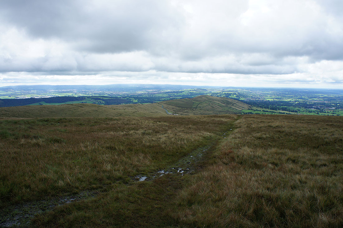
Out of Ogden Clough and heading for Mearley Moor. Looking back with the summit of Pendle Hill on the right.
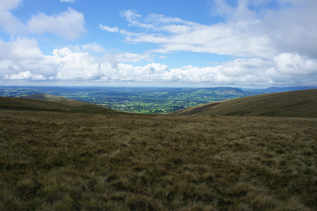
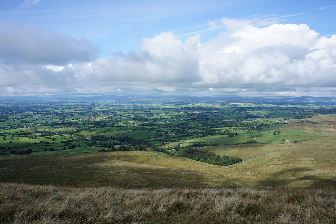
Bright skies over the Ribble Valley
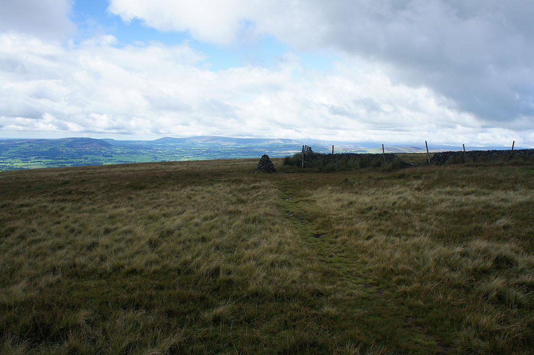
Approaching the cairn on Mearley Moor with the fells of the Forest of Bowland in the background
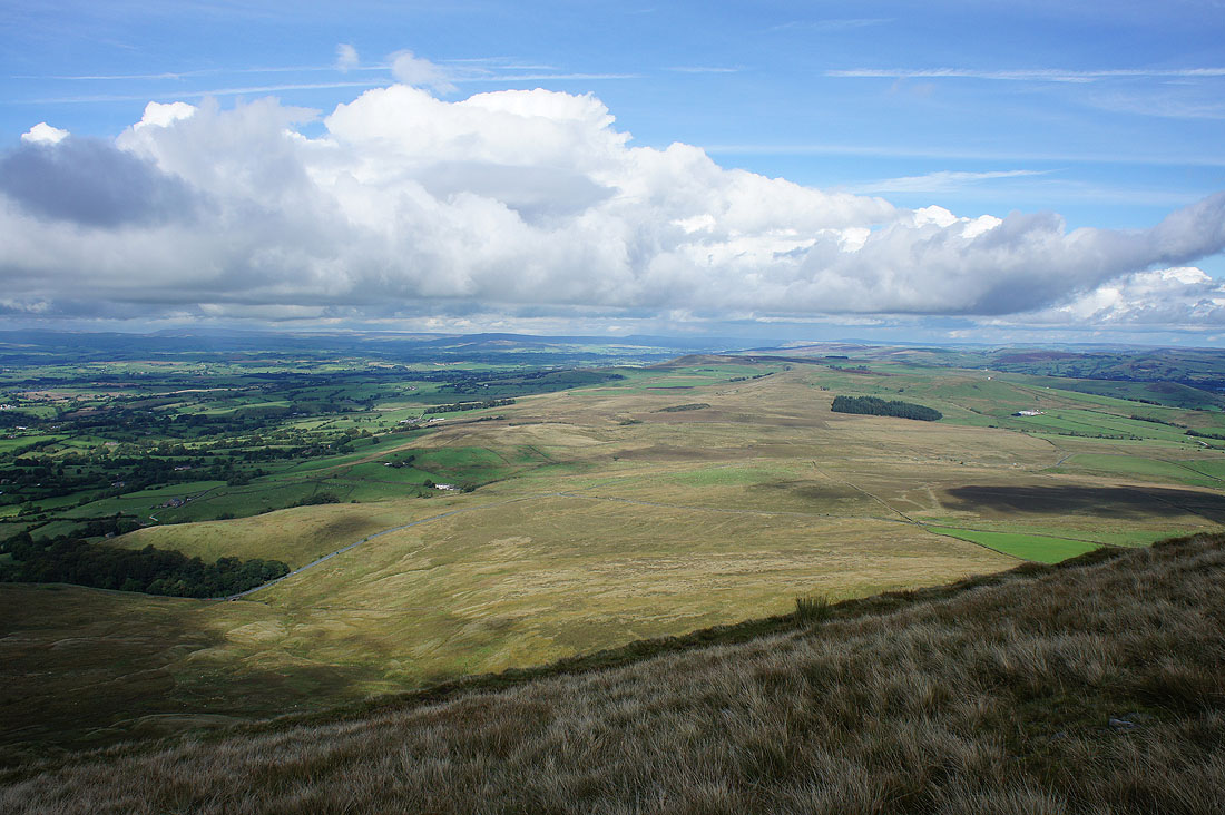
The moorland around the Nick of Pendle
Dramatic skies looking up the Ribble Valley to Ingleborough and Penyghent as I make my way up Mearley Moor...
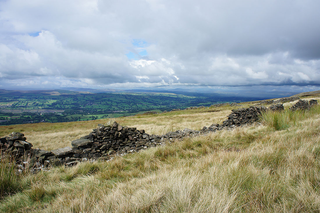
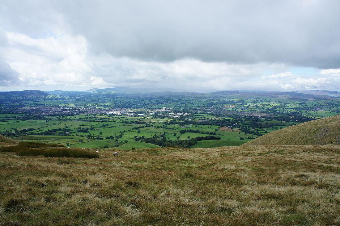
Clitheroe, the Ribble Valley and the Forest of Bowland
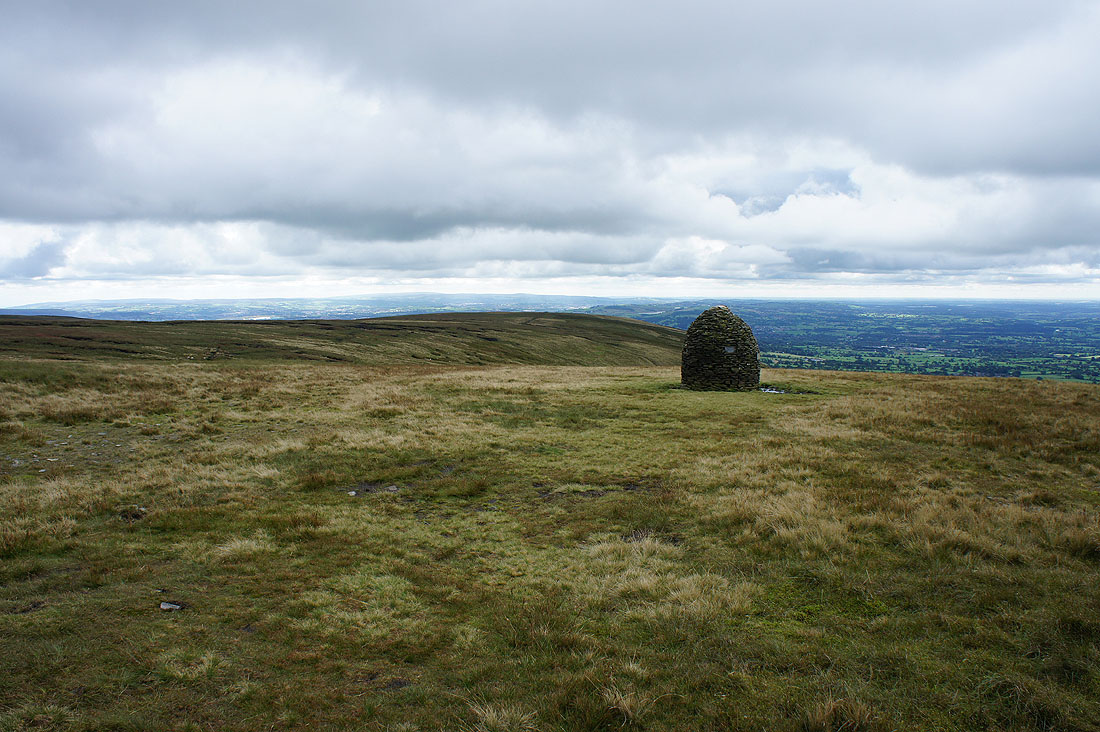
At the Scout Cairn
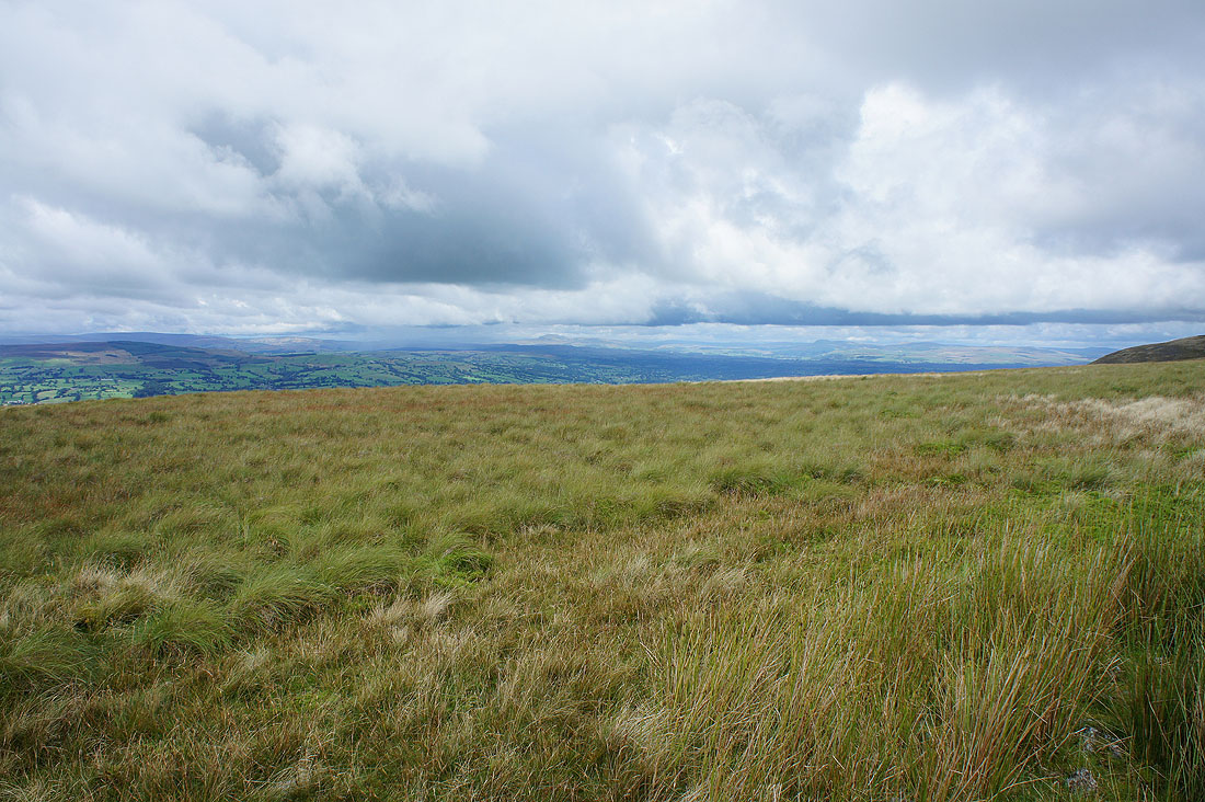
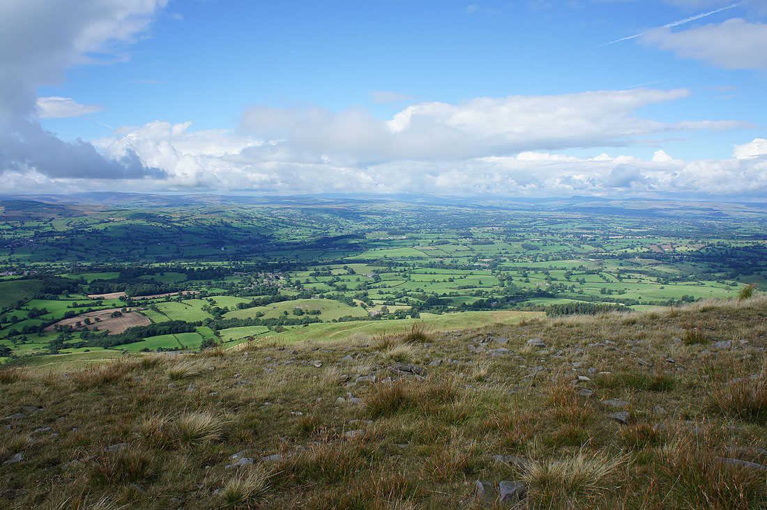
Looking up the Ribble Valley to the Yorkshire Dales..
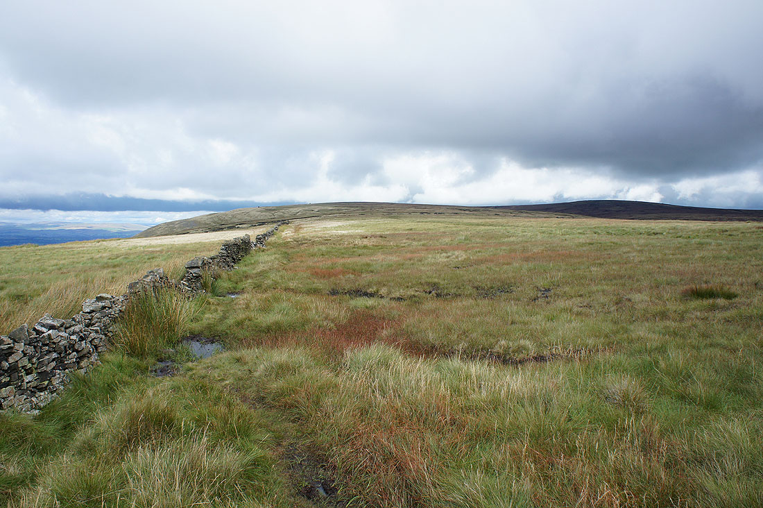
..before I crossed the stile onto Downham Moor with the Forest of Bowland in the background
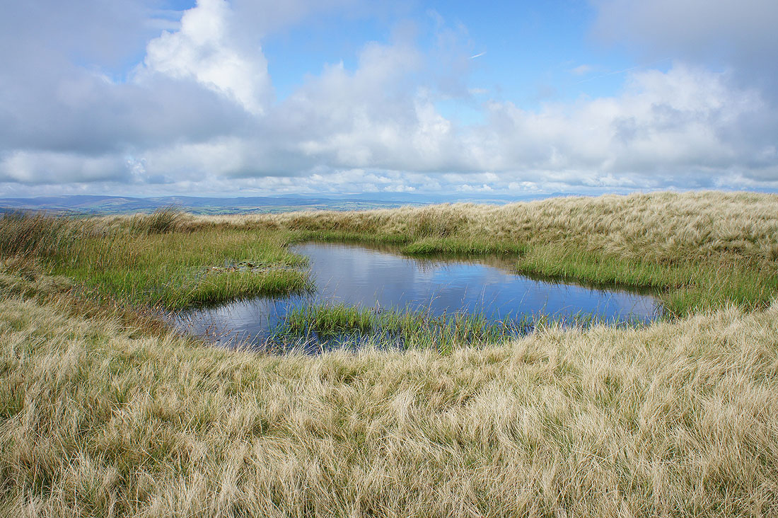
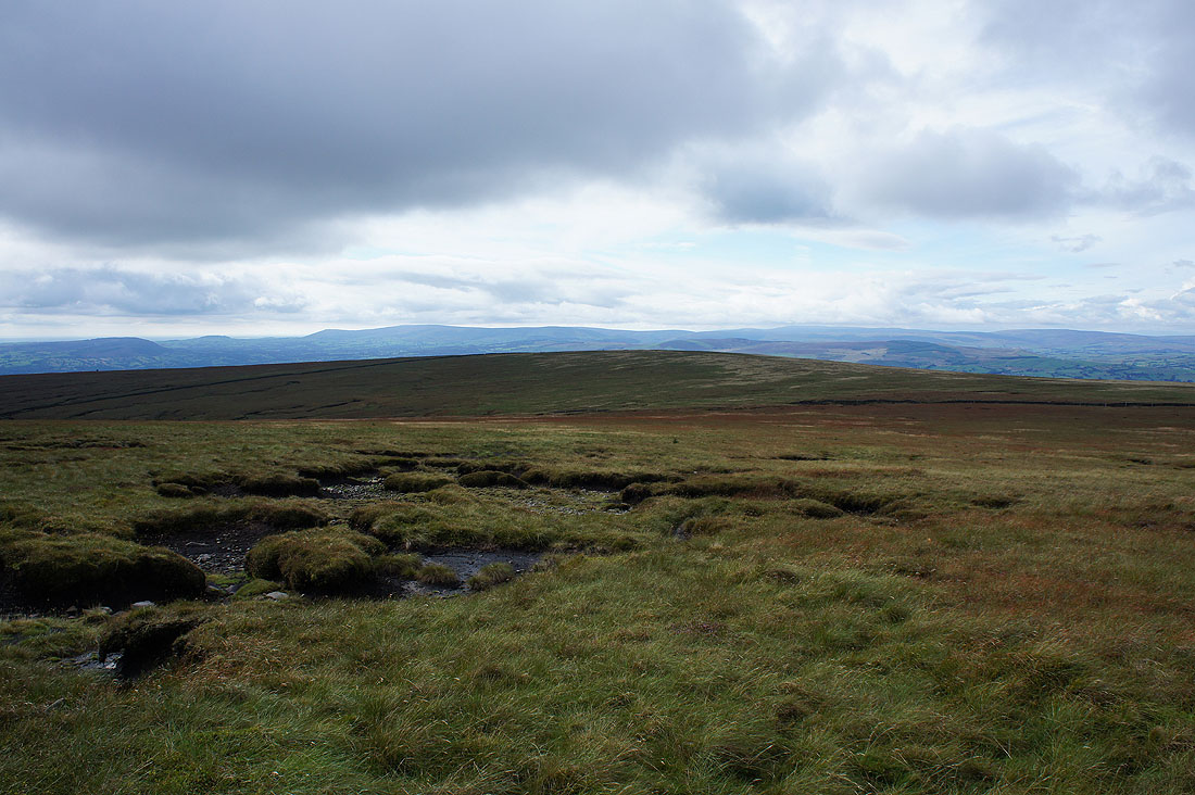
Pool on Downham Moor with water lilies growing in its left hand side
The fells of the Yorkshire Dales in the distance as I reach the northern end of Downham Moor. Ingleborough (top in cloud), Penyghent, Fountains Fell, Buckden Pike and Great Whernside.
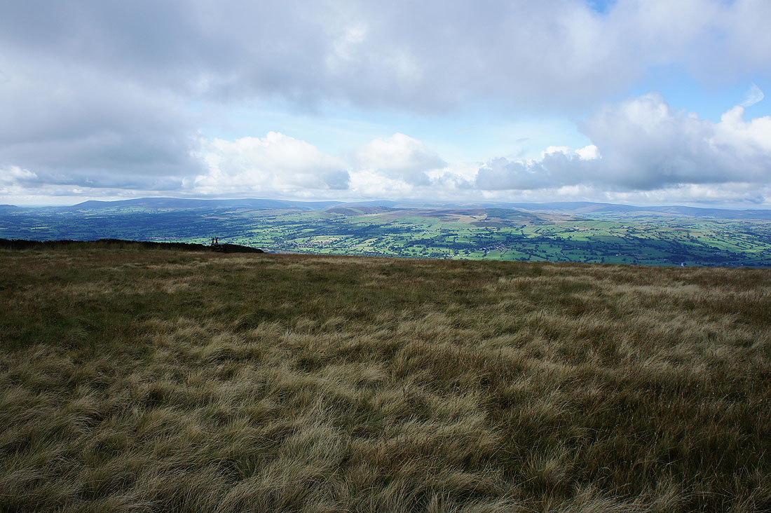
Round to the right; Barden Moor, Simon's Seat, Skipton Moor and Weets Hill
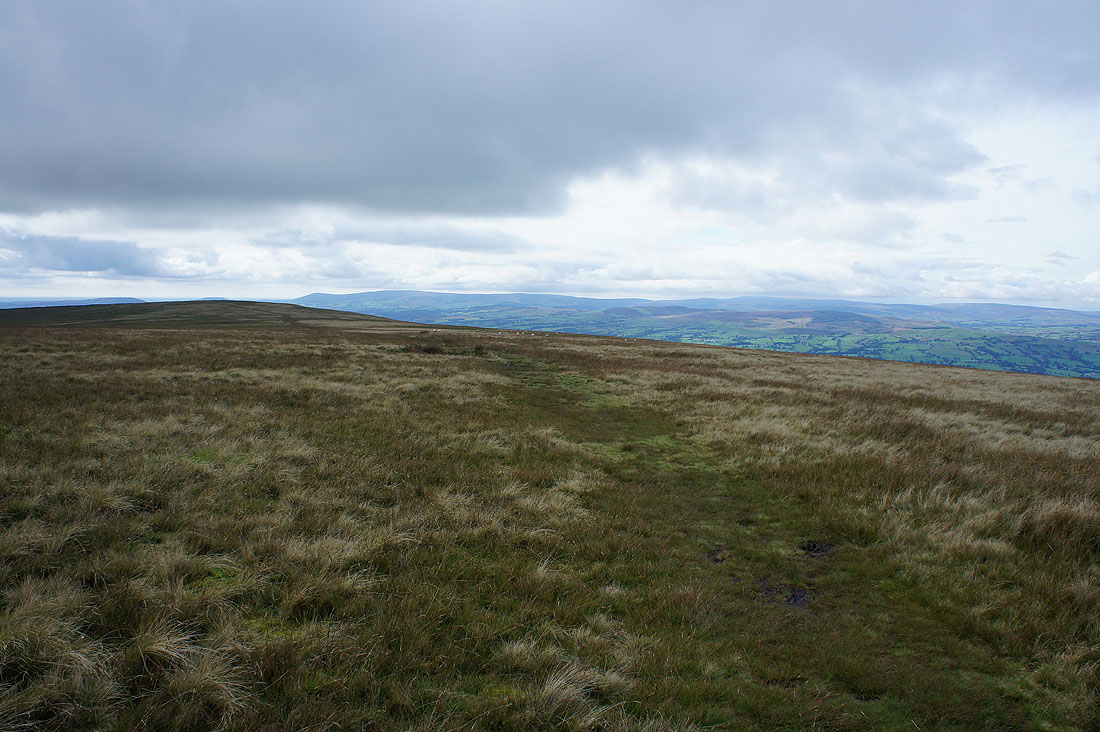
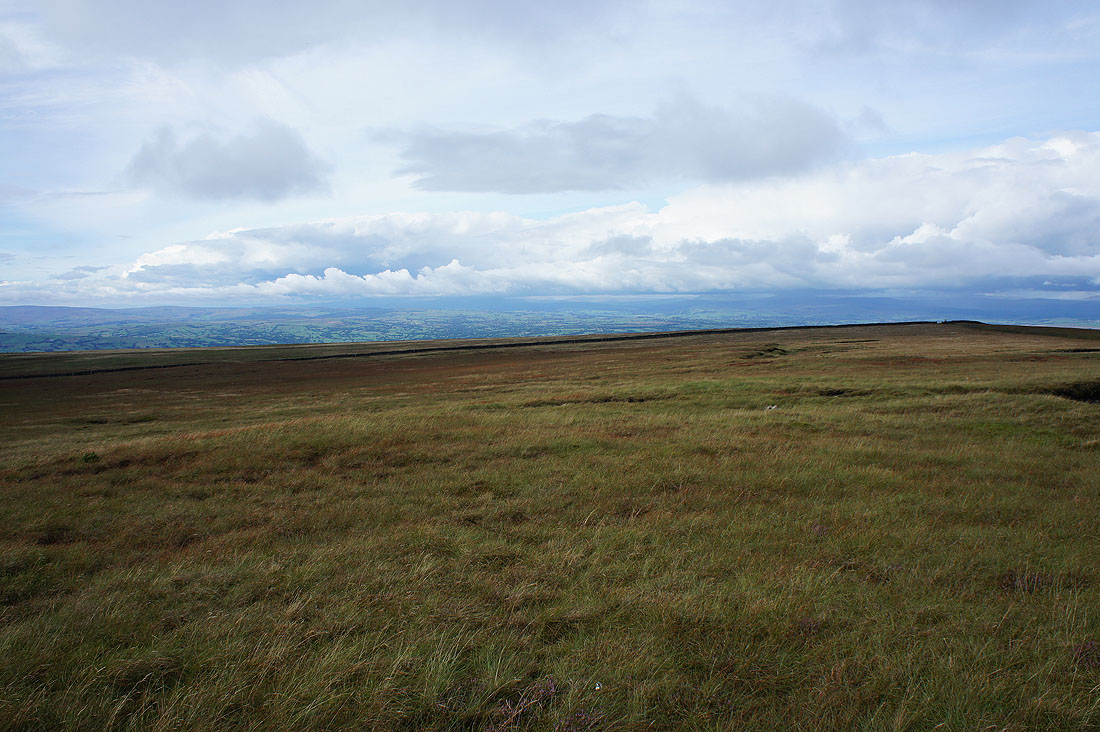
Looking back across Downham Moor
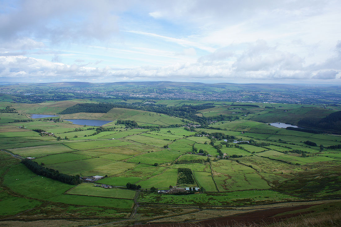
Heading for the trig point. The Black Moss Reservoirs, Barley and Lower Ogden Reservoir with Colne, Nelson and Boulsworth Hill in the distance.
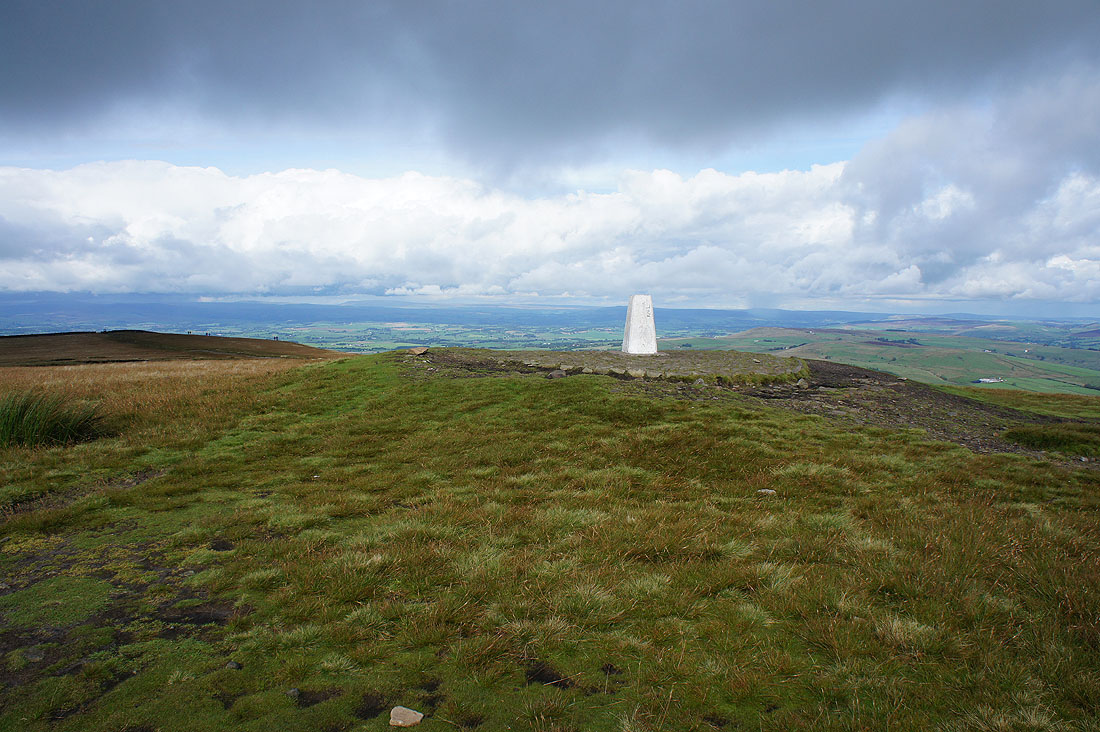
On the summit of Pendle Hill
The fells of the Forest of Bowland in the distance..
..and those of the Yorkshire Dales. Dark clouds and showers over there now.
Distant West Pennine Moors as I head..
..for the path down the east face
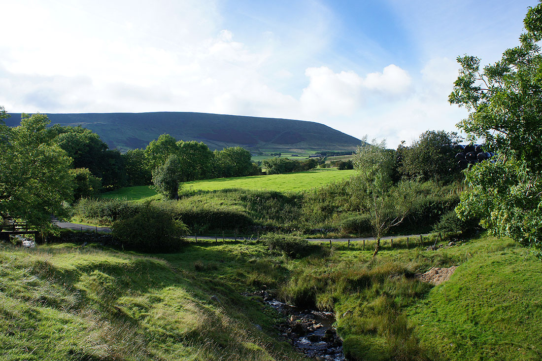
A last look back to Pendle Hill before I return to Barley
