4th September 2022 - Pendle Hill
Walk Details
Distance walked: 7.0 miles
Total ascent: 1012 ft
OS map used: OL41 - Forest of Bowland & Ribblesdale
Time taken: 4 hrs
Route description: Nick of Pendle-Pendleton Moor-Ogden Clough-Pendle Hill-Downham Moor-Worston Moor-Scout Cairn-Mearley Moor-Pendleton Moor-Nick of Pendle
The best that the weather can give me this weekend is a fine afternoon, with the promise that the cloud will break up and that I'll get some sunshine. It's been six months since I last had a walk on Pendle Hill, so I decided to head for the Nick of Pendle for what is probably my favourite route on the hill, and with me arriving in the area just as the weather was starting to improve I was reasonably confident that I'd find a spot to park there. I had no problem, there were plenty of spaces, but if there weren't any then I would have gone to Pendleton instead. I set off from the Nick of Pendle under dull and overcast skies which lasted until I reached the trig point and summit. From then on the cloud started to break up, and more sunshine and improving visibility was enjoyed for the walk back to the Nick of Pendle.
From my starting point at one of the laybys on the road across the Nick of Pendle I made my way up onto Pendleton Moor, making a short diversion to Deerstones before returning to the path to Ogden Clough. I kept on the path as it made its way into Ogden Clough and followed it all the way up to the trig point and summit. I then crossed the stile onto Downham Moor, followed the path west, and crossed the stile onto Worston Moor to reach the Scout Cairn. I then walked across Mearley Moor before crossing the top of Howcroft Brook to pick up the path across Pendleton Moor back to the Nick of Pendle.
Total ascent: 1012 ft
OS map used: OL41 - Forest of Bowland & Ribblesdale
Time taken: 4 hrs
Route description: Nick of Pendle-Pendleton Moor-Ogden Clough-Pendle Hill-Downham Moor-Worston Moor-Scout Cairn-Mearley Moor-Pendleton Moor-Nick of Pendle
The best that the weather can give me this weekend is a fine afternoon, with the promise that the cloud will break up and that I'll get some sunshine. It's been six months since I last had a walk on Pendle Hill, so I decided to head for the Nick of Pendle for what is probably my favourite route on the hill, and with me arriving in the area just as the weather was starting to improve I was reasonably confident that I'd find a spot to park there. I had no problem, there were plenty of spaces, but if there weren't any then I would have gone to Pendleton instead. I set off from the Nick of Pendle under dull and overcast skies which lasted until I reached the trig point and summit. From then on the cloud started to break up, and more sunshine and improving visibility was enjoyed for the walk back to the Nick of Pendle.
From my starting point at one of the laybys on the road across the Nick of Pendle I made my way up onto Pendleton Moor, making a short diversion to Deerstones before returning to the path to Ogden Clough. I kept on the path as it made its way into Ogden Clough and followed it all the way up to the trig point and summit. I then crossed the stile onto Downham Moor, followed the path west, and crossed the stile onto Worston Moor to reach the Scout Cairn. I then walked across Mearley Moor before crossing the top of Howcroft Brook to pick up the path across Pendleton Moor back to the Nick of Pendle.
Route map
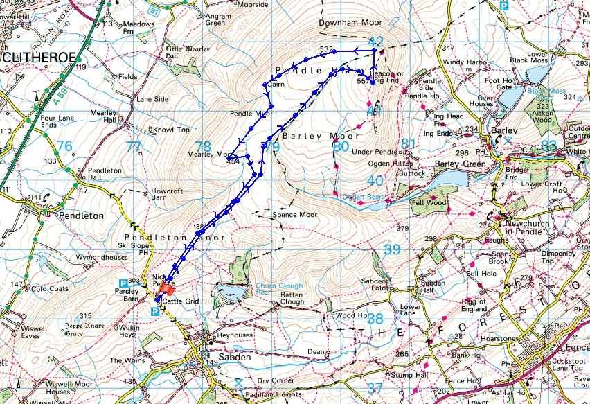
© Crown copyright. All rights reserved. License number PU 100034184.
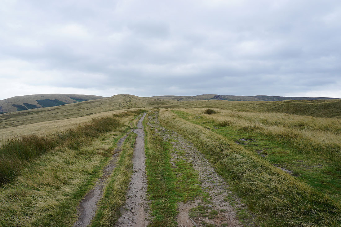
Setting off from the Nick of Pendle I head up onto Pendleton Moor
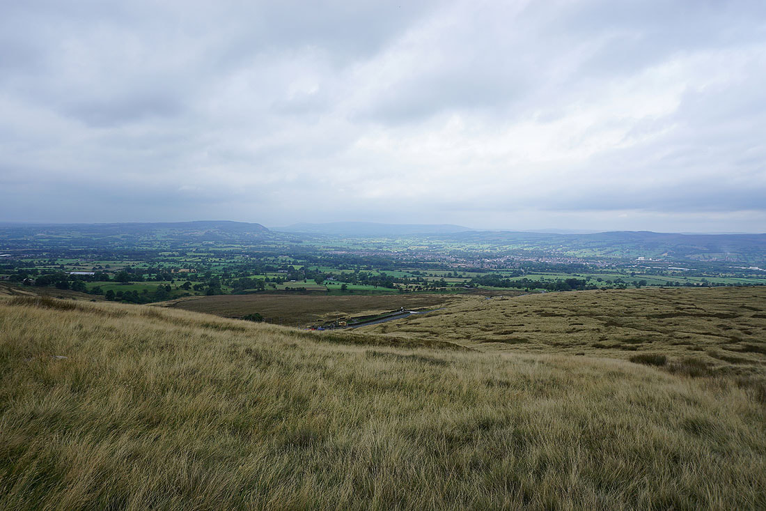
Looking across the Ribble Valley to the Forest of Bowland from Pendleton Moor
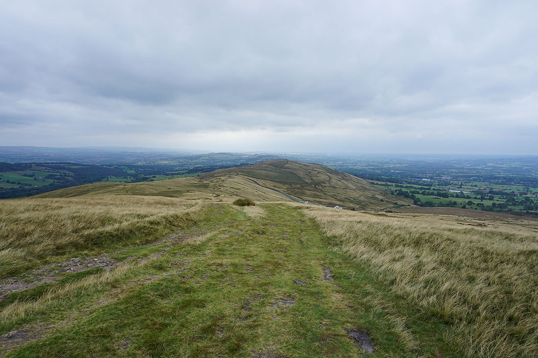
and back to the Nick of Pendle
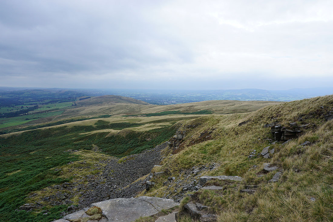
The Rough and Pendleton Moor from the top of Deerstones
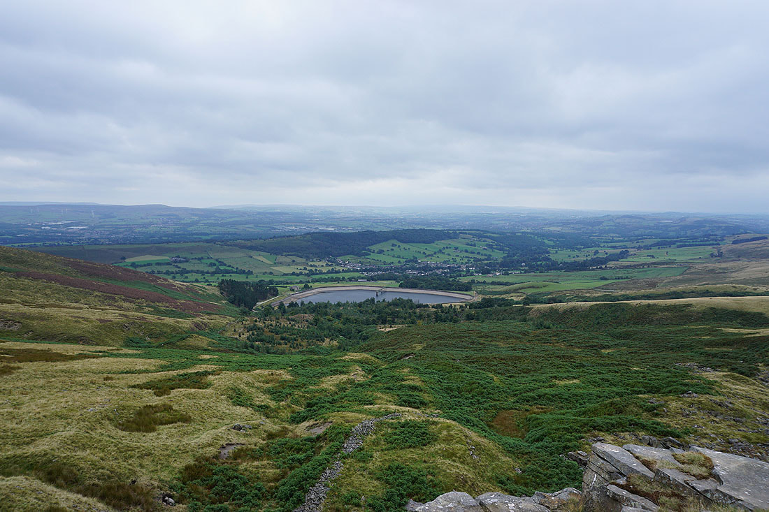
Churn Clough Reservoir, Black Hill and Sabden
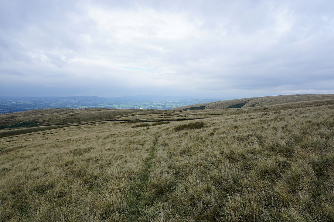
The view back across Pendleton Moor to the Forest of Bowland
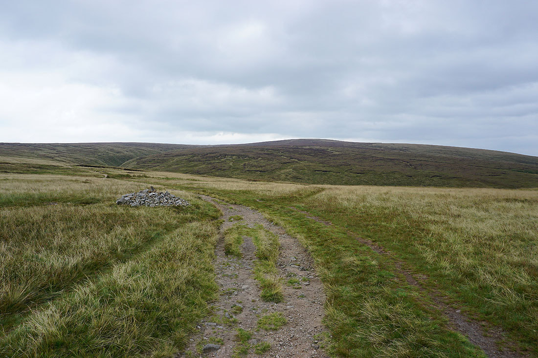
The bulk of Pendle Hill ahead as I head for Ogden Clough
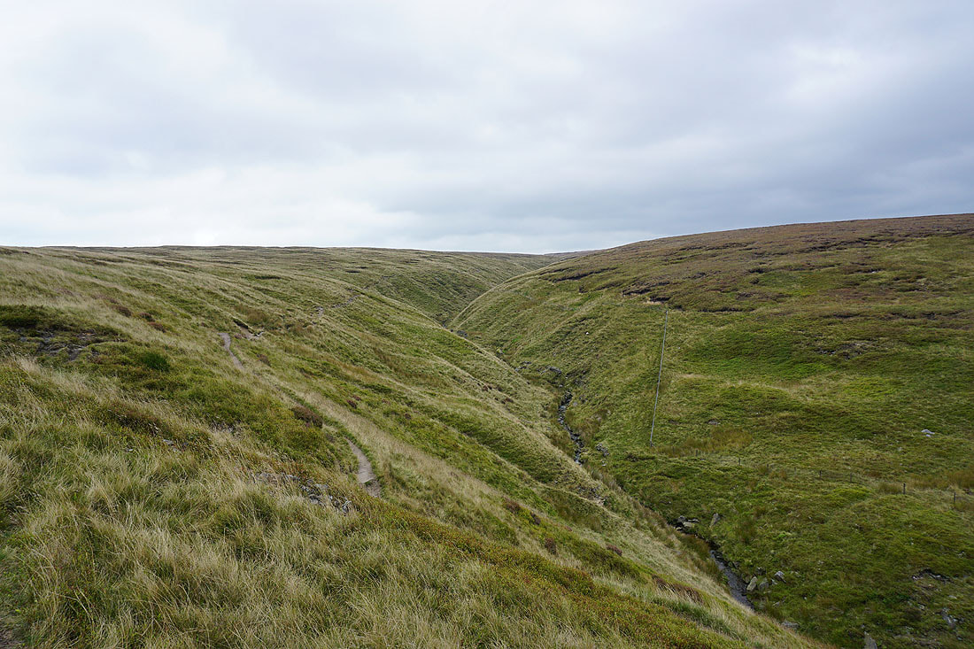
On the path up Ogden Clough
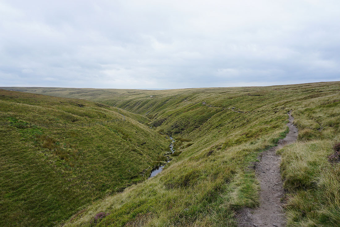
Looking back down Ogden Clough
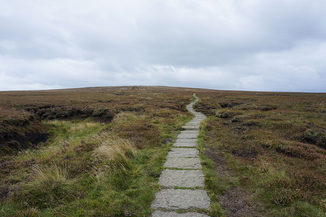
On the flagged path to the summit from Ogden Clough
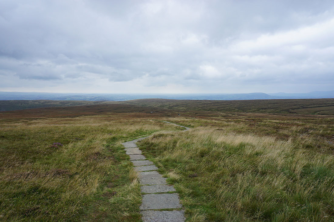
Looking back to Ogden Clough with the Ribble Valley in the distance
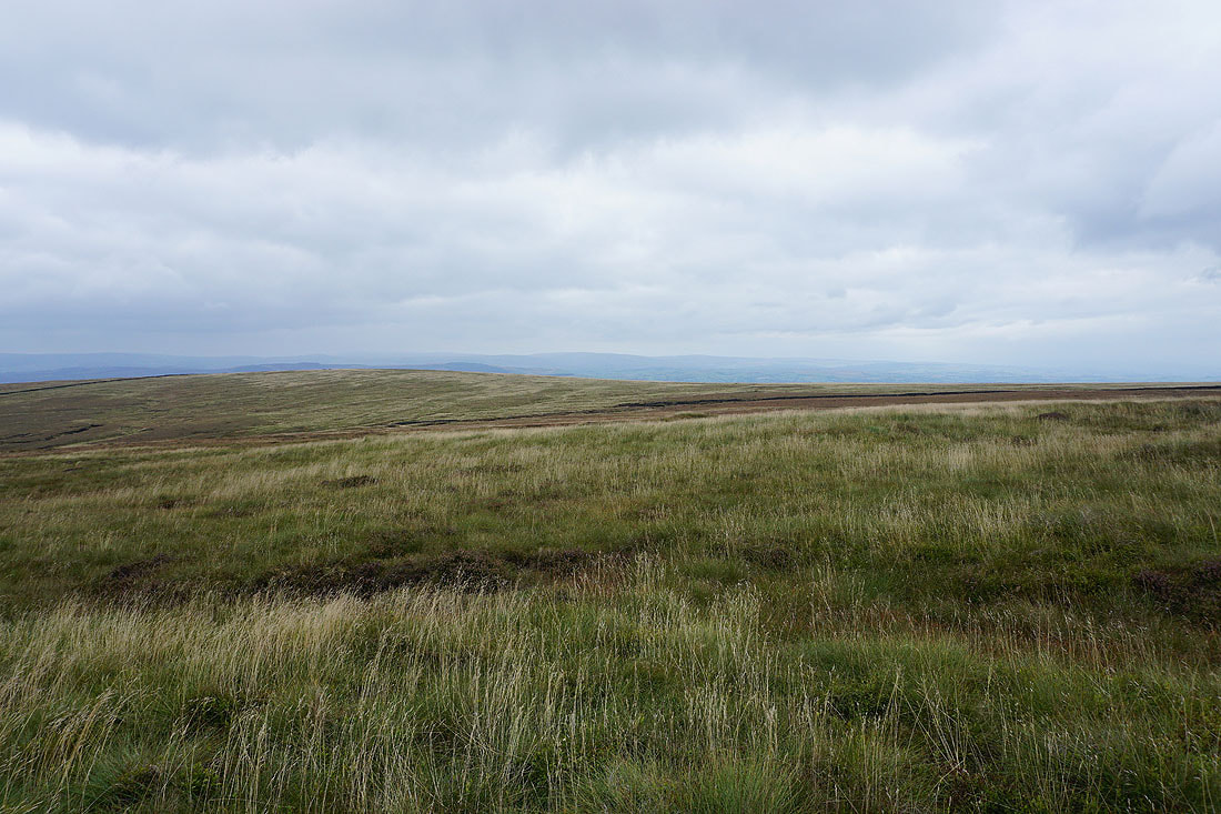
The fells of the Forest of Bowland beyond the nearby Downham Moor
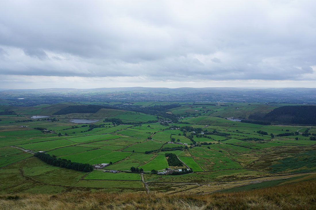
On the summit of Pendle Hill with the Black Moss Reservoirs and Barley below, and Boulsworth Hill in the distance
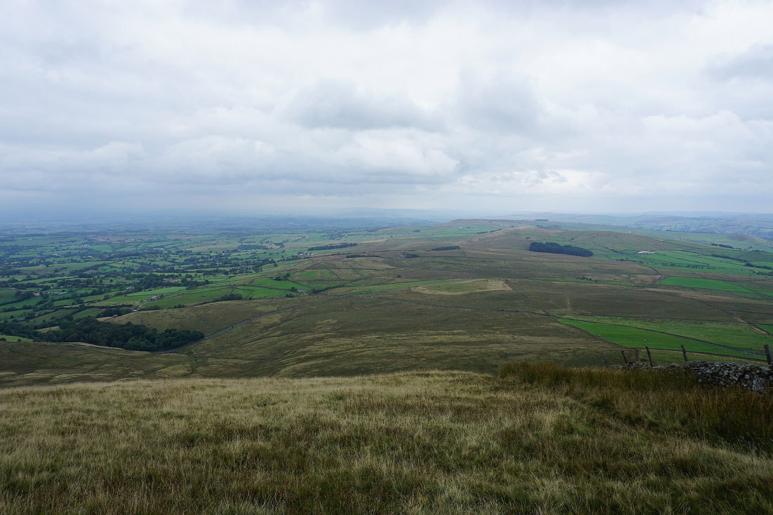
Looking east to Twiston Moor, Rimington Moor, Weets Hill and Wheathead Height from the northern end of Pendle Hill
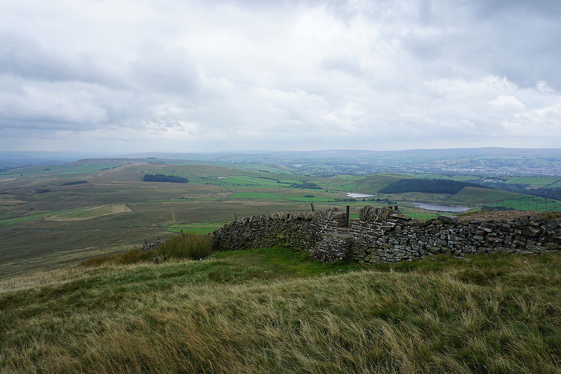
and if I turn a little to the right, the two Black Moss Reservoirs
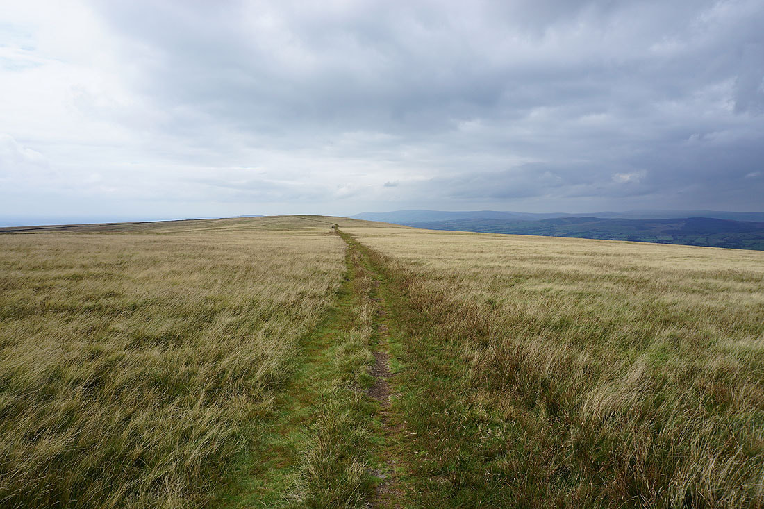
Heading west across Downham Moor, and it looks like it might be brightening up
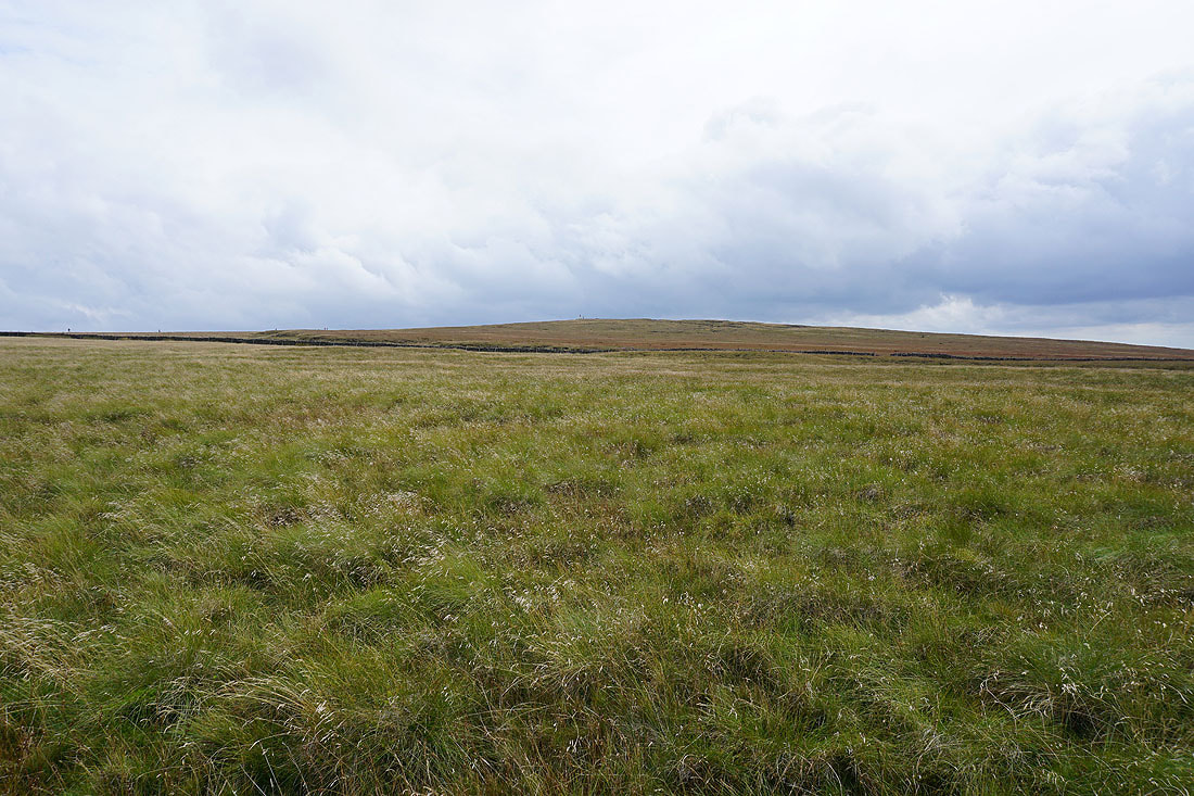
Looking across to the summit
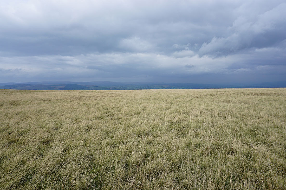
The visibility is good enough for me to make out the Forest of Bowland
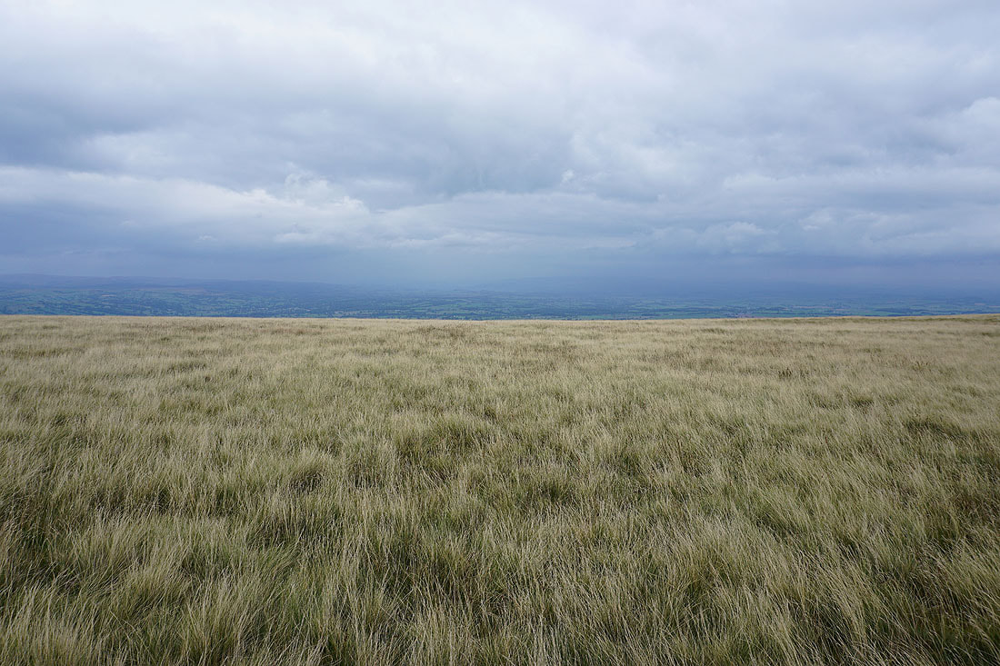
but not the Yorkshire Dales
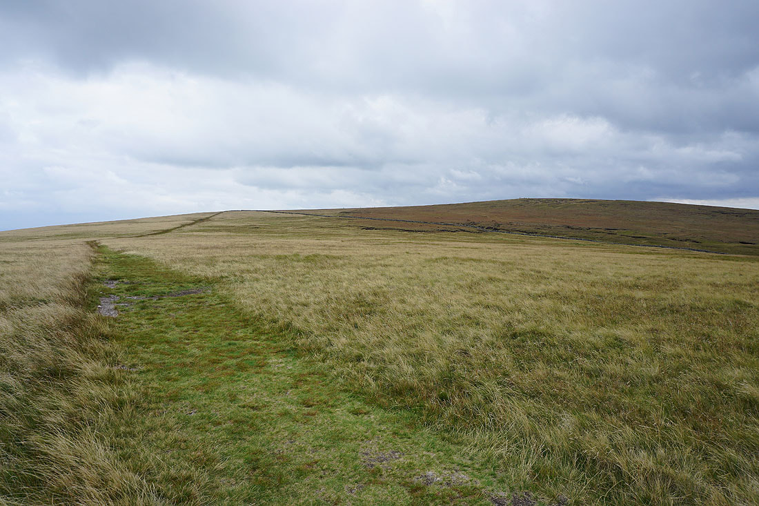
The summit from Downham Moor
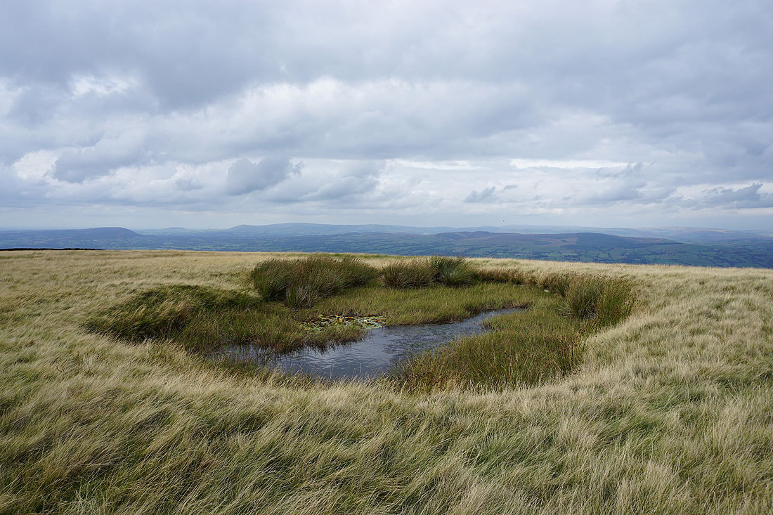
This pool on Downham Moor provides a good foreground for a photo looking across the Ribble Valley to the Forest of Bowland
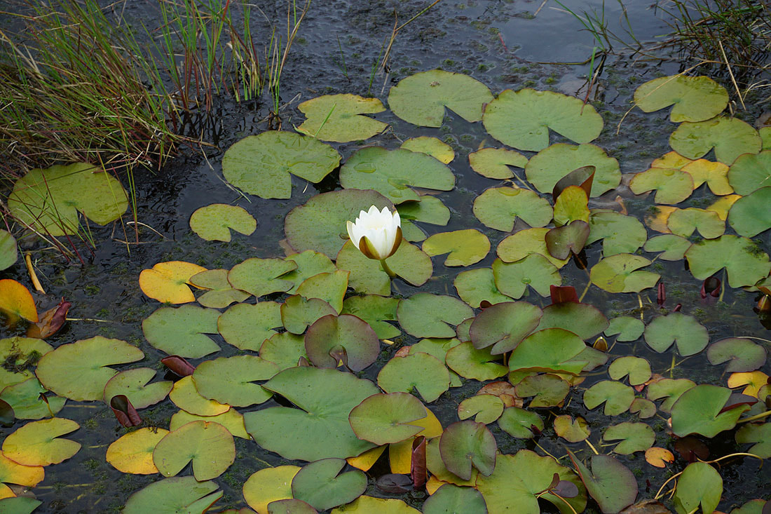
The water lilies in it are flowering
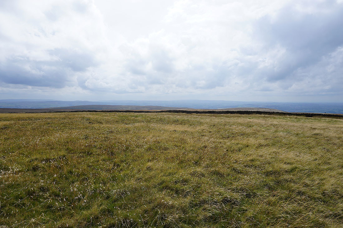
Looking across Spence Moor to Winter Hill and the rest of the West Pennine Moors in the distance
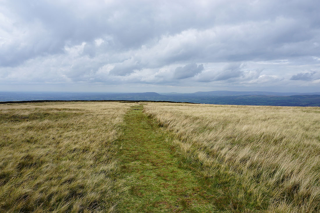
Heading for Worston Moor
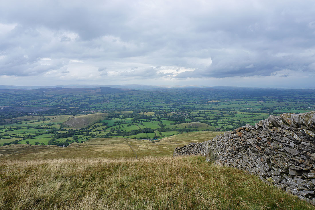
Easington Fell on the other side of the Ribble Valley, with the limestone knoll of Worsaw Hill and the village of Downham below
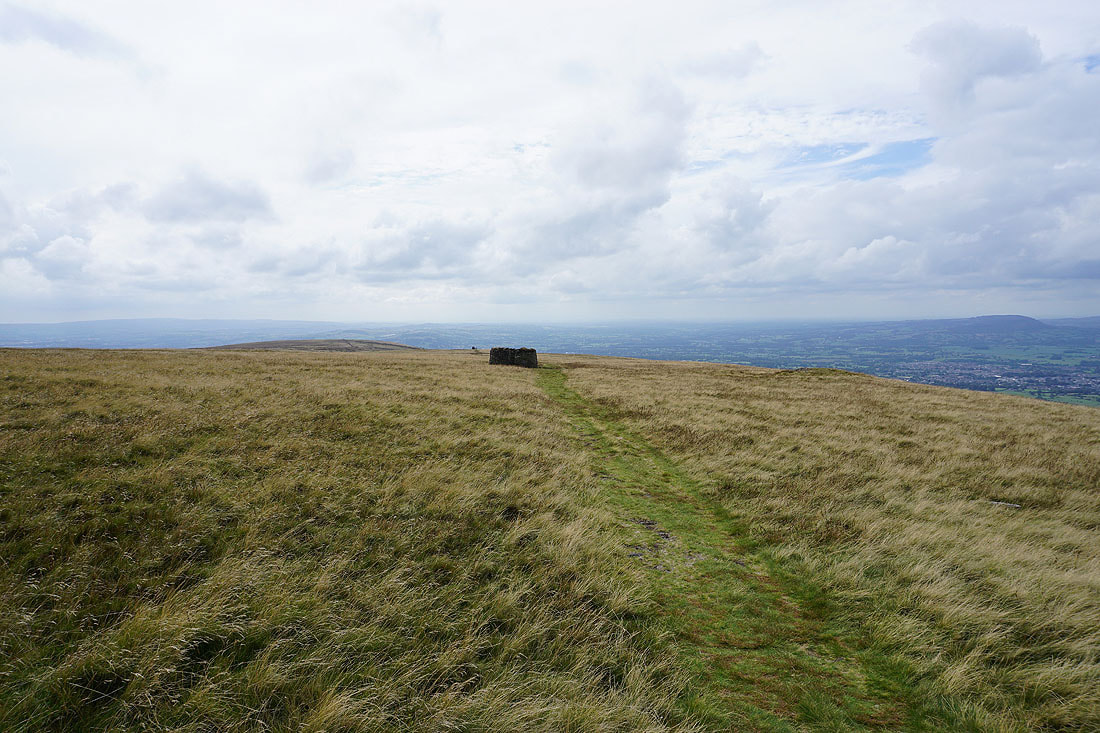
Approaching the circular shelter on Worston Moor with the Scout Cairn in the distance behind it
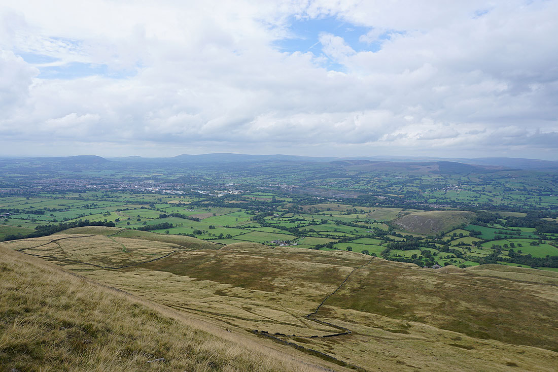
Looking across the Ribble Valley and Clitheroe to Longridge Fell, Parlick, Fair Snape Fell, Totridge and Easington Fell..
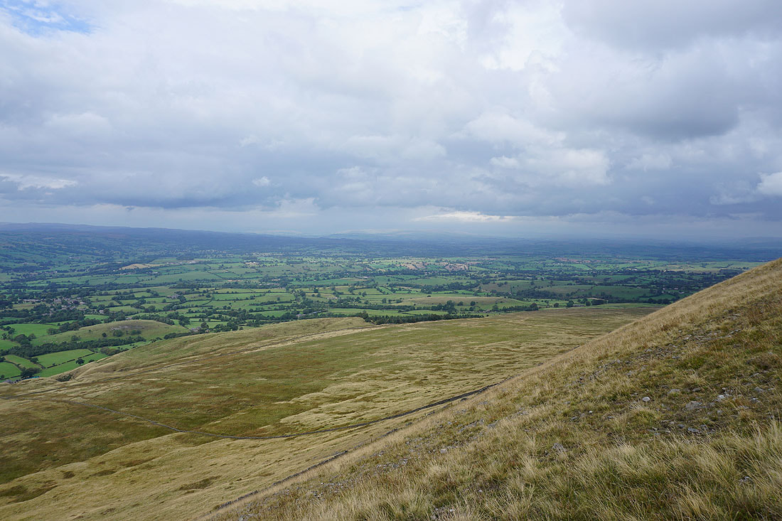
..and up the Ribble Valley to the Yorkshire Dales. The visibility seems to be improving, I can see them better than I could from Downham Moor.
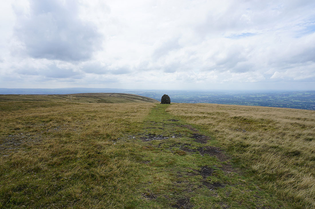
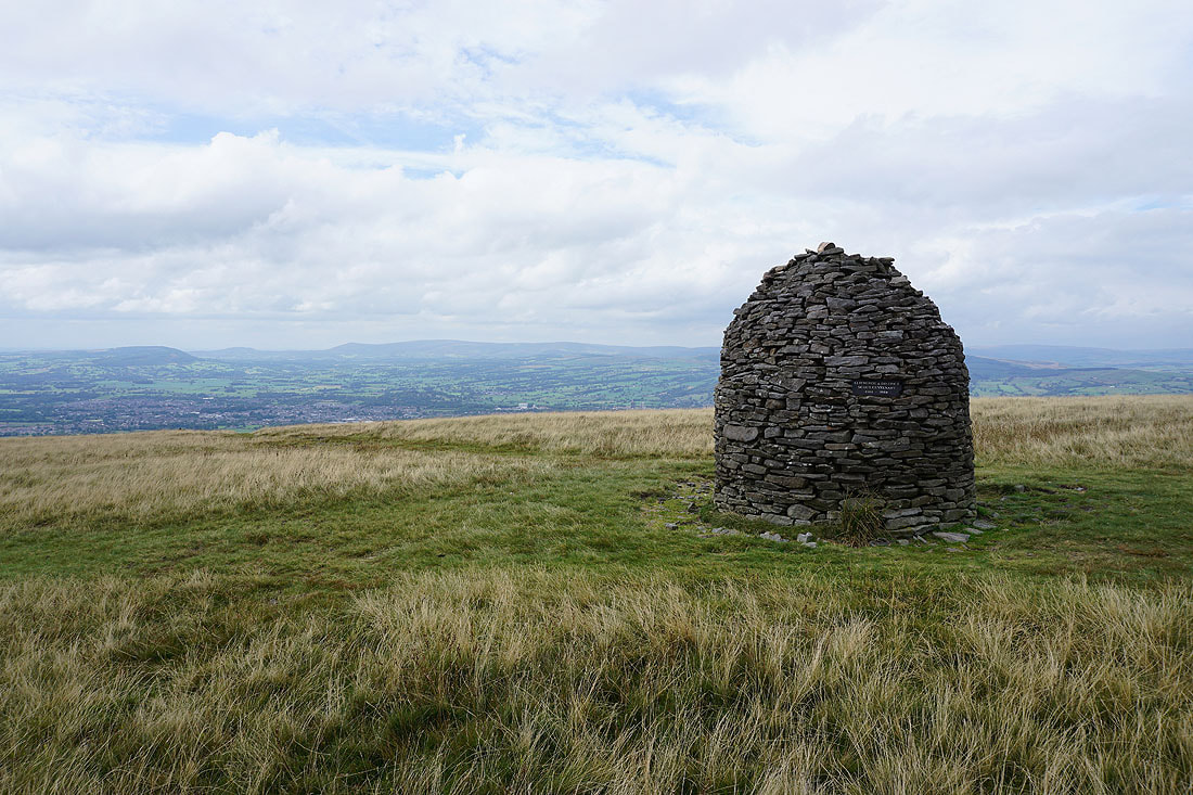
Approaching the Scout Cairn
The Forest of Bowland on the other side of the Ribble Valley
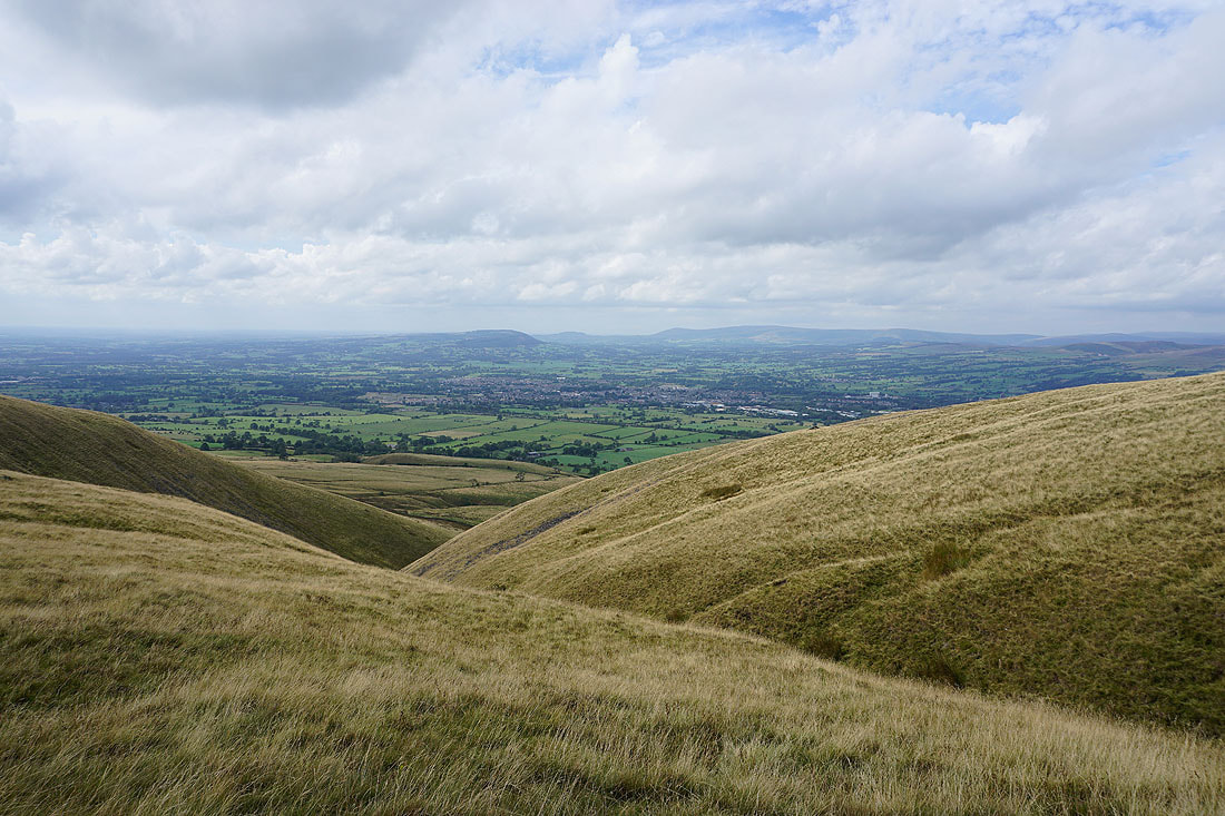
The Ribble Valley from the top of Mearley Brook
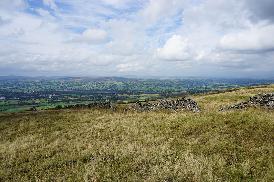
Looking across the Ribble Valley to the Forest of Bowland from Mearley Moor
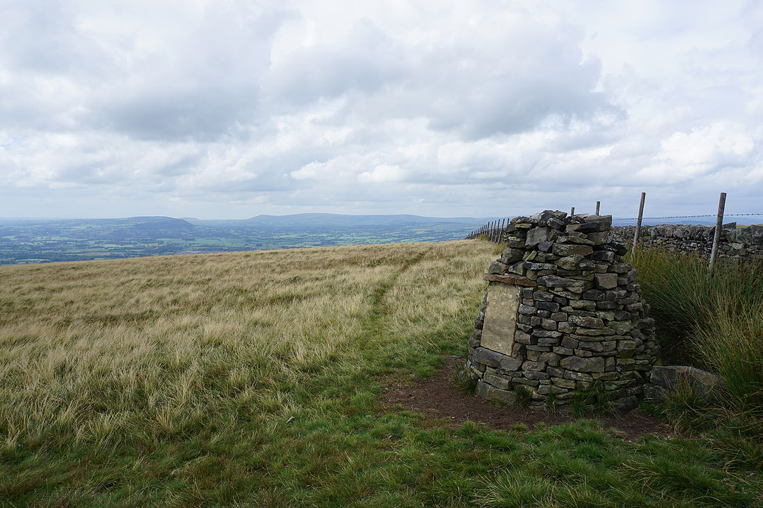
At the Clayton-le-Moors Harriers cairn on the western end of Mearley Moor
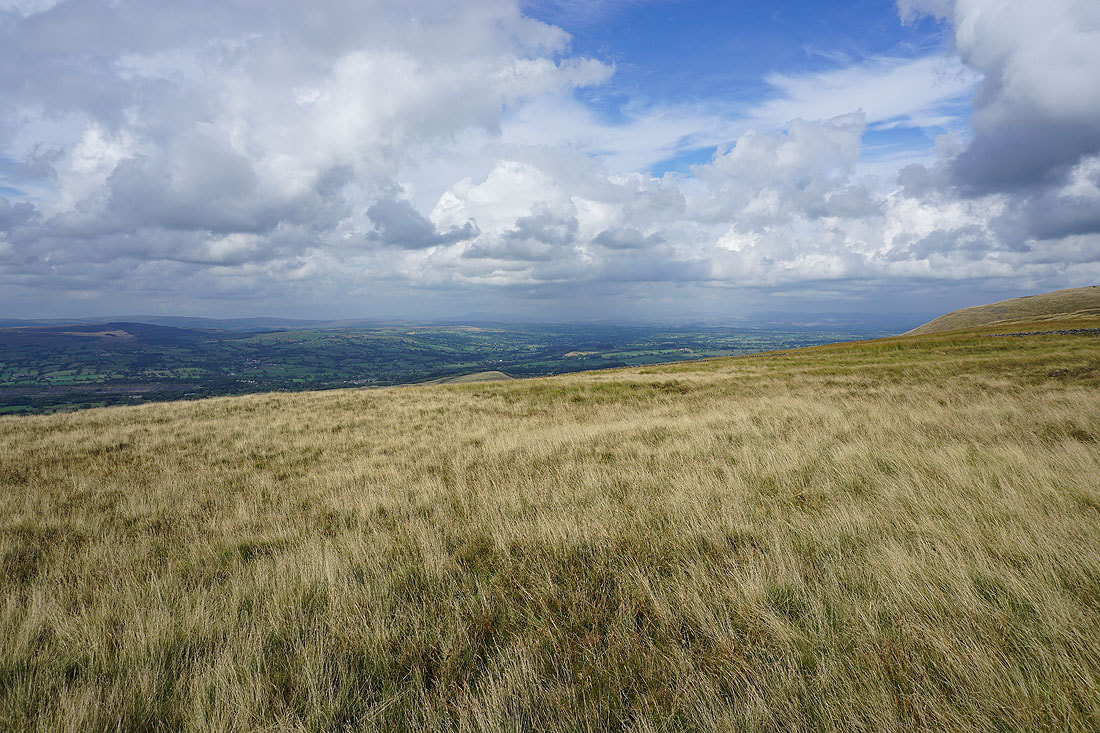
The weather is continuing to get better, with the cloud breaking up and the visibility improving. Looking up the Ribble Valley I can make out Ingleborough and Penyghent in the Yorkshire Dales.
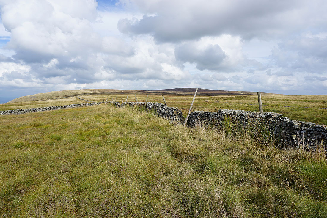
The bulk of Pendle Hill from Mearley Moor
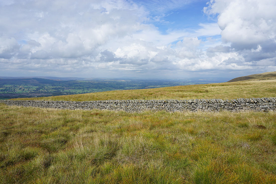
A couple more photos of the view up the Ribble Valley to the Yorkshire Dales..
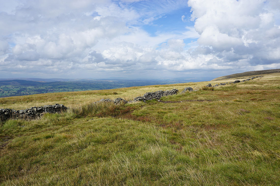
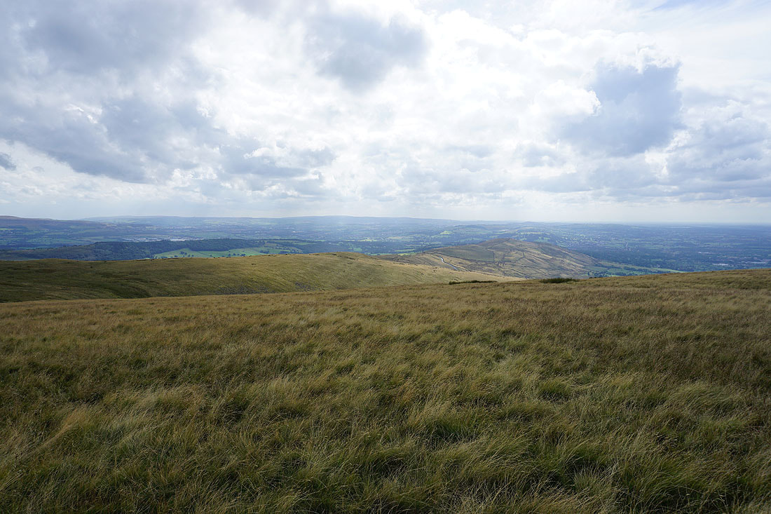
Pendleton Moor, and the moorland of The Rough on the other side of The Nick of Pendle
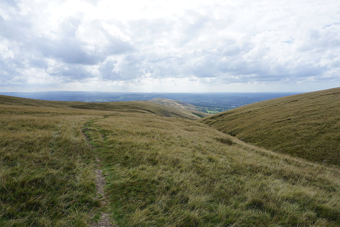
Crossing the top of Howcroft Brook as I head for Pendleton Moor
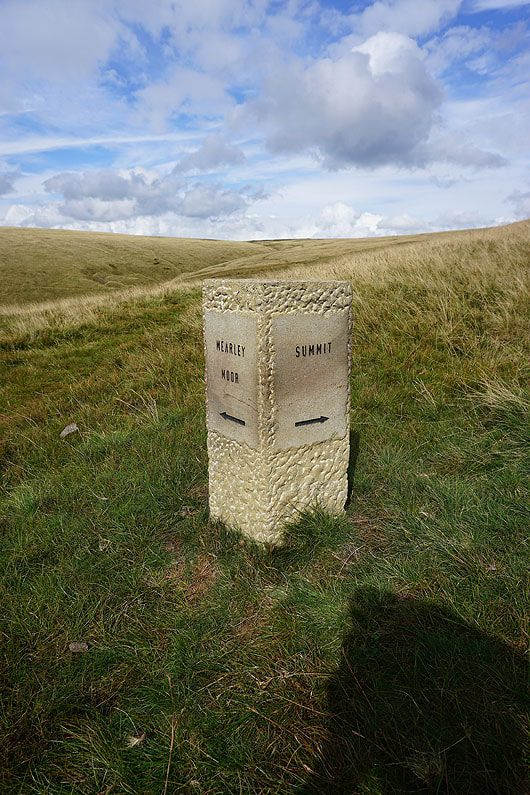
One of several navigation aids that are now on the hill
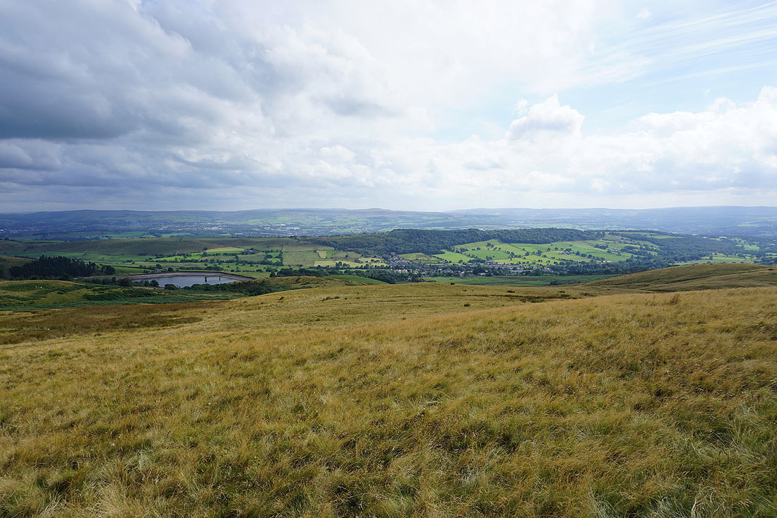
Churn Clough Reservoir, Black Hill and Sabden, with Great Hameldon and the West Pennine Moors in the distance from Pendleton Moor
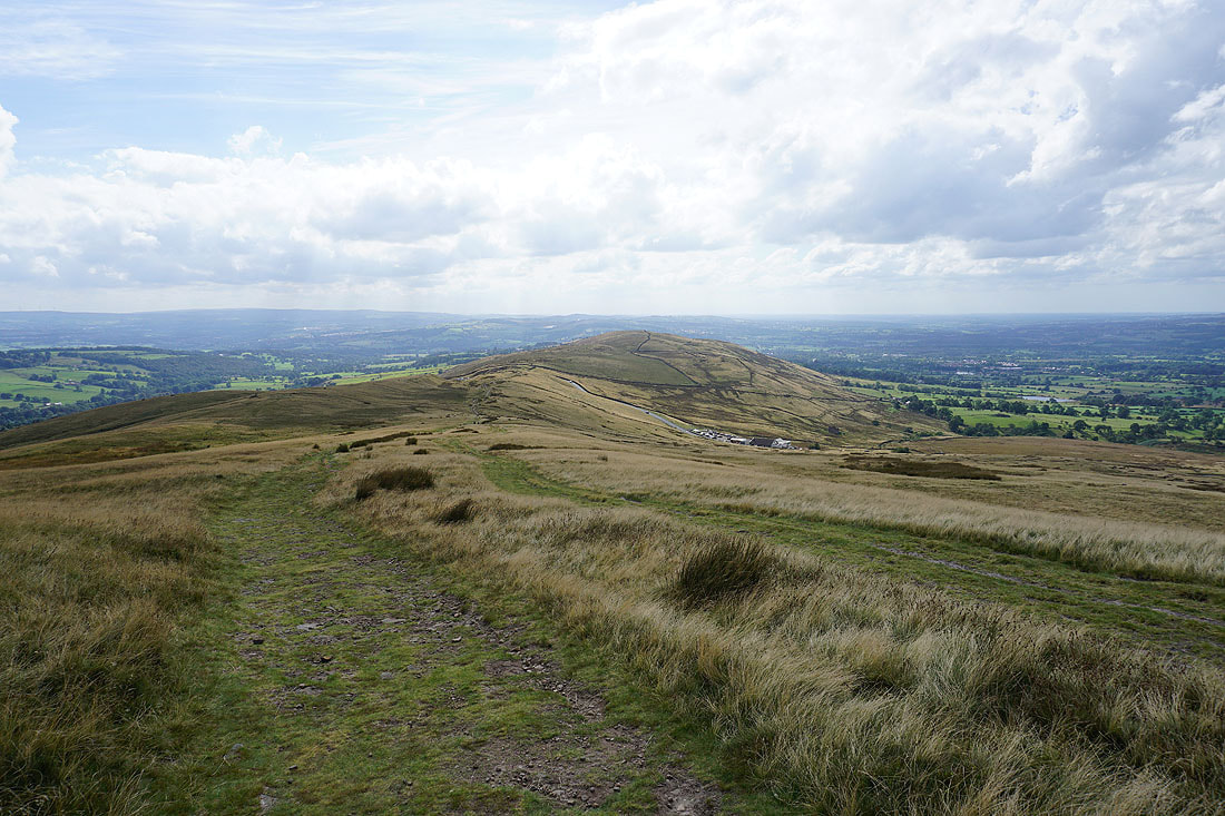
Heading for the Nick of Pendle
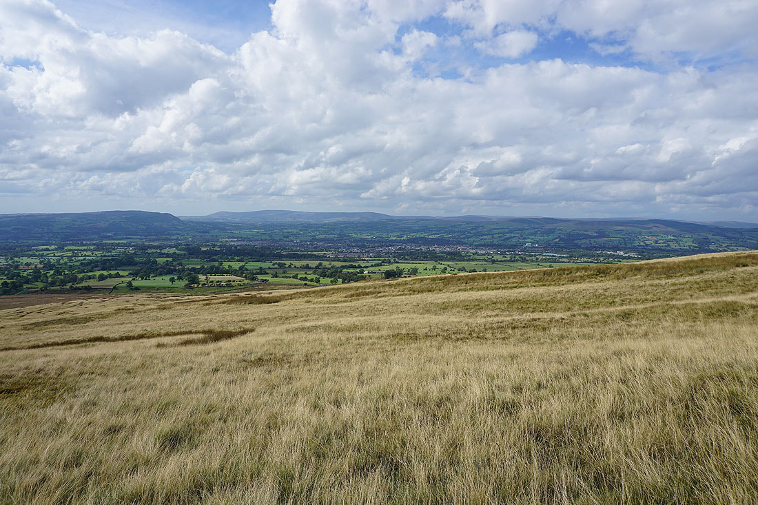
Looking across the Ribble Valley to Longridge Fell, Parlick, Fair Snape Fell, Totridge, Clitheroe, and Easington Fell
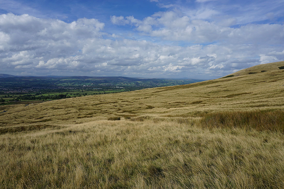
and up the Ribble Valley to the Yorkshire Dales
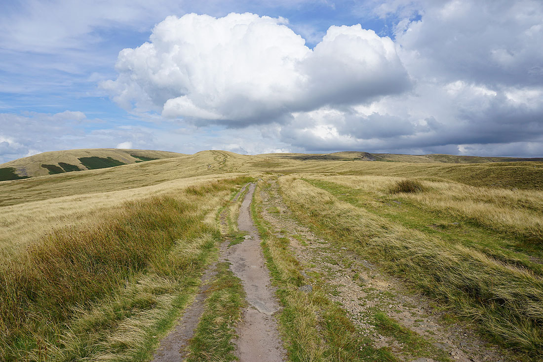
A sunlit Pendle Hill on an early autumn afternoon from the Nick of Pendle
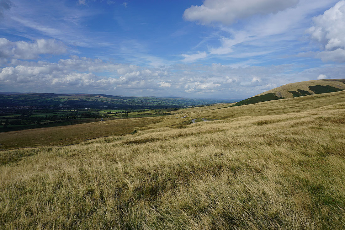
One last shot looking up the Ribble Valley to Ingleborough and the Yorkshire Dales