5th April 2009 - A Coledale Horseshoe
Walk Details
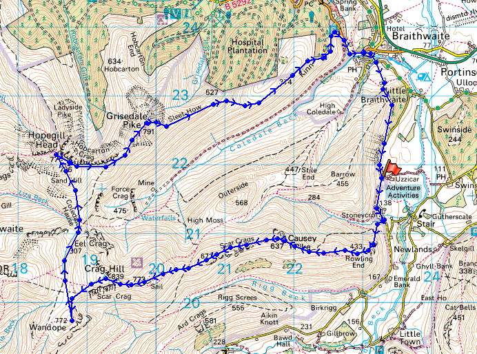
Distance walked: 10.1 miles
Total ascent: 4438 ft
OS map used: OL4 - The English Lakes, North-western area
Time taken: 7 hrs
Route description: Braithwaite to Buttermere road near Uzzicar Farm-Rowling End-Causey Pike-Scar Crags-Sail-Crag Hill-Wandope-Coledale Hause-Sand Hill-Hopegill Head-Grisedale Pike-Kinn-Braithwaite-Braithwaite Lodge-Braithwaite to Buttermere road near Uzzicar Farm
A walk round Coledale taking in Causey Pike, Scar Crags, Sail, Crag Hill, Wandope, Hopegill Head and Grisedale Pike.
Route map
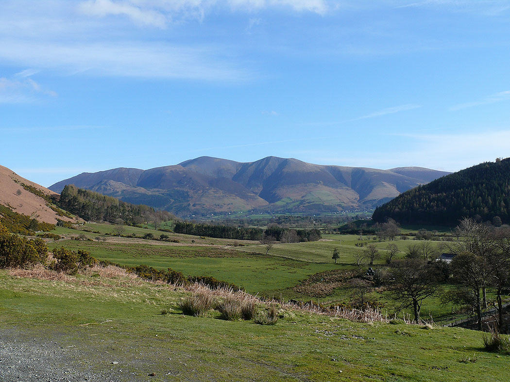
A view of Skiddaw from the start of the walk
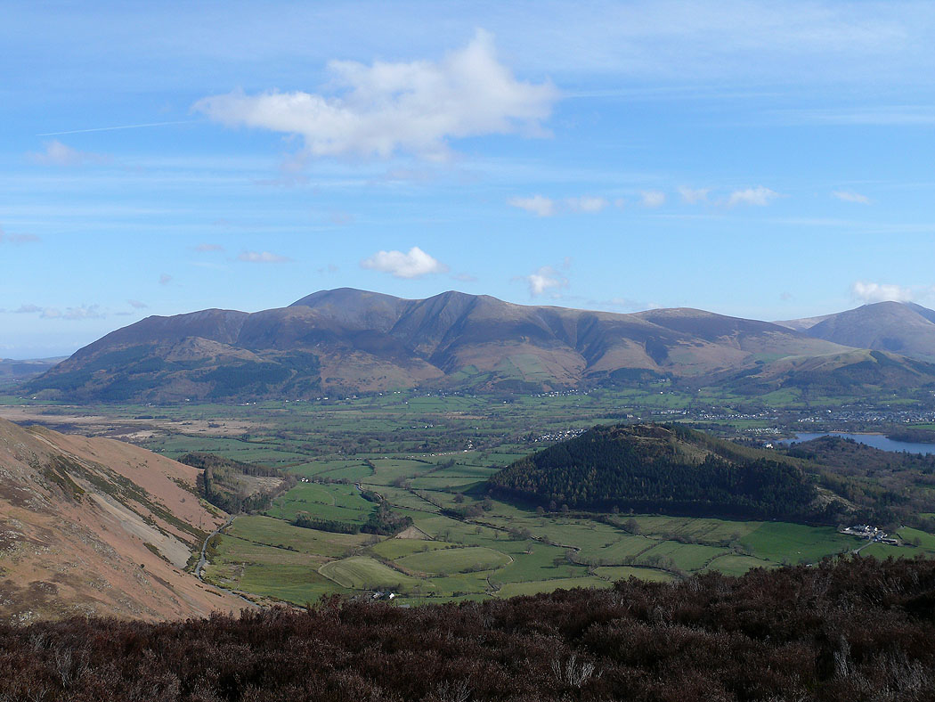
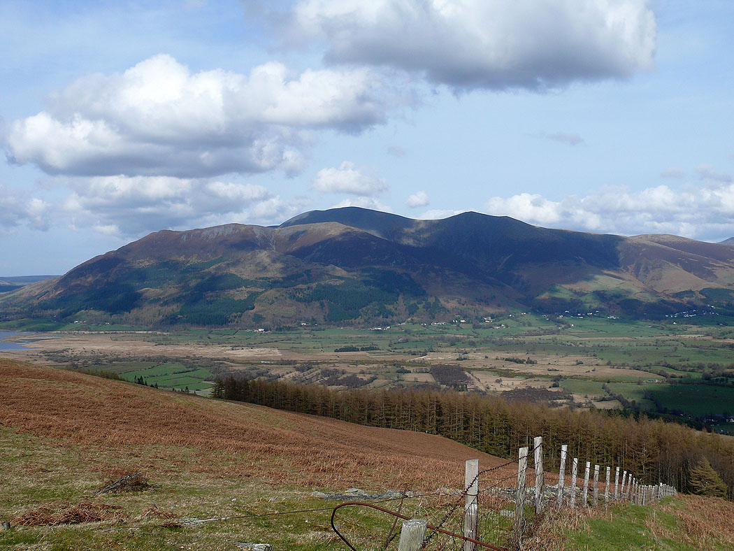
Skiddaw from Rowling End
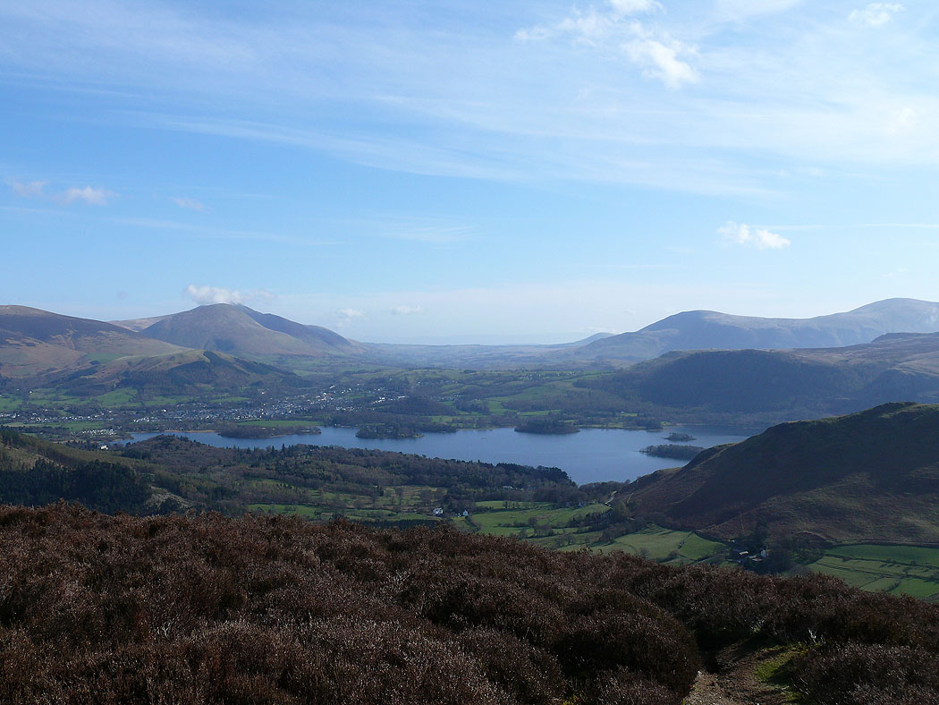
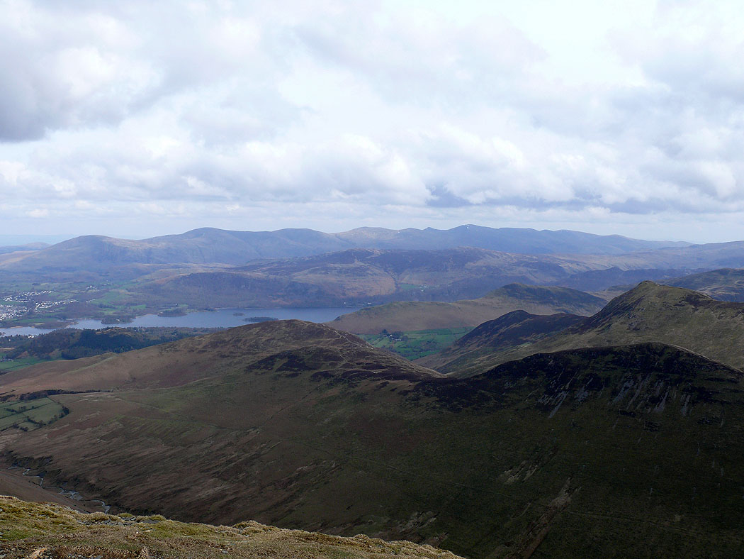
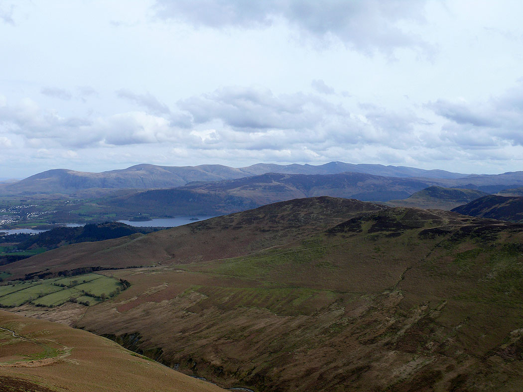
Part of Derwent Water
Dale Head, Hindscarth and Robinson
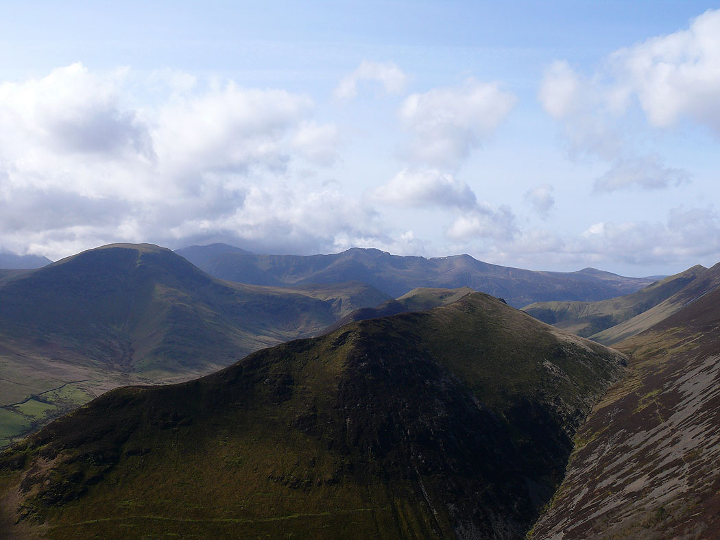
Robinson and Ard Crags
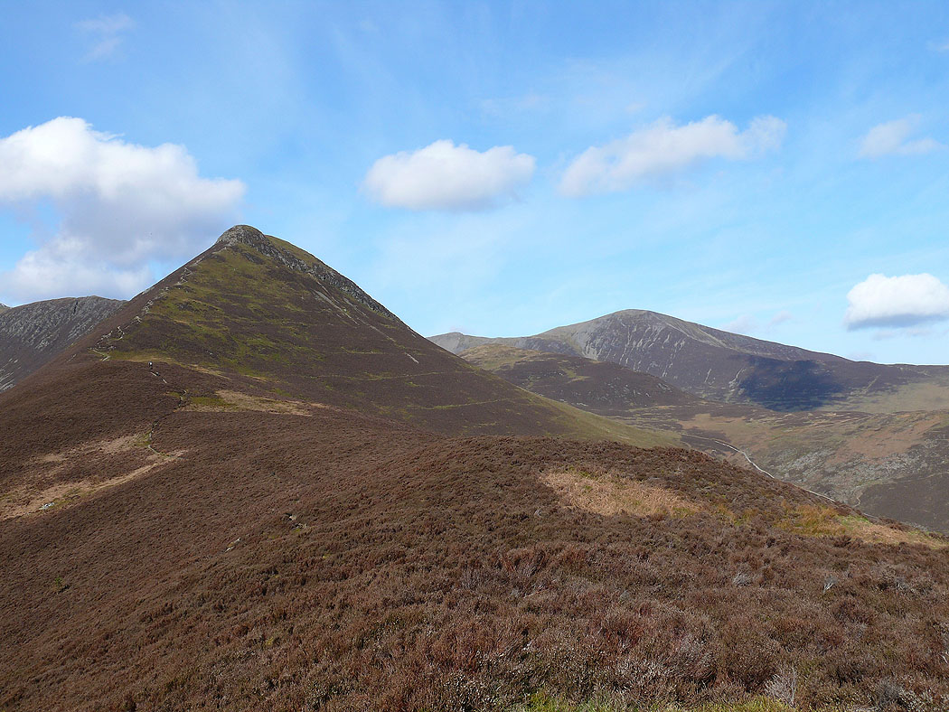
The way ahead to Causey Pike
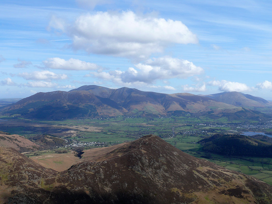
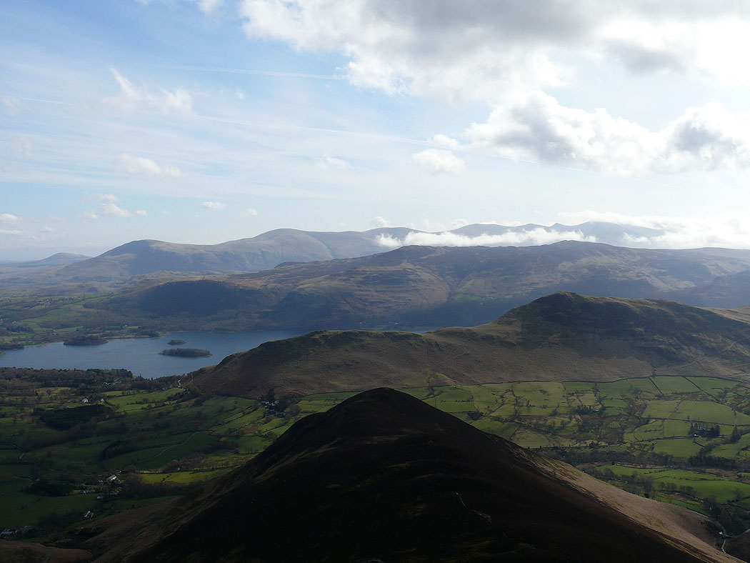
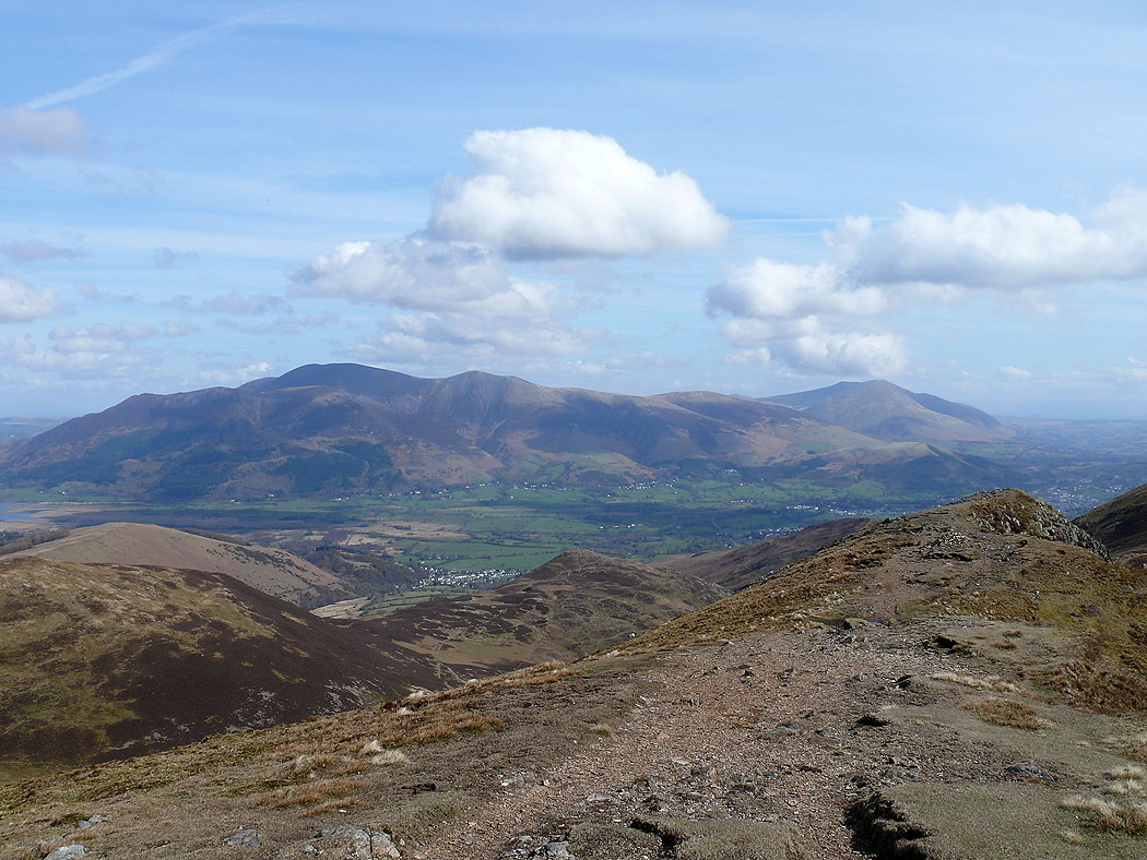
Skiddaw and Blencathra from Causey Pike. The fell below is Barrow.
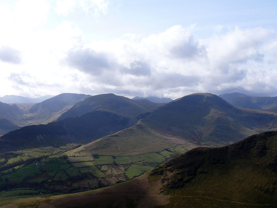
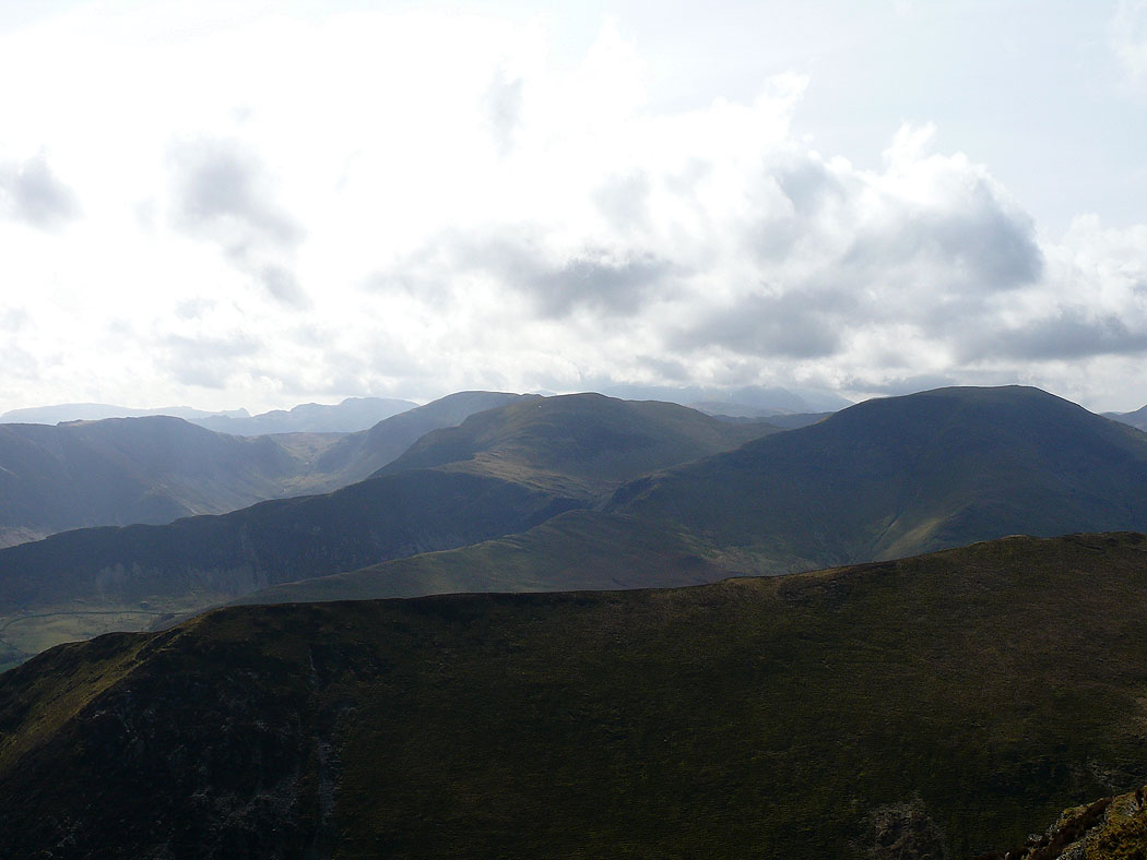
Robinson and the Ard Crags to Knott Rigg ridge. The High Stile range is in the background.
Dale Head, Hindscarth and Robinson from Causey Pike
Helvellyn and the Dodds, High Seat and Cat Bells
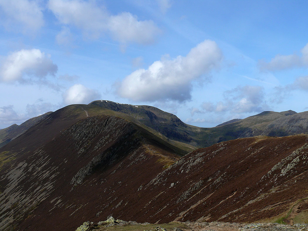
The next part of the route; Scar Crags, Sail and Crag Hill
Skiddaw and Blencathra from Scar Crags
Dale Head, Hindscarth and Robinson
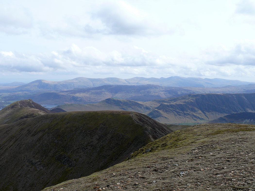
The view across to Pillar and the High Stile range
and back to Causey Pike
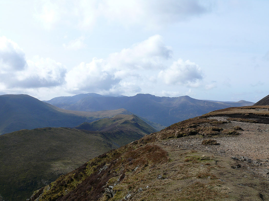
The view from Sail over Robinson to Bowfell, Esk Pike and the Scafells
Pillar and the High Stile range with the valley of Sail Beck below
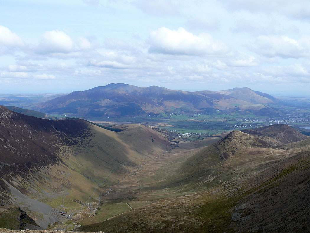
On Crag Hill and a great view down Coledale to Skiddaw and Blencathra
The view over Sail to Cat Bells and Maiden Moor, then High Seat and the central ridge and beyond that the Helvellyn range
Bowfell, Esk Pike and the Scafells over Robinson
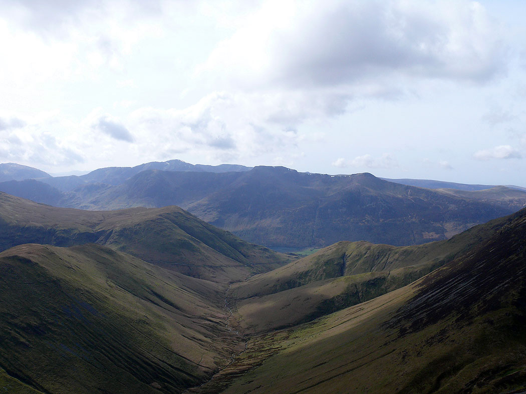
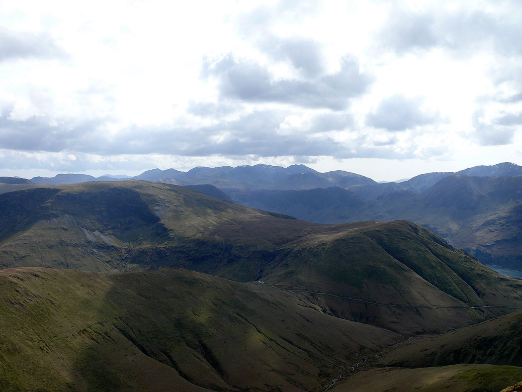
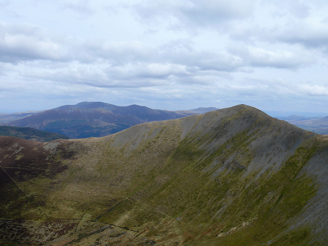
Pillar and the High Stile range from the next summit of the day, Wandope
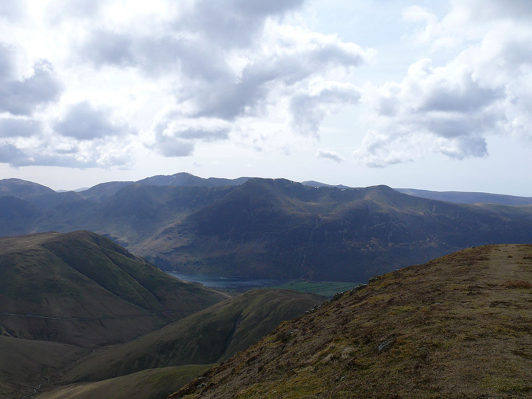
Bowfell, Esk Pike and the Scafells in the distance. The road from Newlands Hause down to Buttermere can be seen below.
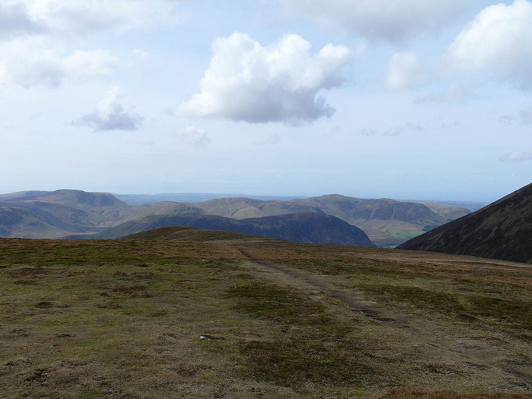
Mellbreak and the Loweswater fells
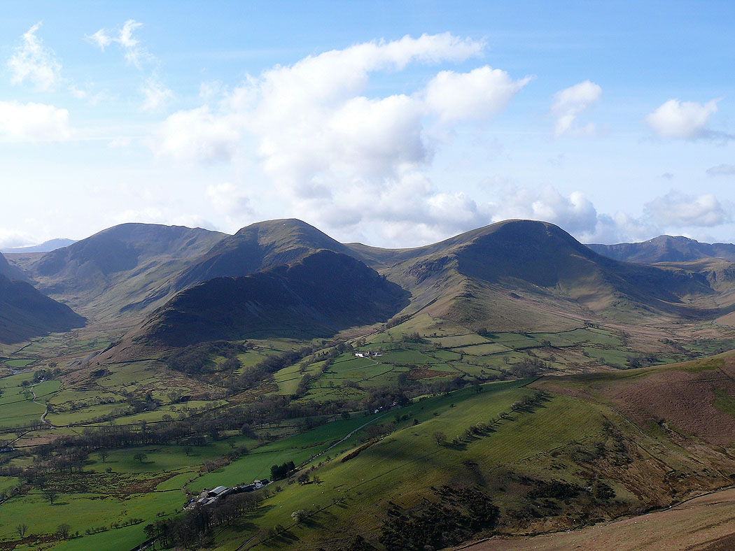
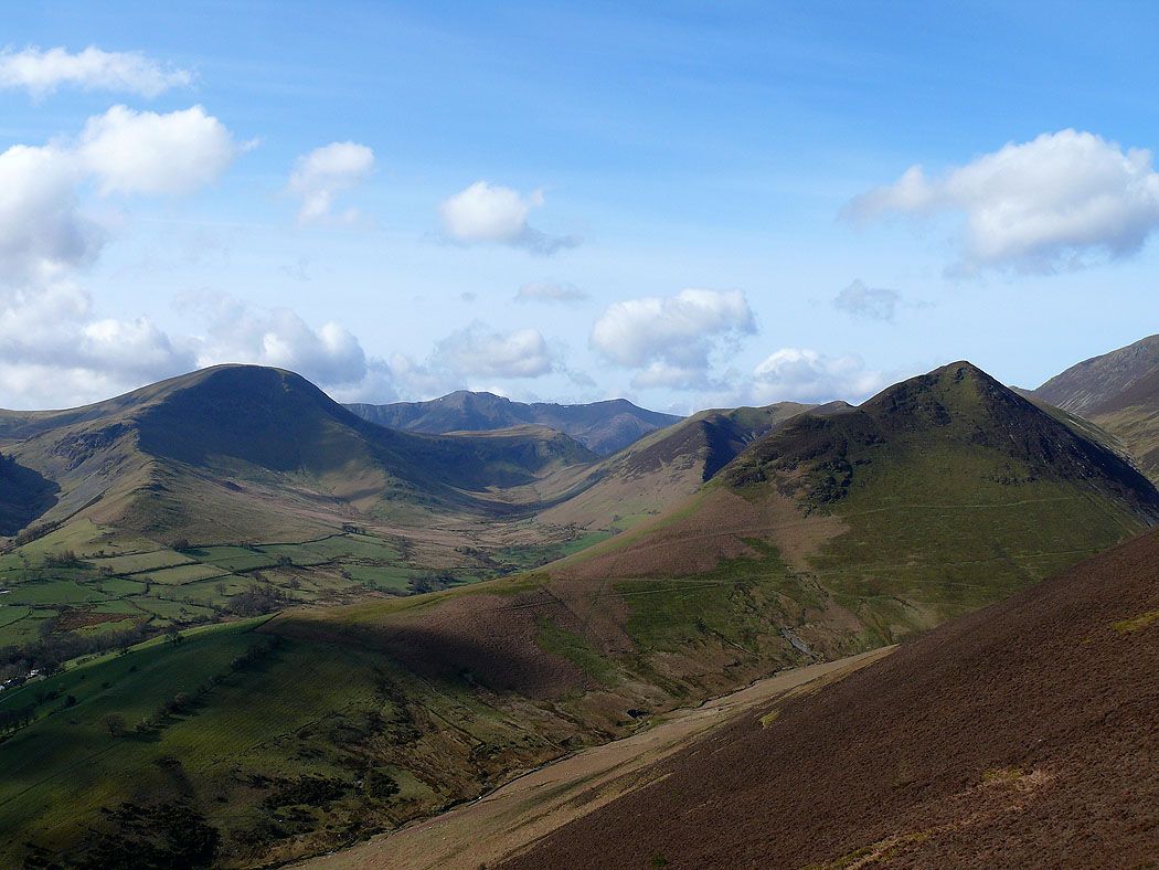
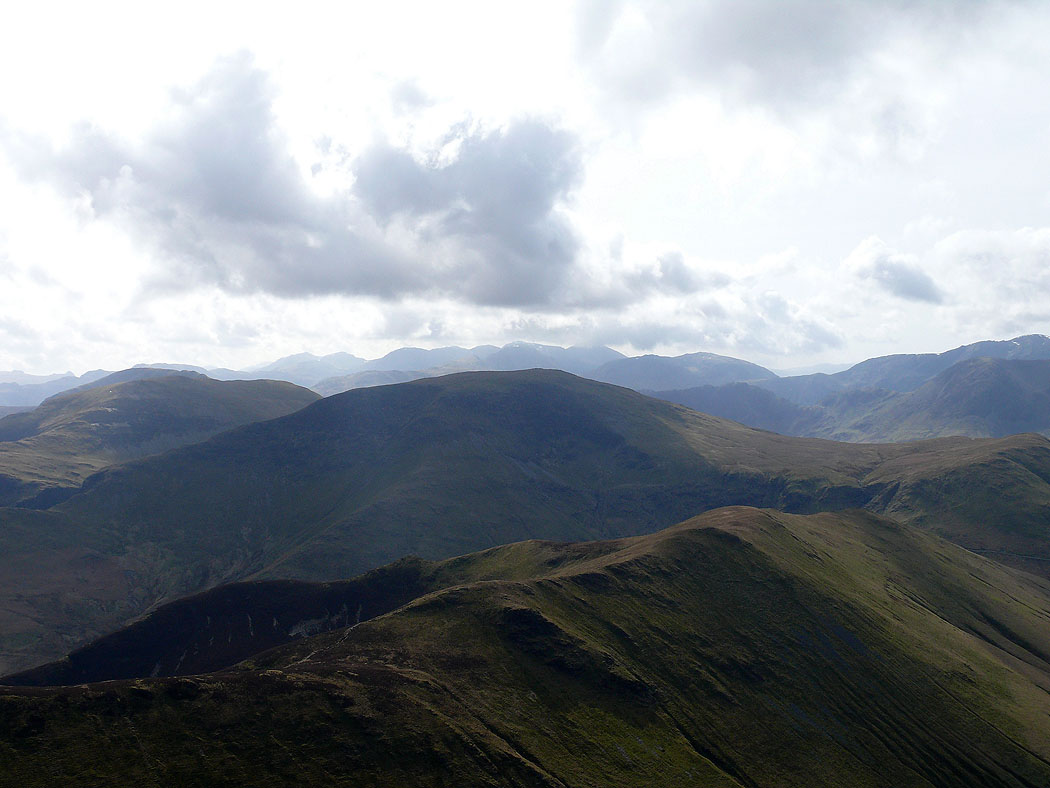
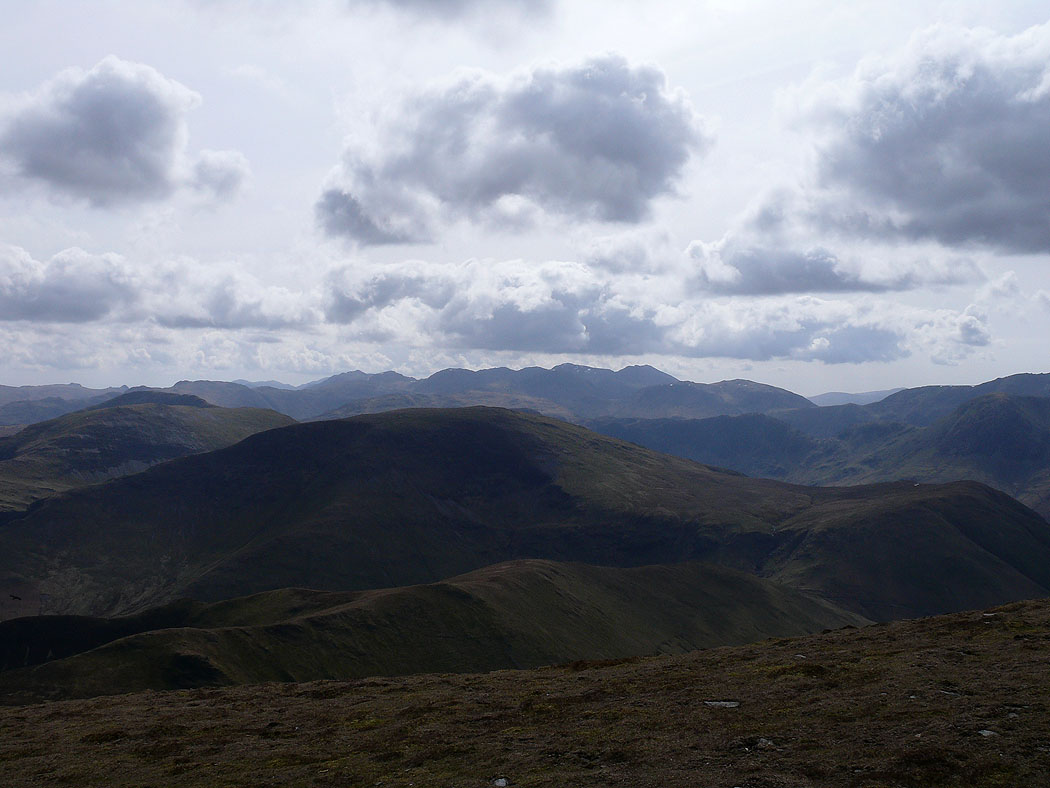
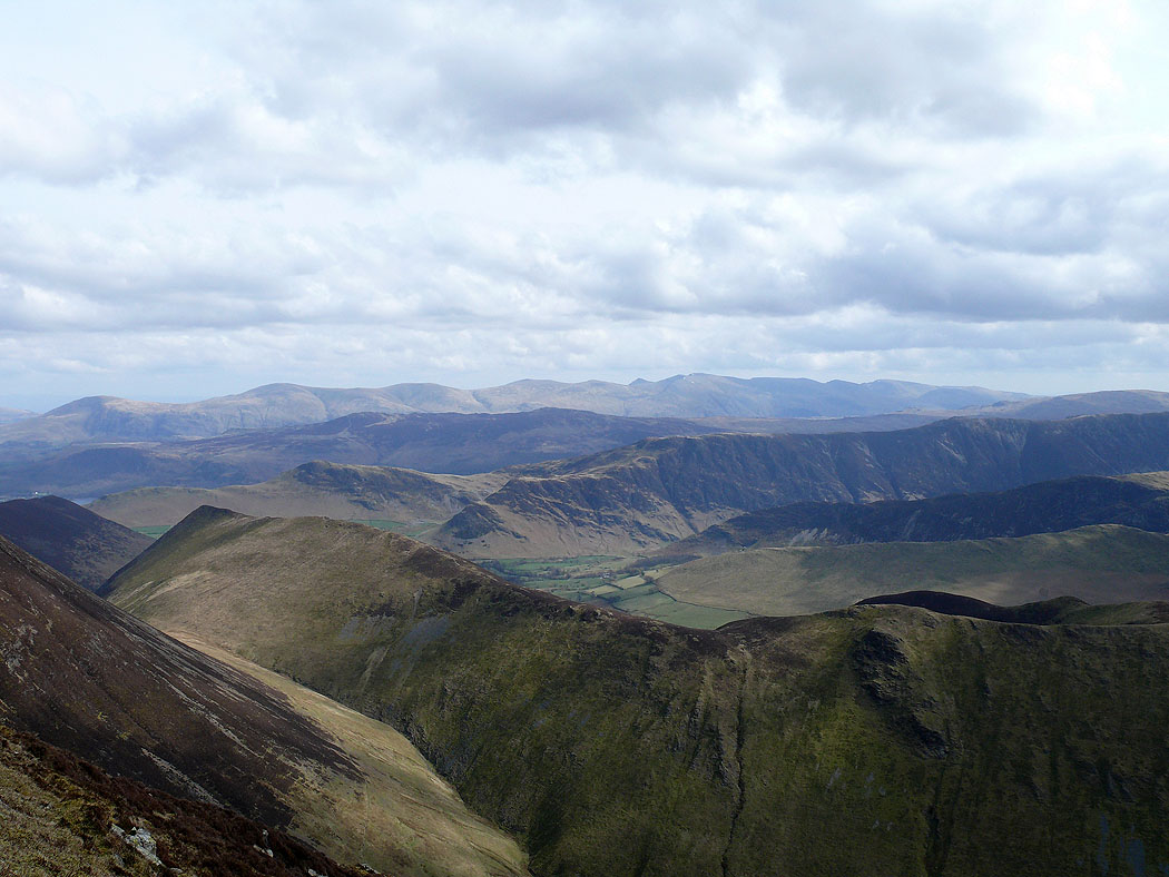
Ridge upon ridge looking east from Wandope. The first one below is Ard Crags to Knott Rigg, then High Snab Bank and Scope End coming down from Robinson and Hindscarth respectively. Beyond that is Cat Bells to Maiden Moor and High Spy, then High Seat and the central ridge and finally in the distance the Helvellyn range.
On Hopegill Head and the view across to Grisedale Pike
Hobcarton Crag
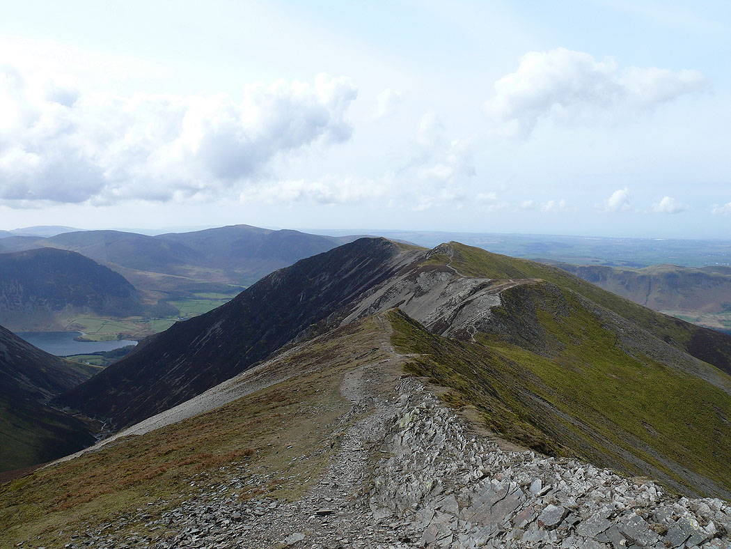
The Whiteside ridge
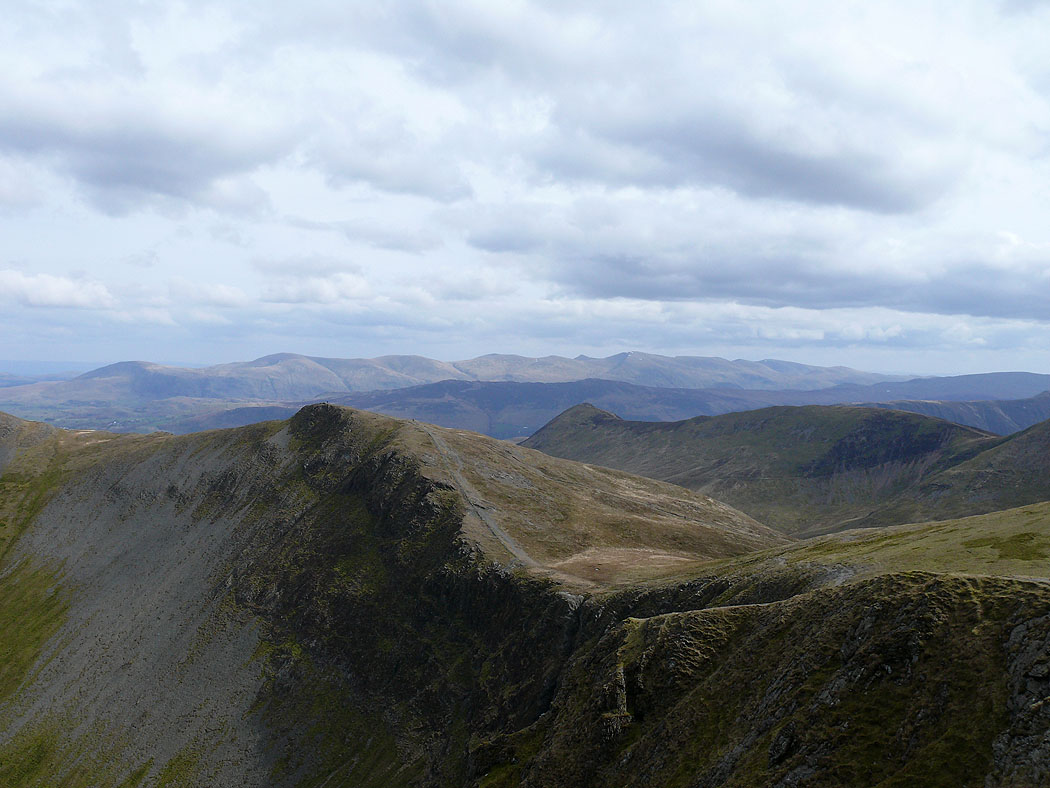
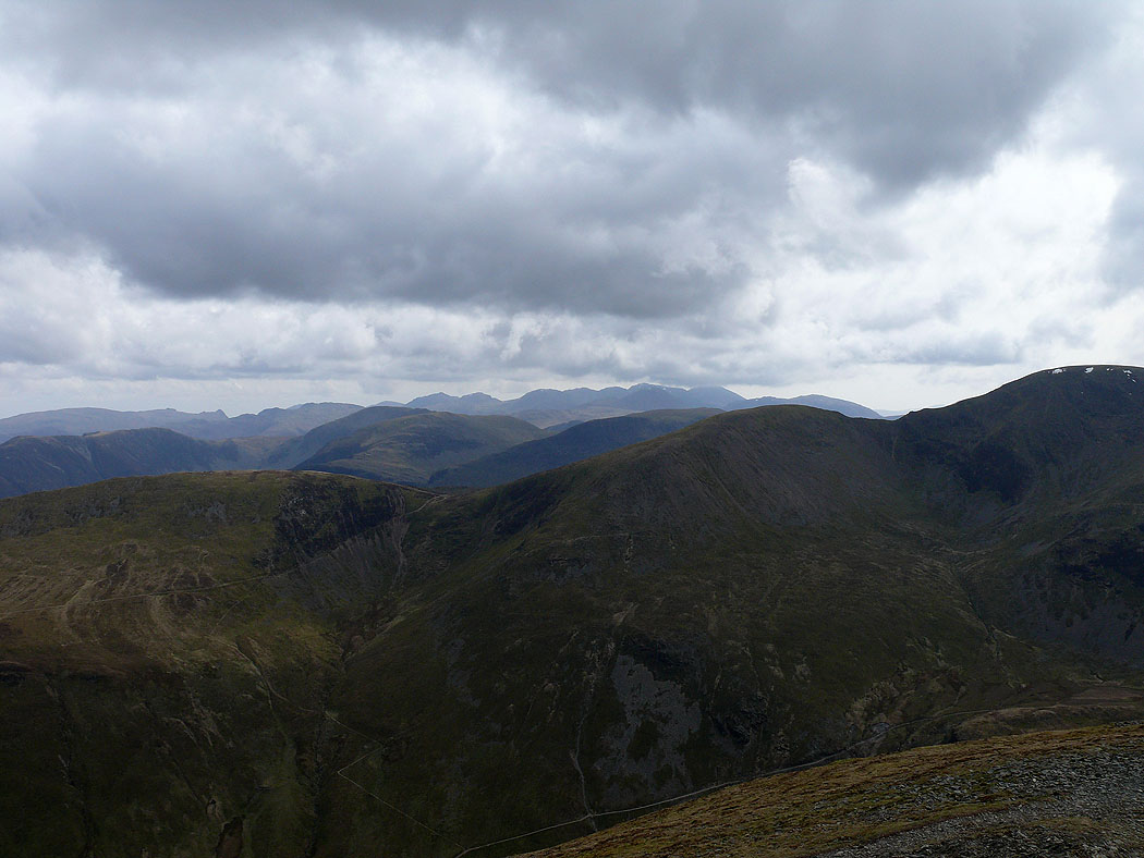
On the final summit of the day, Grisedale Pike. The view across to the Helvellyn range.
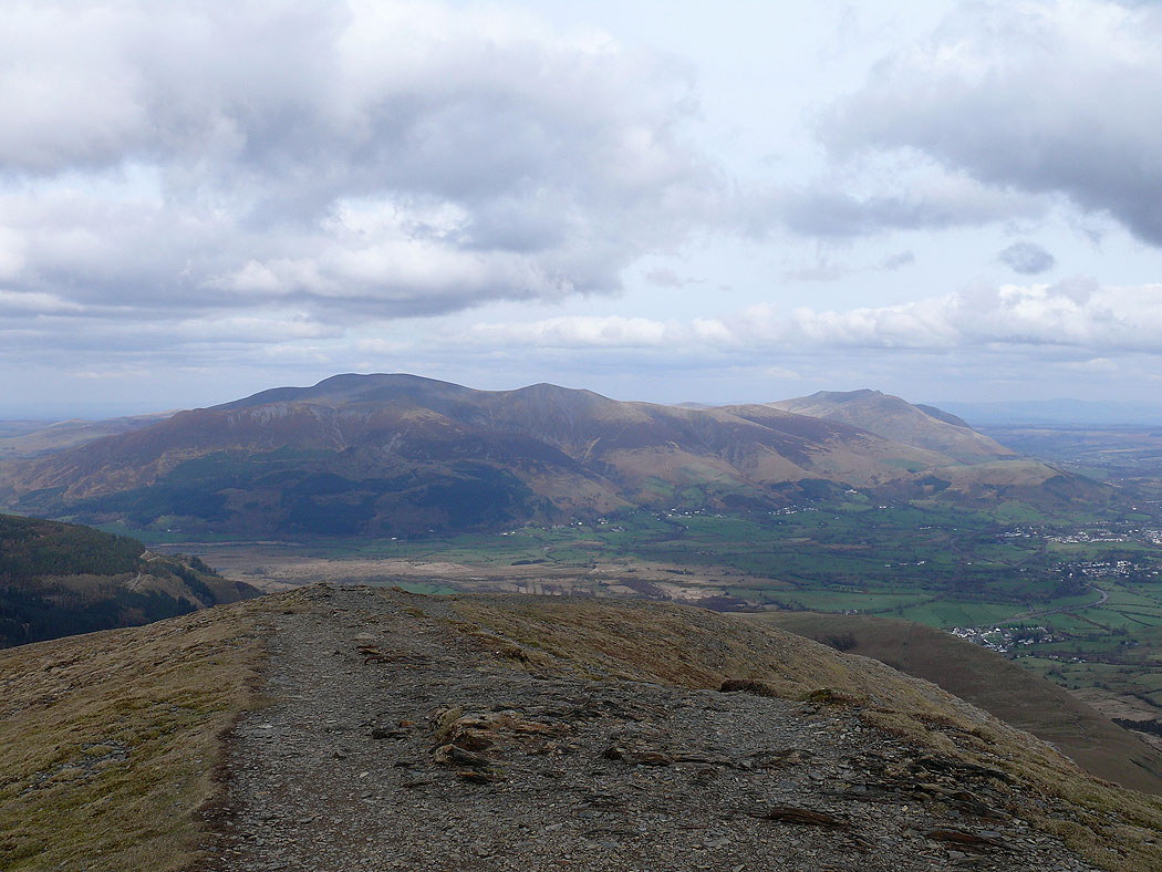
Skiddaw and Blencathra
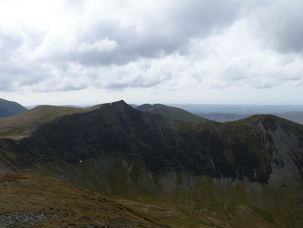
The first half of the walk; Scar Crags, Sail and Crag Hill across Coledale
Hopegill Head and Ladyside Pike
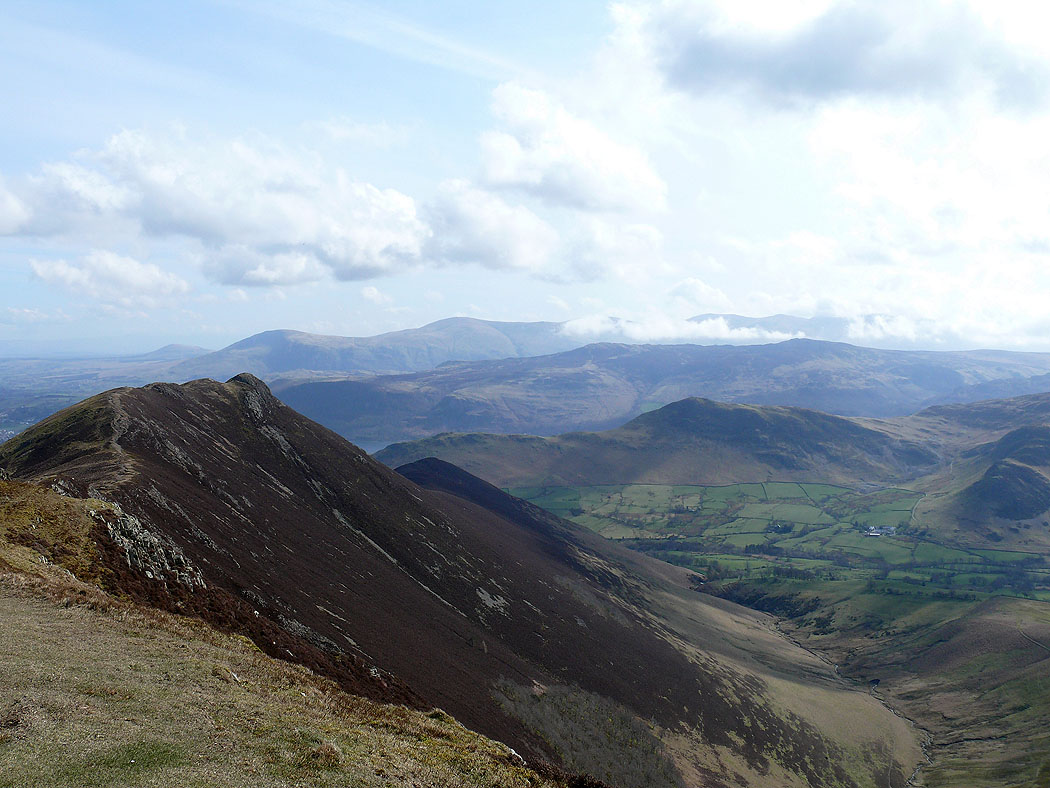
Barrow and Stile End across Coledale
Skiddaw from Kinn
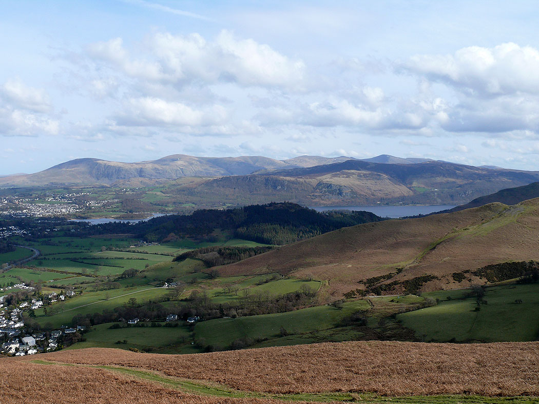
The wooded hill of Swinside with Derwent Water and Walla Crag behind
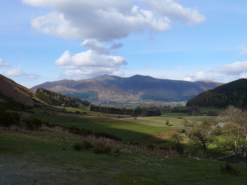
Back at the start of the walk and a final picture of Skiddaw
