5th April 2021 - Pinhaw Beacon
Walk Details
Distance walked: 15.7 miles
Total ascent: 2632 ft
OS map used: OL21 - South Pennines
Time taken: 7.5 hrs
Route description: Foulridge-Noyna Road-Cob Lane-Great Edge-Harwes Farm-Piked Edge-Black Lane Ends-Burnt Hill-Hawshaw Road-The Fold-Knott Barn-White Hill Lane-Pennine Way-Pinhaw Beacon-Pennine Way-Rectory Allotment-Gaylands Lane-Wentcliff Brook-Birch Hall Lane-Pendle Way-Heads Lane-Paris Farm-Cob Lane-Kelbrook Moor-Harwes Farm-Great Edge-Cob Lane-Noyna End Farm-Noyna Hill-Foulridge
The final day of the long Easter weekend and the weather has come up trumps. There's a fine day forecast with lots of blue skies and sunshine, and with excellent visibility I'll have fantastic all-round views to take in from the moors. It was a bit unimaginative of me to head for Pinhaw Beacon for the second time in four days, but I wanted to do a walk that would last the whole day and keep me up on the moors for as much of the time as possible. It was a glorious day. After a cold and frosty start, there were long sunny spells, and although it felt warm in the sun, the strong northerly wind that was blowing had a real chill to it.
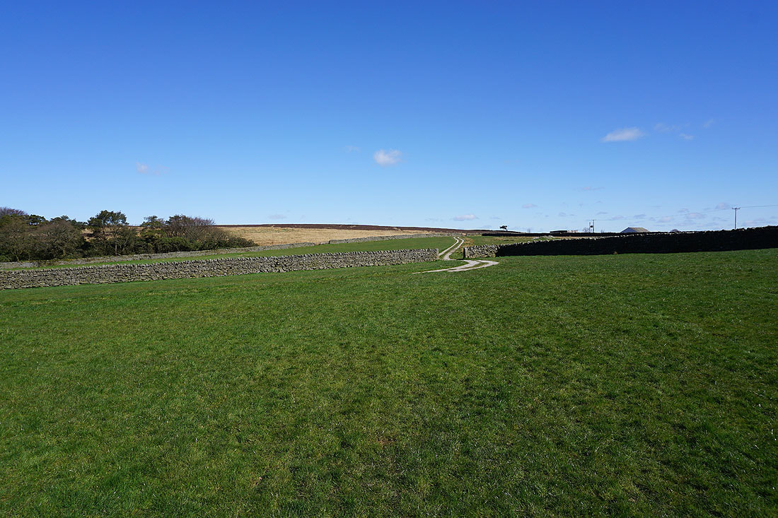
From where I live in Foulridge I made my way to the bottom of Noyna Road and walked up Noyna Road to its top and left onto Cob Lane. After a brief walk north along Cob Lane I took the footpath on the right down to and across Moss Houses Beck and up onto Great Edge and then across to Harwes Farm. I then followed the public footpath from Harwes Farm to Piked Edge, the path north and the Pennine Bridleway to Burnt Hill, and then the track on Burnt Hill east to reach Skipton Old Road. After a brief walk north along Skipton Old Road I took Hawshaw Road on the right and followed this east until I reached a footpath on the left down to the hamlet of The Fold in Lothersdale. I then turned right and walked along the road until I reached a footpath on the left that I followed up across a field to Knott Barn on White Hill Lane. I then walked east along White Hill Lane until I reached the trail of the Pennine Way, which I followed north to Pinhaw Beacon, where I stopped for lunch. From Pinhaw Beacon I kept on the Pennine Way and followed it west to and across West Lane, then down Clogger Lane before leaving it for the bridleway across the moorland of Rectory Allotment to the top of Gaylands Lane. I then walked down Gaylands Lane until I reached a footpath on the left down to Wentcliff Brook and up to Birch Hall Lane. After a brief walk up Birch Hall Lane I reached the trail of the Pendle Way, which I followed south until I reached Heads Lane. I crossed Heads Lane and took the footpath opposite down to Harden Beck and then up past Paris Farm to Thick Bank Farm and Cob Lane. After a brief walk up Cob Lane I reached the track on the left to Harden New Hall. I took the public footpath from here up onto Kelbrook Moor, following a wall uphill to reach the trig point, then a path down to the edge of access land at Harwes Farm, from where I took the footpath southwest onto Great Edge. I then followed the path west down Great Edge and across Moss Houses Beck and up to Cob Lane. A path from Cob Lane at Noyna End Farm took me up onto Noyna Hill, and the path west across its top and down to Skipton Old Road was followed. A short walk back to my home in Foulridge was left.
Total ascent: 2632 ft
OS map used: OL21 - South Pennines
Time taken: 7.5 hrs
Route description: Foulridge-Noyna Road-Cob Lane-Great Edge-Harwes Farm-Piked Edge-Black Lane Ends-Burnt Hill-Hawshaw Road-The Fold-Knott Barn-White Hill Lane-Pennine Way-Pinhaw Beacon-Pennine Way-Rectory Allotment-Gaylands Lane-Wentcliff Brook-Birch Hall Lane-Pendle Way-Heads Lane-Paris Farm-Cob Lane-Kelbrook Moor-Harwes Farm-Great Edge-Cob Lane-Noyna End Farm-Noyna Hill-Foulridge
The final day of the long Easter weekend and the weather has come up trumps. There's a fine day forecast with lots of blue skies and sunshine, and with excellent visibility I'll have fantastic all-round views to take in from the moors. It was a bit unimaginative of me to head for Pinhaw Beacon for the second time in four days, but I wanted to do a walk that would last the whole day and keep me up on the moors for as much of the time as possible. It was a glorious day. After a cold and frosty start, there were long sunny spells, and although it felt warm in the sun, the strong northerly wind that was blowing had a real chill to it.
From where I live in Foulridge I made my way to the bottom of Noyna Road and walked up Noyna Road to its top and left onto Cob Lane. After a brief walk north along Cob Lane I took the footpath on the right down to and across Moss Houses Beck and up onto Great Edge and then across to Harwes Farm. I then followed the public footpath from Harwes Farm to Piked Edge, the path north and the Pennine Bridleway to Burnt Hill, and then the track on Burnt Hill east to reach Skipton Old Road. After a brief walk north along Skipton Old Road I took Hawshaw Road on the right and followed this east until I reached a footpath on the left down to the hamlet of The Fold in Lothersdale. I then turned right and walked along the road until I reached a footpath on the left that I followed up across a field to Knott Barn on White Hill Lane. I then walked east along White Hill Lane until I reached the trail of the Pennine Way, which I followed north to Pinhaw Beacon, where I stopped for lunch. From Pinhaw Beacon I kept on the Pennine Way and followed it west to and across West Lane, then down Clogger Lane before leaving it for the bridleway across the moorland of Rectory Allotment to the top of Gaylands Lane. I then walked down Gaylands Lane until I reached a footpath on the left down to Wentcliff Brook and up to Birch Hall Lane. After a brief walk up Birch Hall Lane I reached the trail of the Pendle Way, which I followed south until I reached Heads Lane. I crossed Heads Lane and took the footpath opposite down to Harden Beck and then up past Paris Farm to Thick Bank Farm and Cob Lane. After a brief walk up Cob Lane I reached the track on the left to Harden New Hall. I took the public footpath from here up onto Kelbrook Moor, following a wall uphill to reach the trig point, then a path down to the edge of access land at Harwes Farm, from where I took the footpath southwest onto Great Edge. I then followed the path west down Great Edge and across Moss Houses Beck and up to Cob Lane. A path from Cob Lane at Noyna End Farm took me up onto Noyna Hill, and the path west across its top and down to Skipton Old Road was followed. A short walk back to my home in Foulridge was left.
Route map
© Crown copyright. All rights reserved. License number PU 100034184.
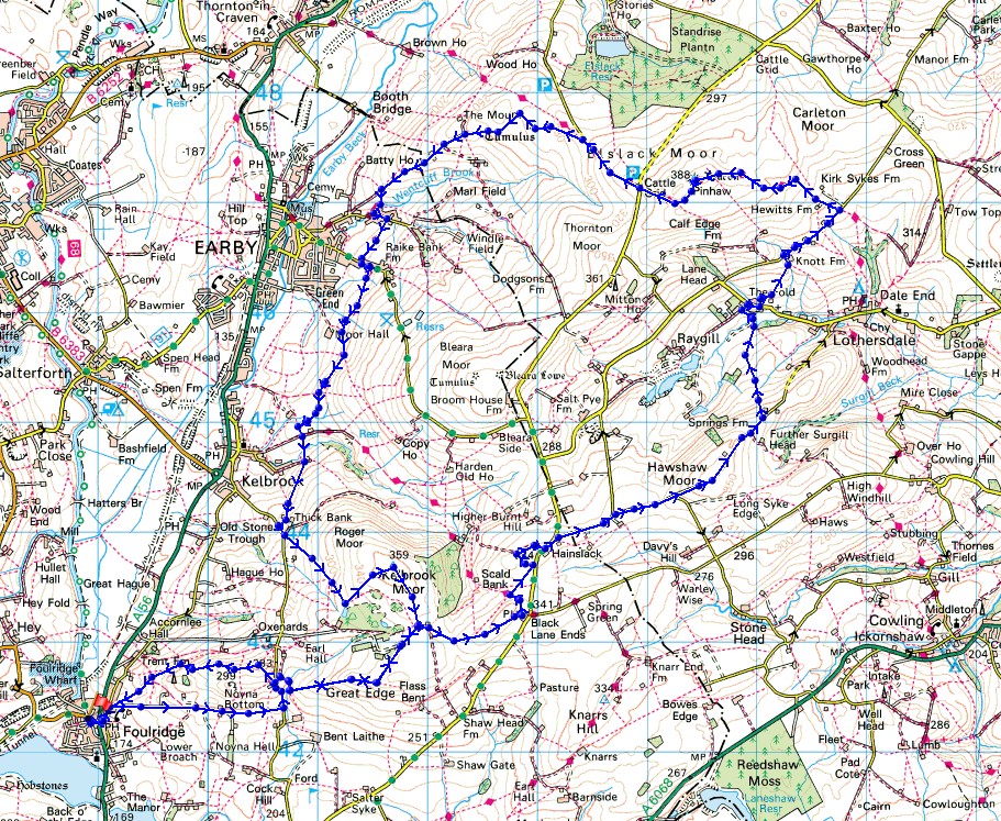
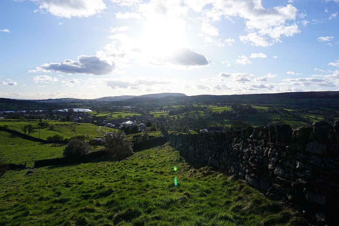
Looking back as I walk up Noyna Road to see Pendle Hill in the distance
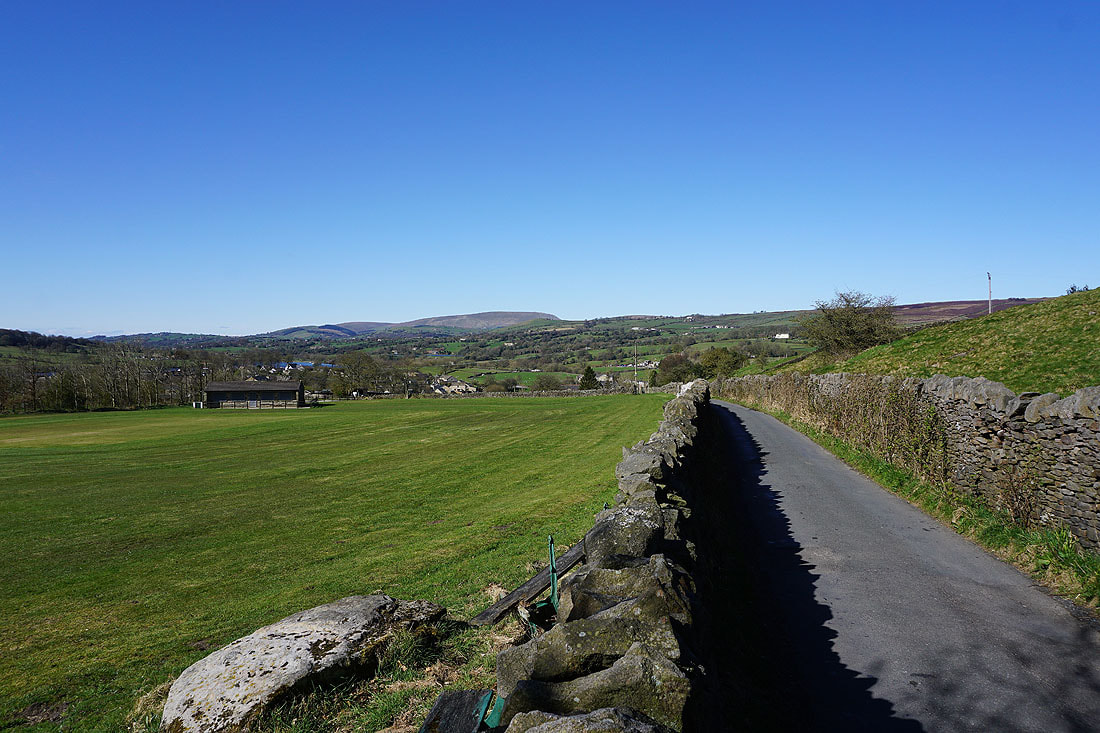
Boulsworth Hill in the distance to the south
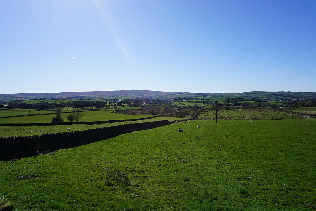
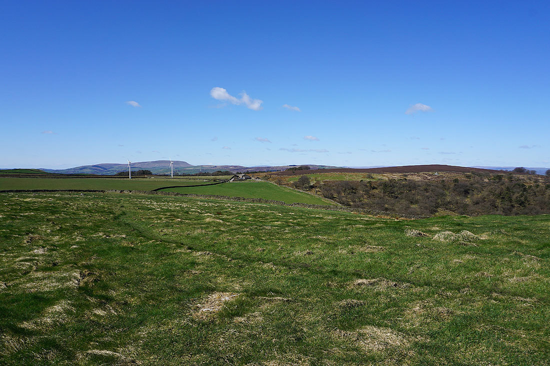
Pendle Hill and Noyna Hill from Great Edge
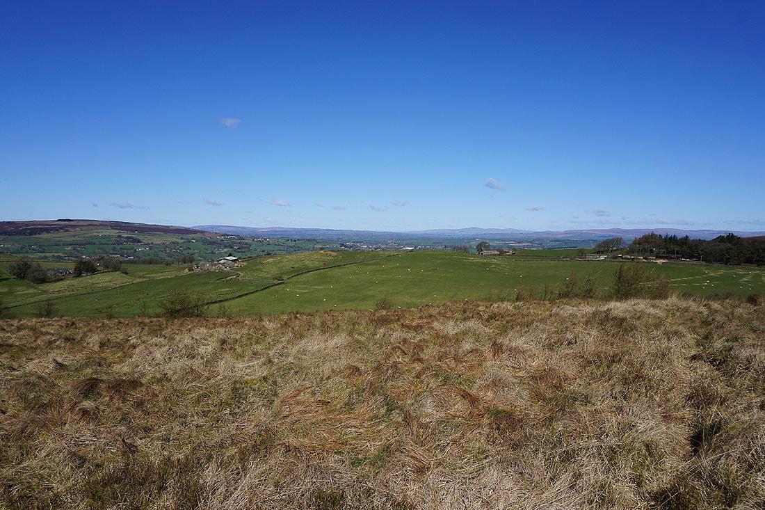
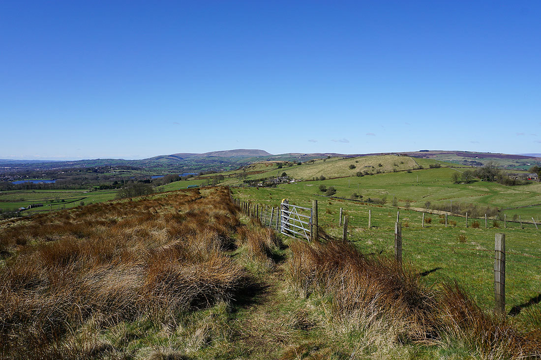
There's no trouble making out a distant Ingleborough today
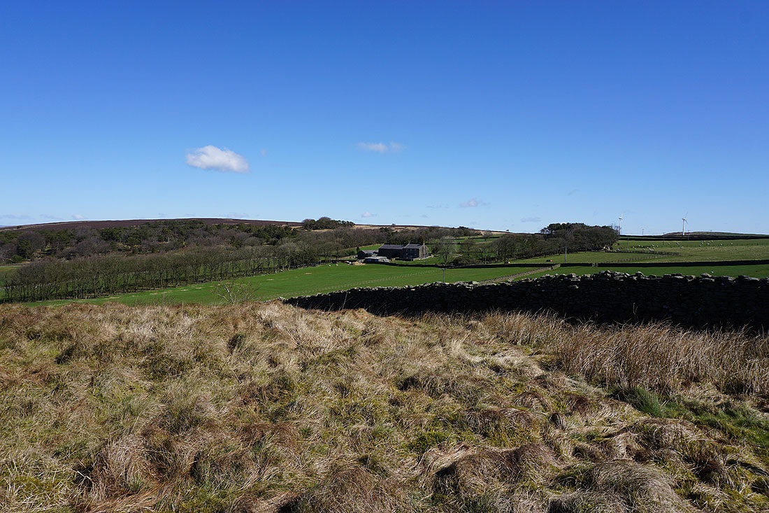
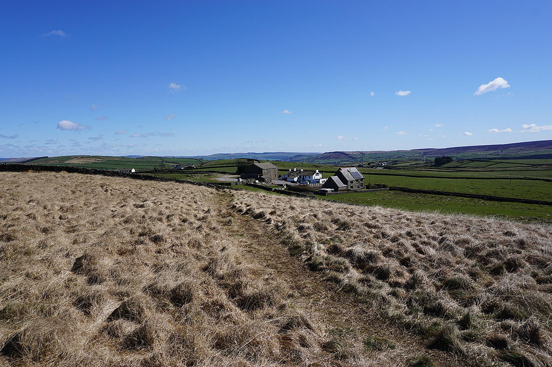
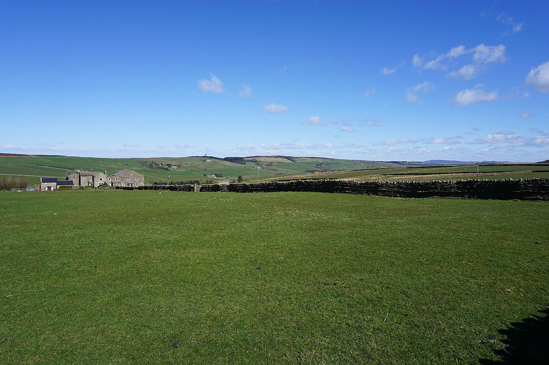
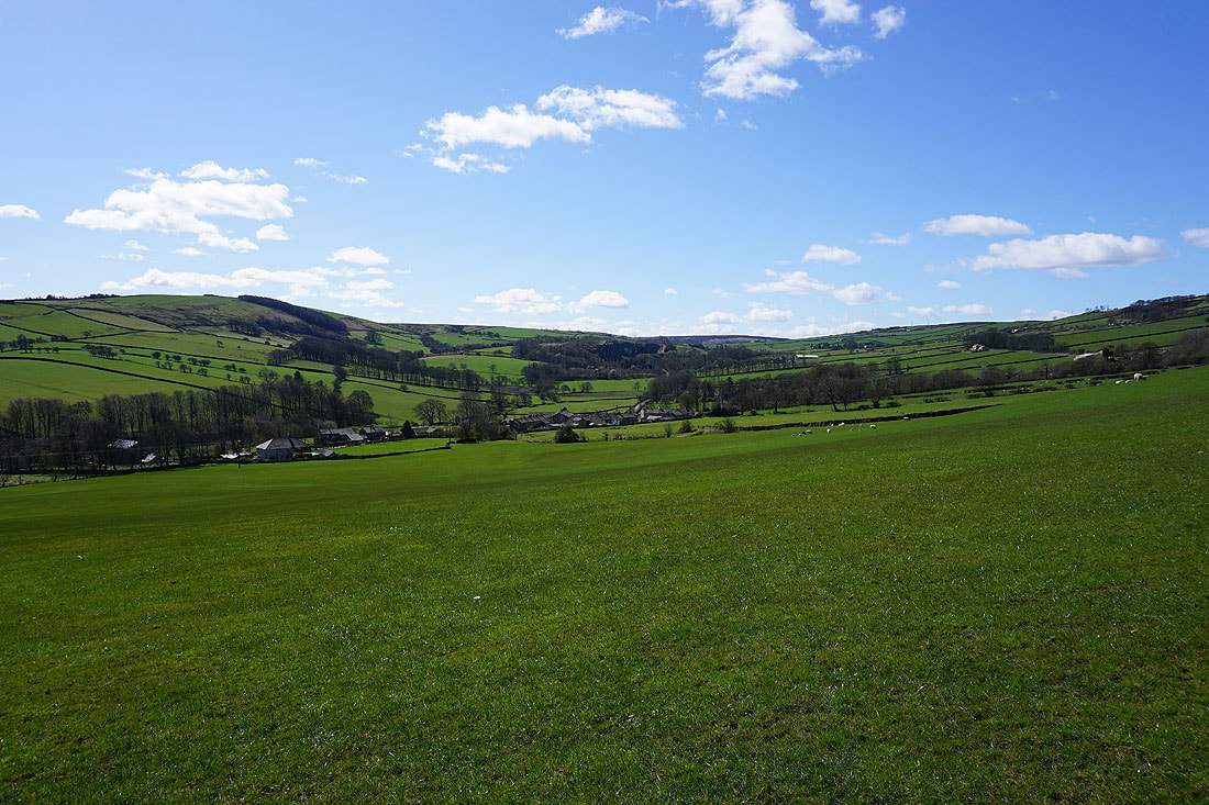
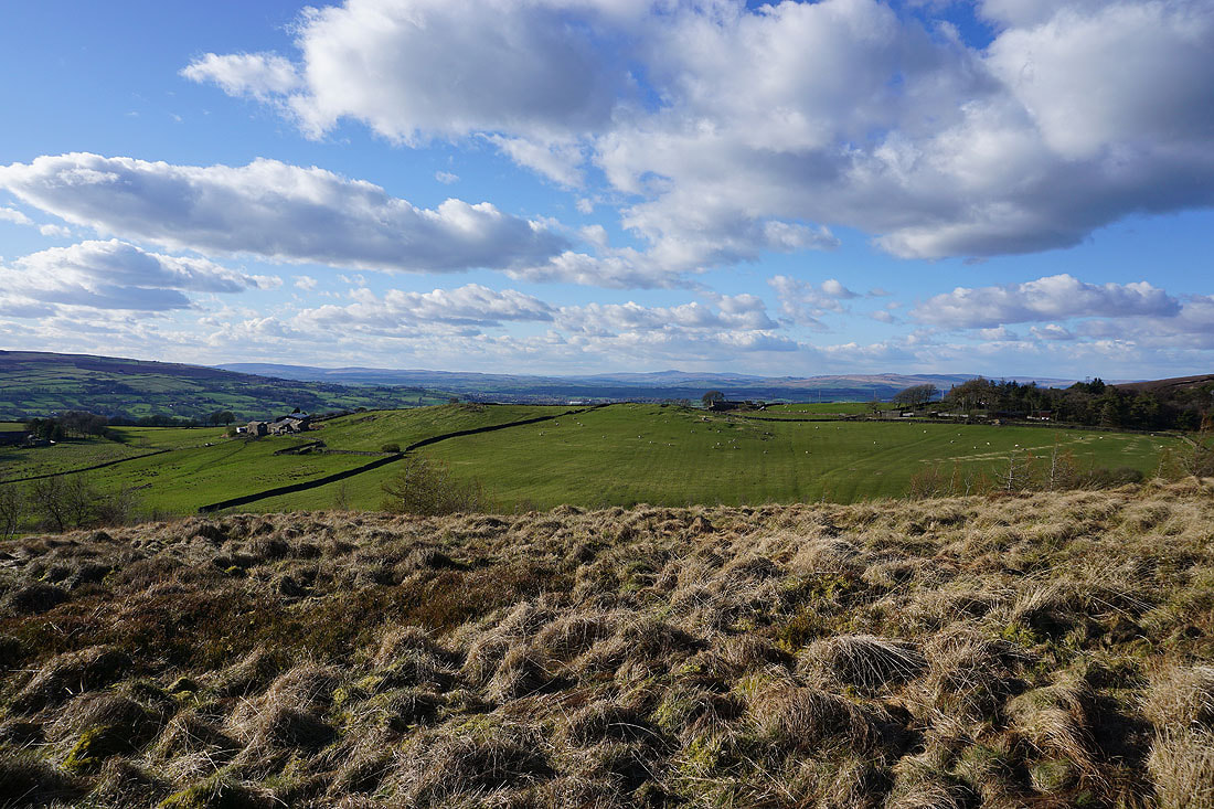
Kelbrook Moor and Great Edge Farm
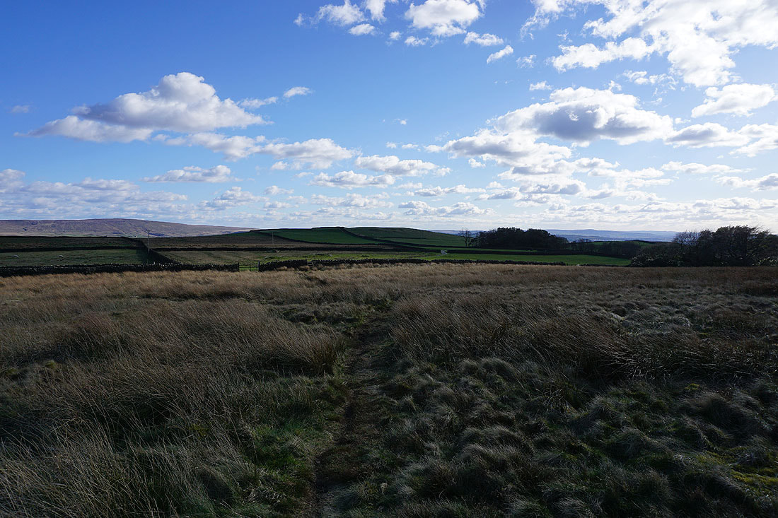
On the path from Great Edge to Harwes Farm
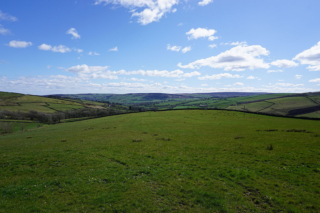
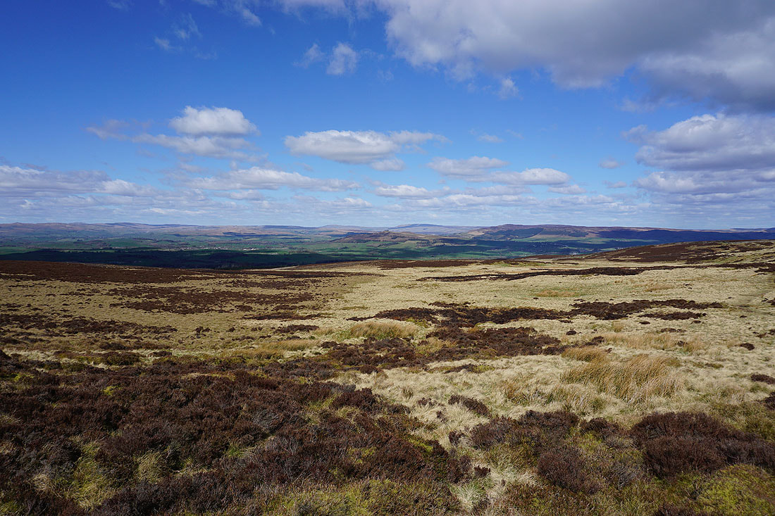
Bleara Moor, Thornton Moor and Burnt Hill as I head for Piked Edge
Pendle Hill and Kelbrook Moor from Piked Edge
Approaching Black Lane Ends with the moorland around Airedale in the distance
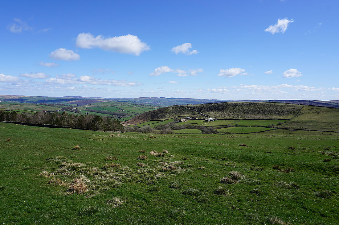
Thornton Moor and Pinhaw Beacon from Burnt Hill
A great view looking down Harden Clough to a distant Forest of Bowland and Ingleborough
Thornton Moor and Pinhaw Beacon from Hawshaw Road
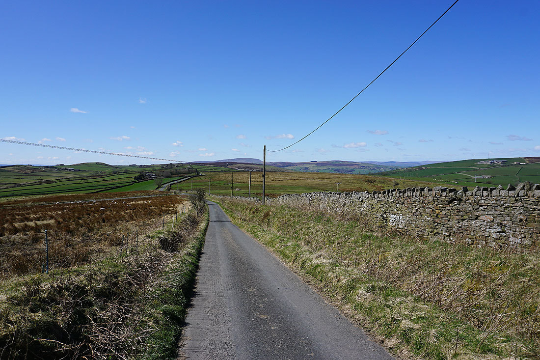
Walking east along Hawshaw Road towards Hawshaw Hill
Boulsworth Hill behind Knarrs Hill
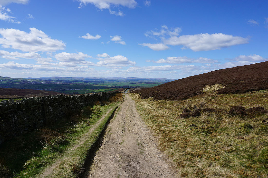
Looking back along Hawshaw Road to a distant Pendle Hill
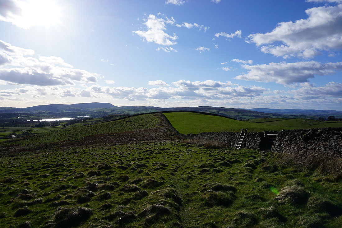
Beamsley Beacon and Addingham High Moor in the distance beyond the moors around Lothersdale
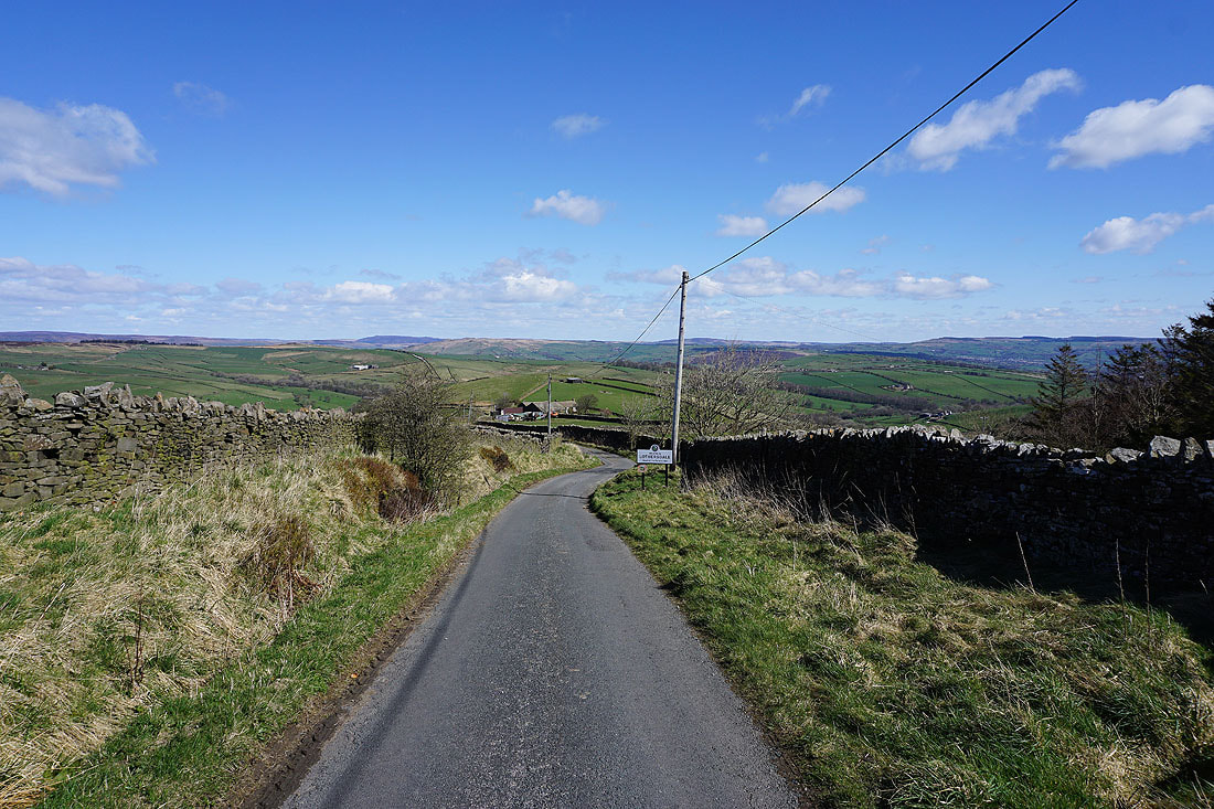
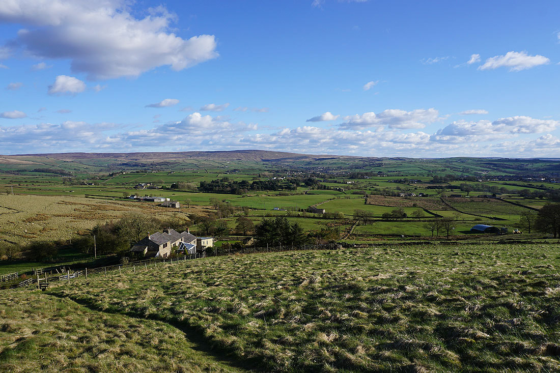
Heading down into Lothersdale
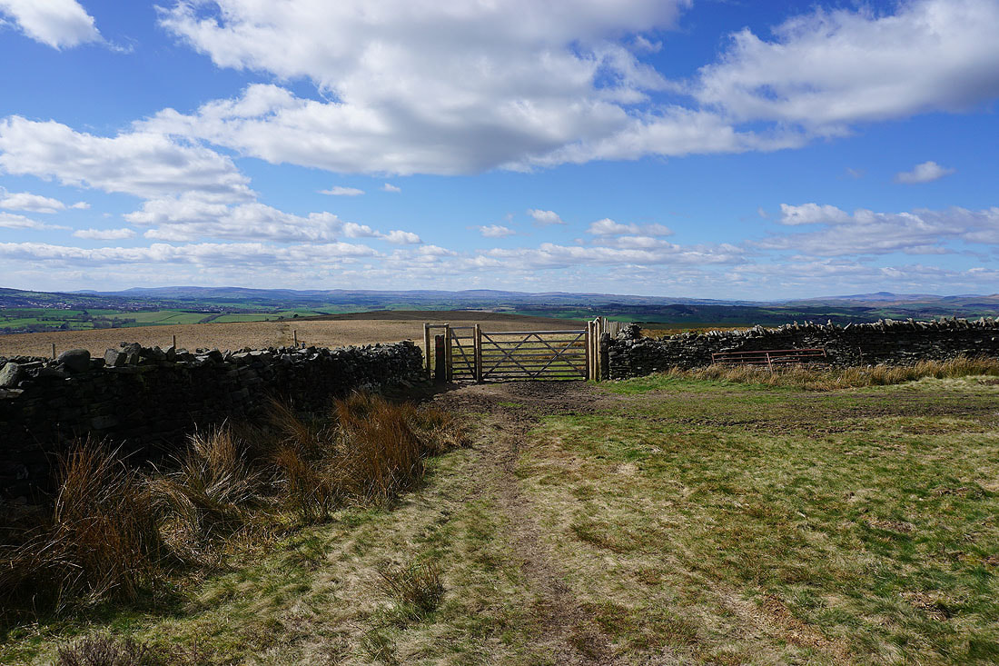
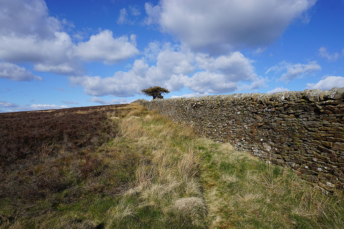
I leave the road for a footpath down to The Fold in Lothersdale
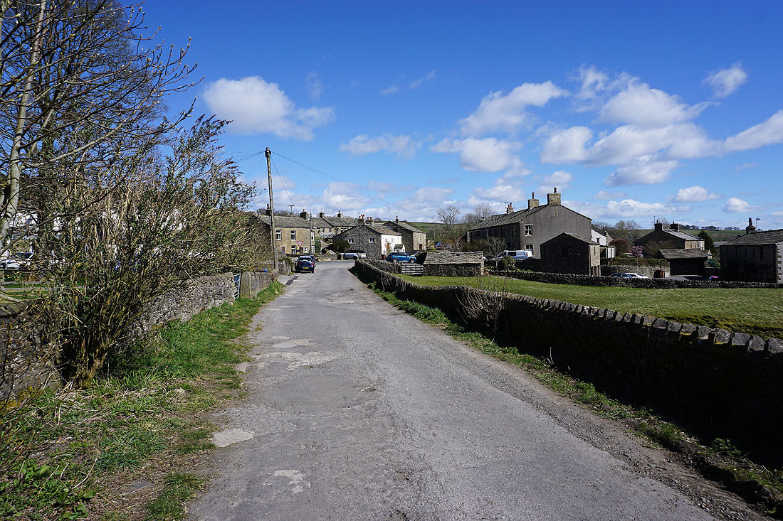
The hamlet of The Fold in Lothersdale
Looking back down to The Fold from the footpath up to White Hill Lane
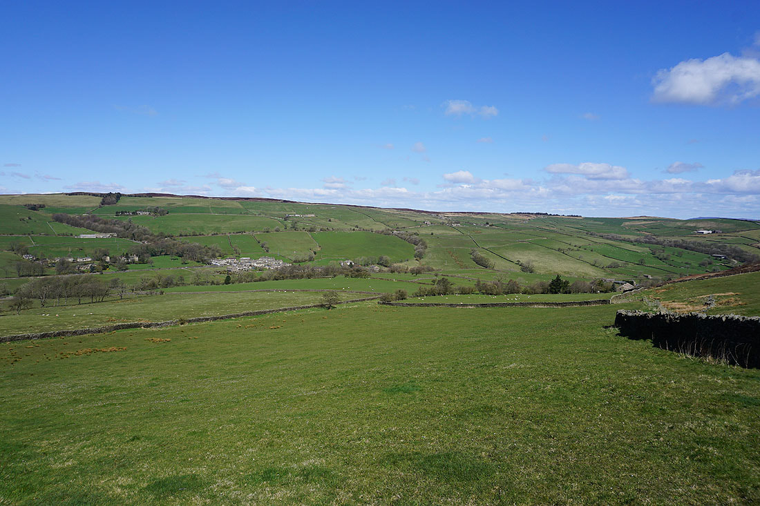
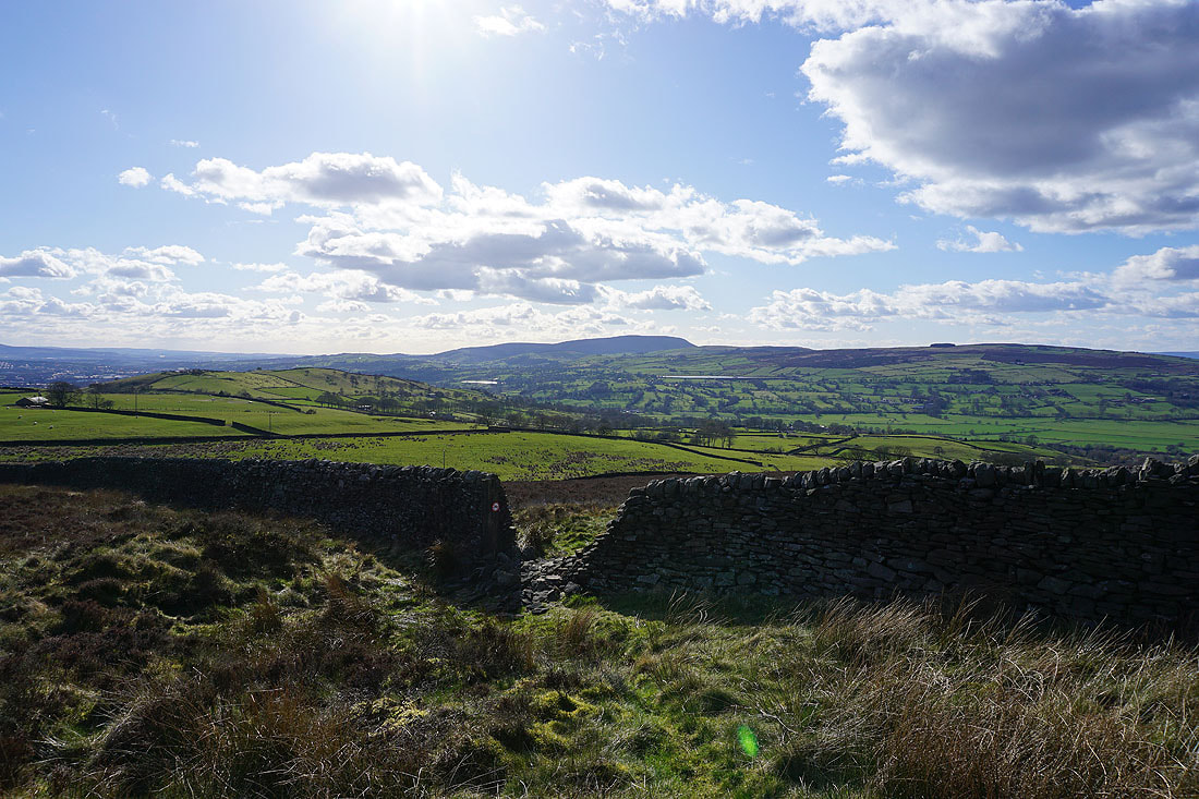
and across Lothersdale to Earl Crag from White Hill Lane
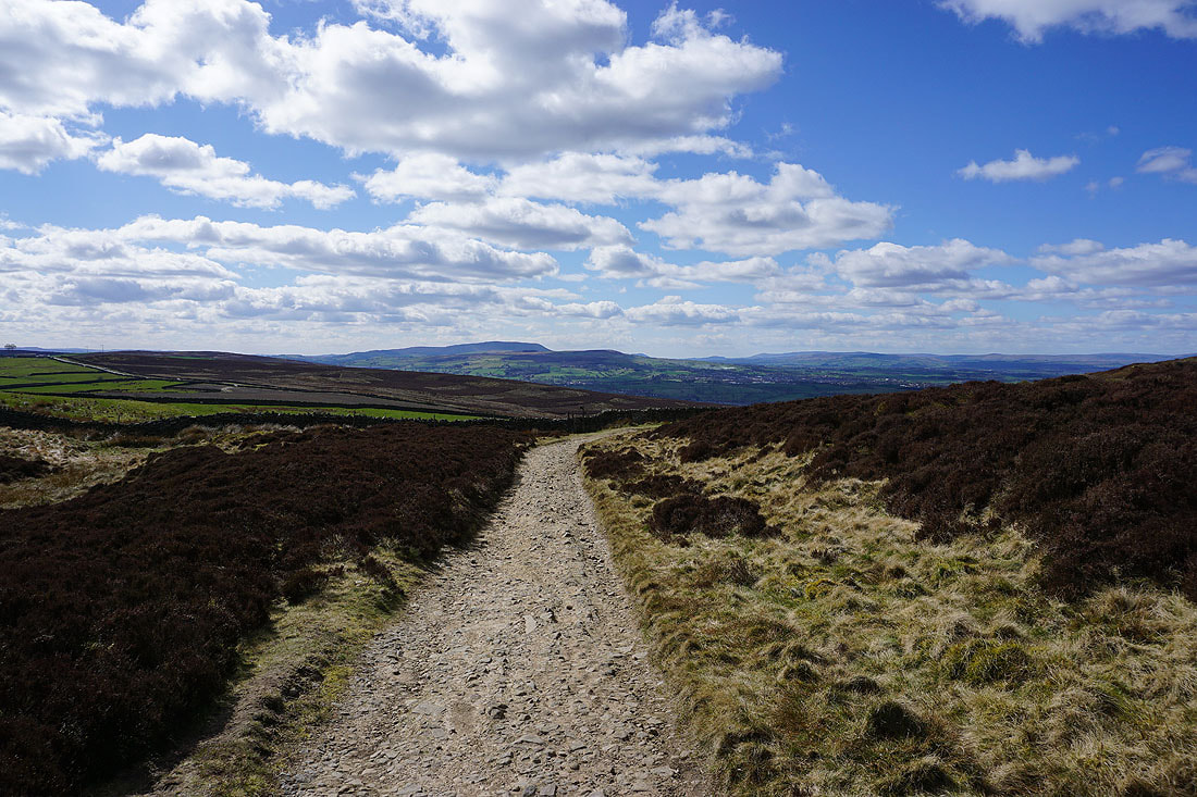
Looking east across Carleton Moor from the Pennine Way
and south across Lothersdale to Ickornshaw Moor
On Pinhaw Beacon with Buckden Pike, Great Whernside and the moors around Wharfedale to the north
Barden Moor, Barden Fell, Skipton Moor and Beamsley Beacon to the northeast and east
With excellent visibility I have fantastic long distance views. To the northwest are the fells of the Forest of Bowland; and Ingleborough, Whernside, Rye Loaf Hill and Penyghent in the Yorkshire Dales.

Then to the southwest and west are Pendle Hill and the Forest of Bowland
Zooming in to the left of Ingleborough and the fells of the Lake District can clearly be made out
Pendle Hill and Weets Hill..
..and the Forest of Bowland ahead as I follow the Pennine Way west from Pinhaw Beacon
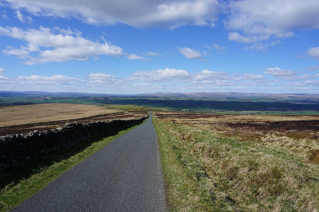
Ingleborough ahead as I walk down Clogger Lane
Looking across the moorland of Rectory Allotment to Pendle Hill, Weets Hill and the Forest of Bowland from Clogger Lane
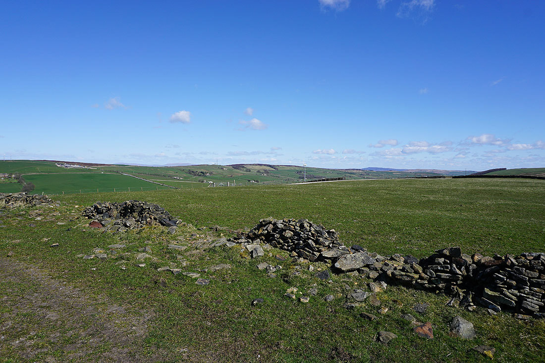
Taking the bridleway onto the moorland of Rectory Allotment
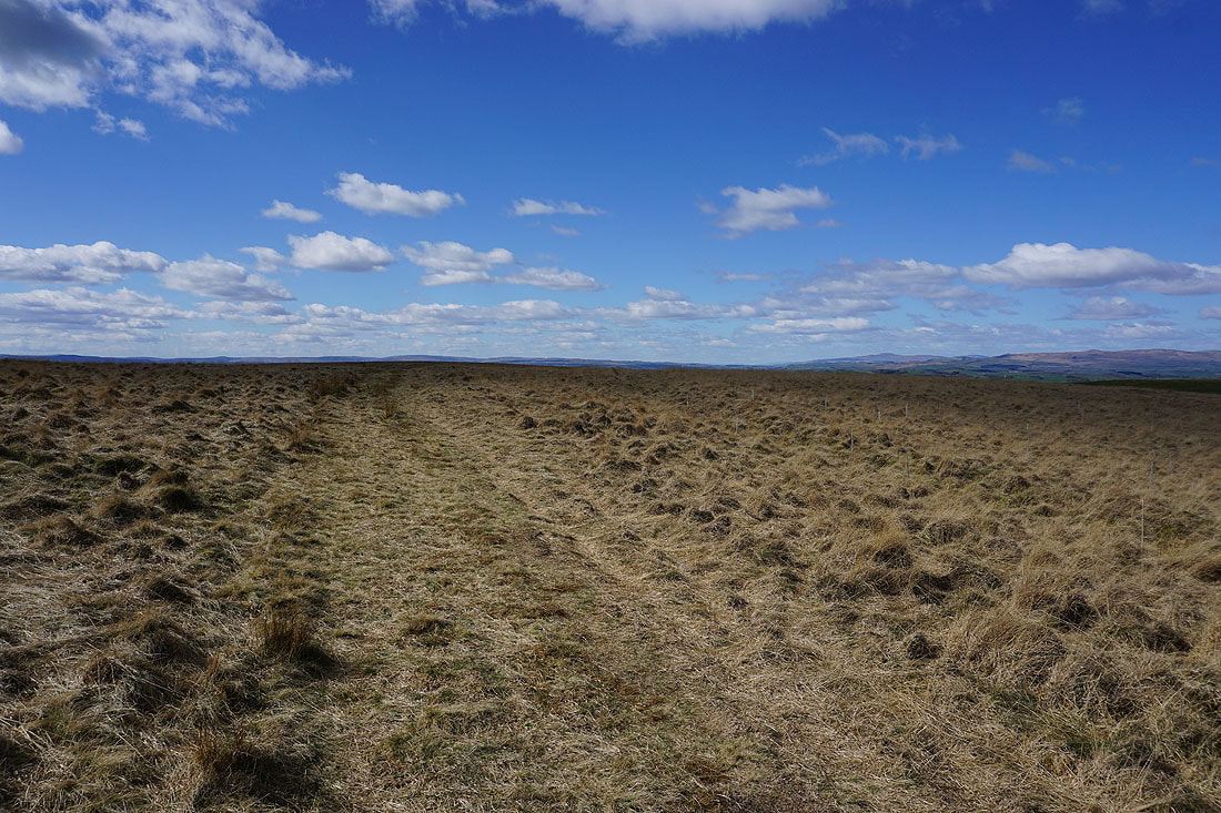
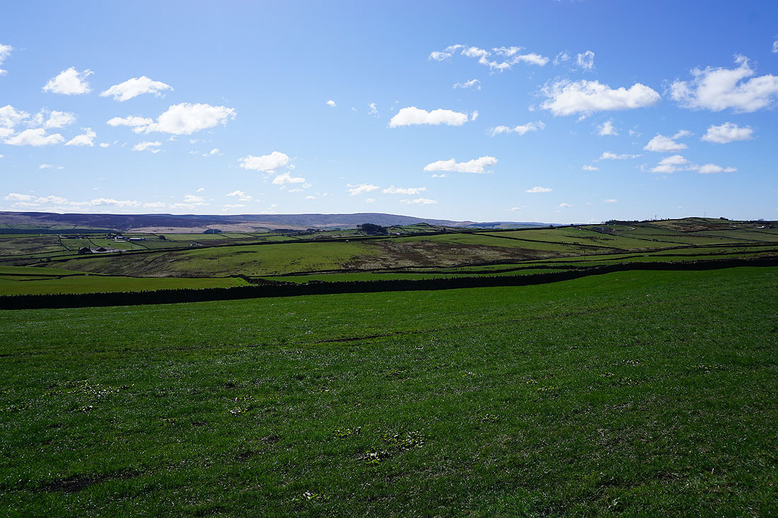
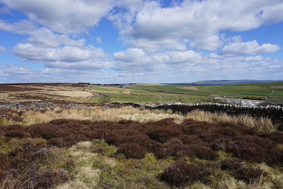
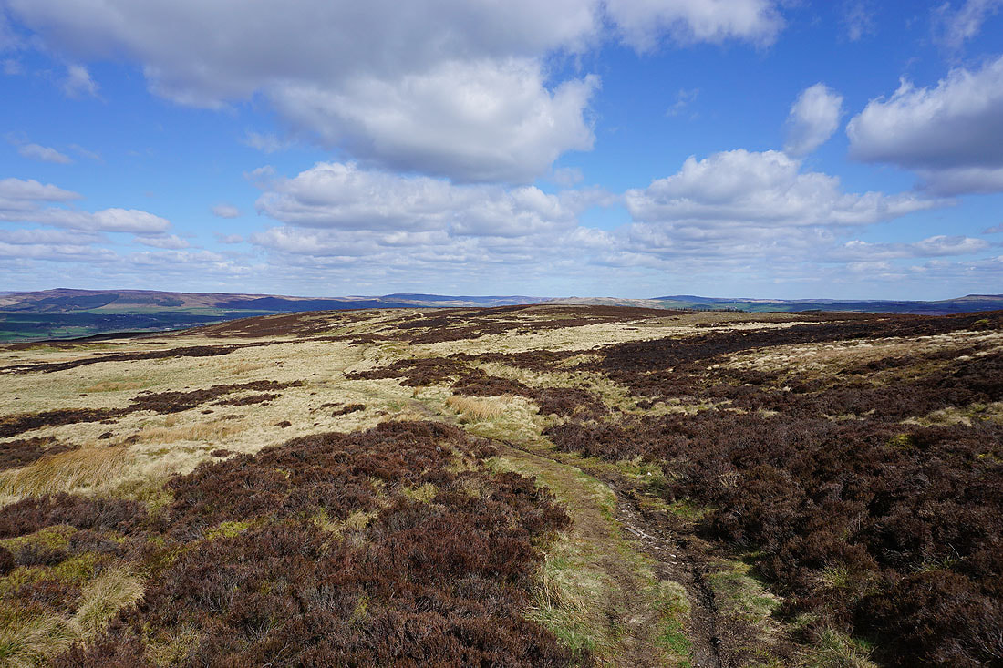
Blue skies above bleached moorland grass
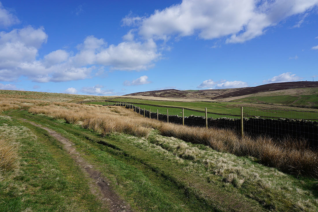
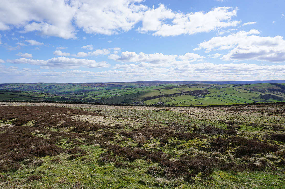
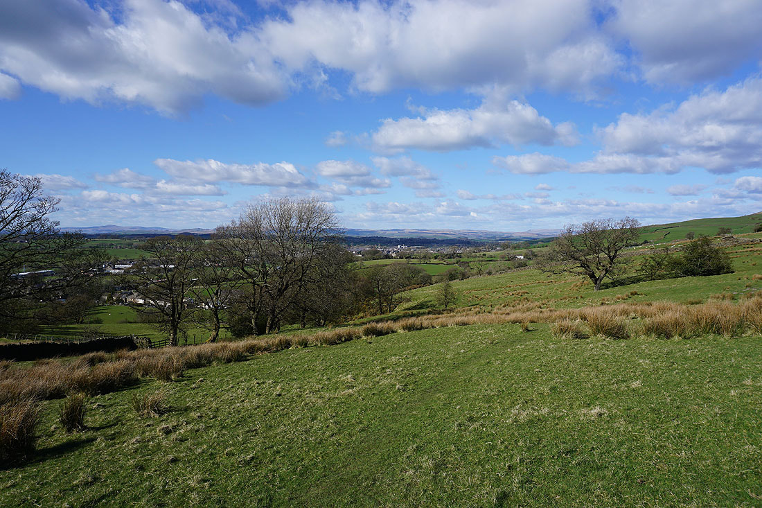
Looking back up to Thornton Moor
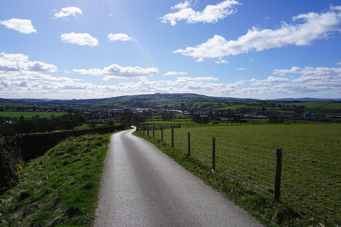
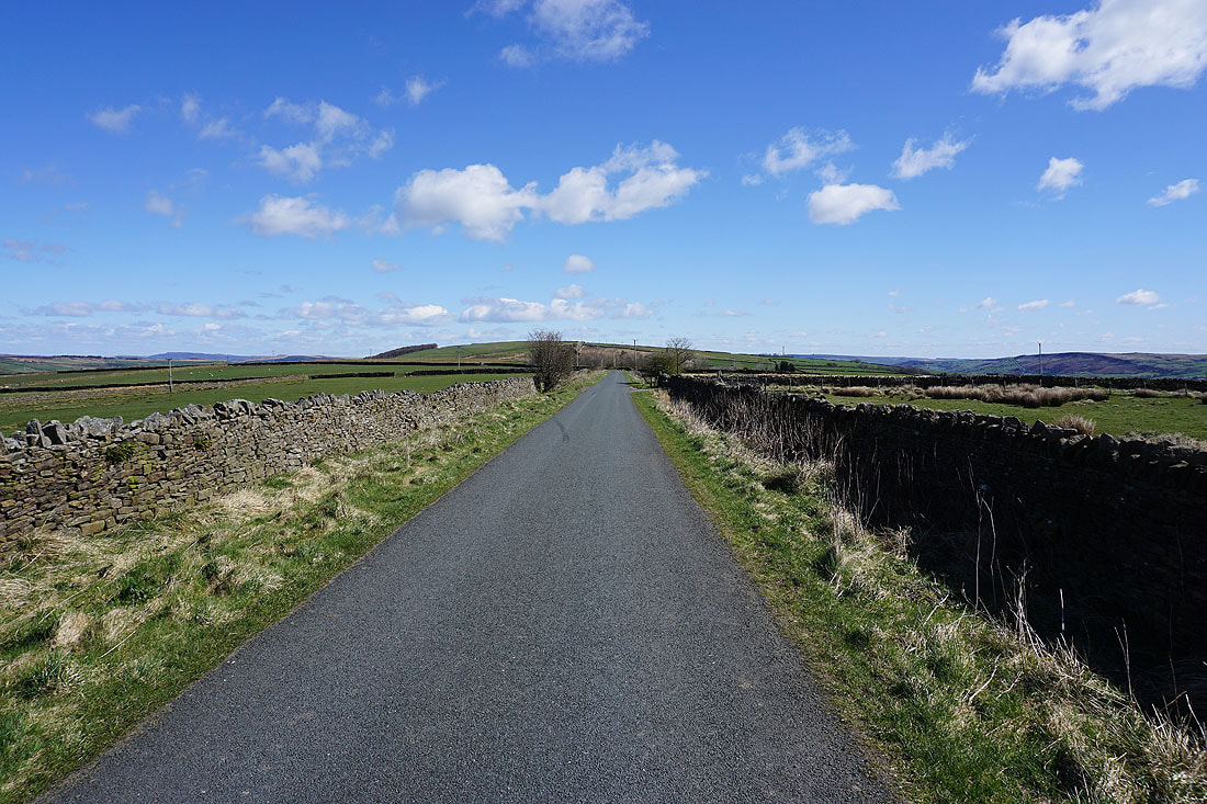
Walking down Gaylands Lane towards Earby
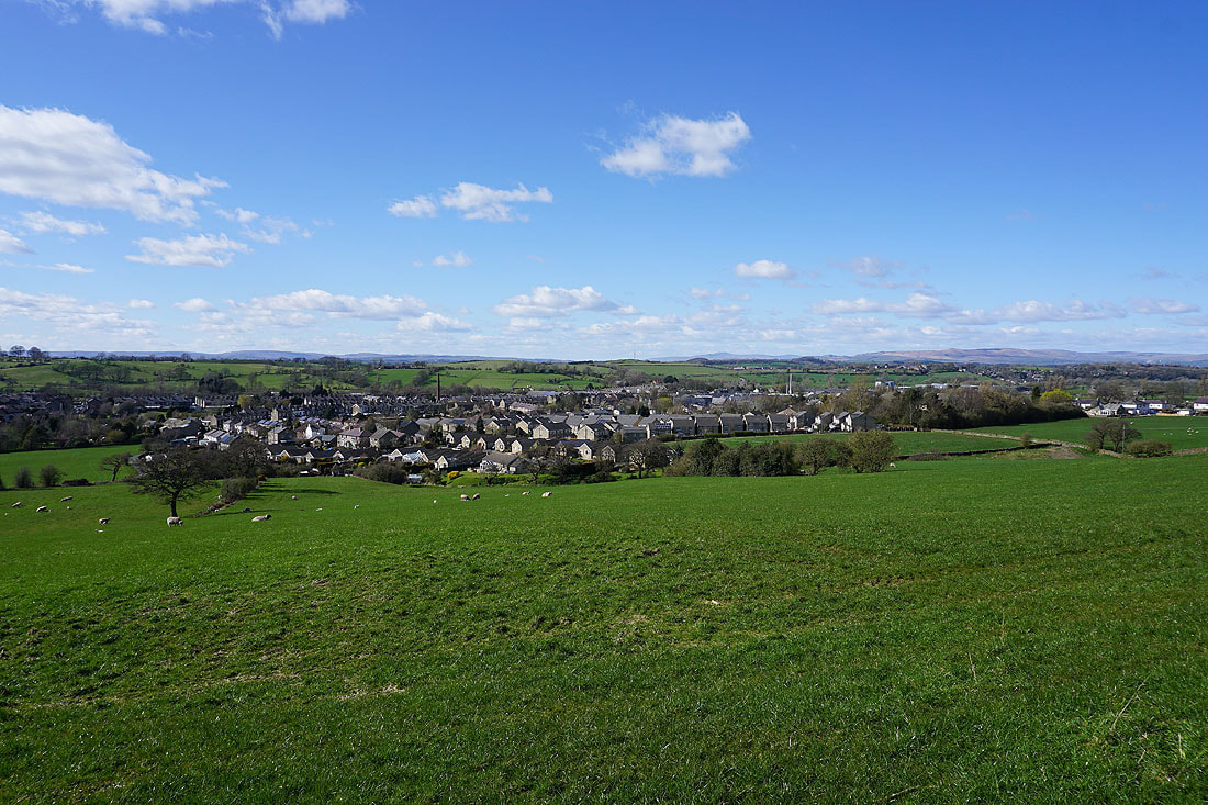
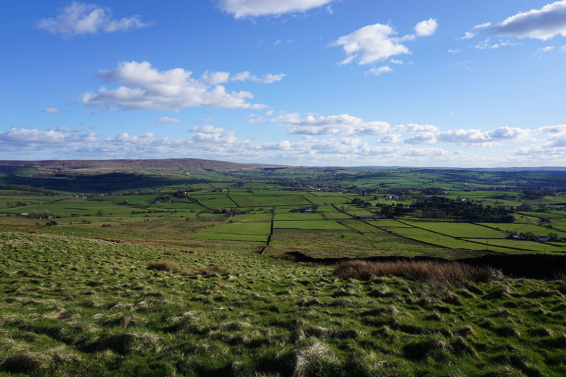
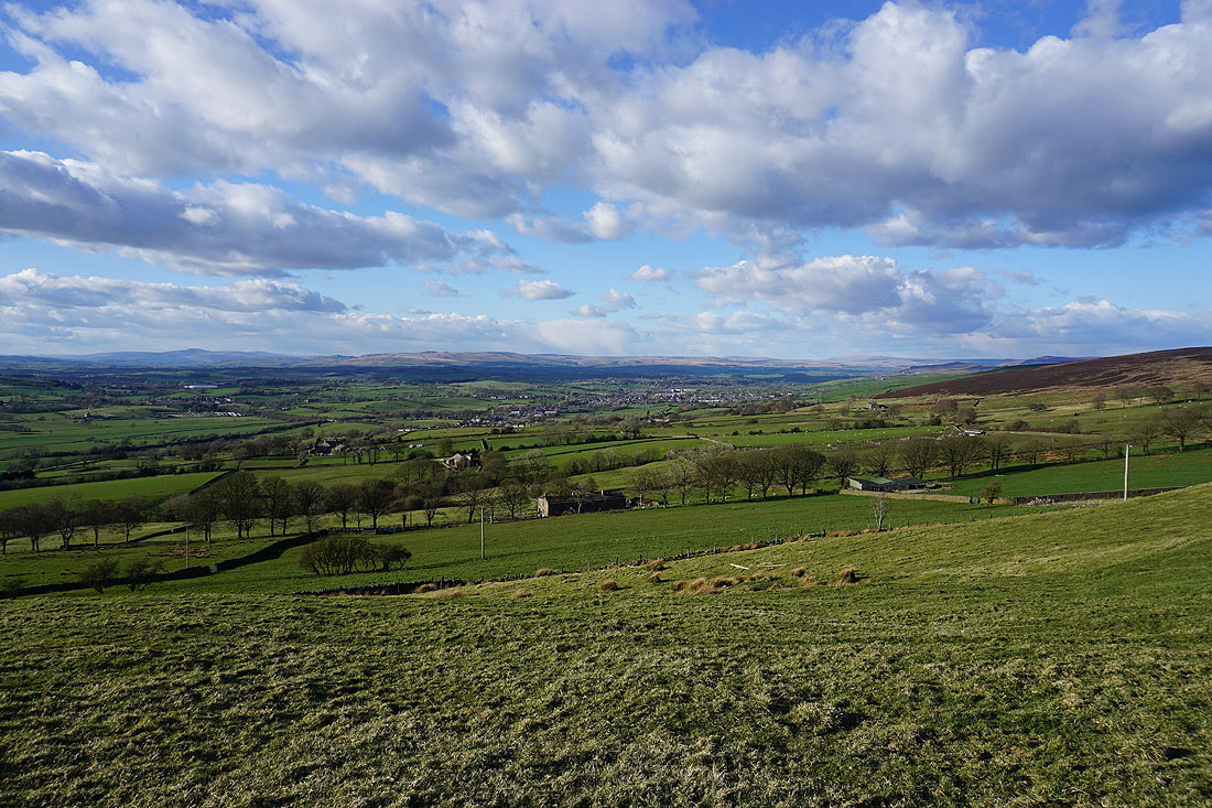
Great views across the rooftops of Earby to a distant Ingleborough as I follow the Pendle Way south to Kelbrook..
Ingleborough in the distance on the left and Great Whernside on the right from the path up to Thick Bank Farm
Ingleborough in the distance as I make my way up onto Kelbrook Moor
Blue skies and fluffy clouds
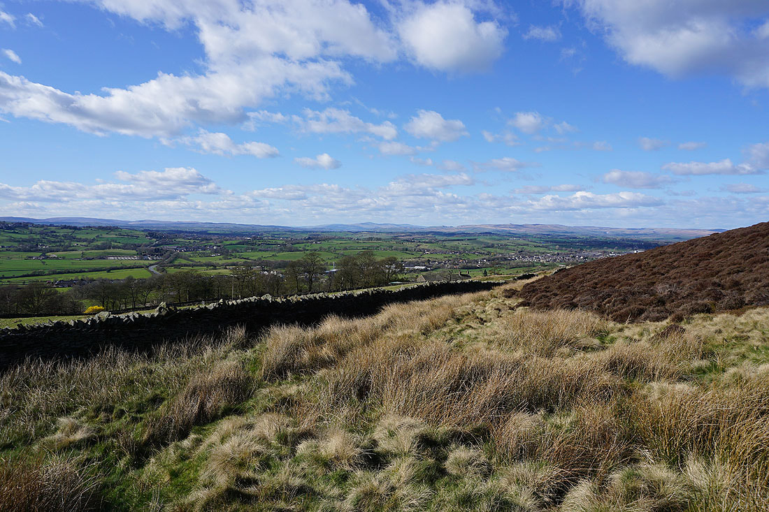
Pendle Hill to the west from Kelbrook Moor
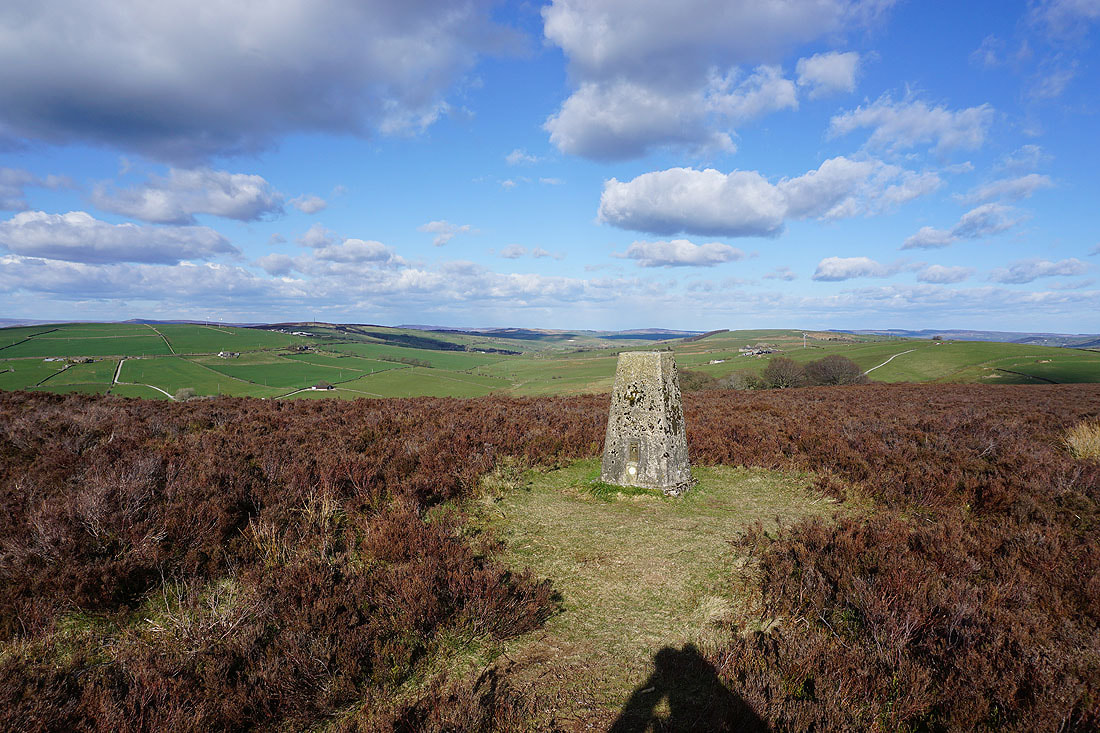
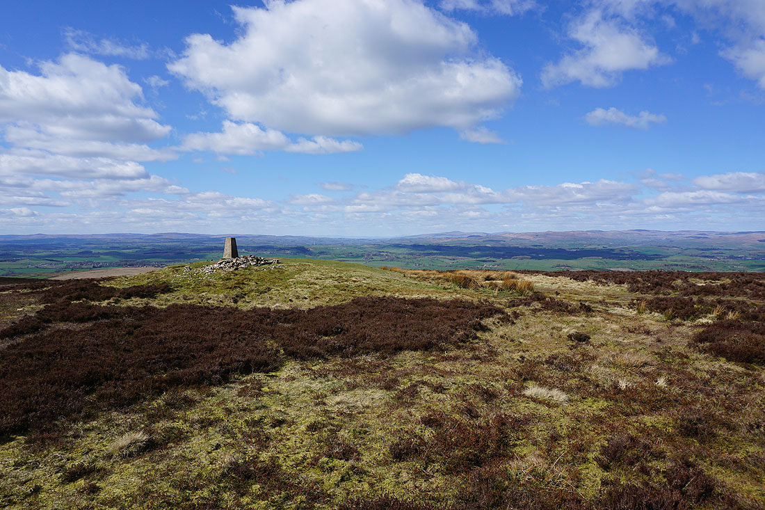
At the trig point on Kelbrook Moor with the moors around Lothersdale to the east
Looking southeast across Piked Edge to Ickornshaw Moor
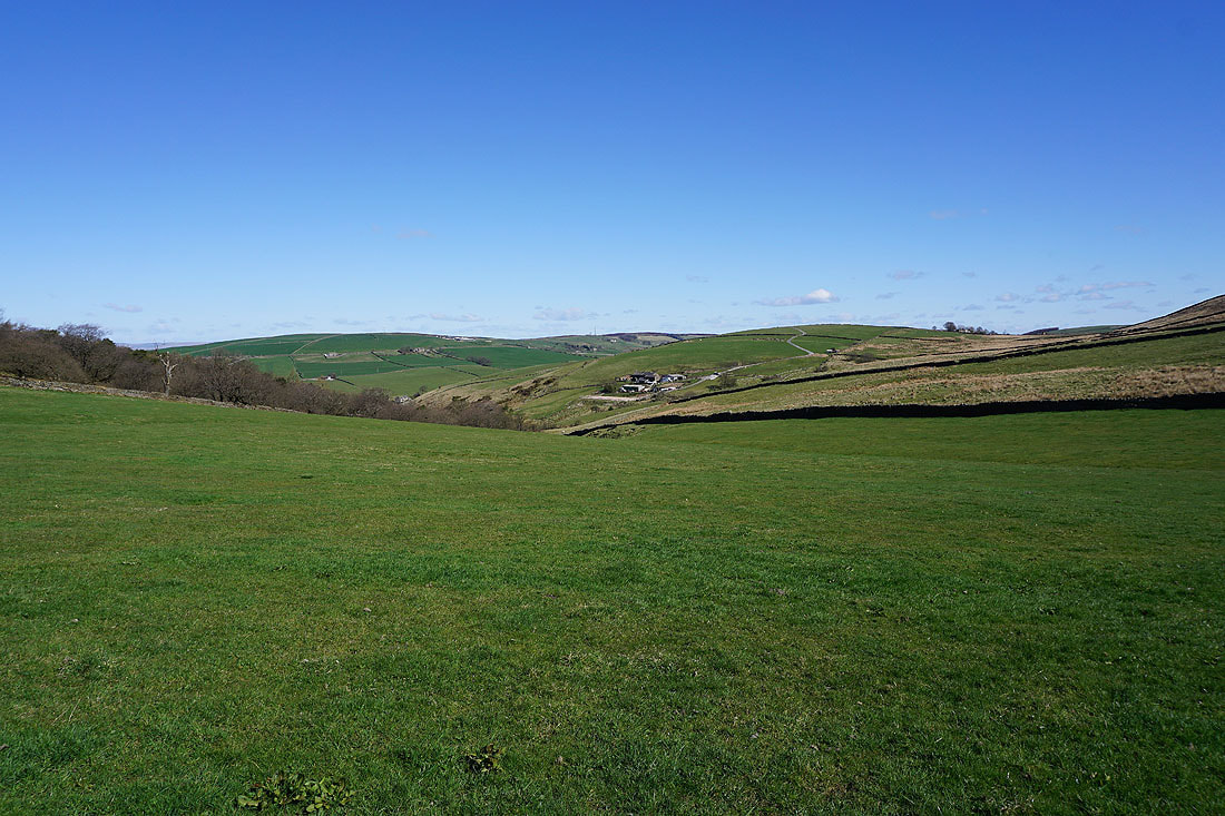
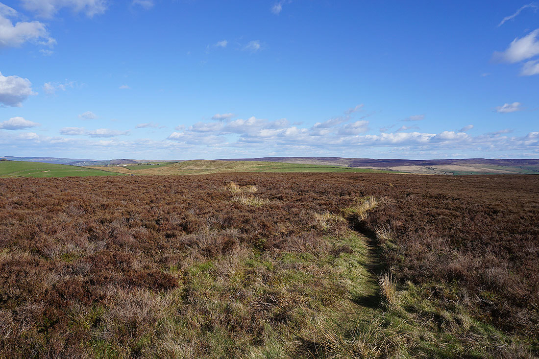
Heading from Kelbrook Moor to Great Edge
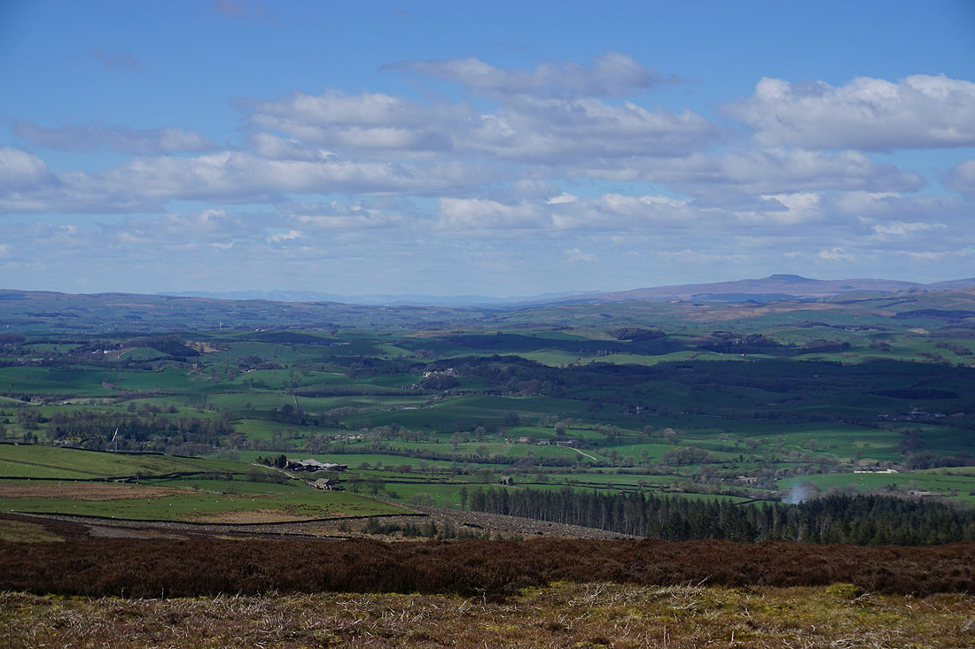
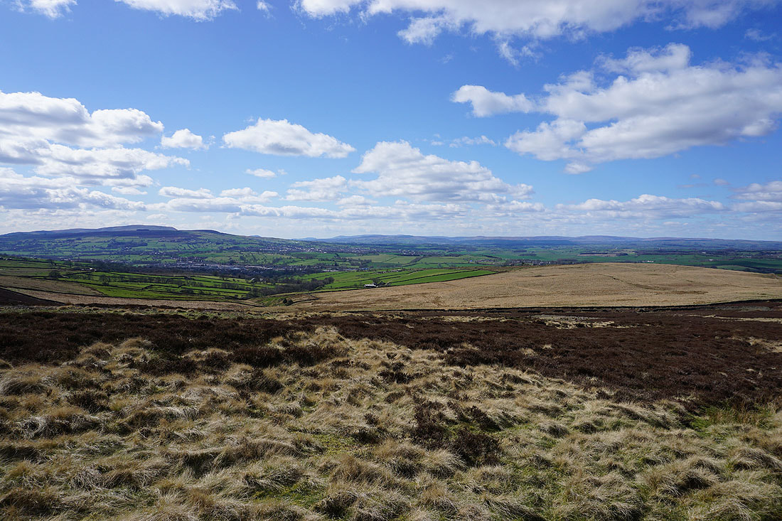
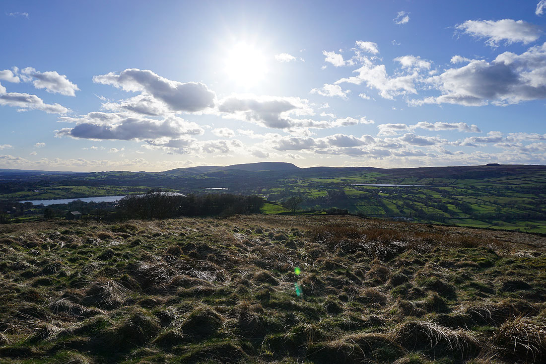
Foulridge Lower Reservoir, Pendle Hill, and White Moor from Great Edge
Boulsworth Hill and the Forest of Trawden
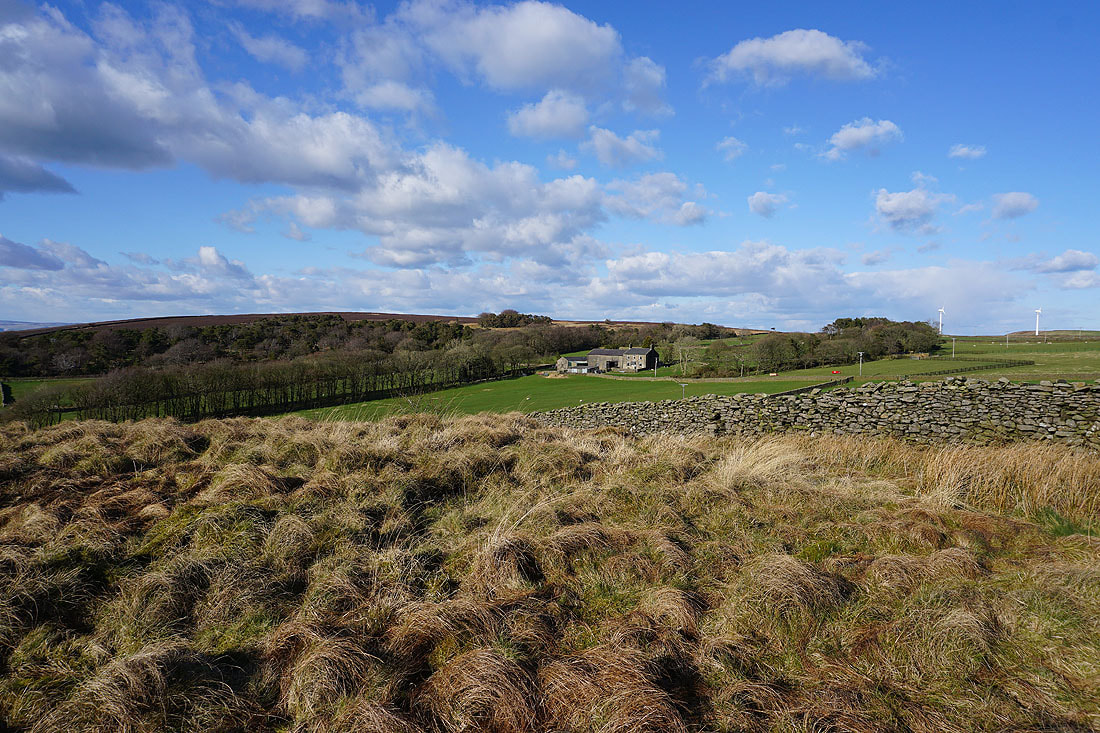
Kelbrook Moor and Great Edge Farm
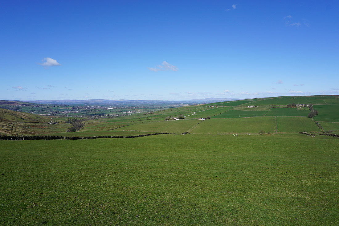
A fantastic view to the northwest towards the Forest of Bowland, Ingleborough, and the moors above Settle
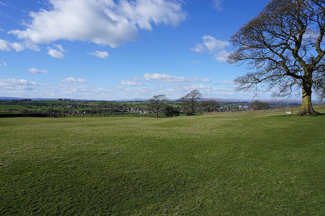
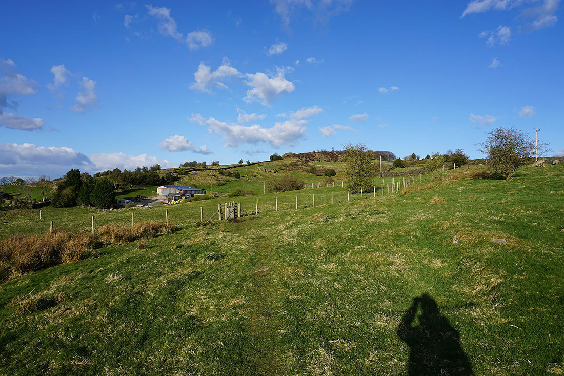
Boulsworth Hill to the south as I climb Noyna Hill from Noyna End Farm
What a great view to finish a walk with. Looking north to the Yorkshire Dales from Noyna Hill. Ingleborough is on the left, Great Whernside on the right, with the moors above Settle and Malham between them.
Foulridge Lower Reservoir, Slipper Hill Reservoir, Pendle Hill and Whitemoor Reservoir from Noyna Hill
Heading down to Foulridge and home
A last look back to blue skies above Noyna Hill