5th August 2017 - Middleton Fell
Walk Details
Distance walked: 8.8 miles
Total ascent: 2201 ft
OS map used: OL2 - Yorkshire Dales, Southern & Western areas
Time taken: 6 hrs
Route description: Barbon-Eskholme-Millhouse Gill-Calf Top-Castle Knott-Eskholme Pike-Eskholme-Barbon
This was just the sort of walk that I needed today. Wide open spaces, long distance views and solitude. All are pretty much guaranteed on Middleton Fell, assuming you pick the right sort of day. It's obviously become one of favourite places to be as this is now the fourth year in a row that I've been to its top. After a rather cloudy start and a morning shower the weather improved after midday so that during the afternoon I was treated to sunny spells, a brisk breeze and with good visibility the long distance views that I enjoy so much. On this occasion I didn't have the place to myself as I passed a few people on the summit ridge from Calf Top to Castle Knott.
After parking in the centre of Barbon I walked through the village and turned left at St. Bartholomew's church to take the bridleway across Barbon Beck and then the footpath to Eskholme. Here I went uphill to a gate in the intake wall and onto access land. I then made my way north, more or less following the intake wall using sheep trods until I reached Millhouse Gill. I then crossed the gill and made my way up the ridge using a quadbike track to finally reach the summit, Calf Top. My route back was over Castle Knott with a there and back to the end of its western ridge, down to Eskholme Pike and back into Barbon.
Route map
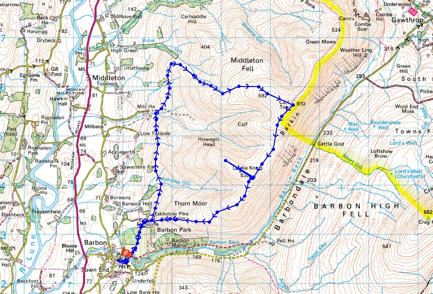
© Crown copyright. All rights reserved. License number PU 100034184.
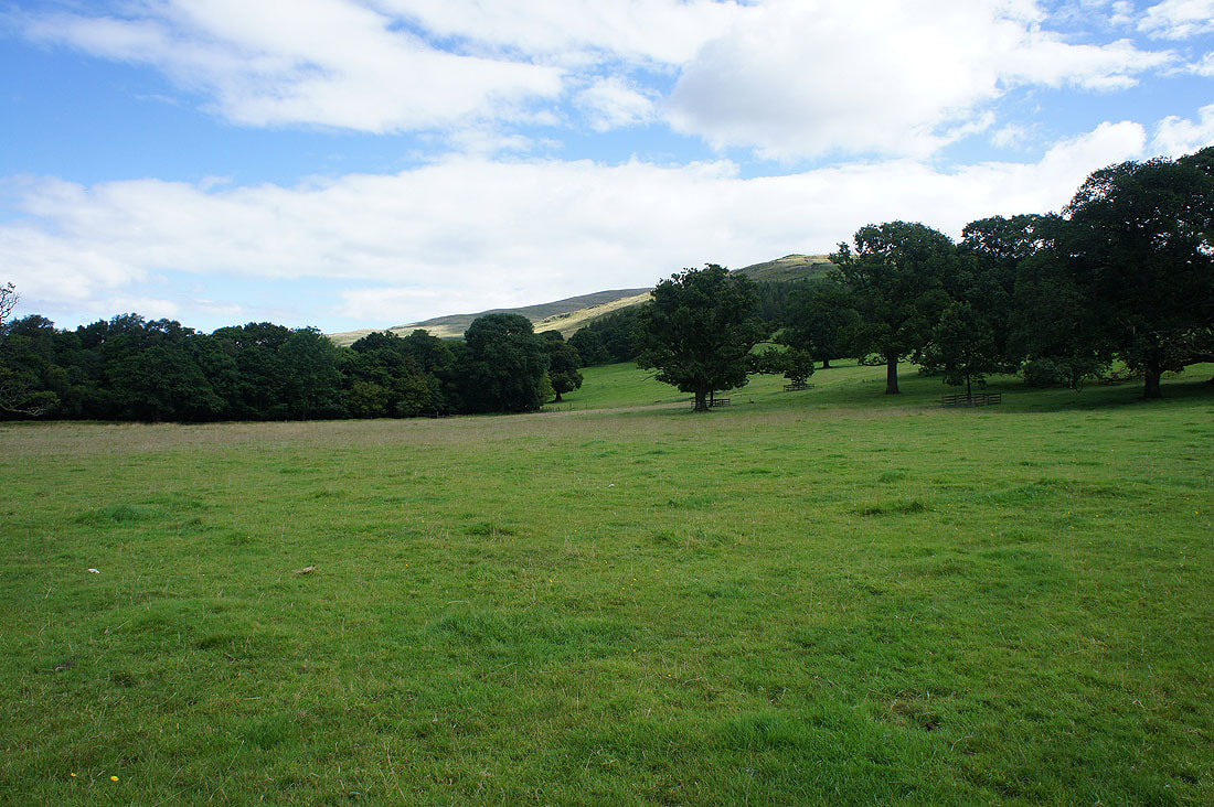
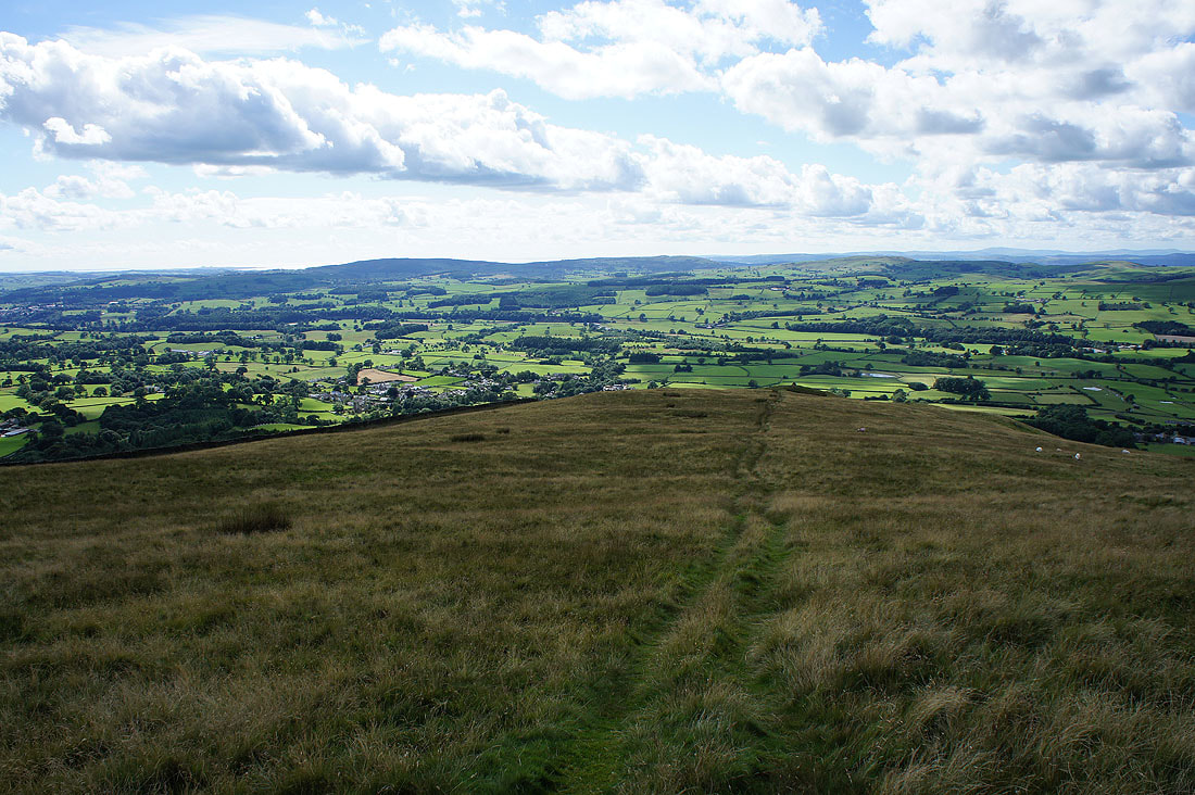
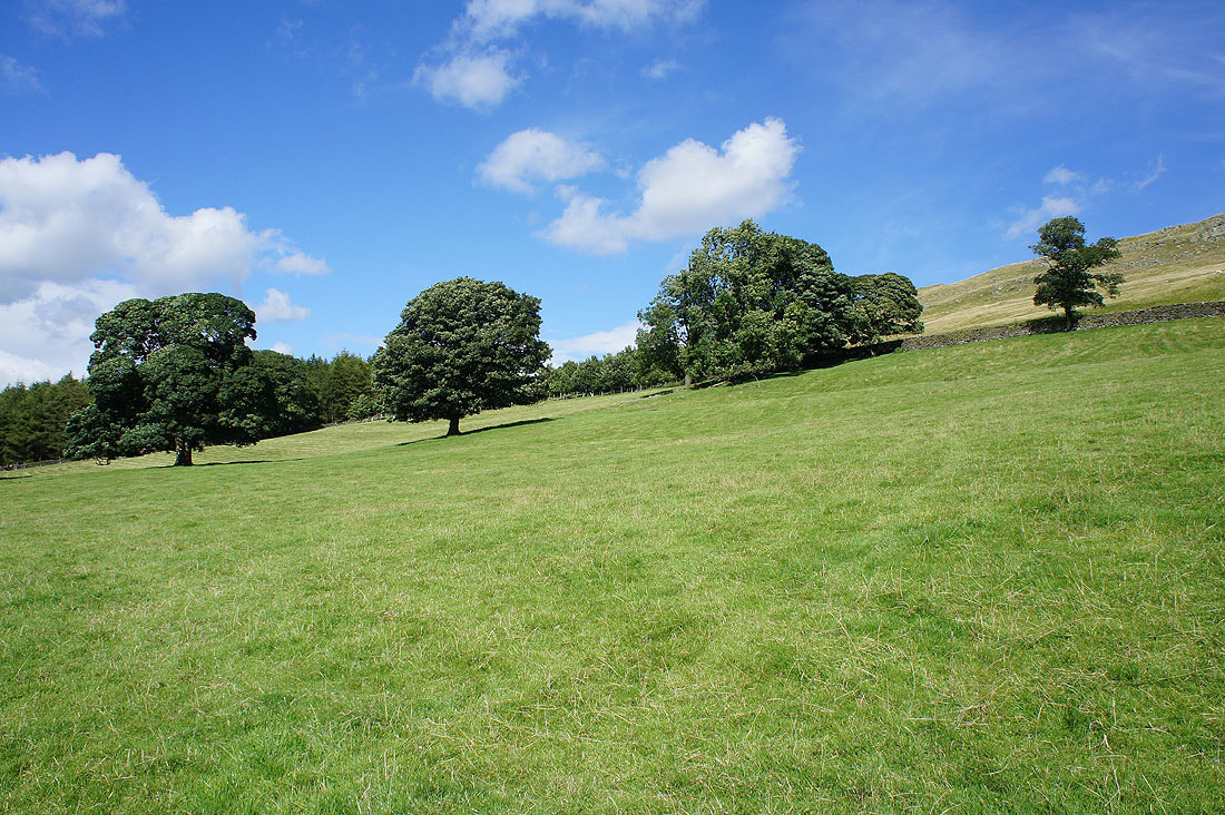
On the path through Barbon Park to Eskholme. That's Eskholme Pike up on the right, which will be my route down.
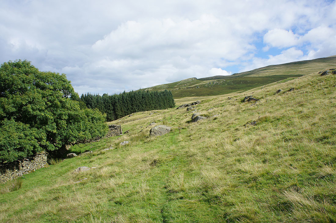
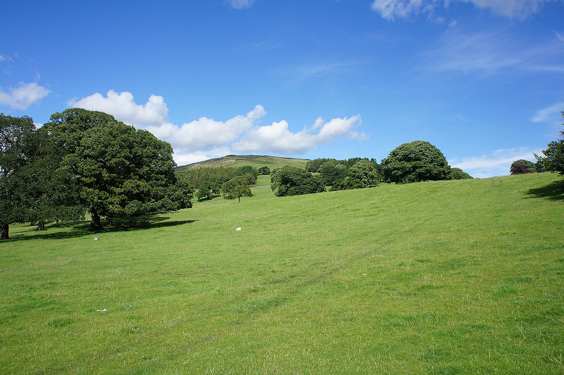
Onto access land and I'll be more or less following the intake wall north to Millhouse Gill
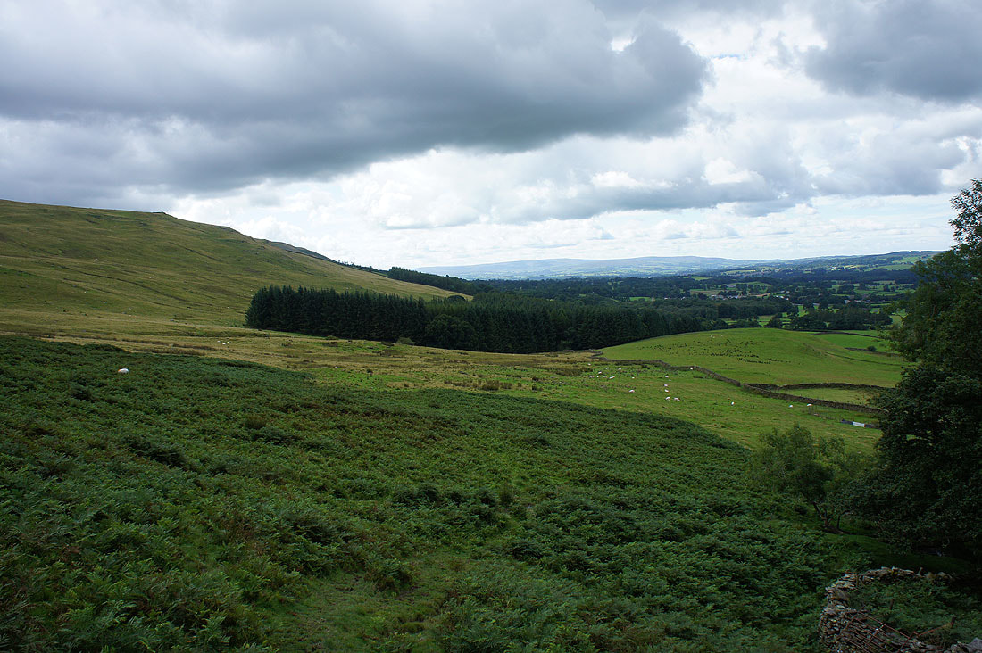
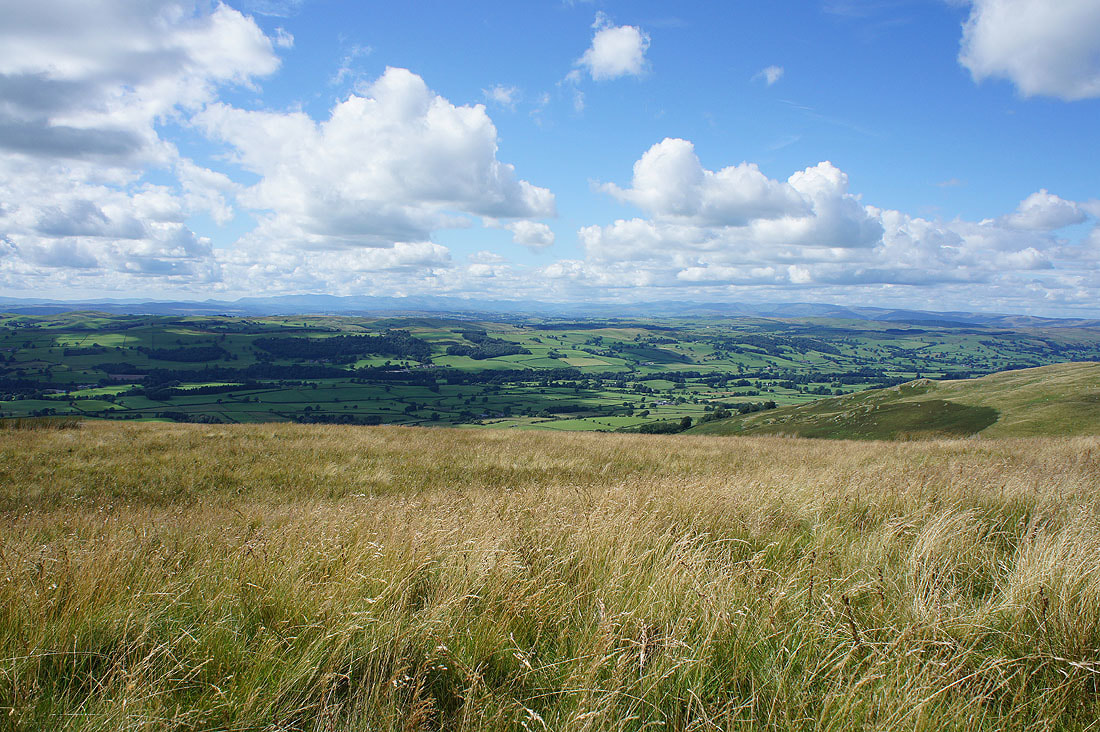
Looking down Lunesdale..
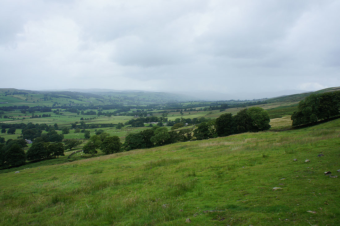
..and up Lunesdale while the only shower of the day passed through. Fortunately I was able to shelter under a tree while it did.
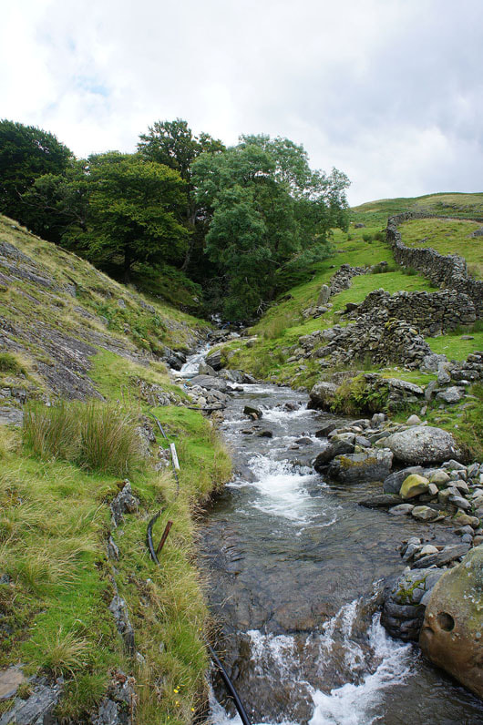
Finally across Millhouse Gill and I ended up having to take my boots off to do it. There just wasn't any point that was narrow enough and shallow enough to do otherwise.
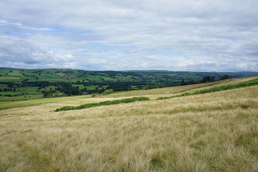
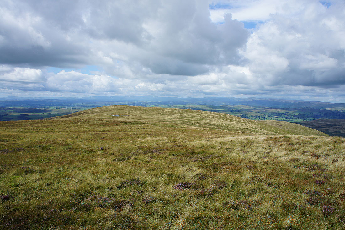
Lunesdale as the weather starts to improve
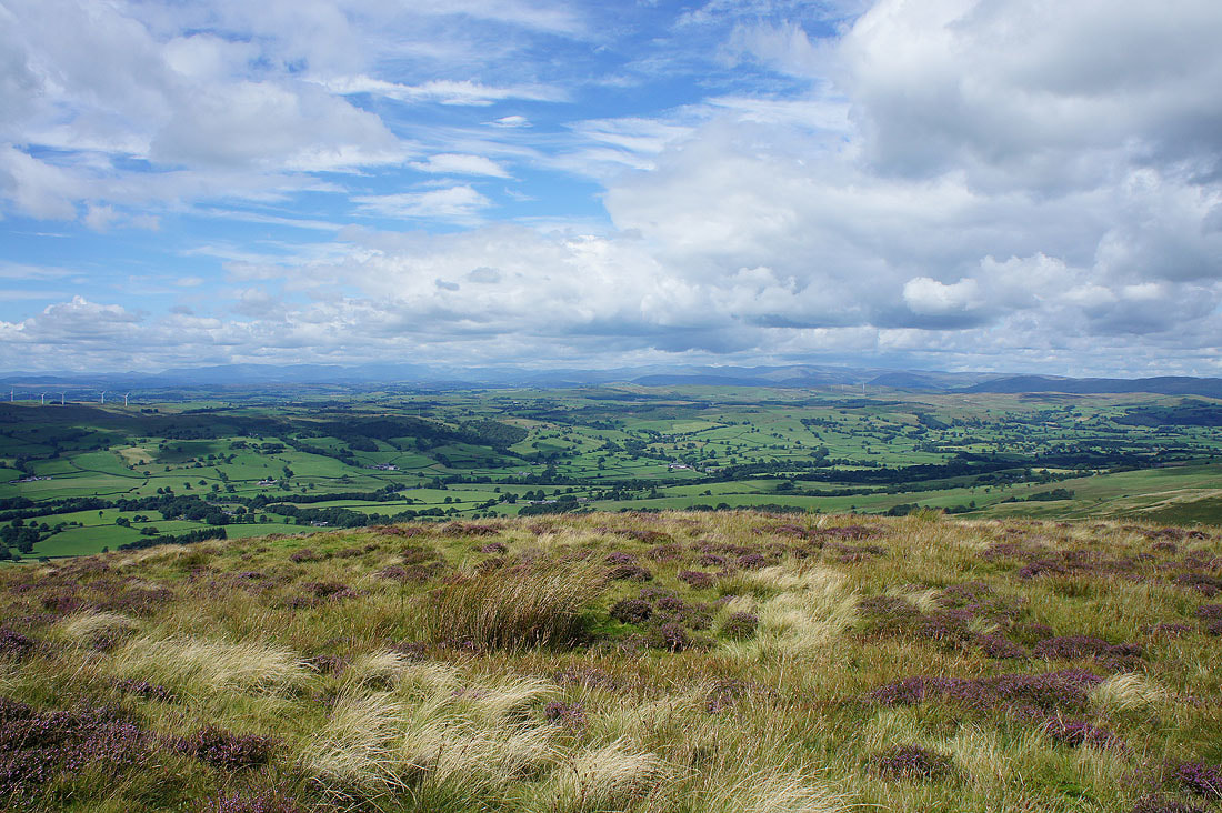
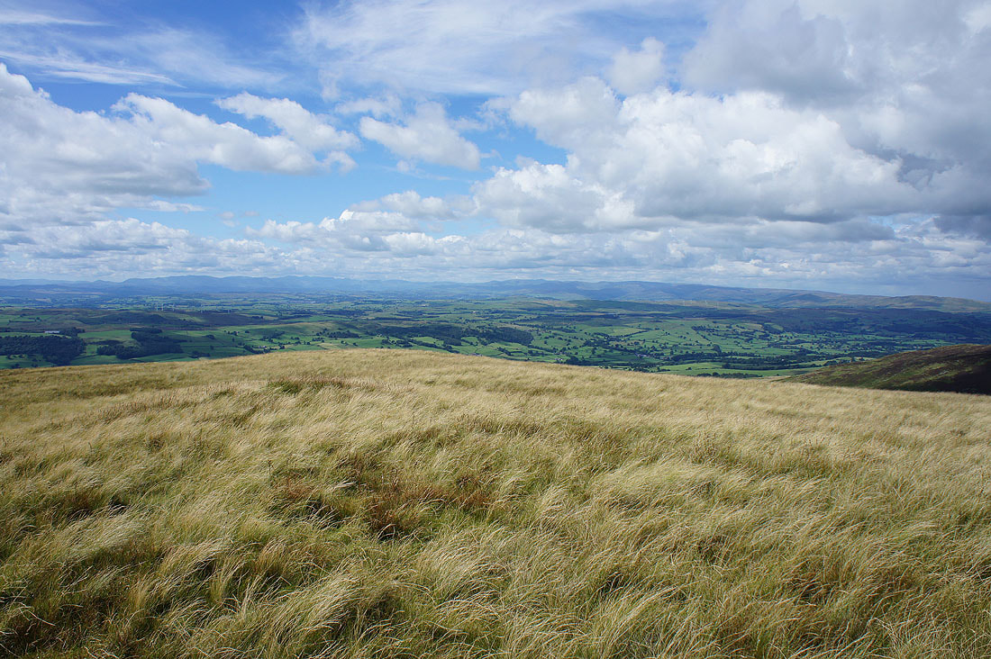
Part way up Middleton Fell and a cairn provides a convenient place to pause, have lunch, and take in the increasingly expansive view, which includes the distant Lake District fells
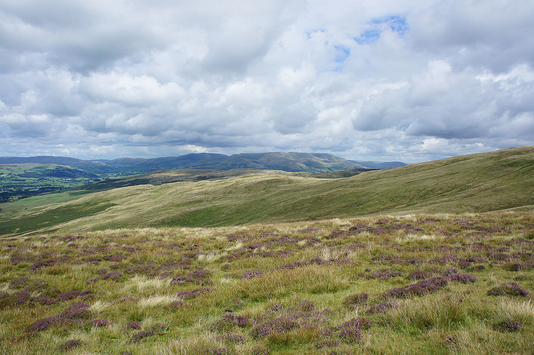
and the Howgills
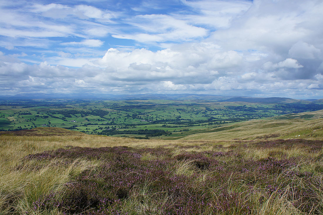
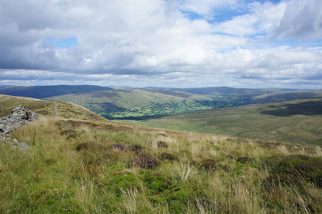
Looking down Lunesdale to the Forest of Bowland
Some flowering heather makes a nice foreground for another photo across to the Lake District fells
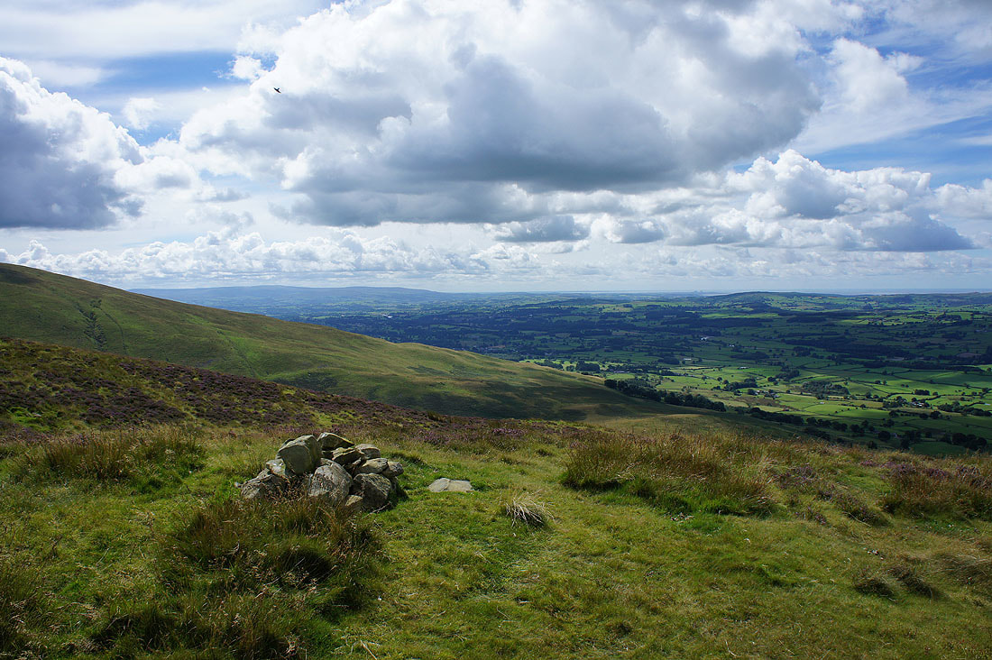
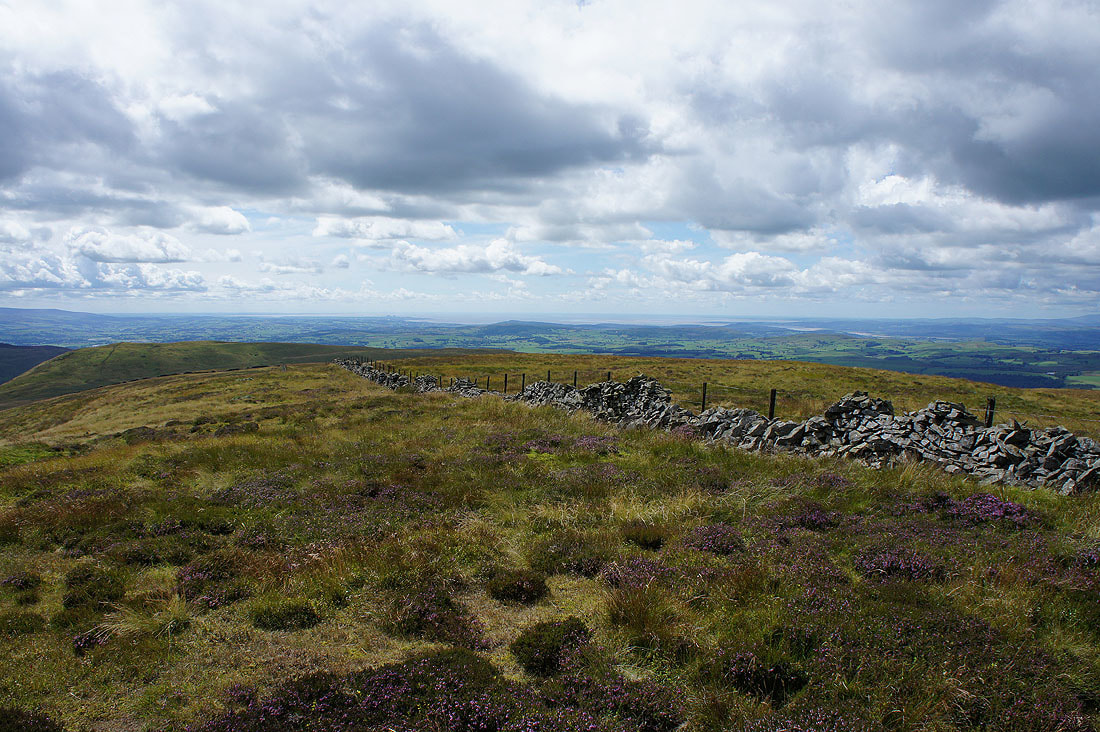
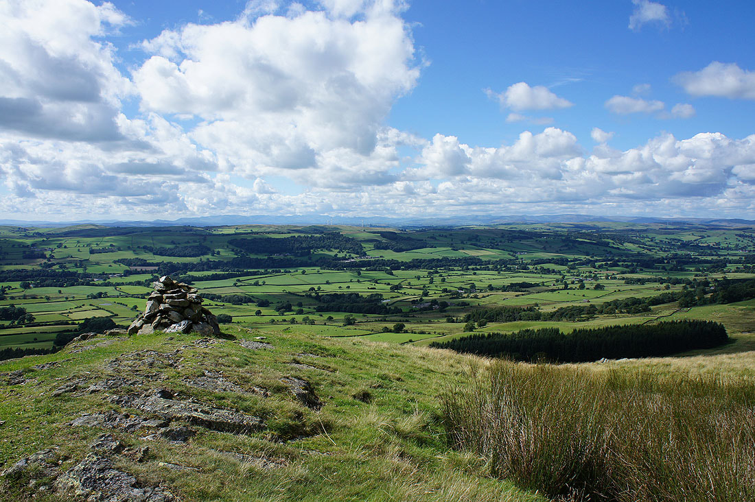
When this well built cairn is reached the summit isn't far to go, and there's still that great view to enjoy
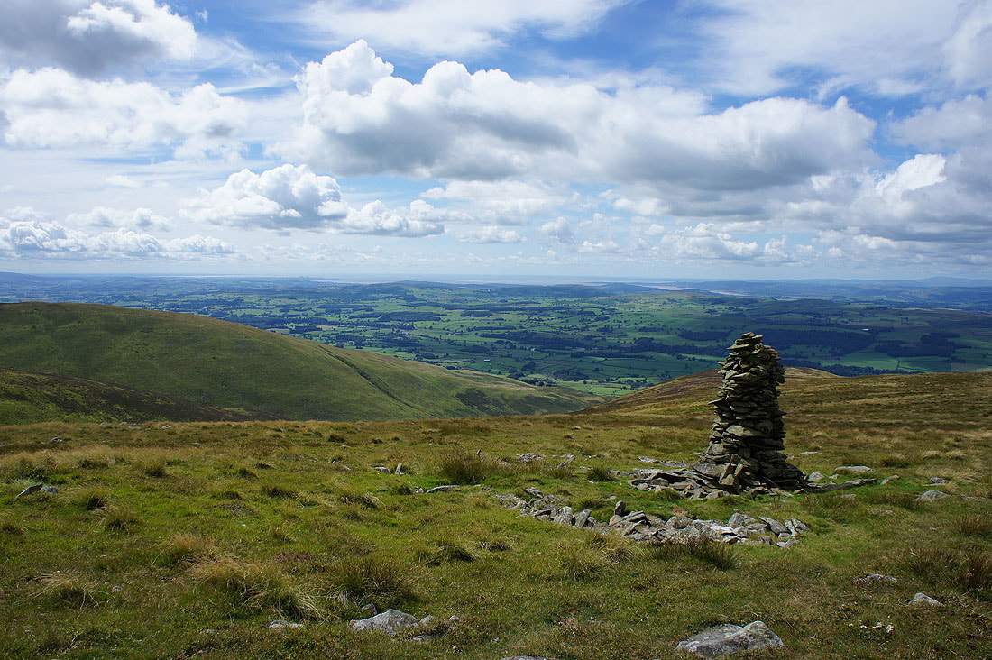
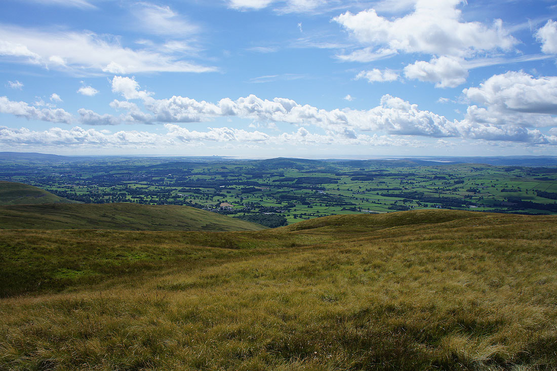
Looking out to Morecambe Bay
The Howgills
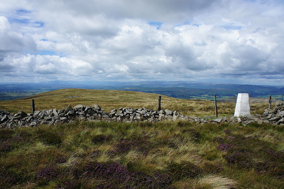
The trig point and summit is just ahead
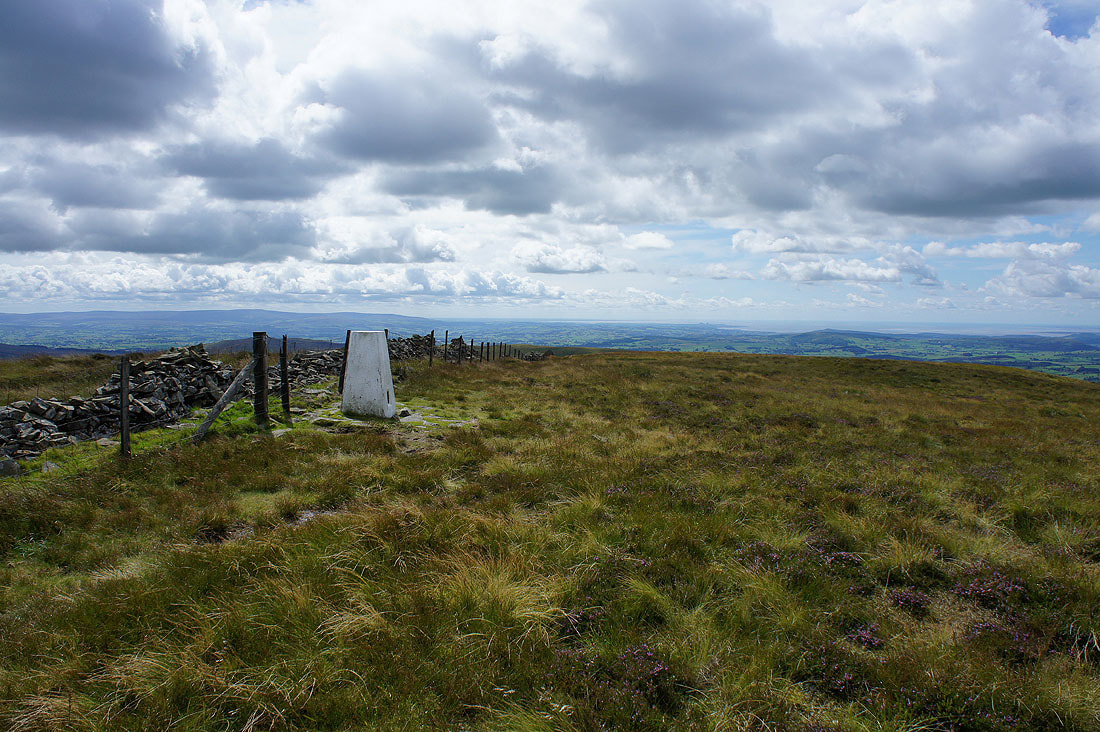
At the trig point on Calf Top, the summit of Middleton Fell
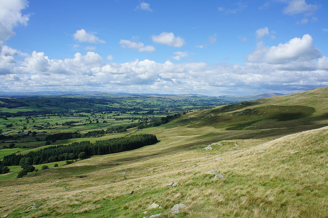
Looking northwest to the Lake District fells and the broad ridge that was my route of ascent
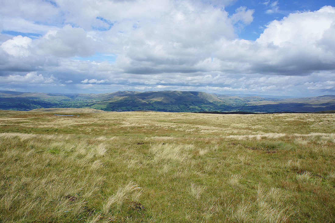
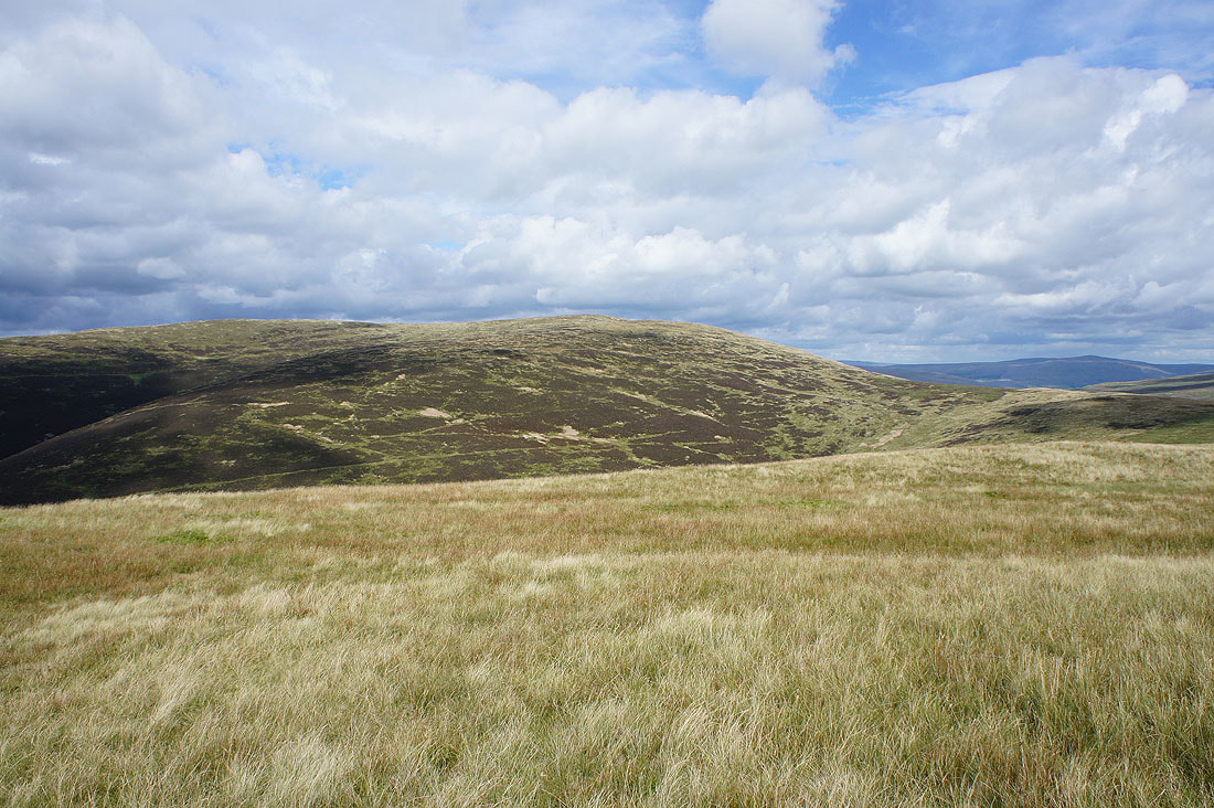
Wild Boar Fell, Baugh Fell and Aye Gill Pike to the northeast
Morecambe Bay
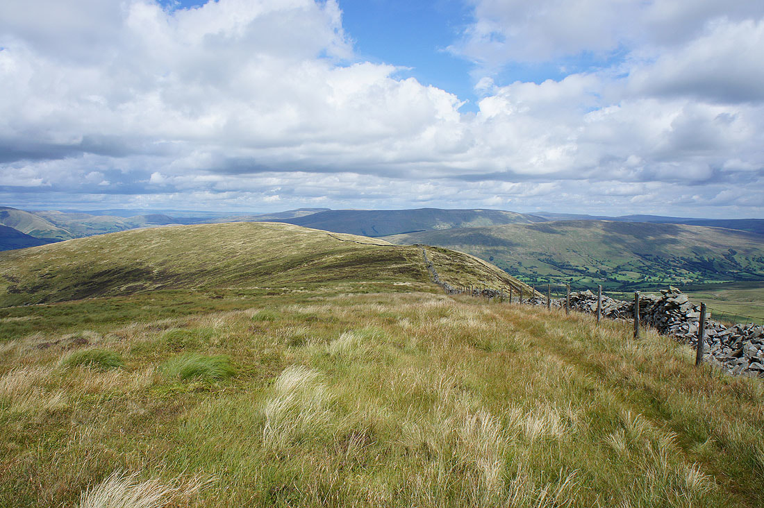
On the other side of the summit wall, both sides of which are now inside the Yorkshire Dales National Park after it was expanded last August
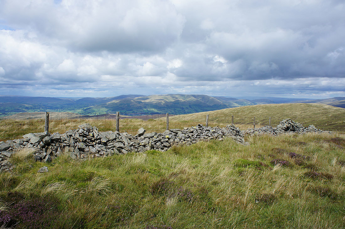
The Howgills
Baugh Fell, Aye Gill Pike, Dentdale and Great Knoutberry Hill
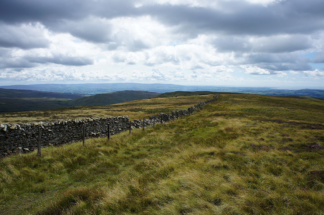
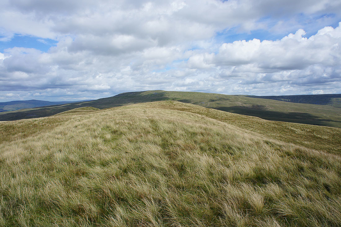
Leaving Calf Top and bound for Castle Knott
Morecambe Bay from the end of Castle Knott's western ridge
and the Lake District fells
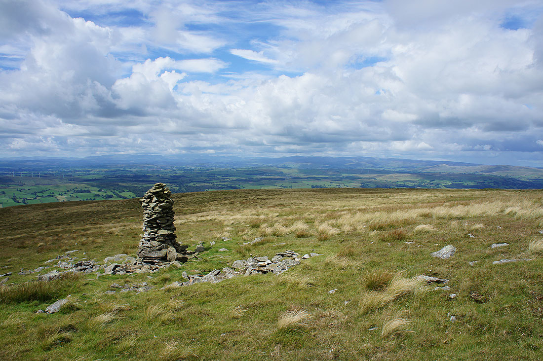
Calf Top
Heading back to Castle Knott's summit cairn
On the way to Eskholme Pike and I couldn't resist sitting down in the grass to take another photo of the view across to the Lake District
Barbon below in a sunlit valley
The Lake District fells and Lunesdale from Eskholme Pike..
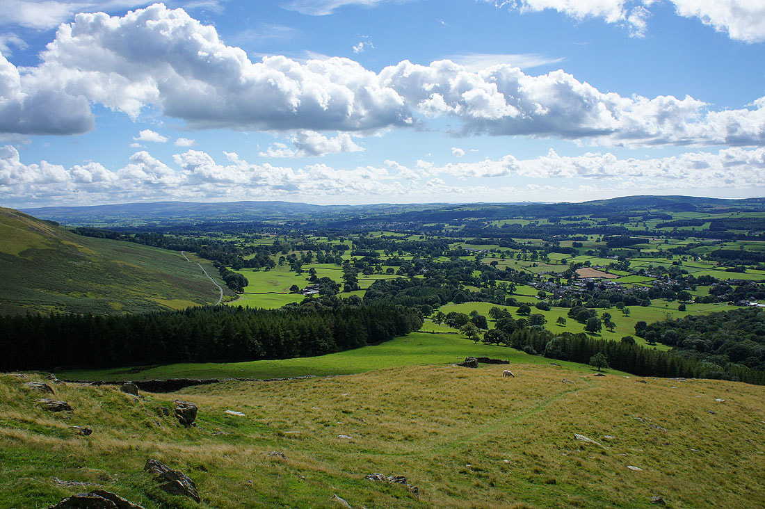
Lunesdale and Barbon
Summer skies as I walk back through Barbon Park..
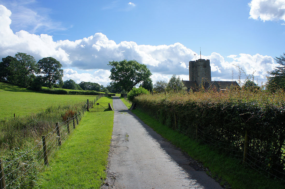
On the bridleway back to Barbon..
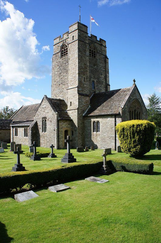
..and St. Bartholomew's church