5th December 2021 - Ingleborough
Walk Details
Distance walked: 9.3 miles
Total ascent: 2127 ft
OS map used: OL2 - Yorkshire Dales, Southern & Western areas
Time taken: 5 hrs
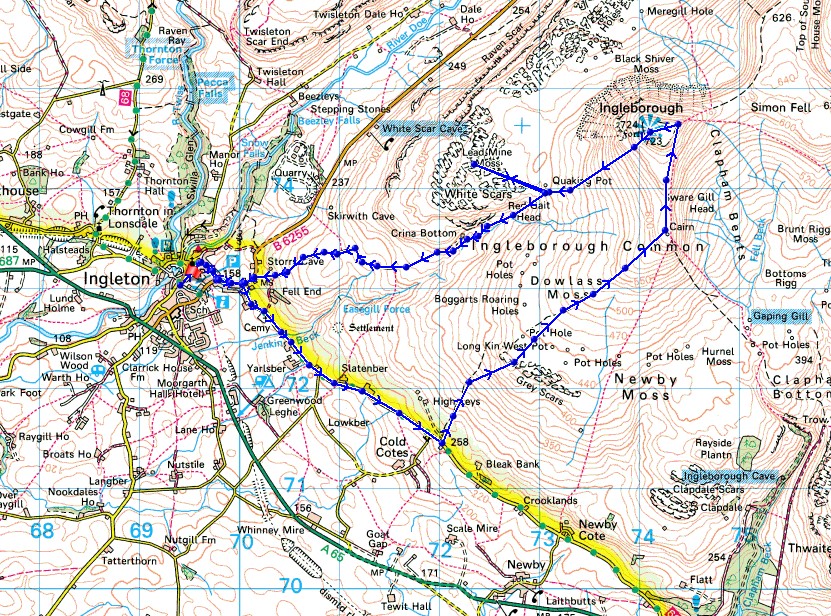
Route description: Ingleton-B6255-Clapham Old Road-Grey Scars-Ingleborough Common-Little Ingleborough-Ingleborough-White Scars-Crina Bottom-Fell Lane-B6255-Ingleton
I was hoping that the snow of last weekend would survive to this one, and it did, but only on the high fells, so I decided to climb Ingleborough from Ingleton. To make the walk longer, and a bit different from what I've done before, I tried a new route of ascent. After leaving Ingleton I walked along Clapham Old Road and then took a path up access land to Grey Scars and then up Ingleborough Common to Little Ingleborough. It wasn't too bad and it's a way up that I'll use again. Going that longer way up also gave the weather a chance to improve. It was forecast to be a windy day with a strong northerly blowing, but with it easing a little during the afternoon, and a mixture of cloud and some sunny intervals. Climbing into the wind in the morning was tiring work. Unfortunately the cloud that was covering the top of Ingleborough when I left Ingleton never properly cleared and I didn't get any views to speak of from the summit. It was only on the summit of Ingleborough and the uppermost slopes of the fell that the snow was firm, elsewhere it was soft, so I can't imagine it lasting much longer.
From where I parked in Ingleton I walked through the village and onto the B6255 road to Ribblehead and Hawes. I left this for Clapham Old Road on the right, which I walked east along until I reached the junction for Cold Cotes. Just past the junction I left the road up a track on the left to reach a gate to get onto access land. I then made my way up the hillside on a fairly clear path to Grey Scars, then up to a sheepfold that's on the map, and then up Ingleborough Common to the plateau between Ingleborough and Little Ingleborough, from where I made my way to the top of Little Ingleborough. Once I'd taken in the view I made my way across to Ingleborough, where I stopped for lunch at the cross shelter. After a walk around the summit plateau hoping that the cloud would clear so that I could get a view, I took the bridleway that heads down to Ingleton, leaving it before it reaches Crina Bottom to head out onto the limestone pavement of White Scars to take in the great view of Ingleborough from there. I then returned to the bridleway, followed it past Crina Bottom and down the track of Fell Lane to the B6255, and a walk along this road took me back to Ingleton.
Total ascent: 2127 ft
OS map used: OL2 - Yorkshire Dales, Southern & Western areas
Time taken: 5 hrs
Route description: Ingleton-B6255-Clapham Old Road-Grey Scars-Ingleborough Common-Little Ingleborough-Ingleborough-White Scars-Crina Bottom-Fell Lane-B6255-Ingleton
I was hoping that the snow of last weekend would survive to this one, and it did, but only on the high fells, so I decided to climb Ingleborough from Ingleton. To make the walk longer, and a bit different from what I've done before, I tried a new route of ascent. After leaving Ingleton I walked along Clapham Old Road and then took a path up access land to Grey Scars and then up Ingleborough Common to Little Ingleborough. It wasn't too bad and it's a way up that I'll use again. Going that longer way up also gave the weather a chance to improve. It was forecast to be a windy day with a strong northerly blowing, but with it easing a little during the afternoon, and a mixture of cloud and some sunny intervals. Climbing into the wind in the morning was tiring work. Unfortunately the cloud that was covering the top of Ingleborough when I left Ingleton never properly cleared and I didn't get any views to speak of from the summit. It was only on the summit of Ingleborough and the uppermost slopes of the fell that the snow was firm, elsewhere it was soft, so I can't imagine it lasting much longer.
From where I parked in Ingleton I walked through the village and onto the B6255 road to Ribblehead and Hawes. I left this for Clapham Old Road on the right, which I walked east along until I reached the junction for Cold Cotes. Just past the junction I left the road up a track on the left to reach a gate to get onto access land. I then made my way up the hillside on a fairly clear path to Grey Scars, then up to a sheepfold that's on the map, and then up Ingleborough Common to the plateau between Ingleborough and Little Ingleborough, from where I made my way to the top of Little Ingleborough. Once I'd taken in the view I made my way across to Ingleborough, where I stopped for lunch at the cross shelter. After a walk around the summit plateau hoping that the cloud would clear so that I could get a view, I took the bridleway that heads down to Ingleton, leaving it before it reaches Crina Bottom to head out onto the limestone pavement of White Scars to take in the great view of Ingleborough from there. I then returned to the bridleway, followed it past Crina Bottom and down the track of Fell Lane to the B6255, and a walk along this road took me back to Ingleton.
Route map
© Crown copyright. All rights reserved. License number PU 100034184.
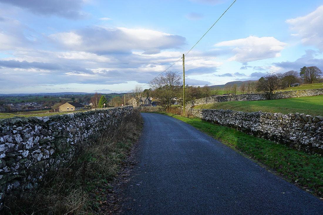
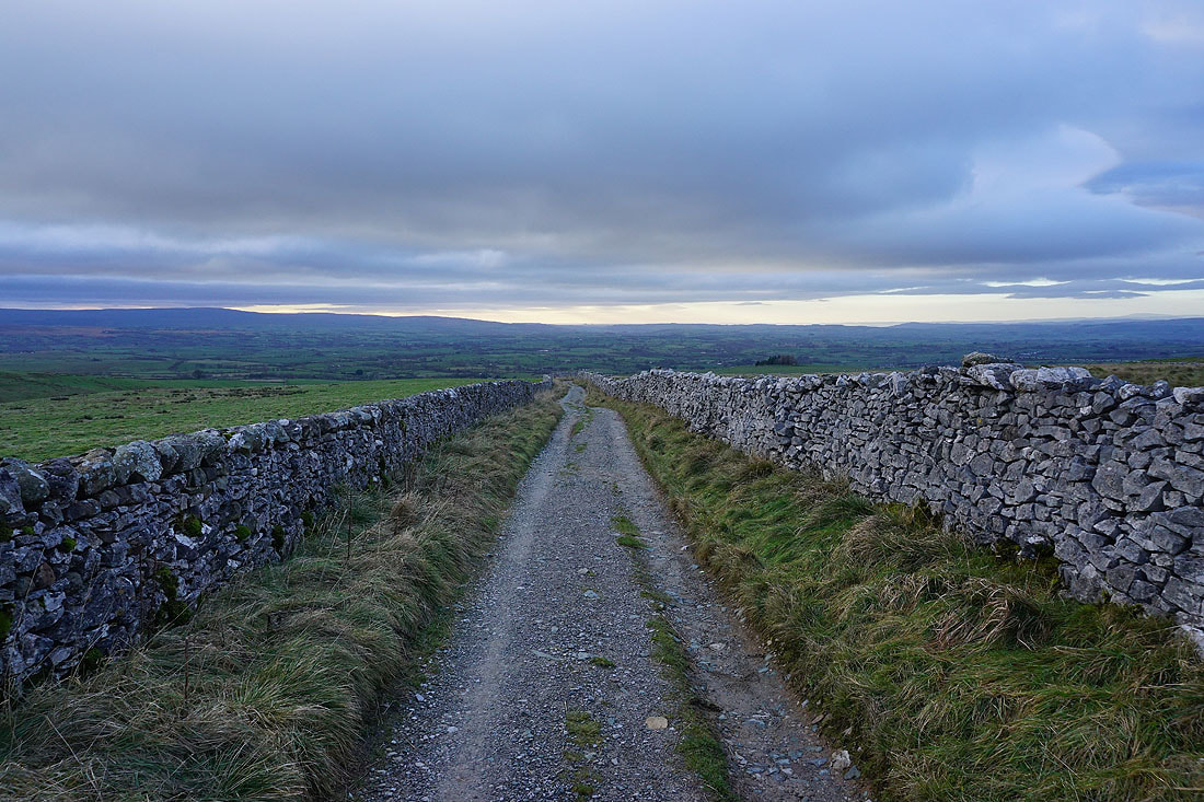
Looking back to Ingleton as I leave it behind on Old Road
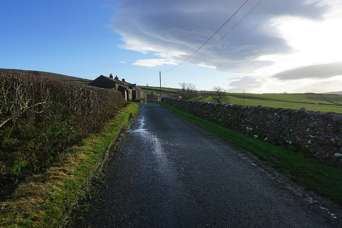
Heading east along Old Road past Slatenber
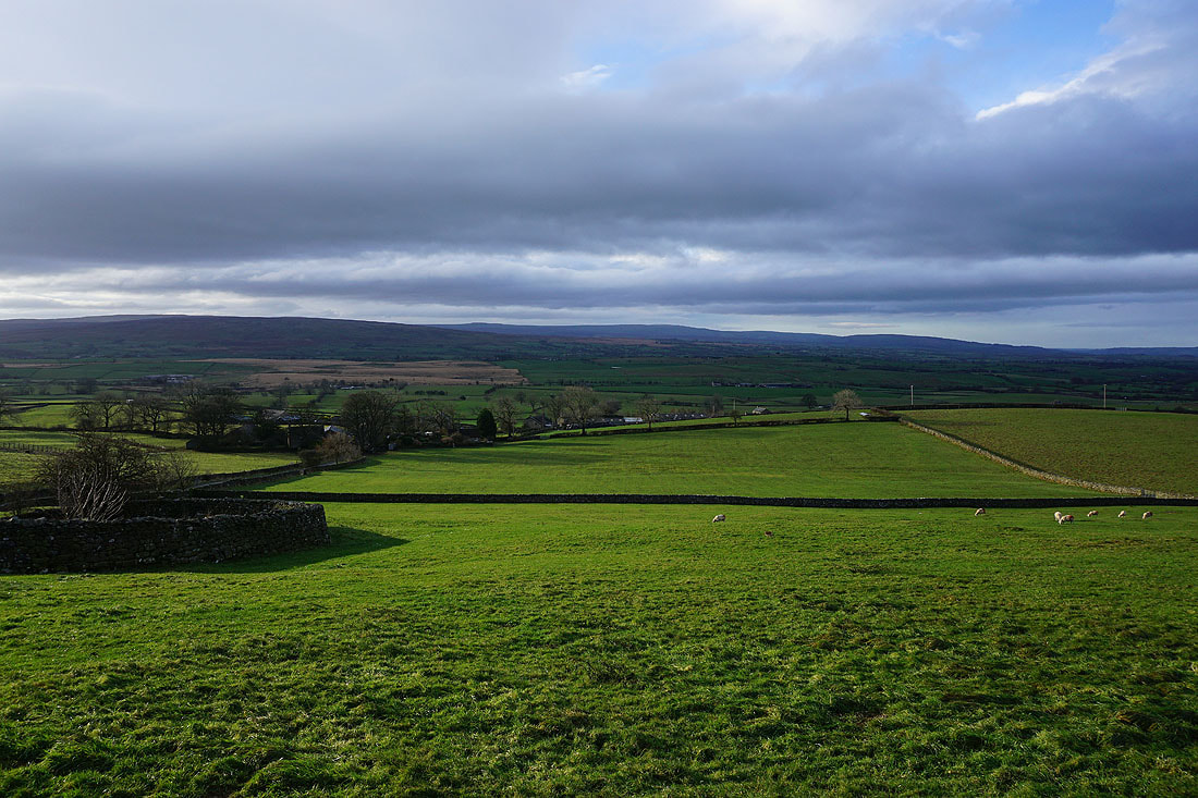
To my right, the Forest of Bowland in the distance
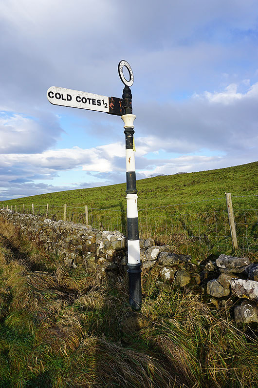
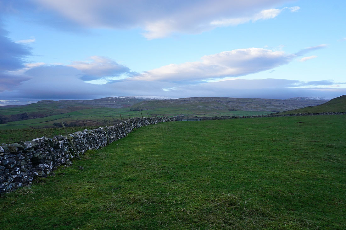
At the junction of Old Road with the turning for Cold Cotes, and this is where I leave the road for access land
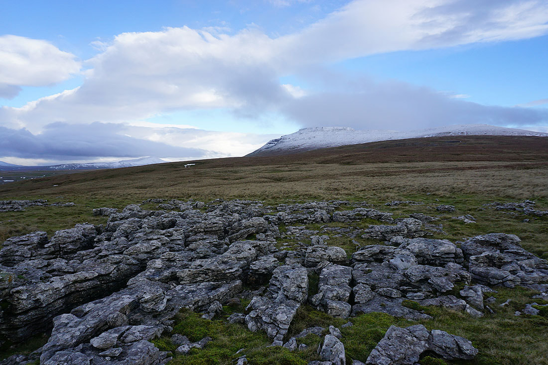
After a walk up the hillside from the road I reach the limestone pavement of Grey Scars and my first view of Ingleborough
Looking northwest to the snow covered hills of Gragareth, Great Coum and Whernside
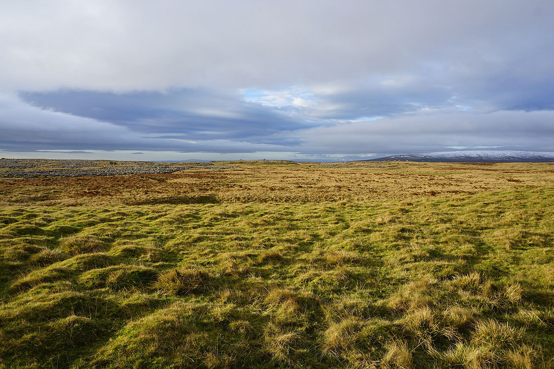
From Grey Scars there's a clear path to follow up the moorland of Ingleborough Common
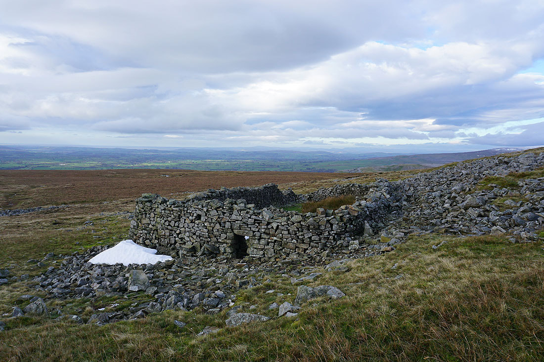
This sheepfold provides me with some shelter from the wind for taking a break. I can make out the southern fells of the Lake District from here.
White Hill, Wolfhole Crag and Ward's Stone in the Forest of Bowland in the distance
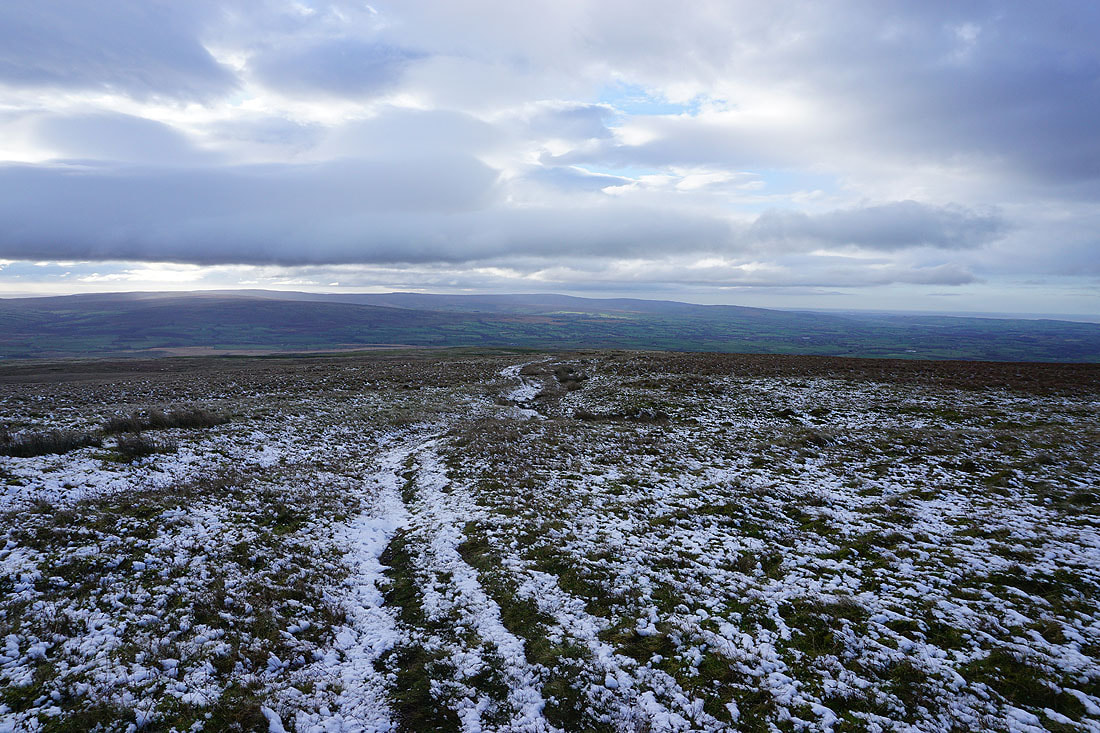
As I continue my ascent snow starts to appear on the ground. To my right I can make out Pendle Hill in the distance.
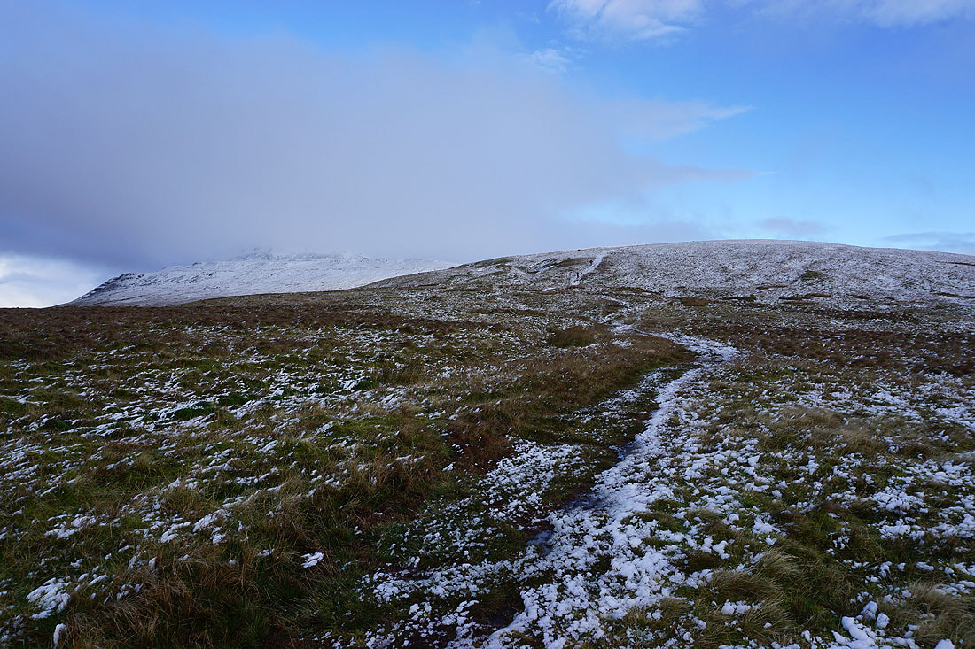
A cloud capped Ingleborough ahead
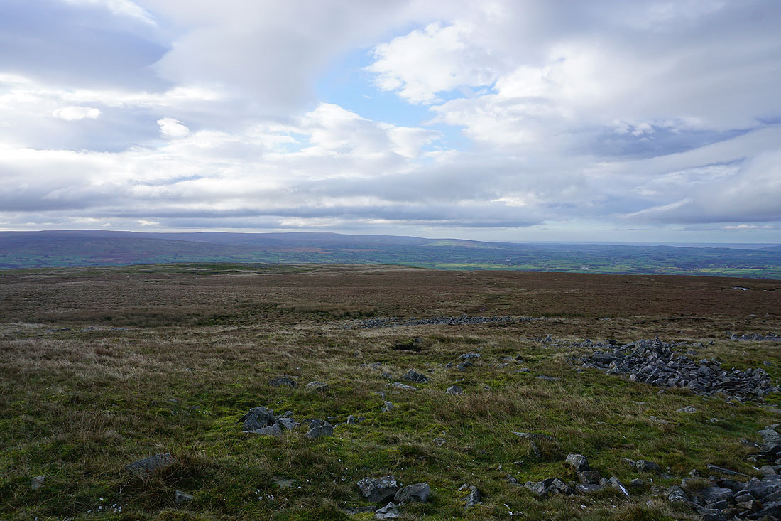
Looking back to the Forest of Bowland in the distance
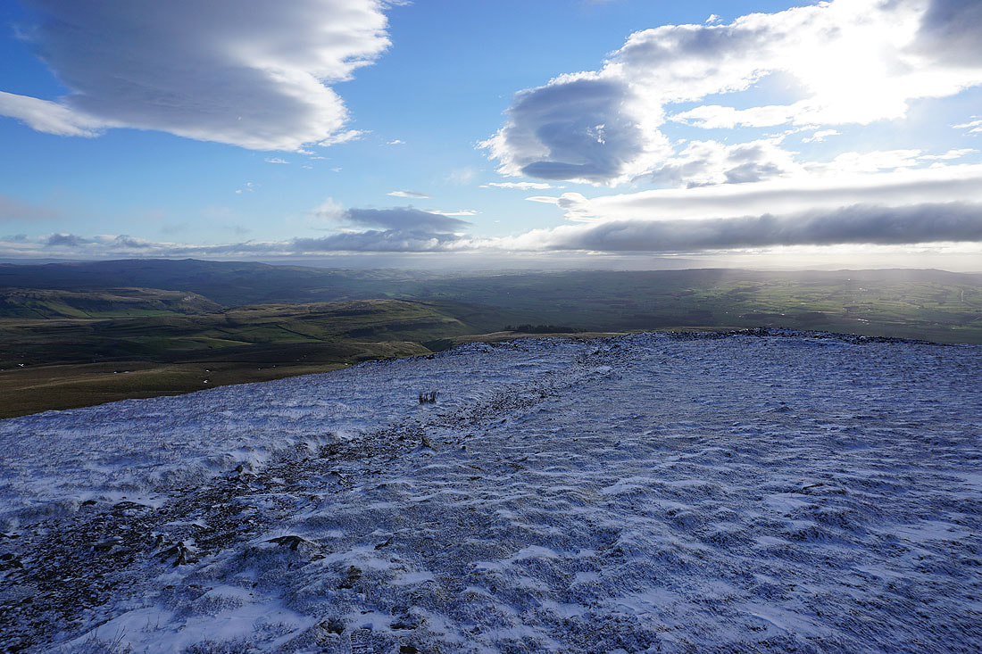
The final climb up Ingleborough Common takes me past a prominent cairn that I could see from some distance away..
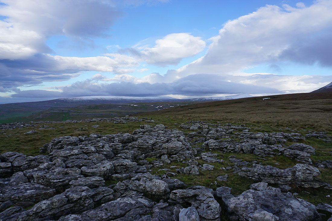
Looking back to Bowland Knotts, White Hill, Wolfhole Crag and Ward's Stone in the Forest of Bowland in the distance, from above the cairn
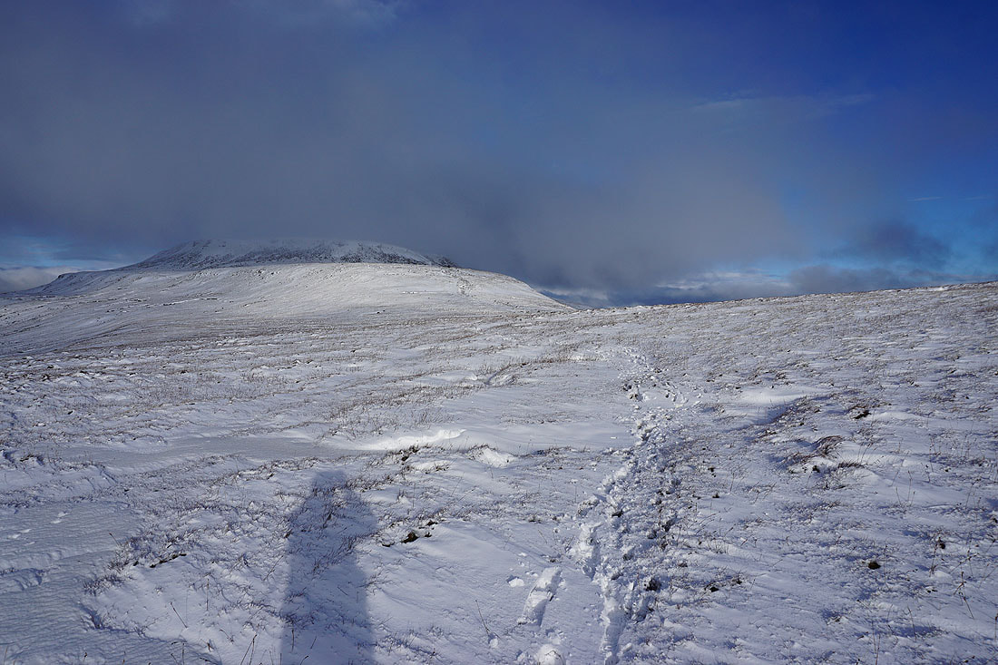
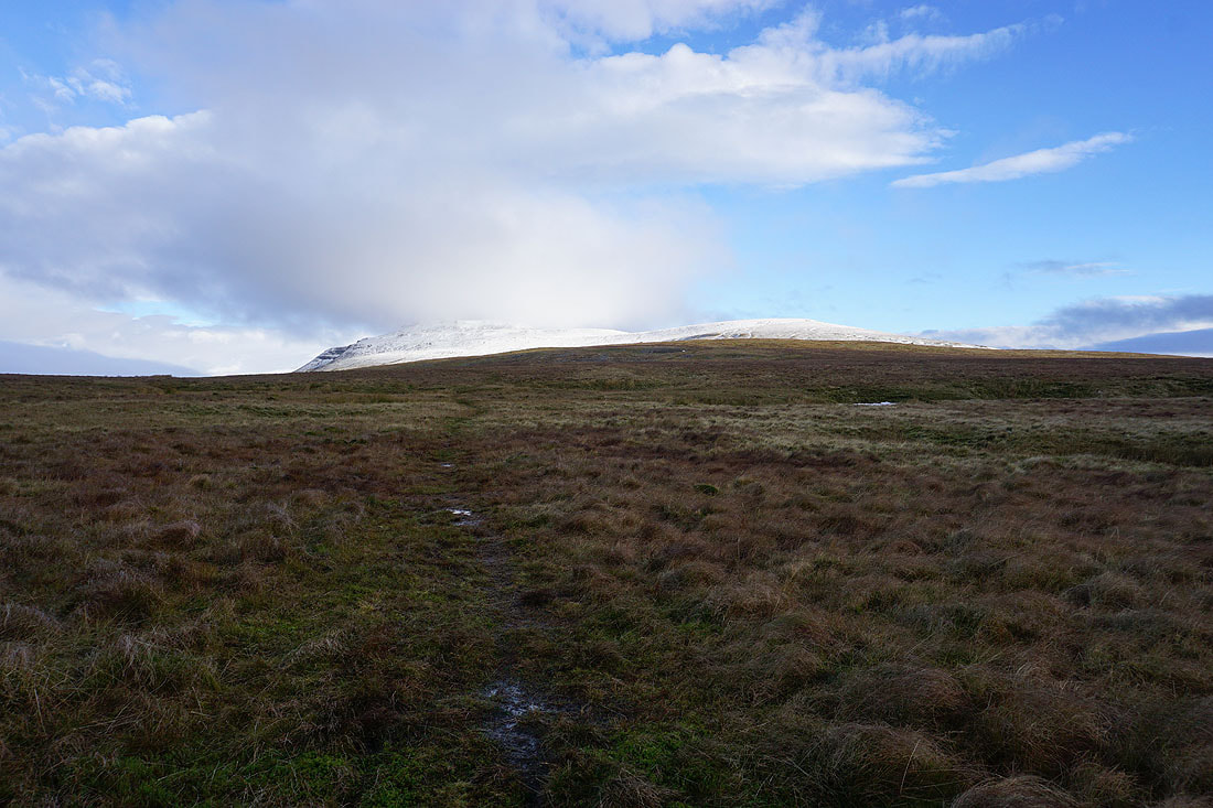
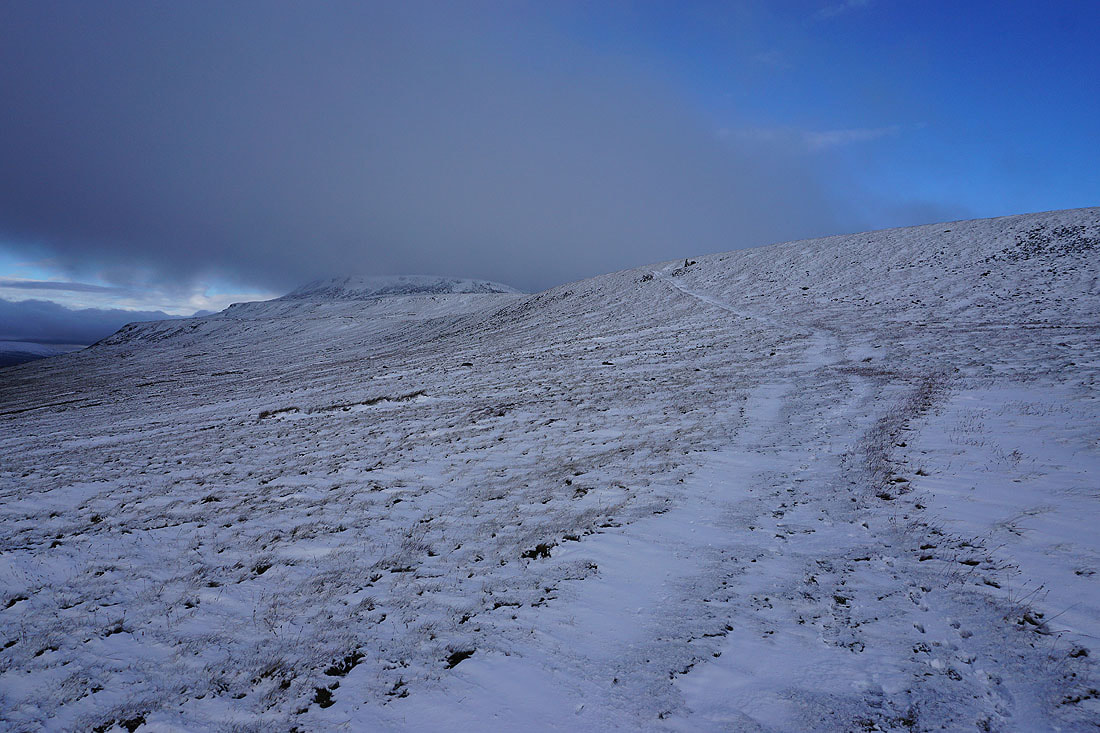
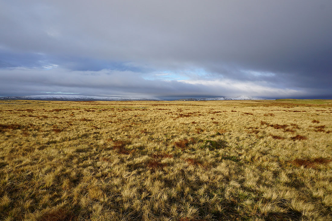
Cloud is still covering the summit of Ingleborough as I reach the plateau between it and Little Ingleborough. I'm going to head to Little Ingleborough first, maybe the cloud will lift in time for my climb to the top.
Penyghent on the other side of Ribblesdale
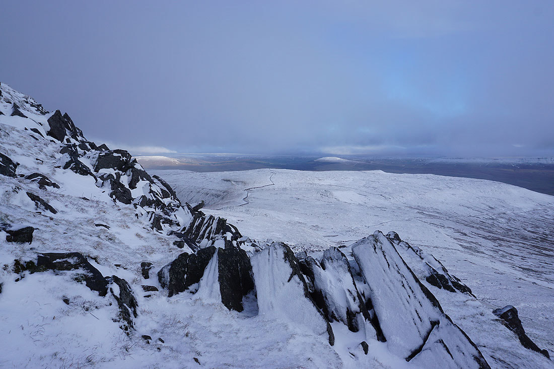
A snow covered Simon Fell
Ingleborough from the top of Little Ingleborough
Thwaite and the moors around Settle to the southeast
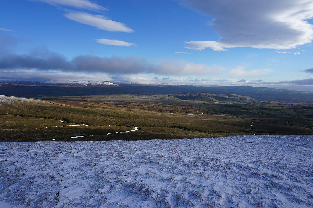
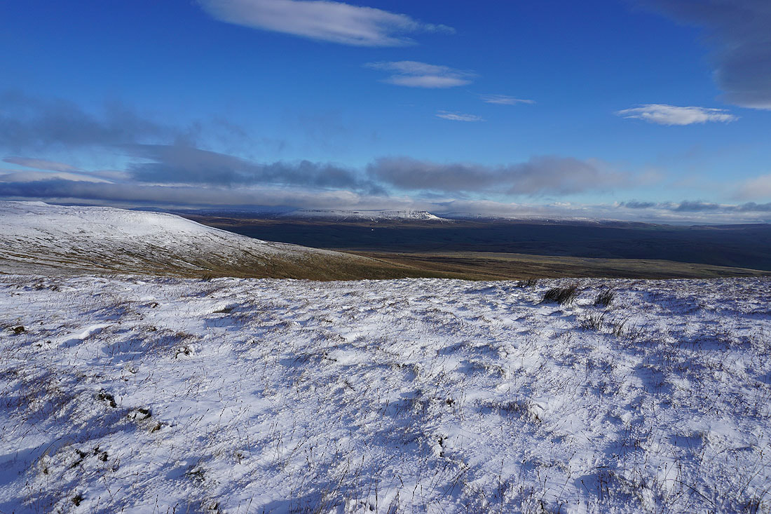
Penyghent and Fountains Fell on the other side of Ribblesdale, with sunshine on the limestone pavement of Sulber and Moughton
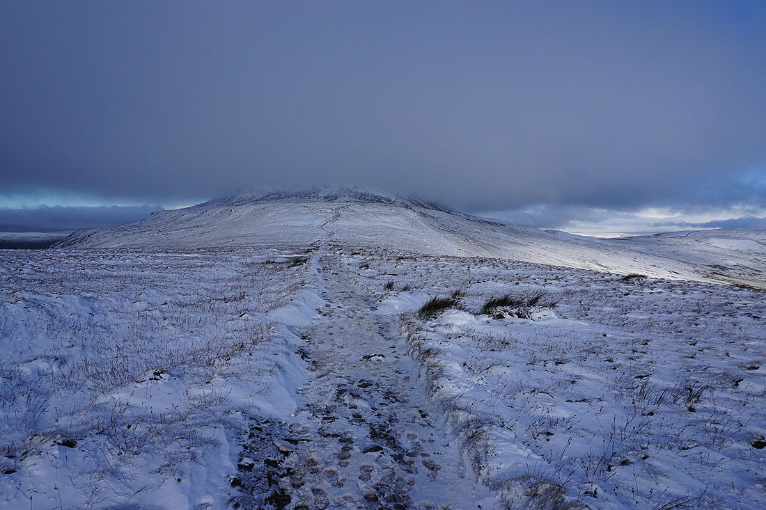
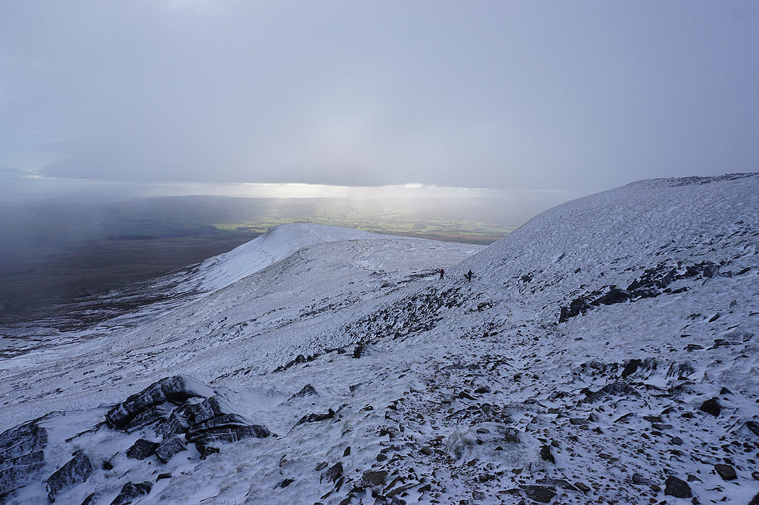
Heading for Ingleborough
Looking back to Little Ingleborough
Simon Fell as I climb up onto the summit plateau
Looking back to Little Ingleborough as I reach the summit plateau
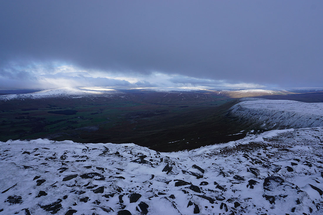
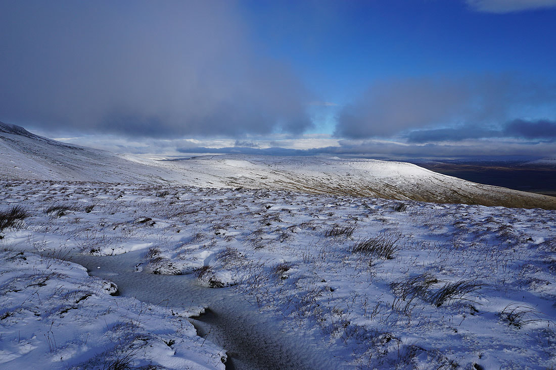
Whernside, Ribblehead and Great Knoutberry Hill from the eastern end of the summit plateau. There doesn't seem to be much sunshine around.
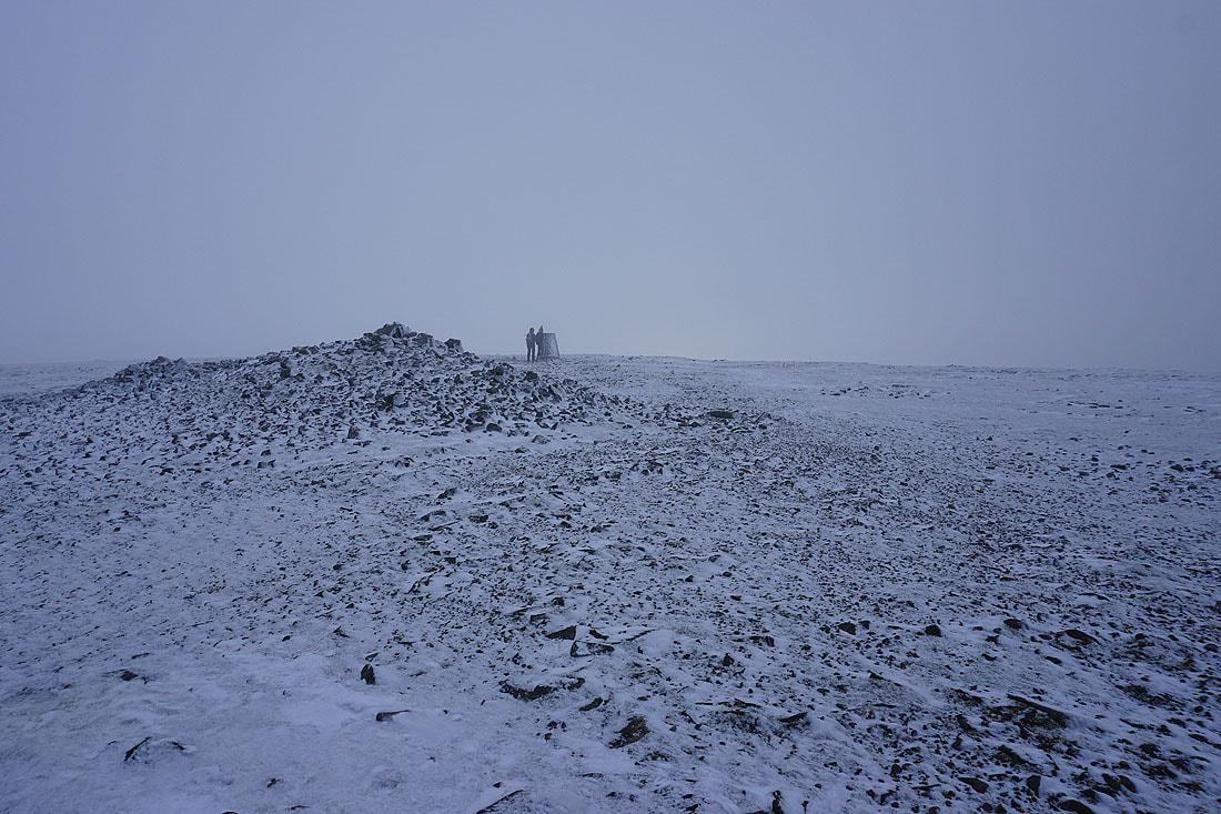
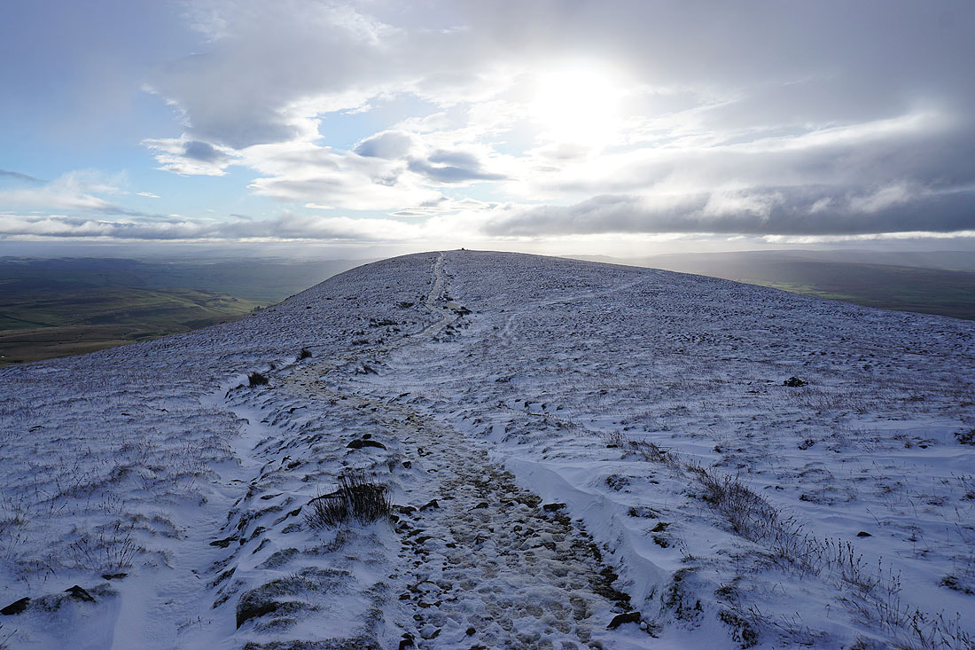
Just a few minutes later I'm at the summit and I have no view
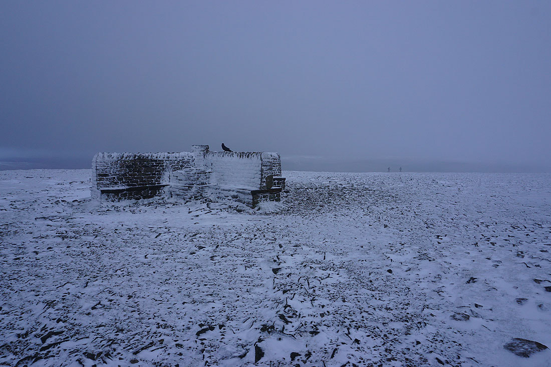
After a stop for lunch, the cross shelter was definitely needed, I'll have a walk along the edge of the plateau and see if I can get any views. I might get lucky if the cloud breaks .
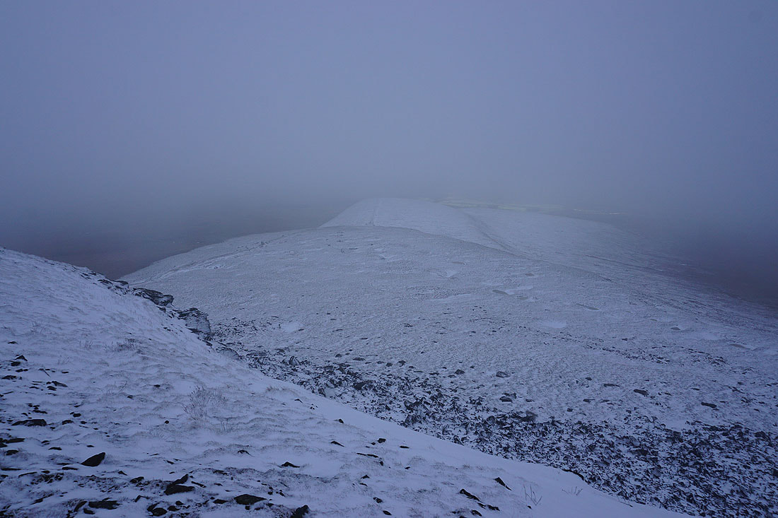
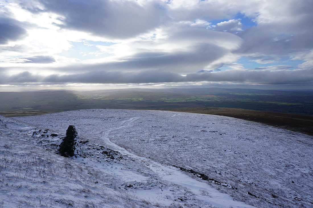
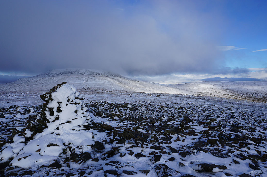
This was all I got. Little Ingleborough from the southern edge of the plateau.
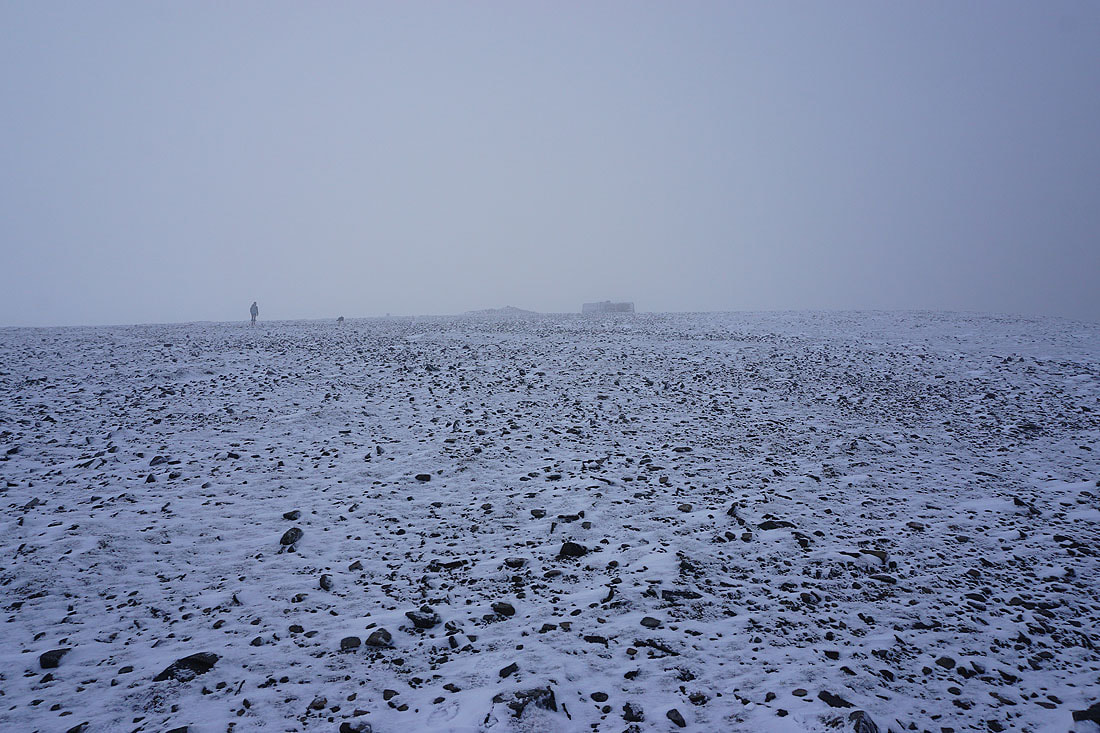
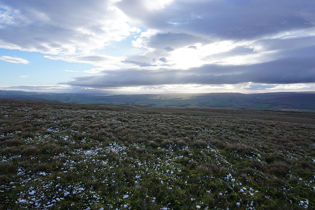
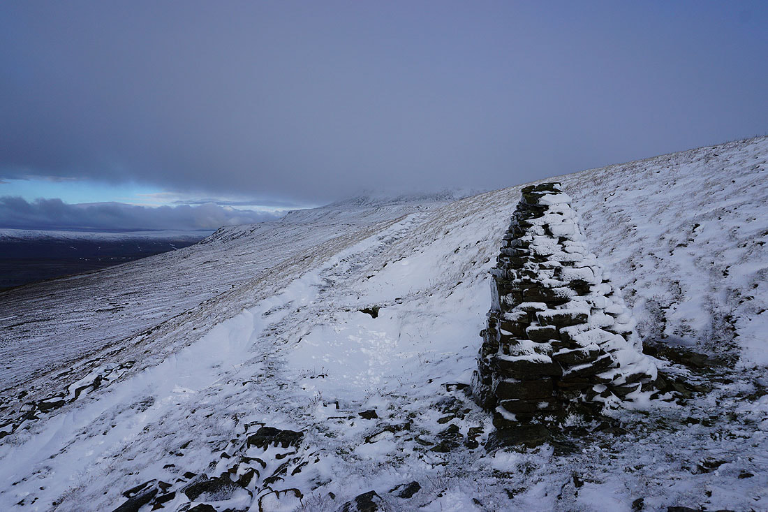
It's a bit bleak as I cross the summit plateau
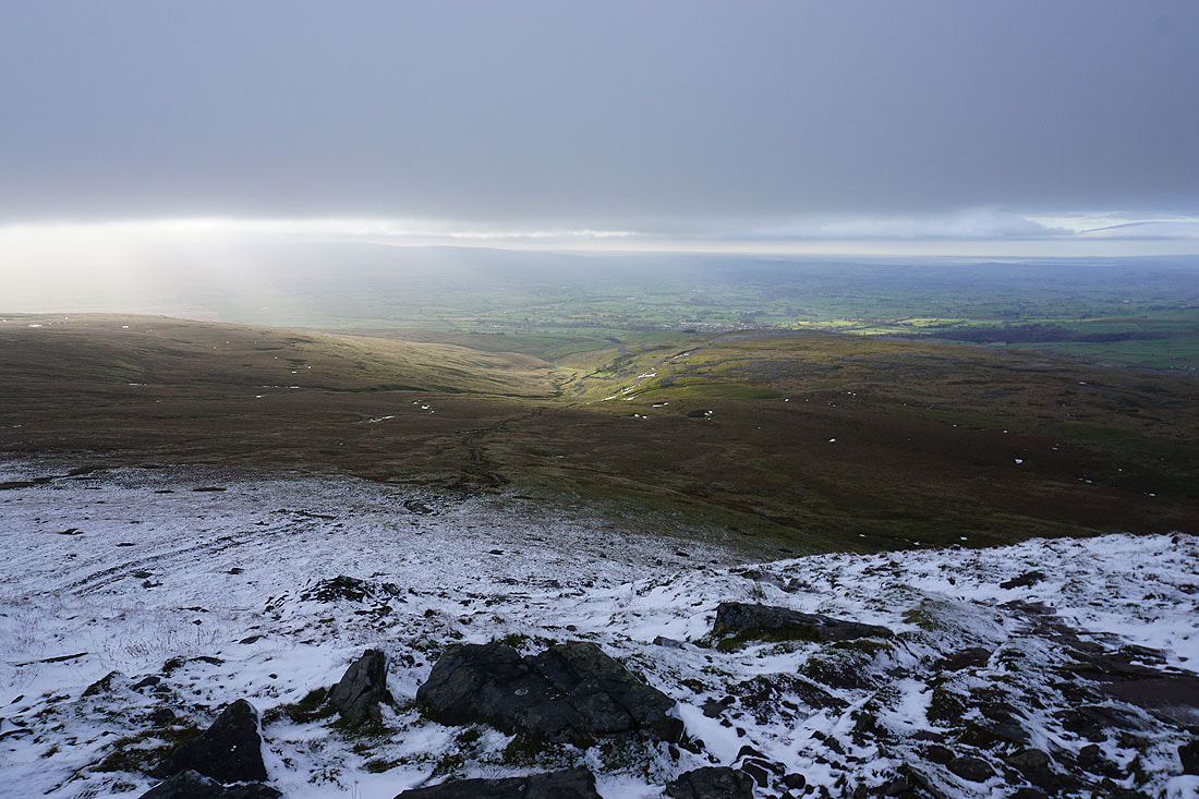
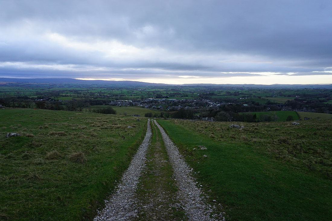
In contrast, green fields and sunshine below as I descend the path to Crina Bottom and Ingleton
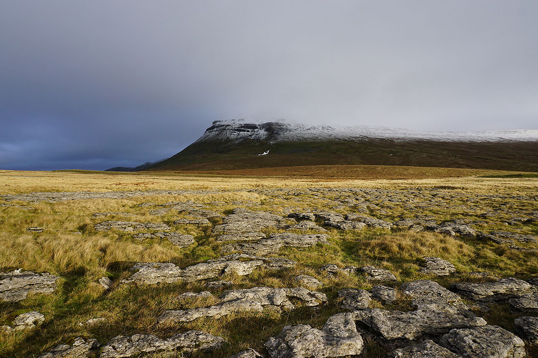
I leave the path to Crina Bottom and head out onto the limestone pavement of White Scars
The snow covered fells of Gragareth, Great Coum and Whernside
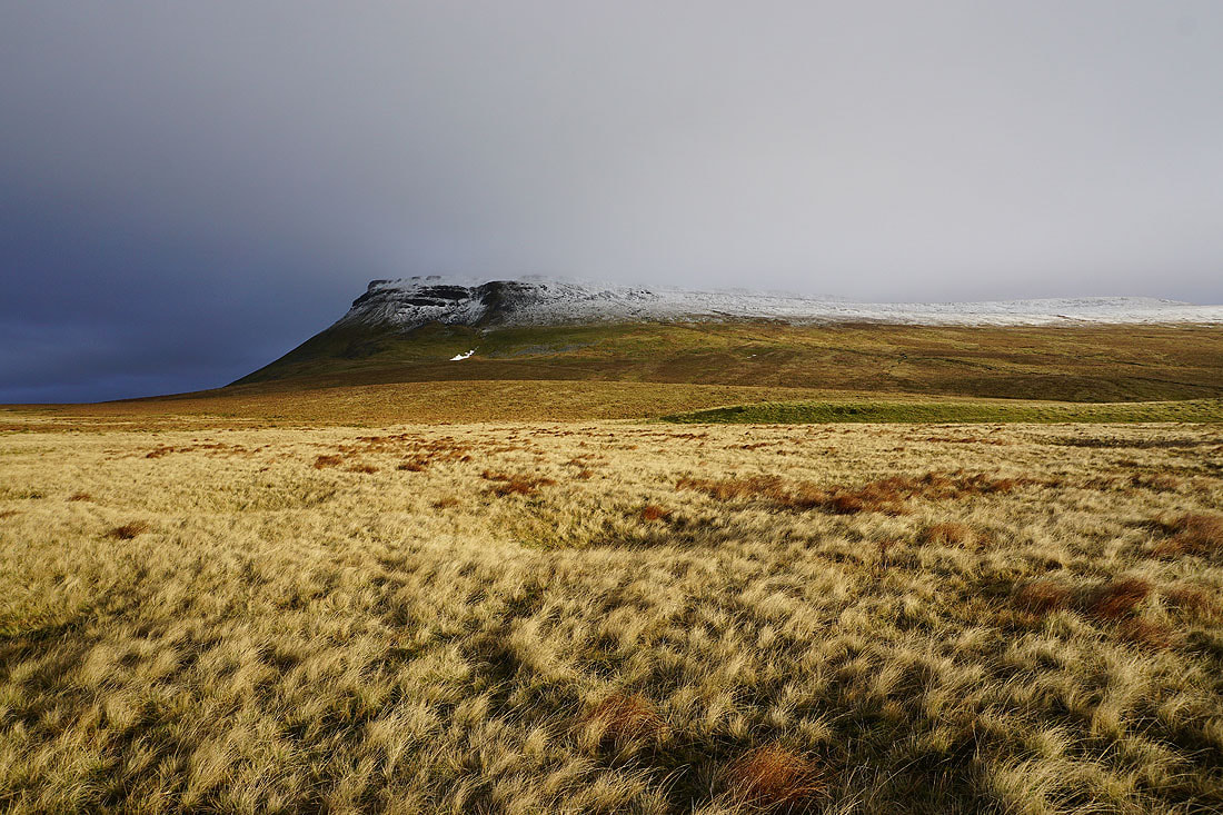
A great view of Ingleborough, especially in this light from the low sun..

A cloud topped Ingleborough from the bridleway past Crina Bottom
Heading down the track of Fell Lane to Ingleton

To my right I can make out the southern fells of the Lake District, especially Dow Crag and the Old Man of Coniston
The snow topped fell of Gragareth behind Twisleton Scar End
Ingleton in sight