5th January 2019 - Alport Castles
Walk Details
Distance walked: 9.3 miles
Total ascent: 2019 ft
OS map used: OL1 - The Peak District, Dark Peak area
Time taken: 5.5 hrs
Route description: Fairholmes-Lockerbrook Coppice-Lockerbrook Outdoor Centre-Woodcock Coppice-Rowlee Pasture-Birchin Hat-Alport Castles-The Tower-Alport Farm-Alport Bridge-Upper Ashop-Rowlee Bridge-Rowlee Farm-Woodcock Coppice-Hagg Side Plantation-Ladybower Reservoir-Fairholmes
I decided to head to the Peak District today and pay a visit to Alport Castles. Alport Castles is thought to be the largest landslide in the UK and I think it's one of the Peak District's must see locations. It's nearly four years since my only previous walk to it so another one was overdue. The weather wasn't as good as it was for that first time however with grey and overcast skies, but it would have been like that wherever I went. After setting off from Fairholmes in light winds the breeze gradually picked up so that it was pretty windy by the time I reached Alport Castles. It did look at one point that low cloud might start to cover the tops of the moors but the strengthening wind helped to thin and break the cloud a little, there was even the odd glimpse of the sun.
From the Fairholmes car park I made my way up to the road and took the footpath up through Lockerbrook Coppice to reach the bridleway on the hillside above. I then followed the bridleway south past the Lockerbrook Outdoor Centre to a crossroads of bridleways at Woodcock Coppice. Here I turned right and made up way up onto the access land of Rowlee Pasture. After a stroll across the moor I reached the highlight of the day, Alport Castles. The moorland at Birchen Hat just past here was my lunch stop. I then made my way back to Alport Castles before heading down to follow a faint path between Little Moor and The Tower. After a bit of a scramble to the top of The Tower I picked up the footpath down to Alport Farm. Alport Farm's access road then took me down Alport Dale to a footpath down to the A57 at Alport Bridge. After crossing the A57 I followed the bridleway towards Upper Ashop and along the hillside before heading down to Rowlee Bridge and back across the A57 and up to Rowlee Farm. The bridleway continued uphill below Bellhag Tor to the bridleway crossroads at Woodcock Coppice. Here I turned right onto the bridleway above Hagg Side Plantation before taking the one down through the conifers to the road by Ladybower Reservoir. I then followed the path by the reservoir back to the car park.
Route map
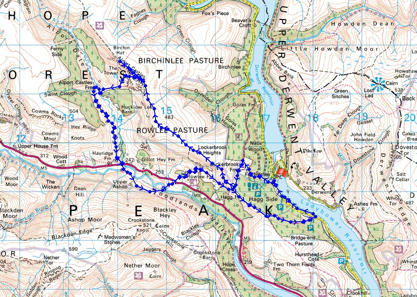
© Crown copyright. All rights reserved. License number PU 100034184.
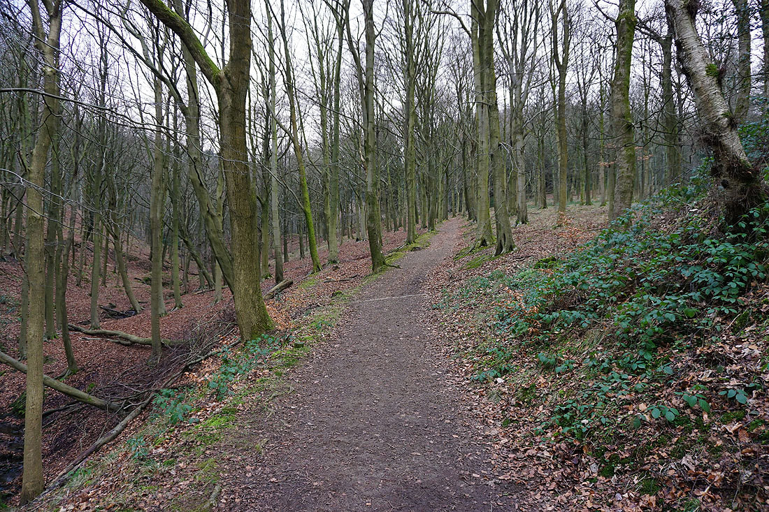
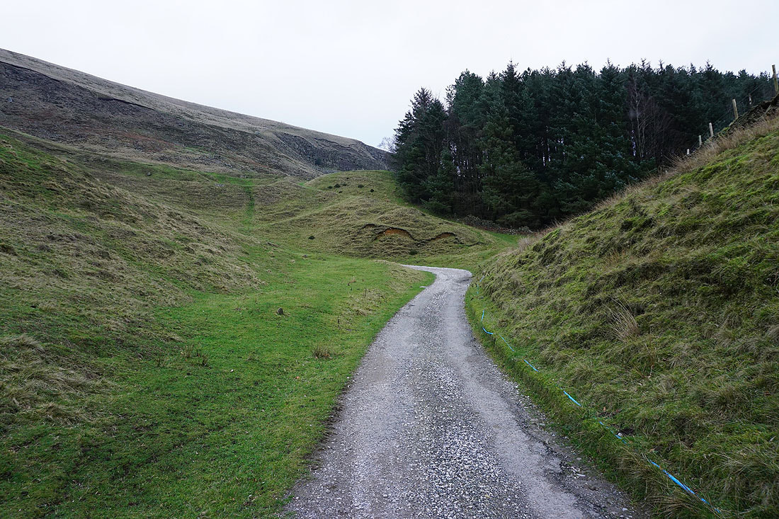
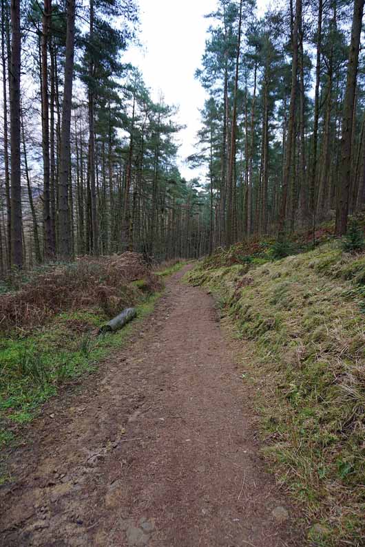
On the path up through Lockerbrook Coppice
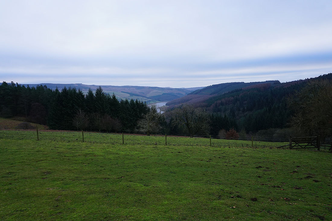
Derwent Edge and a bit of Ladybower Reservoir from the bridleway past the Lockerbrook Outdoor Centre
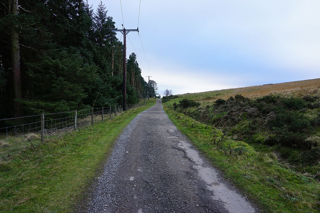
On the bridleway by the Hagg Side plantation
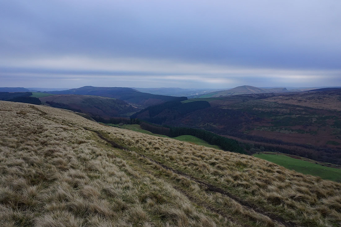
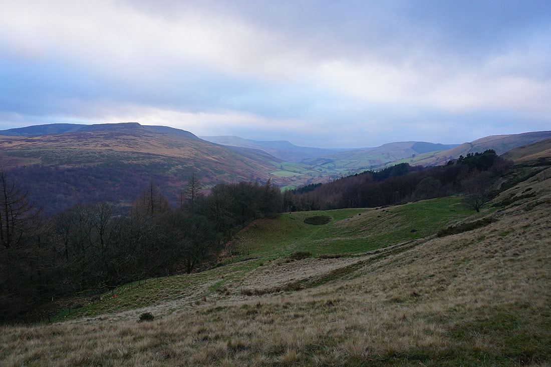
Win Hill and Lose Hill as I reach the open moor above Haggtor Coppice
and I have a view of the northern slopes of Kinder Scout and the Woodlands Valley
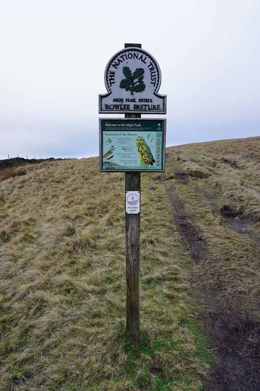
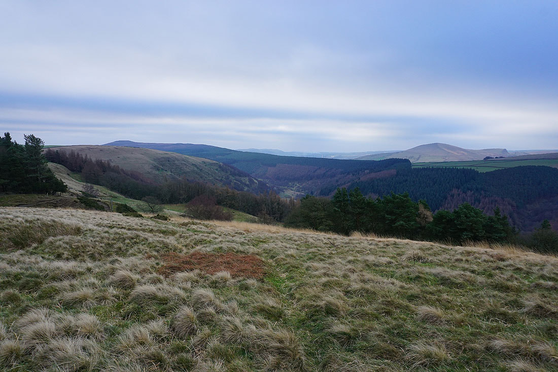
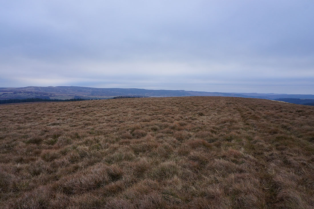
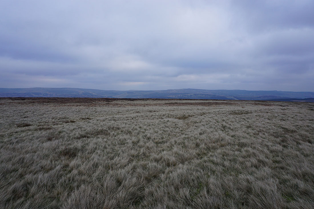
Up onto the open moor of Rowlee Pasture
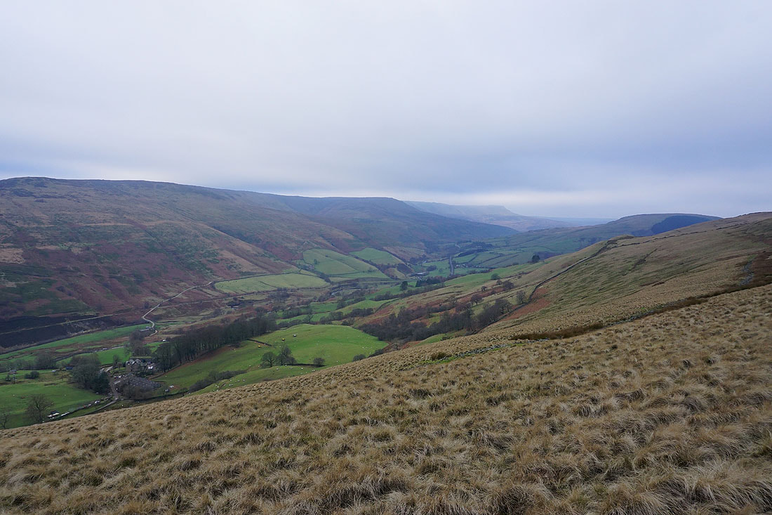
Another photo of Kinder Scout and the Woodlands Valley
Win Hill and the Woodlands Valley with Lose Hill on the other side of the moor on the right. Not the most inspiring weather at the moment.
Back Tor and Derwent Edge from Rowlee Pasture
A bit of Howden Reservoir, Howden Edge and Back Tor
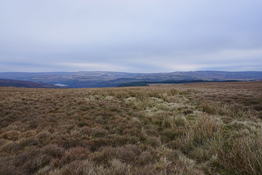
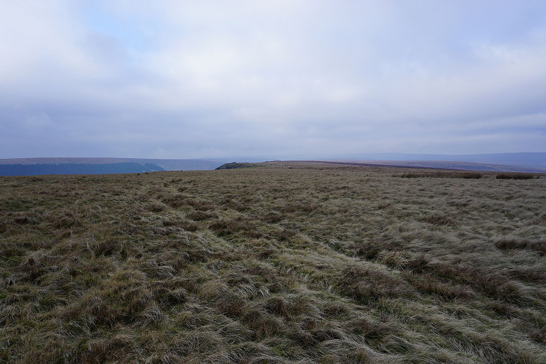
Looking back along Rowlee Pasture
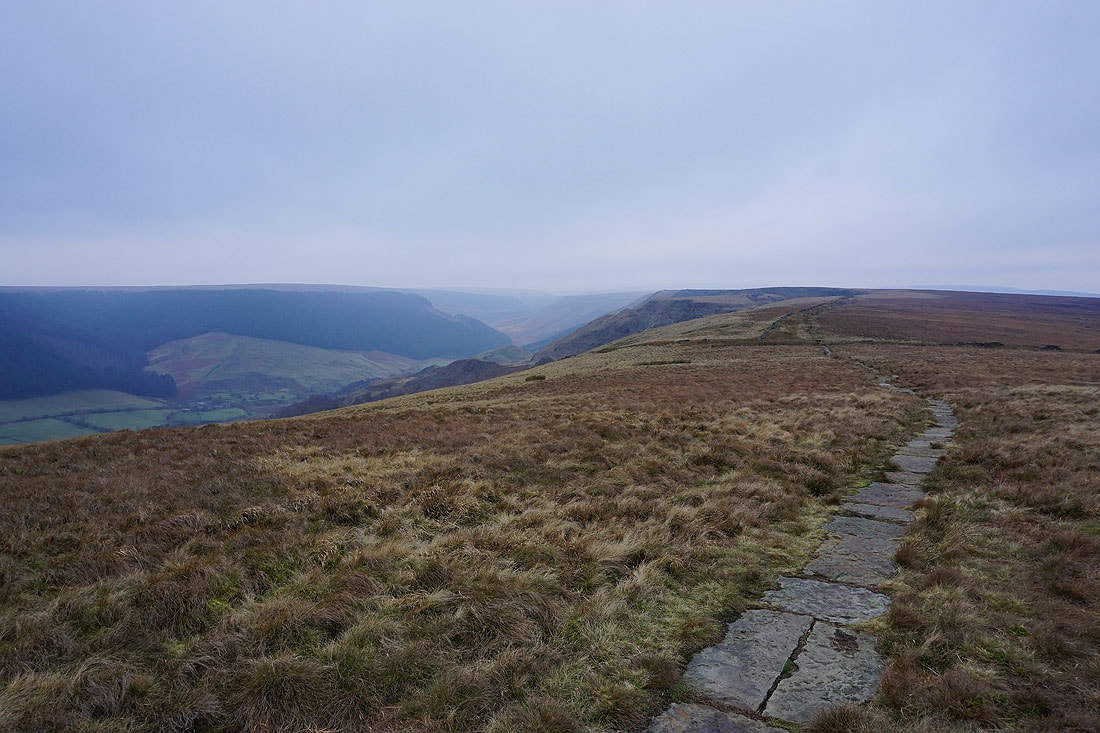
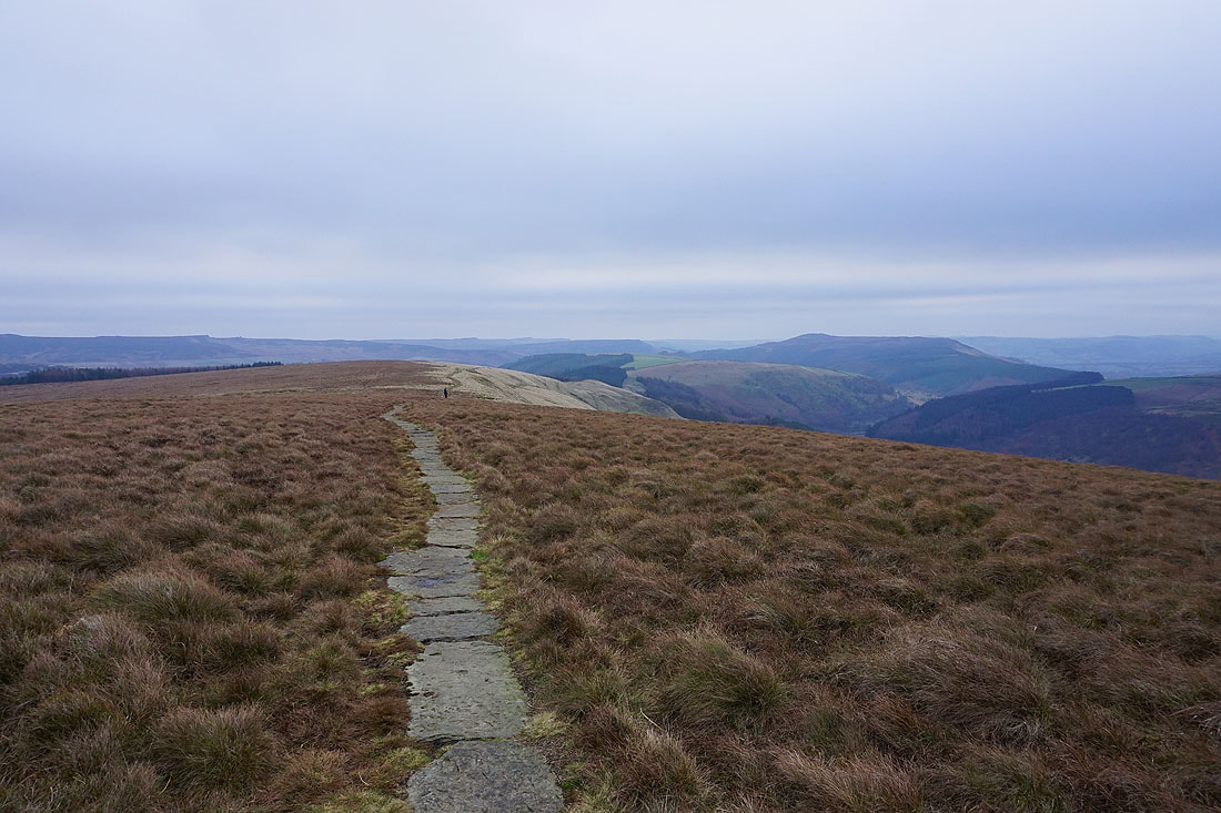
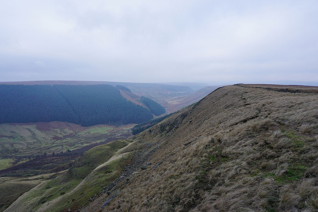
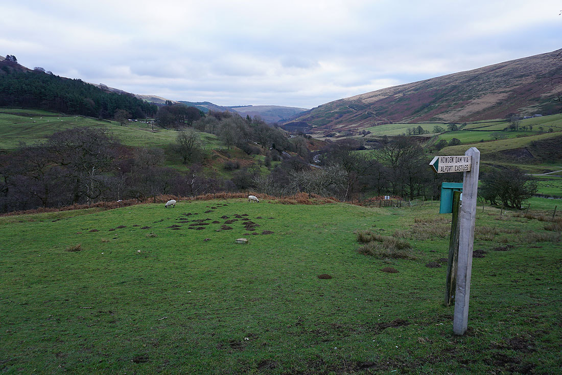
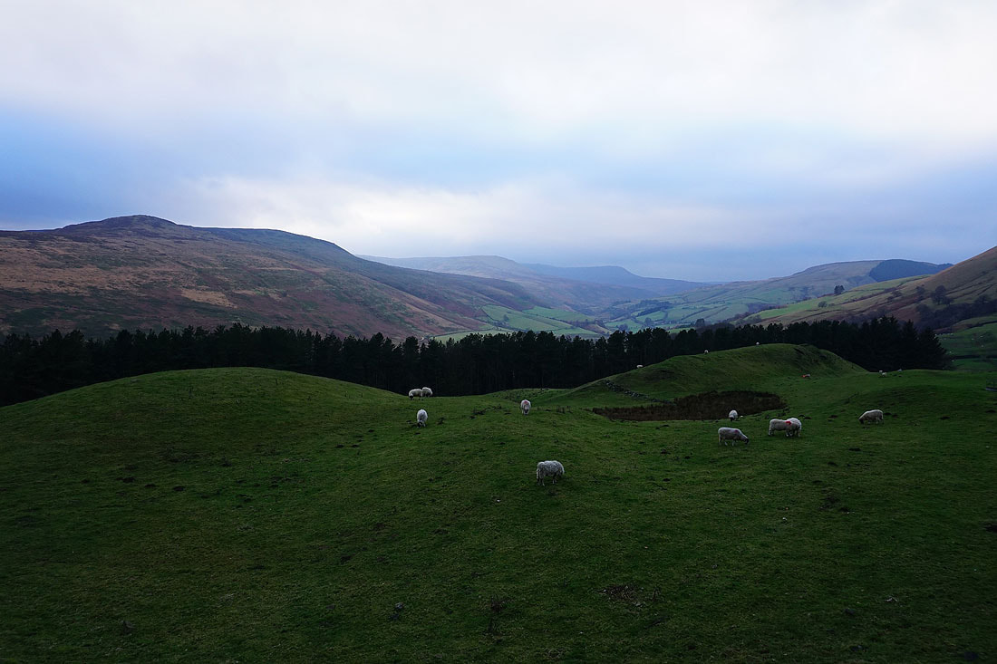
and ahead, with Alport Dale on the left. Alport Castles isn't far to go.
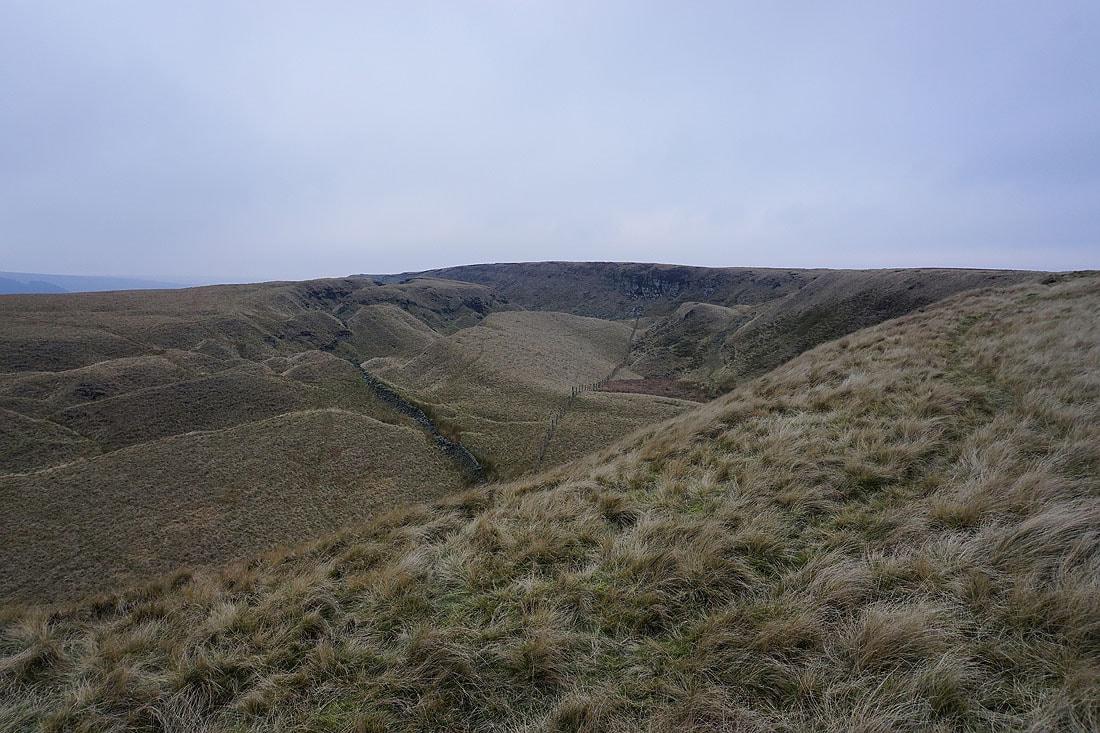
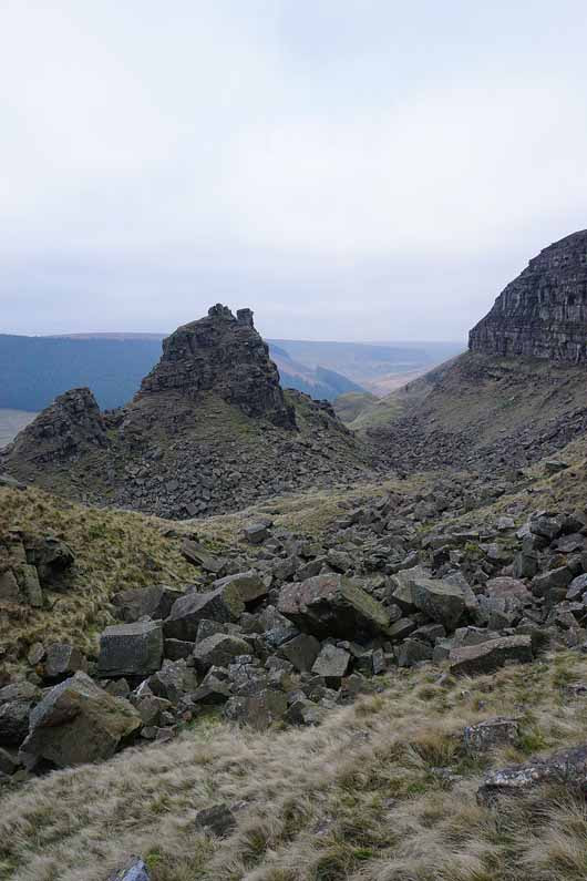
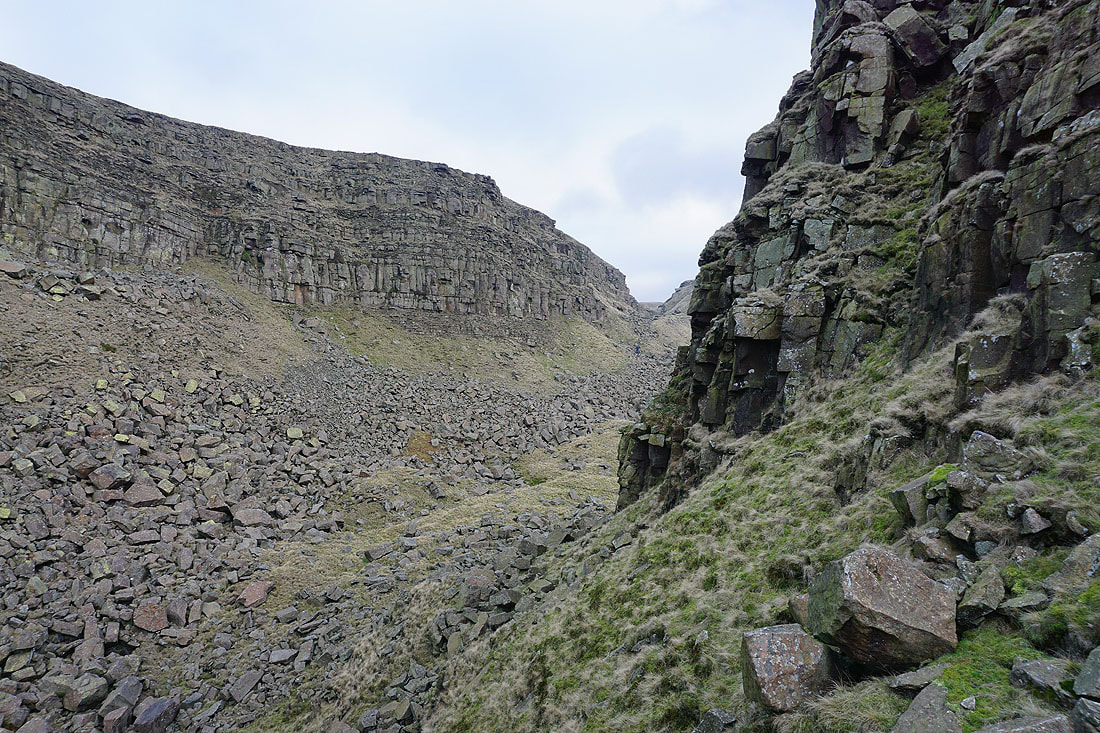
Little Moor. Part of the landslip of Alport Castles.
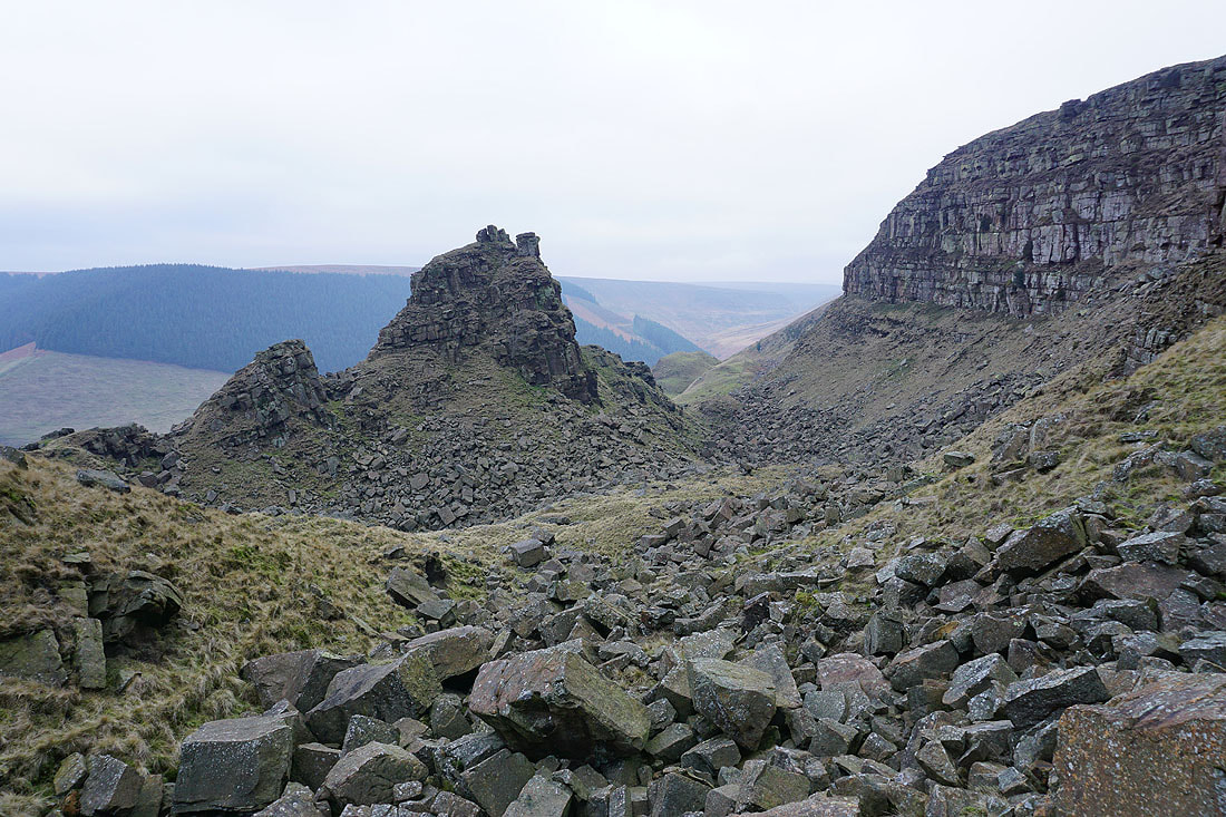
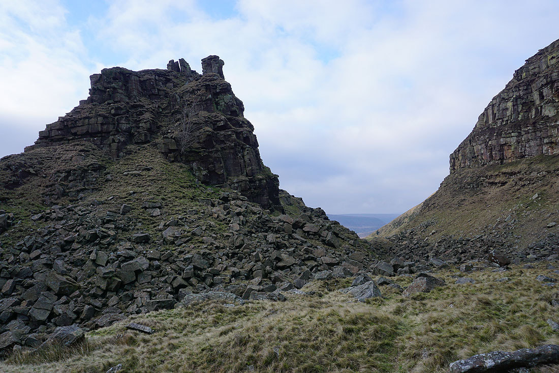
The Tower at Alport Castles
Liitle Moor and The Tower
Looking up Alport Dale from Birchin Hat
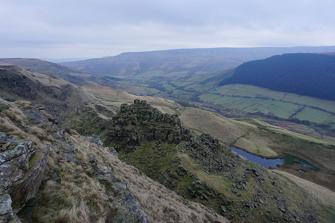
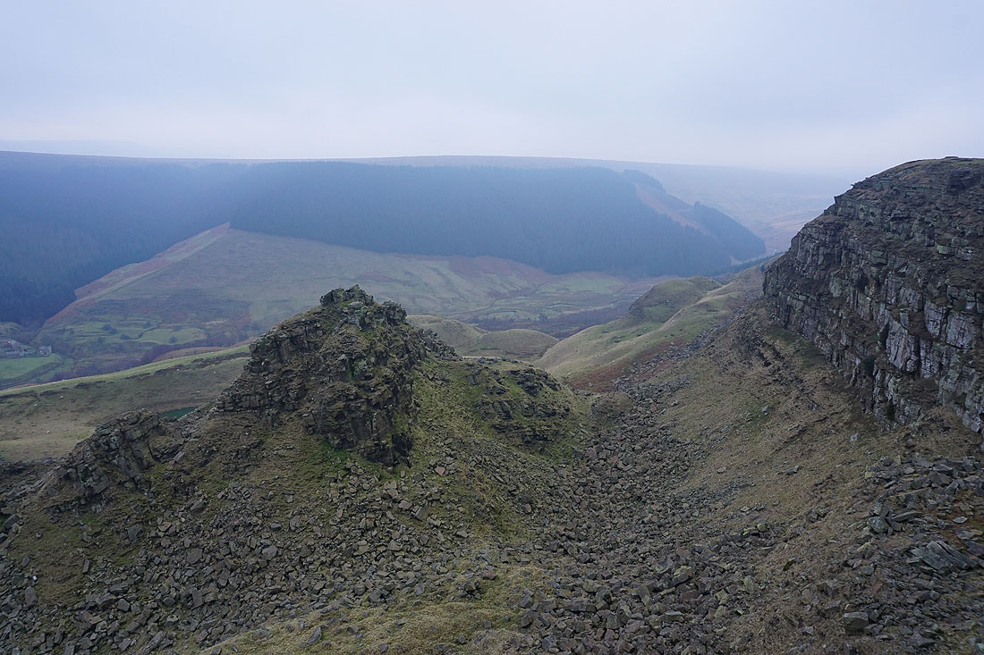
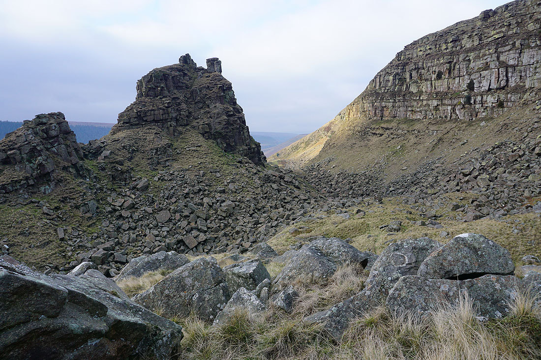
The Tower, the pool of Alport Mere and Alport Dale
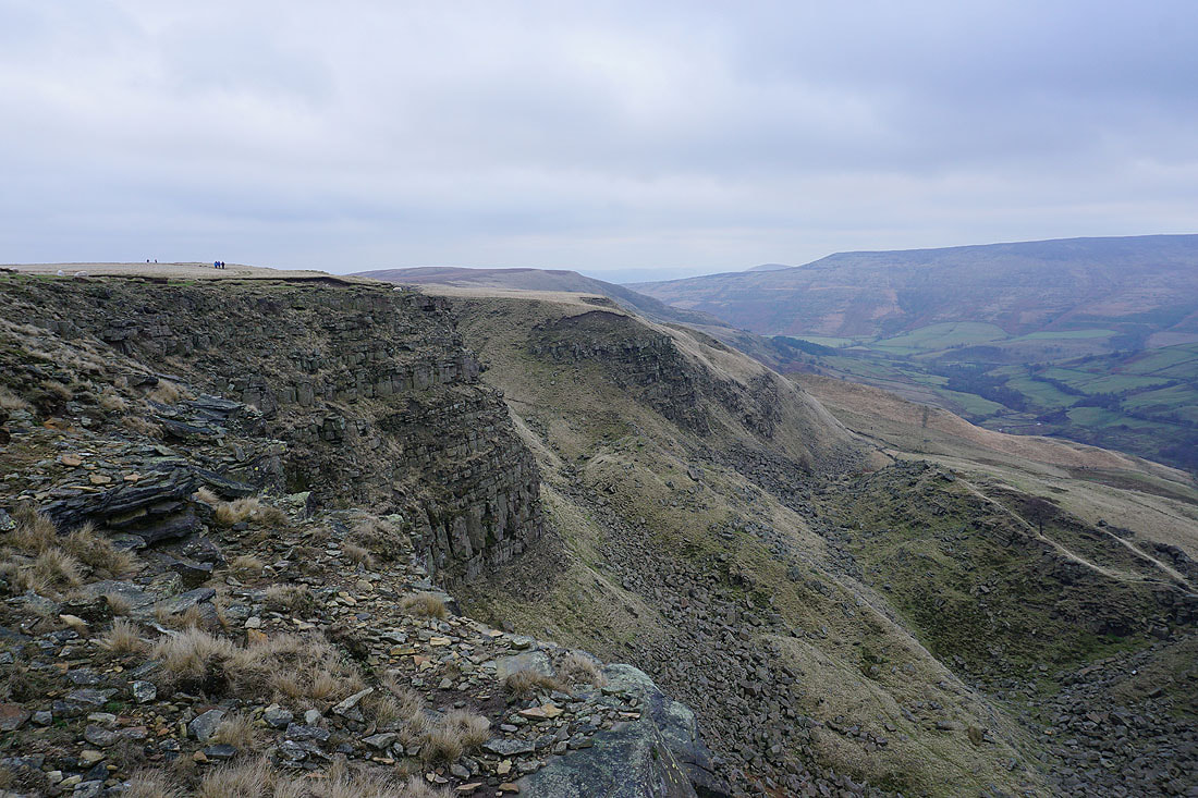
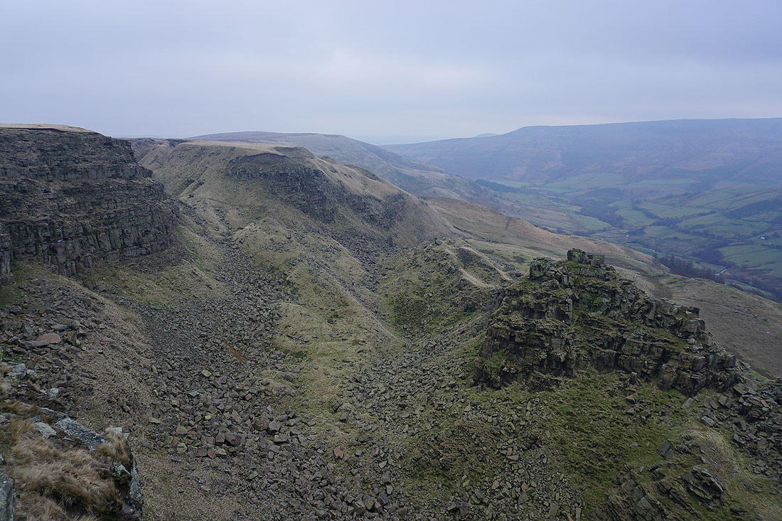
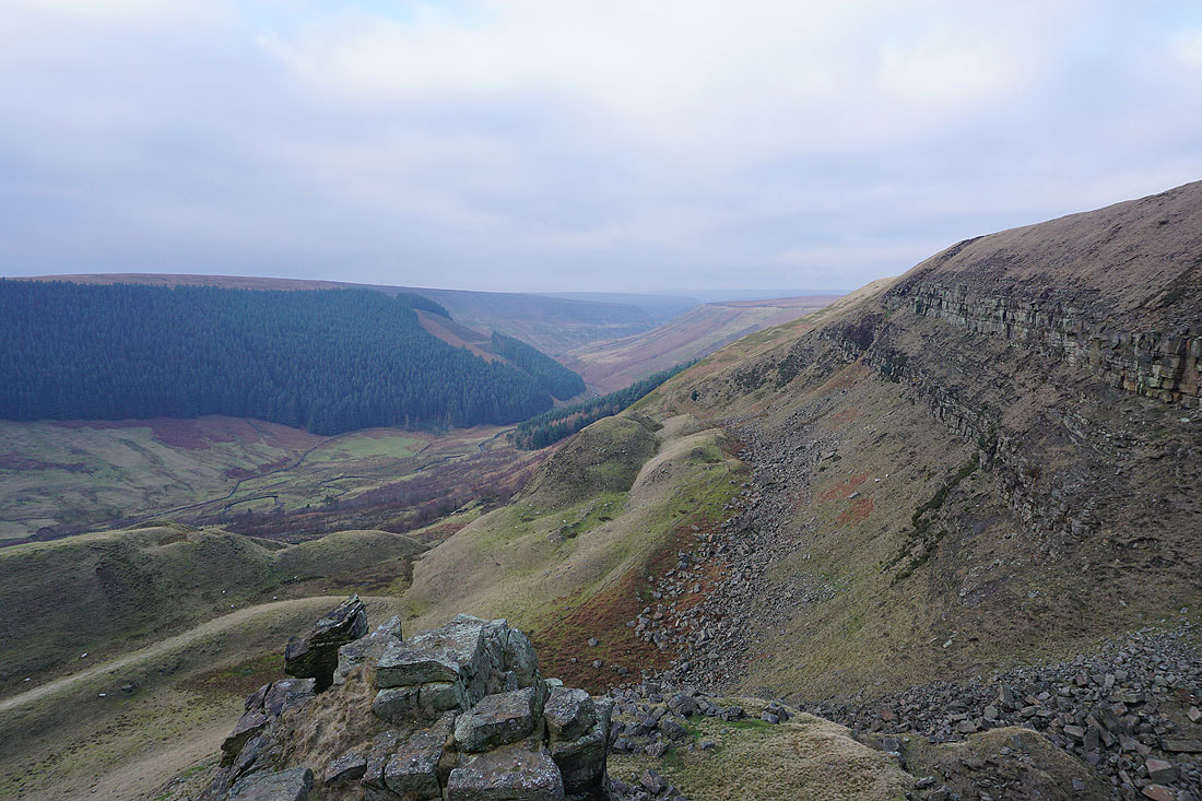
Looking back along the edge to Little Moor
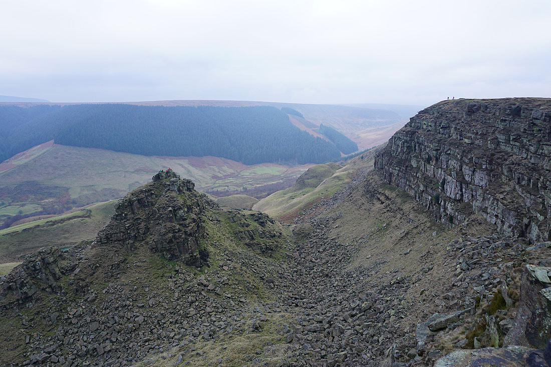
Another shot of The Tower, this time with a couple of people on the edge of the drop to give scale
Howden Edge, Back Tor and Derwent Edge in the distance
Looking north towards Bleaklow. It's showing signs of brightening up a little.
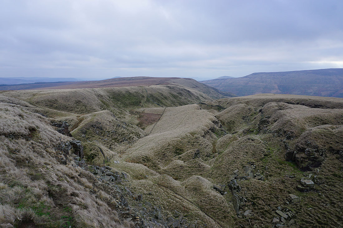
The chaos of the landslip of Little Moor. Just ahead is where I can drop down and make my way to The Tower.
Derwent Edge in the distance
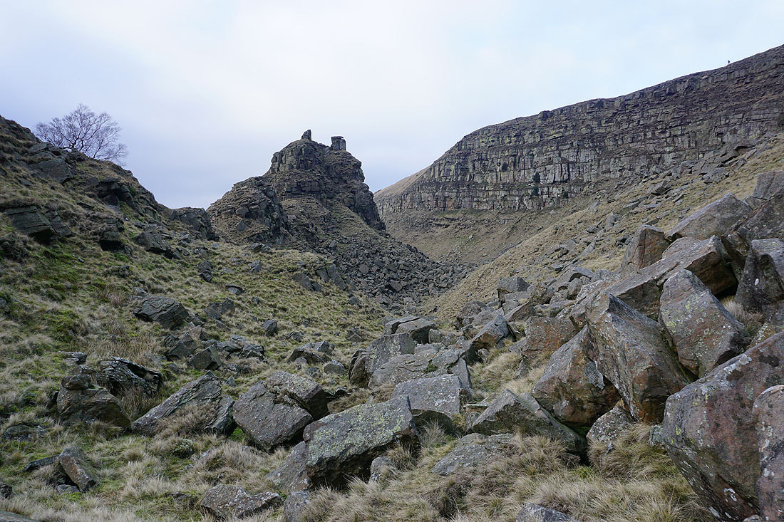
Approaching The Tower..
and after a little bit of a scramble, looking up Alport Dale from the top of The Tower
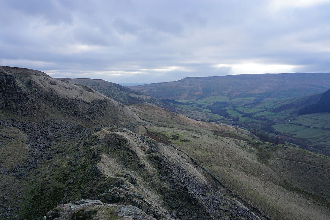
and looking down Alport Dale towards the Woodlands Valley
Back down and making my way through the gap between the cliff and The Tower
Some photos of The Tower as I head for the path to Alport Farm...
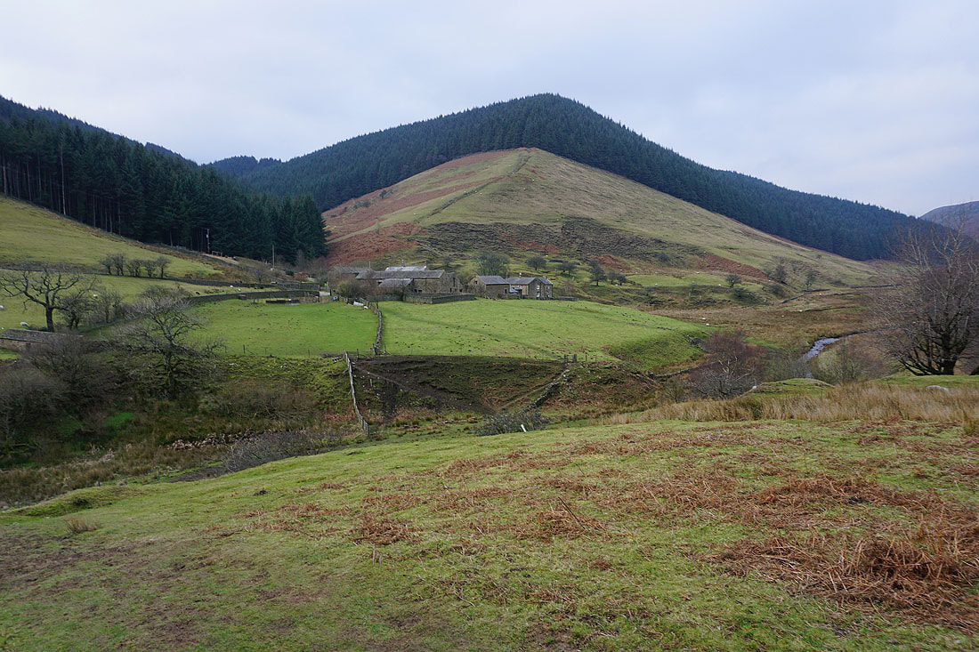
Alport Farm ahead
Crossing the River Alport
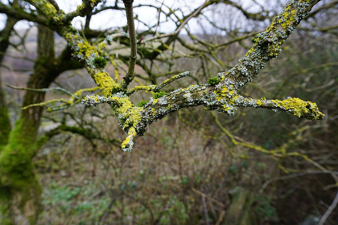
Up close with moss and lichens
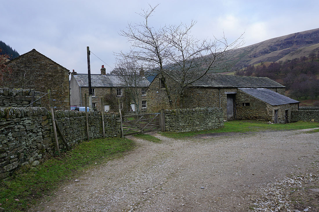
Alport Farm
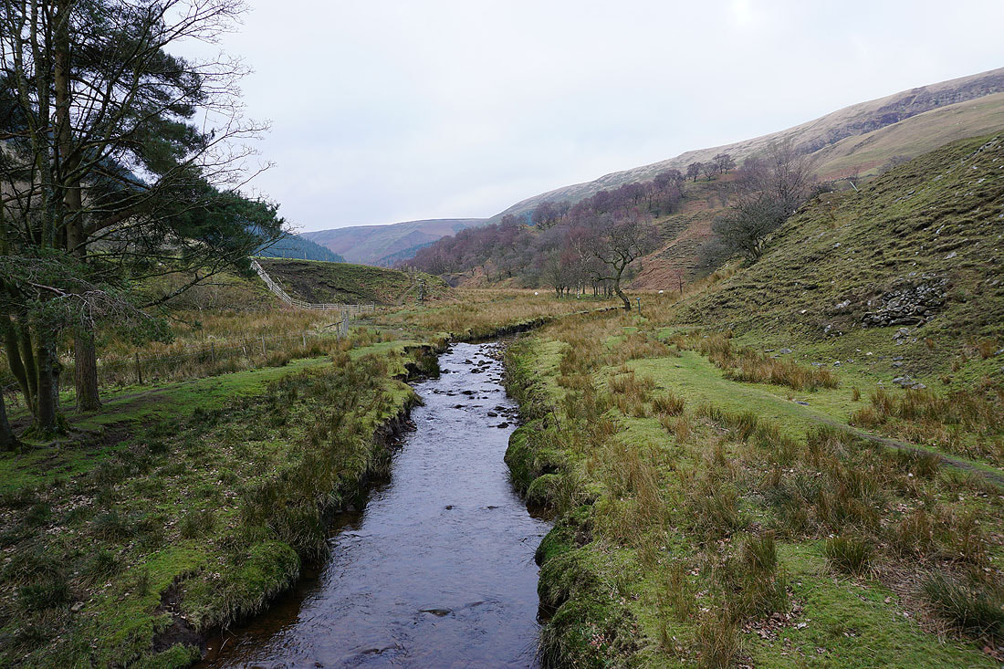
I leave the track from Alport Farm and take the footpath down to Alport Bridge
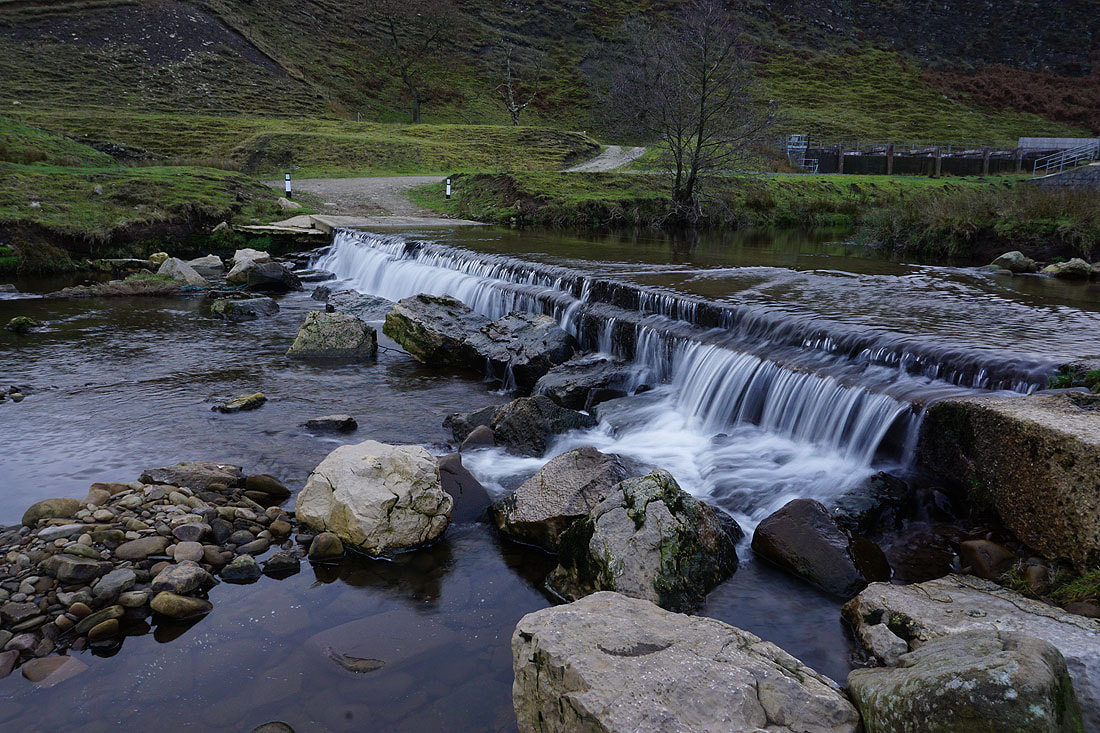
A ford on the River Ashop. Fortunately there's a footbridge just upstream.
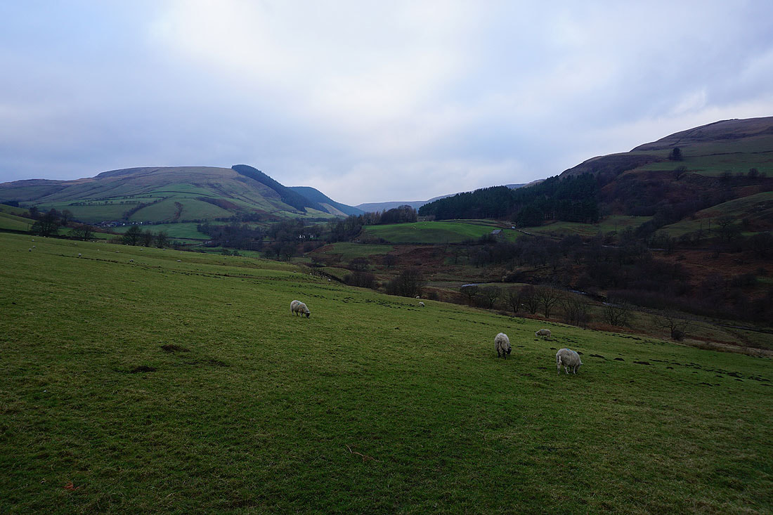
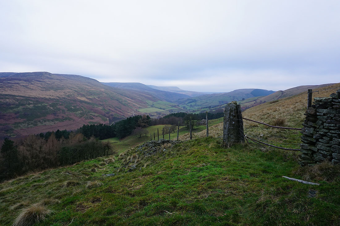
Looking across the Woodlands Valley to Cowms Moor and the end of Alport Dale
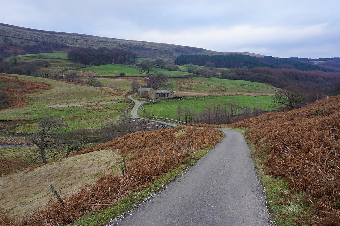
On the bridleway to Rowlee Bridge and Low Barn
and having passed Rowlee Farm, on the bridleway beneath Bellhag Tor
The northern slopes of Kinder Scout and the Woodlands Valley from above Bellhag Wood
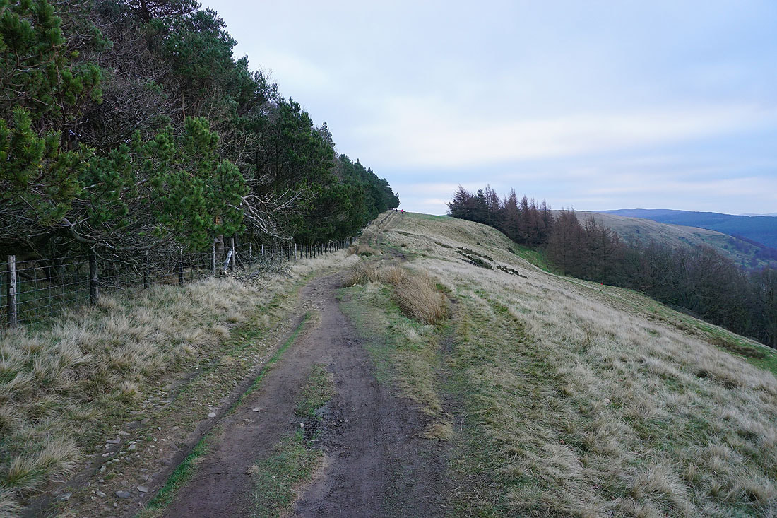
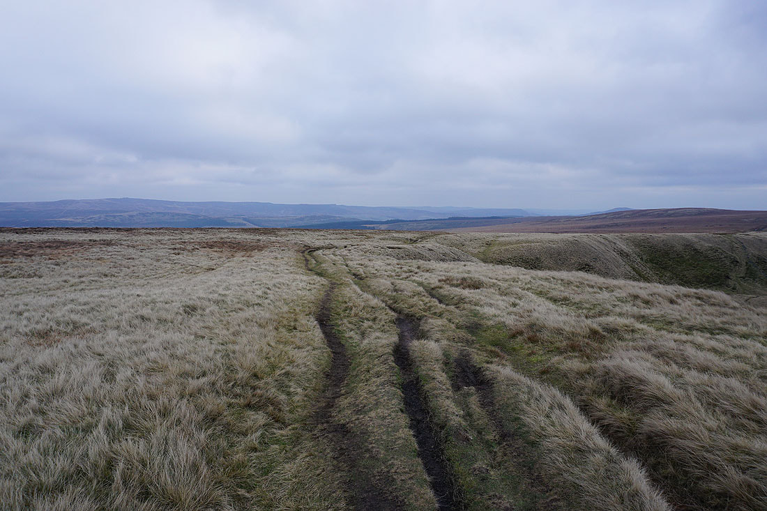
Following the bridleway by Hagg Side Plantation
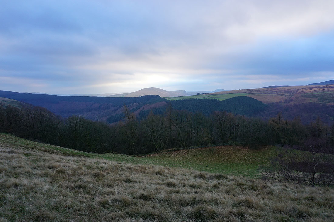
Brightness over Lose Hill
Kinder Scout and the Woodlands Valley from above Haggtor Coppice
Heading down the bridleway through Hagg Side Plantation
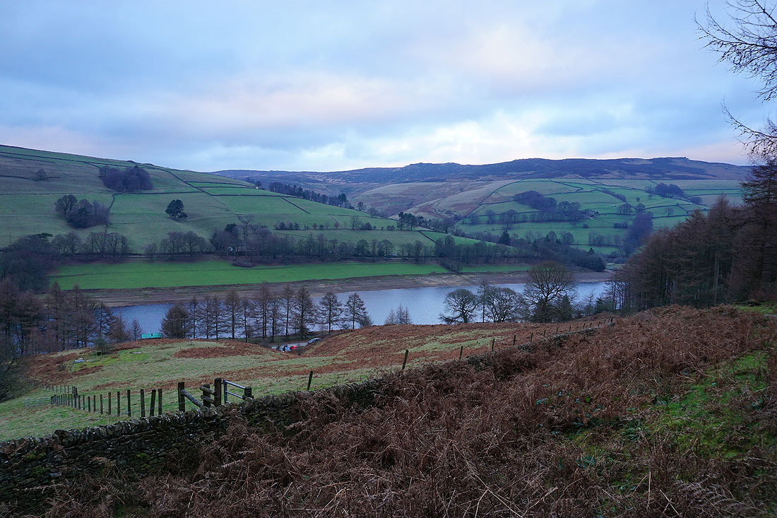
The final photo is of looking across Ladybower Reservoir to Derwent Edge before I reach the road back to Fairholmes