5th January 2020 - Barley to Blacko and back
Walk Details
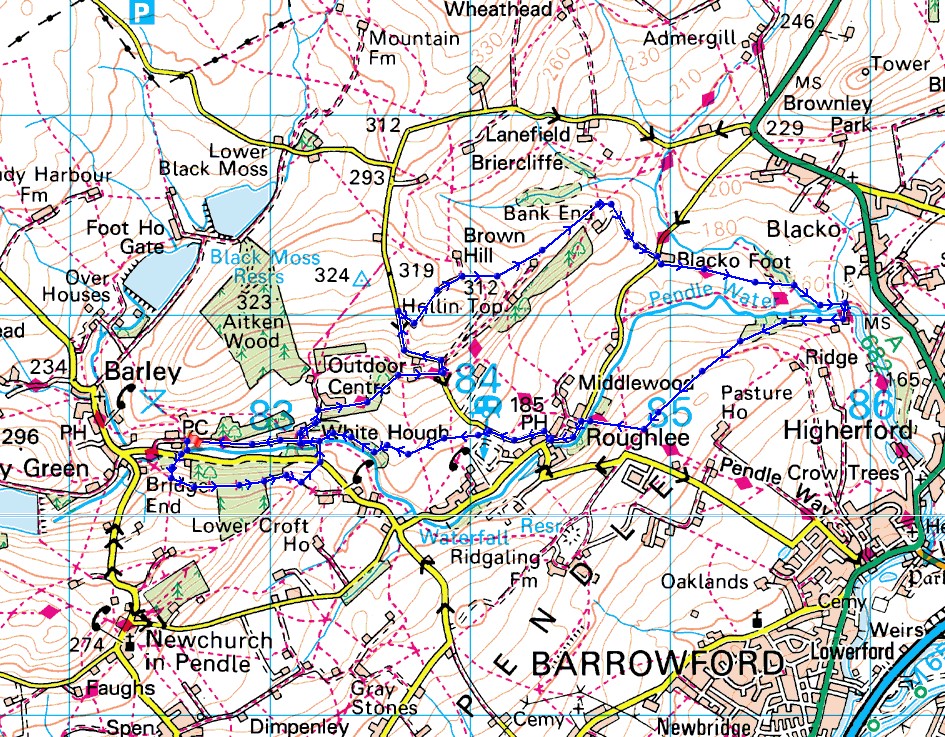
Distance walked: 5.6 miles
Total ascent: 1007 ft
OS map used: OL21 - South Pennines
Time taken: 3.5 hrs
Route description: Barley-Heys Lane Plantation-White Hough-Pendle Way-Stang Top Road-Brown Hill-Bank Ends-Blacko Foot Farm-Pendle Way-Water Meetings-Roughlee-Blacko Bar Road-Stang Top Road-White Hough-Pendle Way-Barley
Not exactly the best of days for my first walk of the new year but needs must. It threatened to brighten up when I returned home late in the morning after popping out for a few hours, so I decided to head to Barley and do a short walk to Blacko and back. Unfortunately it didn't improve and only got worse, with drizzle, heavy at times, for the rest of the afternoon, accompanied by a strong wind. At least it gave my waterproofs a test.
After parking on the road outside the car park in Barley I took the footpath up the hillside opposite to a track and followed it east through Heys Lane Plantation, then took a footpath on the left to the road below. I crossed the road onto the bridleway opposite to White Hough, where I picked up the Pendle Way and followed it east to Stang Top Road. I then walked up Stang Top Road past Offa Hill Cottage until I reached a footpath on the right, which I took and followed east around Brown Hill and down to Bank Ends, where I took the footpath southeast to Blacko Bar Road. I crossed the road to Blacko Foot Farm and took the Pendle Way, which I followed down to Water Meetings, then crossed the bridge over Pendle Water and onto the footpath southwest along the hillside above Pendle Water. I followed this path until I reached the Pendle Way down into Roughlee, where I then turned left and walked along Blacko Bar Road and then up Stang Top Road to a footpath on the left just past the caravan park. I followed this path across fields to White Hough where I picked up the Pendle Way for a return to Barley.
Route map
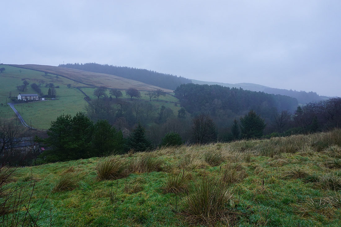
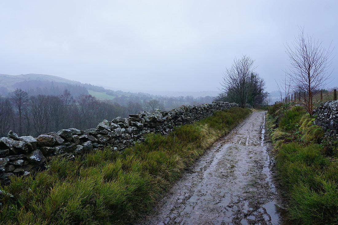
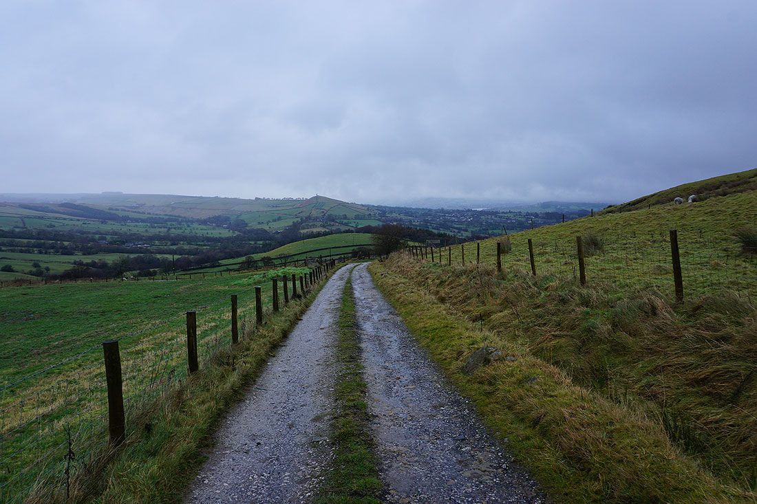
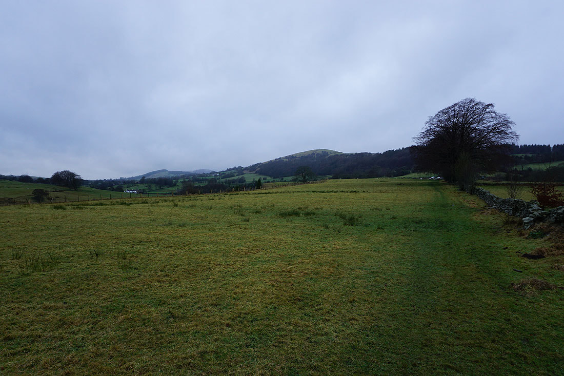
Grey skies and drizzle over Stang Top Moor as I leave Barley
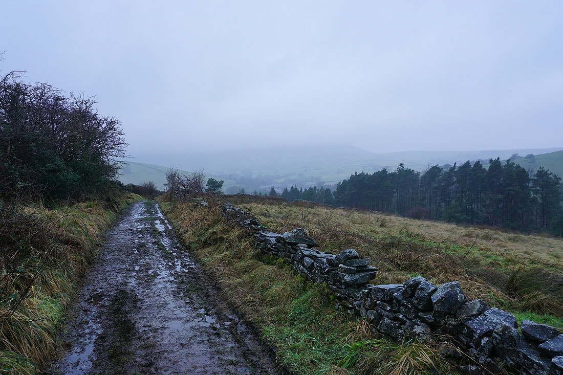
Pendle Hill hidden in cloud as I look back..
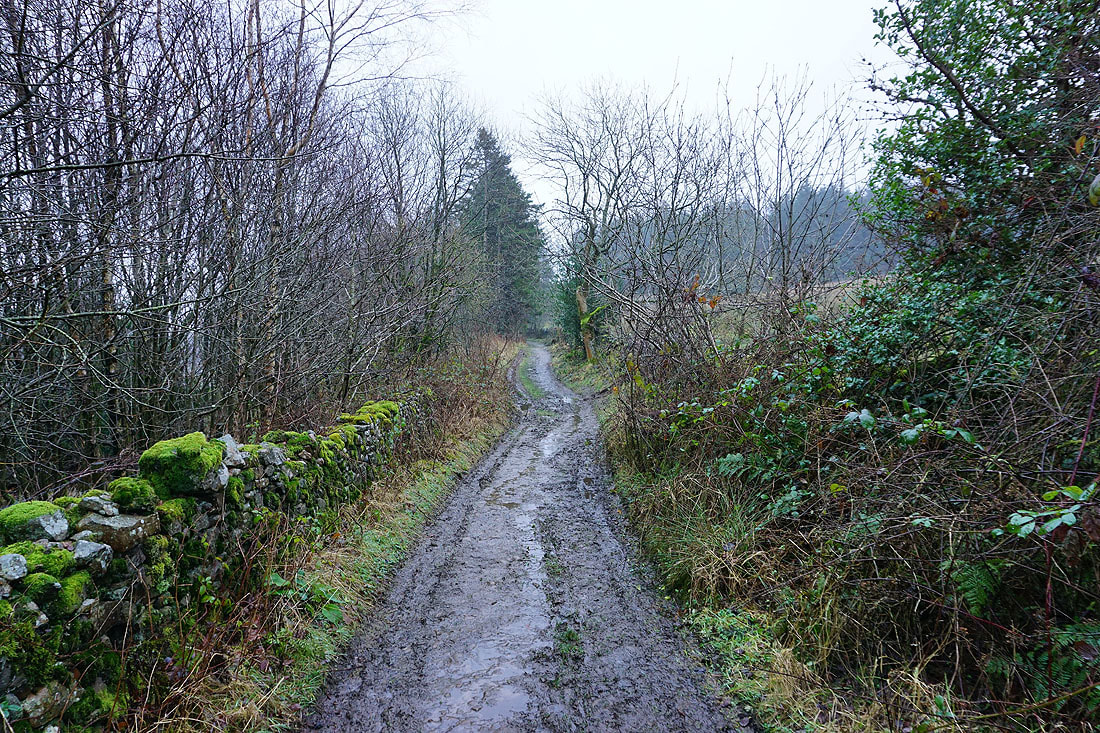
..on the bridleway to Thorney Holme...
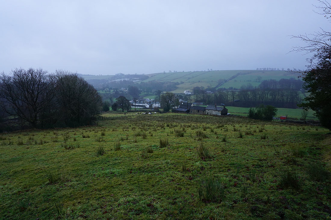
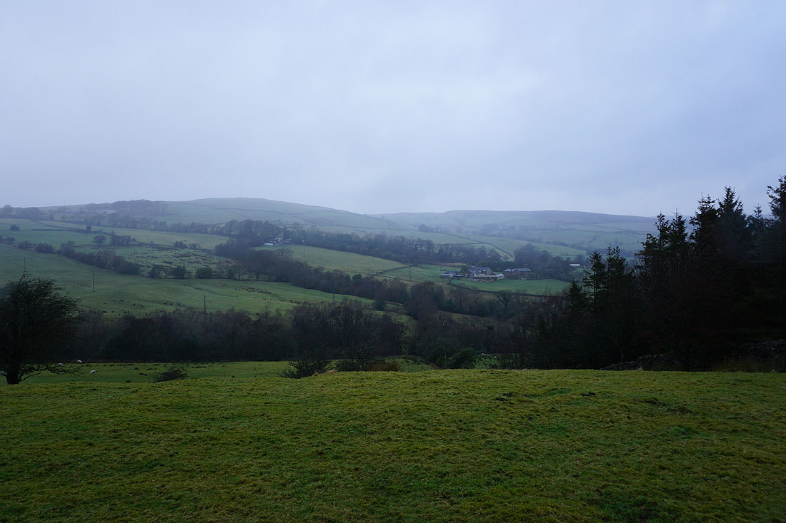
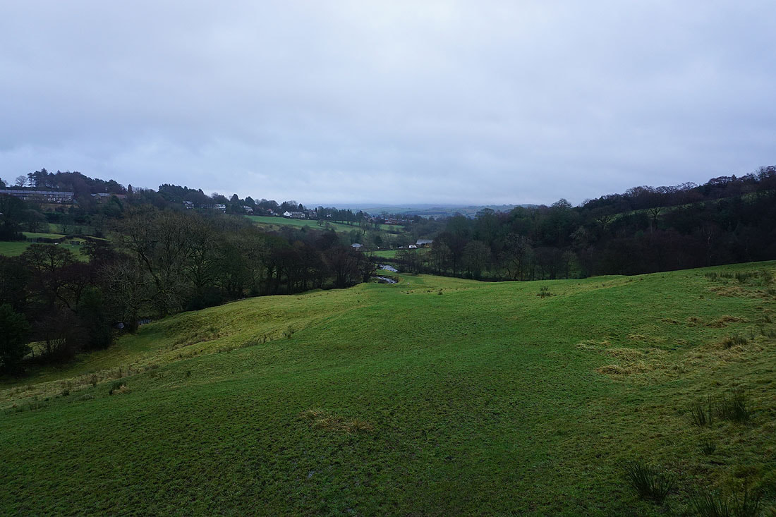
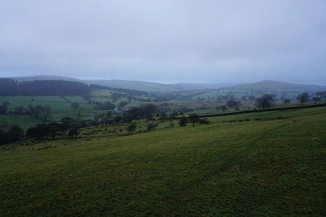
Looking across the valley of Pendle Water to Spen Height from the Pendle Way
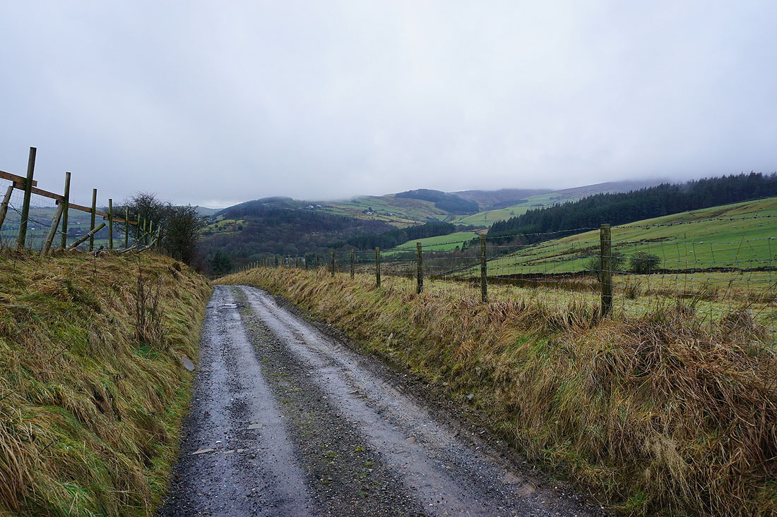
Looking back with Saddlers Height in the distance from the footpath round Brown Hill
Blacko Hill ahead
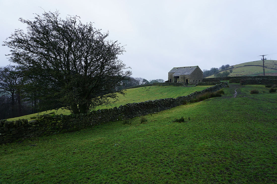
The lee of this barn beneath Brown Hill was a good place to shelter behind for a break
Wheathead Height and Burn Moor
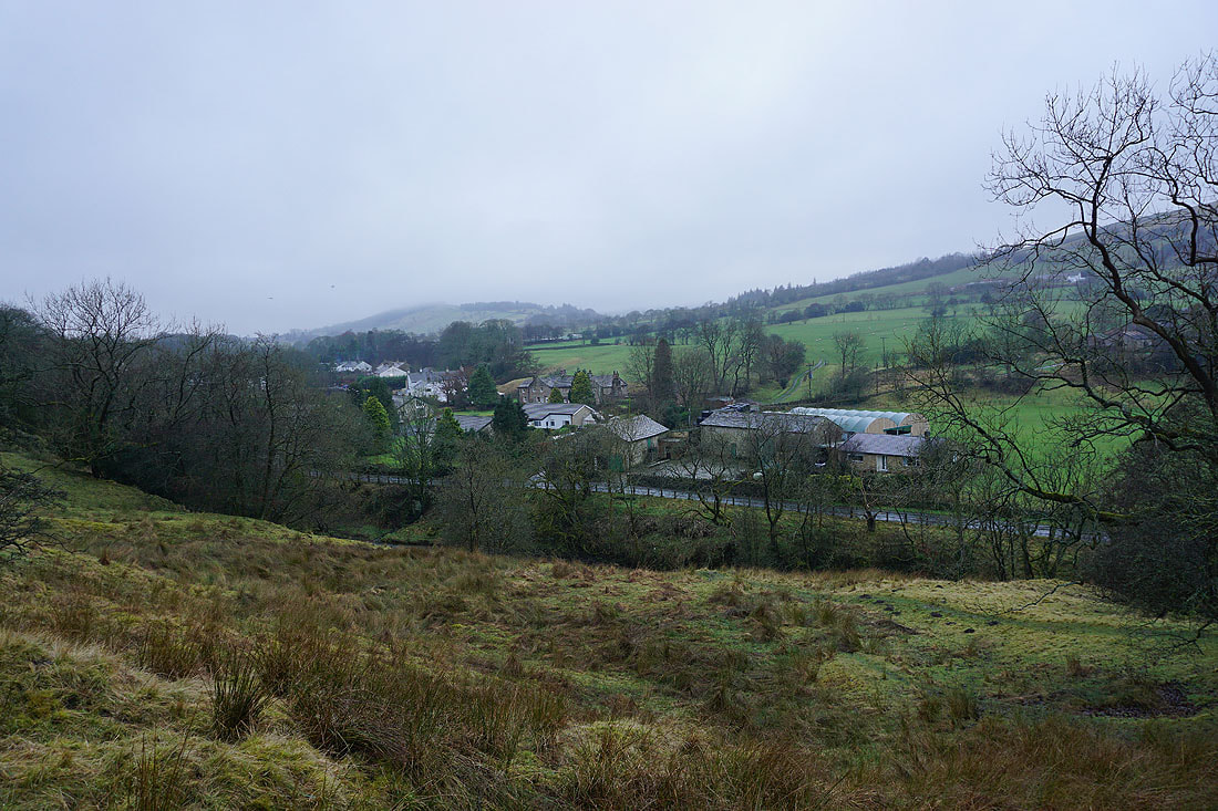
Blacko beneath Blacko Hill
Looking back to Brown Hill..
..as I follow the footpath down to Water Meetings
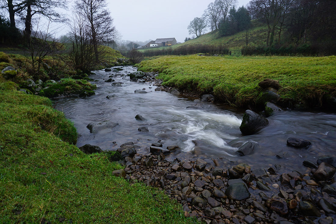
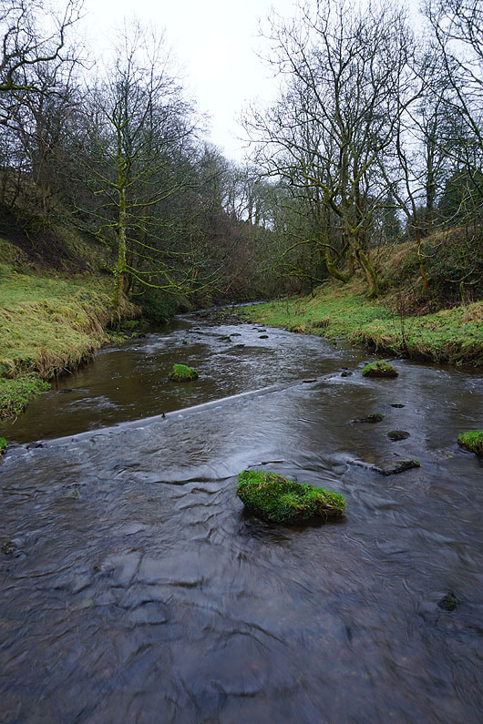
Pendle Water..
Blacko Hill being lost in the mist and drizzle. The weather is going downhill again.
Looking across the valley of Pendle Water to Wheathead Height, Burn Moor, White Moor and Blacko Hill
Heading down to Roughlee
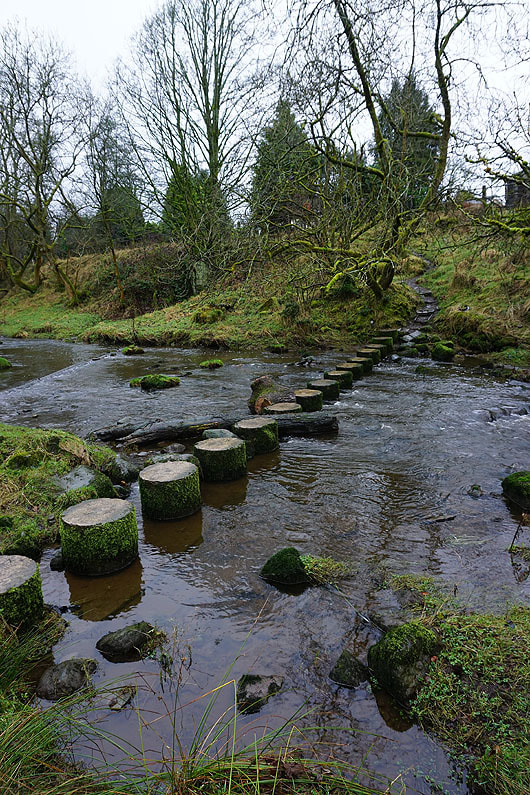
Crossing Pendle Water
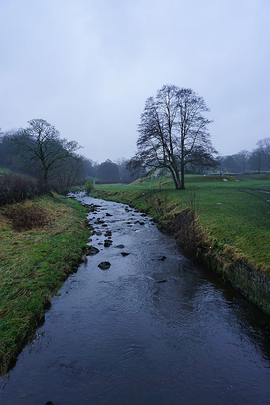
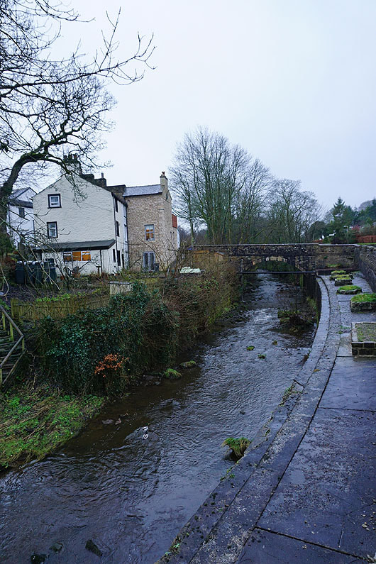
Pendle Water in Roughlee
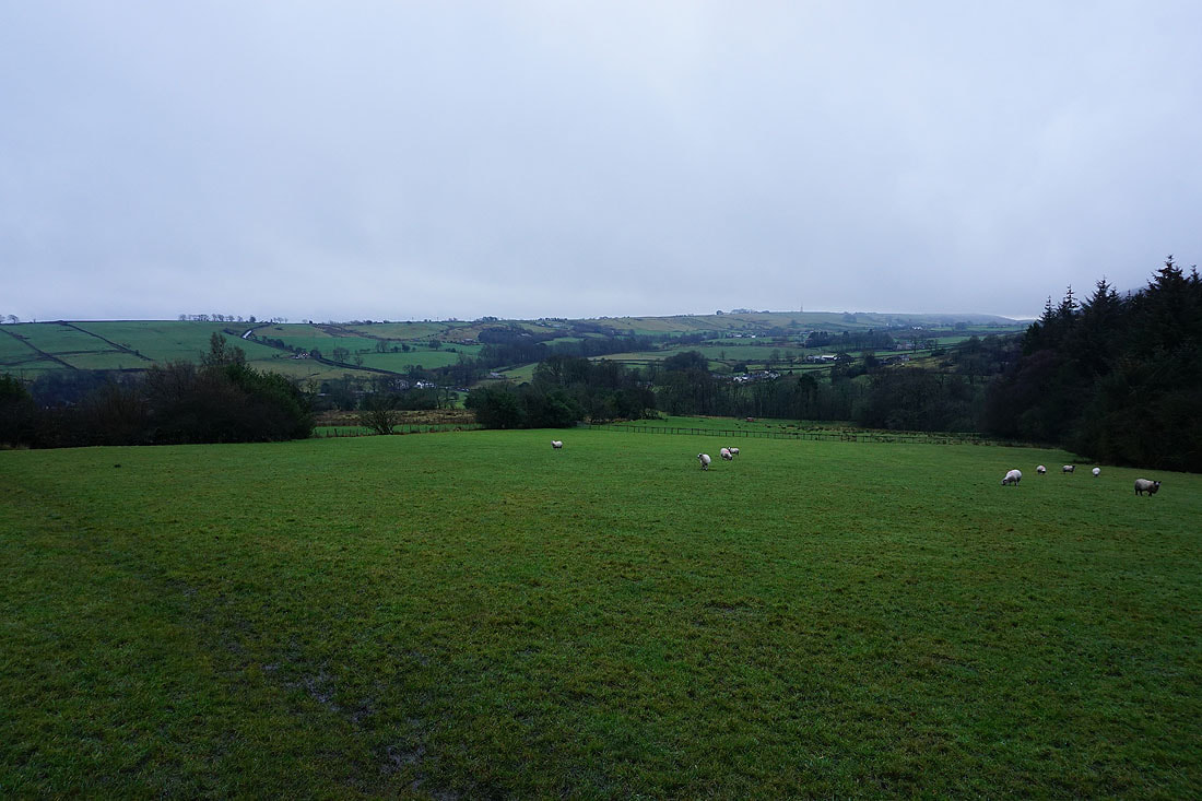
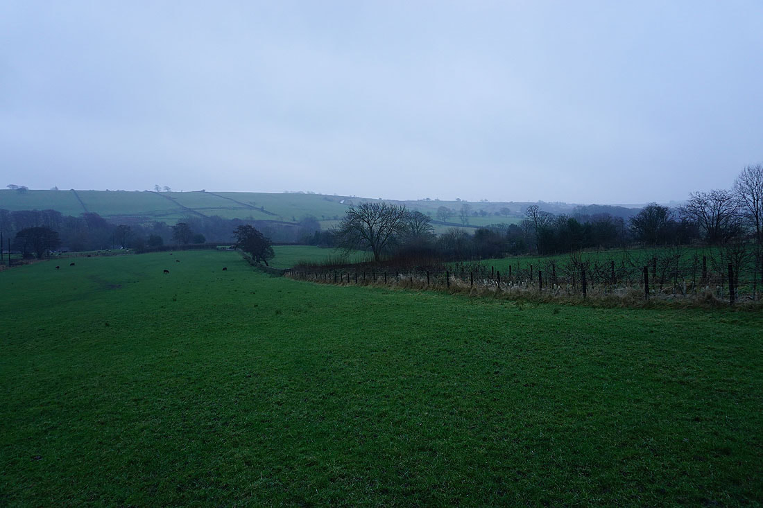
Gloomy skies across to Spen Height as I head back to Barley
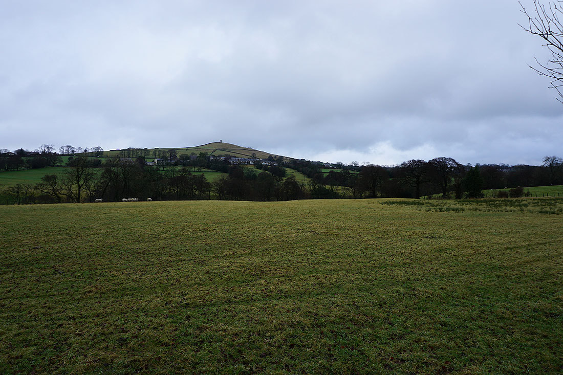
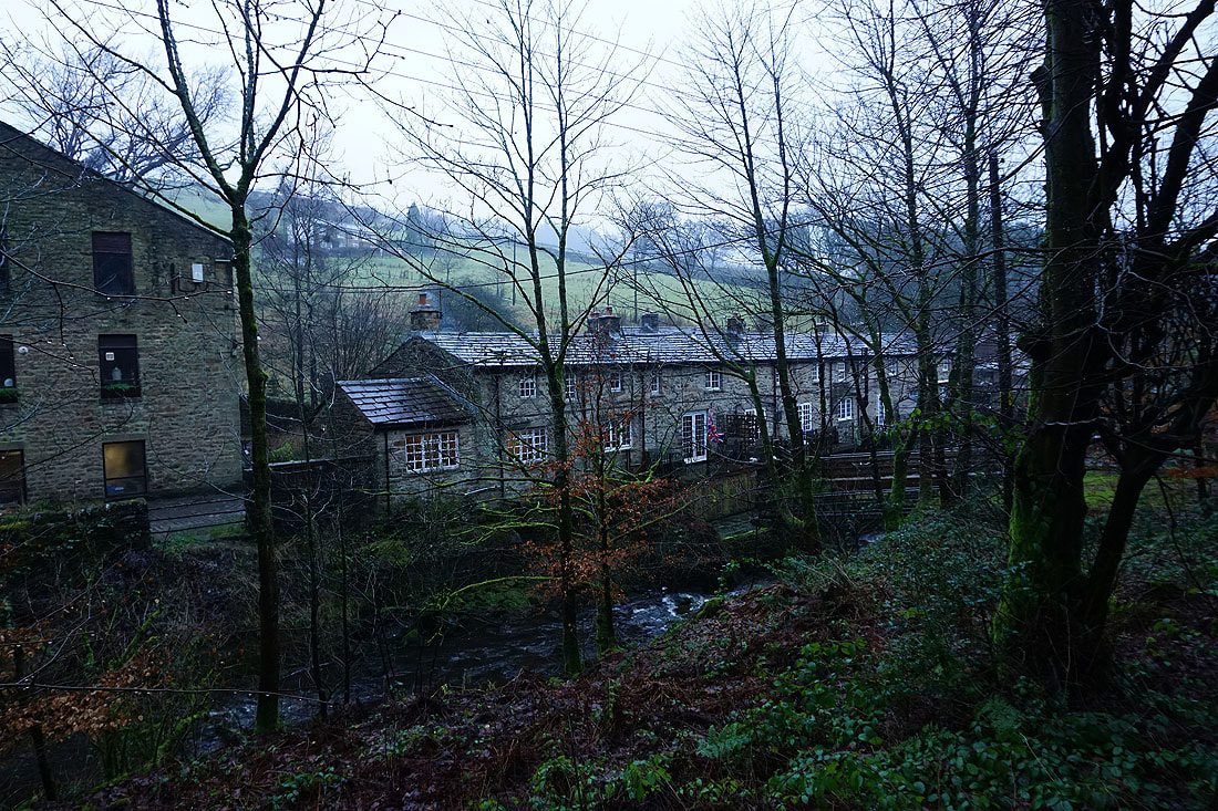
Back in Barley and it's dark end to a gloomy day
