5th July 2014 - Melmerby Fell
Walk Details
Distance walked: 11.1 miles
Total ascent: 2169 ft
OS map used: OL31 - North Pennines
Time taken: 6 hrs
Route description: Melmerby-Ousby-Townhead-Bank Hall-Maiden Way-Muska Hill-Maiden Way-Meg's Cairn-Melmerby Fell-Knapside Hill-Melmerby
I've had this walk in the North Pennines on my "to do" list for some time but every time I remembered it the weather just wasn't good enough. You do need a fine day to appreciate the scenery up here.
I decided to get the road walking out of the way at the beginning of the day so from Melmerby I followed the lane out of the village towards Ousby and then on to its end at Townhead. I then continued on the bridleway towards Kirkland before taking the track to Bank Hall. I then followed the Maiden Way up Melmerby Fell with a short detour to the top of Muska Hill. At Meg's Cairn I headed for the top. From Melmerby Fell there was a short walk north to the top of Knapside Hill. To head down I walked west from the summit to reach a gate at a collection of sheepfolds. A track then winds its way down the fellside to reach the end of a lane which I followed back into Melmerby.
Route map
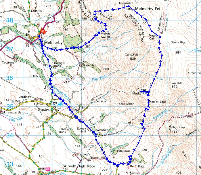
© Crown copyright. All rights reserved. License number PU 100034184.
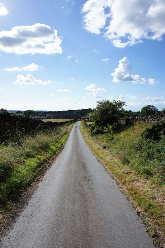
Looking back as I leave Melmerby behind
Melmerby Fell in the sun
The dark mass of Cross Fell
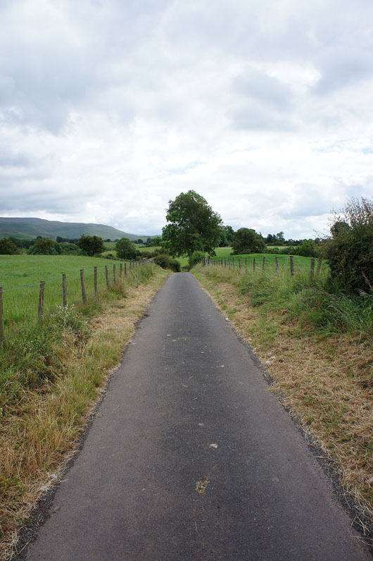
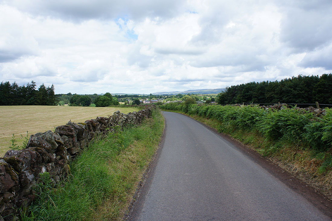
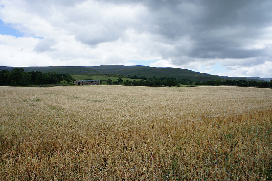
I've got a few miles to go but the roads are very quiet
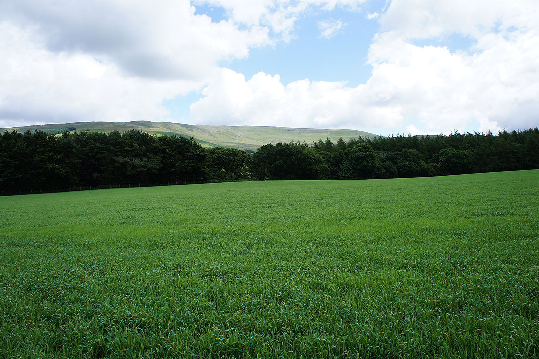
The first of many opportunities today to take a picture of the Lakeland fells on the other side of the Eden valley
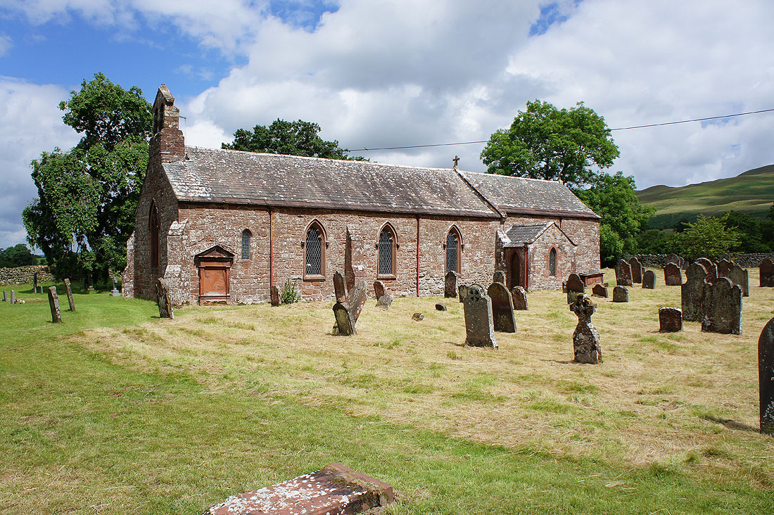
The church of St. Luke's, Ousby. The red sandstone so characteristic of the area gives the buildings a warm glow in the sunshine.
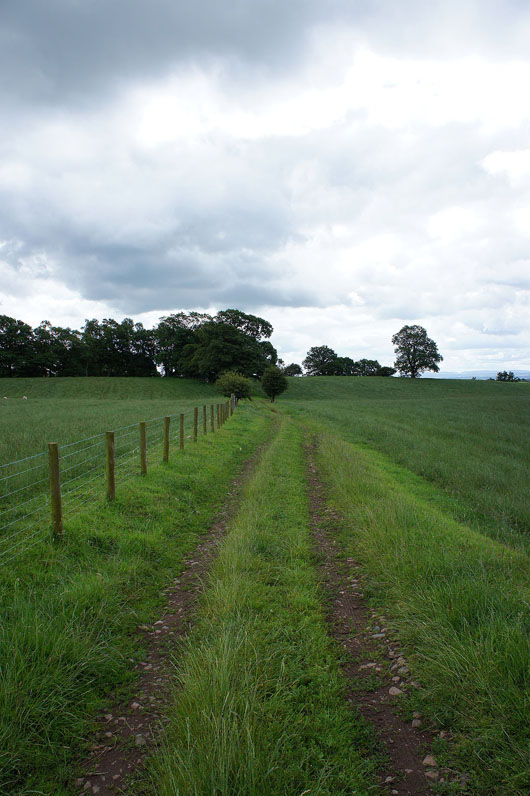
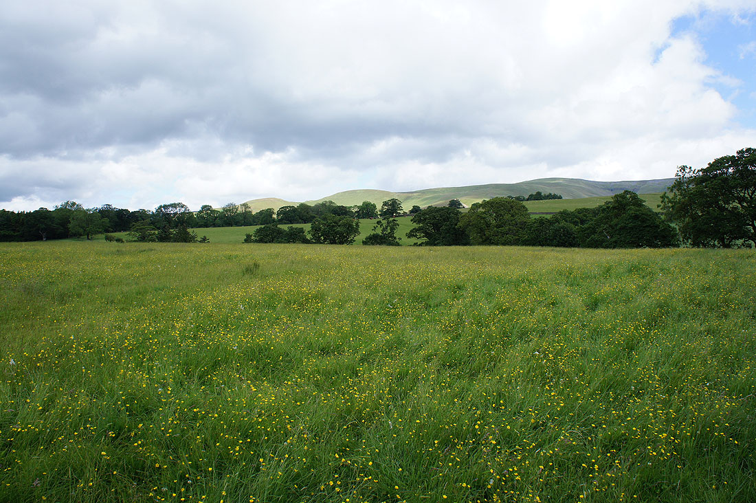
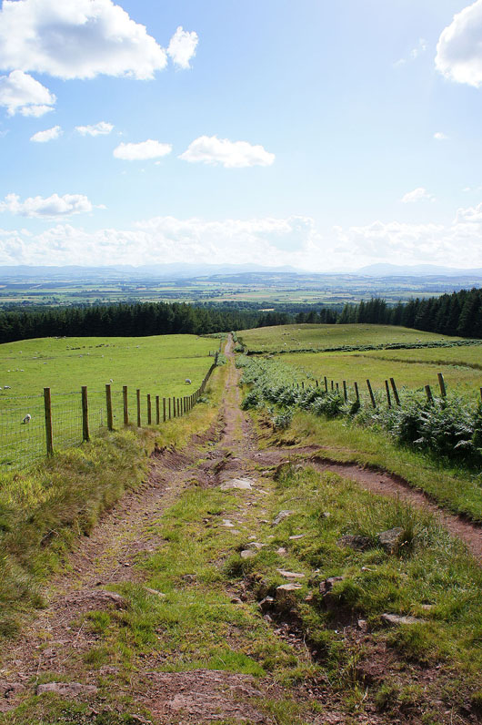
Off the road at last and following the bridleway to Kirkland
Cross Fell still looks dark and brooding
But it's brighter to the north where I'll be heading
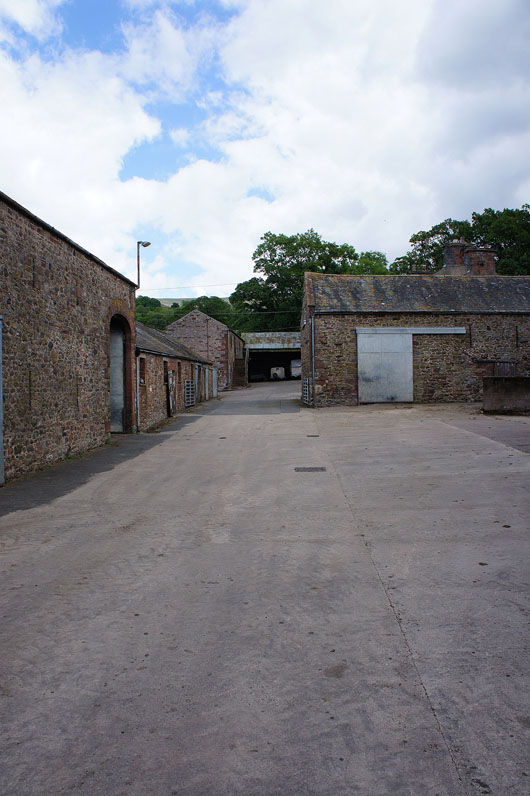
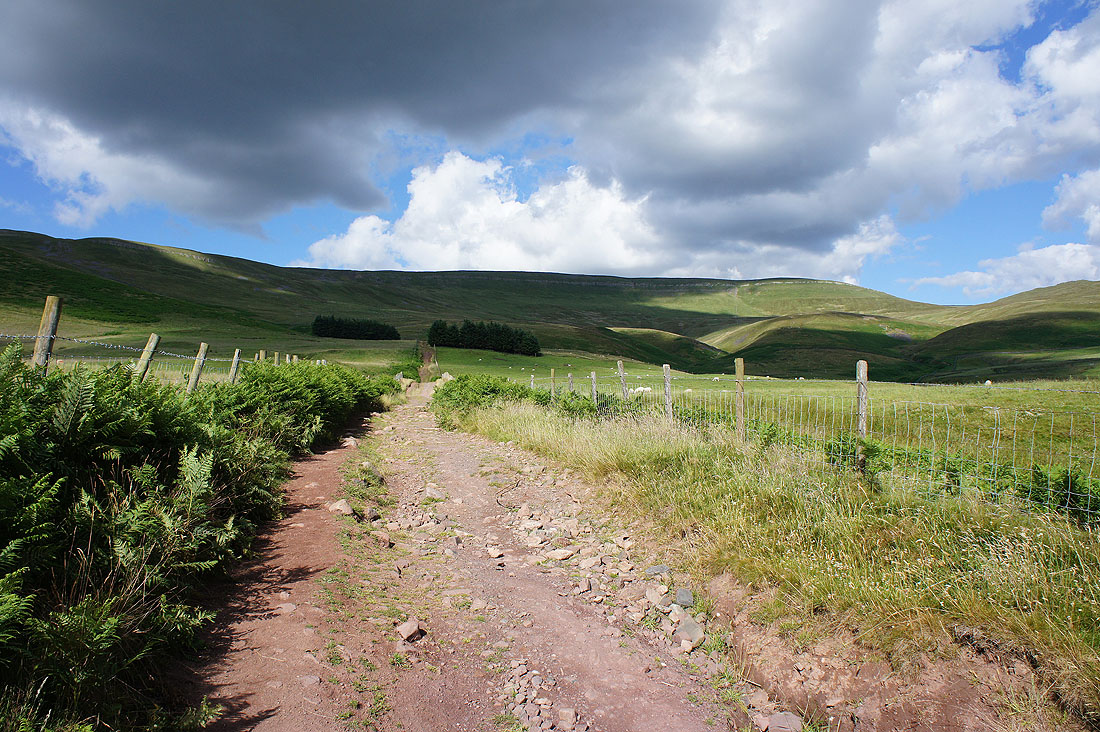
Through the farmyard at Bank Hall and onto the Maiden Way
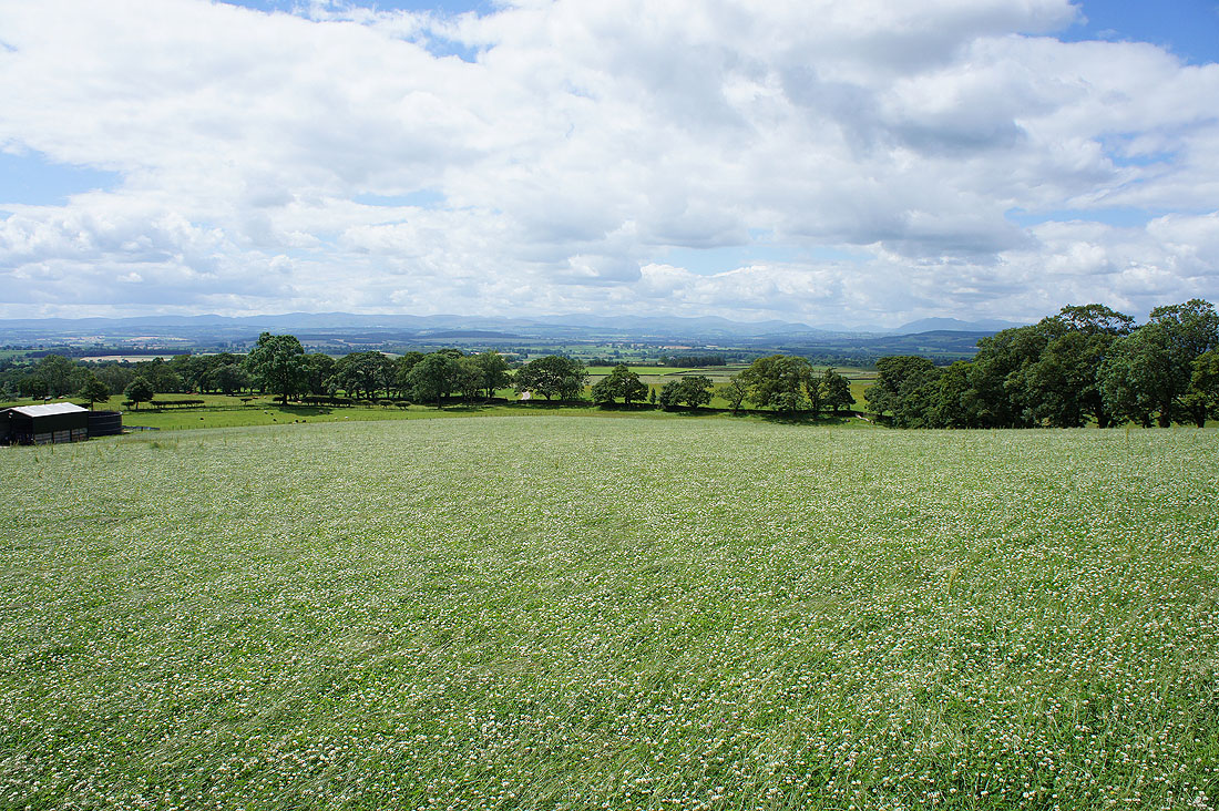
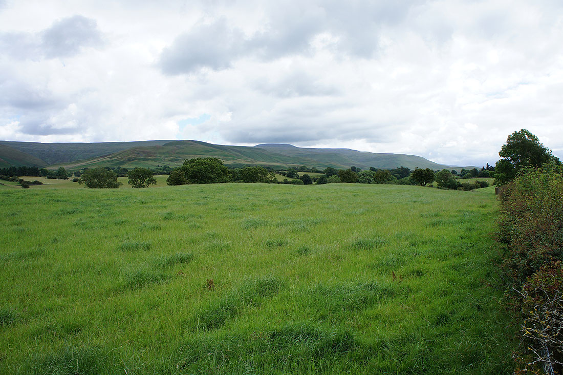
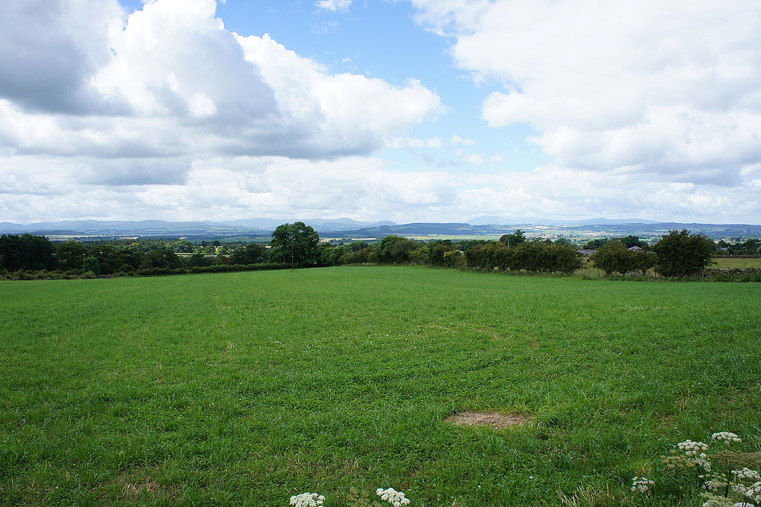
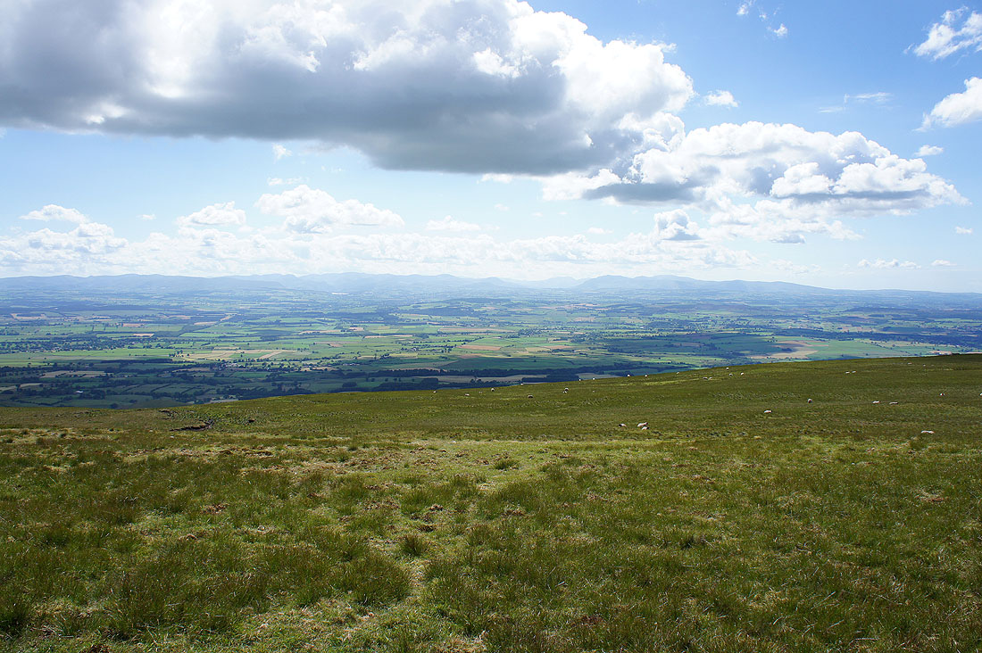
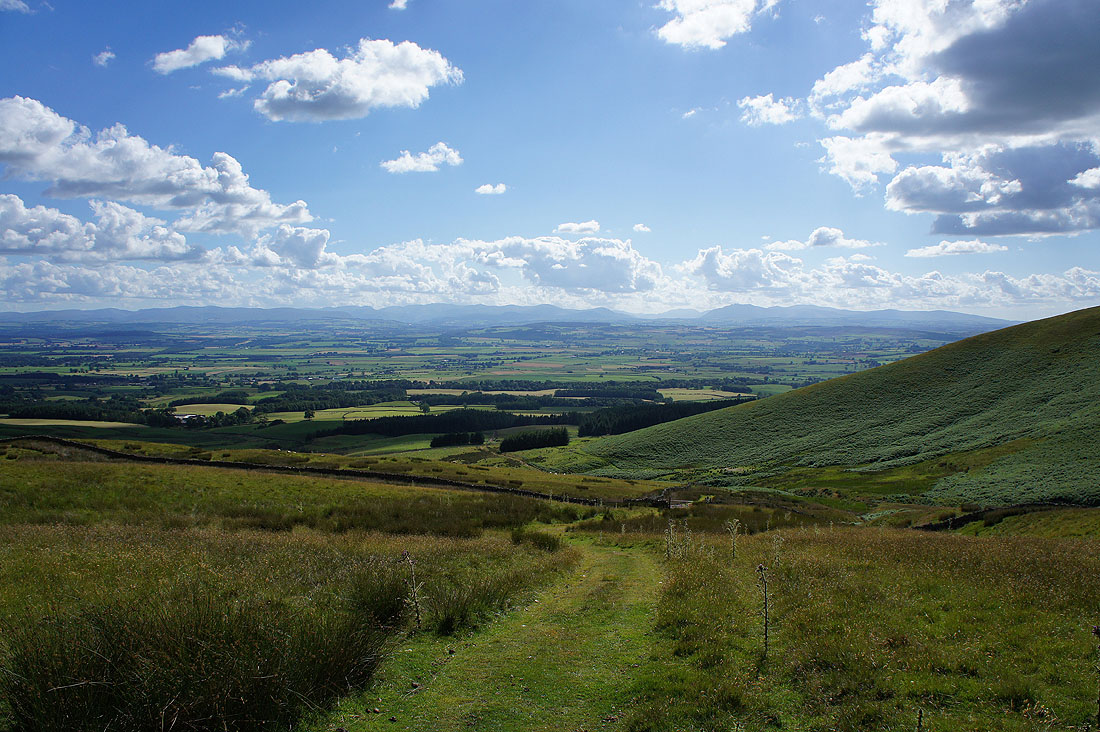
Just above Bank Hall and the view opens out. Looking across the Eden valley to the Lakes..
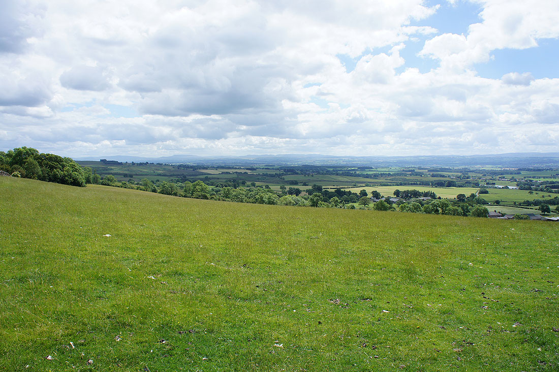
..and south to Wild Boar Fell and the Howgills
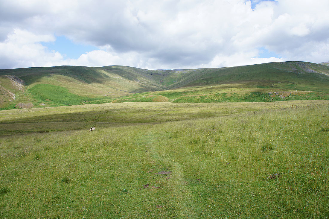
From its appearance on the map you'd expect the Maiden Way to be a distinct and obvious path. In parts it's anything but. Ahead it goes down and across Ardale then up the hillside on the left.
|
|
Down and across Ardale Beck and then up the gulley. There seems to be a slightly raised grassy bank going up it.
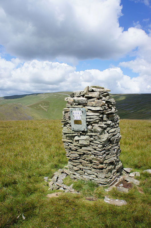
This well built cairn on Muska Hill had me making a short diversion to take a look. The plaque is in memory of Muska, a Retriever.
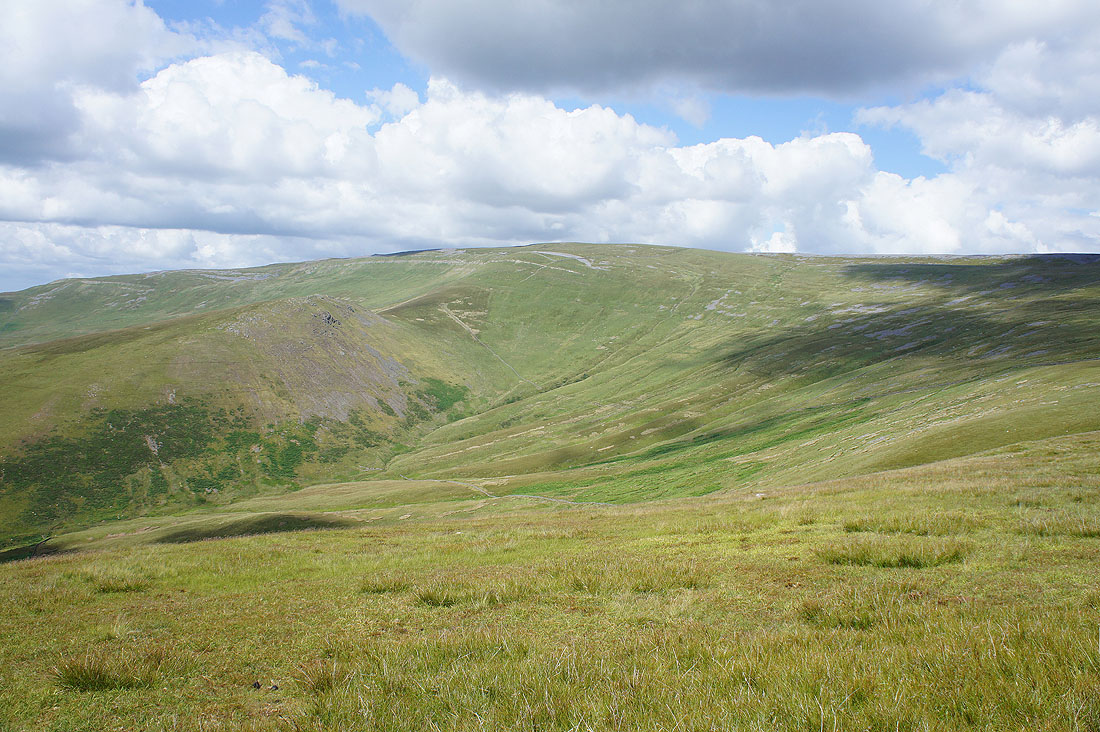
Cuns Fell and Melmerby Fell across Ousbydale
Back on the Maiden Way
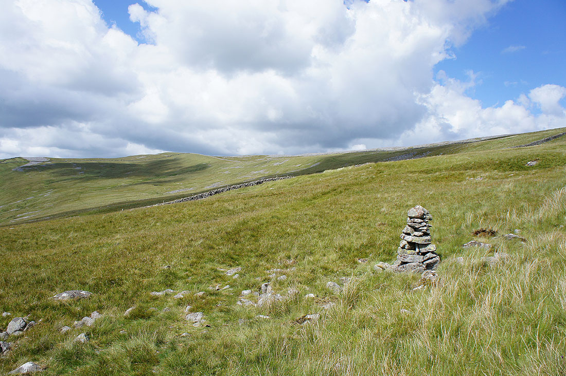
Meg's Cairn. My cue to leave the Maiden Way and head for the top of Melmerby Fell.
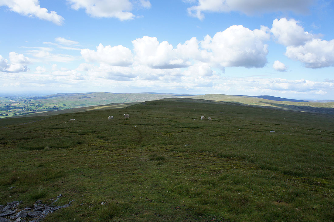
Views from the summit of Melmerby Fell. Looking north to Thack Moor, Black Fell and Grey Nag on the other side of the Hartside Pass.
The moors above Alston and the River South Tyne to the east
Cross Fell rises to the south
and to the west are the Lakeland fells
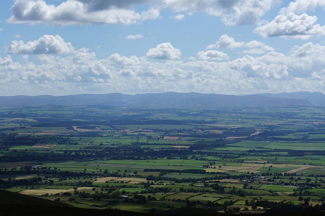
Zooming in on High Street and the far eastern fells
Fairfield, Helvellyn and the Dodds. I can even make out a little bit of Ullswater.
Blencathra, Skiddaw and the other northern fells. The visibility is good enough to make out Crag Hill, Grasmoor and Grisedale Pike through the Keswick-Penrith gap.
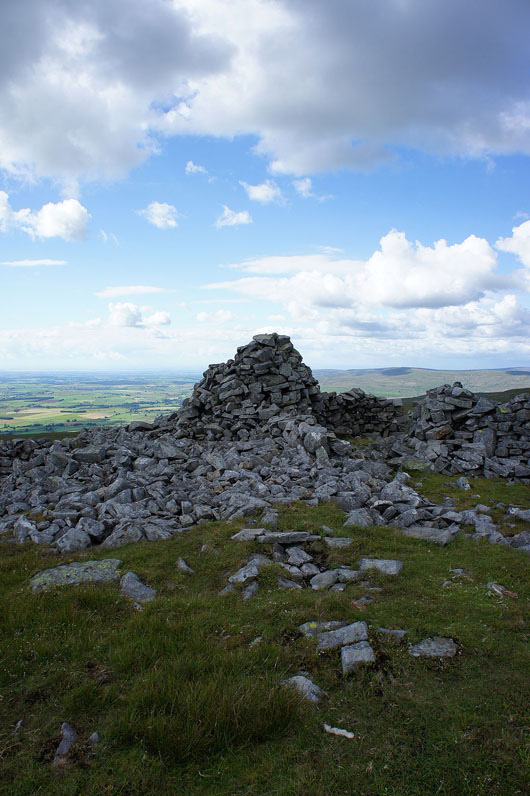
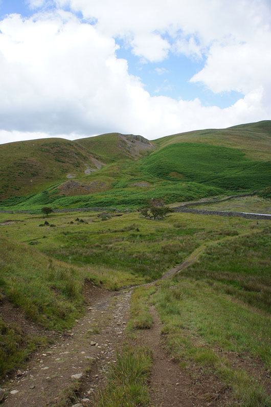
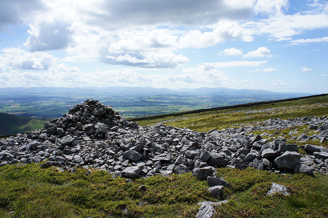
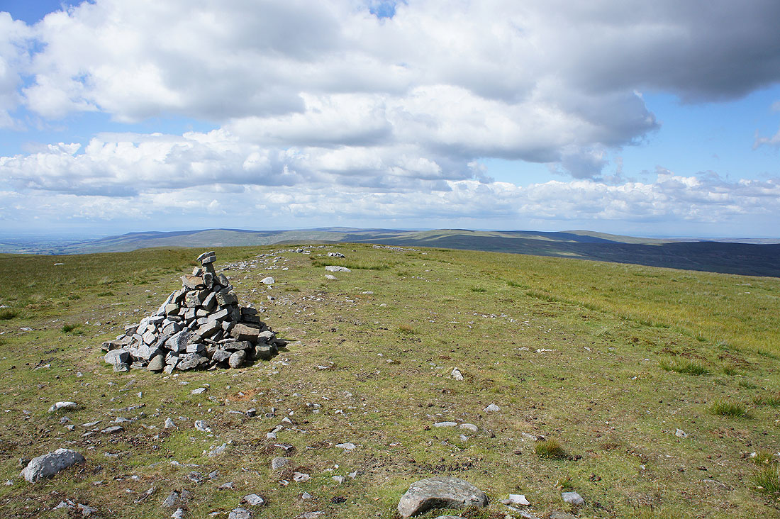
The large shelter cairn on nearby Knapside Hill is reached
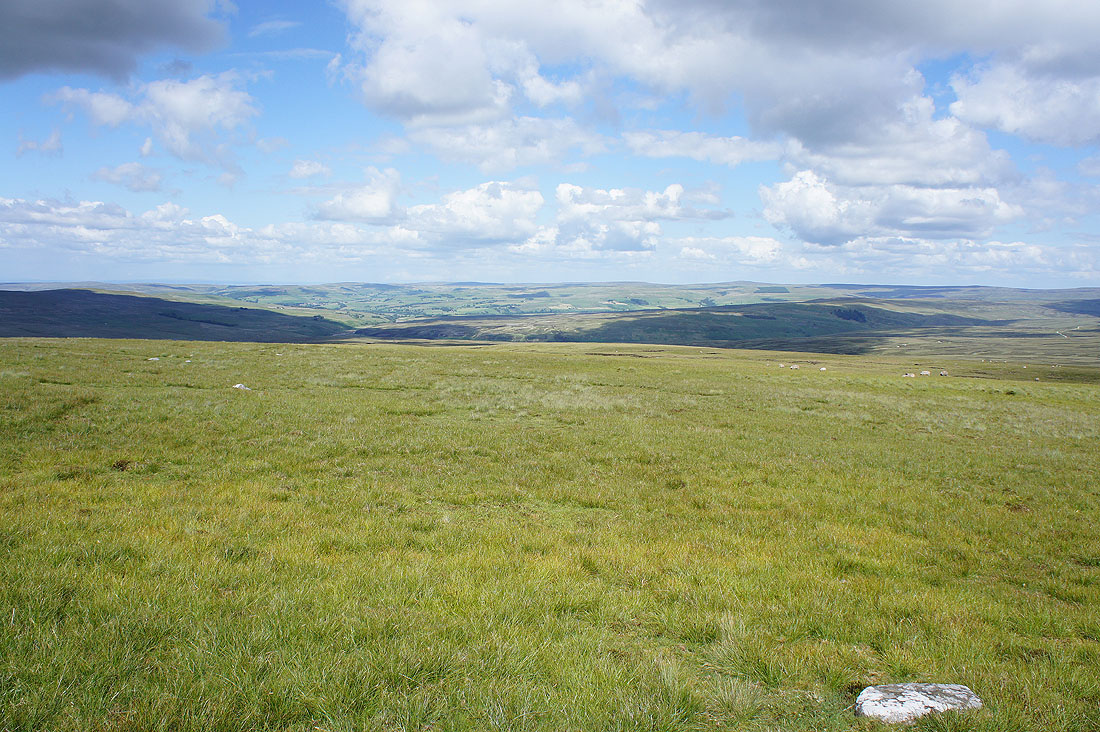
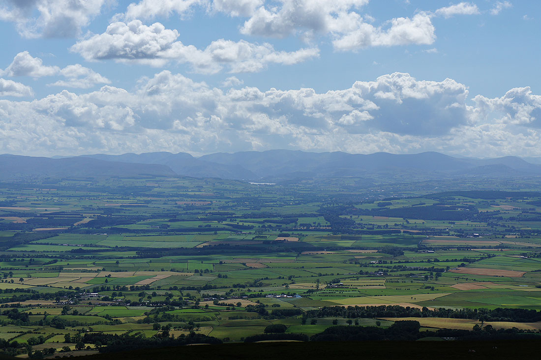
Looking north to Fiends Fell and across the Hartside Pass
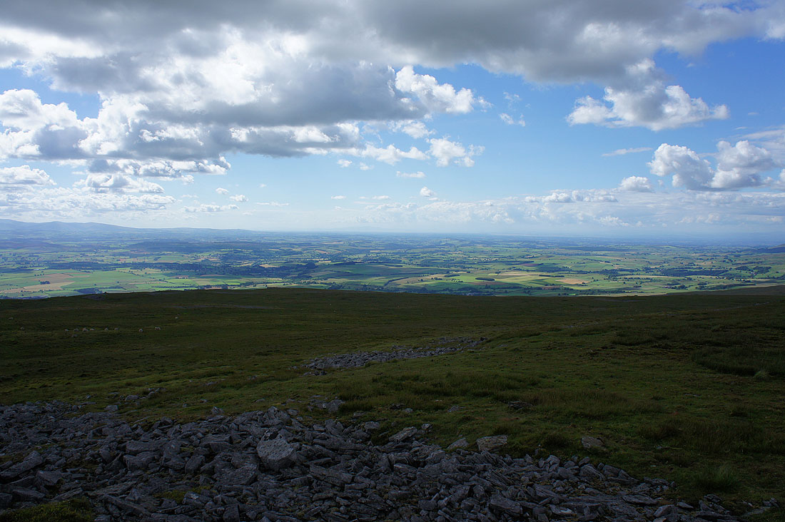
The Solway Firth can be made out looking to the northwest
Zooming in on Criffel
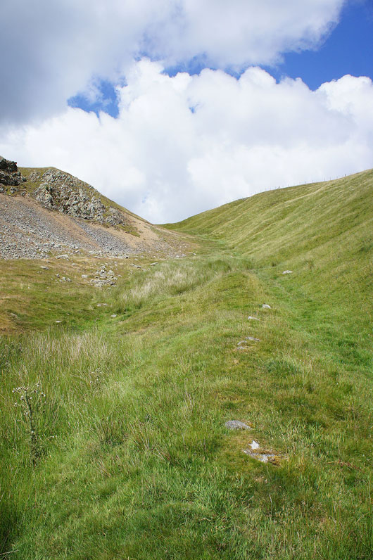
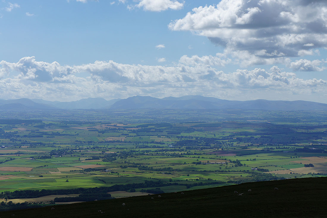
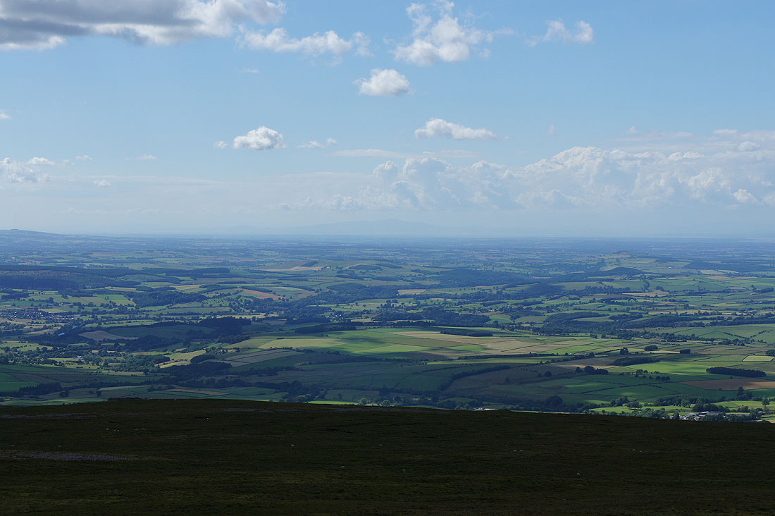
As I follow the track down off Knapside Hill there are great views as it contours across the side of the fell. Looking south up the Eden valley to Wild Boar Fell and the Howgills.
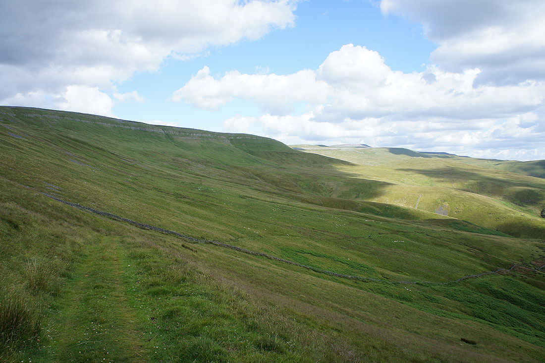
Below Melmerby High Scar
A long line of Lakeland fells
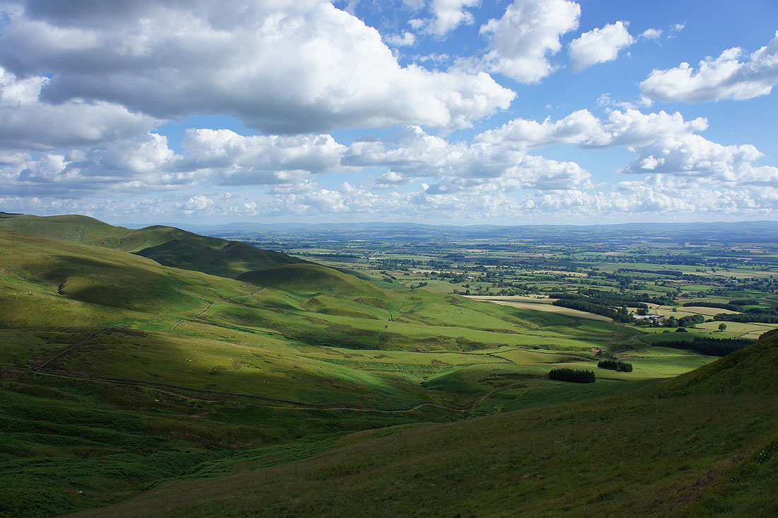
The track continues down through Rake Beck Wood
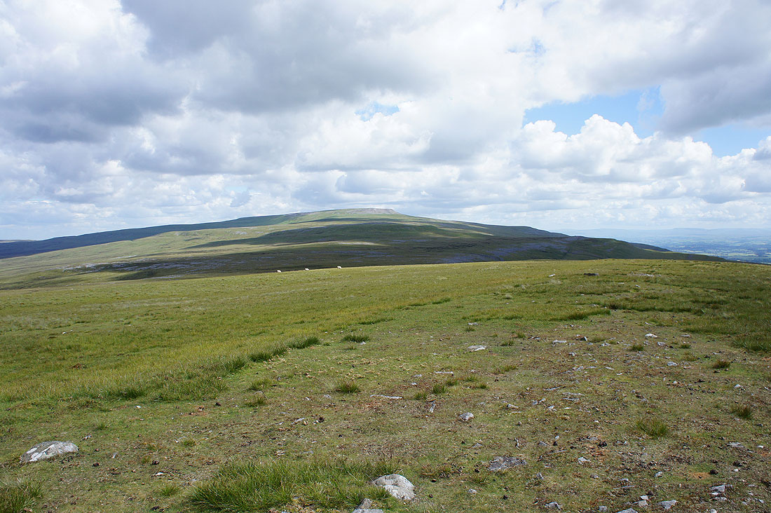
A last look back at Melmerby Fell
Buildings in sight. Not far to go.
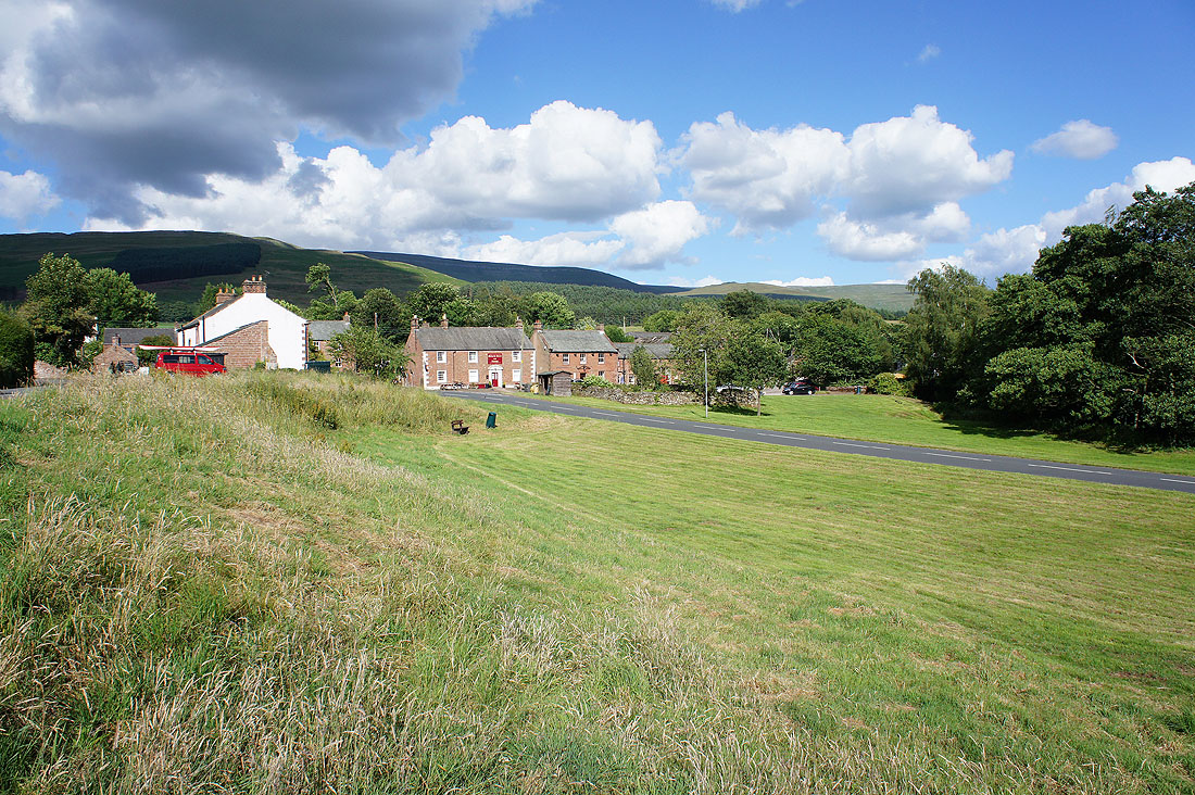
Back in Melmerby at the end of another fine afternoon