5th March 2022 - Aye Gill Pike
Walk Details
Distance walked: 12.2 miles
Total ascent: 1715 ft
OS map used: OL2 - Yorkshire Dales, Southern & Western areas
Time taken: 6.5 hrs
Route description: Dent-Dales Way-Barth Bridge-Lunds Farm-Long Moor-Aye Gill Pike-Snaizwold Fell-Dockra Bridge-Cowgill-Ewegales Bridge-Dales Way-Church Bridge-Dent
Two fine weekends in a row. I wait ages for one, and then another comes along straight away. I'll stay close to home for tomorrow's walk but for today's I decided on Dent in Dentdale for my destination, with two routes in mind, this one or to head up Whernside. I opted for Aye Gill Pike thinking that it was too windy for going up Whernside, and that it was nearly five years since I last did this route. Ironically, two weeks later I did Whernside from Dent, and it was a windier day. I had a fine spring day for this walk, with sunny spells, fair weather clouds, and great visibility for appreciating the fantastic all-round views from the top of Aye Gill Pike.
From the car park in Dent I walked west along the road out of the village to pick up the trail of the Dales Way which I then followed to Barth Bridge. I left the trail here to cross the bridge and take the lane on the right uphill to Lunds Farm, and from there the bridleway onto Long Moor. The moorland crossing of Aye Gill Pike, Rise Hill and Snaizwold Fell came next, keeping to the north side of the wall that runs across the top except when I visited the trig point on Aye Gill Pike (lunch was taken here). From Snaizwold Fell I continued to follow the summit wall east until I reached the Garsdale to Dentdale bridleway. I turned right here and walked down the bridleway to reach the hamlet of Cowgill in Dentdale. After crossing Ewegales Bridge I walked west along the road on the south side of the dale (with a brief detour down to the River Dee at Ibbeth Peril) until I reached the Dales Way. I took the trail and kept on it to Church Bridge just outside Dent, where I left it for a short walk back up into the village.
Route map
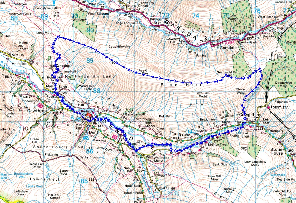
© Crown copyright. All rights reserved. License number PU 100034184.
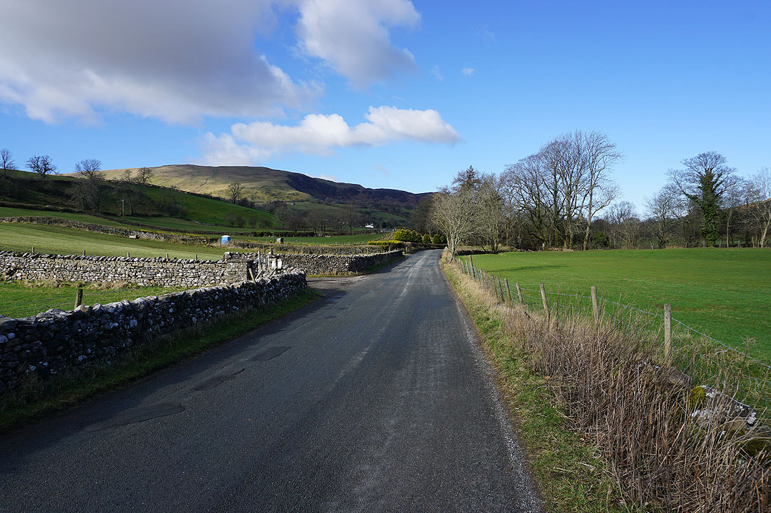
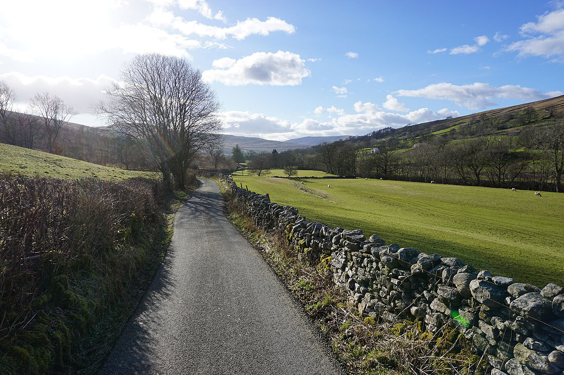
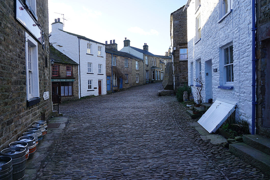
Setting off from the village of Dent
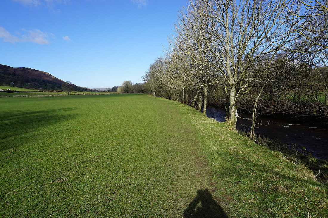
I have a view of Middleton Fell to my left as I follow the trail of the Dales Way to Barth Bridge..
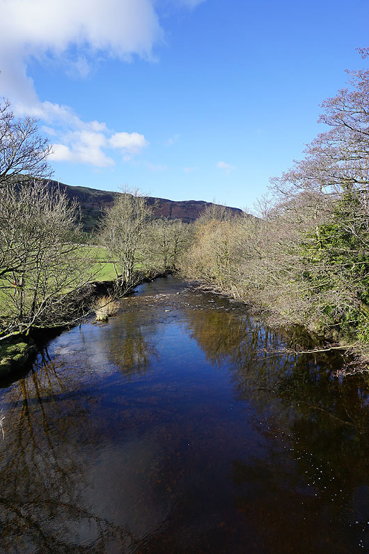
The River Dee from Barth Bridge
|
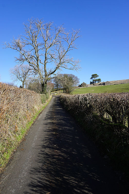
On the lane up to Lunds Farm
|
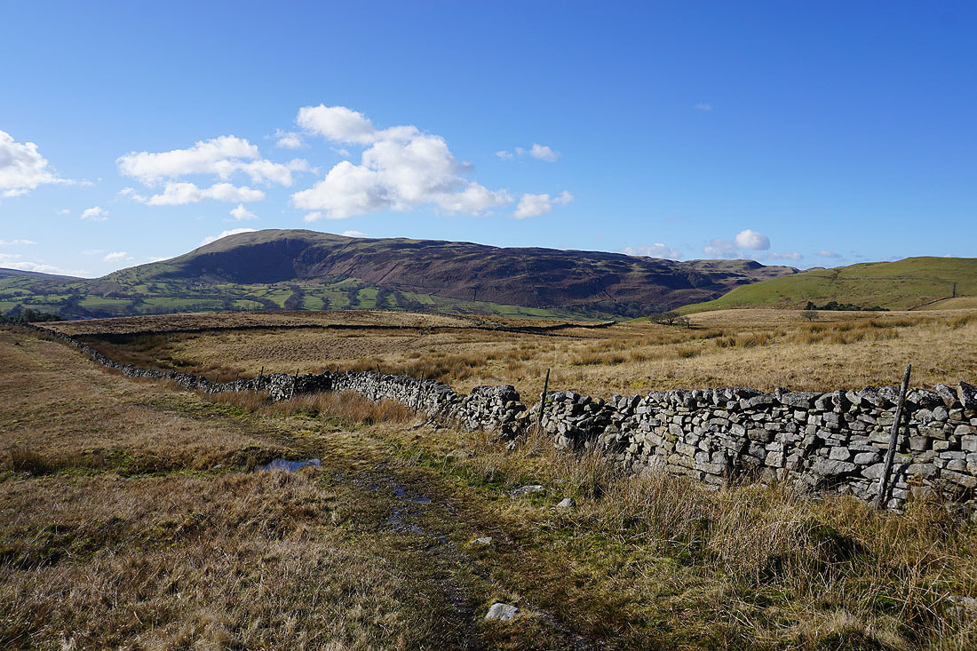
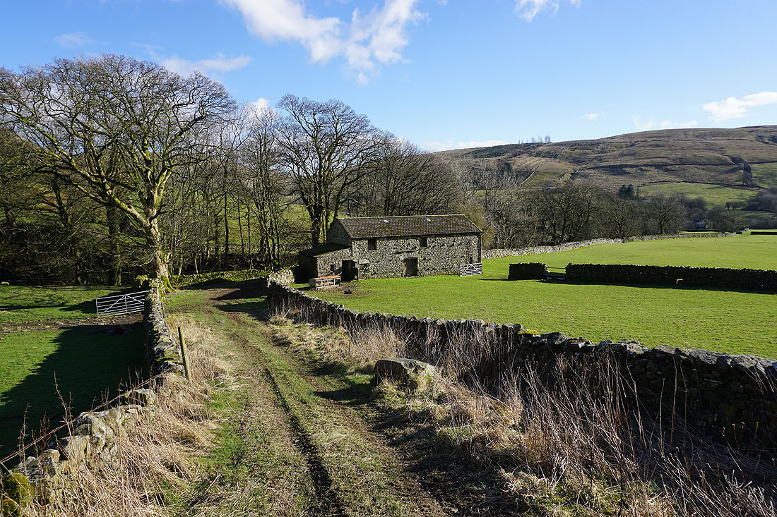
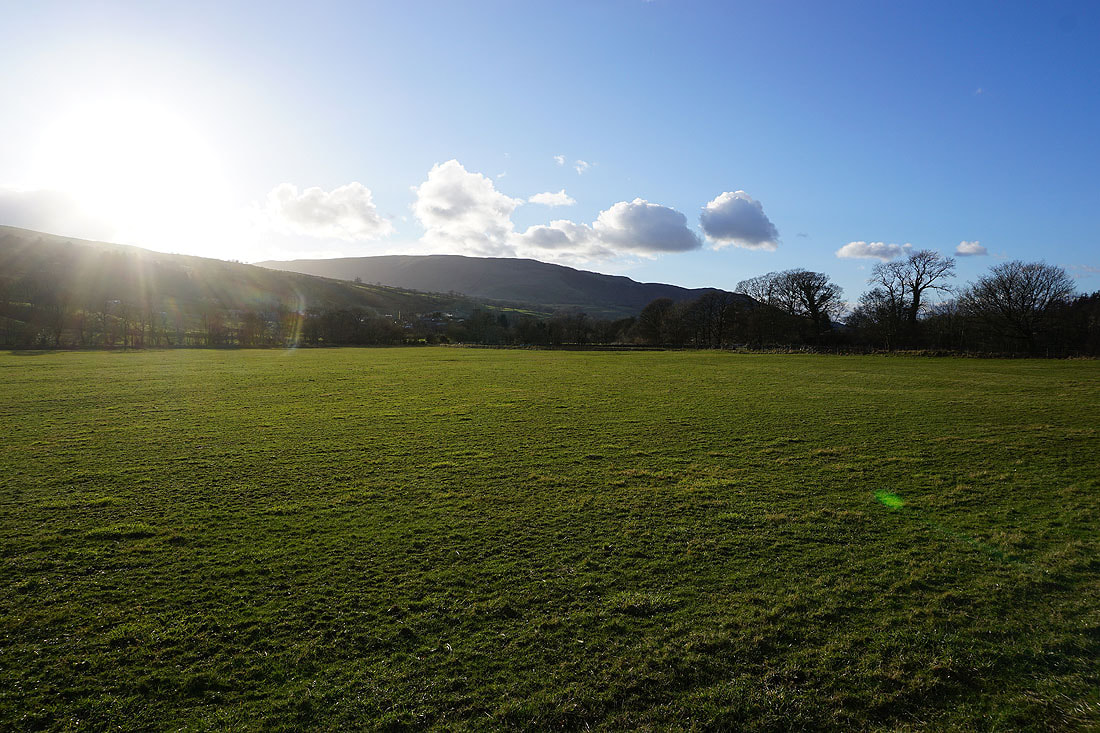
From Lunds Farm I take the bridleway north up onto Long Moor..
Turning round to see Middleton Fell behind me..
..as well as Whernside and Great Coum
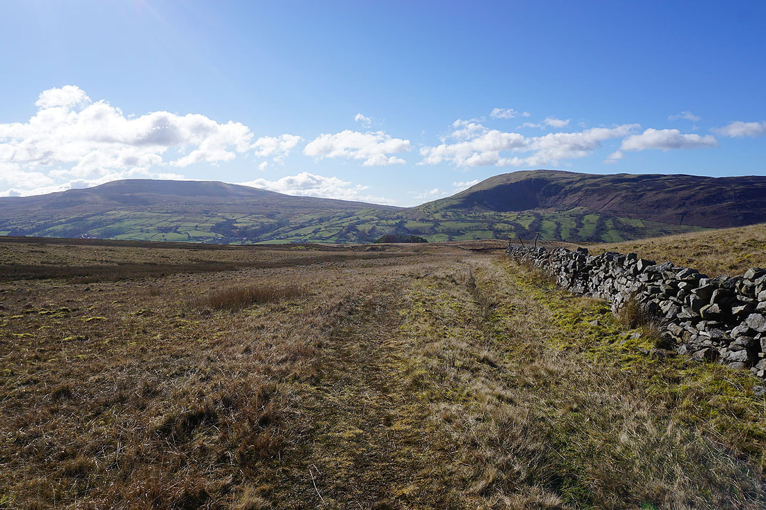
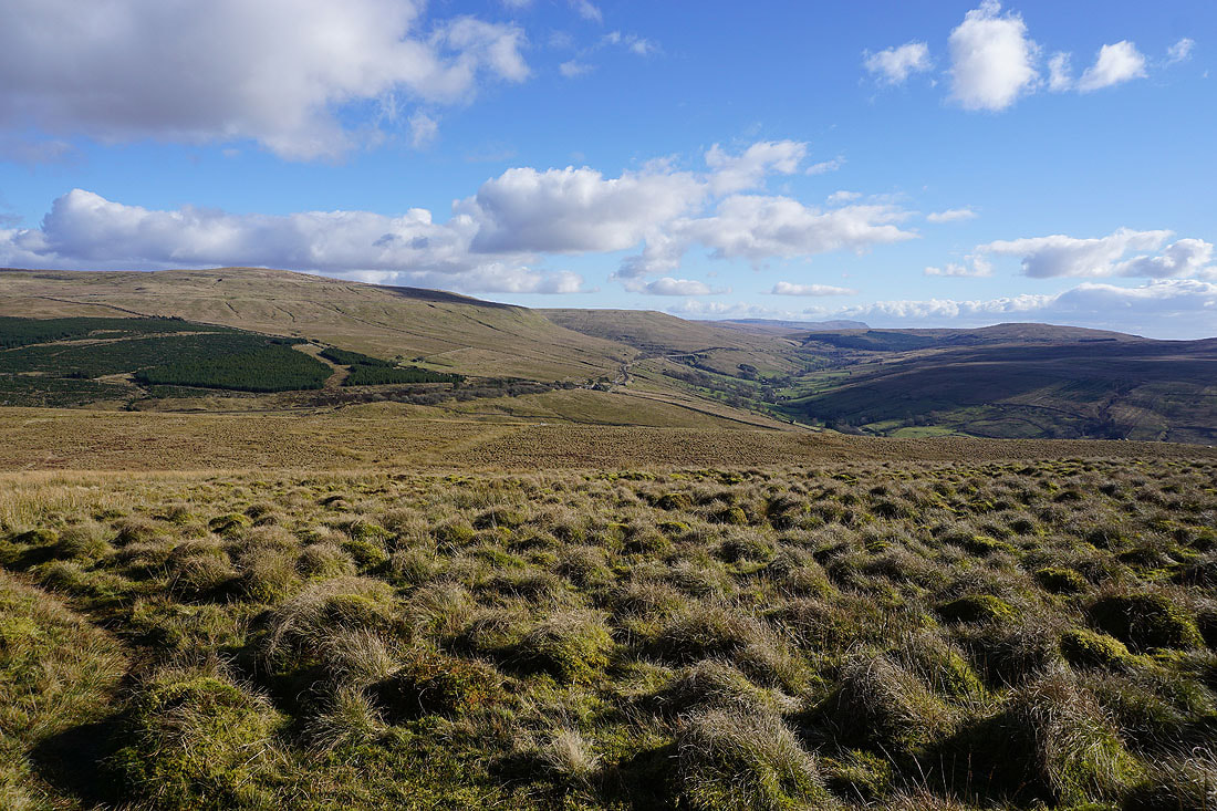
Hints of the Howgills as the bridleway approaches its summit on Long Moor
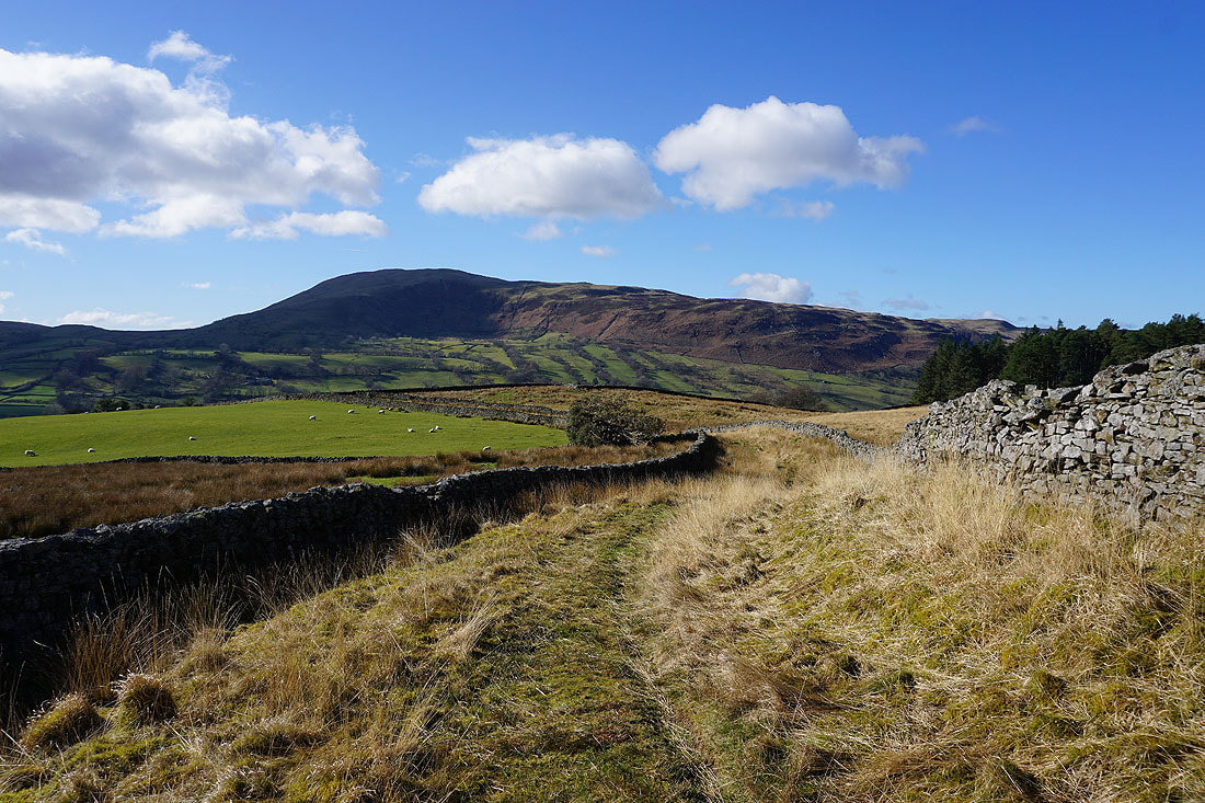
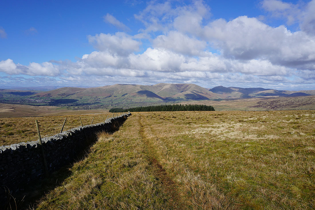
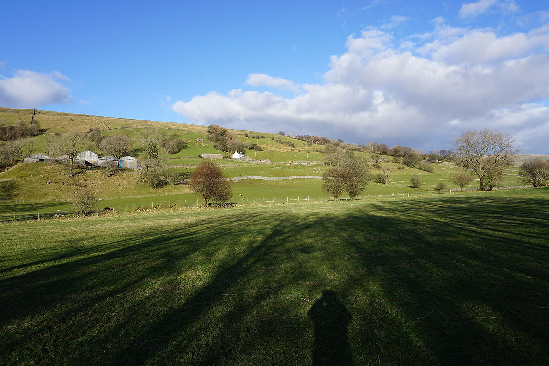
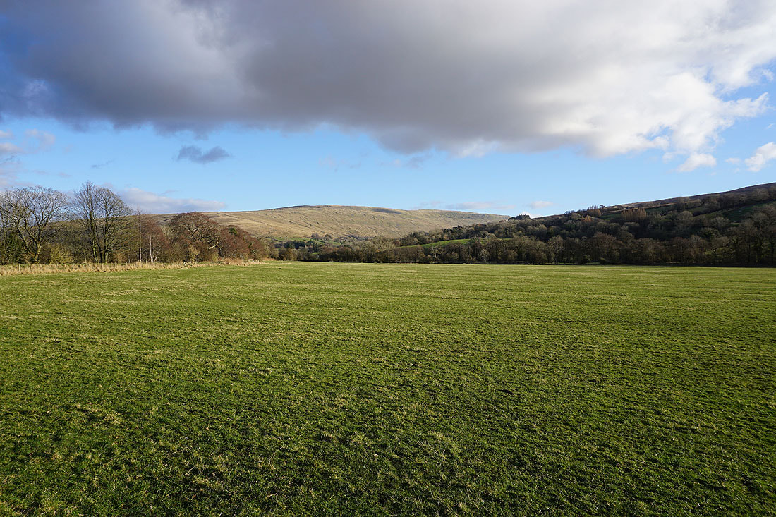
At the top of the bridleway across Long Moor. To the west is the hill of Helms Knott. It's a shame that there's no access to it, I think it probably has a great view up Dentdale.
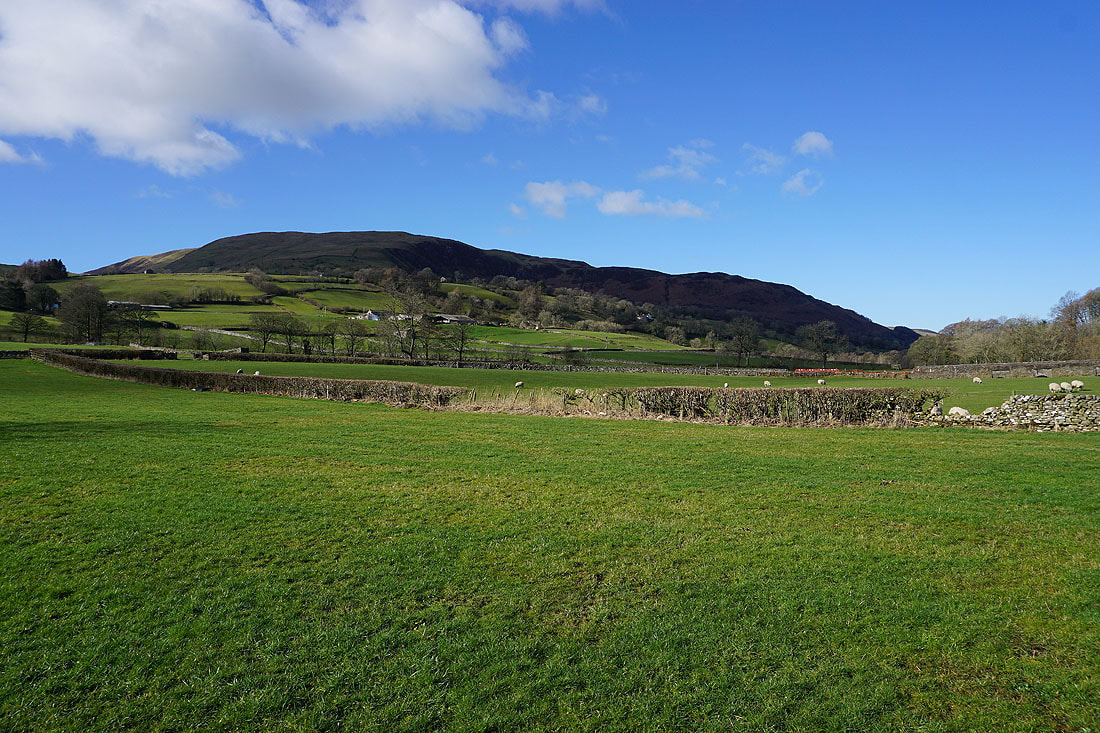
Middleton Fell
Great Coum and Middleton Fell
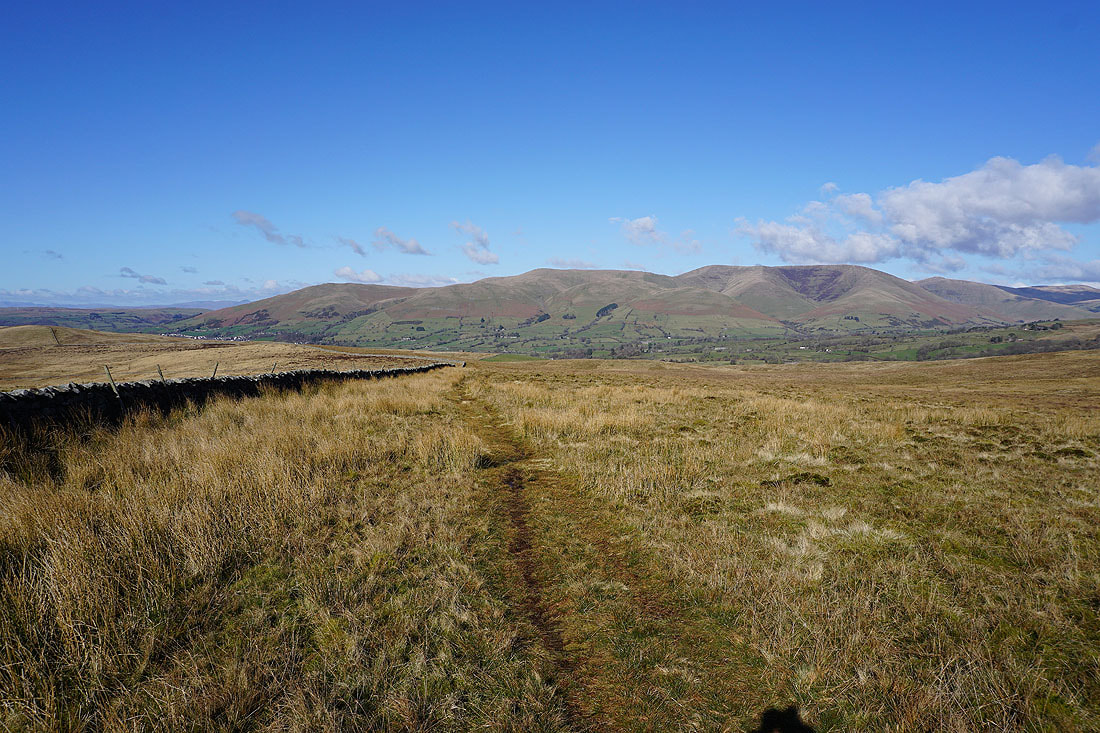
Finally, before I start my ascent of Aye Gill Pike, the Howgills
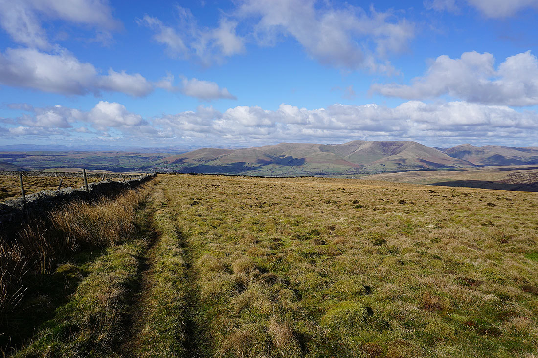
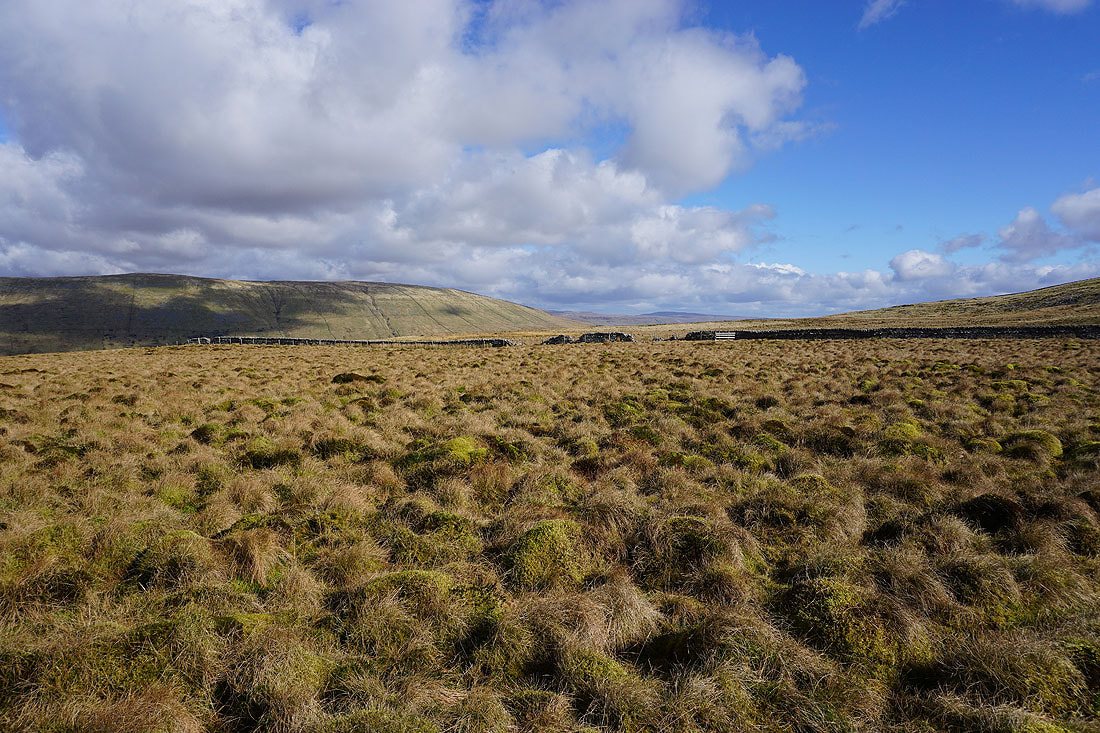
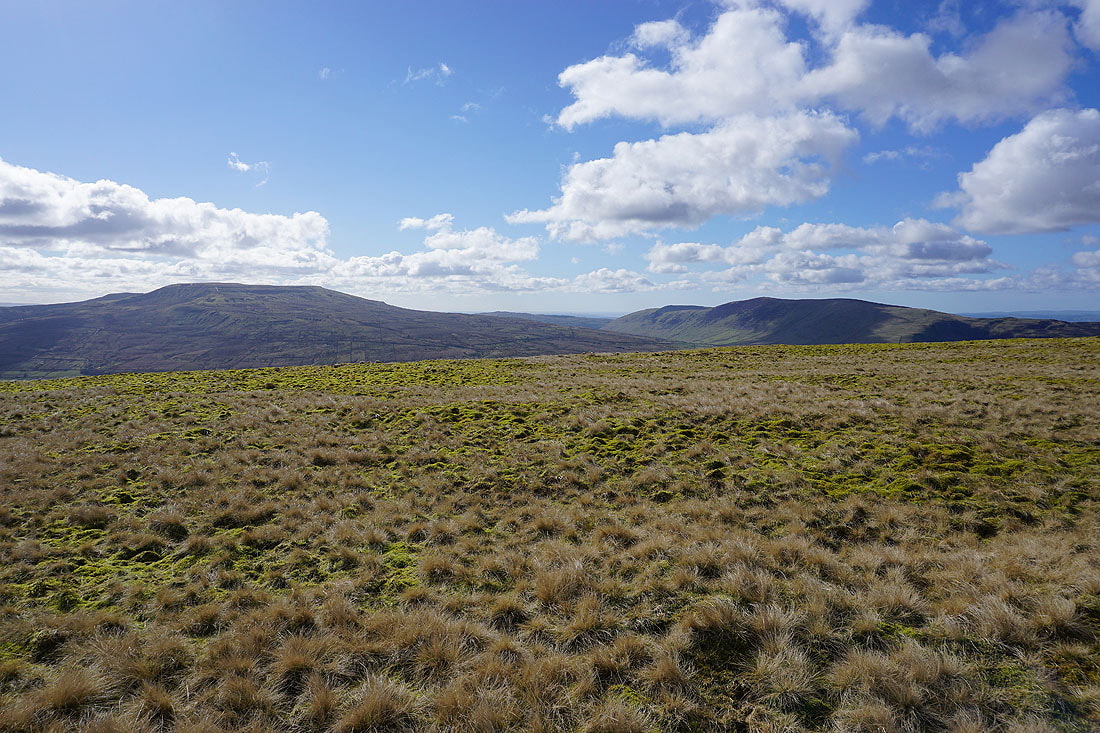
The broad slopes of Aye Gill Pike await. They may be dull and featureless but the views of the surrounding fells aren't. Behind me are increasingly expansive views to the Howgills and to the distant Lake District fells...

Yarlside and the eastern Howgills, and the western half of Baugh Fell
As I gain height I can see more of the Lake District in the distance beyond the nearby Howgills..
East Baugh Fell to the north
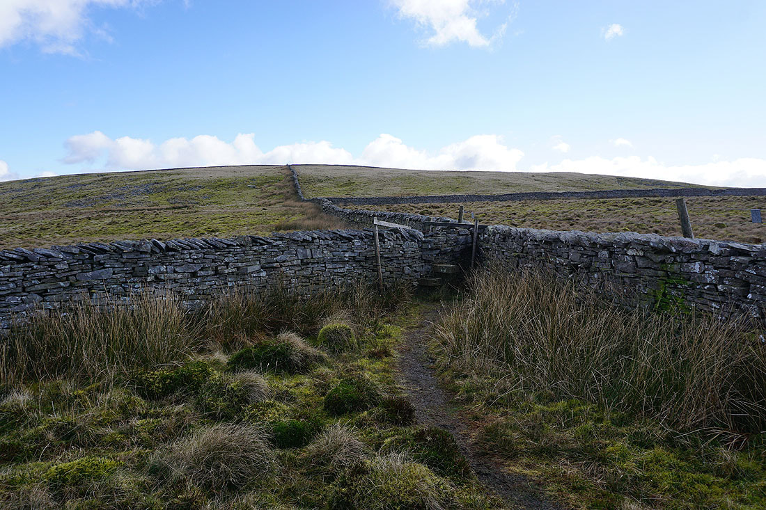
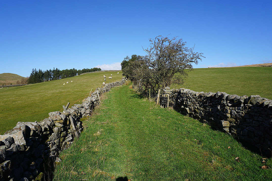
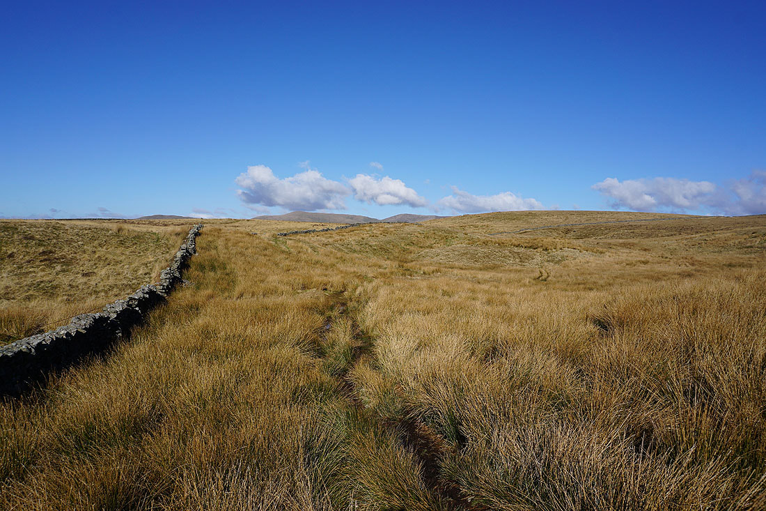
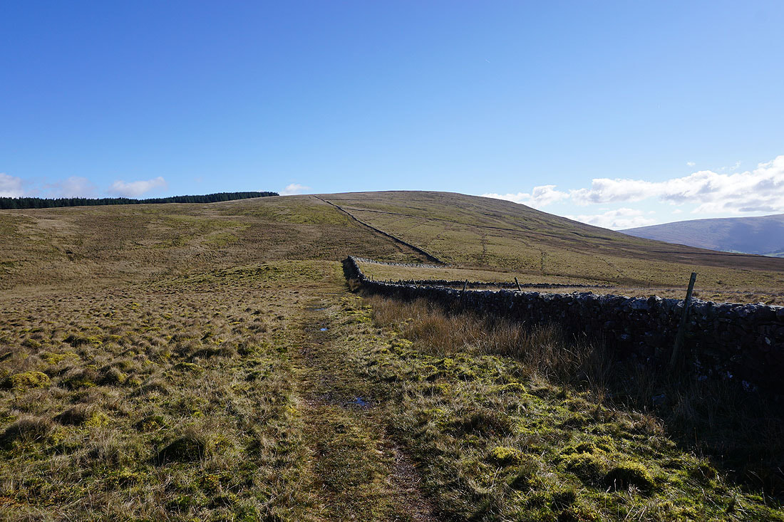
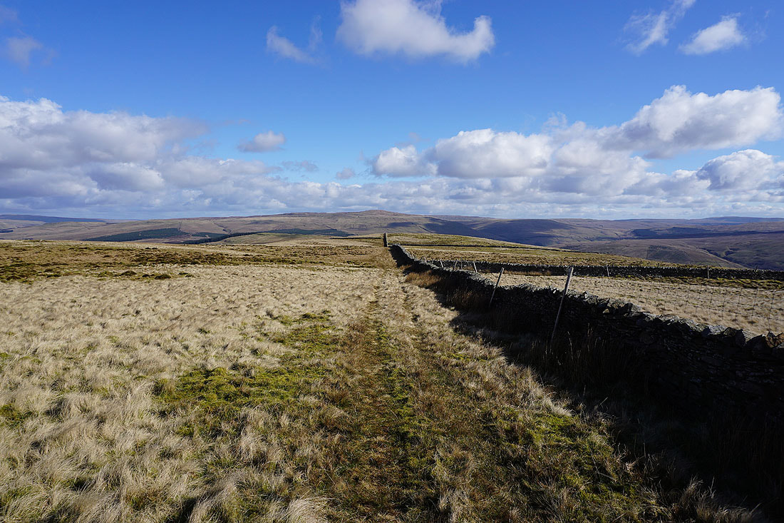
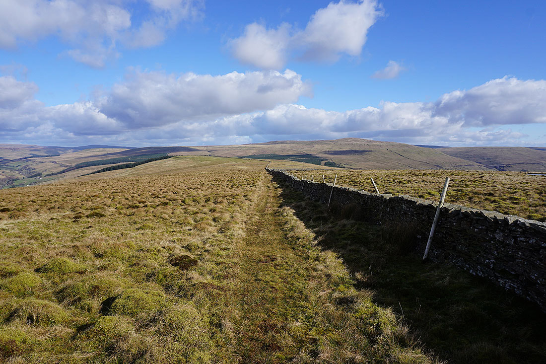
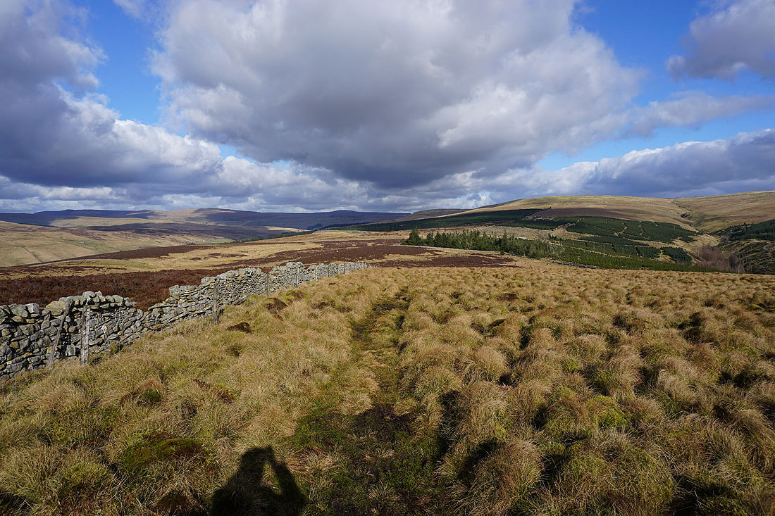
The northern side of the wall that runs across the top of Aye Gill Pike has stiles in place for crossing the walls that meet it
One last shot of that view to the west before I reach the top
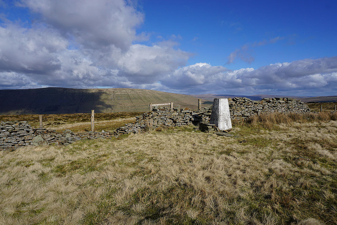
The trig point on the summit of Aye Gill Pike is finally in sight
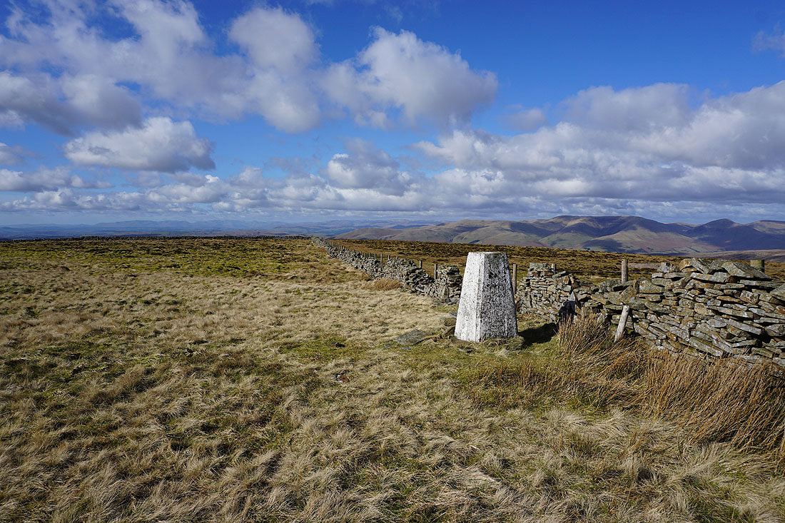
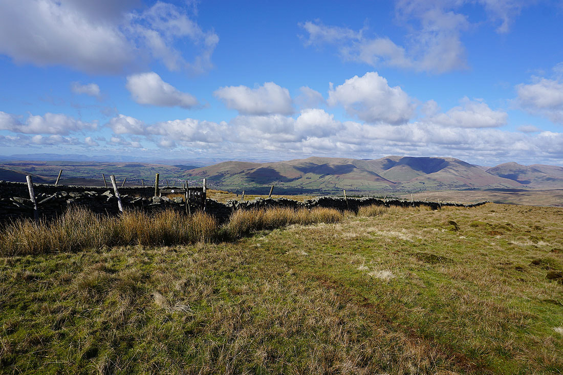
At the trig point on Aye Gill Pike. The wall will provide me with some shelter from the wind for my lunch break.
Although it's surrounded by higher fells, Aye Gill Pike has a great all-round view. To the east is Great Knoutberry Hill.
Going round clockwise, Penyghent and Whernside
Whernside and Great Coum
Great Coum and Middleton Fell
Baugh Fell to the north on the other side of Garsdale
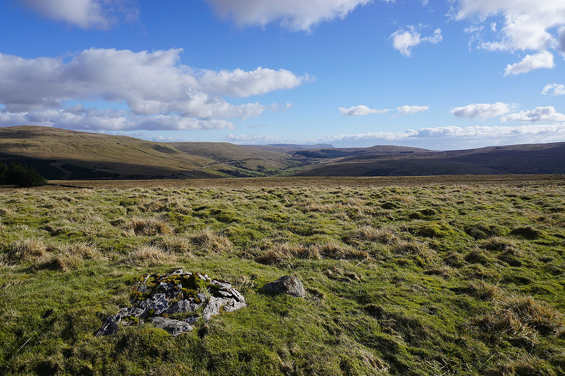
Great Shunner Fell and Lovely Seat in the distance on the left through the gap of Garsdale Head, with Great Knoutberry Hill on the right
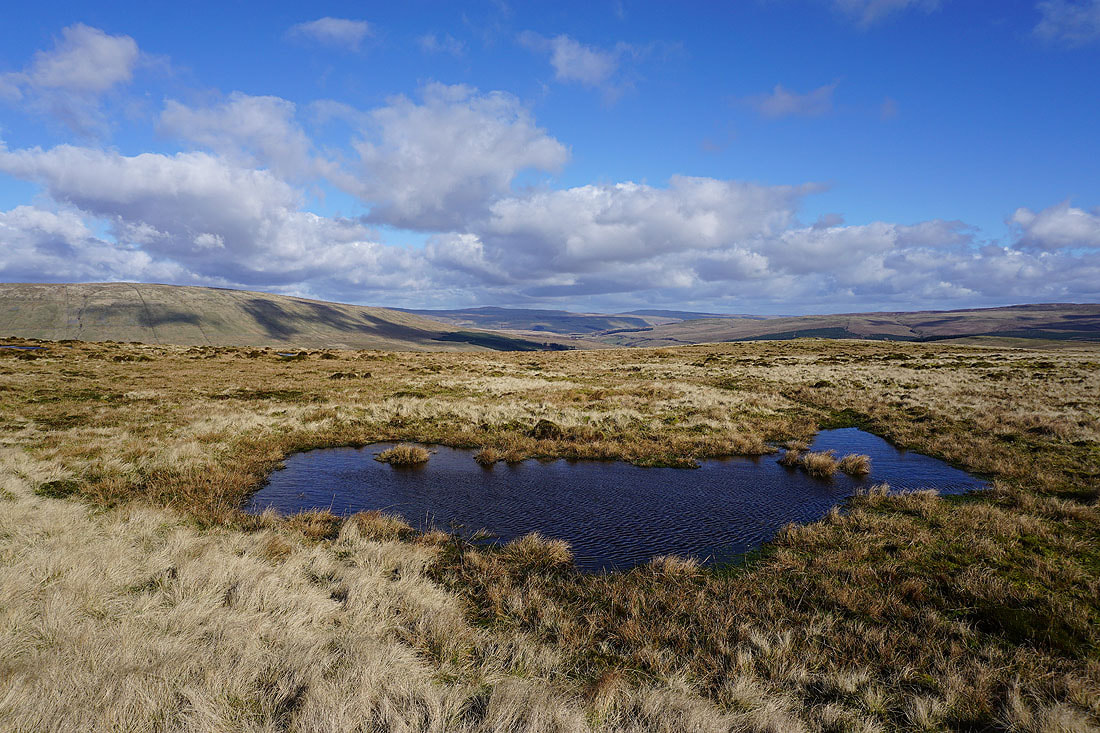
This moorland pool provides a nice foreground for the view towards Garsdale Head
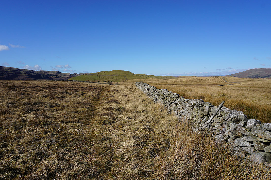
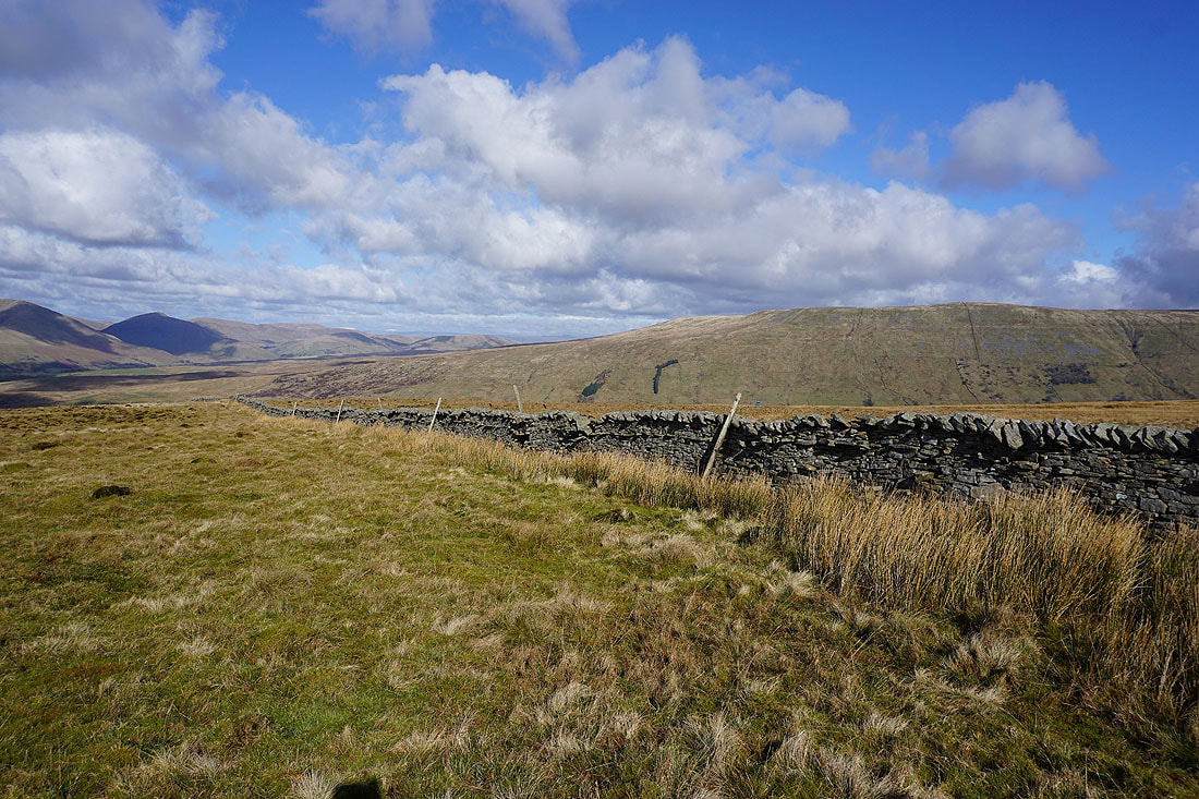
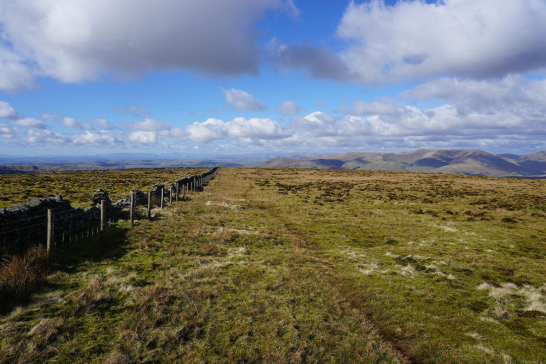
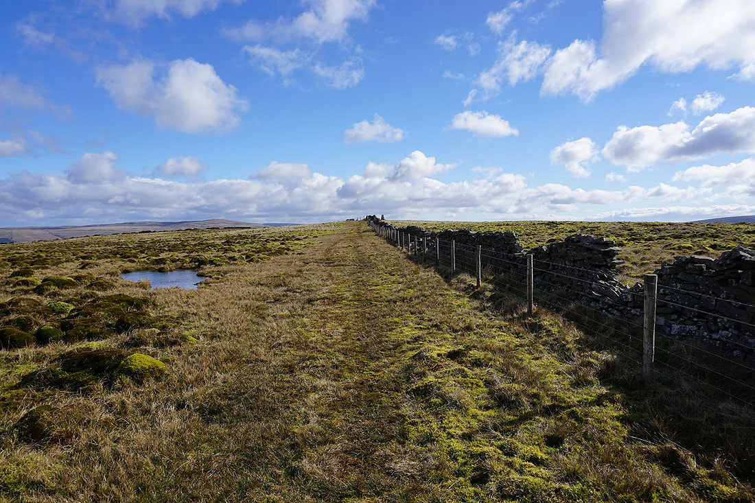
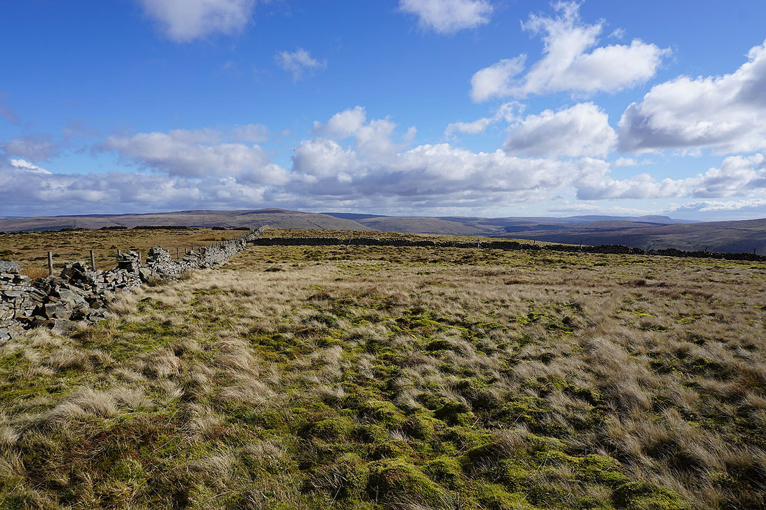
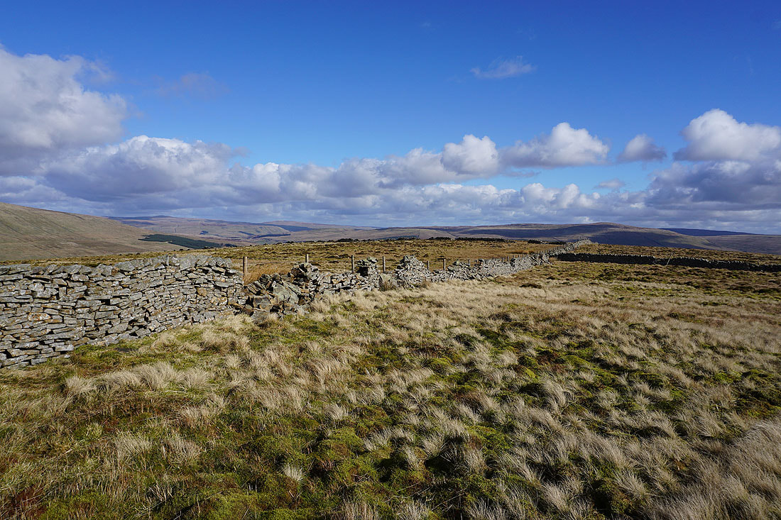
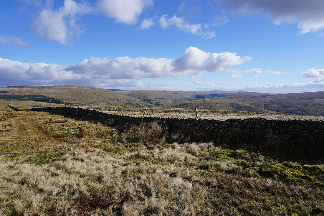
Leaving the trig point behind I follow the wall east across the top of the fell
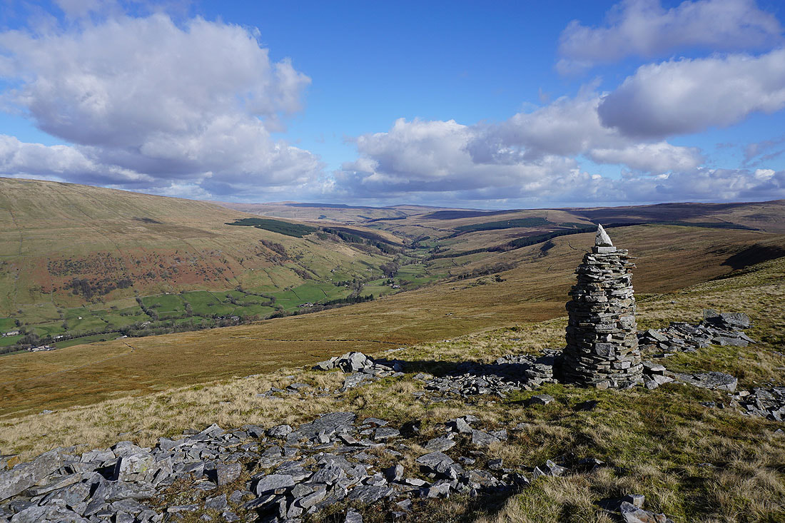
This handsomely built cairn just a short distance east from the summit and on the northern edge of the fell provides a fantastic view of Garsdale
Baugh Fell on the other side of Garsdale
Great Knoutberry Hill, Wold Fell, and the head of Dentdale
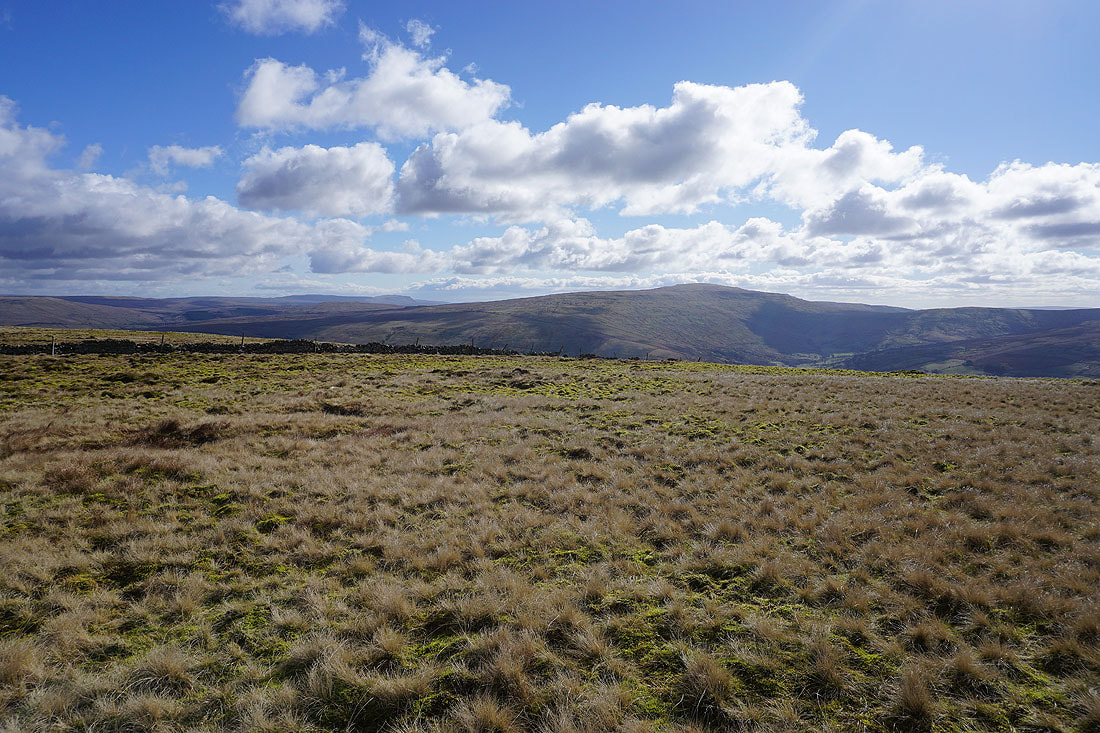
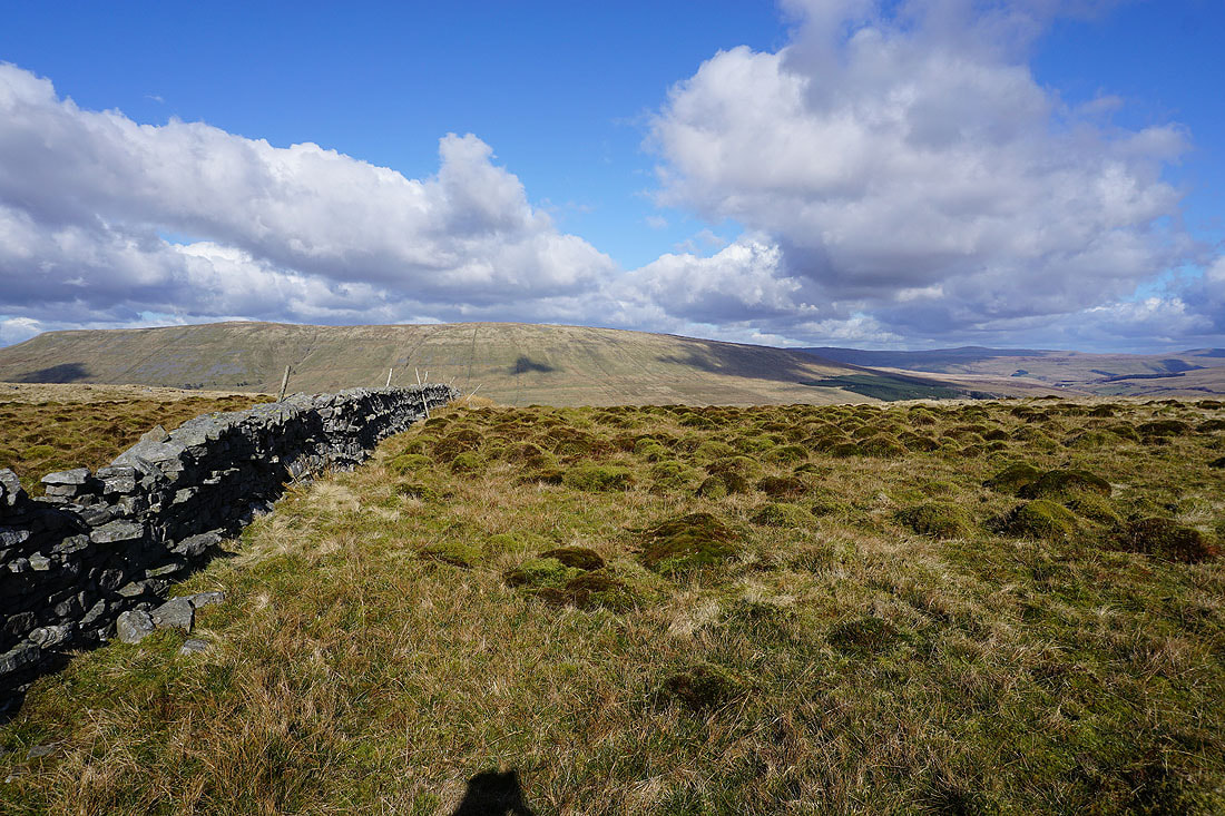
Approaching Snaizwold Fell
Garsdale and the Howgills from Snaizwold Fell
Great Knoutberry Hill, Wold Fell, the head of Dentdale, Penyghent, and Blea Moor
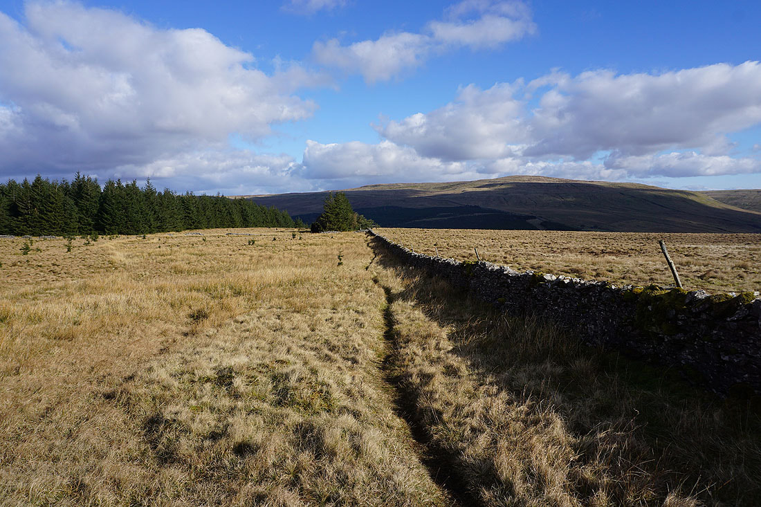
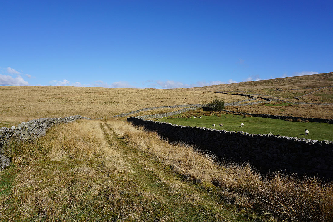
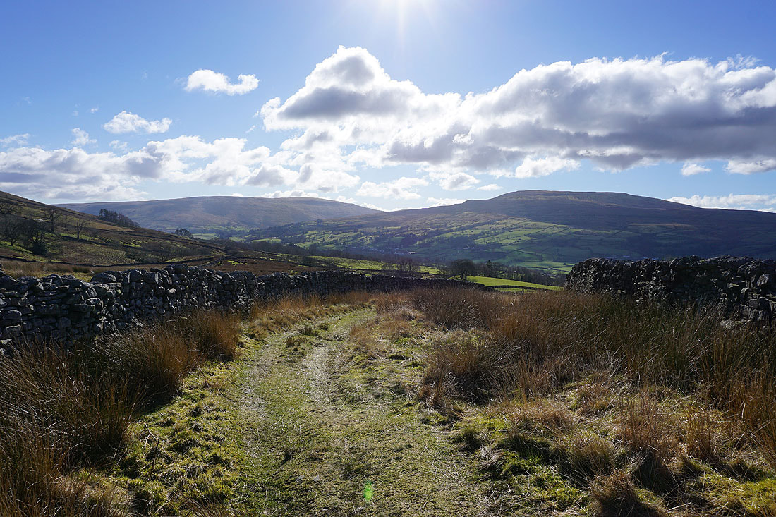
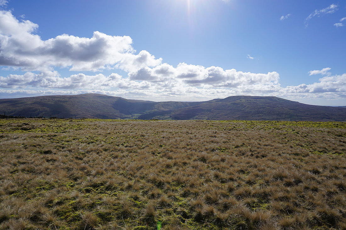
Leaving Snaizwold Fell my route follows the edge of a plantation down to the Garsdale to Dentdale bridleway
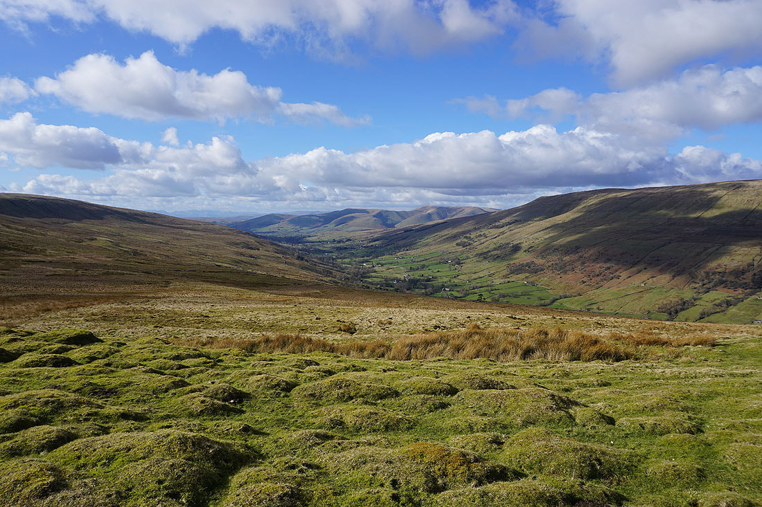
I get a great view of the head of Dentdale
and across to Garsdale Head
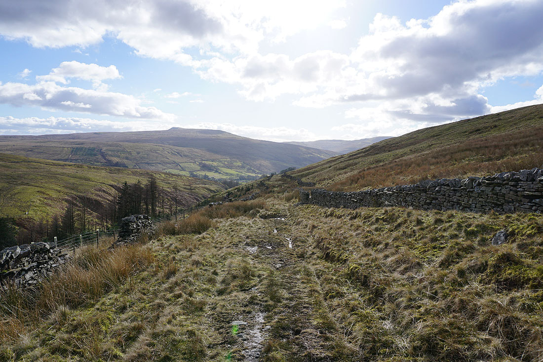
On the bridleway down to Cowgill in Dentdale
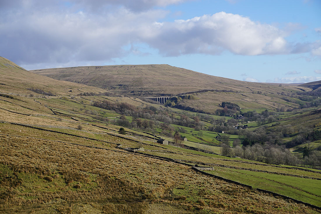
Zooming in on the Arten Gill Viaduct that carries the Settle to Carlisle line above the head of Dentdale
The bridleway finally makes it down to Cowgill in Dentdale
A quiet Saturday afternoon in Cowgill
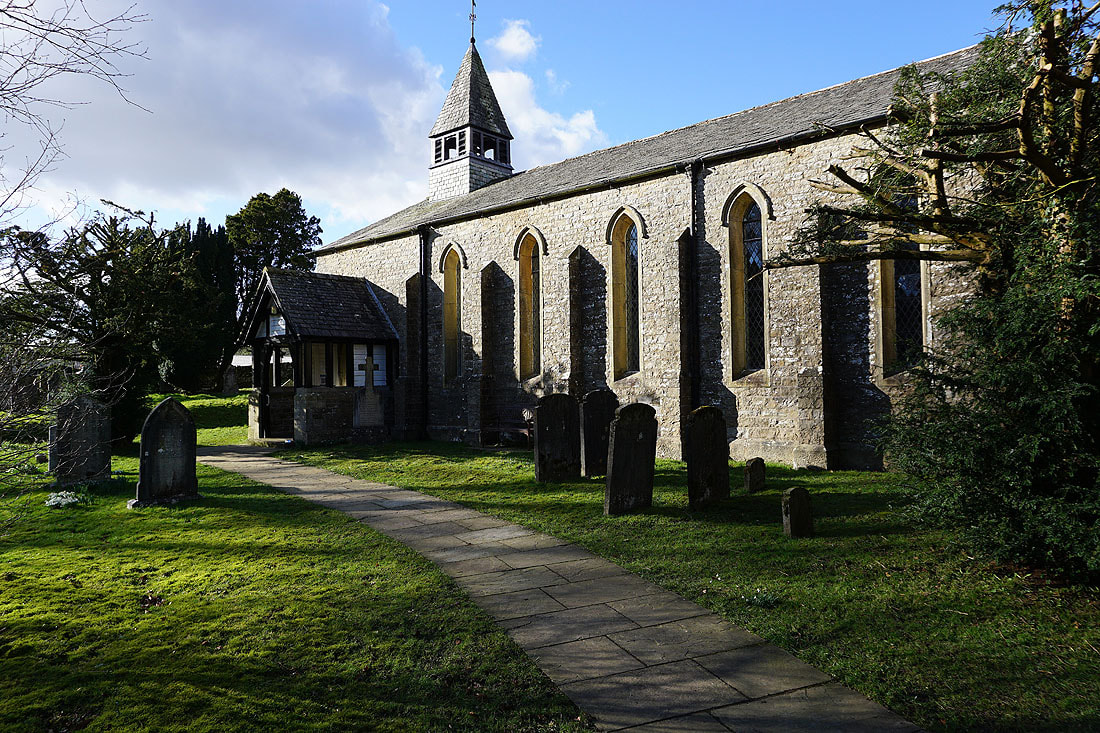
St. John the Evangelist's Church in Cowgill
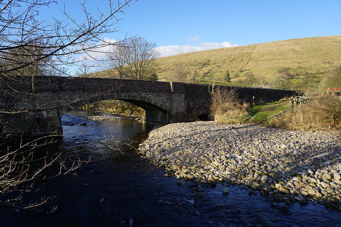
The River Dee from Ewegales Bridge
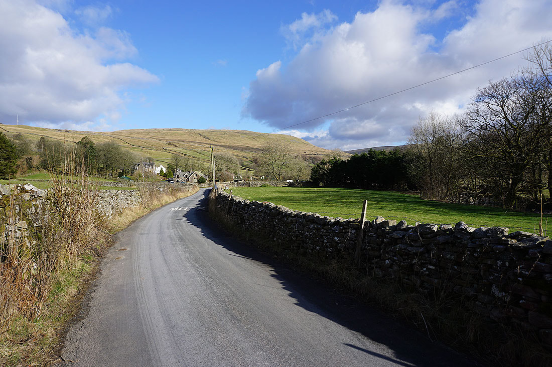
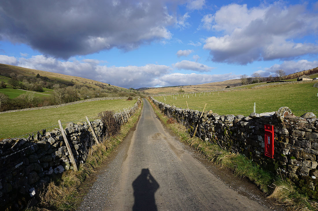
From Ewegales Bridge I walk west along the road on the south side of the dale
A look back along the road as I reach Birchen Tree Farm
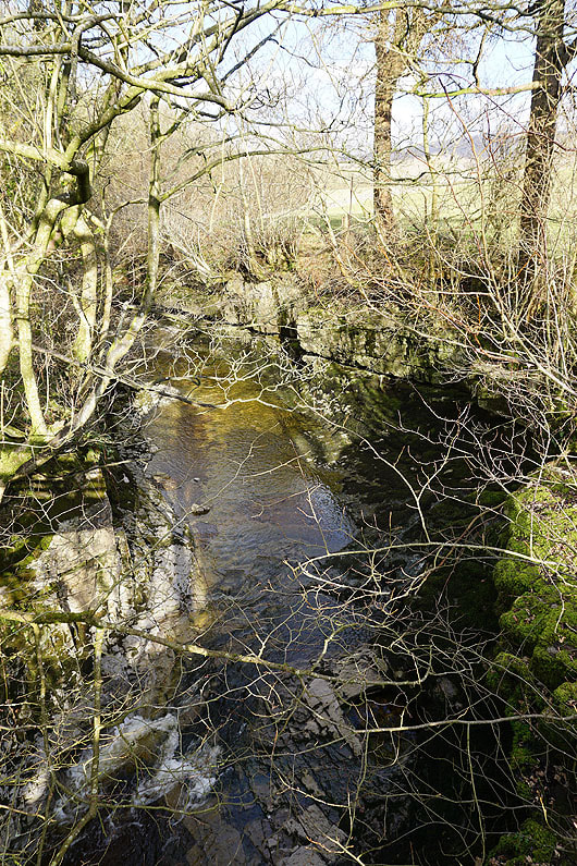
I've made a short detour down to the River Dee to see if I can spot the waterfall of Ibbeth Peril. Unfortunately I can't really make it out from the footbridge that I'm stood on.

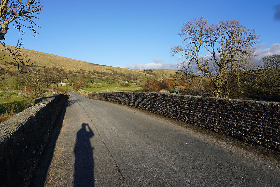
Back up to the road and heading west again
Looking down Dentdale as I take the Dales Way, which I'll follow most of the way back to Dent, down to the River Dee
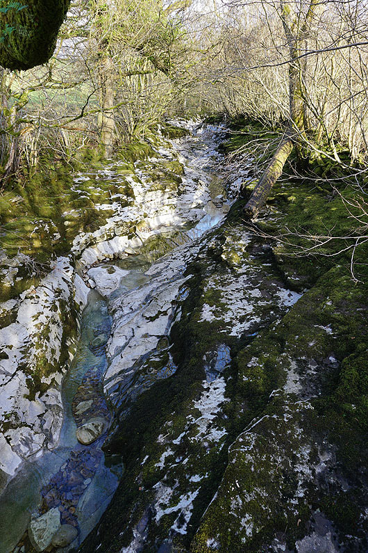
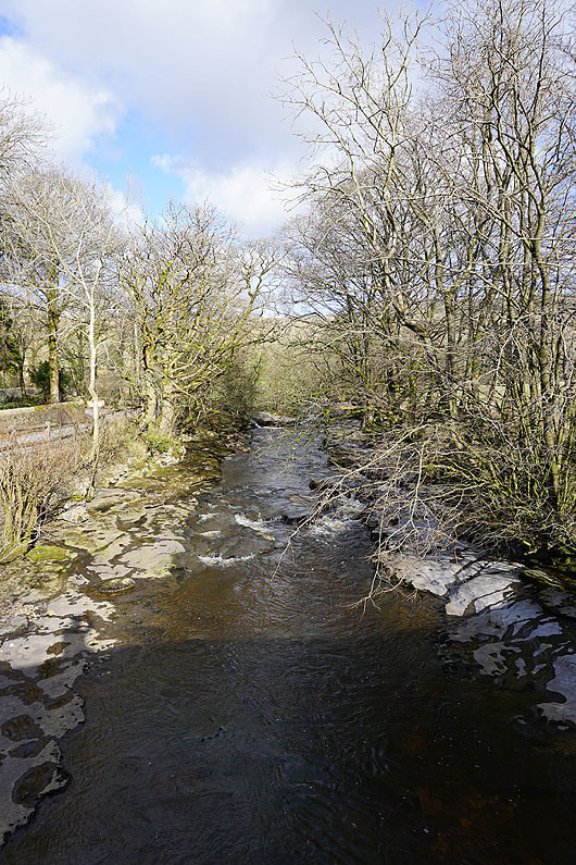
This section of the River Dee flows over limestone, so there's water in it only when there's been a lot of rain recently, which there was in February
Lengthening shadows in Dentdale
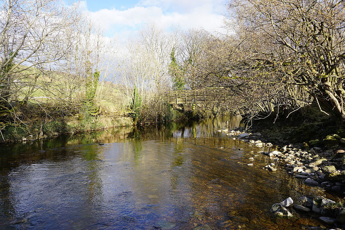
The River Dee and Tommy Bridge
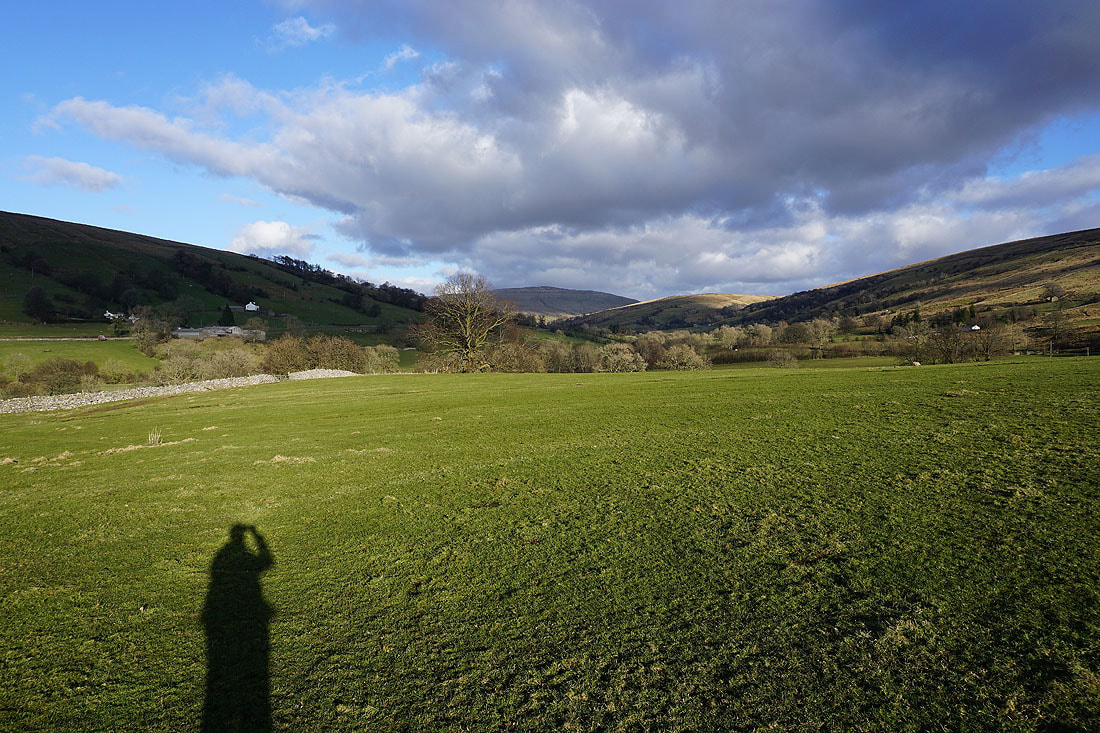
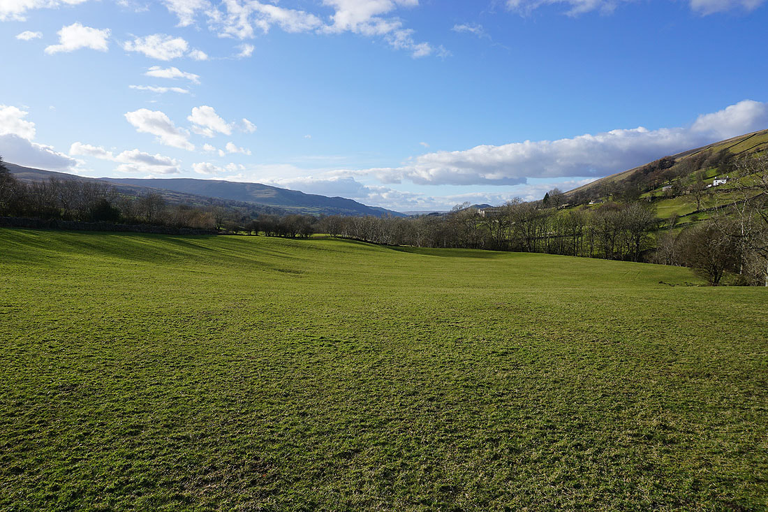
Looking up Dentdale to Great Knoutberry Hill
and across to Middleton Fell
and up Dentdale again to Whernside
Church Bridge and the River Dee
The southern slopes of Aye Gill Pike from Church Bridge
Stepping back in time as I walk along the cobbled streets of Dent