5th May 2008 - A Coniston Round
Walk Details
Distance walked: 8.6 miles
Total ascent: 3643 ft
OS map used: OL6 - The English Lakes, South-western area
Time taken: 6 hrs
Route description: Coniston-Miners Bridge-Hole Rake-Wetherlam-Swirl How-Great Carrs-Brim Fell-The Old Man of Coniston-Low Water-Miners Bridge-Coniston
A round of the Coniston fells from Coniston. It was a sunny start to the day but it gradually clouded over so that by the time I arrived on the Old Man it was rather gloomy.
From Coniston I made my way up to Miners Bridge and then onto Hole Rake to make my ascent of Wetherlam by its south ridge. After Wetherlam it was across to Swirl How and then Great Carrs, Brim Fell and The Old Man of Coniston. My route back was down to Low Water, through the old quarries and past Miners Bridge to Coniston.
Route map
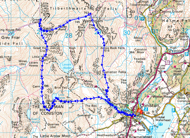
© Crown copyright. All rights reserved. License number PU 100034184.
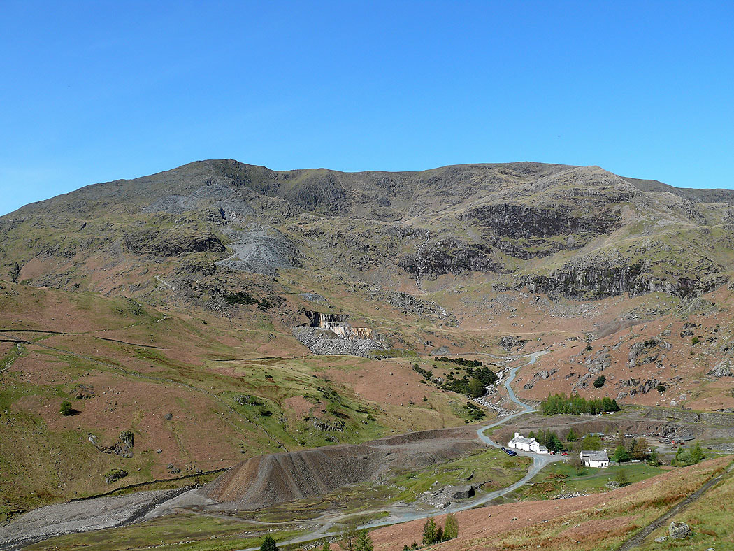
The Old Man of Coniston and Brim Fell across the Coppermines Valley as I start the ascent of Wetherlam
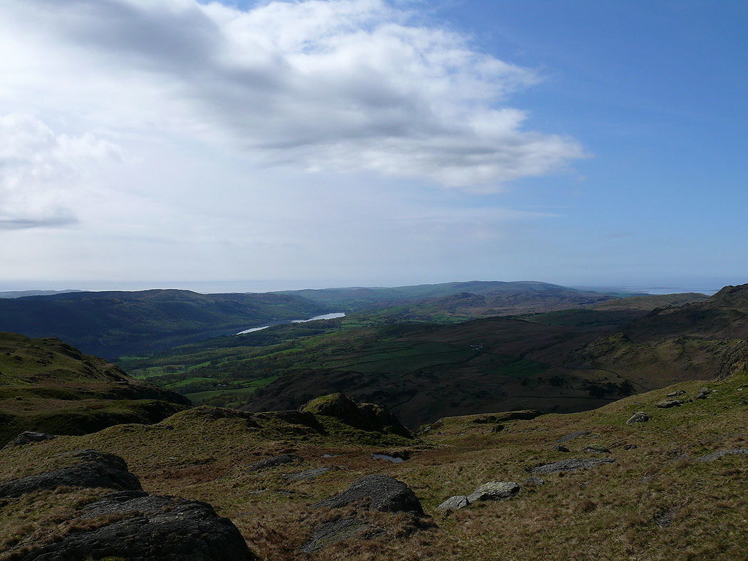
Coniston Water starts to come into view
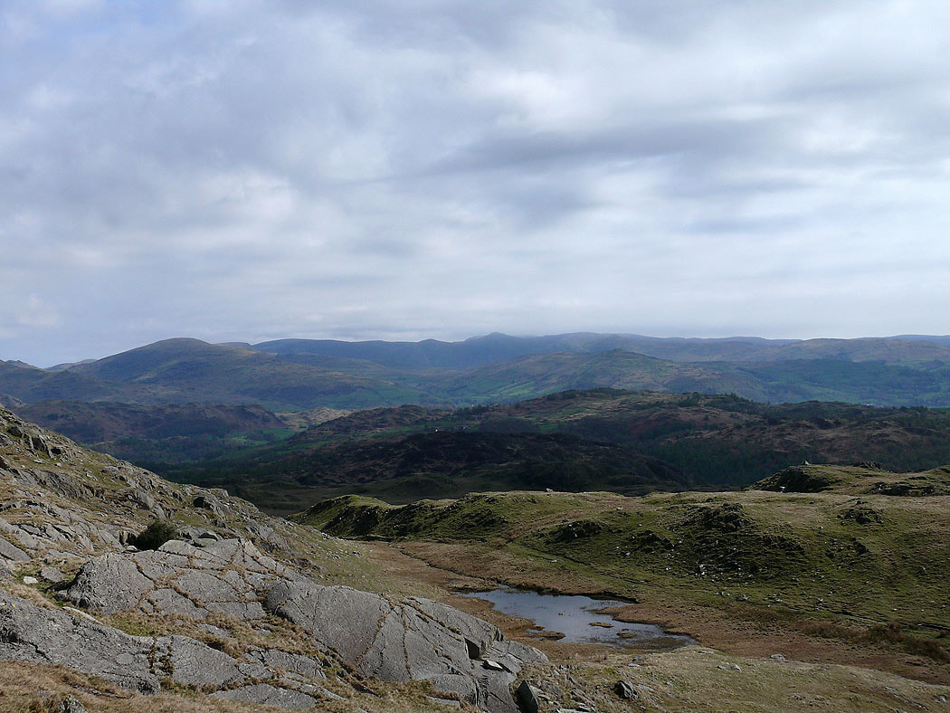
Looking across to High Street and the Ill Bell ridge
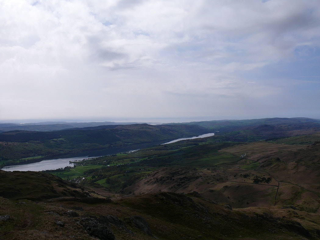
Higher up and more of Coniston Water and Morecambe Bay can be seen
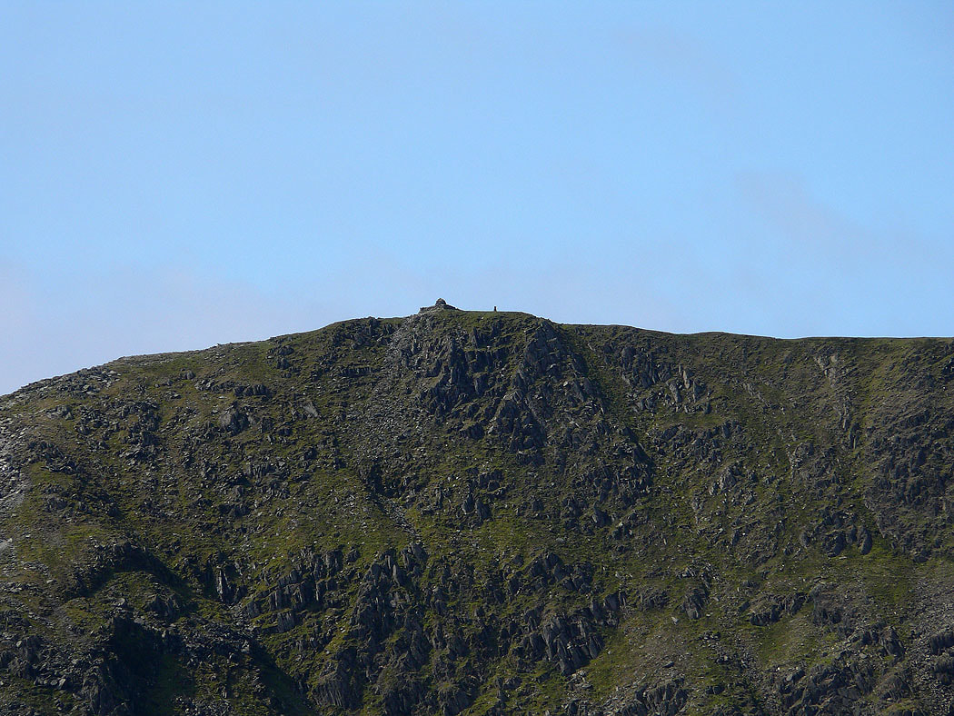
Zooming in on the summit of The Old Man
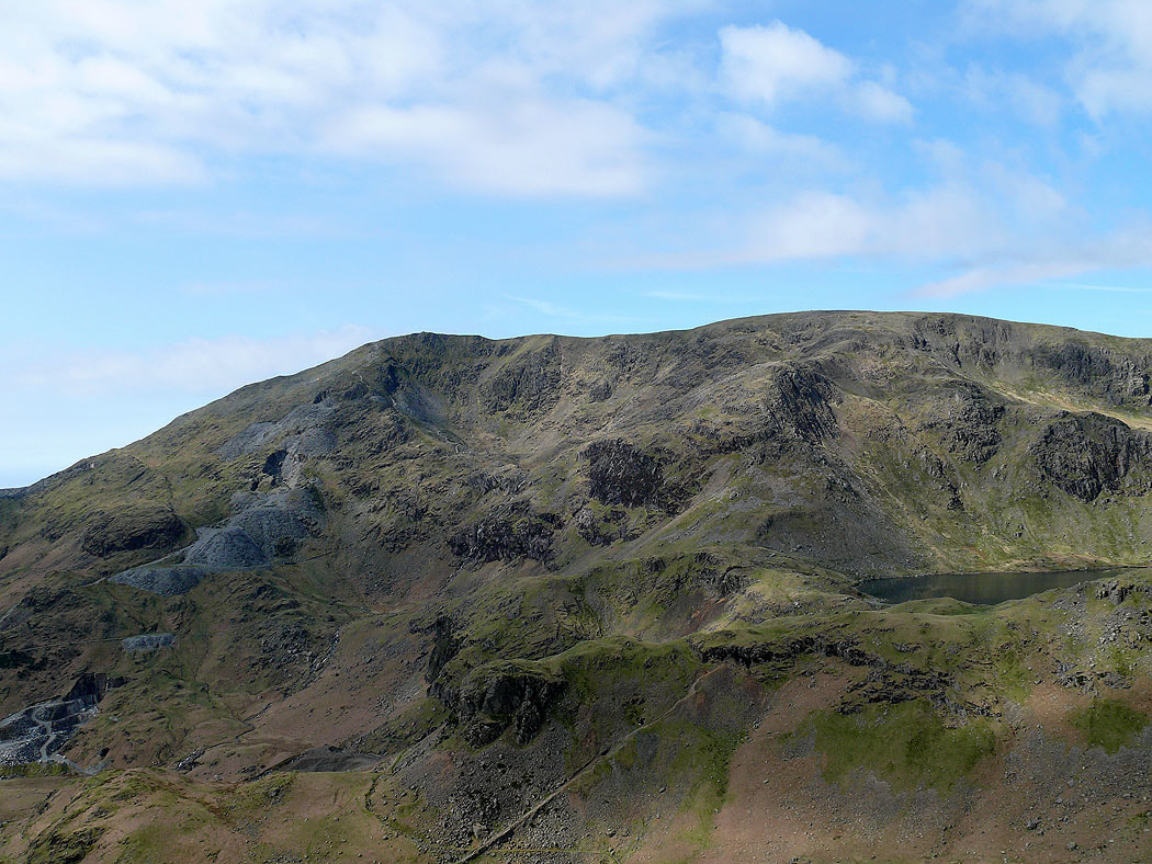
The Old Man of Coniston, Brim Fell and Levers Water
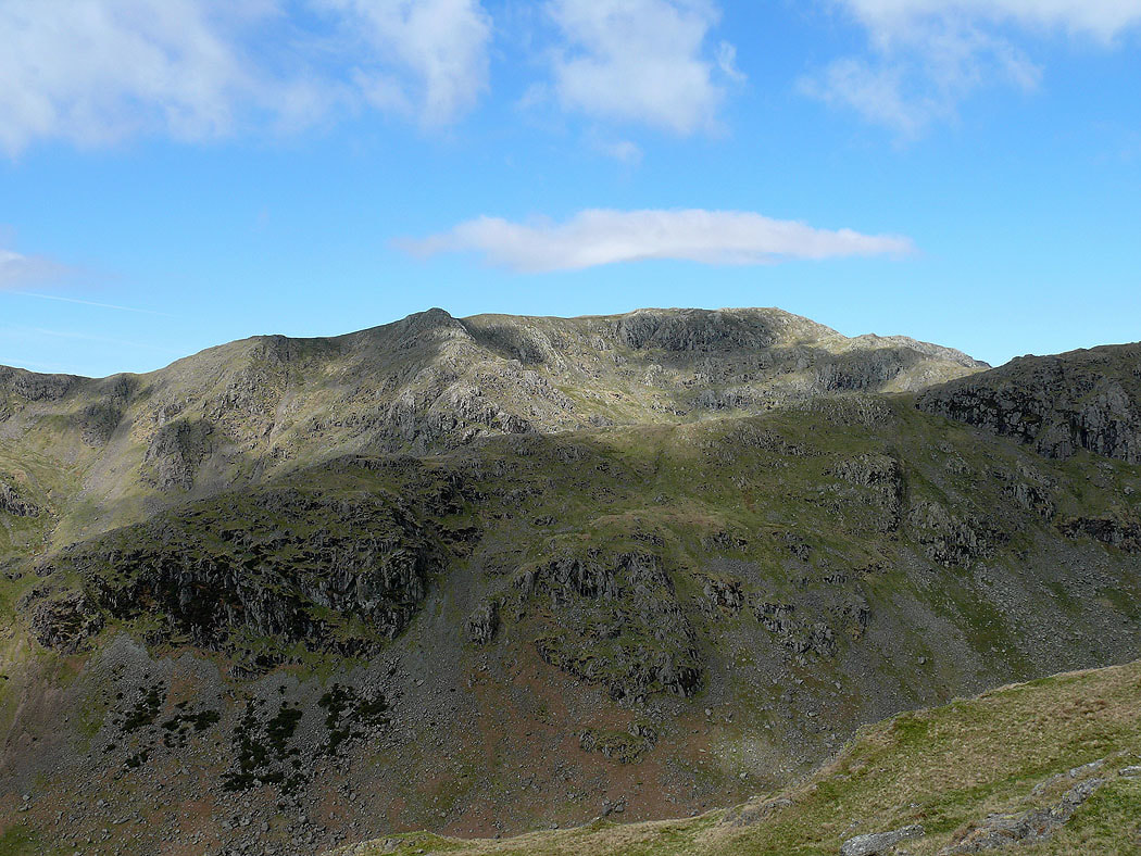
Swirl How behind the Black Sails ridge
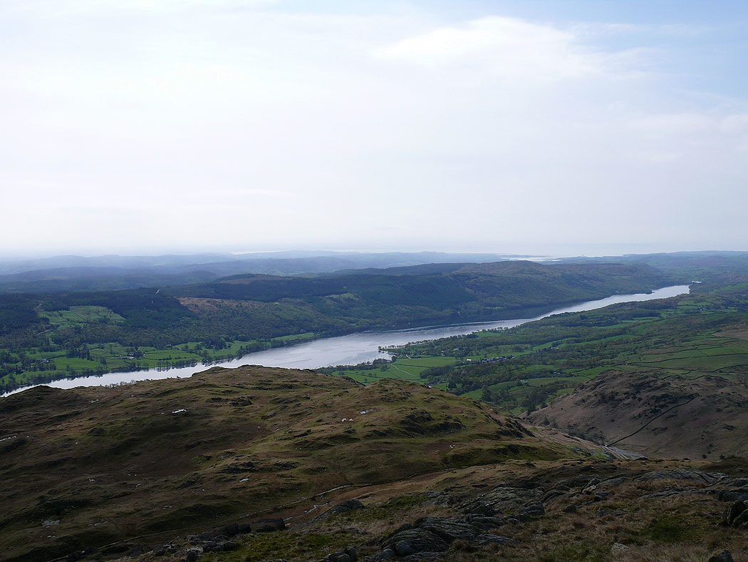
Coniston Water
Low cloud starting to cover Fairfield and High Street
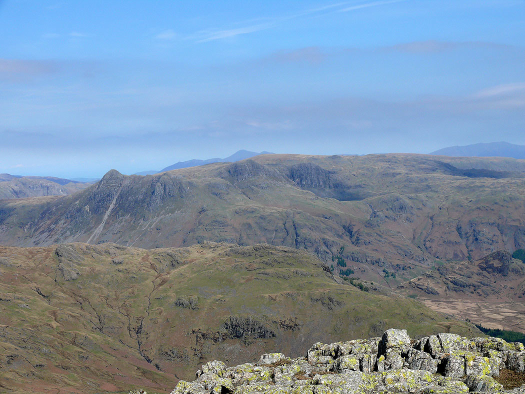
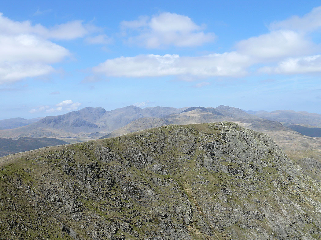
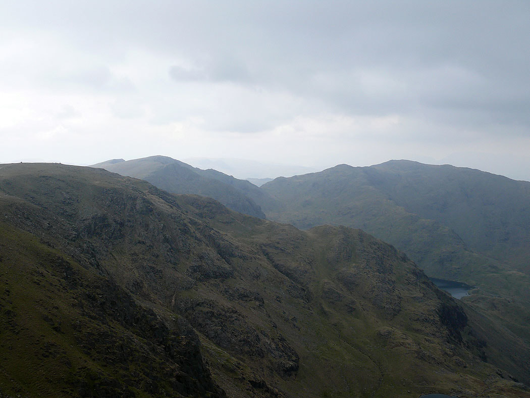
On the summit of Wetherlam. The view across to Scafell, Scafell Pike, the Crinkle Crags and Bowfell.
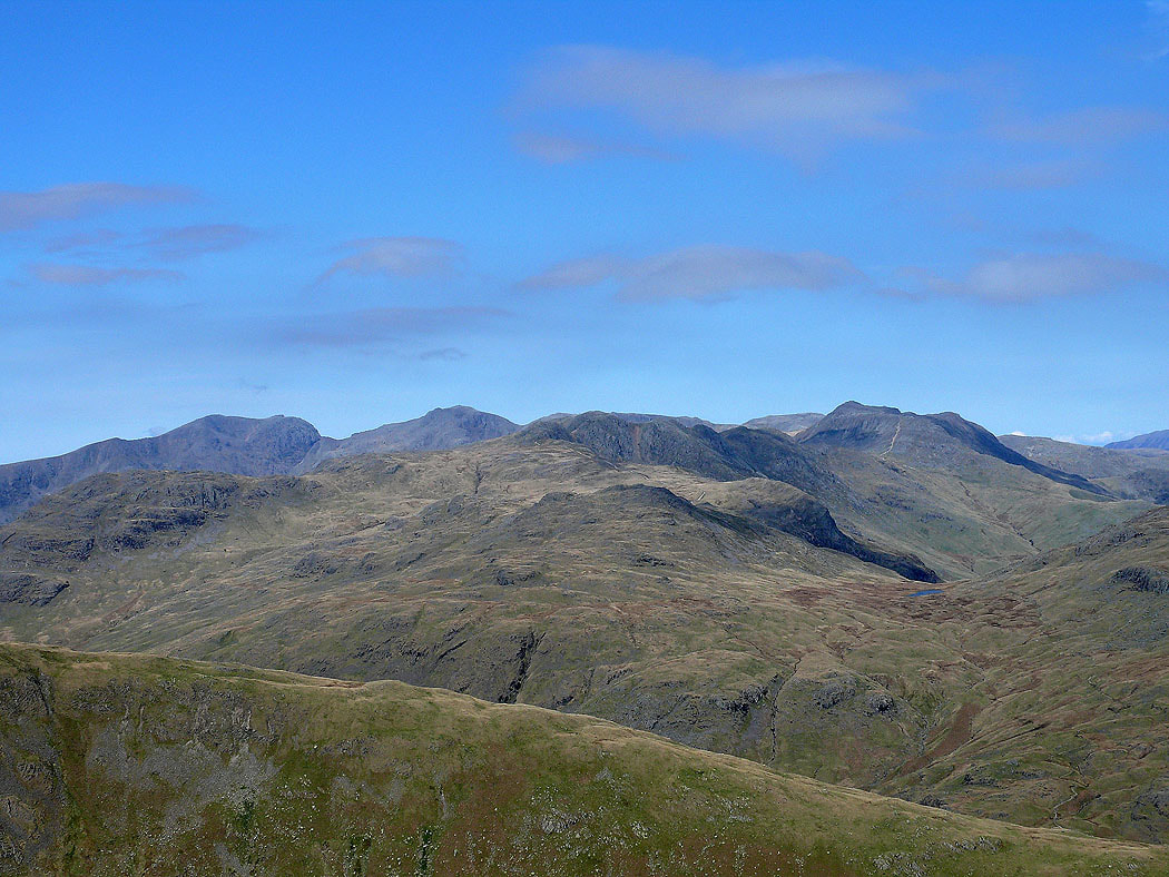
Zooming in on said fells
The Langdale Pikes
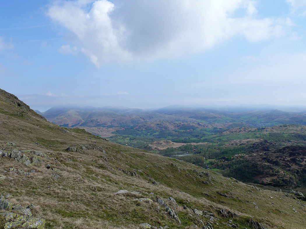
Helvellyn, Fairfield, Lingmoor Fell and Little Langdale
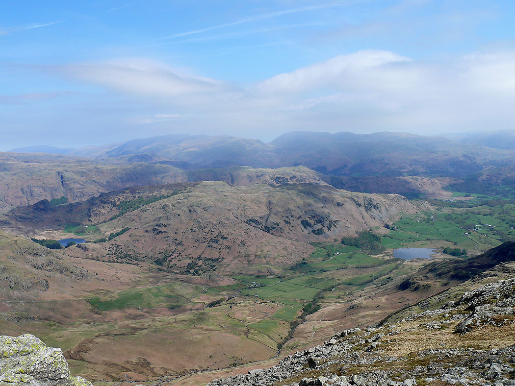
On the summit of Swirl How. Greenburn below leading down to Little Langdale.
Looking north past Pike o'Blisco and the Langdale Pikes to Skiddaw
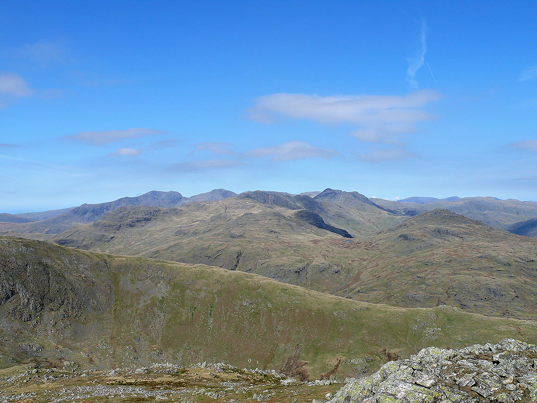
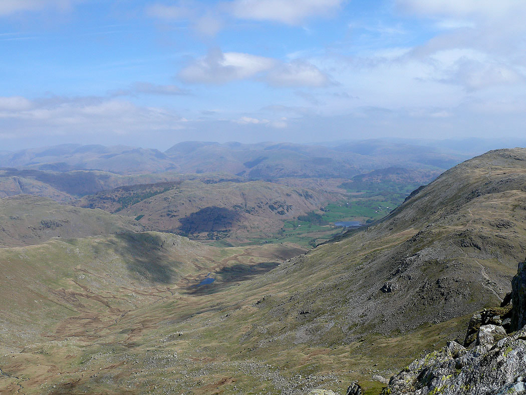
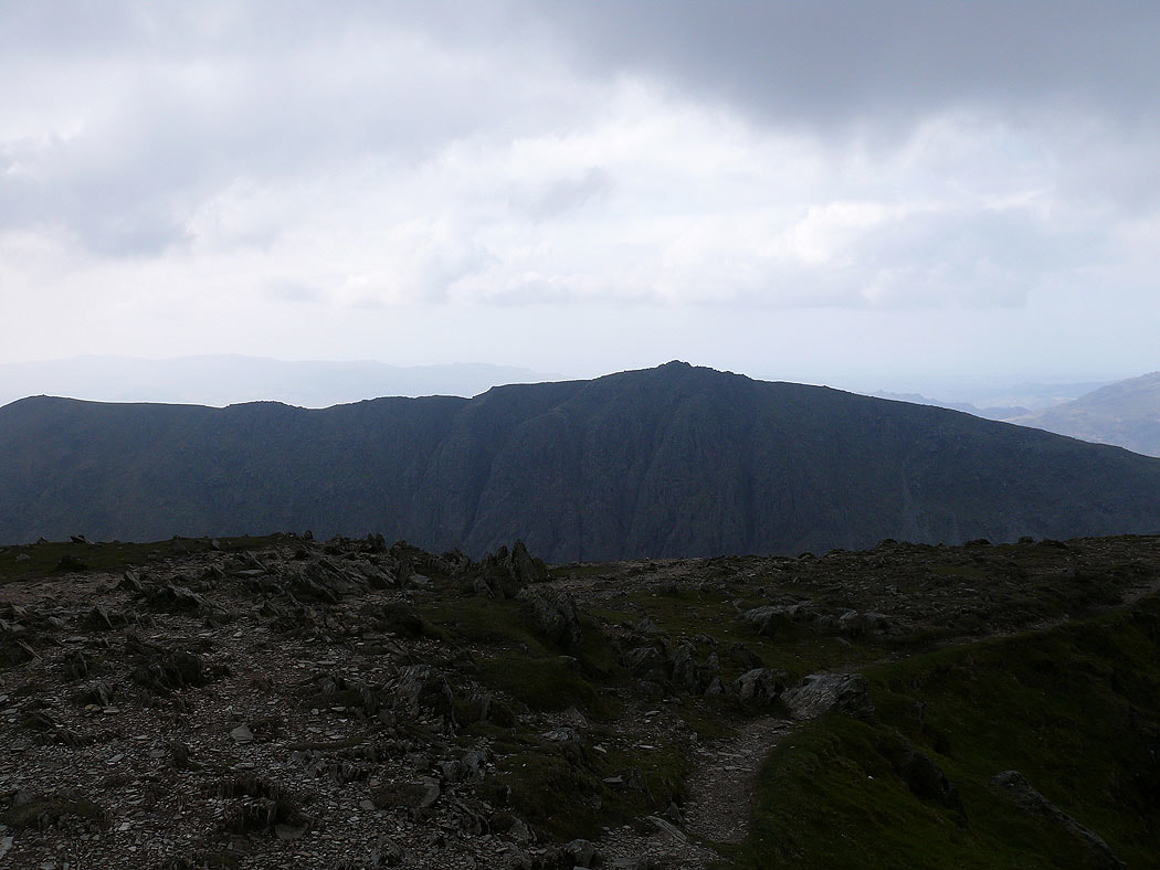
Scafell, Scafell Pike, the Crinkle Crags and Bowfell beyond the neighbouring fell of Great Carrs
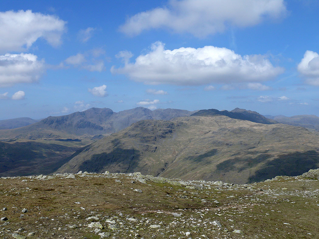
and the same view but this time from Great Carrs
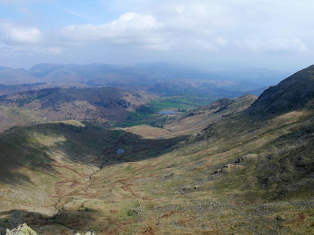
Greenburn and Little Langdale
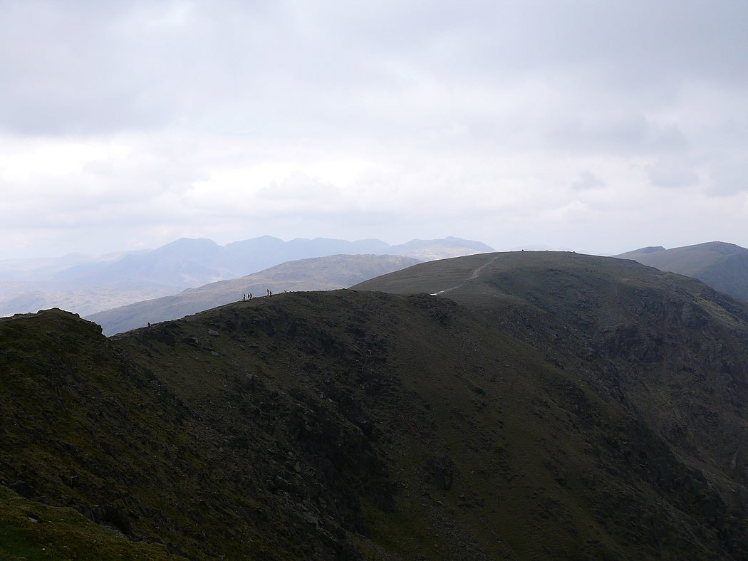
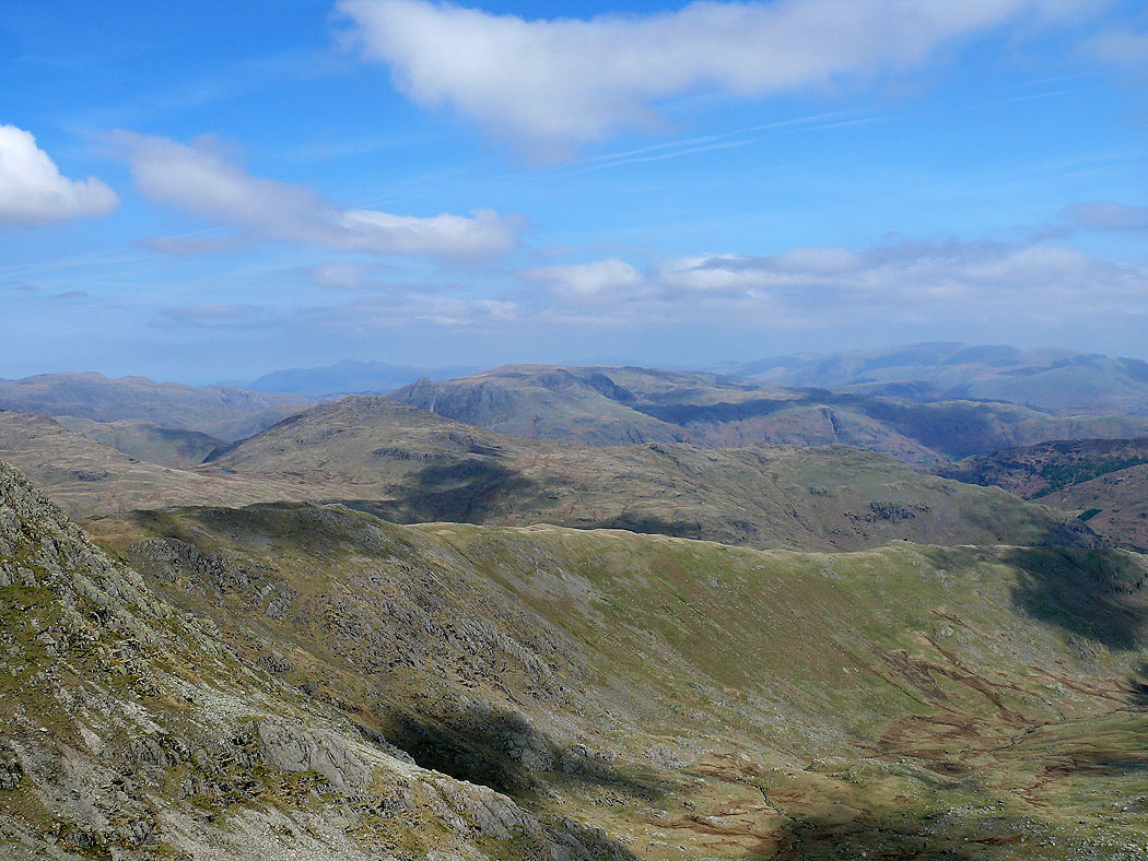
On the final summit of the day, the Old Man of Coniston and its finally clouded over. Neighbouring Brim Fell and in the distance the Scafells and Bowfell.
Swirl How and Wetherlam
Dow Crag. Now to head back down to Coniston.