5th May 2012 - Littledale and Clougha Pike
Walk Details
Distance walked: 10.9 miles
Total ascent: 2029 ft
OS map used: OL41 - Forest of Bowland & Ribblesdale
Time taken: 7.5 hrs
Route description: Rigg Lane-Ottergear Bridge-Littledale Road-Crossgill-Littledale-Littledale Hall-Field Head-Belhill Farm-Sweet Beck-Conder Head-Grit Fell-Clougha Pike-Rigg Lane
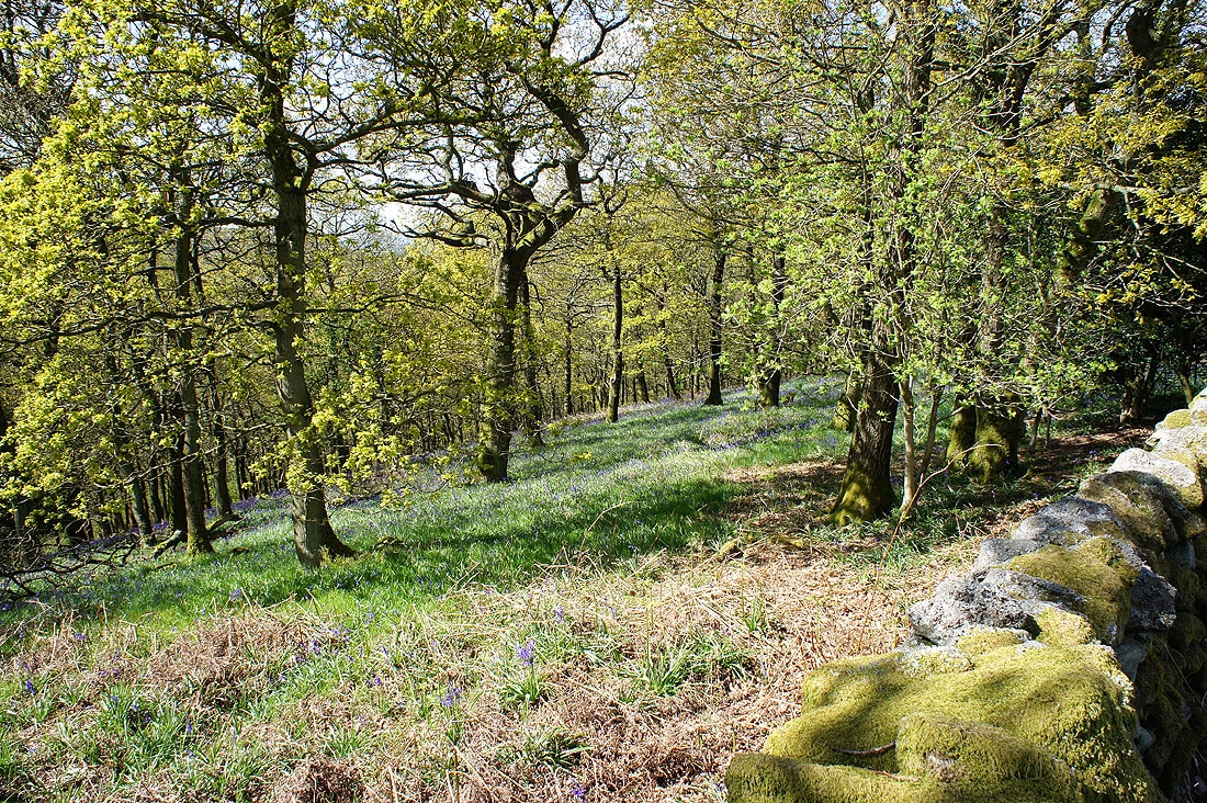
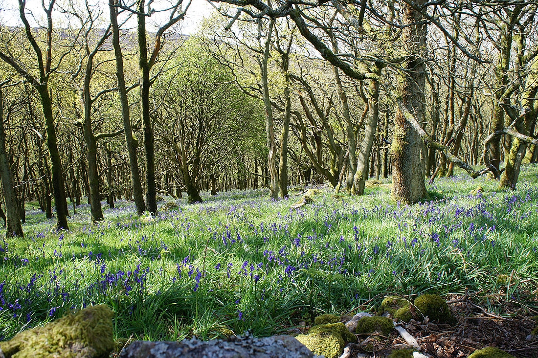
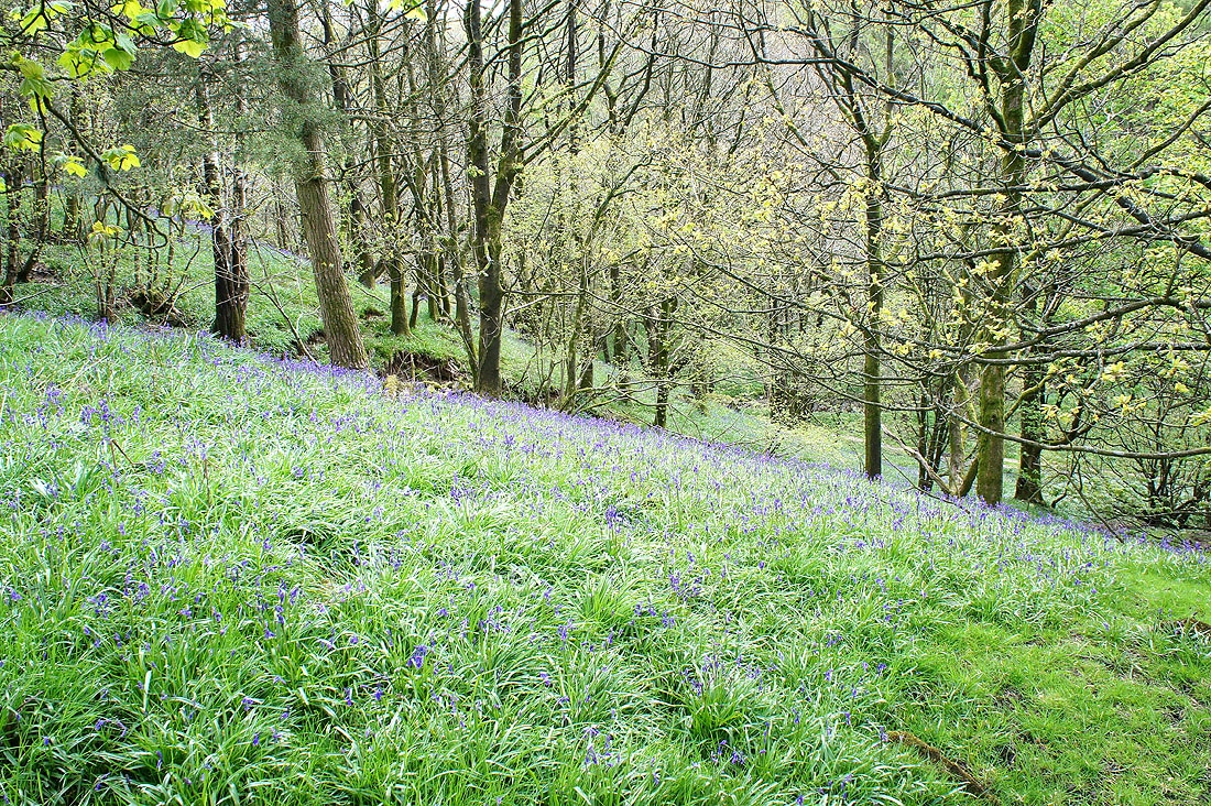
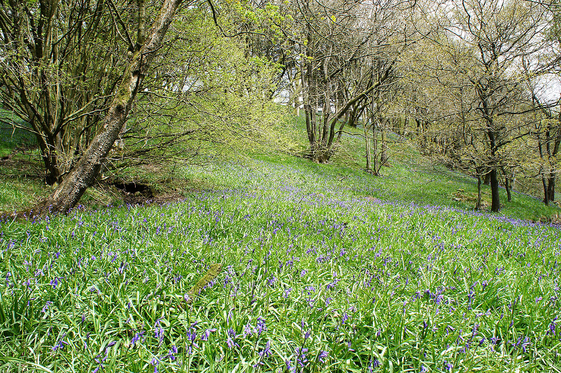
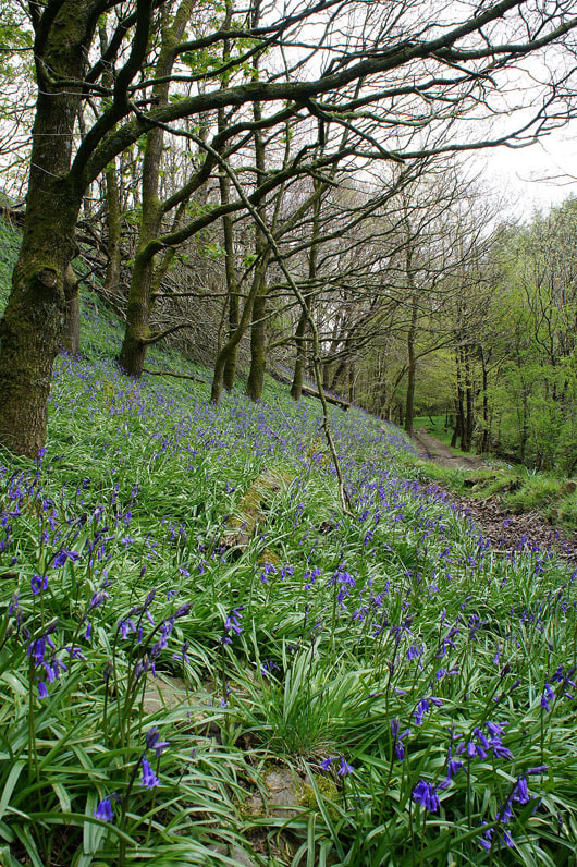
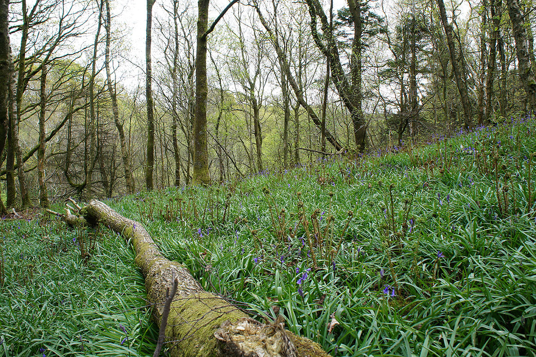
I saved doing this walk for this time of year in the hope of seeing the bluebells in the woodlands of Littledale. I wasn't disappointed. If anything I was a little early, a couple of weeks later and there would be more in bloom. I think the best are in the loop above Littledale Hall where you get to see them from the path at the top of the woods and again from below on the path through.
I started the walk from the car park on Rigg Lane. Leaving the back of the car park I took the track that heads north-east around the back of Clougha towards Littledale. After crossing Ottergear Bridge I made my way down and across the River Conder and upto the Littledale Road. I then followed the road downhill to Crossgill before taking the footpath that heads up Littledale in the woods above Littledale Hall. This path loops back on itself down by the beck and through the grounds of the hall. I then followed field footpaths until I reached access land for the climb upto Grit Fell. From Grit Fell I made my way across to Clougha Pike and then back to Rigg Lane.
Total ascent: 2029 ft
OS map used: OL41 - Forest of Bowland & Ribblesdale
Time taken: 7.5 hrs
Route description: Rigg Lane-Ottergear Bridge-Littledale Road-Crossgill-Littledale-Littledale Hall-Field Head-Belhill Farm-Sweet Beck-Conder Head-Grit Fell-Clougha Pike-Rigg Lane
I saved doing this walk for this time of year in the hope of seeing the bluebells in the woodlands of Littledale. I wasn't disappointed. If anything I was a little early, a couple of weeks later and there would be more in bloom. I think the best are in the loop above Littledale Hall where you get to see them from the path at the top of the woods and again from below on the path through.
I started the walk from the car park on Rigg Lane. Leaving the back of the car park I took the track that heads north-east around the back of Clougha towards Littledale. After crossing Ottergear Bridge I made my way down and across the River Conder and upto the Littledale Road. I then followed the road downhill to Crossgill before taking the footpath that heads up Littledale in the woods above Littledale Hall. This path loops back on itself down by the beck and through the grounds of the hall. I then followed field footpaths until I reached access land for the climb upto Grit Fell. From Grit Fell I made my way across to Clougha Pike and then back to Rigg Lane.
Route map
© Crown copyright. All rights reserved. License number PU 100034184.
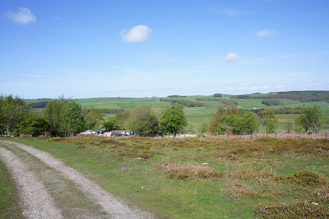
A sunny start to the day as I leave the car park on Rigg Lane
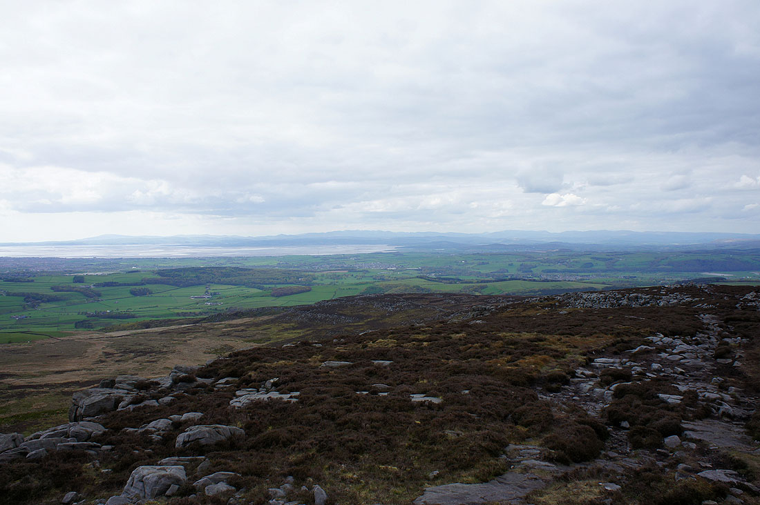
The first sign of just how good the visibility is today with the Lake District fells clearly visible through a gap in the hills
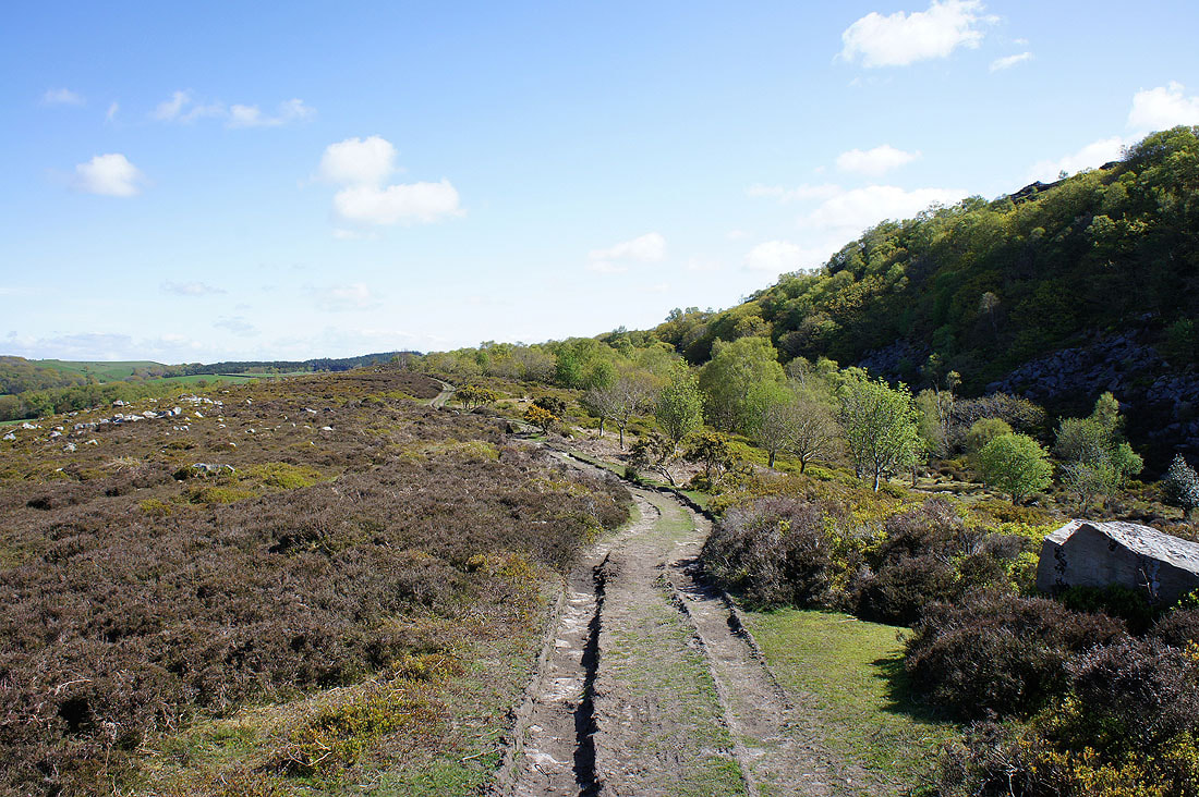
On the path to Littledale
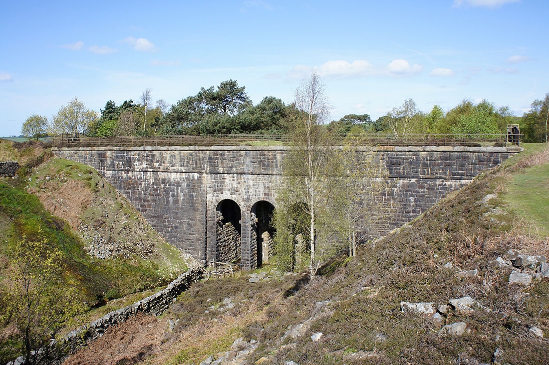
Ottergear Bridge. Carrying the Thirlmere aquaduct south.
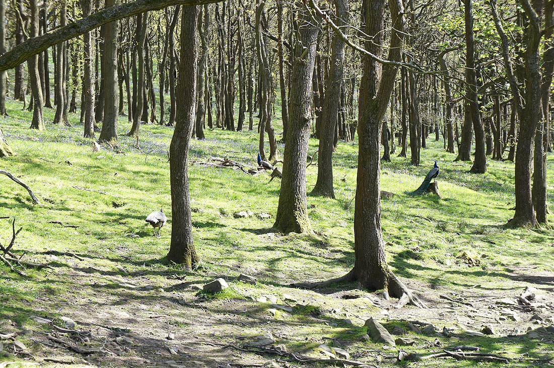
Looking into Cragg Wood. Can you spot the peacock? I could hear them calling and this was the last place I'd expect to see some. I could see lots of bluebells as well but unfortunately Cragg Wood is private land. There is a chance to see some of them from Littledale Road though.
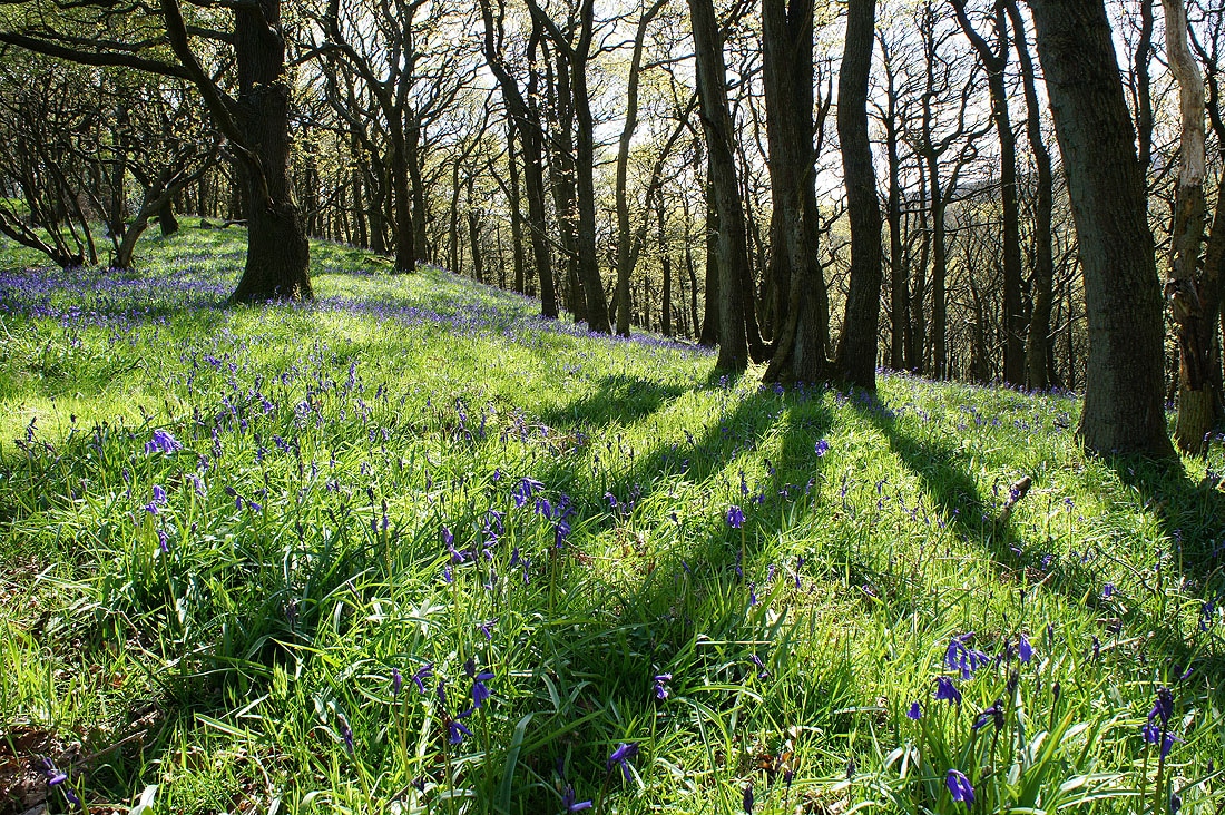
Bluebells in Cragg Wood. I'm leaning over the wall by Littledale Road to take this shot and the next two.
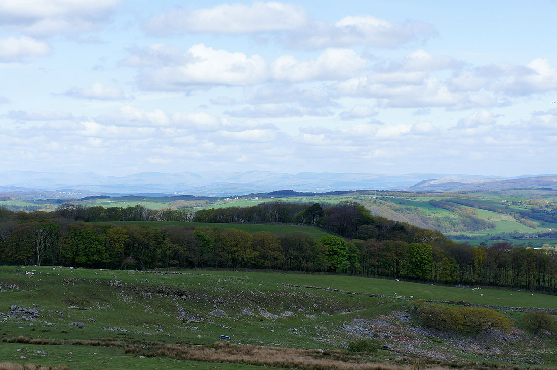
Littledale with Ward's Stone, the highest point in the Forest of Bowland above
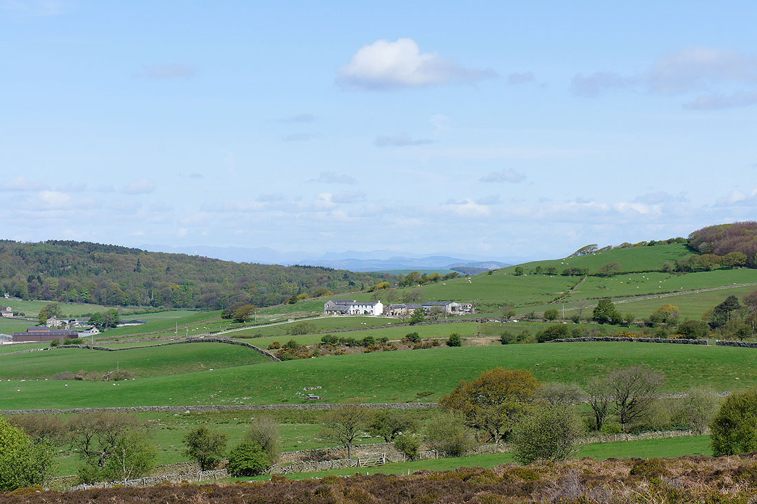
I'm by the cattle grid at the highest point on the Littledale Road and there's a really expansive view to the northwest across Morecambe Bay to the Lake District fells.
and the view north up the Lune valley towards the Howgills
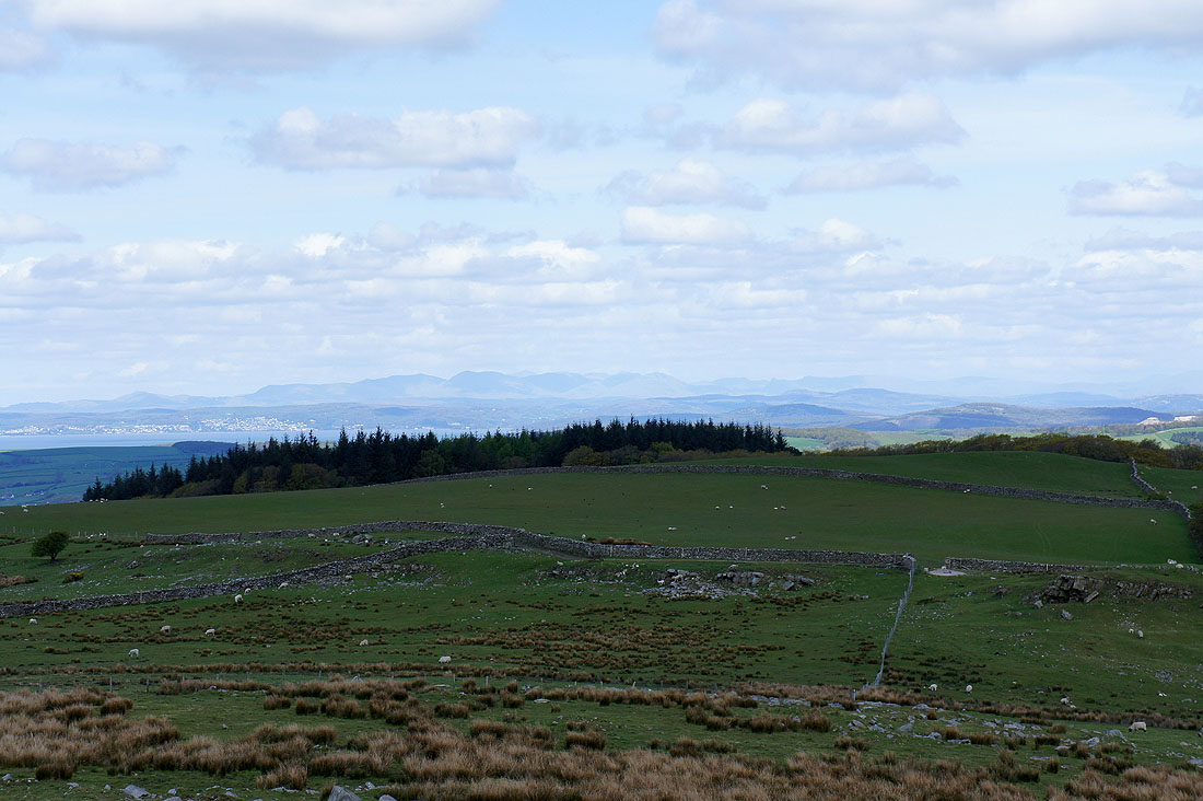
Zooming in on the Lake District fells..
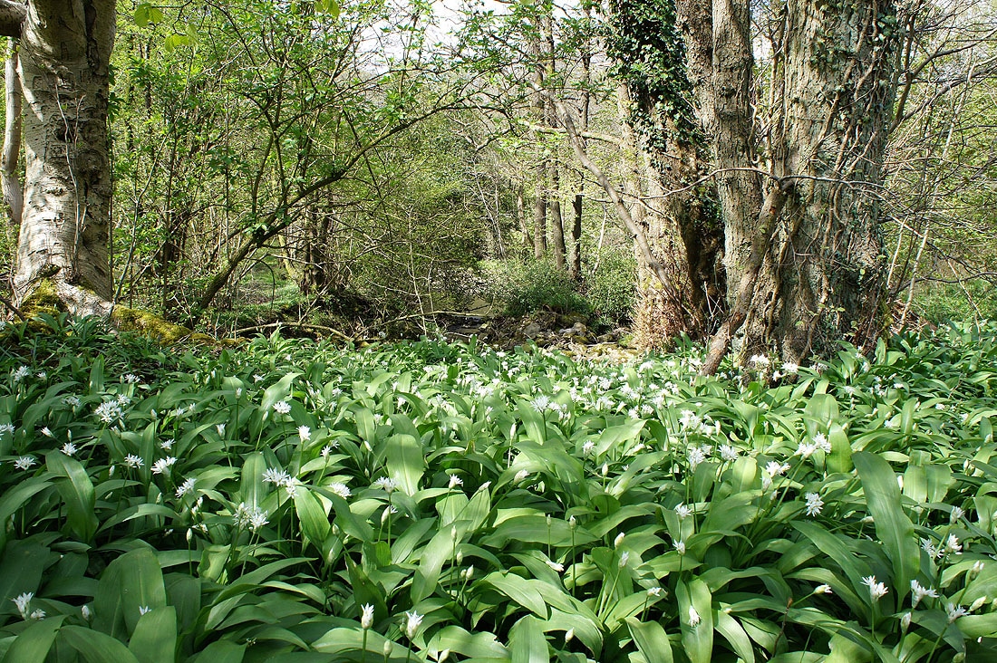
A fine carpet of Ramsons in the woodlands at Uldale Bridge
Littledale
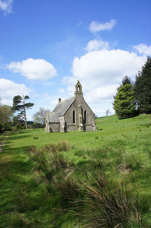
I'm now on the path above Littledale Hall. The Reverend John Dodson's Free Church. Built in 1849 but now used to store farming paraphernalia.
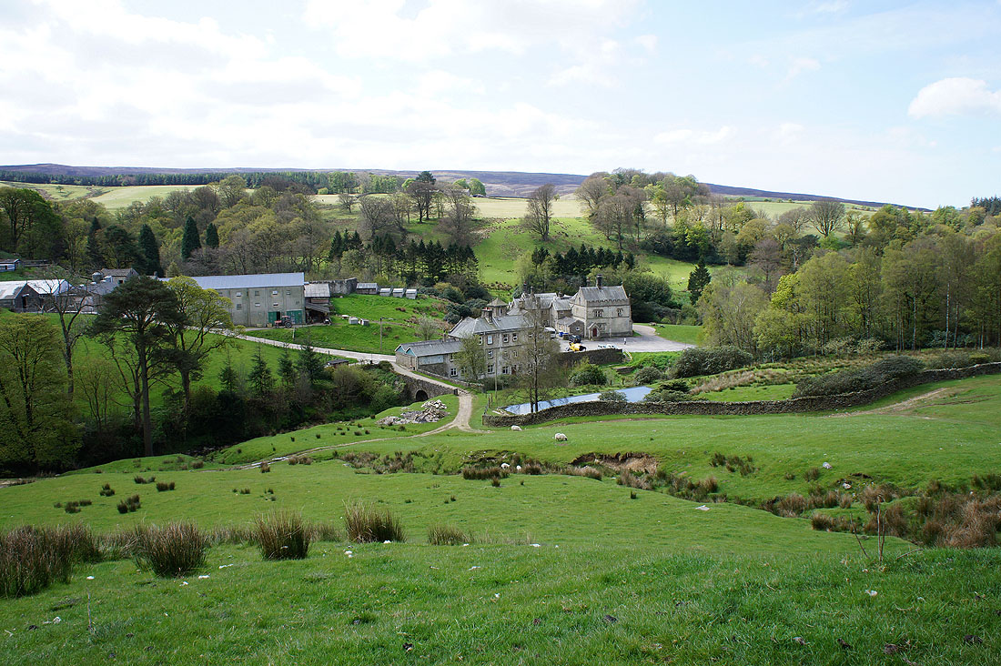
Littledale Hall. The route back goes over the bridge and past the buildings on the left.
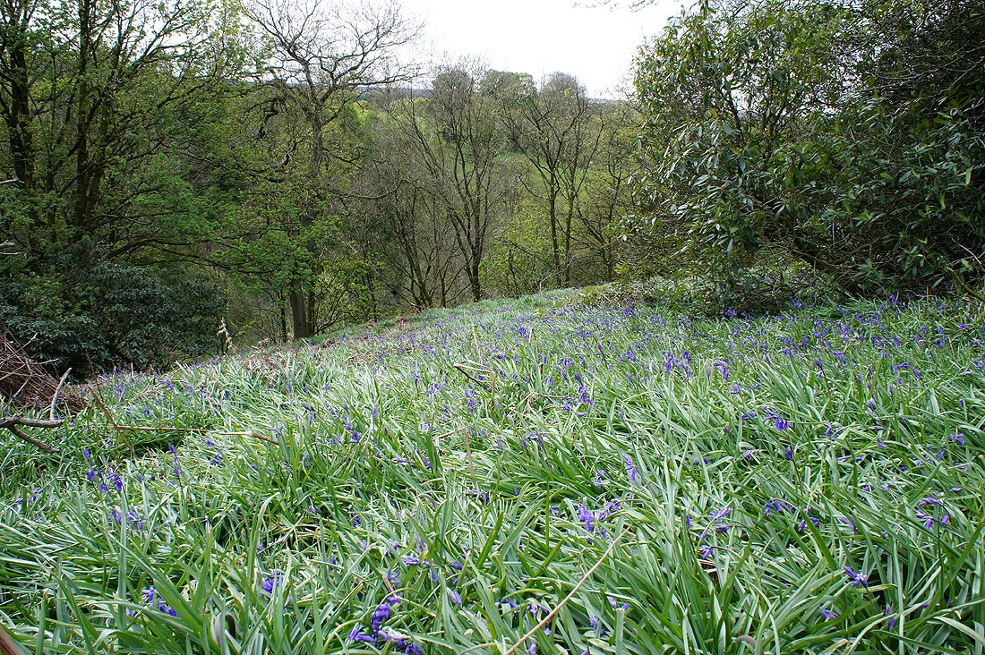
Hyacinthoides non-scripta (bluebells) in the woods above Littledale Hall....
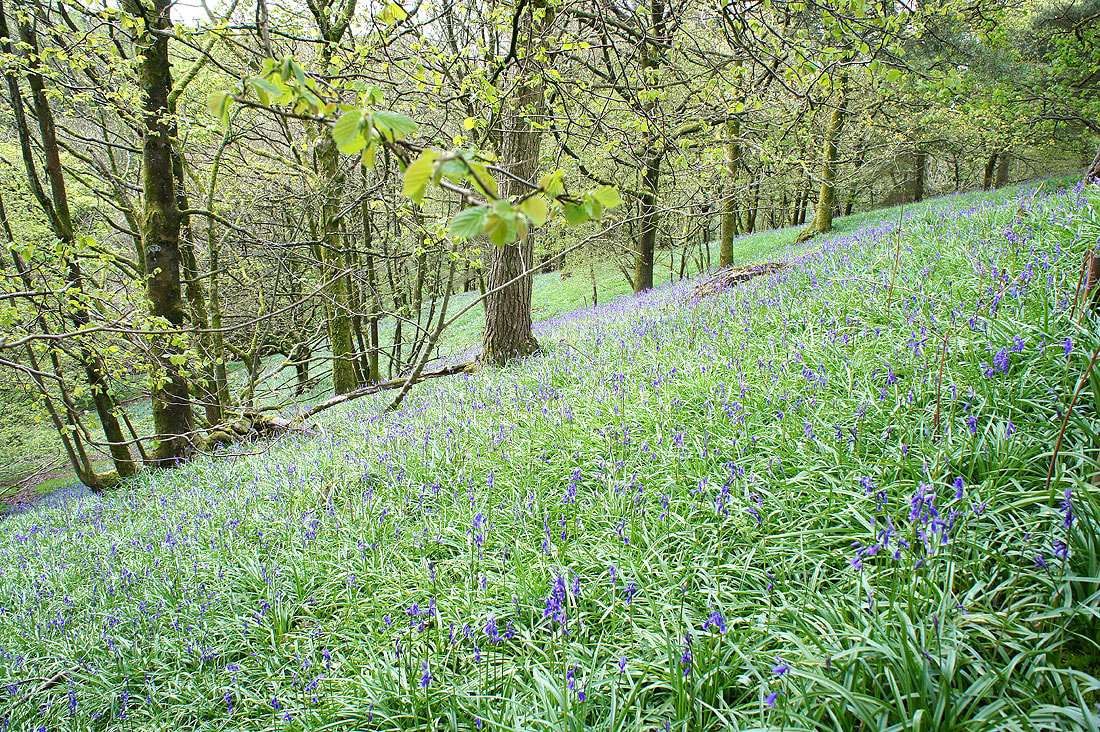
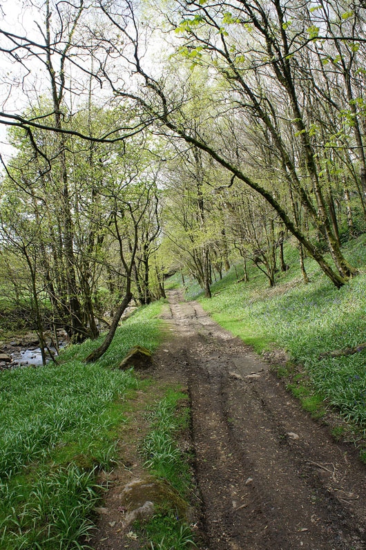
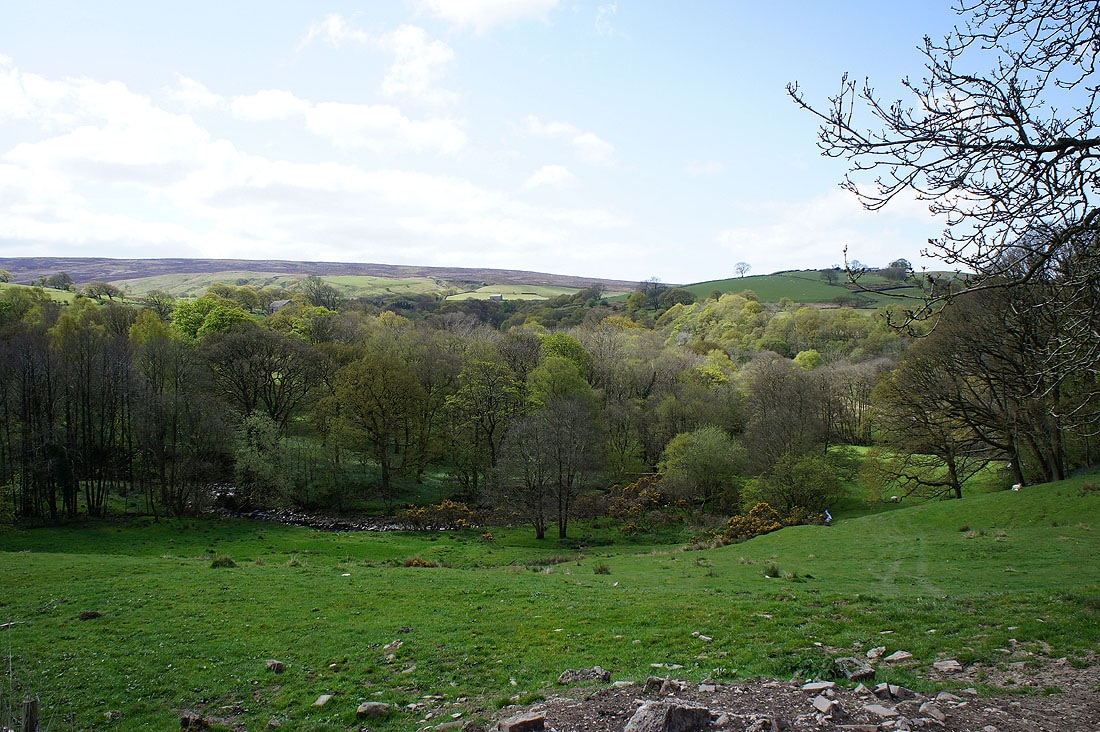
Heading back through the woods down by Littledale Beck...
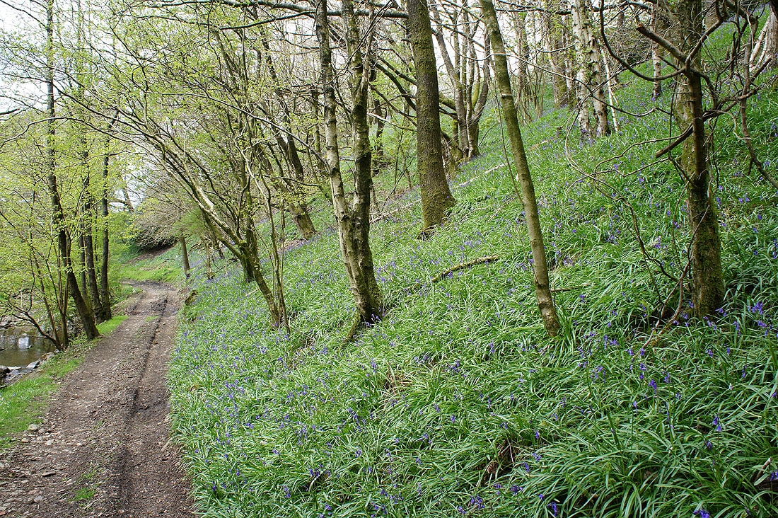
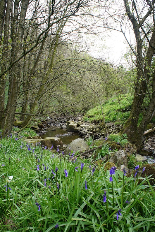
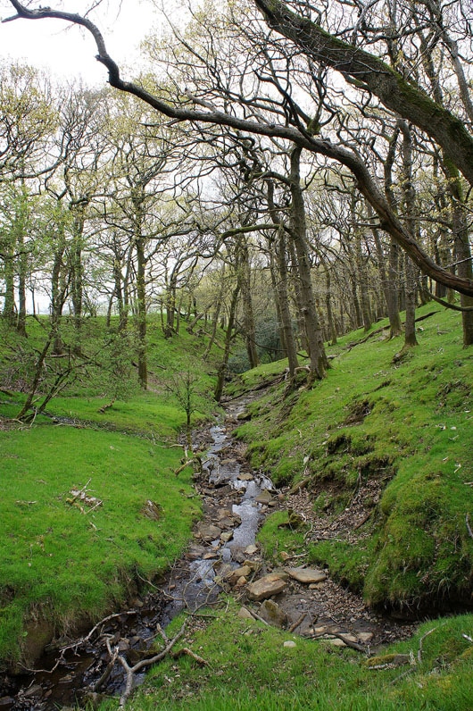
Littledale Beck
|
and again from the bridge by Littledale Hall
|
Ornamental garden behind Littledale Hall
The last of the bluebells above Foxdale Beck
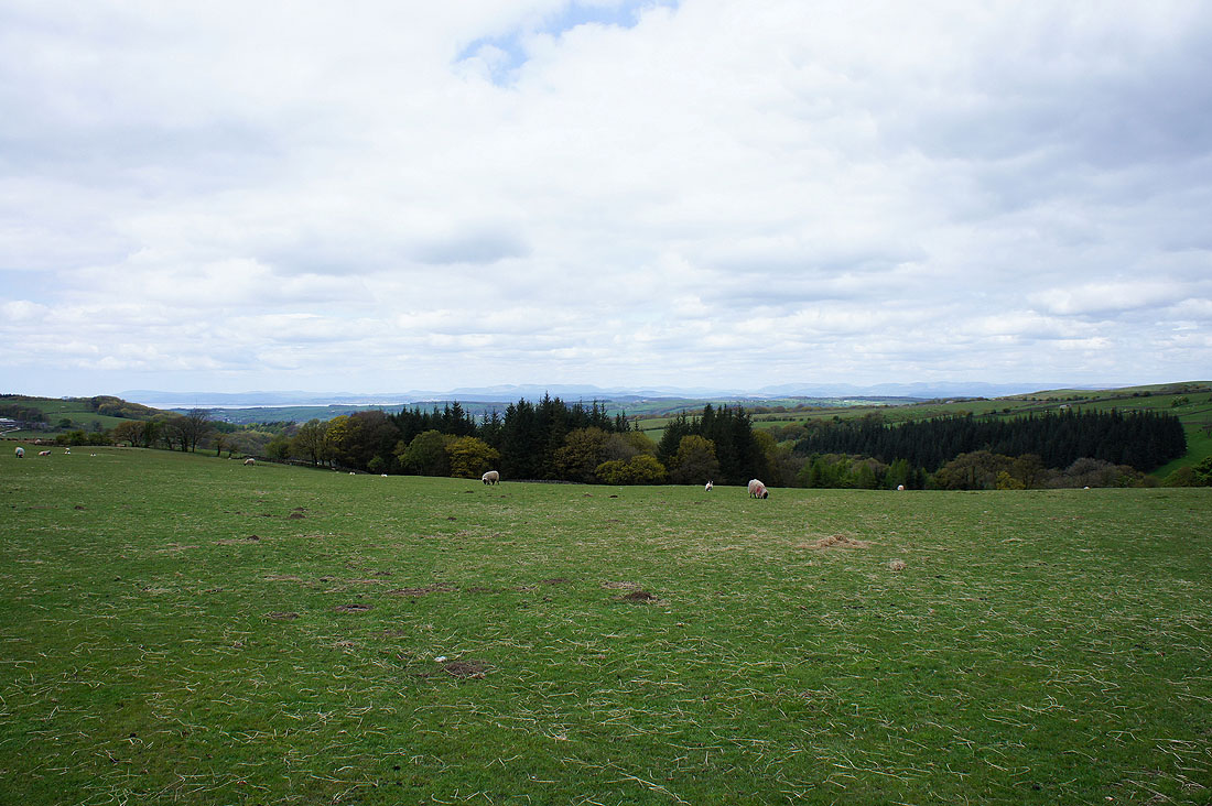
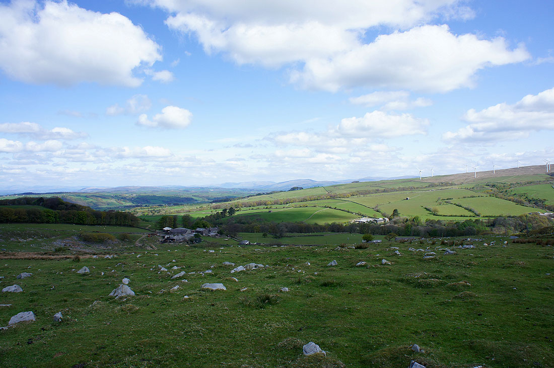
The view has opened out now as I head across a field to Field Head farm
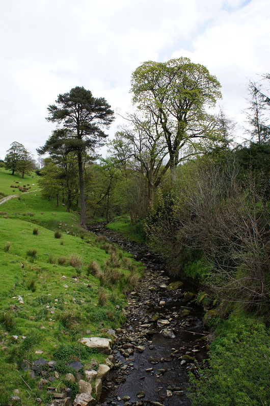
Sweet Beck
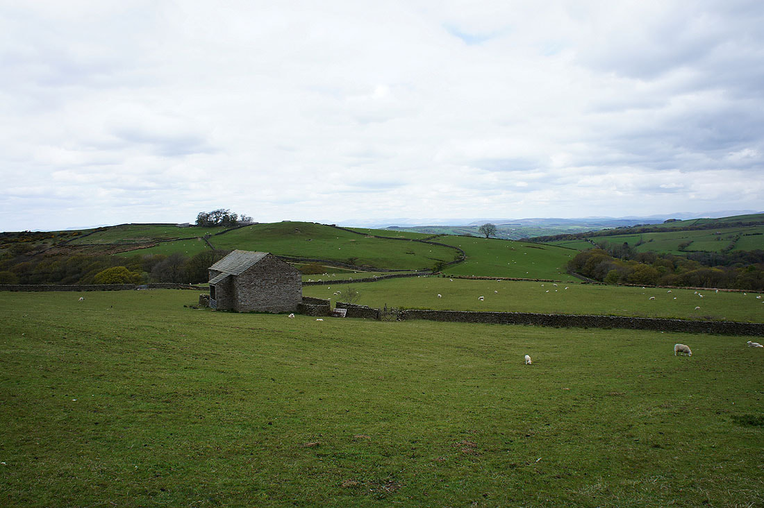
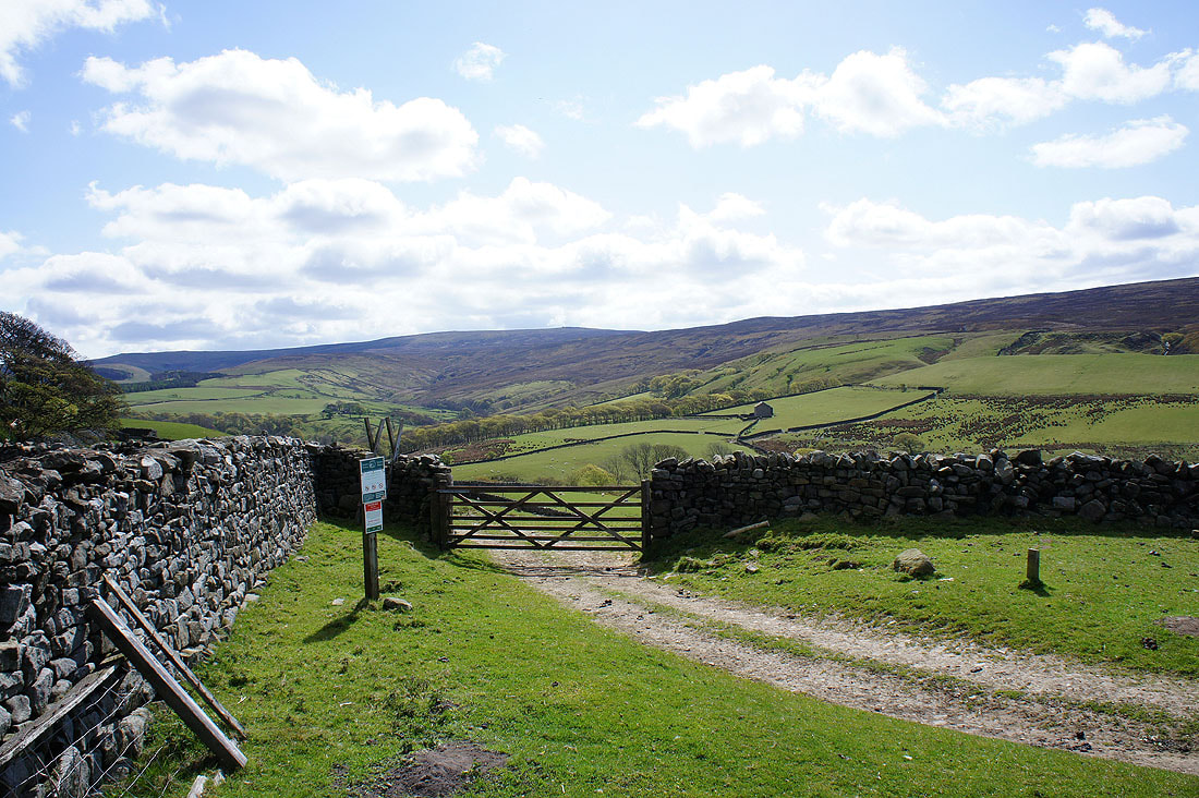
Skelbow Barn. I'm entering access land for the climb to Grit Fell.
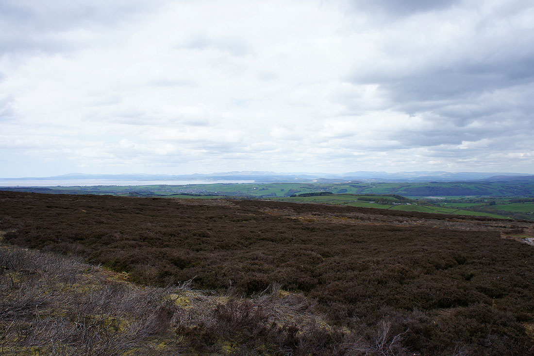
The view to Morecambe Bay as I make my way up through the heather. Unfortunately its clouded over and the breeze has picked up making it feel pretty cold.
The first sighting of the day of Ingleborough and Penyghent
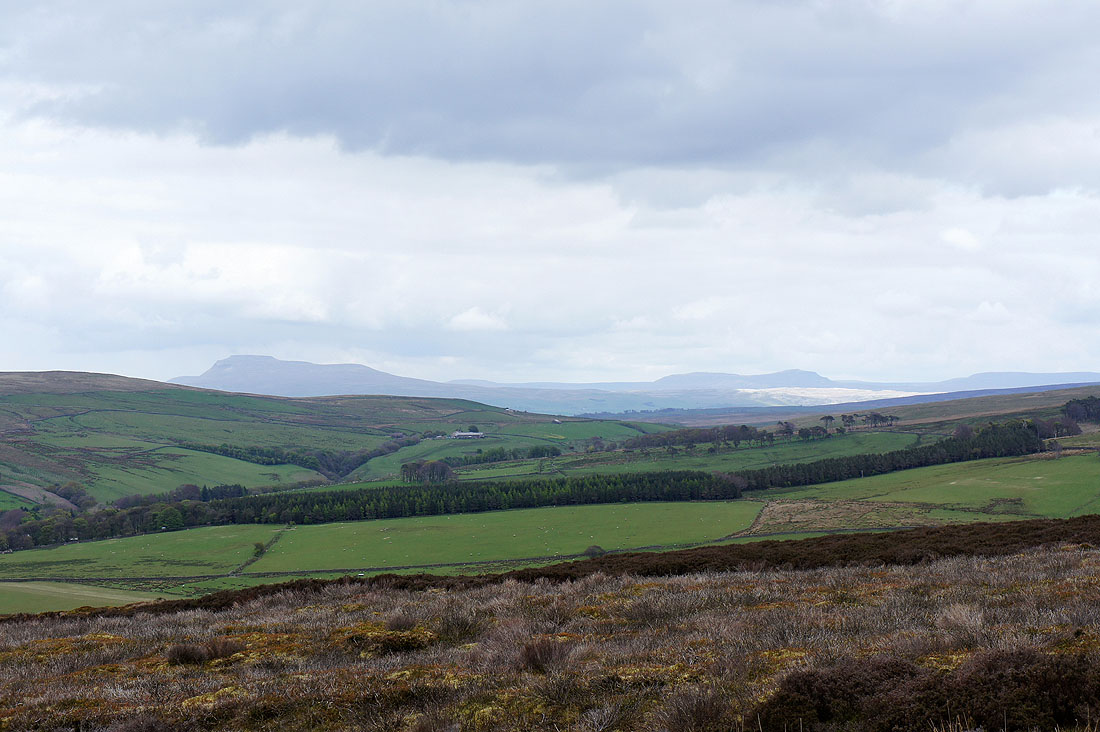
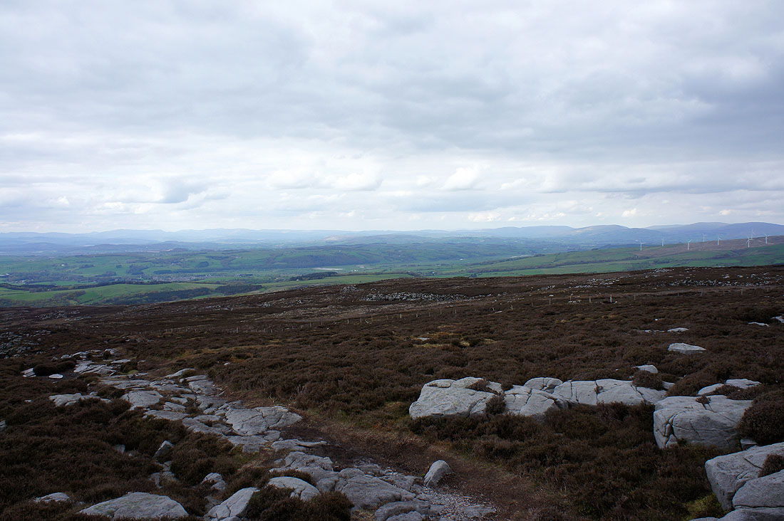
Looking over Caton Moor to the Howgills and the hills of the Yorkshire Dales
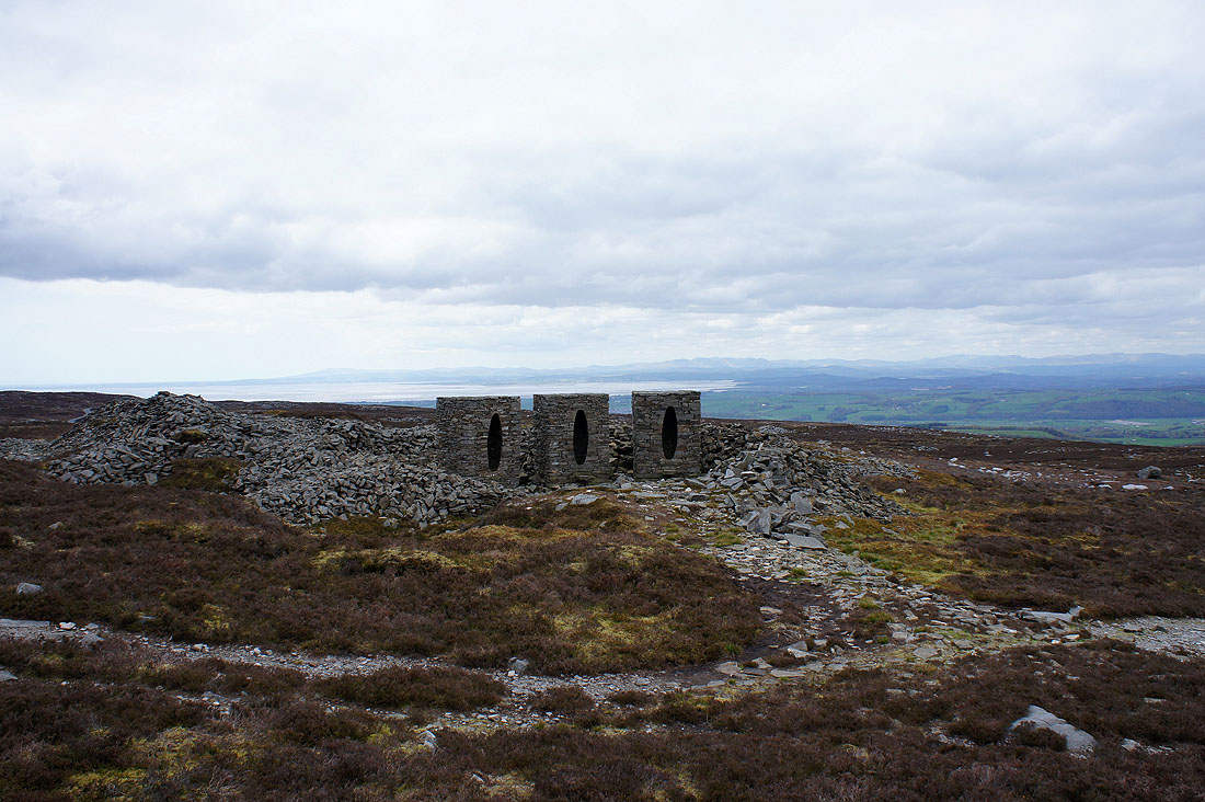
The Andy Goldsworthy "art in the countryside" installations on Clougha. You can just about see them from the shooters track I was on that heads around the back of Clougha Pike to the col between Grit Fell and Ward's Stone.
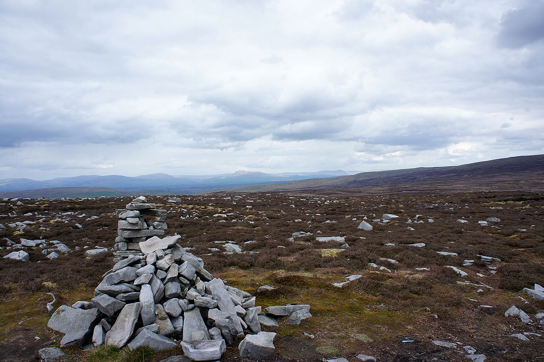
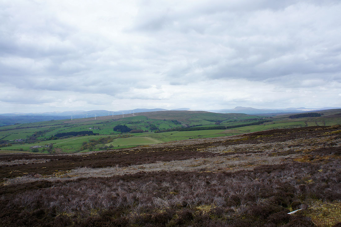
Whernside, Ingleborough and Penyghent from Grit Fell
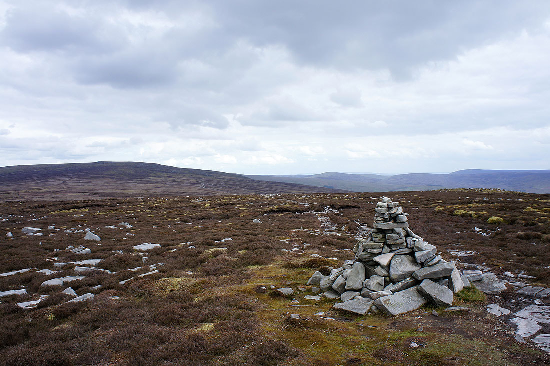
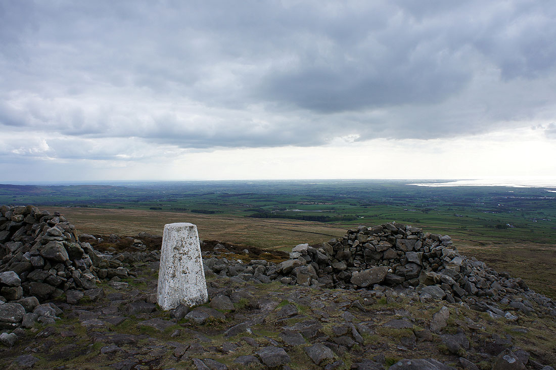
Ward's Stone and towards the Trough of Bowland
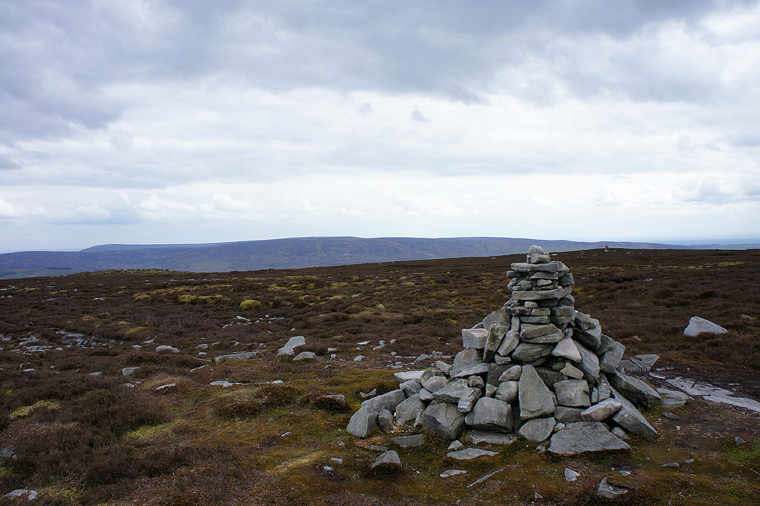
Hawthornthwaite Fell
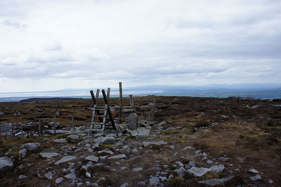
Over the stile then follow the fence to head to Clougha Pike
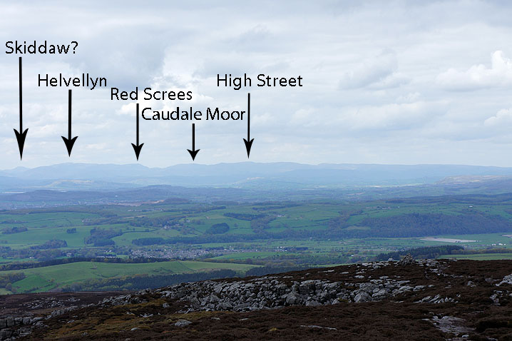
On the summit of Clougha Pike and the view across Morecambe Bay to the Lake District fells
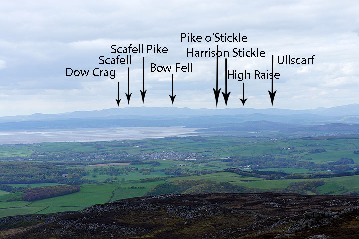
Zooming in. The air is really clear today and all the peaks are clearly visible.
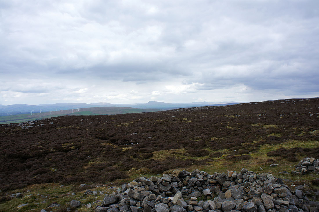
The view towards Whernside, Ingleborough and Penyghent
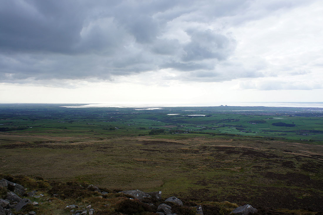
The Lune estuary
and looking down the Flyde coast
Starting to make my way back down and the Lune valley runs across the middle of the photo
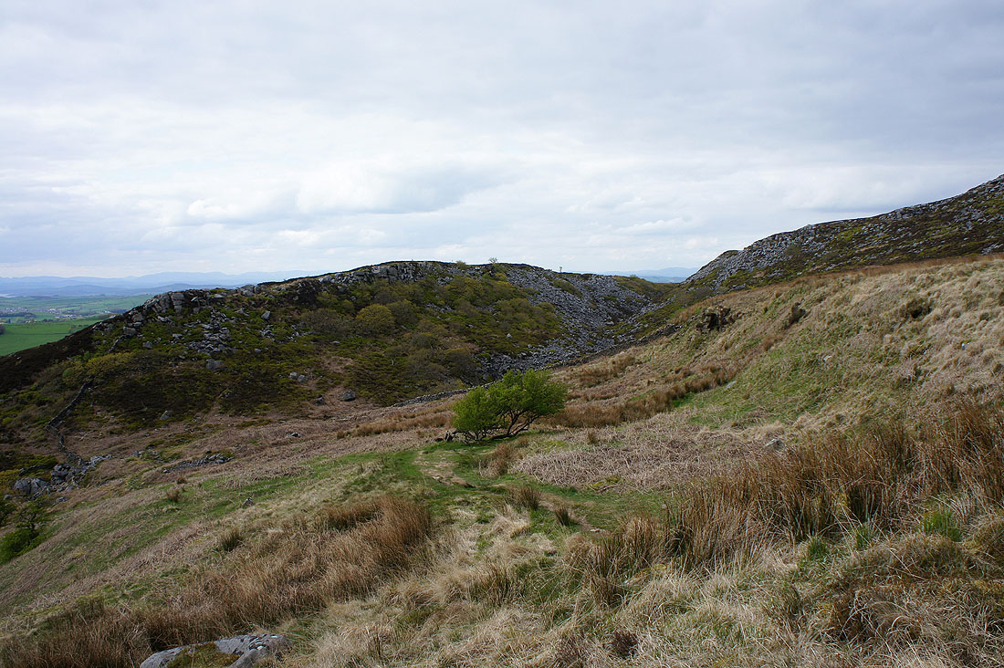
Windy Clough
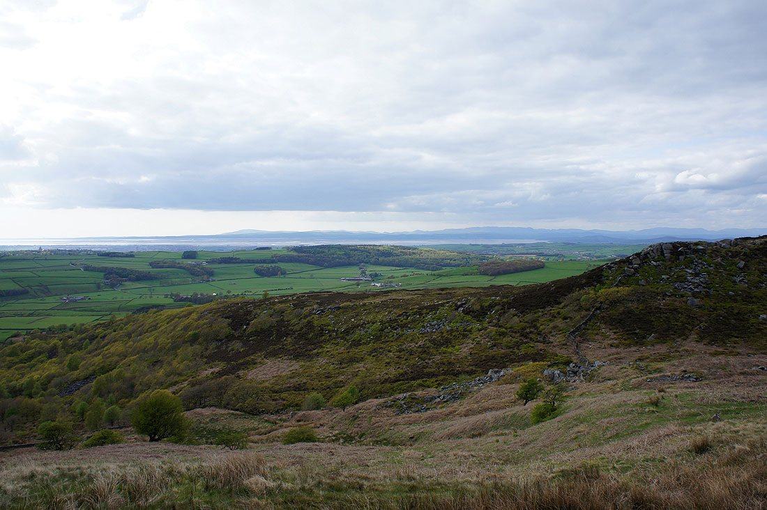
The last shot of the day is this view across Morecambe Bay from beside Windy Clough before I head down through the wood below to the car park