5th May 2013 - High Rigg & Castlerigg Stone Circle
Walk Details
Distance walked: 8.7 miles
Total ascent: 1663 ft
OS map used: OL4 - The English Lakes, North-western area & OL5 - The English Lakes, North-eastern area
Time taken: 6 hrs
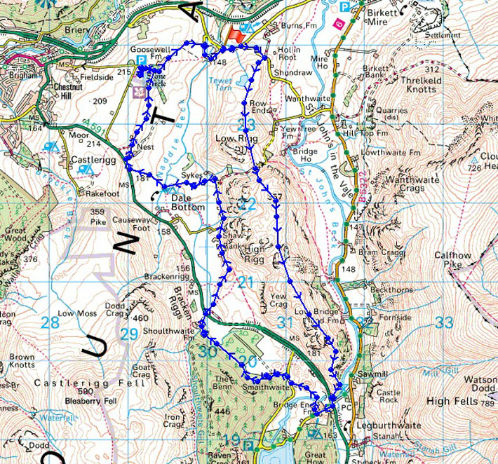
Route description: Roadside east of Naddle Bridge-Tewet Tarn-Low Rigg-St. John's in the Vale church-High Rigg-A591-Bridge End Farm-Smaithwaite-Shoulthwaite Farm-Rough How Bridge-Shaw Bank-Nest Brow-High Nest-Castlerigg Stone Circle-Roadside east of Naddle Bridge
The worst weather of the Bank Holiday weekend today with rain falling during the traverse of the High Rigg ridge. It did dry up for the second half of the walk however and the sun even put in an appearance before I'd finished.
I parked up on the verge just to the east of Naddle Bridge to start todays walk. I brief road walk uphill brought me to the footpath that heads past Tewet Tarn and Low Rigg to reach St. John's in the Vale church. I then did the traverse of the High Rigg ridge all the way to its end at the A591. The main road was crossed to Bridge End Farm and the footpath through one of the Thirlmere plantations took me to Shoulthwaite Farm and back across the main road. My route back took me down the valley of Naddle Beck with a detour on the way to see the Castlerigg Stone Circle.
Total ascent: 1663 ft
OS map used: OL4 - The English Lakes, North-western area & OL5 - The English Lakes, North-eastern area
Time taken: 6 hrs
Route description: Roadside east of Naddle Bridge-Tewet Tarn-Low Rigg-St. John's in the Vale church-High Rigg-A591-Bridge End Farm-Smaithwaite-Shoulthwaite Farm-Rough How Bridge-Shaw Bank-Nest Brow-High Nest-Castlerigg Stone Circle-Roadside east of Naddle Bridge
The worst weather of the Bank Holiday weekend today with rain falling during the traverse of the High Rigg ridge. It did dry up for the second half of the walk however and the sun even put in an appearance before I'd finished.
I parked up on the verge just to the east of Naddle Bridge to start todays walk. I brief road walk uphill brought me to the footpath that heads past Tewet Tarn and Low Rigg to reach St. John's in the Vale church. I then did the traverse of the High Rigg ridge all the way to its end at the A591. The main road was crossed to Bridge End Farm and the footpath through one of the Thirlmere plantations took me to Shoulthwaite Farm and back across the main road. My route back took me down the valley of Naddle Beck with a detour on the way to see the Castlerigg Stone Circle.
Route map
© Crown copyright. All rights reserved. License number PU 100034184.
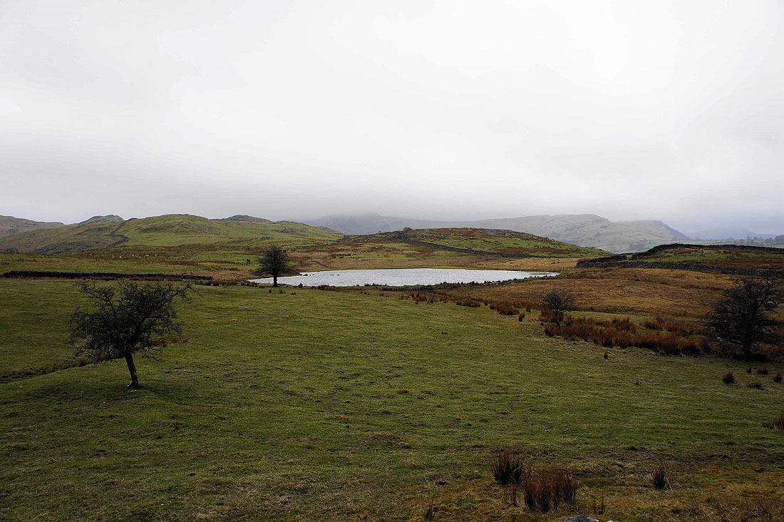
Approaching Tewet Tarn
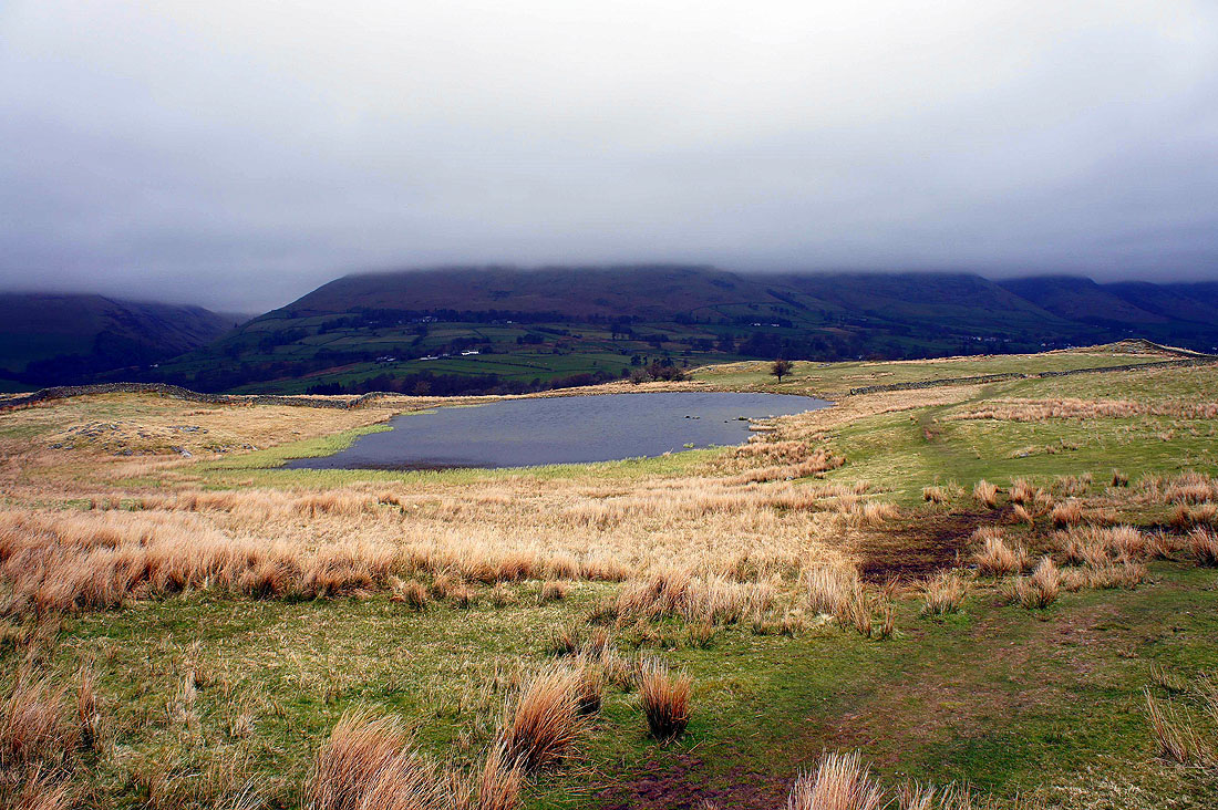
A retrospective view of the tarn with cloud sitting low on Blencathra behind
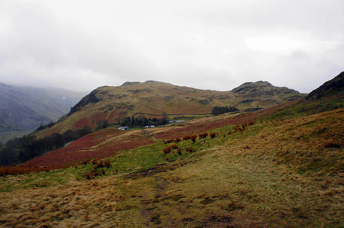
High Rigg with the church of St. John's in the Vale in the trees below
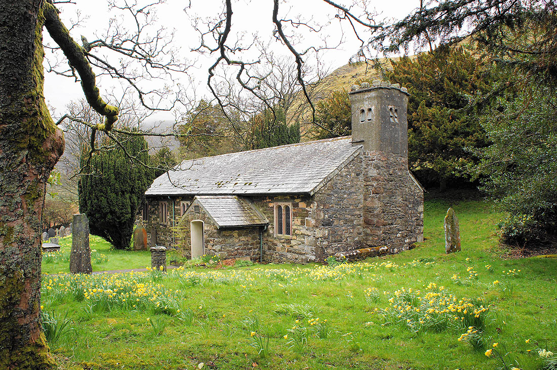
The parish church of St. John's in the Vale
On the summit of High Rigg and there isn't much to see. Blencathra is out there somewhere.
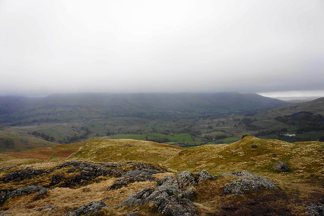
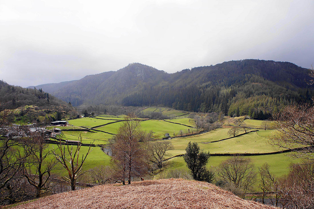
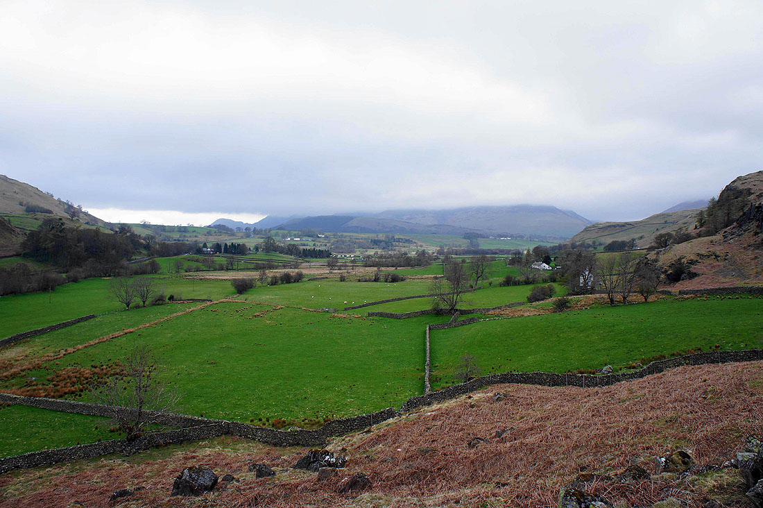
The Vale of Keswick
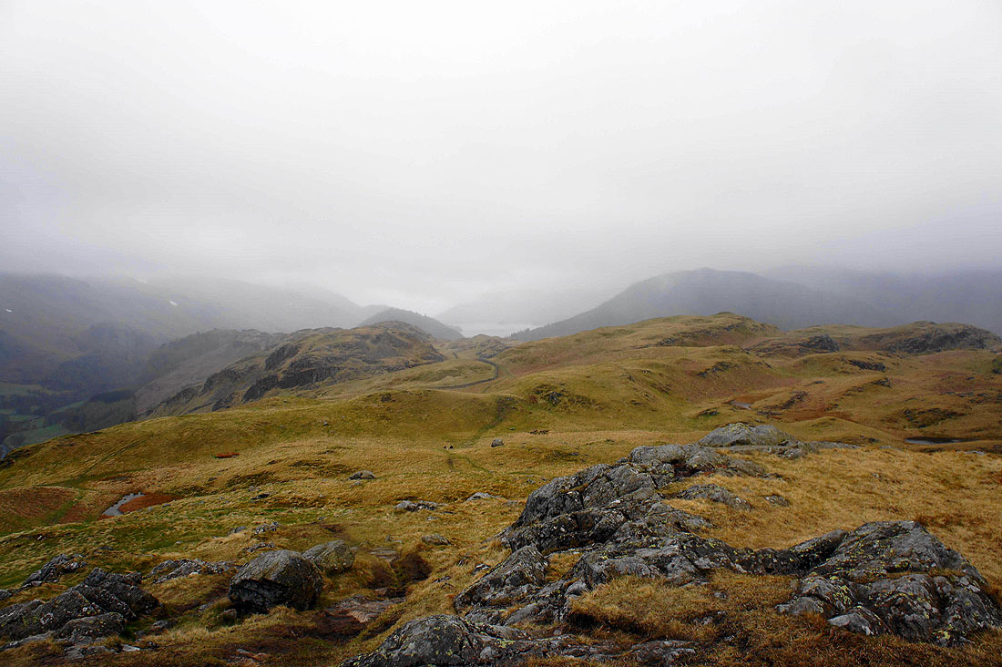
The ridge of High Rigg heading south
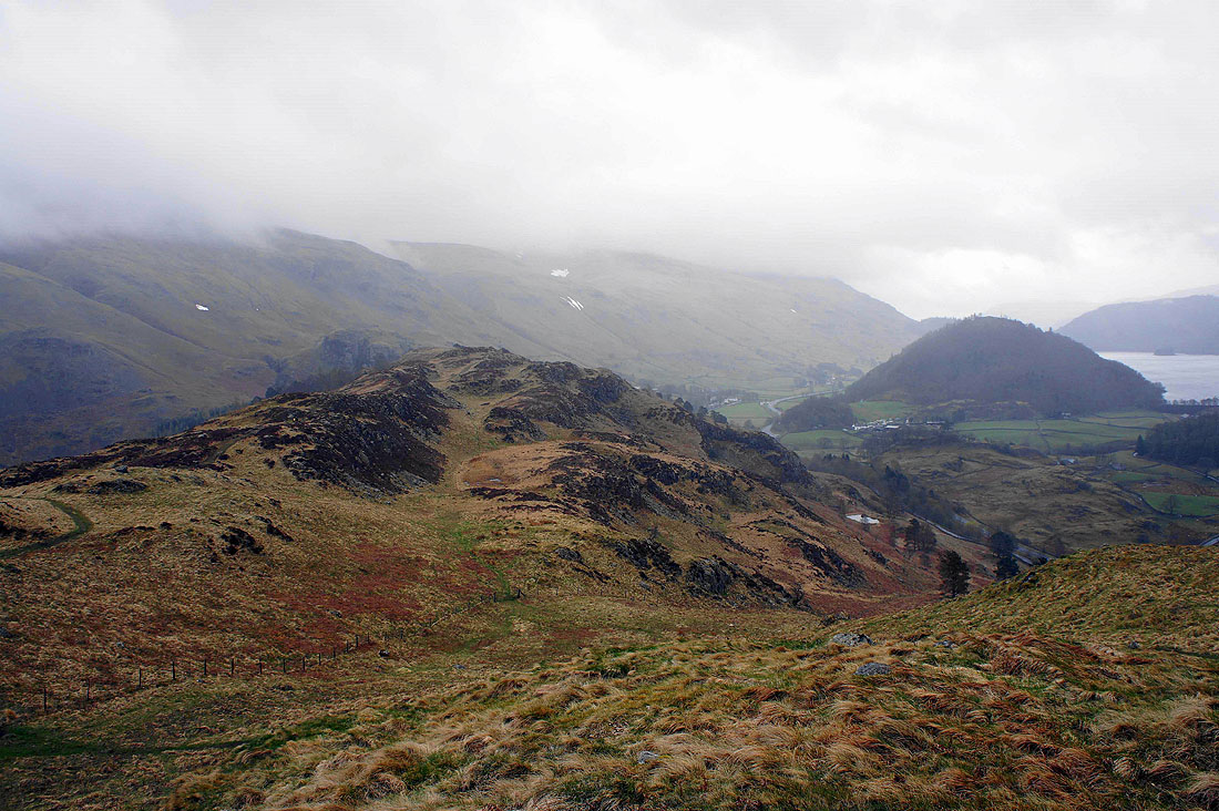
Wren Crag as I near the end of the ridge
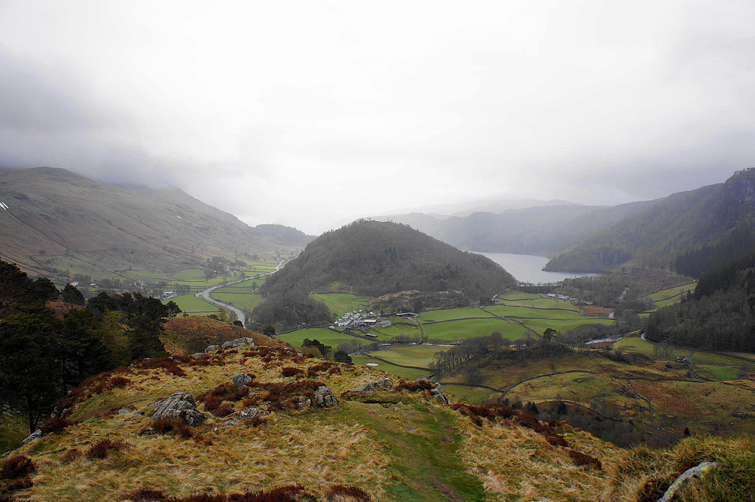
Great How and Thirlmere
The rain has finally stopped as I head down
Raven Crag as the sun puts in a brief appearance
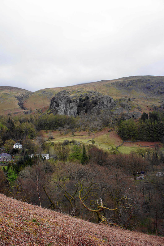
Castle Rock
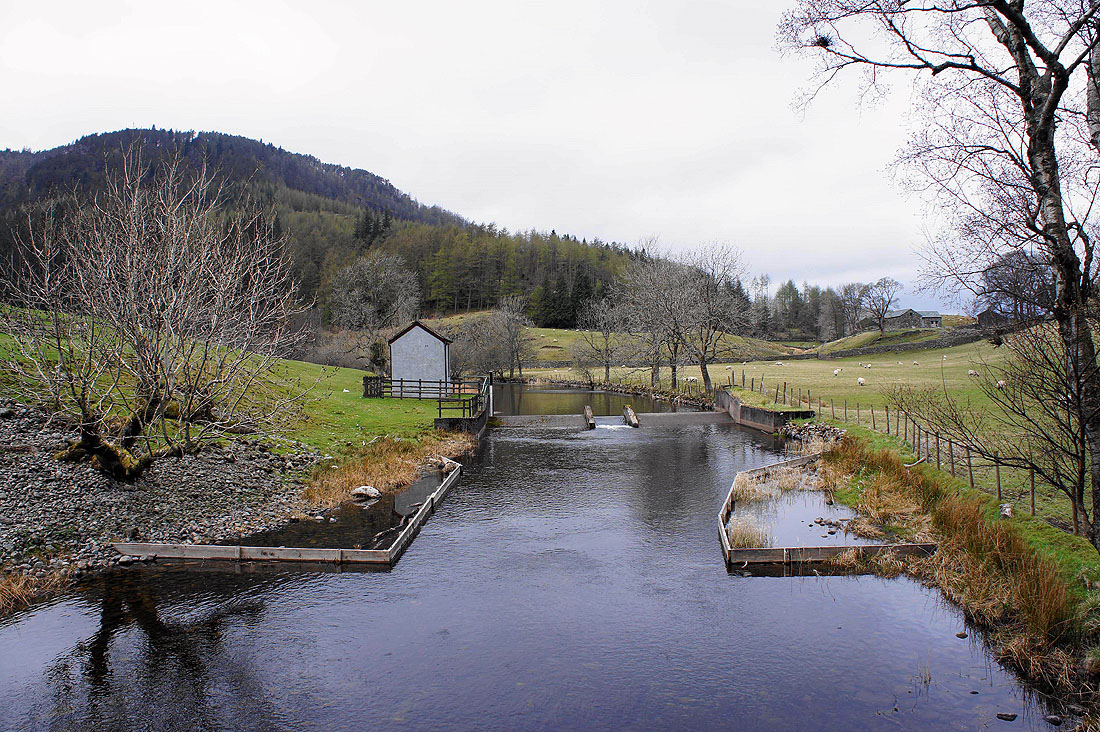
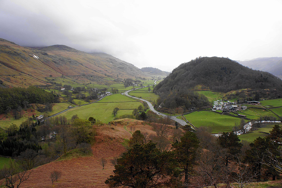
Crossing St. John's Beck after passing through Bridge End Farm
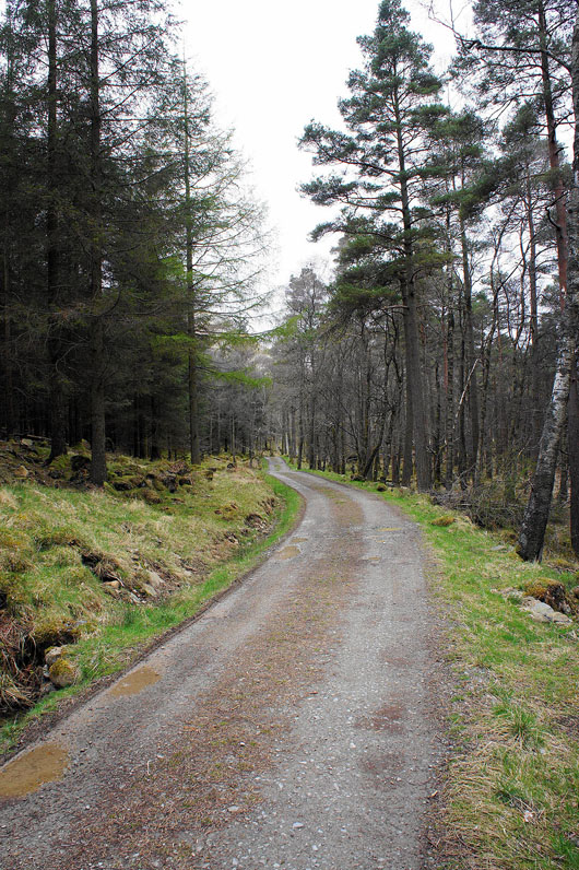
On the forest track to Shoulthwaite Farm
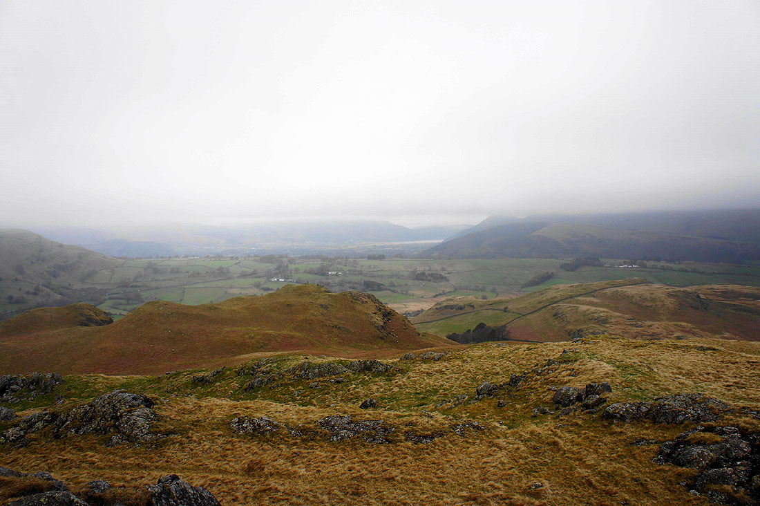
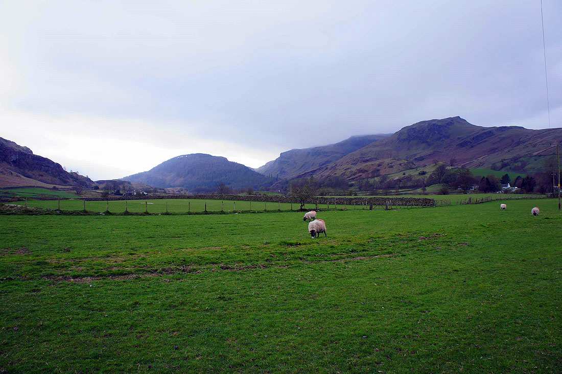
Looking down the valley of Naddle Beck and cloud is sitting low on Skiddaw
Great How and I think that's Dodd Crag on the right
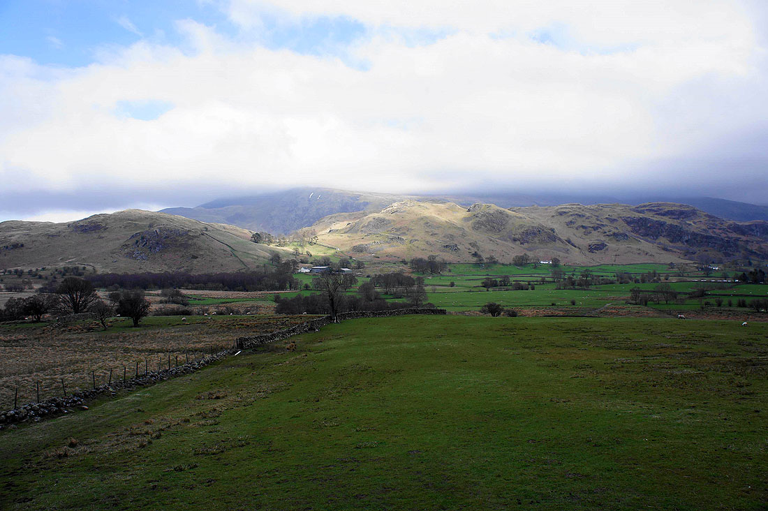
High Rigg as I reach the A591 at Nest Brow
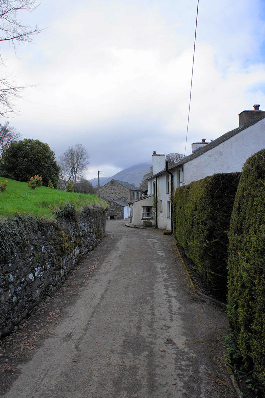
Passing through High Nest
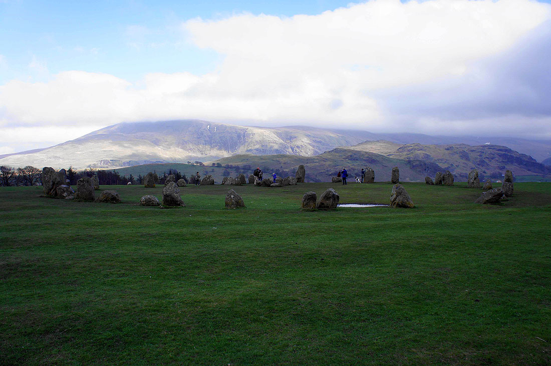
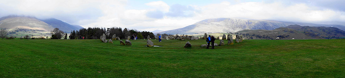
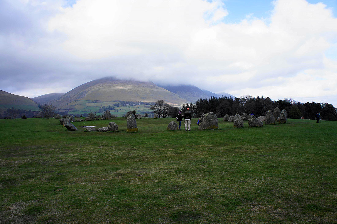
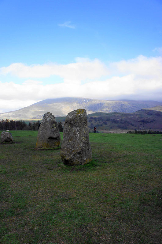
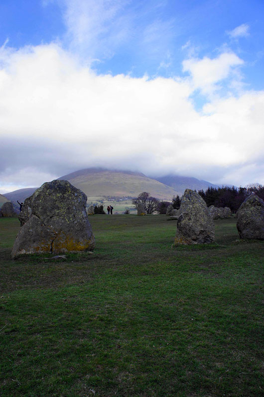
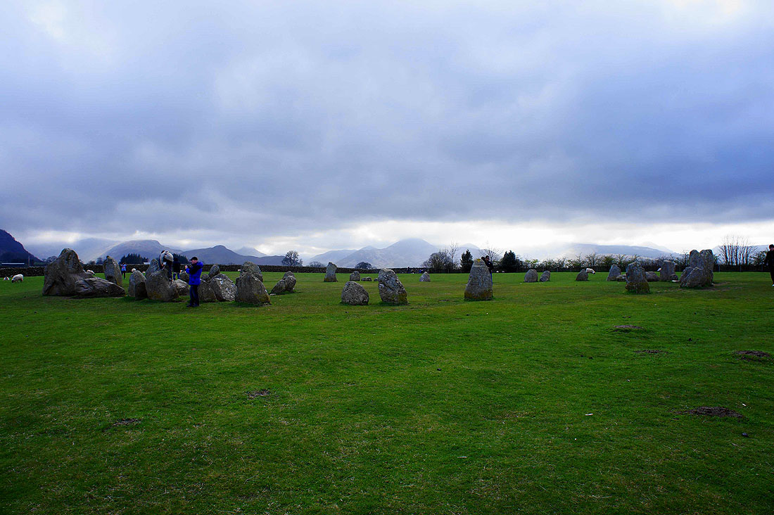
Castlerigg Stone Circle, the highlight of the day. In the background are Clough Head and the Dodds in cloud with High Rigg in front.
Blencathra
The northwestern fells around the Newlands valley in the distance