5th November 2016 - Stanage Edge
Walk Details
Distance walked: 7.2 miles
Total ascent: 1052 ft
OS map used: OL1 - The Peak District, Dark Peak area
Time taken: 6.5 hrs
Route description: Hollin Bank car park-Stanage Edge-Long Causeway-Stanage End-High Neb-Stanage Edge-Overstones trig point-Carhead Rocks-Hollin Bank car park
Since my first time on Stanage Edge in 2013 I've paid it a visit each year and this one will be no exception. The gritstone edge top walks that can be done in the Peak District are among my favourites and Stanage Edge is right up there near the top of the list, though Froggatt and Curbar Edges a little further south down the Derwent Valley are not far behind. A change of month has brought a change to colder autumn weather and there was real chill in the air this morning. The strong northeasterly wind on Stanage Edge was cold enough to numb my hands and after a sunny start that wind brought cloudier skies and a couple of brief showers. It's the sort of weather I enjoy though (as long as I'm appropriately clothed); great visibility and a mix of bright sunshine and blue skies for taking in the autumn colours.
From the back of the NP car park at Hollin Bank I made my way uphill through Stanage Plantation to Stanage Edge. However, no sooner had I made it to the edge then I left it for the Long Causeway bridleway back down and then the path that runs north under the edge to Stanage End. After taking a break at Stanage End I walked south along Stanage Edge, past the trig point at High Neb (lunch was taken just south of here) to eventually arrive at the trig point at the southern end of the edge. From here I made my way down to the car park at the road junction below and after a brief walk south along the road to Dale Bottom I took the path onto access land to reach Carhead Rocks. After an unsuccessful wait to see the sunset I walked north from Carhead Rocks and across Cattis-side Moor to reach the road back to the car park.
Route map
© Crown copyright. All rights reserved. License number PU 100034184.
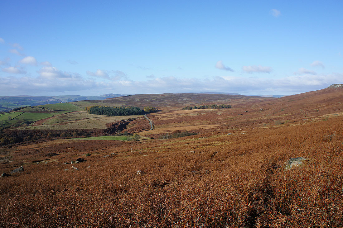
Just five minutes after leaving the car park and I already have a view of Stanage Edge
Looking west to Bamford Moor
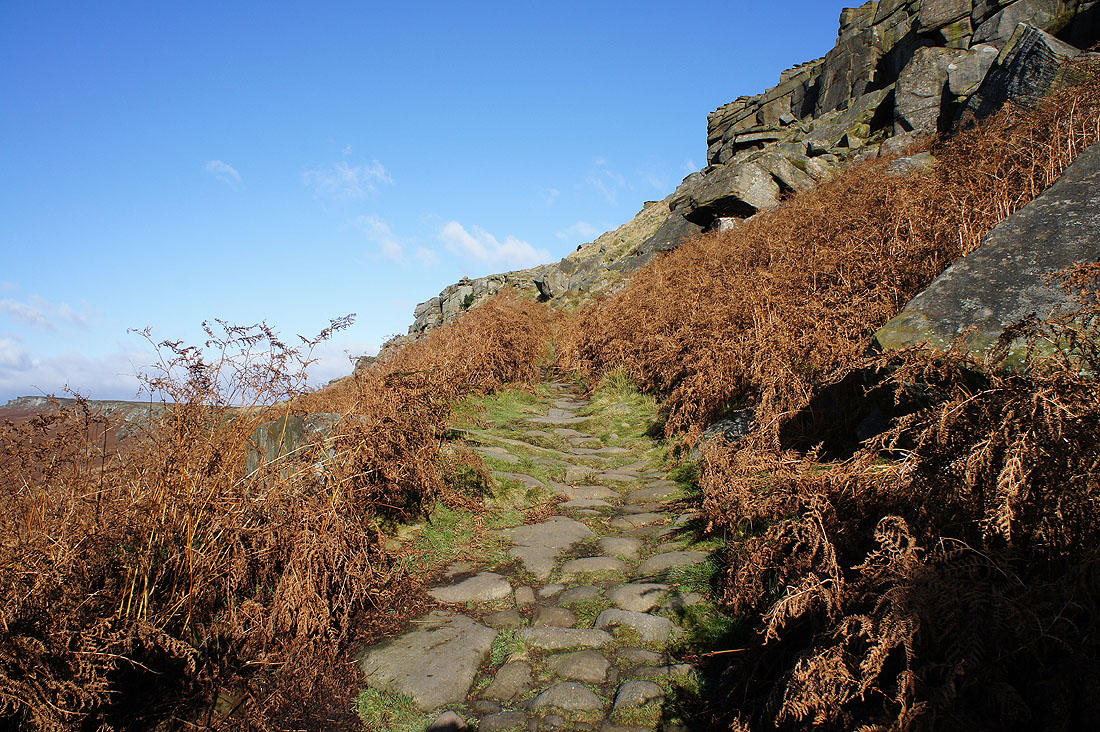
Up onto the edge
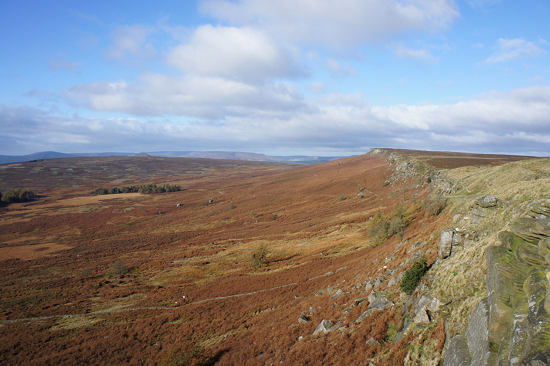
Looking northwest along the edge and there's a strong and cold wind up here this morning
Straight back down though and onto the Long Causeway byway
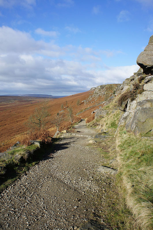
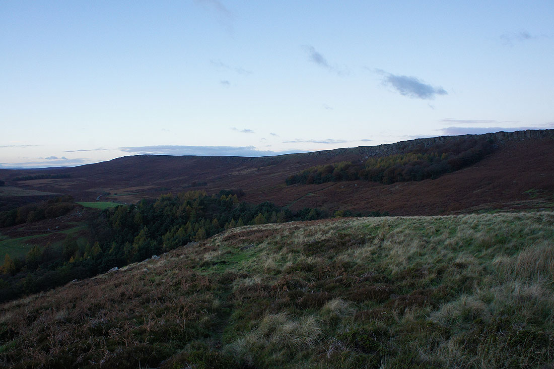
Looking back as I leave the byway and take the path underneath the edge to Stanage End
Past the crags of High Neb
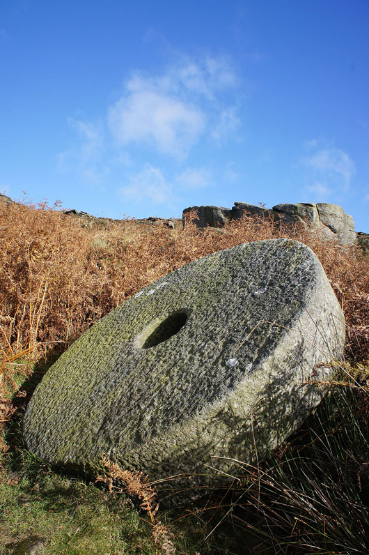
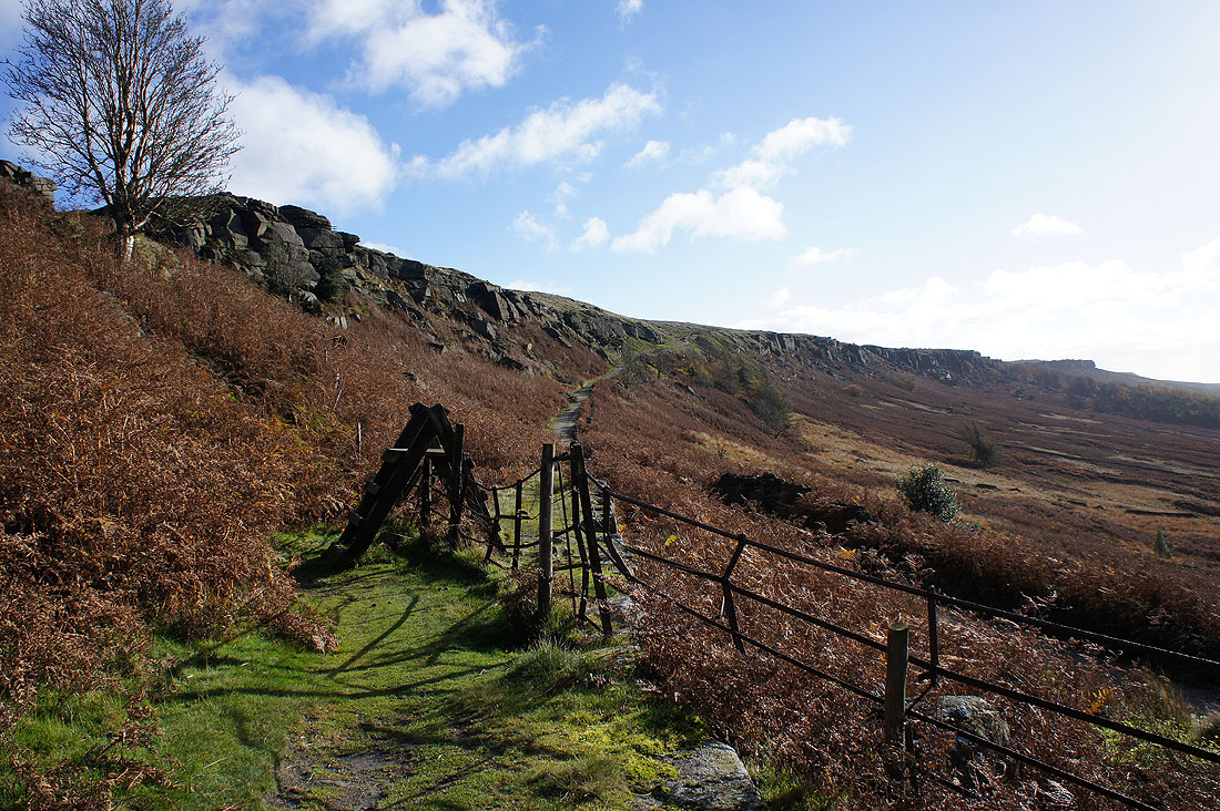
There are plenty of abandoned millstones by this path
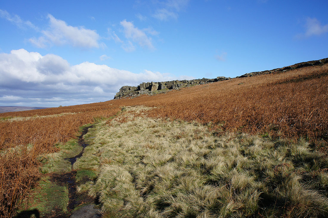
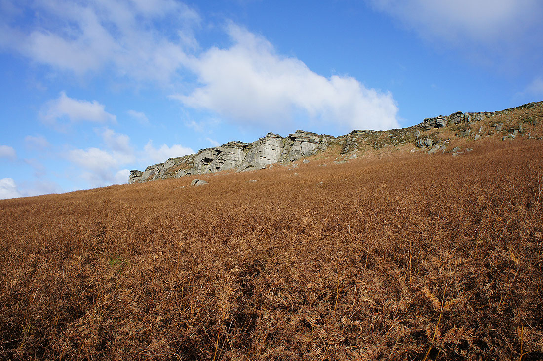
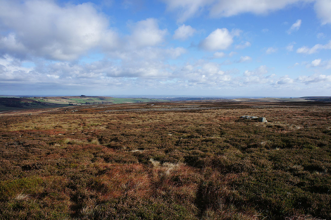
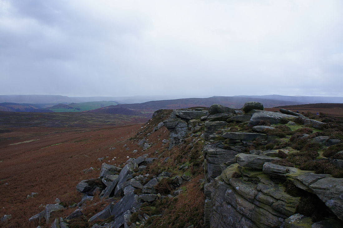
Approaching the crags of Stanage End
Before I get up onto Stanage End, a photo of the view west to Win Hill and Kinder Scout
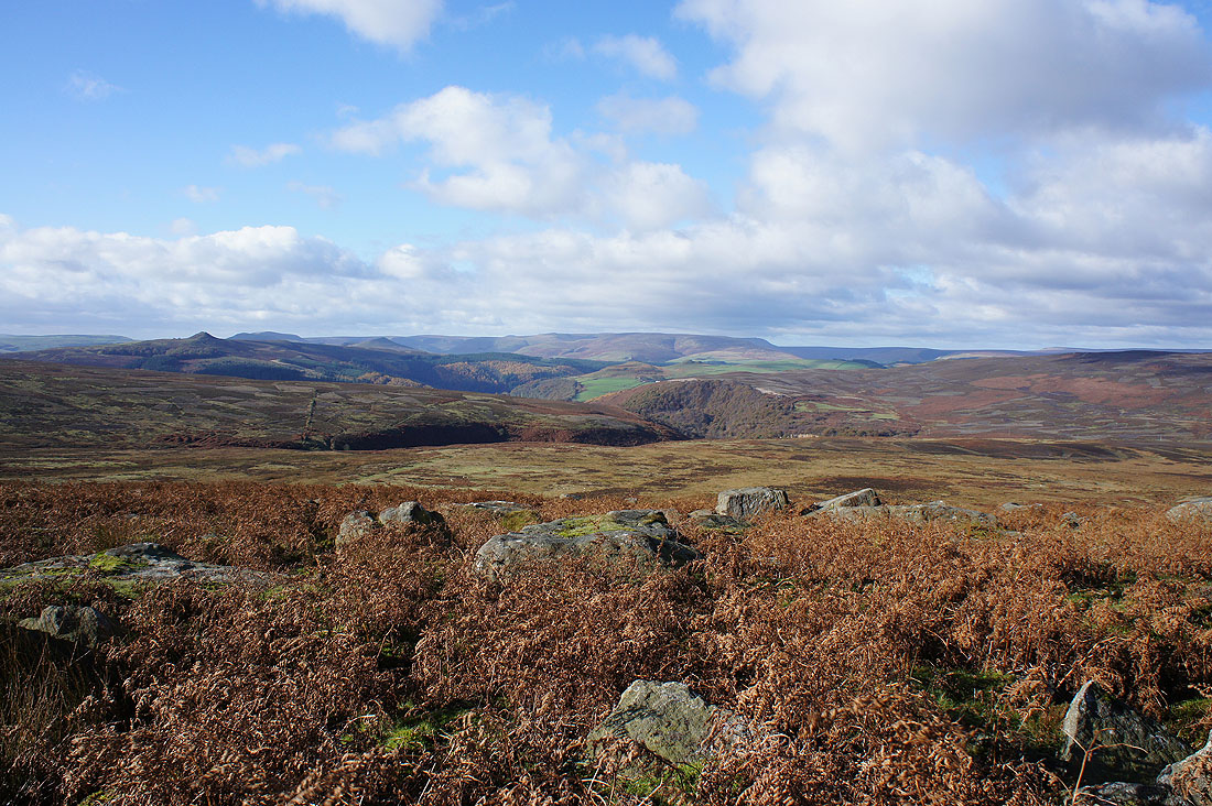
After having a bit of break a few photos of the view from Stanage End. Derwent Edge and Back Tor to the northwest.
I can just about make out Sheffield to the east
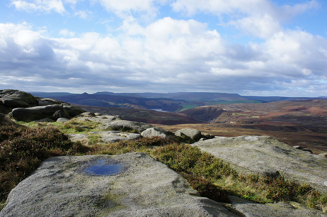
Win Hill, Mam Tor, Kinder Scout and a bit of Ladybower Reservoir
The Hallam Moors to the east
At the crags of Crow Chin before I reach the trig point on High Neb. The weather is taking a turn for the worse.
As can be seen if I turn around
I decided to have my lunch here just below the edge while the shower passed through. There was a bit of wintriness in it and a bitter wind picked up.
Ten minutes later and the sun is back out. The view from High Neb. Bleaklow in the distance beyond Derwent Edge.
Mam Tor, Win Hill, Lose Hill and Kinder Scout
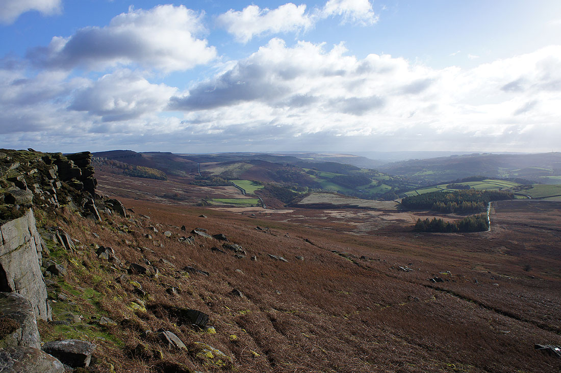
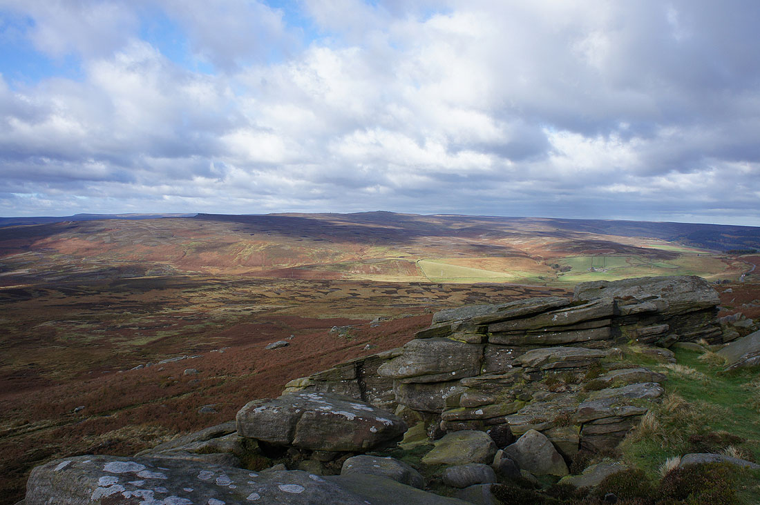
Looking south down the Derwent Valley to Carhead Rocks, Over Owler Tor and Froggatt Edge
The trig point on High Neb
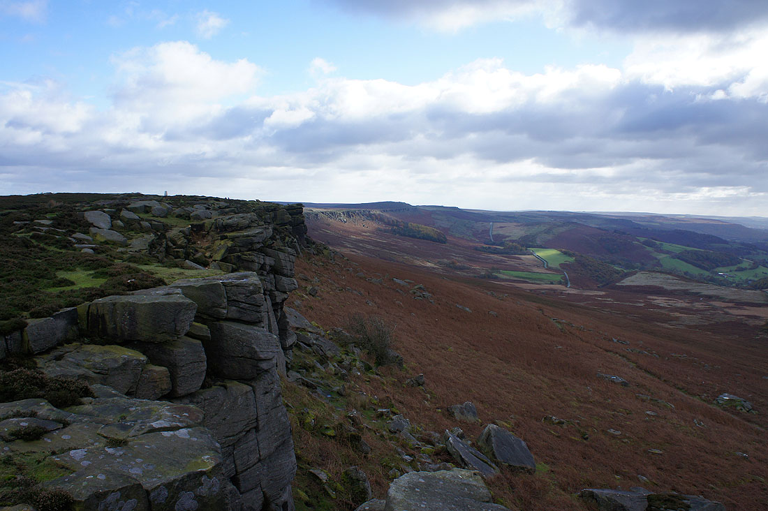
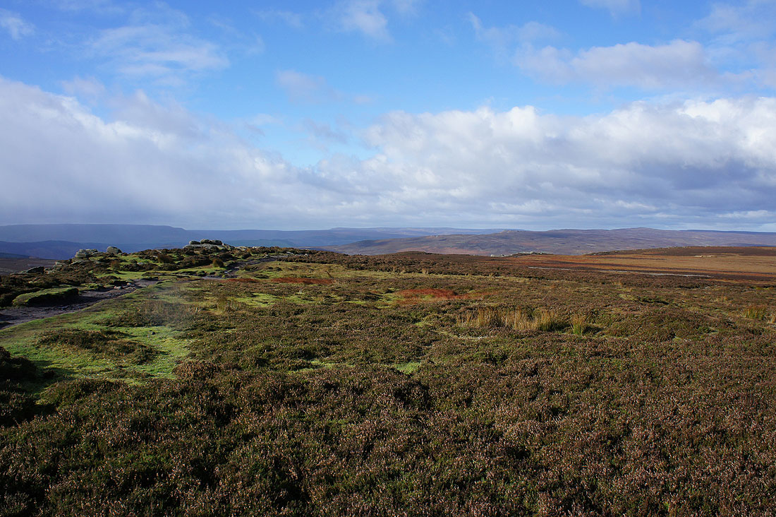
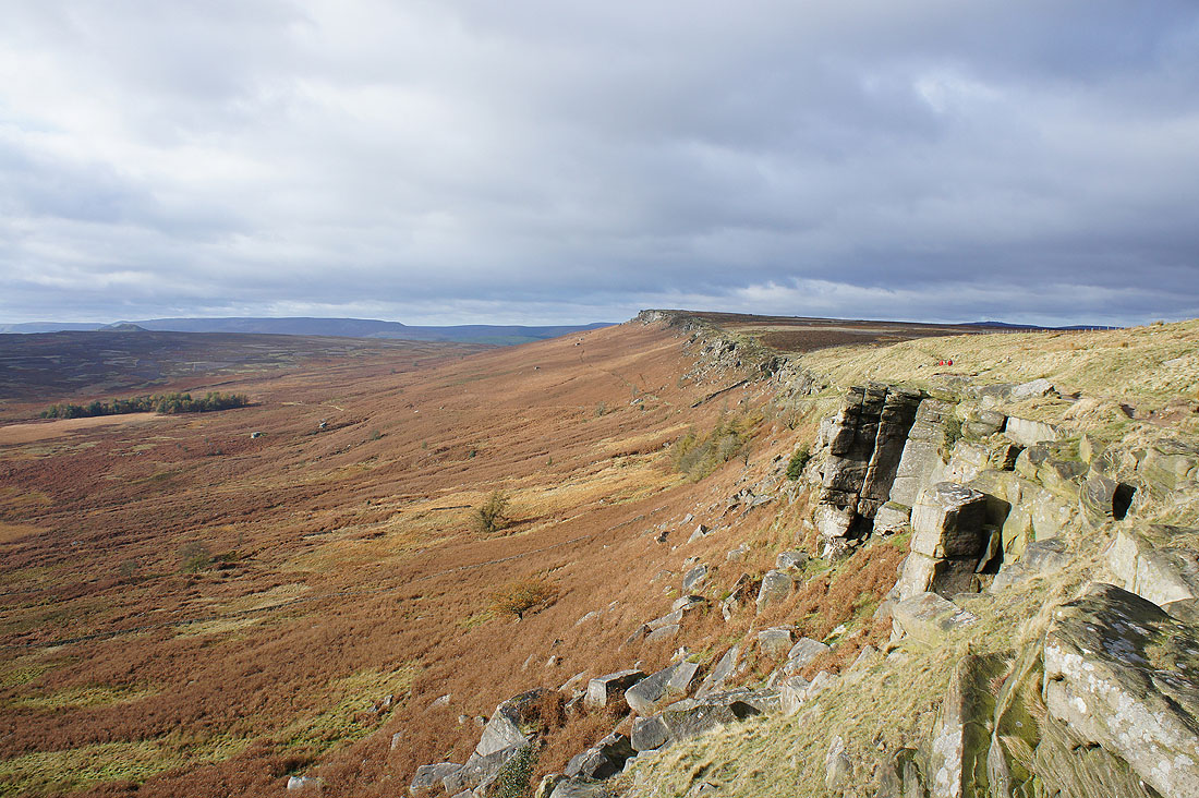
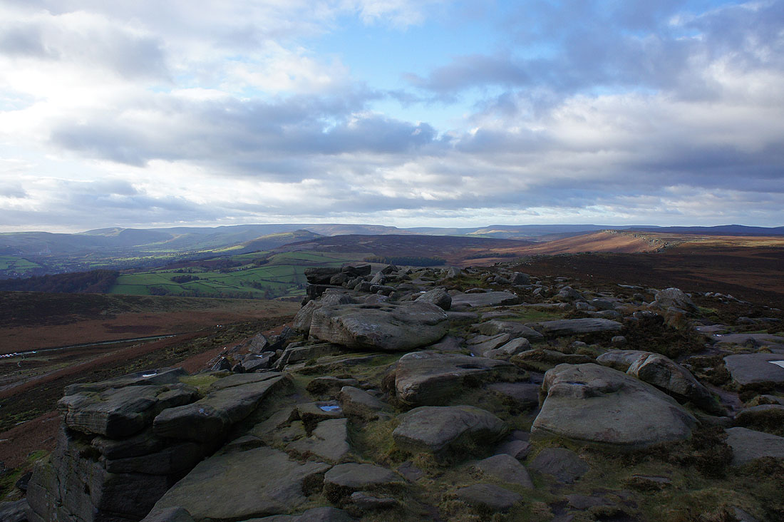
Just past the trig point and I can see the edge stretching out before me
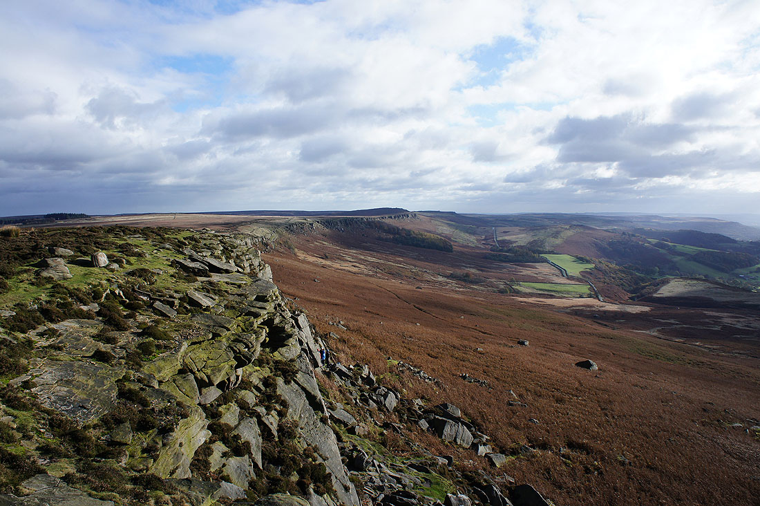
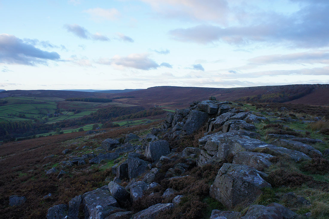
Past the point where I joined the edge earlier in the day and approaching Stanage Plantation. I've seen a few climbers up to now but their numbers will certainly increase from now on.
Looking back to High Neb
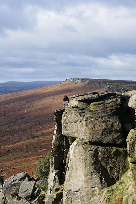
A climber on Stanage Edge
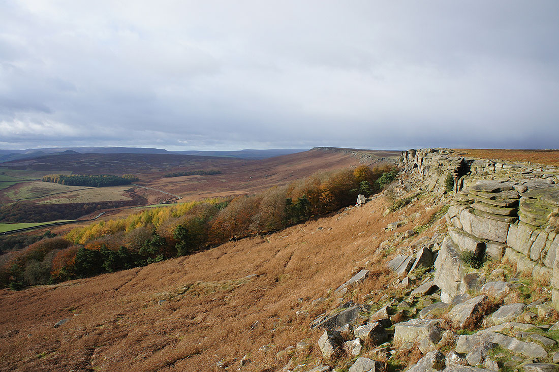
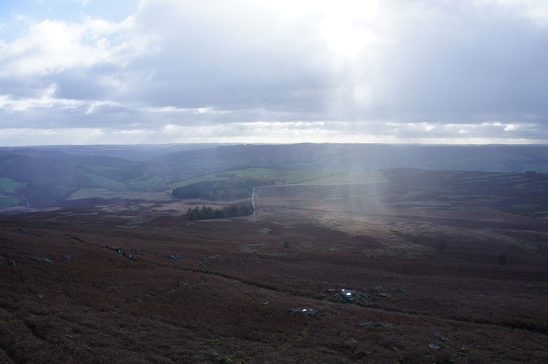
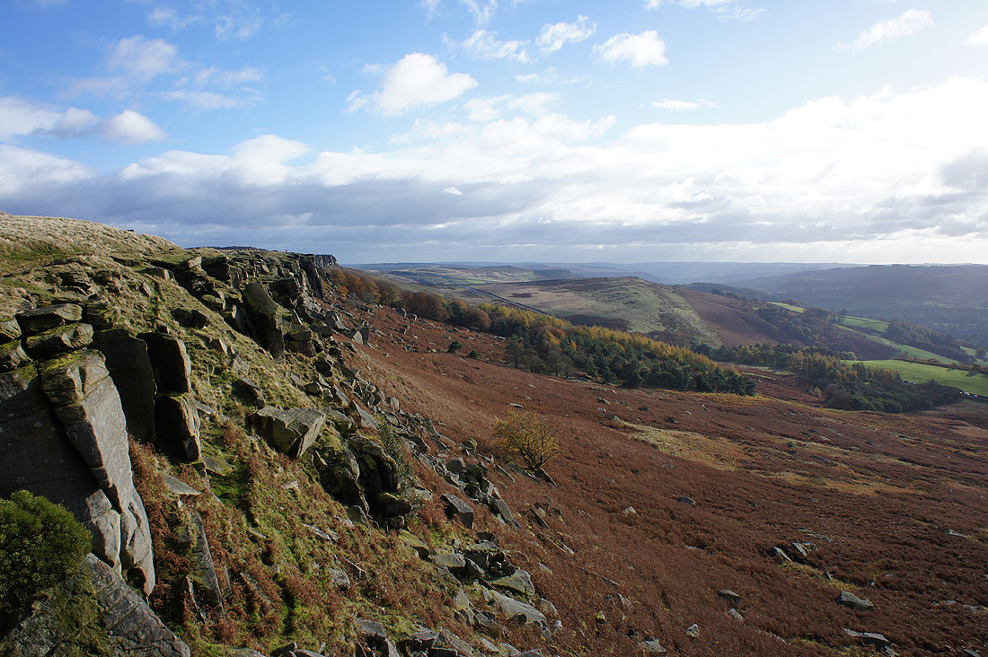
Looking back after passing Stanage Plantation and the skies are clouding over again. The crags look good with the afternoon sun shining on them.
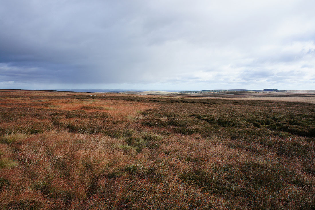
Another shower sweeps across the Derwent Valley. It wasn't heavy, just a nuisance with the drops of rain getting on my glasses.
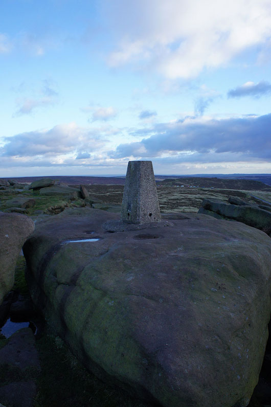
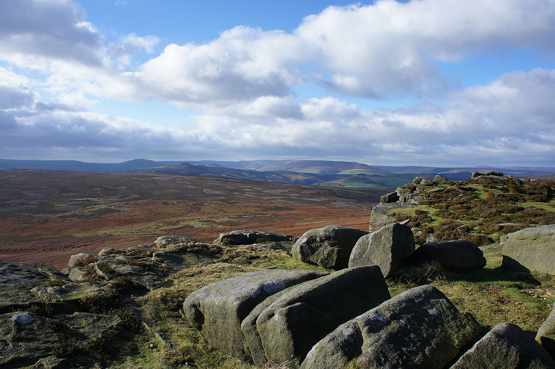
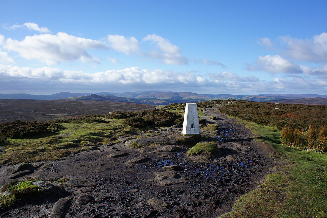
At the trig point at the southern end of Stanage Edge
The view west to Mam Tor, Win Hill and Kinder Scout
Higger Tor, Over Owler Tor and Millstone Edge
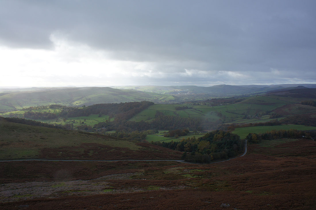
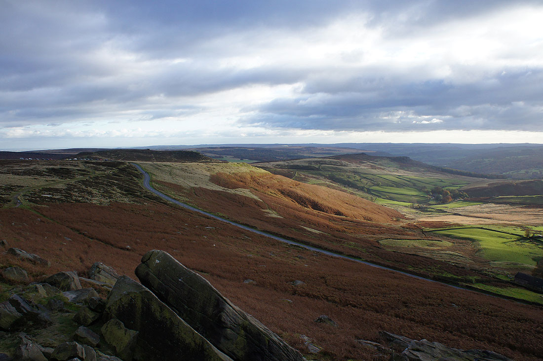
Sunshine on the Hope Valley. I'm now going to head to Carhead Rocks, the sunlit hillside on the other side of the road below.
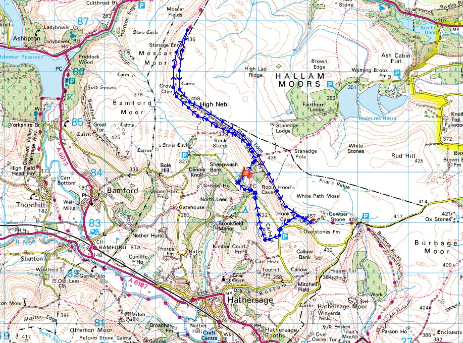
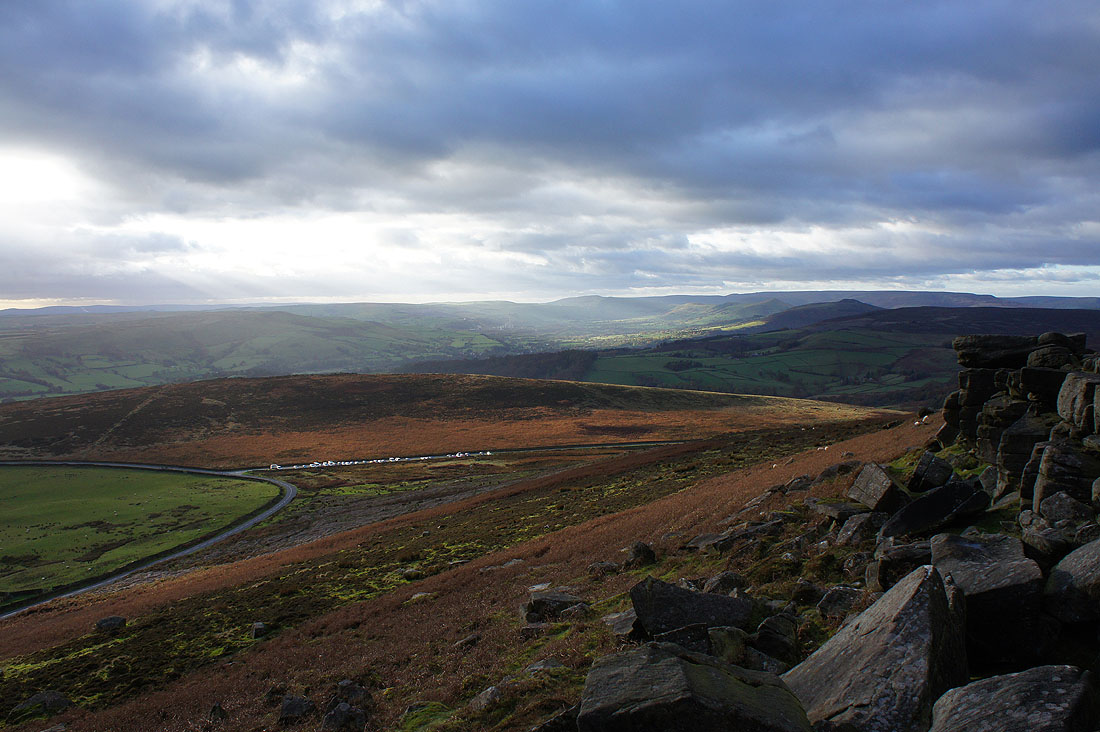
On Carhead Rocks and I had hoped to see the sunset from here
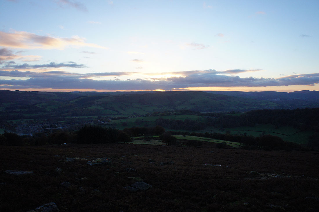
Unfortunately that cloud didn't get out of the way in time
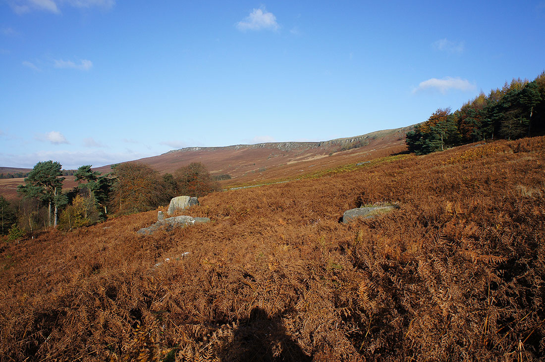
Leaving Carhead Rocks and the car park isn't far away, in the trees below Stanage Edge