5th November 2017 - Ingleborough
Walk Details
Distance walked: 10.0 miles
Total ascent: 1987 ft
OS map used: OL2 - Yorkshire Dales, Southern & Western areas
Time taken: 6 hrs
Route description: Ribblehead-Gunnerfleet Farm-Philpin Lane-Low Sleights Road-Southerscales Scars-Humphrey Bottom-Ingleborough-Simon Fell-Park Fell-Colt Park-Gauber Road-Ribblehead
I'm struggling with trying to think of places to go at the moment, so today I ended up resorting to an old favourite, Ingleborough, despite my last visit only being in July. At least I did a new route. All my previous ascents of Ingleborough have been by approaching from the south. Most from Clapham, a couple of times from Ingleton and once from Austwick. I really enjoyed this route and without knowing what the path up from Humphrey Bottom was like beforehand I was pleasantly surprised to find that it was pitched all the way up. It also gave me the chance to have an explore of the top of Simon Fell as well as visiting the trig point on Park Fell. The colder autumn weather is definitely starting to make itself felt now. The strong and cold northerly wind on the summit meant that I had all my layers on, but it also resulted in great visibility and light for photography.
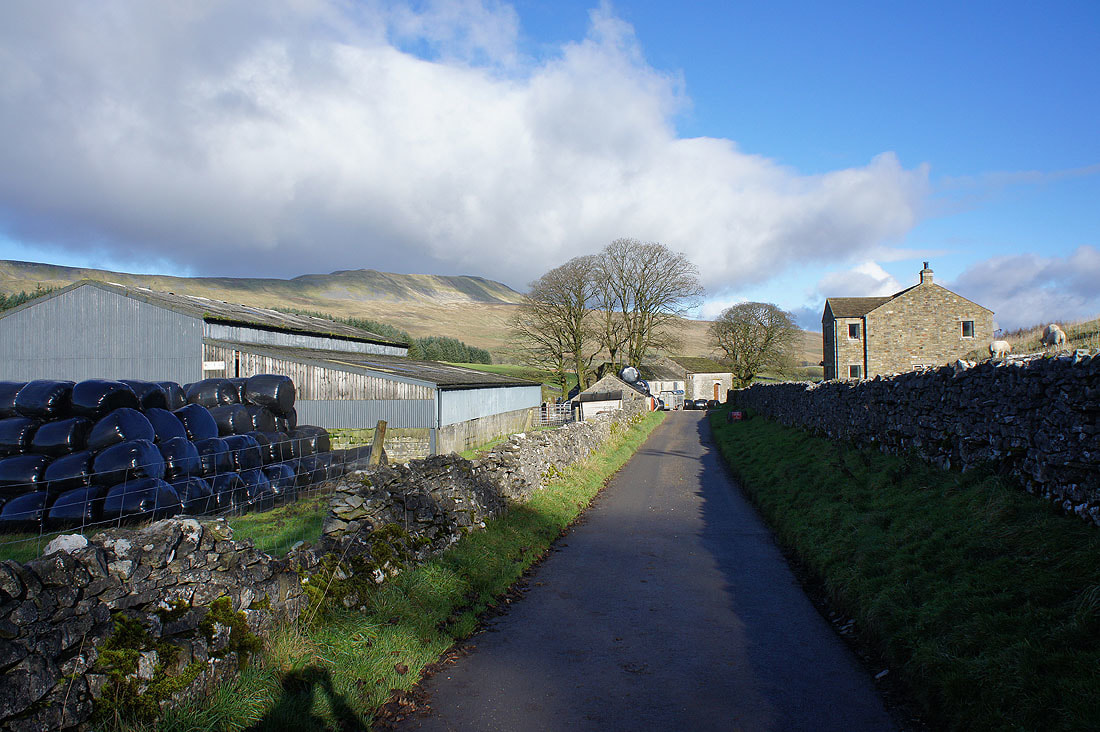
From the parking area at Ribblehead I set off by taking the path beneath the Ribblehead Viaduct to Gunnerfleet Farm. I then turned left and took its access road (a byway) to the public road, where I turned left again and briefly followed it south before taking a bridleway on the right that crosses Winterscales Beck to reach Philpin Lane. I then walked south along Philpin Lane to Low Sleights Lane where I turned left and walked past The Old Hill Inn to pick up the Three Peaks path across Southerscales Scars to Humphrey Bottom. A climb of the steep path from here brought me to the summit of Ingleborough. After lunch at the cross shelter I retraced my steps and left the summit at its eastern end and followed a path to the top of Simon Fell. I then did a there and back to a cairn at the eastern end of the fell for the view across Ribblesdale from it before heading for Park Fell. I was initially on the eastern side of the wall to it but swapped over to get a better view across Chapel-le-Dale to Whernside. A gate at the northern end of the fell let me access the trig point. A steep descent down the northern end of the fell brought me to Colt Park, where its access road was followed out to Gauber Road. I was then left with a walk along this road back to Ribblehead.
Total ascent: 1987 ft
OS map used: OL2 - Yorkshire Dales, Southern & Western areas
Time taken: 6 hrs
Route description: Ribblehead-Gunnerfleet Farm-Philpin Lane-Low Sleights Road-Southerscales Scars-Humphrey Bottom-Ingleborough-Simon Fell-Park Fell-Colt Park-Gauber Road-Ribblehead
I'm struggling with trying to think of places to go at the moment, so today I ended up resorting to an old favourite, Ingleborough, despite my last visit only being in July. At least I did a new route. All my previous ascents of Ingleborough have been by approaching from the south. Most from Clapham, a couple of times from Ingleton and once from Austwick. I really enjoyed this route and without knowing what the path up from Humphrey Bottom was like beforehand I was pleasantly surprised to find that it was pitched all the way up. It also gave me the chance to have an explore of the top of Simon Fell as well as visiting the trig point on Park Fell. The colder autumn weather is definitely starting to make itself felt now. The strong and cold northerly wind on the summit meant that I had all my layers on, but it also resulted in great visibility and light for photography.
From the parking area at Ribblehead I set off by taking the path beneath the Ribblehead Viaduct to Gunnerfleet Farm. I then turned left and took its access road (a byway) to the public road, where I turned left again and briefly followed it south before taking a bridleway on the right that crosses Winterscales Beck to reach Philpin Lane. I then walked south along Philpin Lane to Low Sleights Lane where I turned left and walked past The Old Hill Inn to pick up the Three Peaks path across Southerscales Scars to Humphrey Bottom. A climb of the steep path from here brought me to the summit of Ingleborough. After lunch at the cross shelter I retraced my steps and left the summit at its eastern end and followed a path to the top of Simon Fell. I then did a there and back to a cairn at the eastern end of the fell for the view across Ribblesdale from it before heading for Park Fell. I was initially on the eastern side of the wall to it but swapped over to get a better view across Chapel-le-Dale to Whernside. A gate at the northern end of the fell let me access the trig point. A steep descent down the northern end of the fell brought me to Colt Park, where its access road was followed out to Gauber Road. I was then left with a walk along this road back to Ribblehead.
Route map
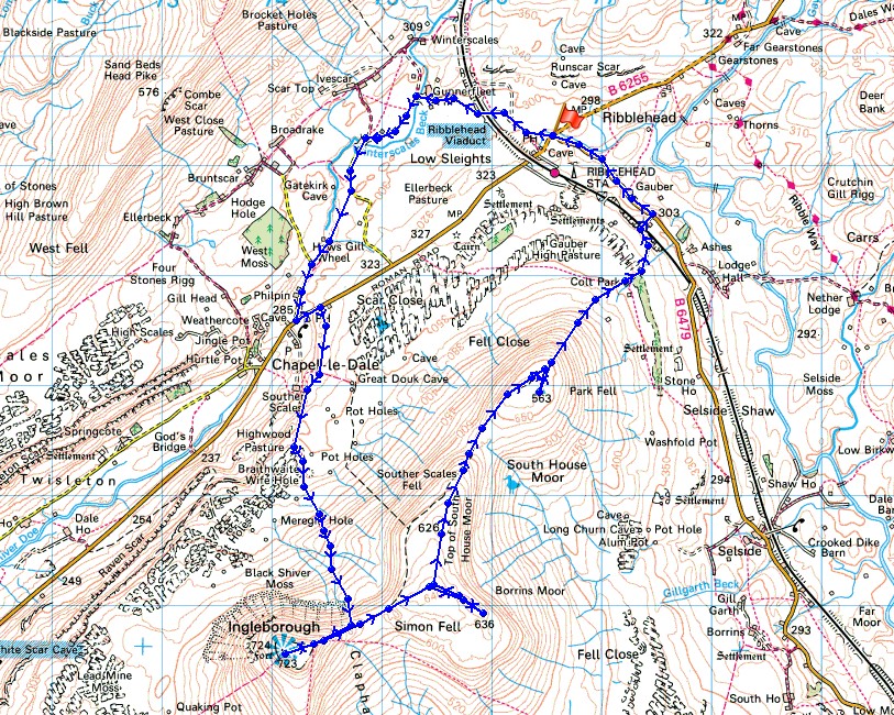
© Crown copyright. All rights reserved. License number PU 100034184.
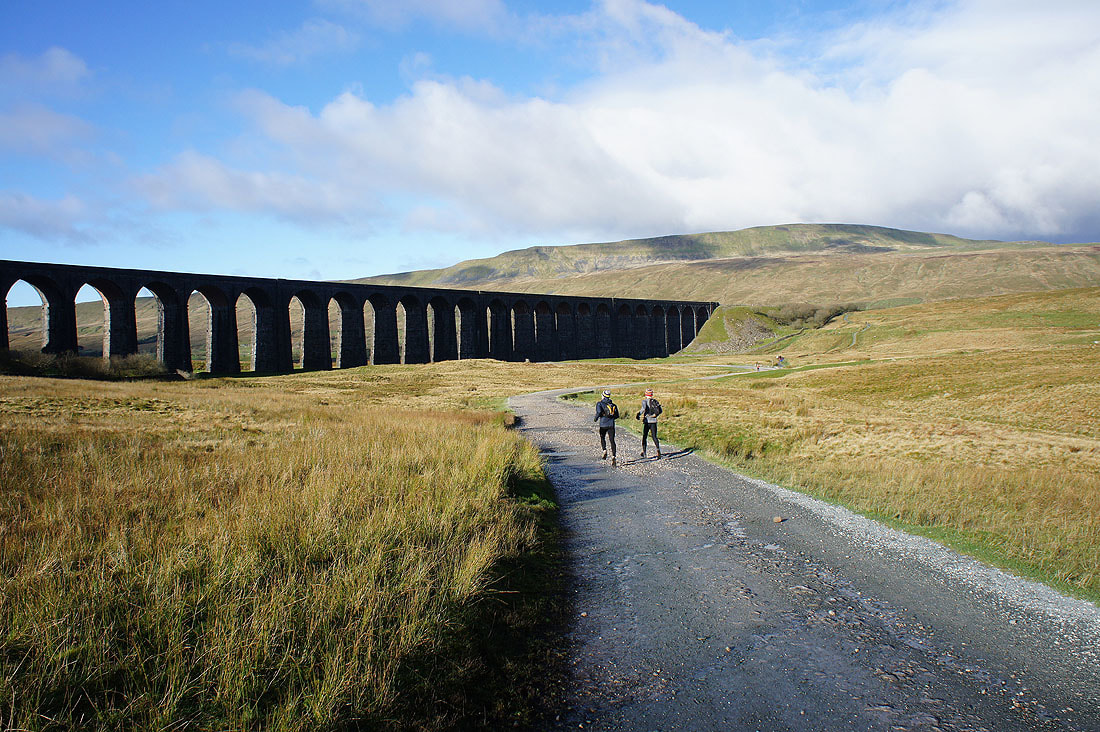
Heading for the Ribblehead Viaduct as I set off
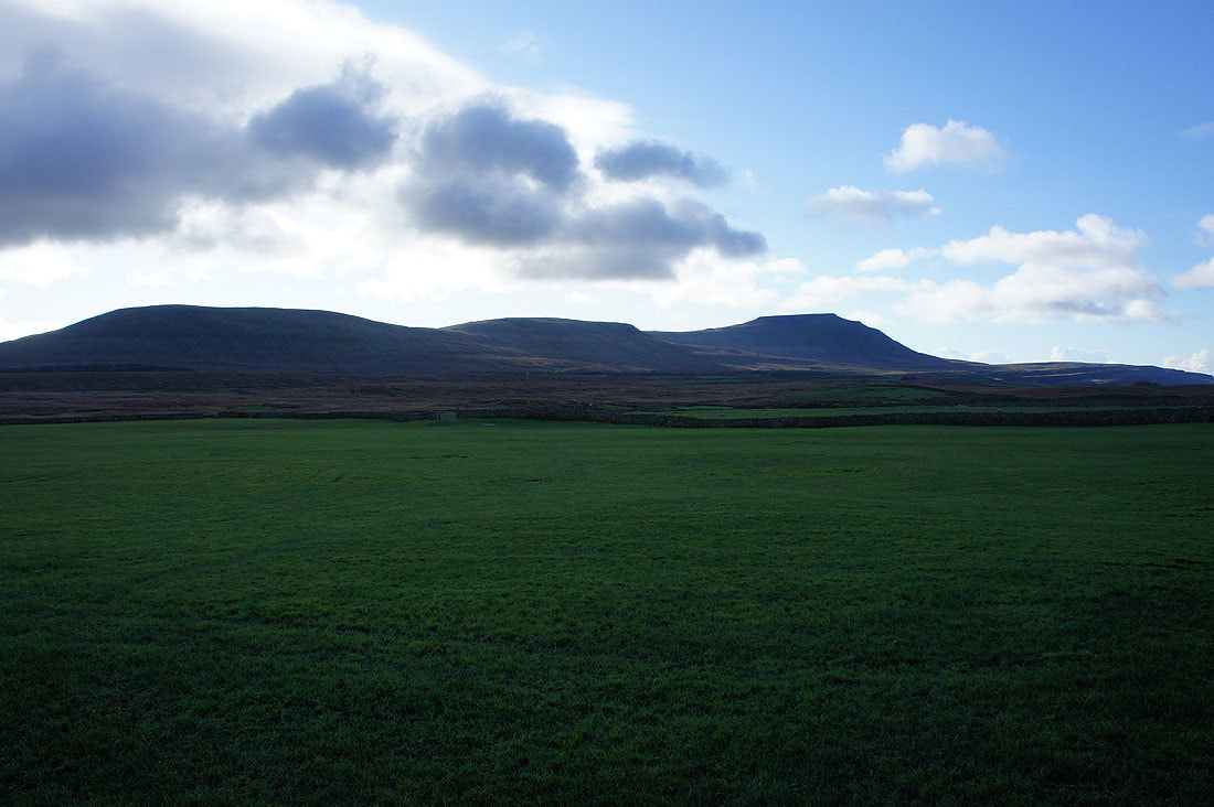
Park Fell, Simon Fell and Ingleborough
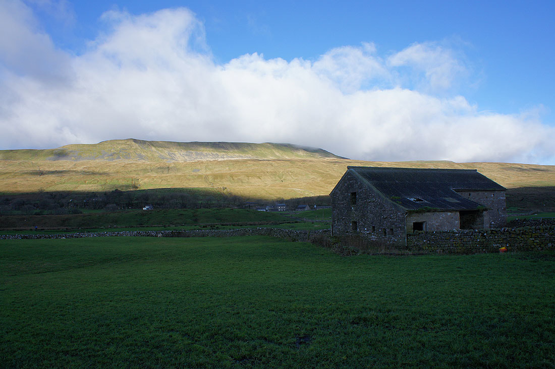
Whernside
and again from Philpin Farm
Looking down Chapel-le-Dale
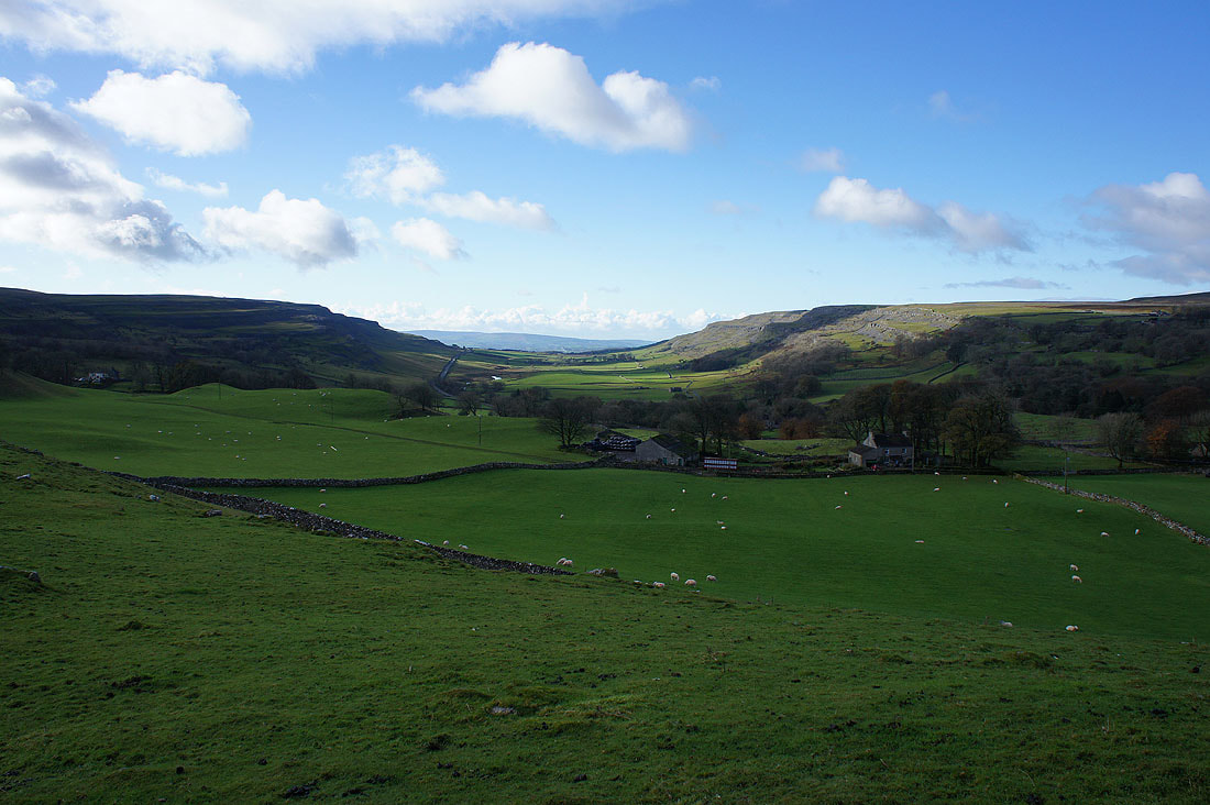
and across to Twisleton Scars from the path to Southerscales Scars
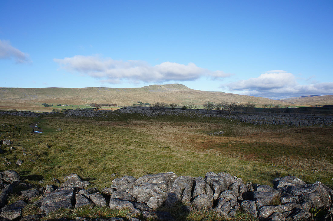
Whernside from Southerscales Scars
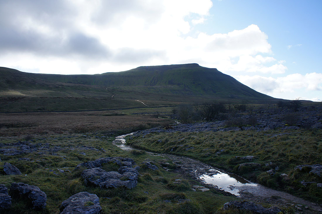
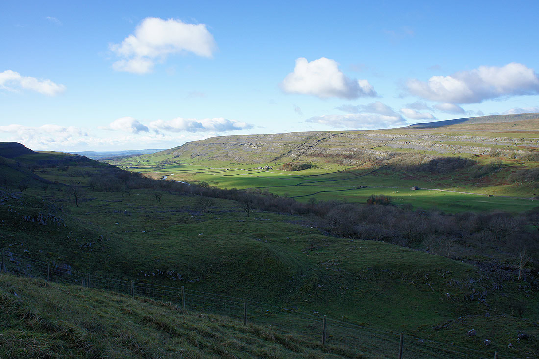
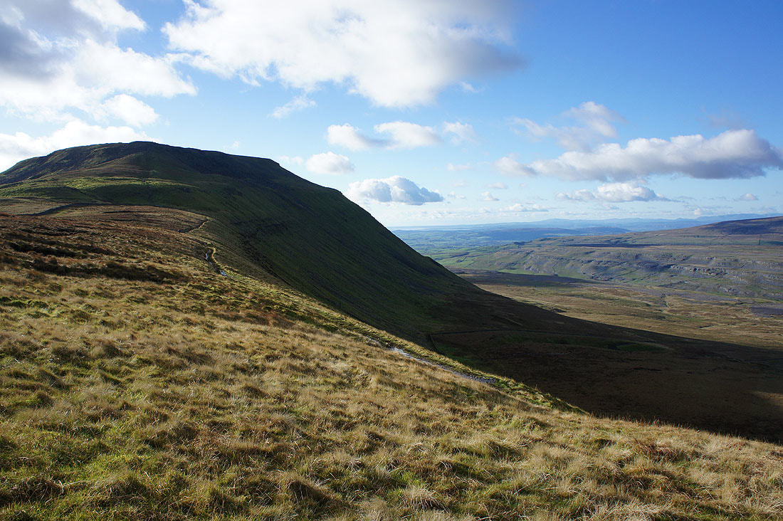
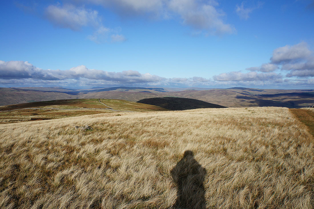
and Ingleborough with the path up to Humphrey Bottom clearly visible
Southerscales Scars and Whernside from the path to Humphrey Bottom
Having made it to the summit I went to the cross shelter to have lunch. That done, I'll now walk round the plateau and take in the view. Starting with looking northwest to a long line of Lake District fells beyond the southwest ridge of Whernside and Gragareth.
Gragareth, Great Coum, the Howgills and Whernside

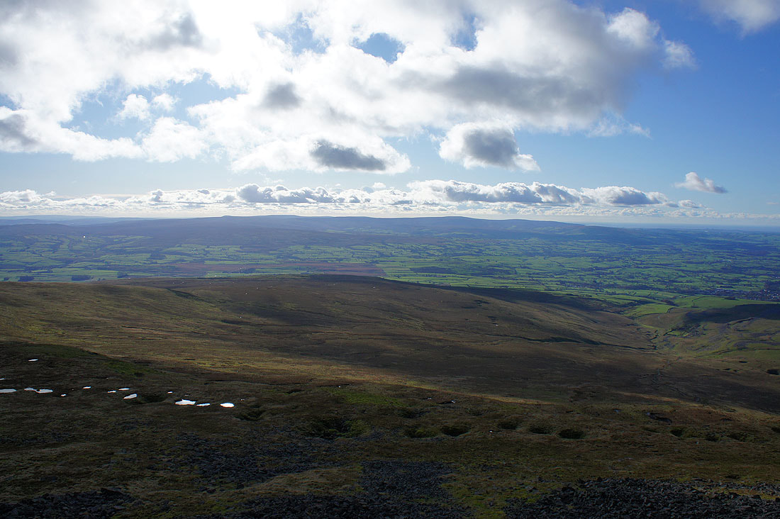
Whernside, Ribblehead, Blea Moor, Great Knoutberry Hill and Dodd Fell Hill to the north
I couldn't resist taking another shot of that view to the northwest before moving on
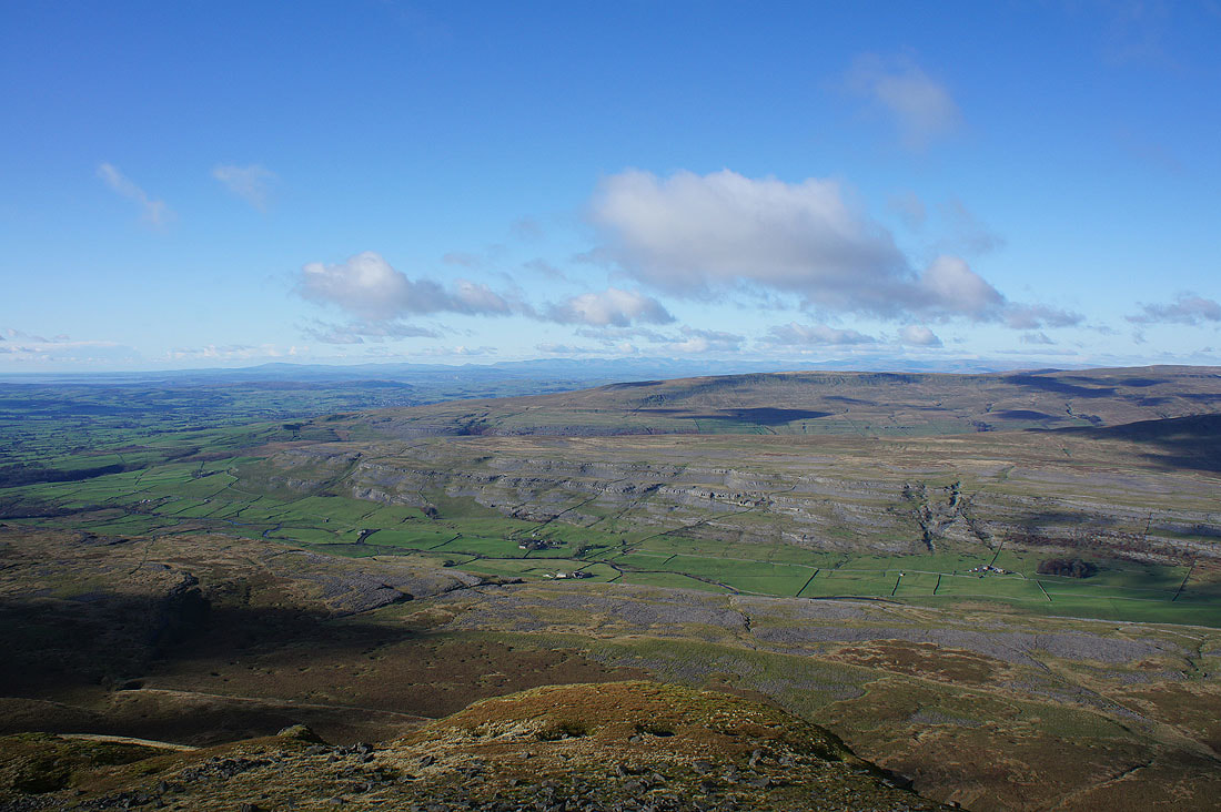
Ingleton, Lunesdale and Morecambe Bay to the west
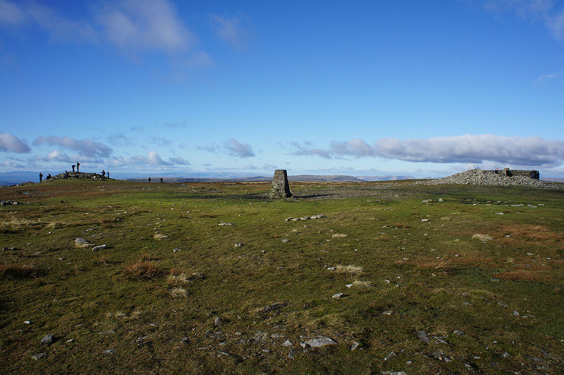
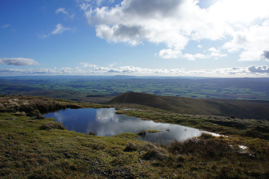
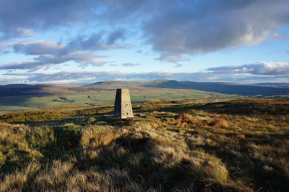
The summit of Ingleborough
The fells of the Forest of Bowland to the southwest
Looking south to Pendle Hill
Penyghent, Fountains Fell and the hills around Settle on the other side of Ribblesdale
Back at the northeast corner of the summit for another photo of the Howgills, Whernside, Ribblehead, Blea Moor and Great Knoutberry Hill
Time to head for Simon Fell
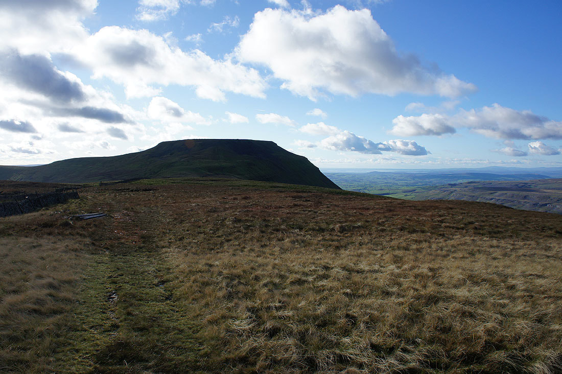
An interesting view of Ingleborough from the side of Simon Fell
Gragareth, Great Coum and Whernside from the top of Simon Fell
Penyghent
and Ingleborough
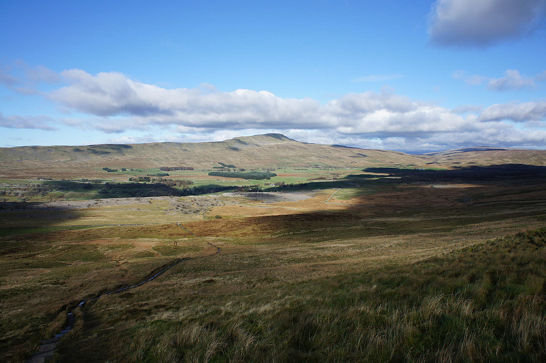
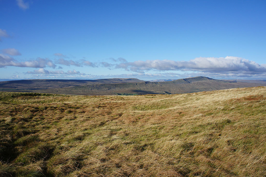
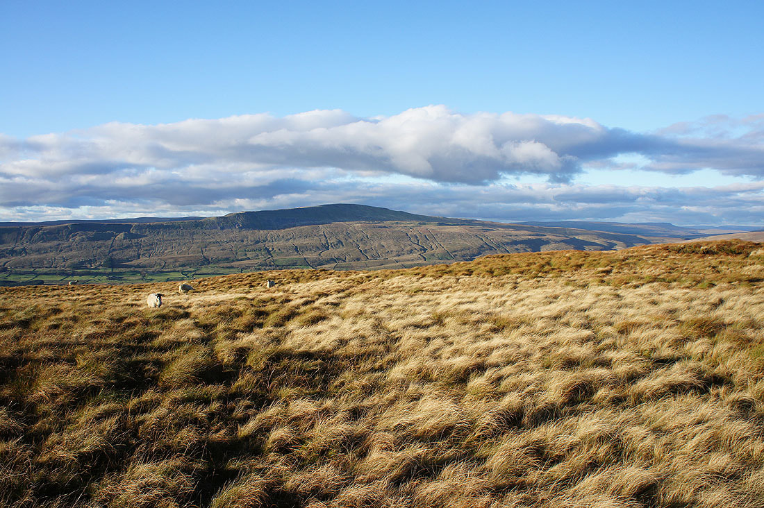
Blea Moor, Great Knoutberry Hill, Park Fell (in shadow) and Dodd Fell Hill
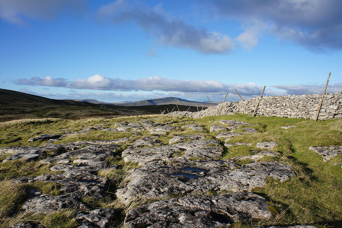
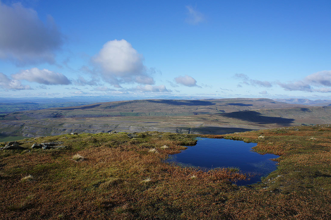
On my way to a cairn on the eastern edge of Simon Fell and I couldn't resist stopping to take a photo of Whernside from this patch of limestone pavement
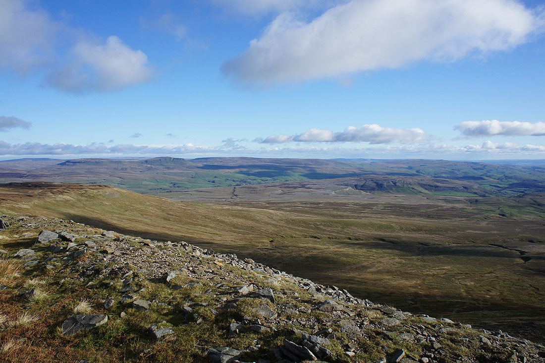
A few photos of the view from that cairn. Whernside, Blea Moor and Great Knoutberry Hill with Park Fell in the foreground.
Ribblesdale and Penyghent
Looking south to Pendle Hill
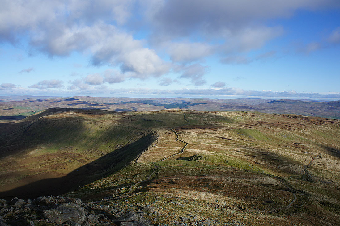
Whernside and Ribblehead from Black Rock at the northern end of Simon Fell as I head for Park Fell
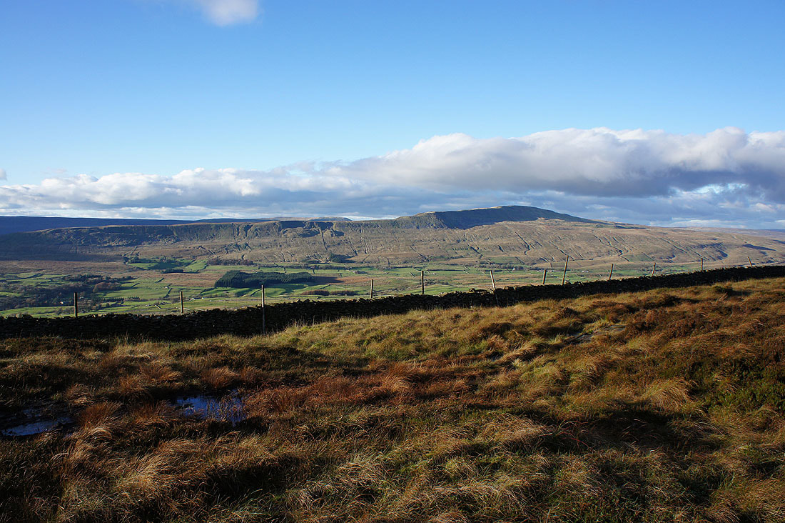
Whernside and its long southwest ridge
I got a better view by crossing to the other side of that wall
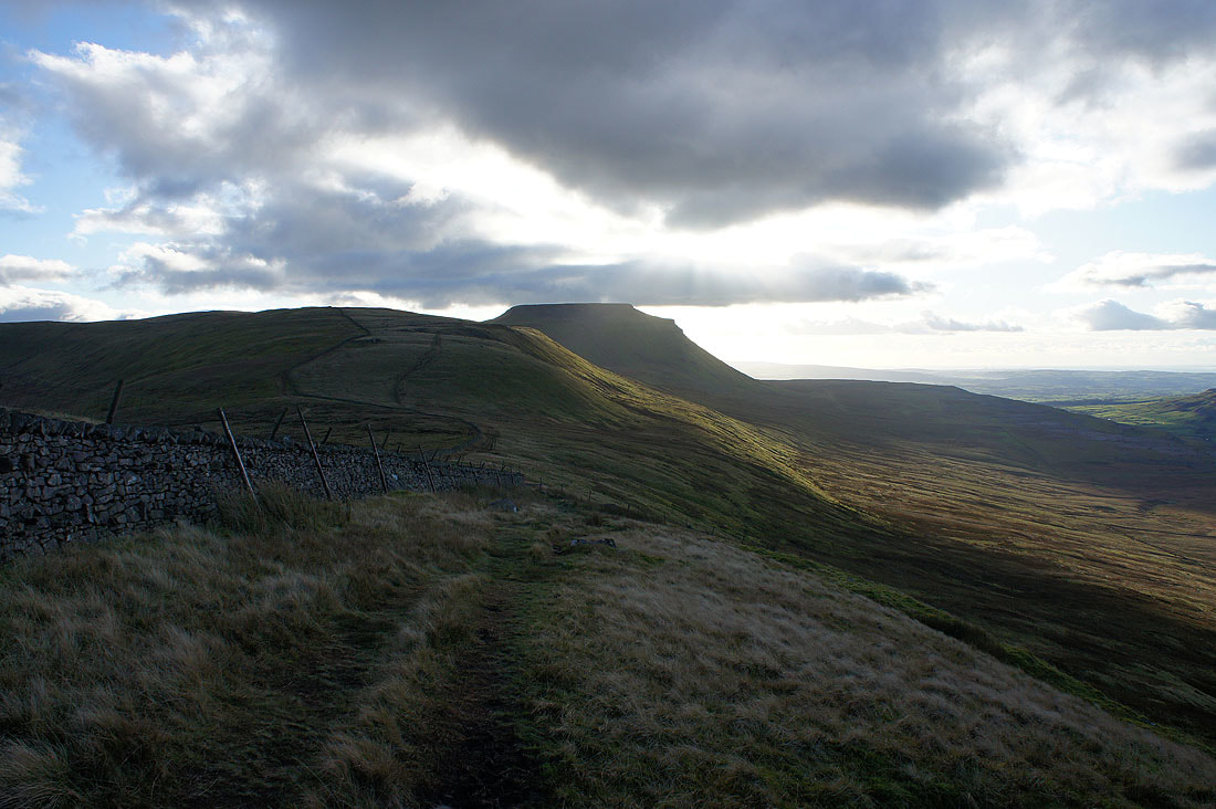
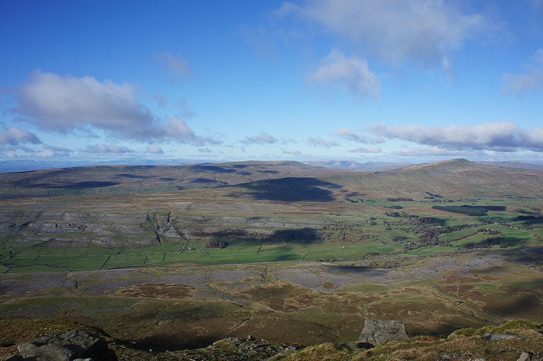
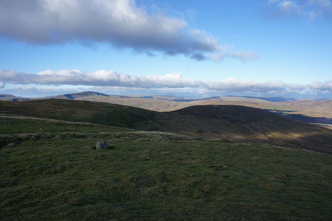
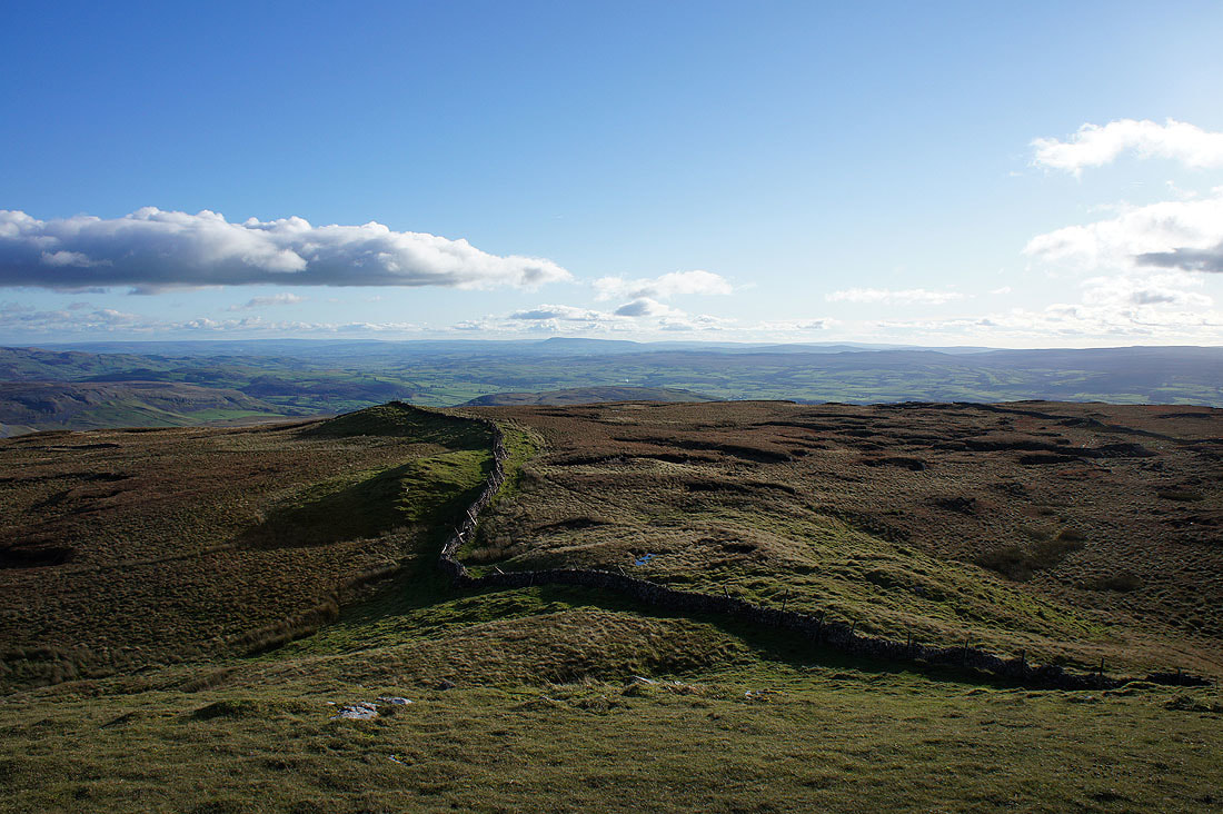
Looking back to Simon Fell and Ingleborough
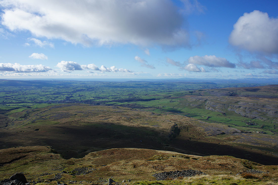
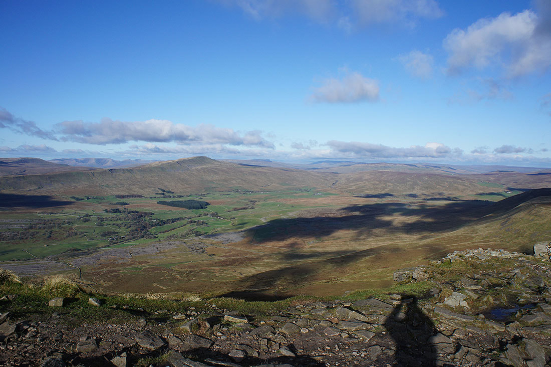
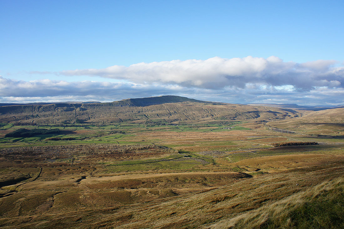
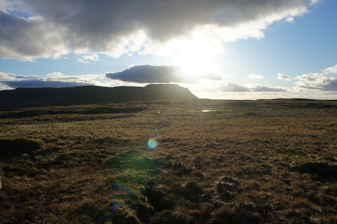
Looking down Chapel-le-Dale and a great light is developing as the sun gets lower in the sky
Whernside from Park Fell
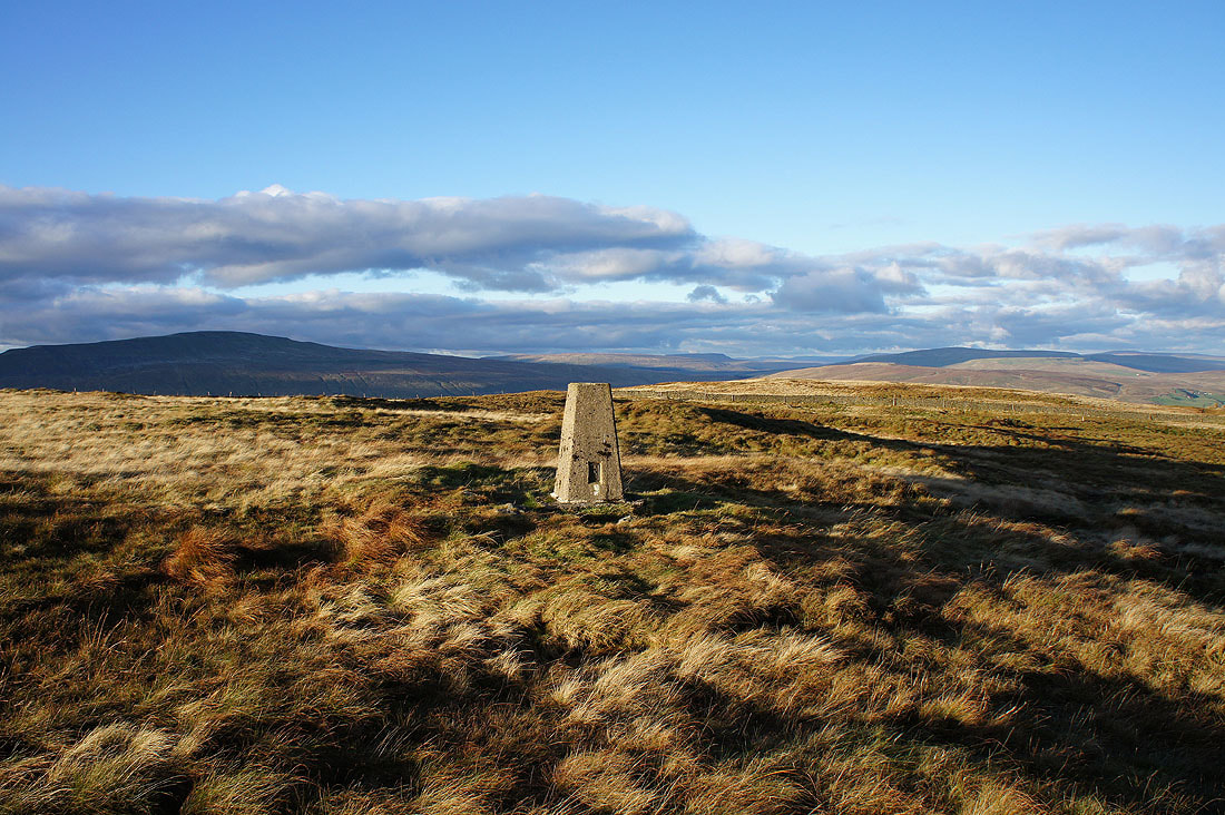
Whernside, Baugh Fell, Wild Boar Fell, Blea Moor and Great Knoutberry Hill from the trig point on Park Fell
Looking across Ribblesdale to Penyghent
Simon Fell and Ingleborough
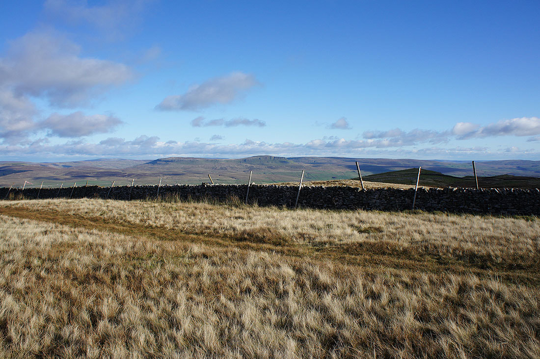
The hills around Settle with Pendle Hill in the distance on the right
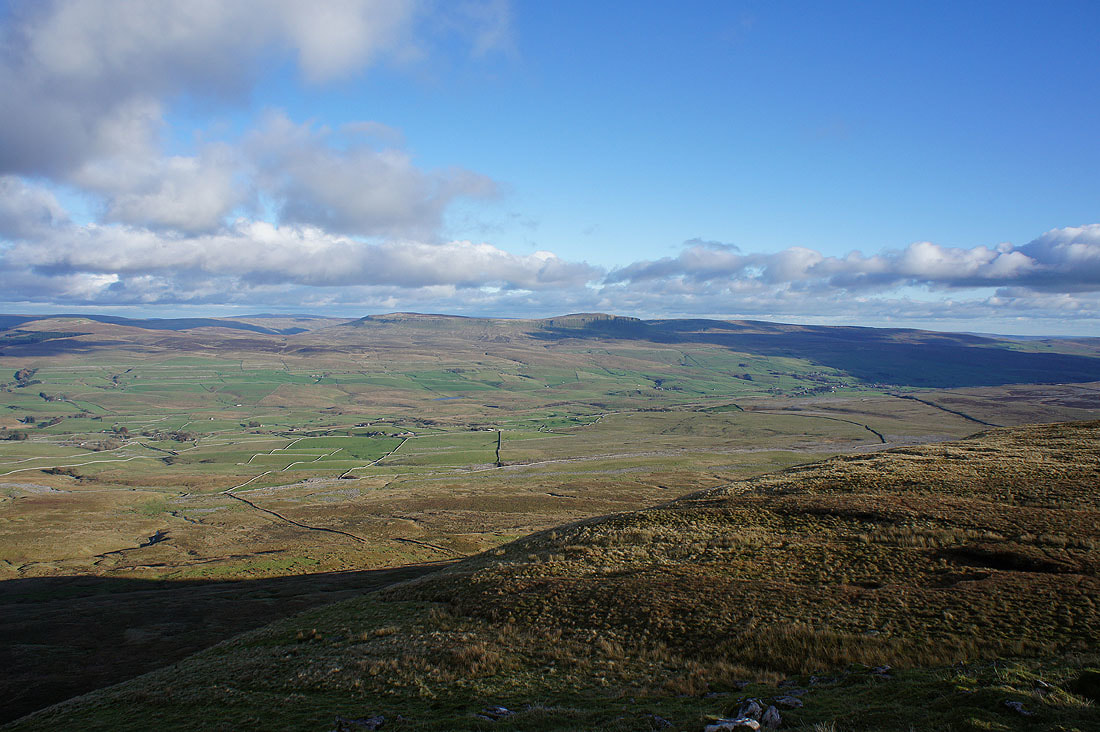
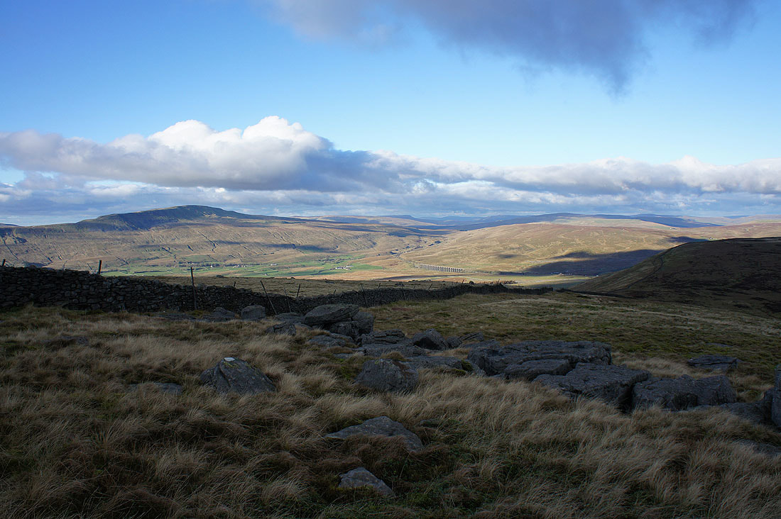
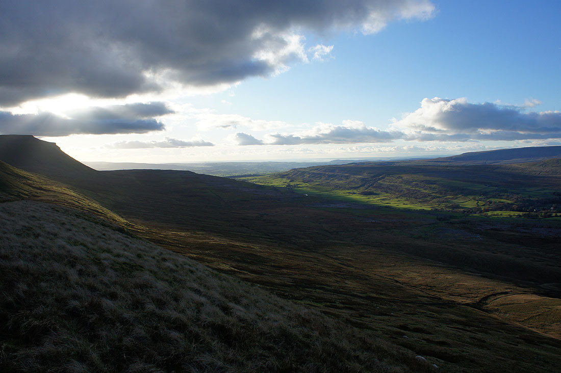
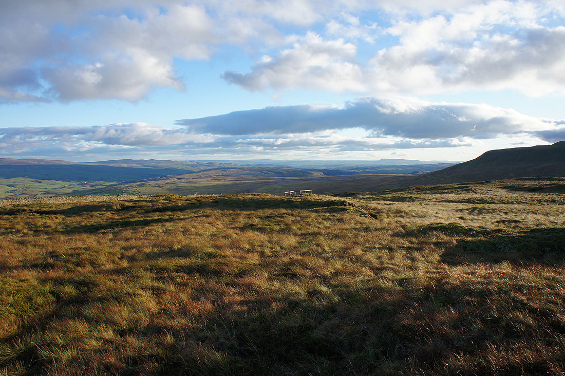
Long shadows at Ribblehead as I make my descent down the northern end of Park Fell
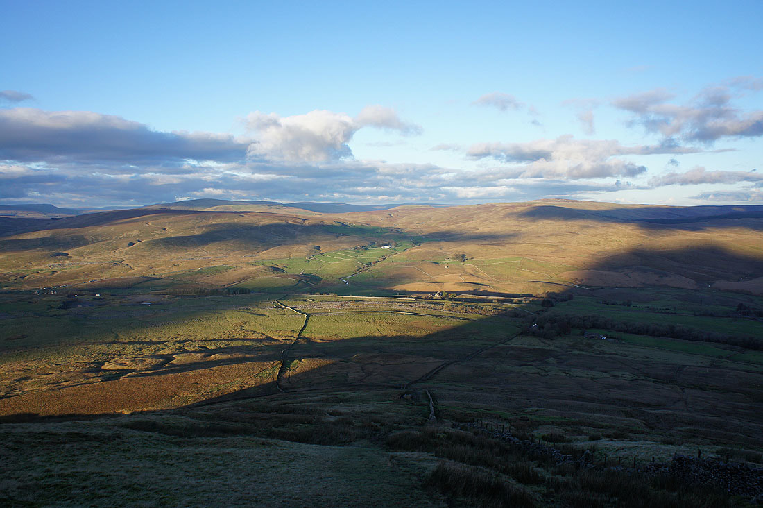
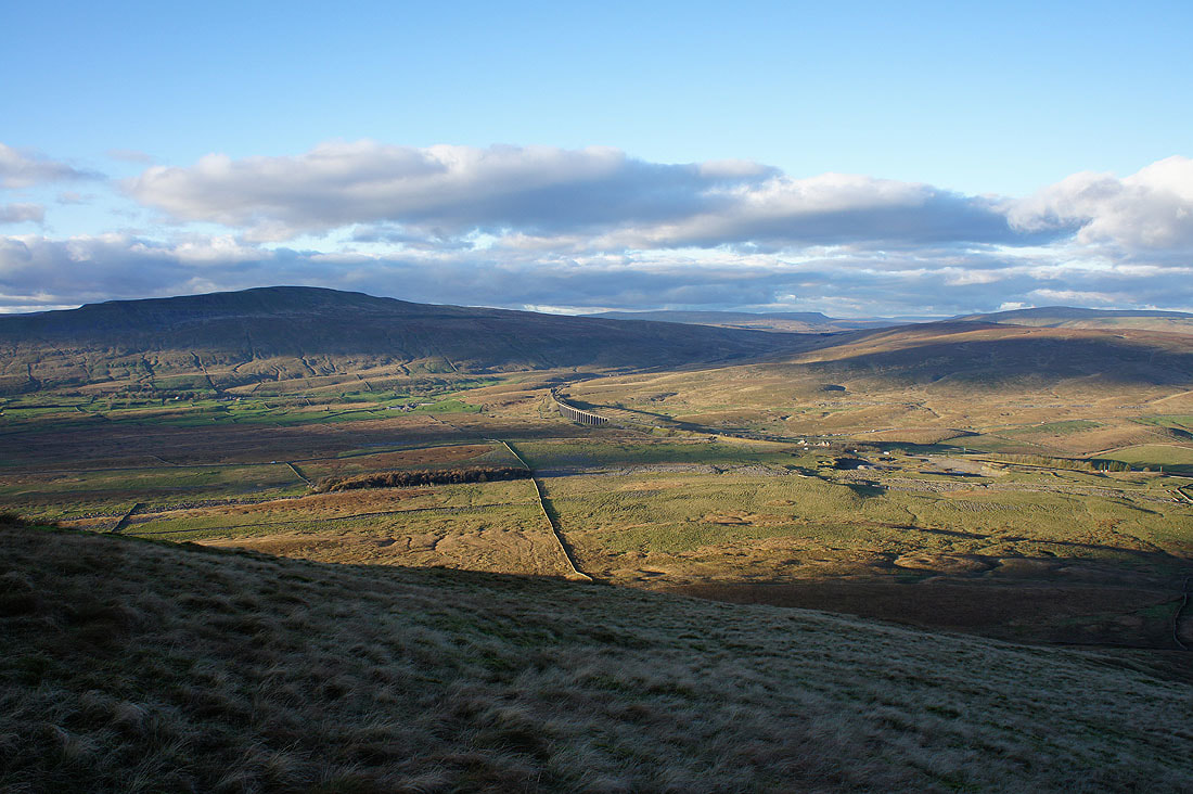
The valley opposite is that of Gayle Beck which leads up to the source of the Ribble. It also carries the road from Ribblehead to Hawes.
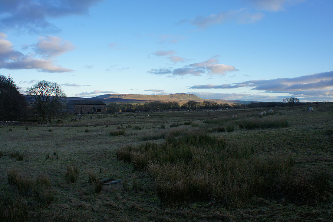
Penyghent from Colt Park
|
|
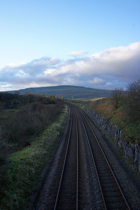
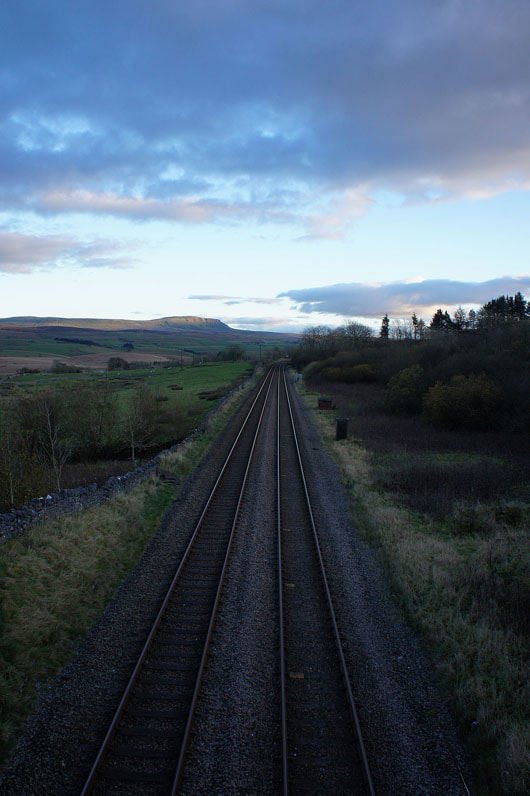
Crossing the Settle to Carlisle line before walking down the road back to Ribblehead