5th November 2023 - Buckden Pike
Walk Details
Distance walked: 6.9 miles
Total ascent: 1812 ft
OS map used: OL30 - Yorkshire Dales, Northern & Central areas
Time taken: 6 hrs
Route description: Buckden-Buckden Gill-Buckden Lead Mine-Buckden Pike-Buckden Rake-Cow Close Gill-Park Lane-Cray-Cray Gill-Hubberholme-Dales Way-Buckden
For my walk this weekend I decided to head to Buckden in Wharfedale to do a route that would take me up Buckden Gill to the summit of Buckden Pike, as well as visit Cow Close Gill and Cray Gill to see some waterfalls. The only previous time that I'd used Buckden Gill as a way up Buckden Pike was in February 2019, and on that occasion there wasn't a lot of water flowing down the beck. There was more this time, but it wasn't exactly in spate, and although the waterfalls are good it wasn't worth the effort of bringing a tripod with me for the long exposure shots. Waterfalls in woodland settings are much more photogenic, like those on Cray Gill, but they're not exactly easy to access. It was a lovely autumn day for being out on the fells, cold and crisp, sunny spells and fair weather clouds, and great visibility for taking in the views.
I left the NP car park in Buckden through the gate for the bridleway to Buckden Rake but turned right straight away and made my way across the hillside to Buckden Beck. I then followed a path up Buckden Gill to the disused lead mine at its top and from there a clear path took me up the hillside to the summit ridge just south of the trig point. A short walk after climbing over a ladder stile and I was there. After taking a break for lunch I left the summit by taking the path northwest then west down the fell to the bridleway of Buckden Rake which I followed north, visiting the lower waterfall on Cow Close Gill before reaching Park Lane at Cray High Bridge. After walking down the road to the White Lion Inn I took the footpath along the track on the right behind the inn, before leaving it for a footpath on the left down the hillside and beside Cray Gill to reach the road to Hubberholme at Stubbing Bridge. I then walked along the road to Hubberholme, crossed the bridge over the River Wharfe, and joined the trail of the Dales Way, which I followed to reach Buckden Bridge over the River Wharfe below Buckden. I left the trail here for a short walk back up to Buckden.
Total ascent: 1812 ft
OS map used: OL30 - Yorkshire Dales, Northern & Central areas
Time taken: 6 hrs
Route description: Buckden-Buckden Gill-Buckden Lead Mine-Buckden Pike-Buckden Rake-Cow Close Gill-Park Lane-Cray-Cray Gill-Hubberholme-Dales Way-Buckden
For my walk this weekend I decided to head to Buckden in Wharfedale to do a route that would take me up Buckden Gill to the summit of Buckden Pike, as well as visit Cow Close Gill and Cray Gill to see some waterfalls. The only previous time that I'd used Buckden Gill as a way up Buckden Pike was in February 2019, and on that occasion there wasn't a lot of water flowing down the beck. There was more this time, but it wasn't exactly in spate, and although the waterfalls are good it wasn't worth the effort of bringing a tripod with me for the long exposure shots. Waterfalls in woodland settings are much more photogenic, like those on Cray Gill, but they're not exactly easy to access. It was a lovely autumn day for being out on the fells, cold and crisp, sunny spells and fair weather clouds, and great visibility for taking in the views.
I left the NP car park in Buckden through the gate for the bridleway to Buckden Rake but turned right straight away and made my way across the hillside to Buckden Beck. I then followed a path up Buckden Gill to the disused lead mine at its top and from there a clear path took me up the hillside to the summit ridge just south of the trig point. A short walk after climbing over a ladder stile and I was there. After taking a break for lunch I left the summit by taking the path northwest then west down the fell to the bridleway of Buckden Rake which I followed north, visiting the lower waterfall on Cow Close Gill before reaching Park Lane at Cray High Bridge. After walking down the road to the White Lion Inn I took the footpath along the track on the right behind the inn, before leaving it for a footpath on the left down the hillside and beside Cray Gill to reach the road to Hubberholme at Stubbing Bridge. I then walked along the road to Hubberholme, crossed the bridge over the River Wharfe, and joined the trail of the Dales Way, which I followed to reach Buckden Bridge over the River Wharfe below Buckden. I left the trail here for a short walk back up to Buckden.
Route map
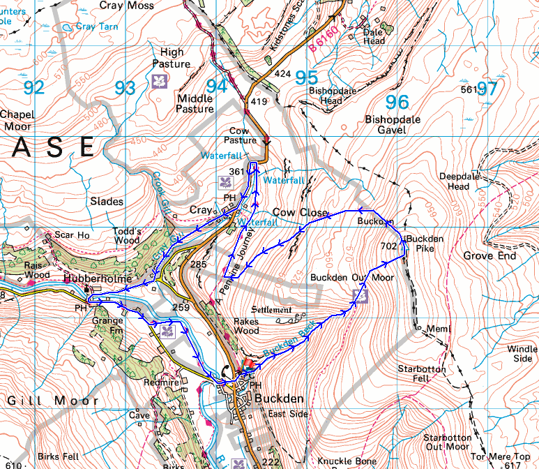
© Crown copyright. All rights reserved. License number PU 100034184.
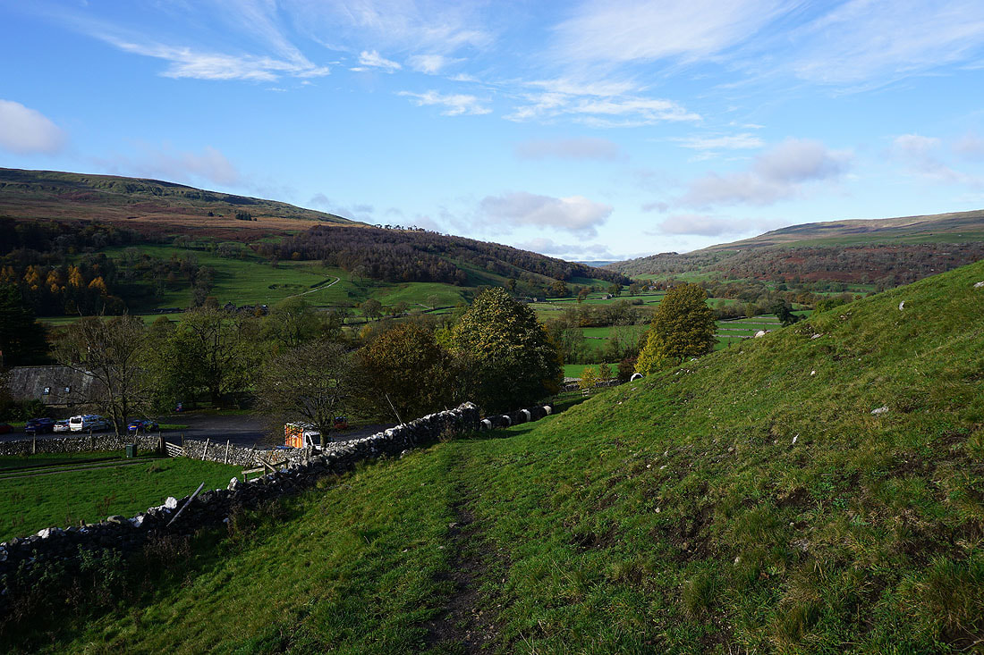
Leaving Buckden and Wharfedale behind as I head for Buckden Gill
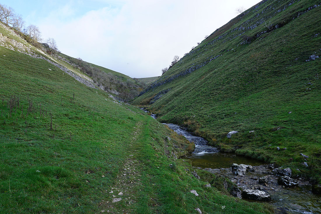
At the entrance to Buckden Gill
I'll have to go up and around to get to the first waterfall, which is just above
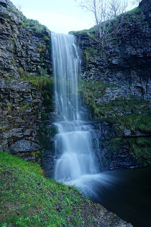
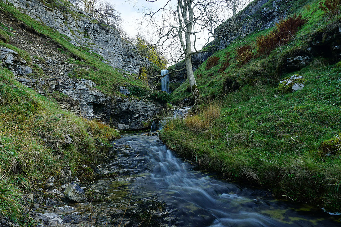
The first significant waterfall encountered
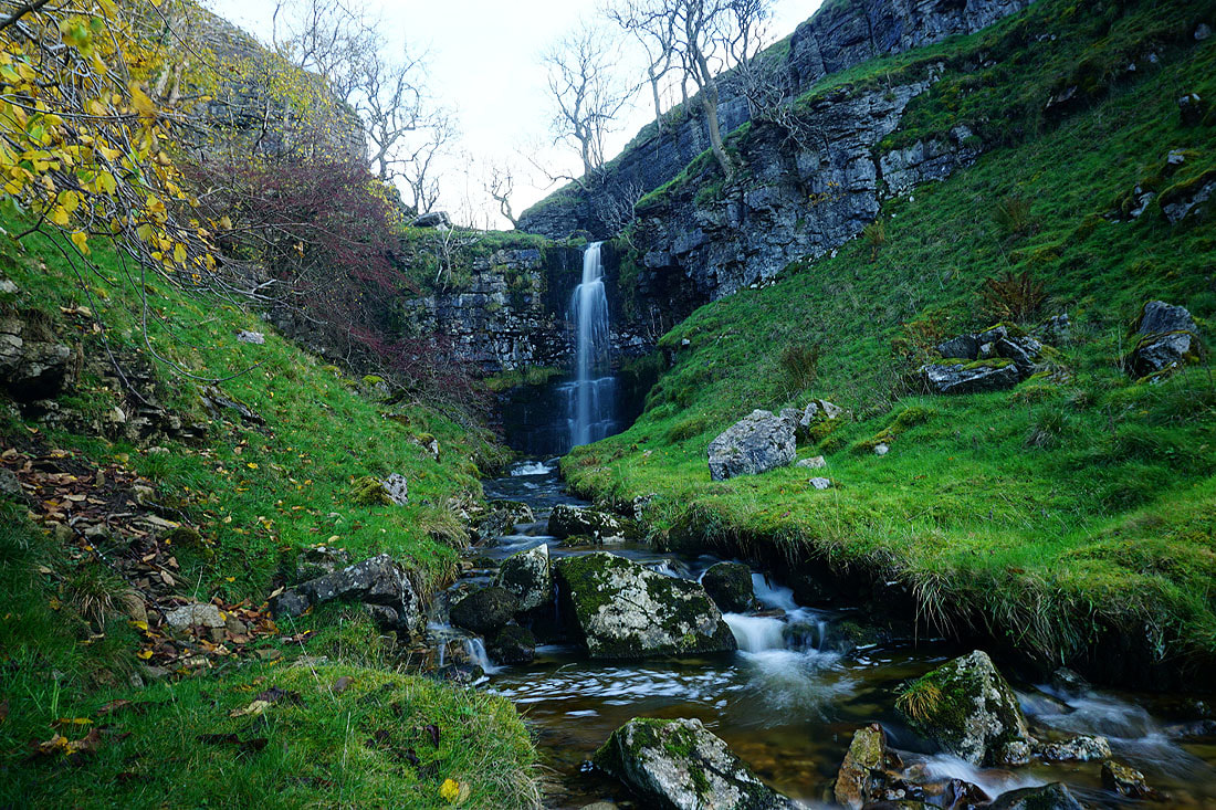
The second of the larger waterfalls
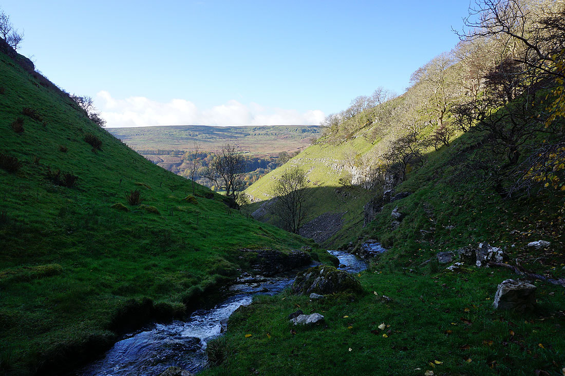
Looking back down the gill to Birks Fell on the other side of Wharfedale
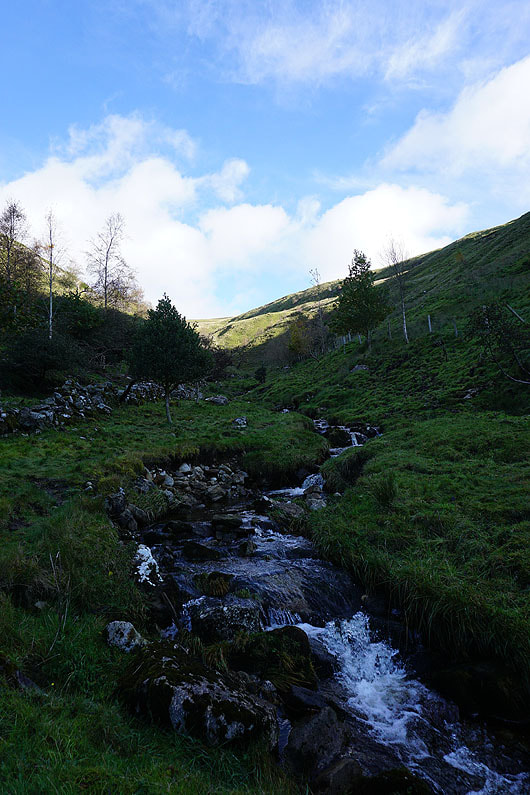
Following Buckden Beck upstream
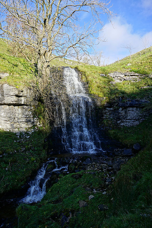
|
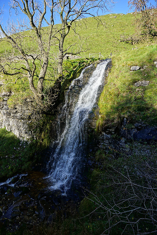
|
Another waterfall passed..

Another look back down the gill, from beside the waterfall
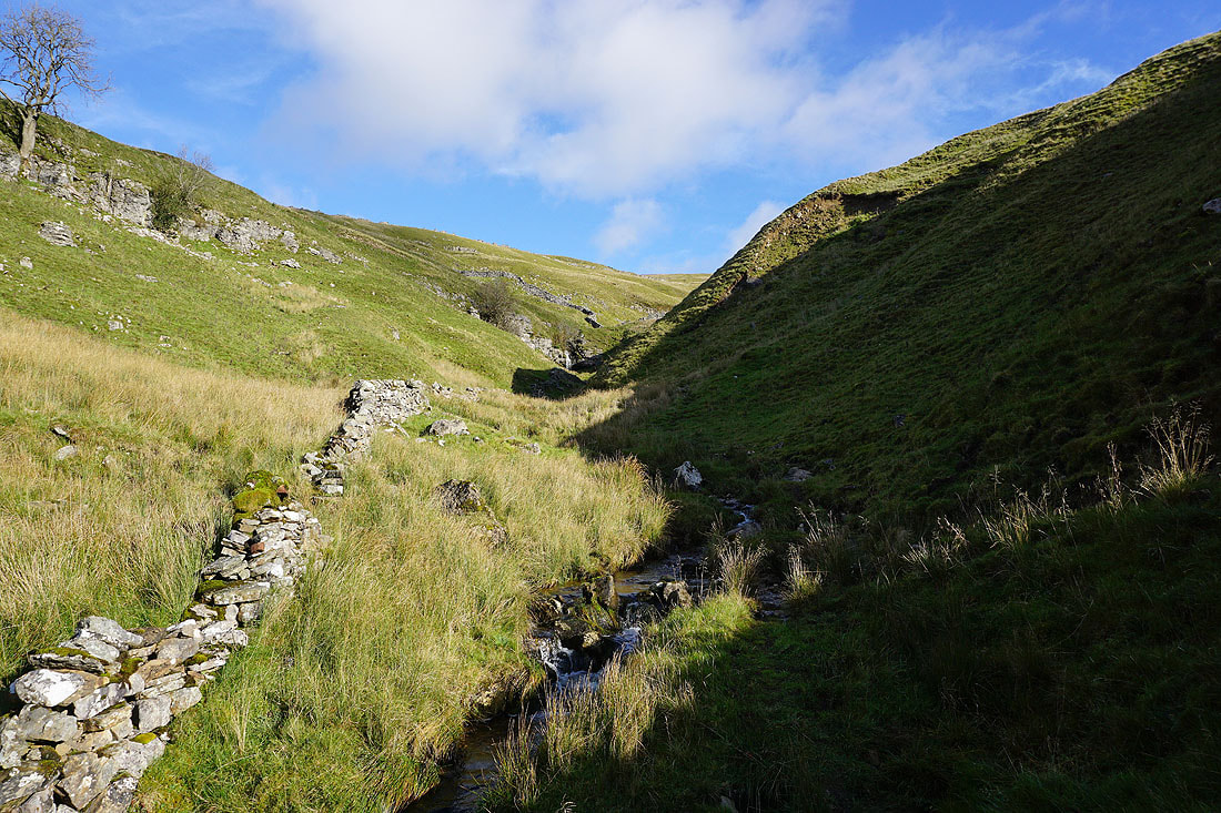
As I gain height the sides of the gill become less steep
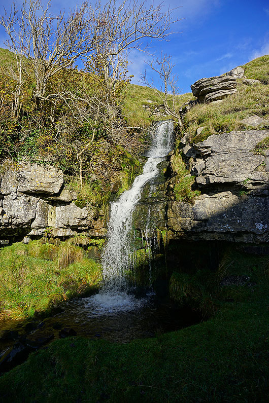
The final waterfall of any significance
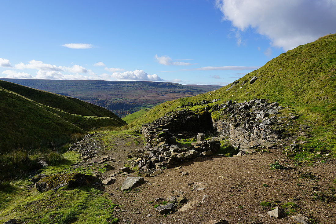
The ruined building and spoil heaps of Buckden Lead Mine..
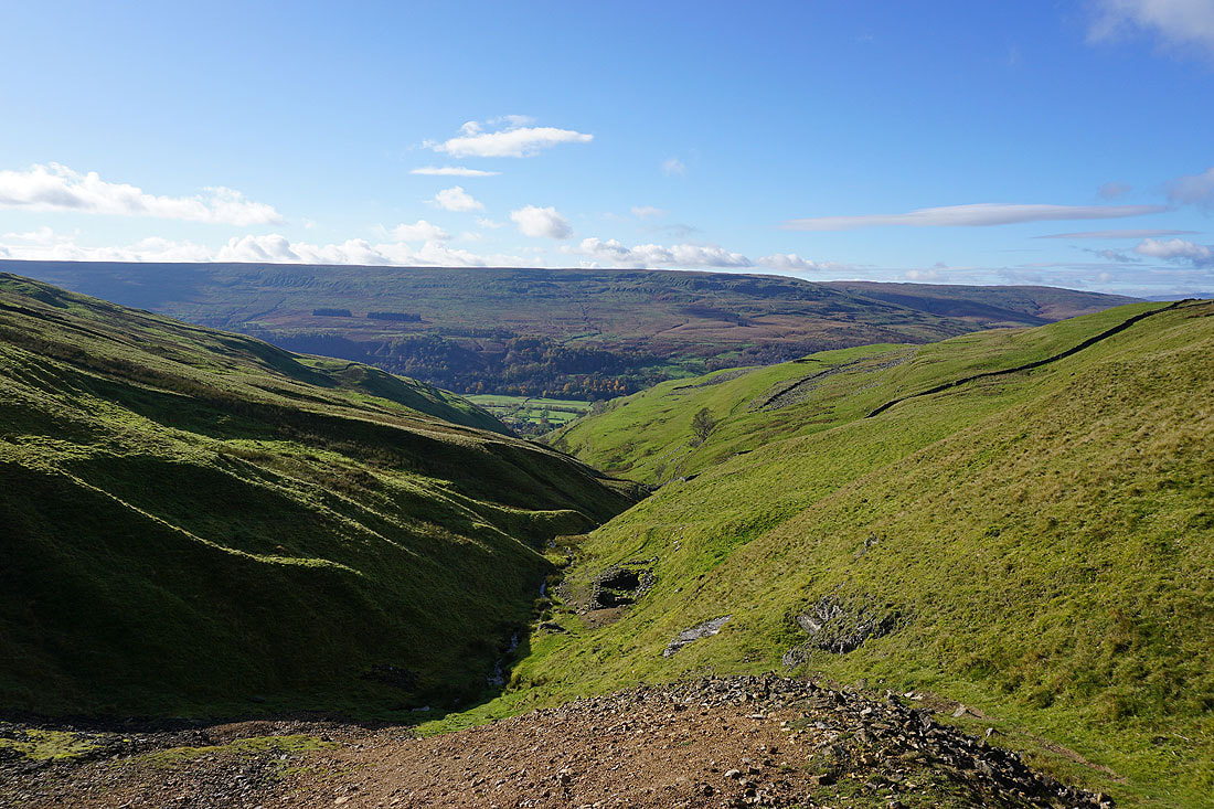
Looking down Buckden Gill and across Wharfedale to Birks Fell from Buckden Lead Mine
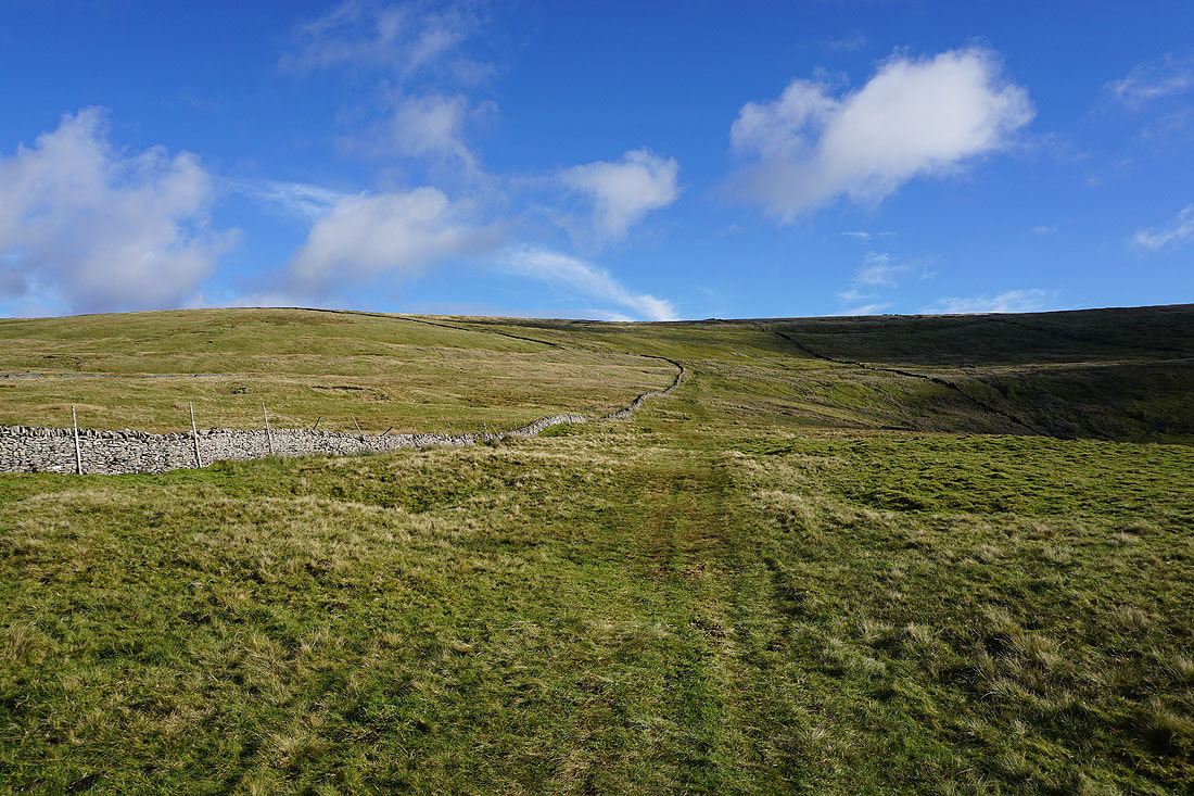
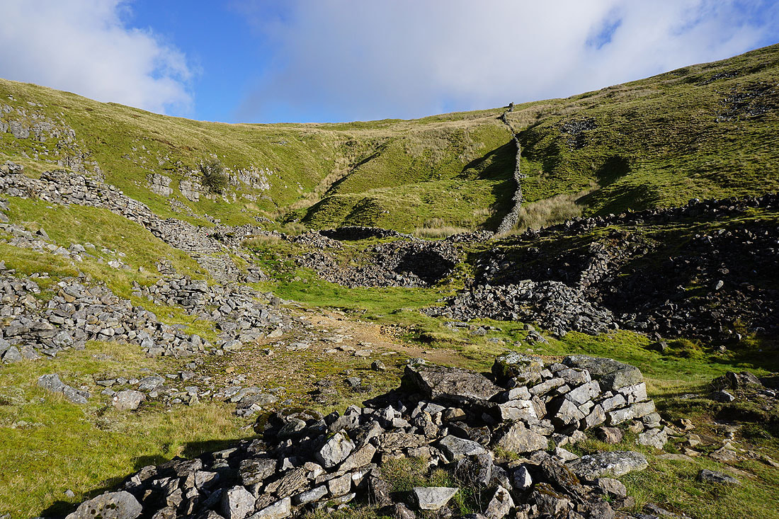
Above Buckden Lead Mine and I'm following a wall up Buckden Out Moor to the summit ridge
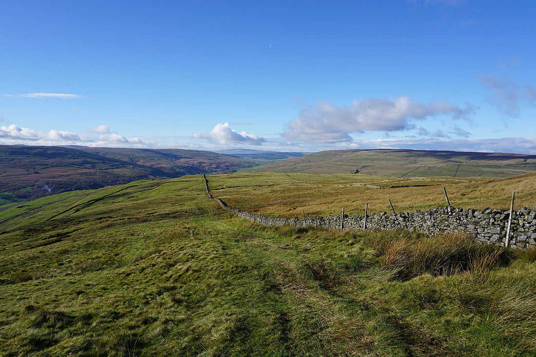
Looking back as I gain height to Whernside in the distance, and Yockenthwaite Moor on the right
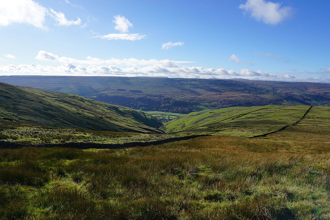
Buckden Gill below
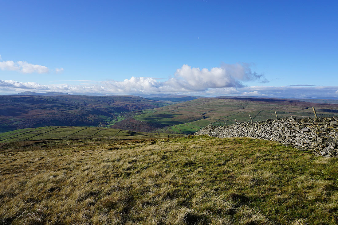
I finally reach the summit ridge. My reward is a great view to the west along Langstrothdale to Whernside in the distance.
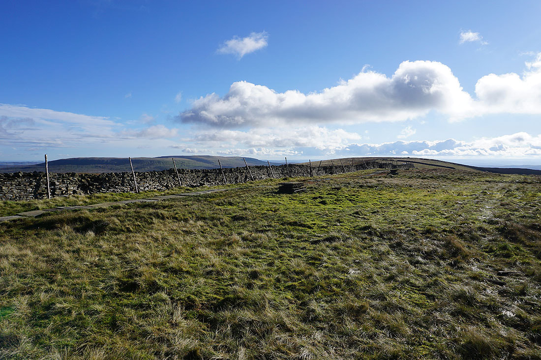
The summit ridge heads south
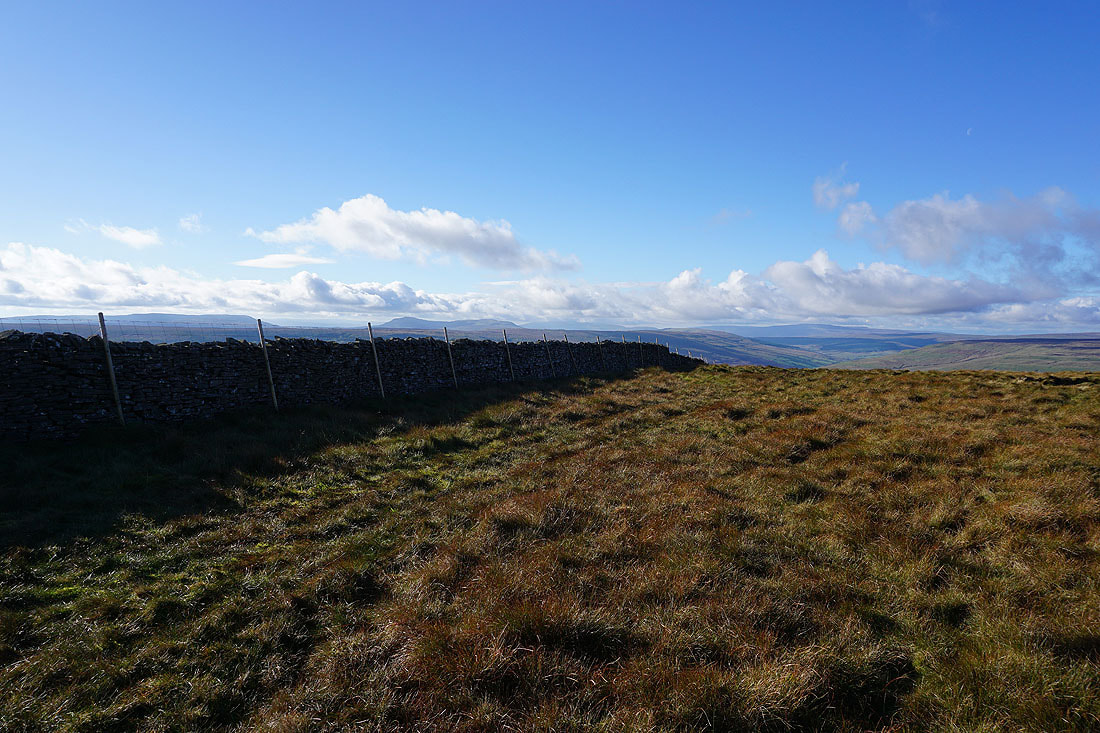
A wall provides a good foreground for the view west to Fountains Fell, Penyghent, Plover Hill, a cloud topped Ingleborough, and Whernside
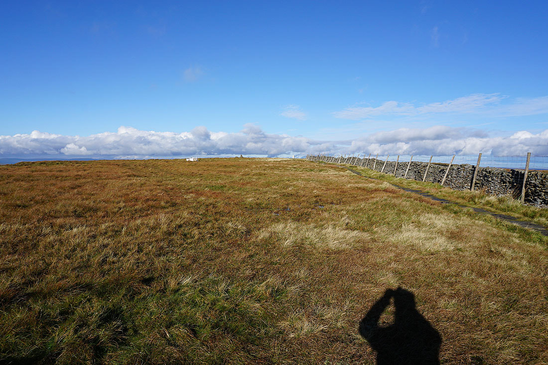
The trig point is in sight
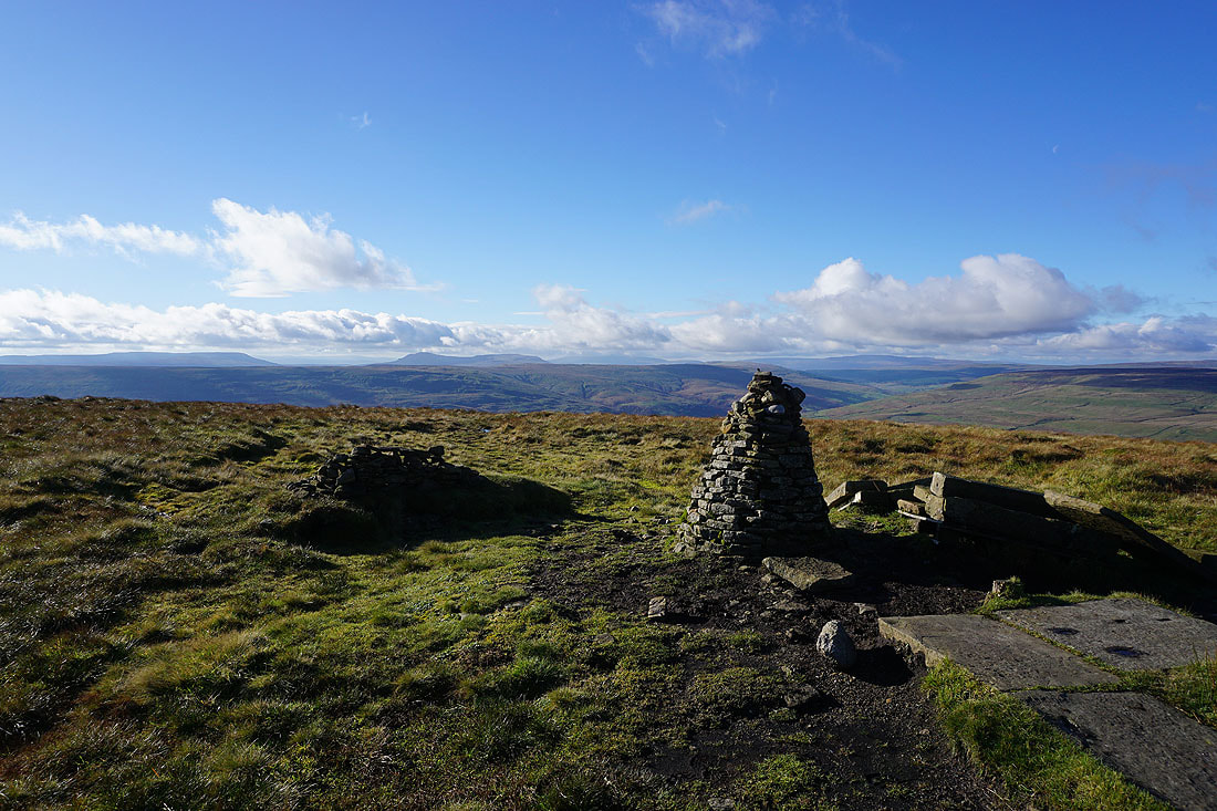
Before I cross the summit wall to get out of the wind and have my lunch, a couple of photos of the view from this side of it. To the west, Fountains Fell, Penyghent, Plover Hill, a cloud topped Ingleborough, Birks Fell, and Whernside.
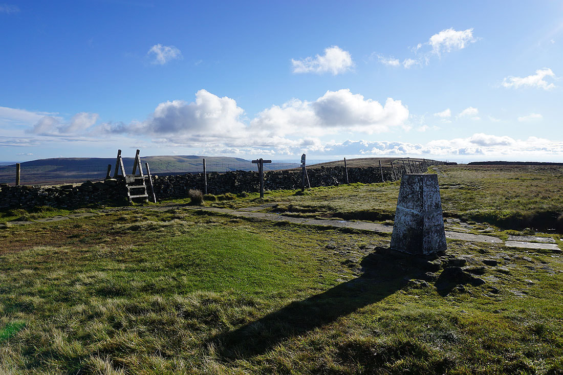
Great Whernside to the left, and the summit ridge to the right
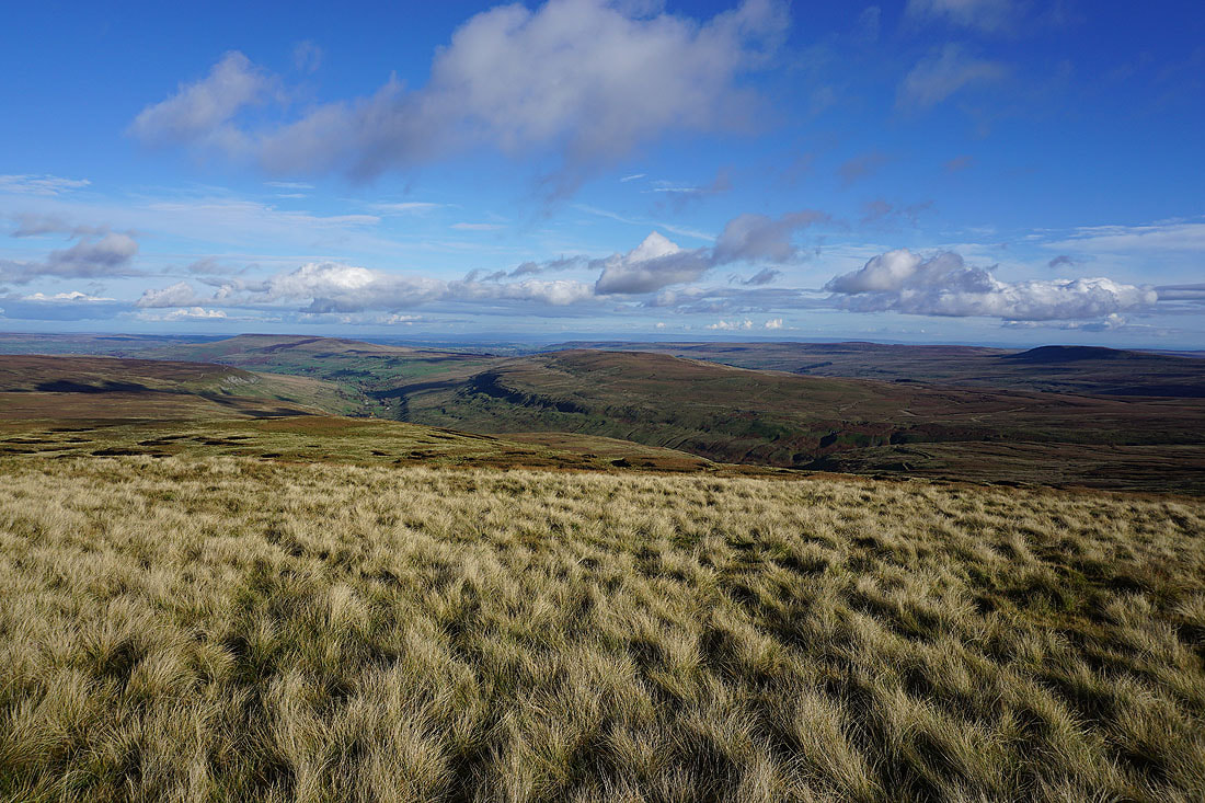
On the other side of the wall. To the northeast and east, the moorland around Waldendale and Coverdale.
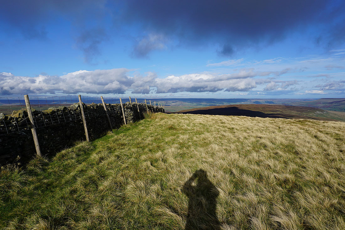
Looking north across the moorland between Bishopdale and Wensleydale
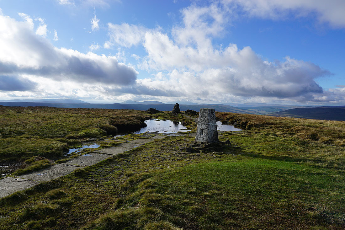
Lunch had and back on the other side of the wall. A few more photos of the view before I head down. Looking west to Fountains Fell, Penyghent, Plover Hill, Ingleborough, and Whernside. The cloud has increased in the time that I've been up here.
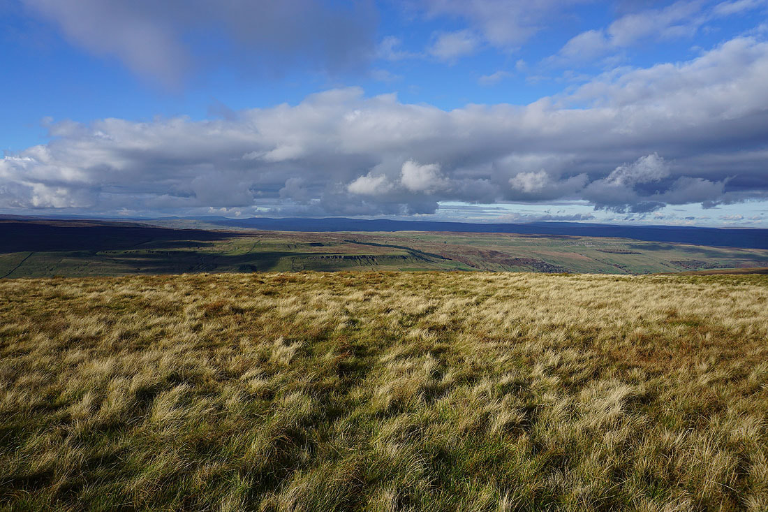
To the north, Kidstones Scar and the moorland of Stake Allotments, with the fells to the north of Wensleydale in the distance
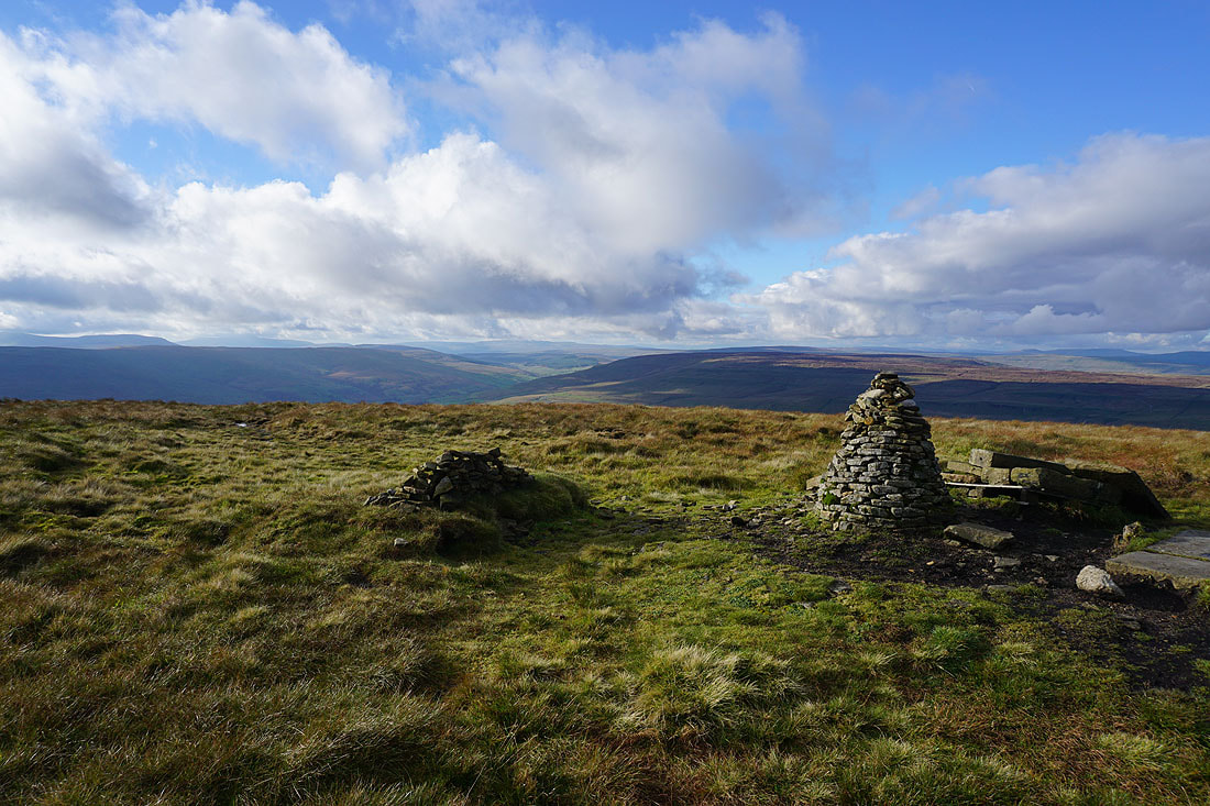
Birks Fell, Langstrothdale, Whernside, and Yockenthwaite Moor to the northwest
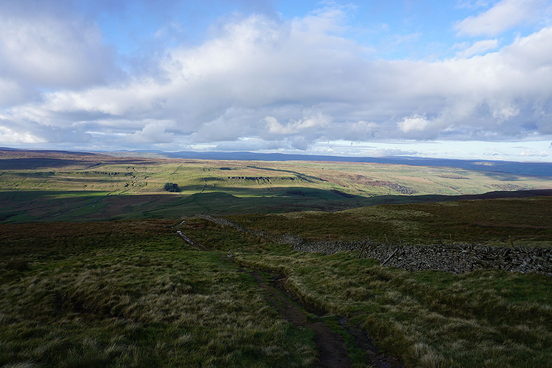
Following the bridleway down to Buckden Rake..
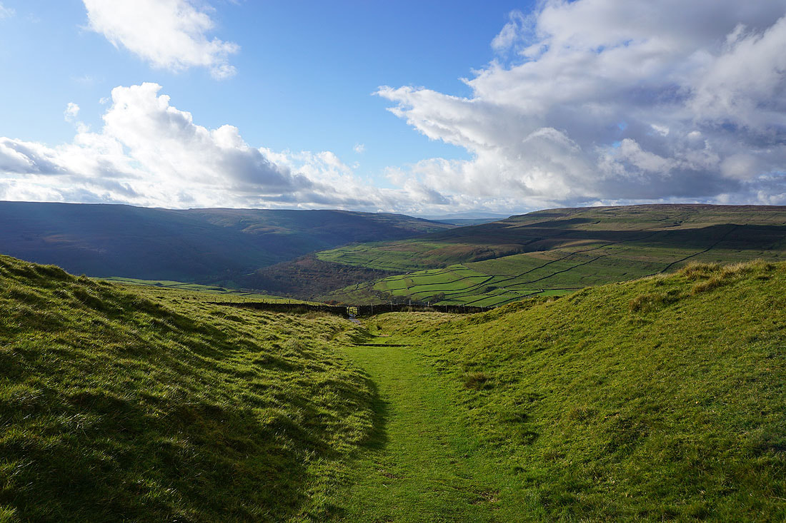
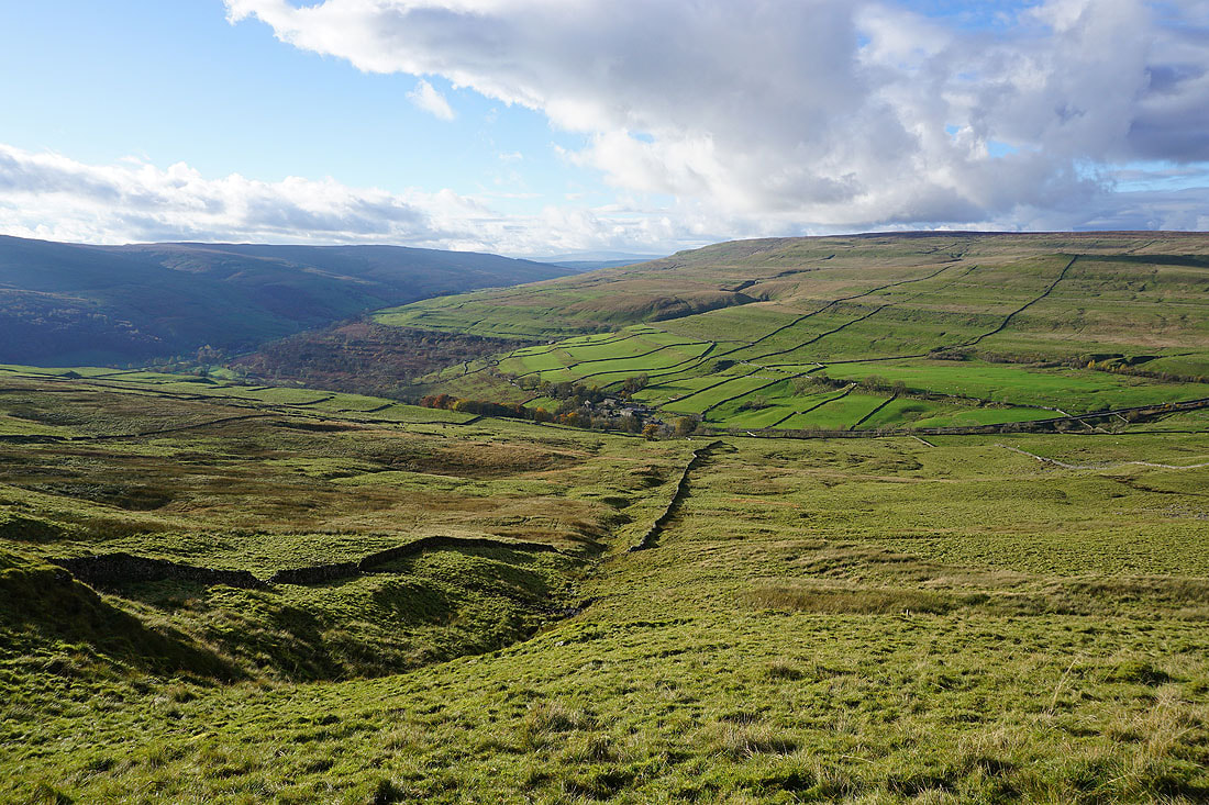
The hamlet of Cray below

Looking across to the Kidstones Pass

Onto the bridleway on Buckden Rake
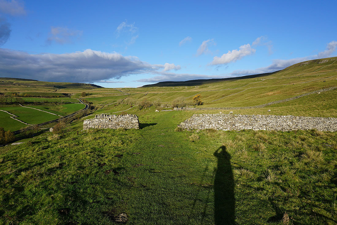
Following the bridleway north towards Cow Close Gill
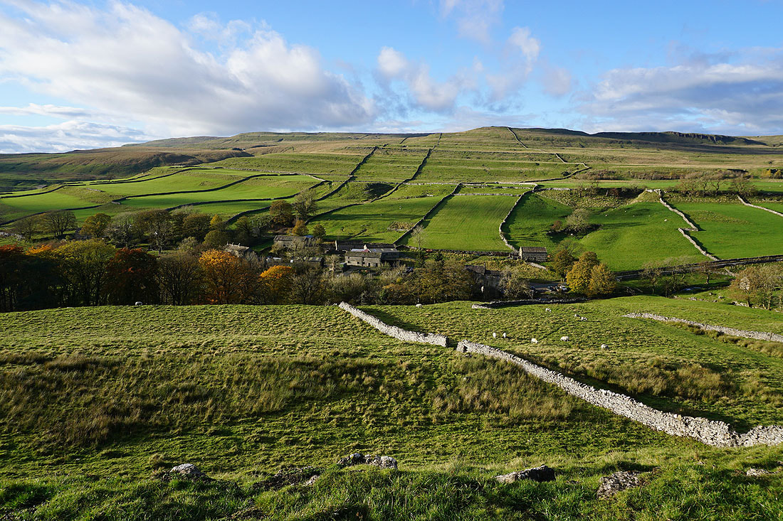
To my left, the hamlet of Cray
|
|
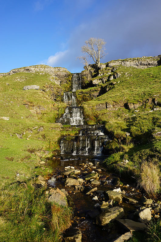
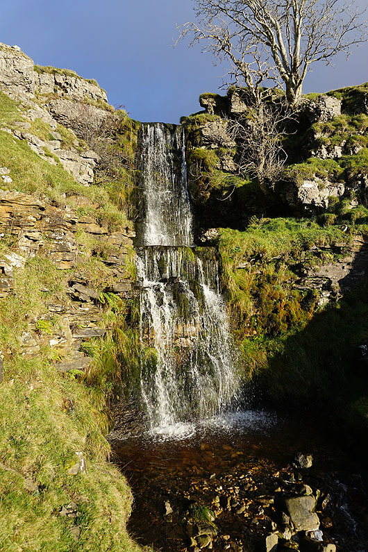
The lower waterfall on Cow Close Gill, just a short walk from the bridleway..
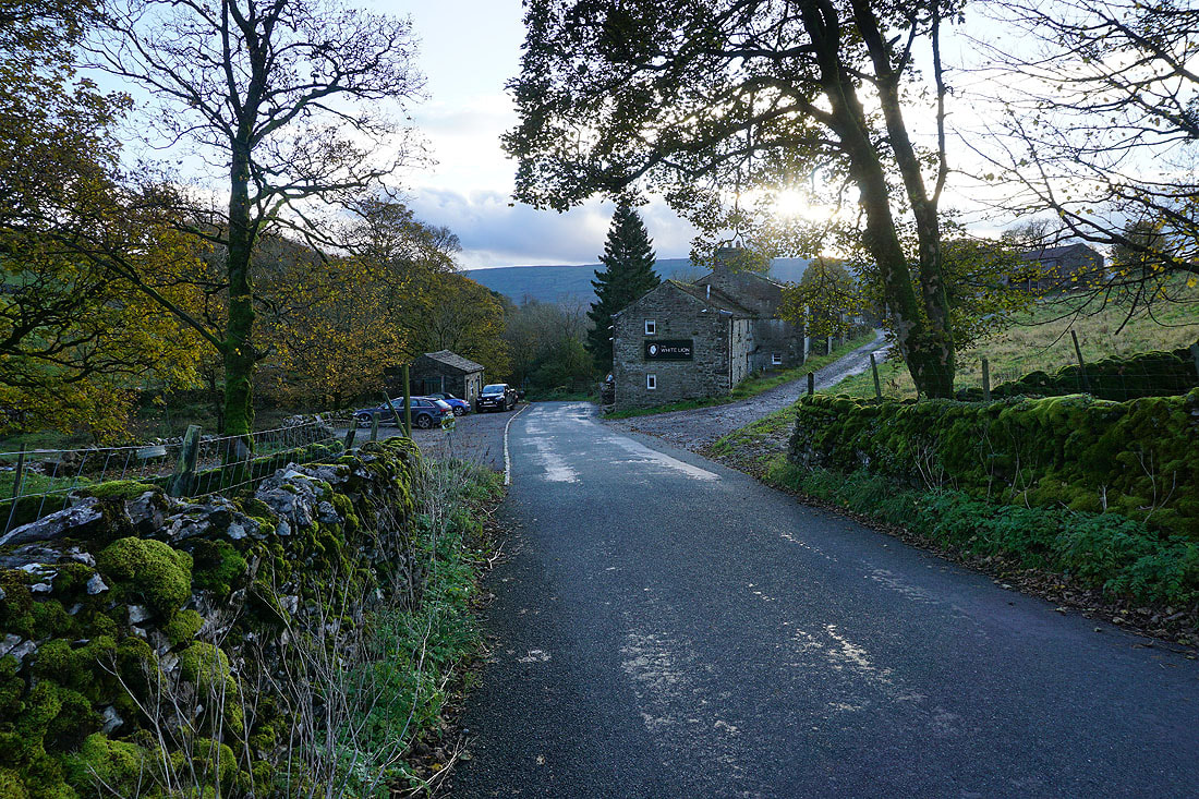
Approaching the White Lion Inn in Cray. I'm going to take the footpath along the track on the right.
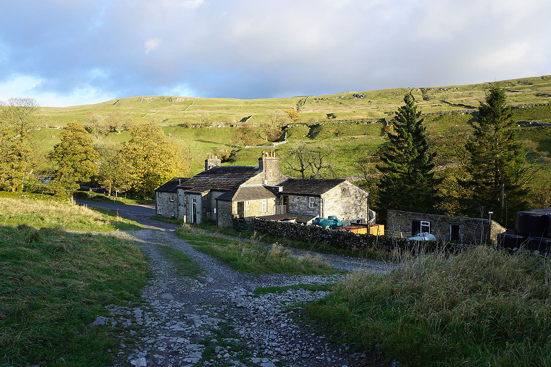
Above the White Lion Inn
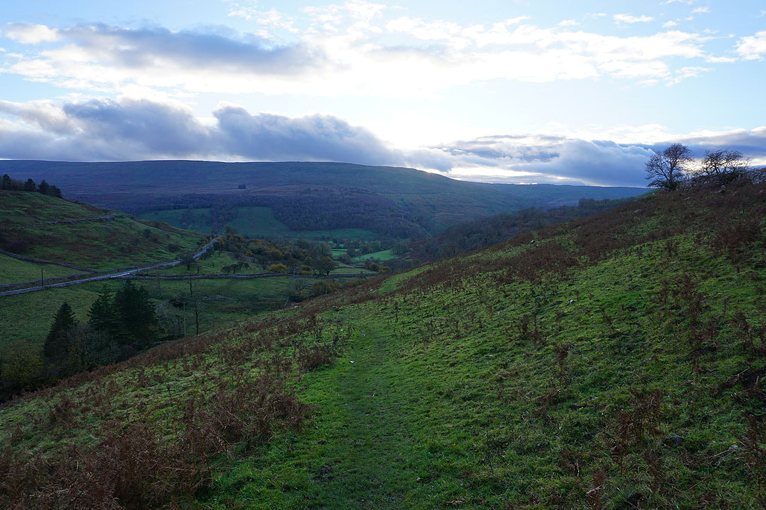
Following the footpath down to Cray Gill
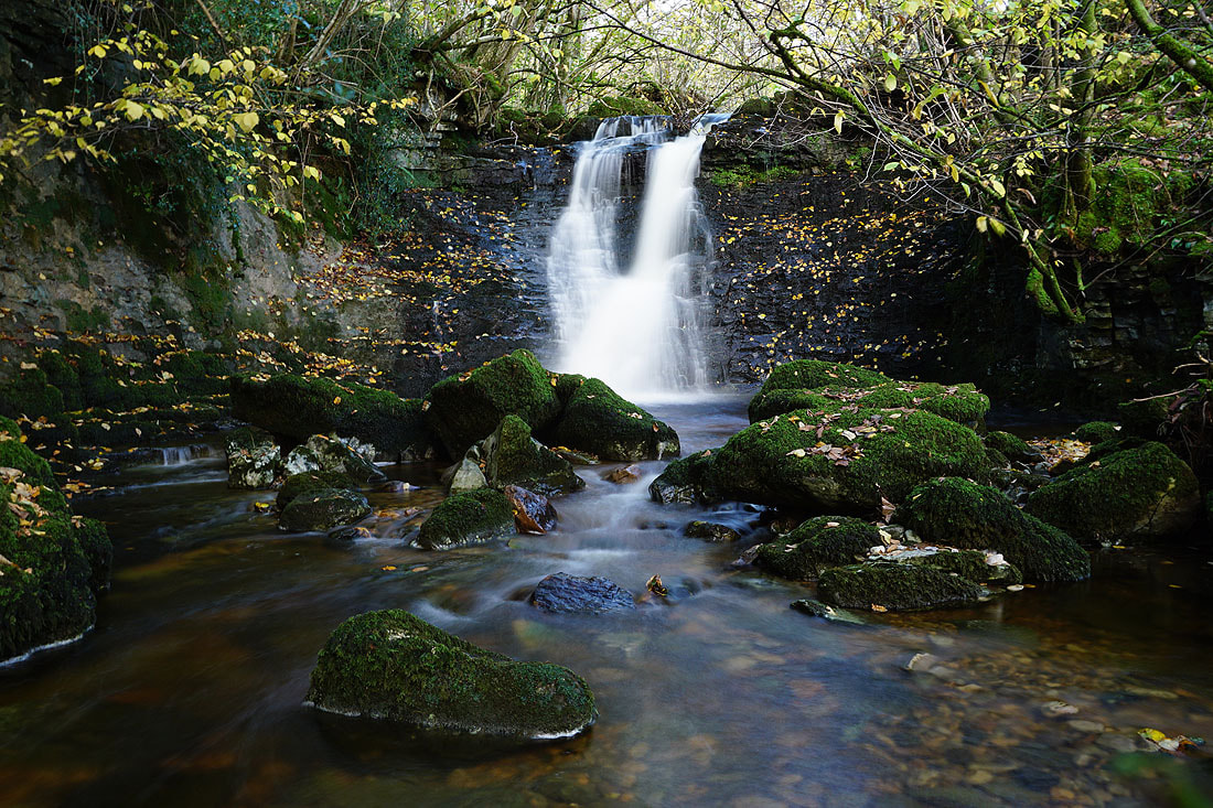
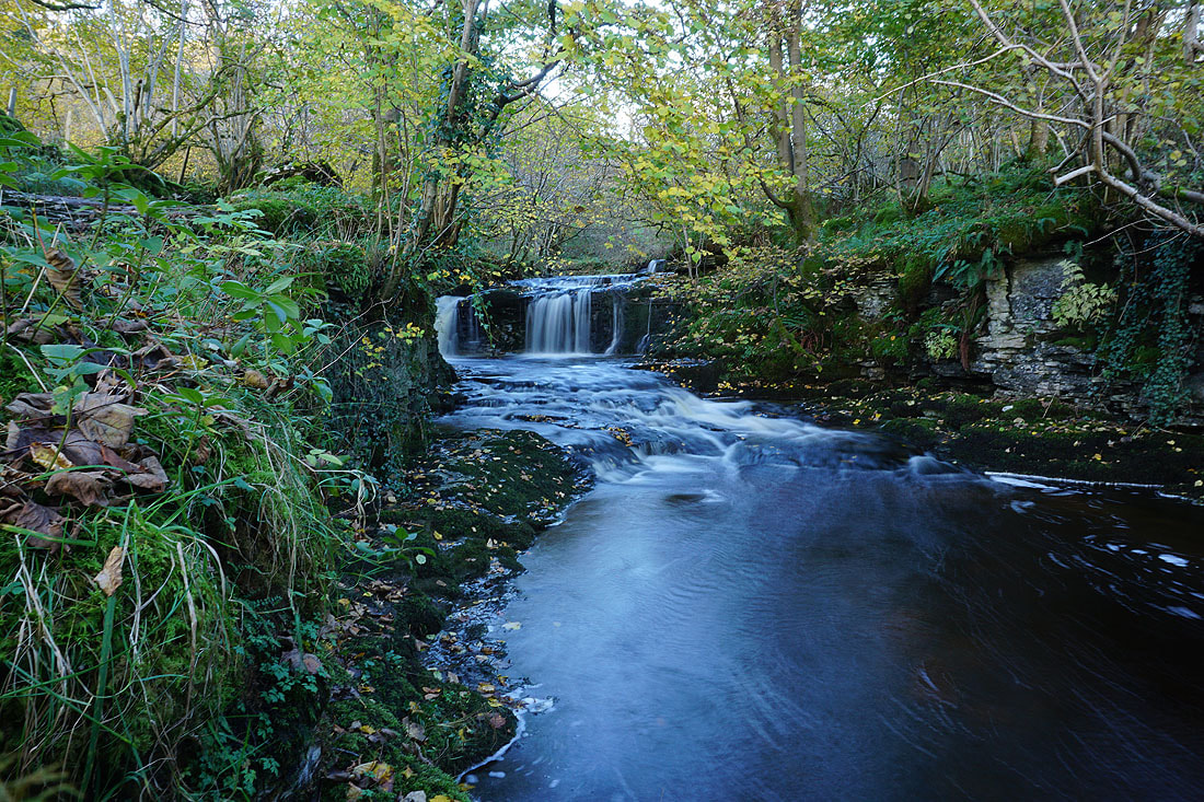
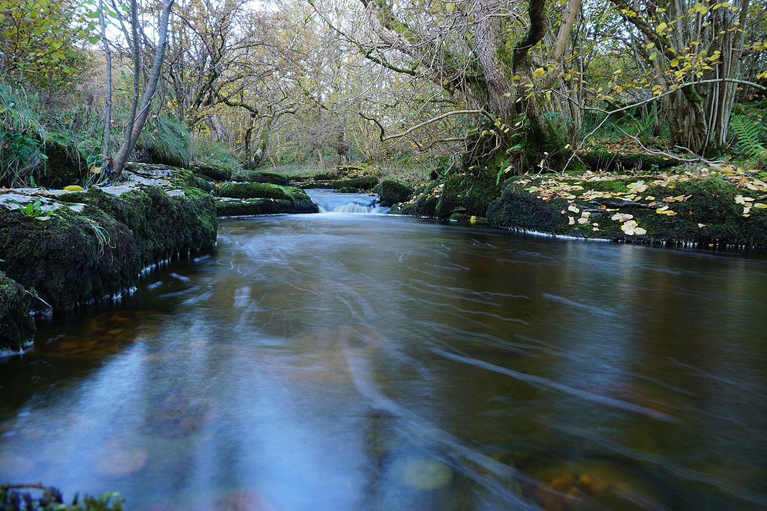
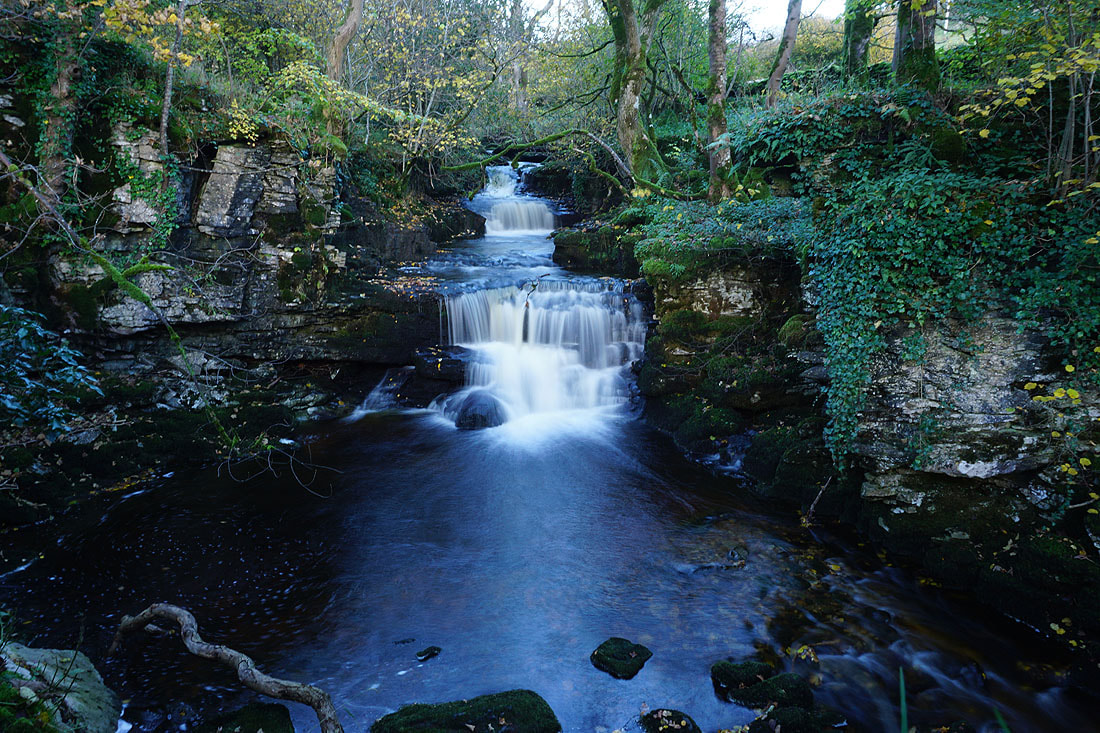
A few photos of the many waterfalls on Cray Gill....
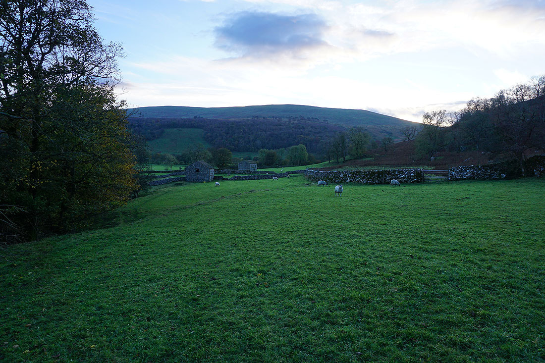
Heading down to the road to Hubberholme
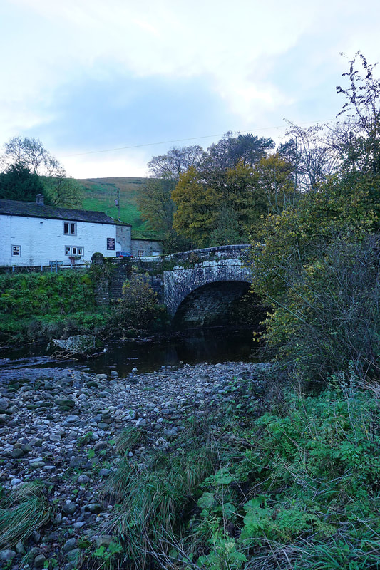
The George Inn, and the bridge over the River Wharfe at Hubberholme
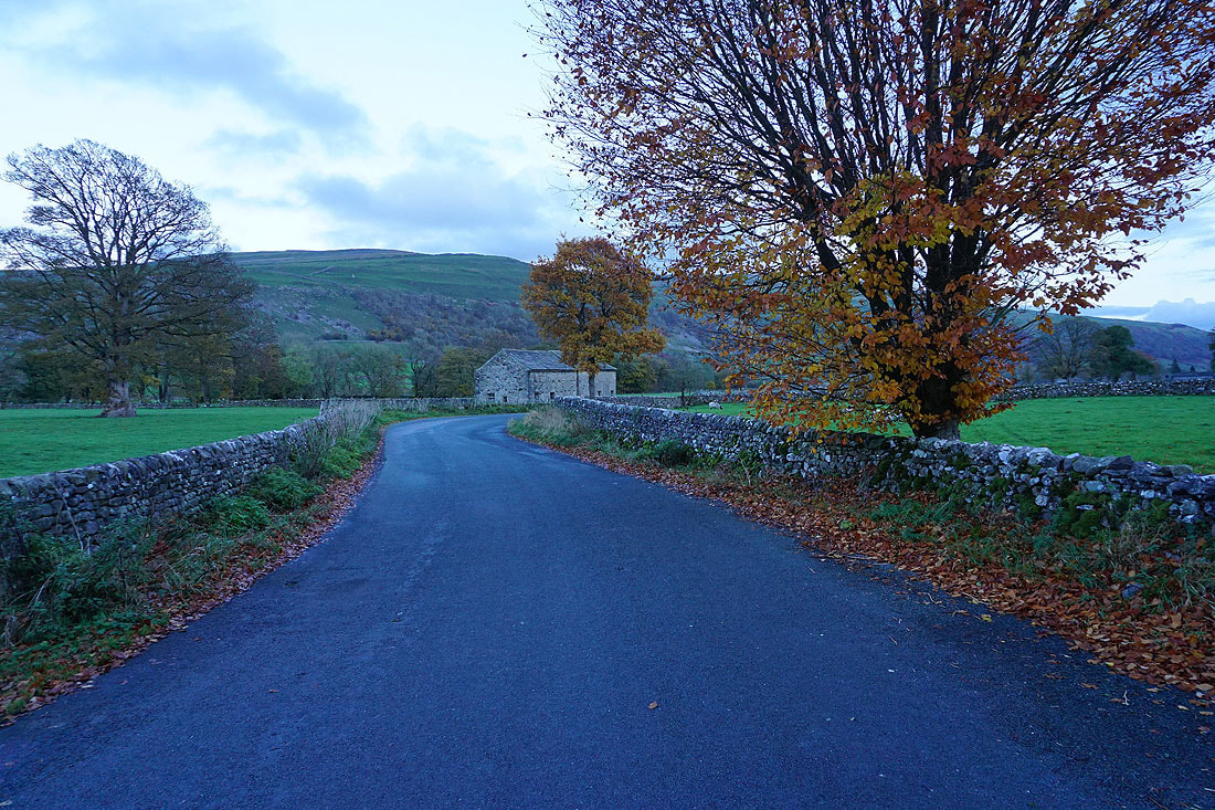
Following the Dales Way along Dubb's Lane
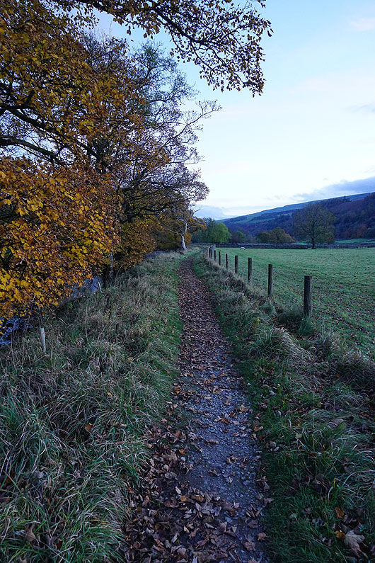
and by the River Wharfe
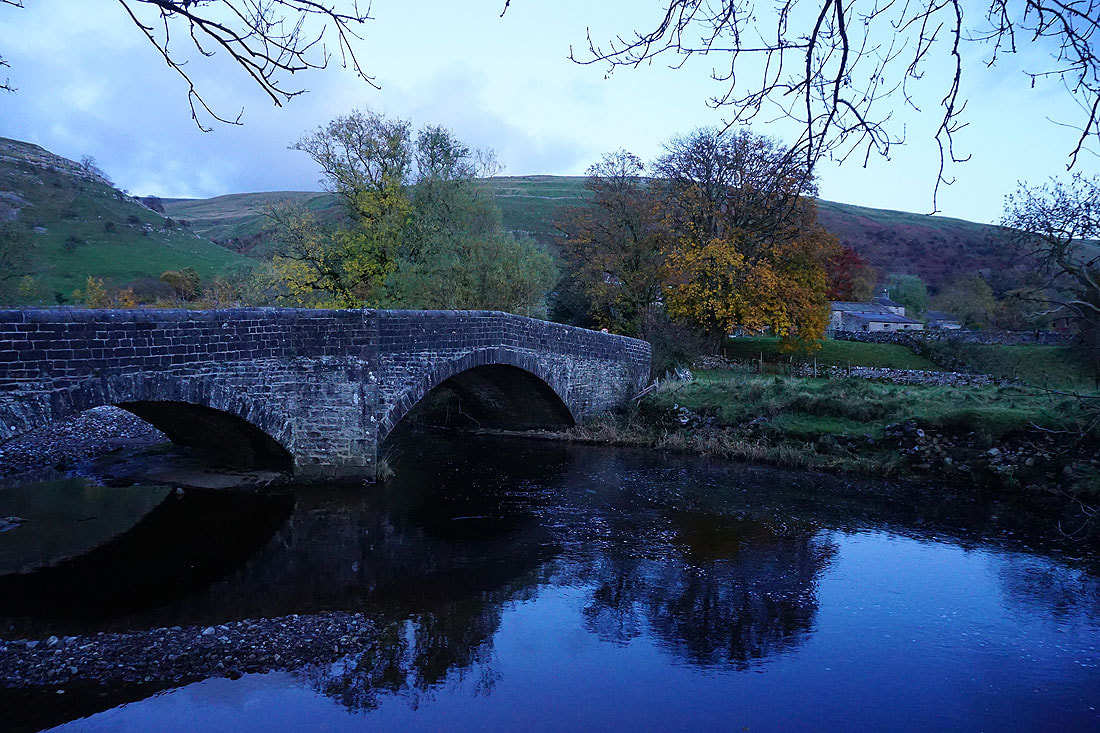
A last shot of the bridge over the River Wharfe below Buckden