5th October 2008 - Kirk Fell and Great Gable
Walk Details
Distance walked: 5.5 miles
Total ascent: 3383 ft
OS map used: OL4 - The English Lakes, South-western area
Time taken: 6 hrs
Route description: Wasdale Head-Highnose Head-Kirk Fell-Beck Head-Great Gable-Sty Head-Burnthwaite-Wasdale Head
A cool early autumn day for this visit to Wasdale to tackle Kirk Fell and Great Gable. There was great visibility and the first signs of the colder weather to come with a touch of ice on the puddles on top of Kirk Fell.
From Wasdale Head I went straight for the direct ascent of Kirk Fell. There's nothing difficult about it apart from it seeming to go on for ever. When I'd finally reached Kirk Fell's summit I also paid a visit to the east top before descending to Beck Head to climb Great Gable. From Great Gable I made the descent to Sty Head and then back to Wasdale Head.
Route map
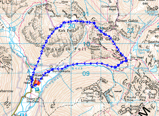
© Crown copyright. All rights reserved. License number PU 100034184.
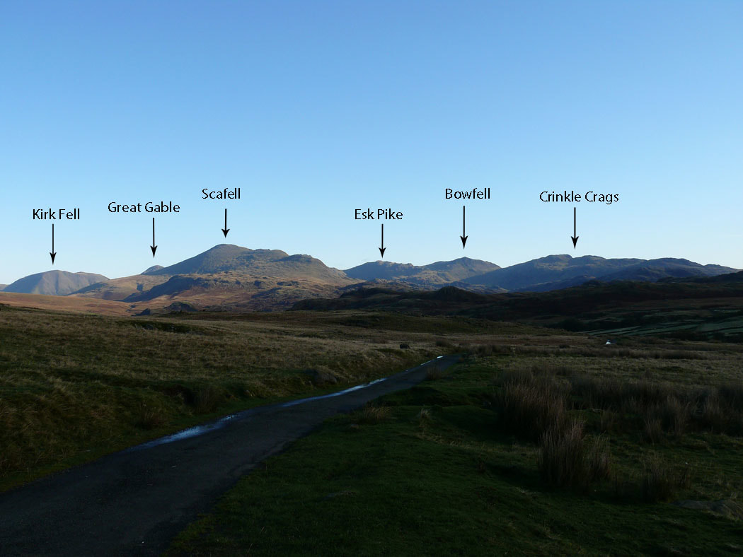
On the drive across the Birker Fell road and I just had to stop to take a picture of the view. It's not easy keeping your eyes on the road sometimes.
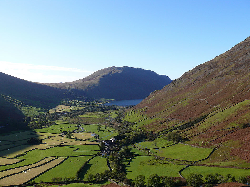
I've started the climb up Kirk Fell and the view has started to open out over the head of Wasdale and to Wast Water
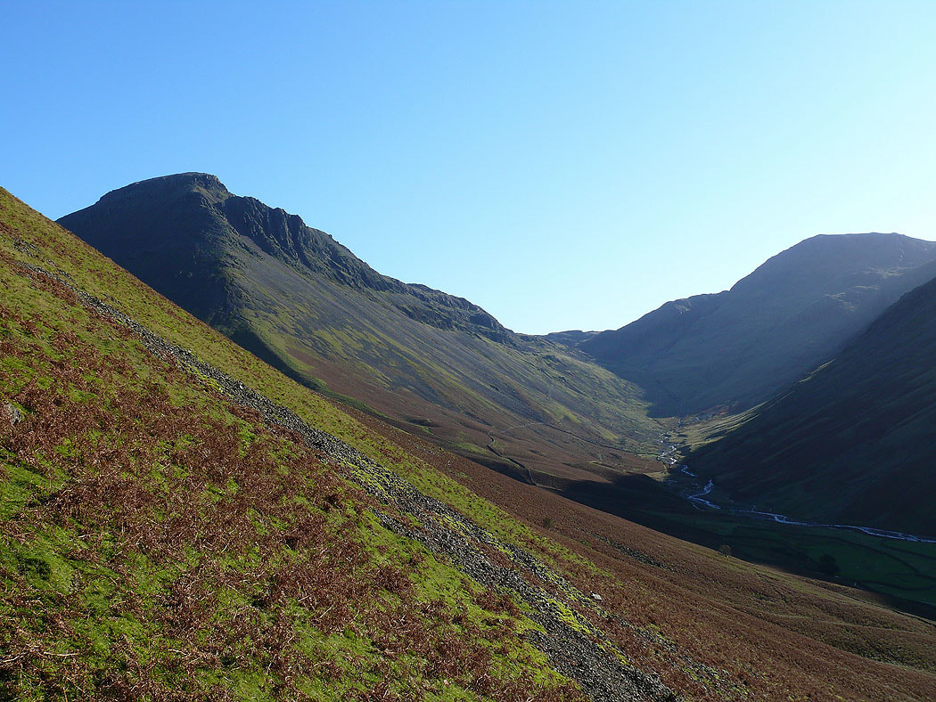
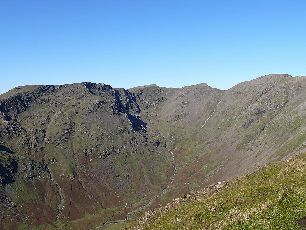
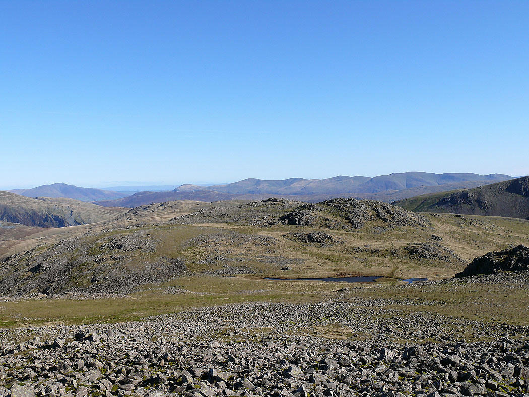
A peep around the corner to Great Gable and Sty Head
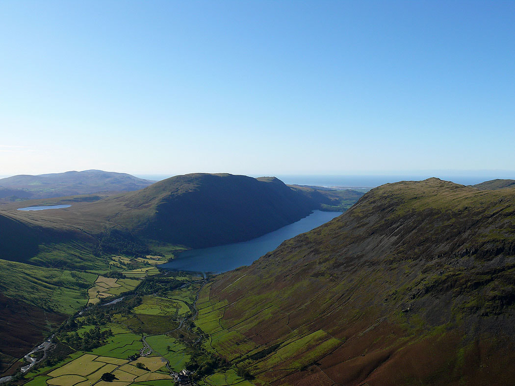
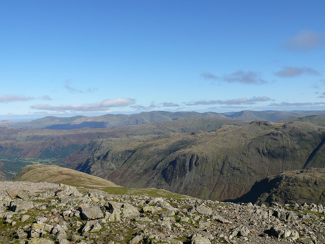
Not far to go now and a great view down Wasdale to Wast Water
Lingmell and the Scafells loom large on the other side of Lingmell Beck
Red Pike, Scoat Fell, Back Crag and Pillar around Mosedale
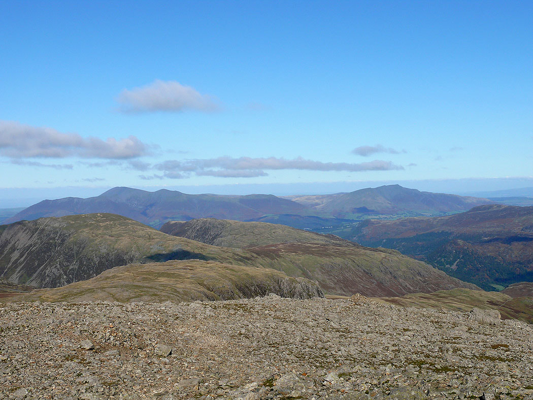
Finally on the summit of Kirk Fell. The view north to Grasmoor, Crag Hill, Robinson and Skiddaw.
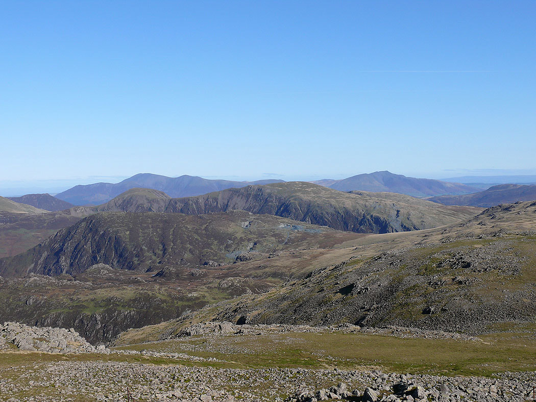
Skiddaw and Blencathra beyond Hindscarth and Dale Head
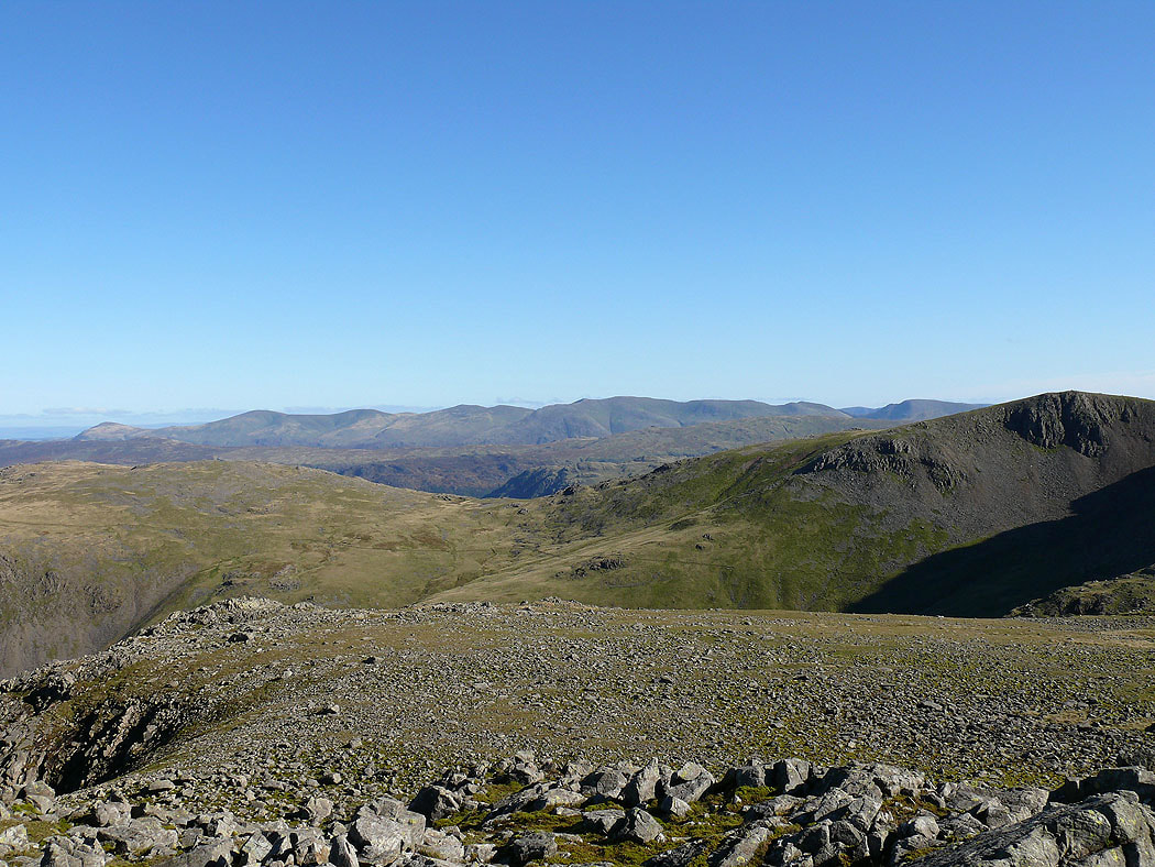
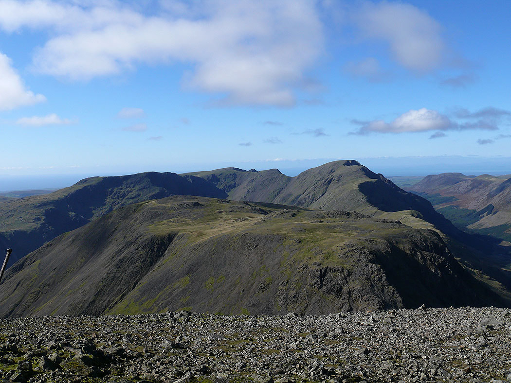
Pillar and the High Stile range
The view across to the east top with the Helvellyn range in the distance
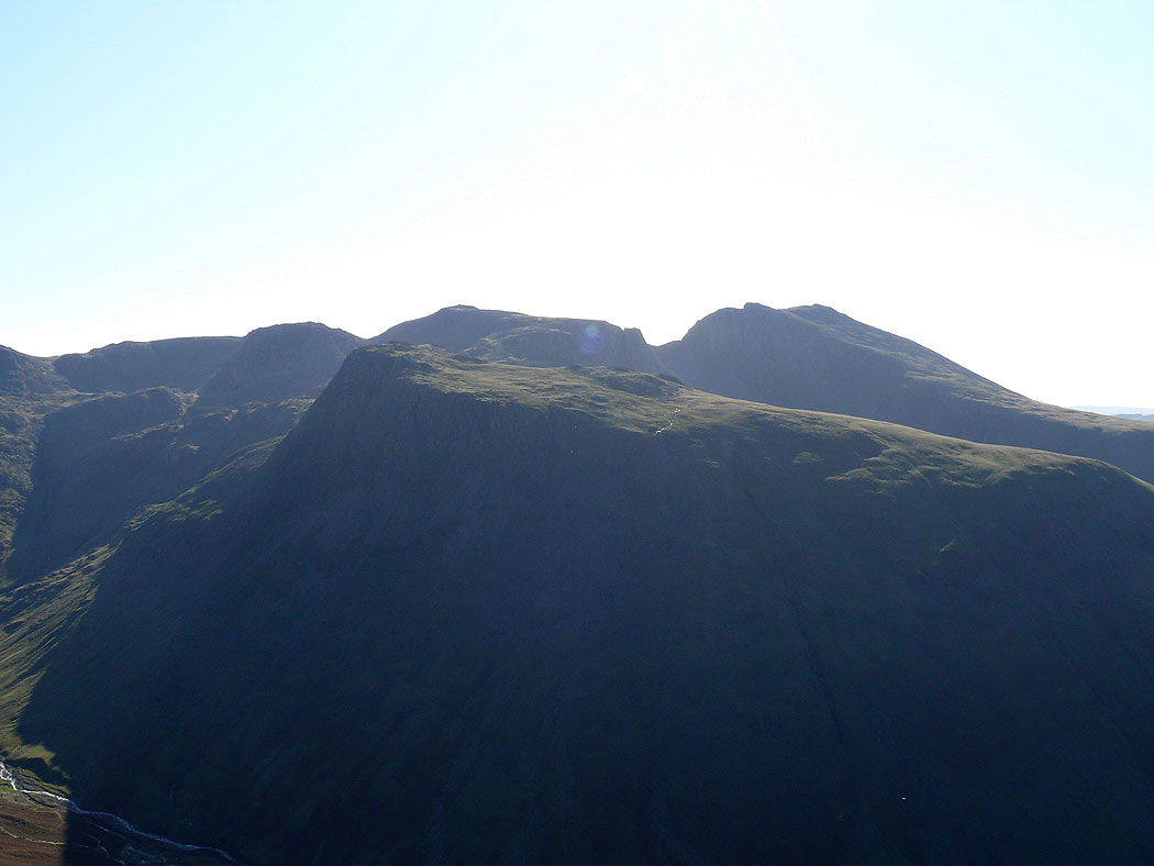
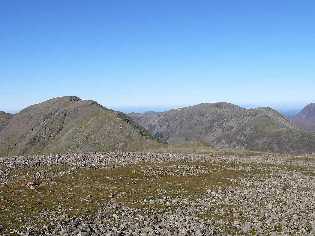
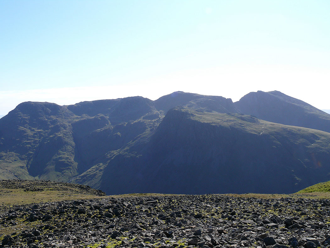
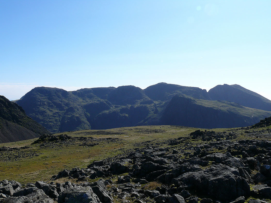
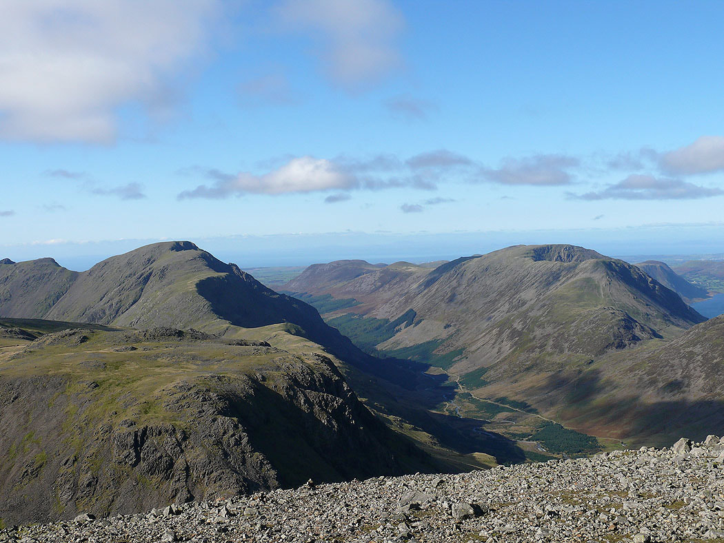
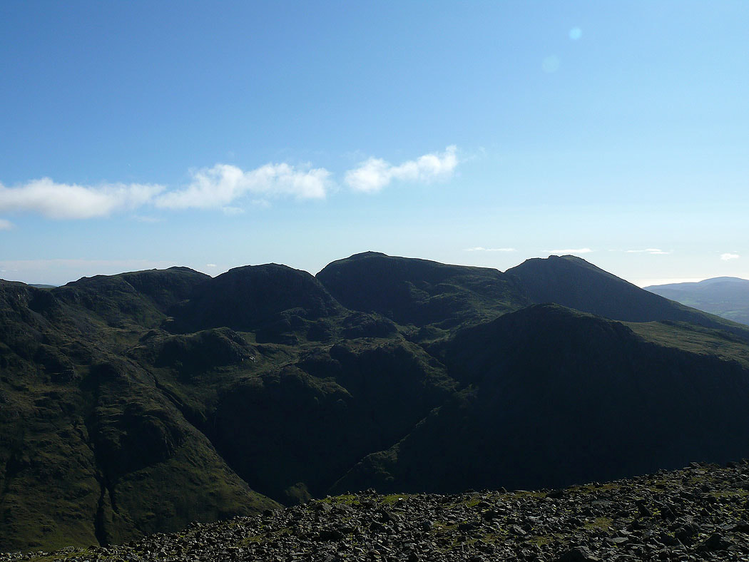
Green Gable and Great Gable
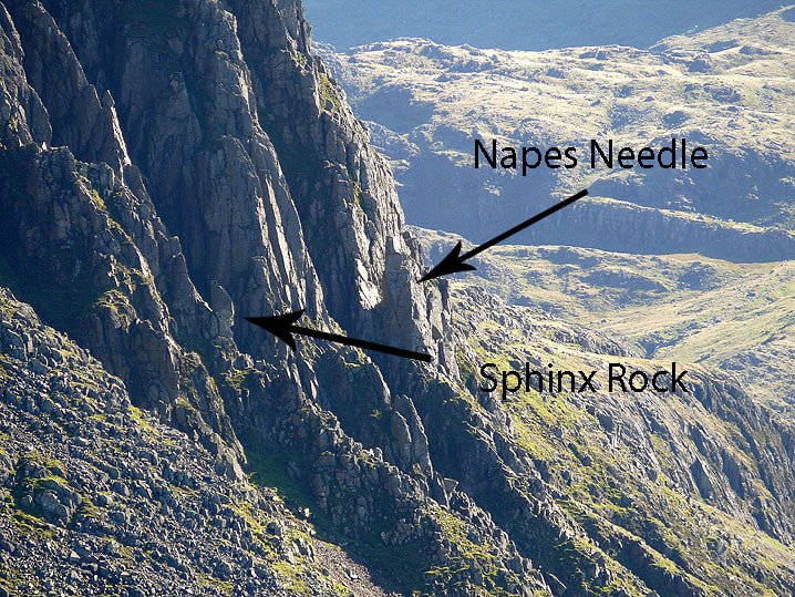
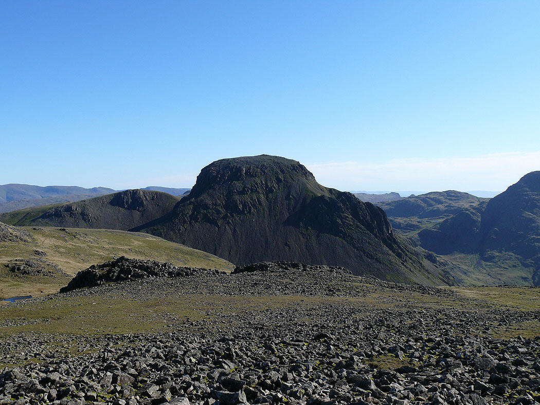
Zooming in on the Napes Crags
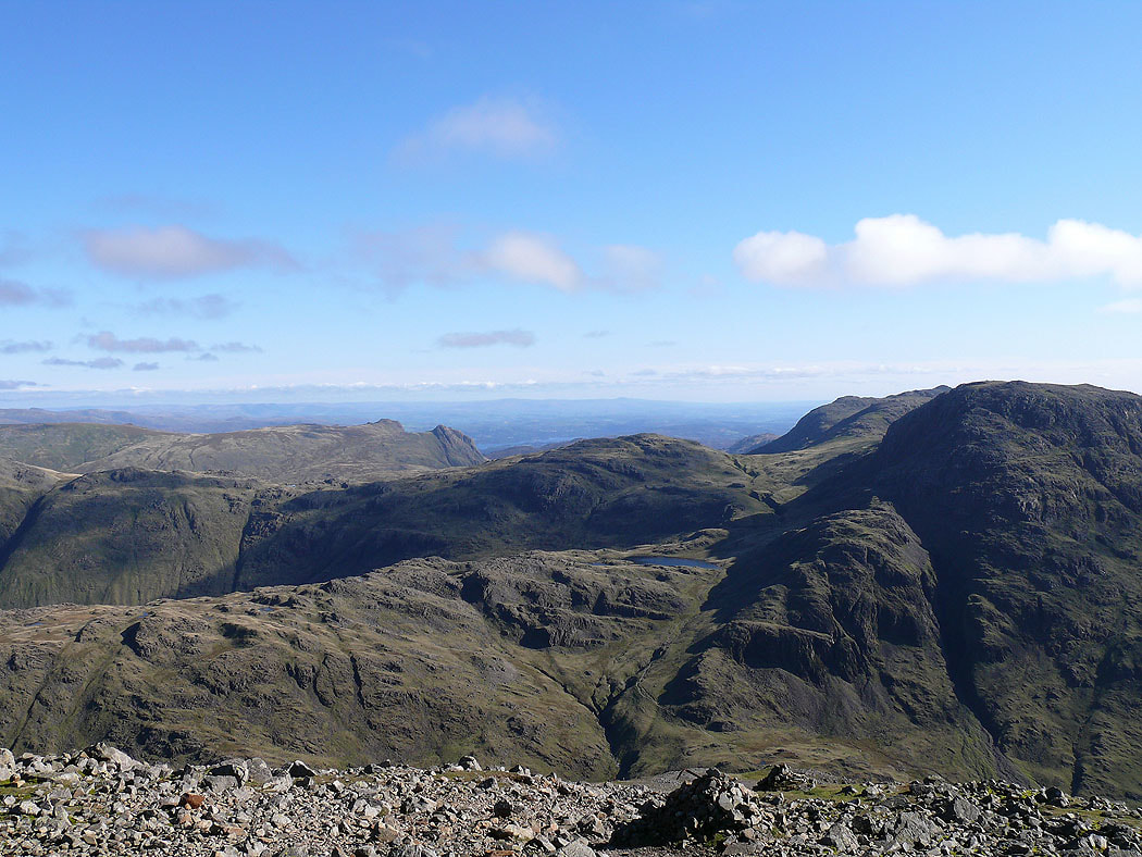
Great End, Broad Crag, Scafell Pike and Scafell with Lingmell in front of Scafell Pike
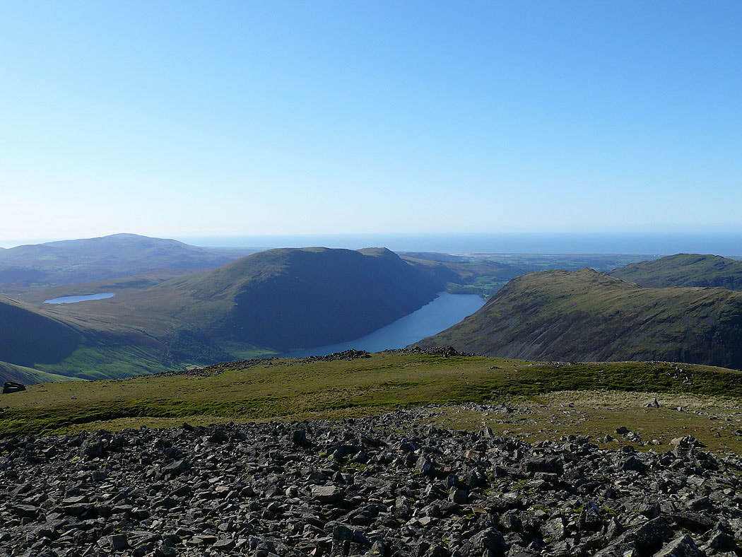
The view down to Wast Water. The stretch of water on the left is Burnmoor Tarn.
A better view of Green and Great Gable from the east top
and across to the Helvellyn range
The Scafells and Lingmell

Pillar and the High Stile range separated by Ennerdale
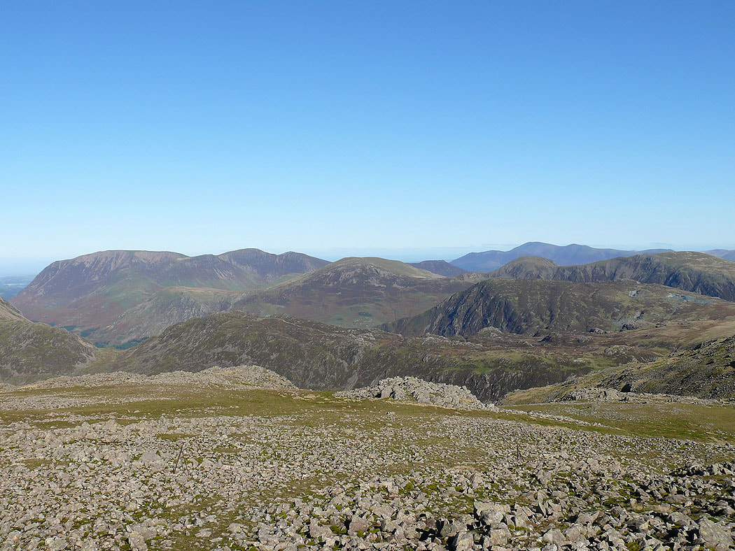
High Stile, High Crag and Hay Stacks with Grasmoor, Crag Hill and Robinson in the distance on the right
The view from Great Gable across to Helvellyn
Skiddaw and Blencathra
Pillar, Ennerdale and High Stile
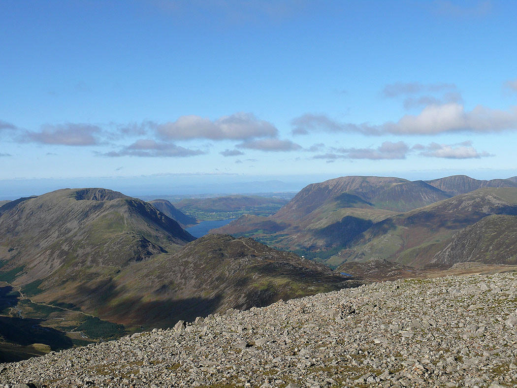
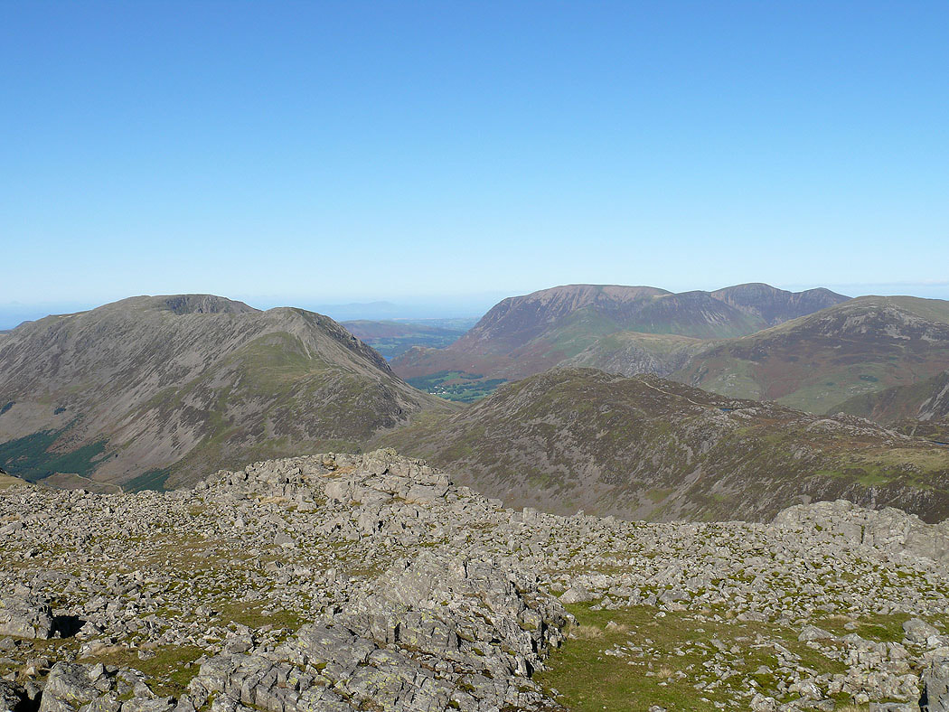
The fells around the Buttermere valley
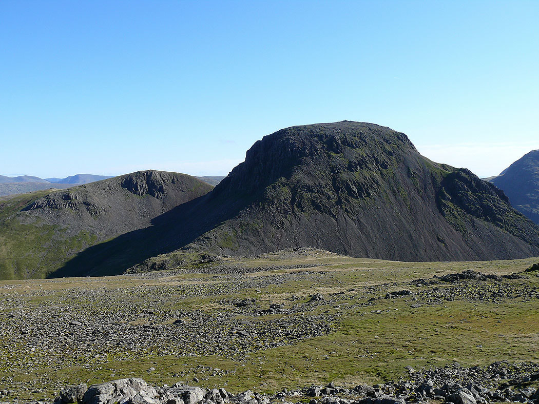
The Pillar group of fells behind Kirk Fell
Ill Crag, Broad Crag, Scafell Pike, Scafell and Lingmell
A glimpse of Windermere behind the Langdale Pikes
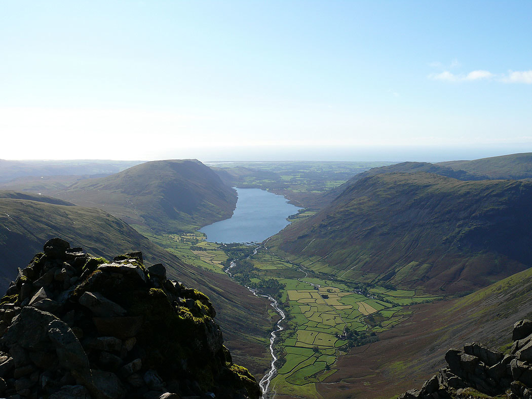
Wast Water from the Westmorland Cairn
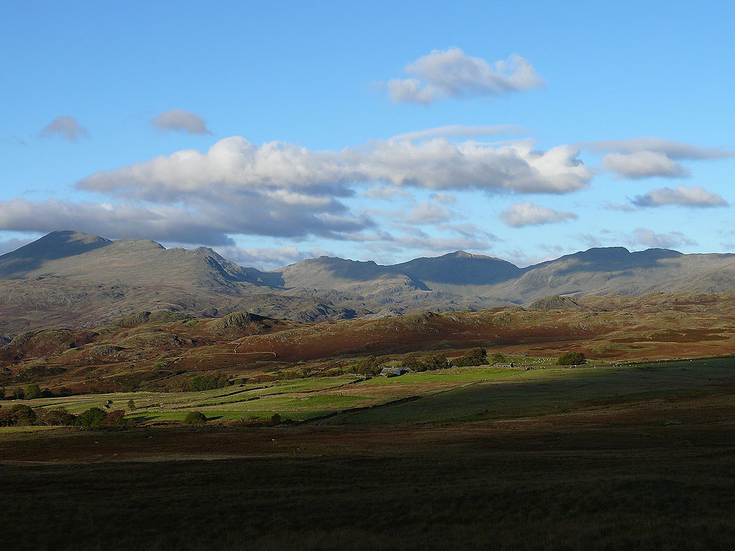
That view again as I head back across the Birker Fell road