5th October 2019 - Wharfedale Moors
Walk Details
Distance walked: 15.3 miles
Total ascent: 1941 ft
OS map used: OL2 - Yorkshire Dales, Southern & Western areas
Time taken: 7.5 hrs
Route description: Linton Falls car park-B6160-Linton-B6265-Moor Lane-Linton Moor-Hamerton Hill-Boss Moor-Threshfield Moor-Bordley-Mastiles Lane-Mastiles Gate-Malham Moor Lane-Holgates Kilnsey Moor-Malham Moor Lane-Height Laithe-Threshfield Moor-Lane House-Grysedale Lane-Moor Lane-B6265-Well Lane-Linton-B6160-Linton Fall car park
For my planned walk this weekend I'd decided to do this route that I worked out that would take me across the moors on the western side of Wharfedale above Threshfield. The weather forecast was for mostly cloudy skies with the tops of the fells in it; windy, especially higher up; and for rain to arrive by the end of the afternoon, so a route that didn't venture too high was ideal. The occasional bits of brightness and even an odd glimpse of the sun were a welcome bonus. I certainly racked up the miles on this walk. Although I knew it was long from the area it crossed on my map, I didn't realise just how long until I plotted it on my mapping software. It's a good job that most of it was on bridleways so that a reasonable pace could be set. After a few failed attempts I finally visited the trig point on Holgates Kilnsey Moor. It was just a matter of trying to find a good way of accessing it and it can be from the western end of Malham Moor Lane.
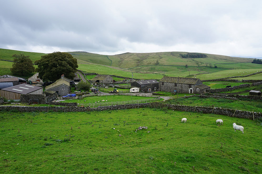
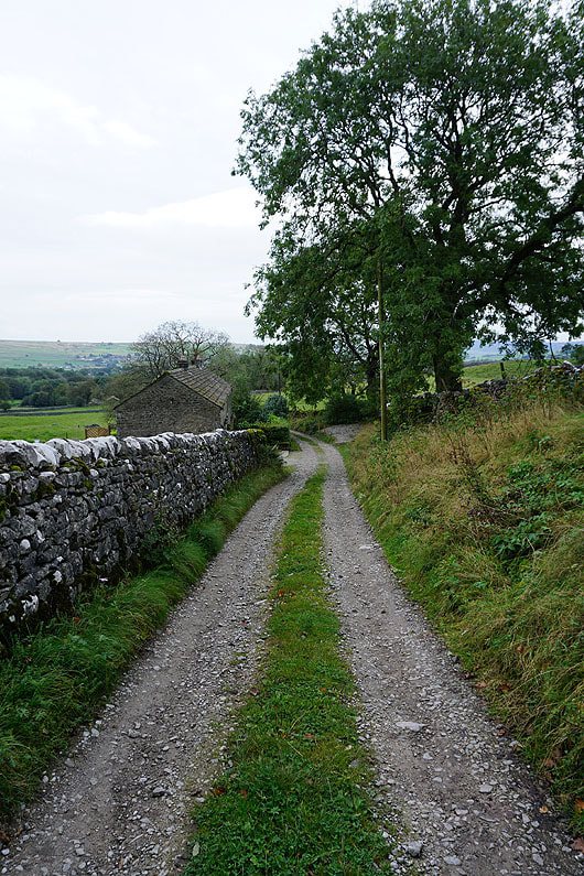
After parking in the Linton Falls car park I paid a visit to Linton Falls before walking back along the lane past the car park to a public footpath sign on the right. The path soon divided and I took the right hand one up to the B6160, where I turned right and took the lane on the left to Linton. I then walked west through Linton on Lauradale Lane until I reached a bridleway on the right, which I took and walked west along to reach Tarns Lane. After crossing the road I took the track of Moor Lane west onto Linton Moor, then a bridleway north to Hamerton Hill, where I turned left, crossed the ford on Hamerton Hill Syke, and followed a path west across Boss Moor. When the path reached Boss Moor Lane I picked up the bridleway north to Threshfield Moor, which I kept on until I'd passed the bridleway down to Lane Head, and then took the next footpath on the left down to the bridleway above Bordley Hall. I followed the bridleway north to the hamlet of Bordley, then turned left and took the bridleway west for Smearbottoms Lane until I reached a path on the right which took me north to Mastiles Lane. I walked east along Mastiles Lane to Mastiles Gate and then south on the bridleway to Malham Moor Lane. When I reached Malham Moor Lane I made my way up access land to the trig point on Holgates Kilnsey Moor, and after taking in the view retraced my steps back down to the road. I then walked east down Malham Moor Lane, took the bridleway on the right for Boss Moor, and followed this south until I reached the bridleway on Threshfield Moor that I was on earlier in the day. I wasn't on that bridleway for long though, and after passing the bridleway down to Lane Head on the right, I took a footpath east across Threshfield Moor and down to the track past Lane House to the junction of Wood Lane and Grysedale Lane. Here I turned right, walked south along Gyresdale Lane, then east along Moor Lane to Tarns Lane, which I crossed, and then took the footpath opposite across fields to the track of Well Lane into Linton. From Linton I retraced the steps of my outbound route back to the car park for Linton Falls.
Total ascent: 1941 ft
OS map used: OL2 - Yorkshire Dales, Southern & Western areas
Time taken: 7.5 hrs
Route description: Linton Falls car park-B6160-Linton-B6265-Moor Lane-Linton Moor-Hamerton Hill-Boss Moor-Threshfield Moor-Bordley-Mastiles Lane-Mastiles Gate-Malham Moor Lane-Holgates Kilnsey Moor-Malham Moor Lane-Height Laithe-Threshfield Moor-Lane House-Grysedale Lane-Moor Lane-B6265-Well Lane-Linton-B6160-Linton Fall car park
For my planned walk this weekend I'd decided to do this route that I worked out that would take me across the moors on the western side of Wharfedale above Threshfield. The weather forecast was for mostly cloudy skies with the tops of the fells in it; windy, especially higher up; and for rain to arrive by the end of the afternoon, so a route that didn't venture too high was ideal. The occasional bits of brightness and even an odd glimpse of the sun were a welcome bonus. I certainly racked up the miles on this walk. Although I knew it was long from the area it crossed on my map, I didn't realise just how long until I plotted it on my mapping software. It's a good job that most of it was on bridleways so that a reasonable pace could be set. After a few failed attempts I finally visited the trig point on Holgates Kilnsey Moor. It was just a matter of trying to find a good way of accessing it and it can be from the western end of Malham Moor Lane.
After parking in the Linton Falls car park I paid a visit to Linton Falls before walking back along the lane past the car park to a public footpath sign on the right. The path soon divided and I took the right hand one up to the B6160, where I turned right and took the lane on the left to Linton. I then walked west through Linton on Lauradale Lane until I reached a bridleway on the right, which I took and walked west along to reach Tarns Lane. After crossing the road I took the track of Moor Lane west onto Linton Moor, then a bridleway north to Hamerton Hill, where I turned left, crossed the ford on Hamerton Hill Syke, and followed a path west across Boss Moor. When the path reached Boss Moor Lane I picked up the bridleway north to Threshfield Moor, which I kept on until I'd passed the bridleway down to Lane Head, and then took the next footpath on the left down to the bridleway above Bordley Hall. I followed the bridleway north to the hamlet of Bordley, then turned left and took the bridleway west for Smearbottoms Lane until I reached a path on the right which took me north to Mastiles Lane. I walked east along Mastiles Lane to Mastiles Gate and then south on the bridleway to Malham Moor Lane. When I reached Malham Moor Lane I made my way up access land to the trig point on Holgates Kilnsey Moor, and after taking in the view retraced my steps back down to the road. I then walked east down Malham Moor Lane, took the bridleway on the right for Boss Moor, and followed this south until I reached the bridleway on Threshfield Moor that I was on earlier in the day. I wasn't on that bridleway for long though, and after passing the bridleway down to Lane Head on the right, I took a footpath east across Threshfield Moor and down to the track past Lane House to the junction of Wood Lane and Grysedale Lane. Here I turned right, walked south along Gyresdale Lane, then east along Moor Lane to Tarns Lane, which I crossed, and then took the footpath opposite across fields to the track of Well Lane into Linton. From Linton I retraced the steps of my outbound route back to the car park for Linton Falls.
Route map
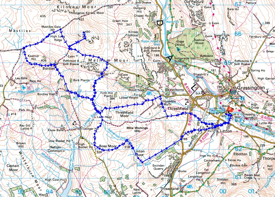
© Crown copyright. All rights reserved. License number PU 100034184.
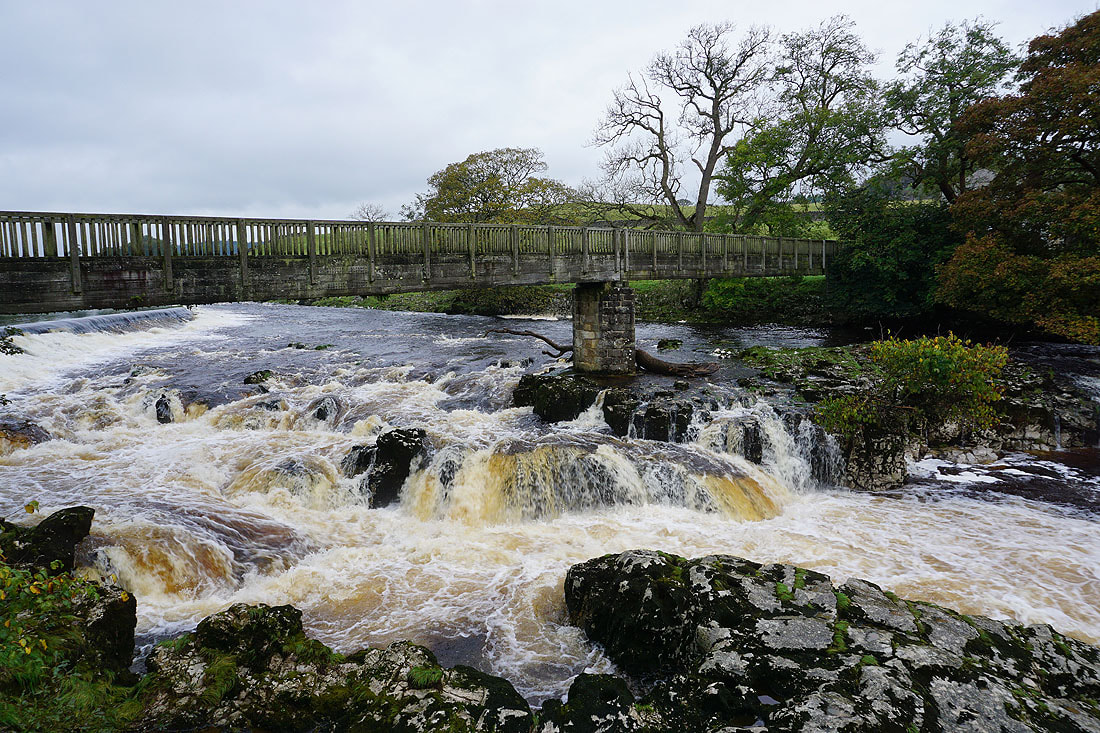
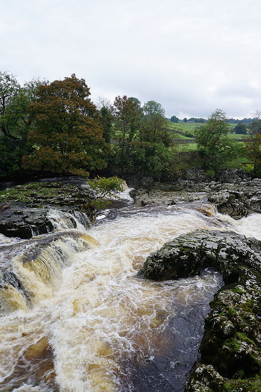
Before I set off, a quick visit to Linton Falls...
Looking across to Edge Top from the path to Linton
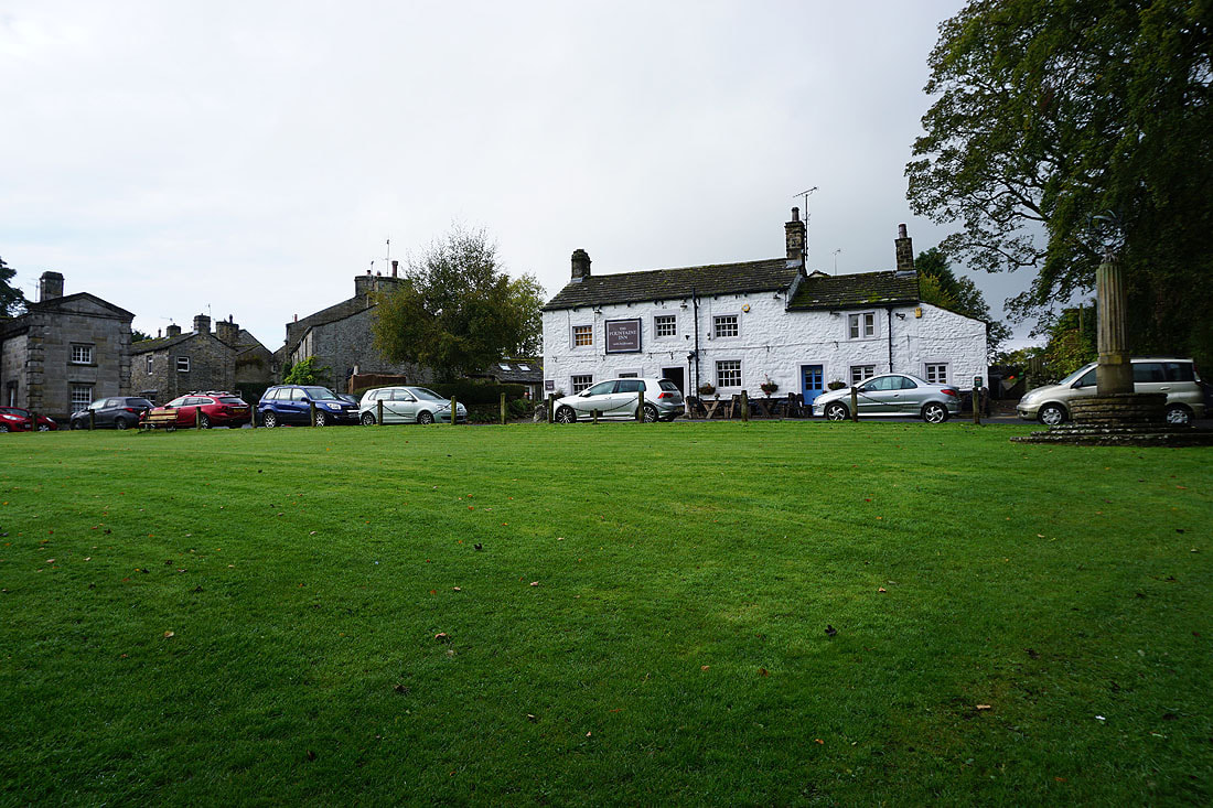
The Fountaine Inn in Linton
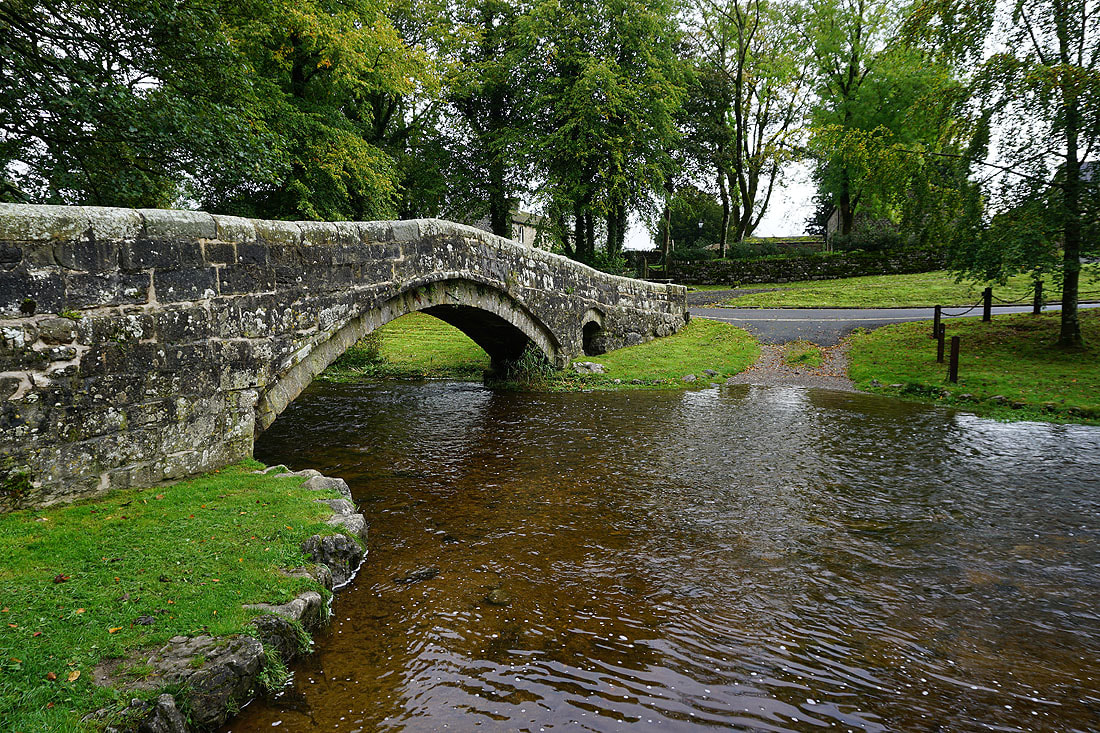
The old bridge over Linton Beck
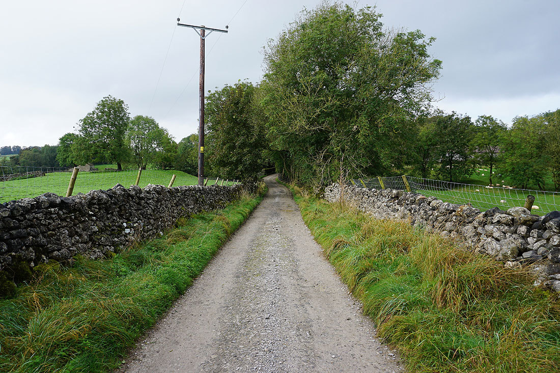
I leave Linton by taking a bridleway west to Tarns Lane
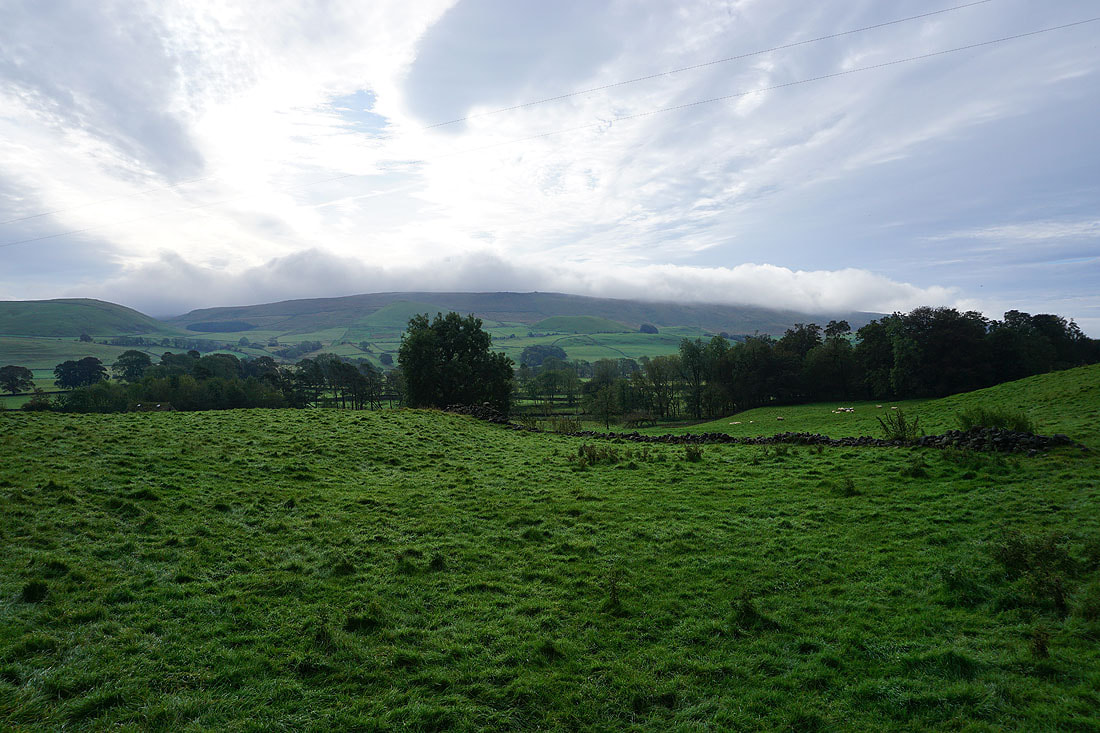
A cloud topped Cracoe Fell to the south..
|
|
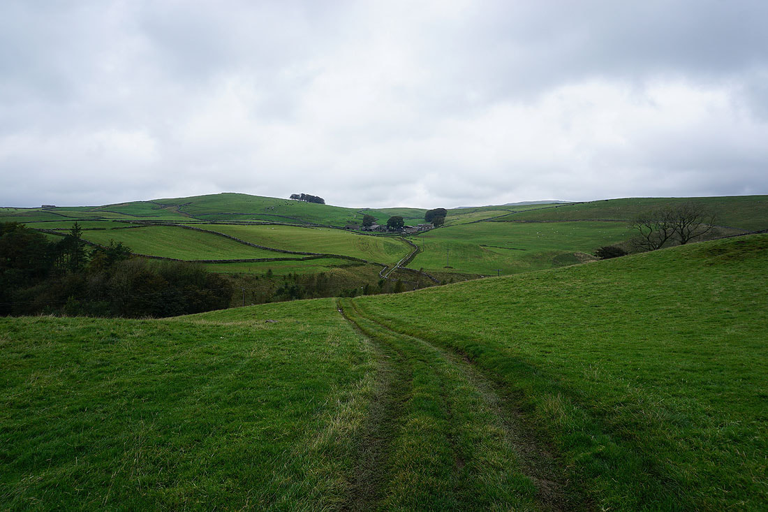
I follow the track down to Tarns Lane, cross it, and take the track of Moor Lane
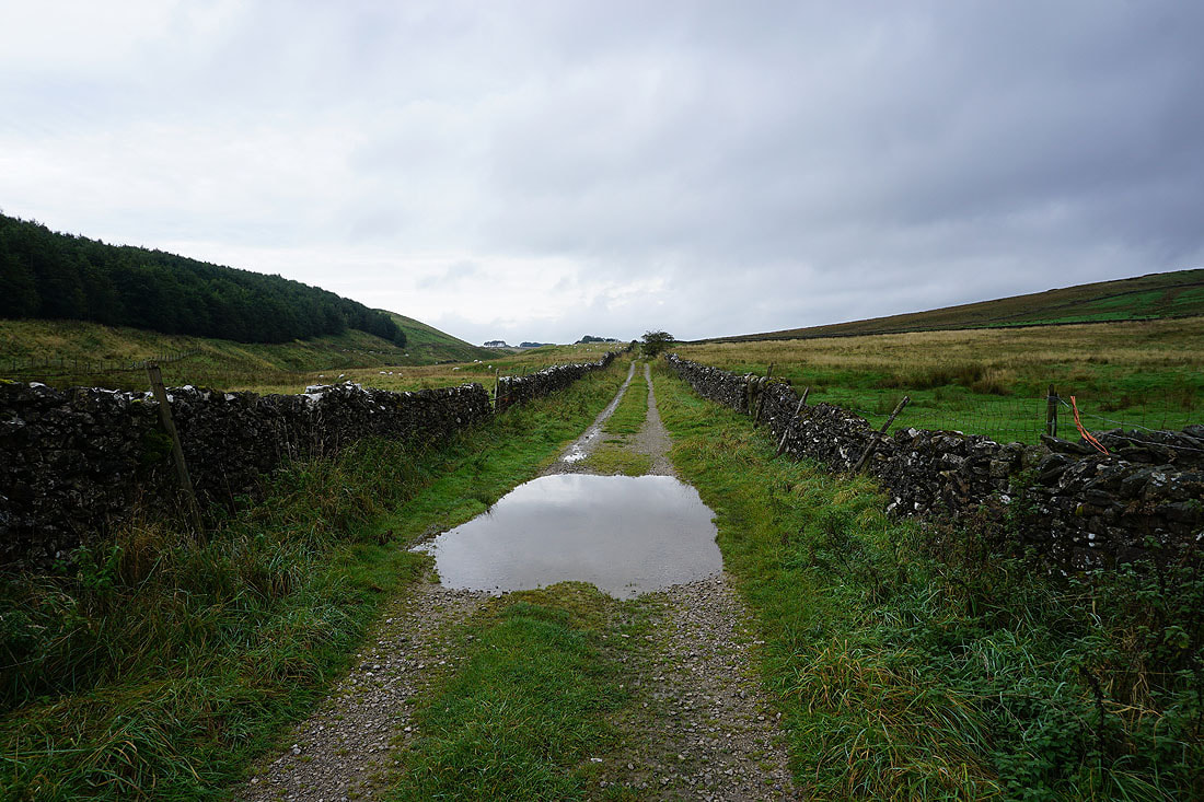
On Moor Lane to Linton Moor
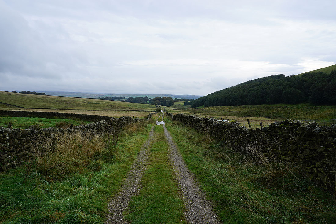
Looking back down Moor Lane
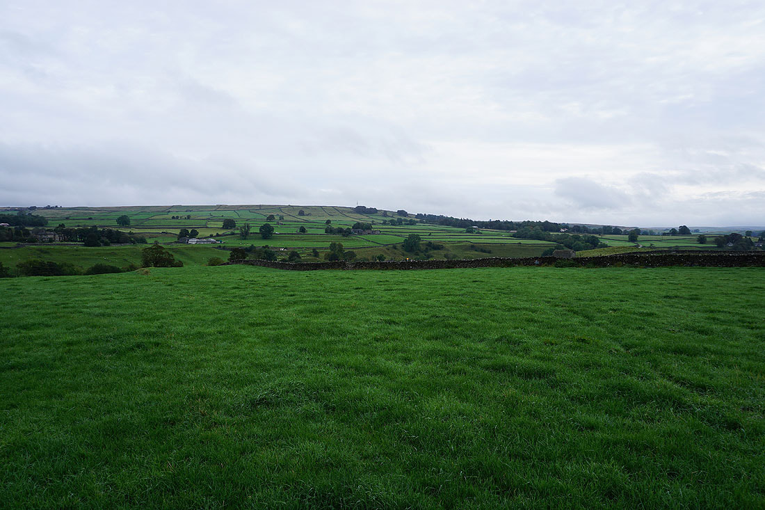
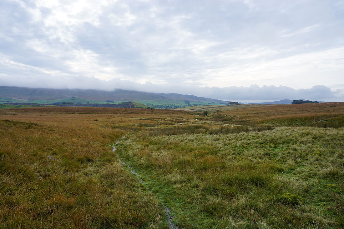
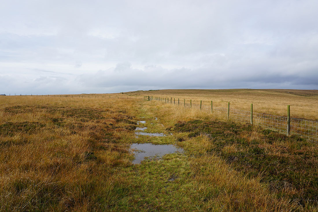
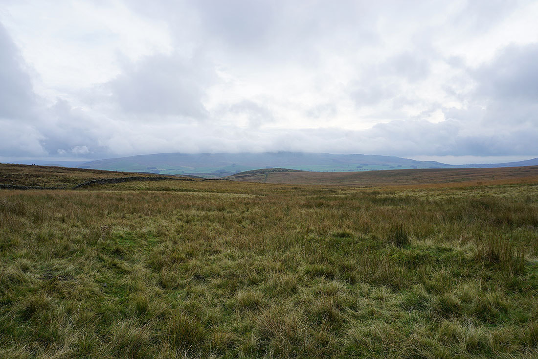
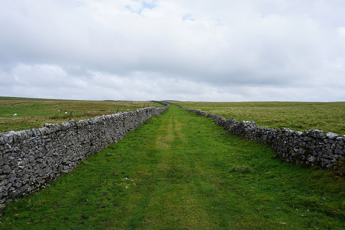
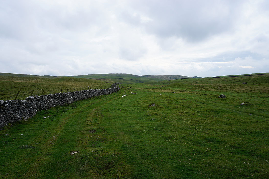
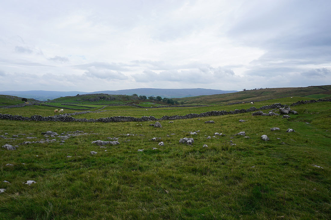
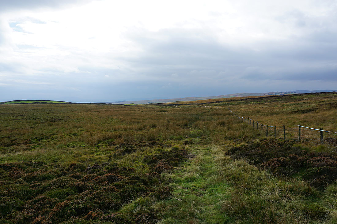
Following the bridleway across Linton Moor
Then north to Hamerton Hill
Cloud still covering the top of Cracoe Fell when I look back
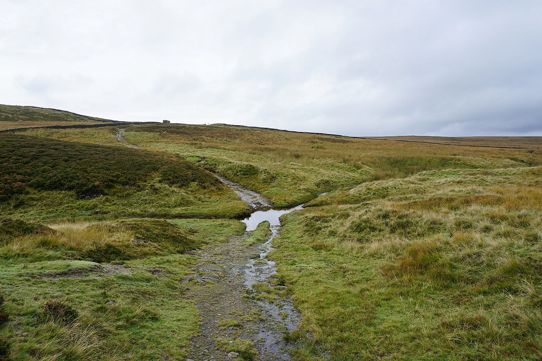
Across the ford on Hamerton Hill Syke
A bit of sunshine brightens up the moors. Dolmire Hill and Backstone Edge from the bridleway up onto Boss Moor.
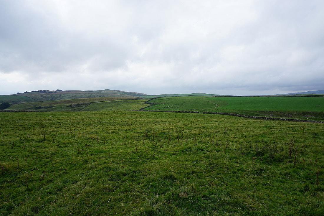
Threshfield Moor to the north
Heading up onto Boss Moor
Hamerton Hill and Cracoe Fell
On the bridleway across Boss Moor
Cracoe Fell, Rough Haw and Sharp Haw
Looking back to Dolmire Hill and Backstone Edge
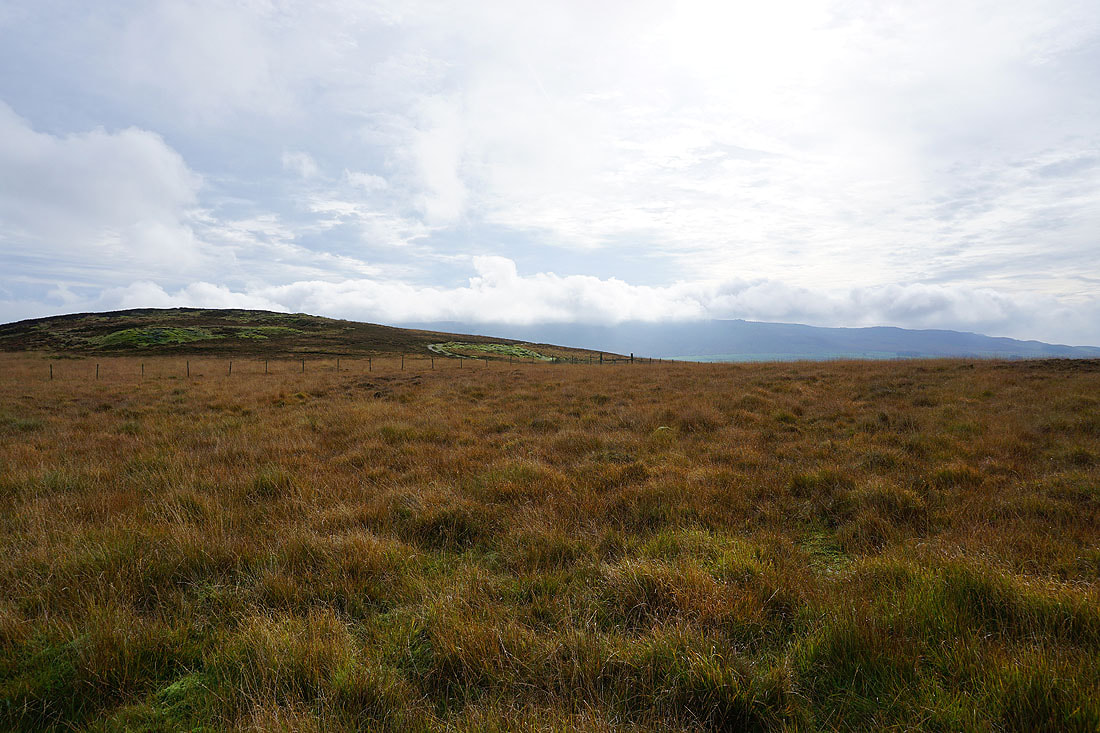
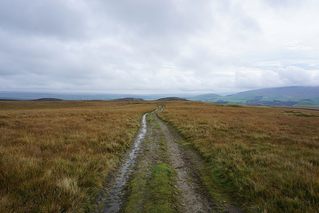
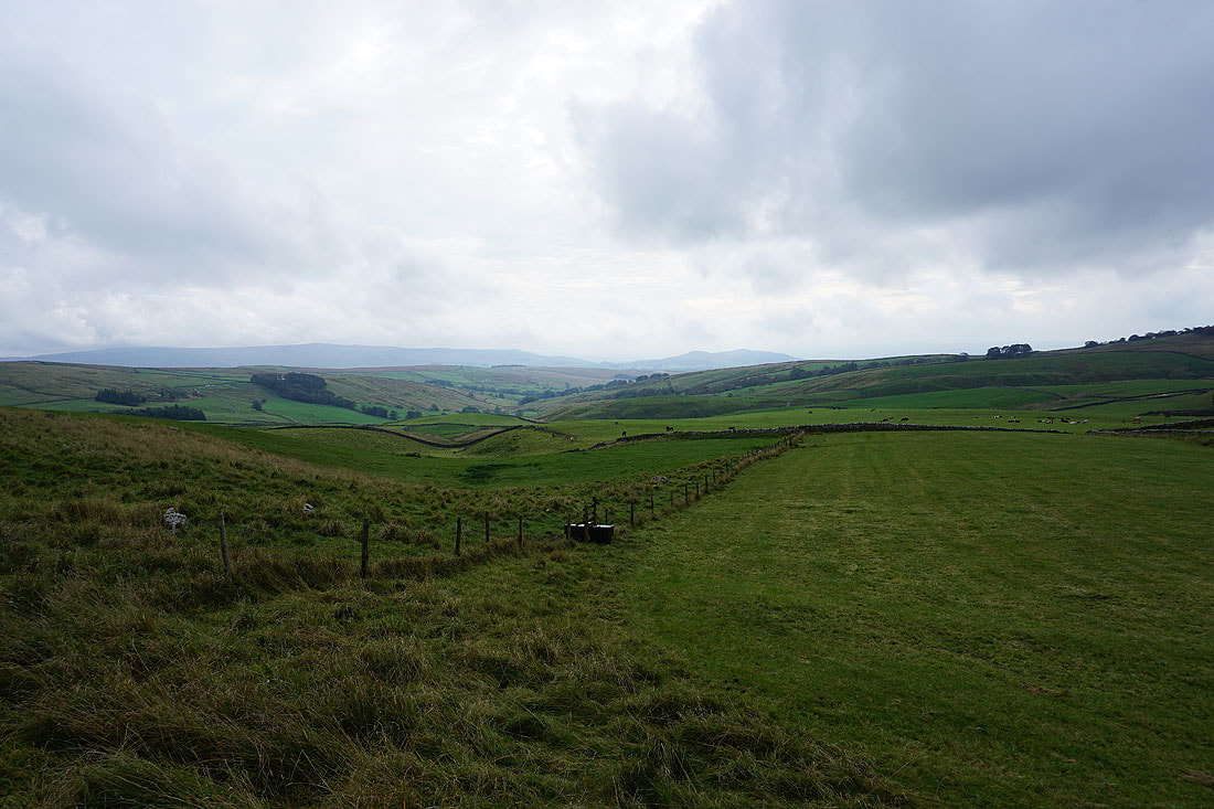
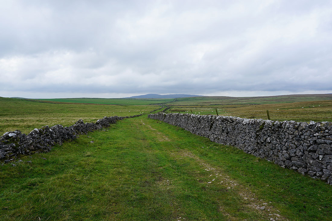
On the bridleway from Boss Moor to Threshfield Moor
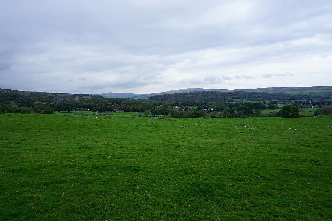
Looking across the valley of Hetton Common Beck to Hetton Common Head and Weets Top
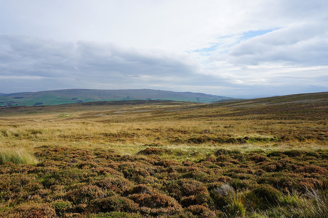
and back across Boss Moor
Cracoe Fell from Threshfield Moor
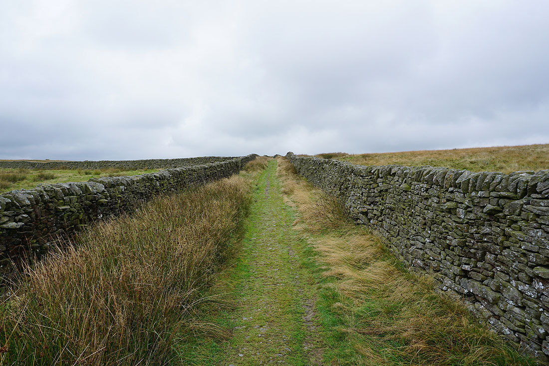
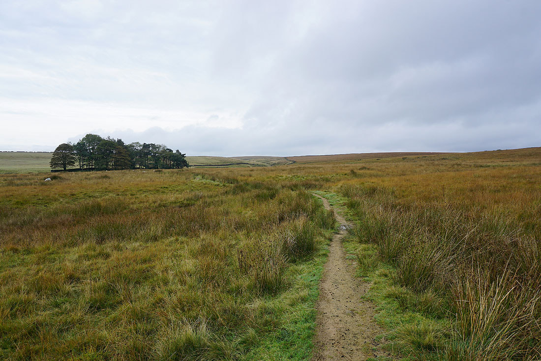
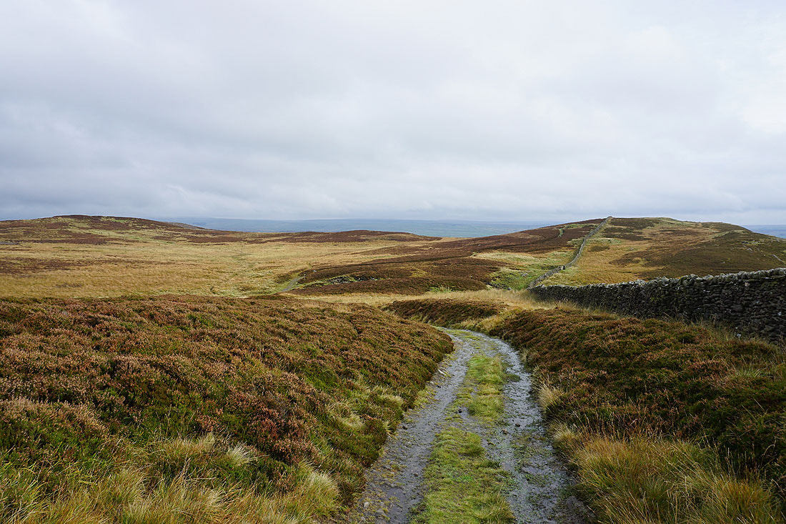
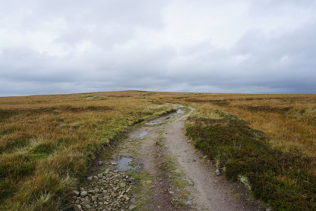
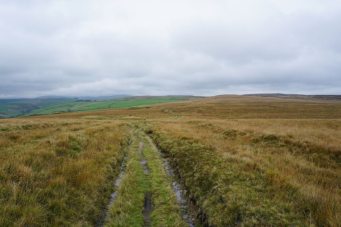
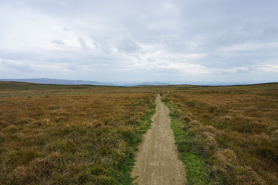
Another bridleway to follow, on Threshfield Moor
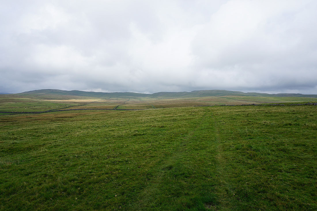
Rough Haw, Sharp Haw and Winterburn Reservoir in the distance
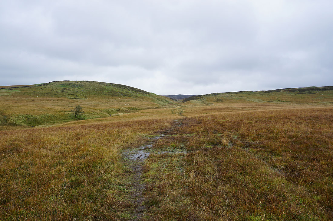
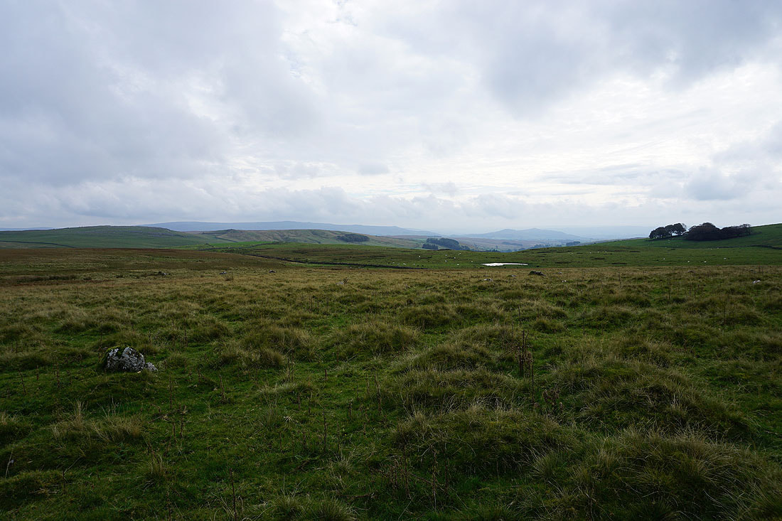
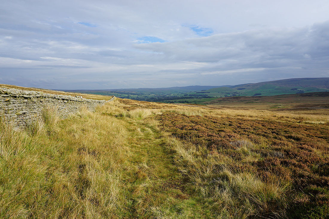
The bridleway was left for a footpath down into the valley of Bordley Beck
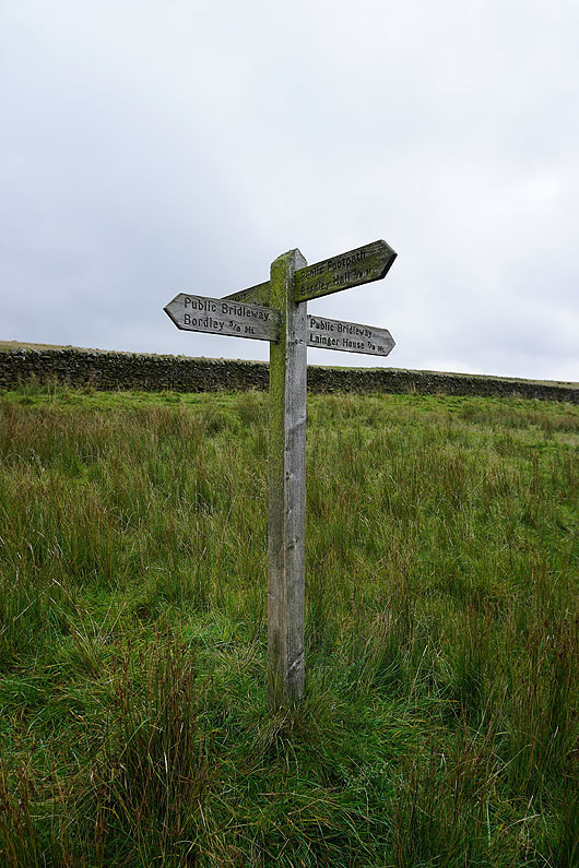
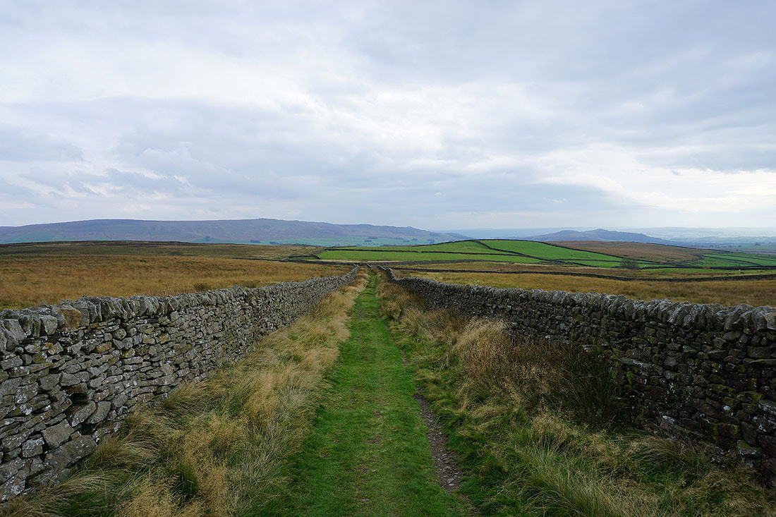
Onto the bridleway to Bordley
Following the bridleway north to the hamlet of Bordley..
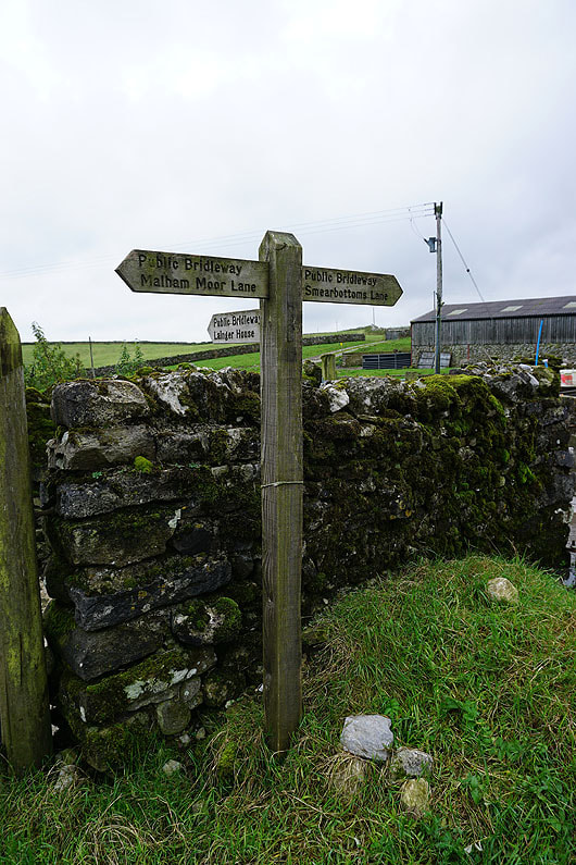
In Bordley and I take the bridleway to Smearbottoms Lane
Looking back down on Bordley
Cracoe Fell, Sharp Haw and the valley of Bordley Beck
Weets Top in the distance
The bridleway to Smearbottoms Lane has been left for a footpath north to Mastiles Lane
Heading east along Mastiles Lane
and looking back to the west with Kirkby Fell in the distance
Cracoe Fell and Sharp Haw in the distance behind Threshfield Moor
Kilnsey Moor and Holgates Kilnsey Moor ahead
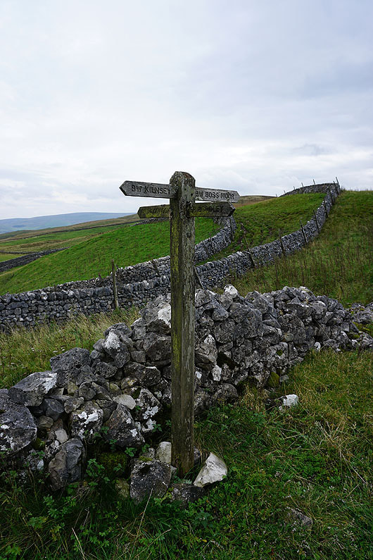
I left Mastiles Lane at Mastiles Gate for the bridleway to Malham Moor Lane
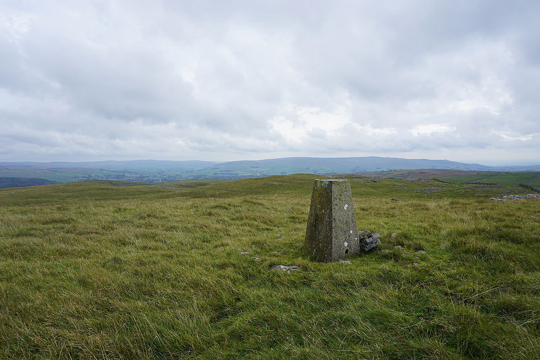
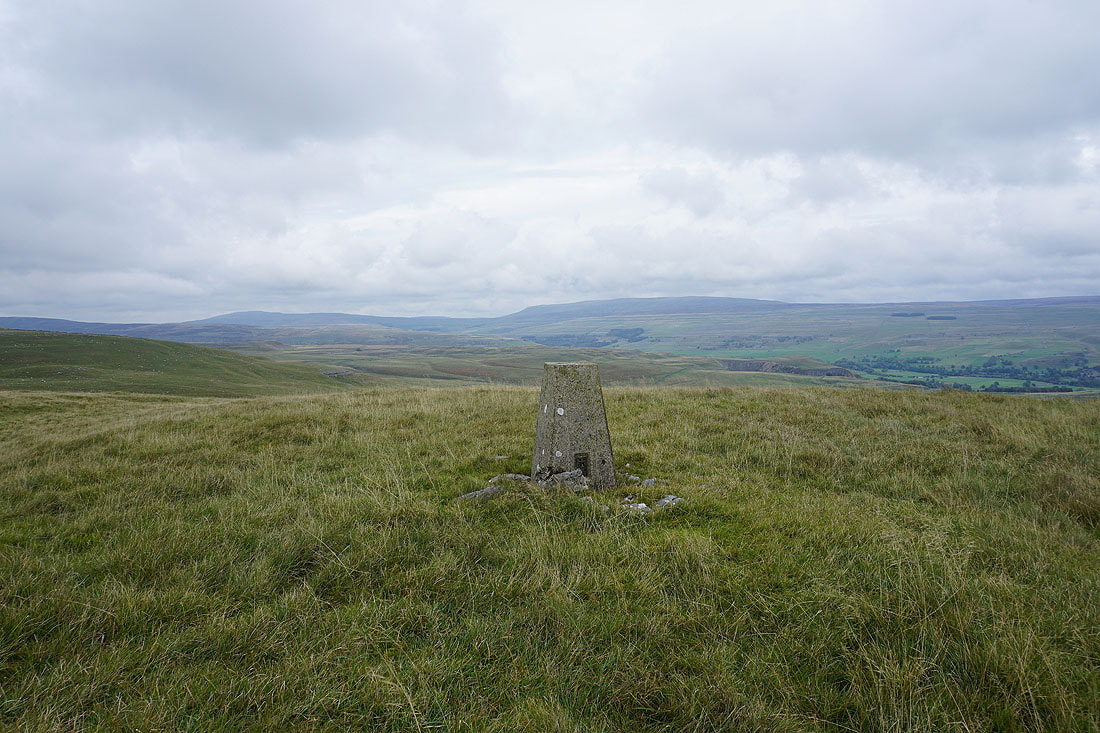
At the trig point on Holgates Kilnsey Moor after a climb up access land from the end of Malham Moor Lane. Barden Fell, Wharfedale and Barden Moor.
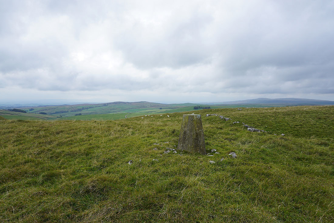
Hetton Common Head, Weets Top and Knowe Fell in the distance
Looking across Wharfedale to Conistone Moor and Grassington Moor
Buckden Pike and Great Whernside
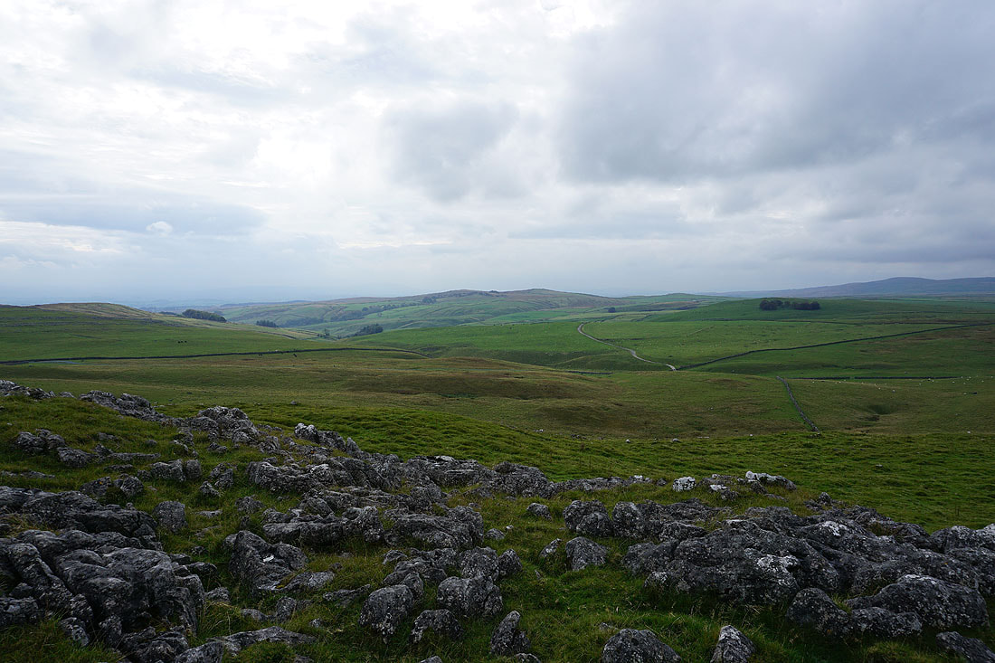
A bit of exposed limestone provides a foreground for the view to Hetton Common Head and Weets Top
Looking back to the summit as I head down to Malham Moor Lane
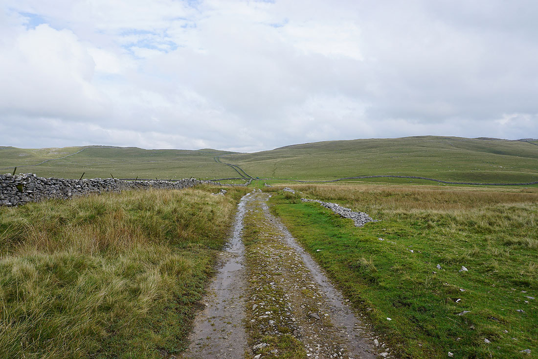
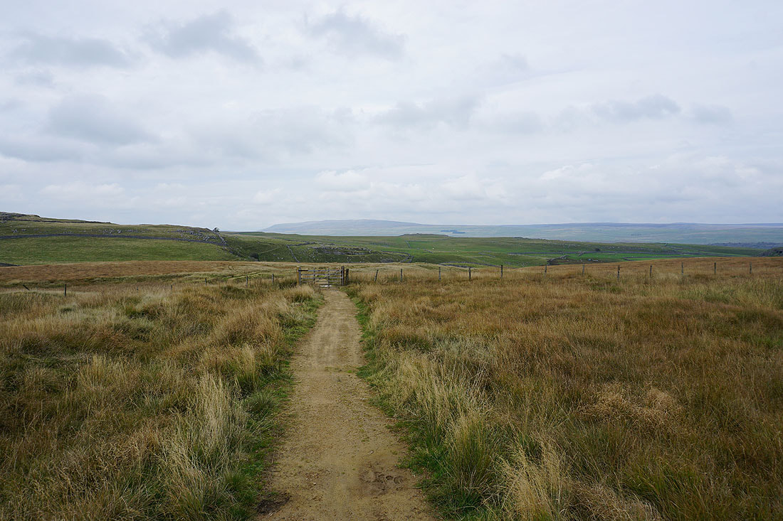
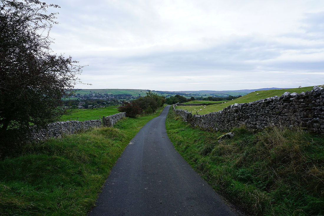
Heading down Malham Moor Lane
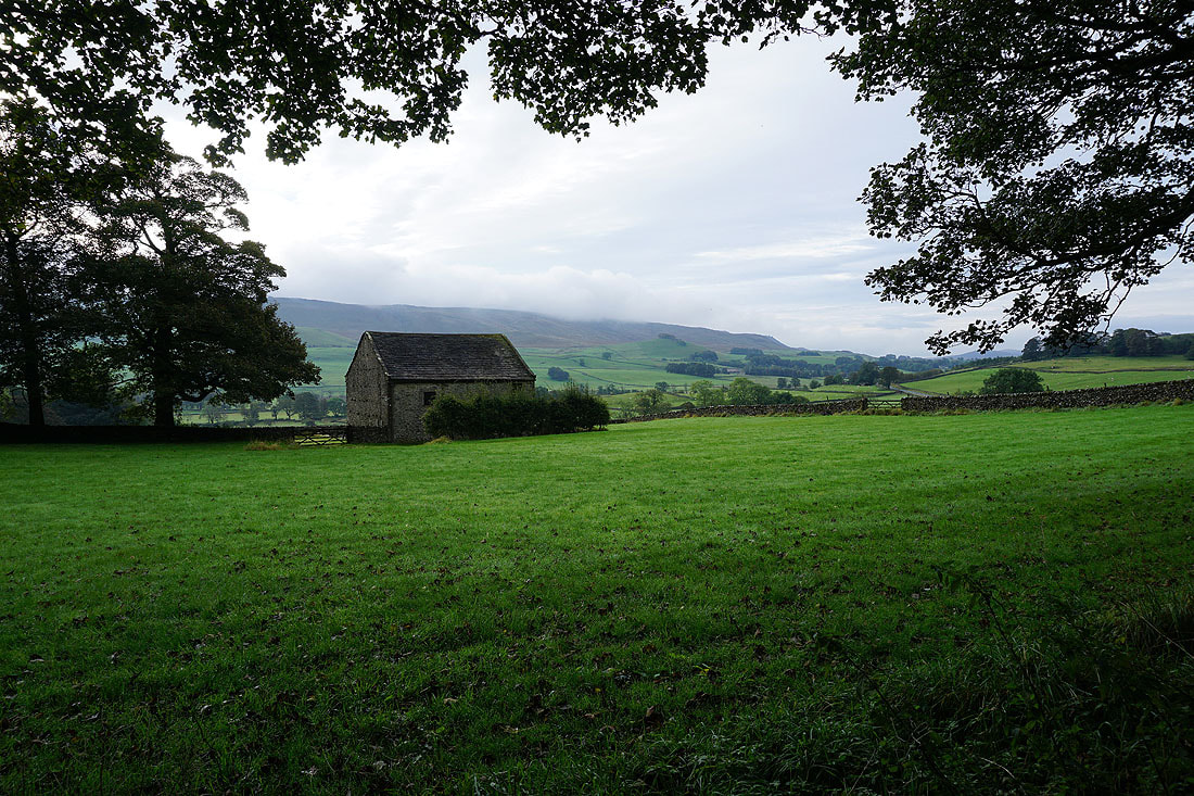
Cracoe Fell in the distance from the bridleway past Height Laithe
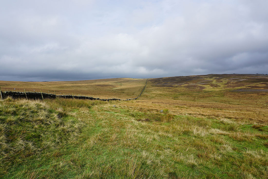
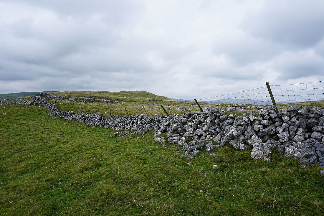
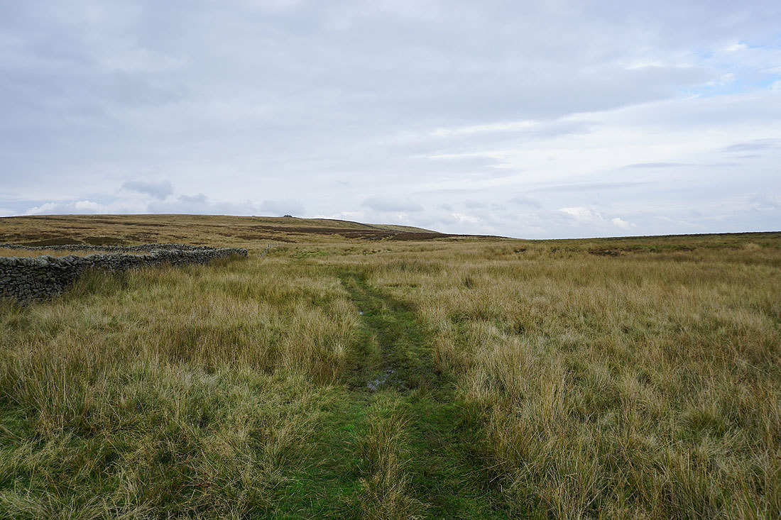
At this path junction I take the bridleway to Boss Moor
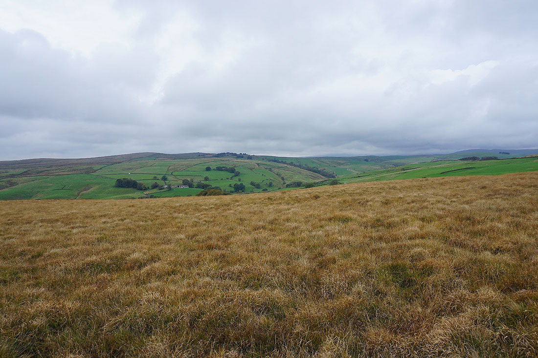
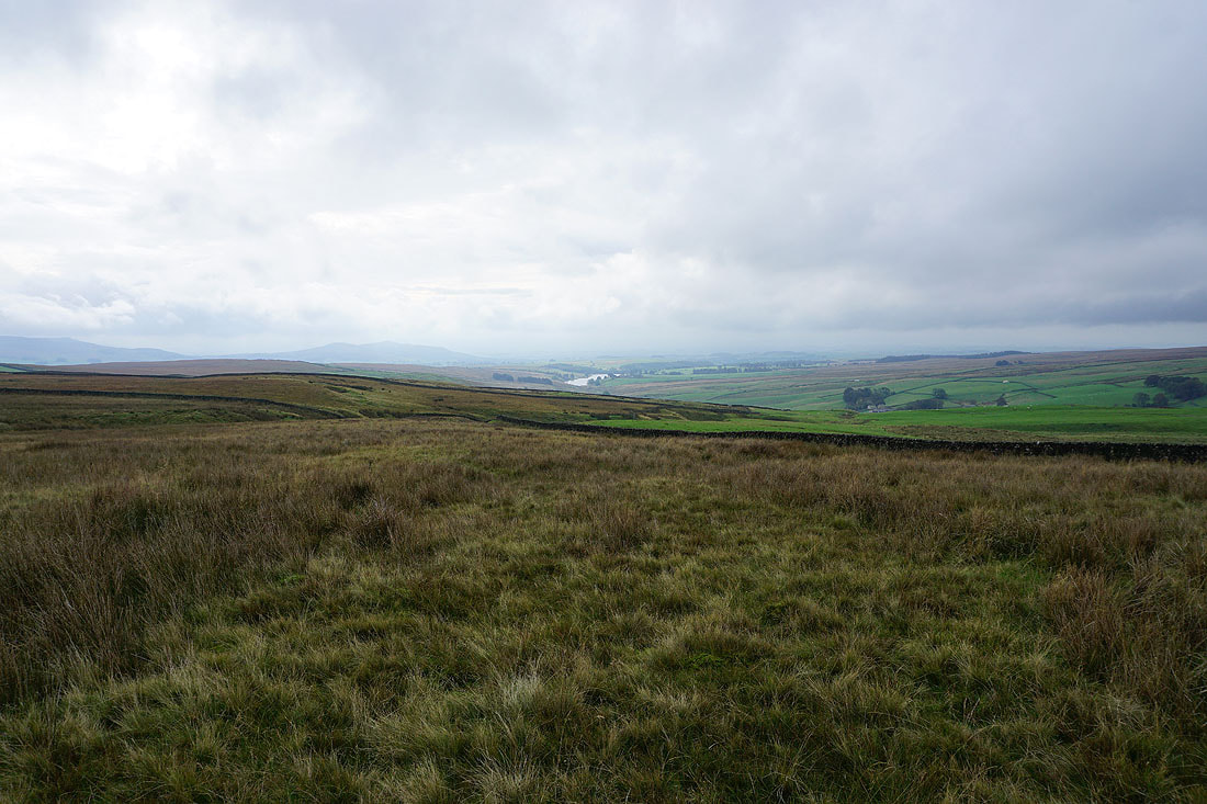
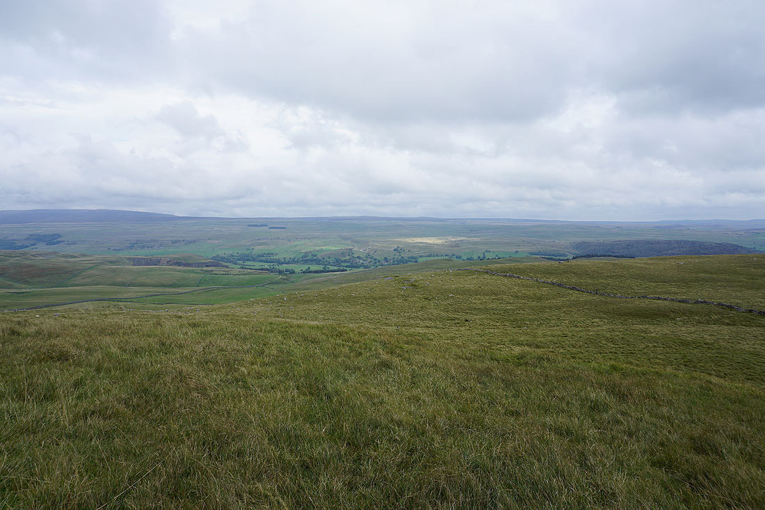
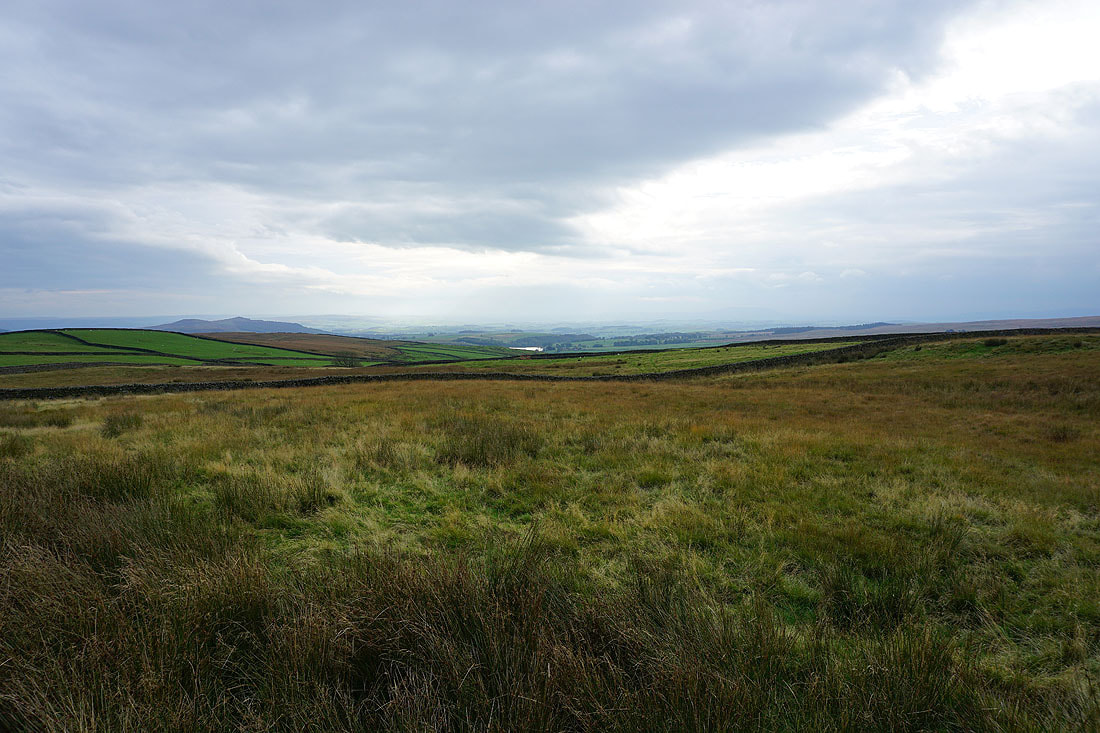
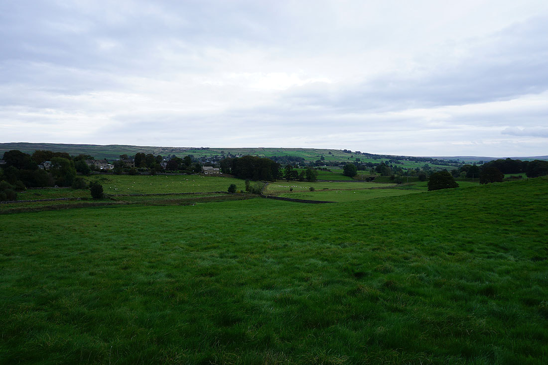
The view across Wharfedale as I look back from the bridleway to Boss Moor..
Cracoe Fell and Sharp Haw as I follow the bridleway south..
Sharp Haw and a bit of Winterburn Reservoir, and I can sort of make out Pendle Hill in the distance on the right
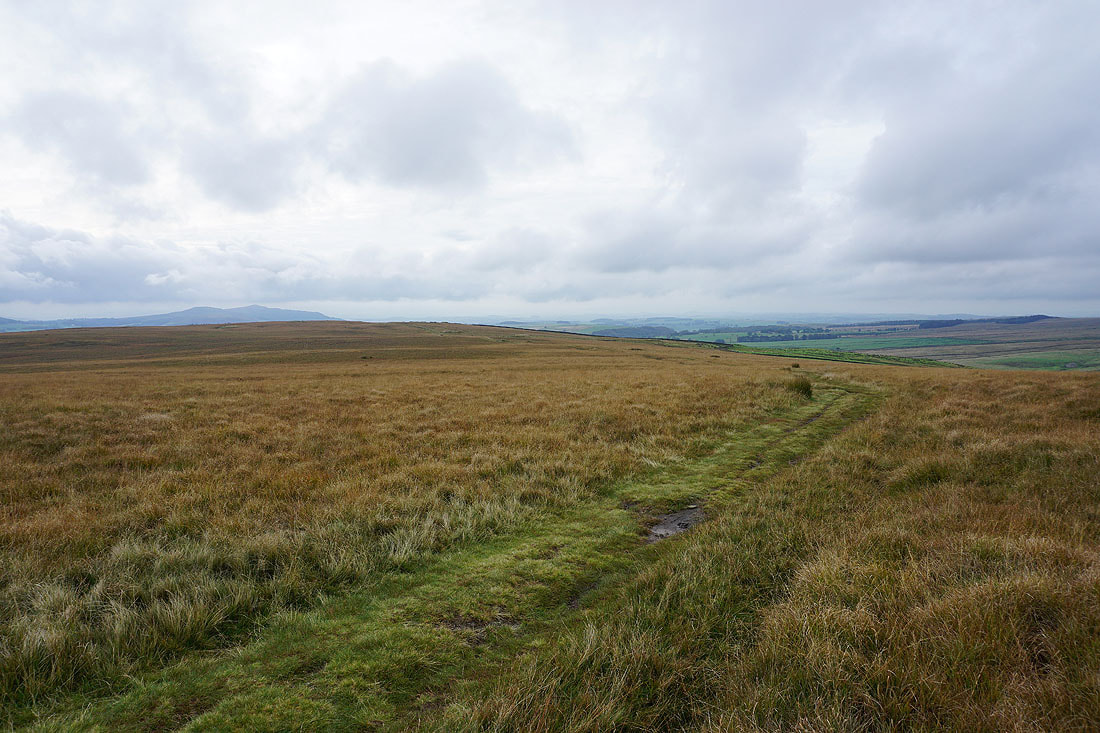
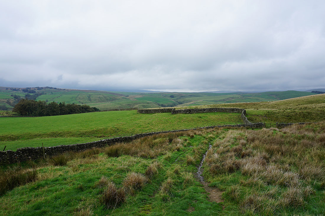
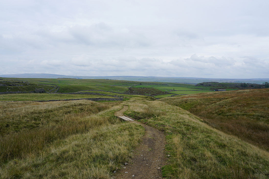
On Threshfield Moor I leave the bridleway to Boss Moor for this footpath that heads east towards Threshfield
There are some dark skies behind me but for now it's bright where I am
The sun even comes out and brightens up the moors..
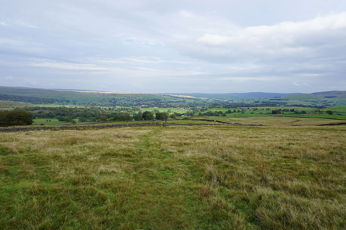
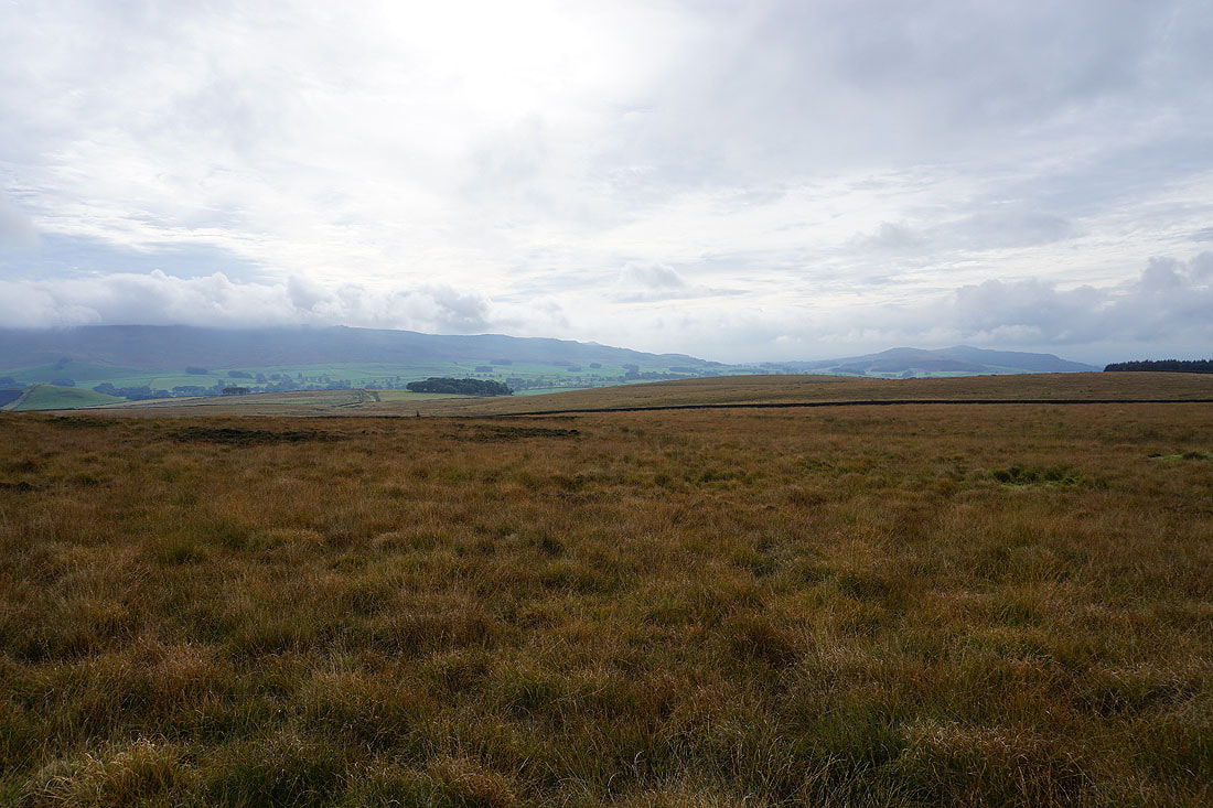
Grassington, Threshfield and Wharfedale as I head down off Threshfield Moor
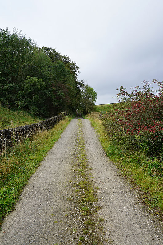
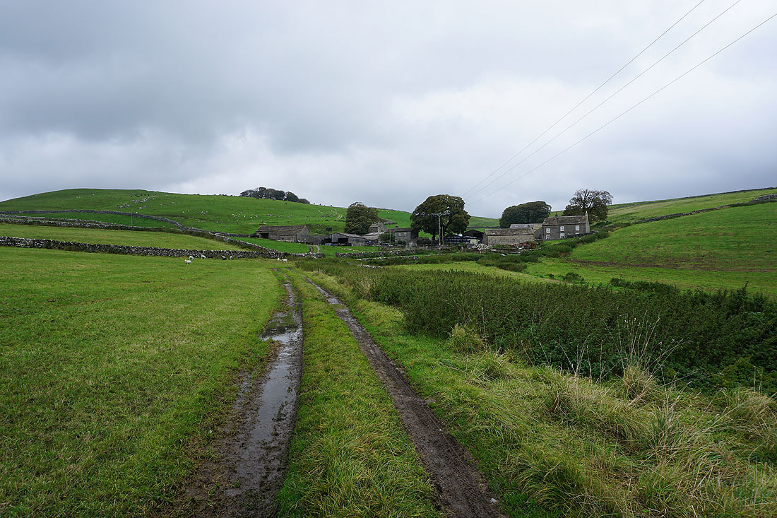
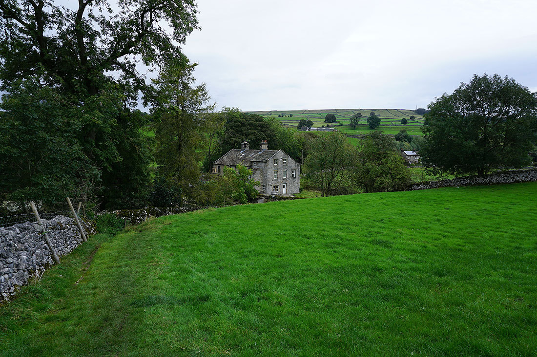
On the track past Lane House to Skirethorns
Buckden Pike and Great Whernside in the distance behind Grass Wood..
..as I head down Moor Lane to Tarns Lane
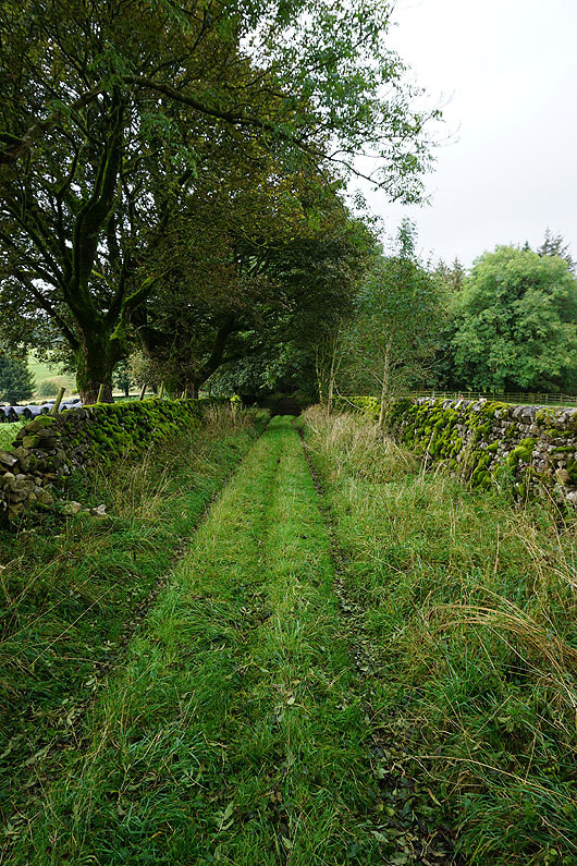
Crossing fields to Linton
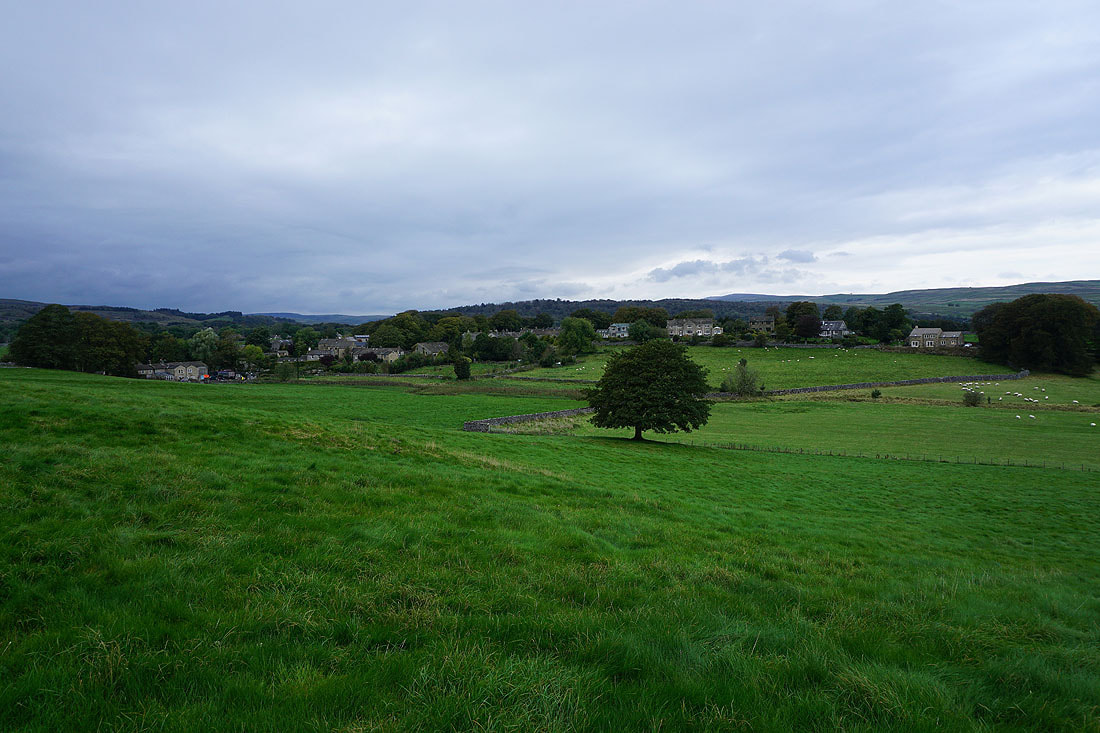
With the village of Threshfield to my left, under darkening skies
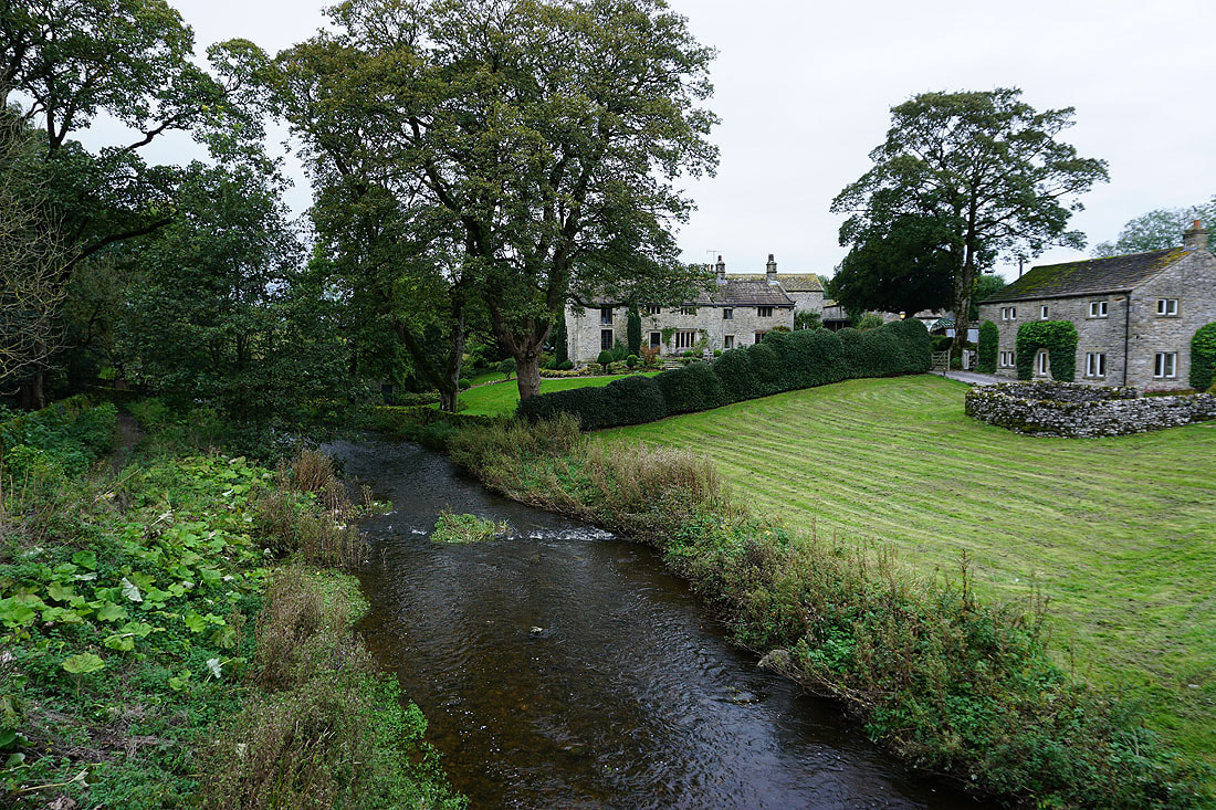
Linton Beck in Linton
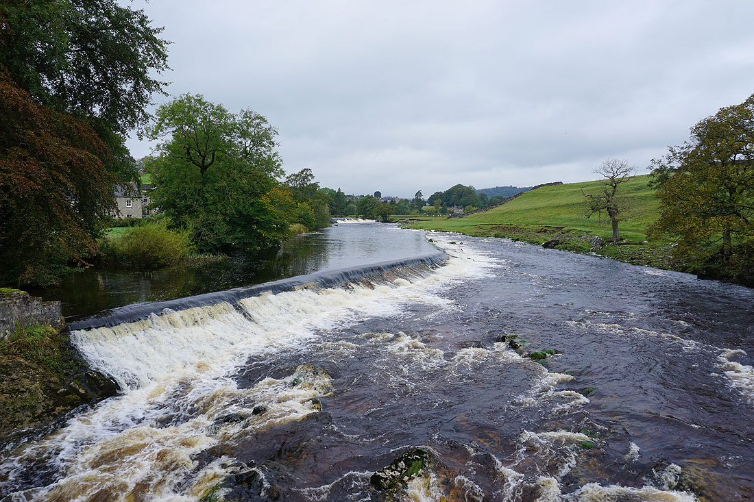
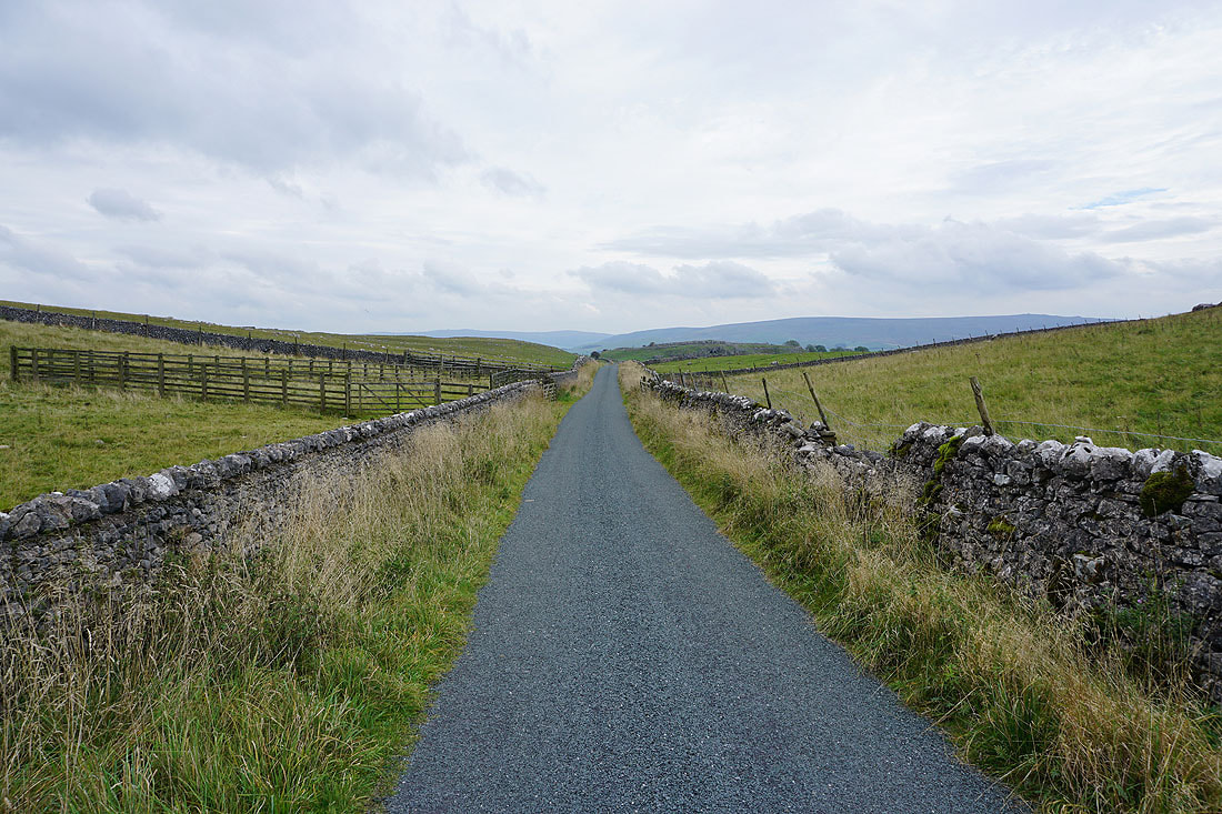
From Linton it was a short walk back down to the cottages by the River Wharfe and the car park