5th September 2021 - Grassington Moor and Conistone Moor
Walk Details
Distance walked: 15.4 miles
Total ascent: 1970 ft
OS map used: OL2 - Yorkshire Dales, Southern & Western areas
Time taken: 7.5 hrs
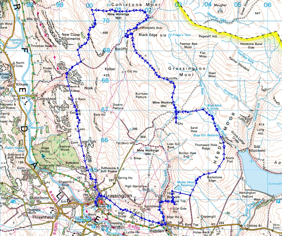
Route description: Grassington-High Lane-Hebden-High Green-Scale Haw Force-Scar Top House-Mossy Moor-Backstone Edge Lane-Hebden Moor-Blea Beck-Grassington Moor Lead Mines-Grassington Moor-Mossdale-Conistone Moor-Capplestone Gate-Conistone Turf Road-Bycliffe Road-Dales Way-Grassington
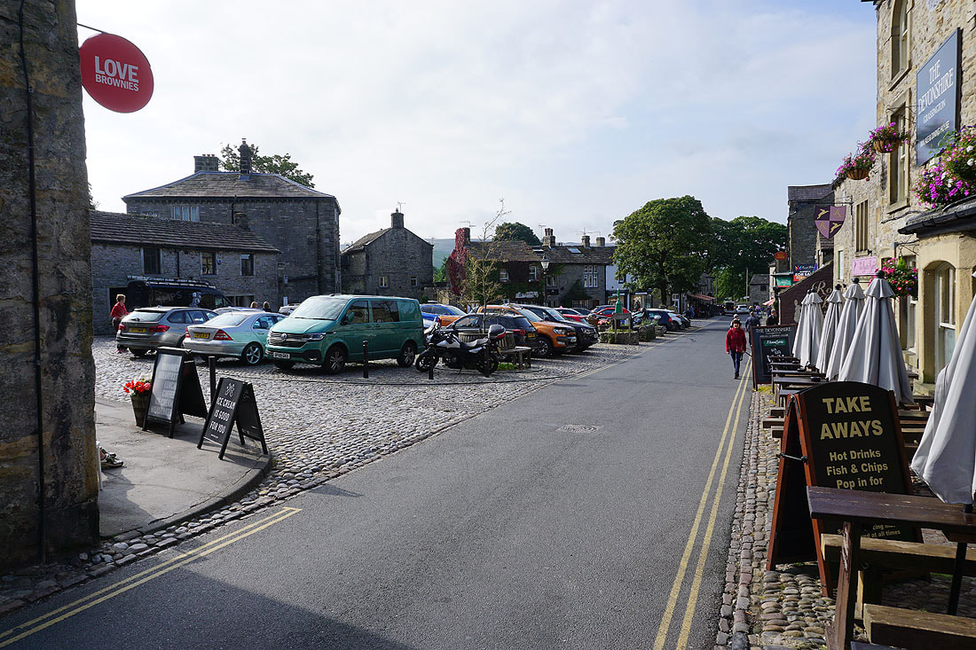
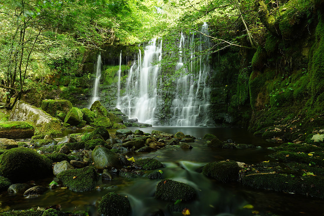
My walk this weekend took me to Grassington and the familiar territory of the moors above it on the eastern side of Wharfedale. Despite me having done many different routes across these moors during the past several years I was still able to come up with one that used footpaths and bridleways that I hadn't been on before. Taking the track of Backstone Edge Lane up onto Hebden Moor was new, and it gave me the opportunity to explore this moor, visit Blea Gill, and the easternmost of the ruins of the Grassington Lead Mines. Since I passing through the village of Hebden I made sure that I took the chance to take in the waterfall of Scale Haw Force, so I decided to bring my tripod with me in anticipation of taking some long exposure photos. I think it was worth the effort, I managed to take some pretty good ones. It was a beautiful early autumn day for spending it on the moors with lots of warm sunshine and a gentle breeze.
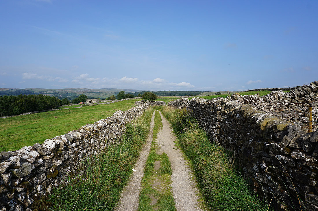
From the car park in Grassington I walked up to the top of Main Street and right onto Low Lane. I soon reached the track of High Lane on the left, which I took and followed east across the hillside to its end and onto a footpath across fields and down to Hebden. After walking past the Clarendon Hotel I took the lane on the left and walked up this towards Hole Bottom, but left it for a footpath on the right down to Hebden Beck. Just upstream of where the path crosses the beck is the waterfall of Scale Haw Force, which I stopped at to set up my camera and take some photos. After packing up I resumed my walk by taking the footpath up to Scar Top House, and then north across Mossy Moor to Mossy Moor Reservoir. I left the footpath here and made my way east across access land to reach the track of Backstone Edge Lane, and a bridleway which took me north onto Hebden Moor, where I stopped for lunch. After this break I carried on heading north along the bridleway to its end at a gate by Blea Beck, which I went through, and took a path by Blea Beck up to the lowest of the Blea Beck Dams. I then followed a track west to the ruins of the Grassington Lead Mines, and then another north up onto Grassington Moor, below Black Edge and down to Mossdale, where I turned right and took a track east past Mossdale Scar to a footbridge over Mossdale Beck. I didn't cross the bridge but took a track uphill and then a path west across Conistone Moor to its western edge and the trig point at Capplestone Gate. After a last stop of the day I took the Conistone Turf Road footpath down to the track of Bycliffe Road, which I followed down to the Dales Way, and then this trail took me south all the way back to Grassington.
Total ascent: 1970 ft
OS map used: OL2 - Yorkshire Dales, Southern & Western areas
Time taken: 7.5 hrs
Route description: Grassington-High Lane-Hebden-High Green-Scale Haw Force-Scar Top House-Mossy Moor-Backstone Edge Lane-Hebden Moor-Blea Beck-Grassington Moor Lead Mines-Grassington Moor-Mossdale-Conistone Moor-Capplestone Gate-Conistone Turf Road-Bycliffe Road-Dales Way-Grassington
My walk this weekend took me to Grassington and the familiar territory of the moors above it on the eastern side of Wharfedale. Despite me having done many different routes across these moors during the past several years I was still able to come up with one that used footpaths and bridleways that I hadn't been on before. Taking the track of Backstone Edge Lane up onto Hebden Moor was new, and it gave me the opportunity to explore this moor, visit Blea Gill, and the easternmost of the ruins of the Grassington Lead Mines. Since I passing through the village of Hebden I made sure that I took the chance to take in the waterfall of Scale Haw Force, so I decided to bring my tripod with me in anticipation of taking some long exposure photos. I think it was worth the effort, I managed to take some pretty good ones. It was a beautiful early autumn day for spending it on the moors with lots of warm sunshine and a gentle breeze.
From the car park in Grassington I walked up to the top of Main Street and right onto Low Lane. I soon reached the track of High Lane on the left, which I took and followed east across the hillside to its end and onto a footpath across fields and down to Hebden. After walking past the Clarendon Hotel I took the lane on the left and walked up this towards Hole Bottom, but left it for a footpath on the right down to Hebden Beck. Just upstream of where the path crosses the beck is the waterfall of Scale Haw Force, which I stopped at to set up my camera and take some photos. After packing up I resumed my walk by taking the footpath up to Scar Top House, and then north across Mossy Moor to Mossy Moor Reservoir. I left the footpath here and made my way east across access land to reach the track of Backstone Edge Lane, and a bridleway which took me north onto Hebden Moor, where I stopped for lunch. After this break I carried on heading north along the bridleway to its end at a gate by Blea Beck, which I went through, and took a path by Blea Beck up to the lowest of the Blea Beck Dams. I then followed a track west to the ruins of the Grassington Lead Mines, and then another north up onto Grassington Moor, below Black Edge and down to Mossdale, where I turned right and took a track east past Mossdale Scar to a footbridge over Mossdale Beck. I didn't cross the bridge but took a track uphill and then a path west across Conistone Moor to its western edge and the trig point at Capplestone Gate. After a last stop of the day I took the Conistone Turf Road footpath down to the track of Bycliffe Road, which I followed down to the Dales Way, and then this trail took me south all the way back to Grassington.
Route map
© Crown copyright. All rights reserved. License number PU 100034184.
Grassington on a fine autumn morning
Leaving Grassington behind on the track of High Lane
Looking back along High Lane
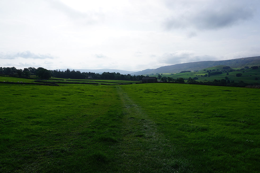
The track ends and I take a footpath across fields towards Hebden
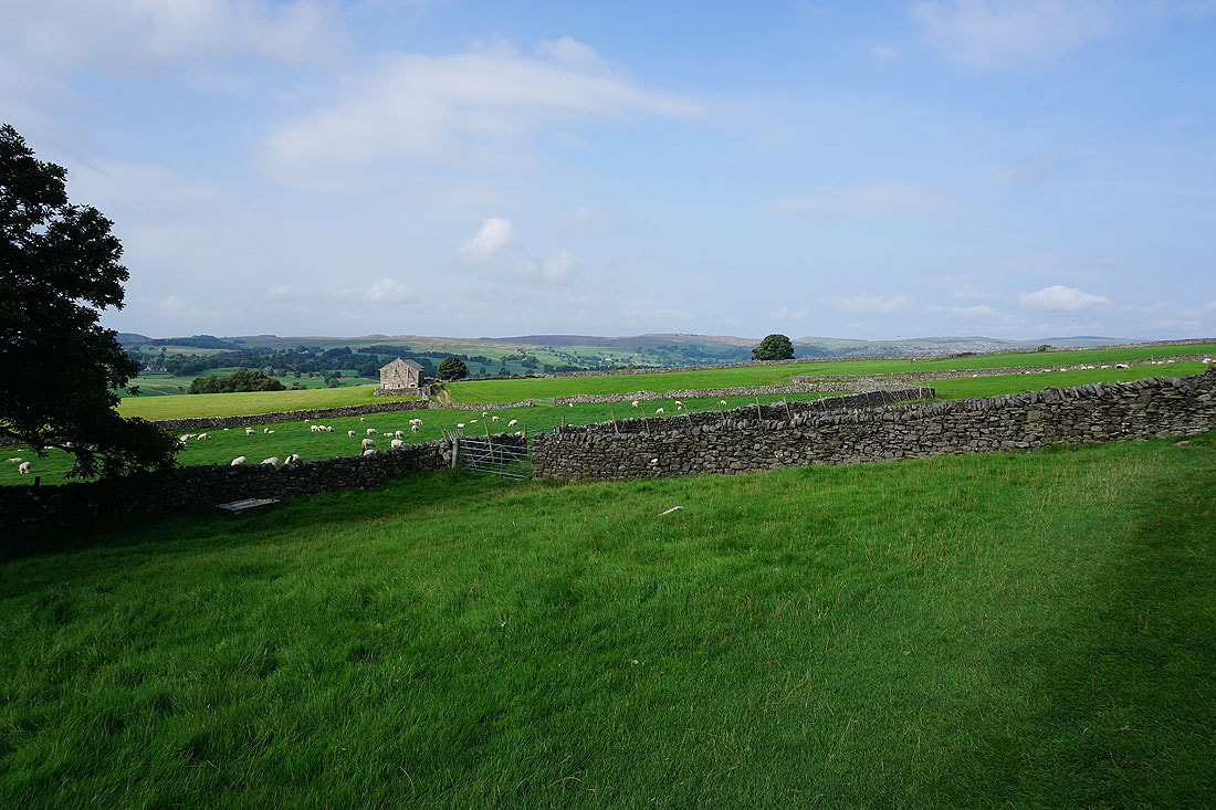
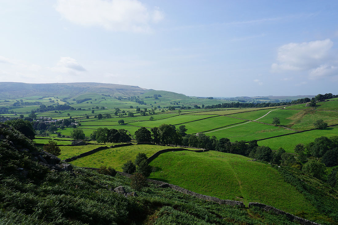
Looking across Wharfedale to Threshfield Moor
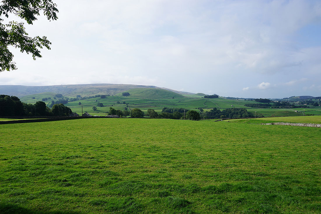
and to Burnsall Fell
Approaching Hebden and Simon's Seat appears in the distance
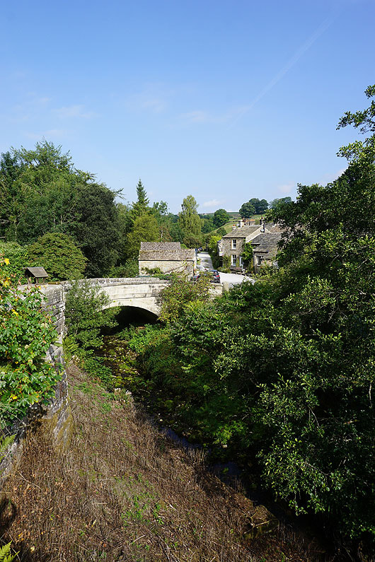
The bridge carrying Brook Street over Hebden Beck in Hebden
|
Walking up the lane of High Green
|
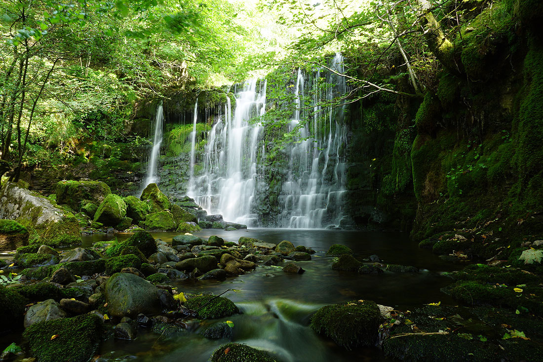
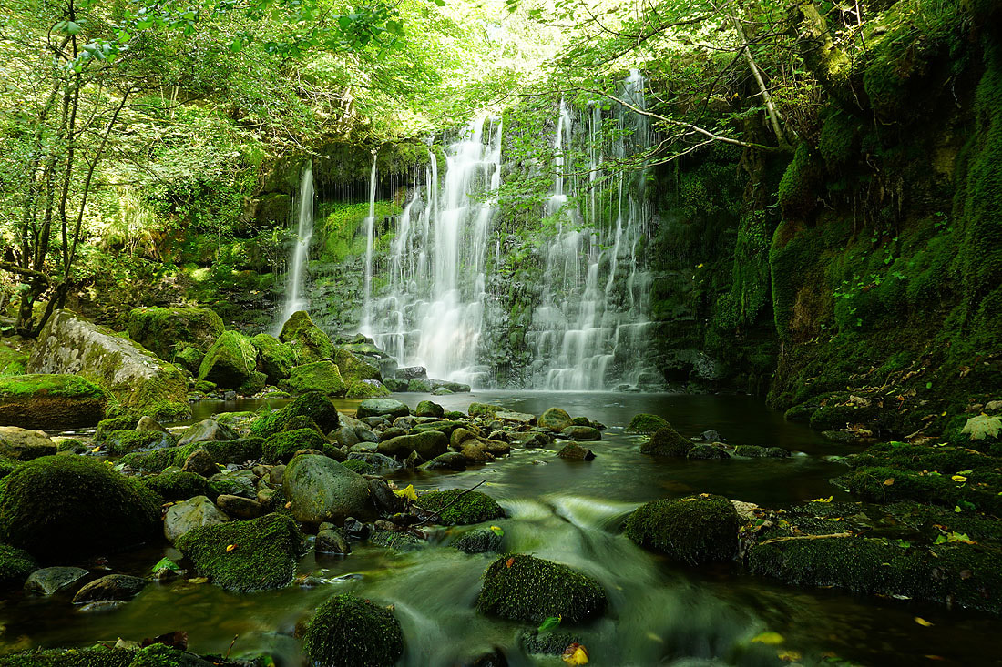
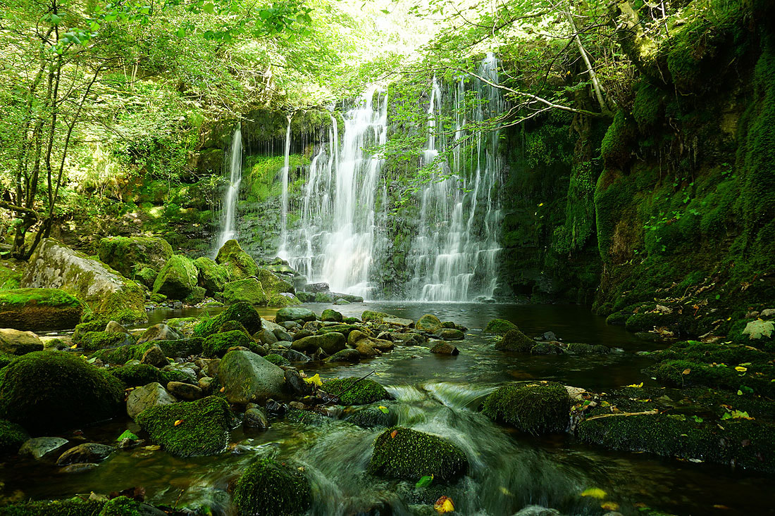
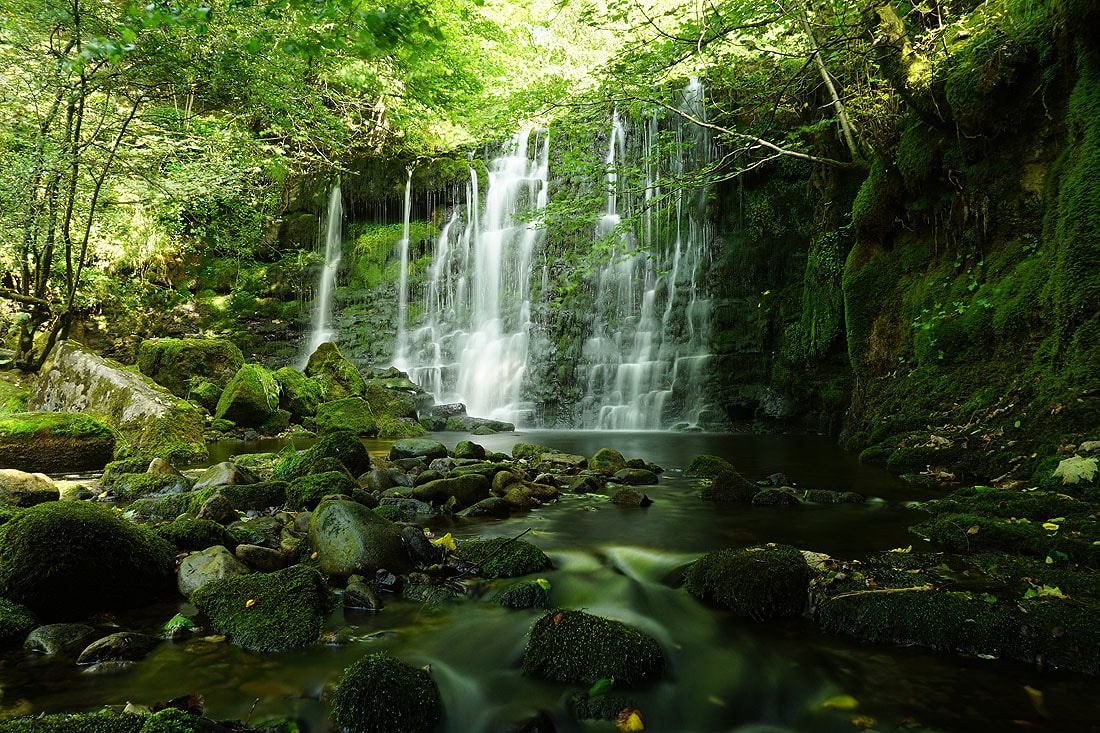
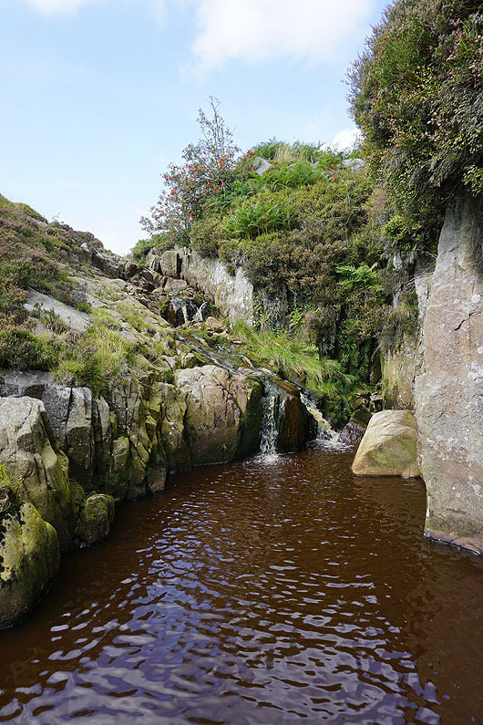
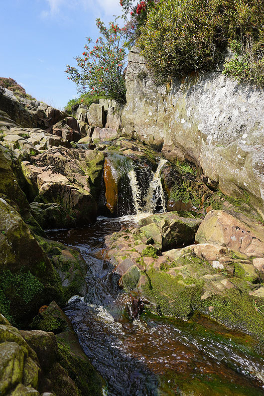
I left the lane for a footpath down to and across Hebden Beck, where after negotiating a bit of an obstacle course caused by a fallen tree I reach the foot of the waterfall of Scale Haw Force. I set up my camera on a tripod, attach a ND filter and take several photos with different exposures.....
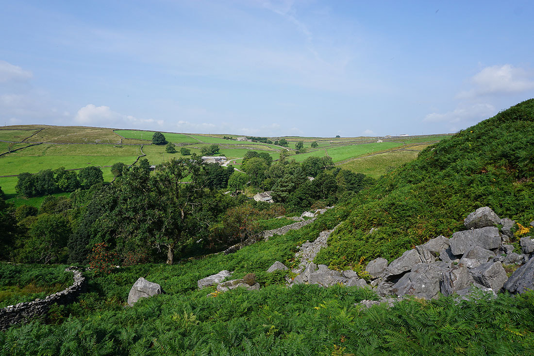
Looking across the valley of Hebden Beck to Hole Bottom as I take the footpath up to Scar Top House
and across Wharfedale to Burnsall Fell
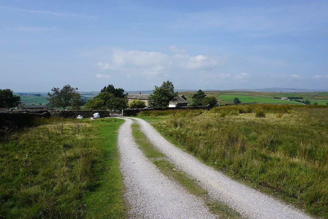
At Scar Top House
On the path north across Mossy Moor..
Passing Mossy Moor Reservoir
Colourful Mossy Moor
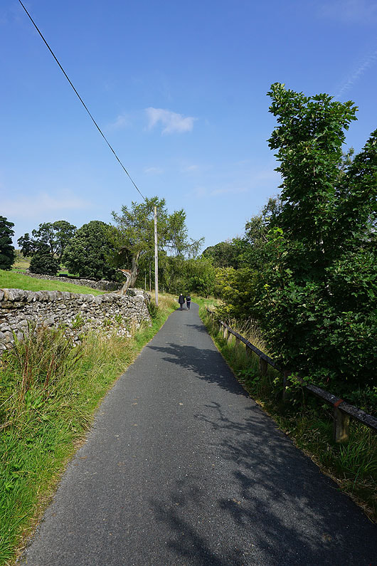
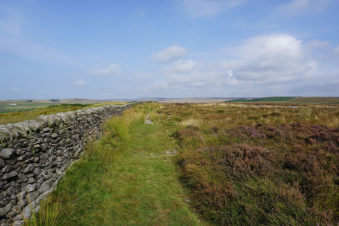
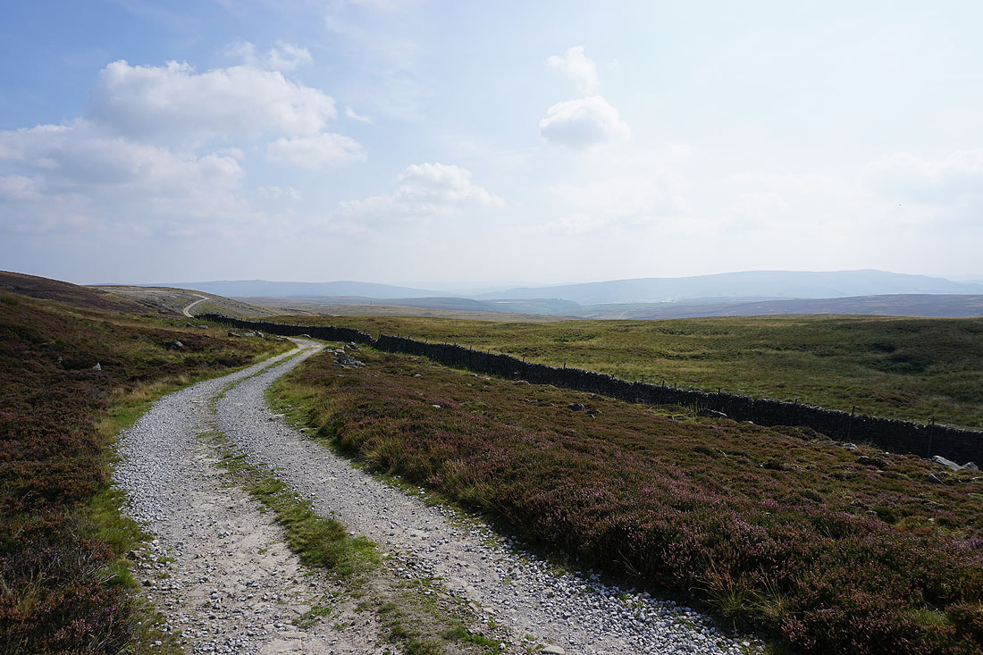
I leave Mossy Moor and head north along the bridleway on the track of Backstone Edge Lane
Looking back to Mossy Moor
and across Wharfedale as I follow the bridleway north to Hebden Moor
Simon's Seat from Hebden Moor
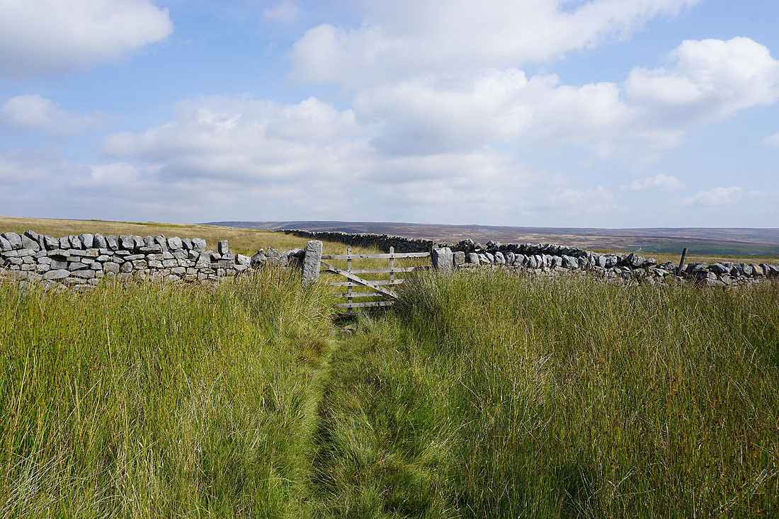
The bridleway passes through this gate as it heads for Blea Gill
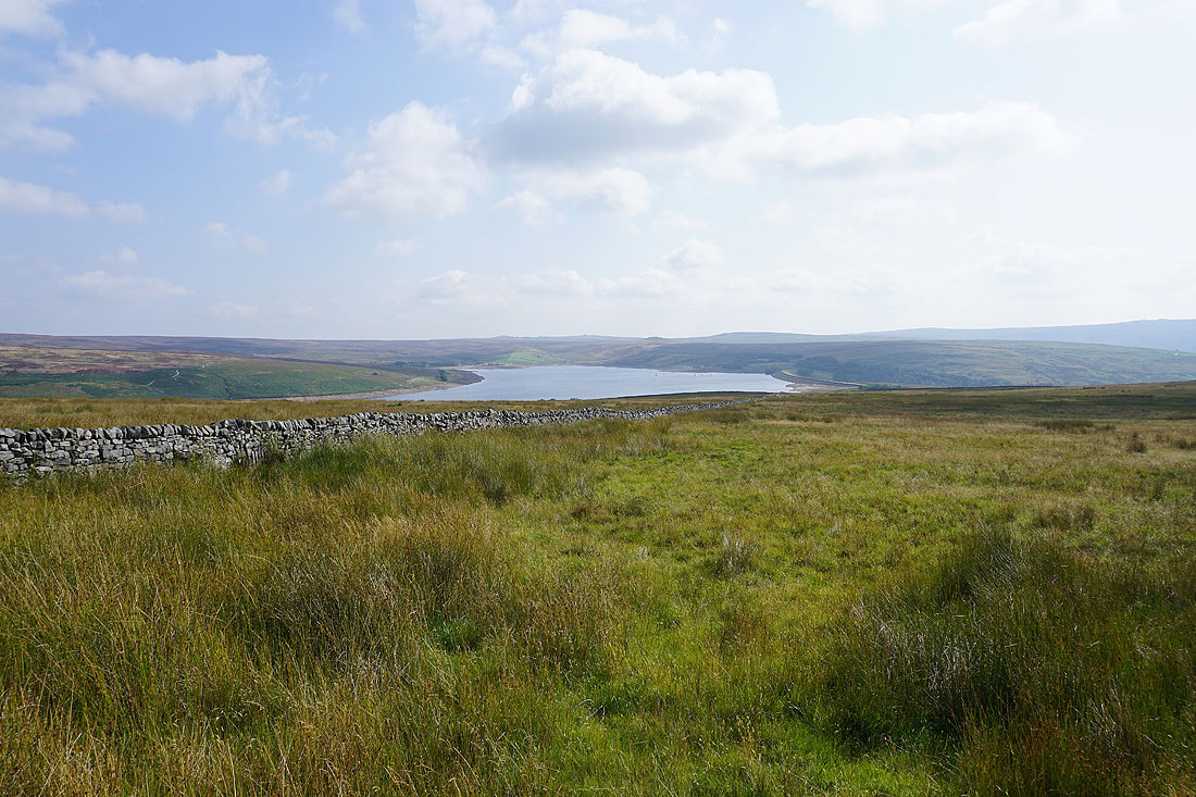
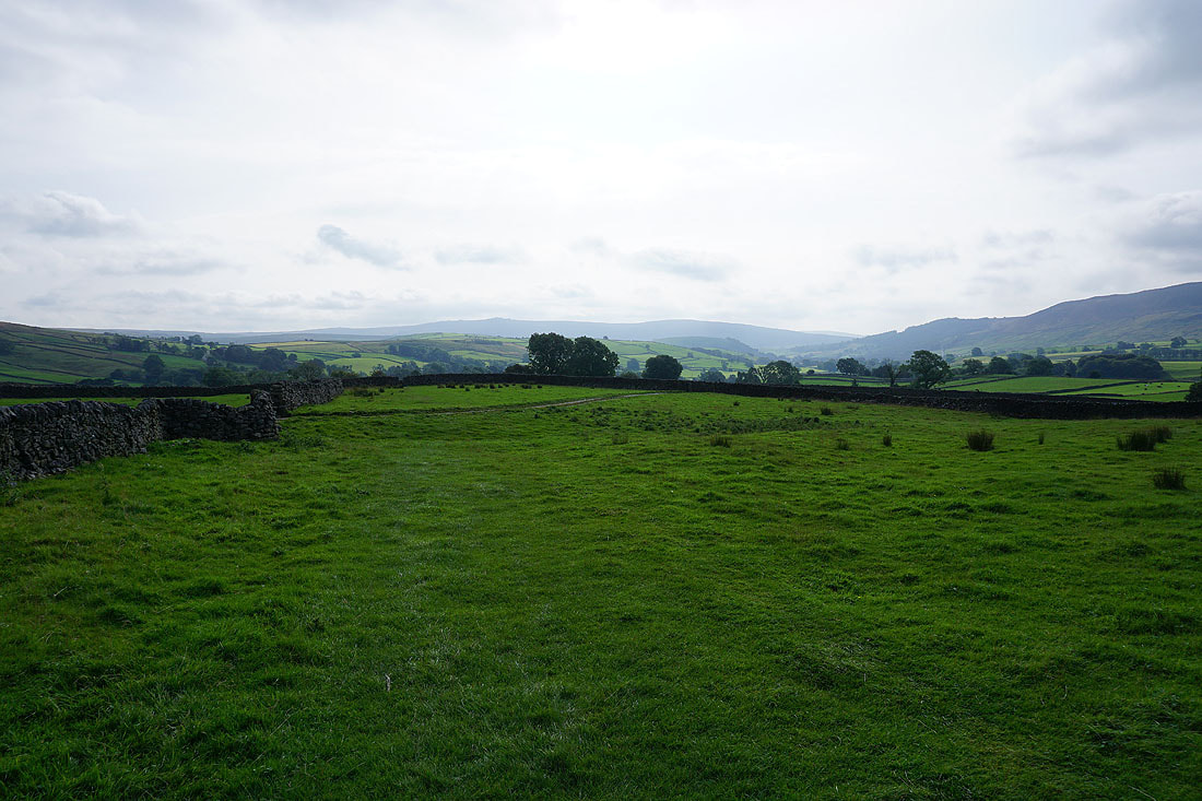
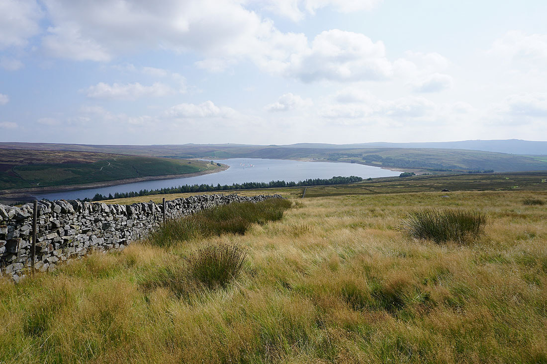
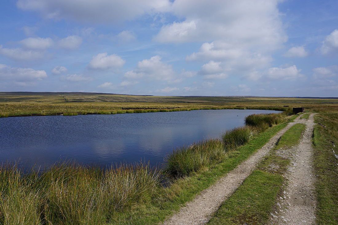
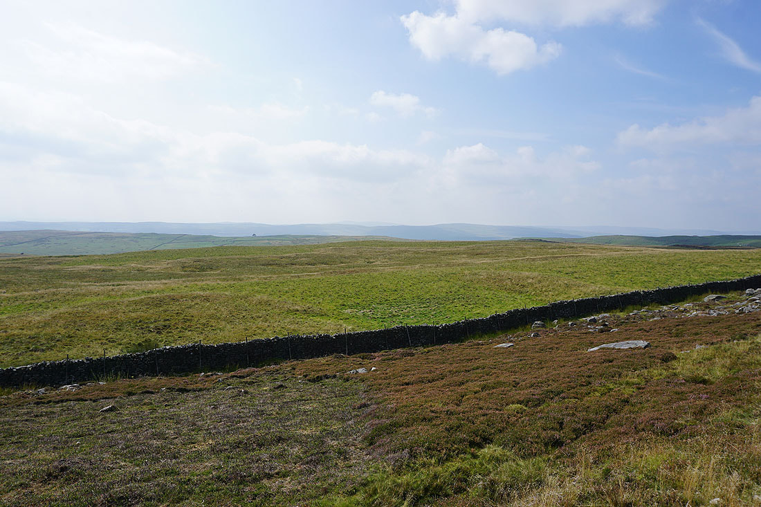
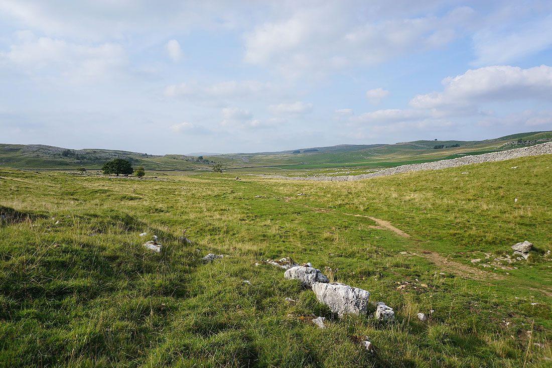
There's a good view of Grimwith Reservoir and its surrounding moors from up here..
A rash of boulders provide a convenient place for me to stop and have lunch. From here I have a view across to Appletreewick Moor on the other side of Gate Up Gill..
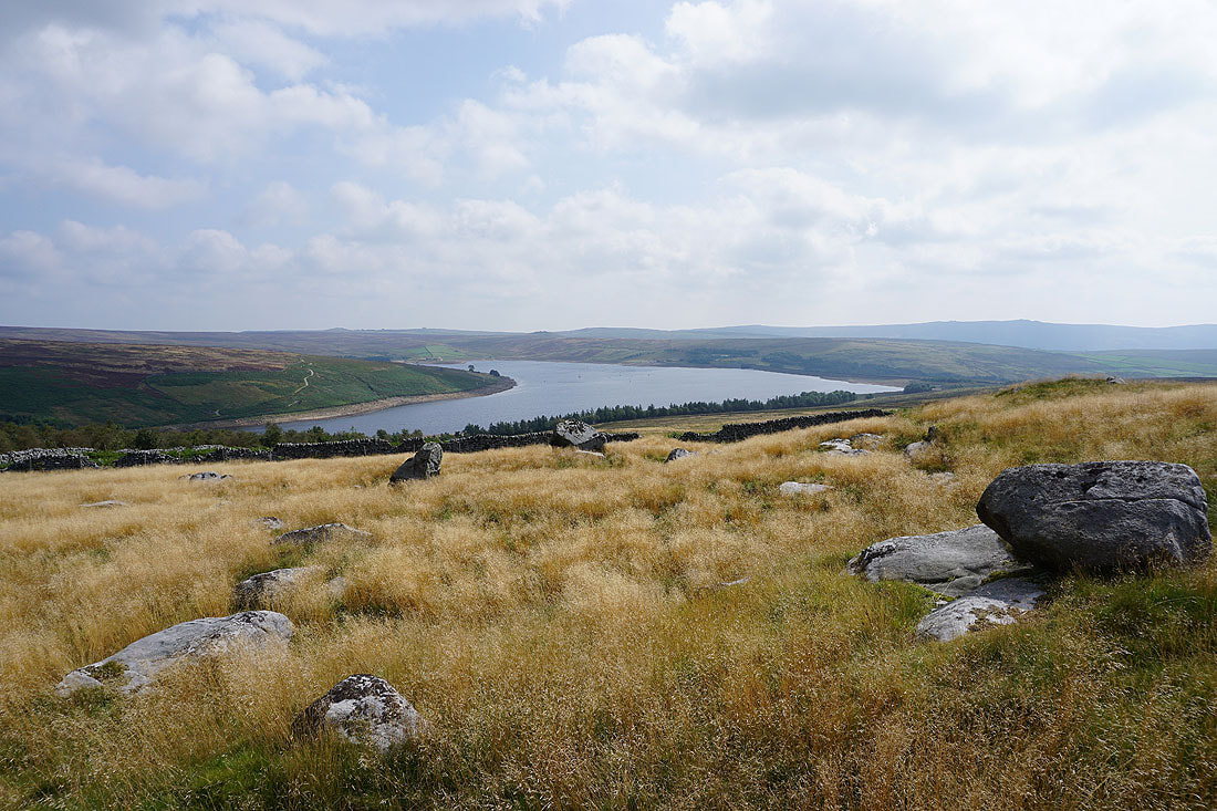
..and of Grimwith Moor, Grimwith Reservoir and Grimwith Fell
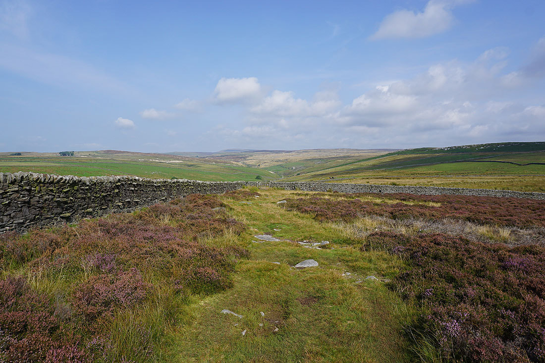
Lunch had, I resume following the bridleway north towards Blea Beck
|
|
A couple of small waterfalls at the top of Blea Gill..
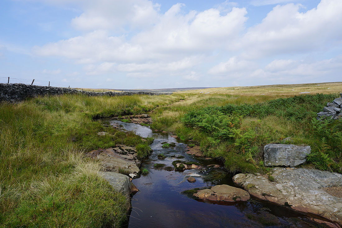
Blea Beck before it heads down into Blea Gill
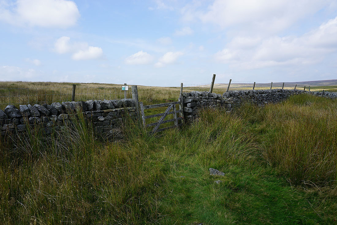
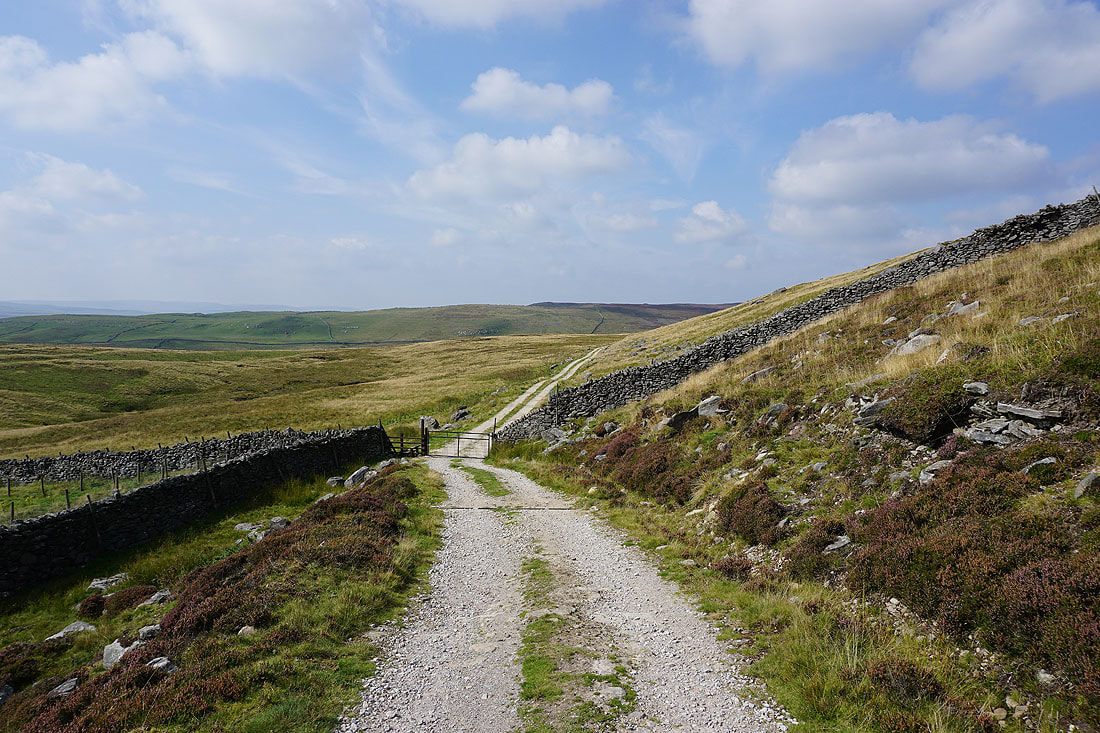
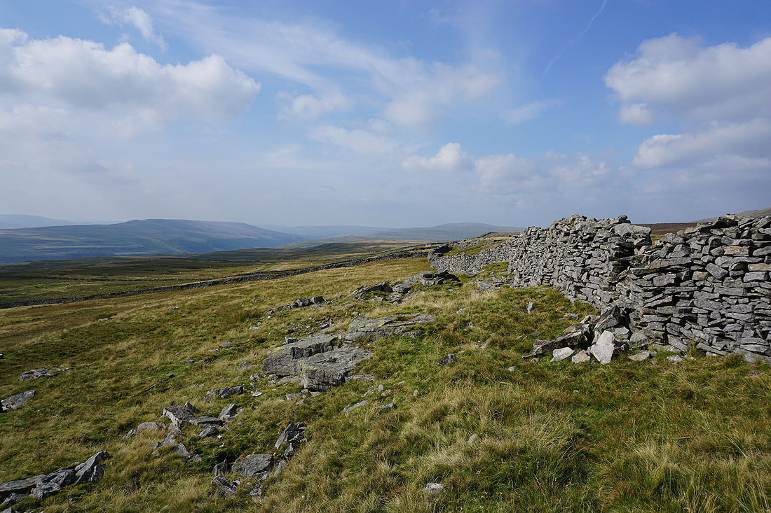
The bridleway ends at this gate but I'm on access land anyway, so I'll go through and follow Blea Beck up to Blea Beck Dams. I think it just ends like this because the wall marks a parish boundary.
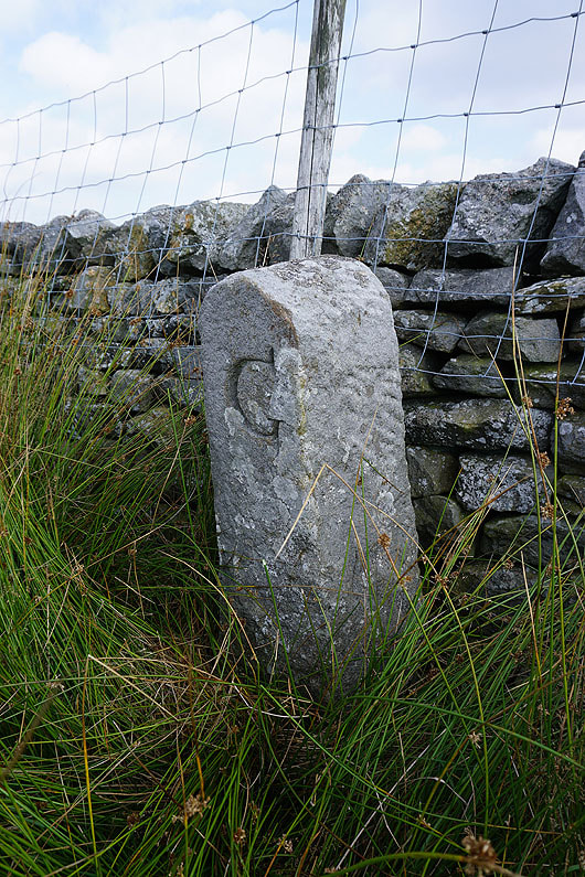
Boundary stone. The "G" is probably for Grassington.
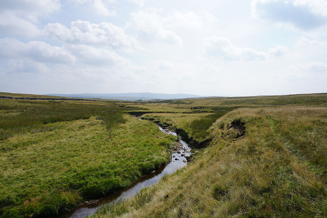
Looking back down Blea Beck with Simon's Seat in the distance
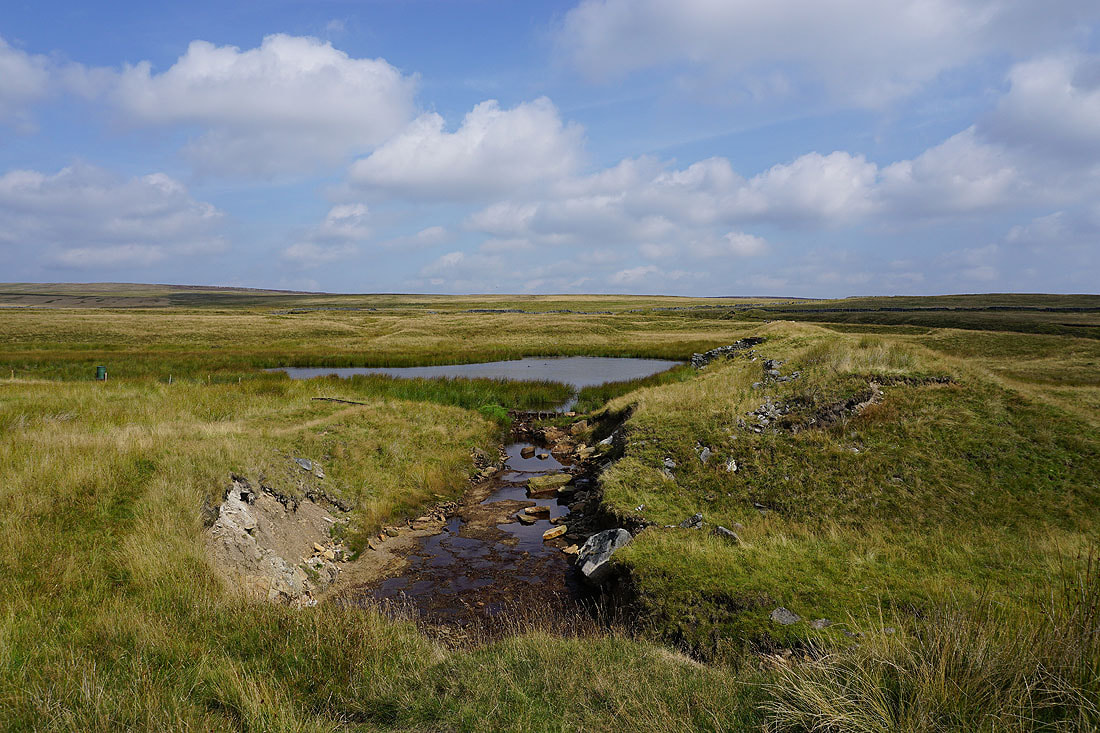
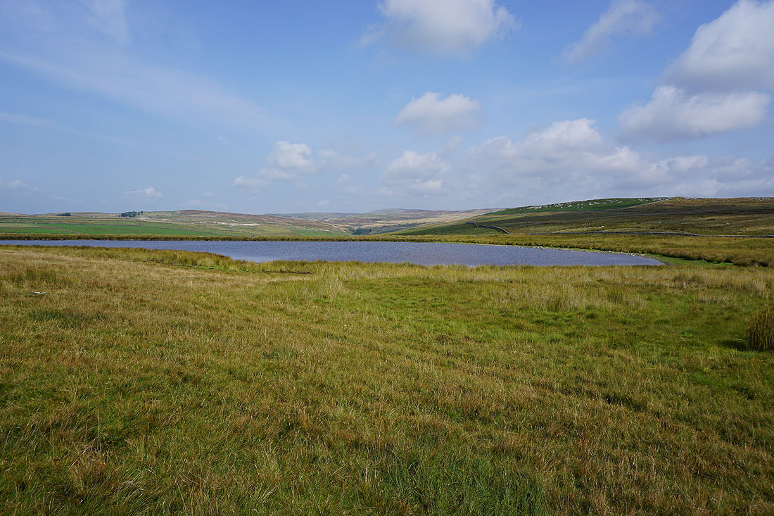
The lowest of the Blea Beck Dams, the dam of which has been breached
On the track past the higher of the Blea Beck Dams
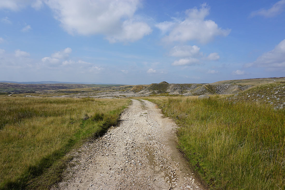
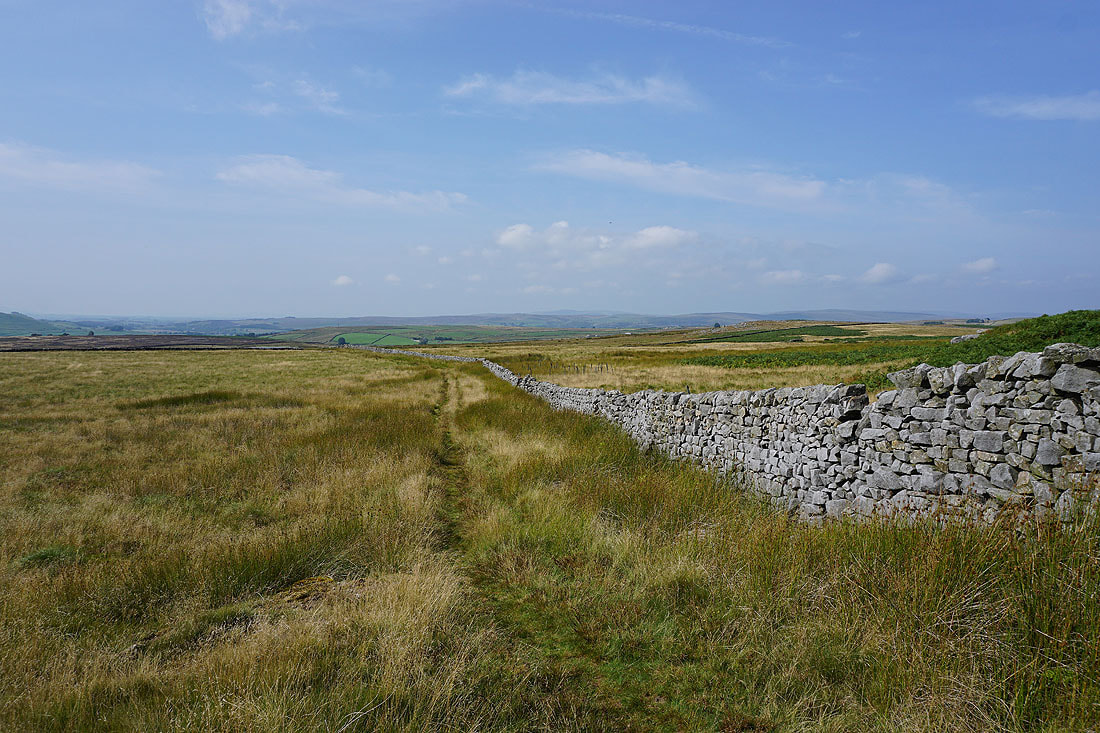
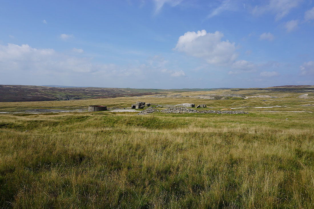
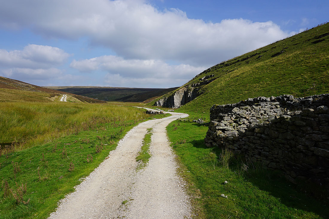
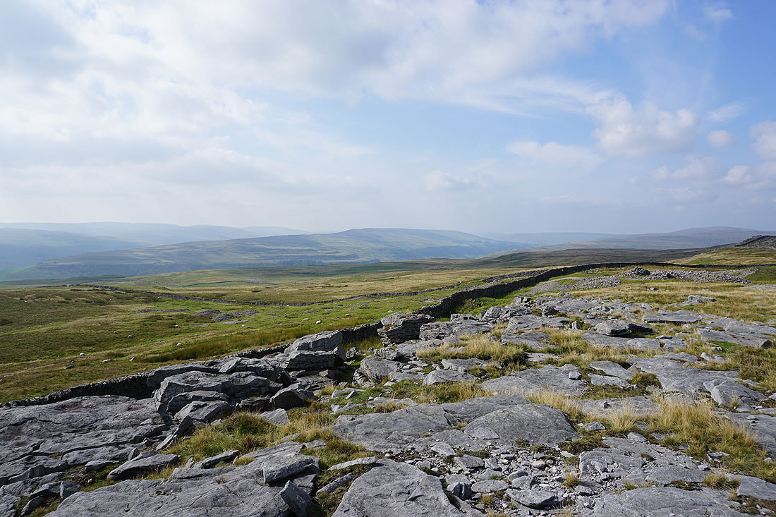
The track takes me west into the ruins of the Grassington Lead Mines
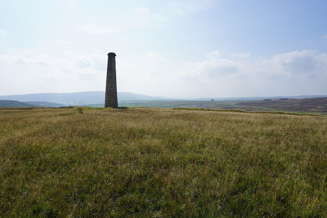
Amongst the ruins of the Grassington Lead Mines..
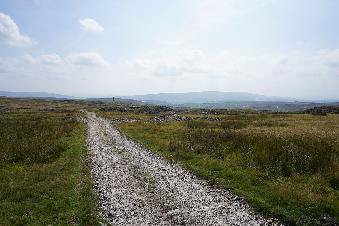
I leave the ruins behind..
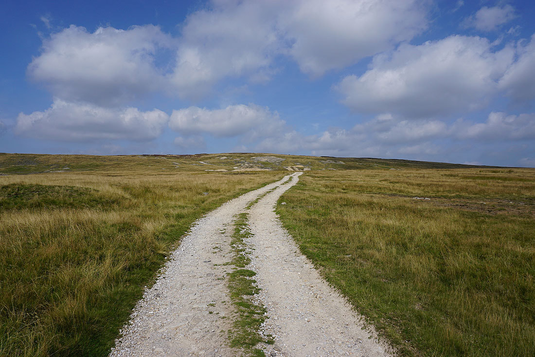
..and follow the track up onto Grassington Moor
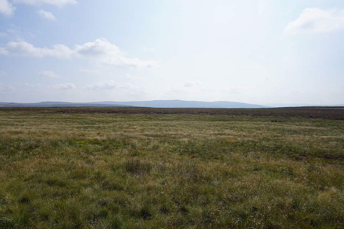
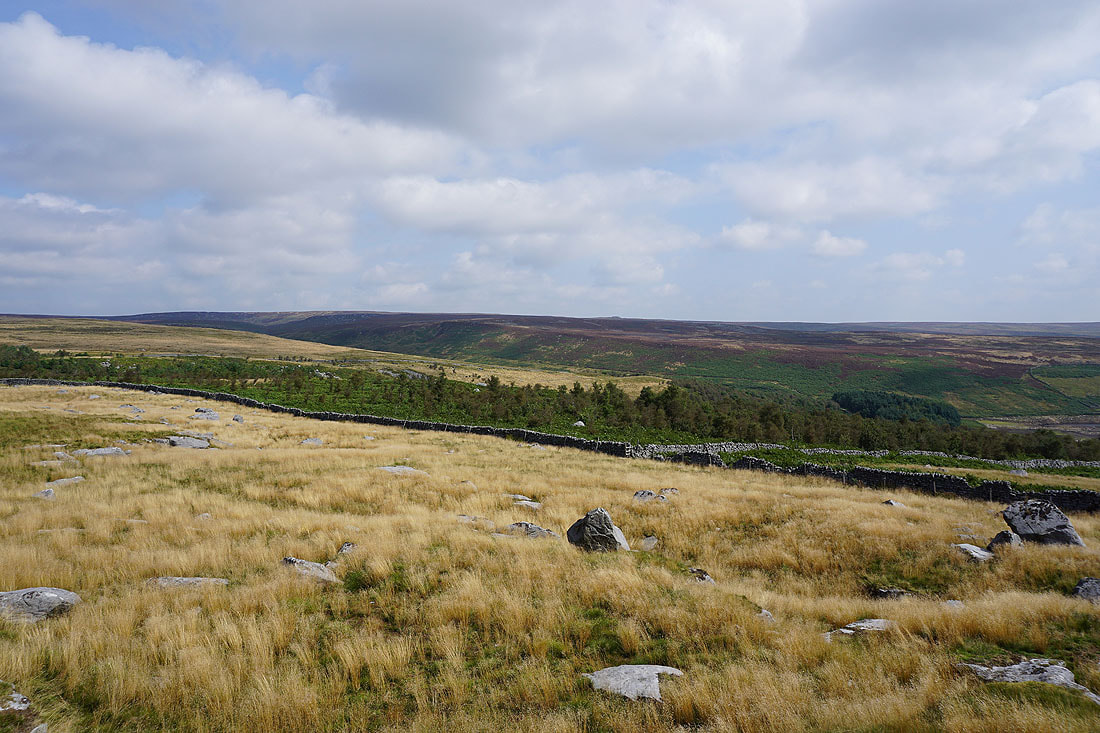
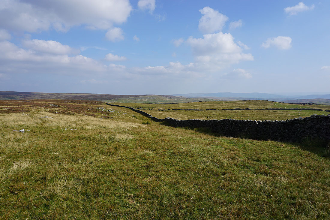
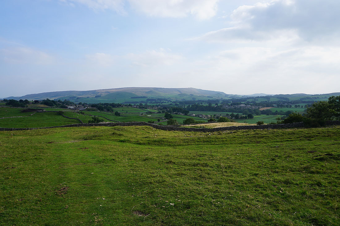
Looking back from Grassington Moor, with Simon's Seat in the distance on the left and Barden Moor on the right
I follow the track northwest, down to and across Black Edge Dike, and then below Black Edge..
Looking south to Simon's Seat and Barden Moor from below Black Edge..
..and west across Wharfedale
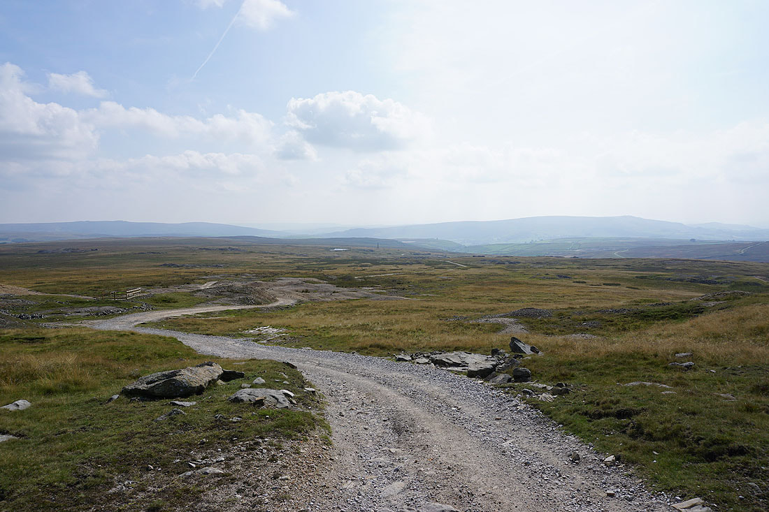
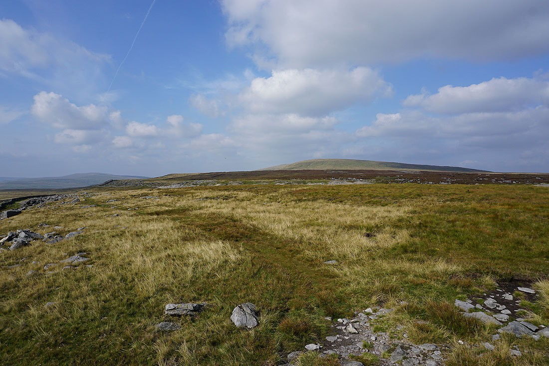
Following the track north to Mossdale..
..and then into Mossdale. Approaching Mossdale Scar.
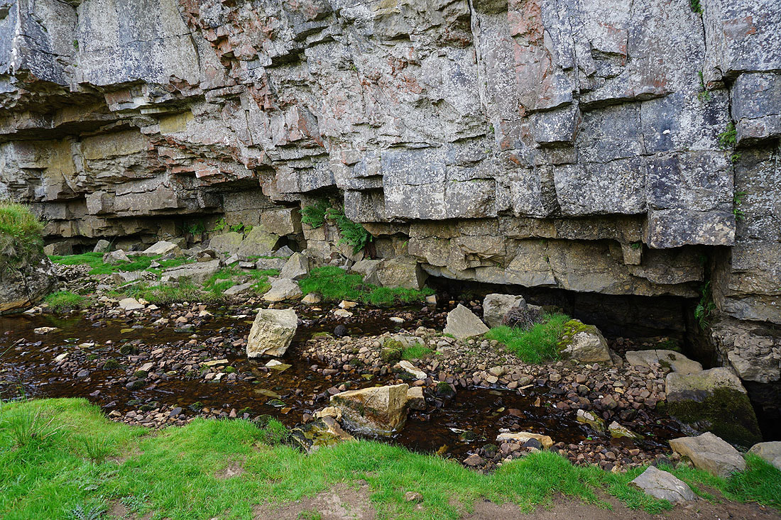
Mossdale Beck disappears at the foot of Mossdale Scar into Mossdale Caverns. It resurfaces as Black Keld by the River Wharfe just south of Kettlewell.
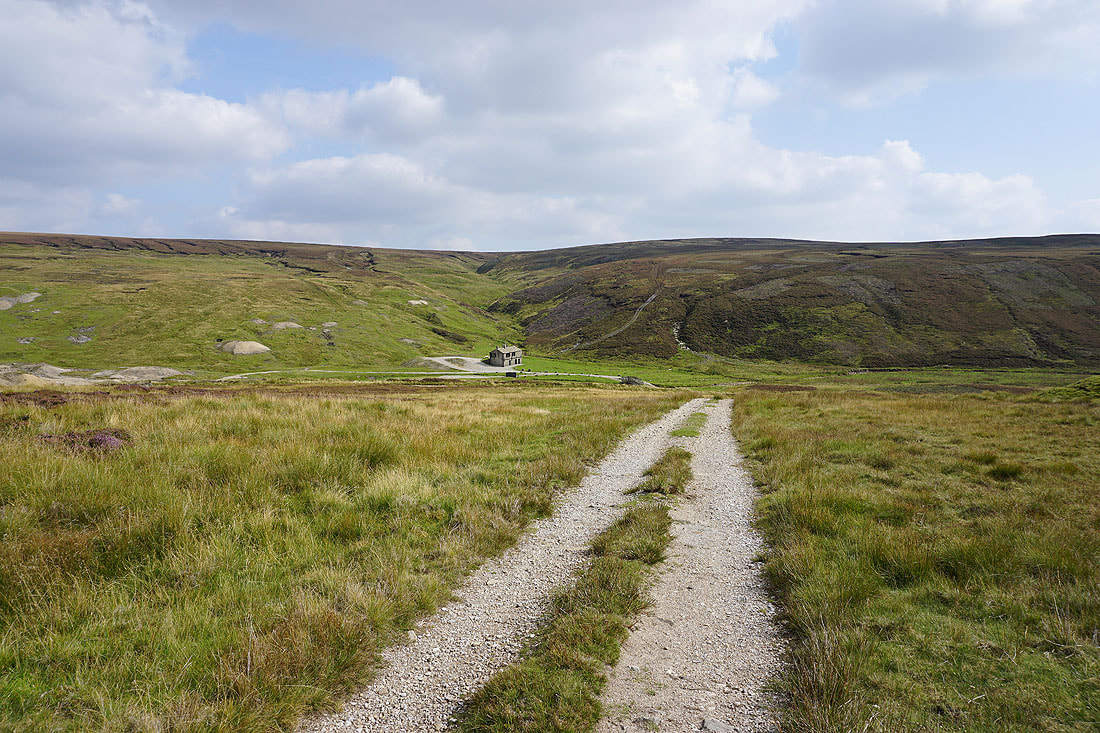
Looking back to the shooting hut in Mossdale as I head up onto Conistone Moor
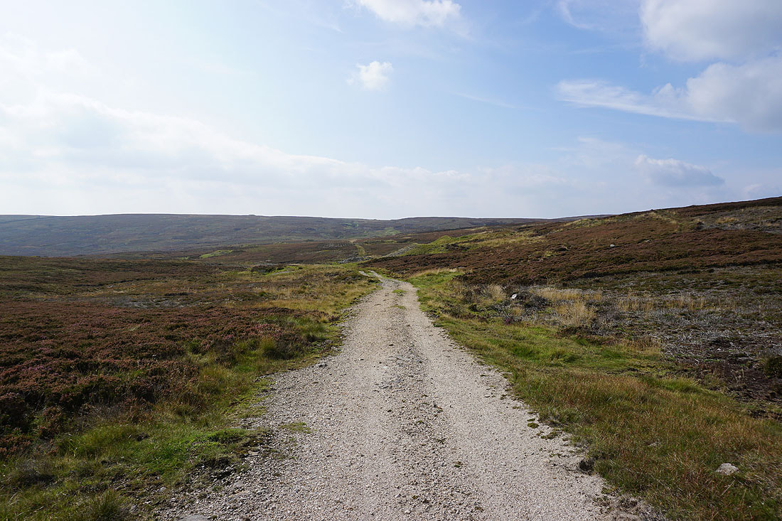
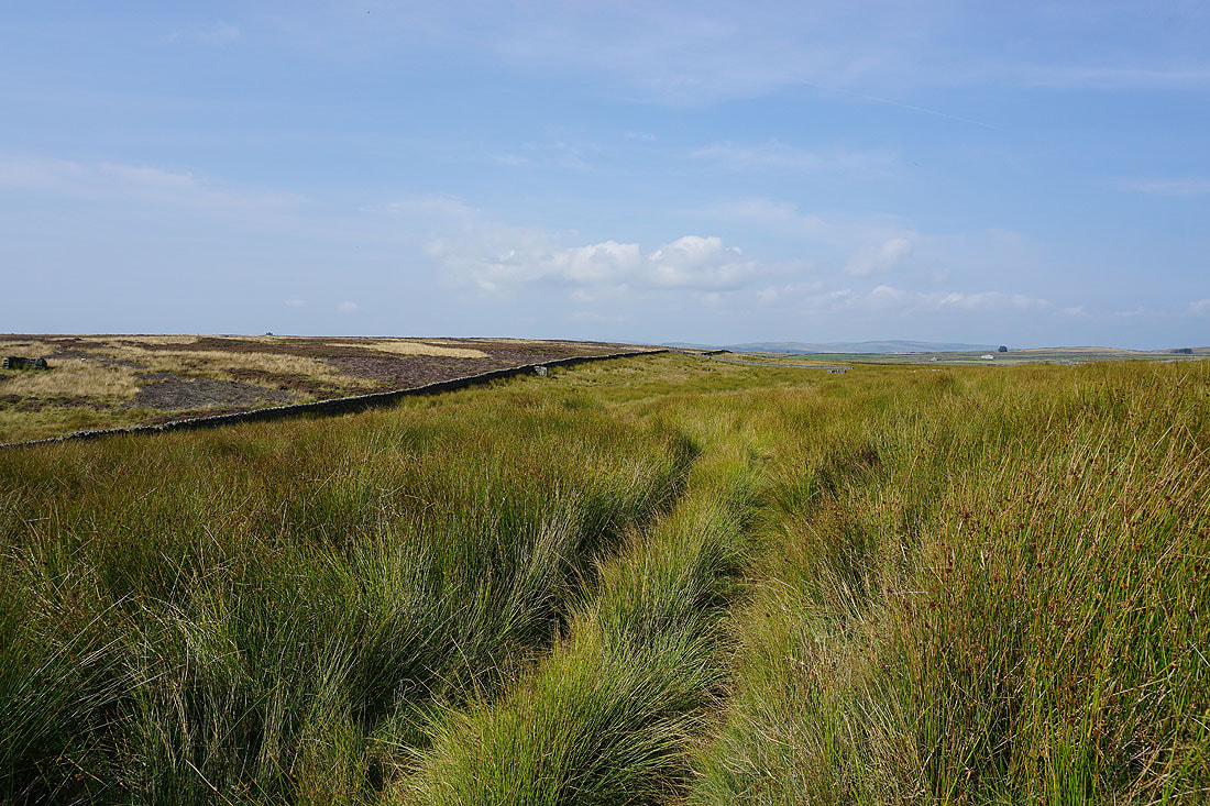
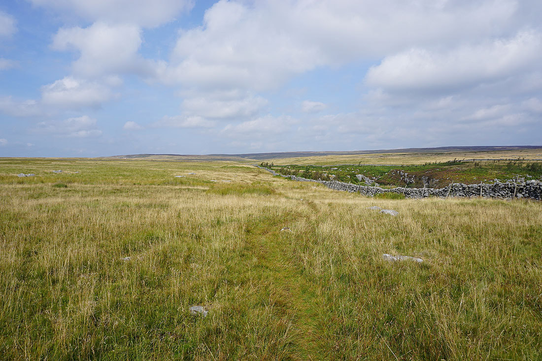
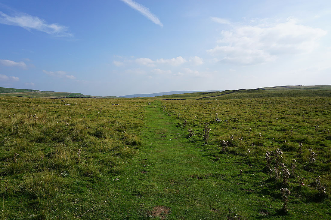
Following the path west across Conistone Moor
Looking south to Barden Moor in the distance. The track below Black Edge that I was on earlier can be seen on the left.
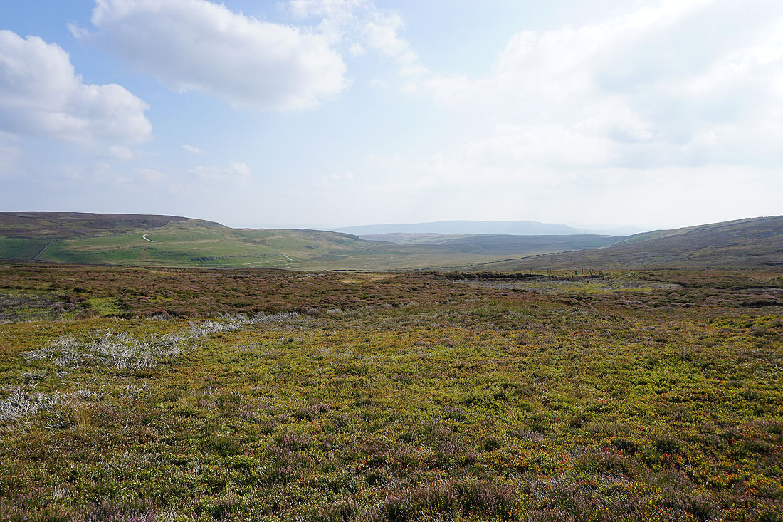
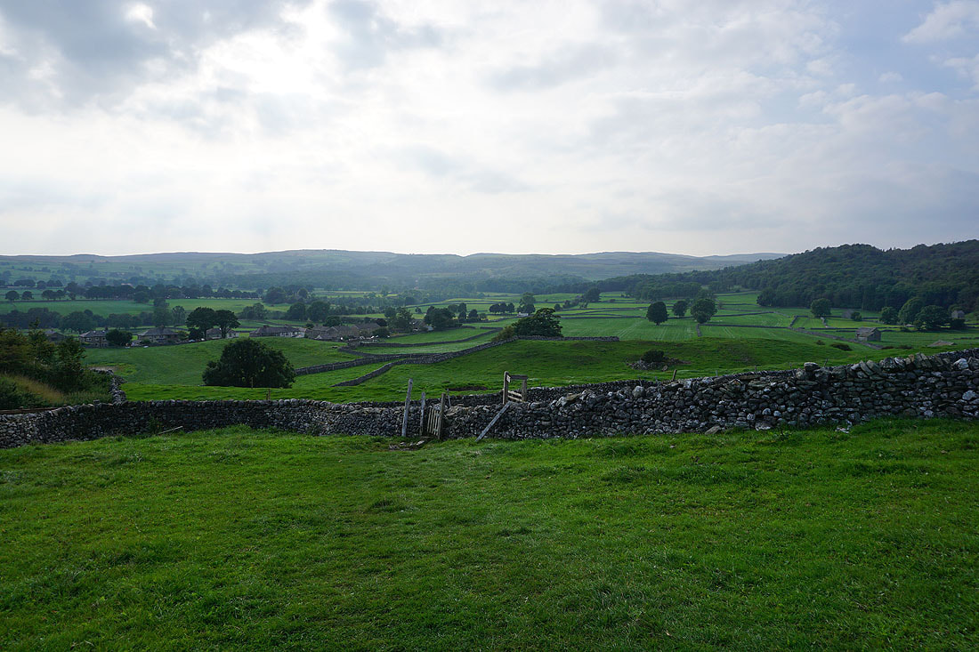
My arrival on the western edge of Conistone Moor is greeted by a fantastic view across Wharfedale and Littondale to Fountains Fell, Darnbrook Fell, Plover Hill, Old Cote Moor Top, Yockenthwaite Moor and Buckden Pike
The southern end of Great Whernside rises above the nearby moor
Looking across to where I was earlier in the day, Black Edge and Grassington Moor
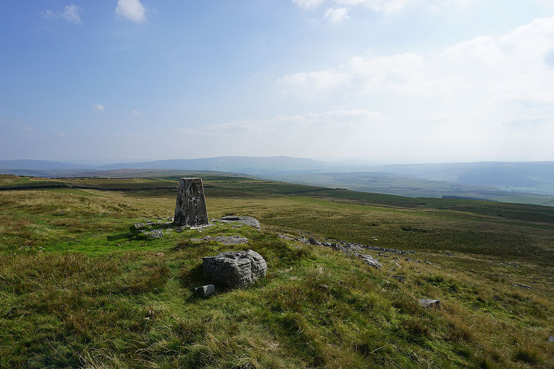
At the trig point at Capplestone Gate. Looking south down Wharfedale to Barden Moor.
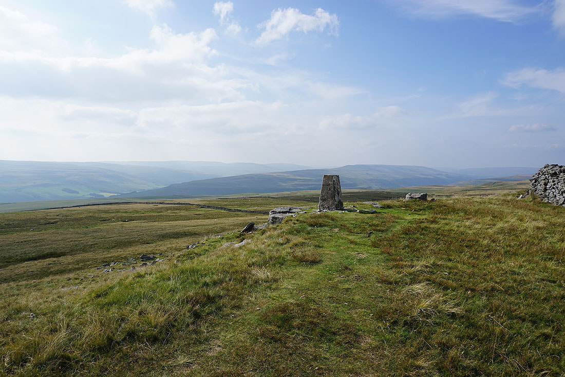
The fells round Littondale and upper Wharfedale
Looking up upper Wharfedale to Old Cote Moor Top, Yockenthwaite Moor and Buckden Pike
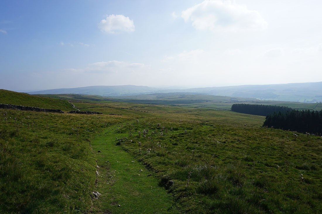
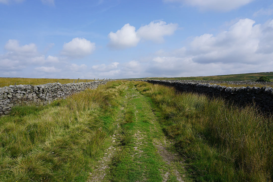
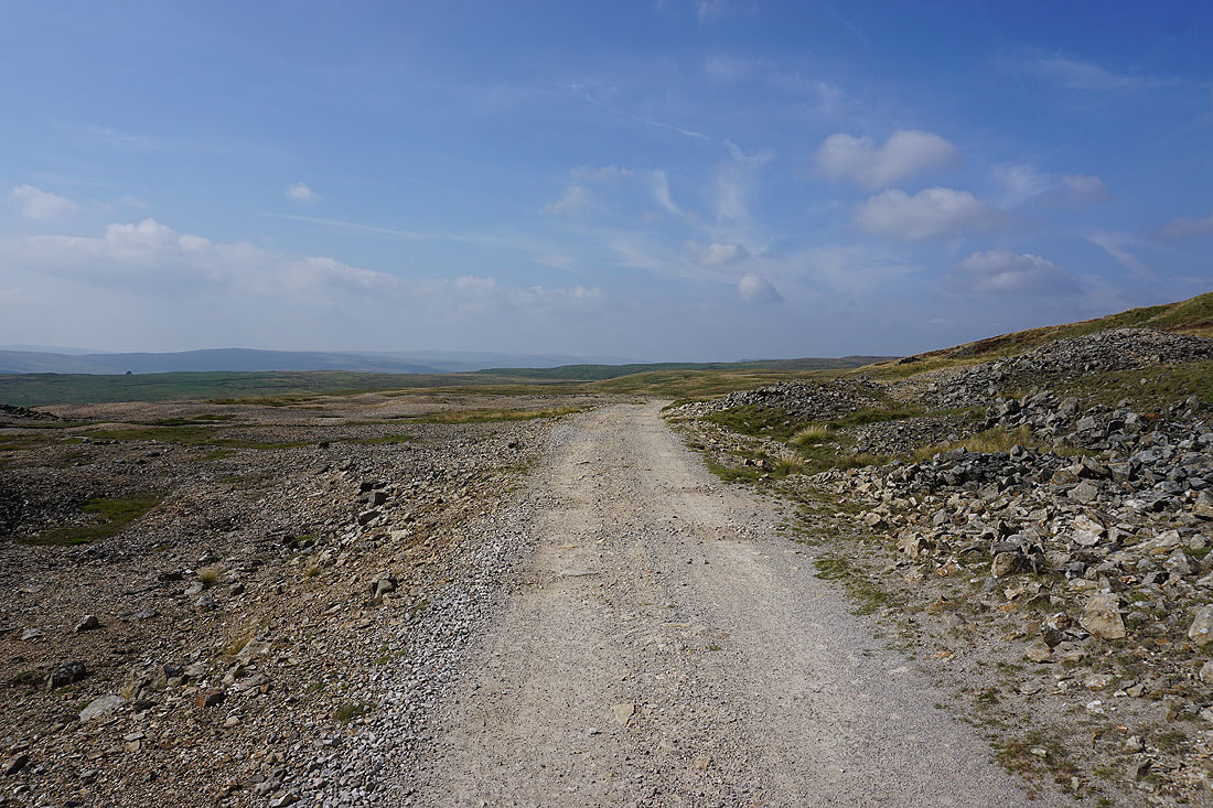
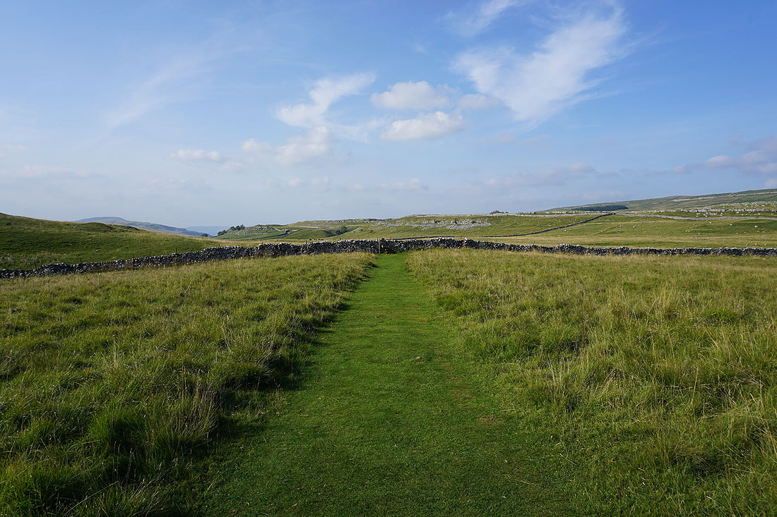
Heading down along the Conistone Turf Road path to the track of Bycliffe Road
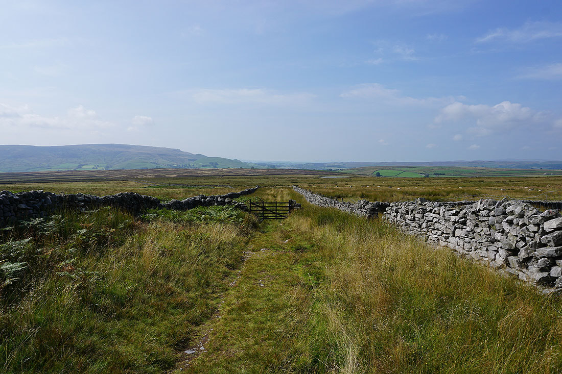
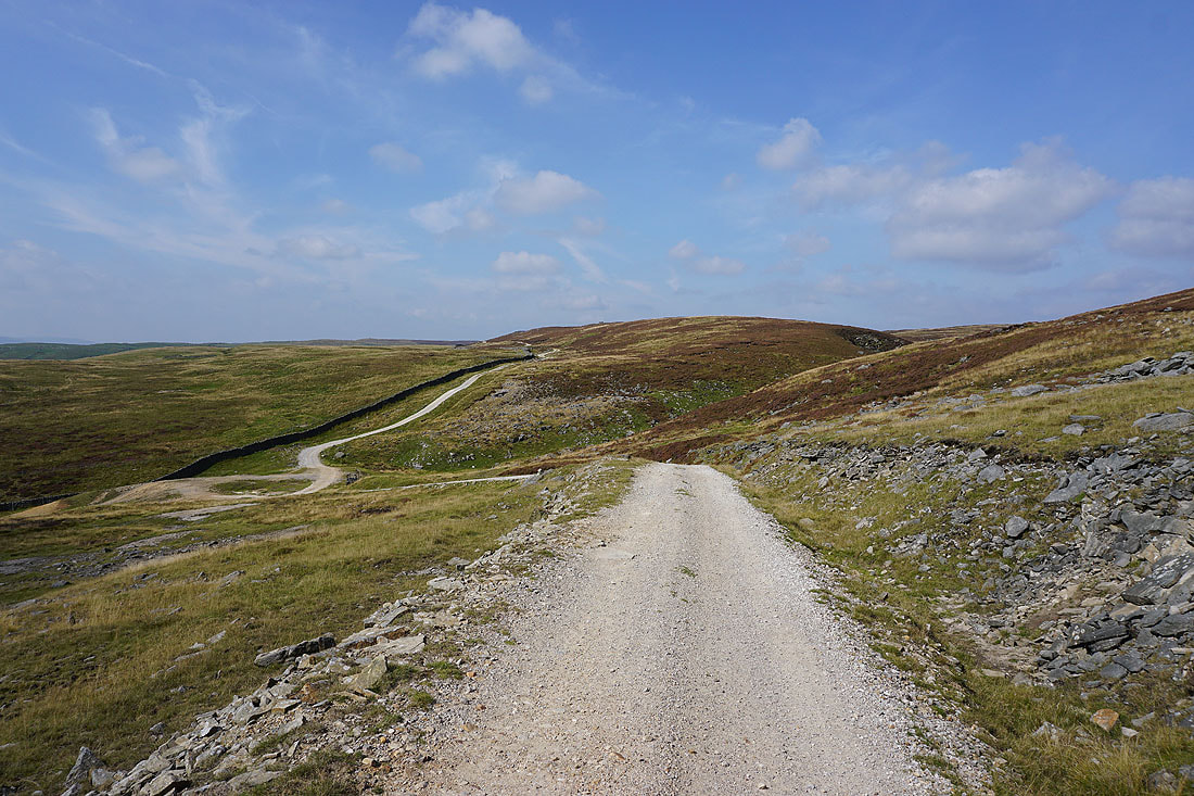
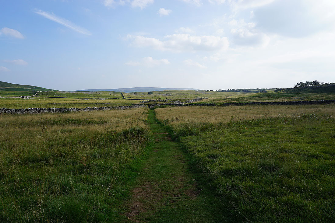
Sunlit moors from Bycliffe Road
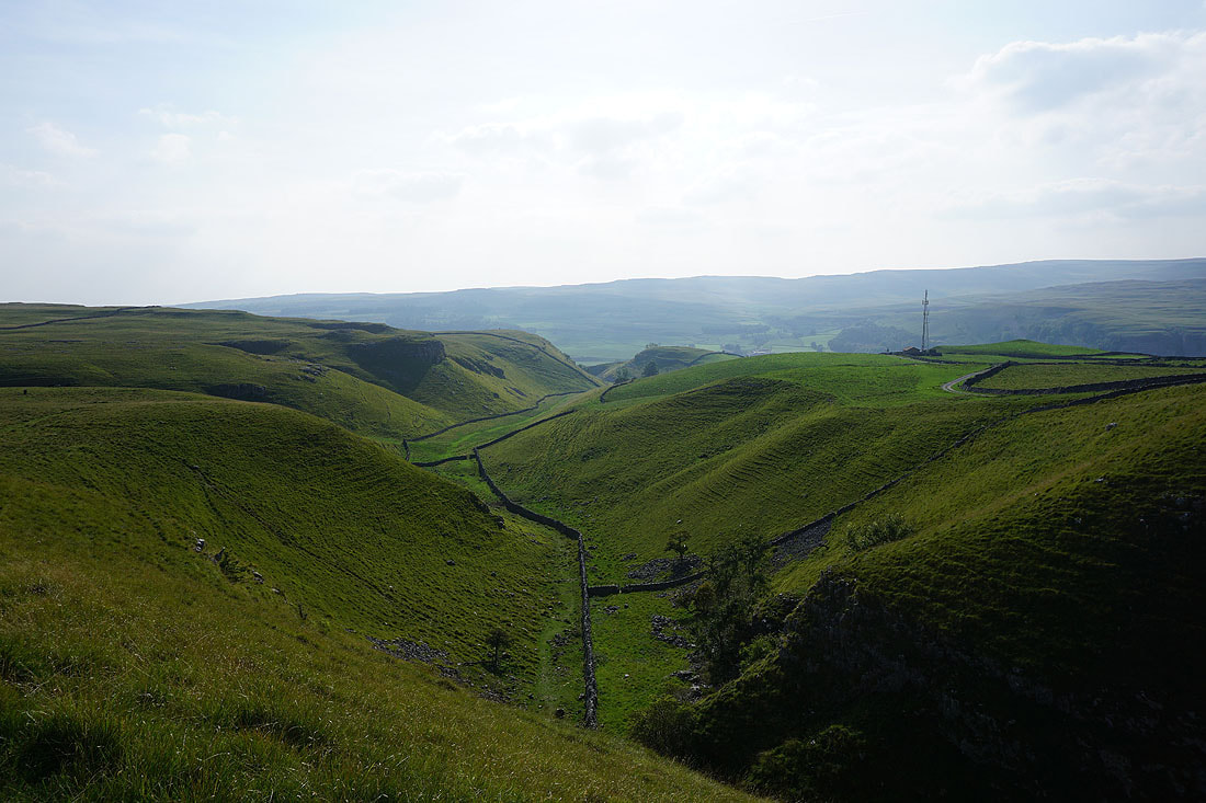
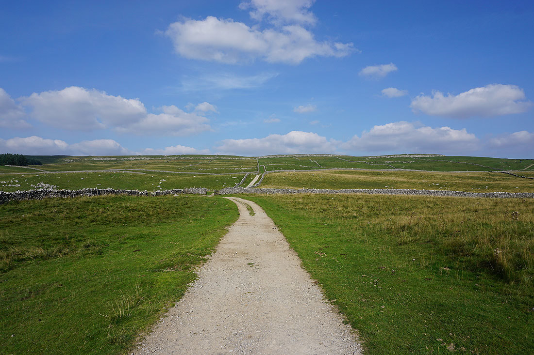
Onto the Dales Way and passing Conistone Dib
Views of the surrounding moors as I follow the Dales Way south....
Grassington in sight with Barden Moor behind
A last shot looking across Wharfedale to Threshfield Moor