6th April 2019 - Anglezarke Moor
Walk Details
Distance walked: 8.9 miles
Total ascent: 1484 ft
OS map used: 287 - West Pennine Moors
Time taken: 4 hrs
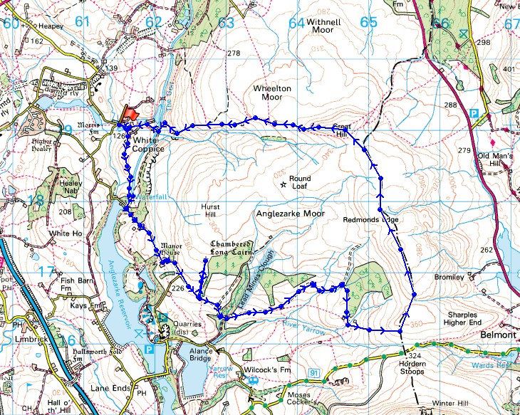
Route description: White Coppice-White Coppice Farm-Stronstrey Bank-Moor Road-Jepson's Gate-Pike Stones-Lead Mines Clough-Lower Hempshaw's-Higher Hempshaw's-Hordern Pasture-Spitlers Edge-Great Hill-Drinkwaters-White Coppice
After my walk up in the Lakes last weekend I'm staying much closer to home this time with what has become one of my favourite local walks during the past couple of years, Anglezarke Moor. On this occasion I saved the moorland stretch for the afternoon and took in Pike Stones, a chambered long cairn, which I hadn't visited before and was worth the relatively short detour. It was a beautiful day for being up on the moors with warm sunshine and great visibility for taking in the distant views.
From where I parked in White Coppice I took the footpath up to White Coppice Farm, around it and then across fields to join the footpath south beneath Stronstrey Bank to Moor Road. I then walked up Moor Road until I reached a sharp right hand bend where I took the bridleway from Jepson's Gate down to Lead Mines Clough (with a detour to see Pike Stones). After crossing Limestone Brook I followed a track east across the hillside until it reached the ruins of Lower and Higher Hempshaw's and the path up to Horden Pasture. The moorland stretch of the walk came next as I headed north over Spitlers Edge to Great Hill. The path west from Great Hill took me back down to White Coppice.
Total ascent: 1484 ft
OS map used: 287 - West Pennine Moors
Time taken: 4 hrs
Route description: White Coppice-White Coppice Farm-Stronstrey Bank-Moor Road-Jepson's Gate-Pike Stones-Lead Mines Clough-Lower Hempshaw's-Higher Hempshaw's-Hordern Pasture-Spitlers Edge-Great Hill-Drinkwaters-White Coppice
After my walk up in the Lakes last weekend I'm staying much closer to home this time with what has become one of my favourite local walks during the past couple of years, Anglezarke Moor. On this occasion I saved the moorland stretch for the afternoon and took in Pike Stones, a chambered long cairn, which I hadn't visited before and was worth the relatively short detour. It was a beautiful day for being up on the moors with warm sunshine and great visibility for taking in the distant views.
From where I parked in White Coppice I took the footpath up to White Coppice Farm, around it and then across fields to join the footpath south beneath Stronstrey Bank to Moor Road. I then walked up Moor Road until I reached a sharp right hand bend where I took the bridleway from Jepson's Gate down to Lead Mines Clough (with a detour to see Pike Stones). After crossing Limestone Brook I followed a track east across the hillside until it reached the ruins of Lower and Higher Hempshaw's and the path up to Horden Pasture. The moorland stretch of the walk came next as I headed north over Spitlers Edge to Great Hill. The path west from Great Hill took me back down to White Coppice.
Route map
© Crown copyright. All rights reserved. License number PU 100034184.
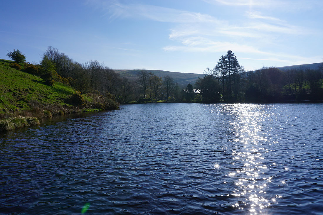
It's a beautiful morning by the fishing lodges and reservoirs at White Coppice..
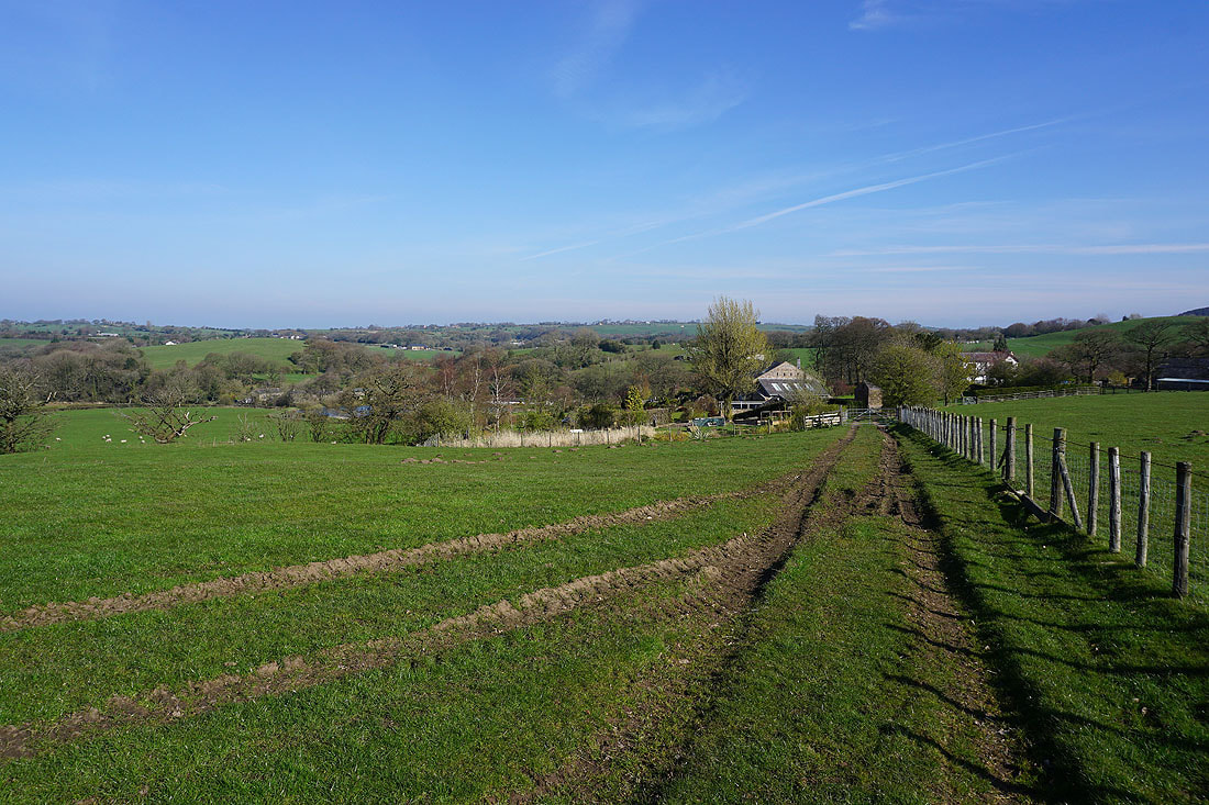
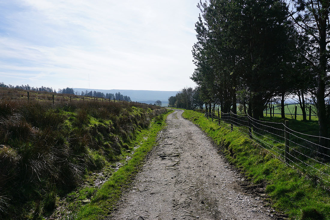
Leaving White Coppice Farm behind
On the path below Stronstrey Bank
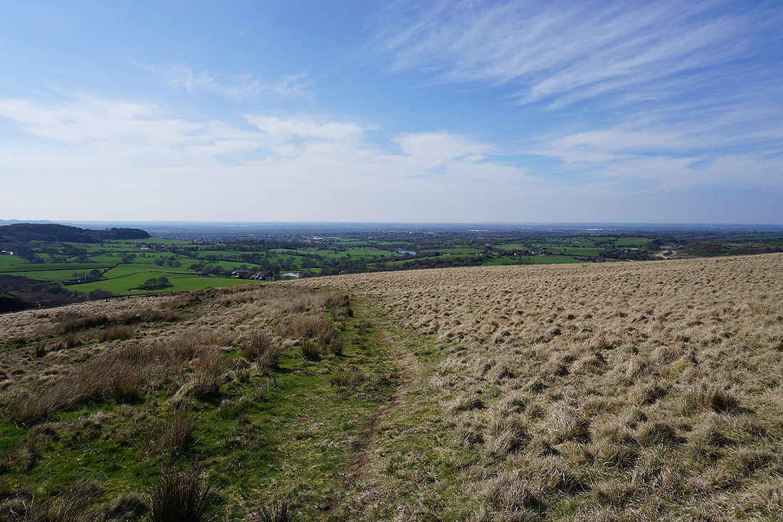
There are great views to the west across the Lancashire countryside as I walk south along Moor Lane...
Having passed through Jepson's Gate, on the bridleway to Lead Mines Clough
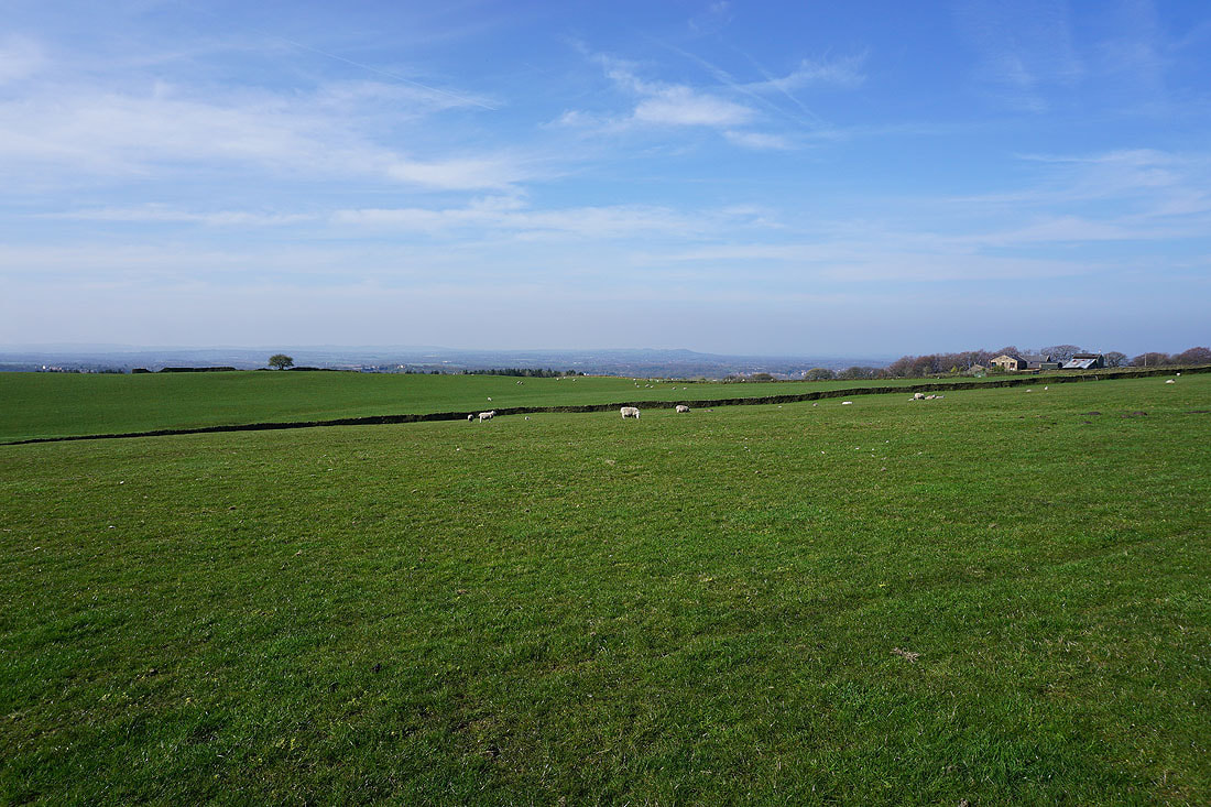
Another photo of the view across the surrounding countryside
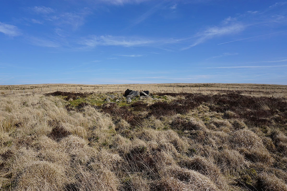
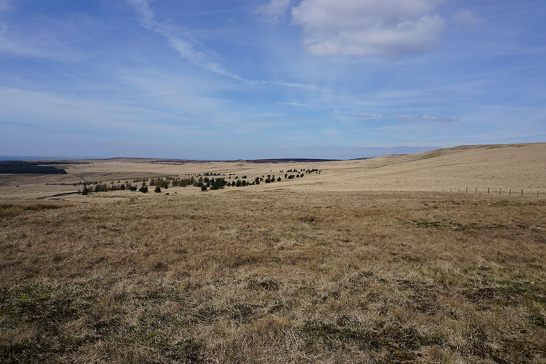
Having left the bridleway at a stile there was a clear enough path up the hillside to reach Pike Stones. This scheduled monument is a chambered long cairn and was once a large burial mound. I've included a link to a site with some information about it.
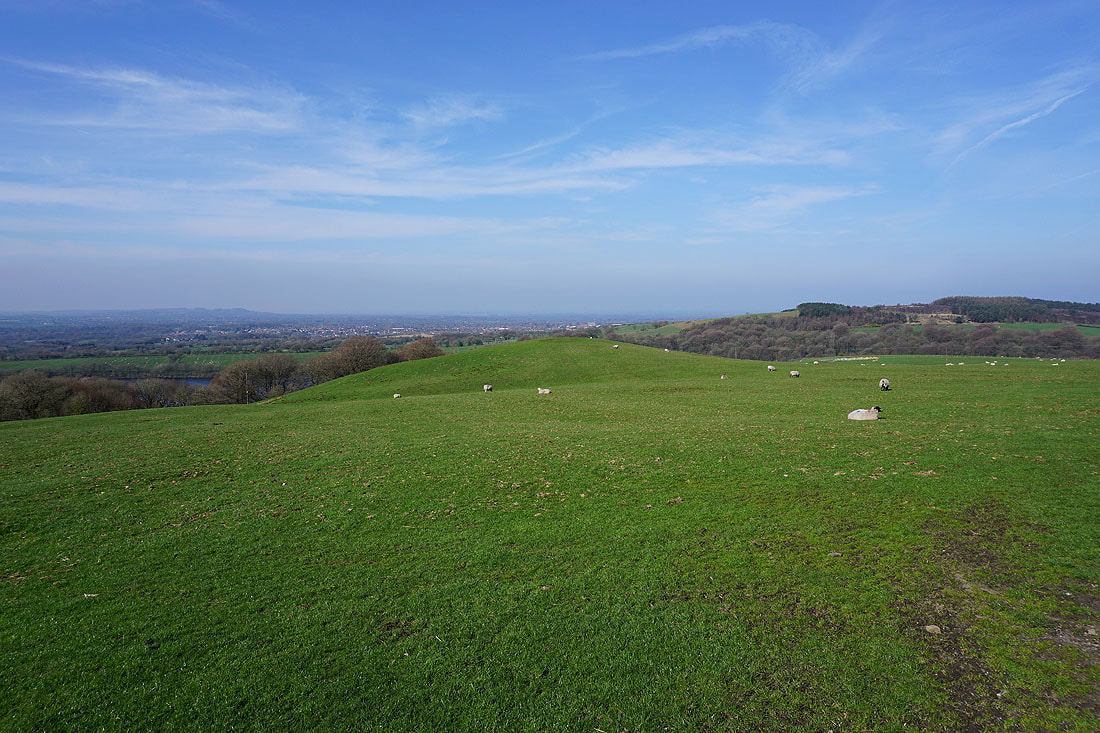
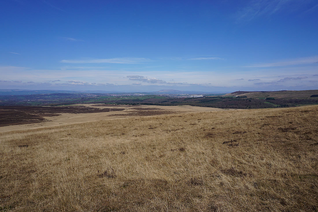
From this altitude it commands an extensive view
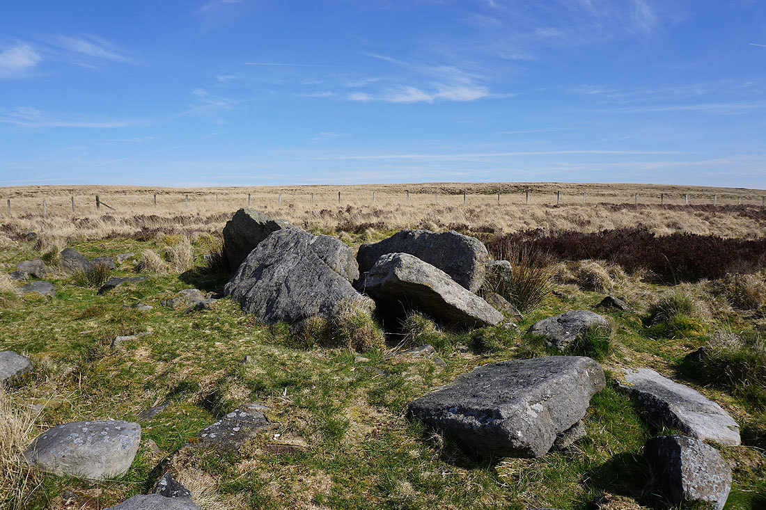
A closer look
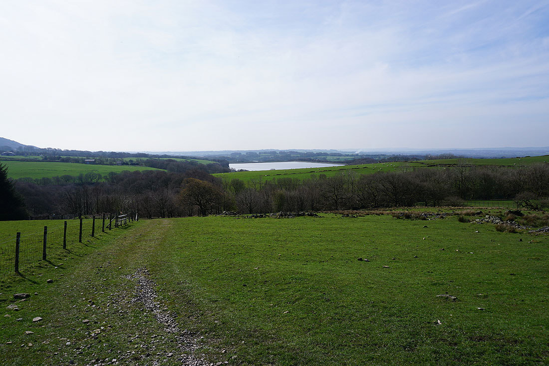
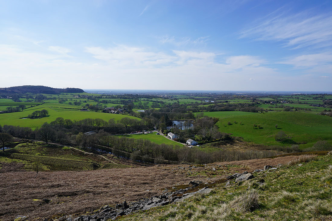
Heading down to Lead Mines Clough with Yarrow Reservoir ahead
|
|
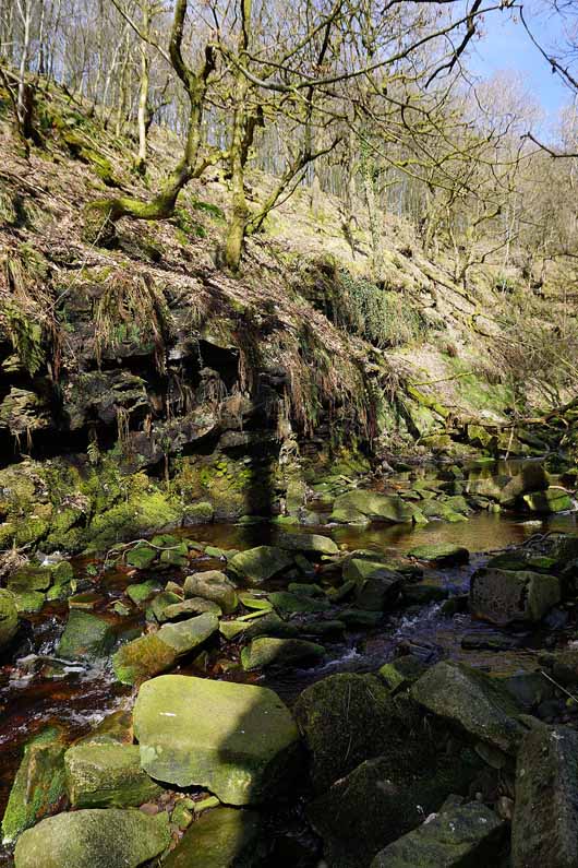
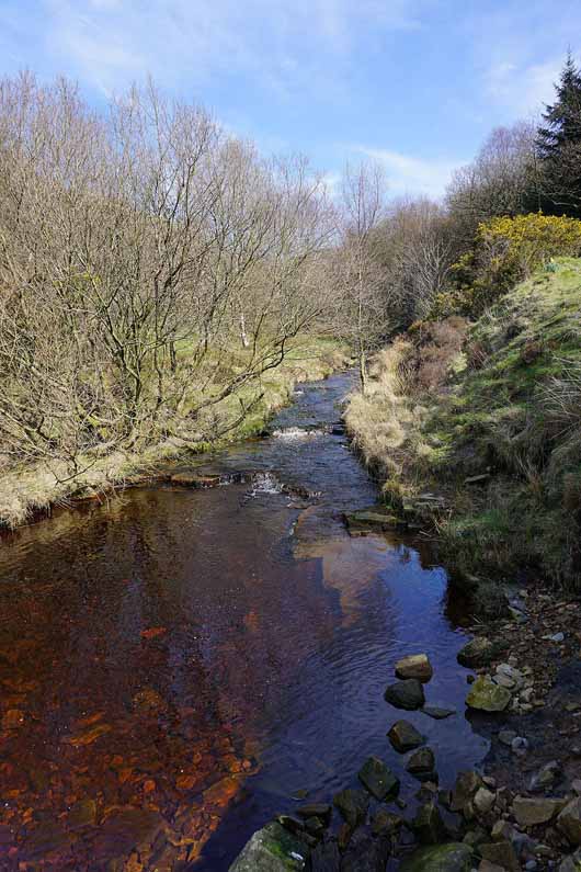
A couple of photos of Limestone Brook in Lead Mines Clough..
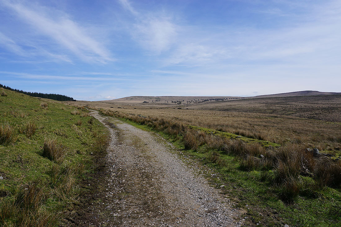
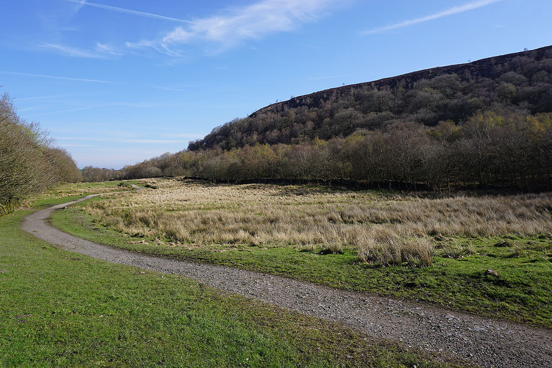
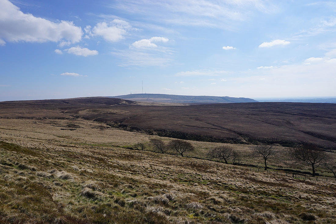
Spitlers Edge on Anglezarke Moor ahead as I follow the track to Lower Hempshaw's
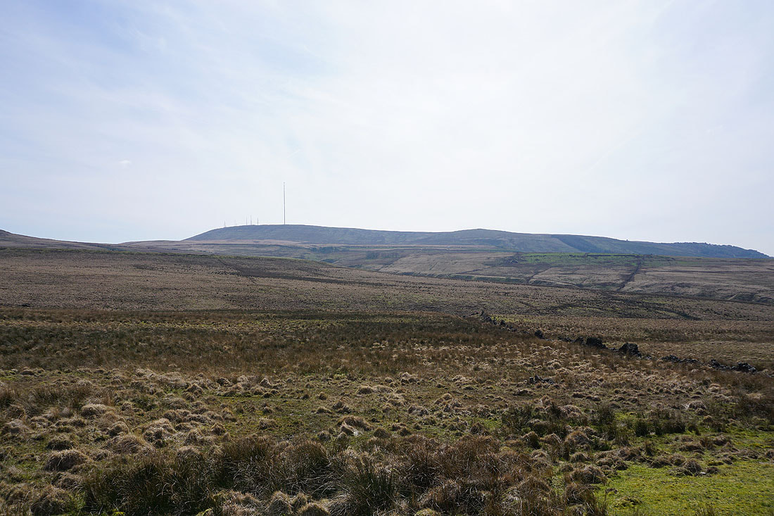
Winter Hill
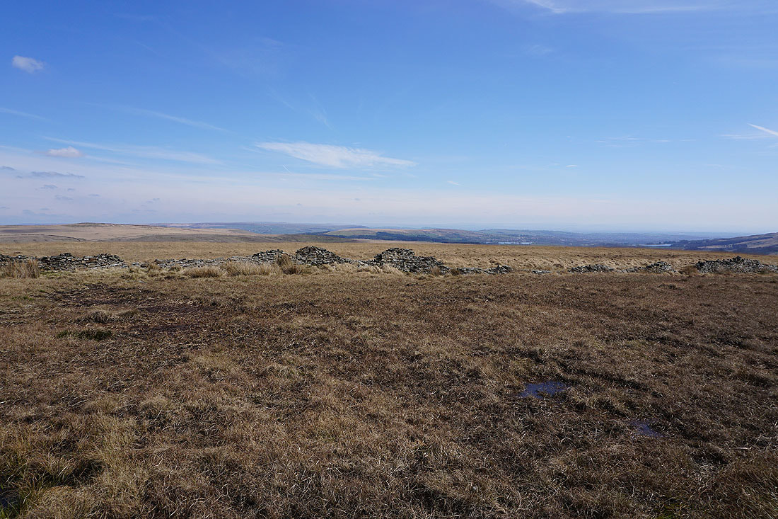
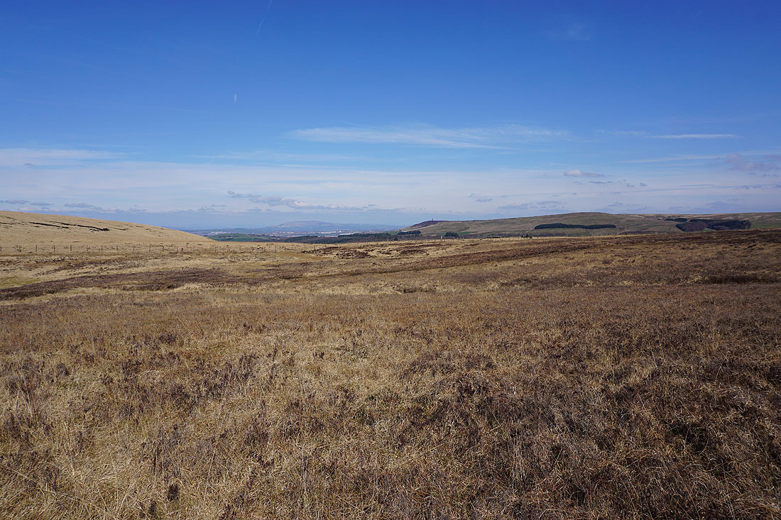
Looking back to Lead Mines Clough as I reach Hordern Pasture
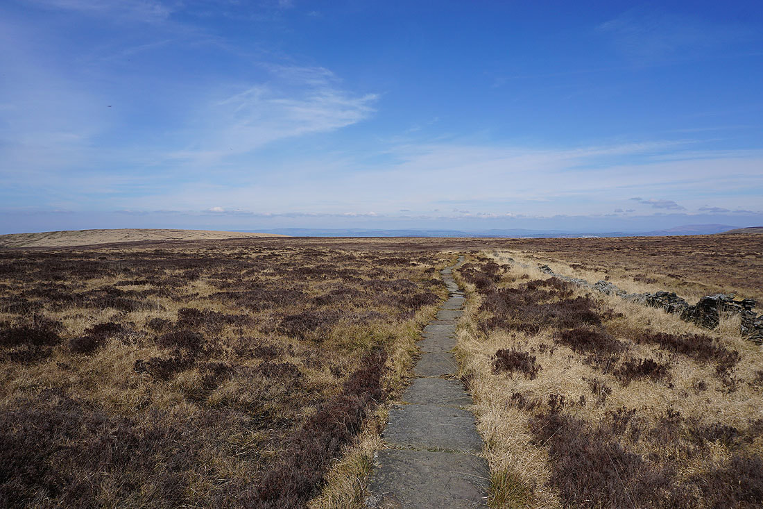
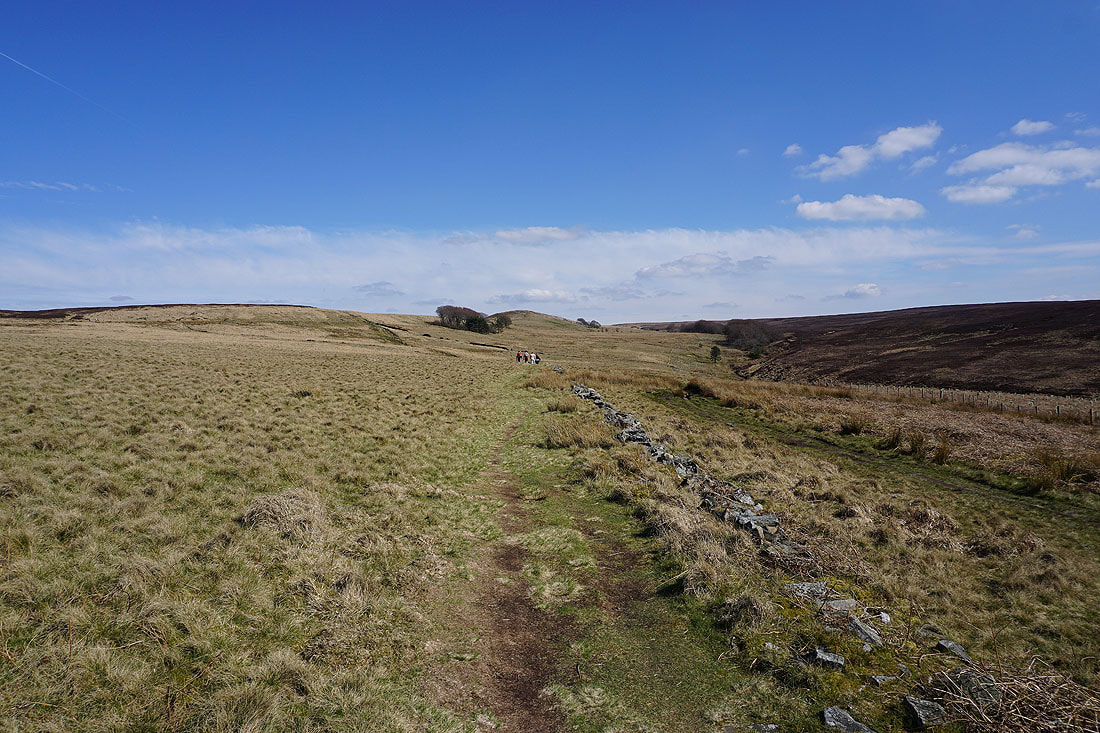
On the path north onto Spitlers Edge
It's a beautiful spring afternoon for being up on the moors
Looking across to Holcombe Moor and Turton Heights
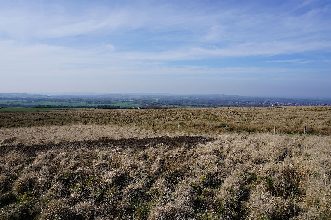
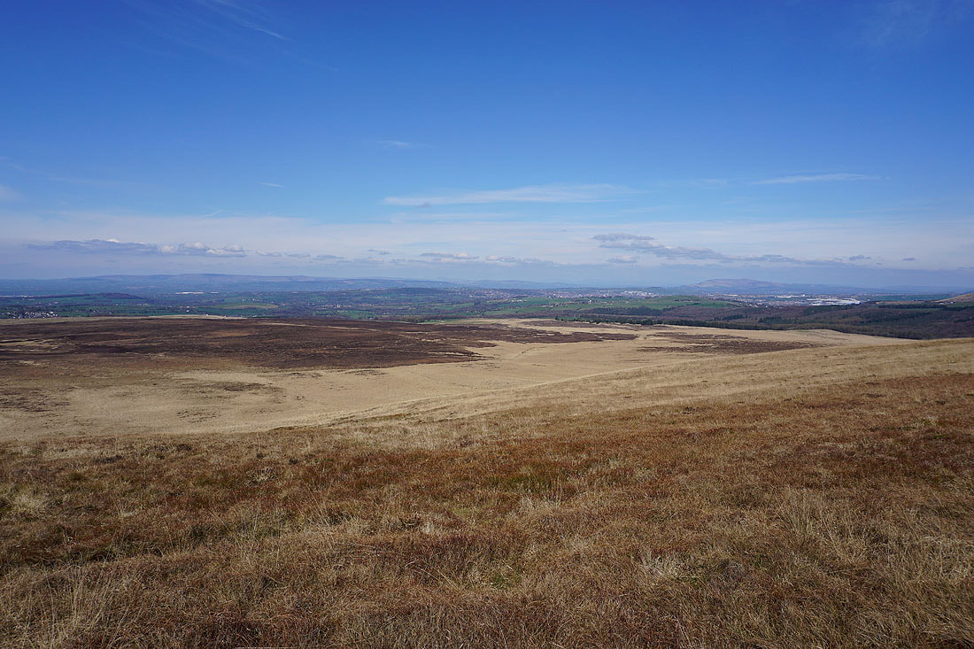
The view ahead from Spitlers Edge to Great Hill with the Forest of Bowland in the distance
Looking across to Darwen Moor
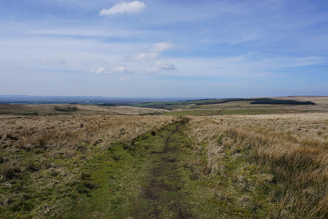
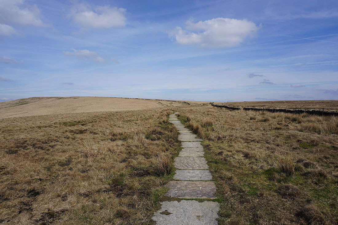
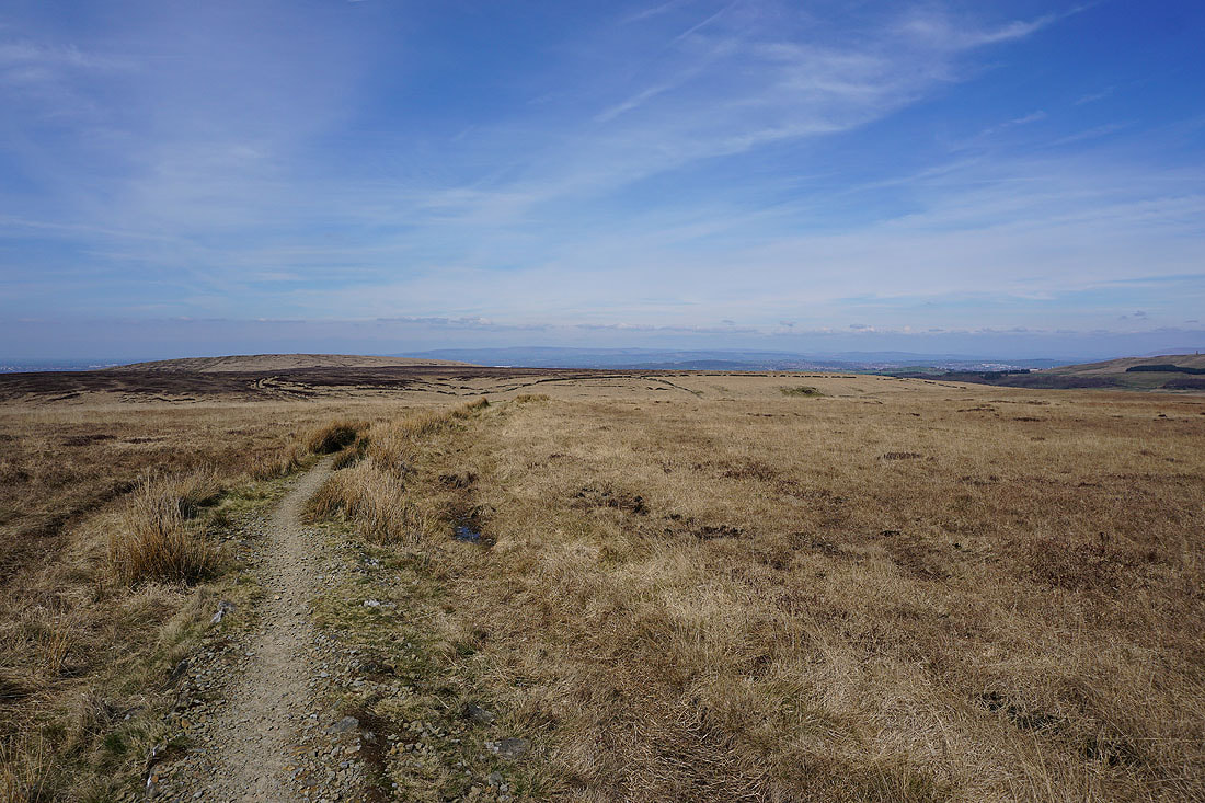
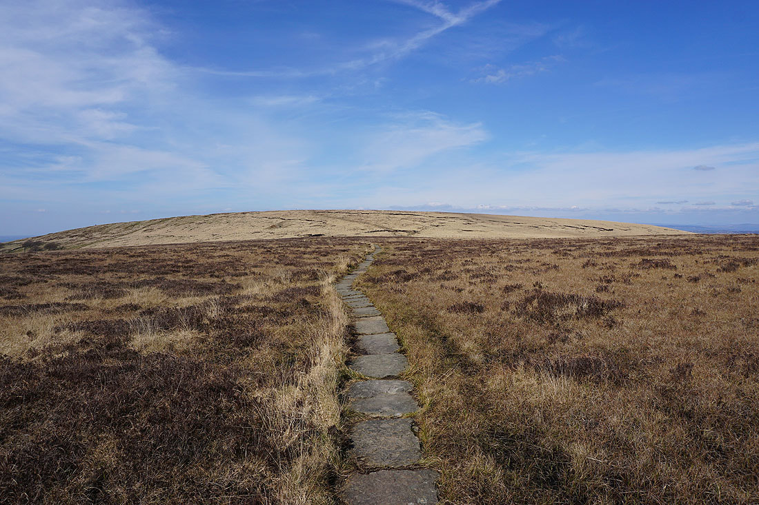
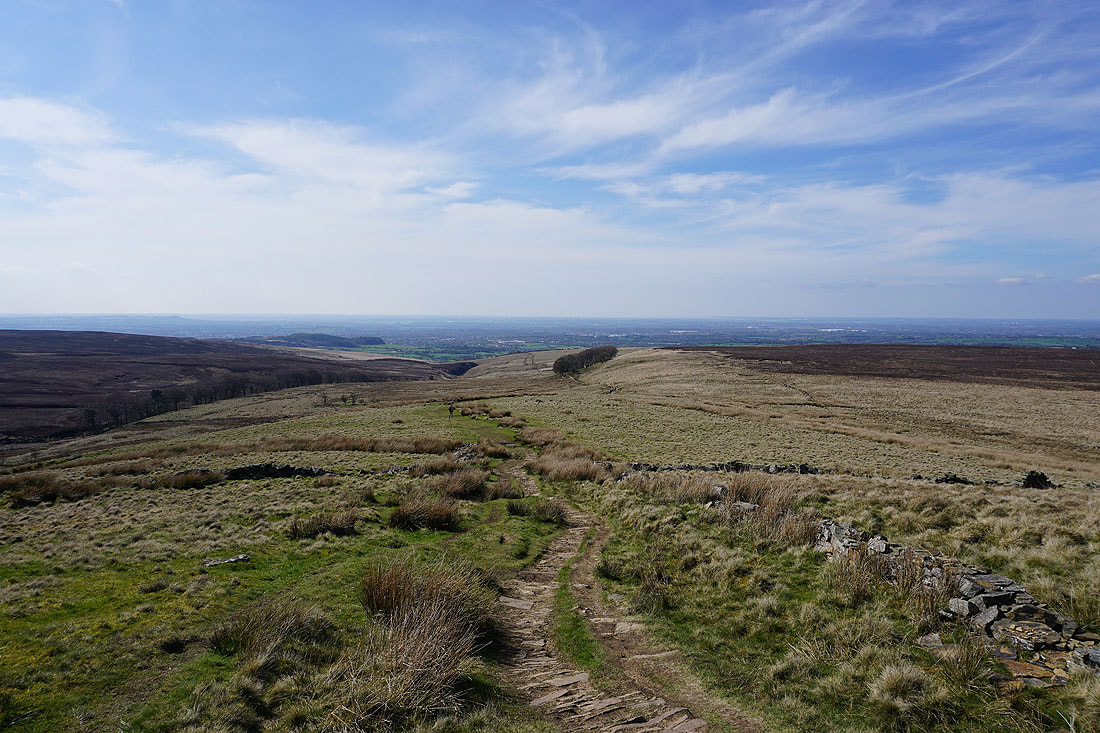
Following the flagged path north to Great Hill..
Pendle Hill appears in the distance to the left of Darwen Moor
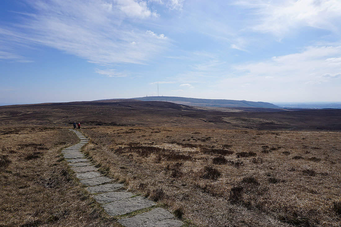
Looking back to Spitlers Edge with Winter Hill in the distance as I reach Great Hill
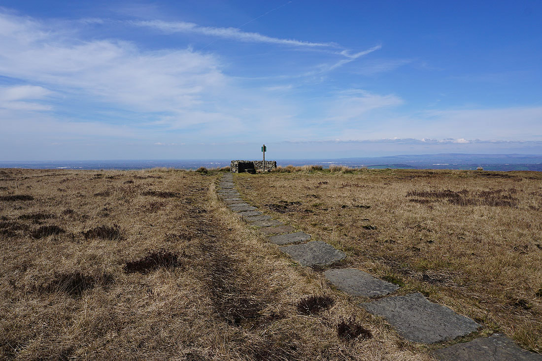
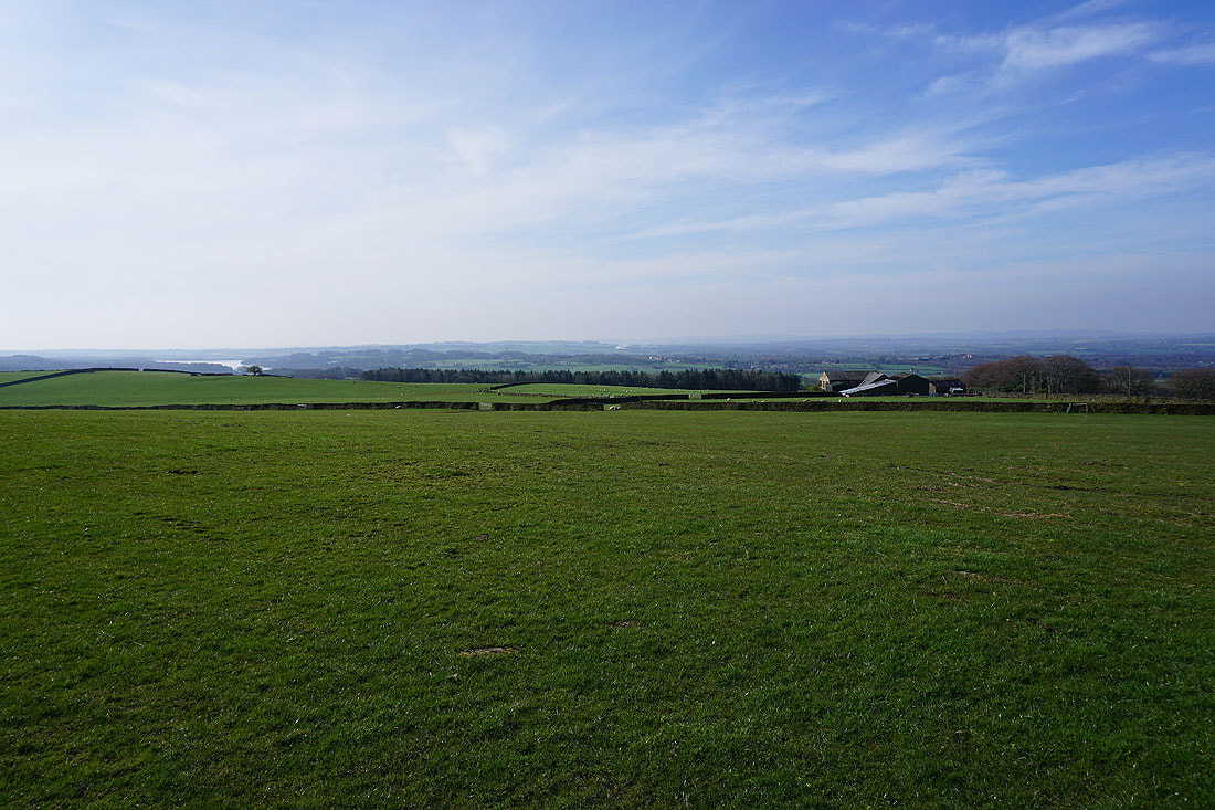
On the summit of Great Hill and there's a fantastic all round view today with the great visibility
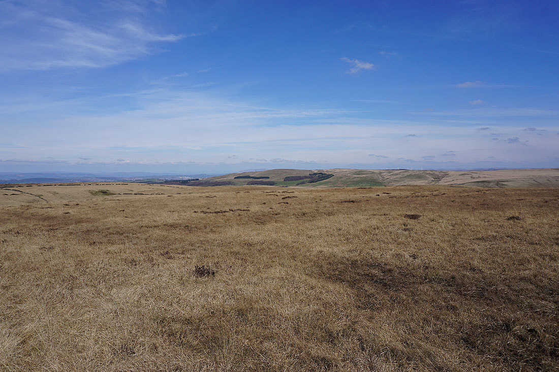
The view from northwest round to northeast is especially good; starting with the Fylde coast, then going right to the Forest of Bowland, then Pendle Hill and finally, Darwen Moor. The broad expanses of Wheelton Moor and Withnell Moor are below.
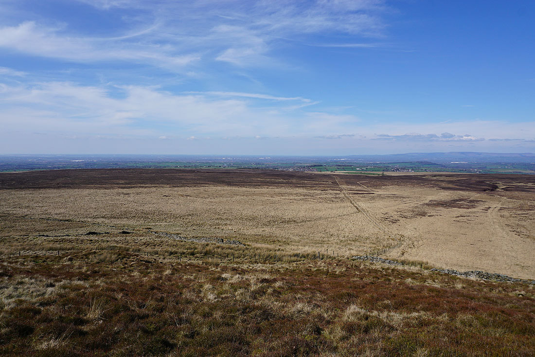
Winter Hill in the distance across the bulk of Anglezarke Moor
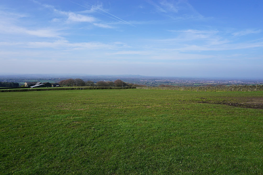
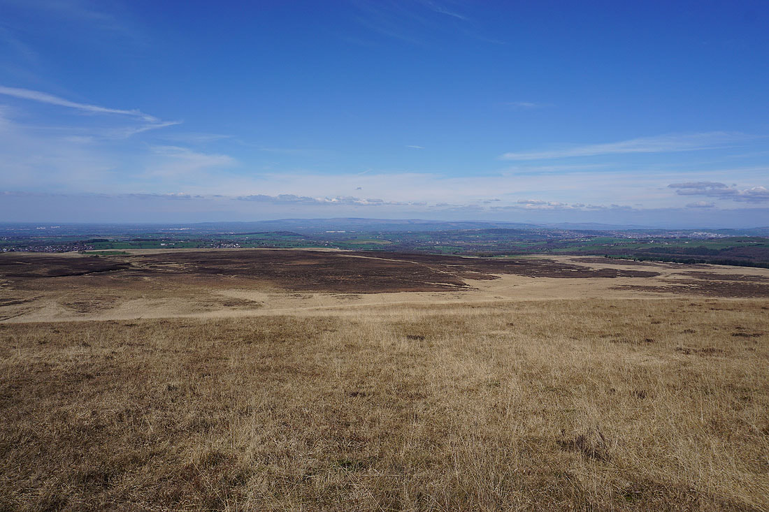
There's a glorious view out to the west as I start my descent
Looking back to the top of Great Hill
As I near the final drop down to White Coppice I go along the edge of the hill to get a bird's eye view of the hamlet..
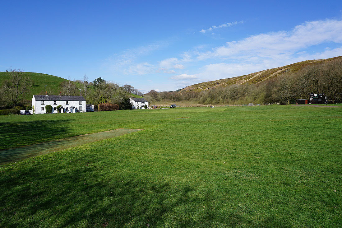
My final shot is of the cricket pitch at White Coppice