6th August 2016 - Margery Hill & Derwent Edge
Walk Details
Distance walked: 15.2 miles
Total ascent: 2373 ft
OS map used: OL1 - The Peak District, Dark Peak area
Time taken: 8.5 hrs
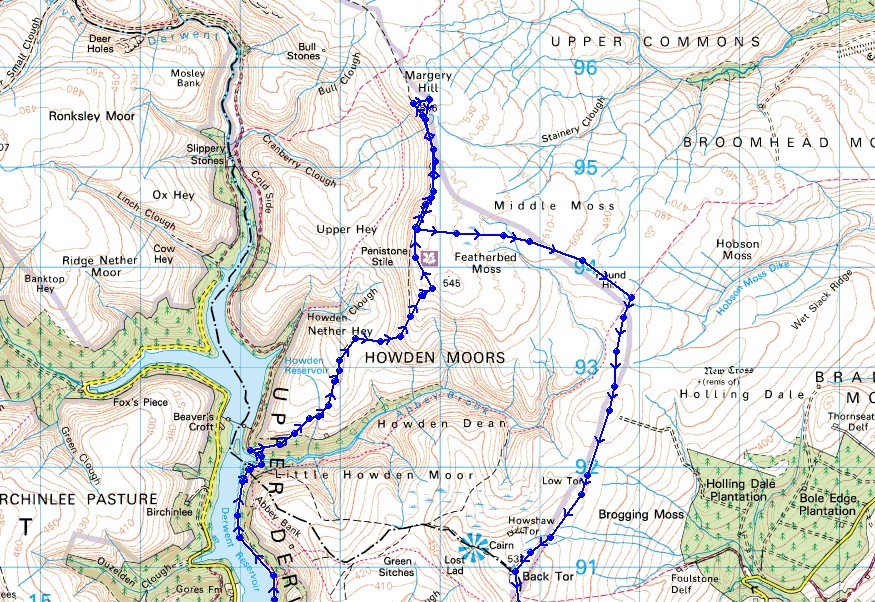
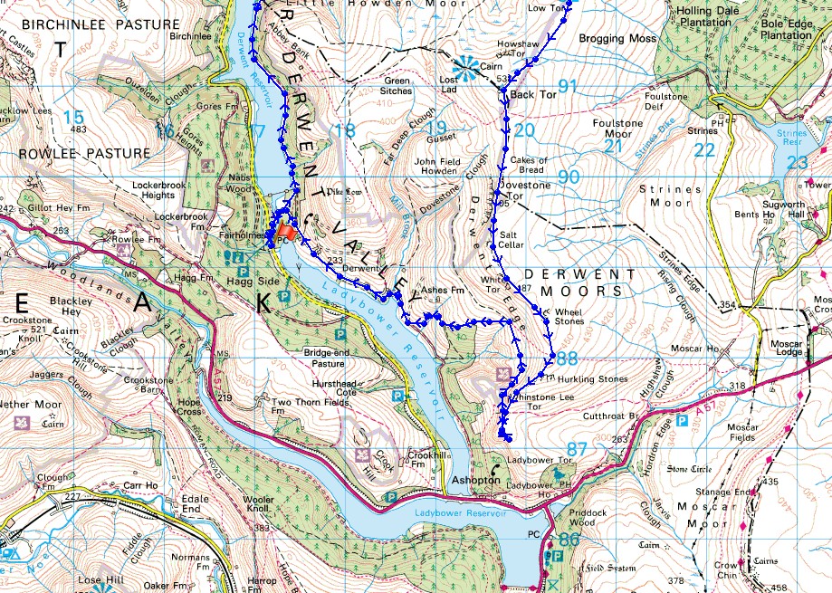
Route description: Fairholmes-Upper Derwent Reservoir-Hey Bank-Nether Hey-Wet Stones-Howden Edge-Wilfrey Edge-Margery Hill-Wilfrey Edge-High Stones-Round Hill-Cartledge Stones Ridge-Back Tor-Derwent Edge-Grindle Clough-Derwent-Fairholmes
For the third year in a row I've found myself doing a walk on the moorland above the upper Derwent Valley to Back Tor and Derwent Edge during the first half of August. It's no coincidence. As the heather starts to bloom at this time of year I look forward to walking in places that show off the fantastic display of colour that transforms the moors. It can be tricky judging when to go though. When the heather starts to flower will vary from year to year. Fortunately there are a few local moors that I can look at to see how its doing. I think compared to last year it's probably about the same when I visited a little later on the 15th August but in 2014 it was earlier. Then I was on Derwent Edge on the 9th August and all the heather was out compared to a mixture this year of patches in full bloom and just opening. Hopefully that means I've got a few weeks of enjoying the display to come. I thought the route I did last year was long but compared to this years apparently not. This was definitely the longest route that I'd attempt to do up there though. I'd used the Dambusters bus last year so that I could start further up the valley and without it the route wouldn't have been practical. I had lovely weather for spending the day up the moors. A beautiful summers day, sunny spells and warm sunshine, with a strong breeze to keep me cool.
After parking in the car park at Fairholmes I set off by heading north to the Derwent dam and then along the track by the eastern shore of Upper Derwent Reservoir. Just after crossing Abbey Brook and before the Howden Dam is reached a track heads uphill on the right. I took this and made my way up onto the moor of Nether Hey and to the Wet Stones on the southern end of Howden Edge. I then followed the clear path north along Howden Edge to Wilfrey Edge and the trig point on Margery Hill. After taking a break for lunch here I retraced my steps back south to High Stones on Howden Edge. This was where the clear paths were left behind. There were occasional trods to follow as I made my way east aiming for Round Hill and the path south along Cartledge Stones Ridge. Quite a bit of heather bashing was involved and at least I didn't make the mistake that I did last year of getting on the wrong side of Cartledge Brook. Once on Cartledge Stones Ridge a clear path, flagged in places, took me south to eventually arrive at the trig point on Back Tor. I have no hesitation in saying that the next bit of the walk was my favourite. Derwent Edge was followed south, past Dovestone Tor, the Salt Cellar, White Tor and Whinstone Lee Tor to finish on Lead Hill. To head back to Fairholmes I needed to retrace my steps a short distance to pick up the bridleway for Derwent. Once down by the Ladybower Reservoir I followed the road north back to Fairholmes.
Total ascent: 2373 ft
OS map used: OL1 - The Peak District, Dark Peak area
Time taken: 8.5 hrs
Route description: Fairholmes-Upper Derwent Reservoir-Hey Bank-Nether Hey-Wet Stones-Howden Edge-Wilfrey Edge-Margery Hill-Wilfrey Edge-High Stones-Round Hill-Cartledge Stones Ridge-Back Tor-Derwent Edge-Grindle Clough-Derwent-Fairholmes
For the third year in a row I've found myself doing a walk on the moorland above the upper Derwent Valley to Back Tor and Derwent Edge during the first half of August. It's no coincidence. As the heather starts to bloom at this time of year I look forward to walking in places that show off the fantastic display of colour that transforms the moors. It can be tricky judging when to go though. When the heather starts to flower will vary from year to year. Fortunately there are a few local moors that I can look at to see how its doing. I think compared to last year it's probably about the same when I visited a little later on the 15th August but in 2014 it was earlier. Then I was on Derwent Edge on the 9th August and all the heather was out compared to a mixture this year of patches in full bloom and just opening. Hopefully that means I've got a few weeks of enjoying the display to come. I thought the route I did last year was long but compared to this years apparently not. This was definitely the longest route that I'd attempt to do up there though. I'd used the Dambusters bus last year so that I could start further up the valley and without it the route wouldn't have been practical. I had lovely weather for spending the day up the moors. A beautiful summers day, sunny spells and warm sunshine, with a strong breeze to keep me cool.
After parking in the car park at Fairholmes I set off by heading north to the Derwent dam and then along the track by the eastern shore of Upper Derwent Reservoir. Just after crossing Abbey Brook and before the Howden Dam is reached a track heads uphill on the right. I took this and made my way up onto the moor of Nether Hey and to the Wet Stones on the southern end of Howden Edge. I then followed the clear path north along Howden Edge to Wilfrey Edge and the trig point on Margery Hill. After taking a break for lunch here I retraced my steps back south to High Stones on Howden Edge. This was where the clear paths were left behind. There were occasional trods to follow as I made my way east aiming for Round Hill and the path south along Cartledge Stones Ridge. Quite a bit of heather bashing was involved and at least I didn't make the mistake that I did last year of getting on the wrong side of Cartledge Brook. Once on Cartledge Stones Ridge a clear path, flagged in places, took me south to eventually arrive at the trig point on Back Tor. I have no hesitation in saying that the next bit of the walk was my favourite. Derwent Edge was followed south, past Dovestone Tor, the Salt Cellar, White Tor and Whinstone Lee Tor to finish on Lead Hill. To head back to Fairholmes I needed to retrace my steps a short distance to pick up the bridleway for Derwent. Once down by the Ladybower Reservoir I followed the road north back to Fairholmes.
Route map
© Crown copyright. All rights reserved. License number PU 100034184.
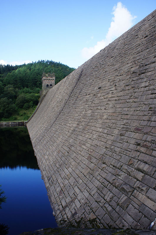
By the Derwent dam
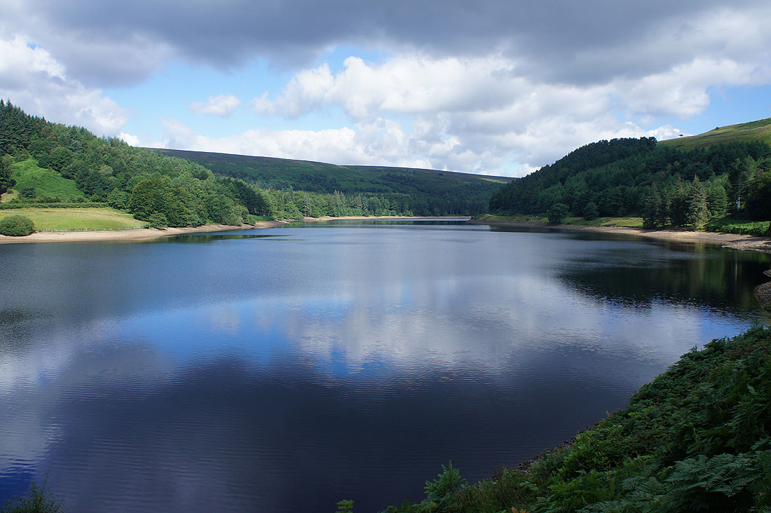
A tranquil Upper Derwent Reservoir
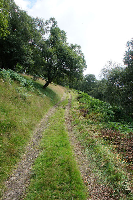
Heading uphill at last on the track to Nether Hey
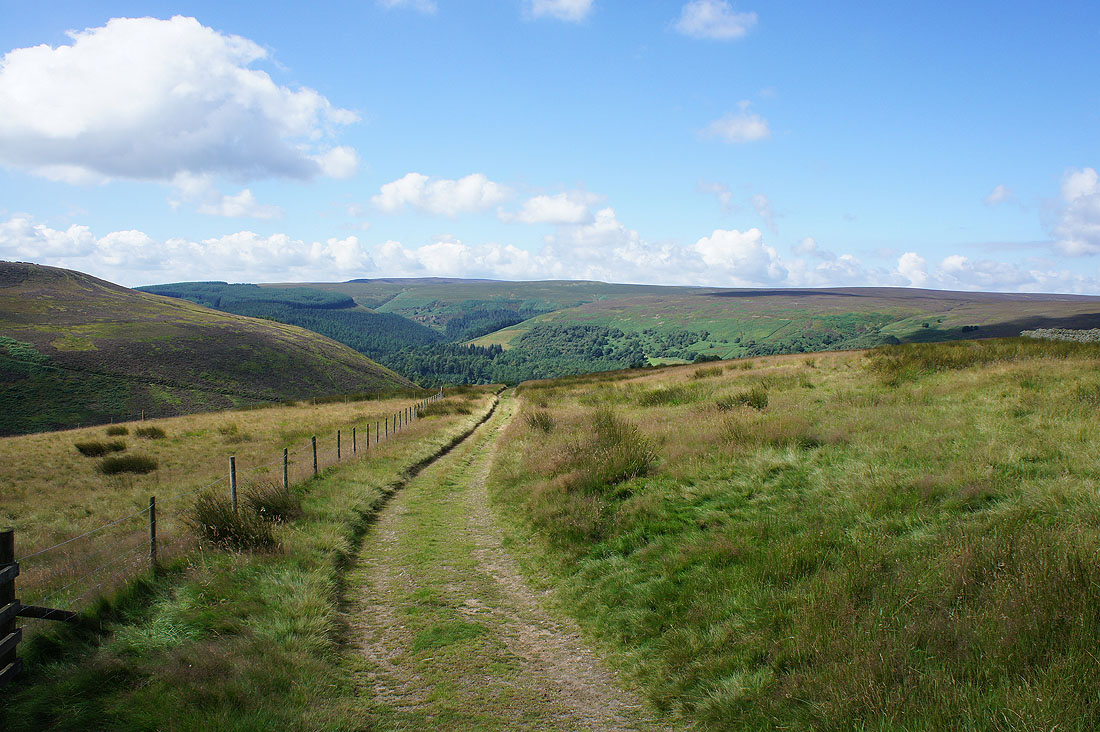
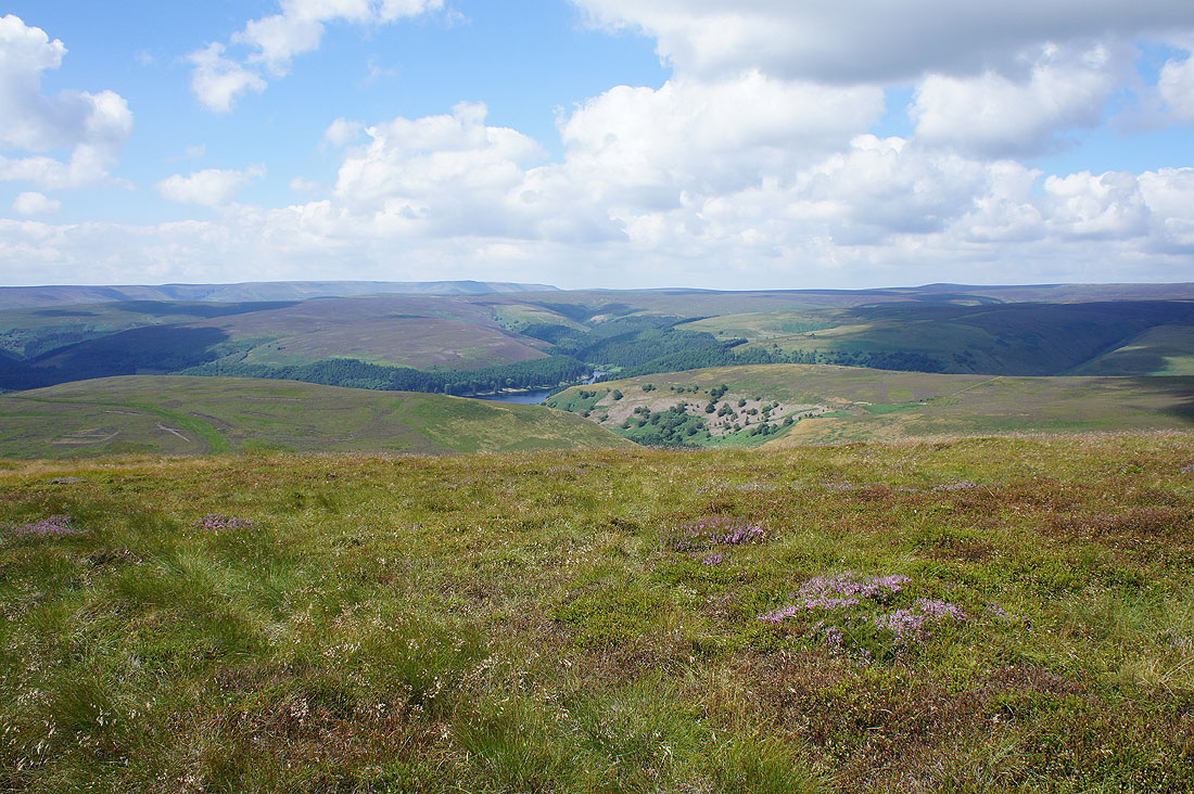
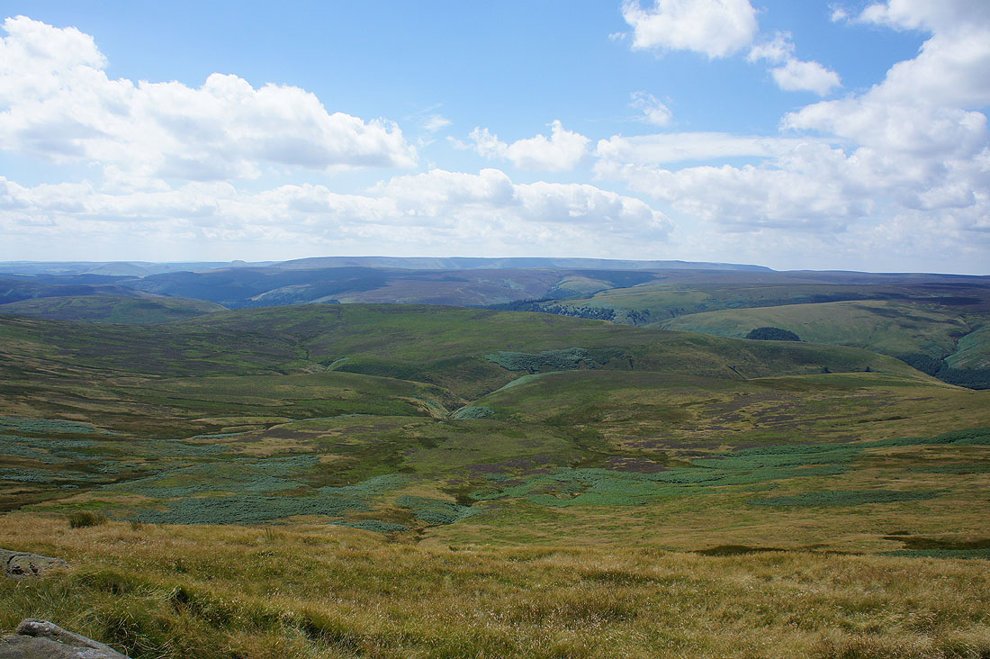
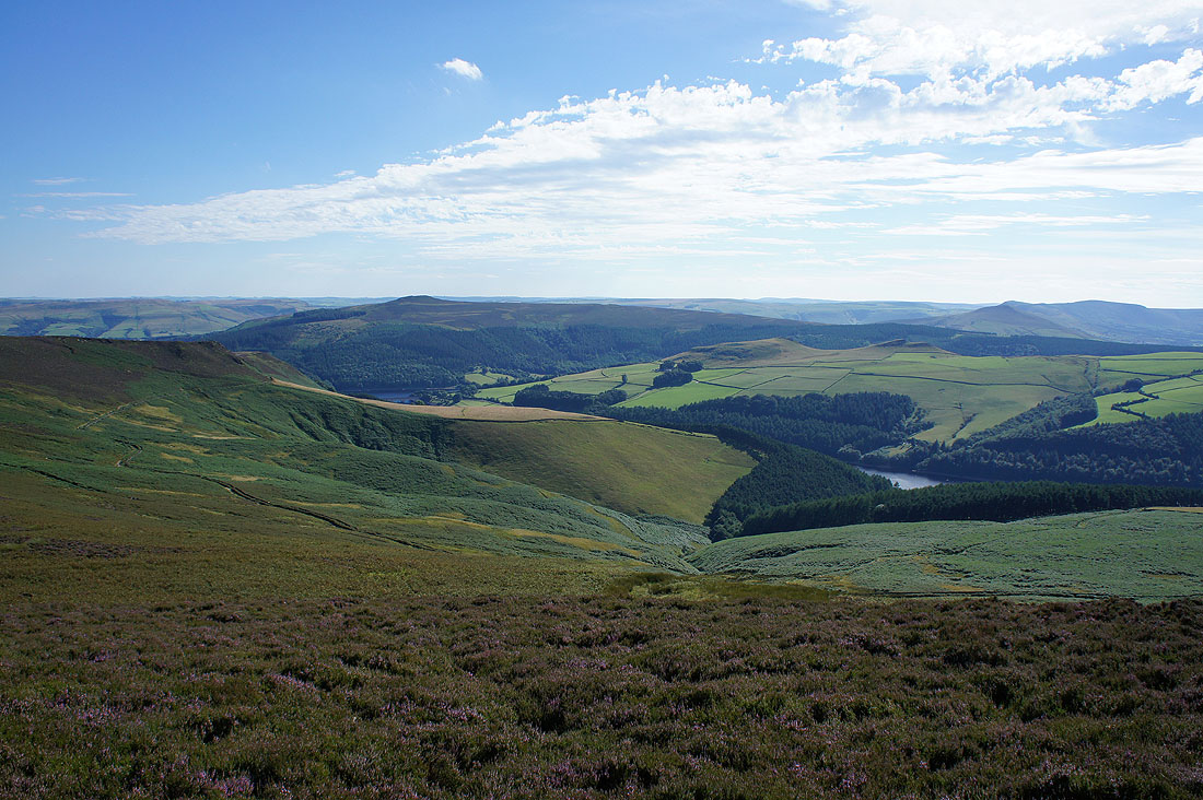
Looking back to the moorland of Rowlee Pasture on the other side of the Derwent Valley
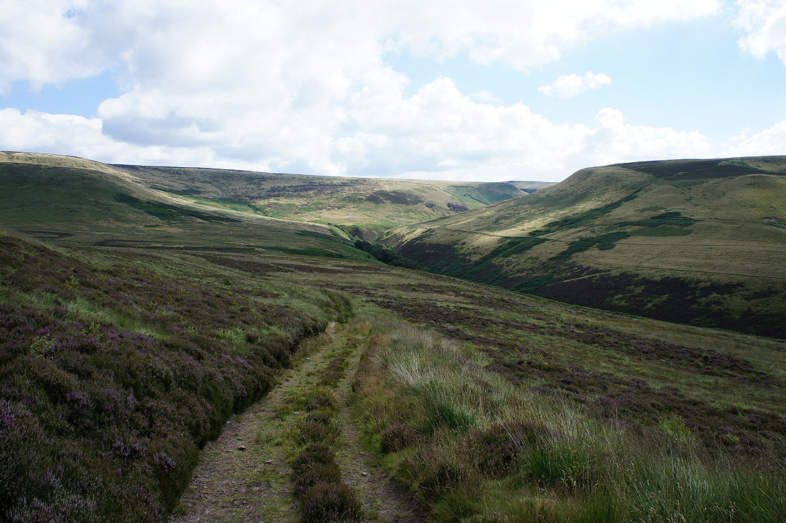
Abbey Clough ahead and I can see the path on its other side that I've used a couple of times for walks to Back Tor and Derwent Edge. The track now curves round to the left and heads up towards Howden Edge.
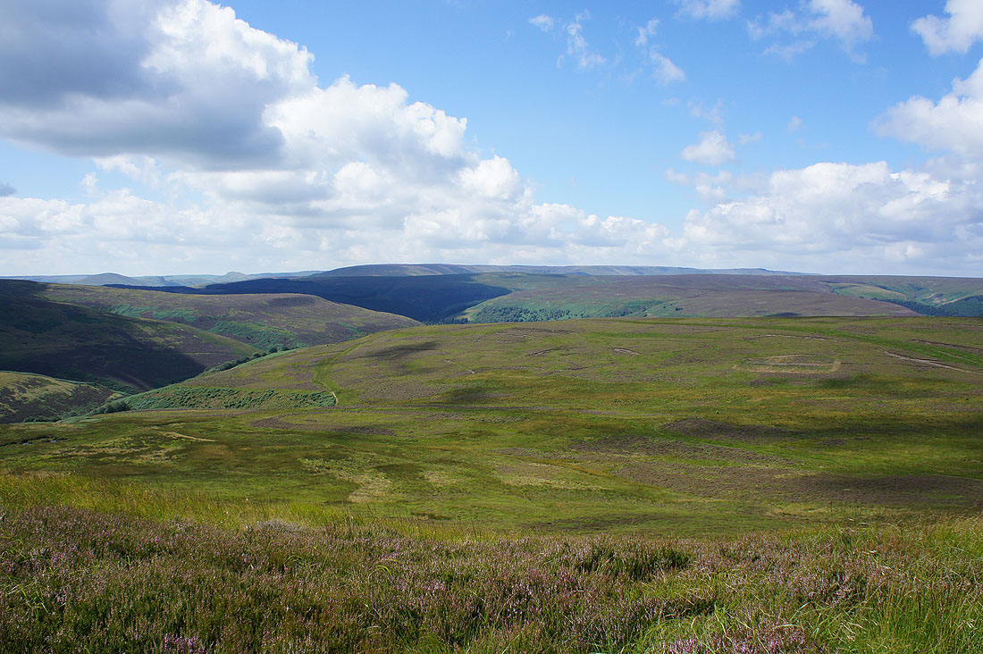
As I gain height the view opens out to include Kinder Scout beyond Rowlee Pasture
and Westend Moor and a bit of Howden Reservoir
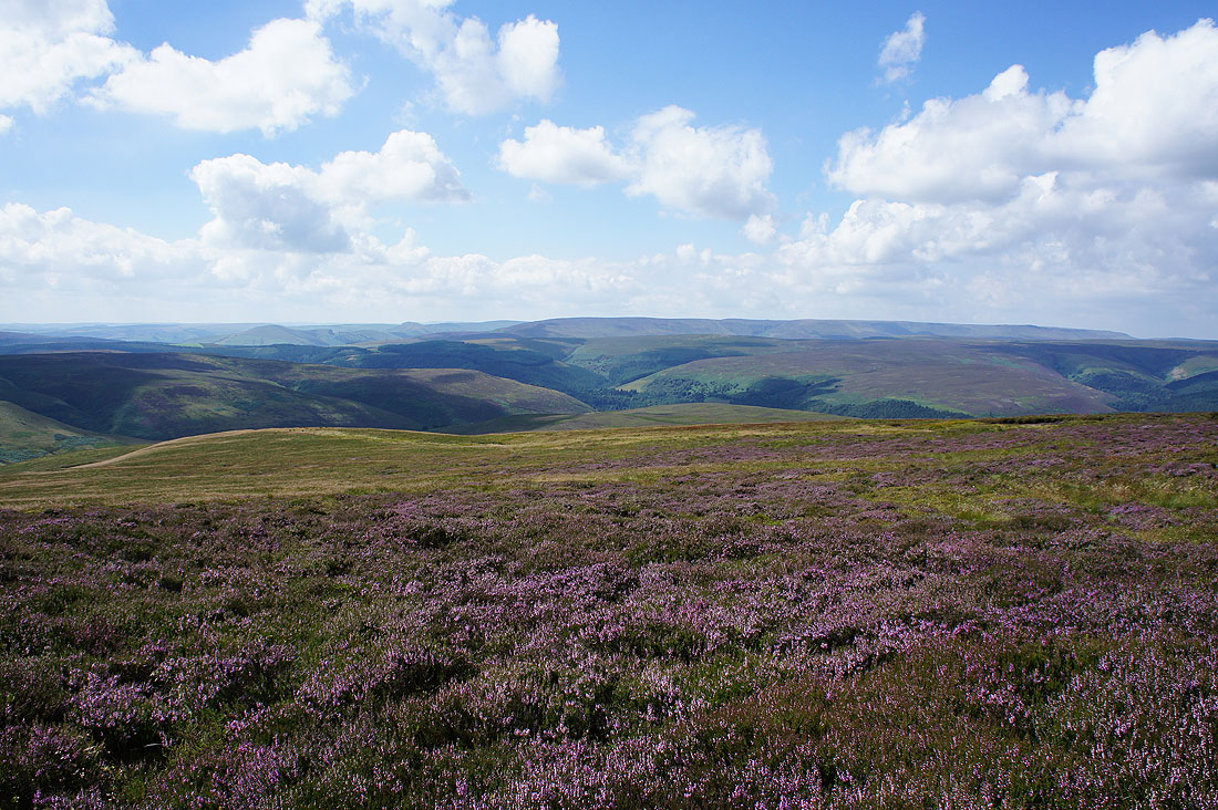
Sorry. Had to include a shot with some heather in the foreground. I can see the Great Ridge from Lose Hill to Mam Tor now, to the left of Kinder Scout.
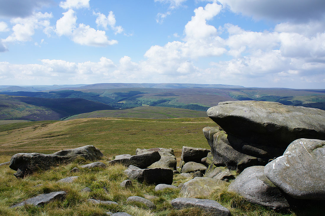
Kinder Scout in the distance from the first stop of the day on Wet Stones, at the southern end of Howden Edge
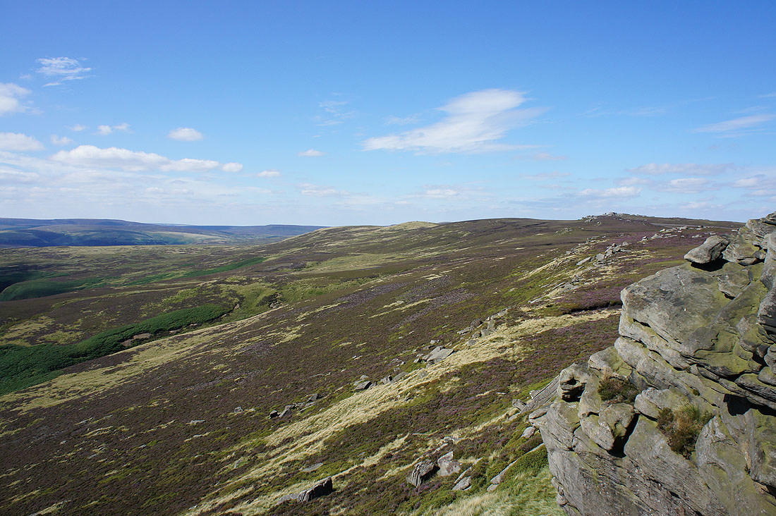
and looking across a hidden Abbey Clough to the rocky crest of Back Tor
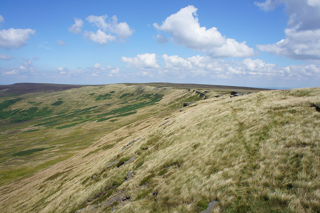
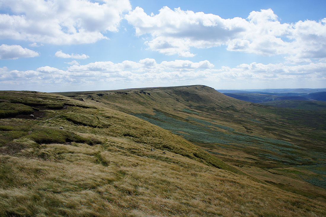
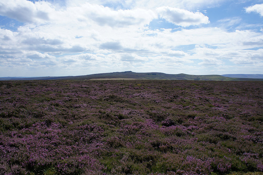
Heading north along Howden Edge to Wilfrey Edge
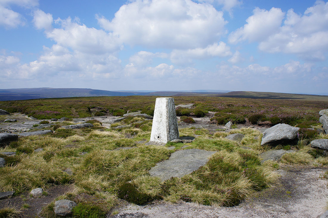
The trig point on Margery Hill and its time for lunch
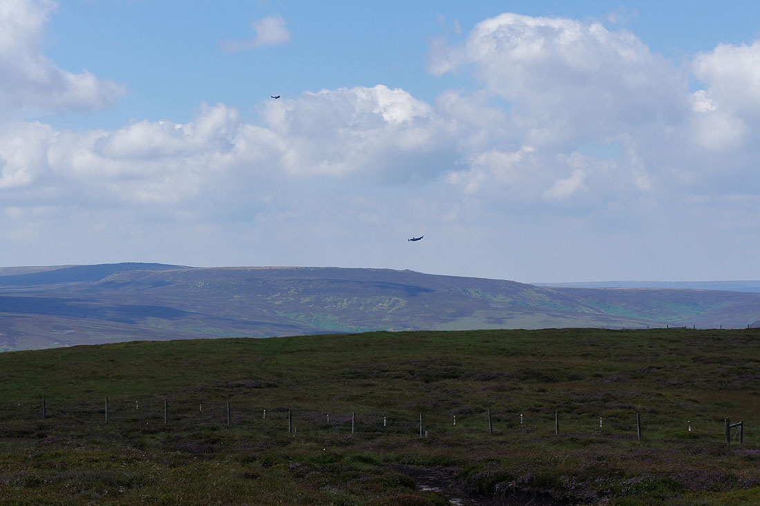
While I was sat down I heard, then saw these planes flying up the Derwent Valley. I think the lower one may be a Lancaster bomber, though I stand to be corrected.
Kinder Scout in the distance from Margery Hill
and again as I return to Wilfrey Edge
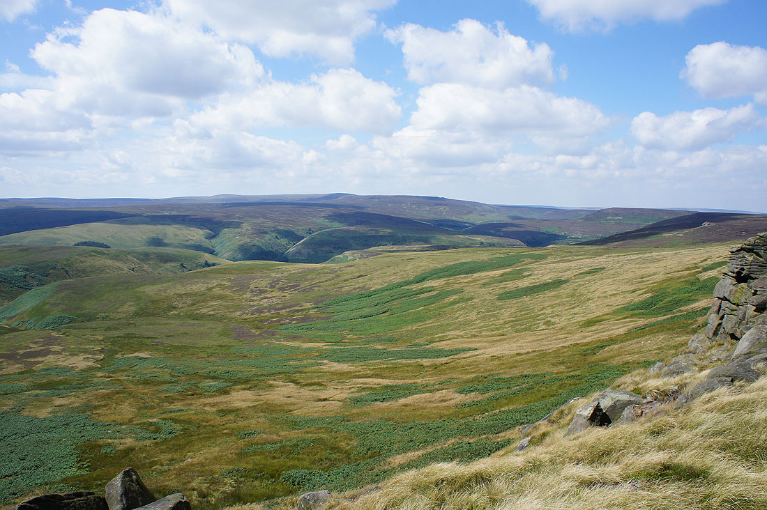
Looking south to Howden Edge
and west across the top of the Derwent Valley to Bleaklow
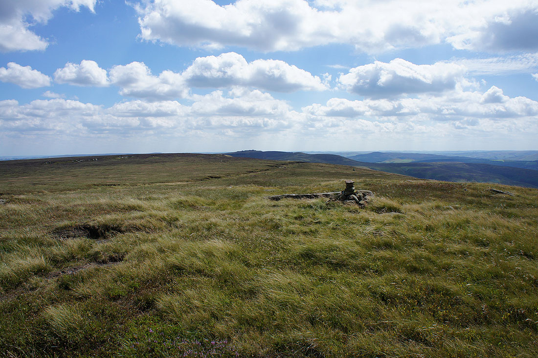
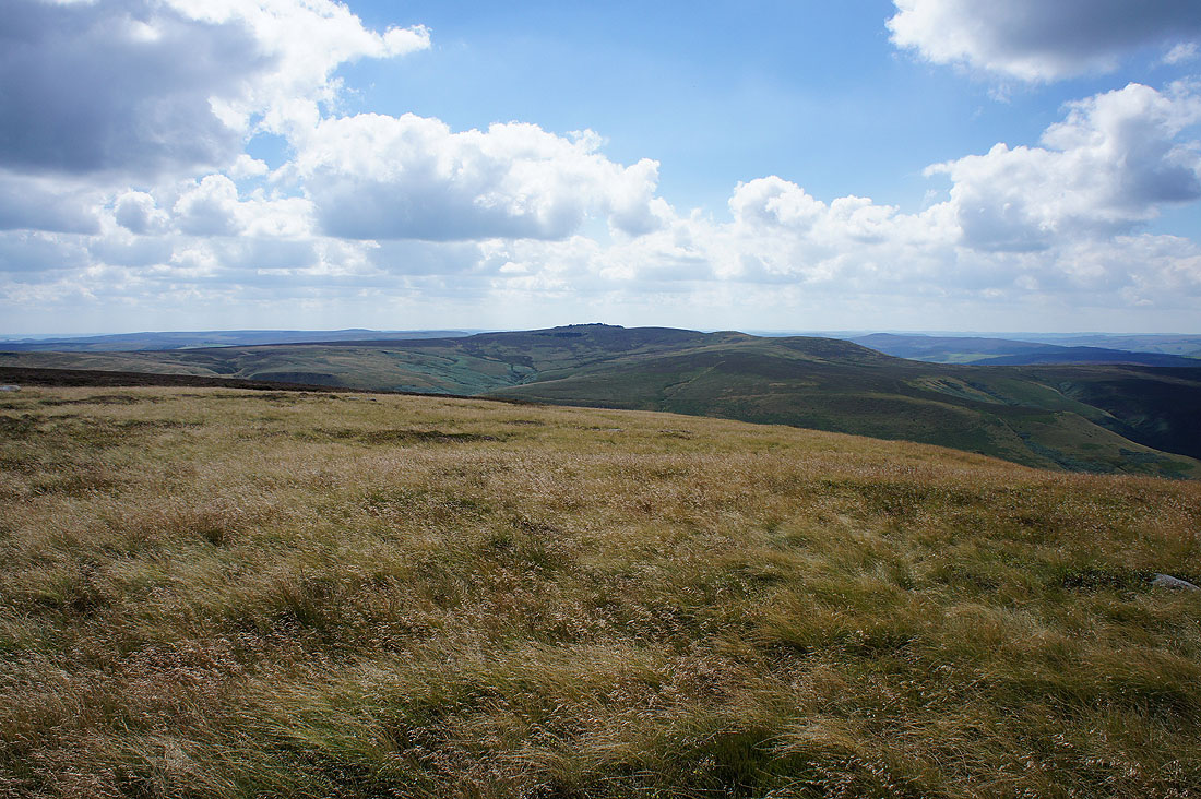
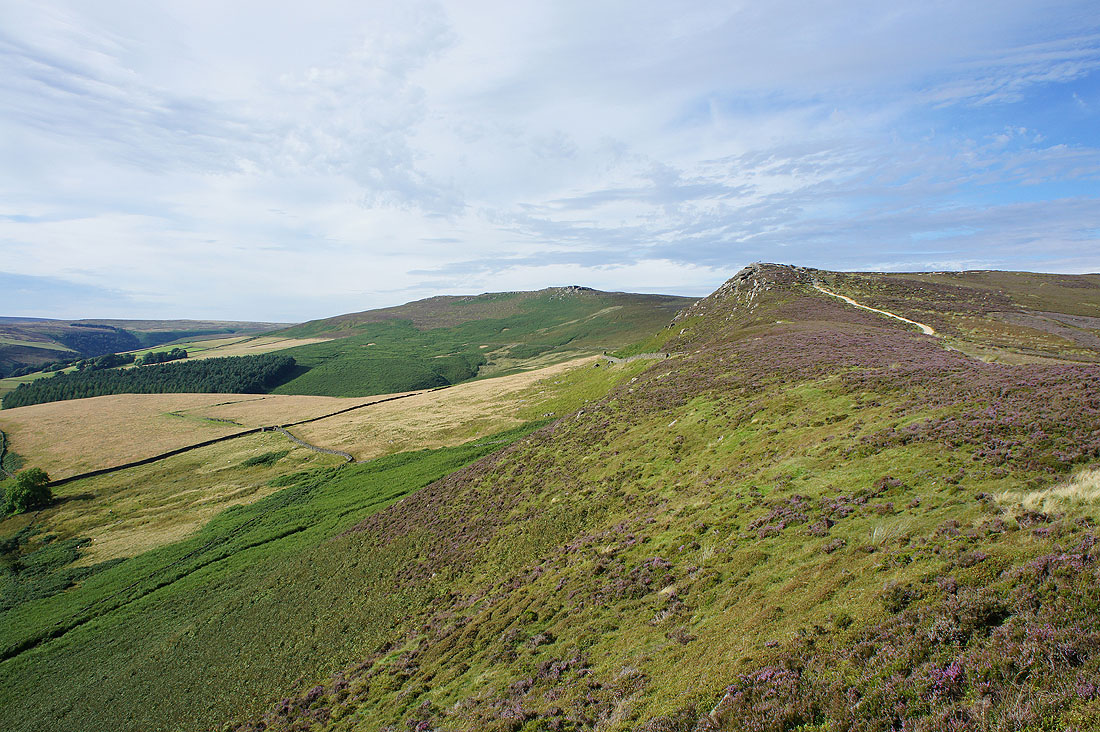
I've made it back to the little cairn on High Stones and that's Back Tor in the distance. Now to try and get there. It's not the easiest of routes.
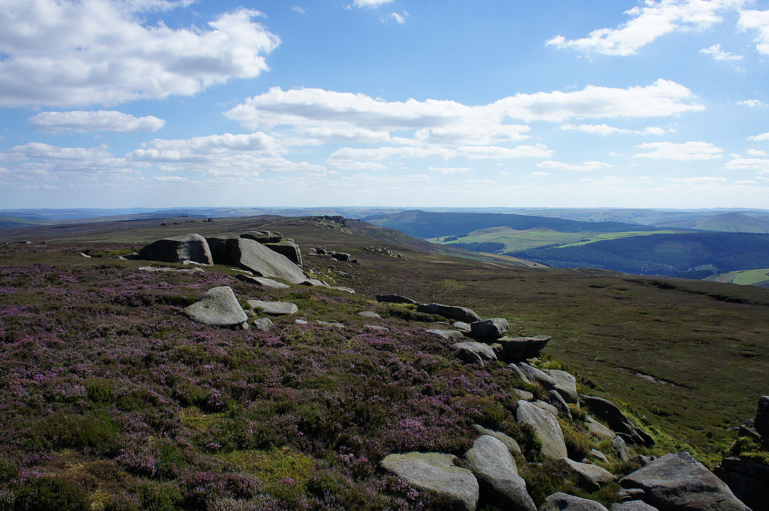
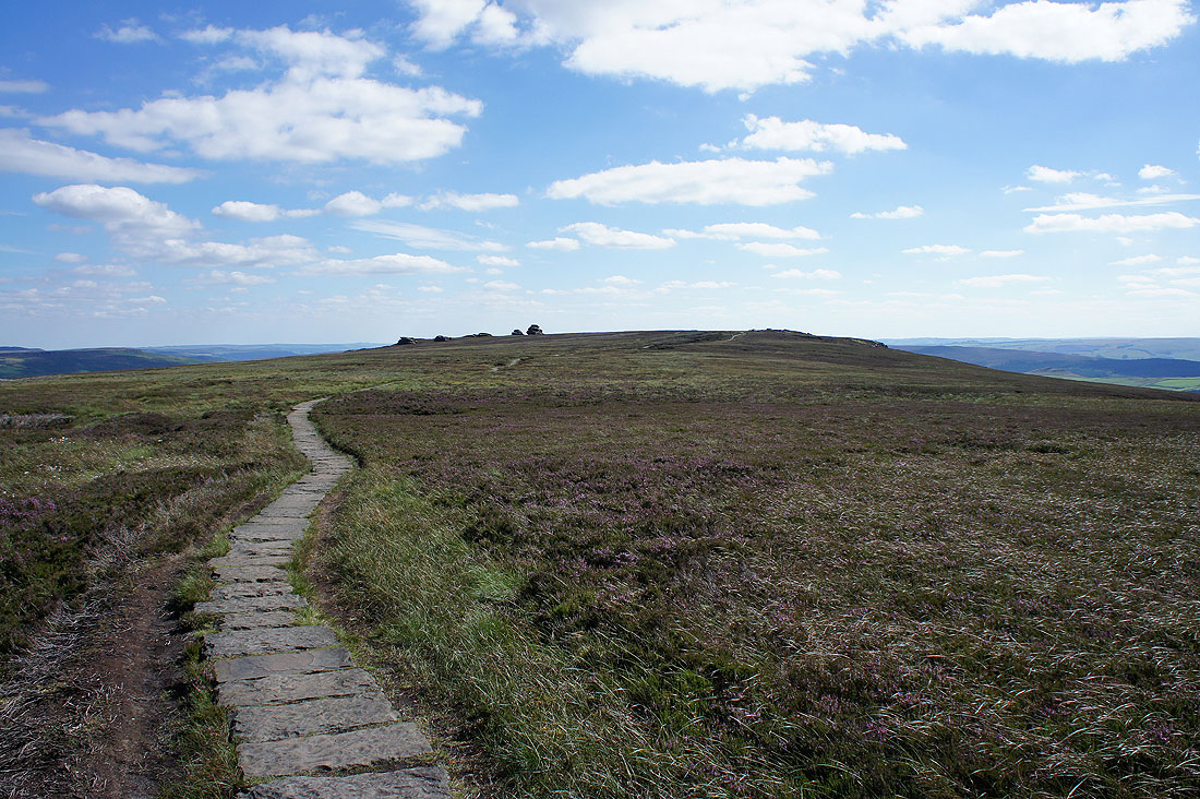
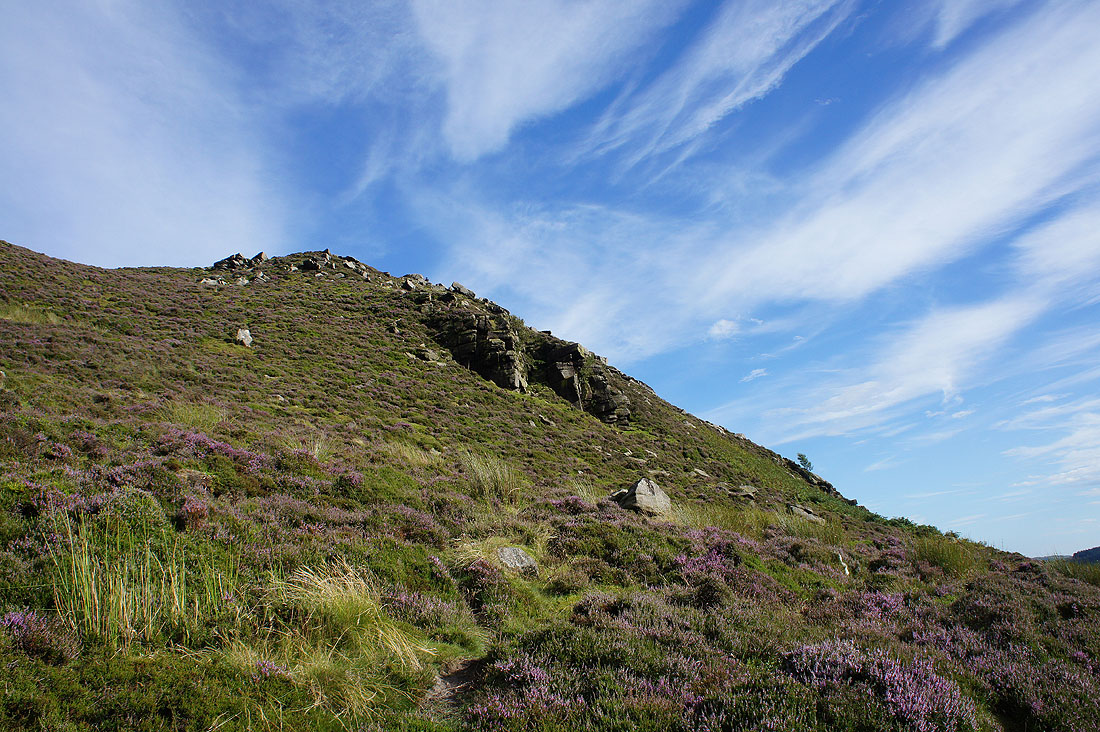
Some time later and I'm on the path along Cartledge Stones Ridge. Back Tor across a carpet of heather.
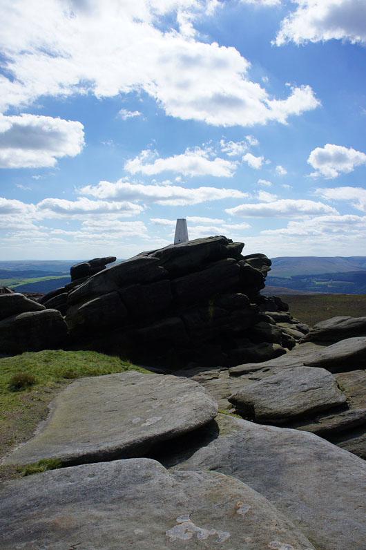
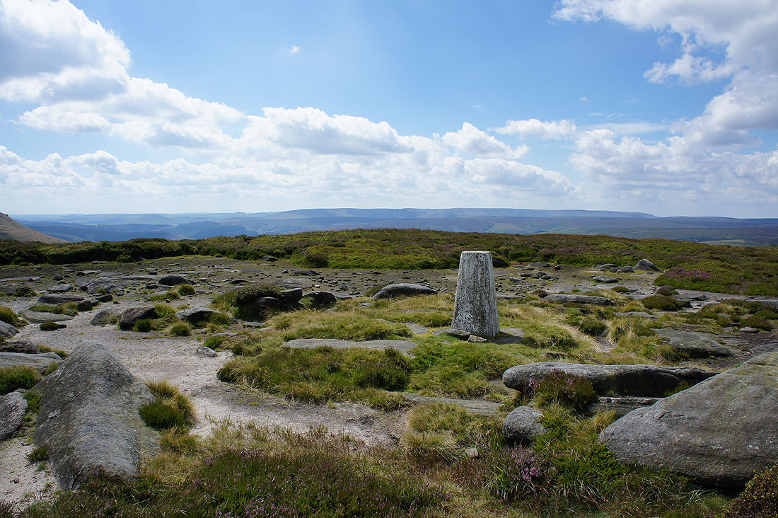
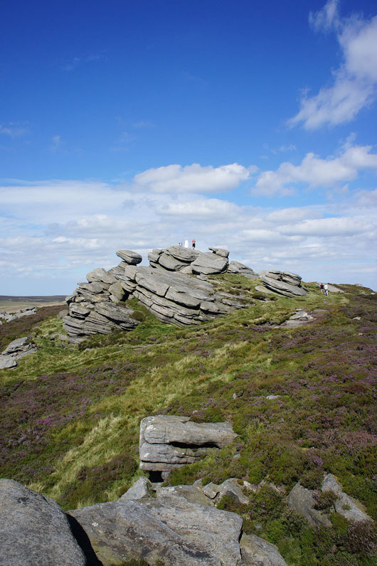
Finally on Back Tor and I've got my favourite part of the walk to come, Derwent Edge
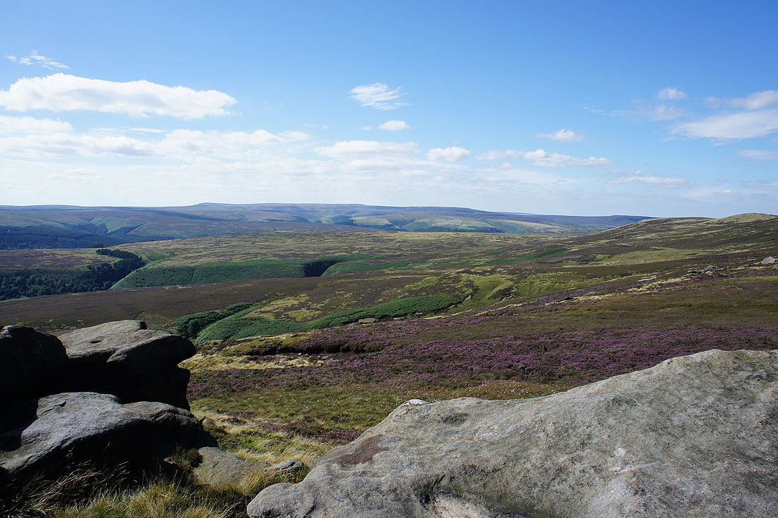
The view from Back Tor. Bleaklow to the northwest and the obvious path is to Lost Lad.
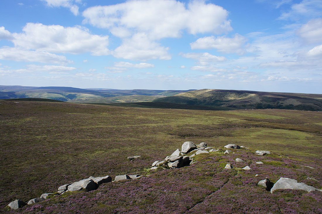
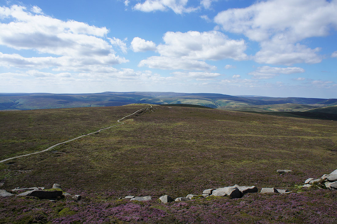
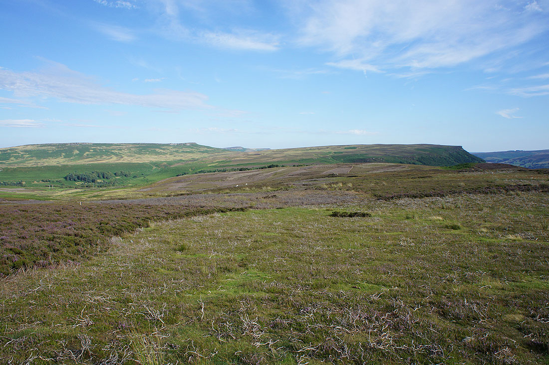
To the north, Black Hill way in the distance, then the Howden Moors and Margery Hill
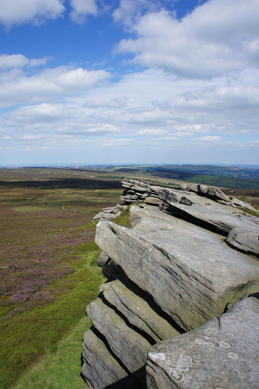
I do like the summit crags
The city of Sheffield to the east
Looking south down Derwent Edge to Win Hill
The Great Ridge, the Vale of Edale and Kinder Scout
Looking back to the summit..
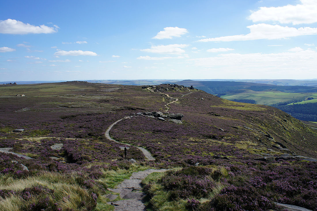
..as I set off down Derwent Edge
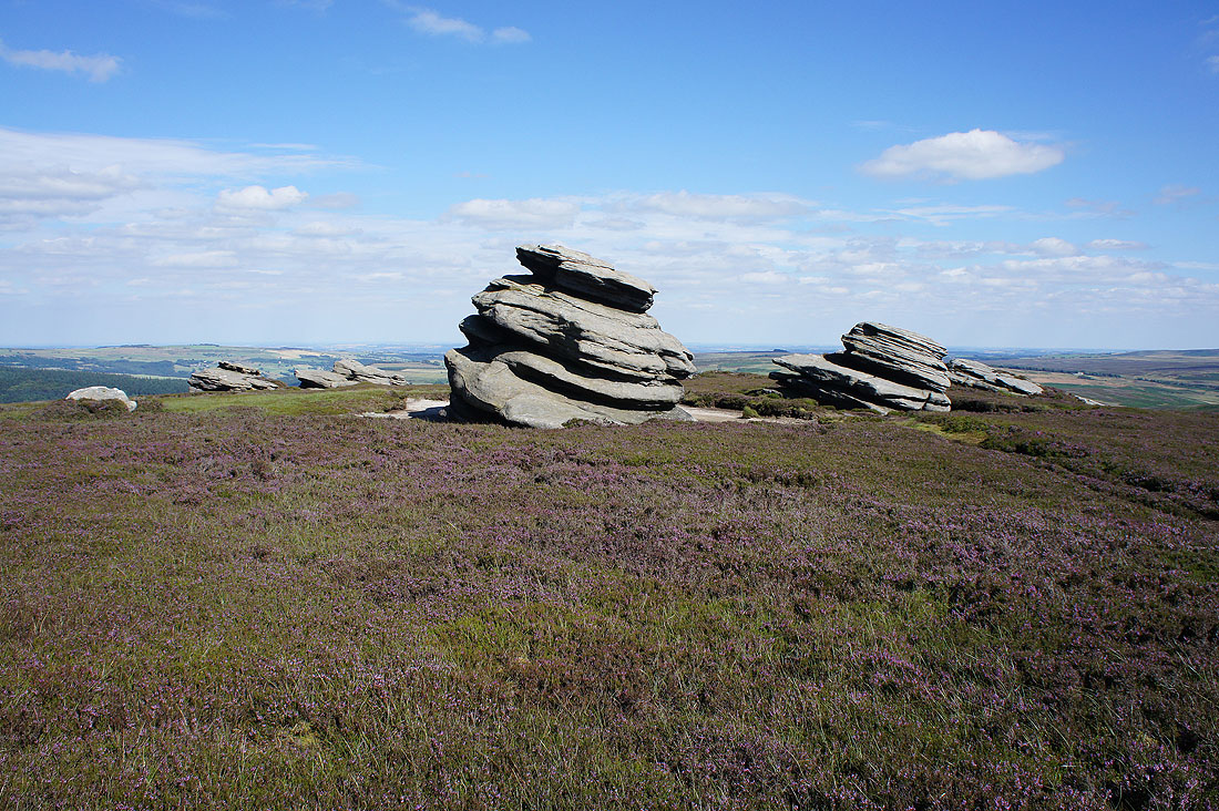
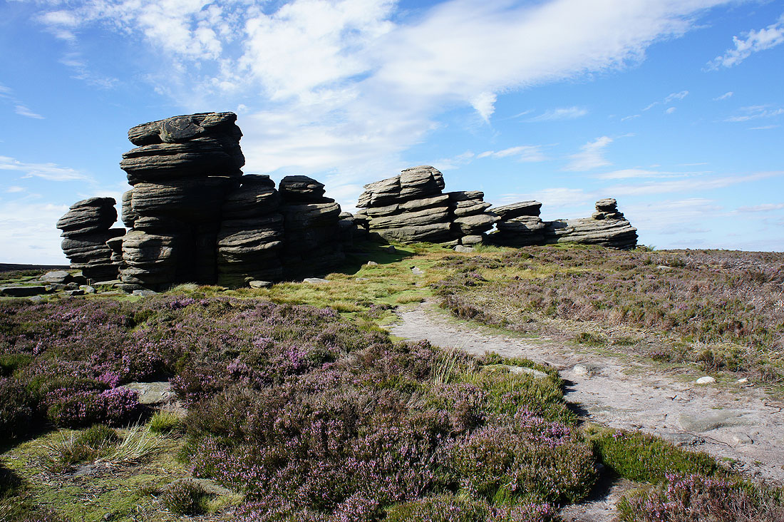
The Cakes of Bread
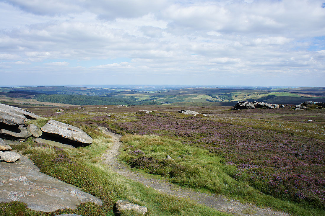
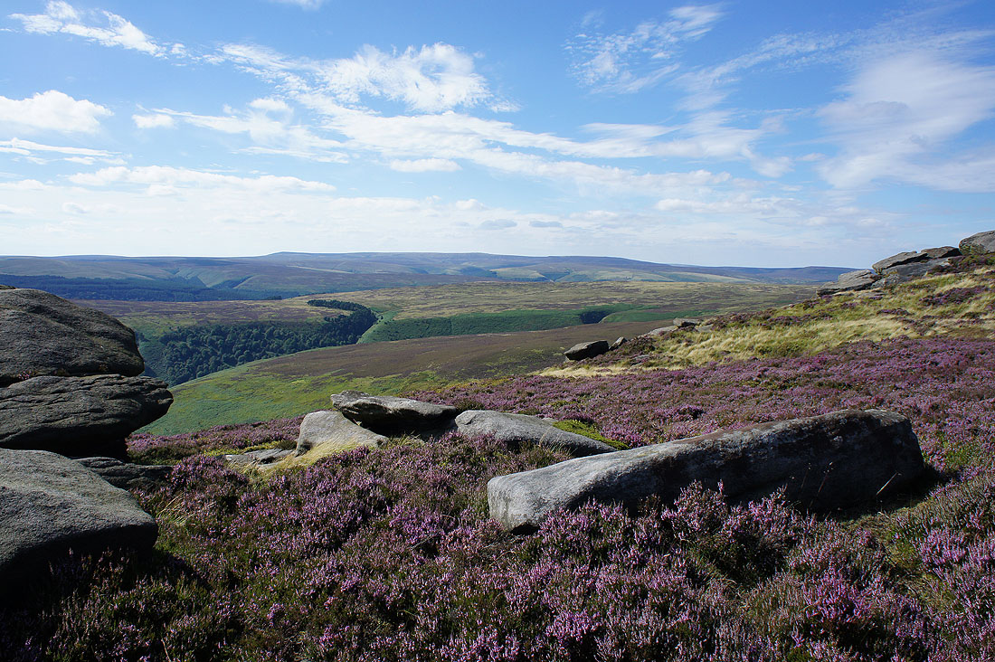
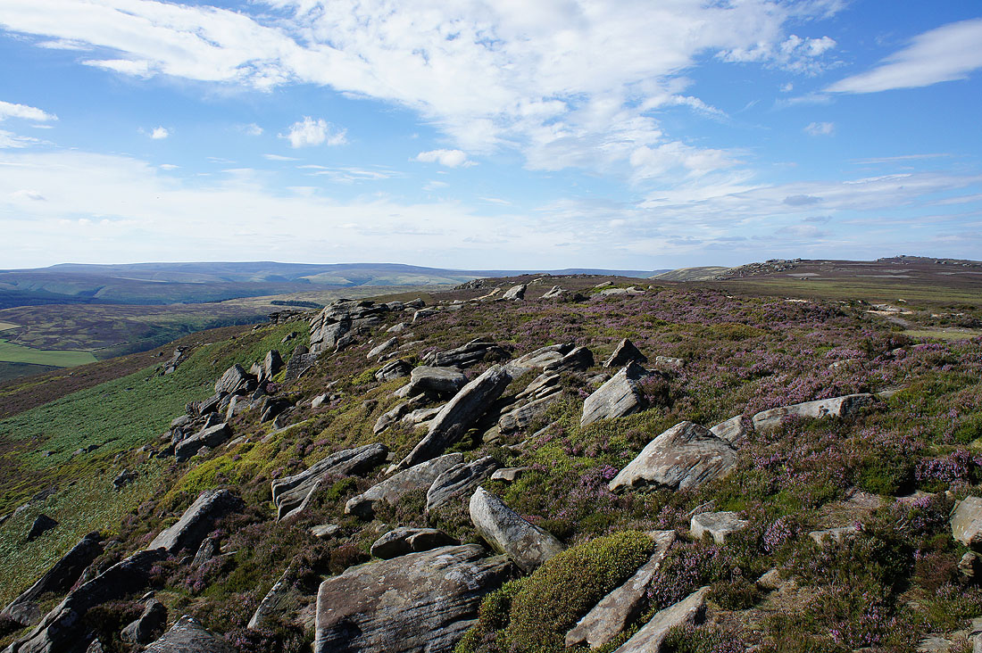
There are lots of opportunities for taking photos amongst the boulders and heather on Derwent Edge. Westend Moor and Bleaklow in the distance.
On Dovestone Tor. Lost Lad and Back Tor up on the right.
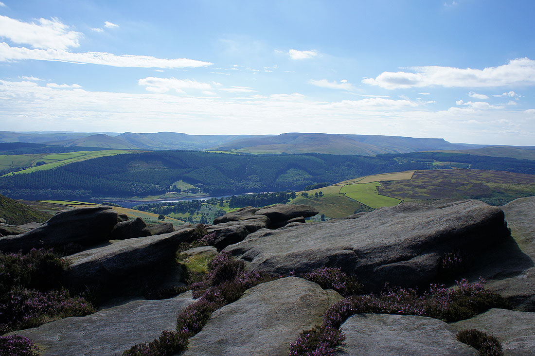
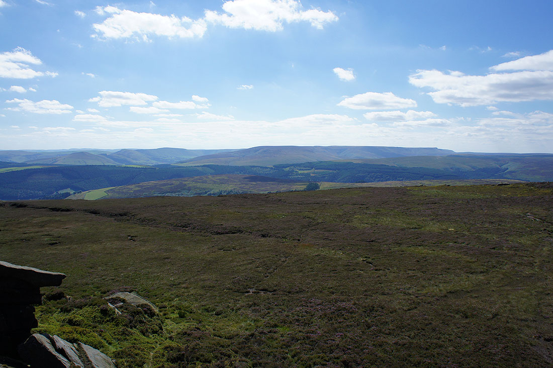
The plantations on Hagg Side, a bit of Ladybower Reservoir, and the Great Ridge, the Vale of Edale and Kinder Scout in the distance
As I look down Derwent Edge the next landmark of the Salt Cellar is easy to spot
Bleaklow across more boulders and heather
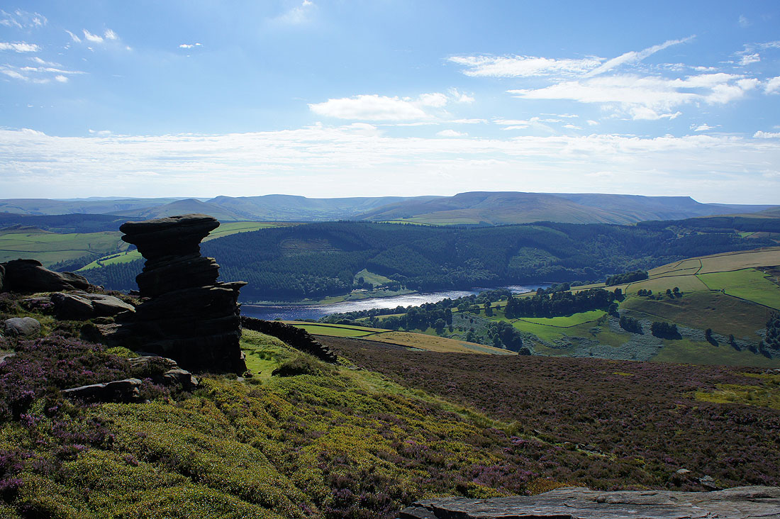
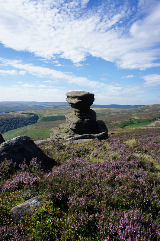
Great views from the Salt Cellar. I think it might be my favourite gritstone tor in the Peak District.
It's a beautiful afternoon. Blue skies, heather and boulders on White Tor.
Win Hill and Grainfoot Clough below
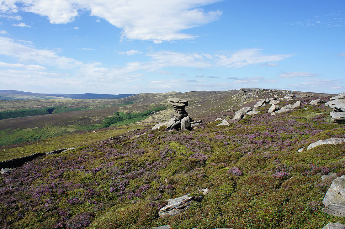
The Wheel Stones
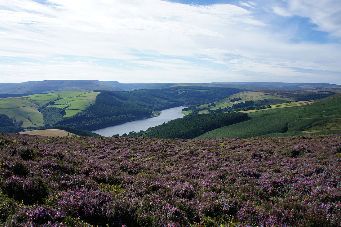
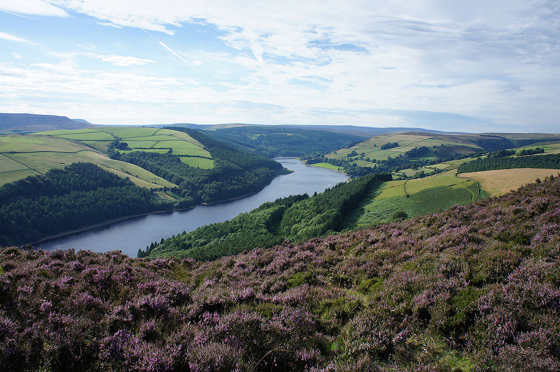
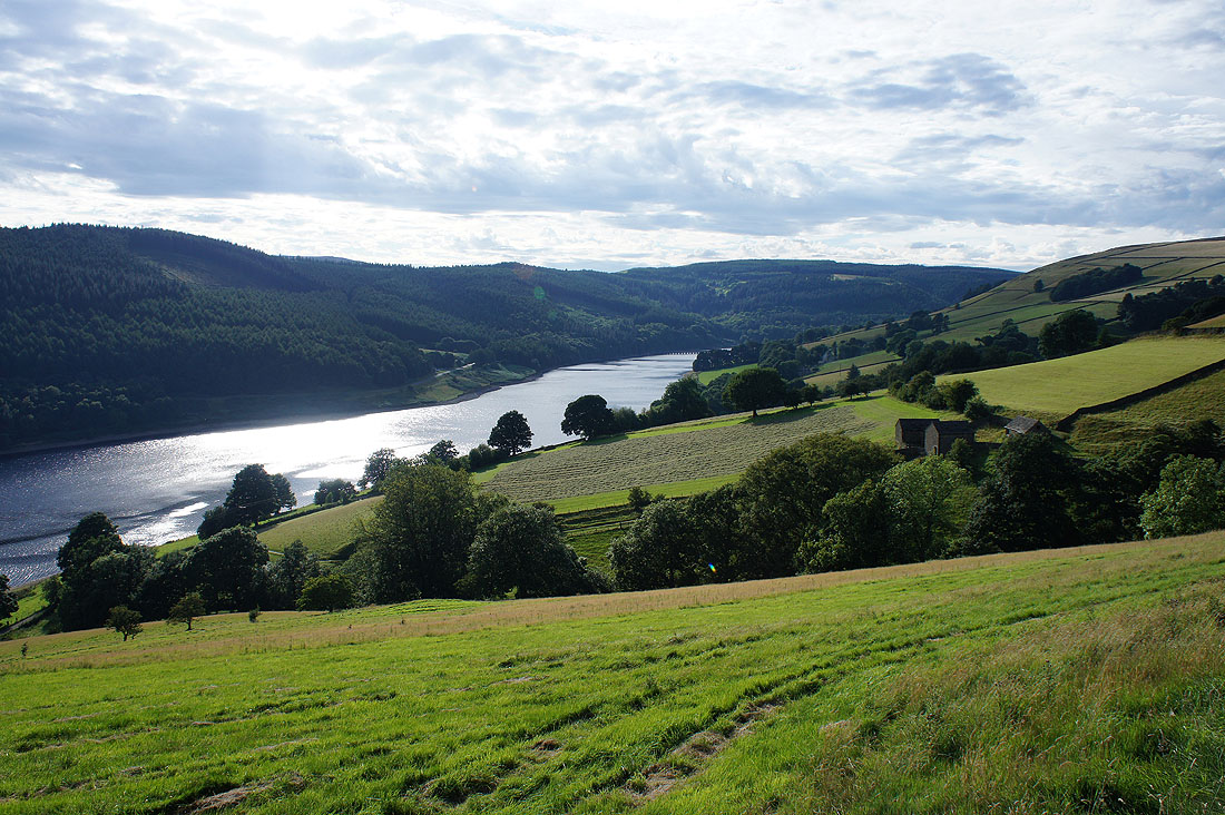
As I approach the southern end of Derwent Edge I start to get an improving view up the length of Ladybower Reservoir
and at the southern end of Derwent Edge on Lead Hill. Bamford Edge above the Ladybower dam.
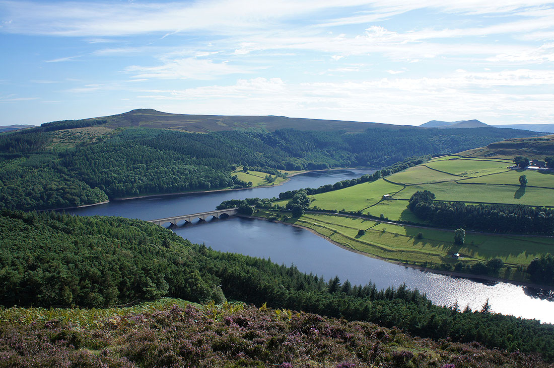
Win Hill, the Ashopton viaduct and Ladybower Reservoir
A great view up the Ladybower Reservoir
Looking back up Derwent Edge to White Tor and Whinstone Lee Tor
Stanage Edge and Bamford Moor
Passing beneath Whinstone Lee Tor
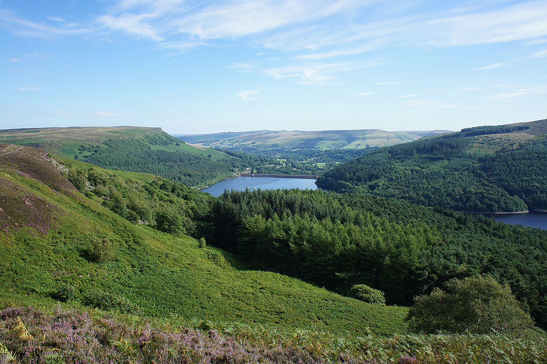
Ladybower Reservoir as I follow the bridleway down to Derwent
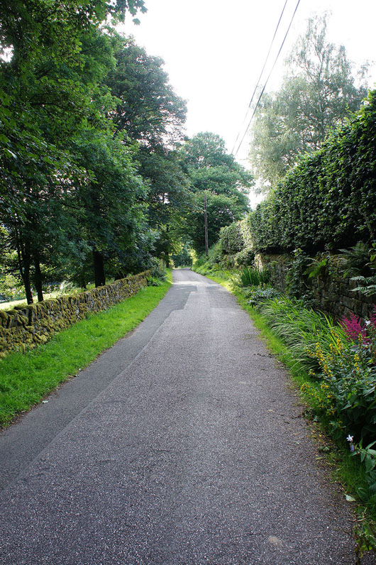
After a long day the walk along the road back to Fairholmes is something that I don't look forward to