6th August 2023 - Pinhaw Beacon
Walk Details
Distance walked: 15.5 miles
Total ascent: 2222 ft
OS map used: OL21 - South Pennines
Time taken: 7 hrs
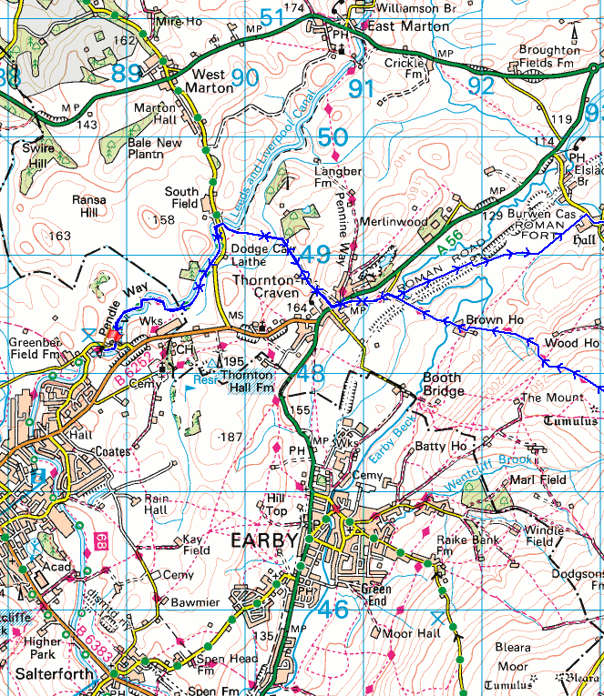
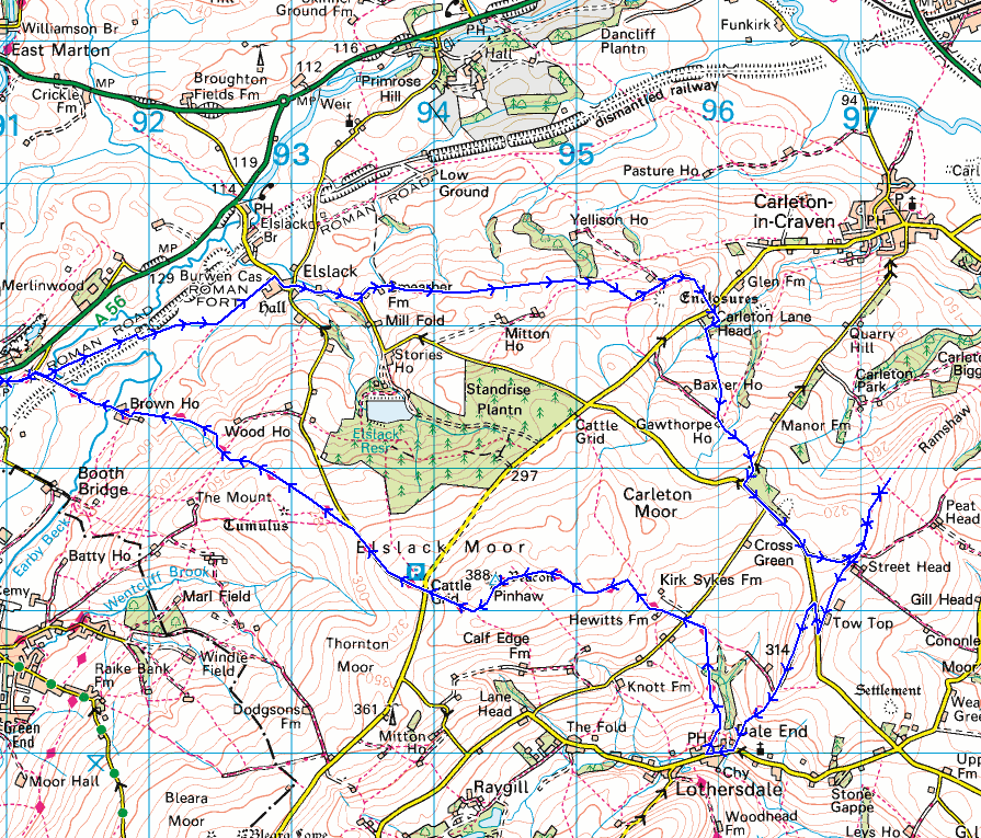
Route description: Greenberfield Locks-Leeds and Liverpool Canal-Stockbridge Lane-Thornton in Craven-Old Road-Elslack-Moor Lane-Smearber Farm-Higher Scarcliff-Carleton Lane-Lane Head Farm-Gawthorpe House-Park Lane-Babyhouse Lane-Burnt Hill-Street Head Farm-Tow Top Farm-Babyhouse Lane-Tow Top Lane-Lothersdale-Pennine Way-White Hill Lane-Pennine Way-Pinhaw Beacon-Pennine Way-Thornton in Craven-Stockbridge Lane-Leeds and Liverpool Canal-Greenberfield Locks
I stayed local for my walk this weekend as I drove the short distance north to Greenberfield Locks on the Leeds and Liverpool Canal to do a route up to Pinhaw Beacon. It's a hill that I walked to from home a few times during the COVID-19 lockdowns, but I couldn't do that today as I planned on taking in the moorland to its north and east, which included some new footpaths and bridleways, and ones that I hadn't walked since my first visit to Pinhaw Beacon eleven years ago. Most of the route was easy to follow, except for when I crossed Carleton Lane to take the footpath through Lane Head Farm. Working out which way it went wasn't that simple with lots of outbuildings that it could go round, but after a few minutes I discovered that it went through a small gate into woodland at the back, and then right to a bridge over Redfirth Gill. I had mostly cloudy weather for this walk with a few sunny spells every now and then, and it did stay dry. Although when I was on Pinhaw Beacon seeing threatening clouds out to the west I wasn't sure that I would.
After parking at the Greenberfield Locks picnic site I took to the towpath by the Leeds and Liverpool Canal and followed it north to and just past South Field Bridge, where at a left bend in the canal I took a public footpath on the right. This took me east across Castleber Hill and south to the end of Stockbridge Lane, which I walked along into Thornton-in-Craven. After crossing the A56 I walked down Old Road, under a bridge, and briefly onto the track to Brown House Farm, from where I took a footpath east across fields to the hamlet of Elslack. I then walked through Elslack and up Moor Lane until I reached a footpath on the left up a track to Smearber Farm, from where I followed a footpath east across fields until I reached access land and a path that took me to Higher Scarcliff. I walked down a track from here to Carleton Lane, which I crossed, then took a footpath opposite through Lane Head Farm and up through fields to reach a bridleway at Gawthorpe House, then took the bridleway up to Park Lane. After walking to the top of Park Lane I turned left and walked east along Babyhouse Lane until I reached a bridleway on the left to Street Head Farm, which I took, and then a footpath onto Burnt Hill. I took in the view from Burnt Hill, then returned to Street Head Farm and followed a footpath south across fields to Tow Top Farm and Babyhouse Lane. After a brief walk north along Babyhouse Lane I took the bridleway of Tow Top Lane and walked down it into the village of Lothersdale (a bench at the bottom of the bridleway was a good place to stop for lunch). I left Lothersdale by taking the Pennine Way and following it north up to White Hill Lane, across it, and then up to the summit of Pinhaw Beacon. Once I'd taken in the view I kept on the Pennine Way and took it west down to West Road, then down Clogger Lane, and then down to Thornton-in-Craven. From Thornton-in-Craven I retraced my steps back to the Greenberfield Locks picnic site.
Total ascent: 2222 ft
OS map used: OL21 - South Pennines
Time taken: 7 hrs
Route description: Greenberfield Locks-Leeds and Liverpool Canal-Stockbridge Lane-Thornton in Craven-Old Road-Elslack-Moor Lane-Smearber Farm-Higher Scarcliff-Carleton Lane-Lane Head Farm-Gawthorpe House-Park Lane-Babyhouse Lane-Burnt Hill-Street Head Farm-Tow Top Farm-Babyhouse Lane-Tow Top Lane-Lothersdale-Pennine Way-White Hill Lane-Pennine Way-Pinhaw Beacon-Pennine Way-Thornton in Craven-Stockbridge Lane-Leeds and Liverpool Canal-Greenberfield Locks
I stayed local for my walk this weekend as I drove the short distance north to Greenberfield Locks on the Leeds and Liverpool Canal to do a route up to Pinhaw Beacon. It's a hill that I walked to from home a few times during the COVID-19 lockdowns, but I couldn't do that today as I planned on taking in the moorland to its north and east, which included some new footpaths and bridleways, and ones that I hadn't walked since my first visit to Pinhaw Beacon eleven years ago. Most of the route was easy to follow, except for when I crossed Carleton Lane to take the footpath through Lane Head Farm. Working out which way it went wasn't that simple with lots of outbuildings that it could go round, but after a few minutes I discovered that it went through a small gate into woodland at the back, and then right to a bridge over Redfirth Gill. I had mostly cloudy weather for this walk with a few sunny spells every now and then, and it did stay dry. Although when I was on Pinhaw Beacon seeing threatening clouds out to the west I wasn't sure that I would.
After parking at the Greenberfield Locks picnic site I took to the towpath by the Leeds and Liverpool Canal and followed it north to and just past South Field Bridge, where at a left bend in the canal I took a public footpath on the right. This took me east across Castleber Hill and south to the end of Stockbridge Lane, which I walked along into Thornton-in-Craven. After crossing the A56 I walked down Old Road, under a bridge, and briefly onto the track to Brown House Farm, from where I took a footpath east across fields to the hamlet of Elslack. I then walked through Elslack and up Moor Lane until I reached a footpath on the left up a track to Smearber Farm, from where I followed a footpath east across fields until I reached access land and a path that took me to Higher Scarcliff. I walked down a track from here to Carleton Lane, which I crossed, then took a footpath opposite through Lane Head Farm and up through fields to reach a bridleway at Gawthorpe House, then took the bridleway up to Park Lane. After walking to the top of Park Lane I turned left and walked east along Babyhouse Lane until I reached a bridleway on the left to Street Head Farm, which I took, and then a footpath onto Burnt Hill. I took in the view from Burnt Hill, then returned to Street Head Farm and followed a footpath south across fields to Tow Top Farm and Babyhouse Lane. After a brief walk north along Babyhouse Lane I took the bridleway of Tow Top Lane and walked down it into the village of Lothersdale (a bench at the bottom of the bridleway was a good place to stop for lunch). I left Lothersdale by taking the Pennine Way and following it north up to White Hill Lane, across it, and then up to the summit of Pinhaw Beacon. Once I'd taken in the view I kept on the Pennine Way and took it west down to West Road, then down Clogger Lane, and then down to Thornton-in-Craven. From Thornton-in-Craven I retraced my steps back to the Greenberfield Locks picnic site.
Route map
© Crown copyright. All rights reserved. License number PU 100034184.
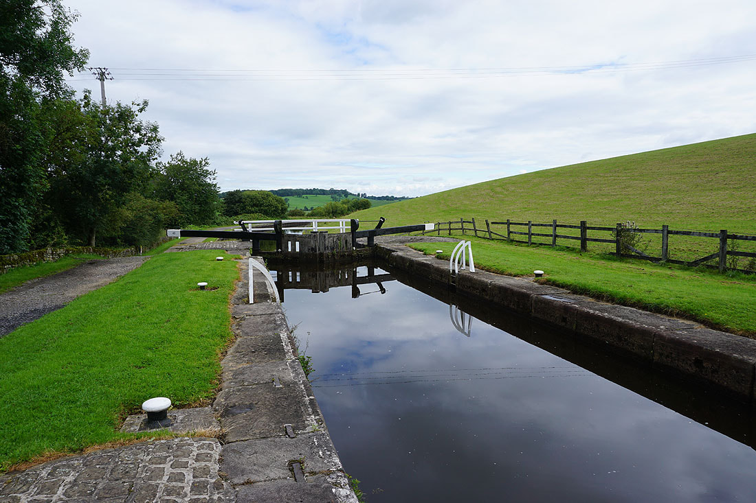
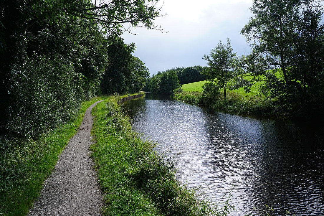
From the picnic site at Greenberfield Locks I take the towpath by the Leeds and Liverpool Canal and head north..
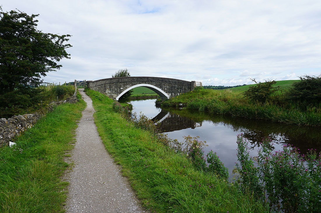
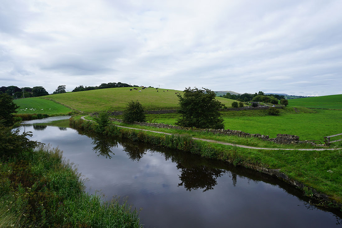
Looking back as I cross a bridge over the canal I can make out Weets Hill and Pendle Hill in the distance on the right
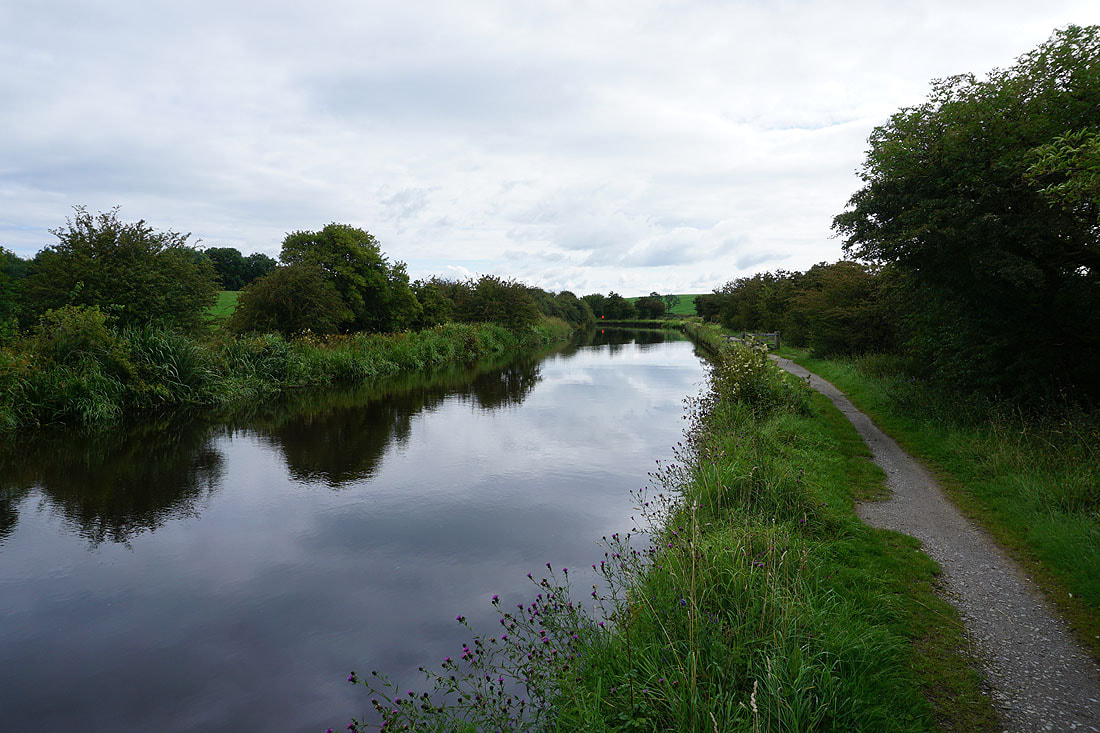
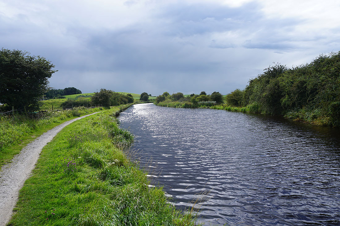
Walking along the towpath by the Leeds and Liverpool Canal
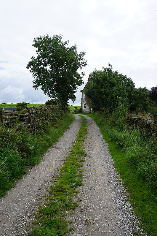
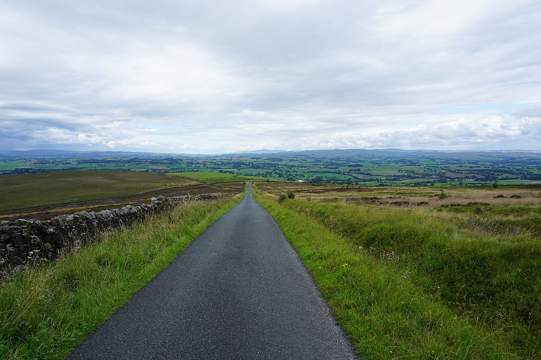
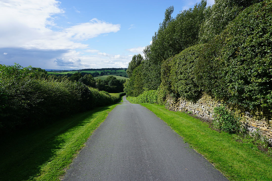
Leaving the canal I take a footpath across fields to Thornton-in-Craven
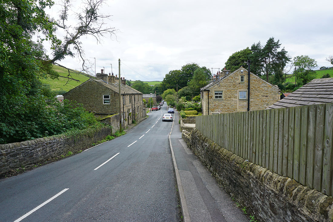
Into Thornton-in-Craven
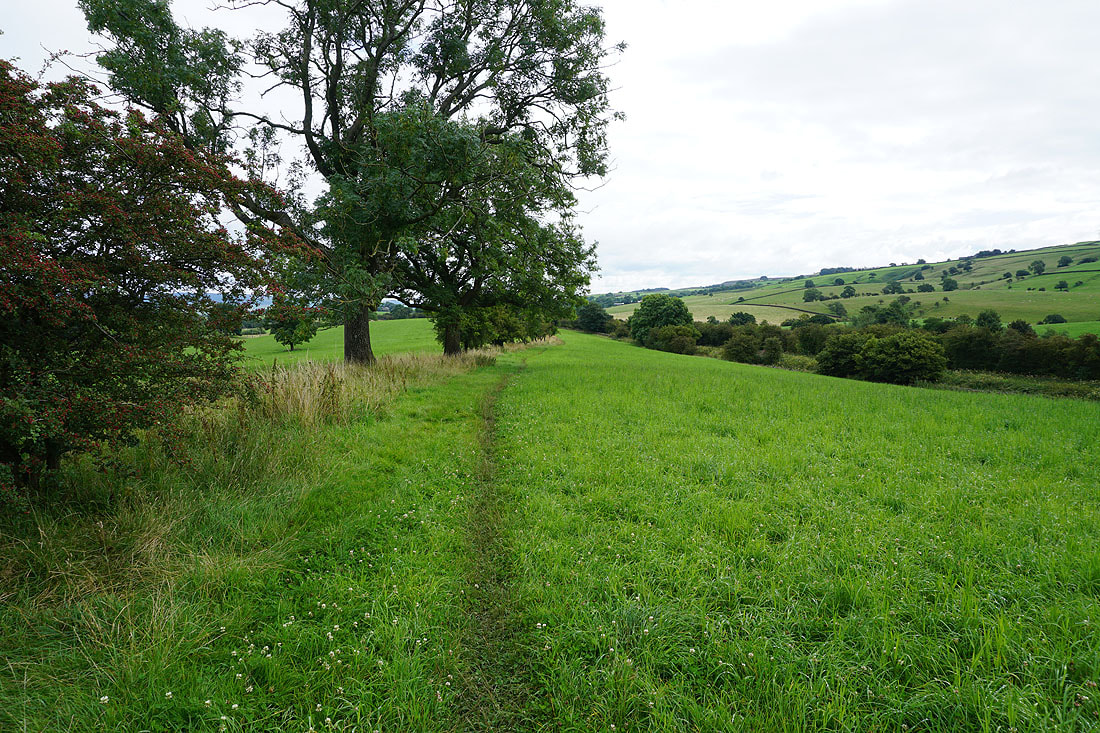
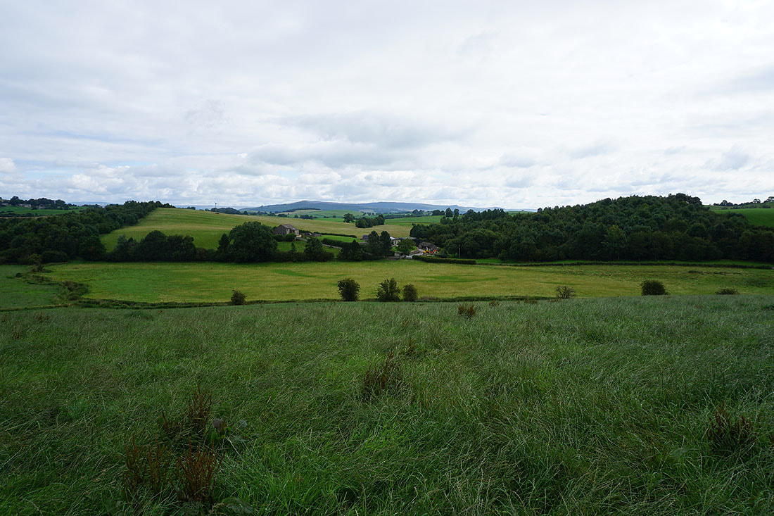
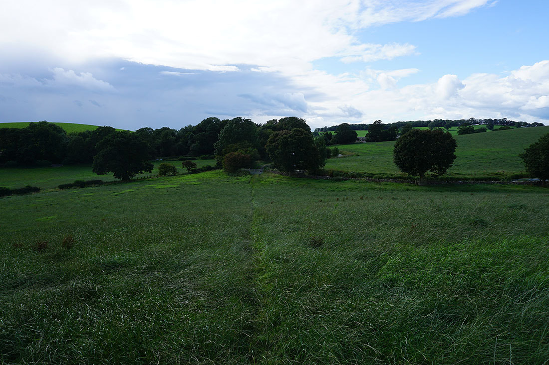
From Thornton-in-Craven I follow a footpath east across fields to Elslack..
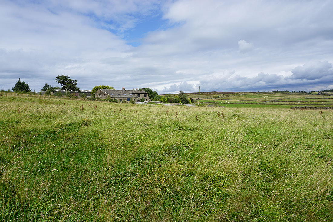
Approaching Elslack Hall Farm
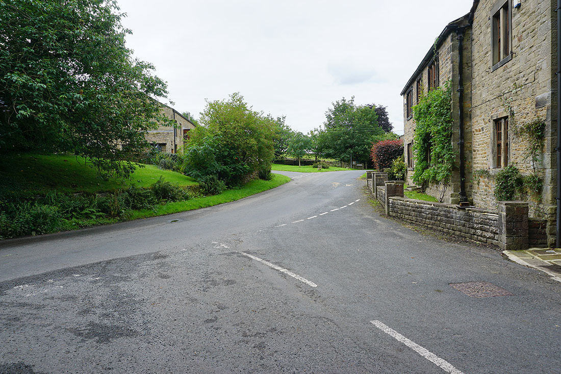
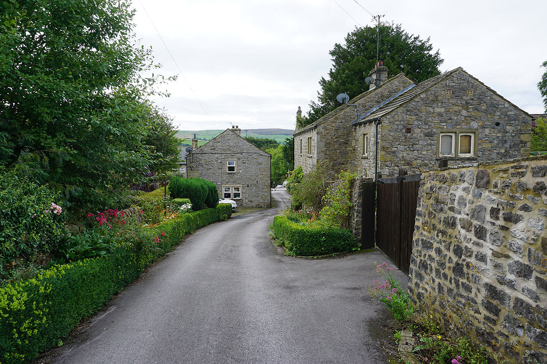
In the hamlet of Elslack
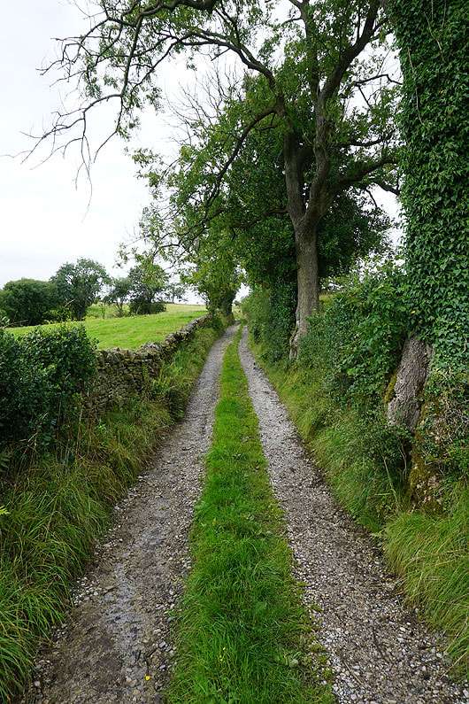
I left Elslack via Moor Lane, and Moor Lane is left by taking a footpath up a track to Smearber Farm
To my left, a view north to Rye Loaf Hill, and the moors above Malham
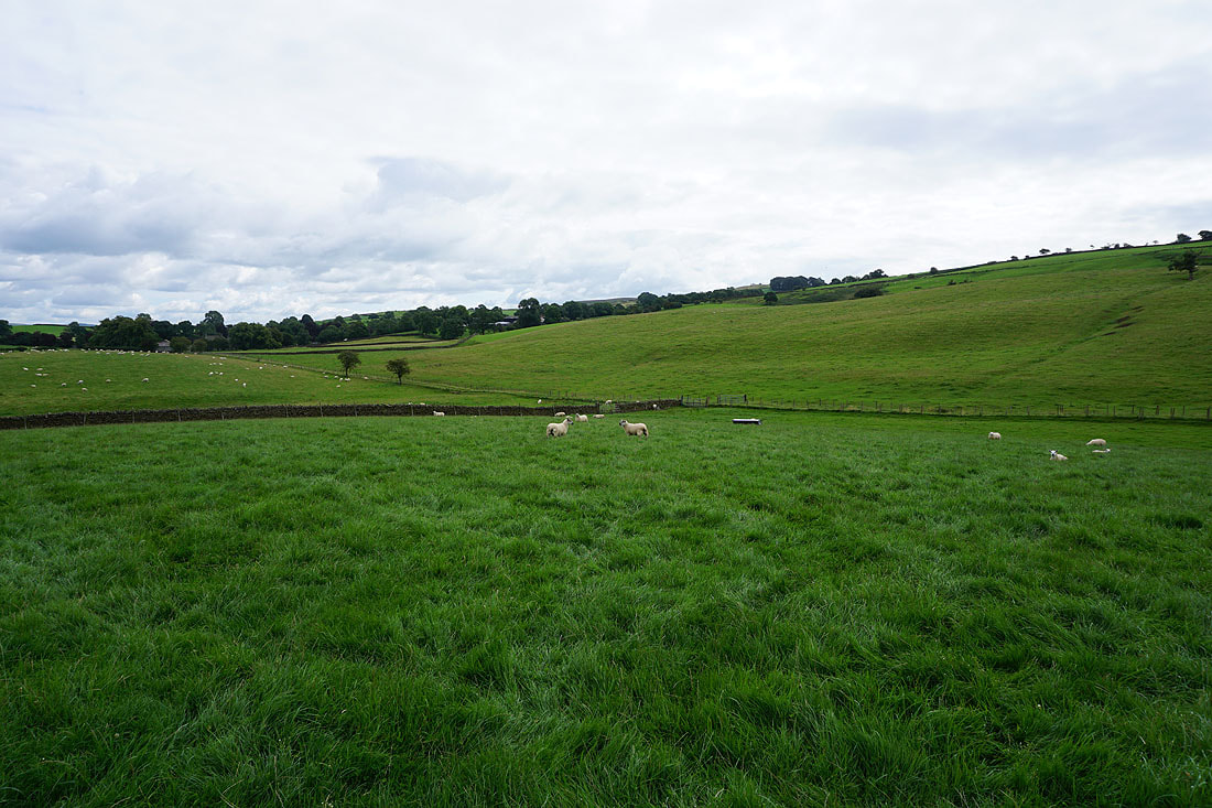
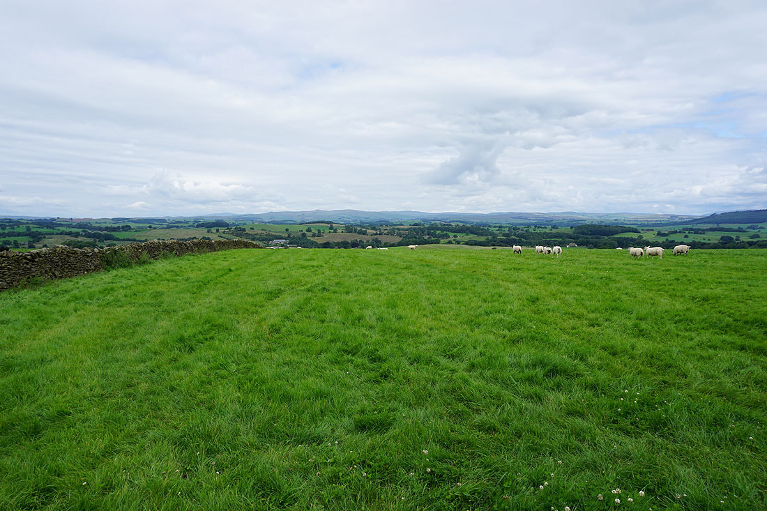
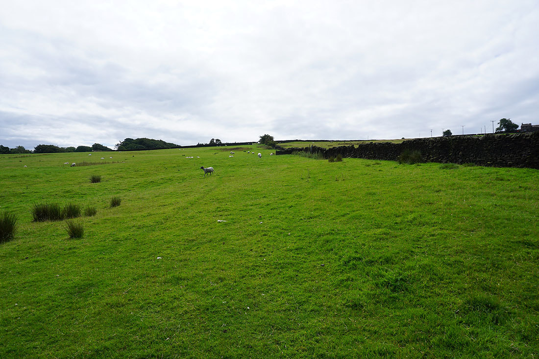
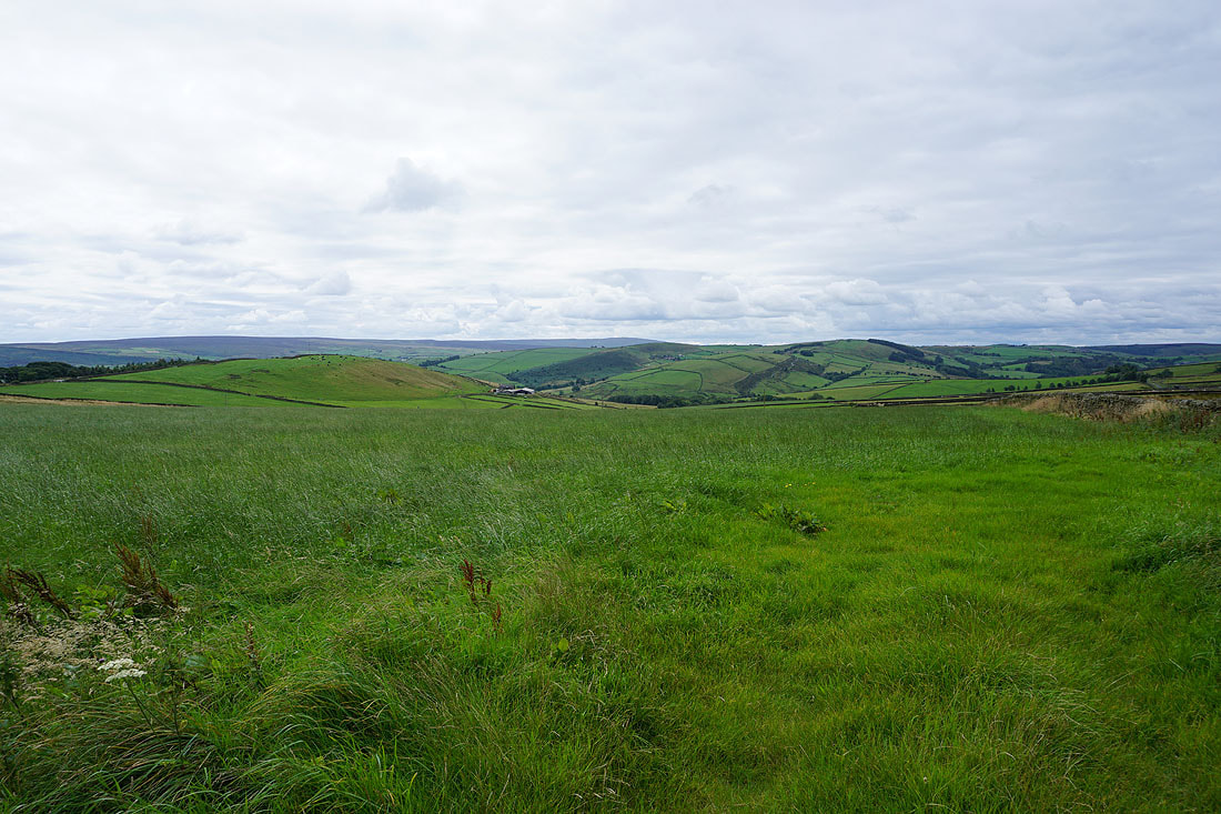
Heading east across fields towards Carleton-in-Craven
Sharp Haw and Barden Moor
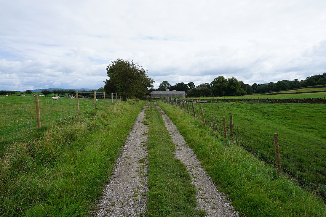
At Higher Scarcliff, and I'll follow this track out to Carleton Lane
Skipton and Skipton Moor
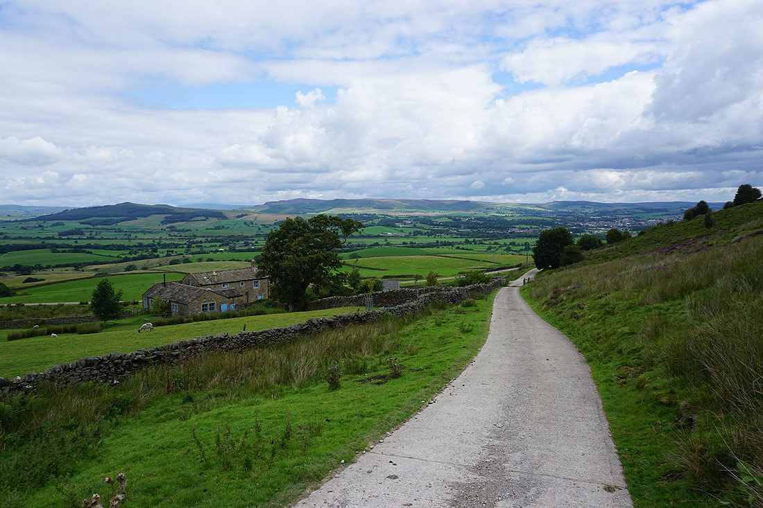
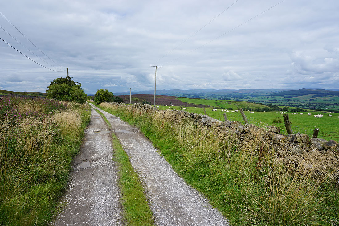
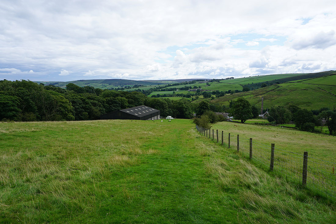
After crossing Carleton Lane I take a footpath up through fields to Gawthorpe House Farm
Looking back I have a great view across to Sharp Haw, Barden Moor, and Embsay
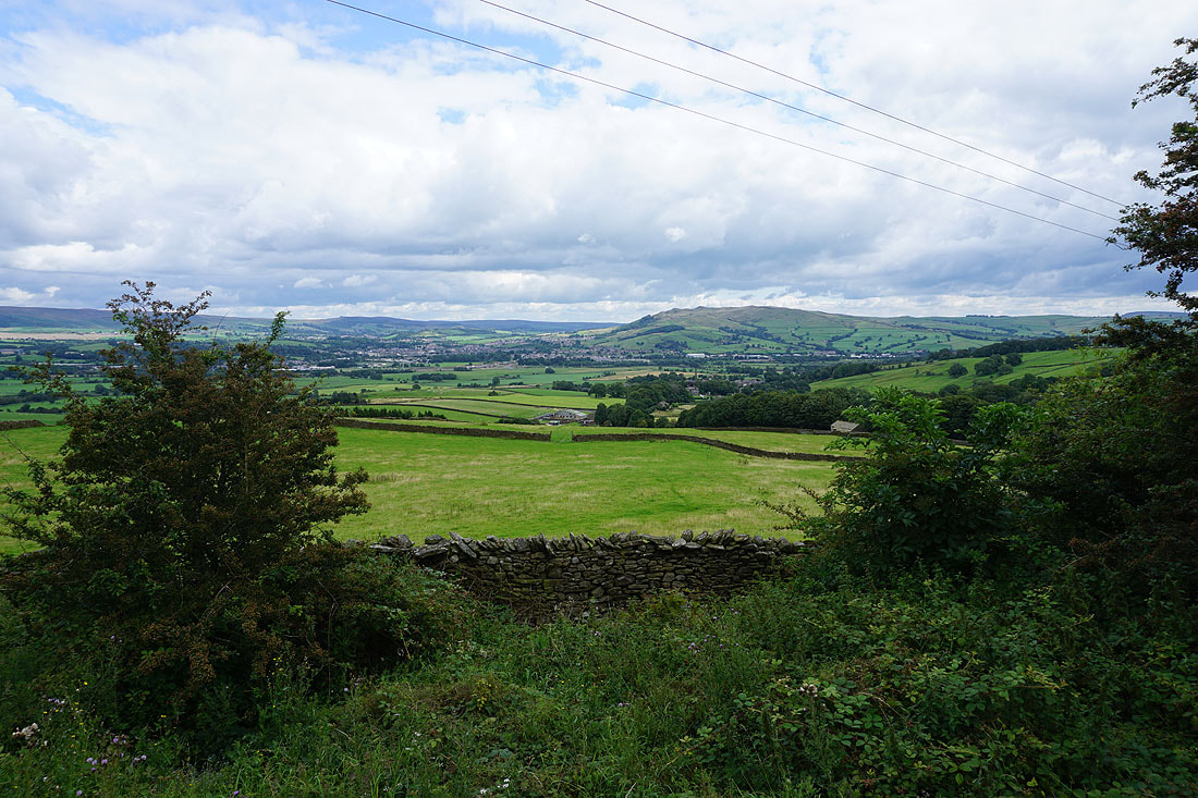
Ingleborough, Rye Loaf Hill, and the moors above Malham from the bridleway at Gawthorpe House Farm
From Gawthorpe House Farm I follow the bridleway up to Park Lane
Looking back as I reach Park Lane to the moors above Malhamdale and Wharfedale in the distance
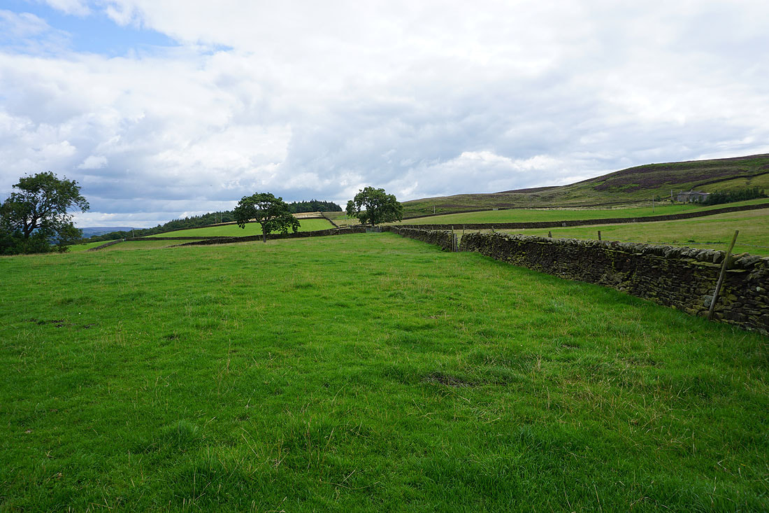
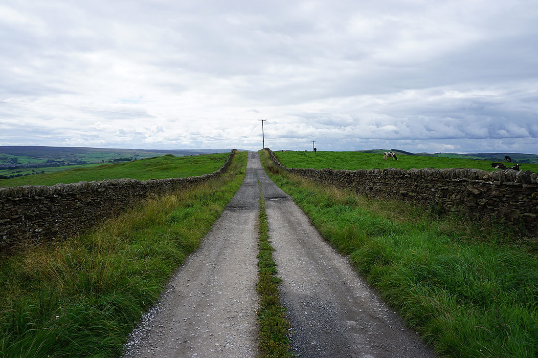
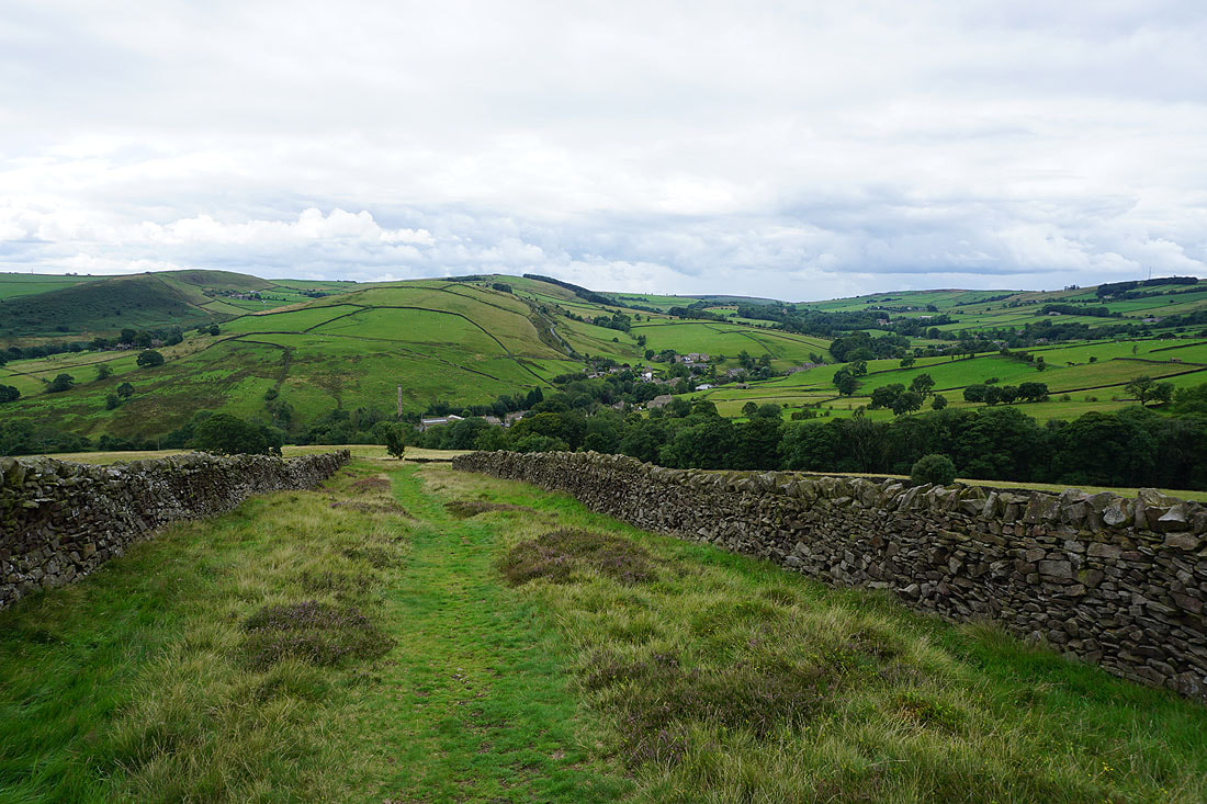
From the top of Park Lane I walk southeast along Babyhouse Lane towards Tow Top
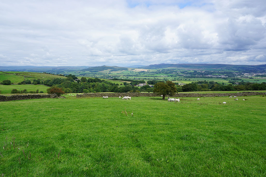
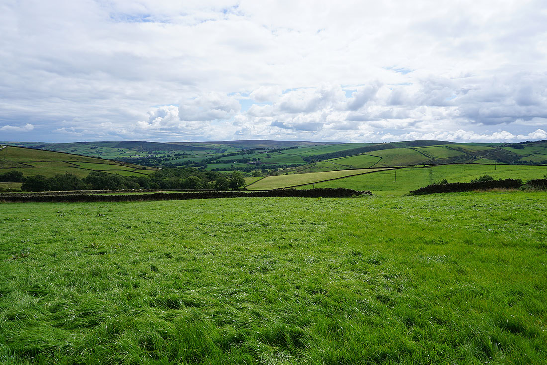
To my right, a view across the moors around Lothersdale
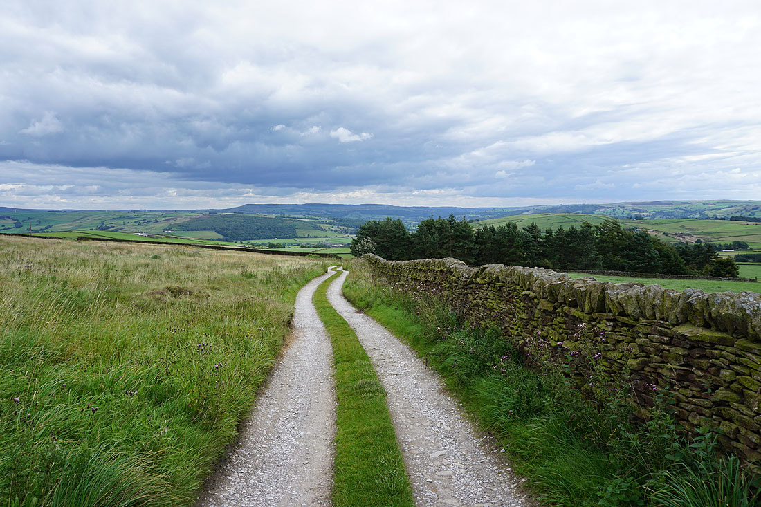
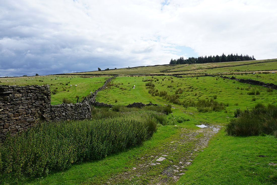
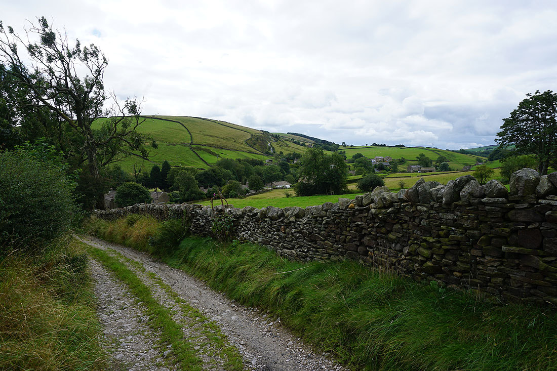
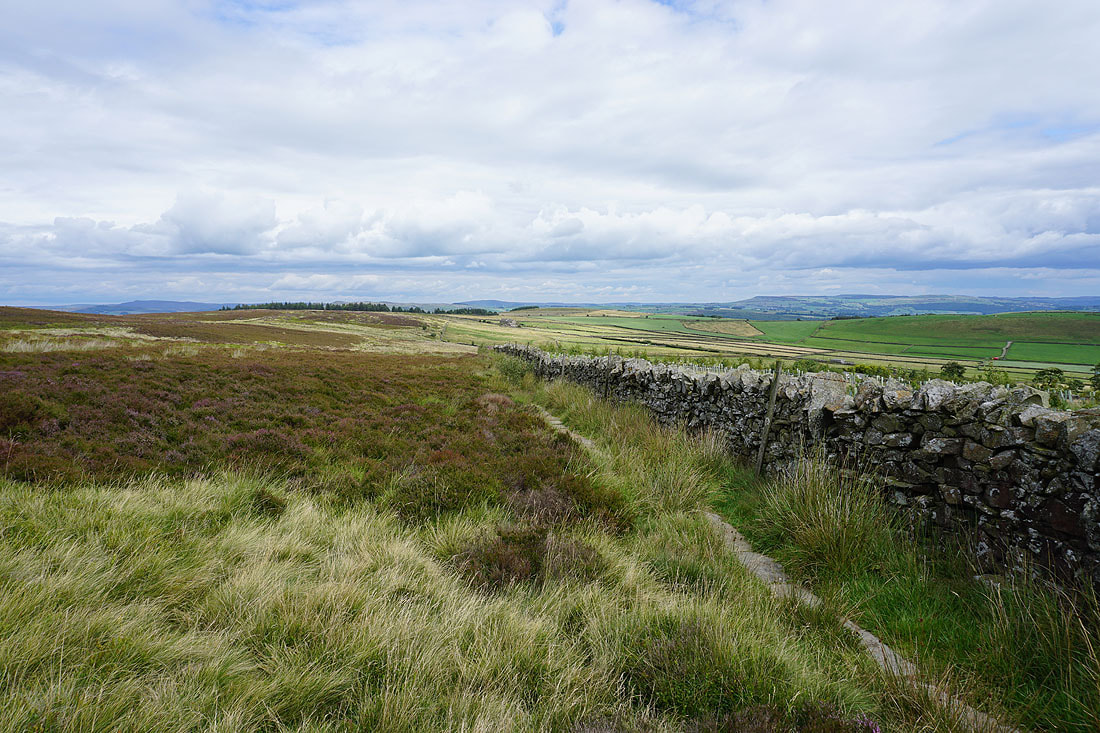
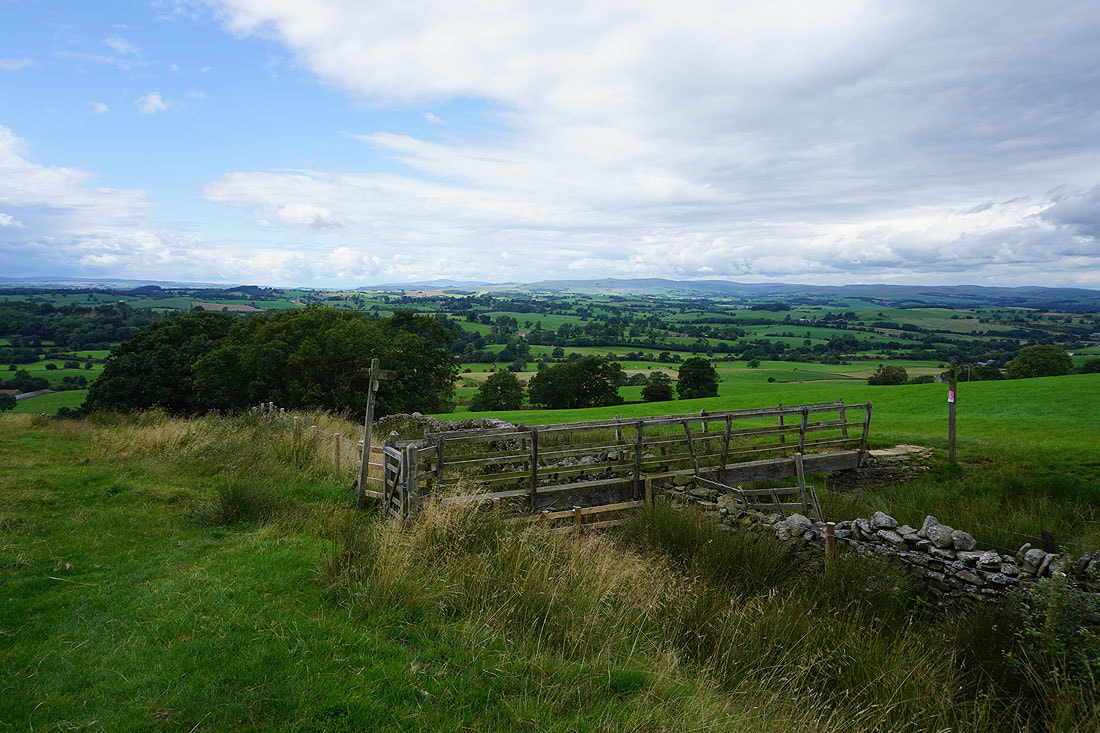
I leave the road for the bridleway to Street Head Farm
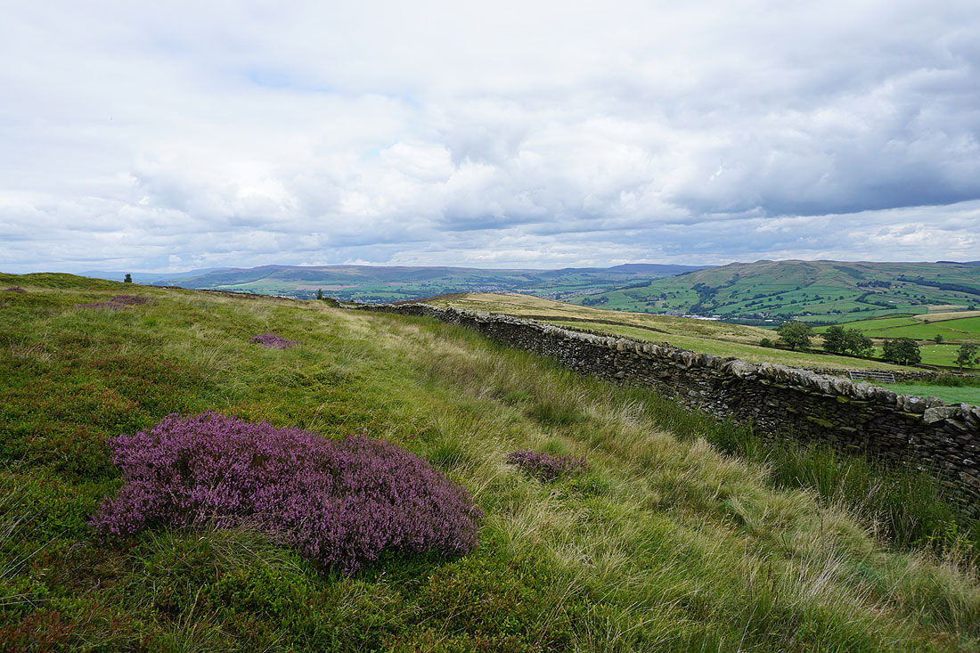
Flowering heather on Burnt Hill
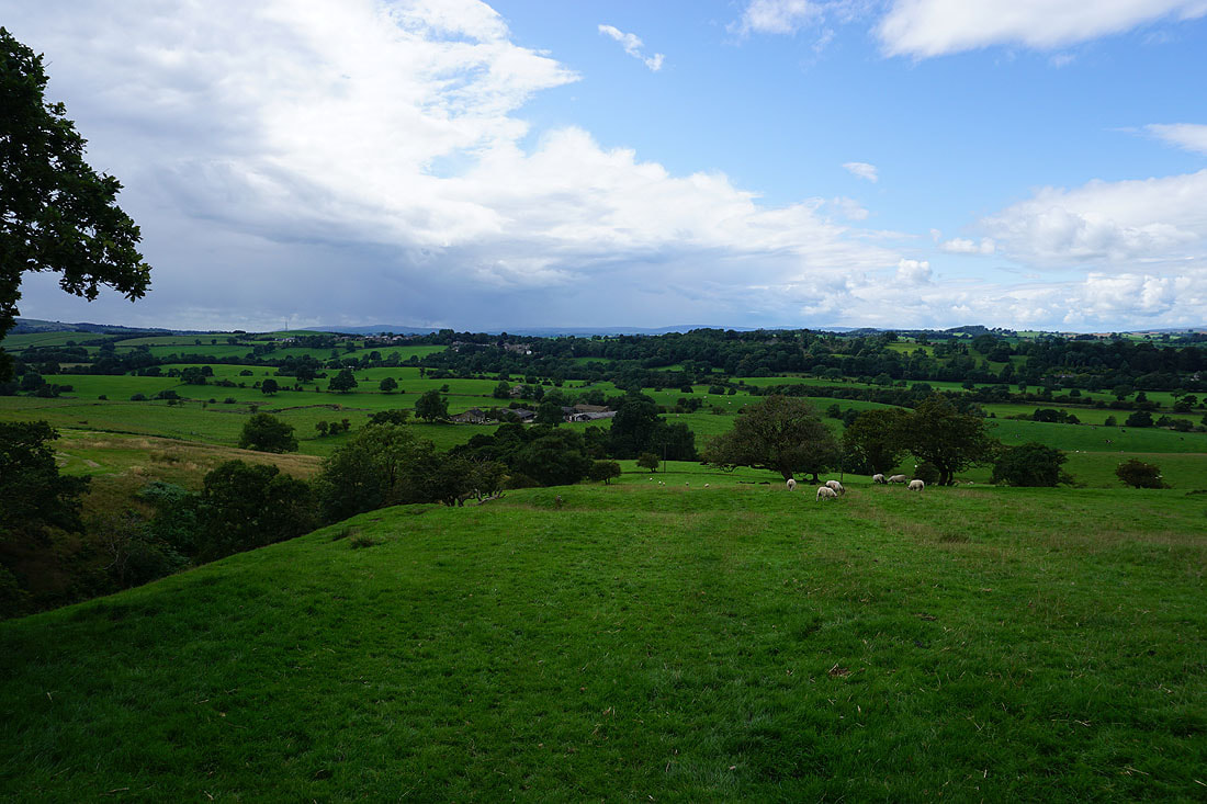
Looking south down Airedale from Burnt Hill
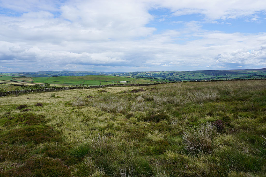
Barden Moor, Ramshaw, and Skipton Moor
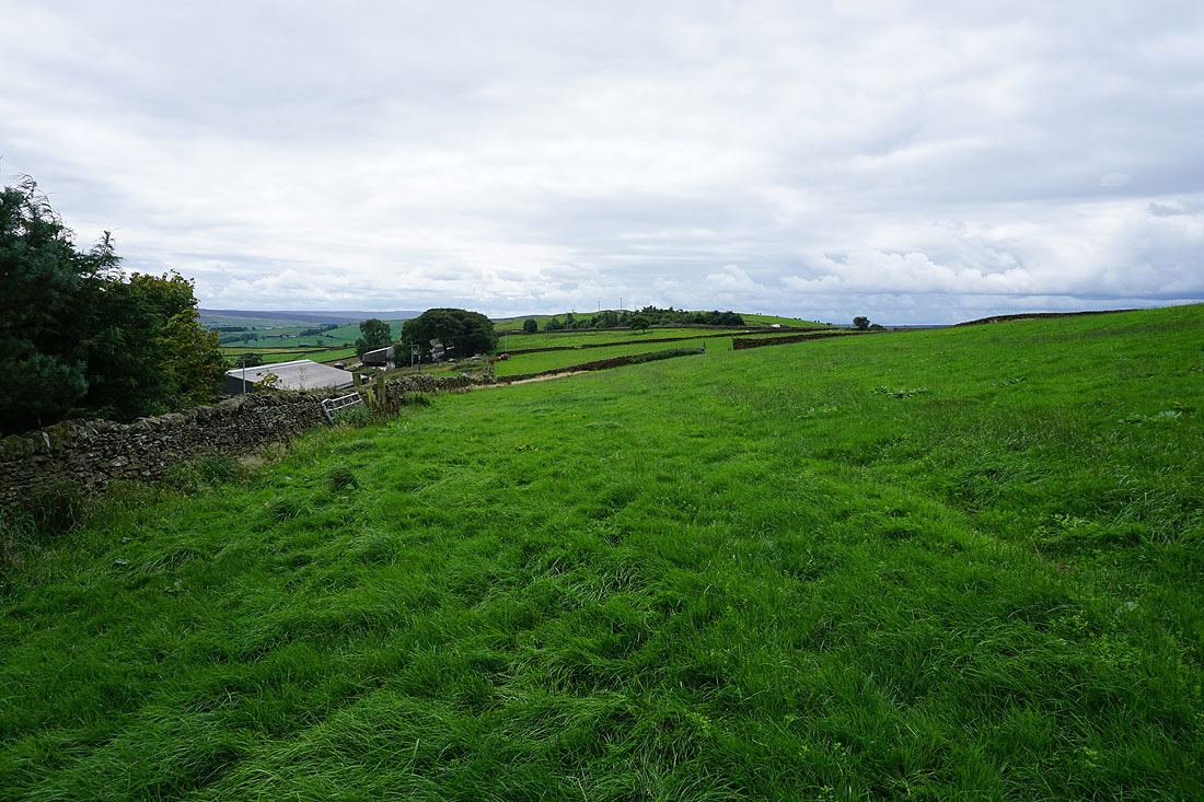
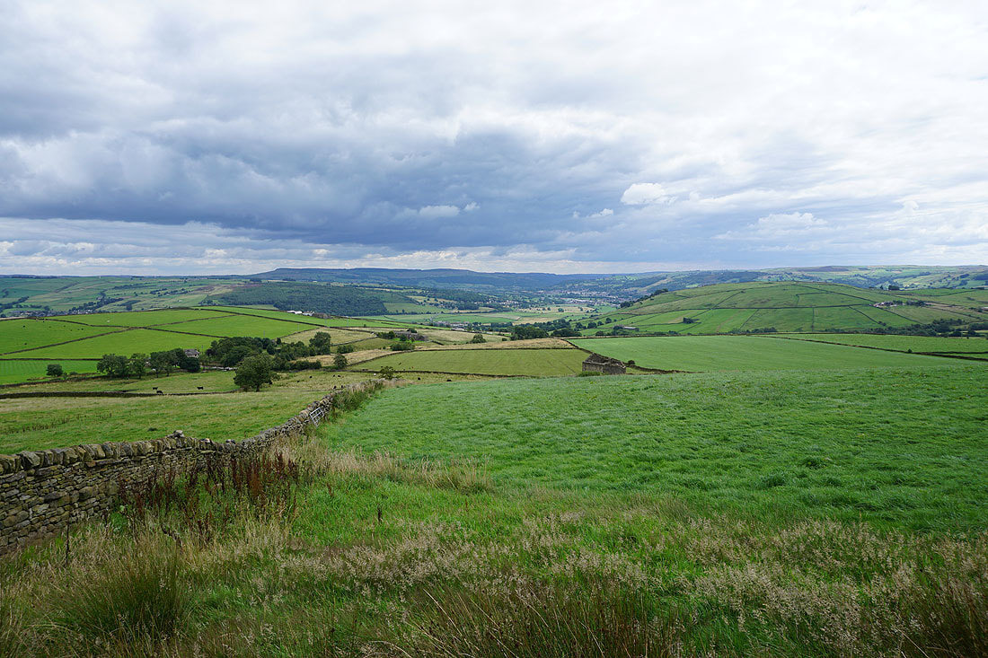
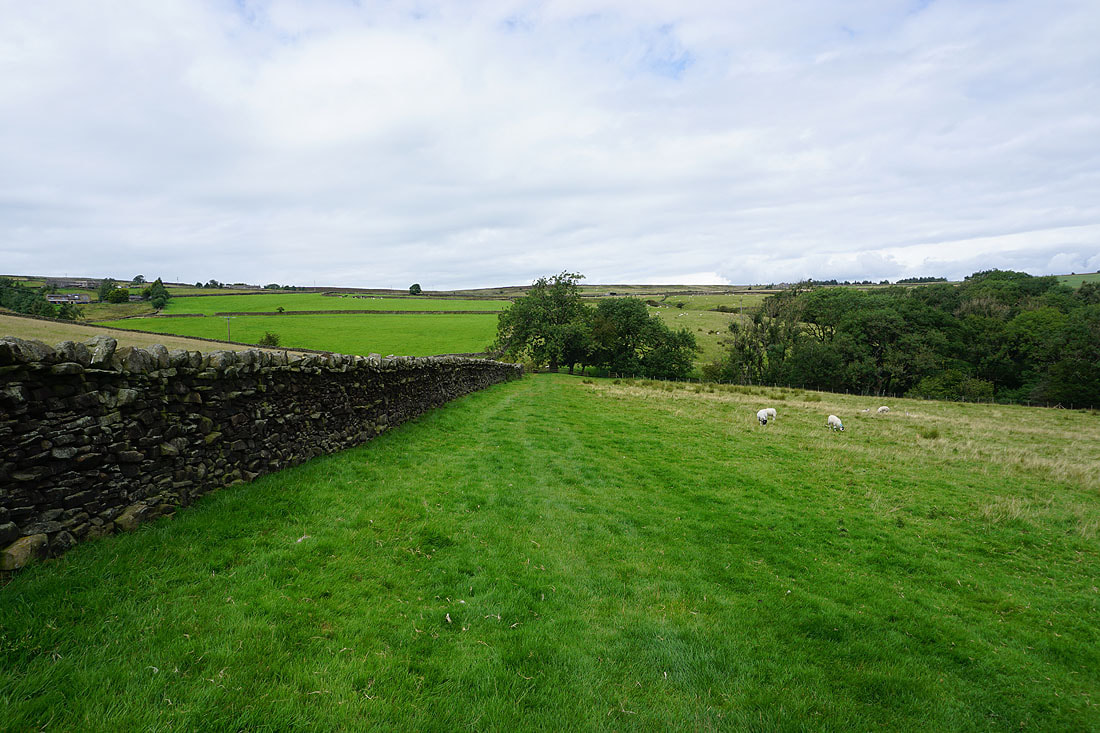
Having returned to Street Head Farm I take a footpath across fields to Babyhouse Lane
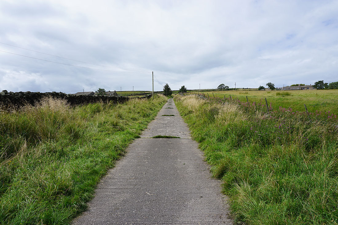
Heading south along the bridleway of Tow Top Lane
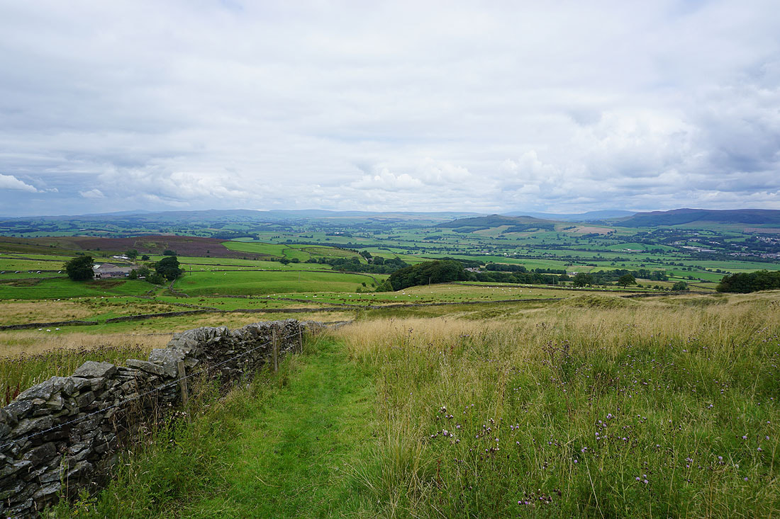
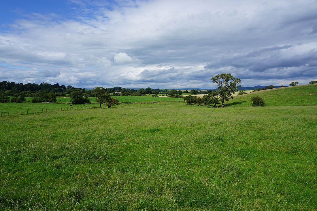
To my left, the moorland around Airedale
Following the bridleway down into the village of Lothersdale..
Lothersdale is left via the Pennine Way
Looking back down to Lothersdale..
Heading north on the Pennine Way across Stansfield Beck
The moors of Lothersdale as I reach White Hill Lane
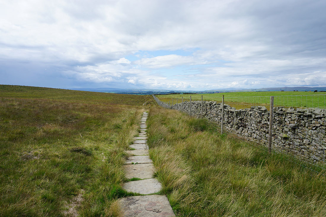
Crossing White Hill Lane I take the Pennine Way up onto Carleton Moor
A summer's afternoon at Kirk Sykes Farm
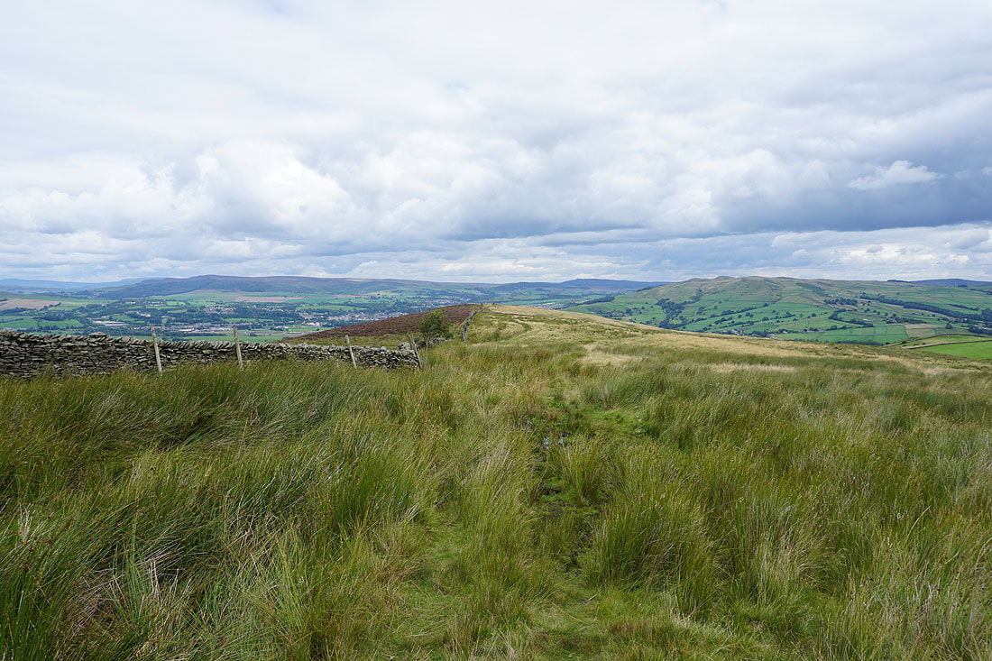
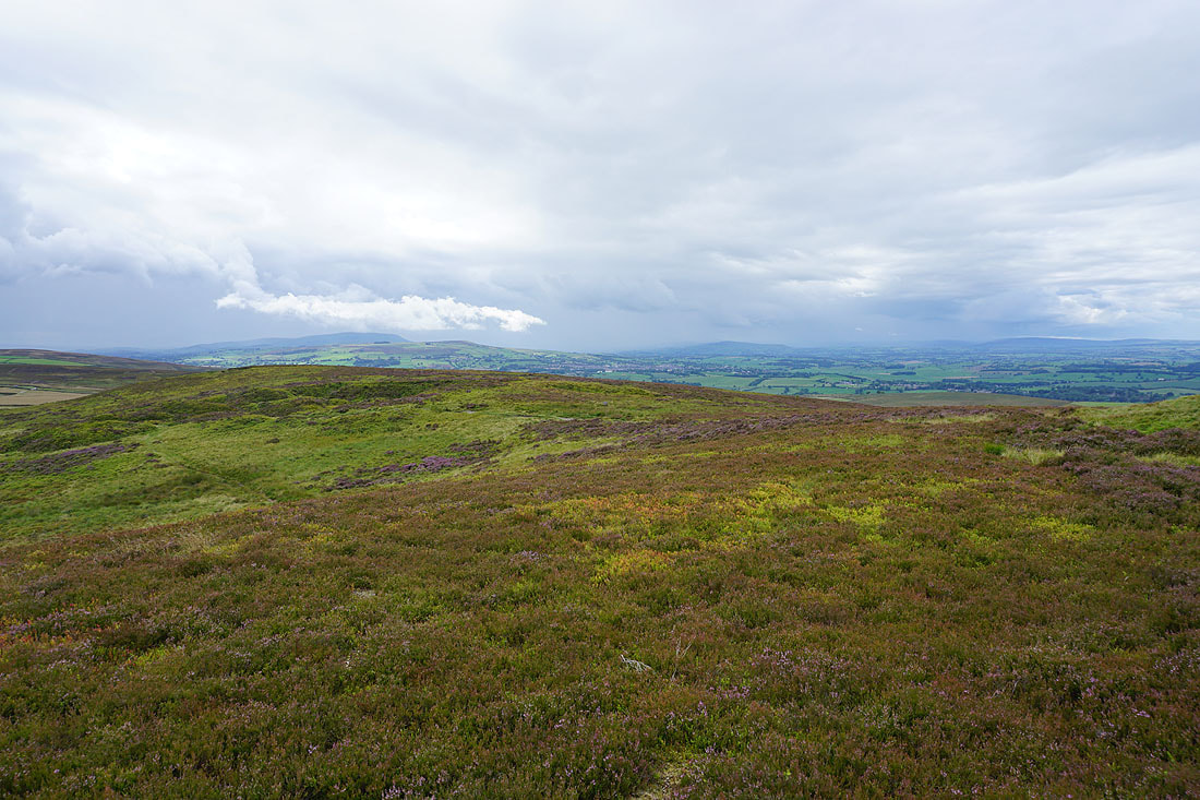
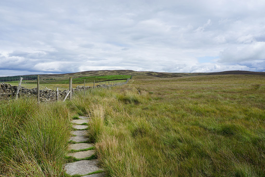
Onto Carleton Moor
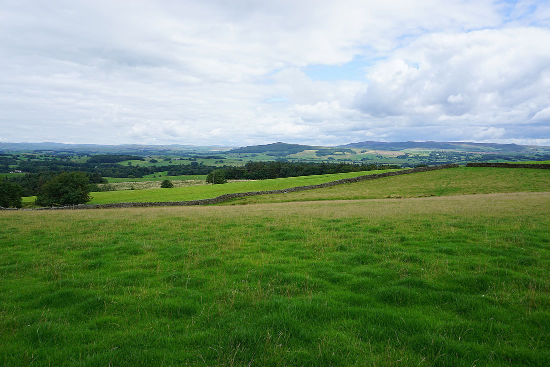
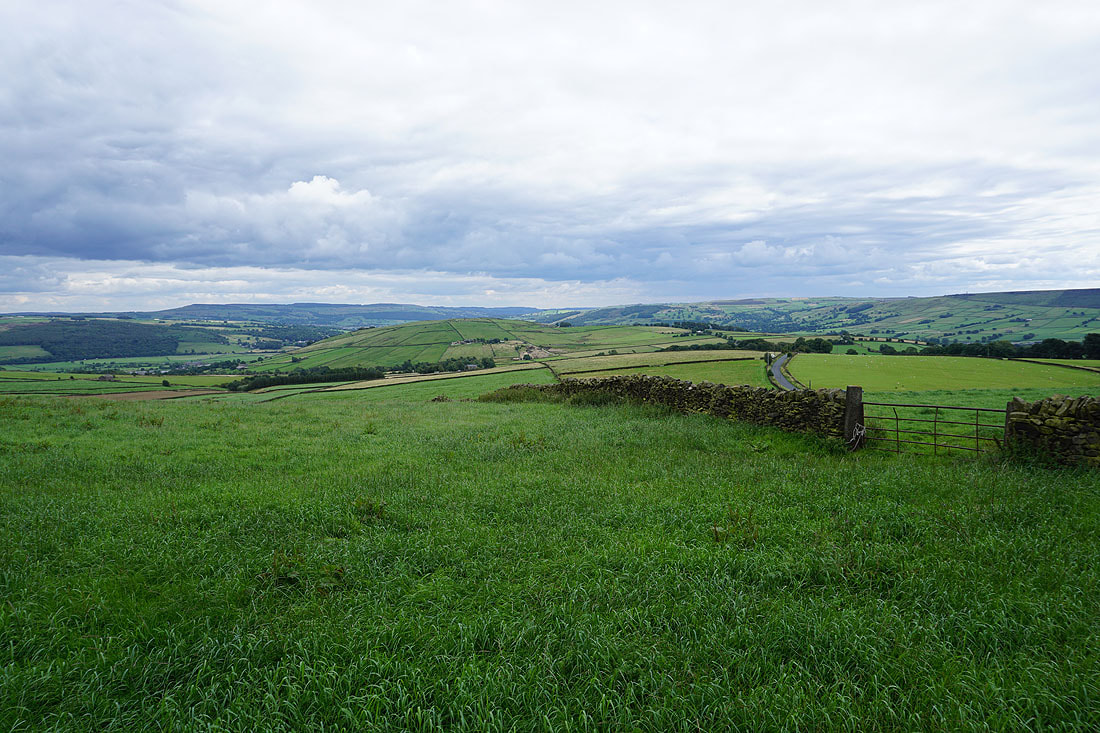
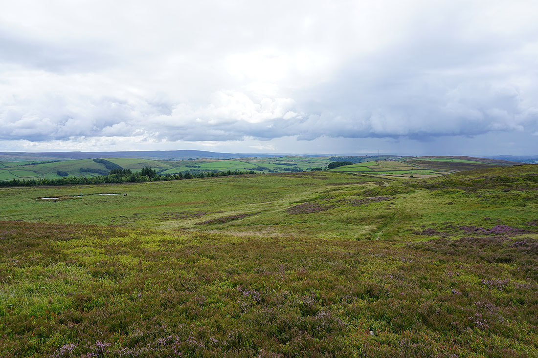
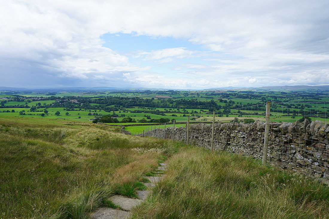
Looking southeast to Airedale..
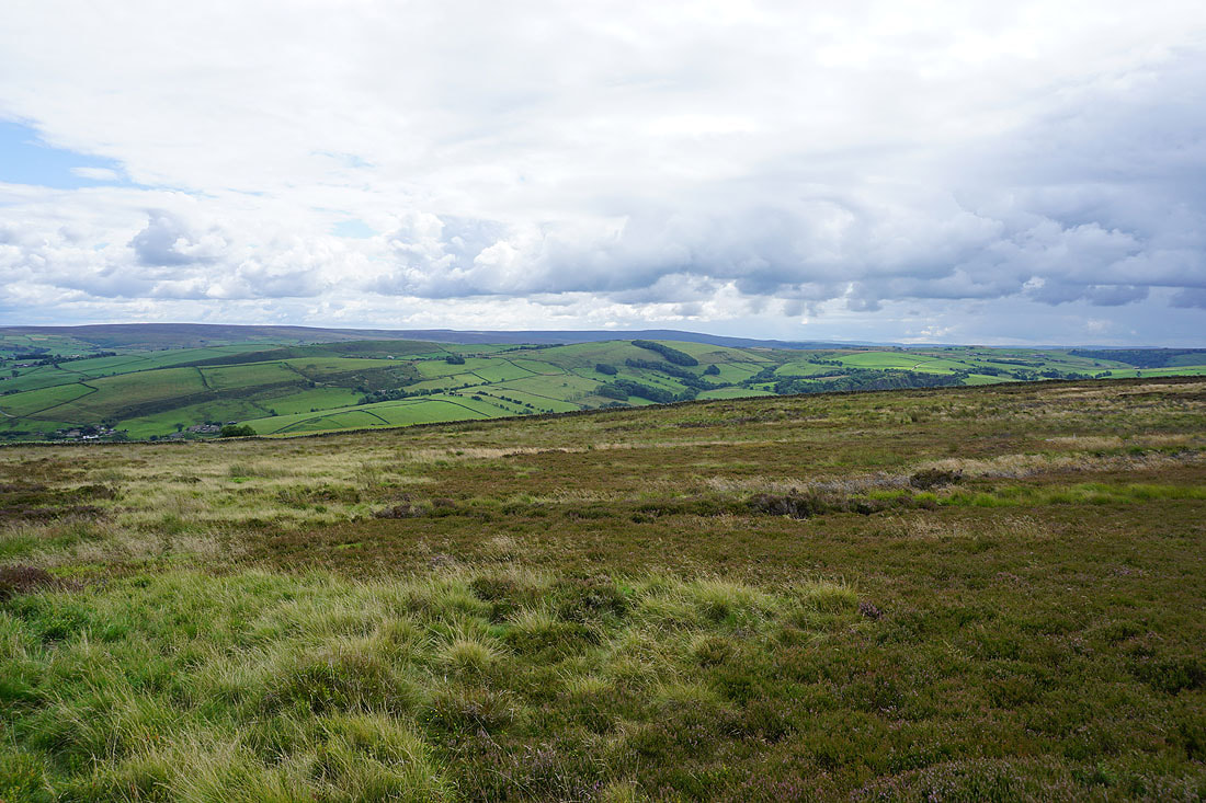
..and south across Lothersdale to Ickornshaw Moor and Boulsworth Hill in the distance
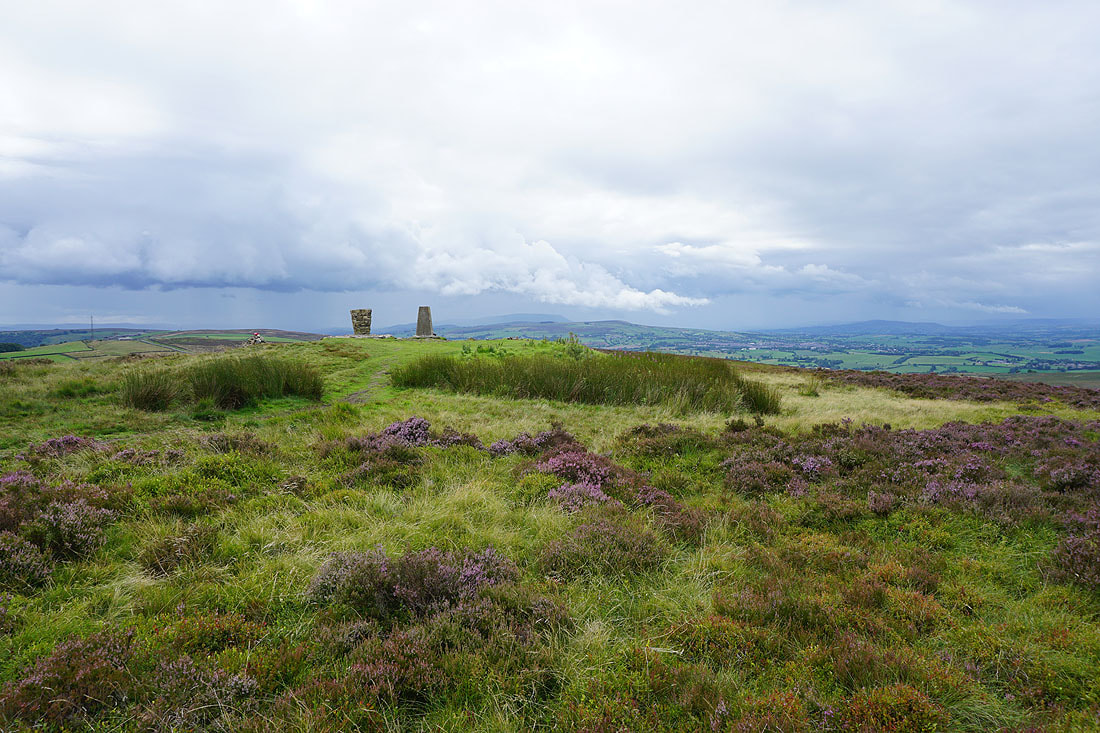
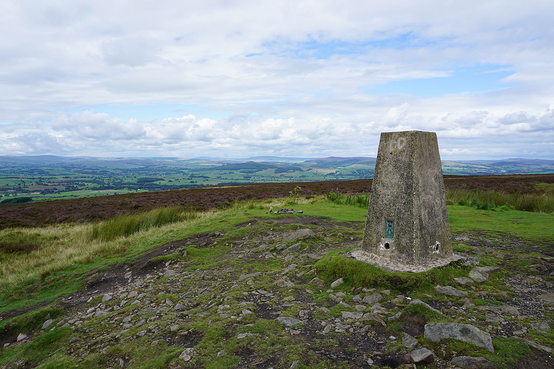
I arrive on the summit of Pinhaw Beacon with its trig point and view indicator. The clouds to the west look a bit threatening, I can see rain falling.
There's a great all-round view to take in. Starting with Boulsworth Hill in the distance to the south.
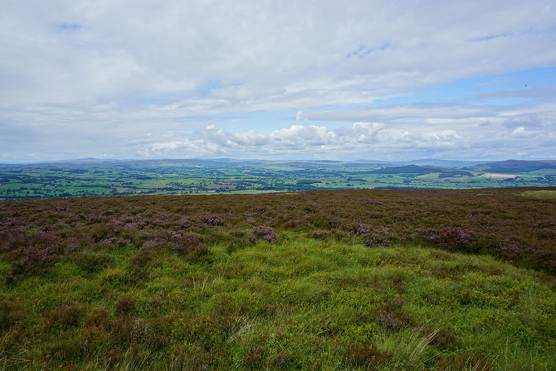
The hills of the Yorkshire Dales from northwest round to northeast; Ingleborough, the moors around Malhamdale and Wharfedale, Great Whernside, and Barden Moor..
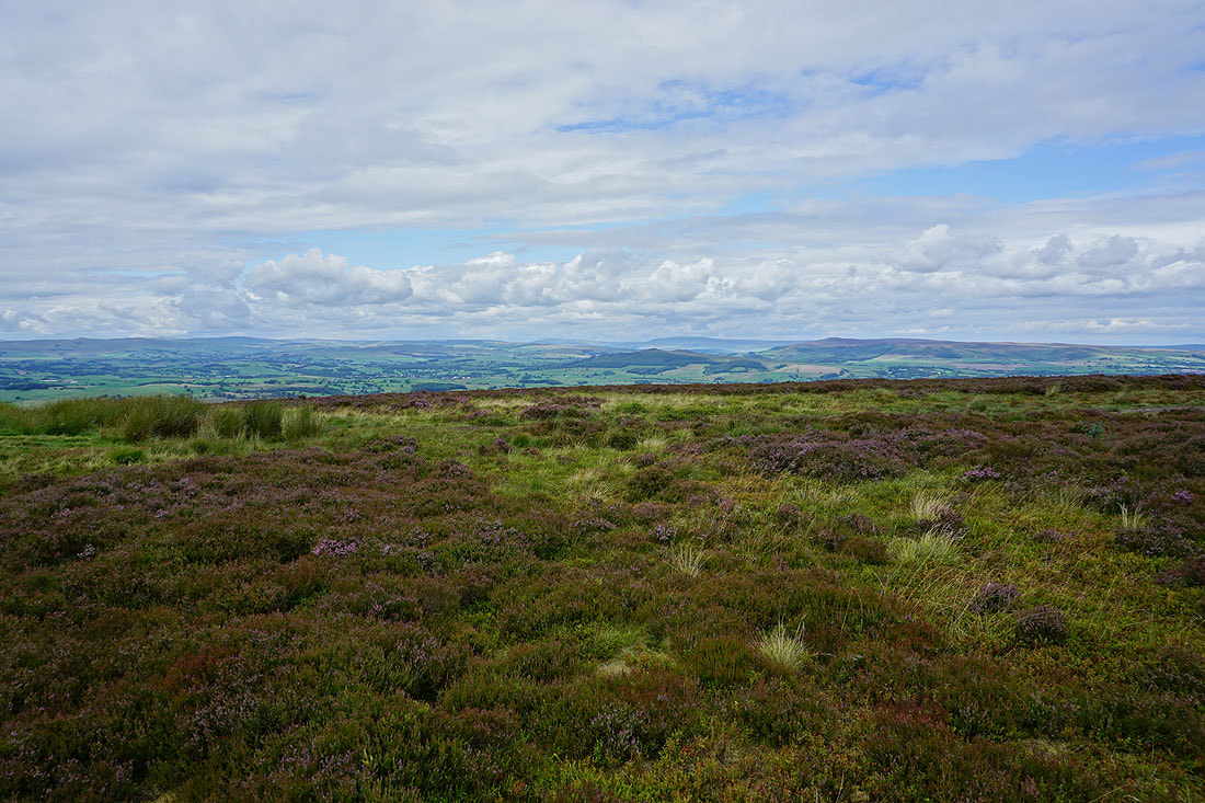
Pendle Hill and the Forest of Bowland to the west
A last shot from the trig point looking to Great Whernside in the distance
Pendle Hill..
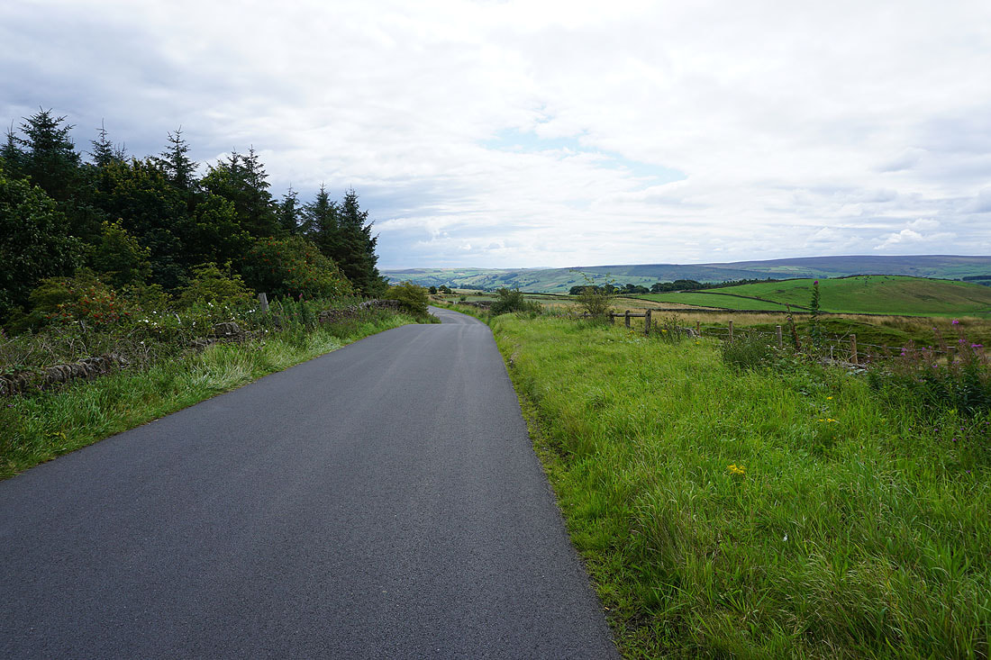
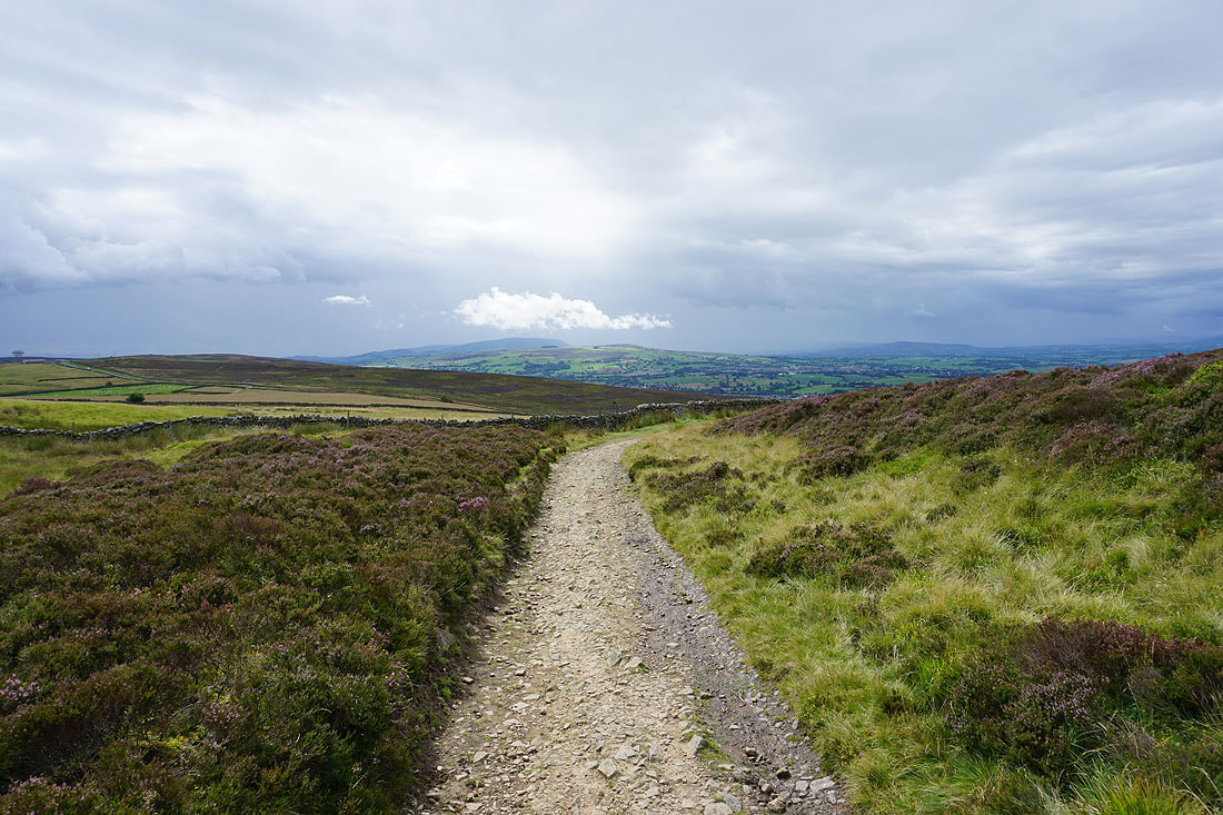
..and the Forest of Bowland in the distance from the Pennine Way
Ingleborough in the distance as I walk down Clogger Lane
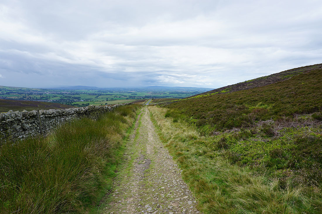
The Pennine Way leaves Clogger Lane for the moorland of Rectory Allotment
Looking back to Pinhaw Beacon
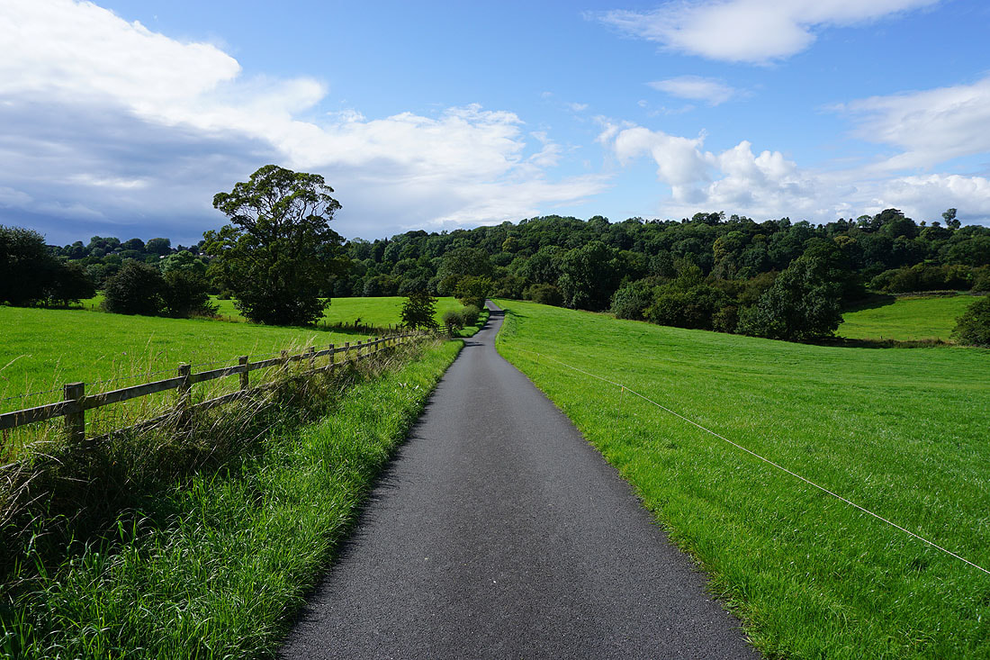
I follow the Pennine Way down to Brown House Farm...
A summer's afternoon on the Pennine Way
Following the Pennine Way to Thornton-in-Craven
Having crossed the A56 in Thornton-in-Craven I'm following the footpath back to the Leeds and Liverpool Canal
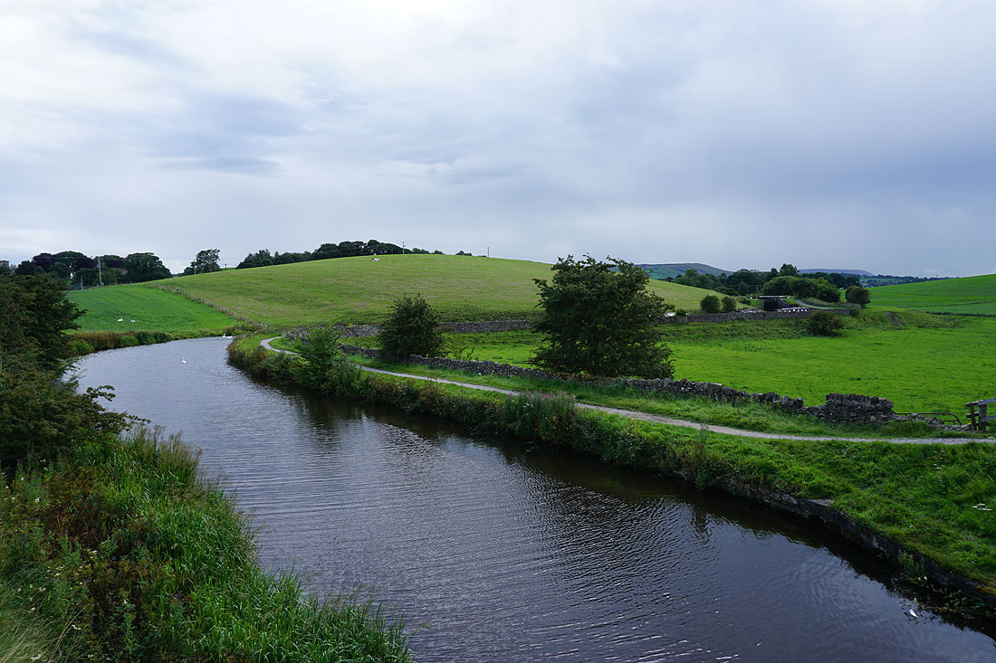
Crossing Castleber Hill down to the canal
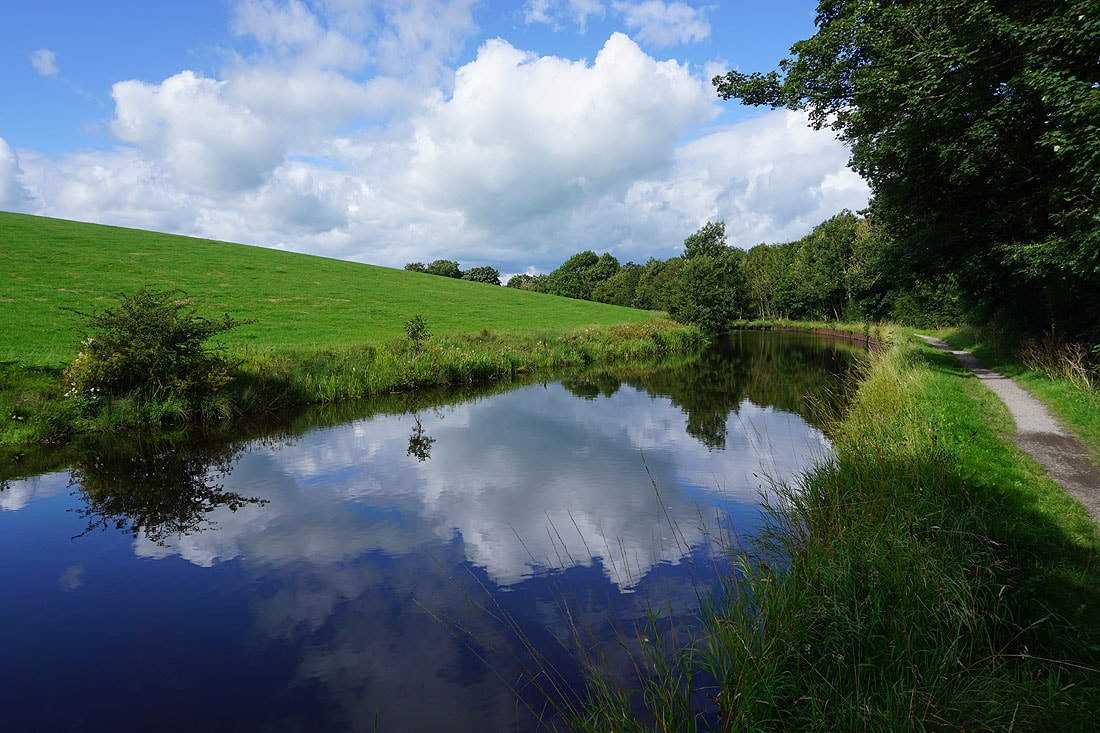
Making my way south along the towpath by the Leeds and Liverpool Canal.....
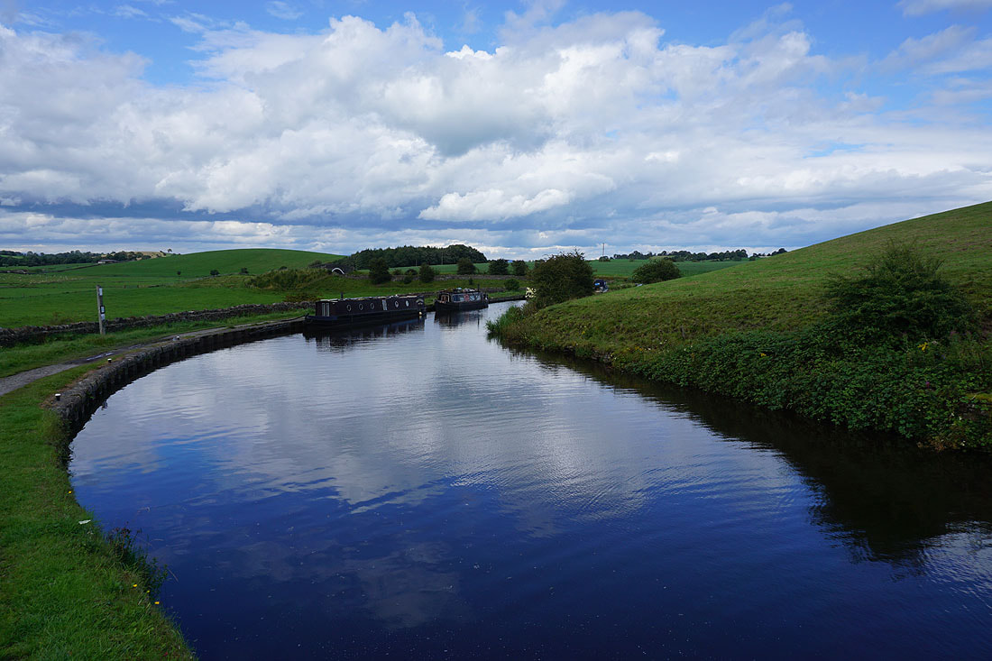
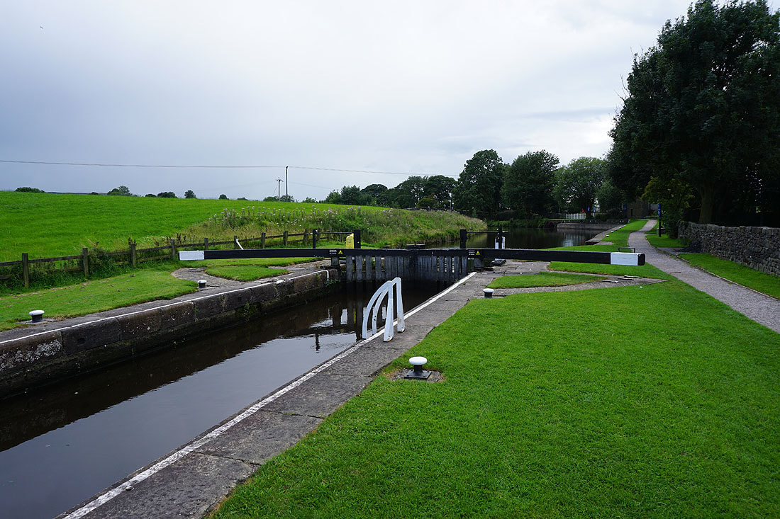
Back at Greenberfield Locks