6th December 2008 - A Fairfield Horseshoe
Walk Details
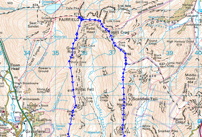
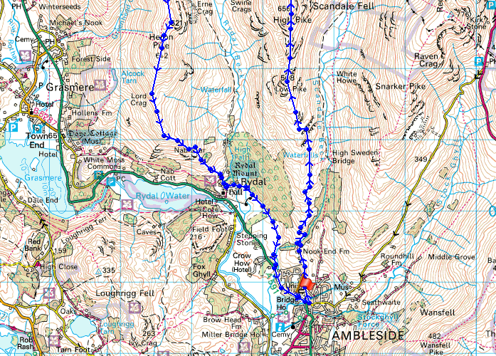
Distance walked: 10.4 miles
Total ascent: 3452 ft
OS map used: OL7 - The English Lakes, South-eastern area & OL5 - The English Lakes, North-eastern area
Time taken: 7.5 hrs
Route description: Ambleside-Nook Lane-Low Sweden Bridge-Low Pike-High Pike-Dove Crag-Hart Crag-Fairfield-Great Rigg-Heron Pike-Nab Scar-Rydal Hall-Rydal Park-Ambleside
A walk around the Fairfield Horseshoe done in an anticlockwise direction. It was a bitterly cold day with deep snow which made the going difficult in places but fortunately I wasn't the first person up there and I was able to use other peoples footprints in the snow to help me along. Because of this it took me about 90 minutes longer to do the walk than it would normally, so I ended up walking through Rydal Park and back to Ambleside in the dark with my headtorch to light the way. I was absolutely shattered afterwards. All in all it was a fabulous day and one I still have fond memories of.
Route map
From Ambleside I made my way up Nook Lane, over Low Sweden Bridge and up the ridge to Low Pike
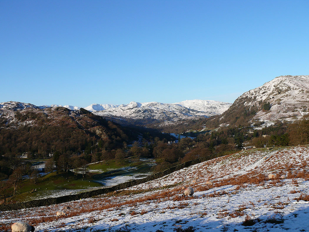
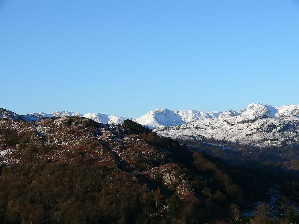
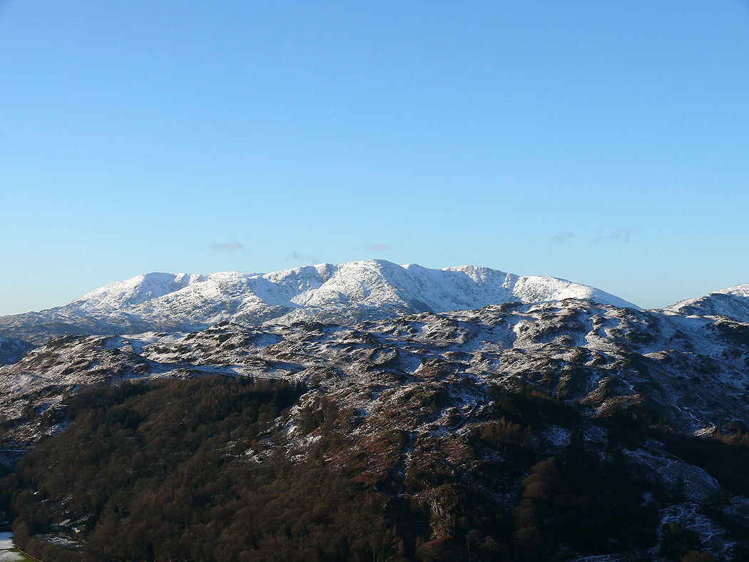
Zooming in to the Crinkle Crags and Bowfell over Loughrigg Fell
The Old Man of Coniston and Wetherlam
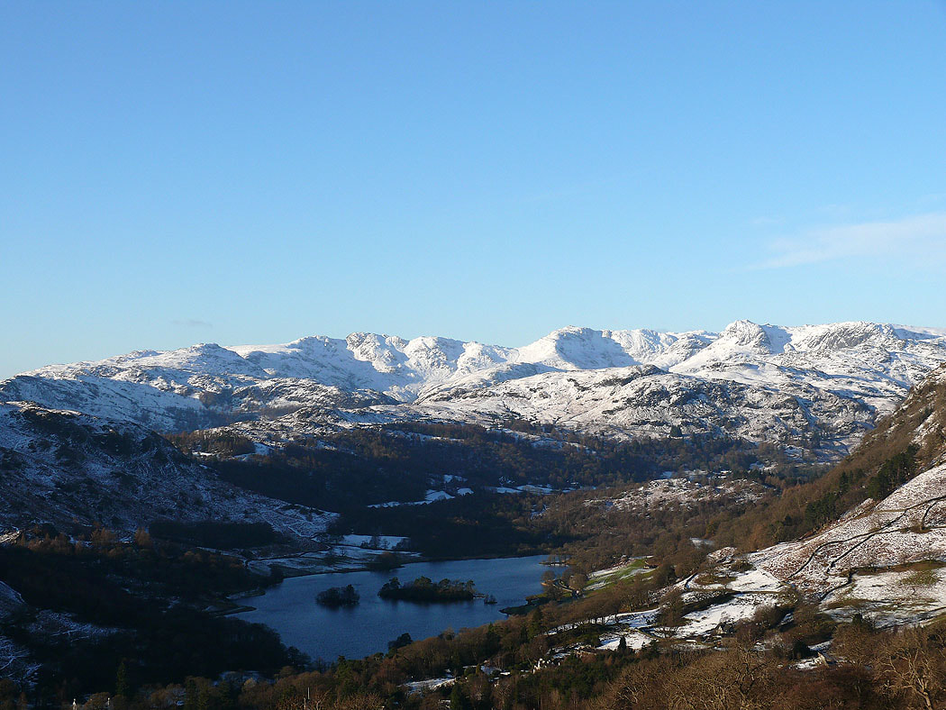
Pike o'Blisco, Crinkle Crags and Bowfell over Rydal Water
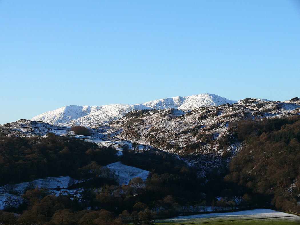
The Coniston fells
The Coniston fells, Crinkle Crags and Bowfell
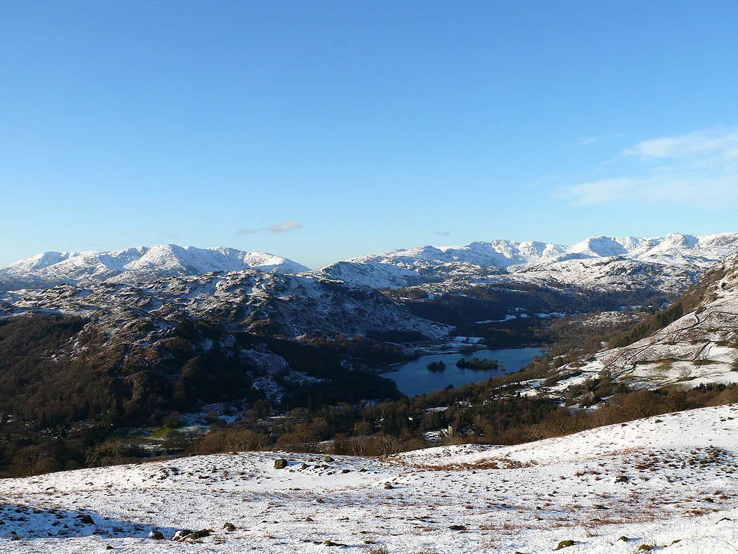
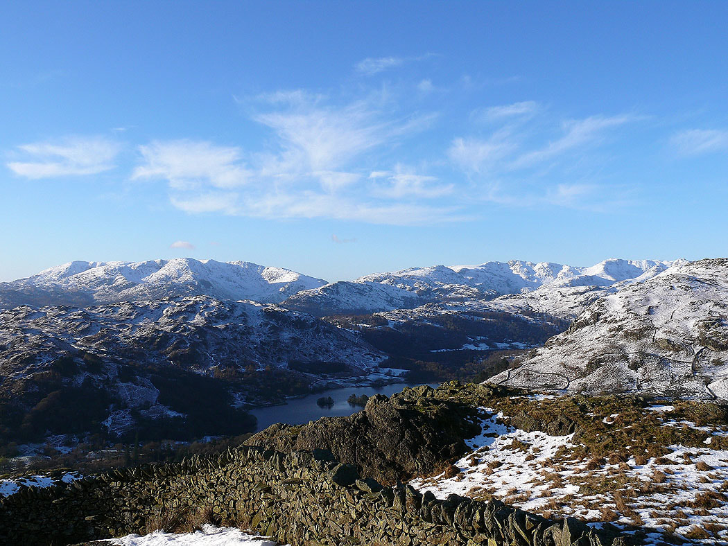
The Coniston fells, Crinkle Crags and Bowfell from Low Pike
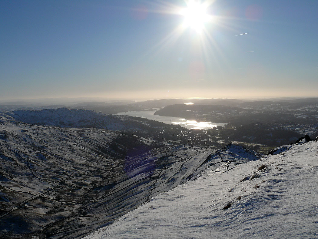
Windermere from High Pike
On Dove Crag. The view includes the Crinkle Crags, Bowfell, the Scafells, Great Gable and Pillar to name a few.
High Street from Dove Crag
The Ill Bell ridge and Red Screes
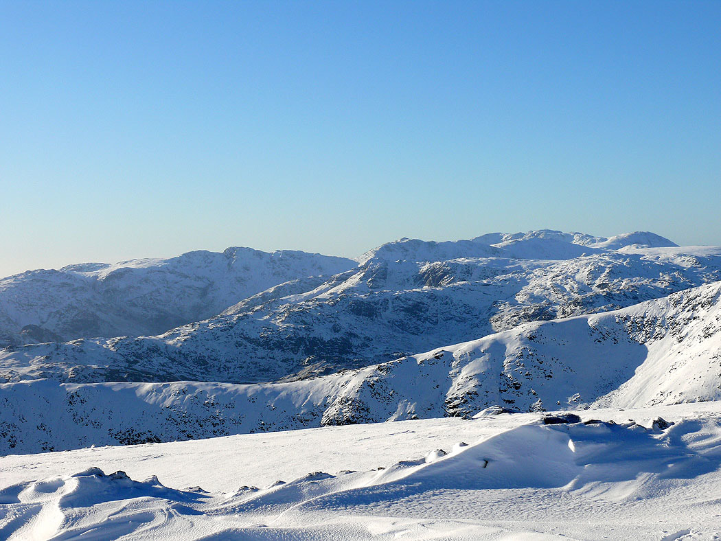
Zooming in on the Crinkle Crags, Bowfell and Scafell Pike
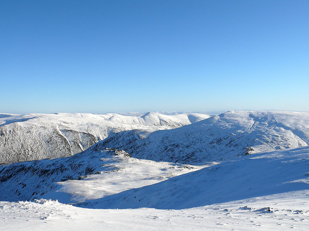
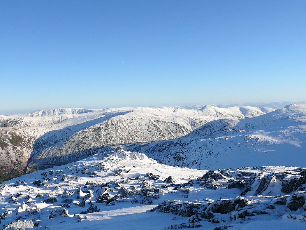
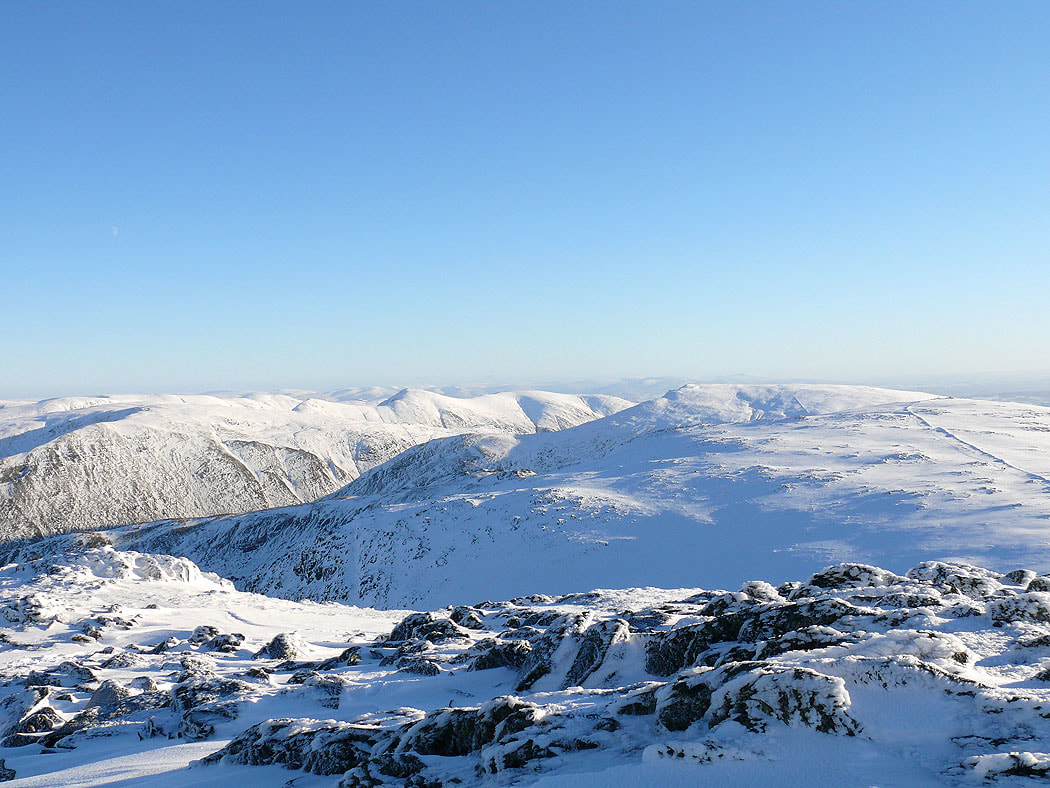
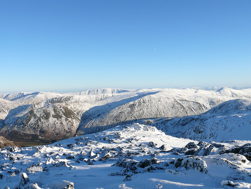
On Hart Crag looking towards the far eastern fells
Ill Bell, Red Screes and Dove Crag
Helvellyn from Hart Crag
High Street from Hart Crag
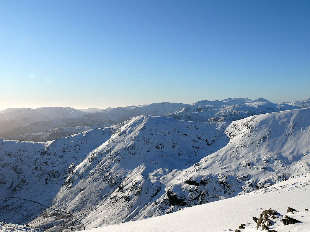
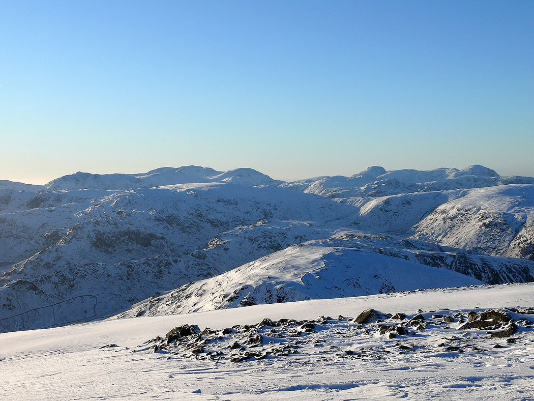
The Coniston fells, Crinkle Crags, Bowfell and the Scafells. The fell in front is Great Rigg.
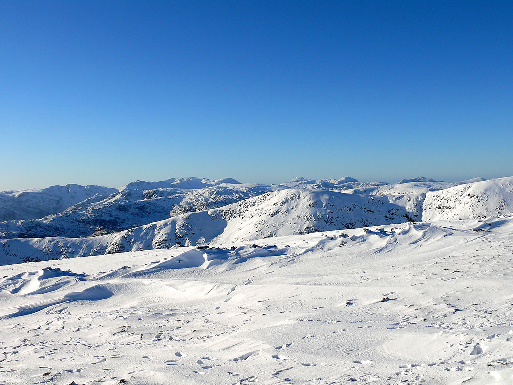
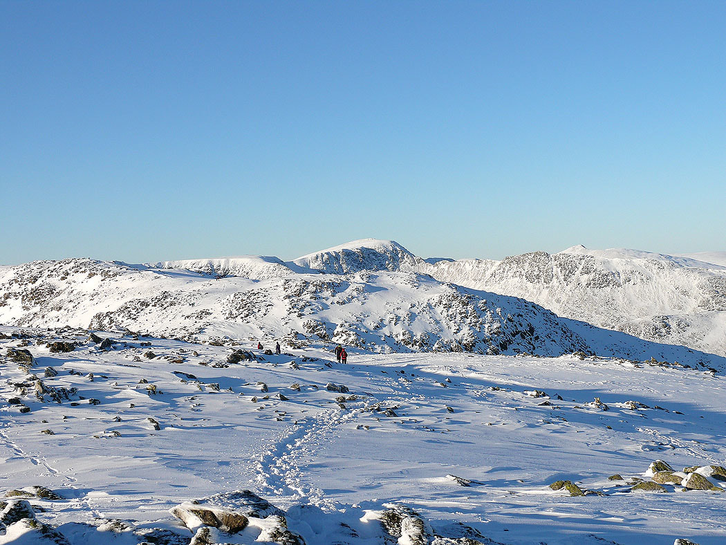
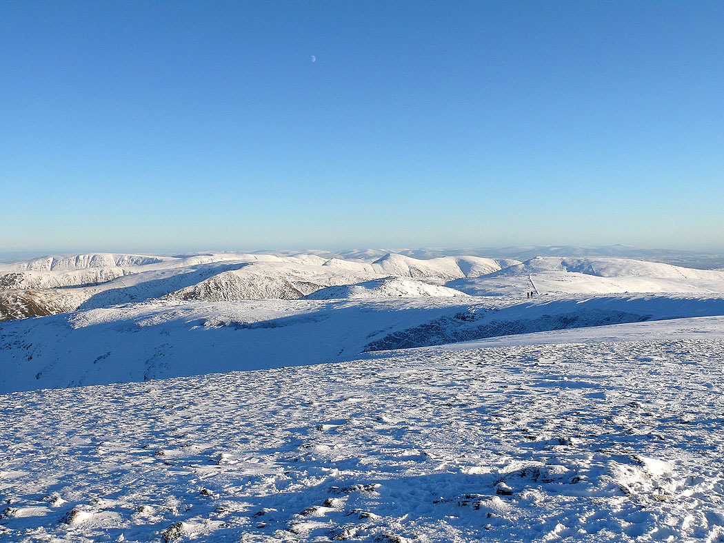
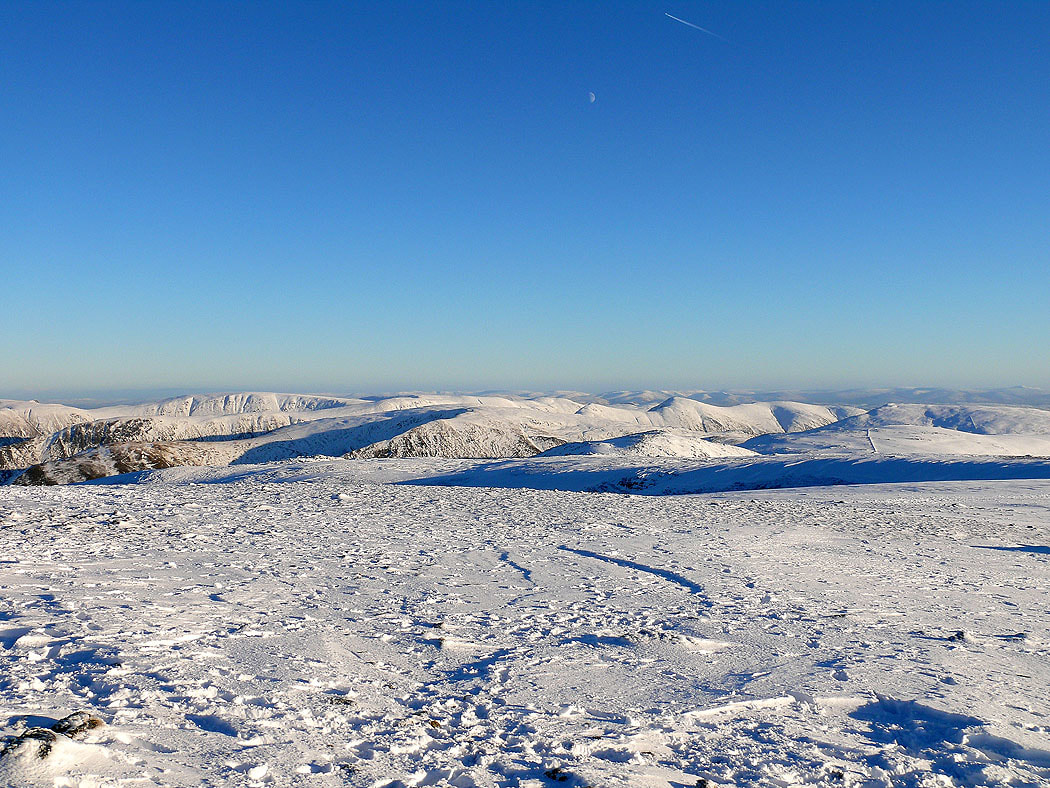
On the summit of Fairfield with a view across to the far eastern fells and beyond
Helvellyn from Fairfield
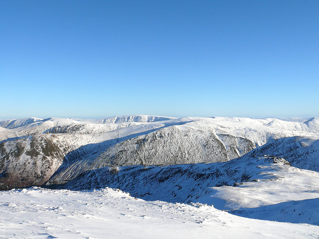
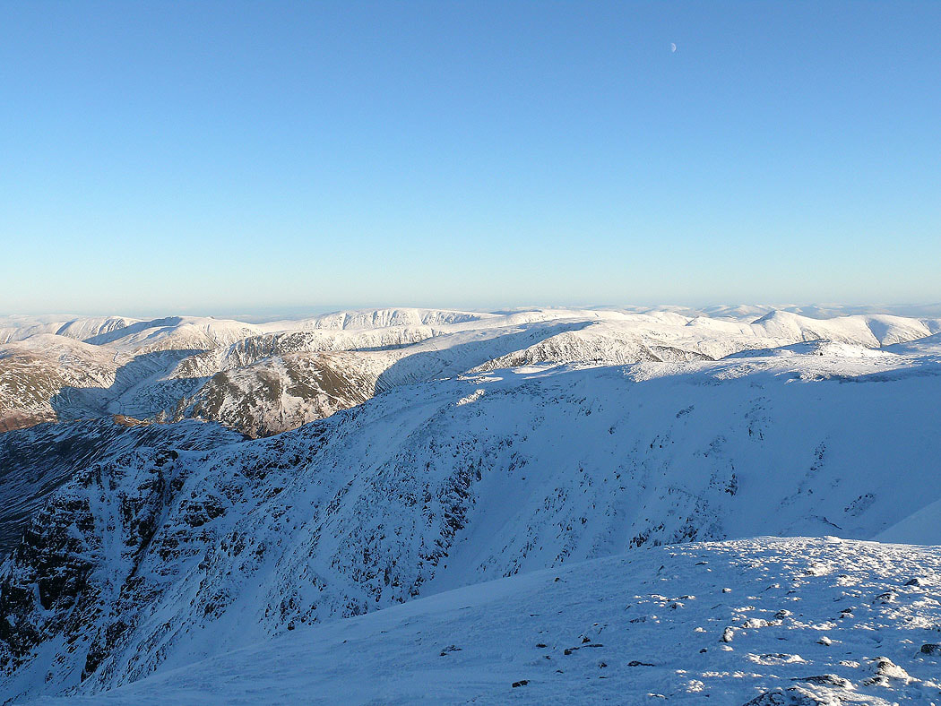
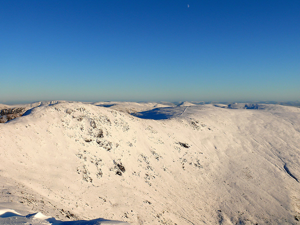
High Street and the far eastern fells
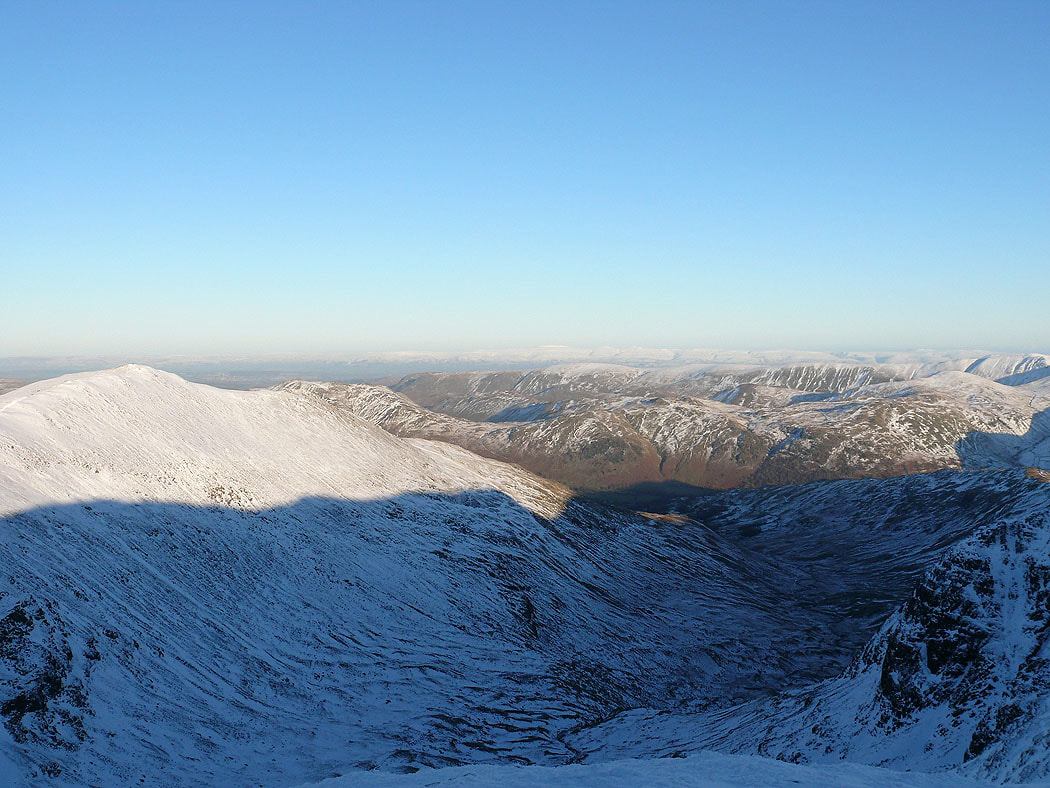
St. Sunday Crag and Deepdale with Cross Fell and the North Pennines in the far distance
The Coniston fells, Crinkle Crags, Bowfell and the Scafells
Zooming in on Bowfell, Scafell Pike, Great End, Great Gable and Pillar
Looking across the summit of Fairfield to the far eastern fells
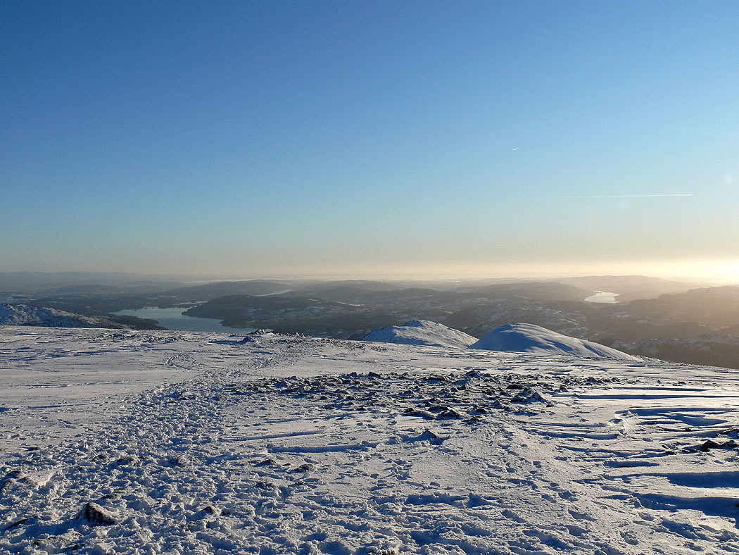
Windermere and Coniston Water
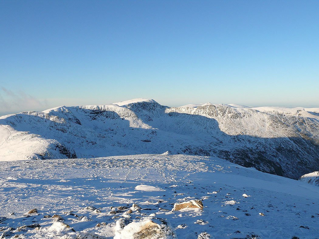
Hart Crag and Dove Crag
Heading for Great Rigg
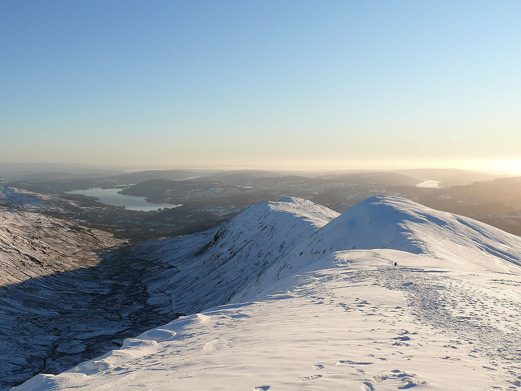
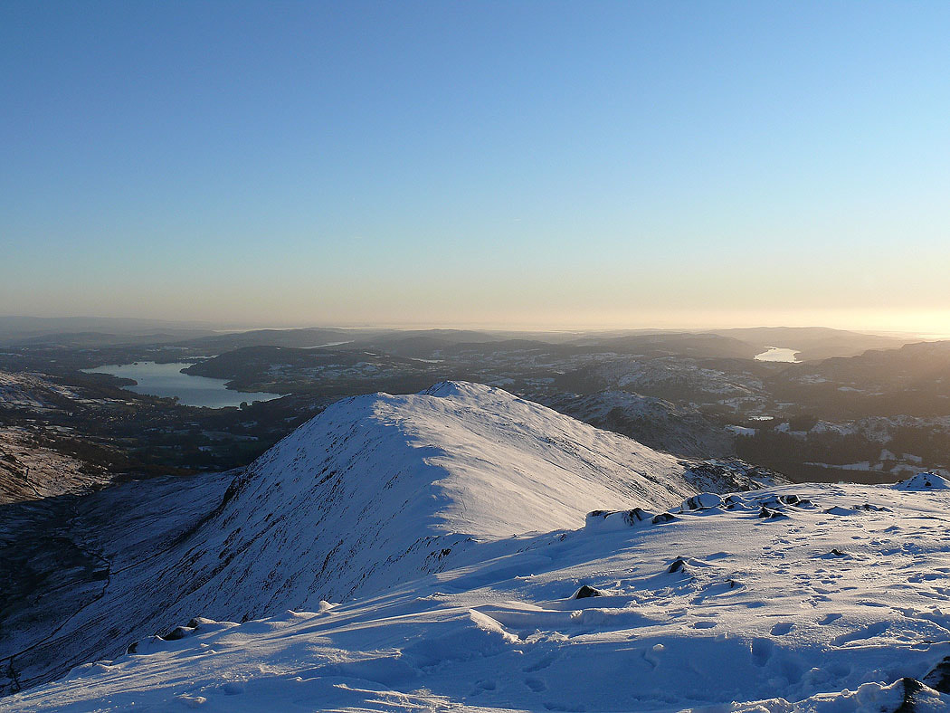
The view down the ridge to Heron Pike from Great Rigg
The Crinkle Crags, Bowfell, the Scafells, Great Gable and Pillar from Great Rigg
Great Gable, Pillar, the High Stile range and the northwestern fells from Great Rigg
On Erne Crag looking back up to Fairfield
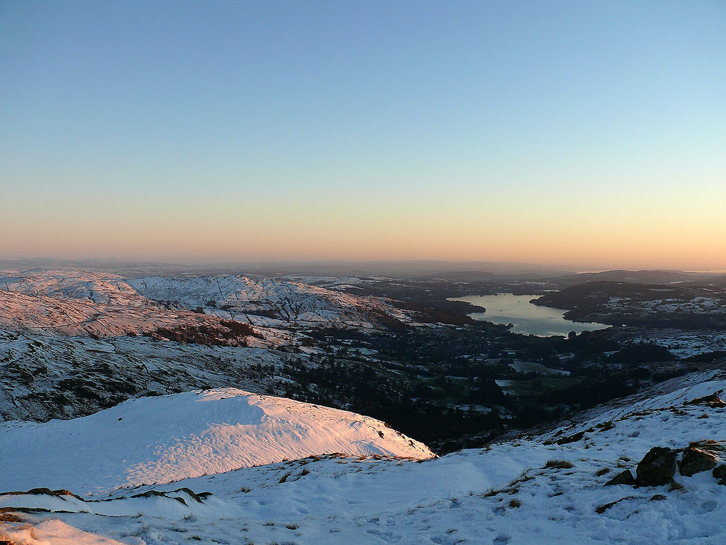
Windermere
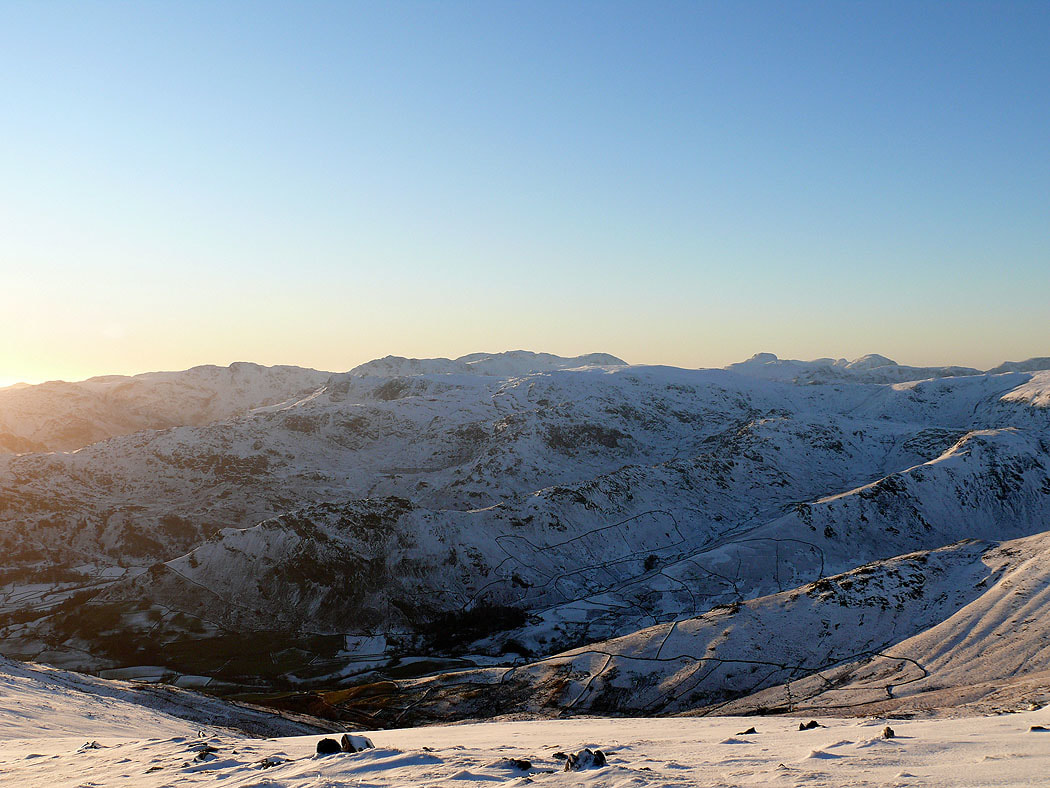
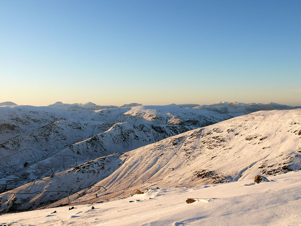
The Crinkle Crags, Bowfell and the Scafells
Zooming in
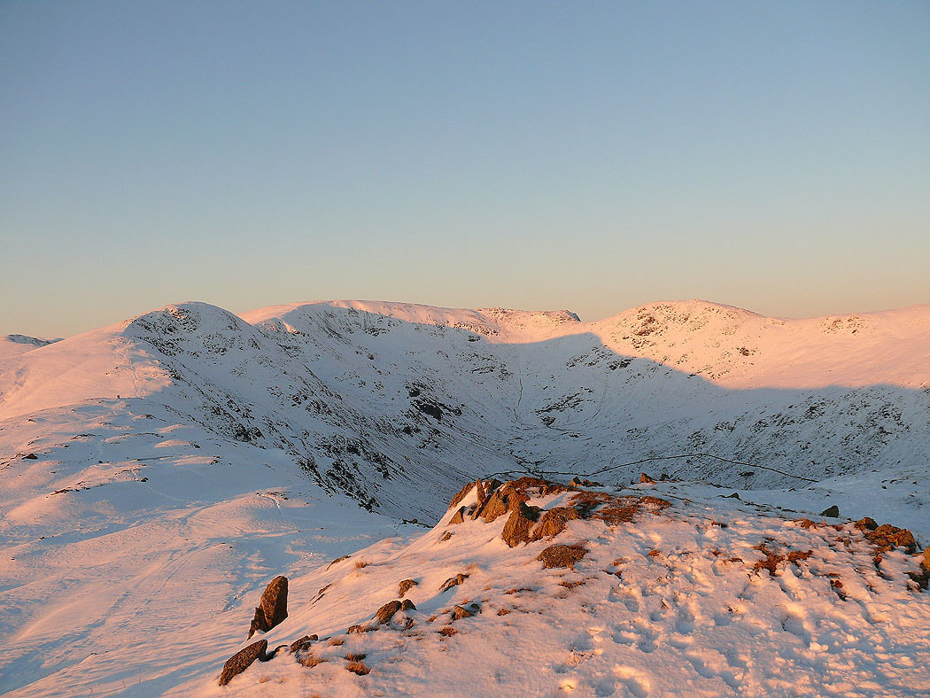
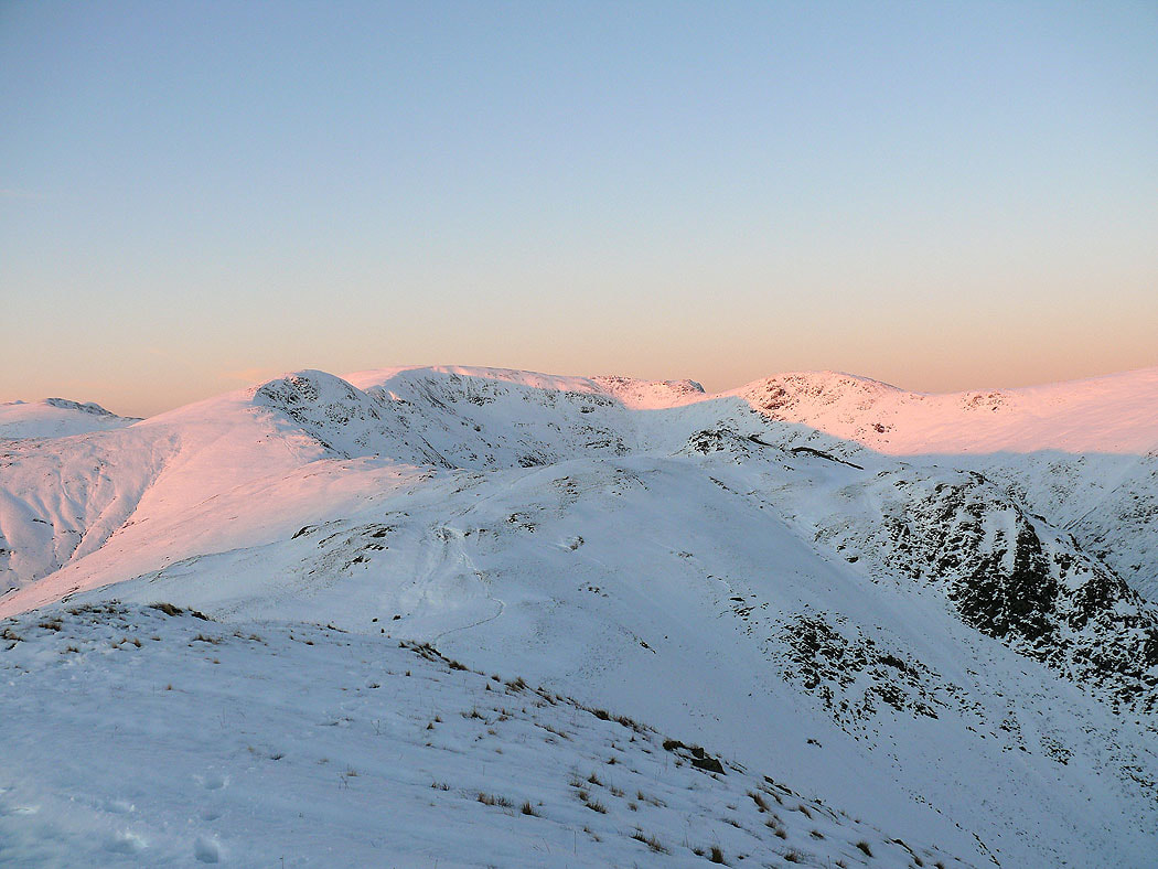
On Heron Pike looking back round the horseshoe
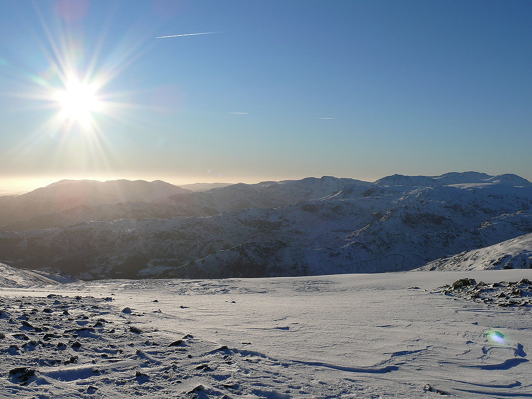
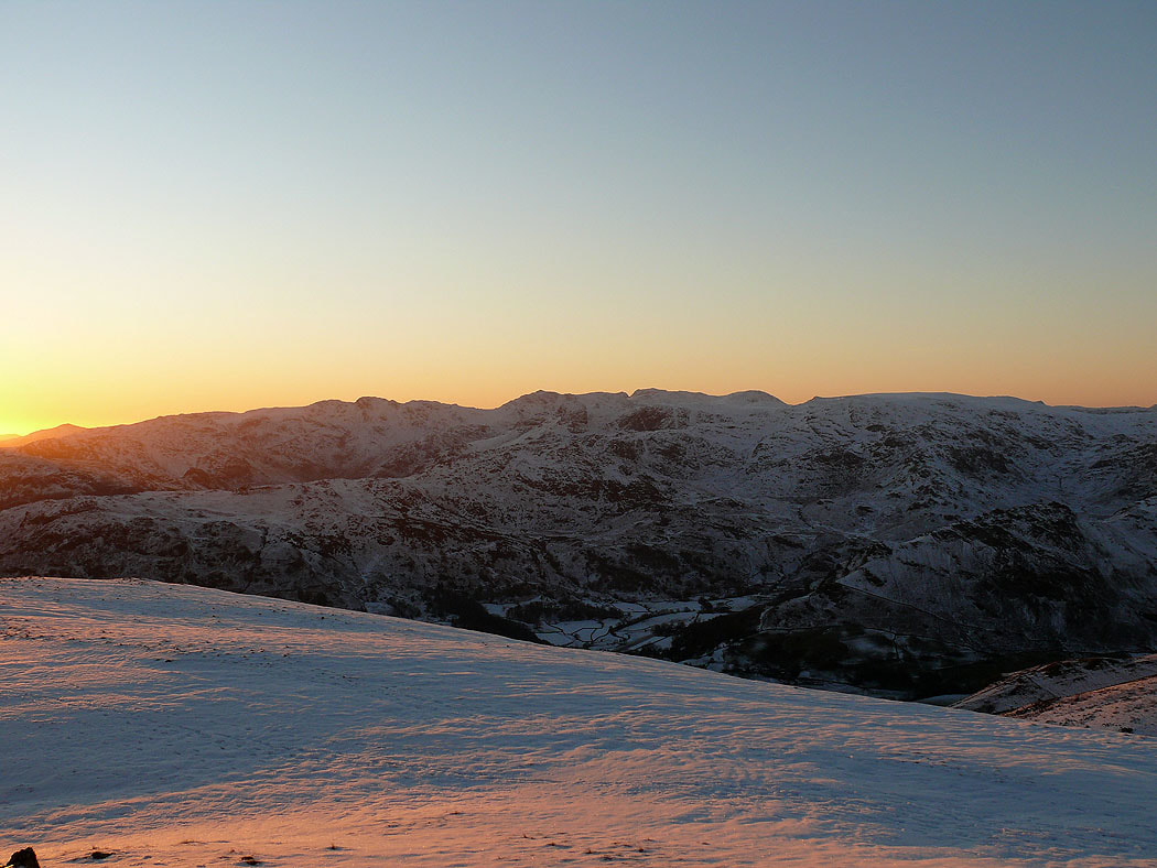
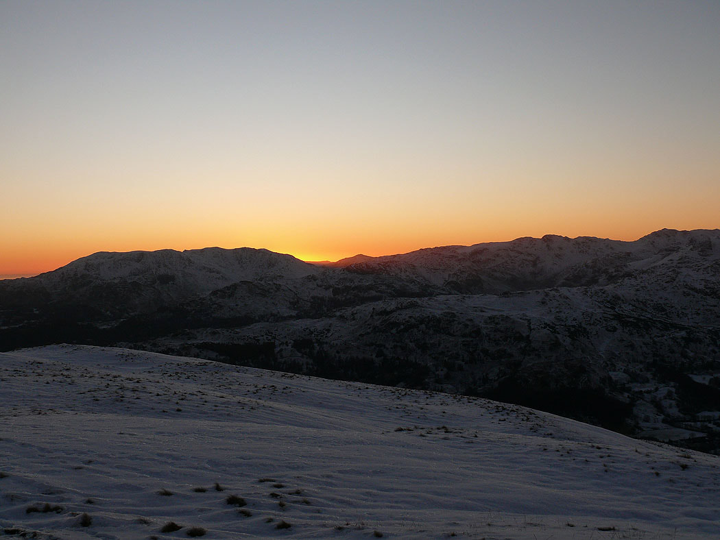
The sun sets behind the Coniston fells
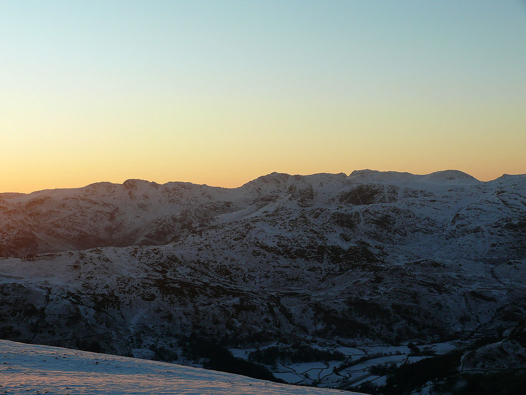
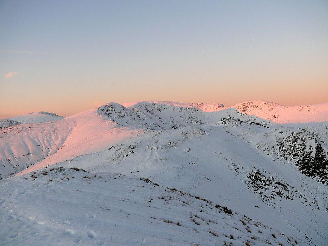
One last shot
