6th December 2010 - Home and Holcombe Moor
Walk Details
Distance walked: 2.2 miles
Total ascent: 521 ft
OS map used: 287 - West Pennine Moors
Time taken: 1.5 hrs
Route description: Peel Tower car park, Holcombe-Peel Tower-Holcombe Moor-Peel Tower-Peel Tower car park, Holcombe
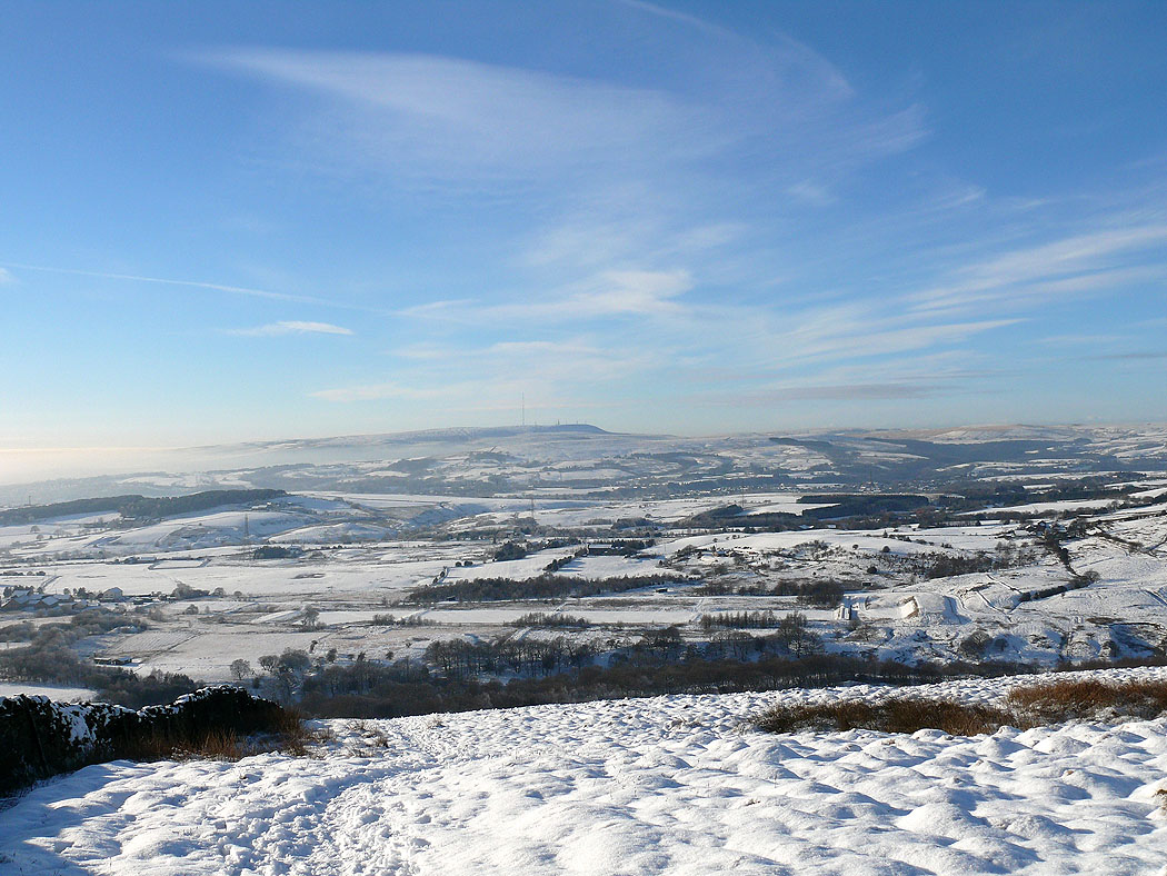
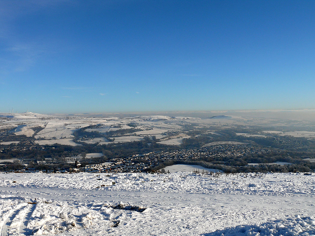
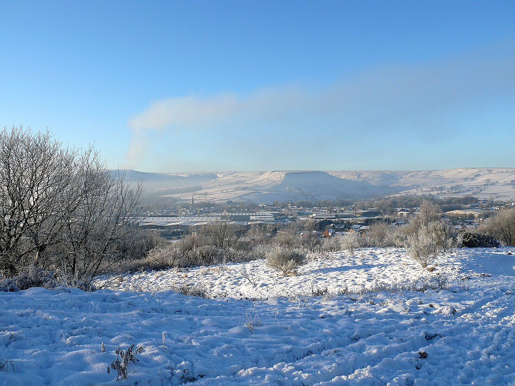
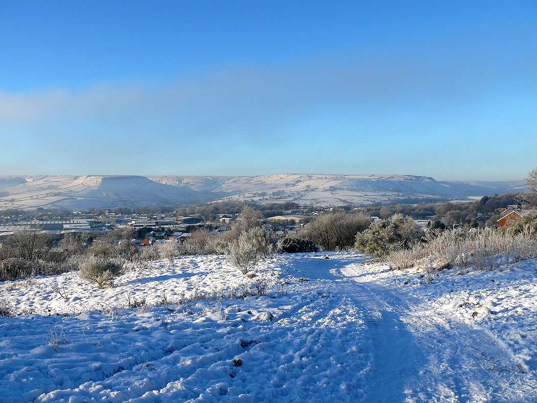
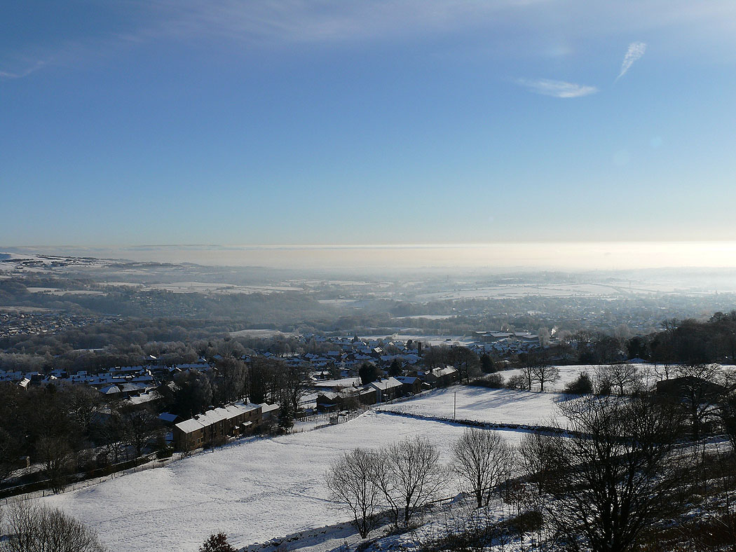
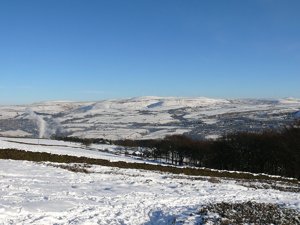
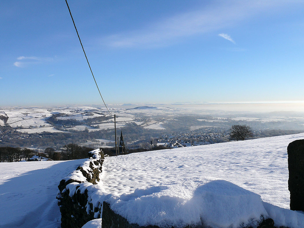
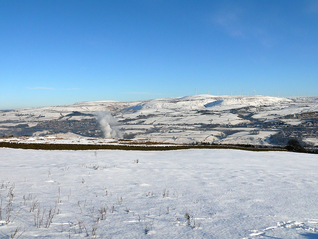
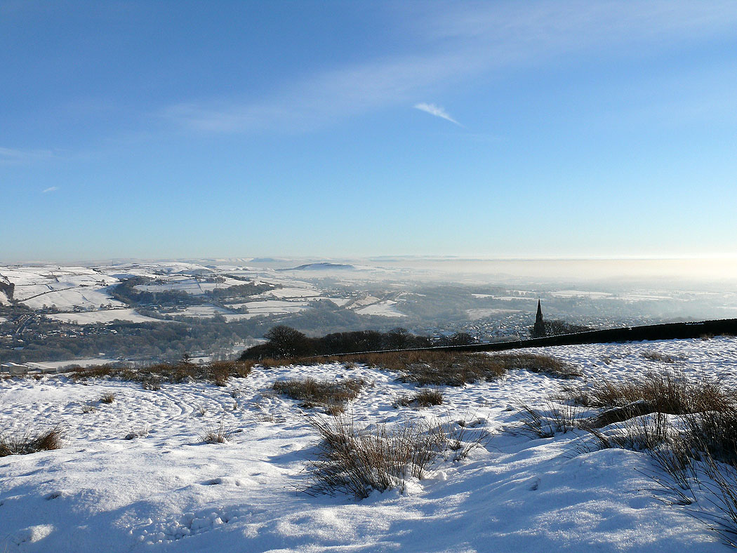
A few photos taken from the hillside above where I live and then from Holcombe Moor later that day.
Total ascent: 521 ft
OS map used: 287 - West Pennine Moors
Time taken: 1.5 hrs
Route description: Peel Tower car park, Holcombe-Peel Tower-Holcombe Moor-Peel Tower-Peel Tower car park, Holcombe
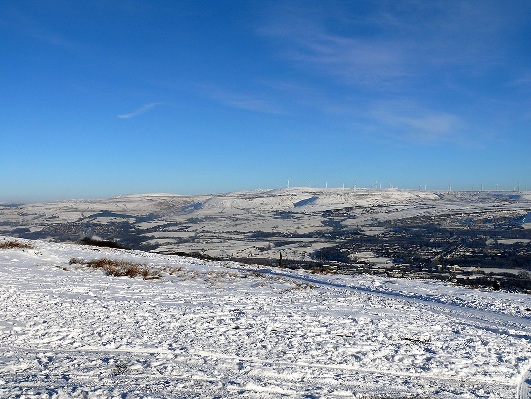
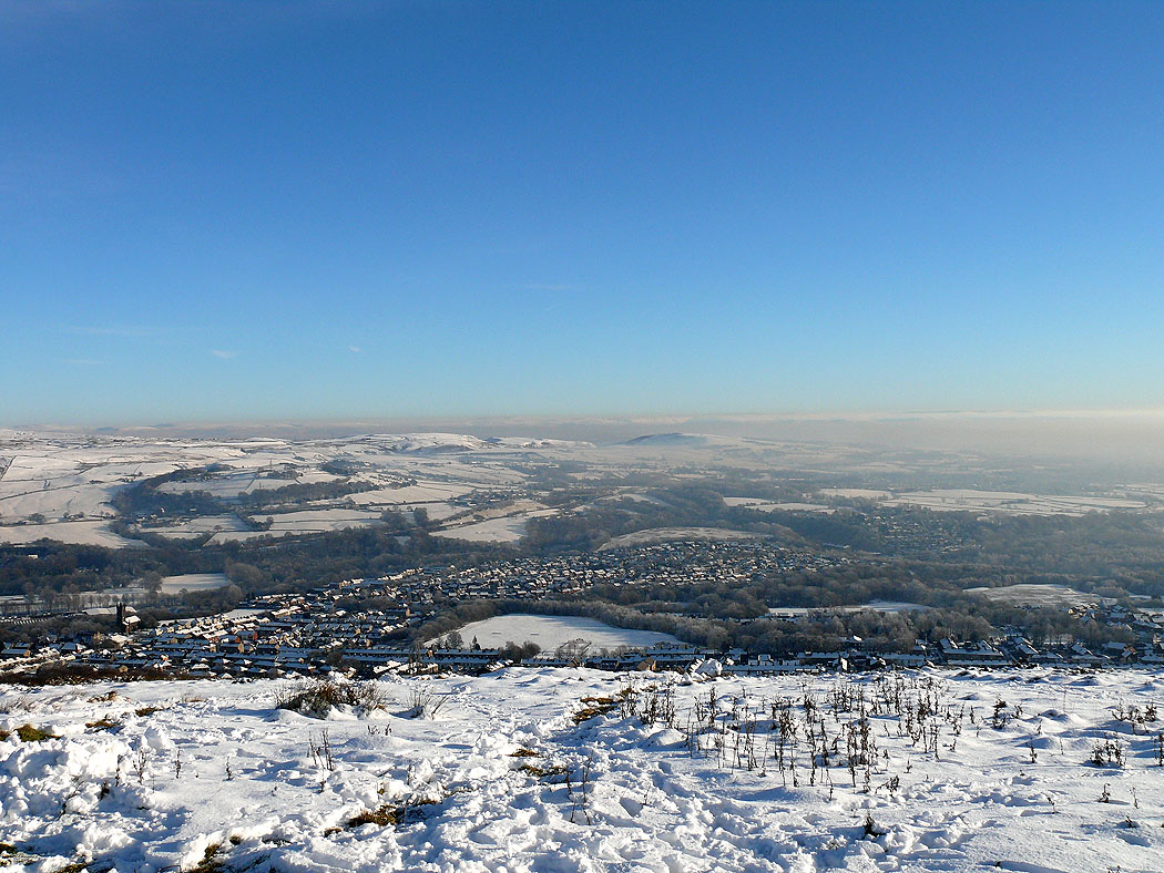
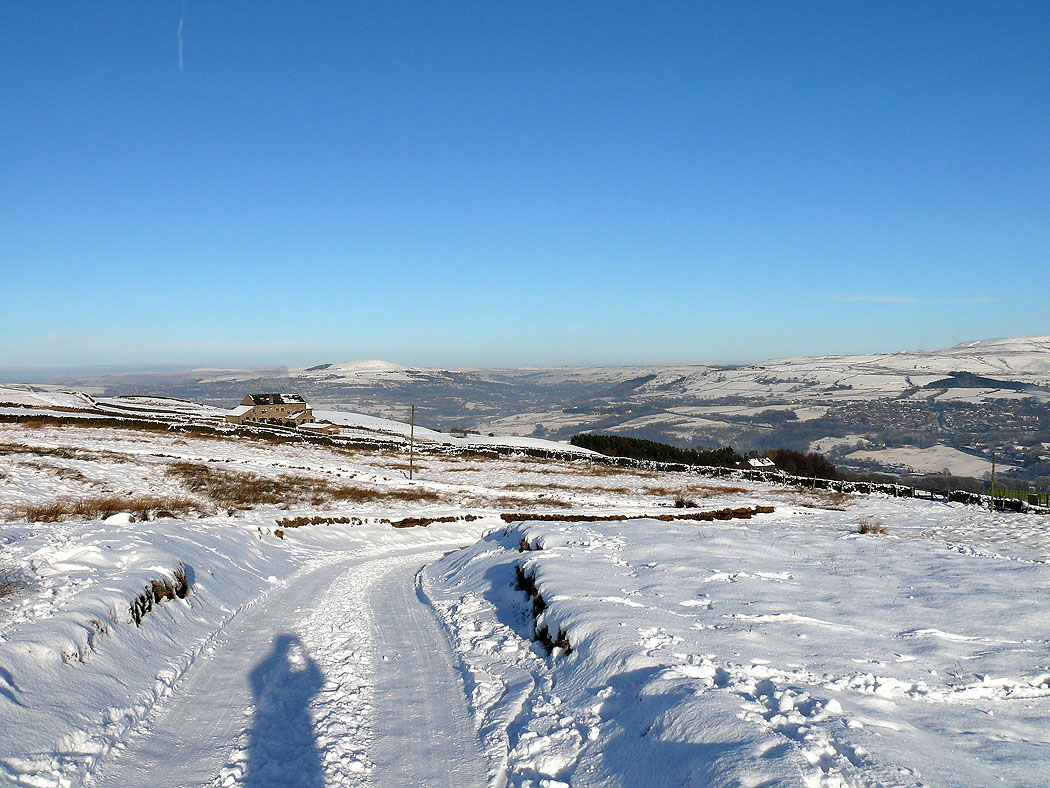
A few photos taken from the hillside above where I live and then from Holcombe Moor later that day.
Route map
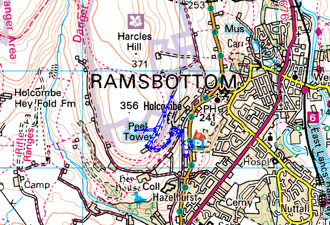
© Crown copyright. All rights reserved. License number PU 100034184.
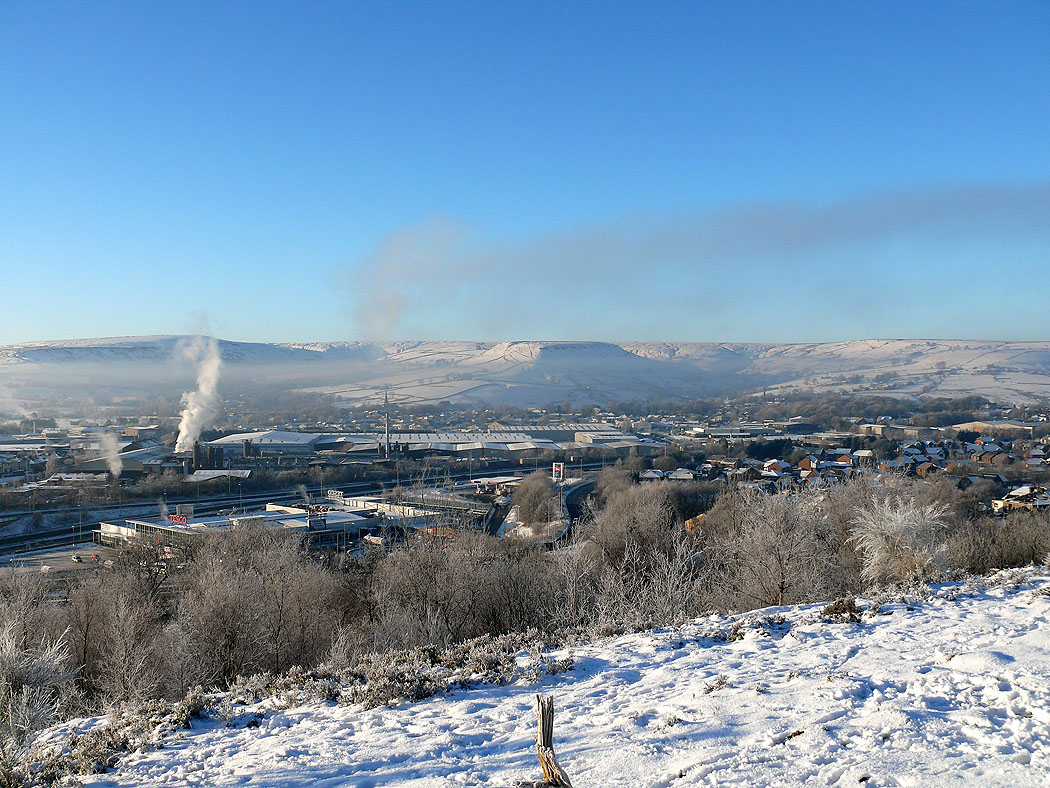
Haslingden and the West Pennine Moors
Mist over Rawtenstall
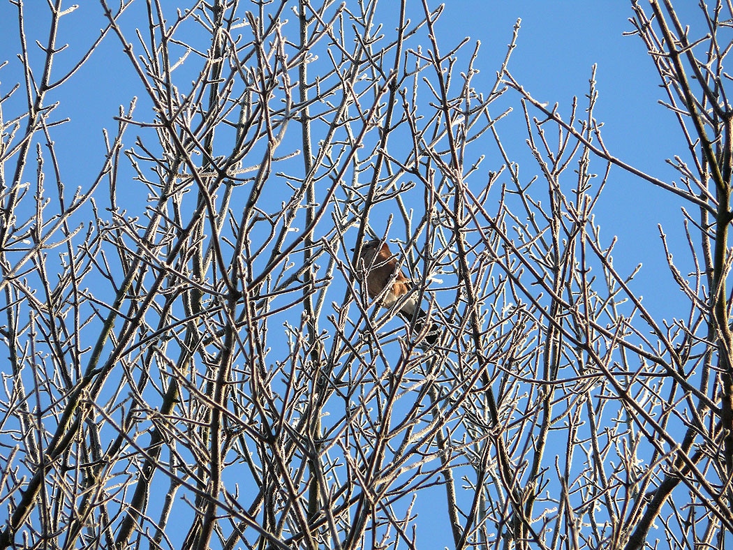
I spotted this bird in a tree outside my home
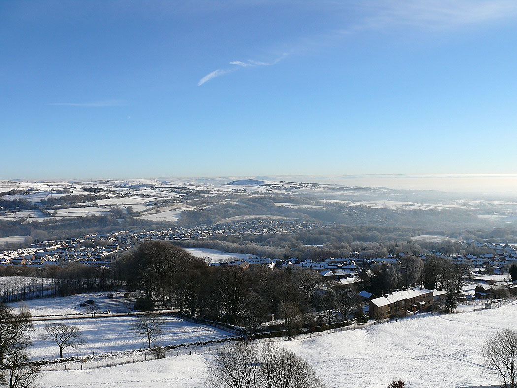
Later in the day I visited Holcombe Moor above Ramsbottom
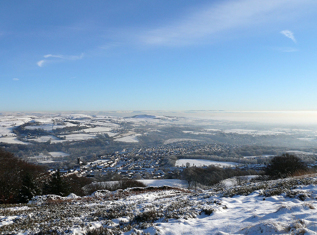
Freezing fog further south towards Manchester
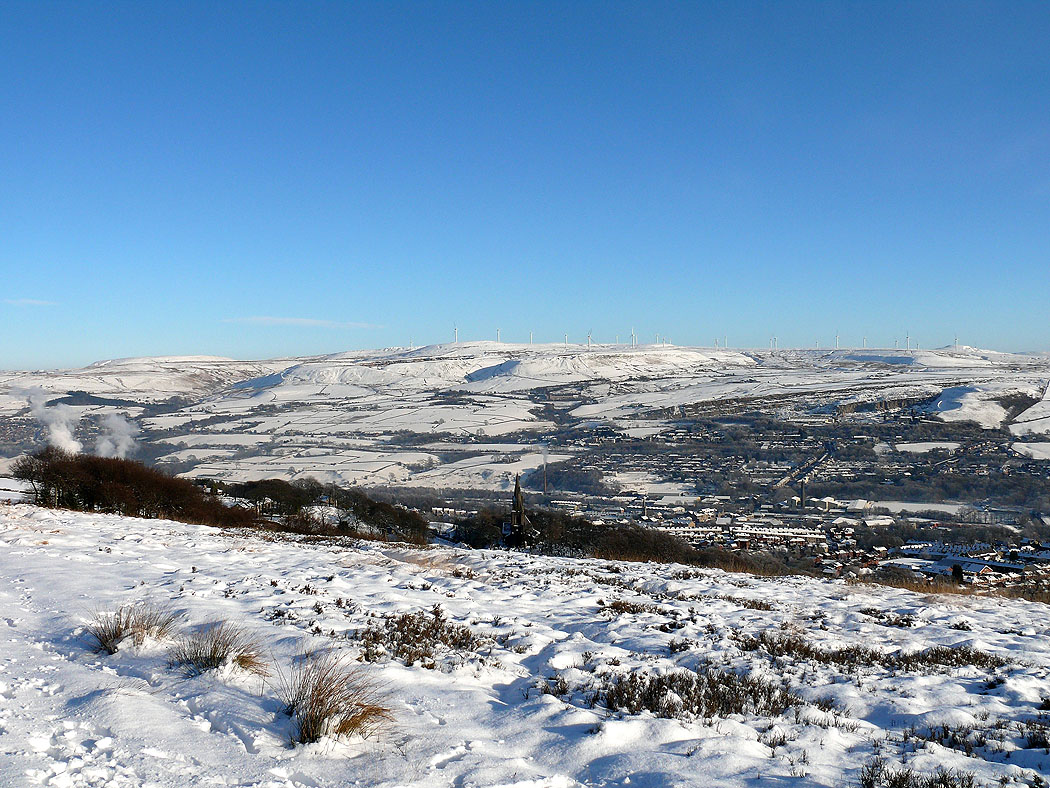
South Pennines with the wind turbines on Scout Moor
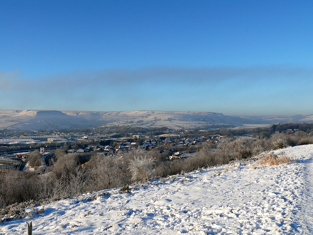
The town of Ramsbottom below
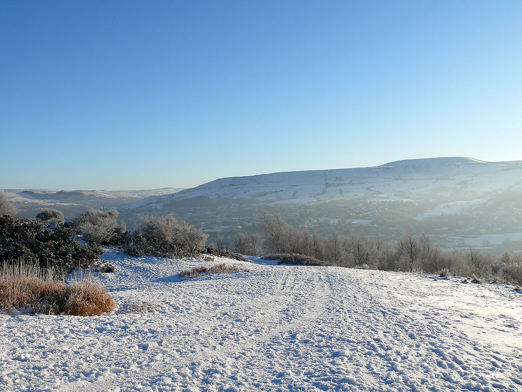
Looking up the Rossendale Valley
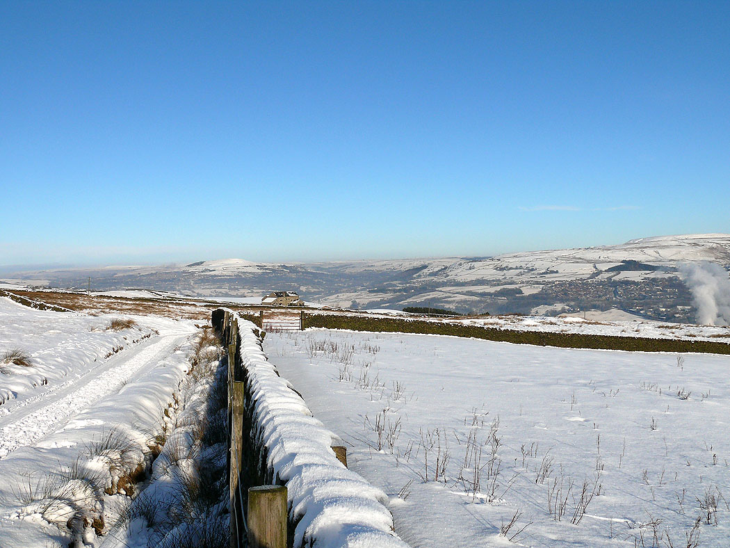
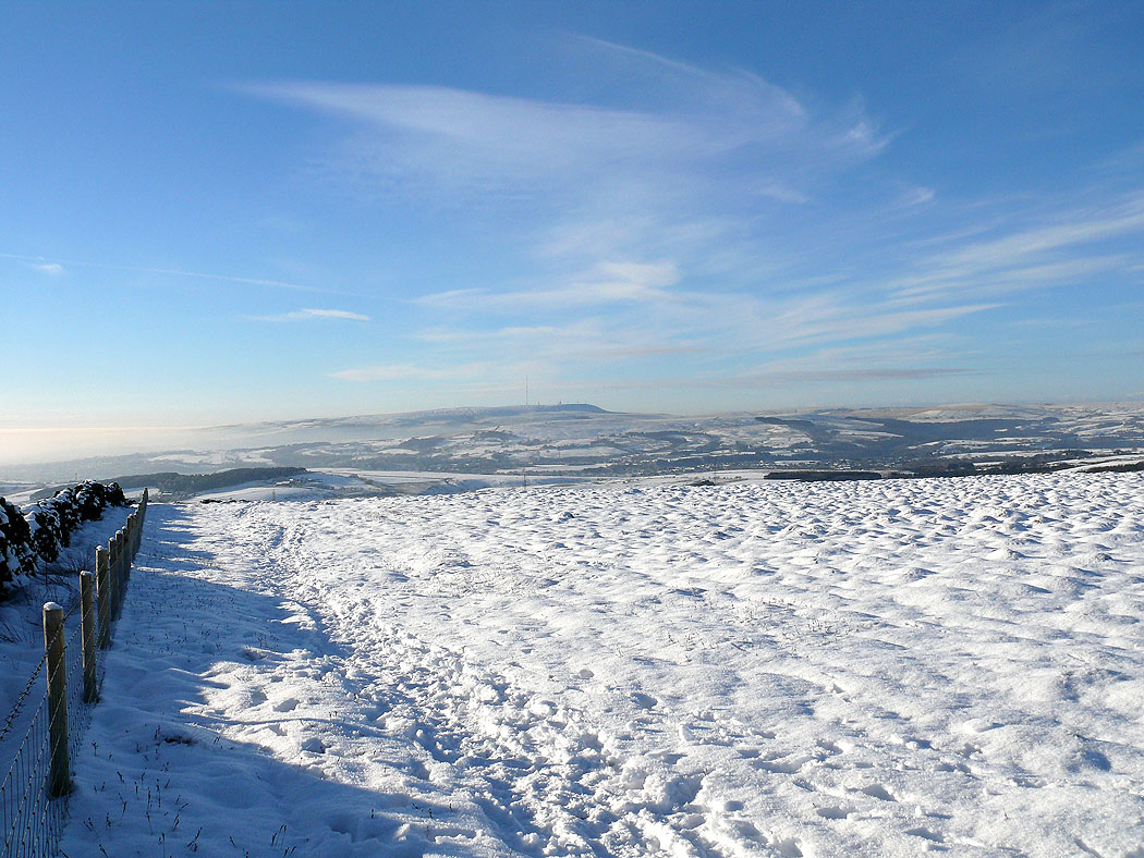
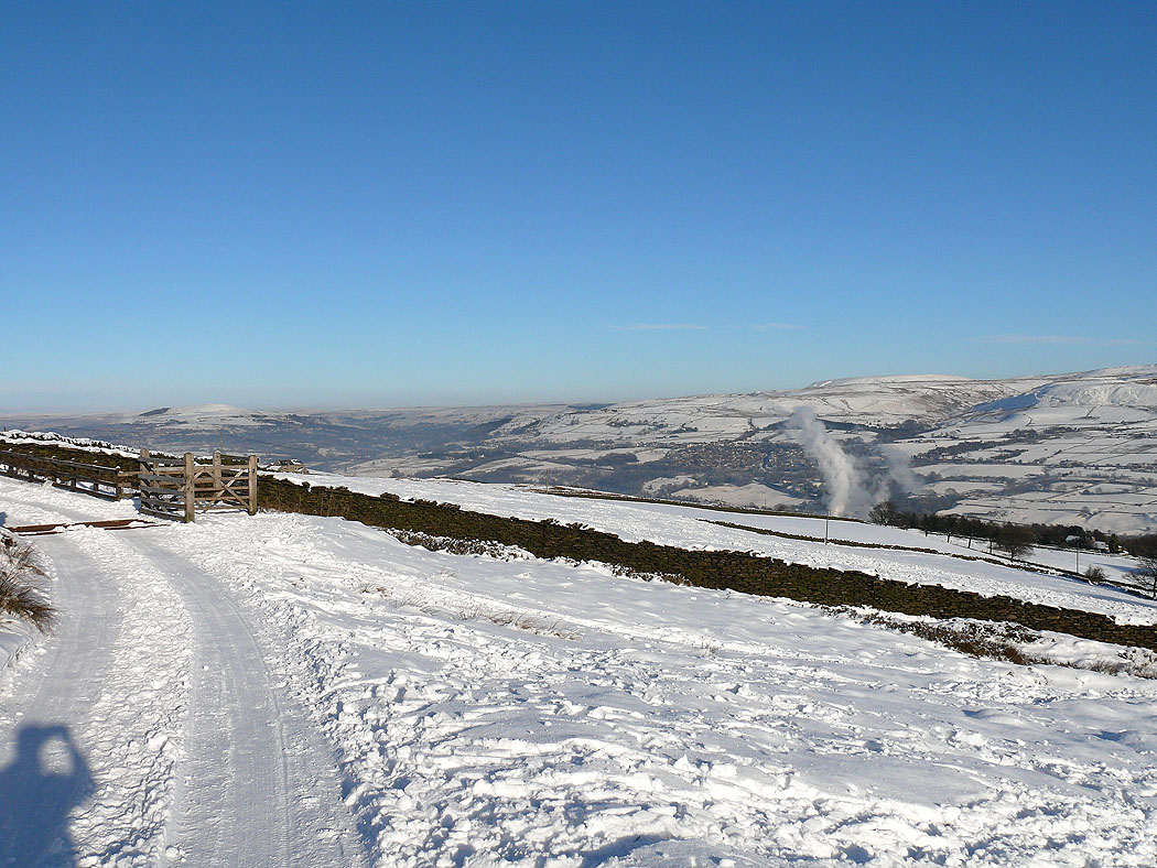
Winter Hill, living up to its name today