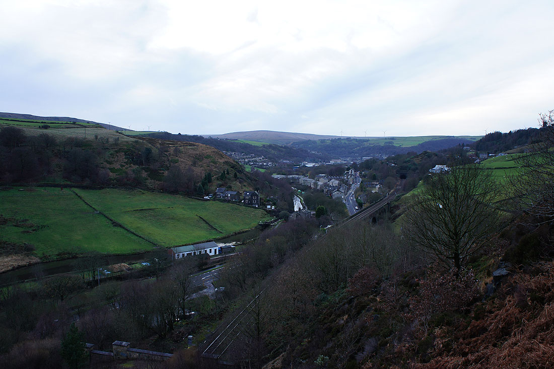
6th December 2015 - Bride Stones Moor
Walk details
Distance walked: 5.9 miles
Total ascent: 1234 ft
OS map used: OL21 - South Pennines
Time taken: 3 hrs
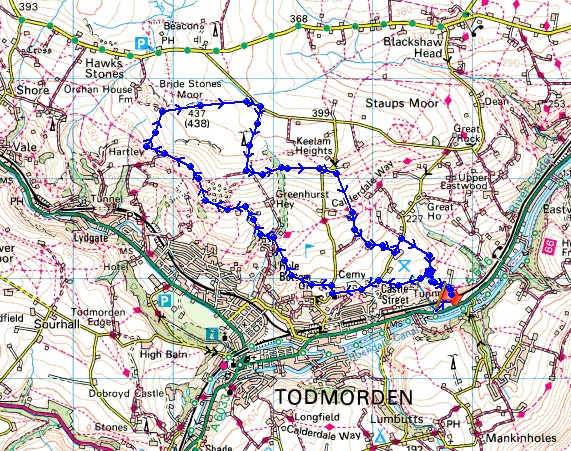
Route description: Lobb Mill picnic site on A646-Rodwell End-Cross Stone-Todmorden Golf Club-Calderdale Way-Bride Stones Moor-Eastwood Road-Todmorden Centenary Way-Lower Winsley Farm-Higher Ashes Farm-Lower Ashes Farm-Matthew Lane-Rodwell End-Lobb Mill picnic site on A646
Although it was wet where I live yesterday it was nothing compared to the deluge unleashed by Storm Desmond further north in Lancashire and Cumbria. My thoughts go out to those affected by the flooding. The last of the rain finally cleared this morning and it started to show signs of brightening so I stayed local for a short walk to Bride Stones Moor in Calderdale. It was windy but at least it was dry and the sun managed to make an appearance.
From the car park/picnic site on the A646 I made my way uphill to the hamlet of Rodwell End and then along the bridleway to Cross Stone. Another bridleway took me past Todmorden Golf Club, onto the Calderdale Way and under the Whirlaw Stones. Not far past here I turned right and made my way up onto Bride Stones Moor. After taking in the view I walked out to Eastwood Road and after a short walk east turned right to head down the lane past Windy Harbour Farm. At the end of the lane I turned left and followed the Todmorden Centenary Way across the hillside to the road at Lower Winsley Farm. A bridleway then took me down the hillside past Higher and Lower Ashes Farms to the road at Rodwell Head Farm. After a brief walk north along the road I turned right onto the bridleway of Matthew Lane which took me back to Rodwell End and the descent back to the car park.
Route map
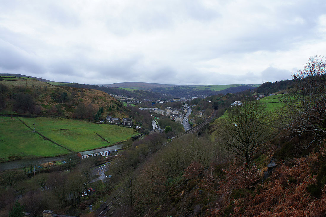
Todmorden and Calderdale come into view as I head uphill
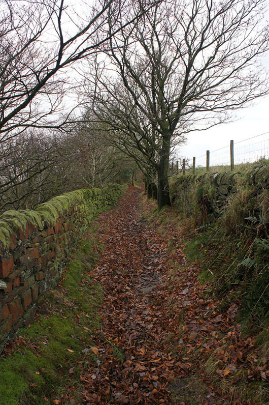
Then it's onto a bridleway to..
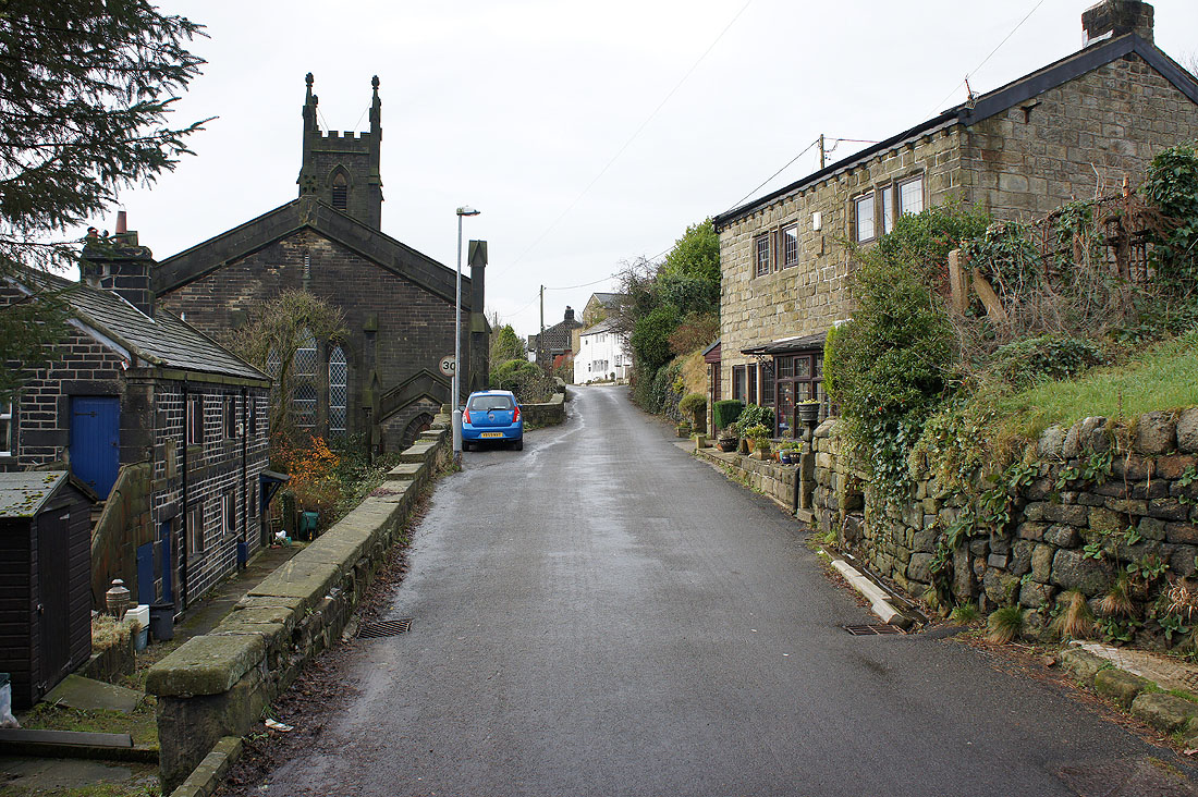
..Cross Stone
It's brightened up a bit as I pass the Whirlaw Stones
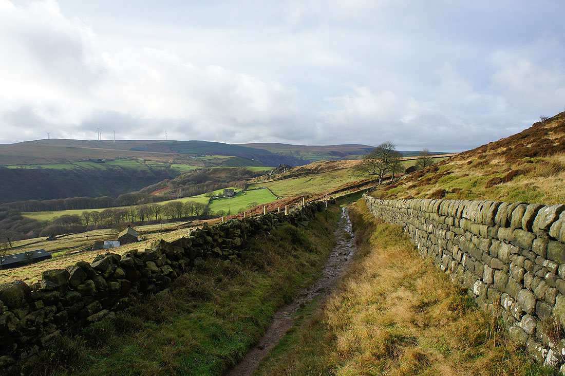
This bit of sunshine makes a big difference to the feel of the day. As I follow the bridleway under Bride Stones Moor I can make out Orchan Rocks on the hillside ahead.
Looking back to Whirlaw Stones
Following the Calderdale Way..
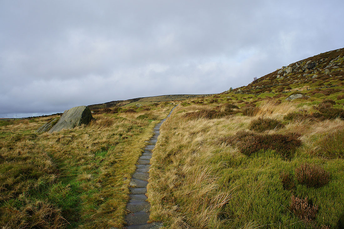
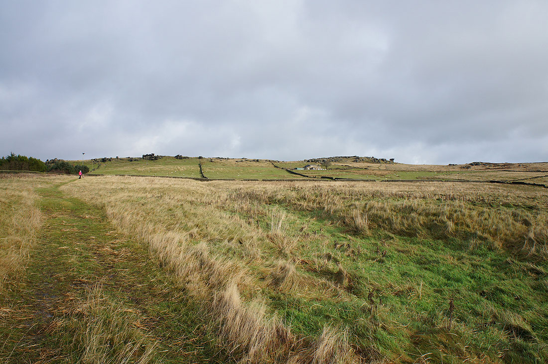
and then up onto Bride Stones Moor
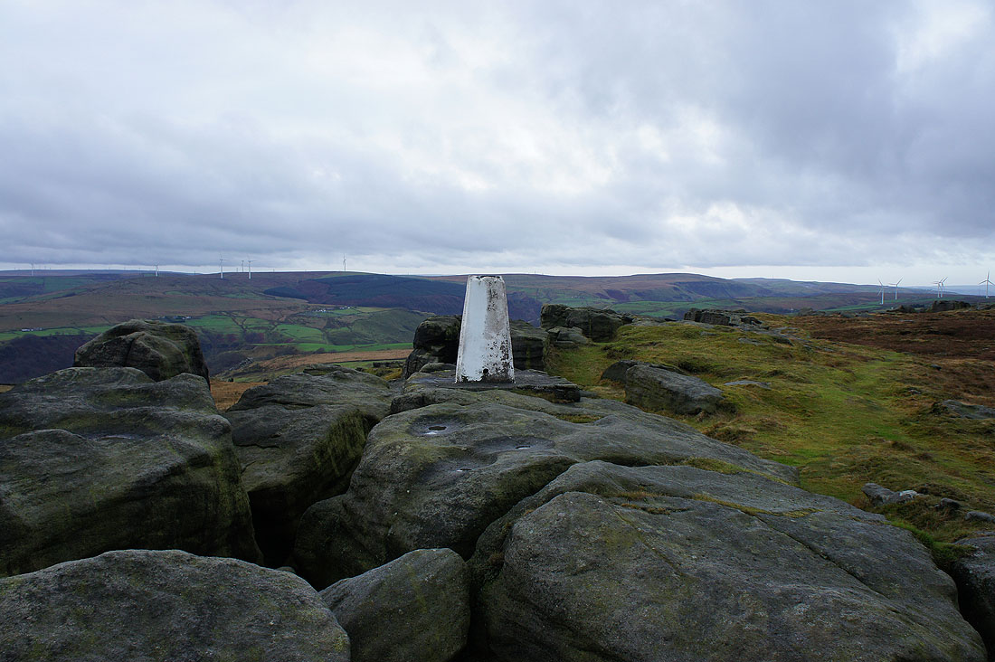
The trig point on top of the Great Bride Stones
Thieveley Pike and Cliviger
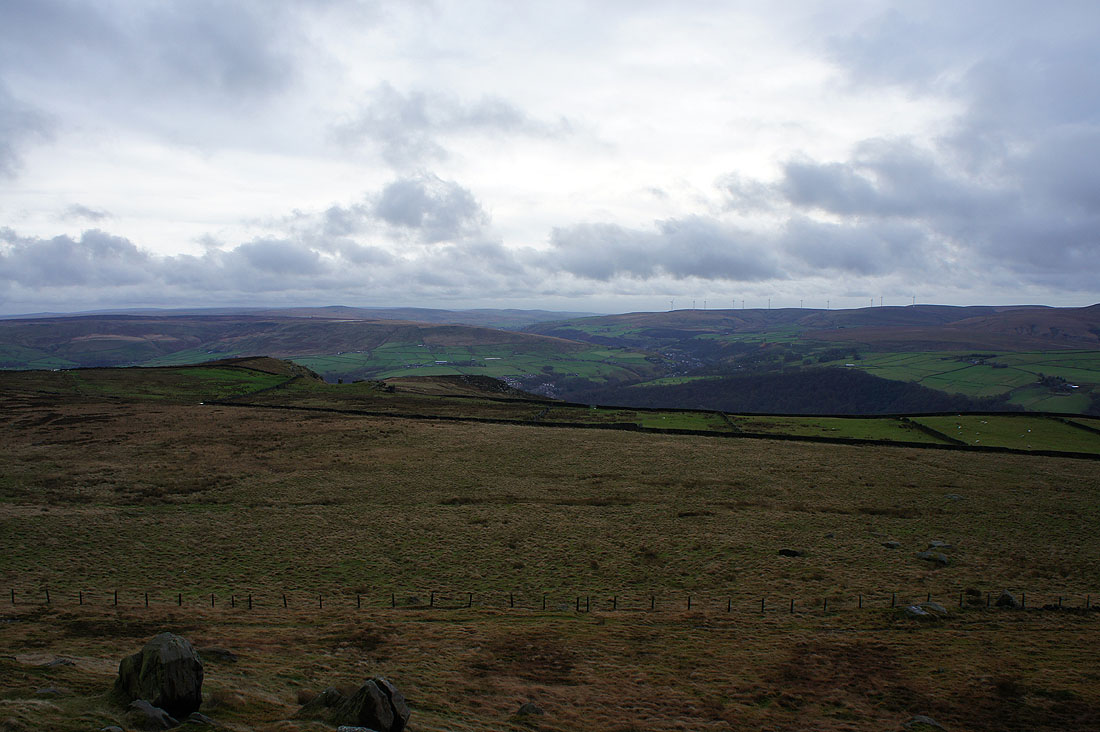
Looking south towards Blackstone Edge
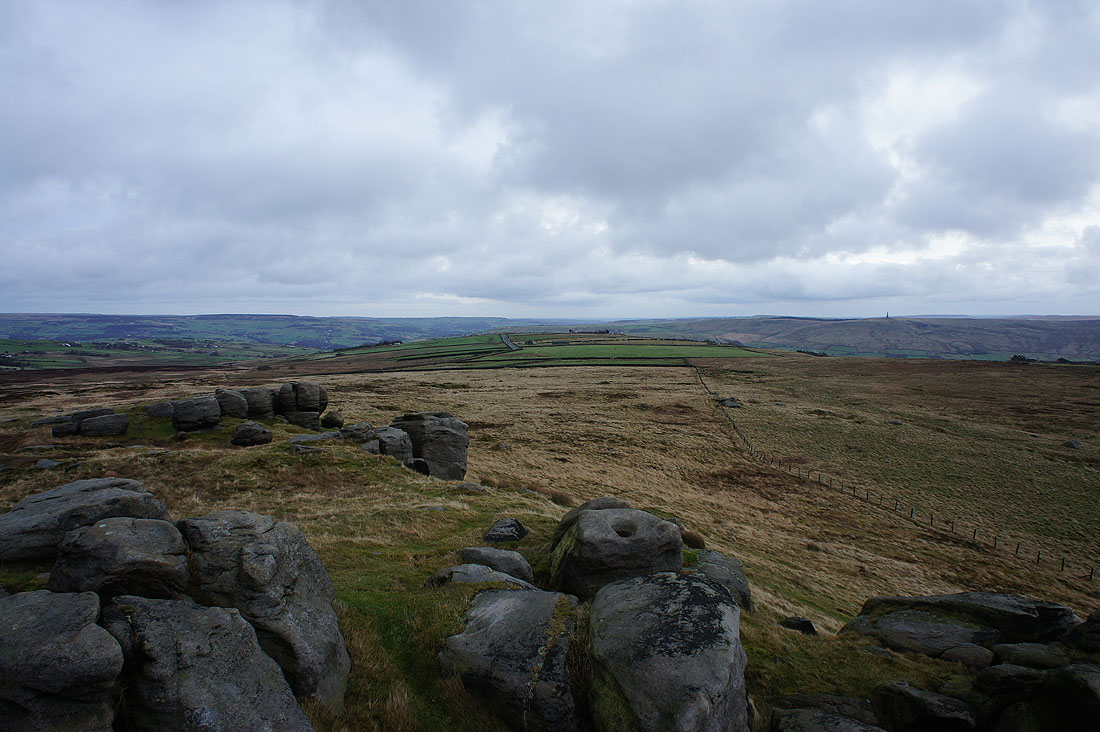
Down Calderdale towards Hebden Bridge and Stoodley Pike
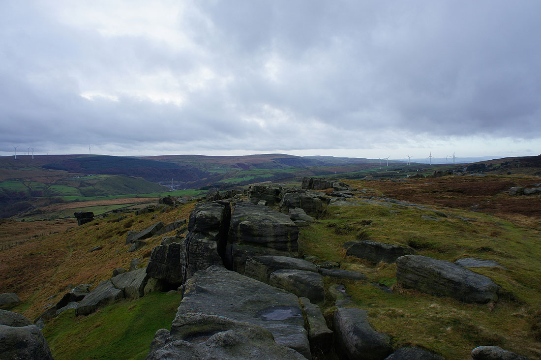
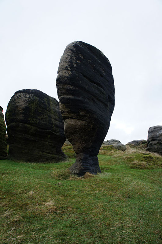
The most impressive of the Bride Stones
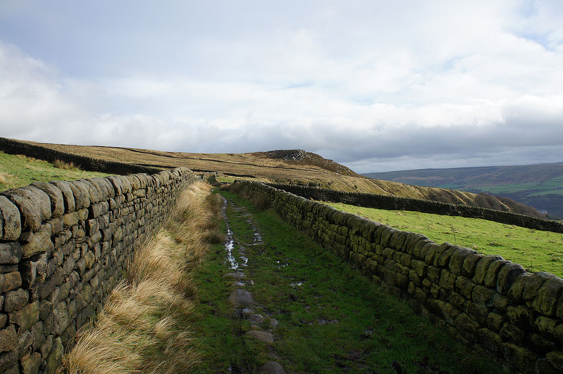
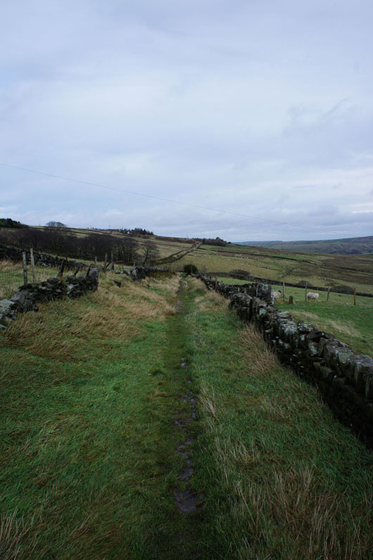
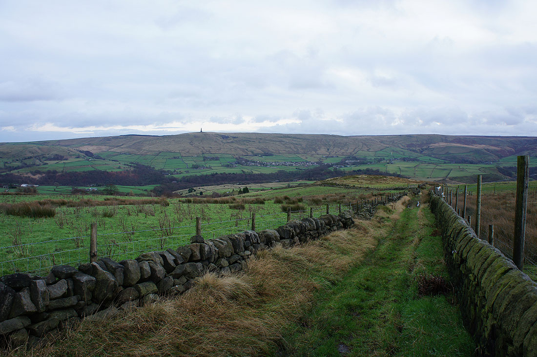
My route back takes me across the hillside on the Todmorden Centenary Way
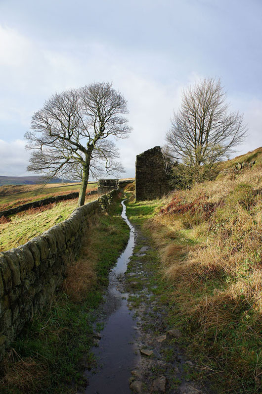
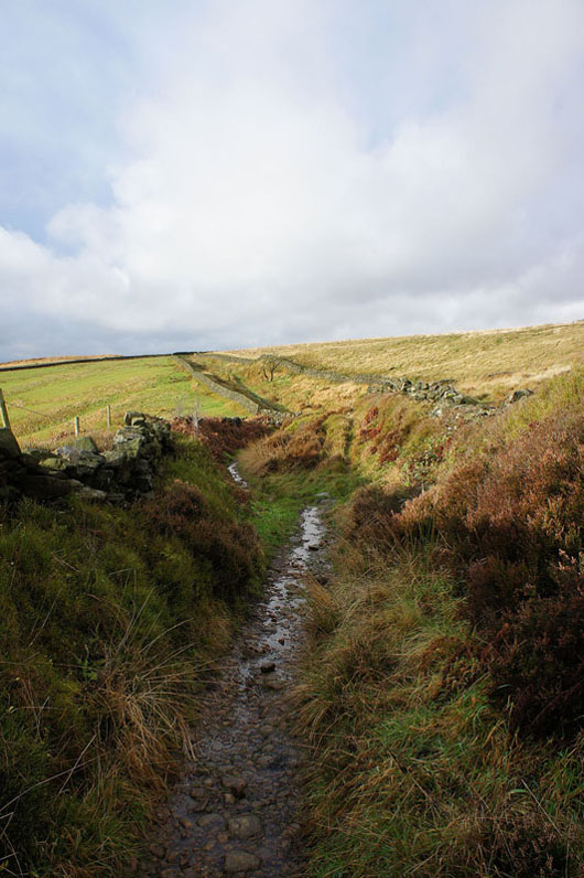
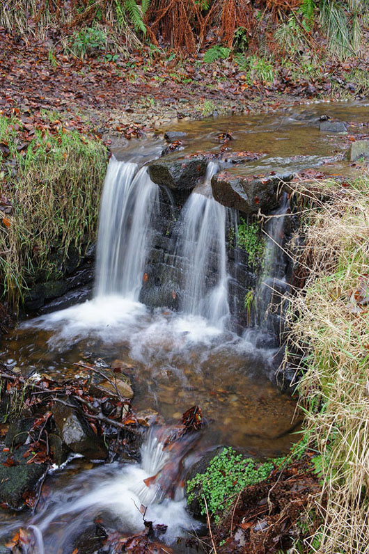
Streams are overflowing onto the path from yesterdays rain
Down a bridleway into Calderdale to Higher Ashes Farm..
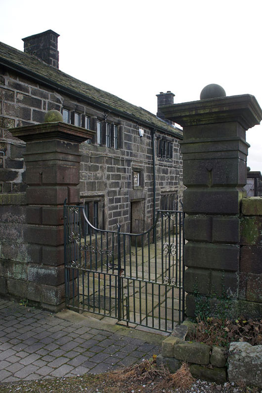
..and past Lower Ashes Farm
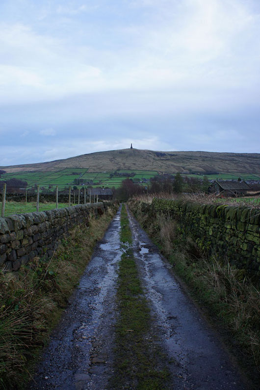
Stoodley Pike ahead as I approach Rodwell End..
..and the descent back to the car park
