6th February 2015 - The Great Ridge
Walk Details
Distance walked: 7.5 miles
Total ascent: 1690 ft
OS map used: OL1 - The Peak District, Dark Peak area
Time taken: 5.5 hrs
Route description: Hope-Losehill Farm-Lose Hill-Back Tor-Barker Bank-Hollins Cross-Mam Tor-Hollins Cross-Hollowford Road-Hollowford Centre-Losehill Hall-Spring House Farm-Hope
The Peak District bore the brunt of the heaviest snowfall at the end of last week. A persistent line of snow showers on Friday morning dumped a lot of snow to the south of Manchester and across Cheshire and Derbyshire which resulted in Manchester Airport closing its runways for several hours and the Woodhead and Snake Passes and the Cat & Fiddle road being closed. I was hoping to do a snowy walk in the Peak District before it melted but it's not just choosing a safe route to do, there's deciding on a safe location to start from. The Snake Pass was reopened on Wednesday and with a fine day forecast for today I chose to do this walk from Hope. It was a great day with some nice spells of sunshine especially on Mam Tor and back to Hope, though with a cold wind on the tops. The snow was pretty soft underfoot around the middle of the day.
I left Hope by the Edale Road but soon left it for the path that heads up across the fields and past Losehill Farm to the summit of Lose Hill. I then walked along the Great Ridge, visiting Back Tor, Barker Bank and Hollins Cross to the summit of Mam Tor. After enjoying the fantastic views from Mam Tor it was time to head back. I retraced my steps from Mam Tor back to Hollins Cross and I then took the path down into the Hope Valley to the Hollowford Road. I left the road at the Hollowford Training Centre, a track and then path goes across to Losehill Hall. Another track took me to Spring House Farm and then a field path below Lose Hill brought me to my outward route for a return to Hope.
Route map
© Crown copyright. All rights reserved. License number PU 100034184.
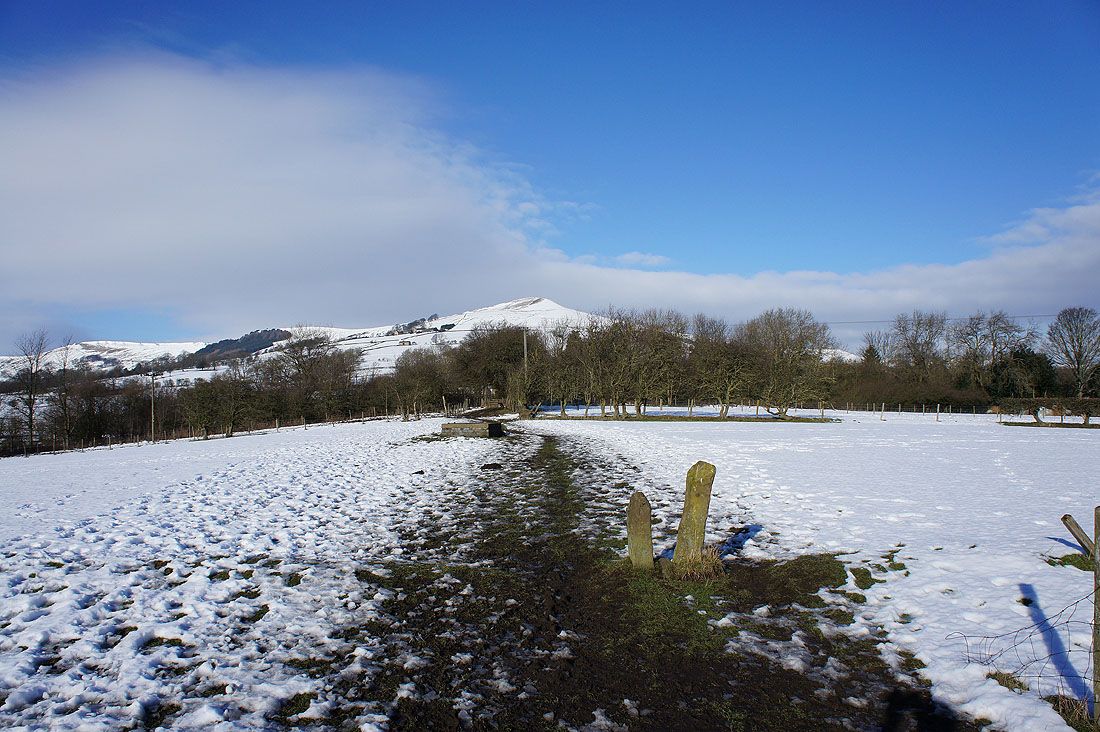
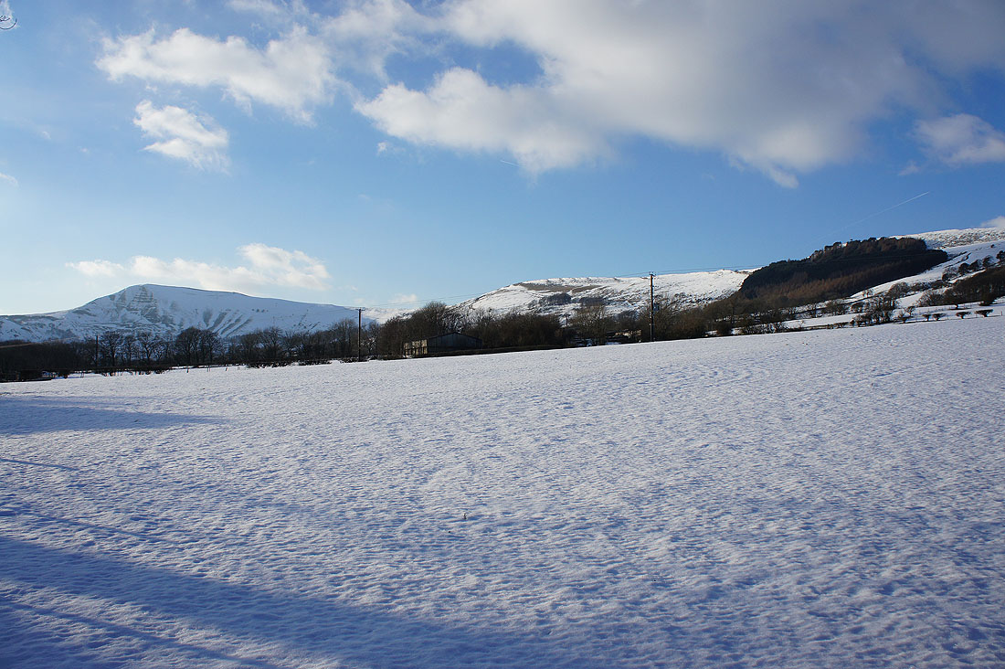
I leave Hope behind..

..and climb the snowy slopes of Lose Hill
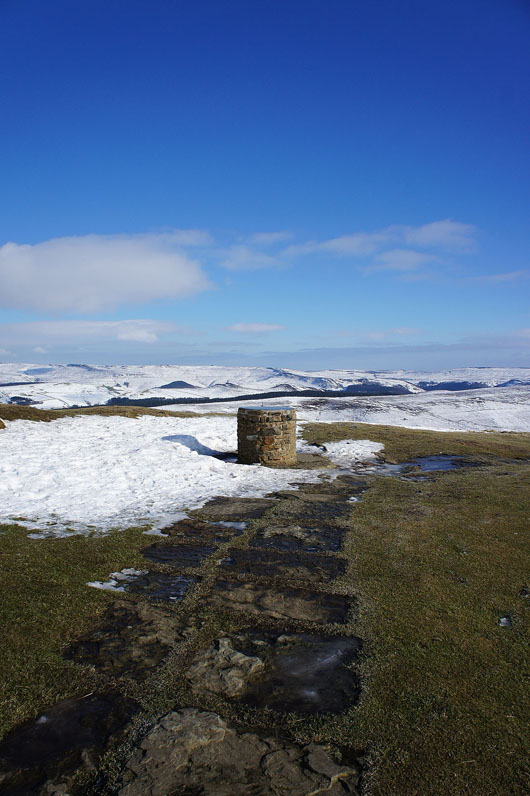
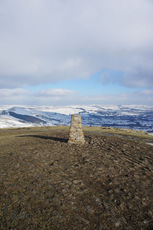
The toposcope on the summit of Lose Hill
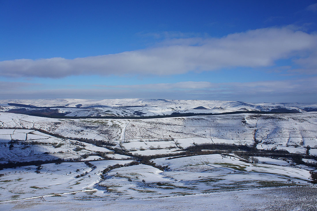
Views from the top. Looking across Bridge-end Pasture to Howden and Derwent Edges. The dark gritstone helps them stand out against the snow.
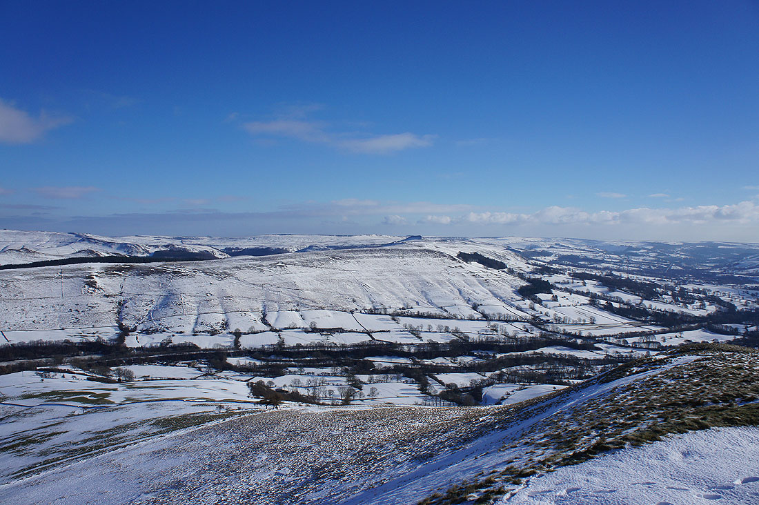
Win Hill with Stanage Edge beyond
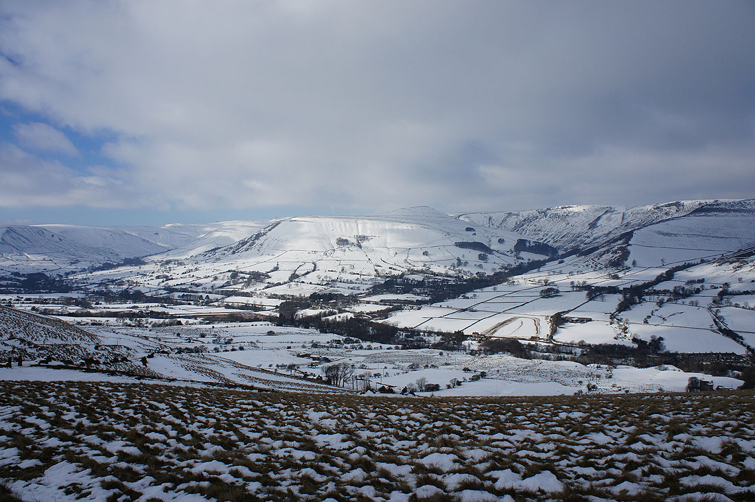
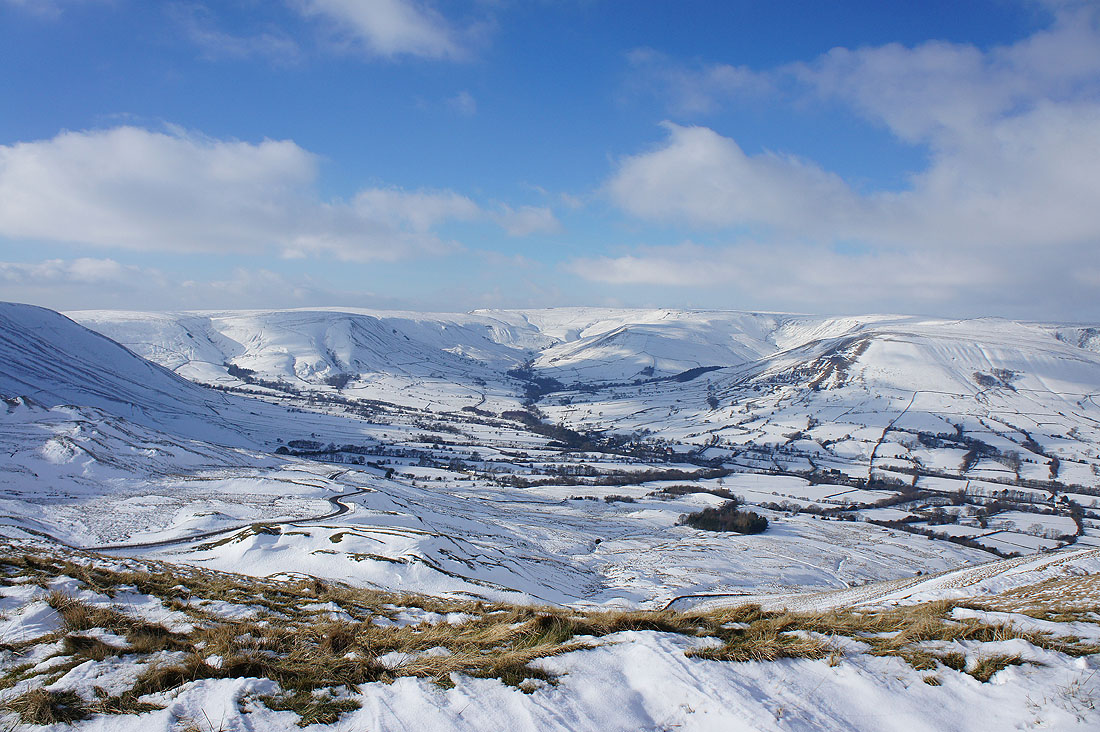
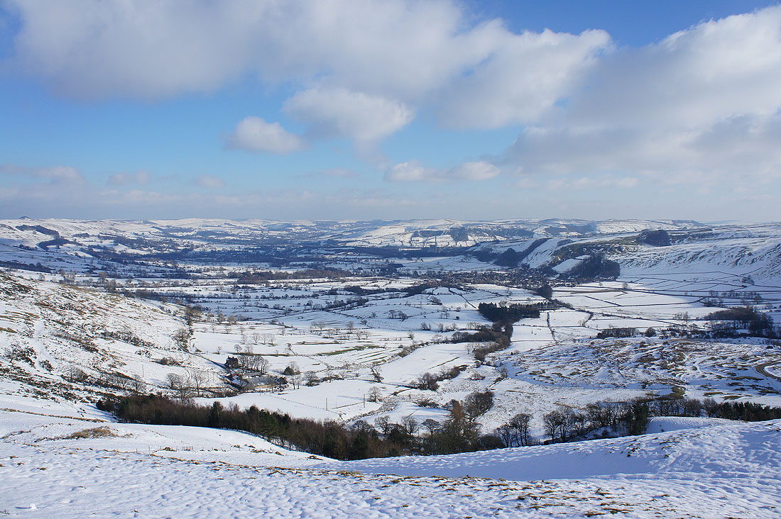
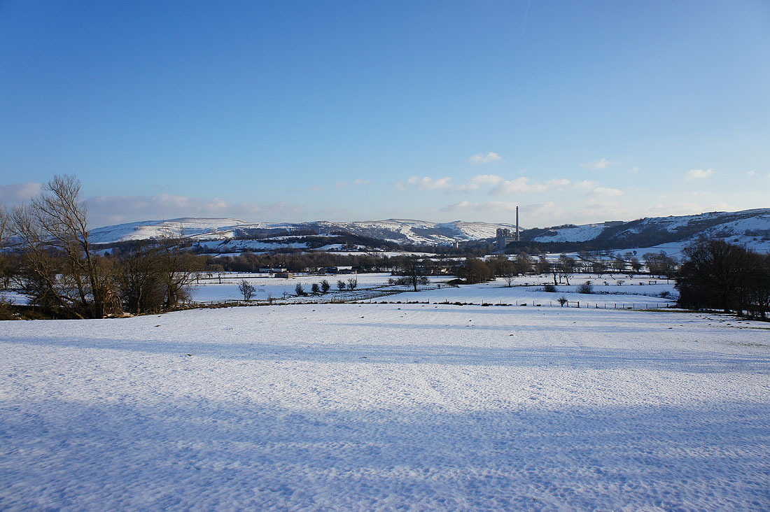
The Hope Valley
The southern slopes of Kinder Scout
and the Vale of Edale
On the way to Back Tor. The drifts must have been really deep earlier in the week.
Looking back with Lose Hill on the left and Win Hill in the distance on the right. The strength and direction of the wind has really affected the depth of the snow, with windswept slopes almost bare and deep drifts in shelter.
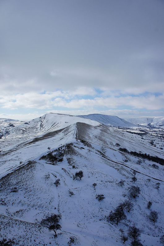
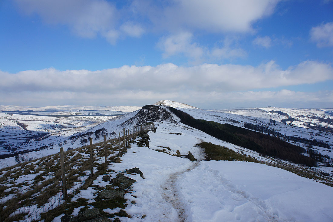
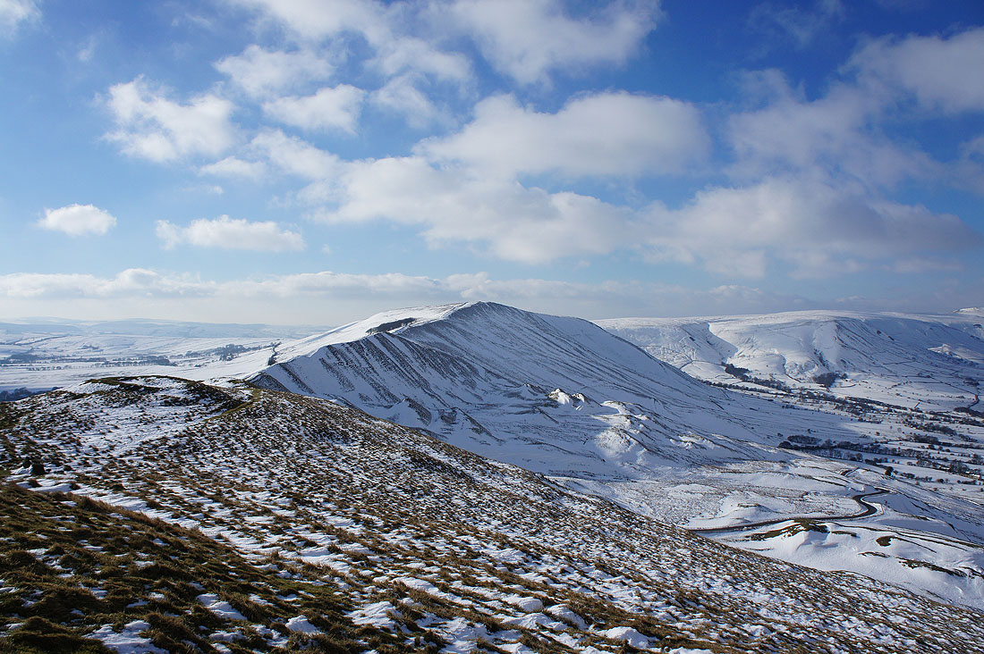
Barker Bank, Mam Tor and Lord's Seat from Back Tor
The Vale of Edale
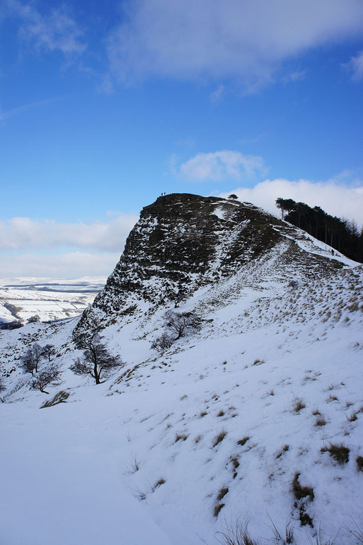
The rock of Back Tor etched in snow
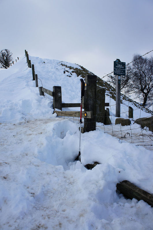
This stile is somewhat redundant today
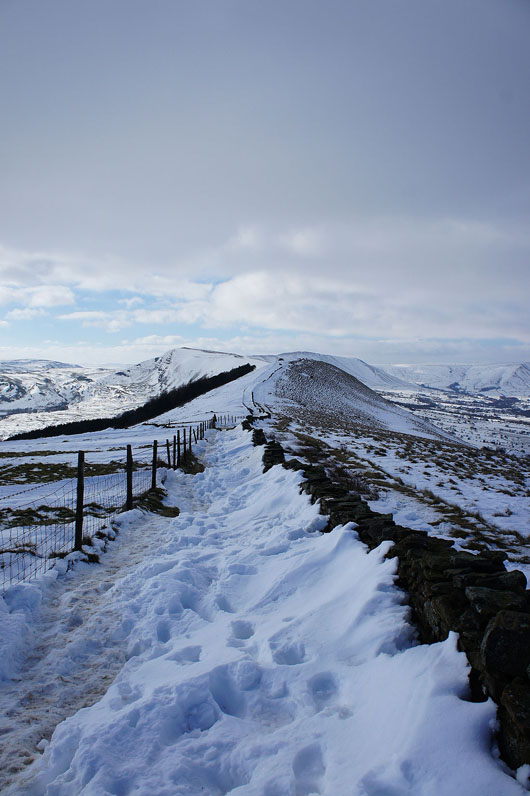
No walking next to the wall on this bit of Barker Bank
Looking back to Back Tor and Lose Hill
Edale and Grindslow Knoll
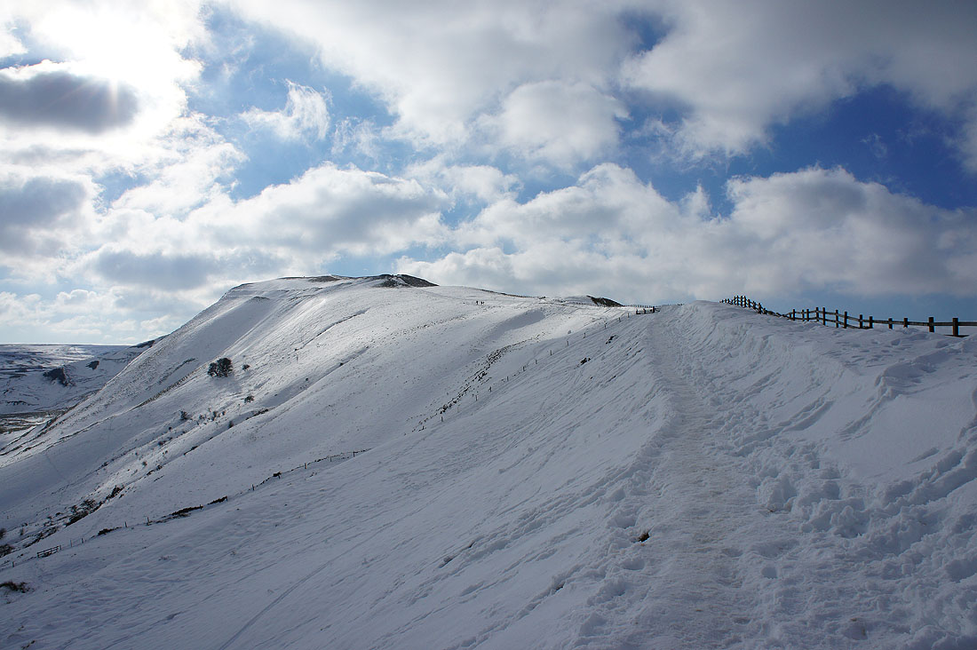
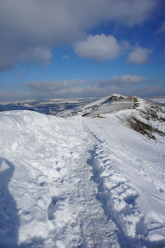
Past Hollins Cross and on the way up Mam Tor
Snow all around but the summit is bare
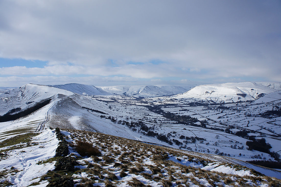
Rushup Edge and its summit Lord's Seat
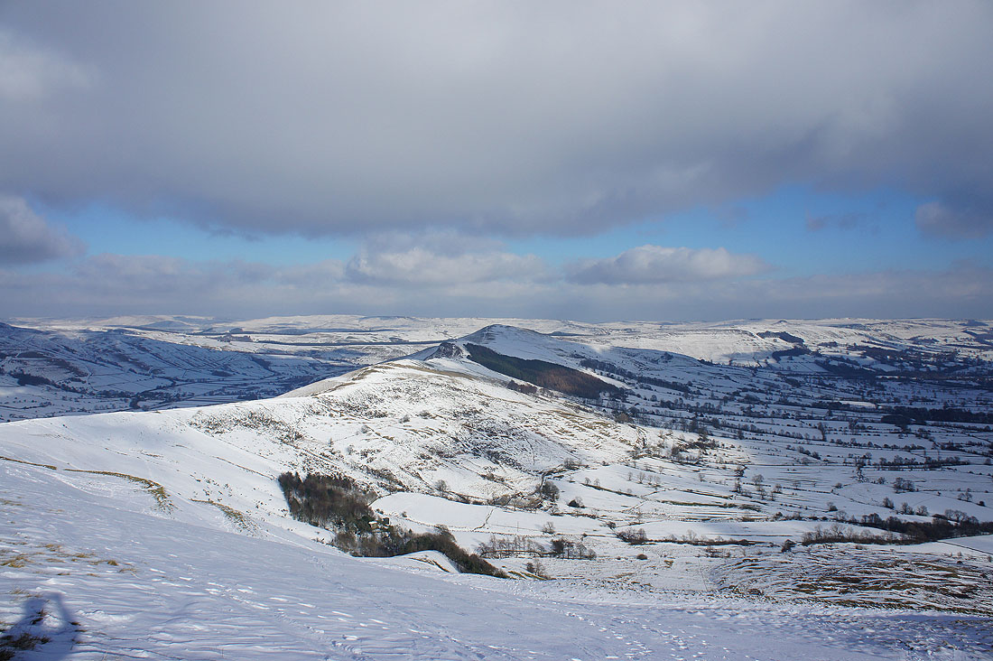
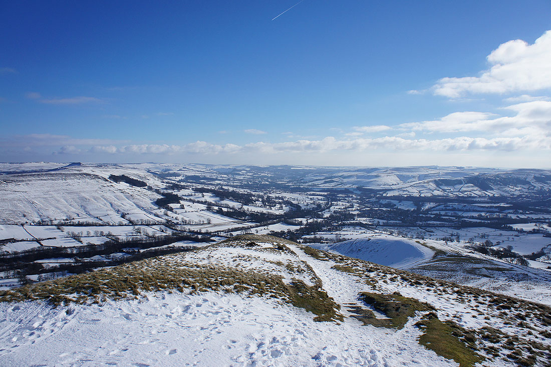
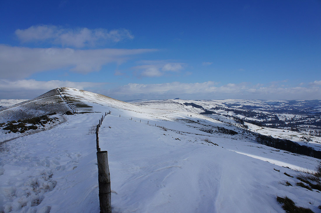
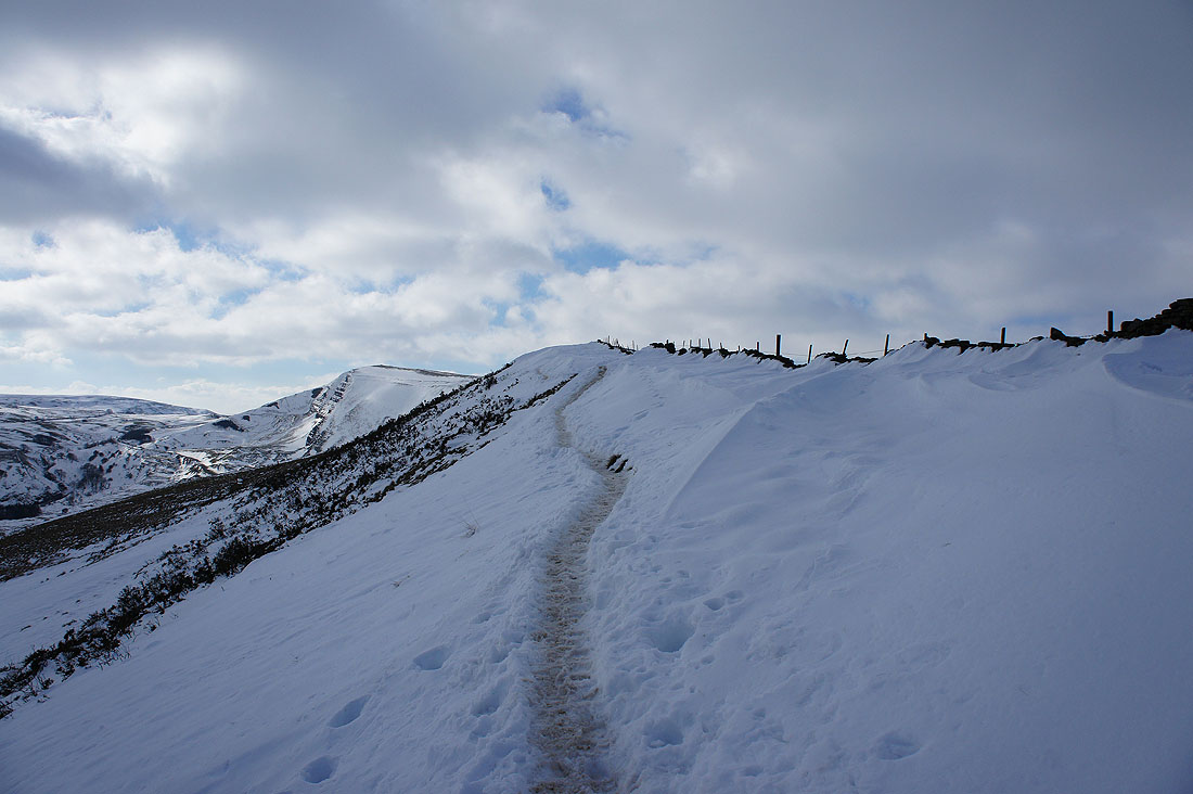
The Great Ridge to Lose Hill
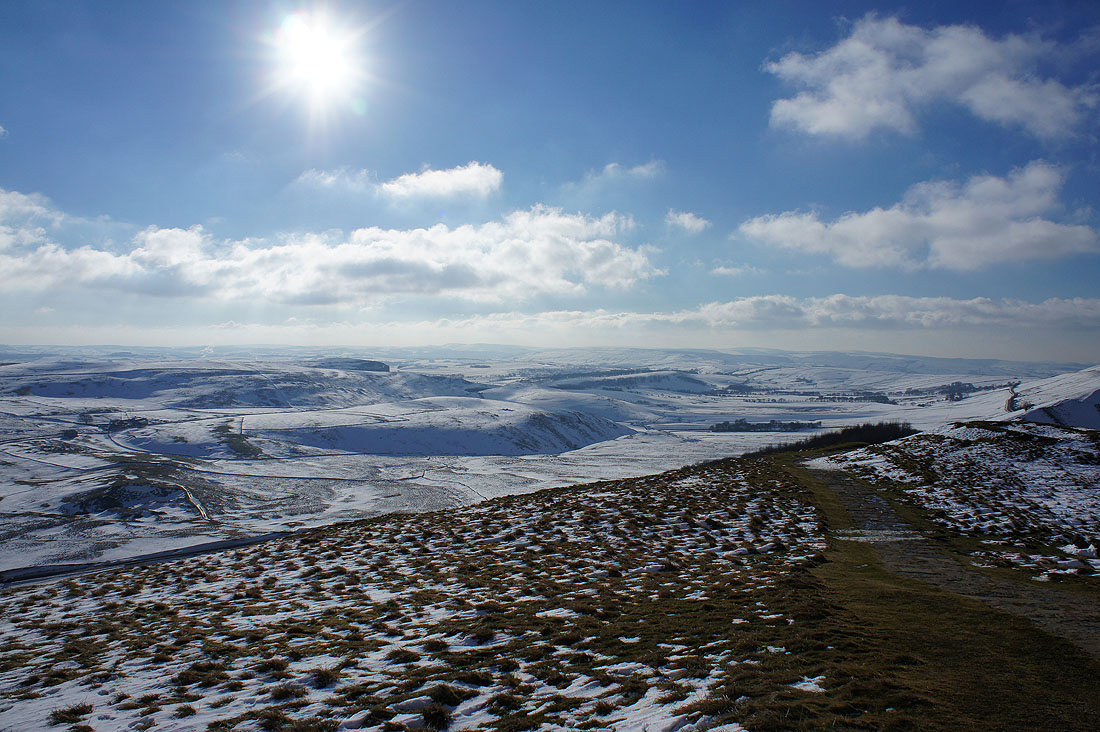
The moors of the White Peak to the south
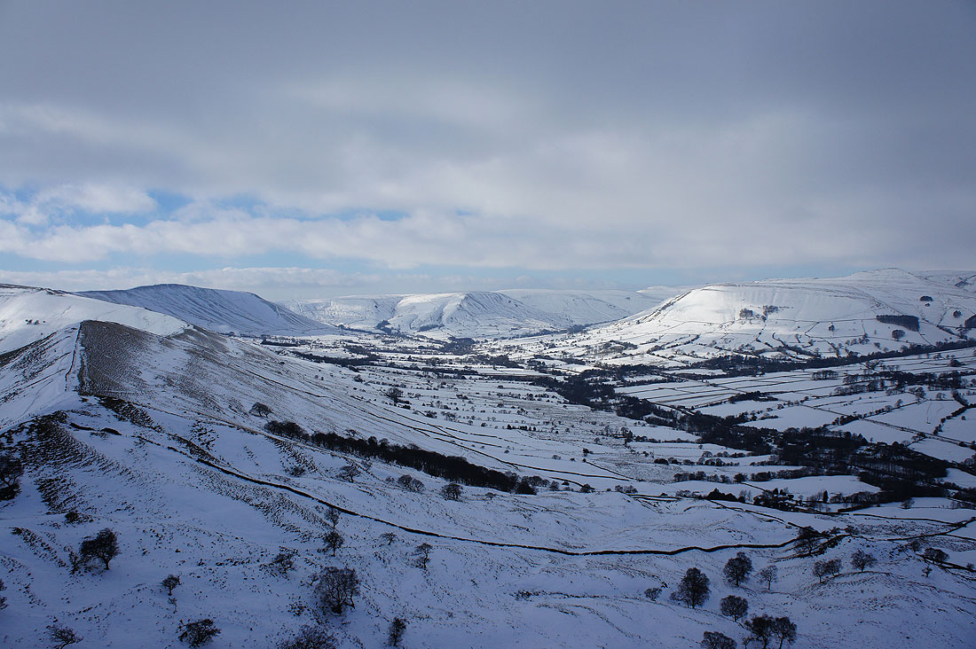
A fantastic view of the head of Edale
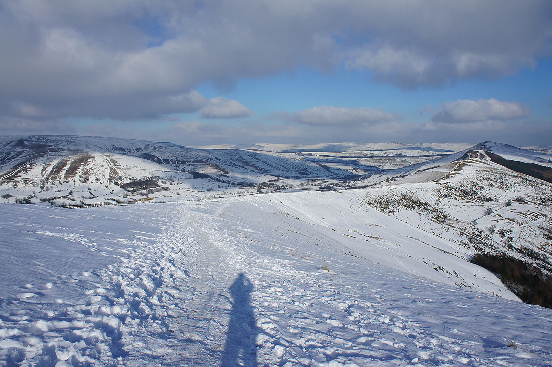
Heading back to Hollins Cross
There's a great view of the Hope Valley to my right
The deepest drifts of the day were here. Up to head height in places.
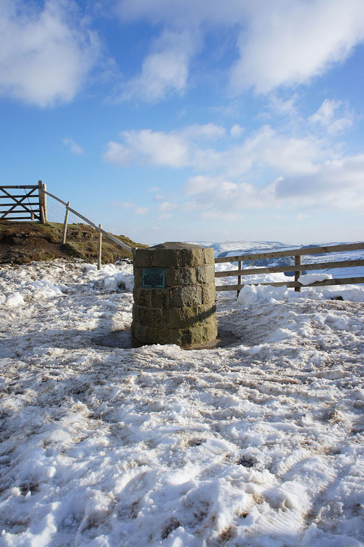
The memorial stone at Hollins Cross, my cue to head down and back to Hope
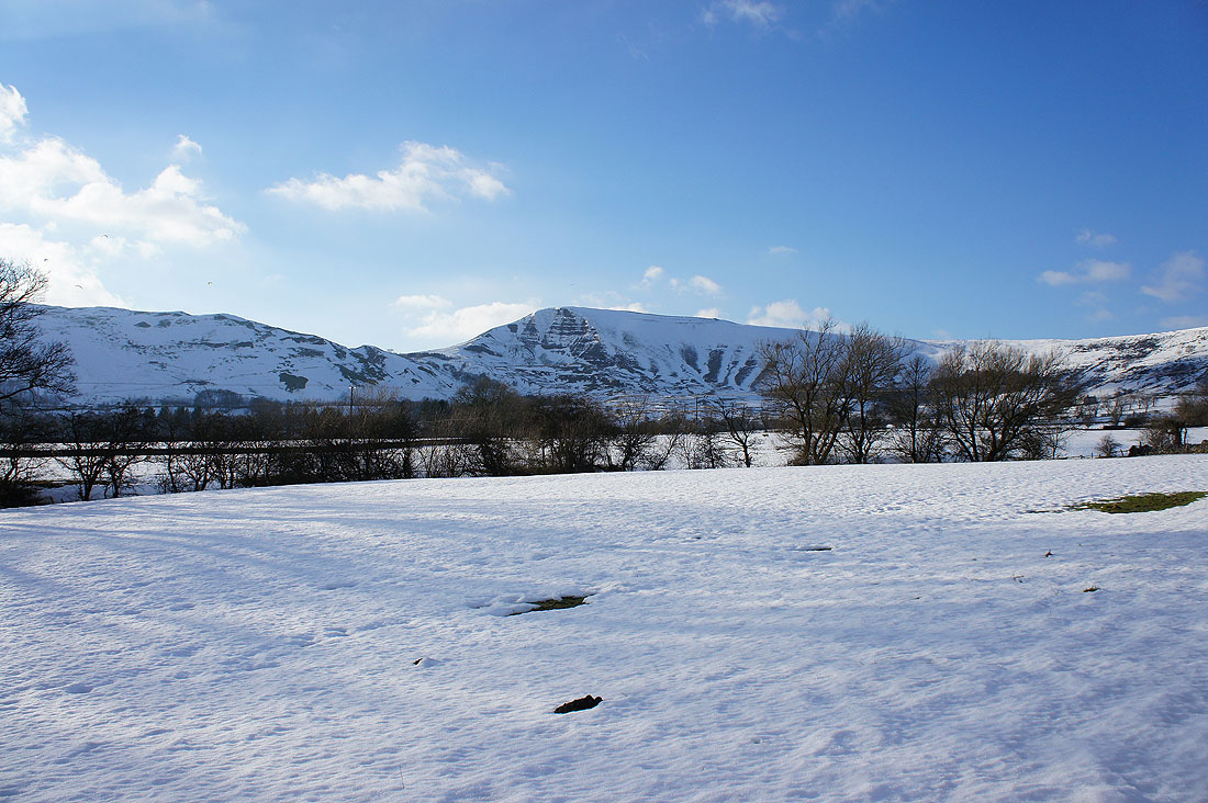
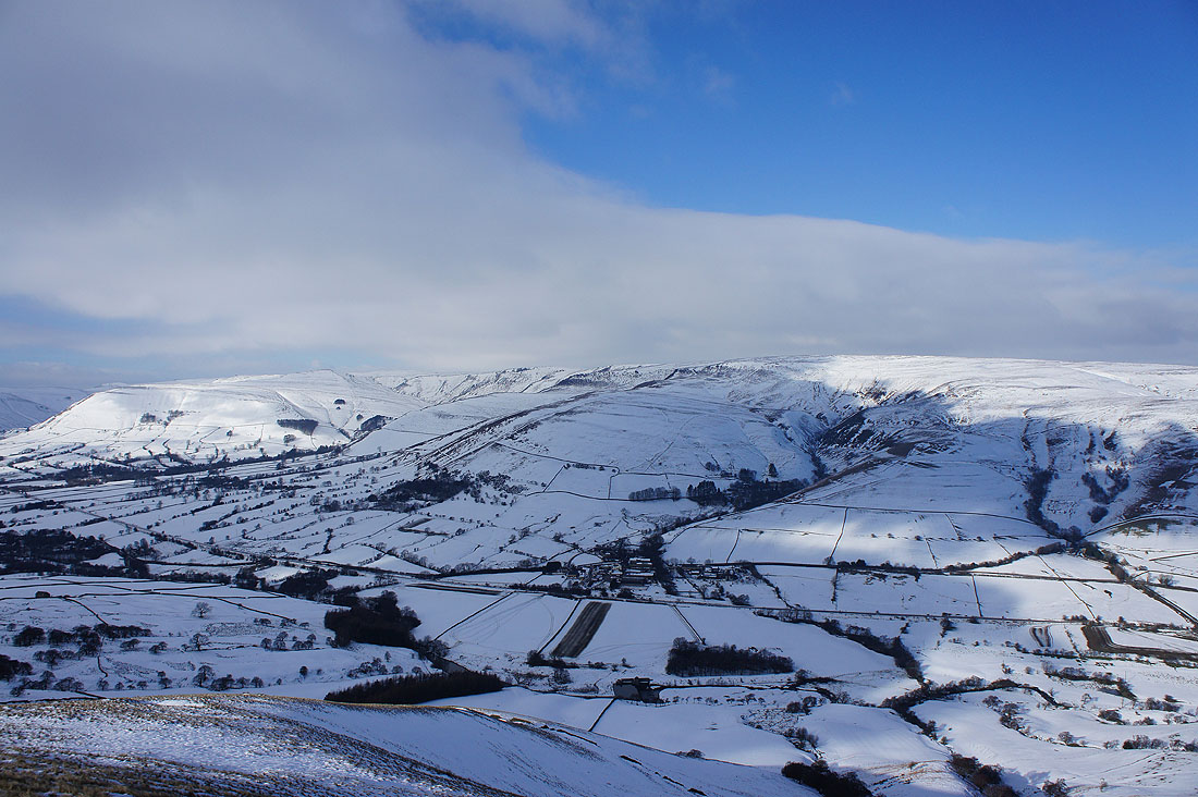
Mam Tor from Hollowford Road
Mam Tor and Barker Bank from the path past Spring House Farm
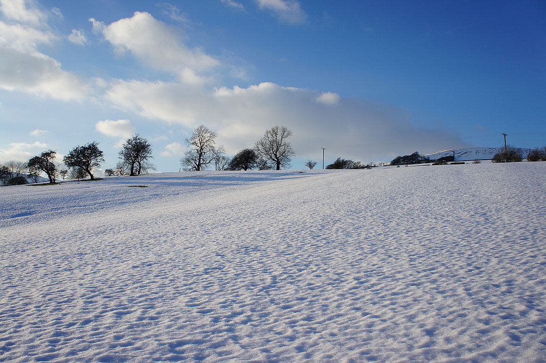
Looking across the Hope Valley
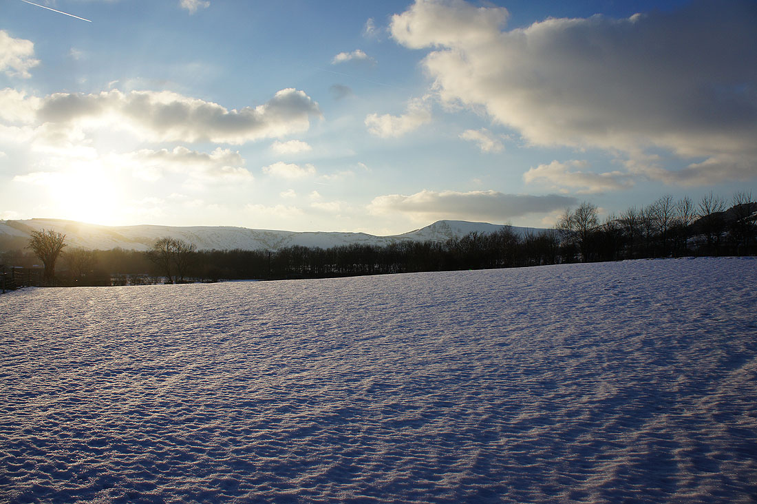
The low sun is starting to cast a great light on the fields below Lose Hill
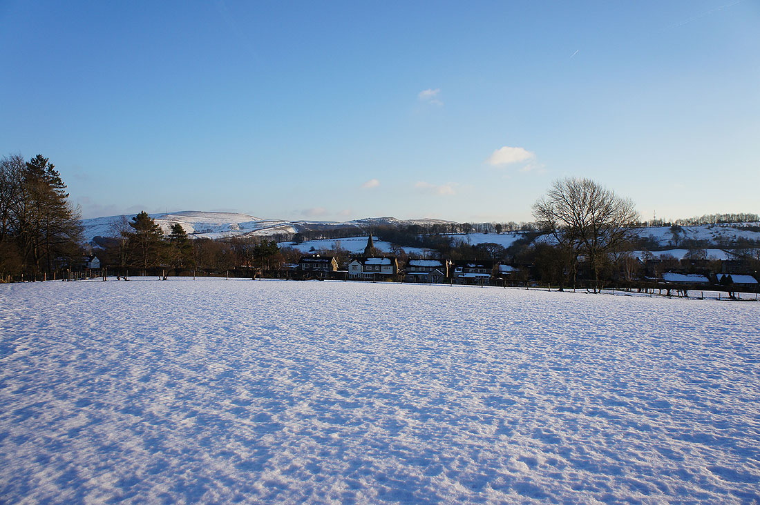
Hope is in sight
A last shot across snowy fields to Mam Tor