6th February 2022 - Grassington Moor
Walk Details
Distance walked: 12.6 miles
Total ascent: 1768 ft
OS map used: OL2 - Yorkshire Dales, Southern & Western areas
Time taken: 6 hrs
Route description: Grassington-Sedber Lane-Linton Falls-Dales Way-B6265-Raines Lane-Wharfe Lane-Moody Sty Lane-Garrs End Lane-Main Street-Chapel Street-Bank Lane-Dales Way-Bycliffe Road-Kelber Gate-Bycliffe-Grassington Moor-Old Moor Lane-Yarnbury-Hebden Beck-Tinkers' Lane-Edge Lane-High Lane-Grassington
It looks like I'm prepared to put up with some pretty inclement weather to avoid missing out on going out for a walk at the weekend. This was the better day, and that still meant that there were strong winds and showers to cope with. Given the forecast I didn't want to be venturing onto the high fells, so decided to head to Grassington in Wharfedale to do a route that would take me up onto the moors to the north and east of the village. This is familiar territory and I've done many walks in this area during recent years, so know what walking through it when the weather is bad would be like. It certainly was a bit on the wild side up on the moors. The wind was as strong as I'm comfortable putting up with, any more and it would just be a battle. Fortunately I only had a couple of showers of any significance to put with. The first up on Black Edge, with the full strength of the wind behind it and hail in the mix was not pleasant, the second down by Hebden Beck had hail and snow. The turbulent conditions can provide some dramatic skies for photography though.
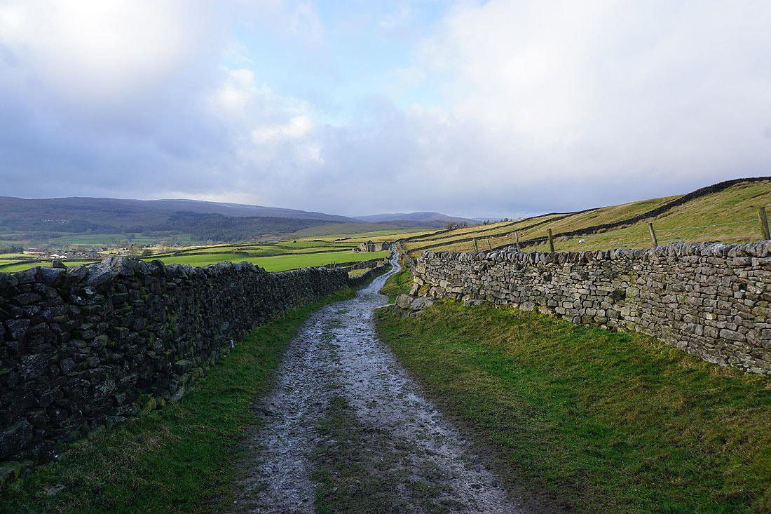
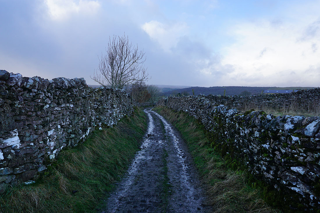
From the National Park car park in Grassington I followed the footpath down Sedber Lane to Linton Falls, then the Dales Way path by the north bank of the river west to the bridge carrying the B6265 across it. After crossing the road I took the footpath opposite up to Raines Lane, crossed that and took the footpath up to Wharfe Lane. I then walked up Wharfe Lane, crossed Wood Lane, walked up Moody Sty Lane, turned right and walked along Garrs End Lane to reach the top of Main Street. From there I walked along Chapel Street to Bank Lane to leave Grassington on the Dales Way. The Dales Way took me north to the top of Conistone Dib, where I left it for the track of Bycliffe Road, which I followed east up to Kelber Gate and on towards Mossdale. When I reached a track on the right I left the bridleway to Mossdale and took this, and followed it south below Black Edge and down to the disused Grassington Lead Mines. After a quick look around the ruins I picked up the track of Old Moor Lane and walked down it to the hamlet of Yarnbury at the top of Moor Lane. From there I took the bridleway on the left through more of the Grassington Lead Mines ruins and down to Hebden Beck, where I took a footpath on the right up to the track of Tinkers' Lane, then followed this south past High Garnshaw House and onto the track of Edge Lane. After a short walk west along Edge Lane I reached a footpath on the left which took me down through fields to the track of High Lane, and a brief walk west along this brought me to Low Lane and the top of Main Street in Grassington. I walked through Grassington back to the car park.
Total ascent: 1768 ft
OS map used: OL2 - Yorkshire Dales, Southern & Western areas
Time taken: 6 hrs
Route description: Grassington-Sedber Lane-Linton Falls-Dales Way-B6265-Raines Lane-Wharfe Lane-Moody Sty Lane-Garrs End Lane-Main Street-Chapel Street-Bank Lane-Dales Way-Bycliffe Road-Kelber Gate-Bycliffe-Grassington Moor-Old Moor Lane-Yarnbury-Hebden Beck-Tinkers' Lane-Edge Lane-High Lane-Grassington
It looks like I'm prepared to put up with some pretty inclement weather to avoid missing out on going out for a walk at the weekend. This was the better day, and that still meant that there were strong winds and showers to cope with. Given the forecast I didn't want to be venturing onto the high fells, so decided to head to Grassington in Wharfedale to do a route that would take me up onto the moors to the north and east of the village. This is familiar territory and I've done many walks in this area during recent years, so know what walking through it when the weather is bad would be like. It certainly was a bit on the wild side up on the moors. The wind was as strong as I'm comfortable putting up with, any more and it would just be a battle. Fortunately I only had a couple of showers of any significance to put with. The first up on Black Edge, with the full strength of the wind behind it and hail in the mix was not pleasant, the second down by Hebden Beck had hail and snow. The turbulent conditions can provide some dramatic skies for photography though.
From the National Park car park in Grassington I followed the footpath down Sedber Lane to Linton Falls, then the Dales Way path by the north bank of the river west to the bridge carrying the B6265 across it. After crossing the road I took the footpath opposite up to Raines Lane, crossed that and took the footpath up to Wharfe Lane. I then walked up Wharfe Lane, crossed Wood Lane, walked up Moody Sty Lane, turned right and walked along Garrs End Lane to reach the top of Main Street. From there I walked along Chapel Street to Bank Lane to leave Grassington on the Dales Way. The Dales Way took me north to the top of Conistone Dib, where I left it for the track of Bycliffe Road, which I followed east up to Kelber Gate and on towards Mossdale. When I reached a track on the right I left the bridleway to Mossdale and took this, and followed it south below Black Edge and down to the disused Grassington Lead Mines. After a quick look around the ruins I picked up the track of Old Moor Lane and walked down it to the hamlet of Yarnbury at the top of Moor Lane. From there I took the bridleway on the left through more of the Grassington Lead Mines ruins and down to Hebden Beck, where I took a footpath on the right up to the track of Tinkers' Lane, then followed this south past High Garnshaw House and onto the track of Edge Lane. After a short walk west along Edge Lane I reached a footpath on the left which took me down through fields to the track of High Lane, and a brief walk west along this brought me to Low Lane and the top of Main Street in Grassington. I walked through Grassington back to the car park.
Route map
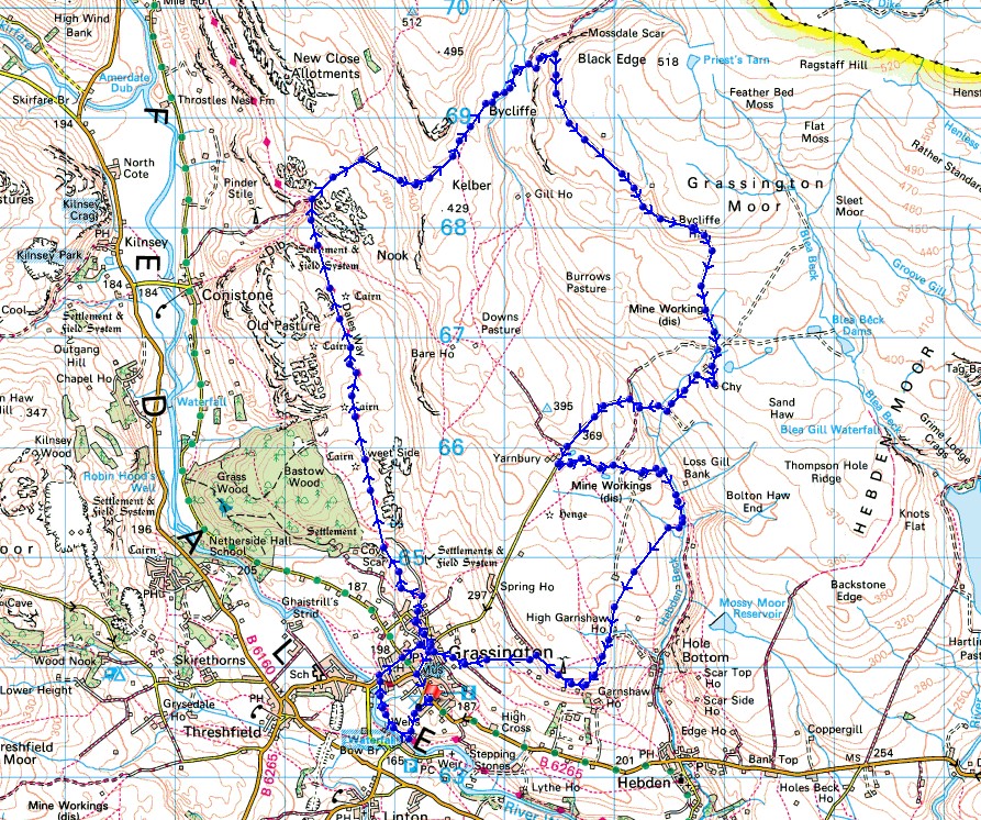
© Crown copyright. All rights reserved. License number PU 100034184.
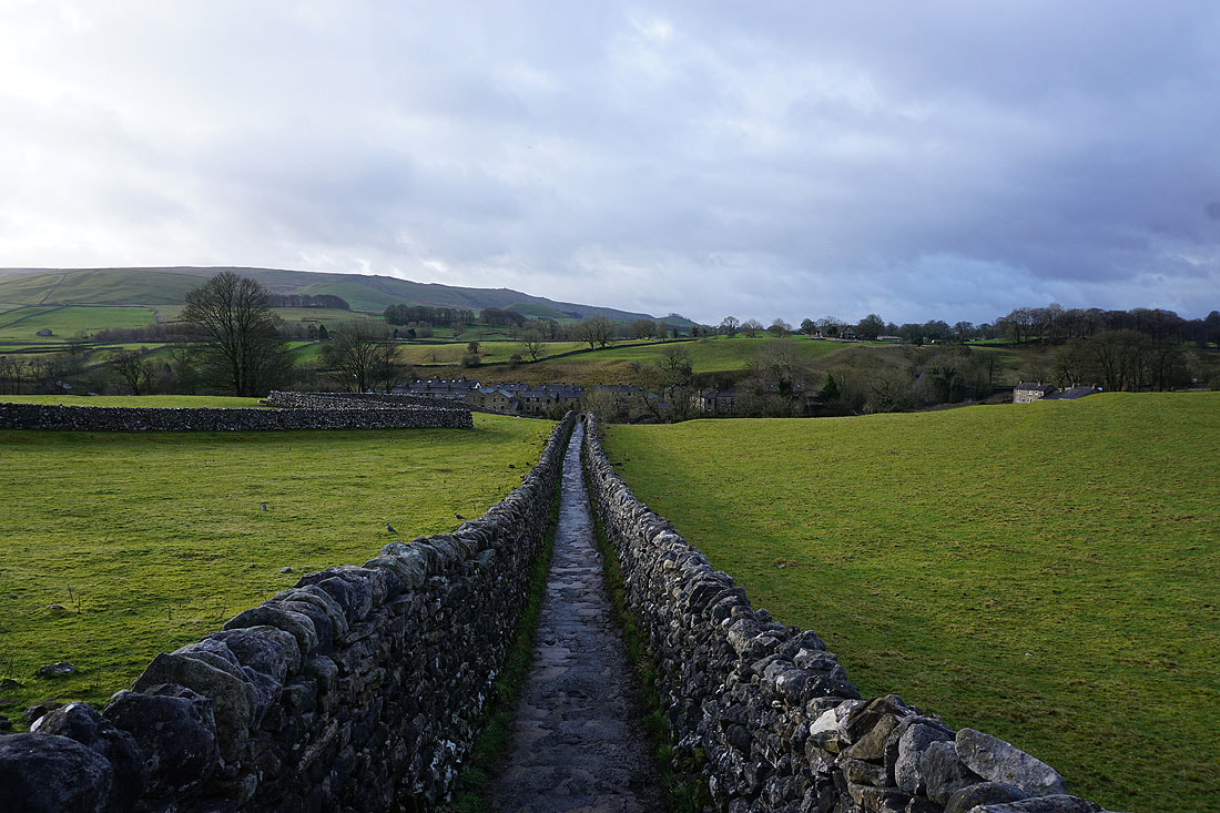
Following Sedber Lane down to Linton Falls
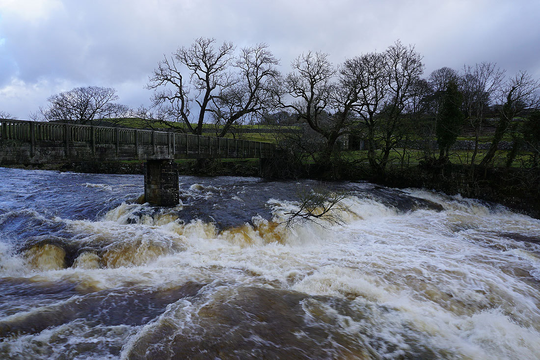
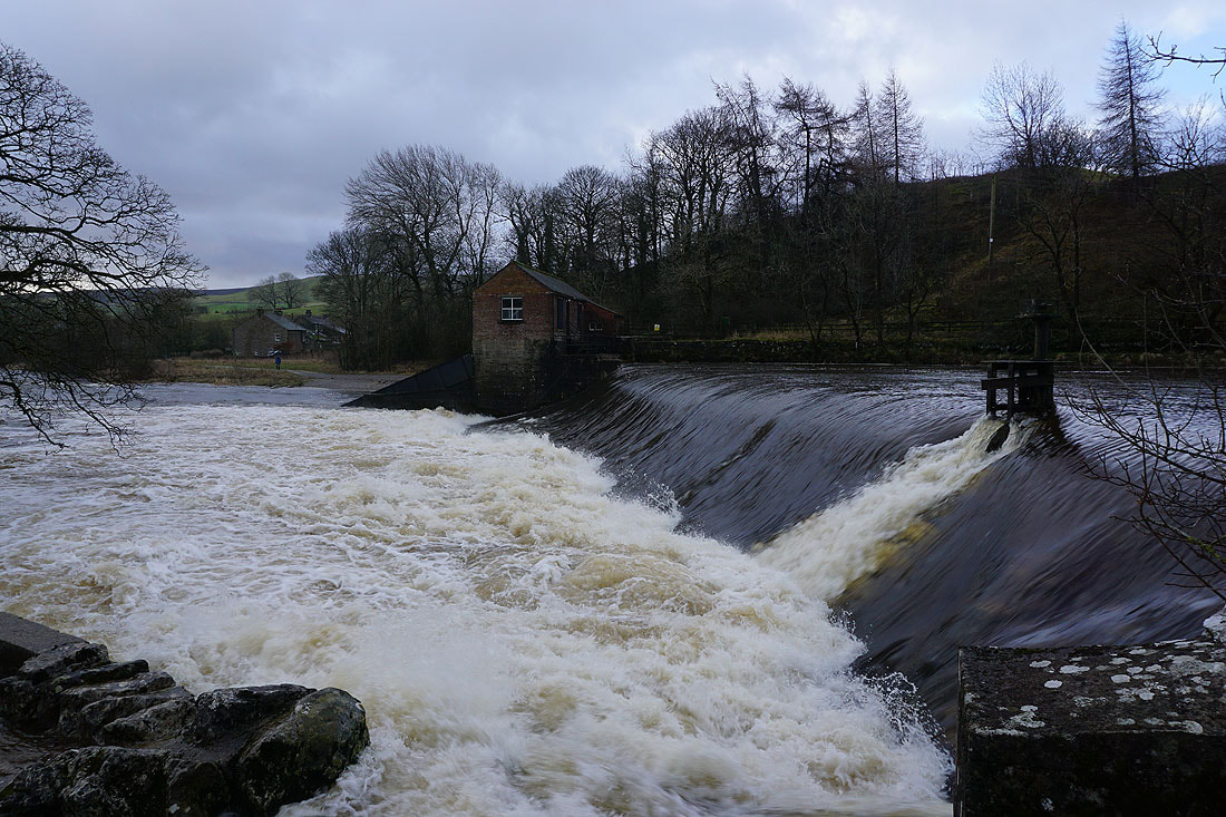
Plenty of water going over Linton Falls after all the recent rain...
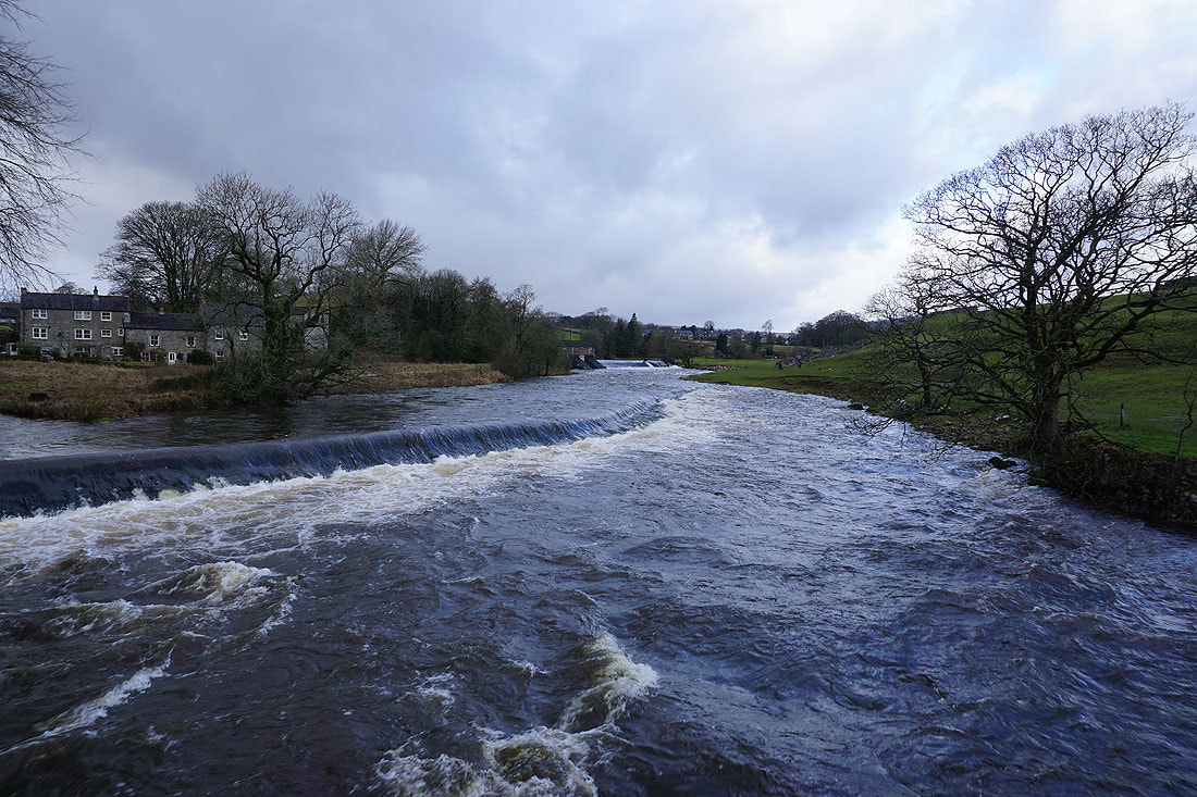
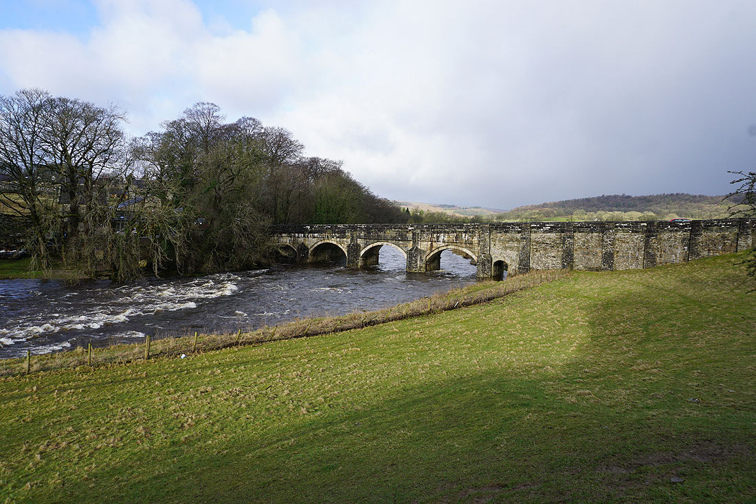
The bridge over the River Wharfe at Grassington
Wharfedale and Grass Wood as I leave Grassington behind on the Dales Way
Looking back to Grassington with Burnsall Fell behind
Dramatic skies over limestone moorlands as I follow the Dales Way north towards Conistone.....

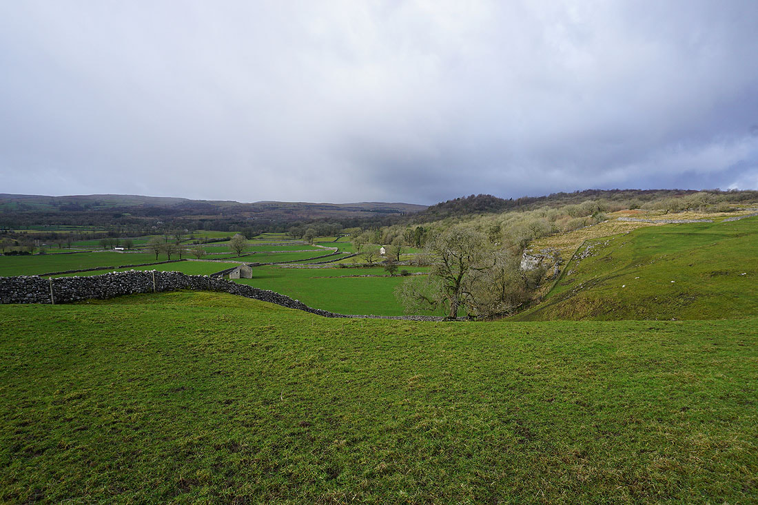
Passing the top of Conistone Dib
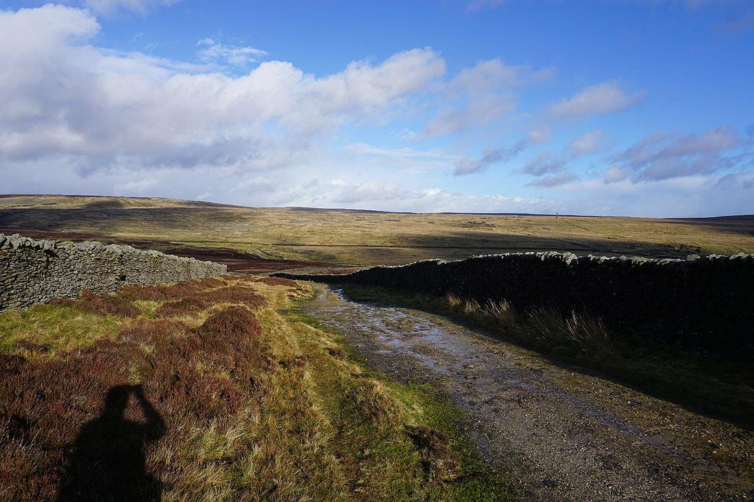
I leave the Dales Way and take the track and bridleway of Bycliffe Road up onto the moors. There's a shower passing through, and it probably won't be the last.
Looking back along Bycliffe Road and across Wharfedale to Kilnsey Moor
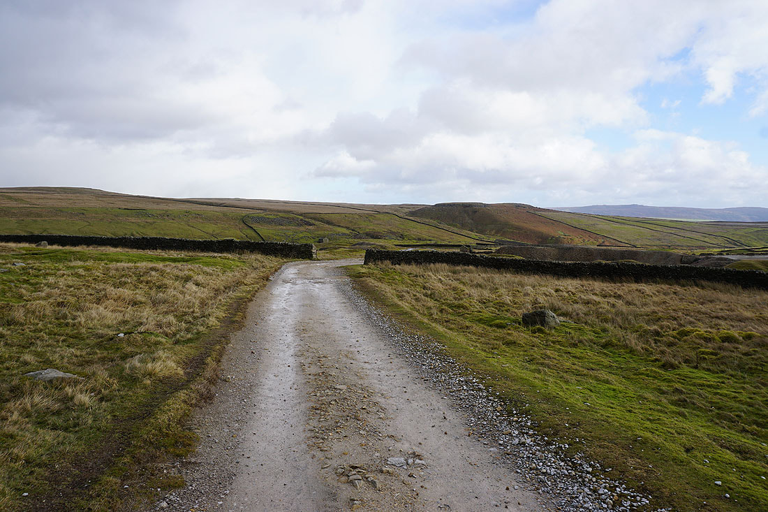
Heading up Bycliffe Road to Kelber Gate
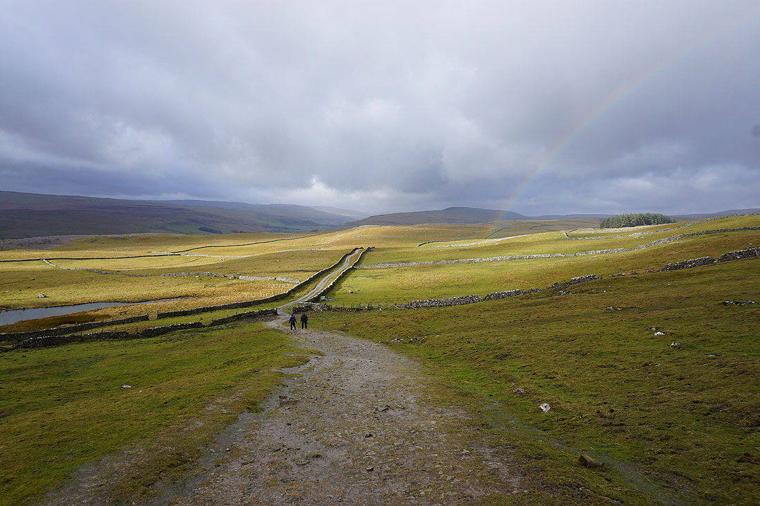
I was very lucky to see this rainbow. If I'd turned around just five seconds later I wouldn't have.
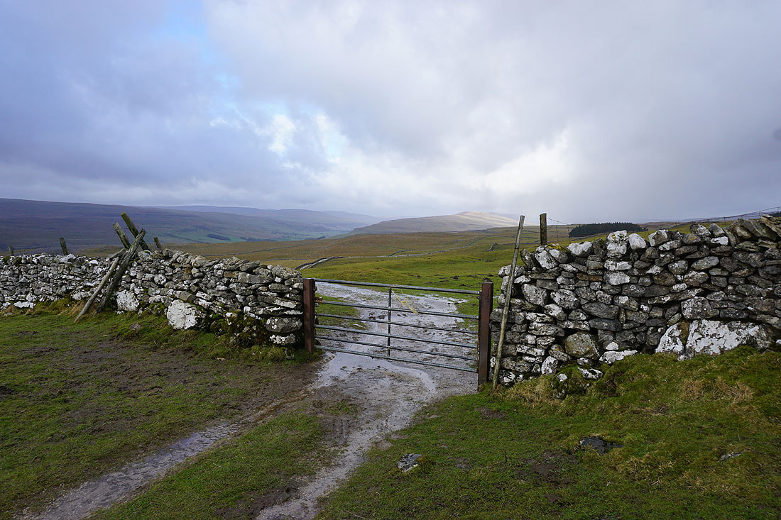
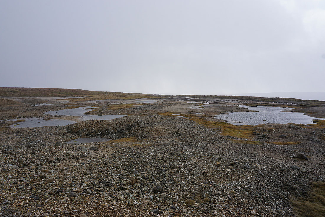
At Kelber Gate with the moorland around Littondale and Upper Wharfedale in the distance
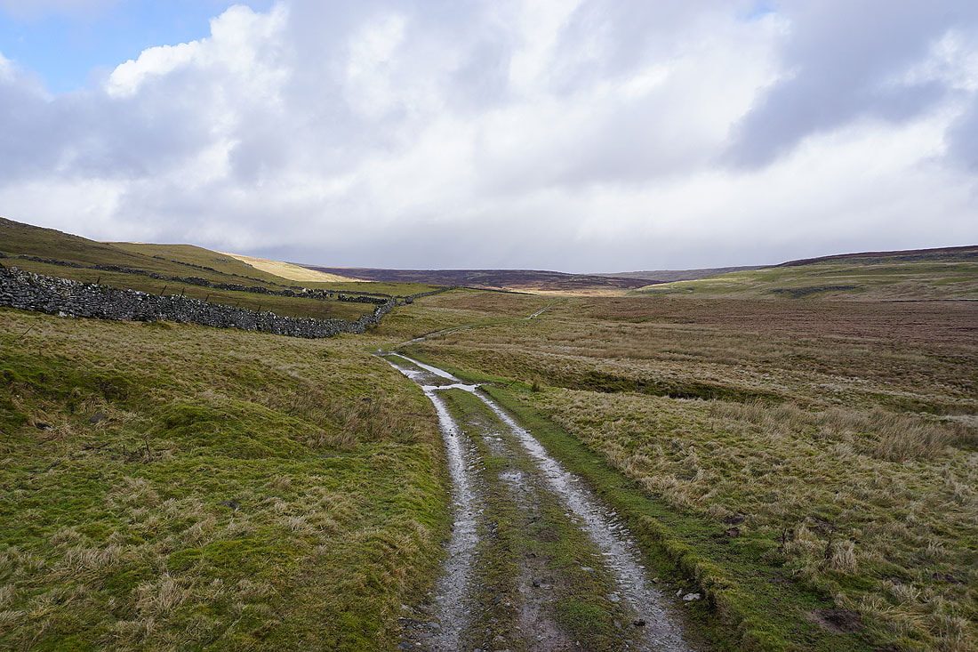
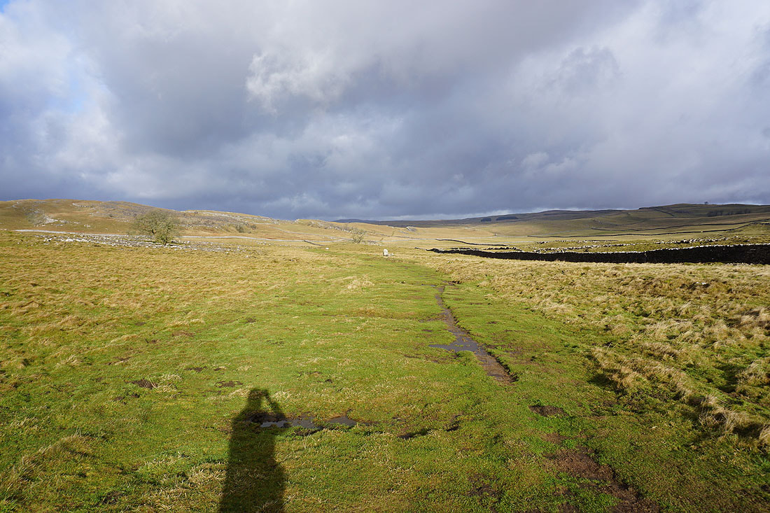
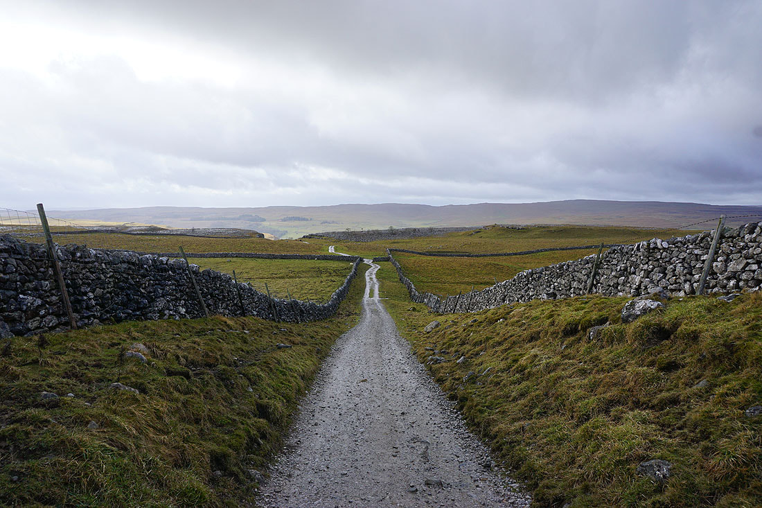
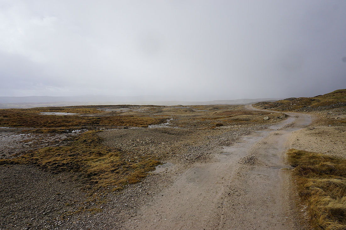
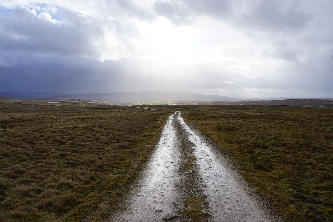
Following the bridleway northeast towards Mossdale
Another shower passes through. It's a bit wild up here with the strength of the wind that's blowing..
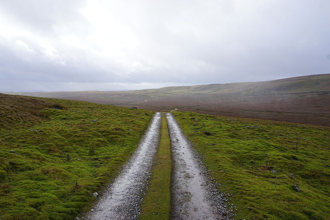
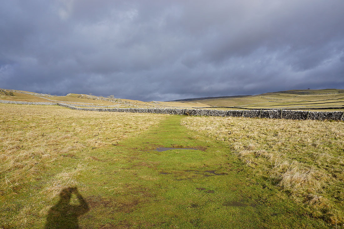
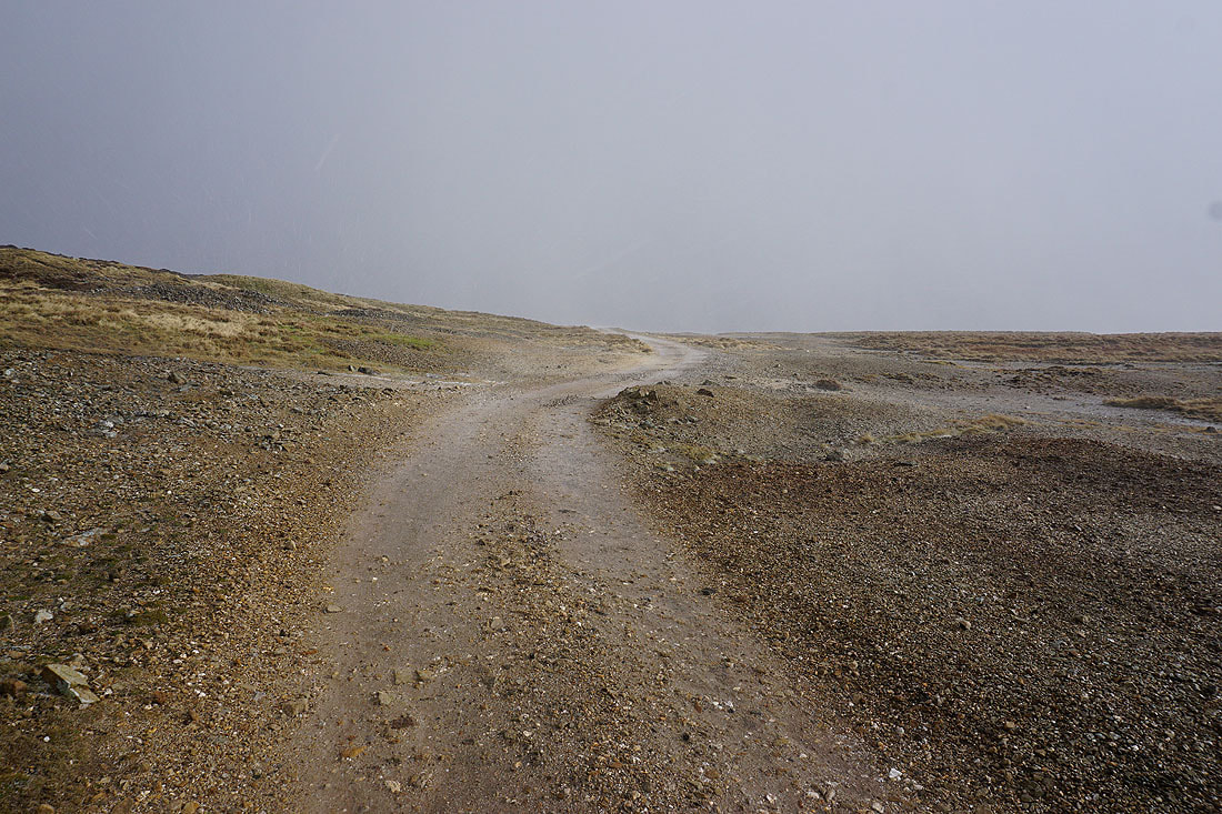
I leave the bridleway to Mossdale and take the track below Black Edge towards Grassington Moor
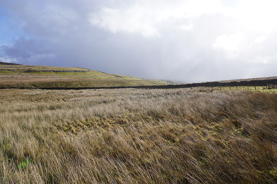
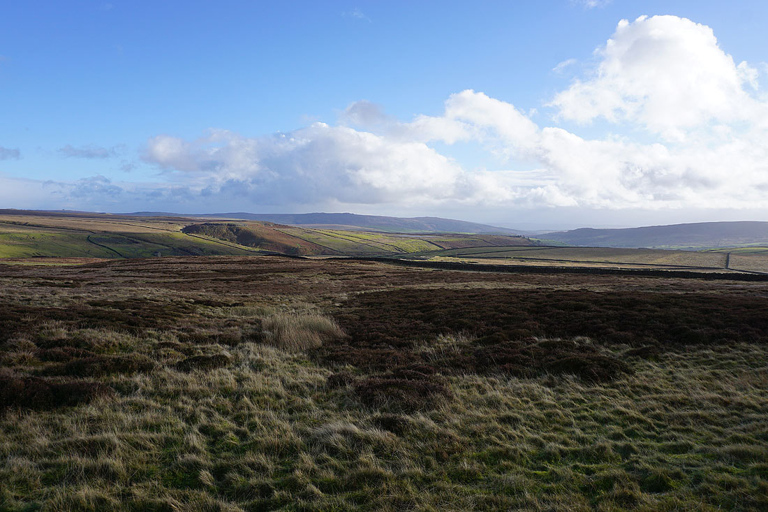
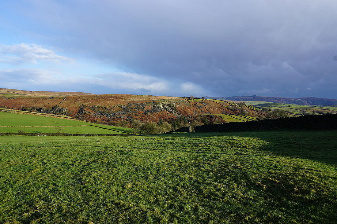
Looking across to a sunlit Conistone Moor from below Black Edge. The wall provided some much needed shelter for my lunch break.
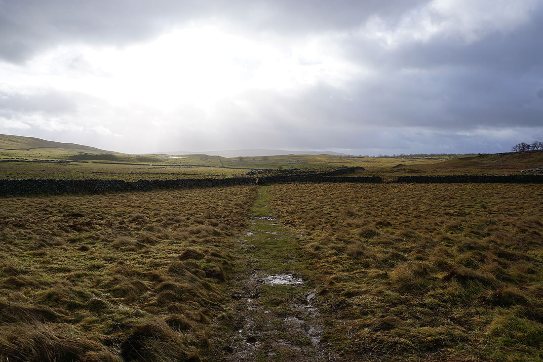
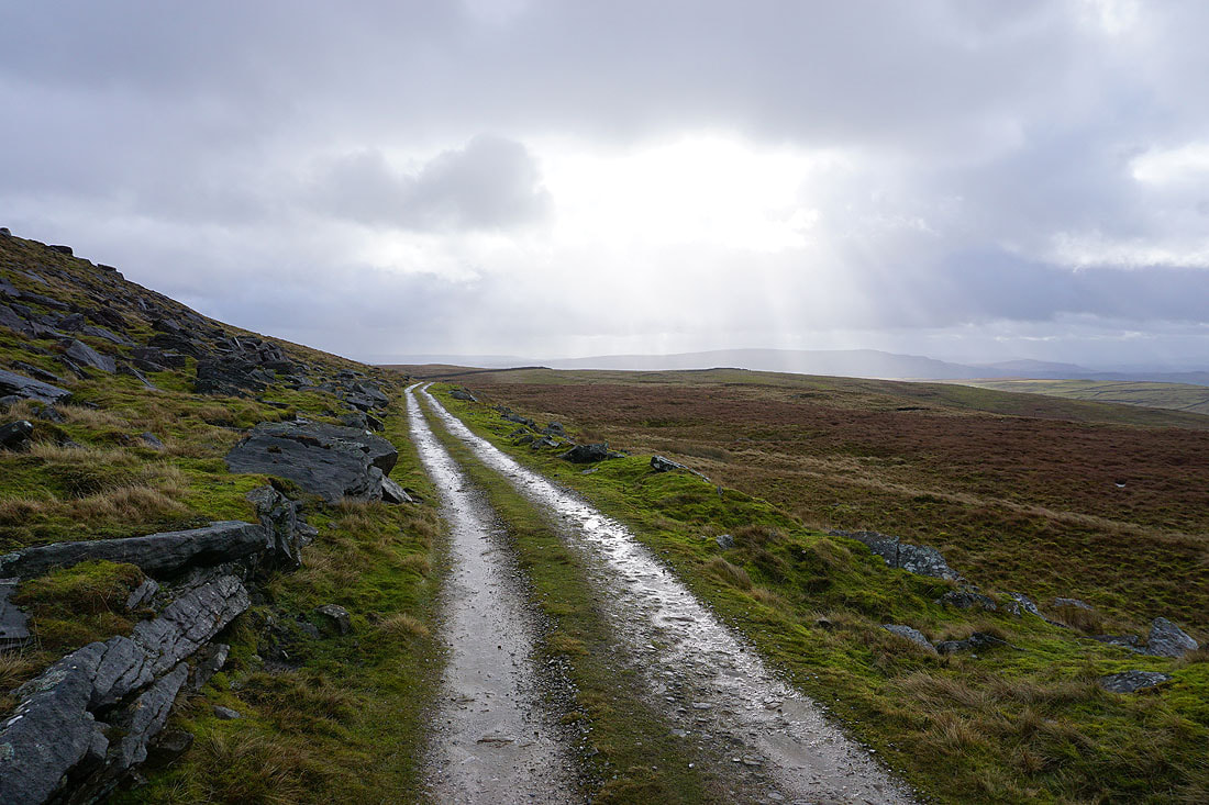
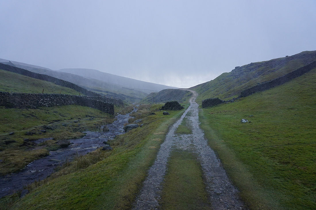
The weather takes a turn for the worse as I follow the track south to Grassington Moor. A shower with hail passes through, and with the strong wind behind it it's pretty wild. I'm glad that I can walk with my back to it......
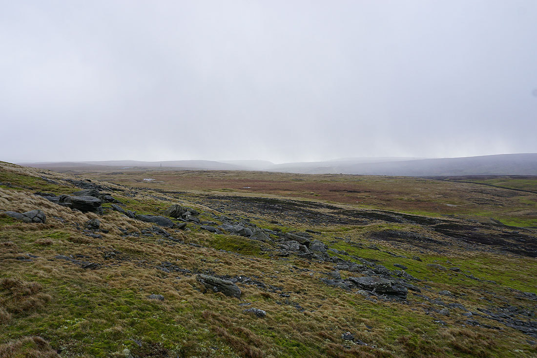
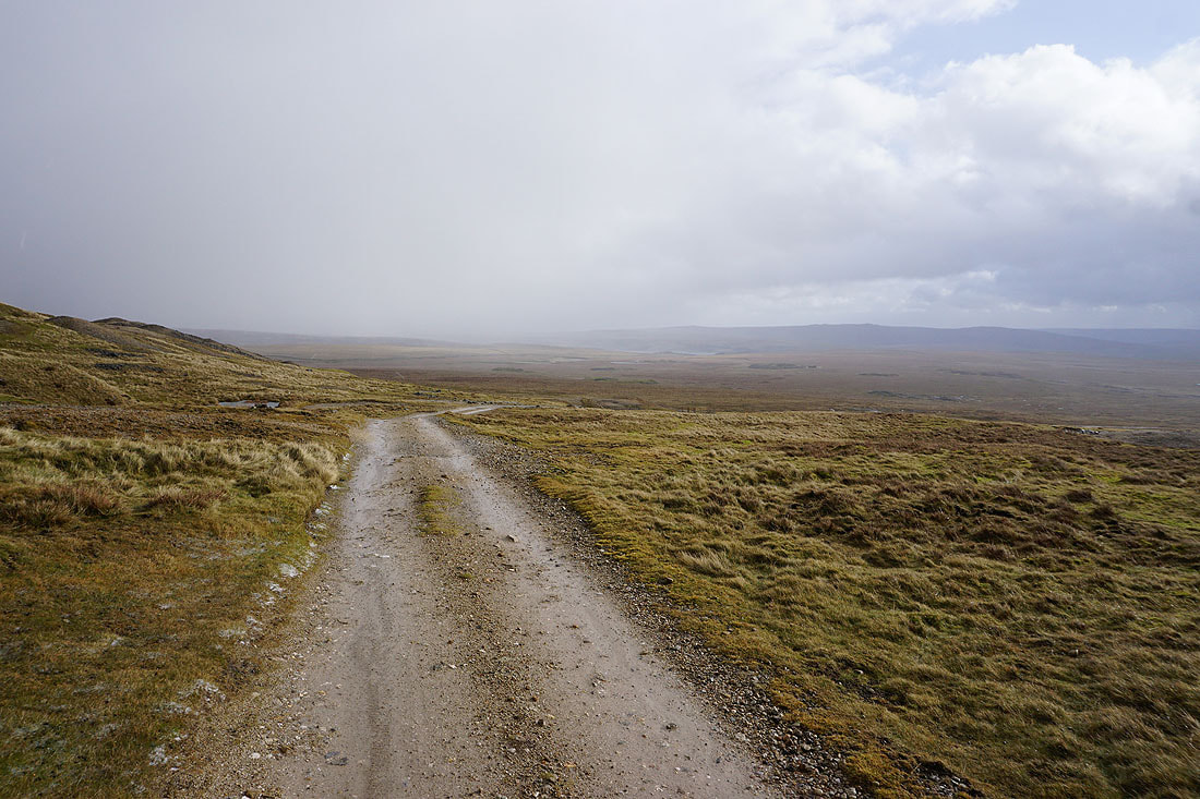
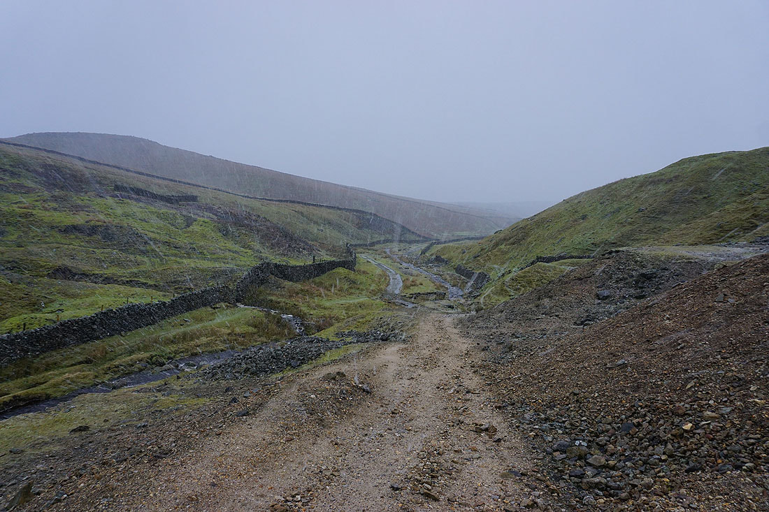
Burnsall Fell in the distance as the track heads south to the disused lead mines. Has the worst of it cleared?
Not quite!
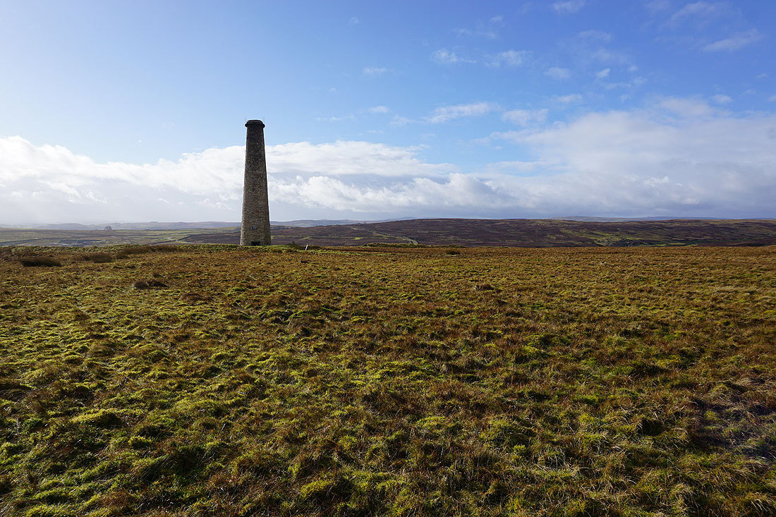
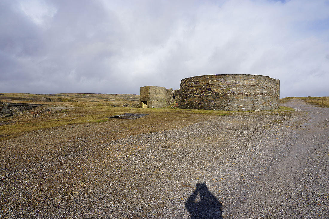
It has now though. Sunshine at the disused Grassington Moor Lead Mines...
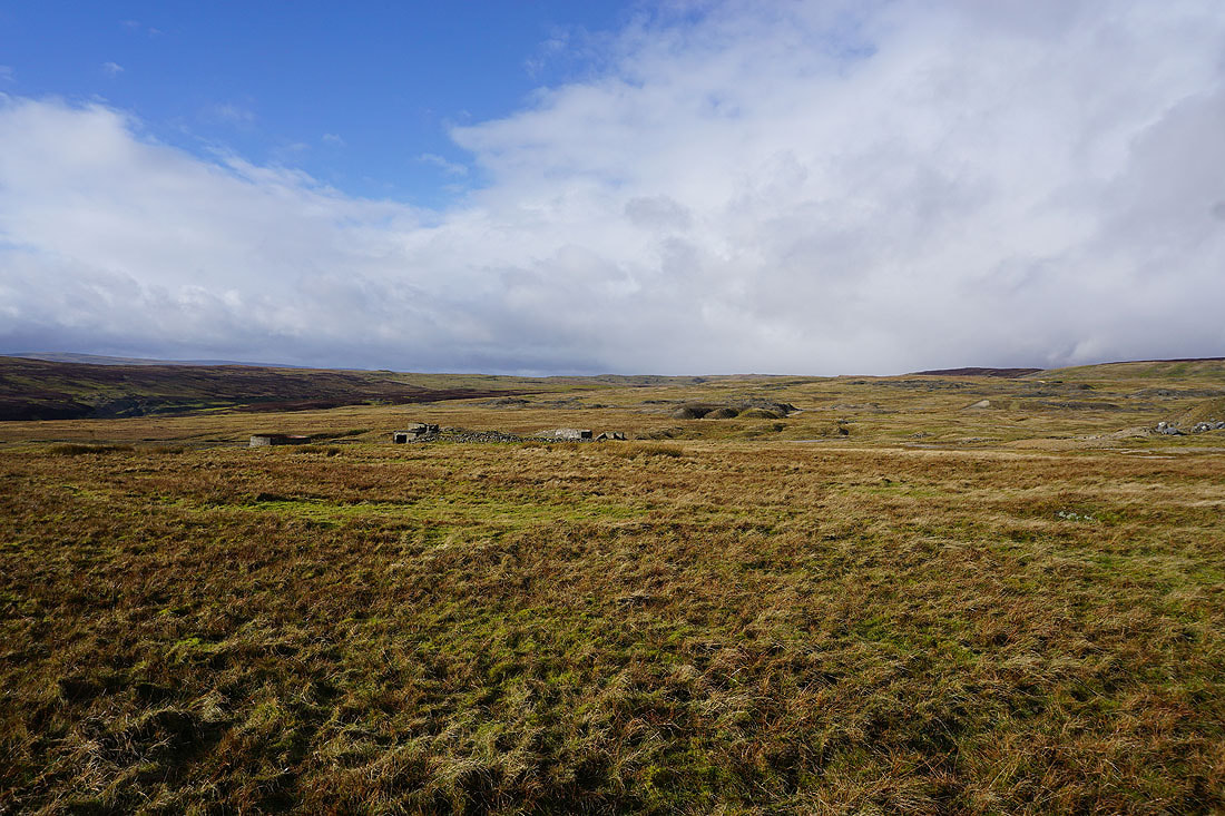
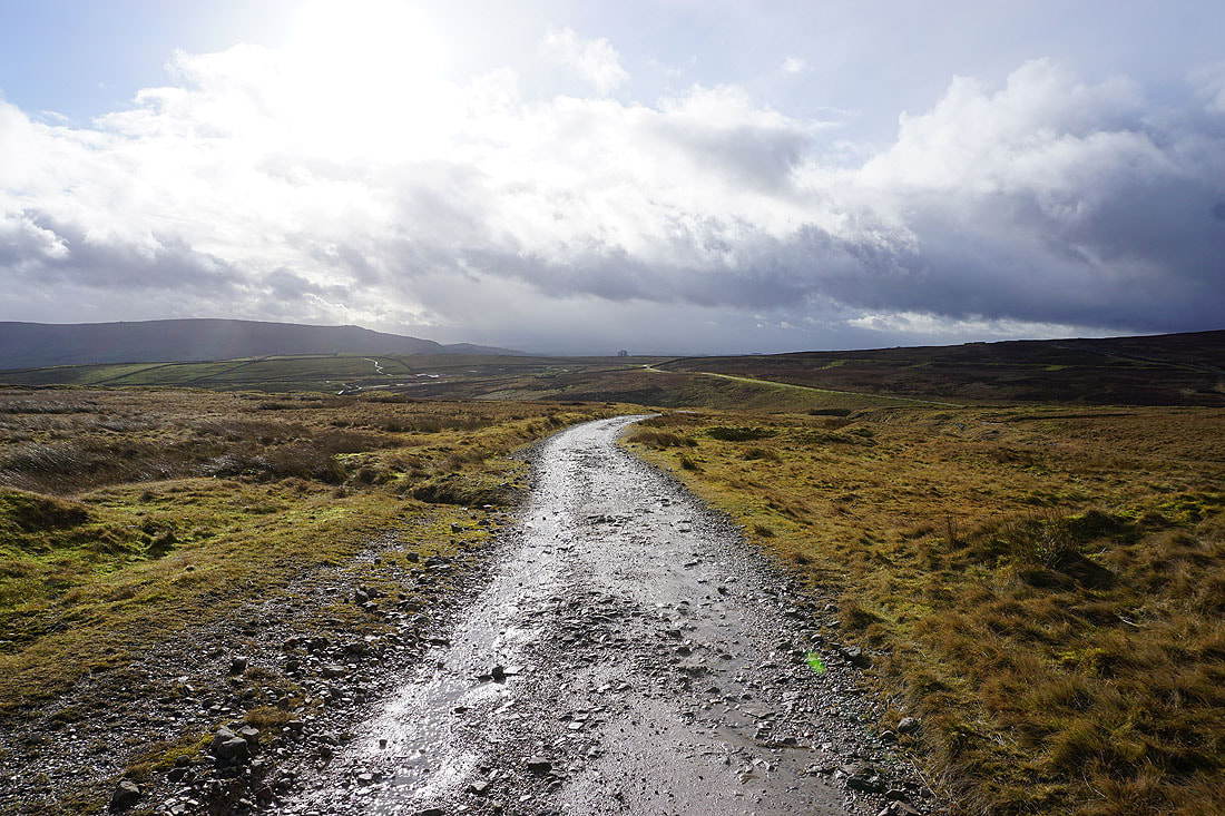
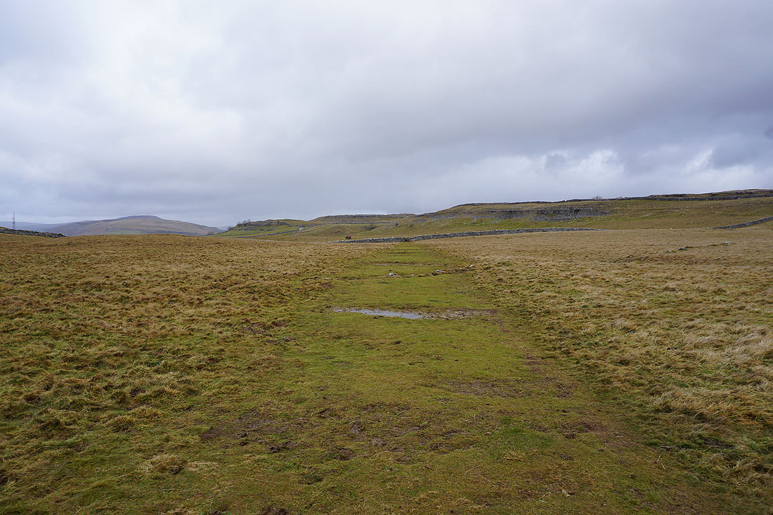
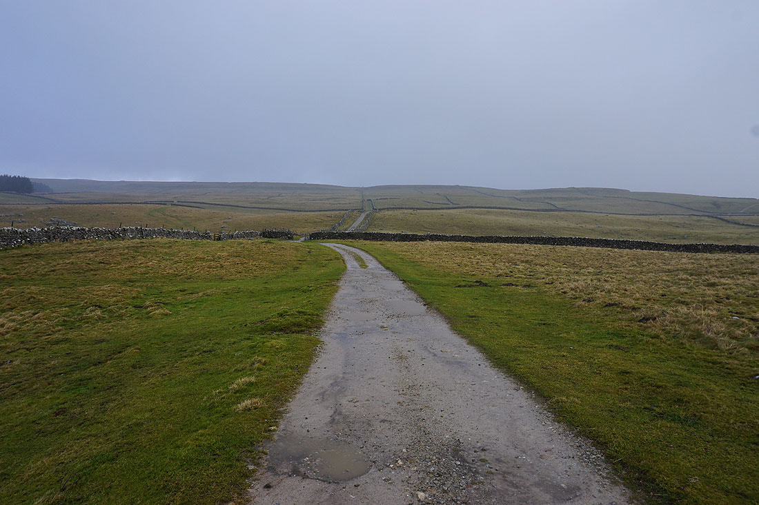
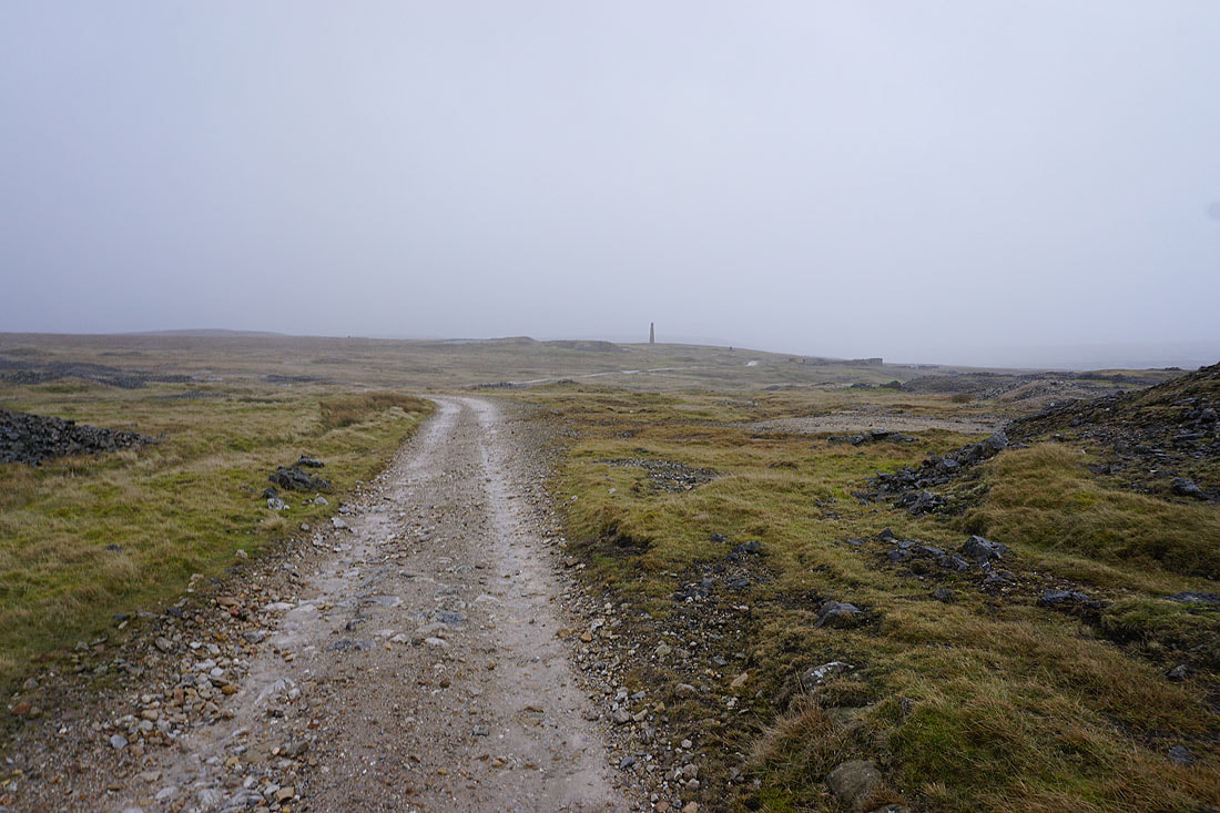
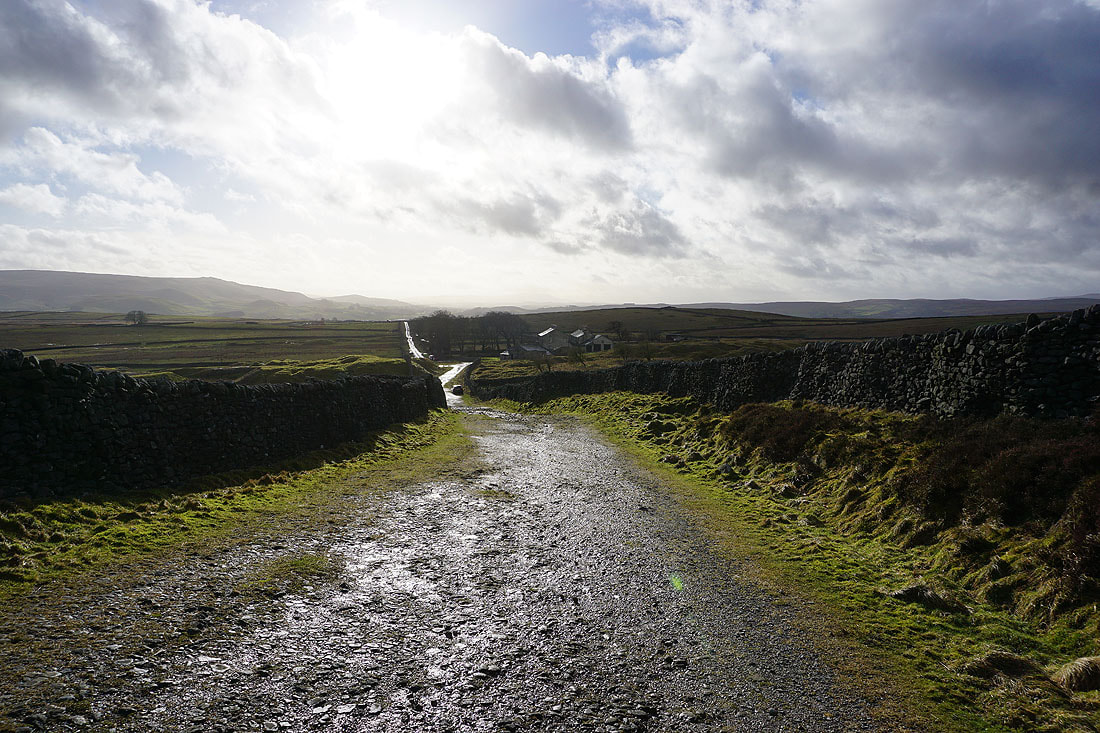
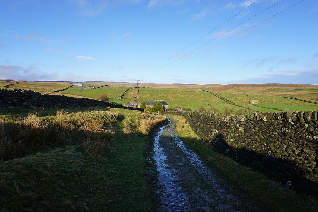
Heading for the track of Old Moor Lane and the hamlet of Yarnbury
Crossing the Duke's Water Course
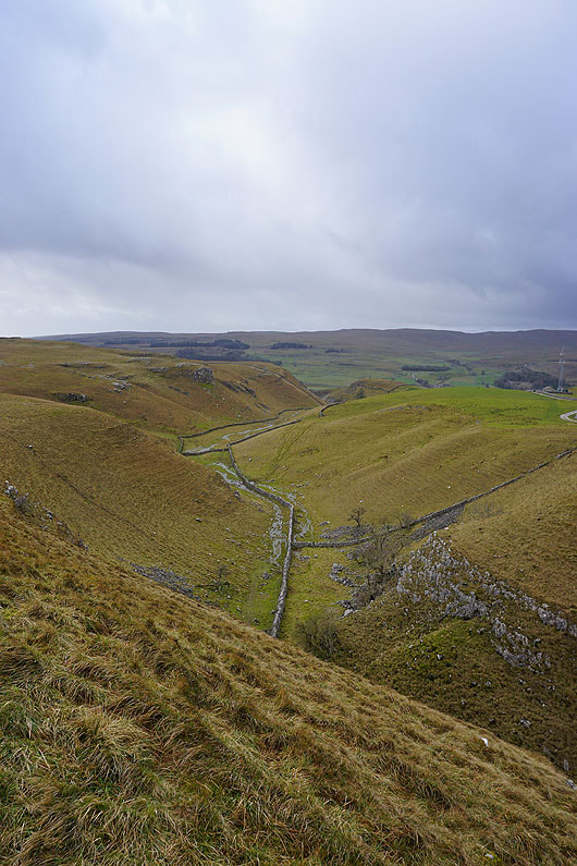
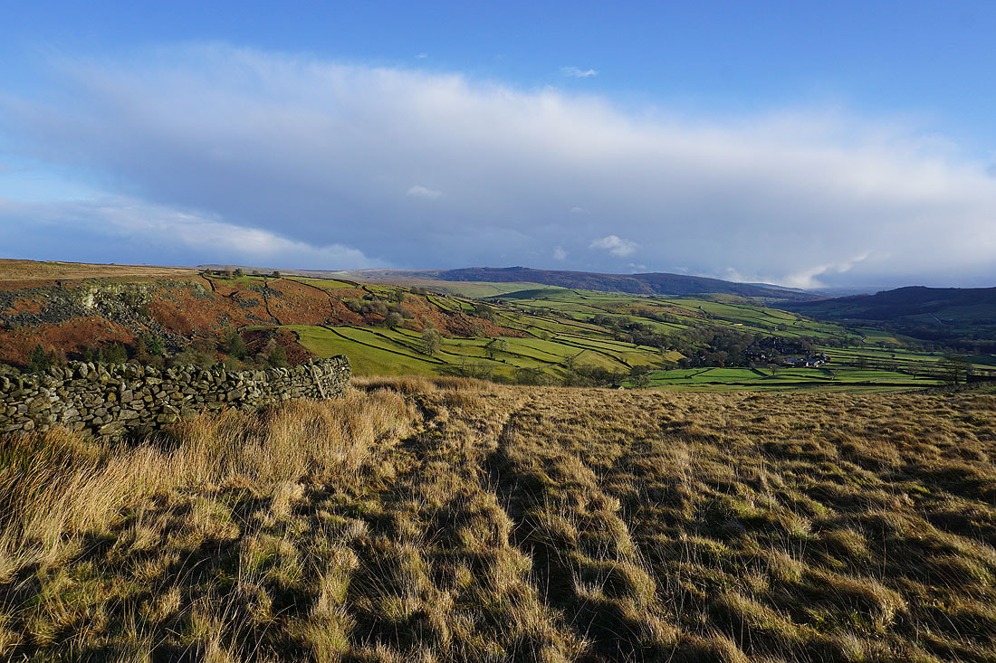
Grassington Moor from Old Moor Lane
Hebden Moor, with Simon's Seat in the distance
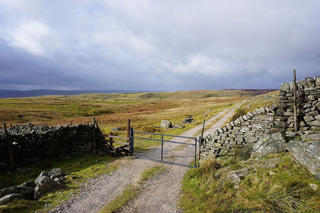
Approaching the hamlet of Yarnbury at the top of Moor Lane
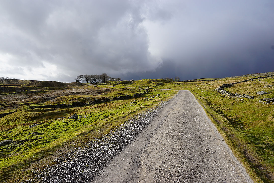
Looking back to Yarnbury from the bridleway down to Hebden Beck. I don't like the look of what's heading this way.
As the shower arrives the sunshine soon disappears
First, there's heavy rain and hail
and then it starts to snow
The shower starts to clear as I head south along the track of Tinkers' Lane, and it's left a dusting of snow on the top of Burnsall Fell
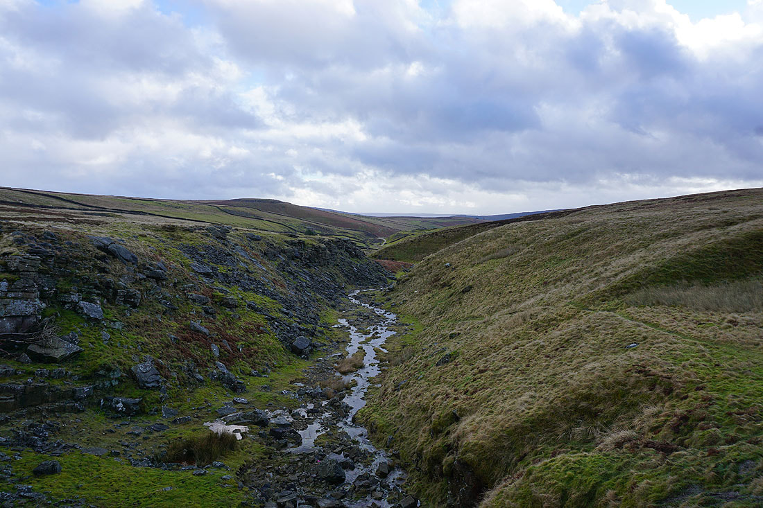
Looking across the valley of Hebden Beck to Care Scar and Edge Top..
..and back along Tinkers' Lane to High Garnshaw House
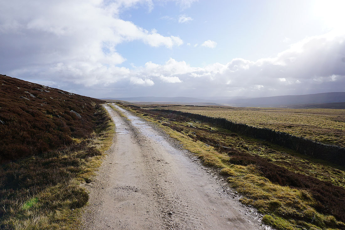
The afternoon sun gives some great colour to the moors for the view down Wharfedale to Hebden and Simon's Seat..

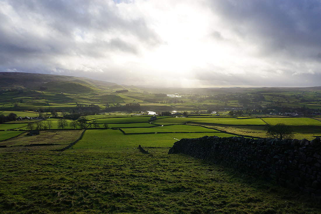
Looking across Wharfedale from the track of Edge Lane
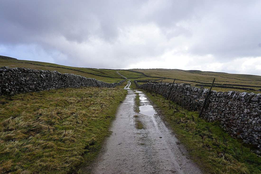
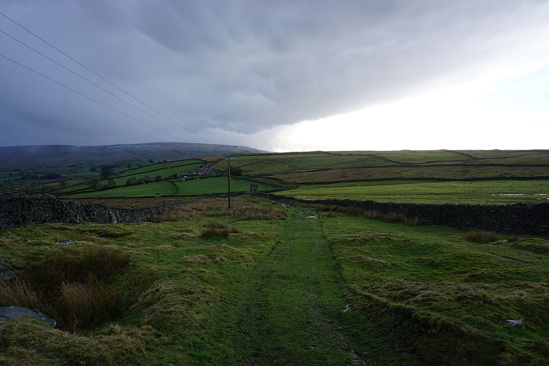
Heading west along Edge Lane
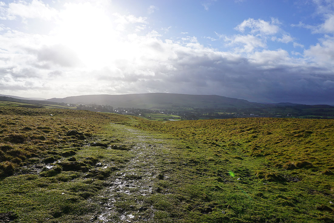
and then High Lane back to Grassington
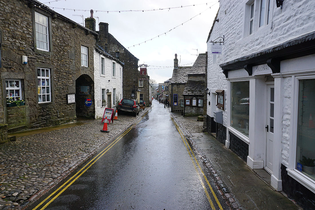
It's quiet on Grassington's Main Street late on a Sunday afternoon